
We flew to the island where a 6.0 magnitude earthquake had shook the Hawaiian archipelago the night before. What a way to start our Memorial Day weekend.
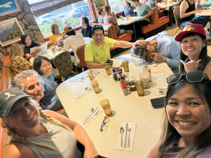
Ken’s House of Pancakes
Matt and Roger picked us up at the airport and drove straight to the old school diner with a massive menu. Some of us had omelets. Some of us had eggs-n-things. Some of us had pancakes. Some of us snorted Diamox with a rolled up Benjamin. Ballin’.
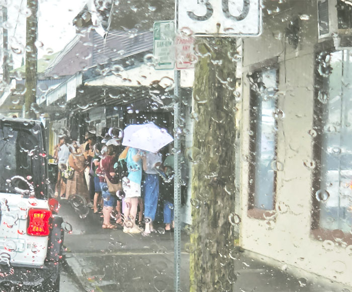
Two Ladies Kitchen
We stopped at the go-to-mochi shop but long lines exacerbated by graduation and holiday weekend appetites and Hilo rain showers resulted in no-go-to-mochi. KTA became the backup. Just as good, but not as fresh?
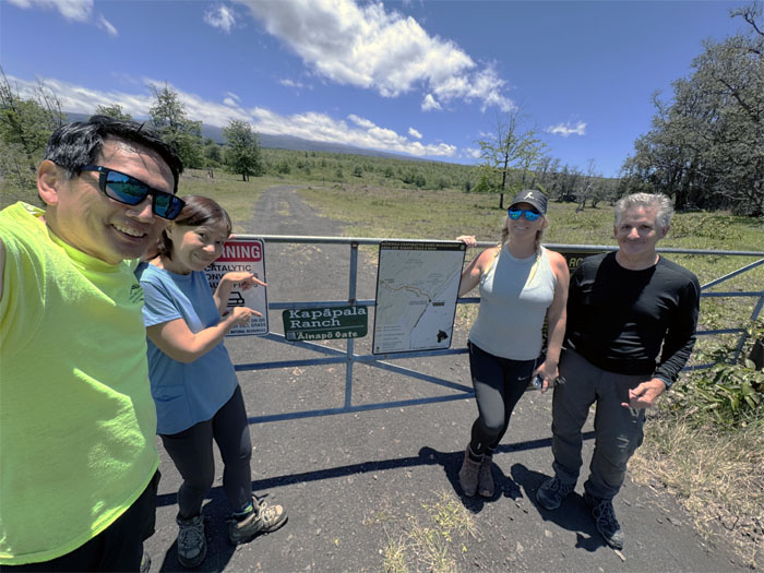
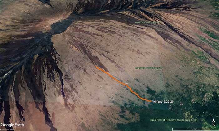
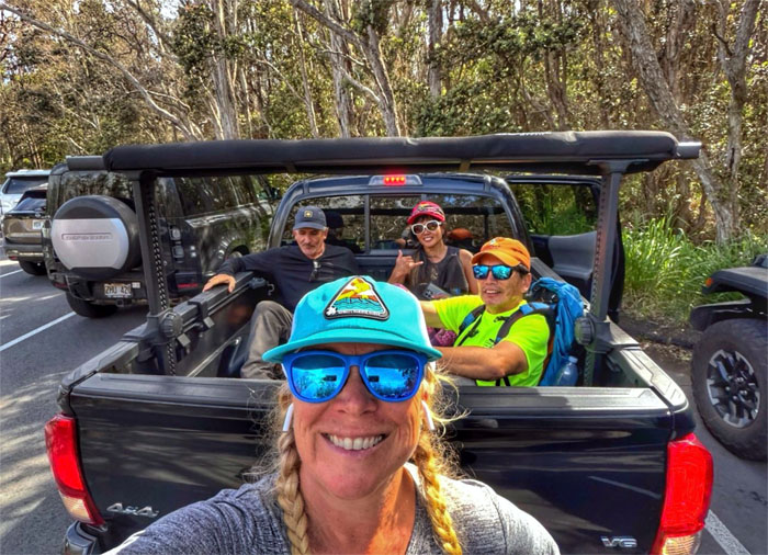
Ainapo Road
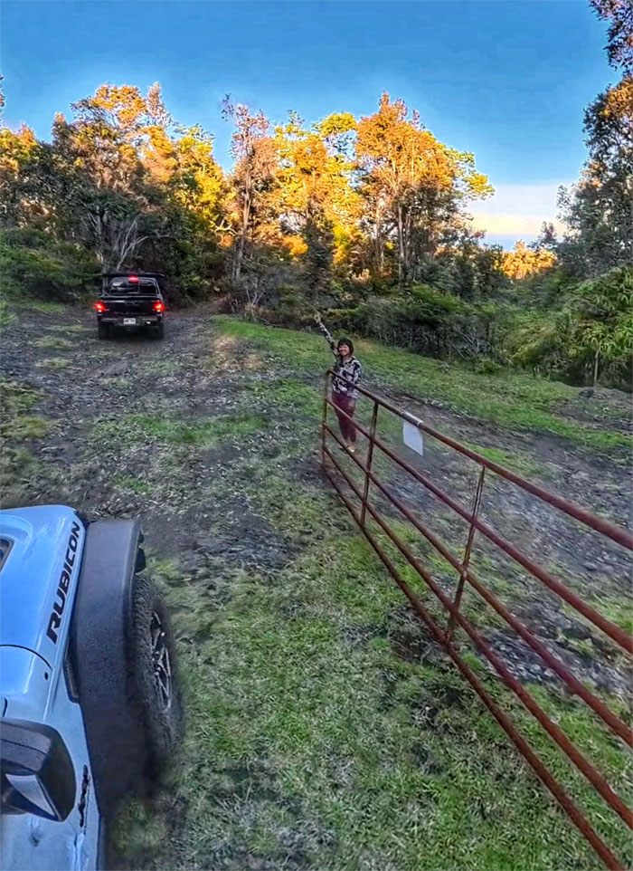
Thanks to Roger for getting the combination to the gate that allowed us to pass through.
Ainapo Road
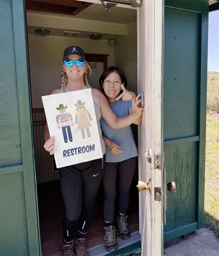
Some of us stopped to use the last flushing toilet on the trail.
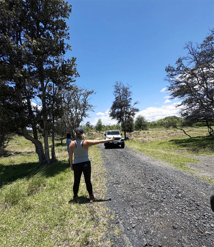
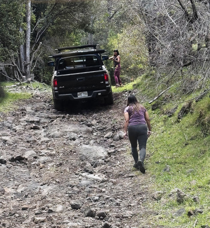
Ainapo Road
Thumbing a ride.
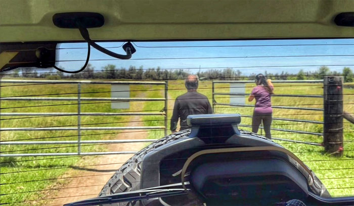
Ainapo Road
Closing the gates behind us and civilization.
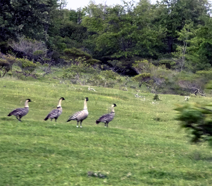
Ainapo Road
A gaggle of Hawaiian geese roaming the grounds.
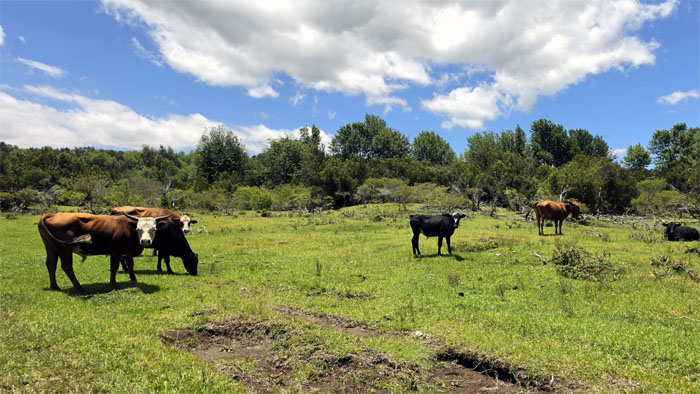
Ainapo Road
Passing through a herd of cows grazing on Kapapala Ranch that sprawls over 34,000 acres and was founded back in 1860.
Ainapo Road
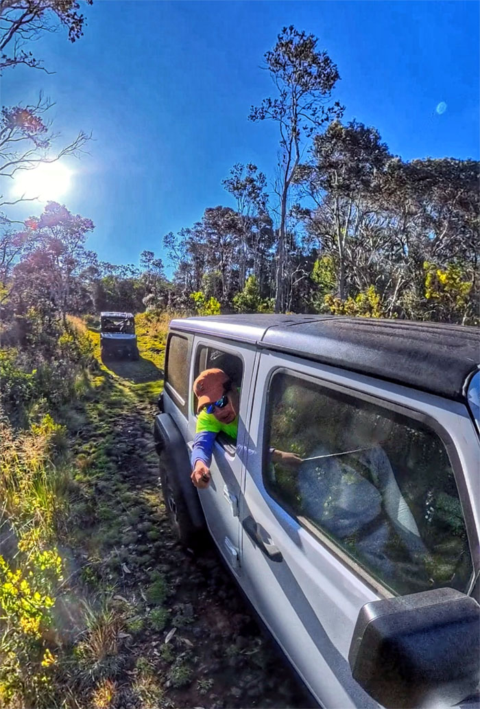
It was slow going up the road that was in rough shape from the storm that battered the area in March 2026.
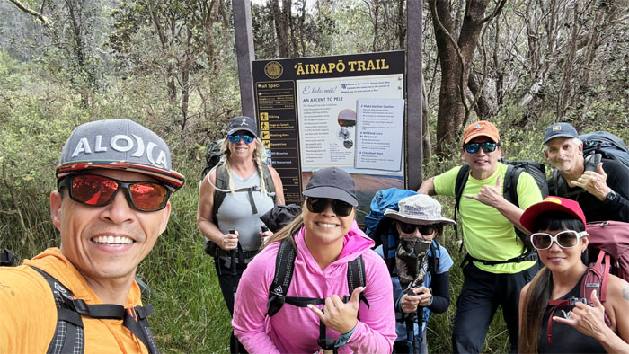
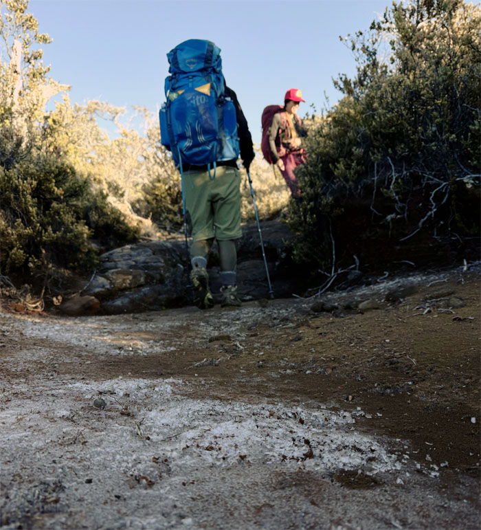
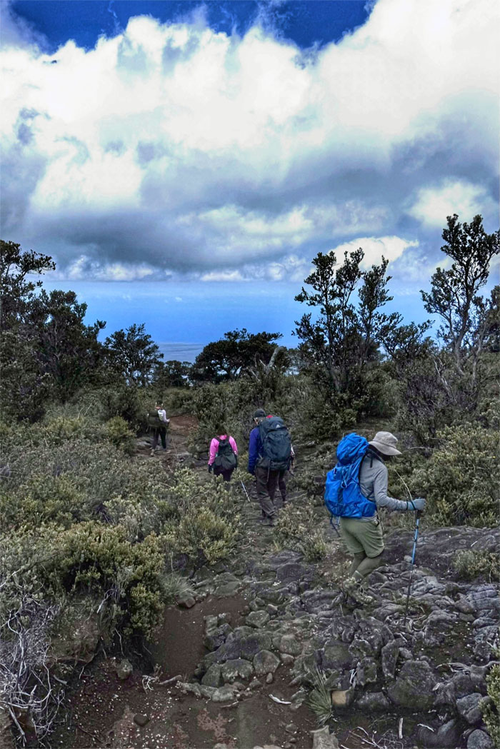
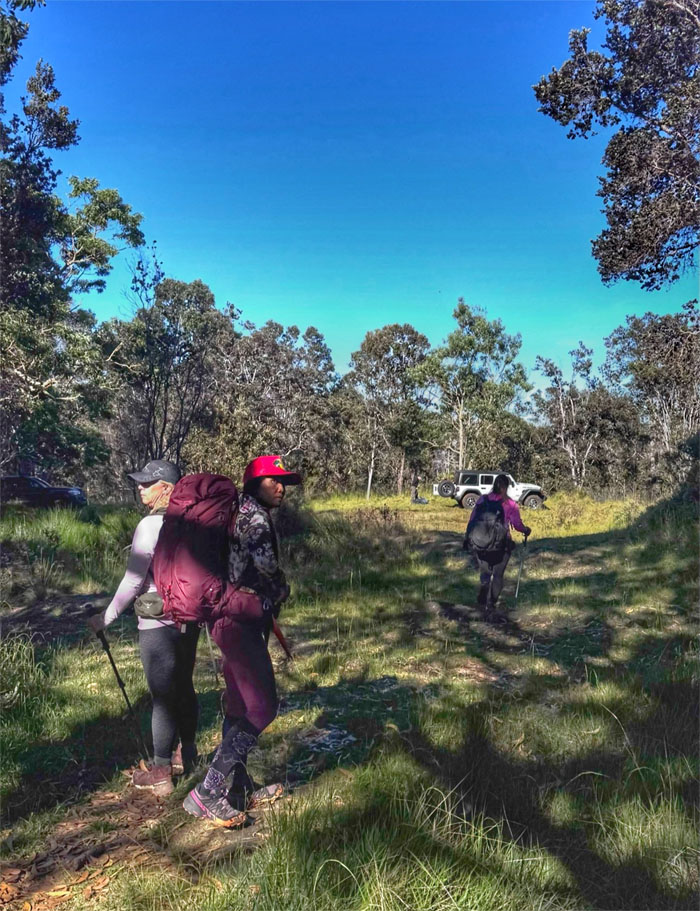
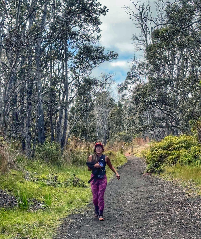
Ainapo Trail
We arrived at the trailhead after a little over two hours of 4×4 driving through the Kapapala Forest Reserve on the slopes of Mauna Loa.
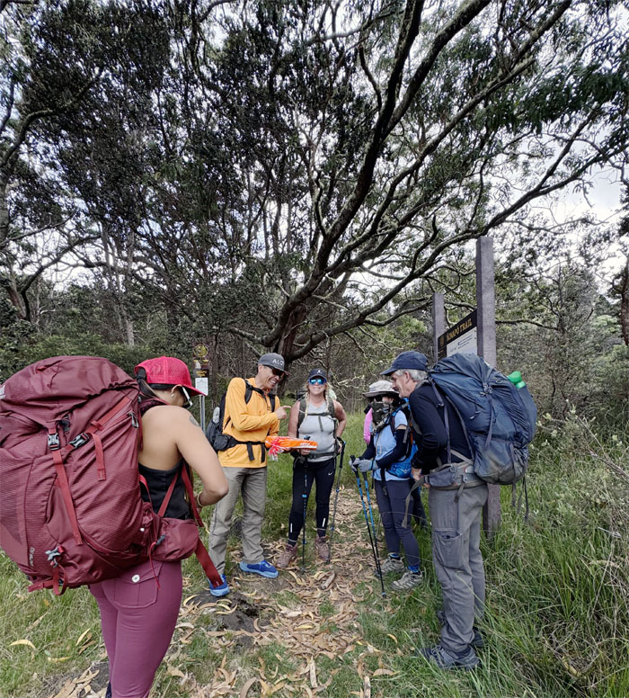
Ainapo Trail
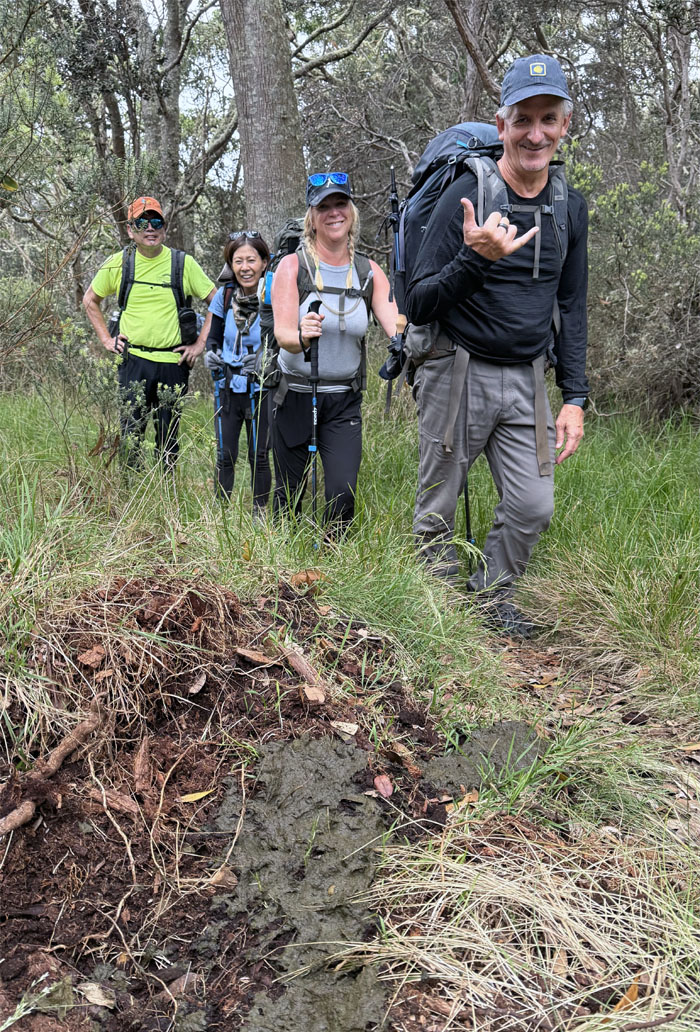
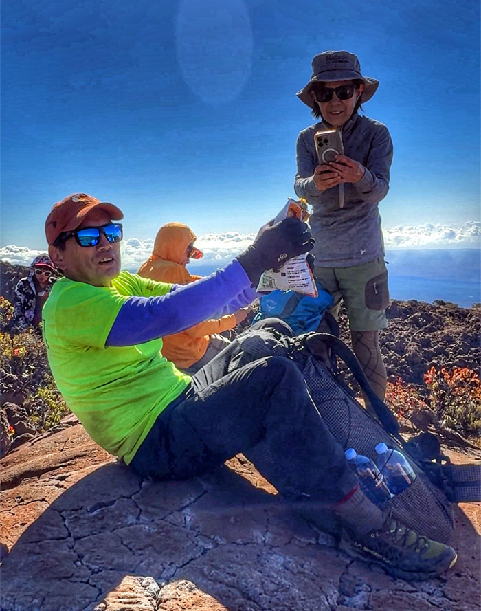
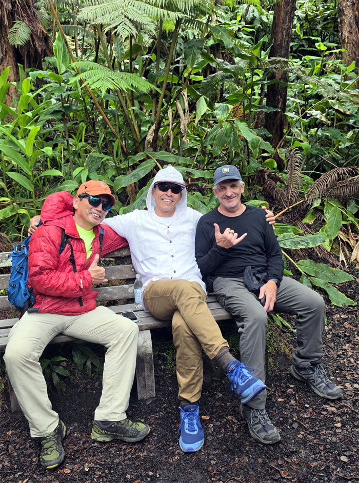
Matt explaining his meal schedule with the group.
Ainapo Trail
Stepping foot on the historic trail that originally began at the village of Kapapala at 2,000′ elevation. Thanks to our motorized vehicles, we were starting at 5,650′ elevation.
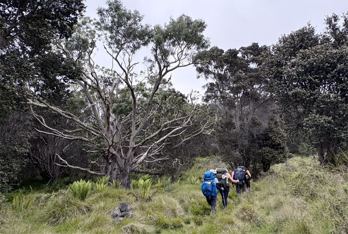
Ainapo Trail
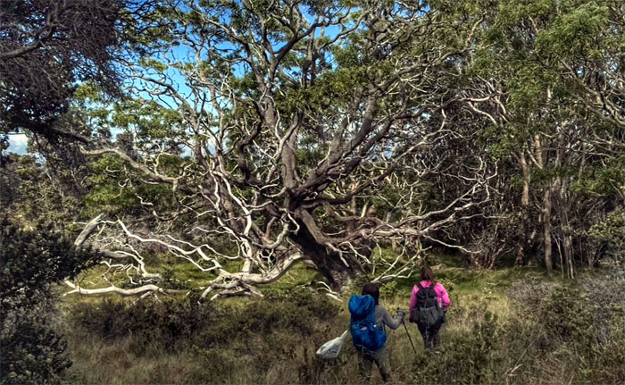
Somebody said that tree looks familiar.
Ainapo Trail
That’s one big buggah that begat so much bowel movement.
Ainapo Trail
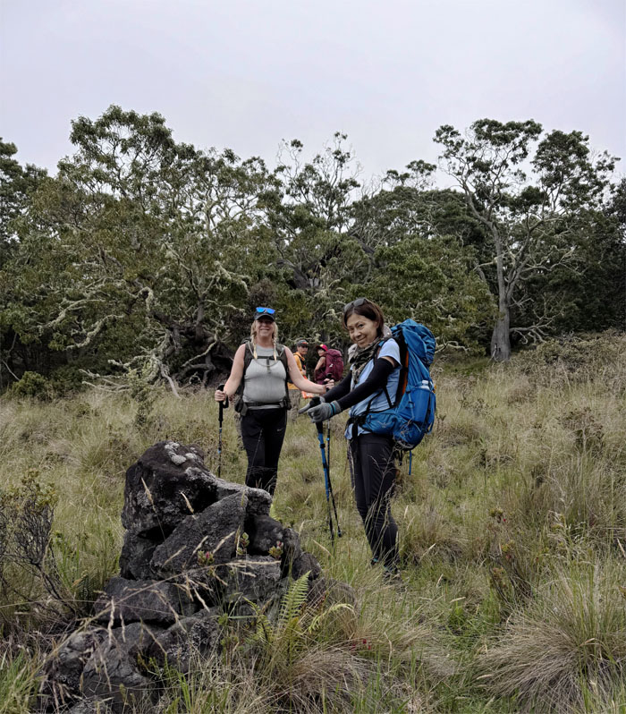
Somebody said that stack of rocks looks familiar.
Ainapo Trail
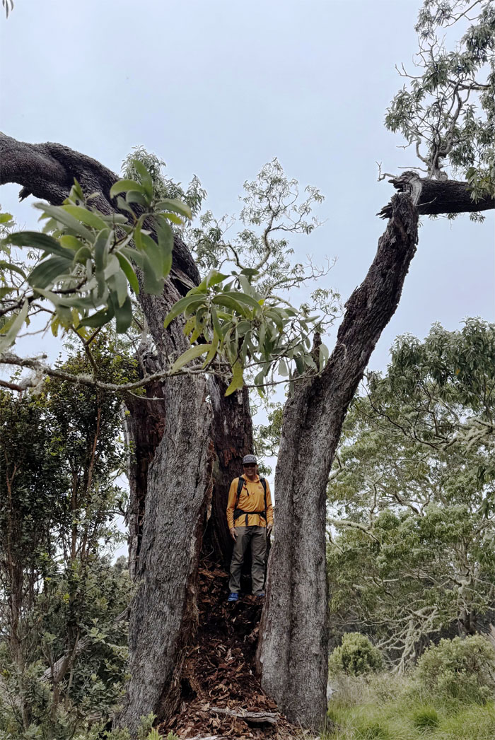
That somebody standing in the middle of a tree that was rent asunder by lightning or termites.
Ainapo Trail
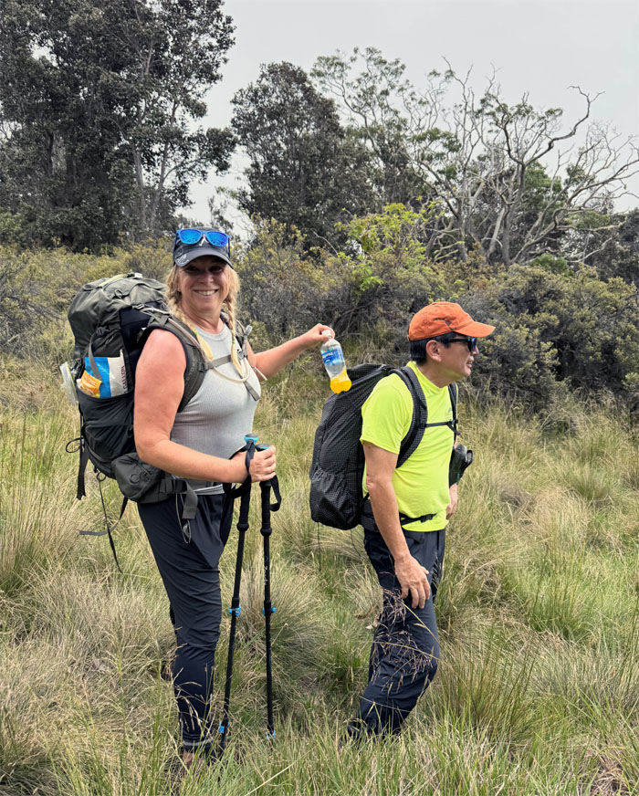
Why carry your own water bottle when you can have somebody else carry it for you?
Ainapo Trail
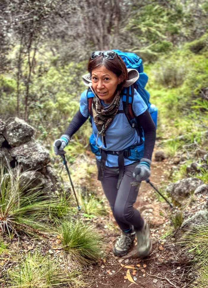
Are we there yet?
Ainapo Trail
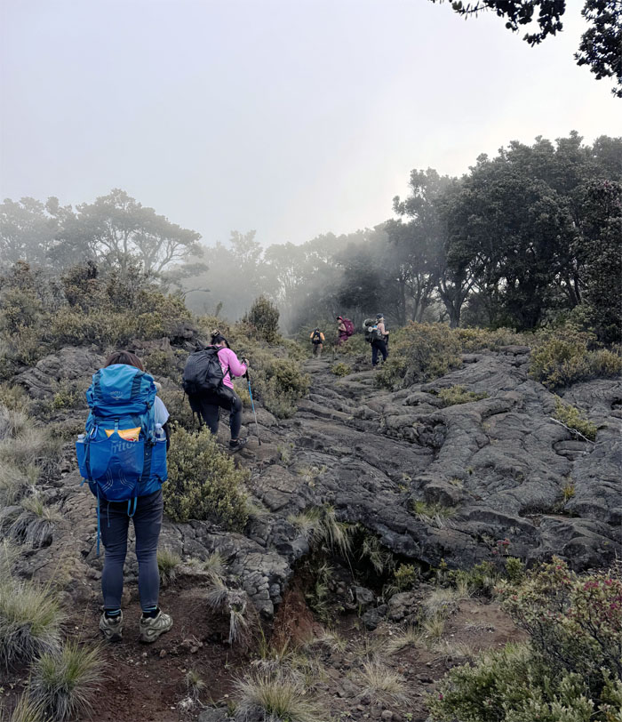
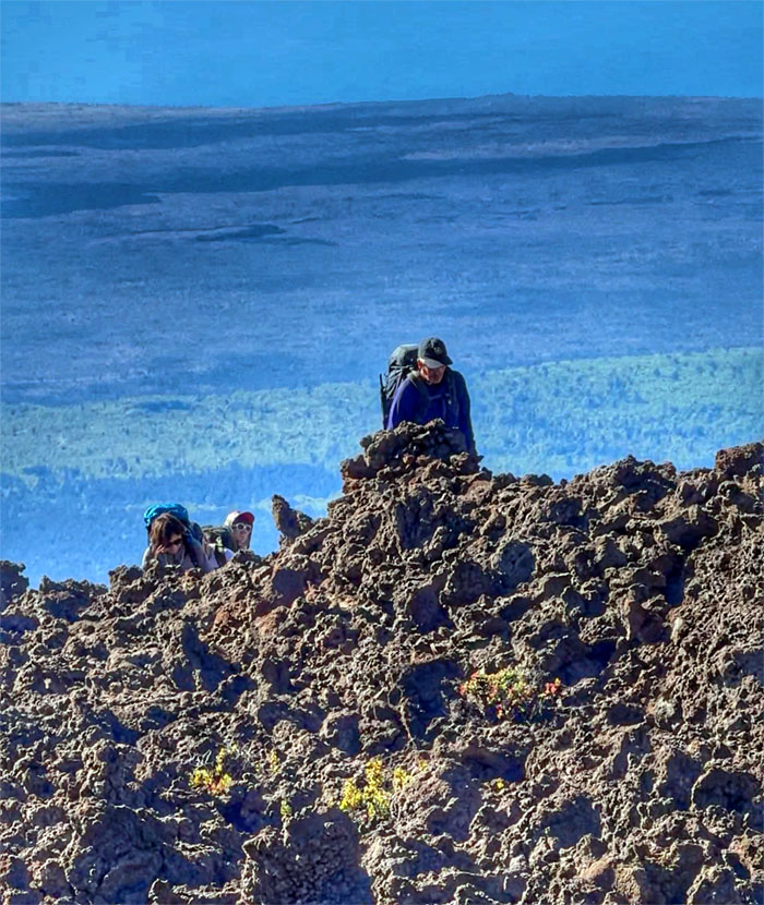
Somebody said we were getting close as he recognized the clouds.
Ainapo Trail
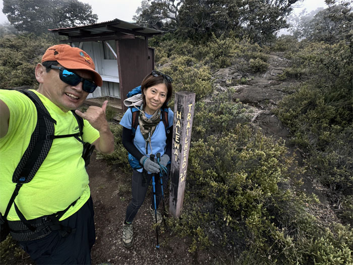
The trail marker that signaled the end of our hike for today at 7,750′ elevation. Official distance stated 2.7 miles, but mostly everybody else recorded a little north of three miles.
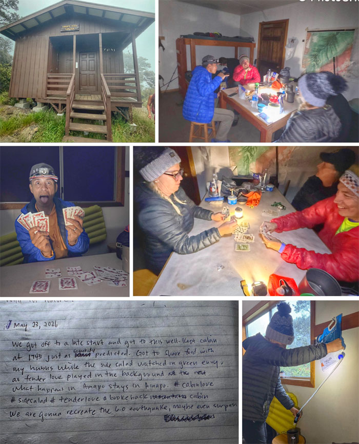
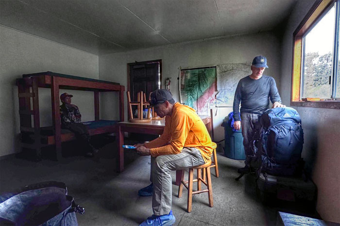
Halewai Cabin
Making ourselves comfortable in the cabin that was constructed in 1994 as we filtered water, shared our dinner meals, read amusing log commentary, played a couple of card games where Matt was crowned the OnlyFans Shithead and raced to discard all our cards in Speed.
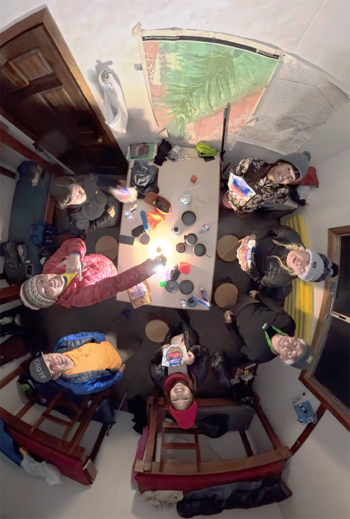
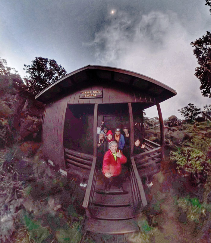
Halewai Cabin
Group photo in the solid cabin that sleeps six, well it sleeps seven tonight. Thanks to Roger for taking the floor.
Halewai Cabin
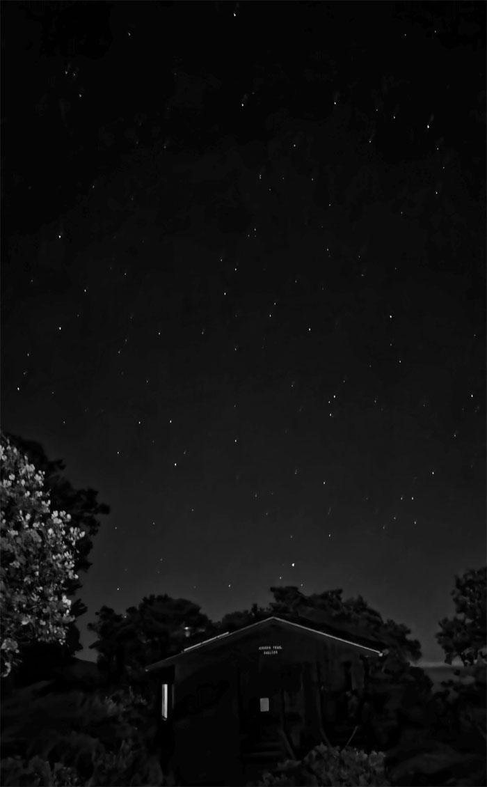
Less light pollution results in clearer, darker and sharper night skies.
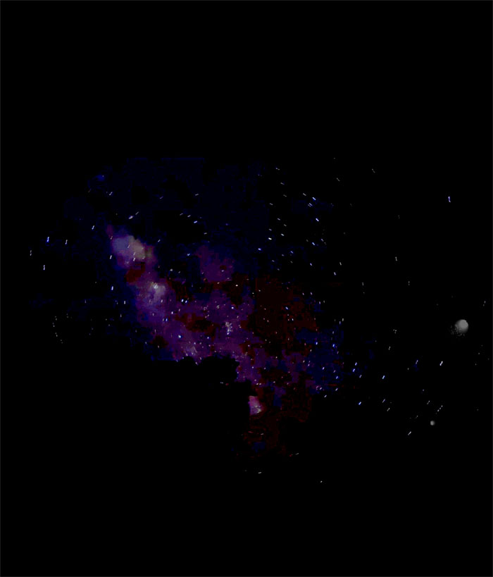
Halewai Cabin
When you have to empty your bladder late at night and catch the Milky Way. Is that the Milky Way?
Halewai Cabin
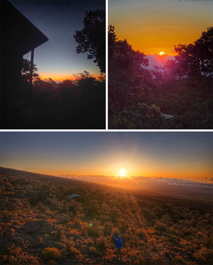
Day 2
Early birds caught the breaking sunrise.
Halewai Cabin
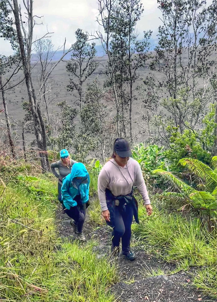
Leaving the cabin for our long hike on the long mountain. Turns out it would be a short hike on the long mountain.
Ainapo Trail
Passing patches of ice on the trail.
Ainapo Trail
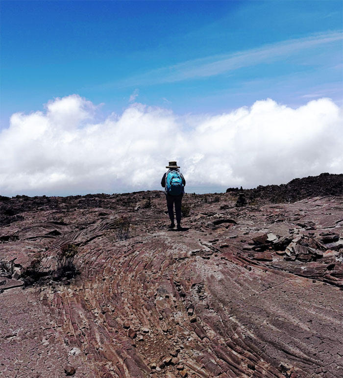
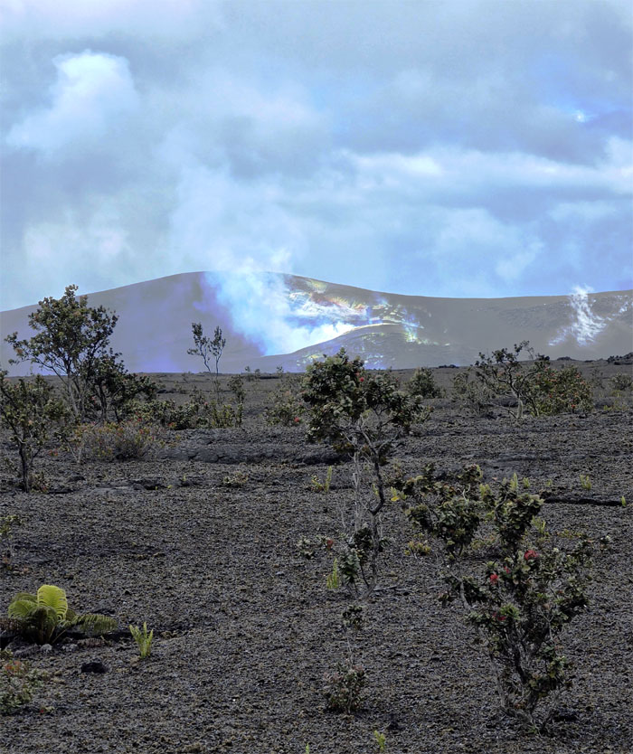
We left the tree line behind us as we stepped foot on the “darkened land” with the Halema’uma’u pit crater and her steady sulfur dioxide plume in the background.
Ainapo Trail
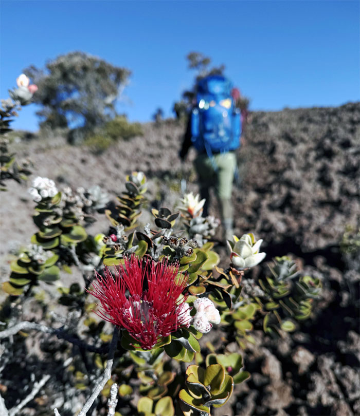
One of many ohi’a trees with its scarlet lehua blossoms, they are one of the first plants to grow on lava flows.
Ainapo Trail
Privatization of the lower lands for ranching and hunting and the creation of the Mauna Loa trail in 1915, resulted in this trail falling out of favor.
Ainapo Trail
Matt taking care of business and building his own MAHU.
Ainapo Trail
Trail maintenance or old age.
Ainapo Trail
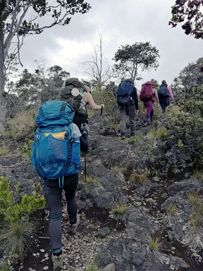
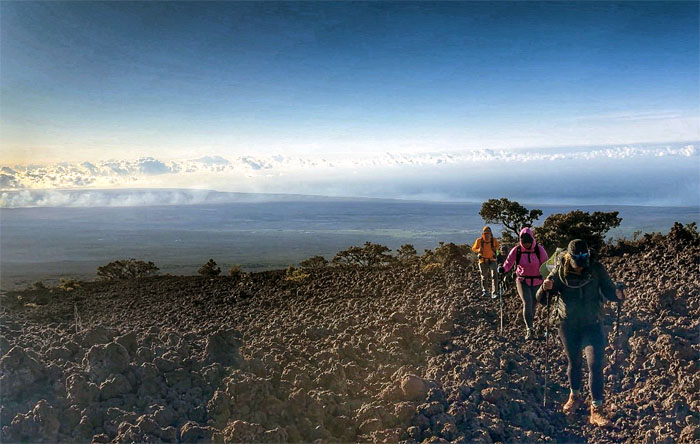
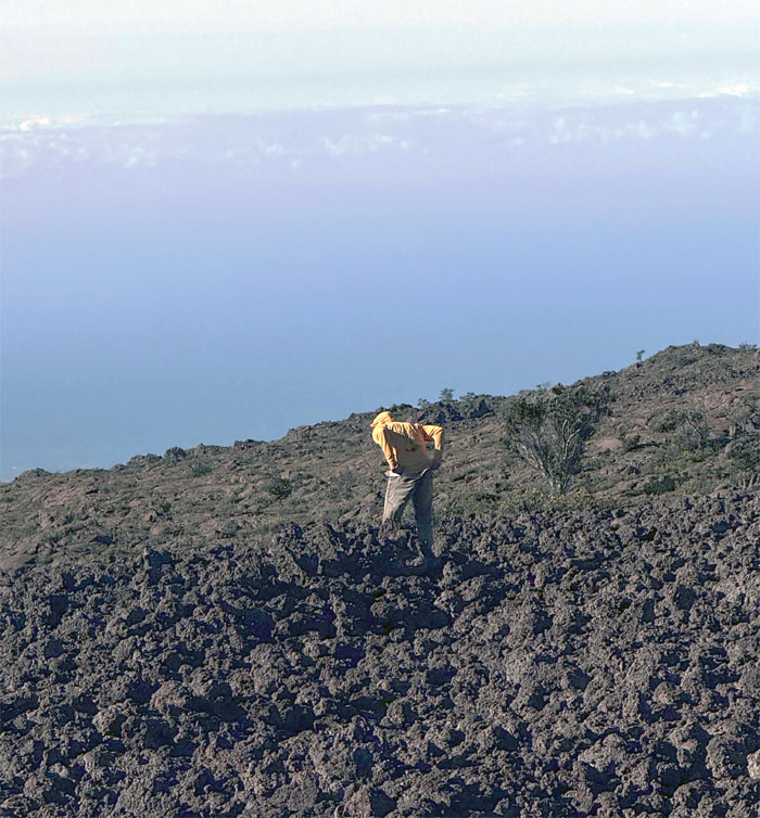
Slowly gaining elevation and we weren’t even near the altitude where the air gets progressively thinner.
Ainapo Trail
Nobody caught the bag depressurization. Too fast. Too slow.
Ainapo Trail
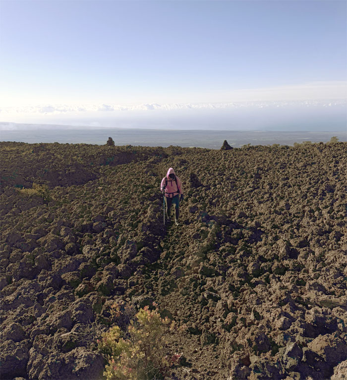
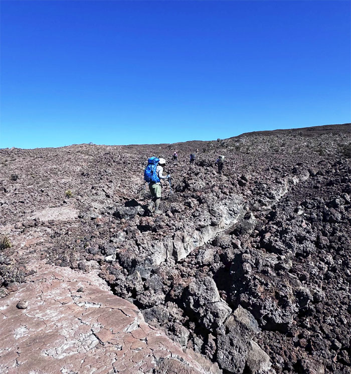
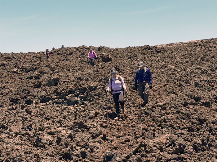
Leaving the oasis of pahoehoe lava rock for the crunchy lava fields of a’a rocks.
Ainapo Trail
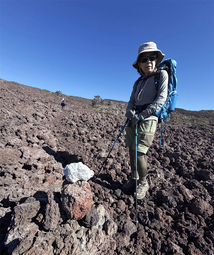
Mari next to a “baked potato” or “burrito” stacked on an ahu, which are rocks wrapped in reflective aluminum foil to help hikers navigate the trail.
Ainapo Trail
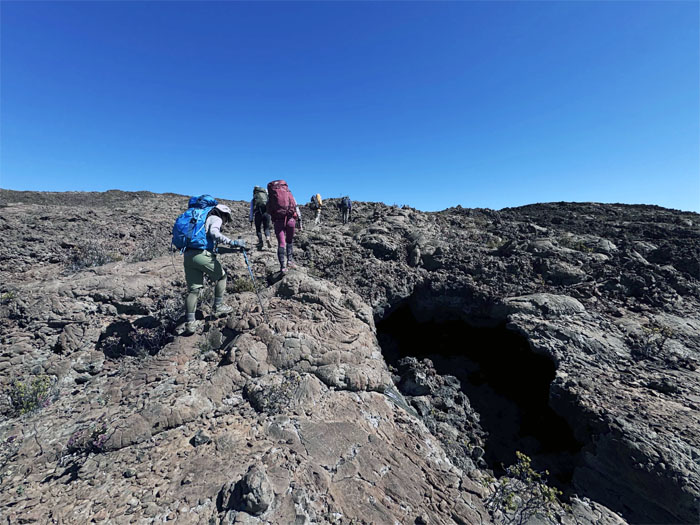
Passing one of many lava tubes.
Ainapo Trail
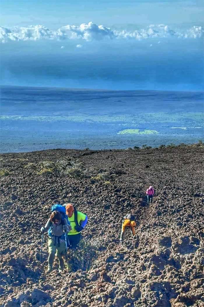
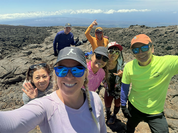
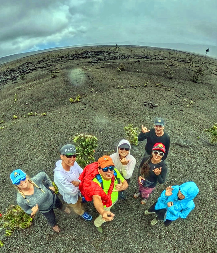
Group photo at 9,939′ as we contemplated the realistic chances of reaching the cabin before nightfall at the current pace and the even more grim chances of making our flight back home tomorrow. The unfortunate decision was made to turn around given the situation. Some were disappointed. Some were pleased as punch.
Ainapo Trail
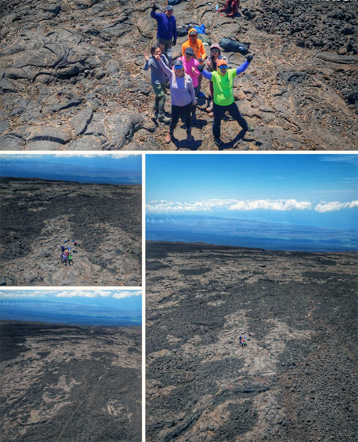
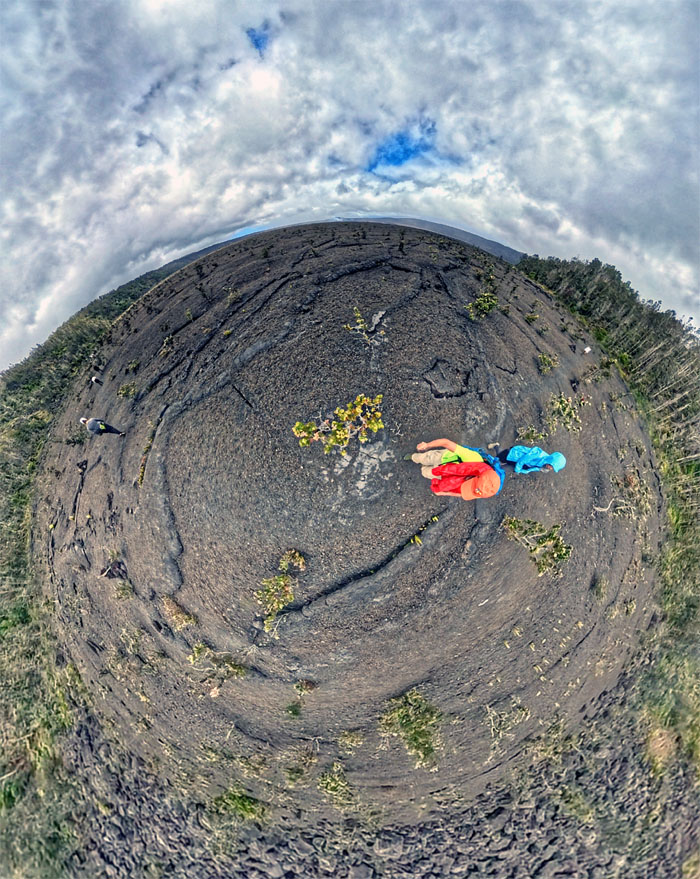
Drone views of the vast volcanic landscape. They don’t call this place long mountain for nothing.
Ainapo Trail
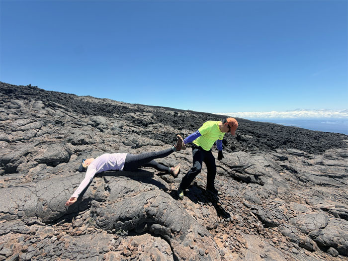
Dragging dead weight off the mountain.
Ainapo Trail
Heading back down the same way we had come from, give or take.
Ainapo Trail
A lone hiker with no time for small talk and wearing fashionable crocs passed us on her way down to the bottom of the jeep road. It seems that she had hiked up a day earlier from the highway to the Mauna Loa cabin and now was going back down. Talk about racking up some mileage in two days.

Ainapo Trail
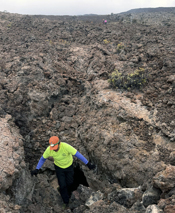
Passing through a lava trench.
Ainapo Trail
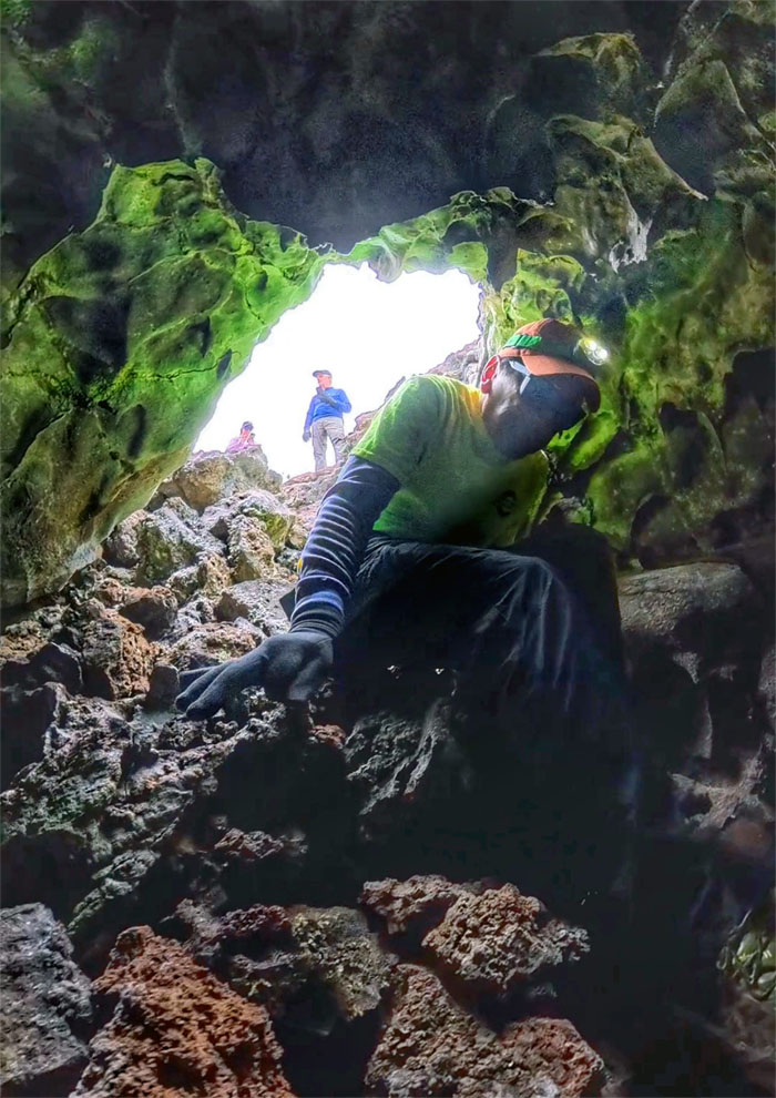
Exploring a lava tube.
Ainapo Trail
It was a very short exploration.
Ainapo Trail
Leaving the ankle twisting a’a fields behind us as we descended towards the cabin.
Halewai Cabin
Matt squeezing the last of his peanut butter shot as we retrieved our rubbish and belongings and cleaned up the cabin.
Ainapo Trail
Passing by the articulated arthritic tree.
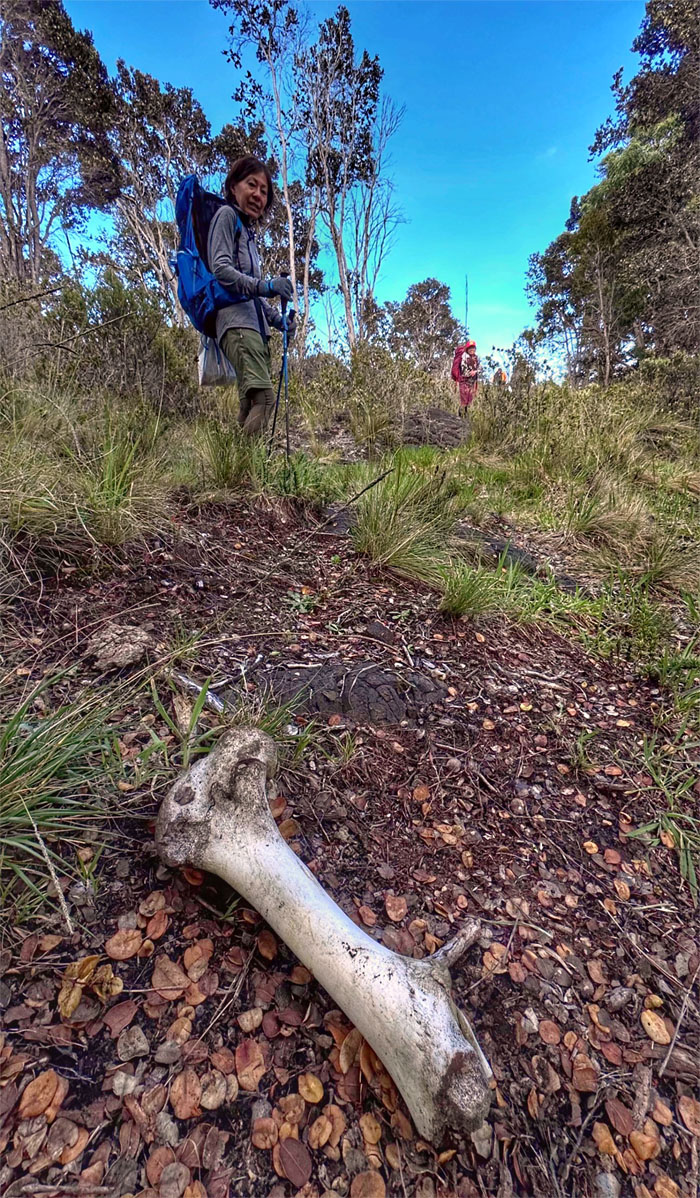
Ainapo Trail
Thigh bone connected to the hip bone.
Ainapo Trail
Back to our cars as the trail finally ended.
Ainapo Road
Traffic jam on the way down the road.
Ainapo Road
Aileen closing the gate for us as we approached the highway.
All pau
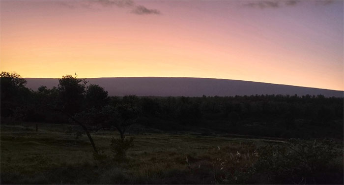
Looking back at Mauna Loa as the sun set over her long mountain. We ended up having our dinner at Kurtistown Cafe and retired for the night at Marilyn’s friends house. No staying at an unfinished restaurant this time.
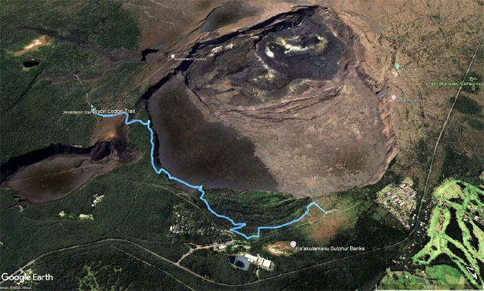
GPS Tracks
Our weekend hike of 10.68 miles didn’t quite materialize as planned as we fell short 3,311 feet of elevation, but it was still a good experience for the group and fun times.
Steam Vents
Day 3
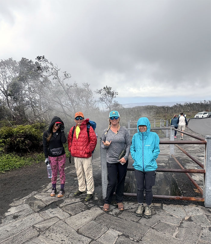
Thanks again to Toni for allowing us to stay overnight at her guest house, we had breakfast at Countryside Cafe, where the steak and lobster was out. Our last day on the Big Island was spent at the Hawaii Volcanoes National Park where we warmed ourselves in the chilly morning air by standing next to the heated steam escaping from the natural openings.
Hawaii Volcanoes National Park
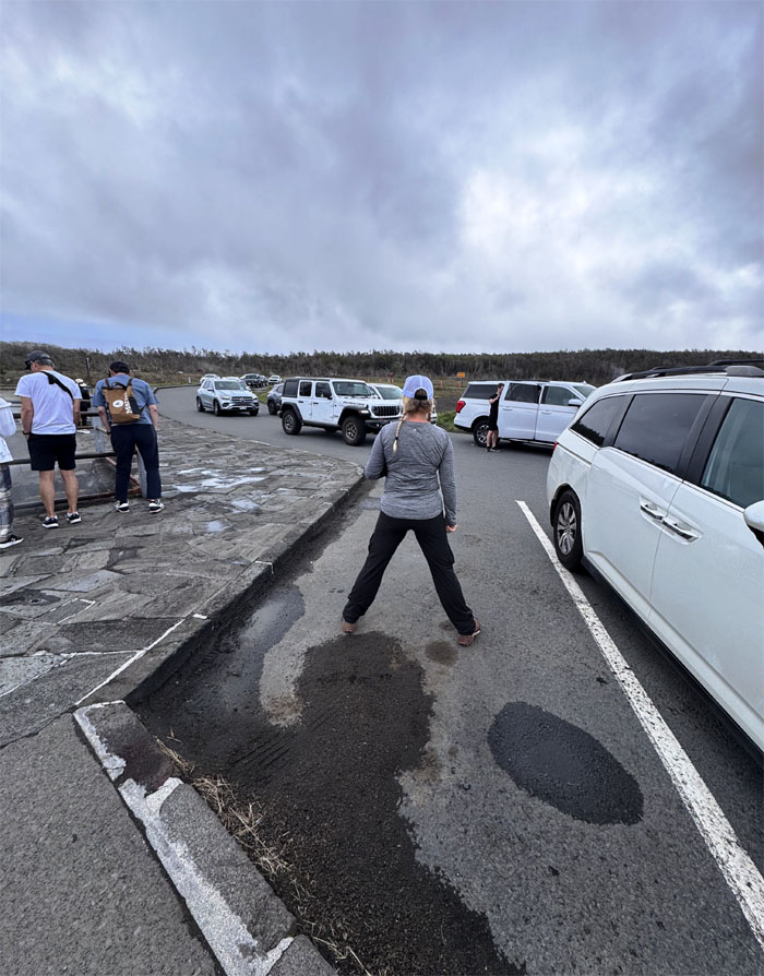
This is how Ohio people reserve parking stalls.
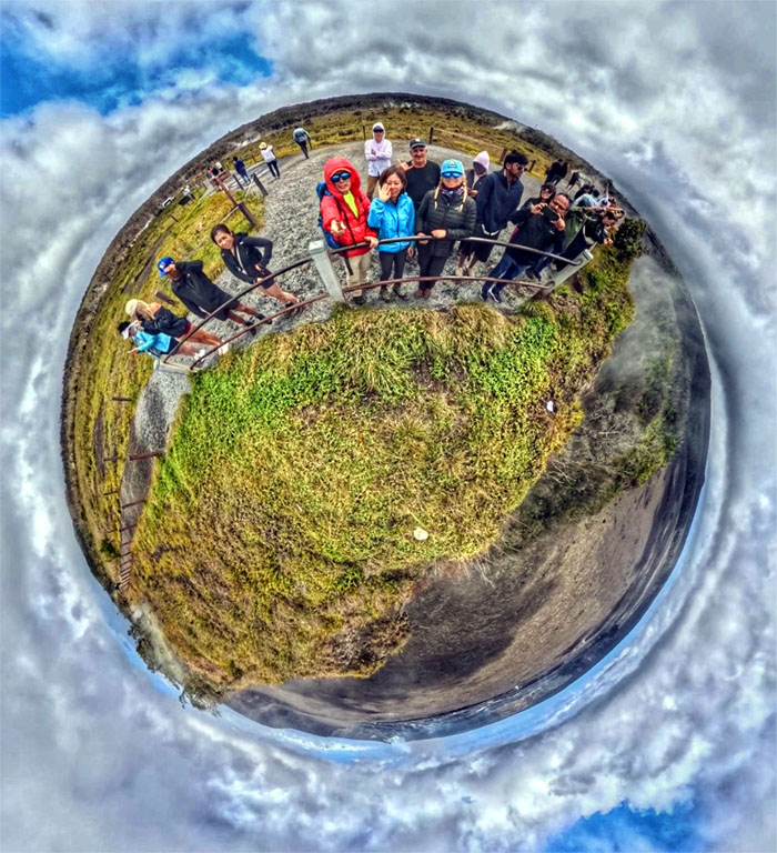
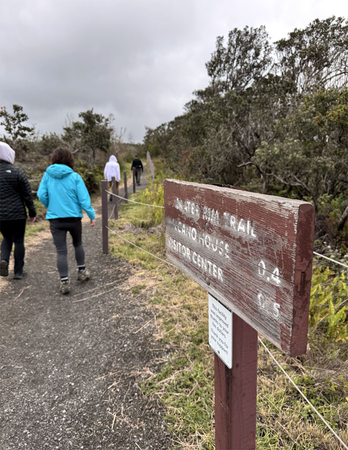
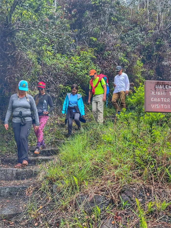
Crater Rim Trail
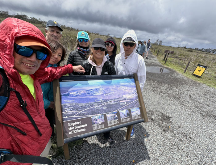
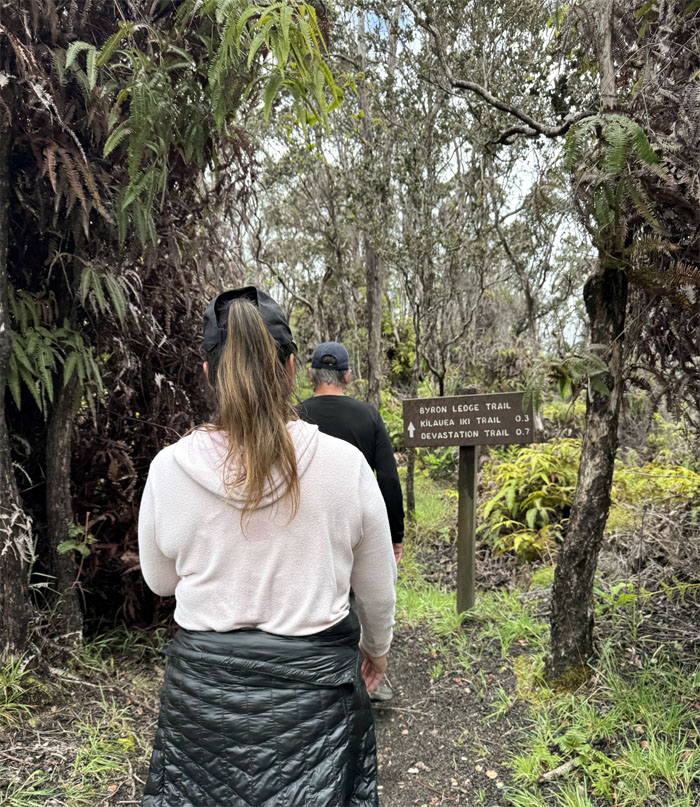
Our plan was to hike to Bryon Ledge Trail and hopefully catch Episode #48.
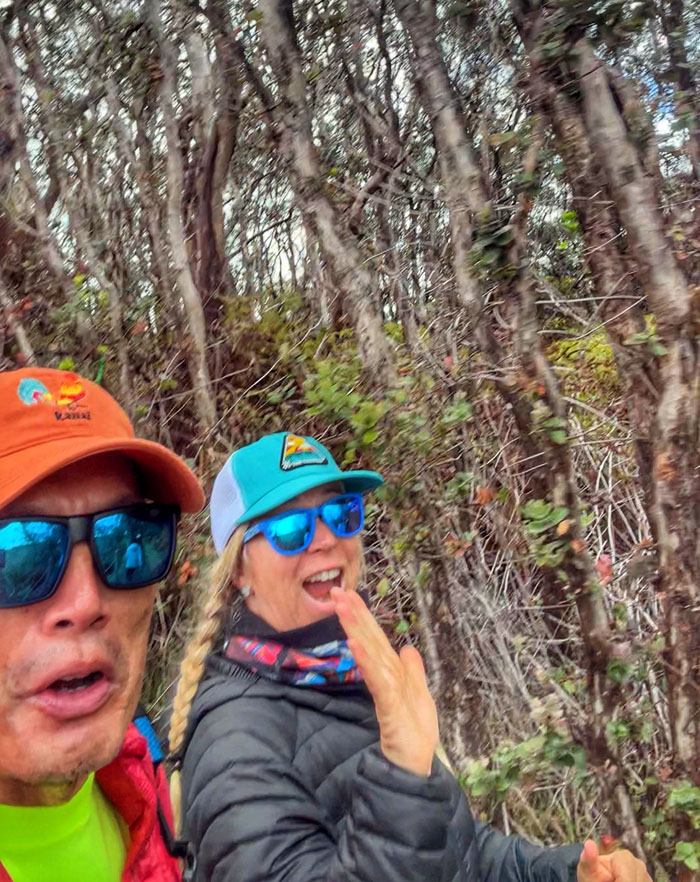
Crater Rim Trail
Looking out at the Kilauea Caldera that has been the most active of the five volcanoes that make up the islands.
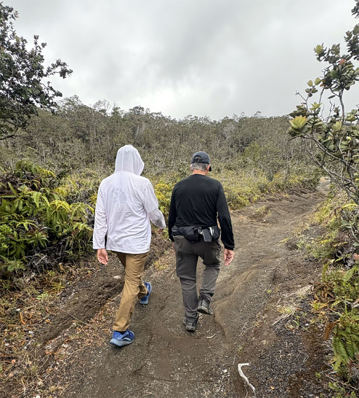
Crater Rim Trail
Passing through Wahinekapu (steaming bluffs) and Ha’akulamanu (sulfur banks), both areas represent the divine manifestation of Ku and Pele.
Crater Rim Trail
Pseudo trail running.
Crater Rim Trail
Some people need to respect other people’s personal space.
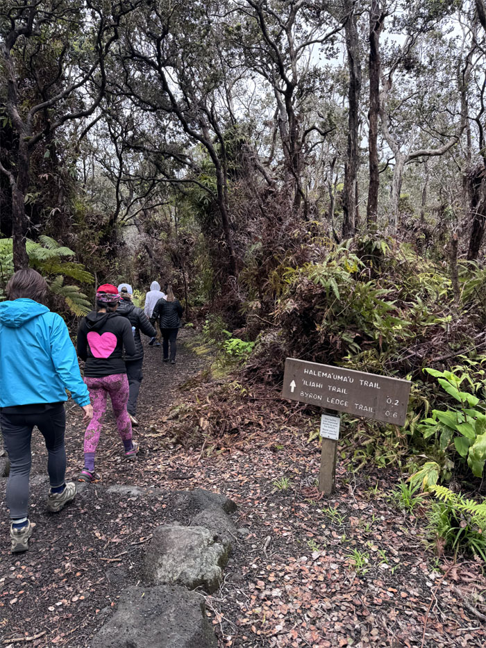
Halema’uma’u Trail
Keeping to the right.
Halema’uma’u Trail
Sharing personal space.
Halema’uma’u Trail
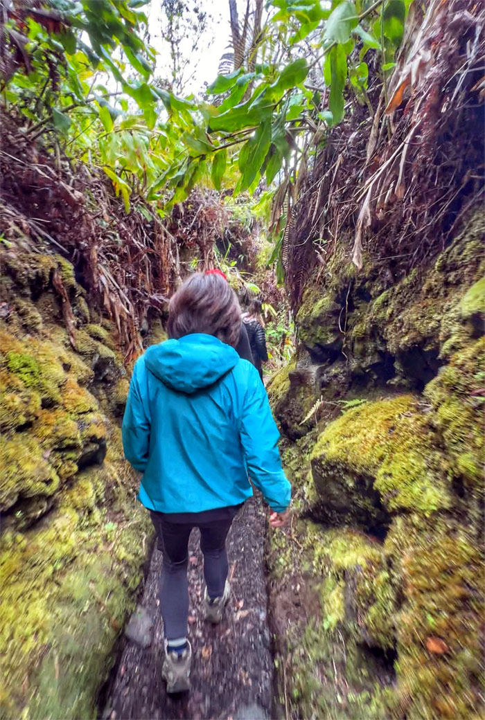
Walking through a corridor of moss encrusted lava rock.
Halema’uma’u Trail
Descending down the steps to Kilauea Caldera.
Kilauea Caldera
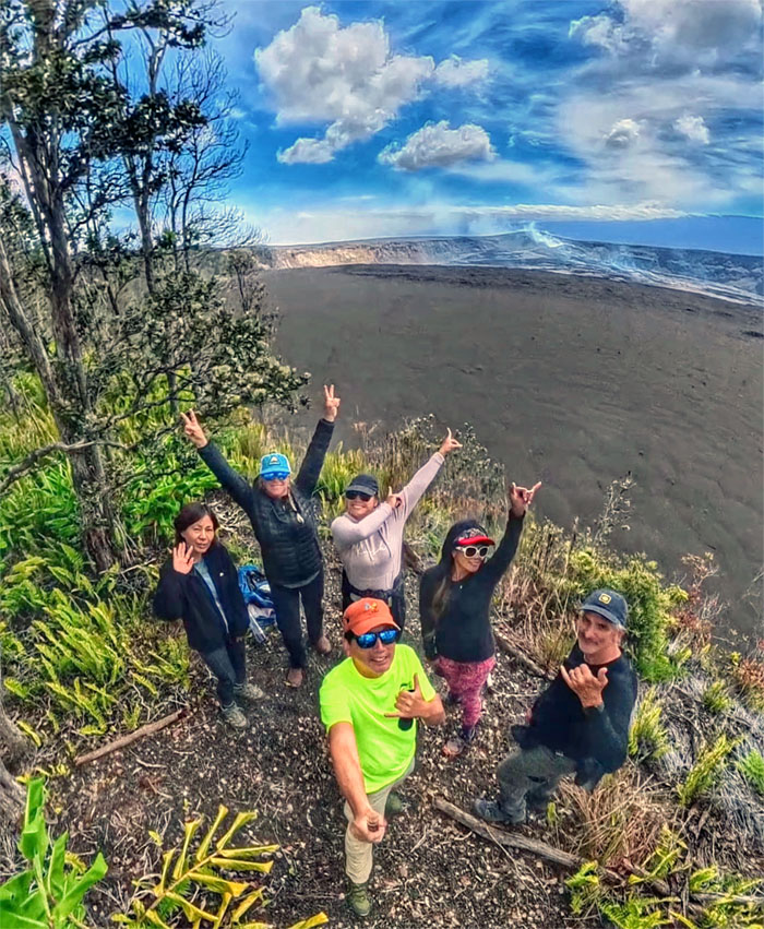
Group photo with the expansive Kaluapele behind us.
Kilauea Caldera
Walking across the volcanic depression that was created circa 1790, populated mainly by ohi’a trees.
Kilauea Caldera
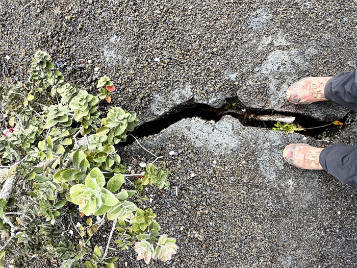
Straddling a linear crack that could track underlying magma pathways.
Kilauea Caldera
Looking across to the degassing plumes coming from the Halema’uma’u pit.
Byron Ledge Trail
Climbing our way out of the caldera floor.
Byron Ledge Trail
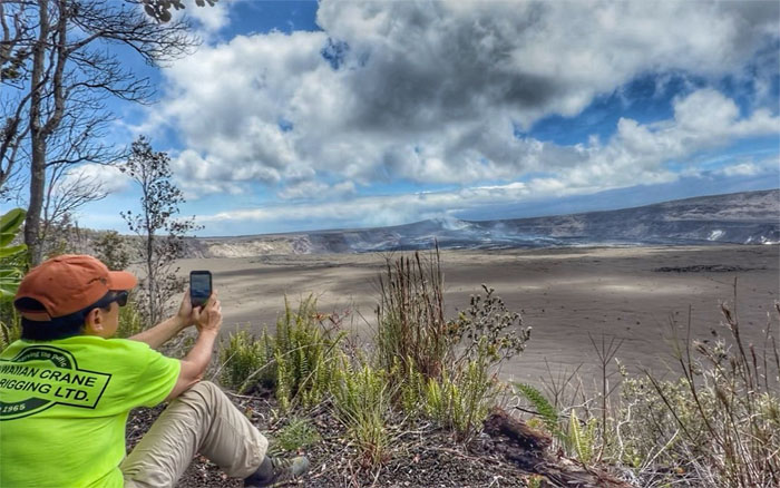
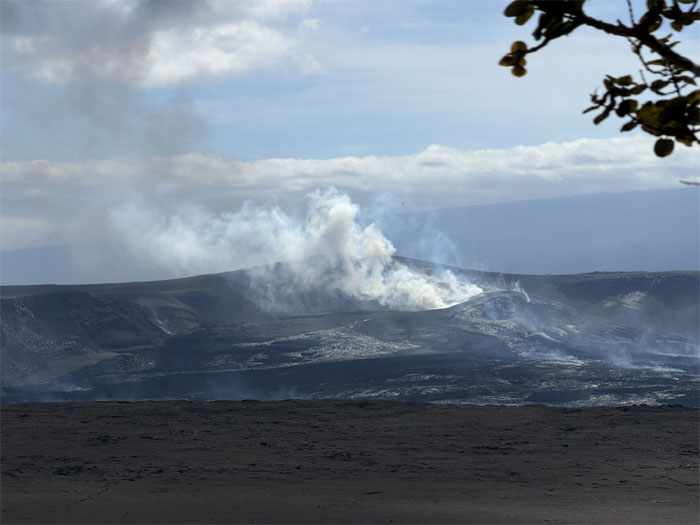
Scenic view of Halema’umau’u degassing in the distance. There is a better spot to view the pending eruption?
Byron Ledge Trail
Lead the way.
Byron Ledge Trail
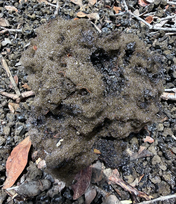
One of the larger examples of tephra scattered on the ground from prior eruptions. This particular one was called reticulite, a highly porous sponge like rock that weighed almost nothing as it was made up of interconnected gas bubbles.
Byron Ledge Trail
Matt found out the hard way that when you crush tephra with your bare hands, that it breaks easily into sharp slivers that behave exactly like fiberglass. Got tweezers?
Byron Ledge Trail
A certain amateur volcanologist assured us that the eruption would occur at 1300hrs. We waited with bated breath. Should have listened to the other amateur volcanologist.
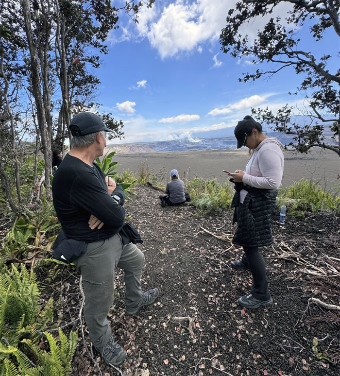
Bryon Ledge Trail
We all settled in as the plumes shimmered with red and brown hues, or it probably was just our eyes playing tricks on us.
Bryon Ledge Trail
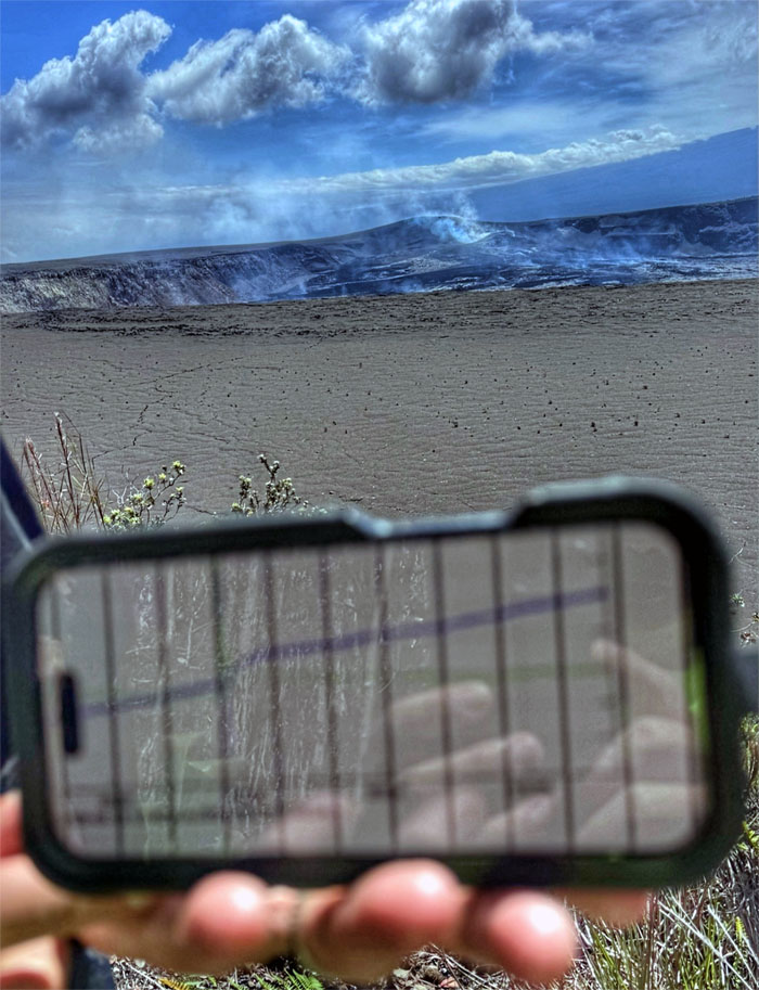
The ascending blue line indicated inflation while the descending green line indicated deflation, all positive signs that should have meant an eruption. Should’ve. Could’ve. Would’ve.
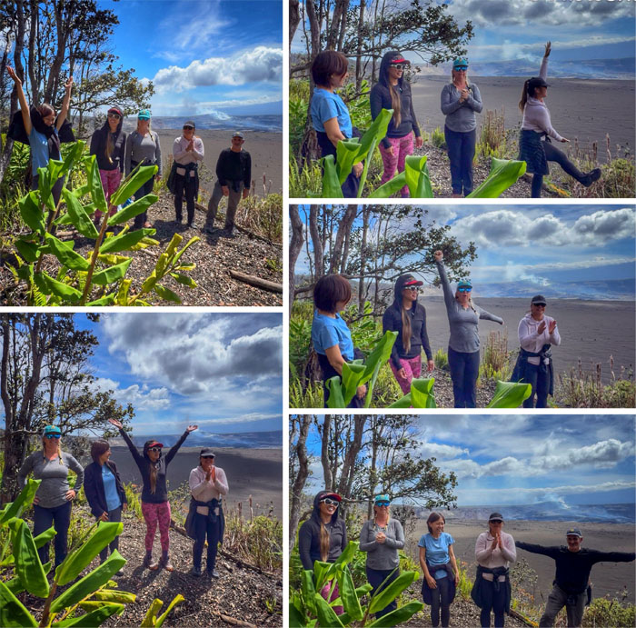
Bryon Ledge Trail
Maybe some cheering will help? V-O-L-C-A-N-O! L-A-V-A! P-E-L-E! E-R-U-P-T! F-A-I-L.
Bryon Ledge Trail
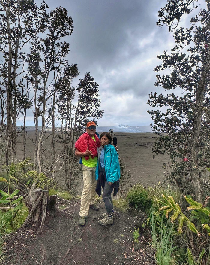
Our last group photo as we decided to throw in the towel after waiting over two hours for the anticipated episode #48. It was a bust. You can’t control Madam Pele.
Bryon Ledge Trail
Looking back to see if she would blow. Nope. Happy birthday to me.
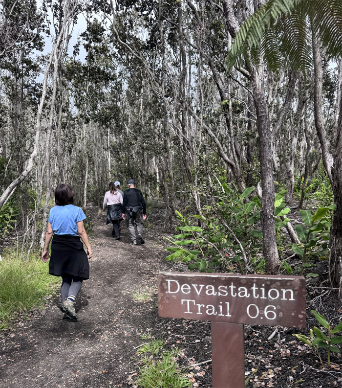
Devastation Trail
We left the viewing area devastated.
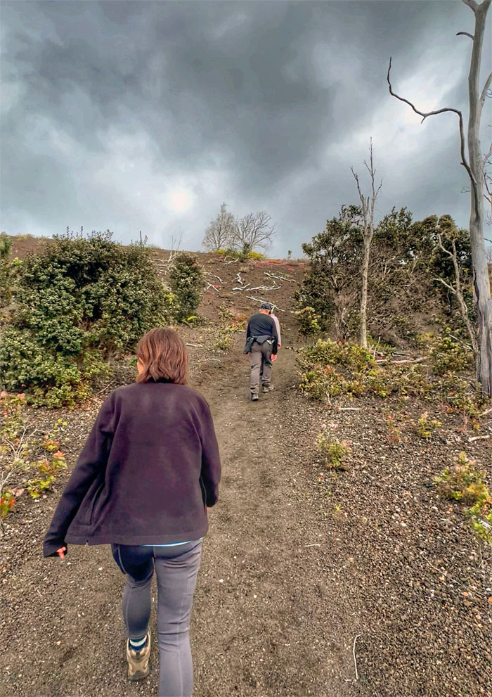
Devastation Trail
The trail living up to its name.
Devastation Trail
Somebody used the bathroom, took the wrong turn and had to jog her way back down.
All pau
We left the park that was filling up with visitors hoping to catch a view of the pending eruption. Better luck than we had. Dinner at Van Vietnamese Cuisine in Hilo. Broke da mouth. Matt decided to stay another night in hopes of witnessing what we failed to witness.
GPS Tracks
Our promised hike of six miles delivered a little more than half. No complaints. While we didn’t summit or see fountaining lava, I guess we have to come back with Crocs and better cheering, it was still an amazing weekend with fun friends. Thanks to Roger to getting ranch access, cabin permits and driving the jeep around this weekend. Mahalo to Marilyn for borrowing her friends truck and securing overnight accommodations.
Photos/Crew taken by Aileen Agustin, Allison Banks, Mari Saito, Marilyn Bermudez, Matt Vidaurri, Roger Schiffman, and yours truly. Not necessarily in order.
Note: I have been made aware that some hikers have been using my blog as a hiking guide and getting lost on the trails. Please note that this blog was made to document the hike for the crew(s) that did it. That is why some of my comments will seem to have no relevance or meaning to anybody outside of the crew(s) that hiked that trail. My blog was never meant as a hiking guide, so please do not treat it as such. If you find inspiration and entertainment from these hikes, that is more than enough. If you plan on replicating these hikes, do so in the knowledge that you should do your own research accordingly as trail conditions, access, legalities and so forth are constantly in flux. What was current today is most likely yesterdays news. Please be prepared to accept any risks and responsibilities on your own as you should know your own limitations, experience and abilities before you even set foot on a trail, as even the “simplest” or “easiest” of trails can present potential pitfalls for even the most “experienced” hikers. One should also always let somebody know of your hiking plans in case something doesn’t go as planned, better safe than sorry.
{ 1 comment… read it below or add one }
Hah! Episode 48 was still on schedule until it decided to deflate right after your cheering. Jk. Not meant to be!