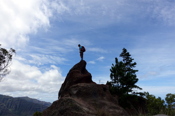
Back in the Waianae Mountains. Joining me on today’s trek were Gen and Jose. Others were doing the Spartan race this weekend. We had our own Spartan race in the mountains today.
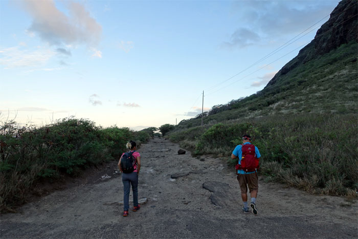
We arrived early to beat the rush hour hiker traffic.
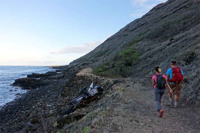
Where old trucks go off the railroad tracks to die.
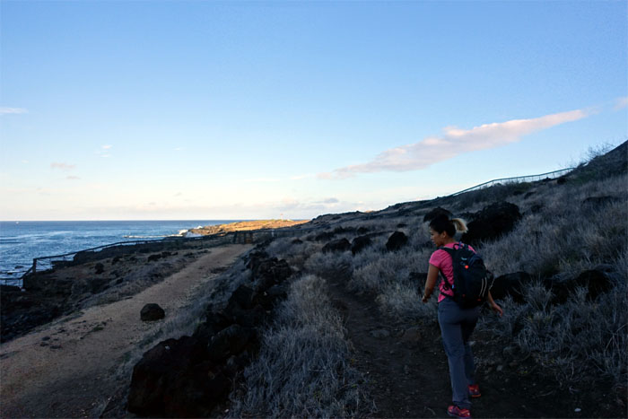
We skirted the fence, that protects the fauna and flora populating one of the last sand dune ecosystems in the islands, to the base of the mountain.
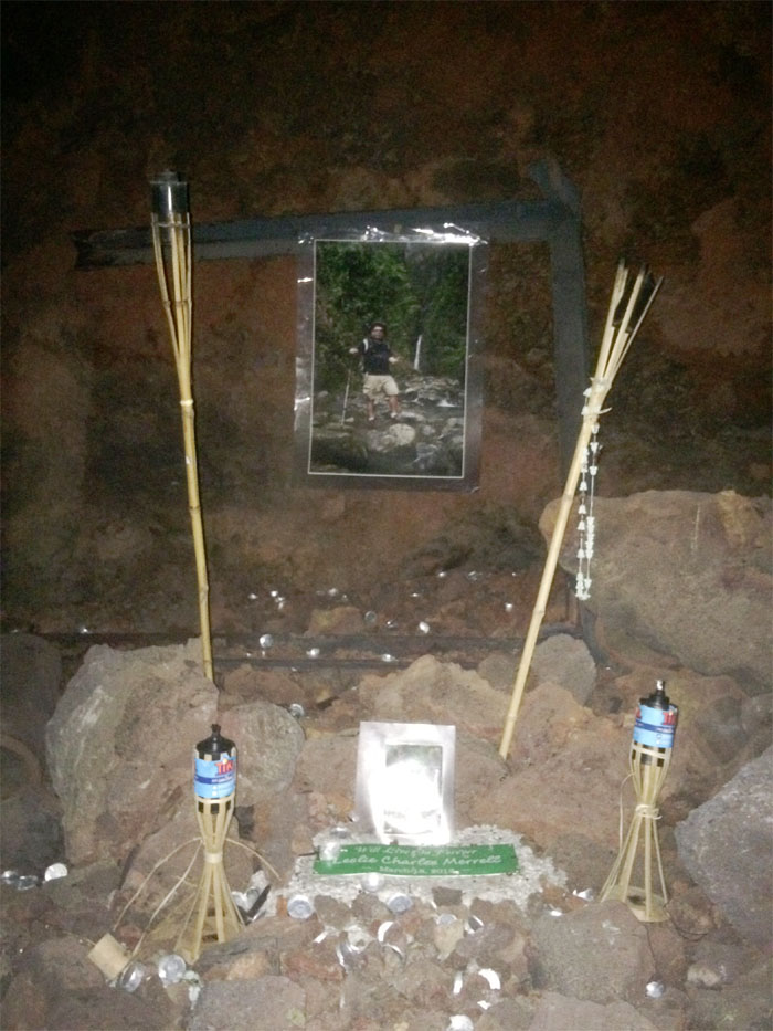
I hopped into a somewhat obscure cave at the base, that is home to a memorial for Les Merrell, a well known hiker who unfortunately perished on Bear Claw several years ago. The heat and humidity dictated a short stay as we still had a long day ahead of us. A very long day.
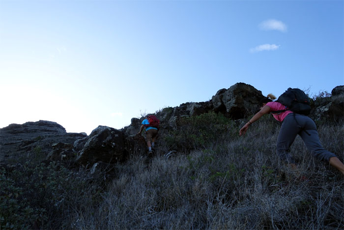
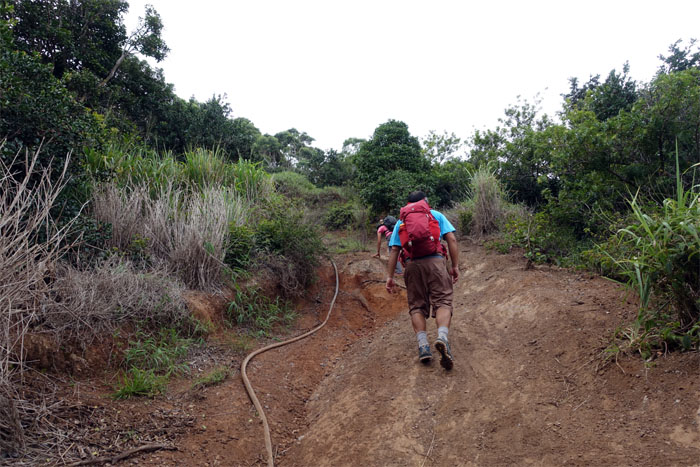
Jose and Gen climbing up the rocky ascent sparsely covered with dry shrubs.
Don’t fall in the hole.
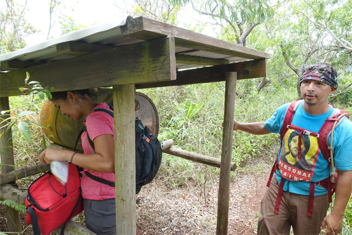
Enjoying the shade while it lasted.
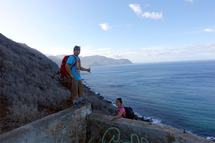
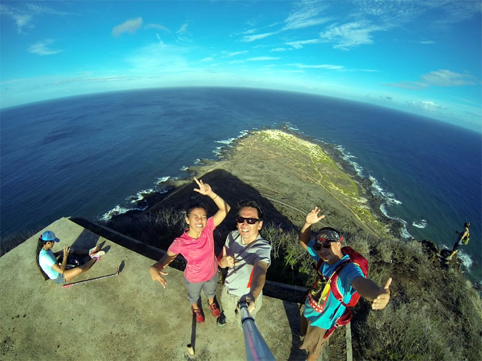
Group photo left to right: Gen, myself and Jose. Somebody forgot their sunglasses.
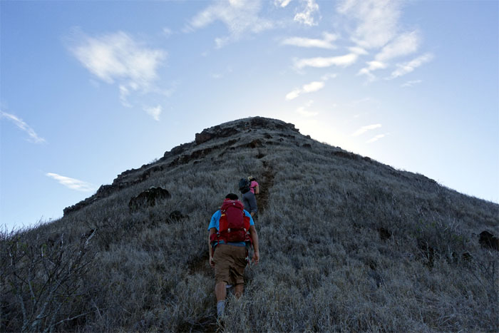
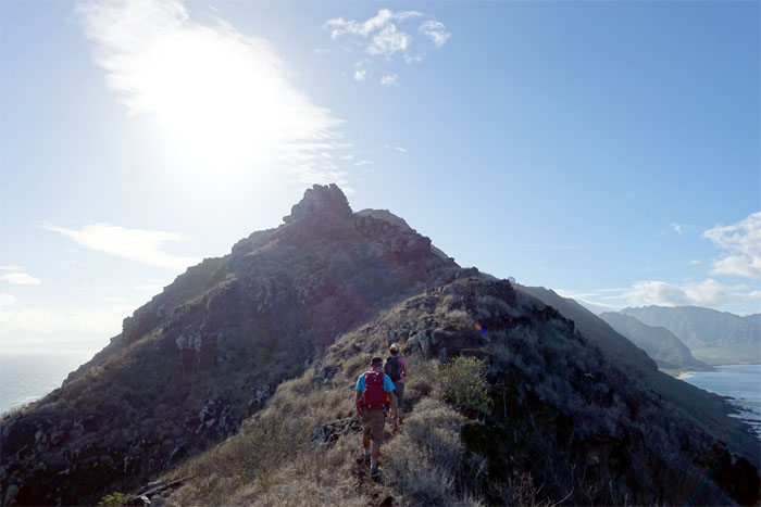
Hiking on the sunny exposed ridge.
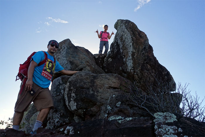
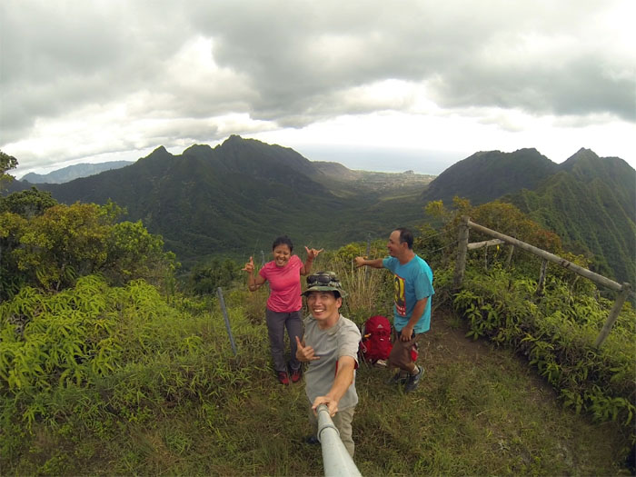
No shaka and double shaka.
Click here for the larger image. Photo by Jose Luis Delaki.
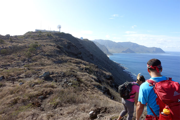
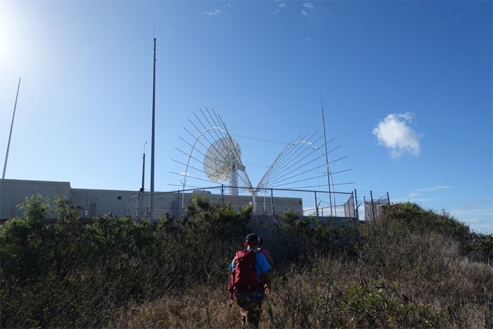
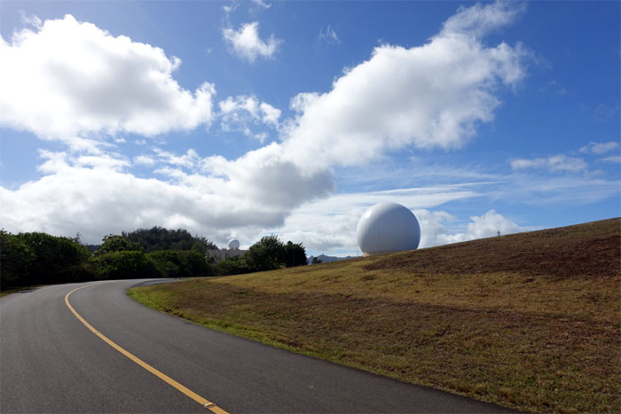
Approaching the Kaena Point Tracking Station.
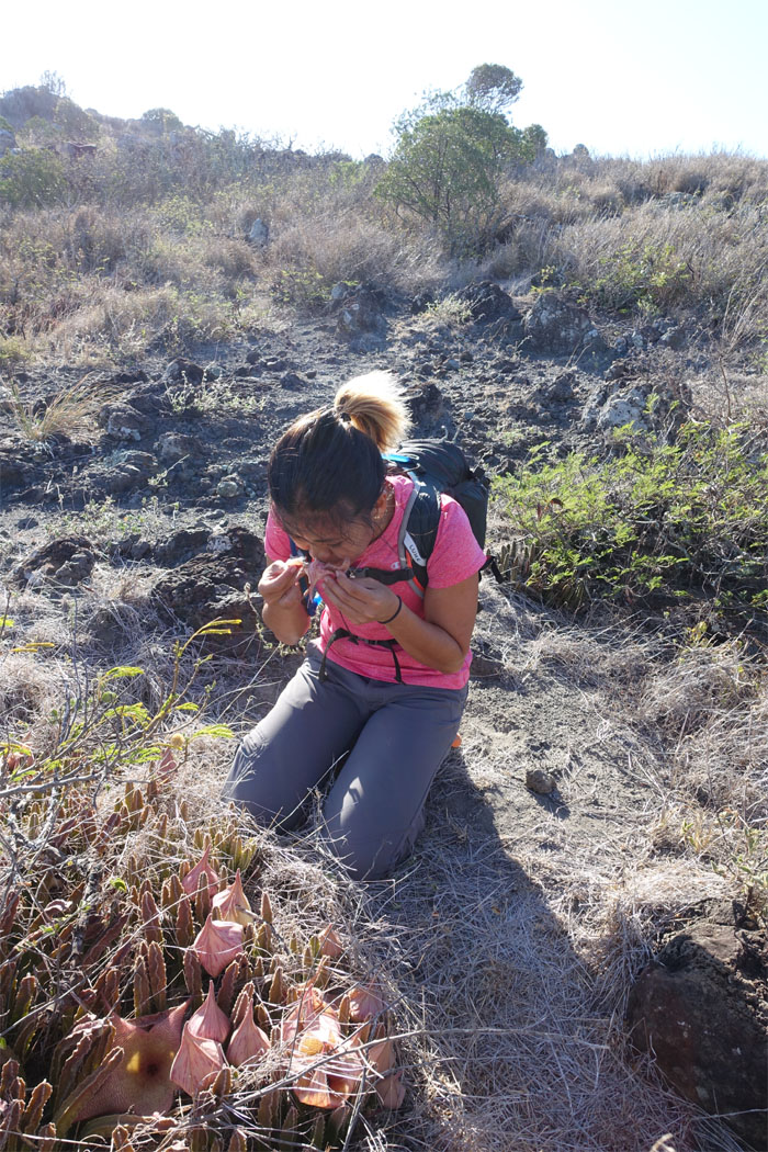
Nothing like the smell of rotting flesh to start off your hike. Inhale deeply.
Sorry, no tours today.
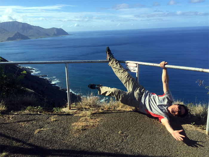
I’ve fallen and I can’t get up. Photo by Jose Luis Delaki
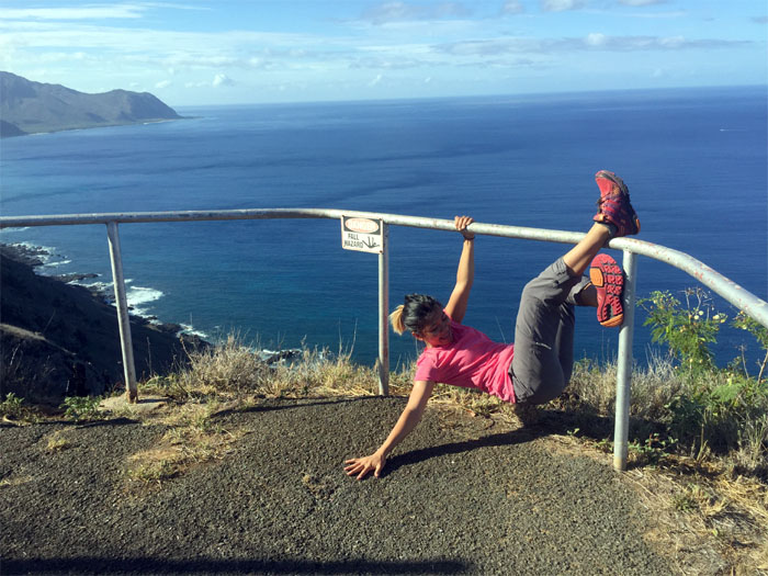
Let’s try again, shall we? Photo by Jose Luis Delaki
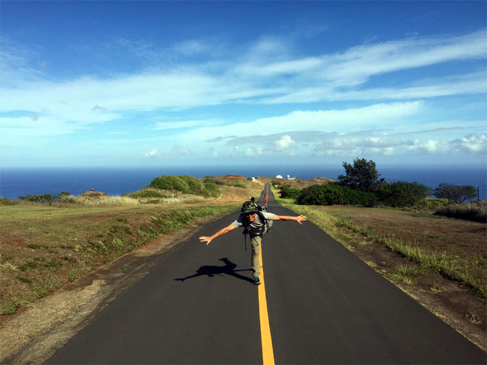
Just out for a Saturday walk. No jumping in the bushes today.
Tracking space objects since 1959. Photo by Jose Luis Delaki
I am not drunk. Photo by Jose Luis Delaki
We had no desire to catch the Yokohama Express, so we rang the bell and got off the beaten path.
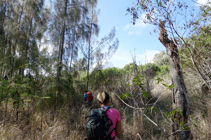
Enjoying the back country of the North Shore.
The coast is clear. Pays to wear a camouflage boonie hat. Photo by Genesaret Balladares.
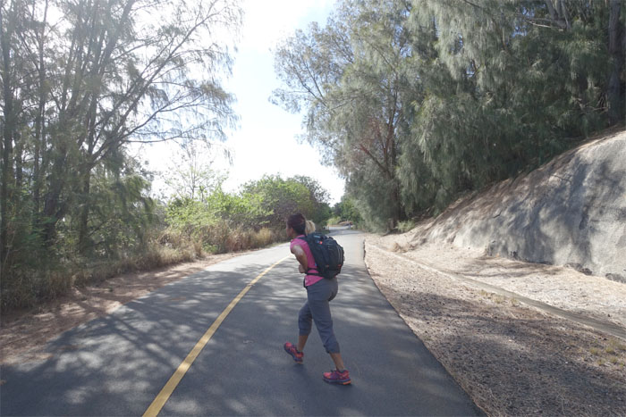
We popped back on the road and checked for traffic before continuing our hike.
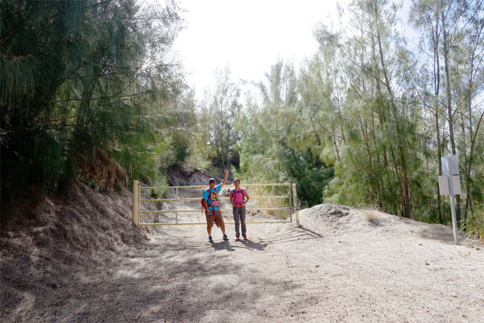
Waiting for somebody to open the gate. Got permit?
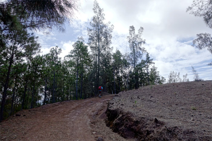
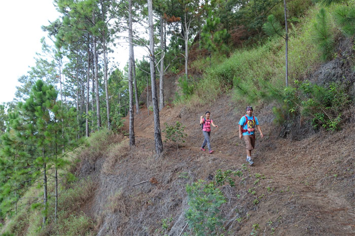
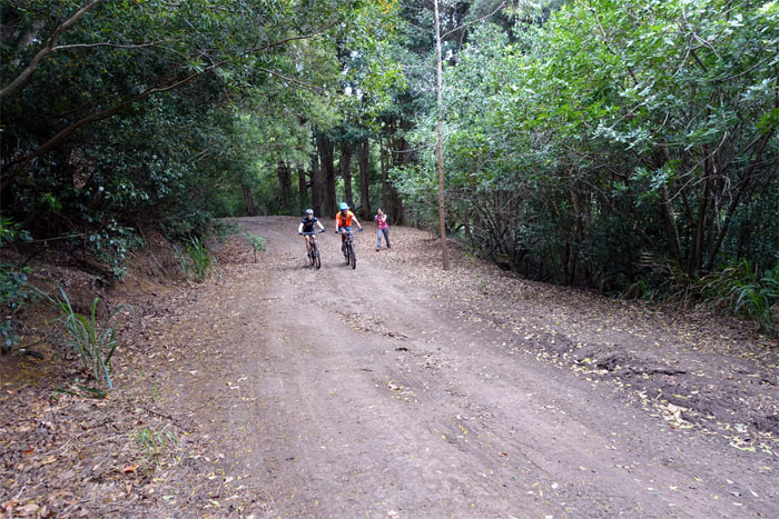
Jose going up the expansive tree lined road.
Just have to find a pig now. A very, very small one.
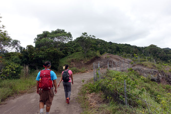
The wide road eventually narrowed to a footpath that contoured along the Makua Valley.
Gen enjoying the views. Time to move along now. Photo by Jose Luis Delaki
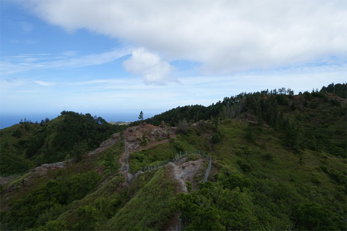
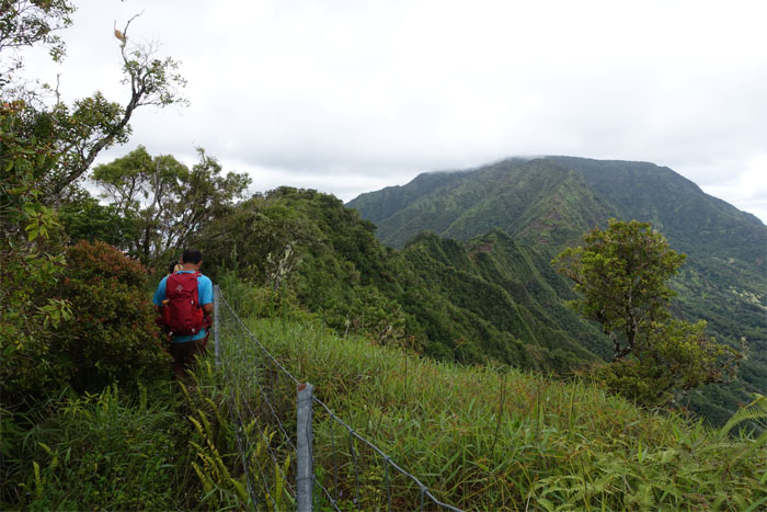
The fence are becoming the invasive species, invading the mountains to control the invasive species. Irony.
Leaving Kaena Point and her golf balls behind us.
Yield to hikers or was that the other way around?
We soon left the main trail and headed back up to regain the fence line.
We briefly left the fence line to make our way up the hill.
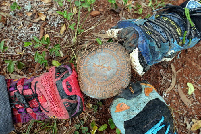
All shoes on the geodisc marker. Hey, no mud today. We must be on the West side.
Gen looking through the supply of condoms and KY jelly. What goes on up here in these mountains? Get a cabin.
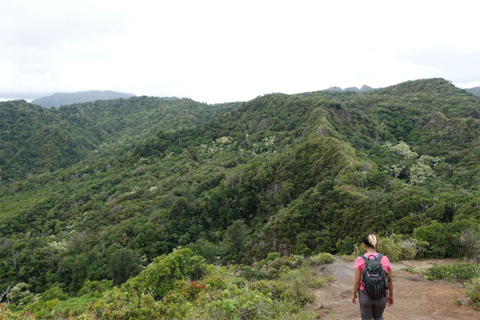
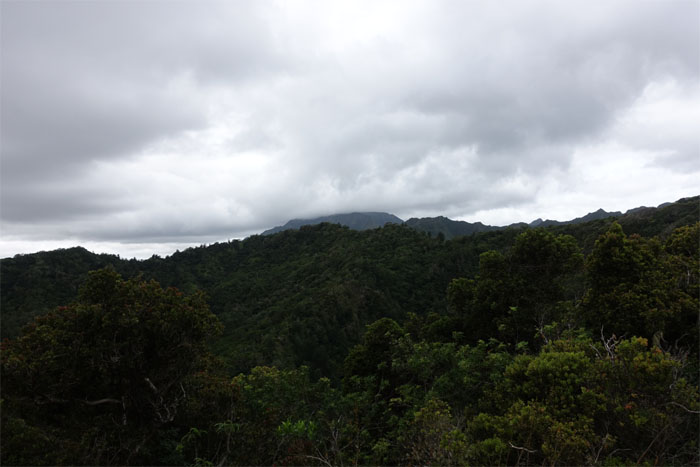
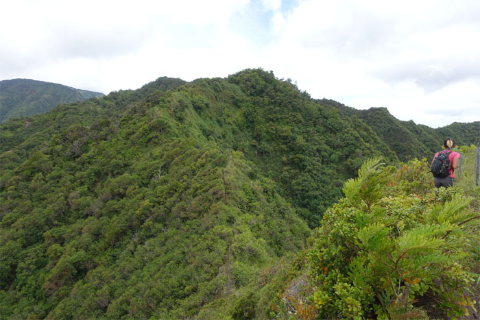
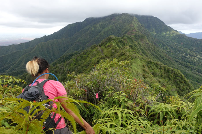
No signs of civilization as far as the eye can see.
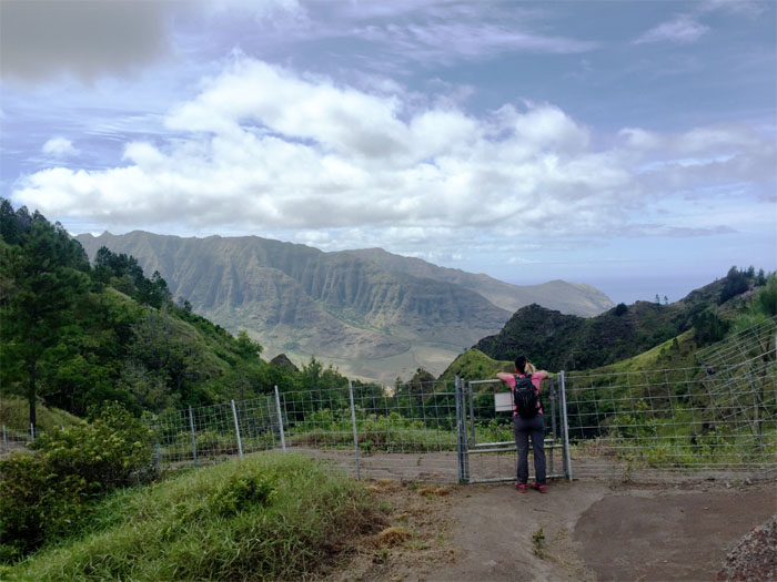
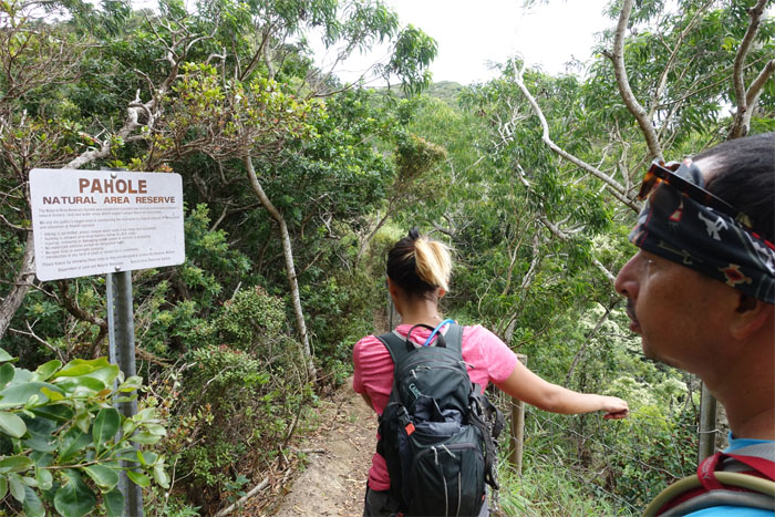
Entering the fenced area that protects 658 acres of native fauna and flora from feral pigs, rats and other invasive species.
Somebody started saying that. Wasn’t going to be the last time.
Not all of us have 20/5 vision.
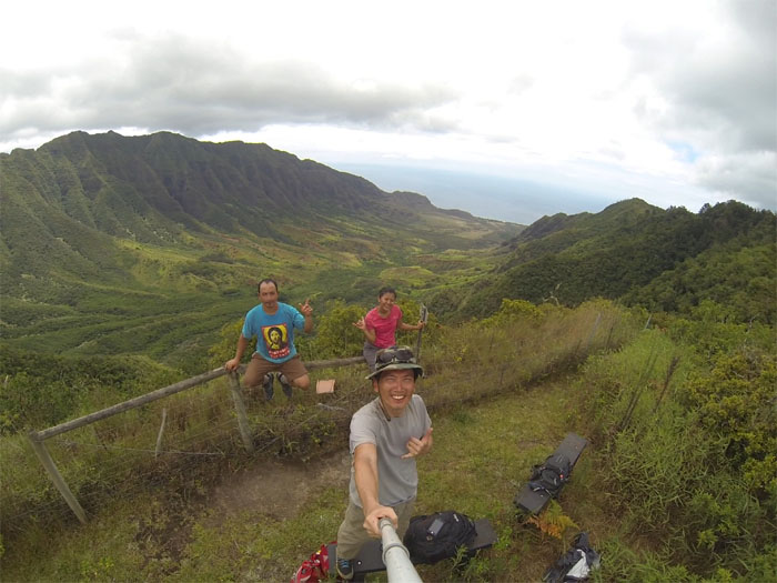
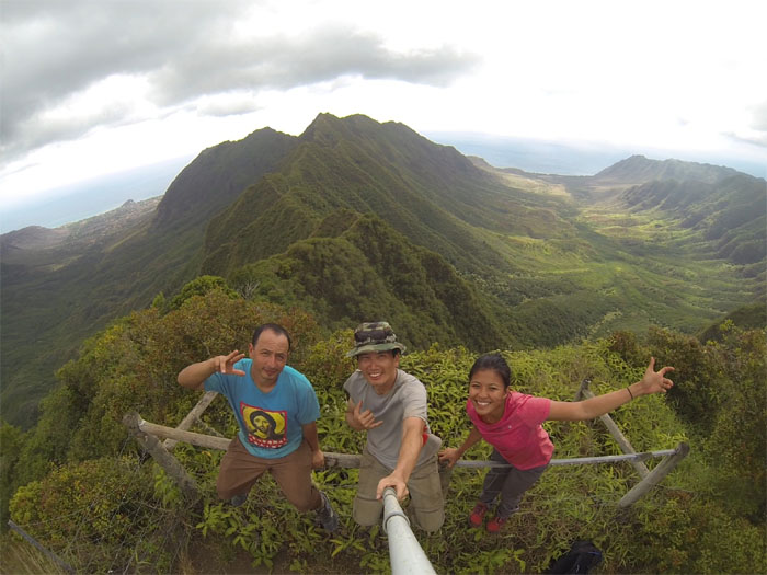
Group photo with Makua Valley in the background.
The broken record kept on playing.
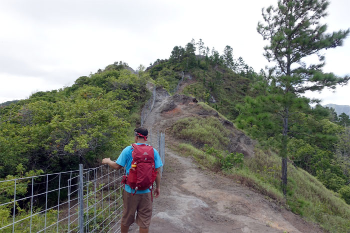
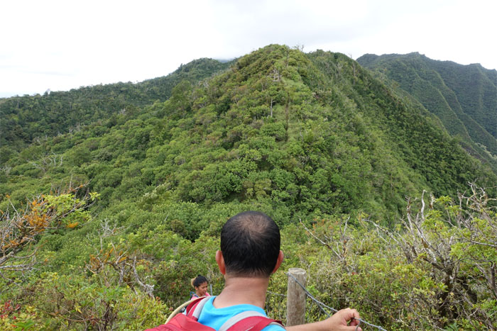
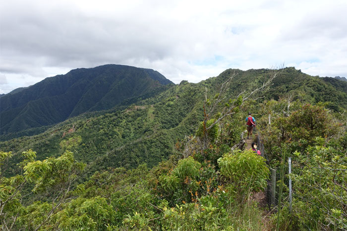
The fence was an unsightly blight on the terrain, but it provided useful handholds and as an obvious navigational aid.
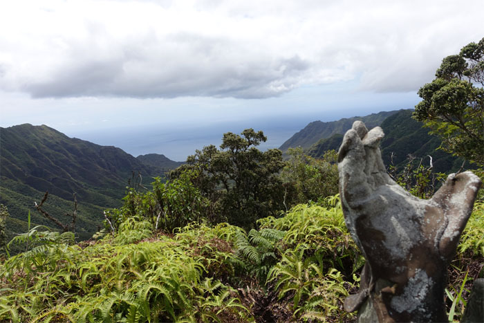
Michael Jackson has left the mountains. The WST answer to the KST boot.
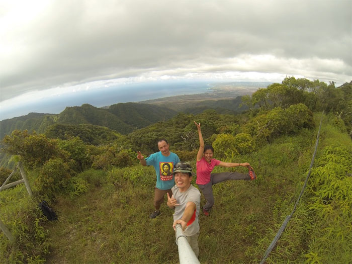
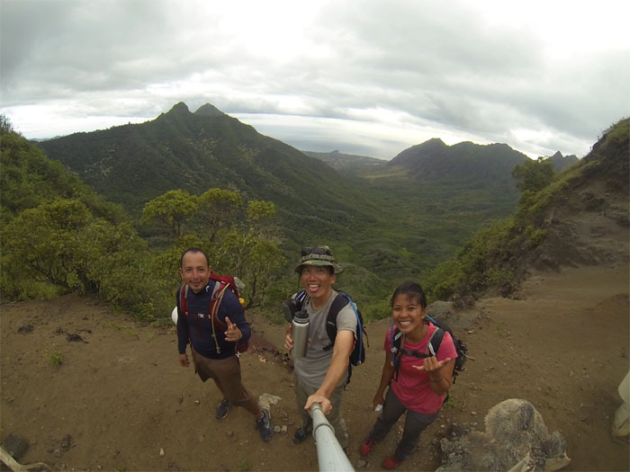
Group shot with Makaha Valley in the background.
Looking towards Mokuleia Valley.
Another view of Makua Valley.
We resumed our hike after a short break and lunch by following the fence towards Mount Ka’ala. Almost there.
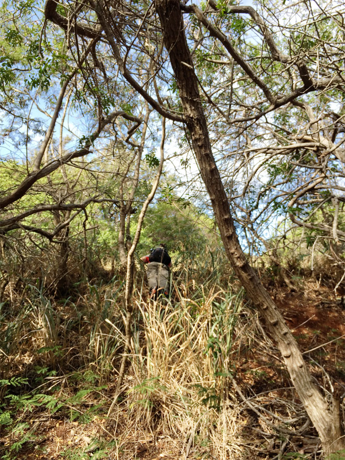
The fence was soon replaced with a wide swath of thick uluhe and overgrowth. Bring back the fence.
We eventually dropped down from the ridge onto Mount Ka’ala Road. Photo by Genesaret Balladares.
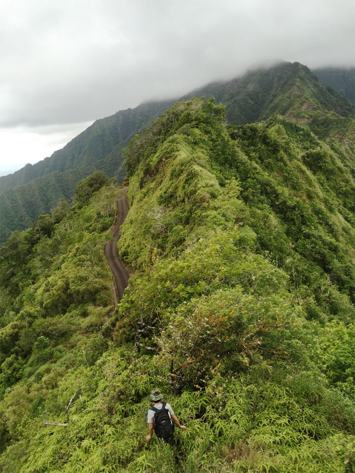
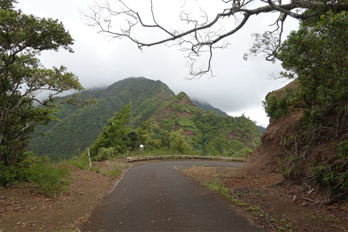
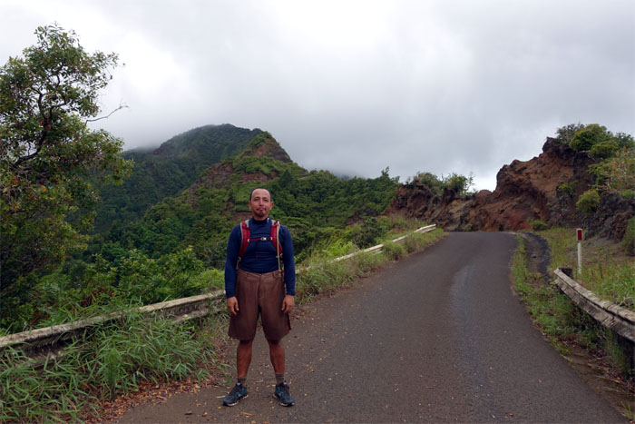
The long boring road. Hard on our feet. The only saving grace was the mountain views. While it lasted.
We ran into a fellow hiker on the road. He looked somewhat familiar.
Running out of liquid nourishment. Time to share. Thanks Gen.
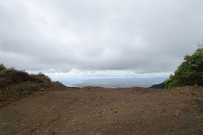
Looking out at the Kawailoa Wind Farm before the cloud deck dropped.
Gen walking up the road towards one of the smaller relay stations. Photo by Jose Luis Delaki.
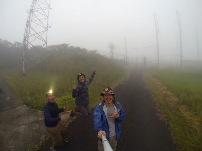
We are here!
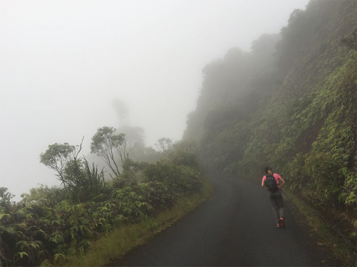
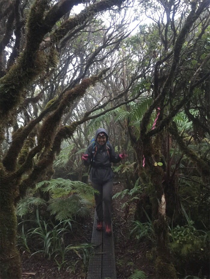
Walking through the bog under twilight cloudy conditions. Photo by Jose Luis Delaki.
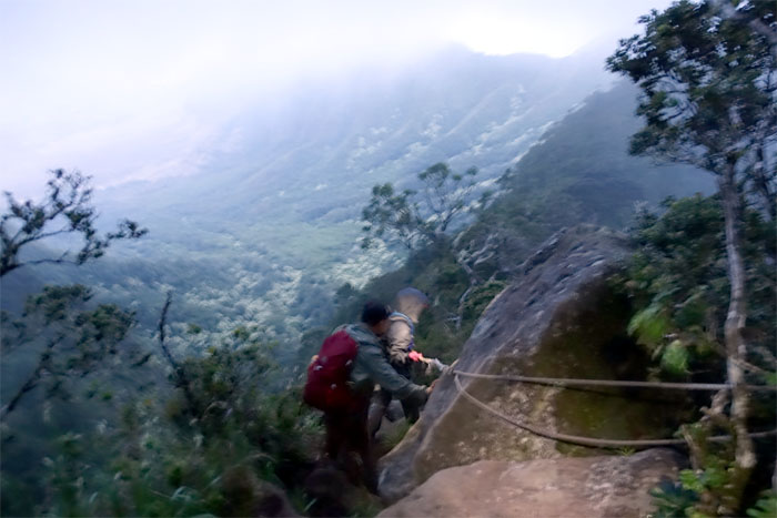
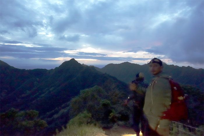
Racing to beat the sun.
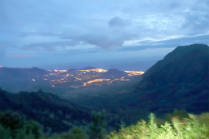
Twinkling lights of Waianae Valley.
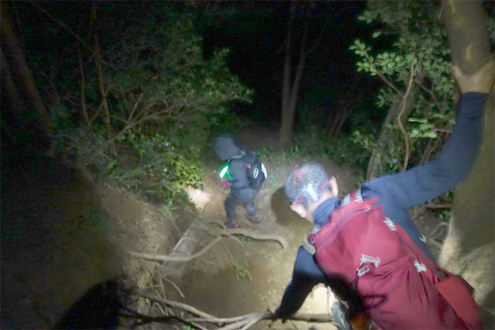
Enjoying the sunset as we made our way down to Three Poles junction.
Coming down from the highest mountain on the island.
When we arrived at the paved road, we sprawled down to enjoy the night skies and …
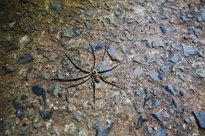
…then we realized we were sharing the road with all these critters.
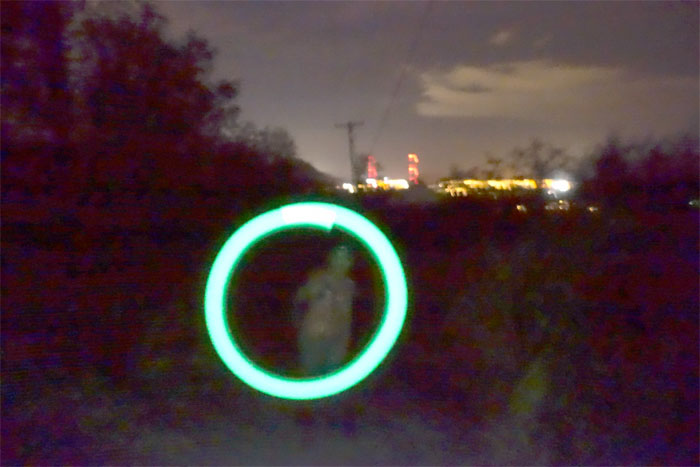
Twerking the glow light fantastic.
Now all we needed was a spooky story and roasted marshmallows to end our hike. Photo by Jose Luis Delaki.
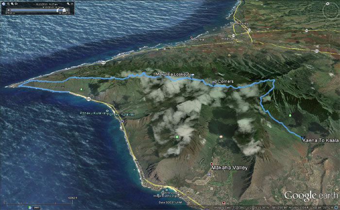
The scenic and very long hike covered 18.76 miles, made bearable by good company. Post hike meal at Jack in the Box. It was the closest. 24/7 breakfast. We found out that a chronic had helped himself to some of Gen’s gas. Hope he got a severe case of indigestion.




{ 4 comments… read them below or add one }
OMG! I love love this hike. Miss you. Suckah!
Gotta finish the last section.
Yup, that was a fun and long hike and we all know your predilection with sucking things. Time is ticking for you to finish the last section. Happy Birthday to my fellow weirdo!
Very nice trail hike
Aloha Robin,
Yup, it was a very nice and scenic hike. You should hit it up if you haven’t, but be prepared for a long day. Thanks for visiting.
Mahalo