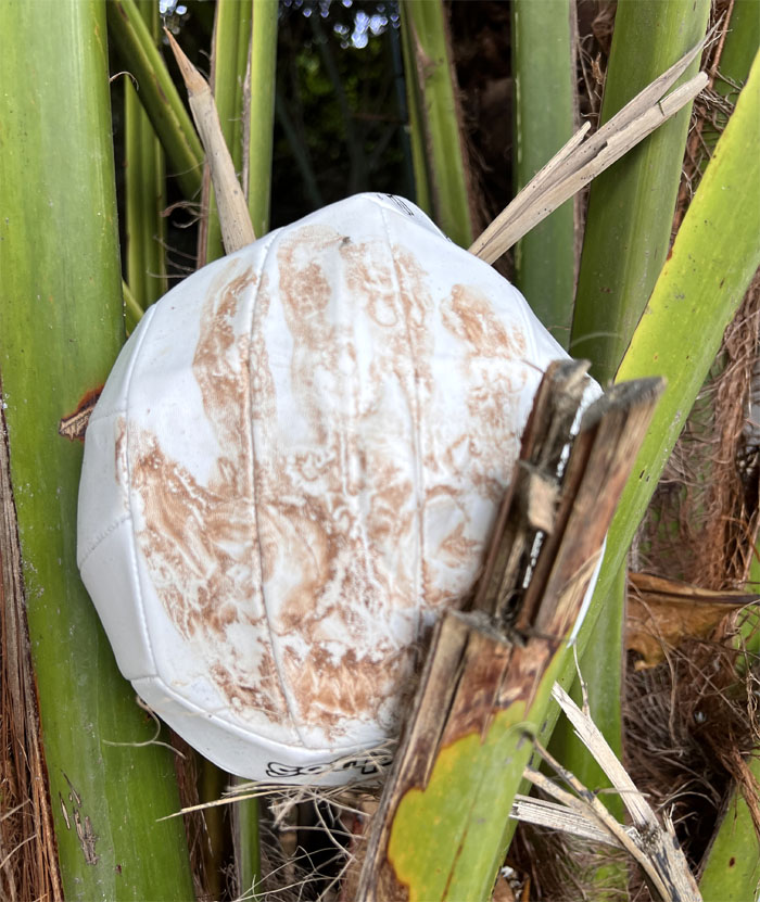
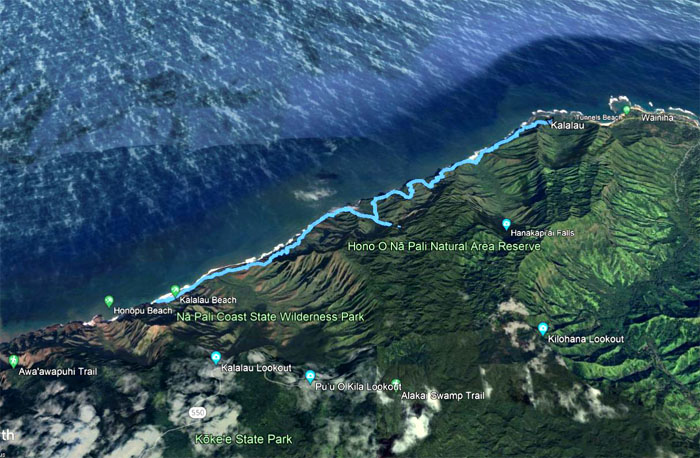
Flew over to the oldest island in the inhabited Hawaiian chain to hike what many consider to be one of the most scenic and remote trails in the world. They are not mistaken.
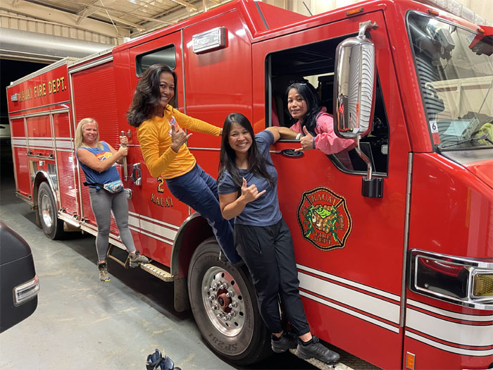
Thanks to Scott for picking us up and putting us up at his place for the night. Some of us got pretty close to realizing their childhood dreams. Others just had to settle for a KFC dinner.
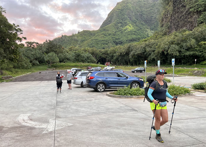
Randy picked us up at the crack of dawn to shuttle us to the end of the road. Running commentary was welcomed. Permits were cursory checked upon our arrival.
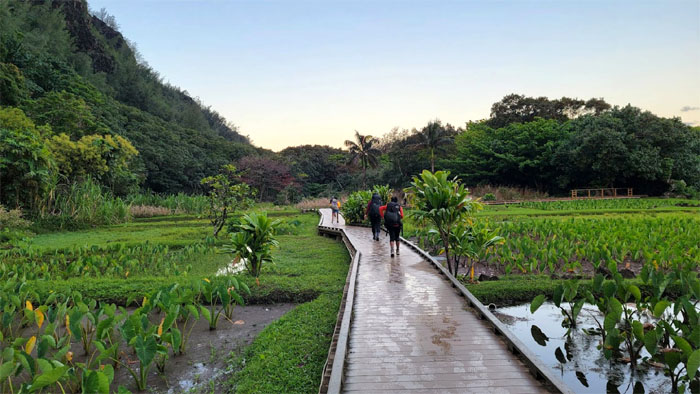
Walking on the boardwalk that sliced through the taro fields and clucking chickens.
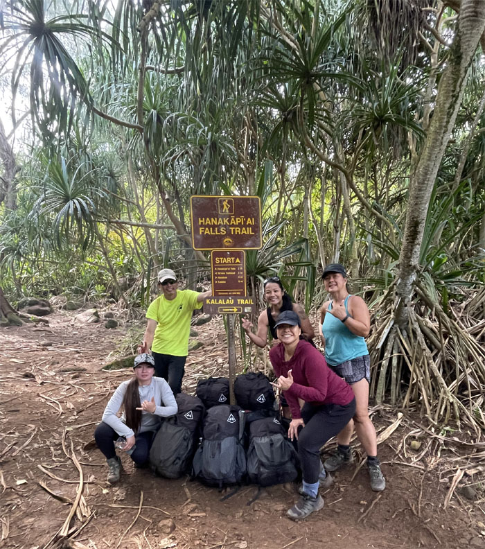
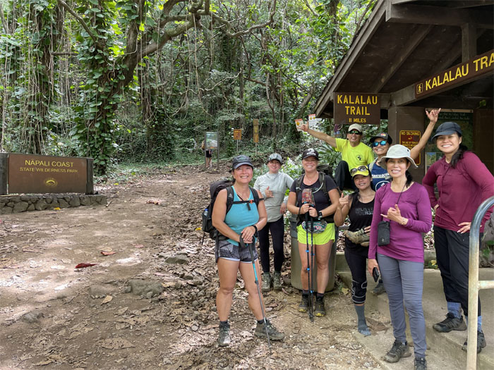
Group photo left to right: Roseann, Aida, myself, Quan, Lilyn, Marilyn, Allison and Tessa. One gender group was heavily over represented.
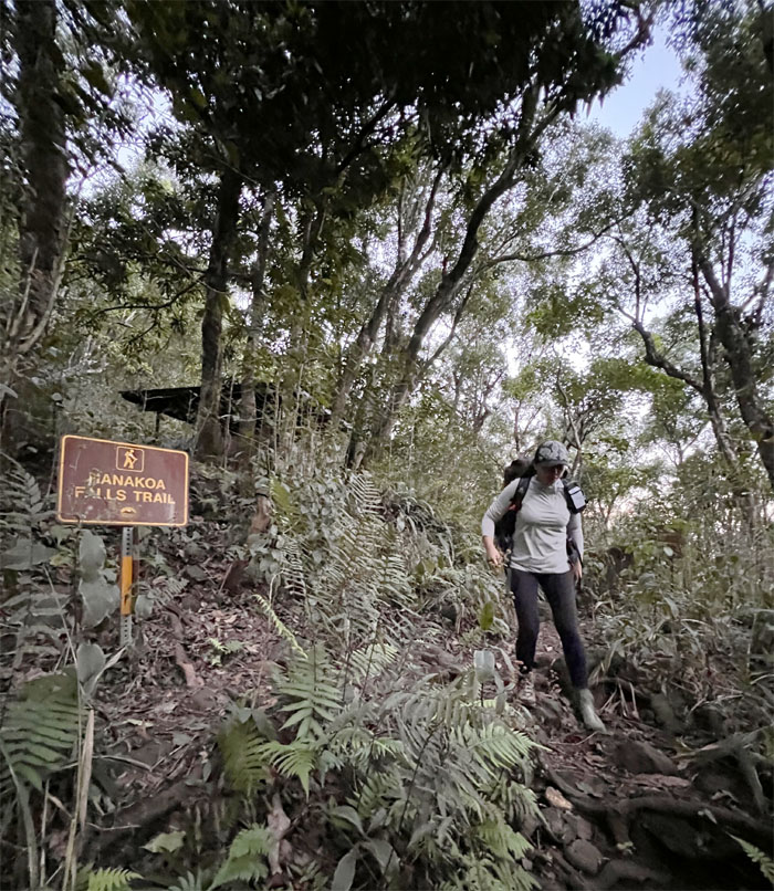
Pushing off on the only land access to the Na Pali Coast.
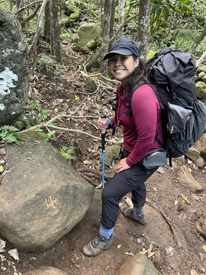
Some people like to hike with hiking sticks while others prefer not to tie their shoes on the trail. To each their own.
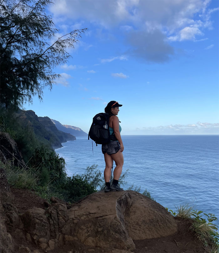
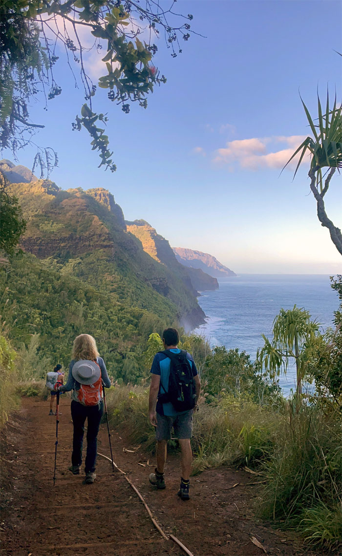
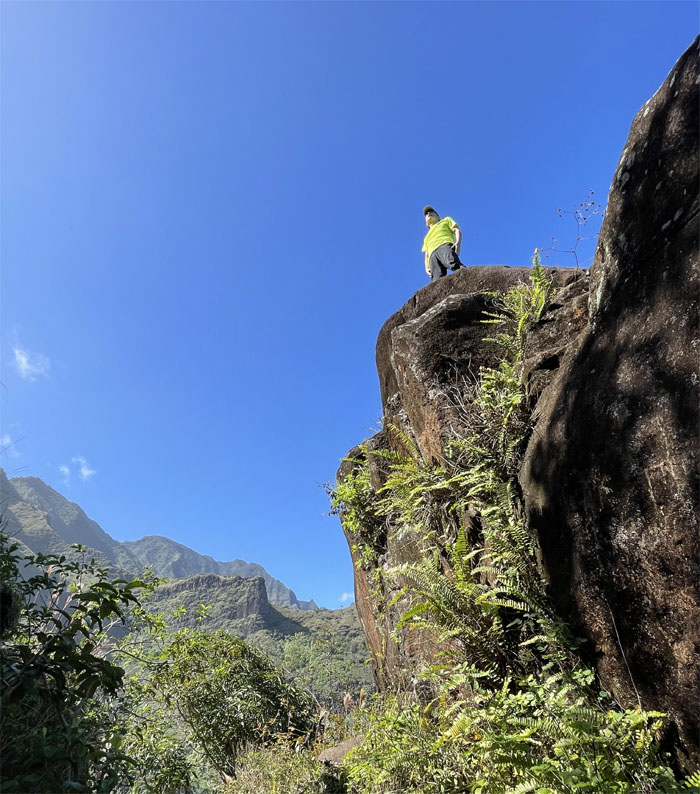
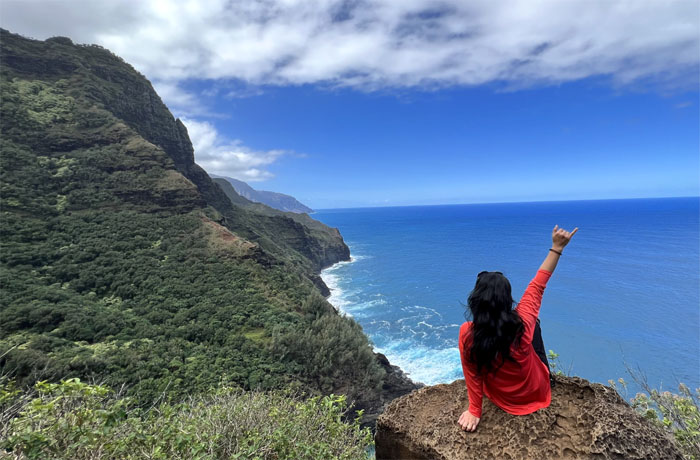
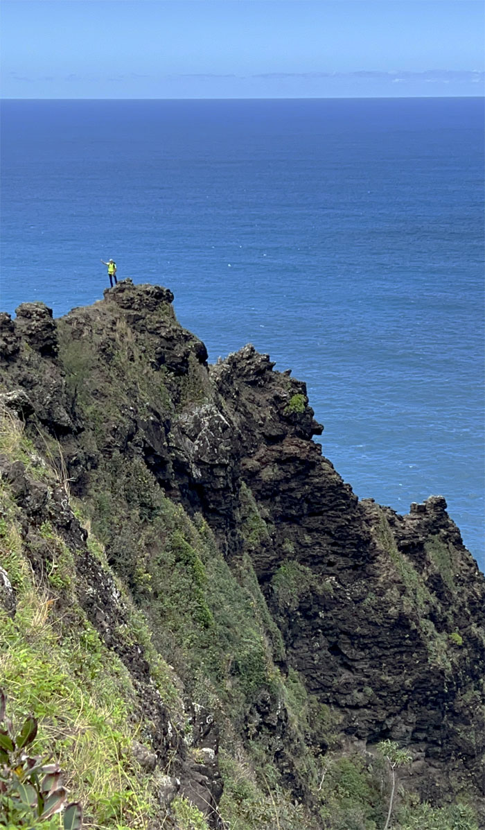
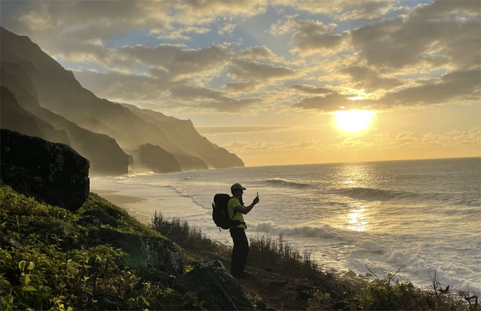
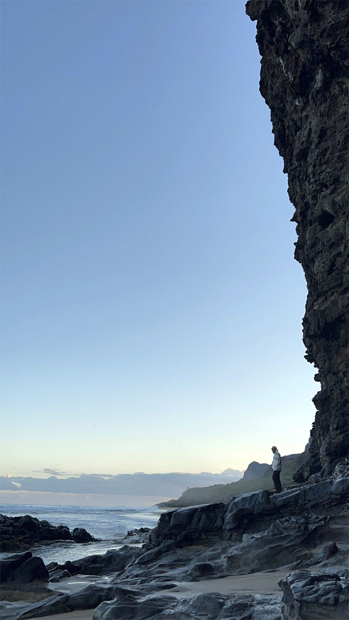
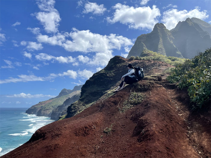
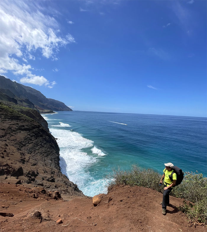
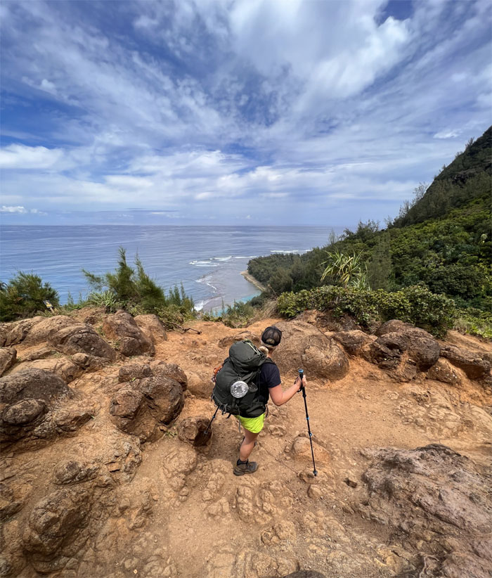
Quan standing on the scenic rock with the rugged coastline ahead of us.
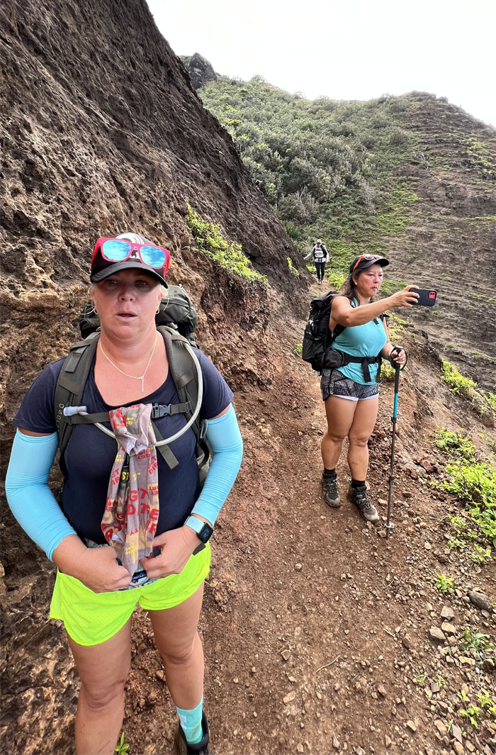
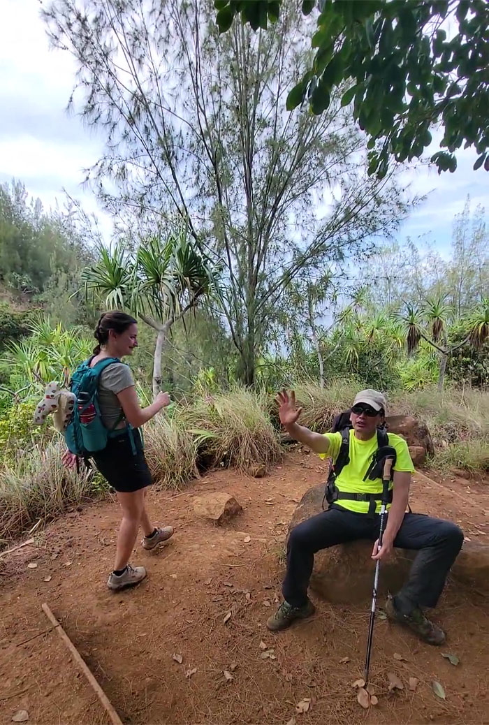
Somebody looked befuddled or puzzled.
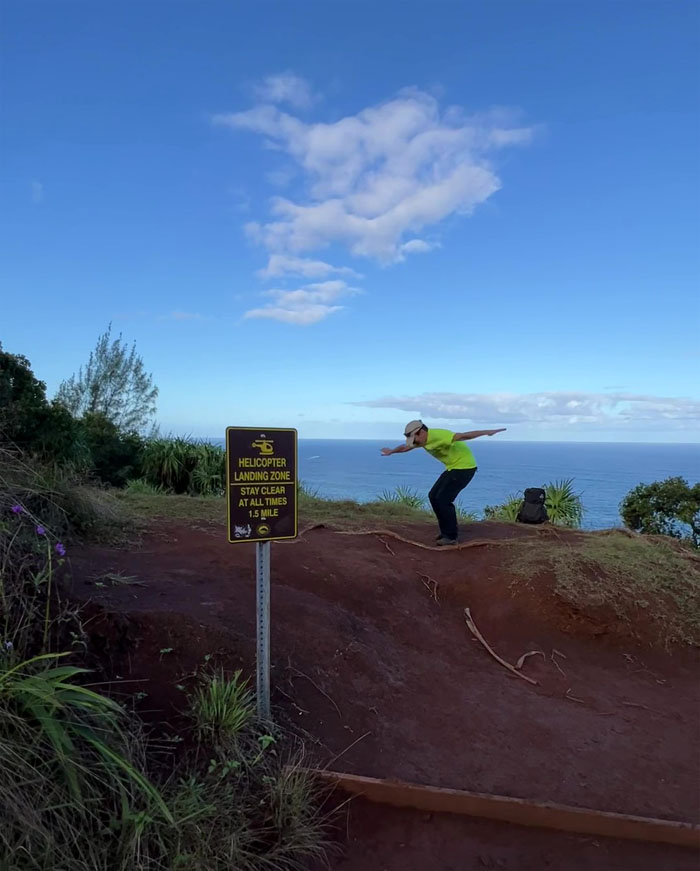
One should keep at least 100′ distance from a helicopter landing and even more from a person pretending to be a helicopter landing.
Dropping down to sea level as we approached the first of two beaches on the trail.
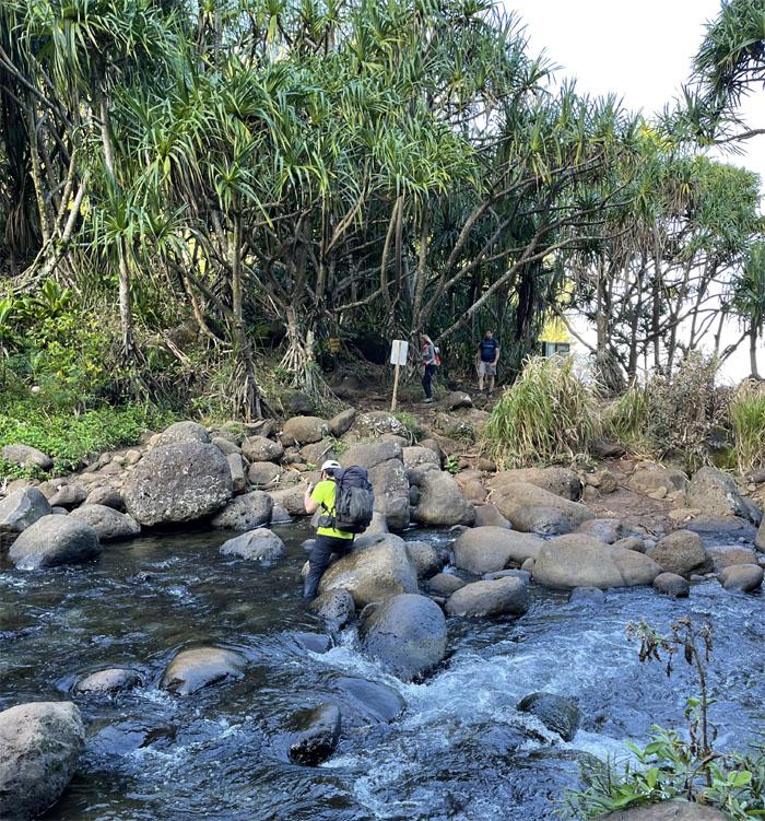
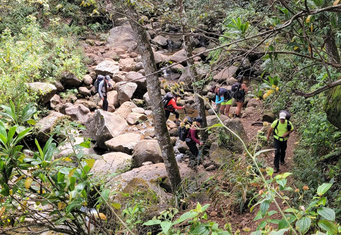
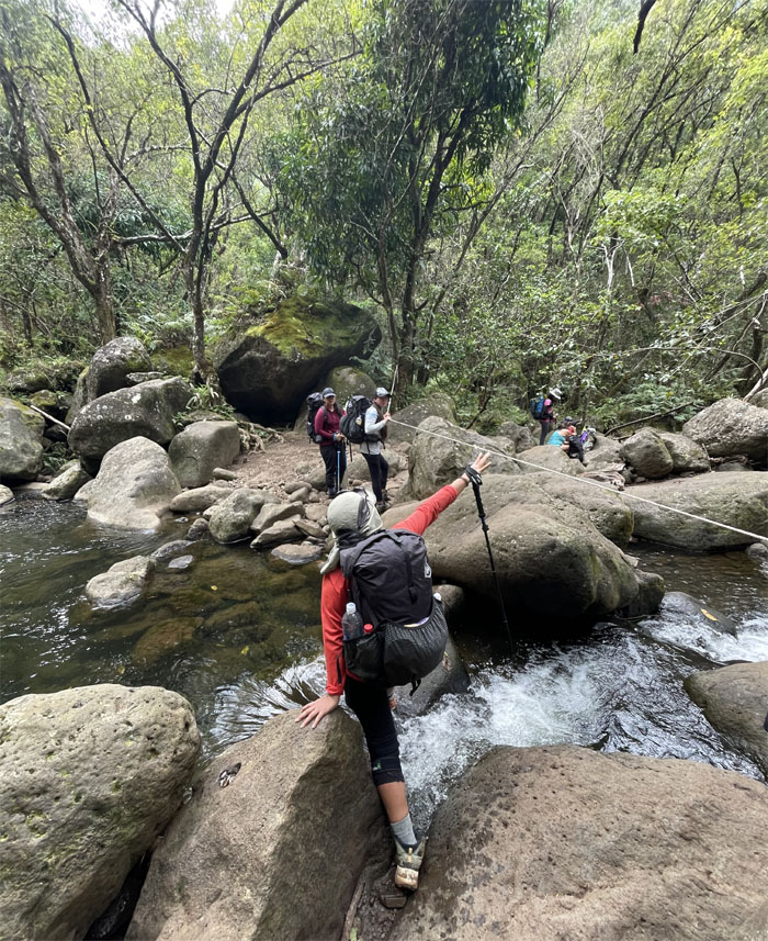
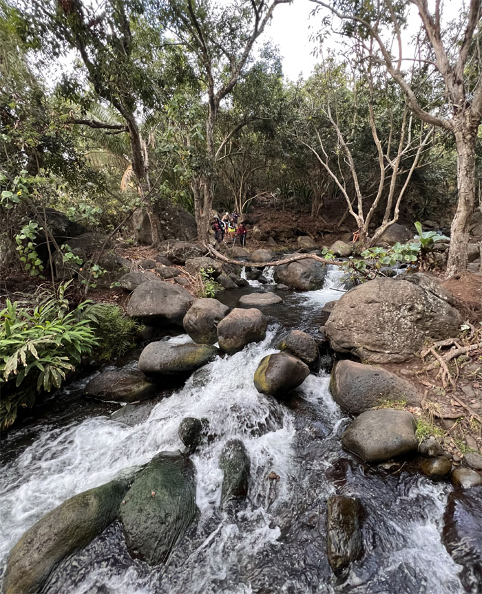
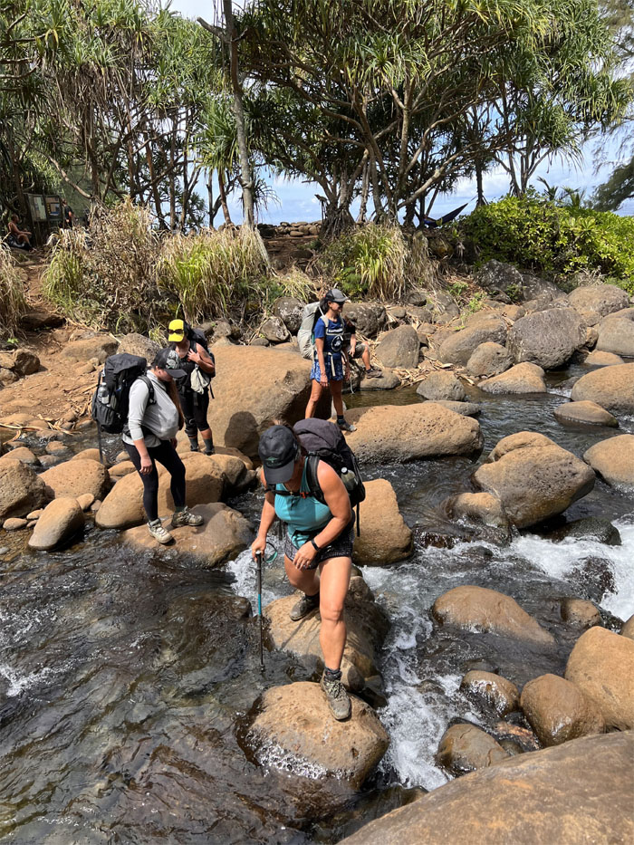
Crossing the stream which can flash flood in the blink of an eye at the mile two mark. Talks of bridging the gap has supposedly gained traction and is supposed to be lurching ahead from 2013.
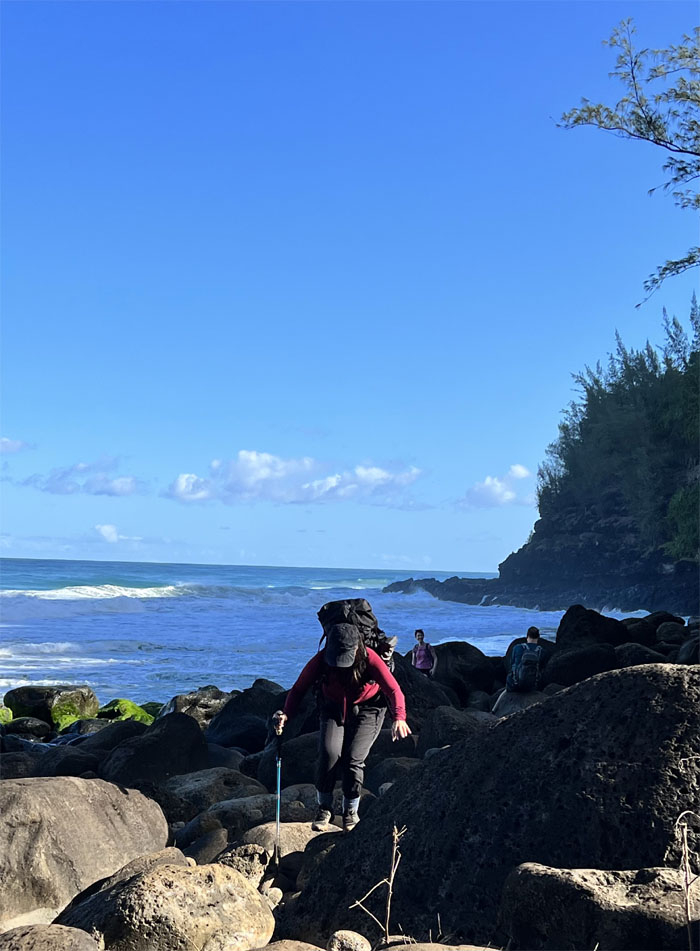
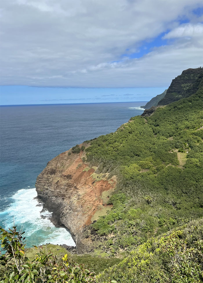
Leaving the heavy surf behind which had erased the beach and was crashing against the rocks.
To falls or not to falls? To bathroom or not to bathroom?
We gained enough elevation to pass the tsunami water mark.
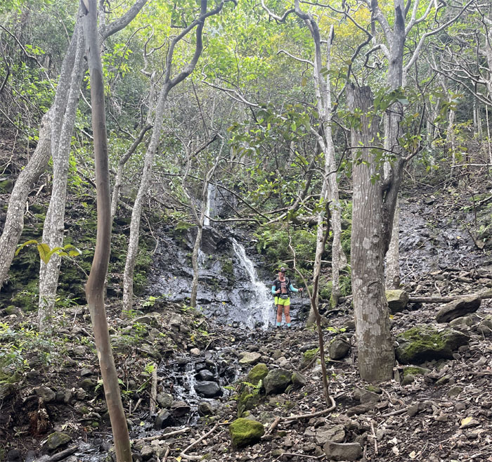
The poor mans version of weeping wall. Same island, different smell.
Only eight more miles left on the trail.
It’s always harder climbing down then getting up here.
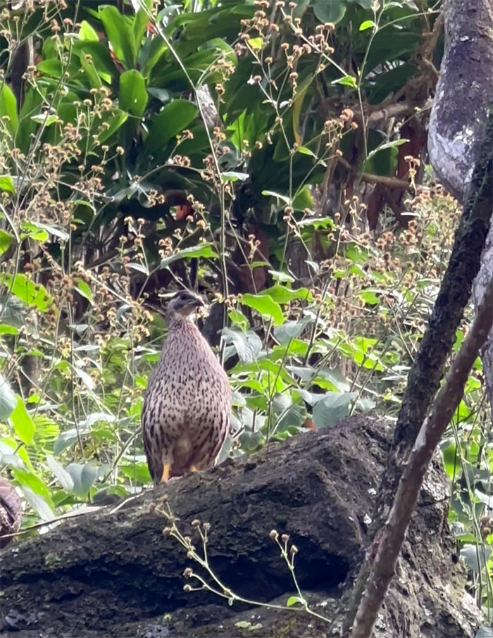
Surprisingly, we saw no chickens on this trail, despite them being found almost everywhere else on the island. There are however gamebirds such as this Erckel’s francolin introduced in 1957.
Hiking out of Hoolulu Valley.
Walking in the footsteps of the ancient Hawaiians that used this trail when Kalalau Valley used to be an active habitat for the ancient Hawaiians.
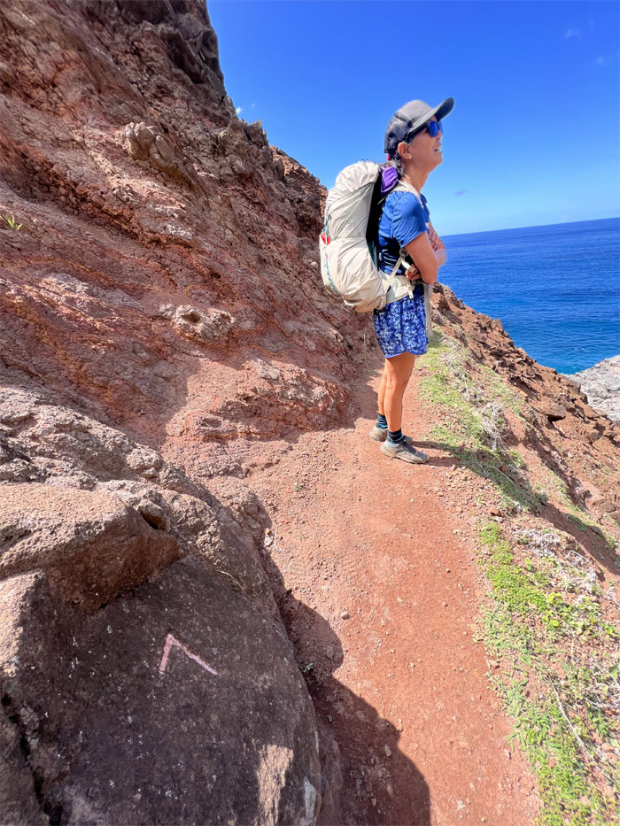
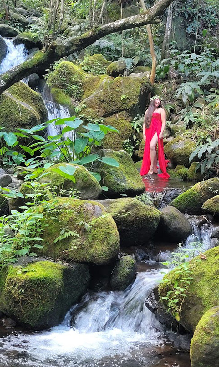
Tessa enjoying a scenic photo shoot while everybody waited their turn.
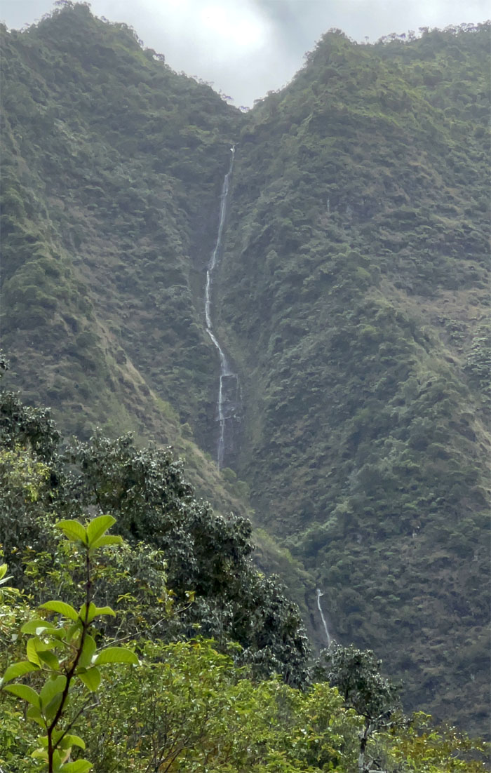
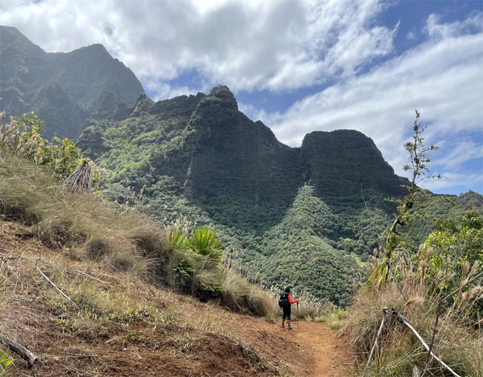
Looking into Waiahuakua Valley and the impressive waterfall plunging down the side of the mountain.
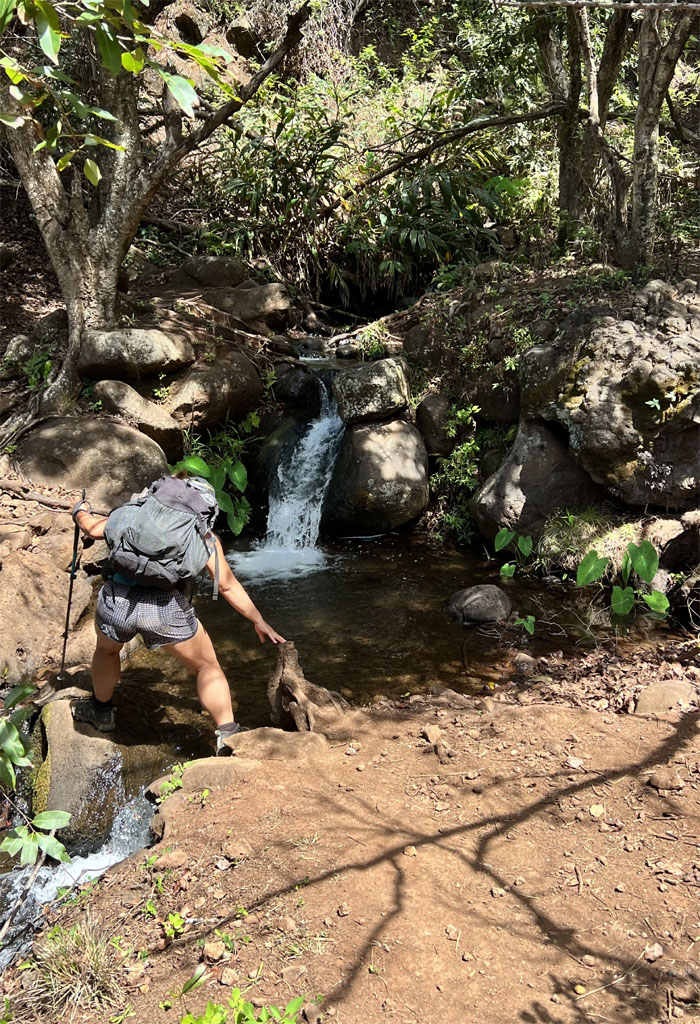
Filling up water at one of the numerous streams in one of the smaller hanging valleys.
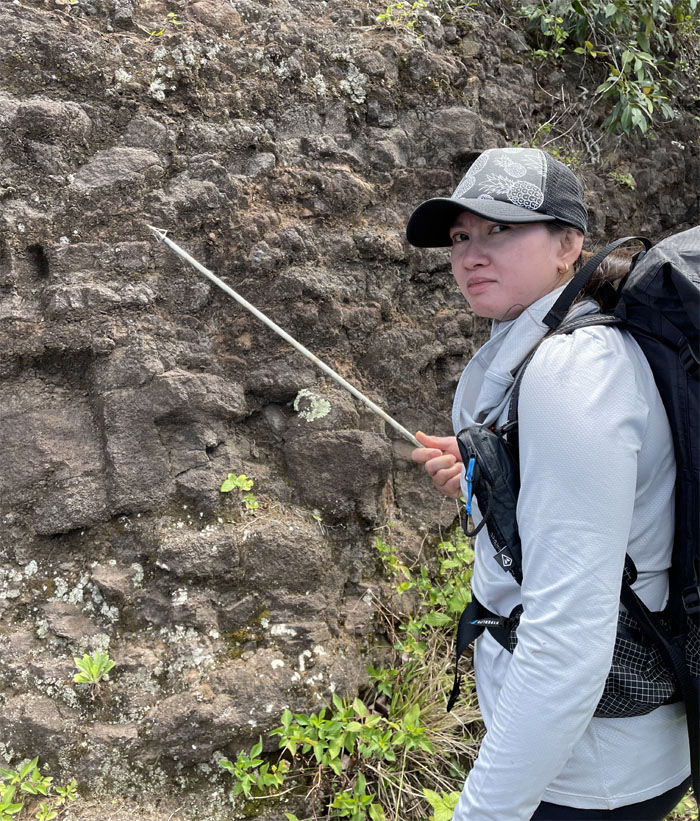
Roseann picked up a long shafted projectile for hunting wild game in case somebody ate all her Pad Thai with Chicken.
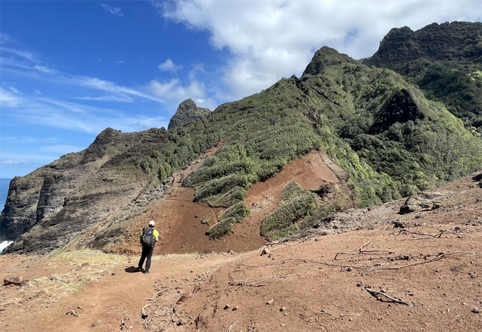
Checking out a spur ridge.
Around mile six, we entered the hanging valley.
Dropping down into one of the many wrinkled folds in the mountain.
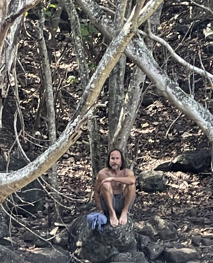
We ran across a whistleblower engineer who was getting away from it all. The characters you meet on the trail.
Somebody needed a little help from her friends.
Some of us refilled our water supply before leaving the valley.
Is this the part where I need to start singing?
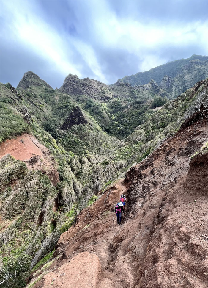
Going down the slippery slope.
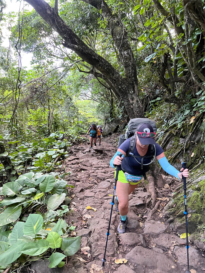
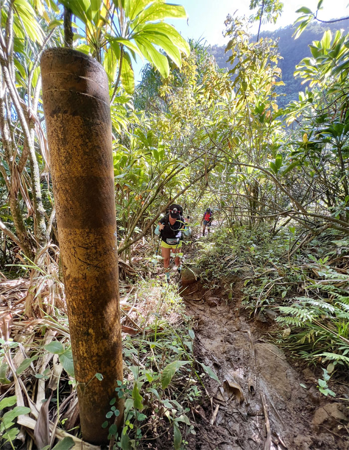
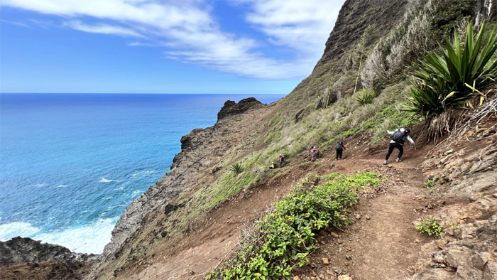
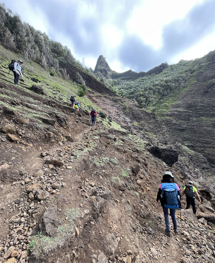
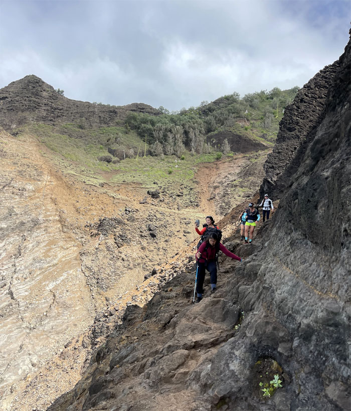
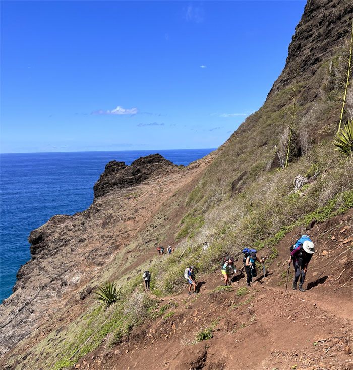
Hiking our way down the switchbacks while being mindful of the terrain underfoot that was made up of loose rocks and dirt.
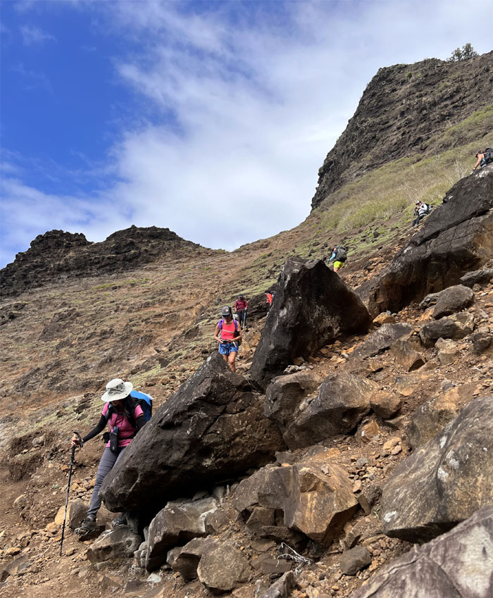
The group contouring their way around the jumbled pile of rocks.
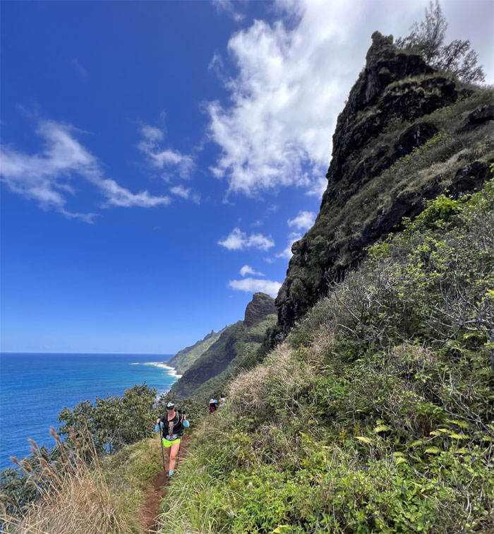
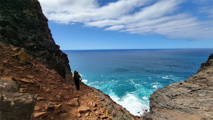
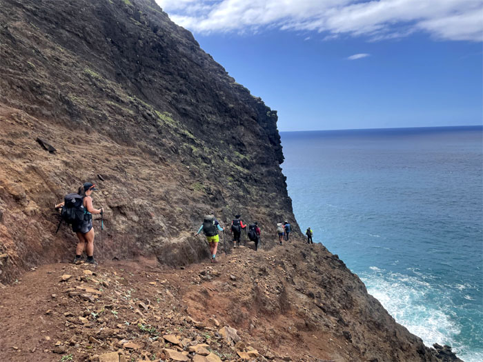
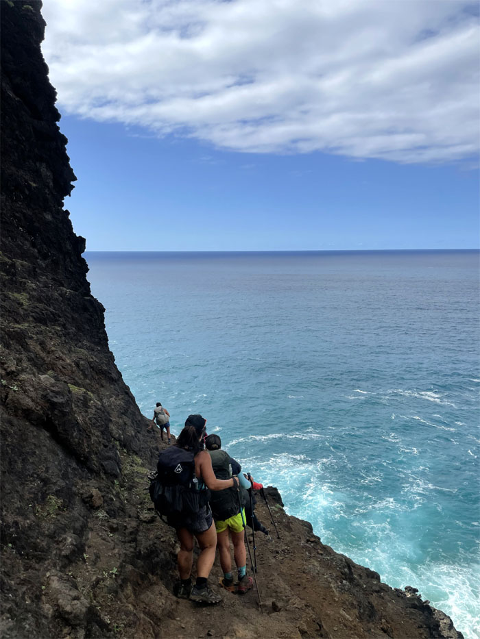
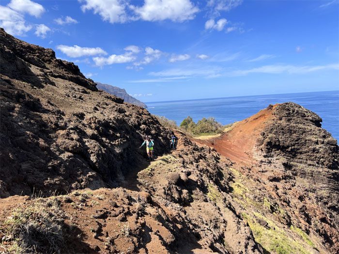
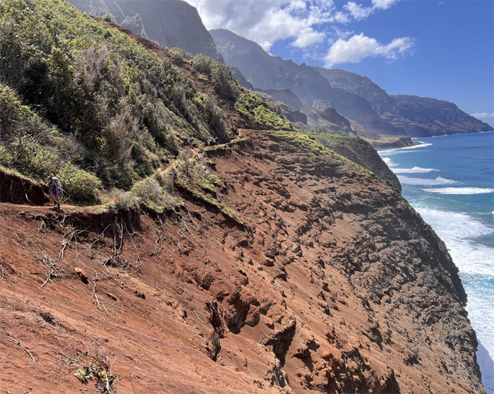
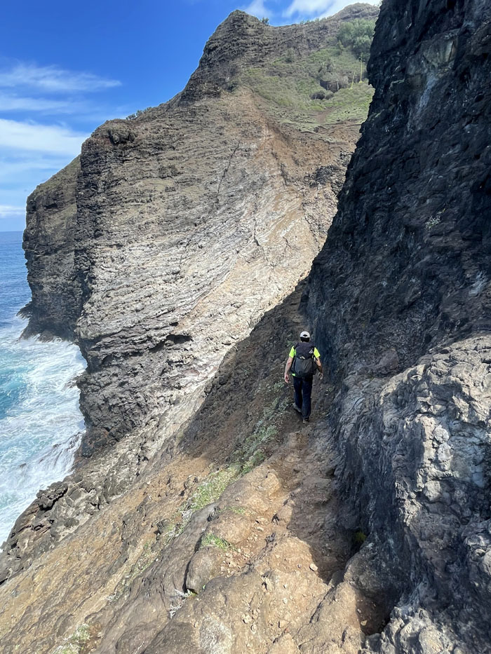
Let the singing commence! While much has been made of this particular stretch of trail that is characterized by an uneven narrow ledge dropping off to sheer cliffs, not one death has been attributed to this section. Most of the reported deaths on the trail have resulted from drowning. I’m not marginalizing the potential risk of the trail, just don’t always believe the hype, and believe in yourself.
Nobody validated the name of this section and everybody used bipedal locomotion to make it across.
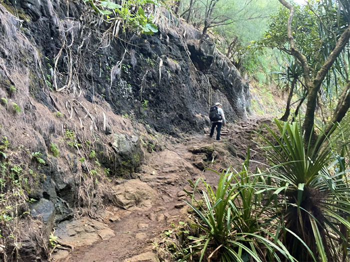
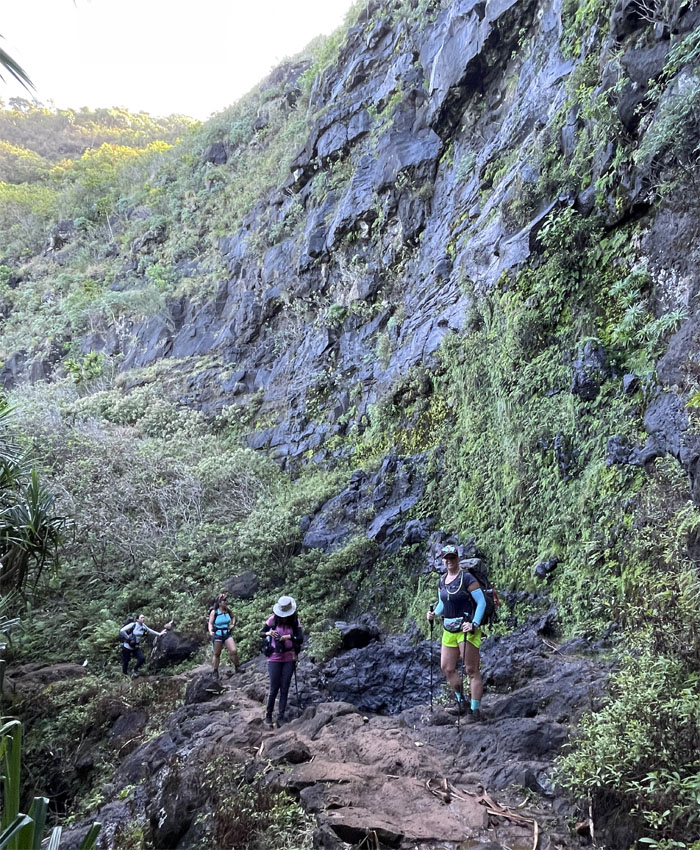
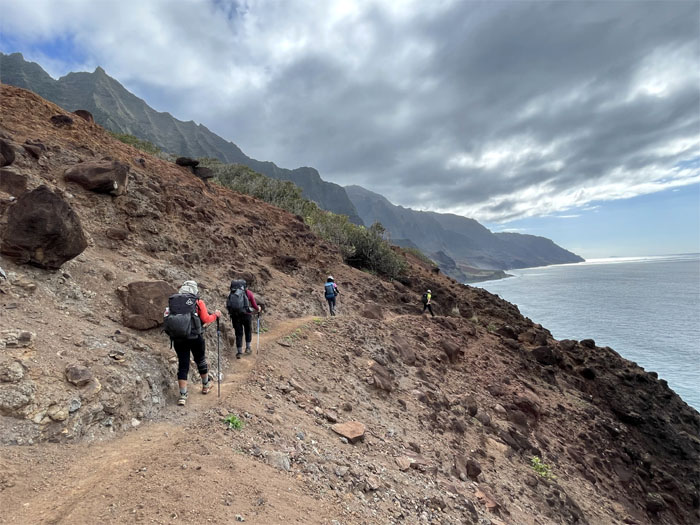
The underfooting is mostly solid rock sporadically covered with a thin sheen of dirt.
If it rained on this section, then the rocks will become slippery and then the risk needle may nudge up a tad. Luckily it didn’t rain on us today or any day that we were on the trail.
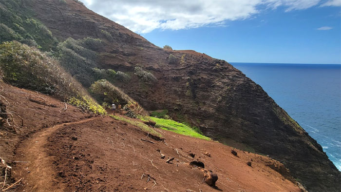
Lack of trees and shrubbery heightend the exposure on the trail.
The steepness of the cliffs slackened off somewhat as we came around the bend. Still steep enough for an avalanche.
Passing through what looked like a freshly cleared and graded section of the trail.
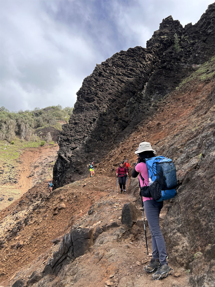
Hiking through another patch of exposed and crumbly cliffs.
We caught up with the two ladies from San Diego who we had met earlier on the trail, who were thinking of turning around as they were not sure if they were going to make it before dark. Luckily, they decided to stick it out and finish it until the end.
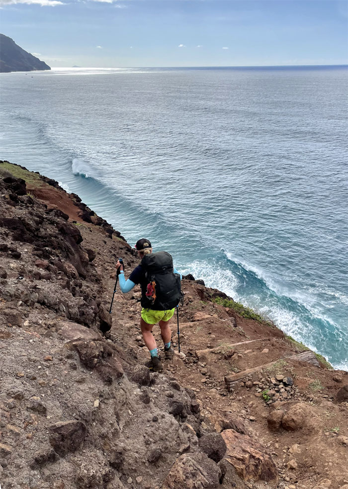
Allison going down the built in steps installed to retard erosion.
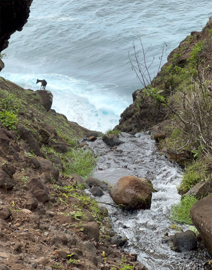
The goats were everywhere. Above us. In the bushes. Below us. Invasive species gone wild.
Three more miles. Almost there!
Allison passing another trickling stream.
We were getting closer.
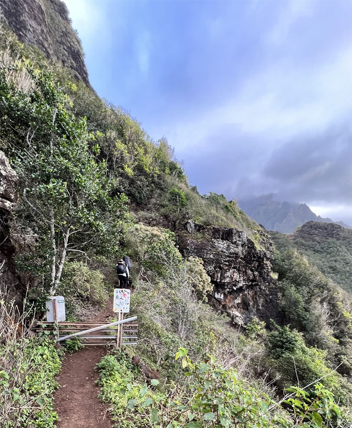
Is that supposed to keep out the goats? Can’t they just contour around the barricade? Oh wait, the goats are everywhere! Maybe its a jumping hurdle so that the goats can keep in shape?
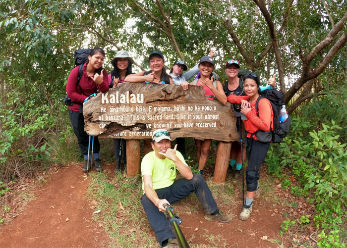
Group photo at the weathered sign at the mile 10 spot. It says “This is sacred land. Give it your utmost care and respect. Leave knowing that you have preserved it for future generations.”
Dropping over 700′ in elevation as we made our way down to the beach.
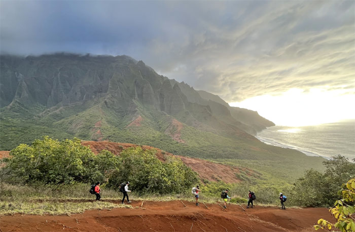
Looking back at Red Hill. What goes down must go back up.
Our last stream crossing for the day at the 11 mile point.
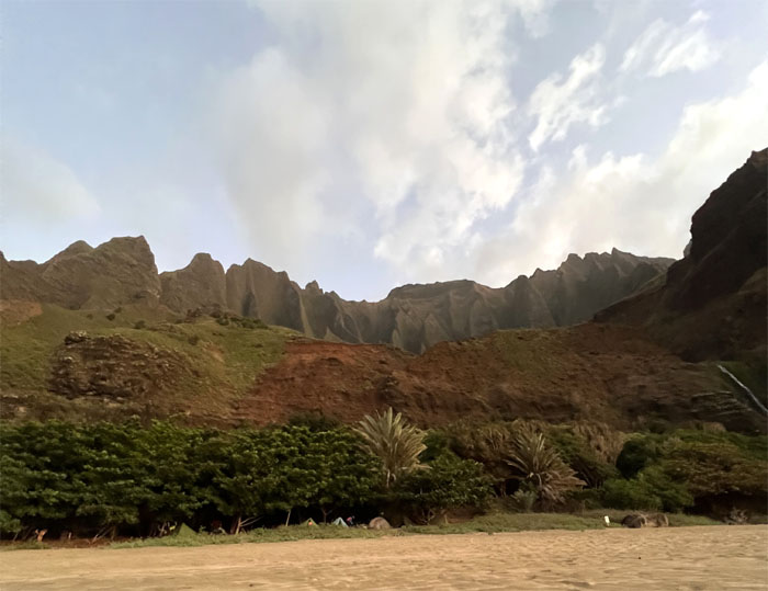
Where the trail meets the beach, a remote stretch of sand that extends roughly a mile bordered by the valley and the ocean. Now we just had to pick our campsite.
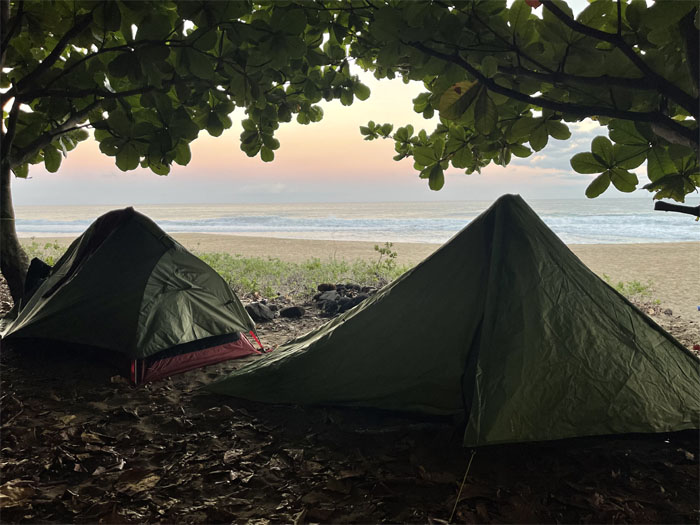
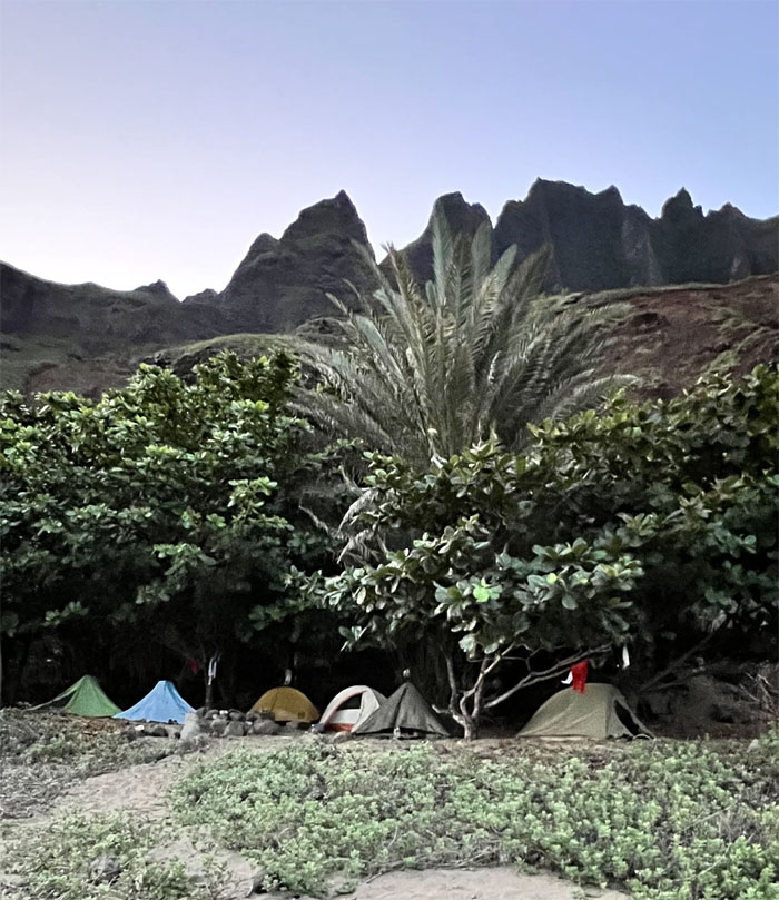
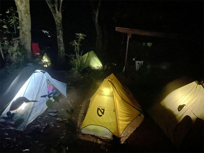
We set up camp in the tree line with perhaps a couple dozen other campers. A far cry from when this valley once supported thousands of Hawaiians until the late 1800s/early 1900s before the valley was sold to missionary families who brought in cattle and then the valley became a state park and nature reserve in the 1970s which in turn became a haven for hippie refugees who were eventually cleared out by the State. Scattered reports indicate that some people still live either part-time or full-time in the valley.
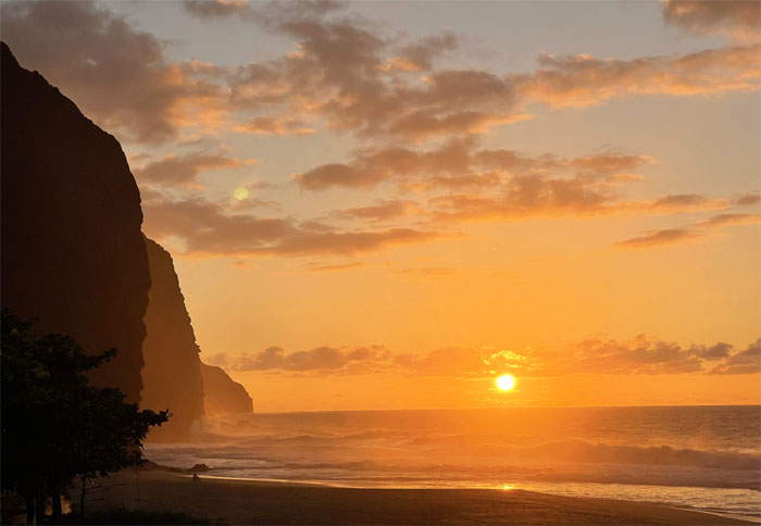
Catching the sunset at the beach.
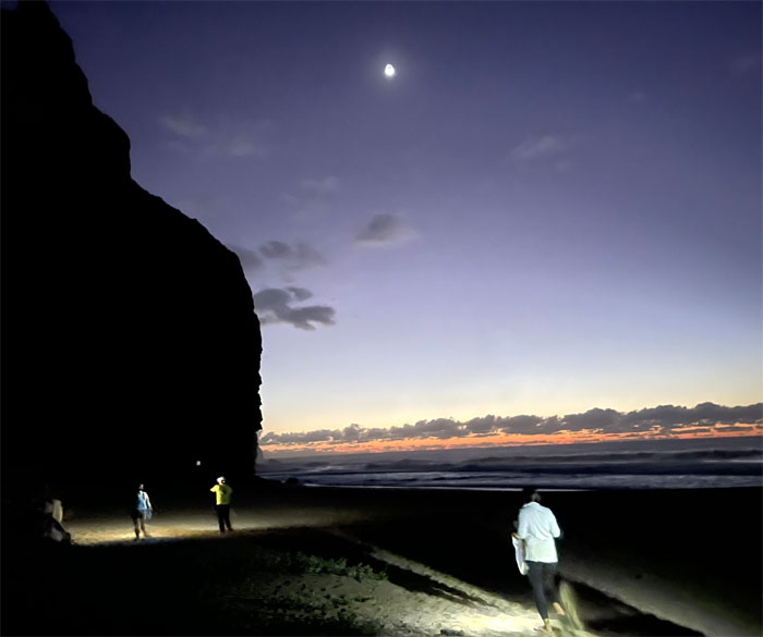
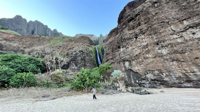
Walking under moonlight to the waterfall.
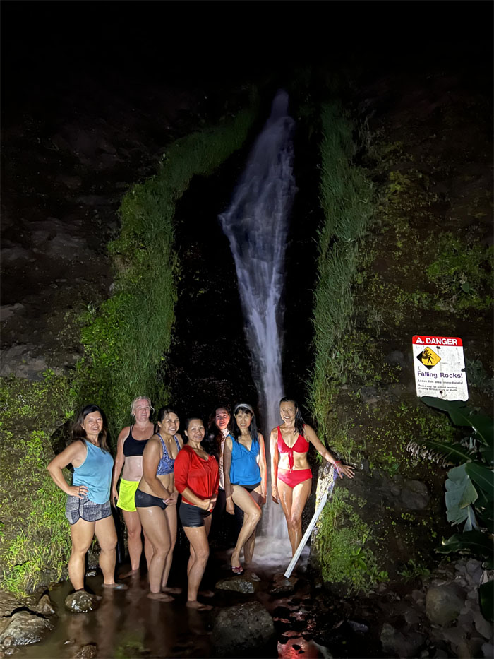
The waterfall that provides drinking water, showers and apparently photo opportunities.
Day 2
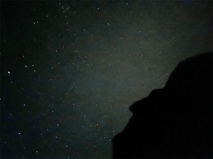
Some of us woke up to nature’s ceiling of night lights.
Good morning from Kalalau.
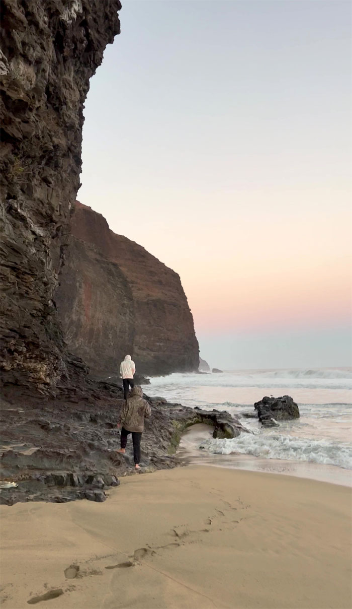
A few of us decided to explore a nearby sea cave for our morning constitutional.
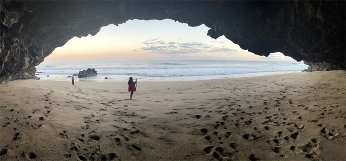
Following in the footsteps of others and the burrowing holes of the hermit crabs scattered across the beach.
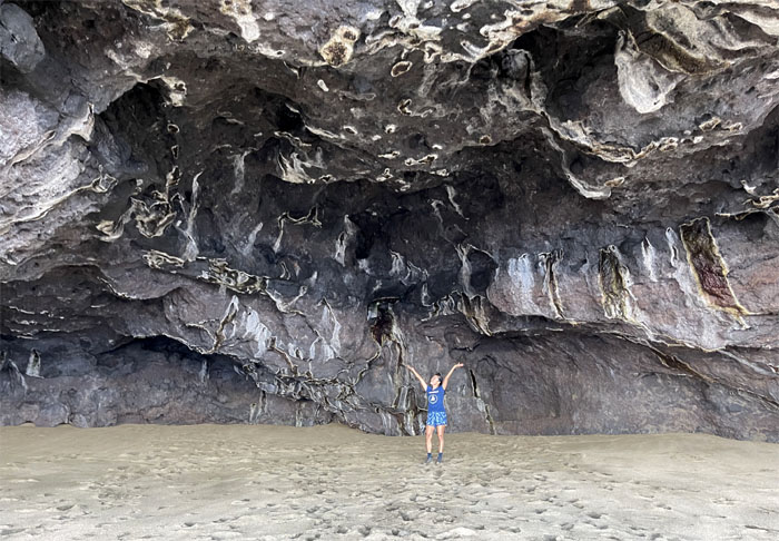
Lilyn standing in the cavern
Looking out towards the ocean that carved this cave out of the basaltic rock through constant surf erosion.
Strong surf and lack of suitable swim wear prevented us from exploring nearby Honopu Beach known for its famous arch, cliff backdrops and waterfalls.
Passing the waterfall and the goats that were at the top, the two legged and four legged ones.
Time for breakfast.
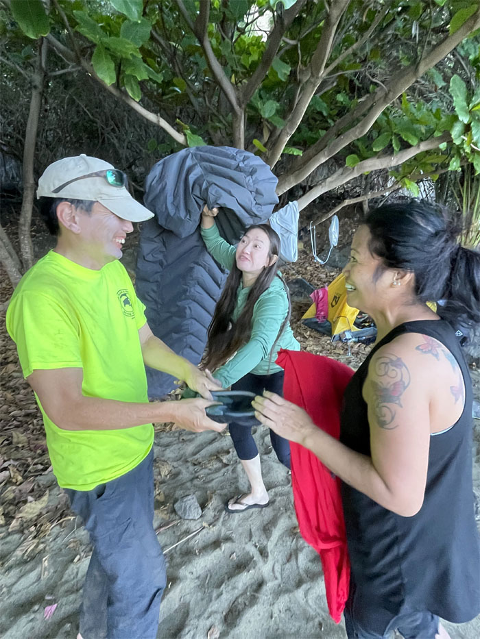
Somebody really wanted to keep the water purification item from lost and found. Thankfully it was returned to its rightful owner on our way out.
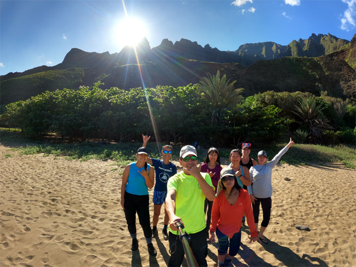
Group photo on the beach before we broke down our campsite. Unfortunately, we did not have more time to explore deep in the valley to discover the Big Pool, Kalalau library, pakalolo patches, pizza oven, waterfalls, gardens, the beach and soothing surf. Not necessarily in that order. Just another reason to come back to this magical place.
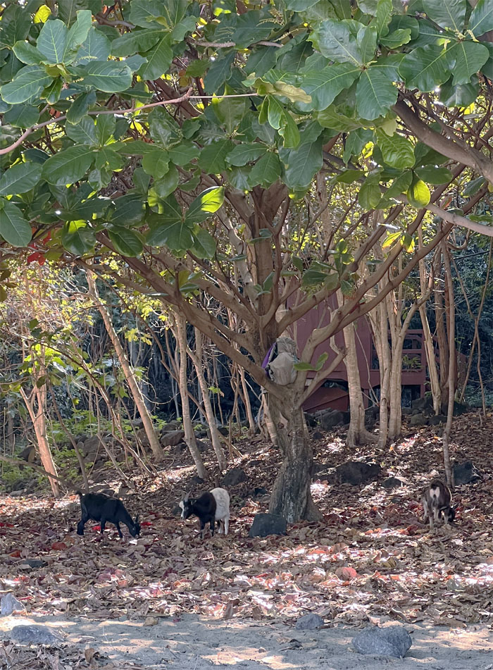
The goats soon came down from the mountains to rummage through the campgrounds for tasty tidbits left behind by careless hikers. Luckily, a considerate friend put somebody’s backpack up in the tree that was out of their reach. As we all know, goats just love coconuts. On our way out, we saw a lot of butane fuel canisters, unused food packets, and even a portable shower that were discarded by lazy hikers who couldn’t pack out what they packed in.
The group trying not to get wet or washed down the stream.
Not to worry. A lifeguard was on duty and to boot, a potential tinder date. Have to widen the gene pool to maintain a robust diversity.
Five miles to our next campsite.
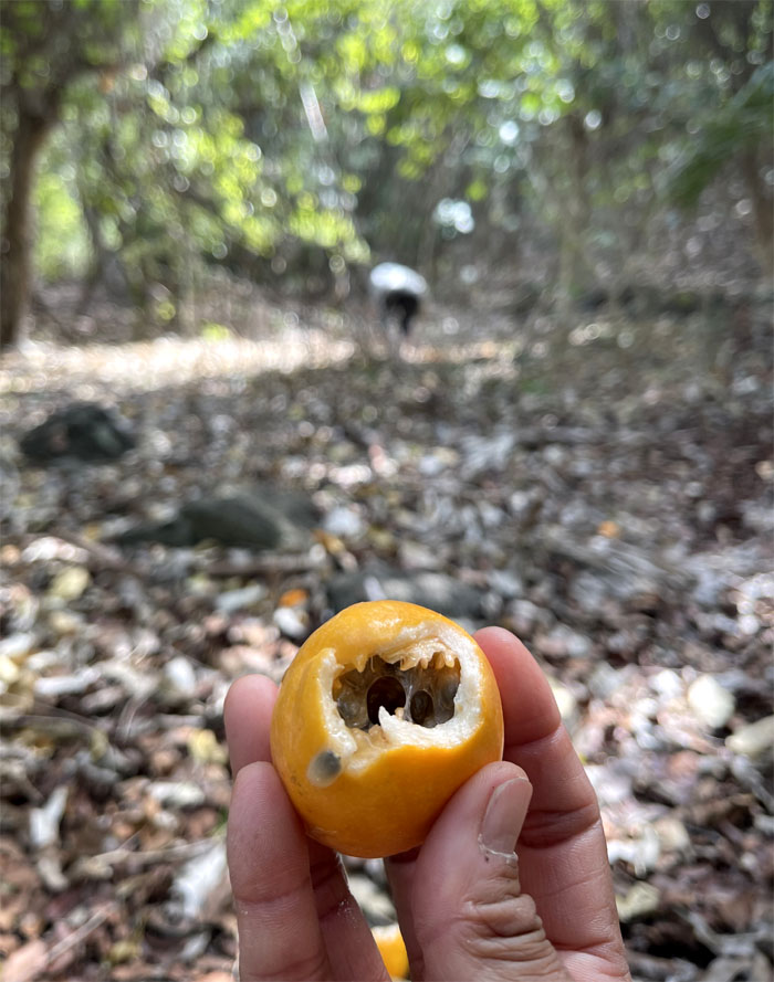
Roseanna had a keen eye for fruit on the trail. So far she racked up calamansi and now lilikoi. The trail shall provide. Roseann shall pick them.
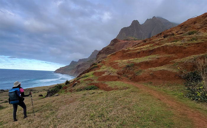
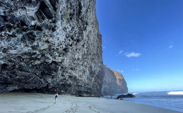
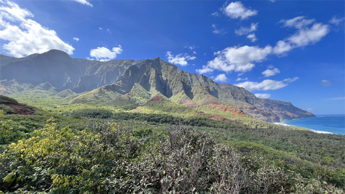
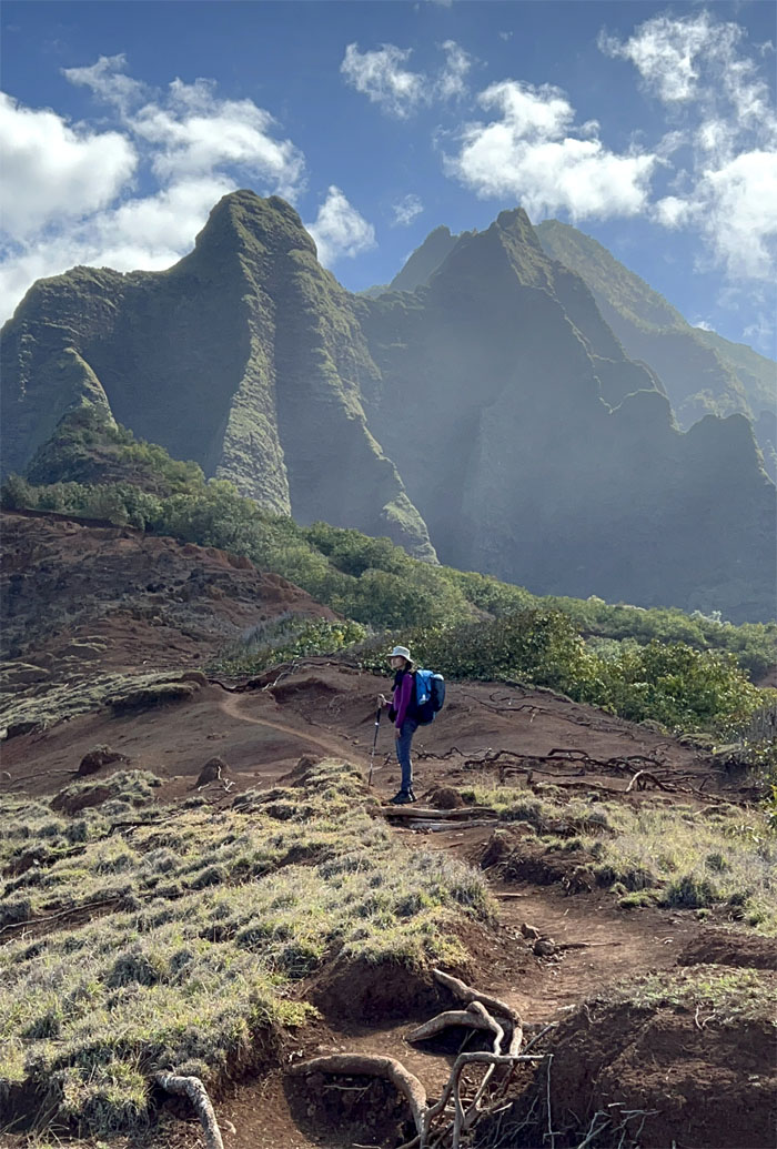
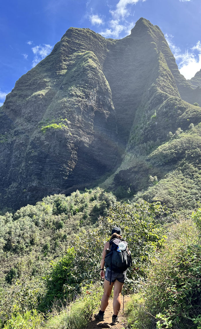
Looking back at the fluted cliffs that give Kalalau her “character.”
Hiking in slippahs on the way back. I stuck with my untied shoelaces.
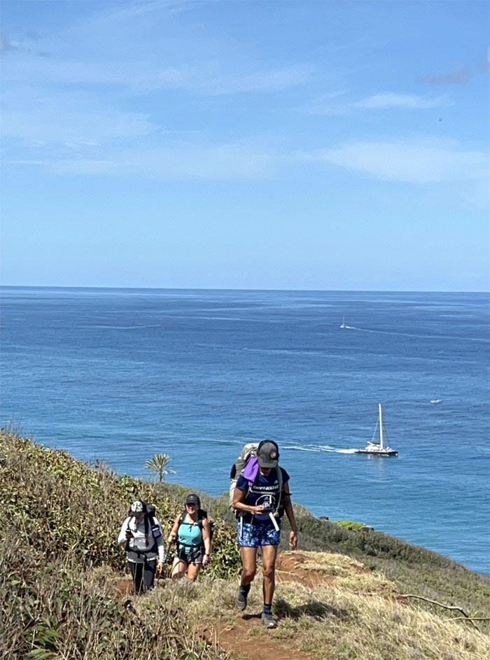
Heading up the hill as we passed multiple boats that were canvassing the shoreline and carrying sightseers and snorkelers.
Aida going up the rooted and dirt trail as we left the beach.
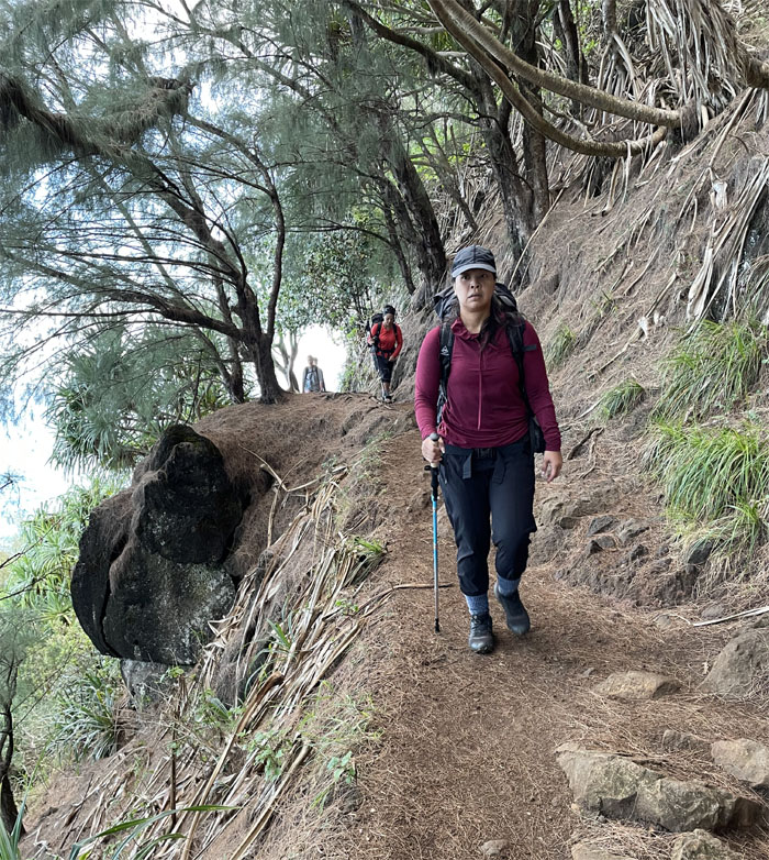
The trail narrowed again in some parts.
Hiking under the imposing scale of the steep cliffs.
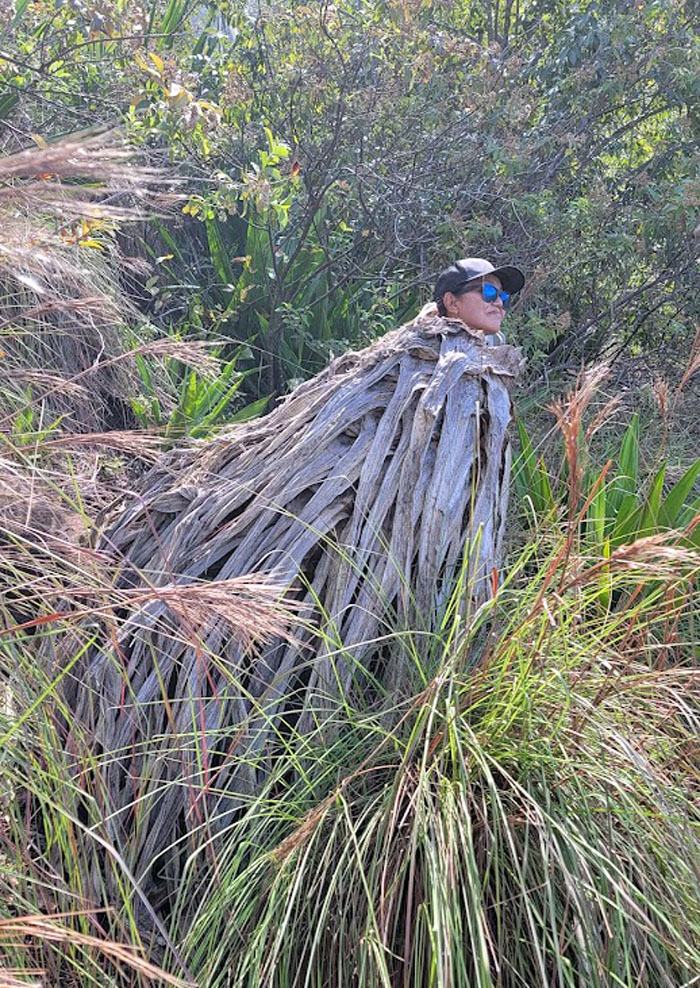
Dropping down into one of the small valleys where we ran across a pseudo plant like alien.
It’s hard to believe that in the 1900s, cattle used to be driven in and out of the valley on these trails.
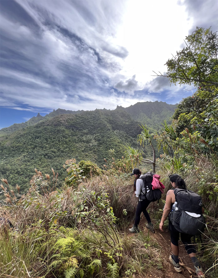
Soaking in the expansive views from the trail.
Quan crossing one of many small streams that feed the valleys.
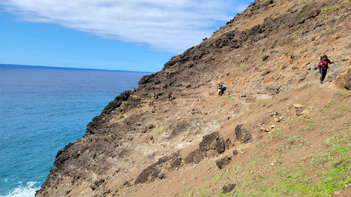
Traversing the exposed section of the trail.
I think it was easier for most of the group the second time around, because I didn’t hear any singing in the background.
Somebody had to slip back into their shoes around this point, lest they slide off the trail.
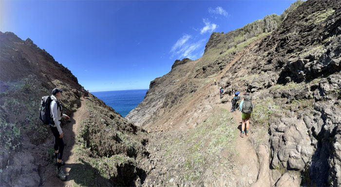
Panoramic view of the trail as it wrapped around the hill.
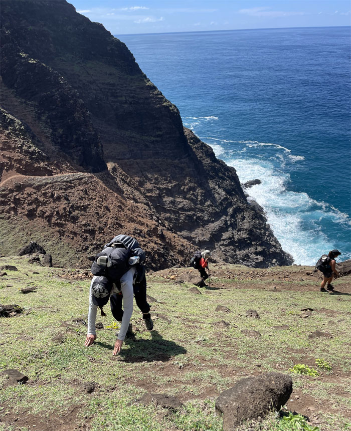
Roseann scampering straight up the hill to avoid the switchbacks.
Going up the hill before we dropped back down into the hanging valley.
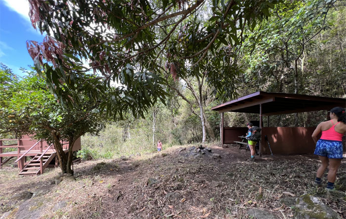
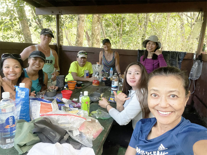
Early dinner at one of two shelters at the campsite.
Who brings evening wear to a hike?
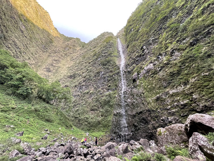
Allison, Lilyn, Roseann and myself made a half mile twilight hike to the 1,000′ falls, however the topography of the area failed to reveal the full towering height of the falls. The flow was somewhat lacking in volume but the sheer scale supposedly dwarfs nearby Hanakapiai Falls, something which I sadly would not be able to verify on this hike.
Somebody was looking for a place to stay. Aida?
Good night from Kalalau.
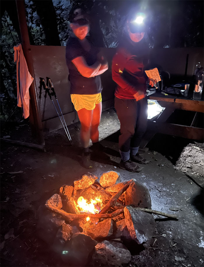
The smell of toe jams was released from the morning campfire. Thanks Allison.
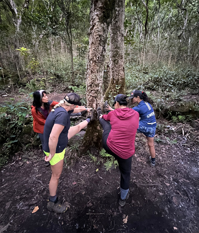
Morning stretch before the last leg of the hike.
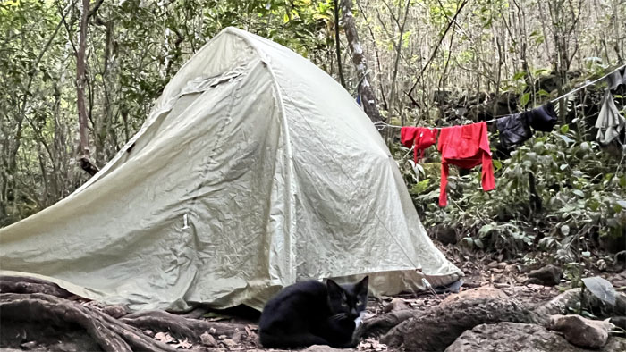
We broke down our tents and left the campsite.
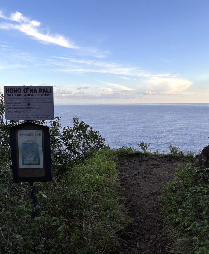
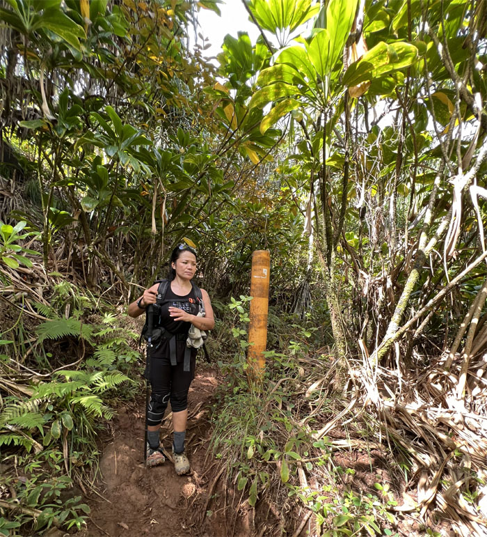
Passing through part of the Natural Area Reserve that encompasses 3,579 acres in the Hanalei and Waimea areas.
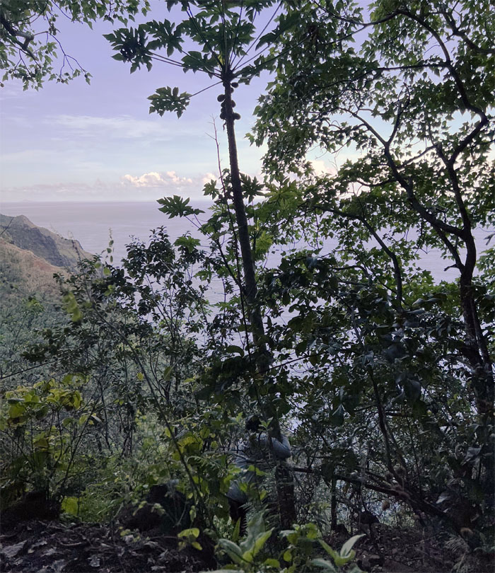
The fruit picker was at it again. This time shaking down the papaya tree.
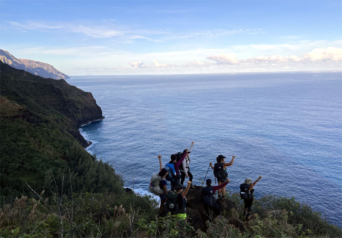
Waving at the whales. Like they give a flip.
Making our way down towards the second beach.
Entering the tsunami and the practical joke zones.
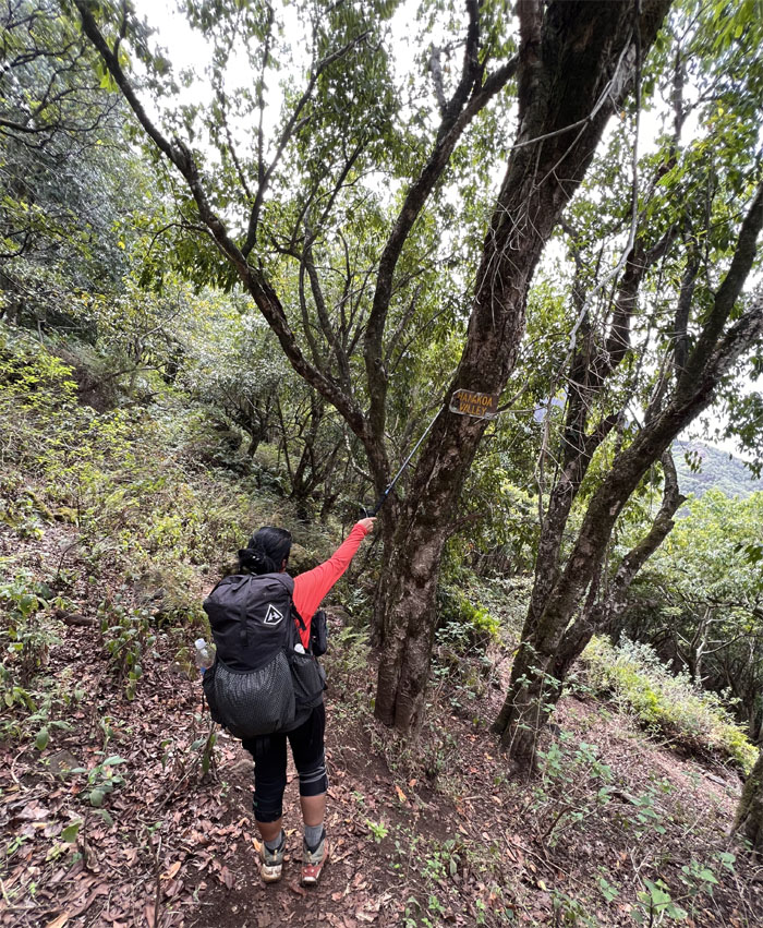
Pro bono promotion for Hyperlite Mountain Gear. Do we get a sticker(s) at least?
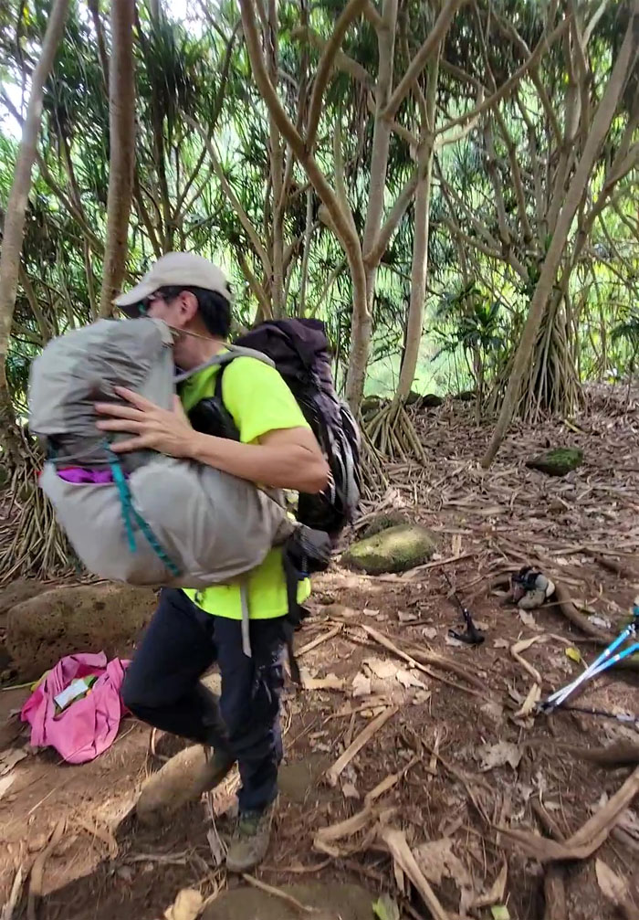
Faking a sprained ankle to get your backpack carried down to the beach. Payback is named Lilyn.
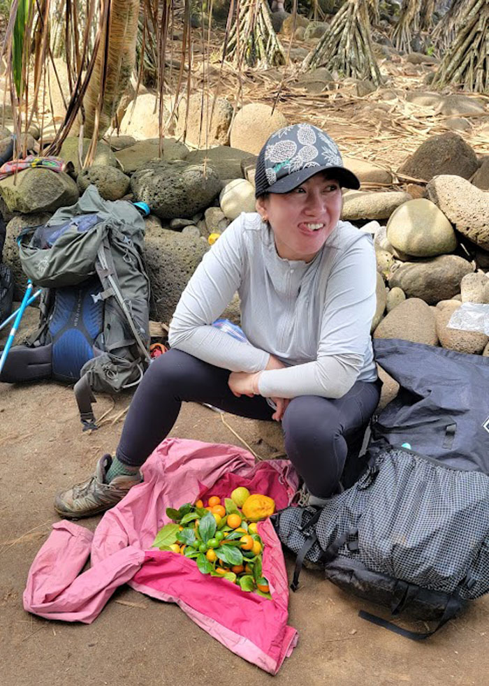
Some people carried fruits on the way out. Others carried rocks.
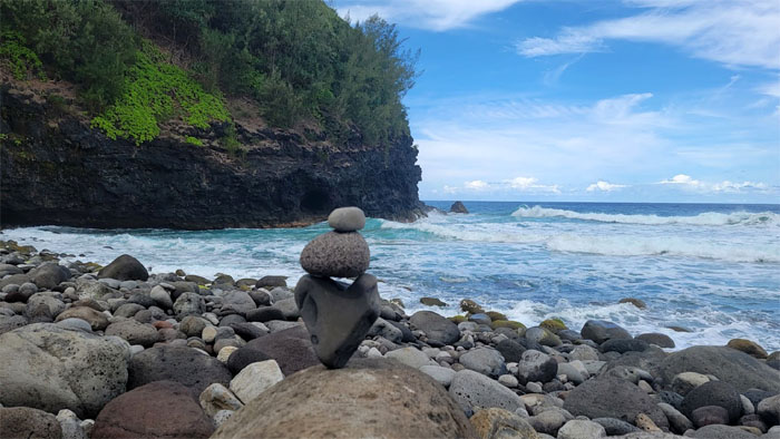
Emotional rock stacking.
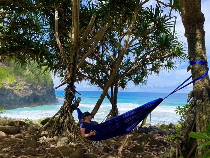
Swinging in the hammock for the photo opportunity.
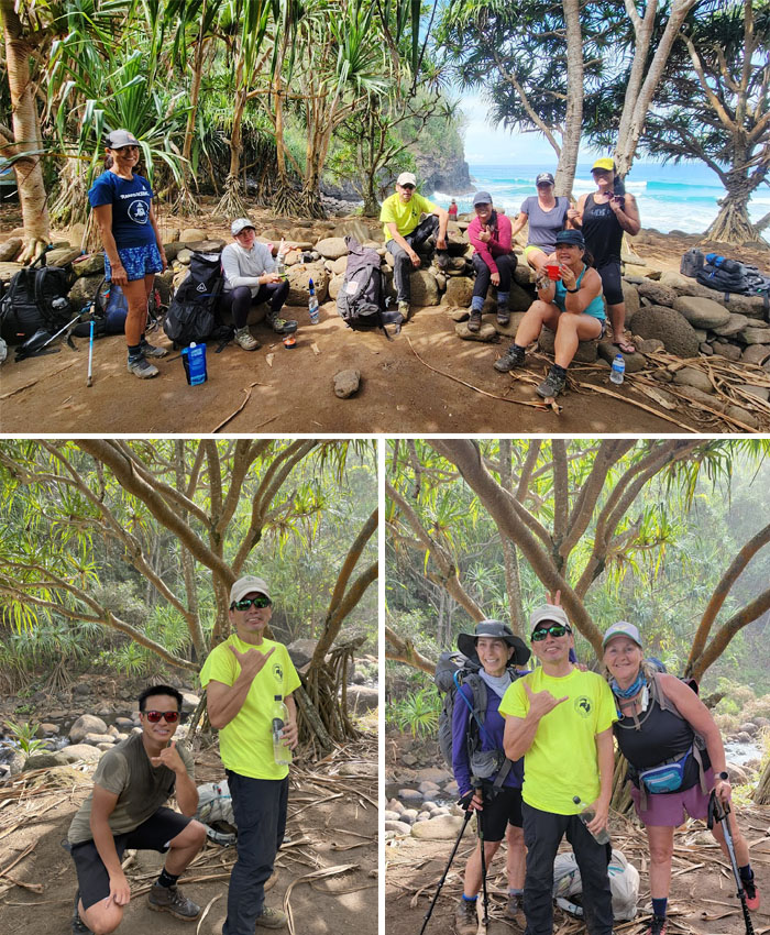
Group photo at the beach with the rats in the rocks, along with Justin from Oahu who is seeking a qualified Filipino wife of child bearing age, and Marie and Karla from San Diego.
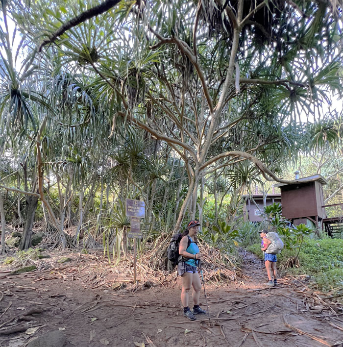
Making the two mile hike to Hanakapiai Falls was shelved for a return hike, so we all checked our packs for rocks and crossed our last stream on the trail.
Allo! No bye bye for me. Making special friends on the trail. I think it was the untied shoelaces that gave me away.
Allison descending back down towards the final beach on the trail.
We got back to our starting point with time to spare before our ride picked us up. Some of us took a dip at the nearby Ke’e Beach, while others snagged a free soda, showered and emptied the rocks out of their packs.
Our three day hike covered over 24 miles that was filled with spectacular scenery that lived up to its billing, good times and fun company. A visit to my burger restaurant was out of the question, so we settled on takeout food from Burger King. Free shake for the driver. Travel tip to hikers, always remove butane fuel tanks from your pack unless you enjoy being detained by airport police as TSA has a 100% detection rate.
Photos taken by Aida Gordon, Allison Banks, Lilyn Avendano, Marilyn Bermudez, Quan Haberstroh, Roseann Fai, Scot Dea, Tessa Bugay and yours truly. Not necessarily in order.
Note: I have been made aware that some hikers have been using my blog as a hiking guide and getting lost on the trails. Please note that this blog was made to document the hike for the crew(s) that did it. That is why some of my comments will seem to have no relevance or meaning to anybody outside of the crew(s) that hiked that trail. My blog was never meant as a hiking guide, so please do not treat it as such. If you find inspiration and entertainment from these hikes, that is more than enough. If you plan on replicating these hikes, do so in the knowledge that you should do your own research accordingly as trail conditions, access, legalities and so forth are constantly in flux. What was current today is most likely yesterdays news. Please be prepared to accept any risks and responsibilities on your own as you should know your own limitations, experience and abilities before you even set foot on a trail, as even the “simplest” or “easiest” of trails can present potential pitfalls for even the most “experienced” hikers.



{ 2 comments… read them below or add one }
Awww, I miss kalalau already.. next time, let’s stay longer to explore the areas. Much Mahalo for documenting this awesome adventure.
Aloha Tessa,
Yup that was def a grand adventure that needs to be explored more.
Mahalo