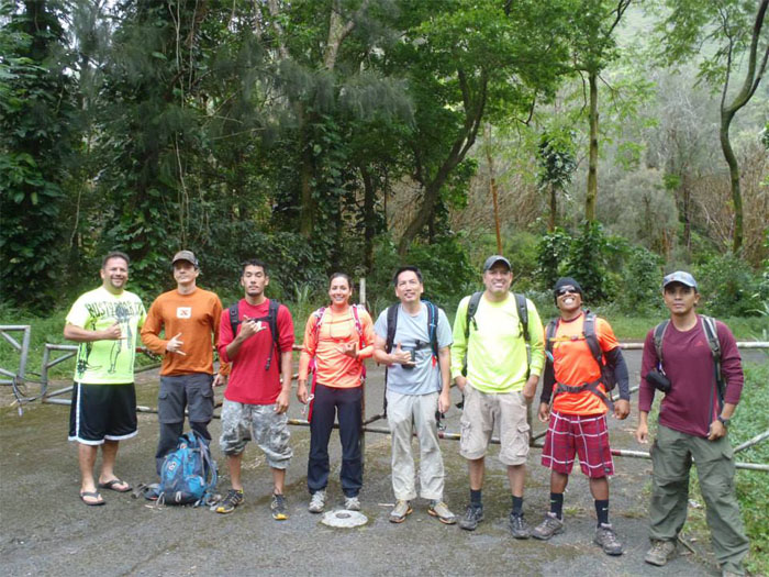
Was I hallucinating? Was I actually standing in the company of Tom, J, Sara, Marcus, Rito, Ted and Kilei on the side of Likelike Highway? I had to rub my eyes and pinch myself to realize that after five false starts that was cancelled due to weather, we were finally going to hike Kalihi Saddle! Pat Murphy was nice enough to play shuttle driver and pick all of us at the top of Alewa Drive and drop us off in front of the Wilson Tunnels on the town side. Photo by Kilei Nelson.
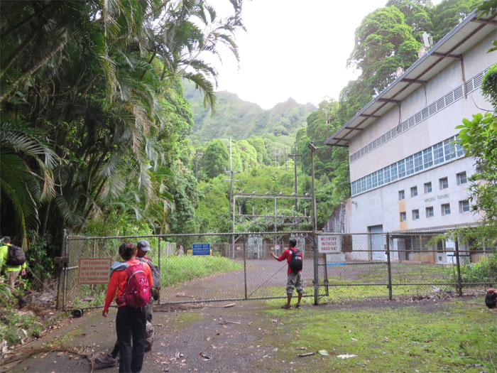
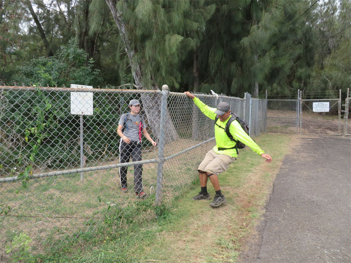
The somewhat paved road led us to this fenced off area. We picked up the trail to the left of the power station. I believe at this point, that Rito started the running gag about something “blue and sharp” that started to make its rounds within the group. Inside joke.
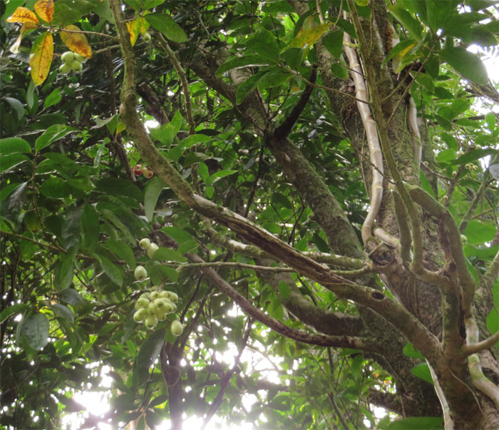
Not yet ripe for the picking. Too bad, would have been a nice snack to take with us.
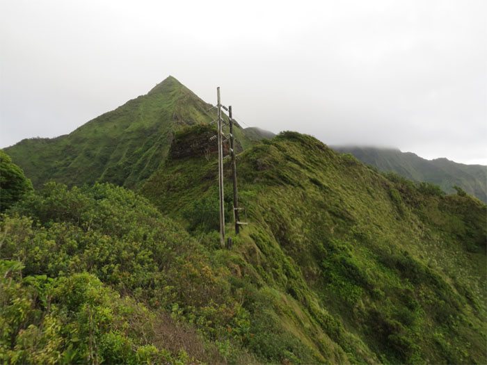
After making our way up the mosquito infested trail for about half an hour, we came up to the powerlines that marked the center of Kalihi Saddle. Going to the left involves climbing up towards Kahuauli (Bowman), another hike for another day. We were going right towards Lanihuli.
Sometimes it’s hard to spot signs of civilization.
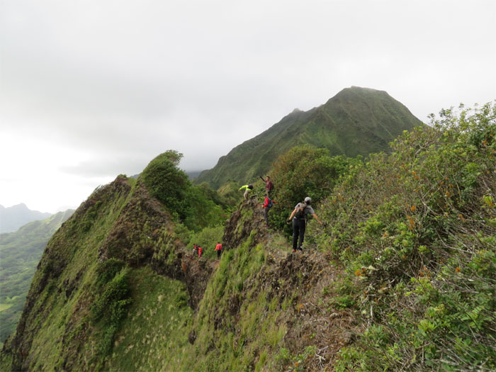
Walking along the somewhat narrow ridgeline. So far, so “easy.” Nothing we haven’t done before, as Marcus had explained to us. Photo by Marcus Griego.
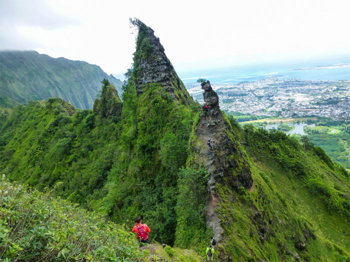
Making our way down to the first obstacle – Shark Fin. Legendary hiker, Pete Clines, gave the colorful names to these obstacles on the saddle.
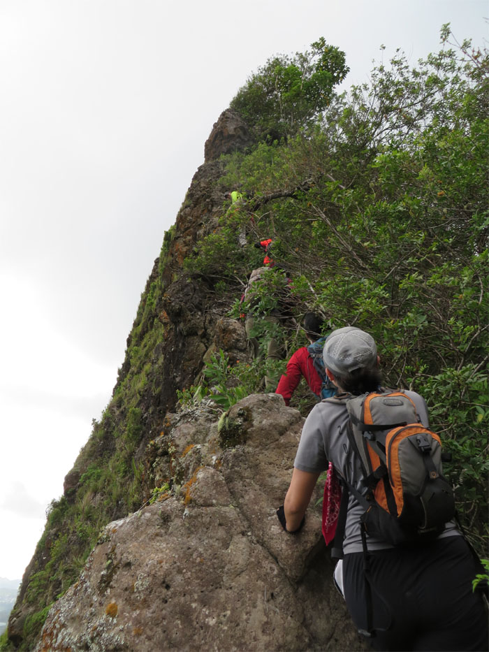
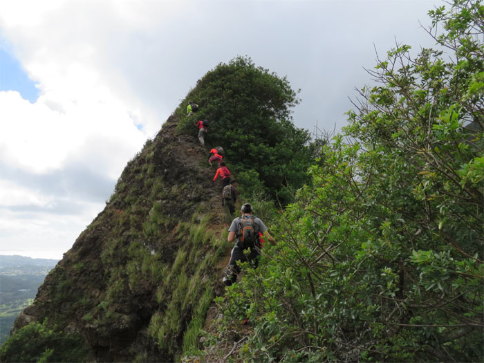
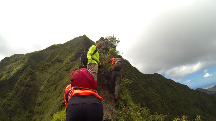
Going up, the trees were more of an obstacle than the obstacle itself on this climb.
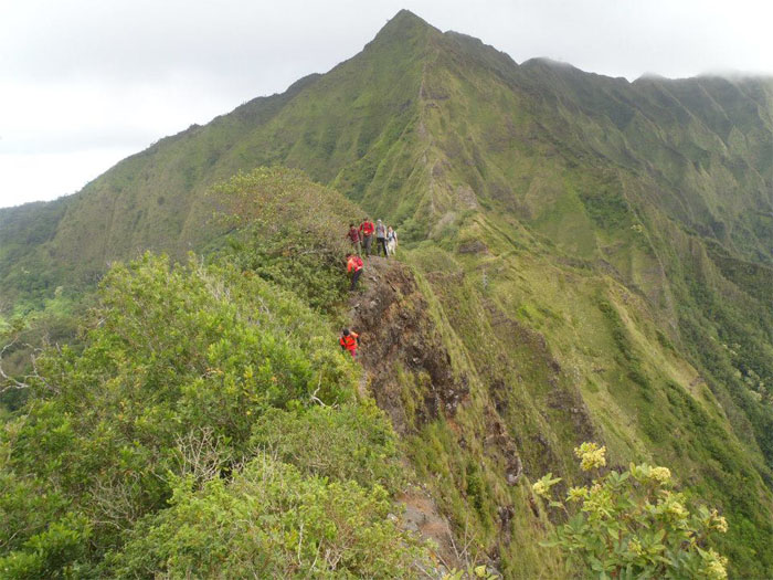
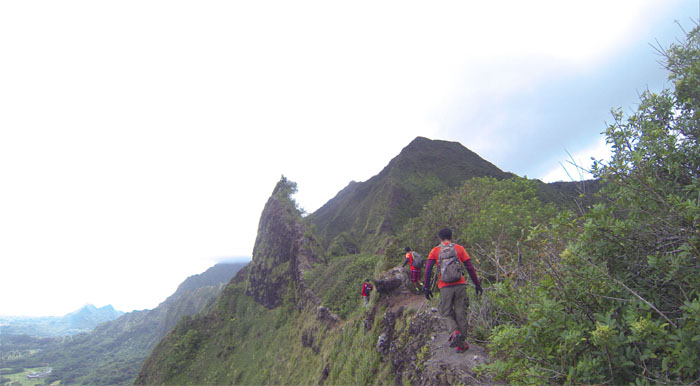
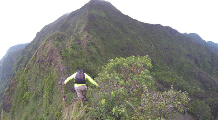
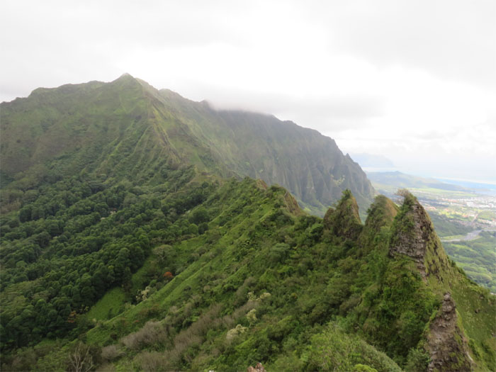
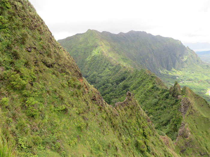
The entire saddle is basically a narrow undulating ridgeline punctuated by obstacles of varying difficulty. In other words, enough to keep you interested and on the edge. Literally.
The first bunny ear was as she sounded, nice and fluffy with trees. No real difficulty to be found here.
Strong winds blowing from the Windward side pushed us away from the steep Windward cliff drops.
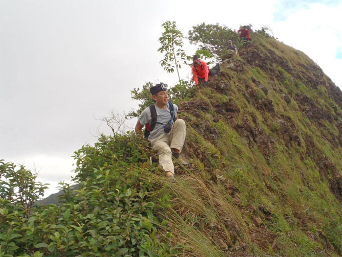
The second bunny ear was a tad taller and somewhat crumbly. Nothing to sneeze at. Marcus pointing at a loose rock that was best to be avoided. Photo by Tom Engle.
The trees and bushes on the Leeward side combined with the pushy Windward winds kept us somewhat vertical on the narrow ridgeline.
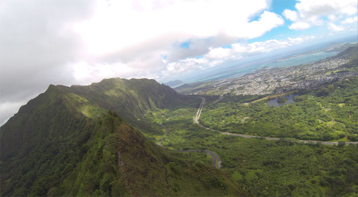
Sometimes you just have to pause and check out the views. Photo by Marcus Griego.
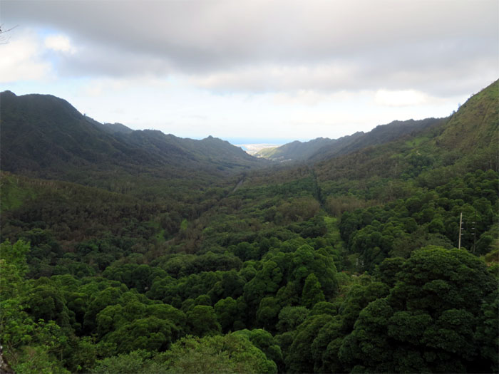
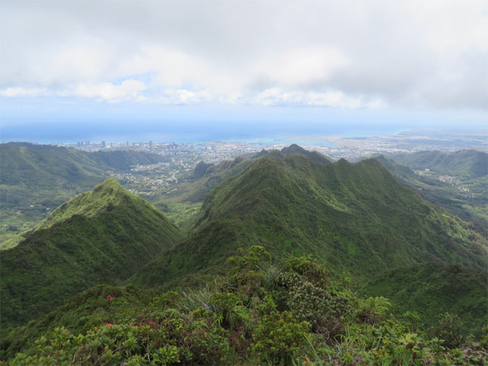
Like these views for example.
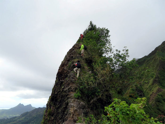
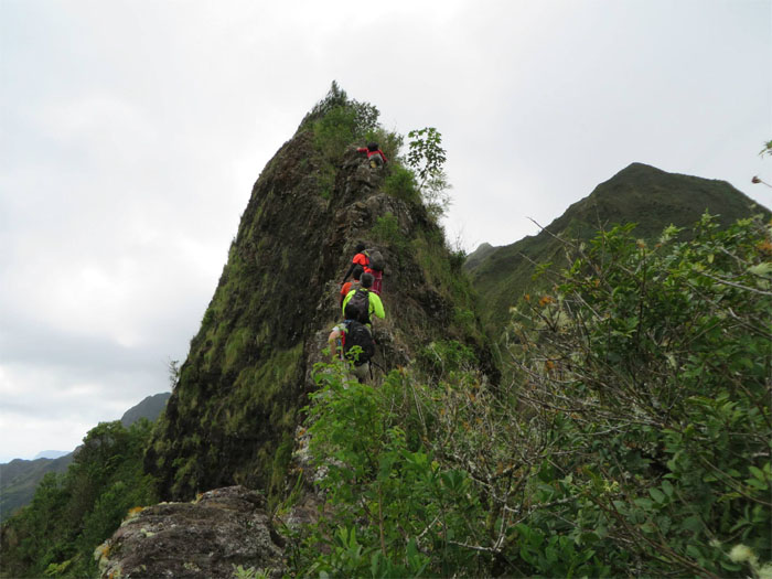
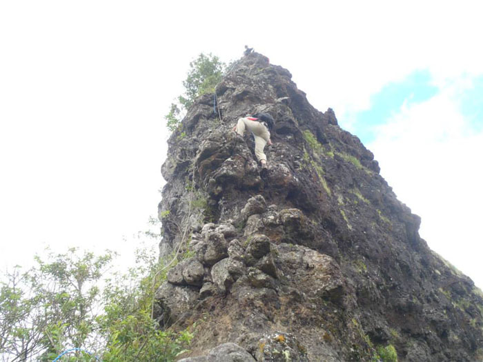
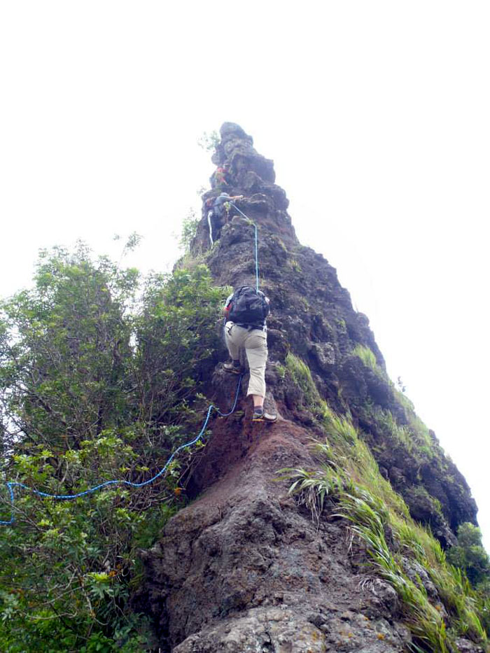
Going up the Doorstop was a little more tricky, as it involved some rock climbing. A taste of what was to come. Photo by Tom Engle.
Coming down the backside of the Doorstop, we discovered that there was rope leftover from previous hikers. Mahalo! Photo by Tom Engle.
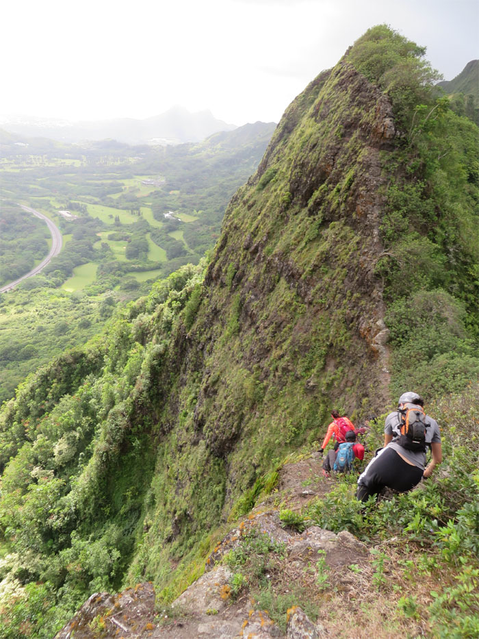
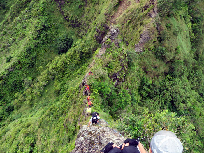
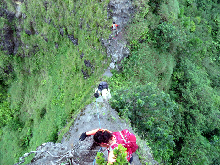
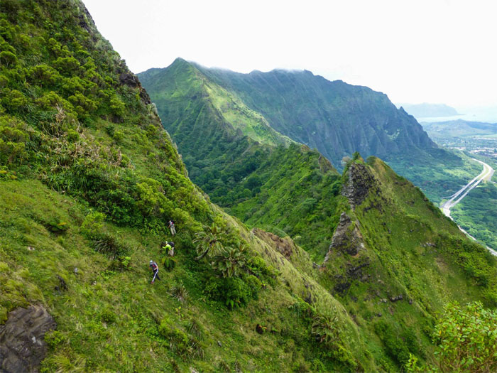
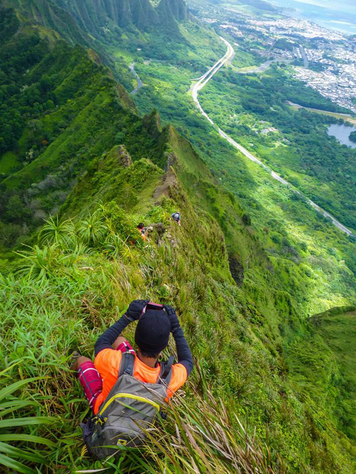
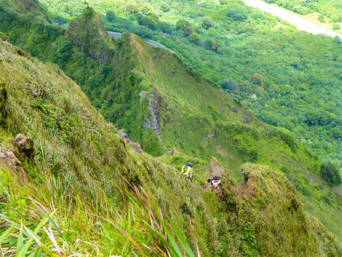
Coming down these obstacles is challenging as you are fighting gravity and oftentimes it’s hard to see where your next foothold will be. Photo by Marcus Griego.
“Move it you maggots, I have mountain apples to pick!”
Ropes are our friend on this hike. Coming down, my left foot made contact with some rocks which then promptly gave way, the rope helped me to recover.
This would be the last major rock obstacle we would have to climb. But the fun was not over yet. Not by a long shot. Photo by Marcus Griego.
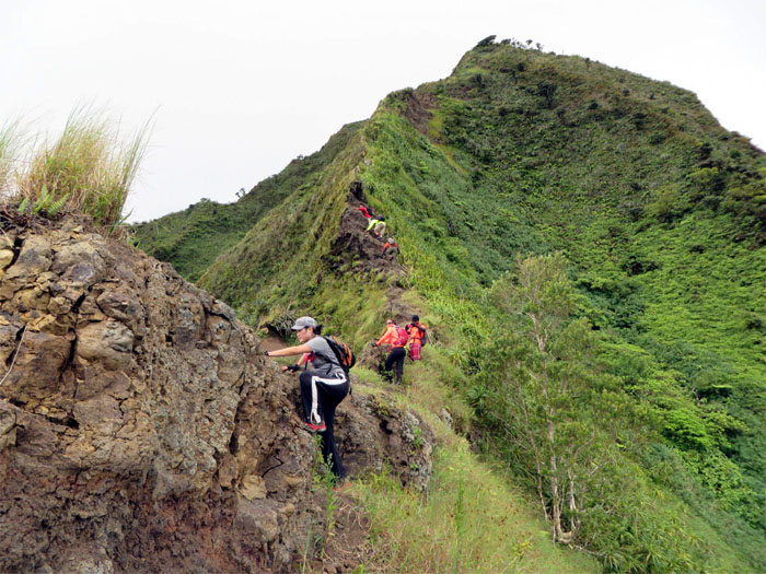
Yup, we had to climb all over those bad puppies, that’s what makes ridge hiking fun and challenging. Photo by Ted Calvero.
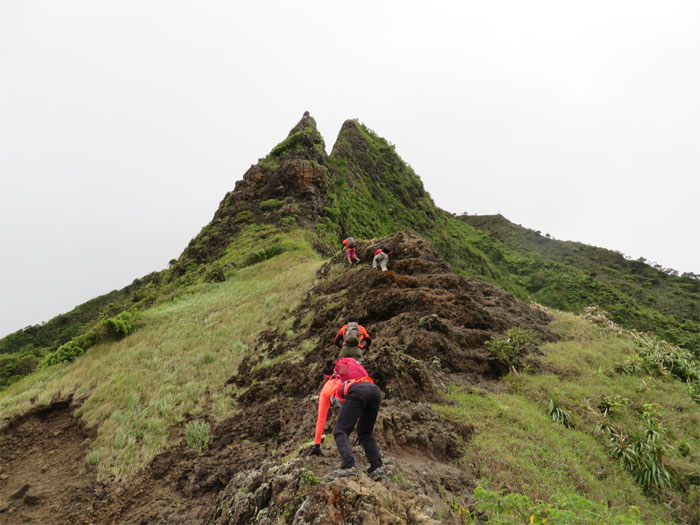
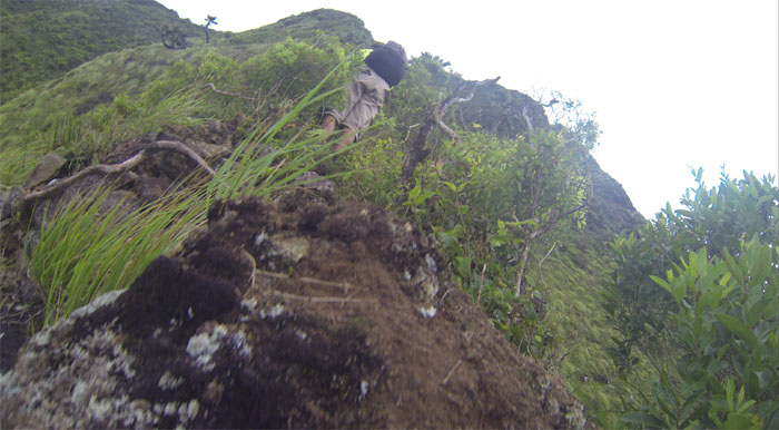
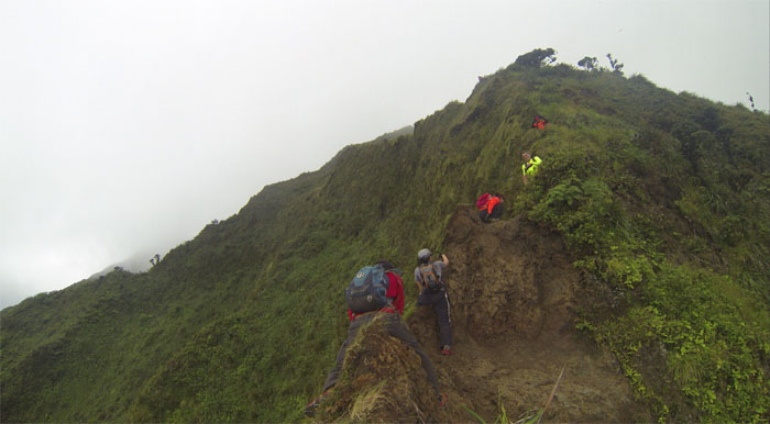
There were a couple crumbly dirt sections to be climbed as we made our way up from the Pimple.
Taking a well deserved snack break below the Can Opener. Photo by Marcus Griego.
Looking back at Kalihi Saddle, one of three saddles on the Koolau mountain range. The other two being the Moanalua and Nuuanu Saddles.
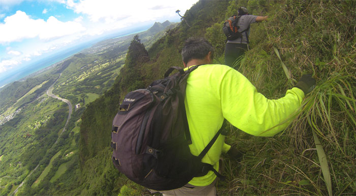
After our break, we contoured on the Windward side of the Can Opener hanging onto the uki grass for dear life.
Another perspective on the steep contour around the Can Opener. Photo by Ted Calvero.
It was pretty steep going up. If you slipped, it would be a long tumble down.
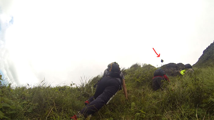
A word most hiker’s don’t want to hear. Especially when you’re on the receiving end! I don’t think my GoPro would have protected my big head. Luckily I ducked in time.
Looking back at the “hook” of the Can Opener. Photo by Tom Engle.
After 30 minutes of pulling ourselves up this near vertical cliff to regain the ridge using only plants and webbing, my arms were jello.
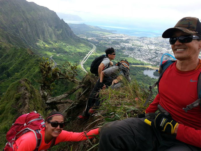
Taking a short break on this small plot of real estate perched precariously on a thin ridge. Photo by Rito.
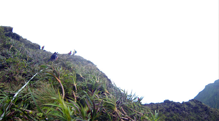
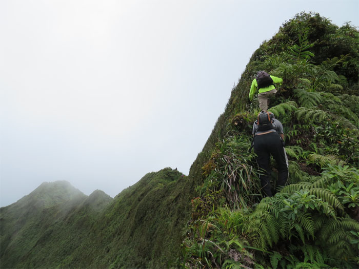
We started our long climb up a very steep and skinny ridge towards Lanihuli.
Rito taking pictures of the group coming up the ridge. Photo by Ted Calvero.
Several sections of the ridge were more exposed and eroded than other parts. Photo by Tom Engle.
This section of the ridge was severely eroded, it seems like only a matter of time before this section gives way.
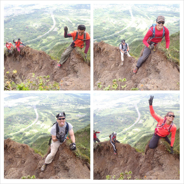
The ridge was narrow to the point where you had to straddle and scoot to get across. Photos by Marcus Griego.
The ridge widened, that’s being generous, enough for us to resume our climbing. Photo by Ted Calvero.
Mother Nature was nice to us in the form of breezy trade winds and overcast clouds that helped keep us cool on the hike.
The narrow ridge gradually became a tad wider as we approached the summit. Photo by Marcus Griego.
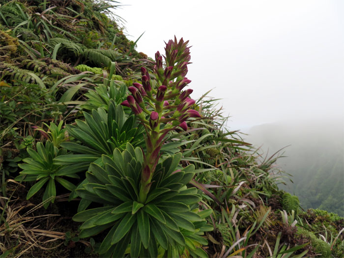
We ran across this rare and endemic plant found only on Oahu, also known as the Koolau Range lobelia.
Marcus and Kilei making their way over the last couple hills before the summit.
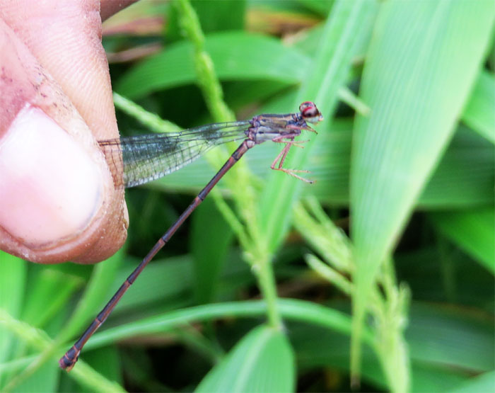
The bug whisperer, J, found this damselfly, that played possum when he caught it. NatGeo is calling!
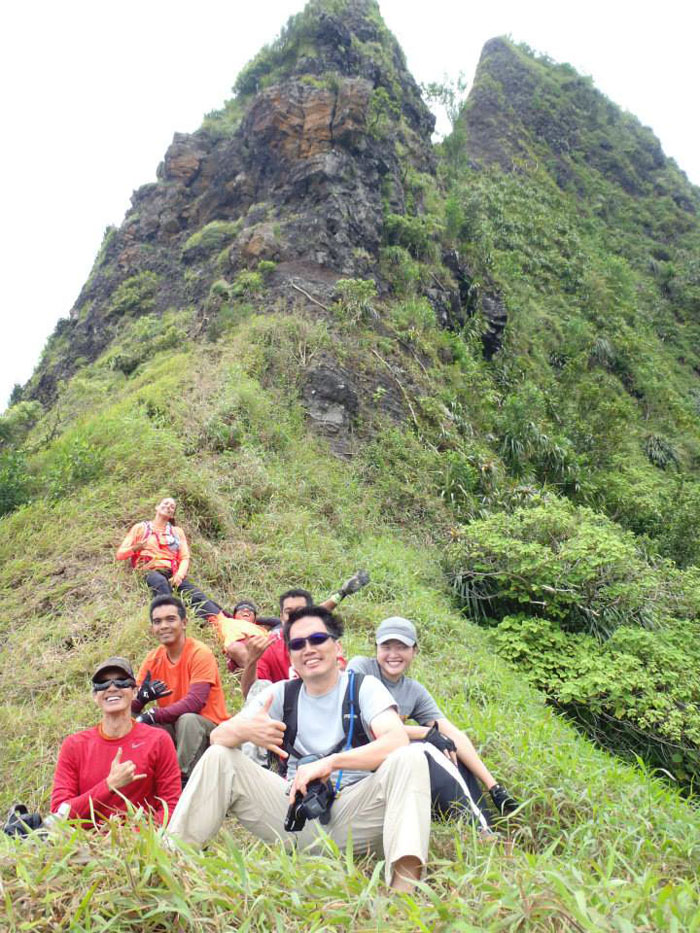
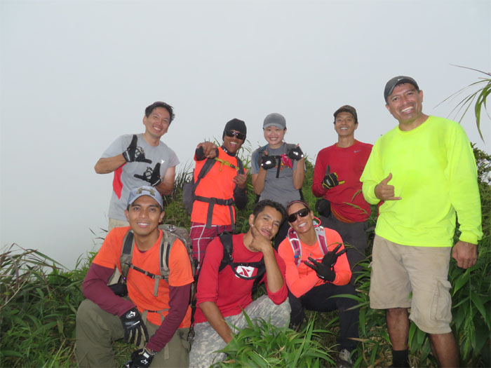
Group photo at the cloudy summit standing left to right: myself, Rito, Kilei, Tom and Marcus. Kneeling left to right: Ted, J and Sara.
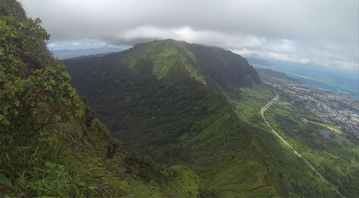
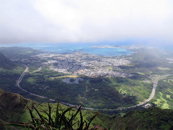
The clouds cleared to give us a postcard view of the Windward side.
A group of teenagers popped up at the summit, they had hiked up from Kamehameha School and were planning on going towards the Pali. They had no water and no idea what they were getting themselves into. That’s what leads to rescues. J was nice enough to give them some water and they wisely decided to go back down Alewa ridge.
The walk down Alewa ridge was the longest part of the hike, of course less fraught with challenges.
Kilei and Marcus making their way over the fence at the top of Alewa Drive. After this, it was a late lunch at Bangkok Chef.
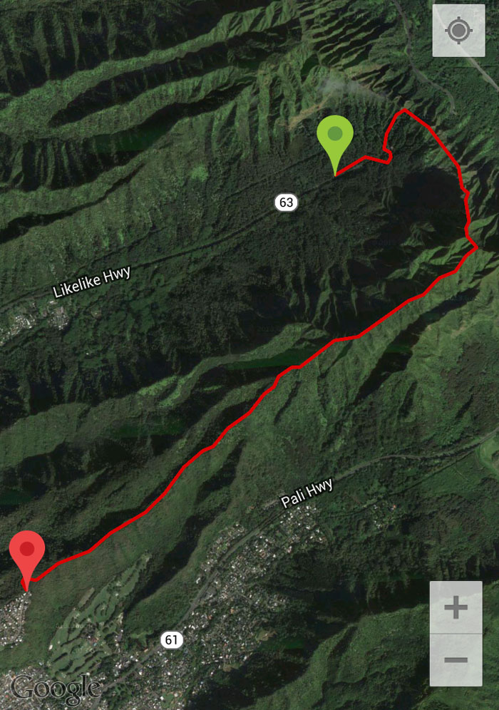
The 4.9 mile hike was the hardest I’ve done to date. It was filled with mental and physical challenges and an extra serving of fun along with good company.




{ 6 comments… read them below or add one }
I enjoyed your photos of your hike. I would like to ask that the original place names of these ridges be used so that those names can continue on. The names you are giving the ridges will contine in the hiking community and eventually will end up as the “names” of these ridges. E olu’olu, please preserve the olelo inoa of these ridges. Mahalo!
Aloha Joanna,
Thanks and I’m glad you enjoyed the pics. I try to use the Hawaiian names when possible, if you could be so kind as to let me know when I slip and help educate me, that would be much appreciated!
Mahalo
Hey kenji I appreciate your blog posts! You are an epic hiker. Do you mind revealing where you were dropped off to start the hike to kalihi saddle? Me and a couple other hikers plan to do this on Sunday
Aloha Sarah,
Thanks for your kind words. It’s on Likelike Highway after the Wilson Tunnels headed townbound, you will see a gate on your right soon after exiting the tunnels. You have to be dropped off as parking is not allowed. It leads to a HECO station, the trail is to the left of the fenced station. Stay safe and have fun.
Mahalo
Brah, that was an insane hike. I wanna do it?? I am looking to get up there soon .fantastic documentary and commentary of your epic hike.
Aloha Merrill,
Thanks. Just be safe if you do it, and if can, take somebody that has done it before with you.
Mahalo