
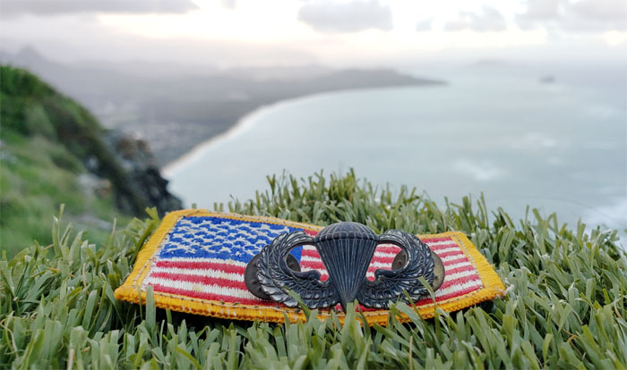
They said one of the ways to celebrate Veterans Day is to get outdoors with a veteran. So I rounded up a couple of my friends to polish off a small chunk of the KST.
Kamehame Drive
Met up with Aida, Angela, Art, Lilyn, Quan and Sally at the end of the road with million dollar views. There was a lot of two way traffic on this popular “hike” that was teeming with local residents and hikers alike.
Kamehame Drive
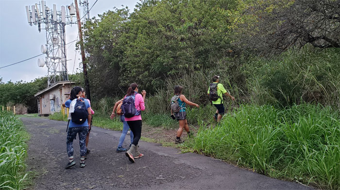
Leaving the road for the mountains.
Trail
Going up the steps with valley views behind us. Photo by Art Young.

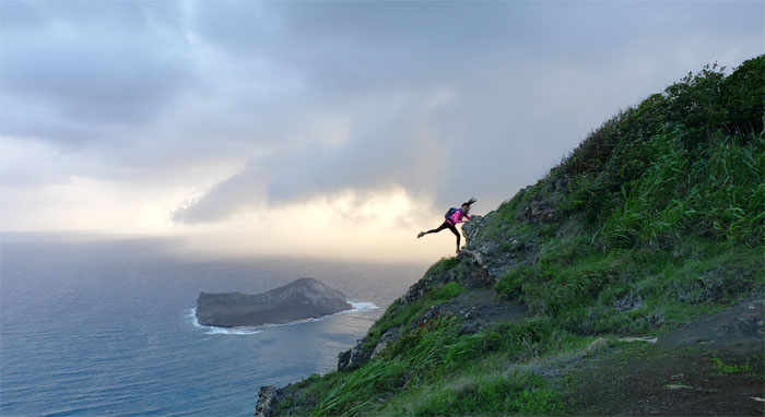
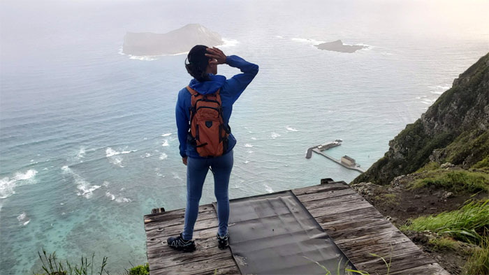
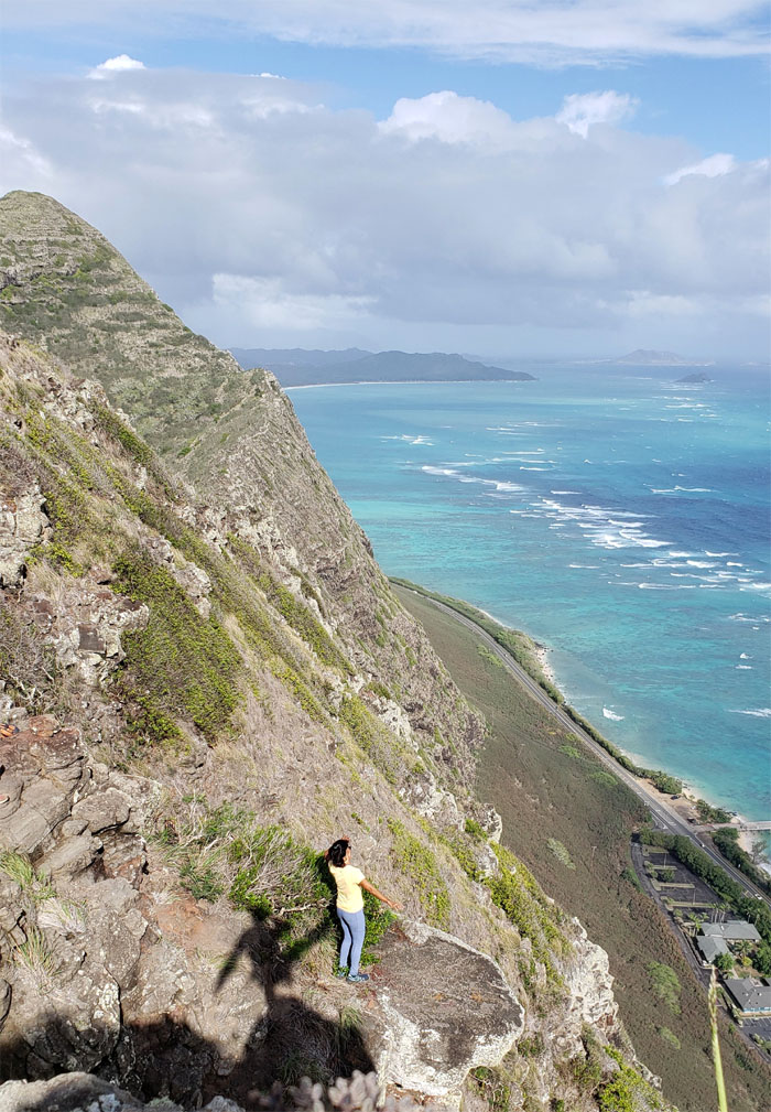
Hang Gliding Platform
Hanging out and not hang gliding out.
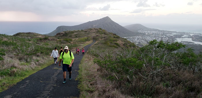
Ko’olau Summit Ridge Trail (KSRT)
Sally kicking it in the mountains.
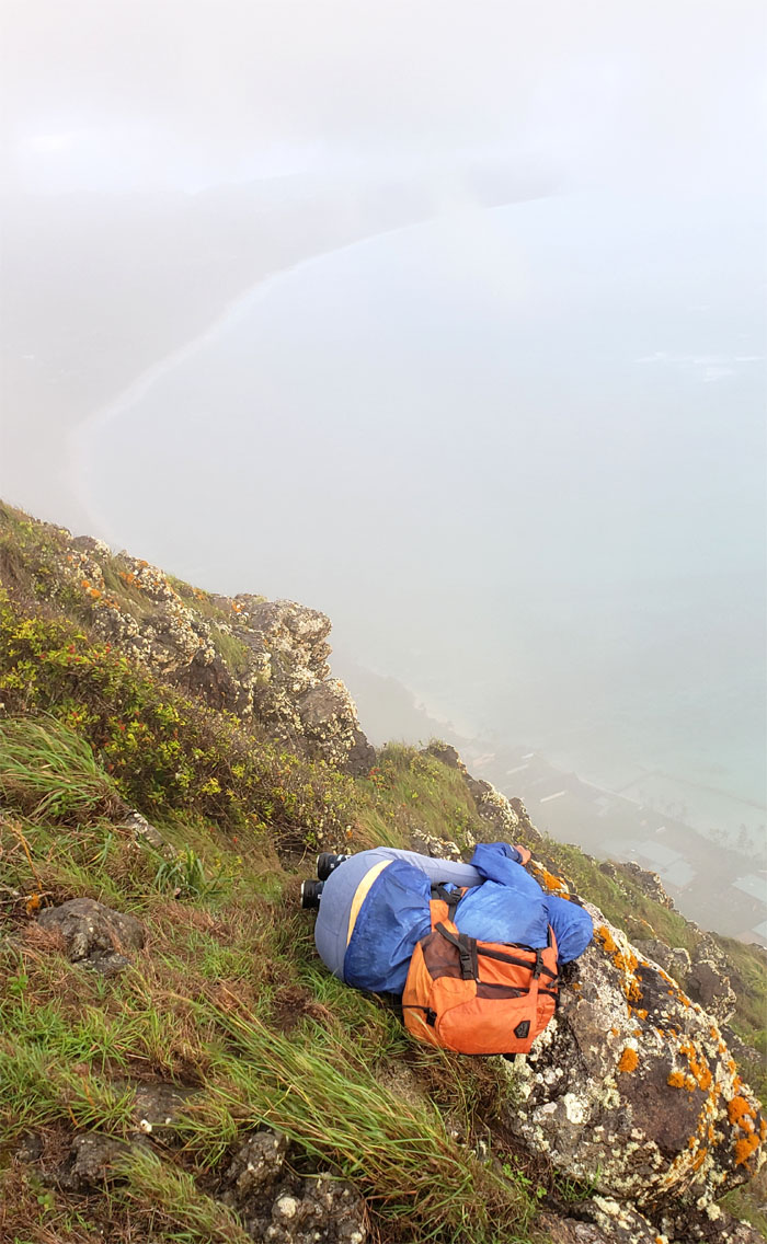
South Pole
The temperature must be dropping as somebody assumed the fetal position.
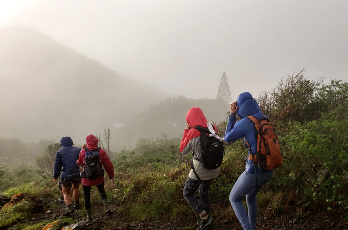
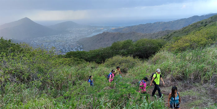
KSRT
It soon rained on our parade.
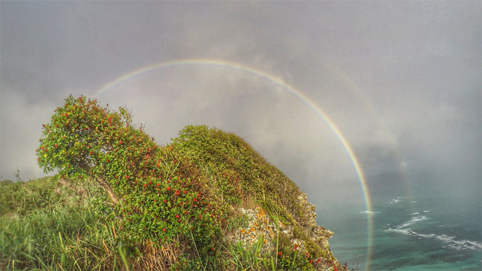
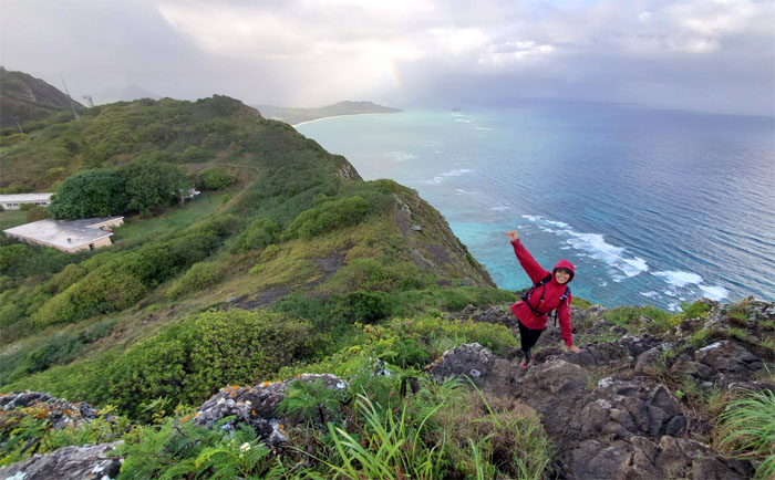
Reflection, refraction and dispersion
Rainbows followed the rain. No sign of any purple dinosaur.
Hang gliding platform
Lilyn still looking for that hang gliding ride. Photo by Aida Gordon.
KSRT
What goes up … Photo by Aida Gordon.
KSRT
… must come down.
KSRT
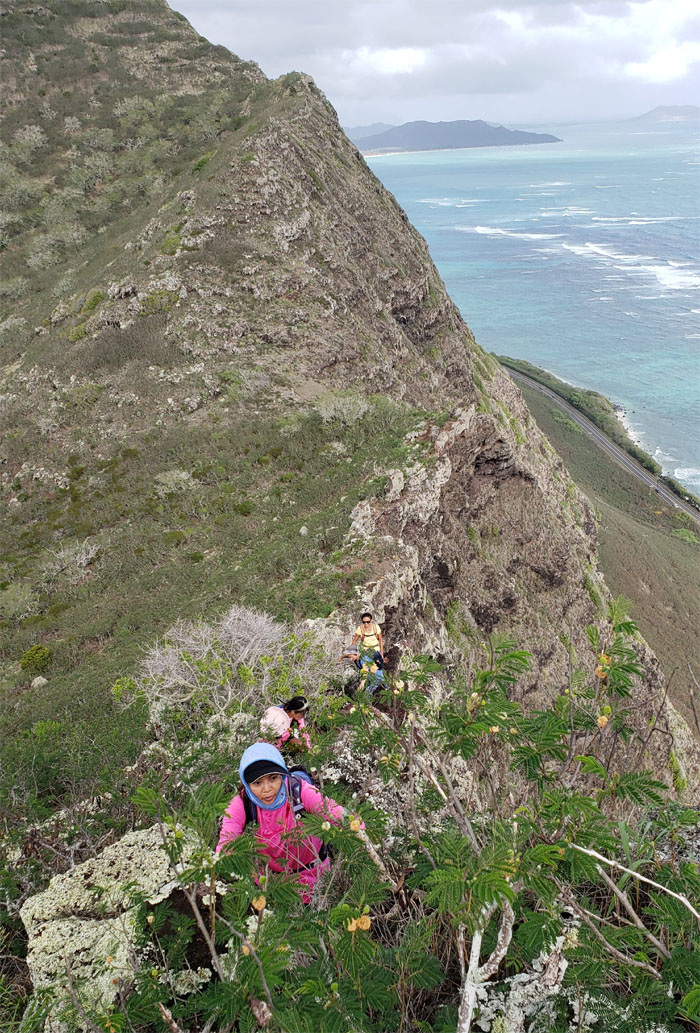
Scooting and scrambling down the rocky terrain. Photo by Aida Gordon.
KSRT
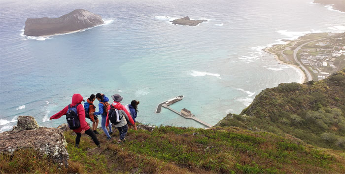
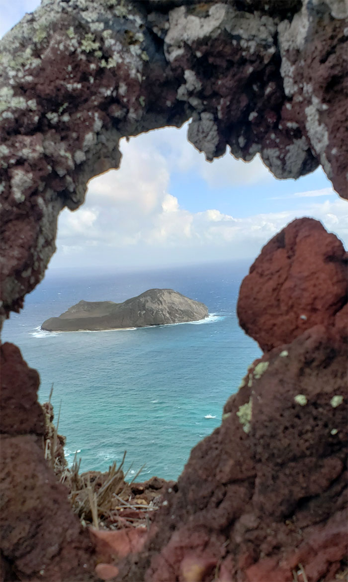
Dropping down to the hole in the mountains. Photo by Lilyn Avendano.
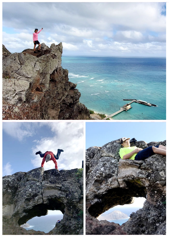
Makapu’u Puka
Cartwheeling, lounging and standing around.
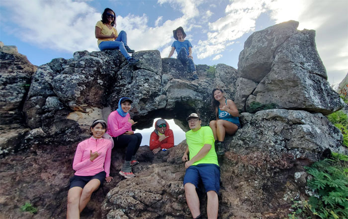
Makapu’u Puka
Group photo top row, left to right: Lilyn and Angela. Bottom row, left to right: Aida, Sally, myself, Art and Quan.
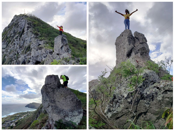
Hawaii Stonehenge
Climbing up rocks, the easy and hard way.
KSRT
Going up another hill. Photo by Aida Gordon.
Makapu’u Puka Jr.
Peeking through another small hole on the way up.
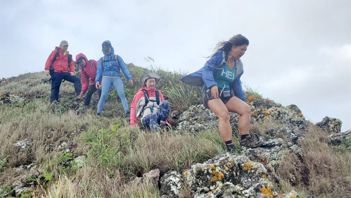
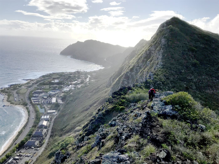
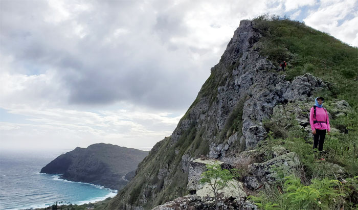
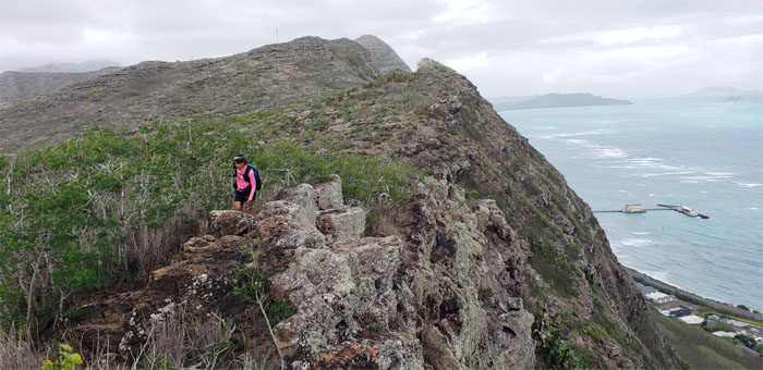
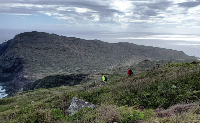
KSRT
Looking back as the rest of the group makes their way up. Photo by Quan Haberstroh.
KSRT
Scenic photo shoots.
KSRT
The shadow kicking somebody in the butt. More hiking, less photo taking. Photo by Quan Haberstroh.
KSRT
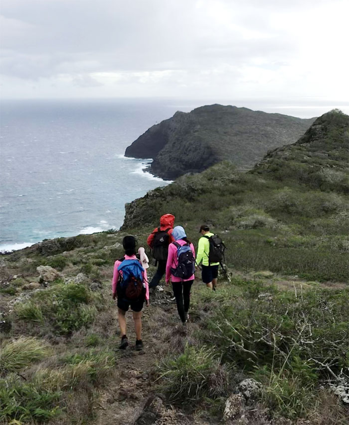
Following the rugged coastline as we made our way on the trail. Photo by Lilyn Avendano.
KSRT
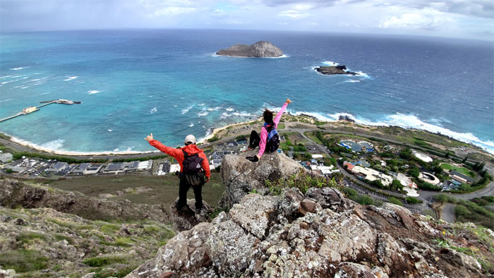
Panoramic view of Makai Pier, Manana Island, Kaohikaipu and Sea Life Park. Photo by Aida Gordon.

KSRT
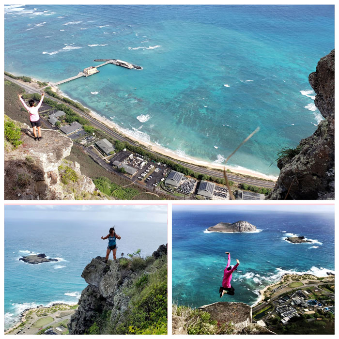
Stretching before my short jump. Missed it by that much.
KSRT
Aida making her way along the rocky edge of the cliff.
KSRT
The group making their way down towards the large and flat area for more photo shoots. Photo by Aida Gordon.
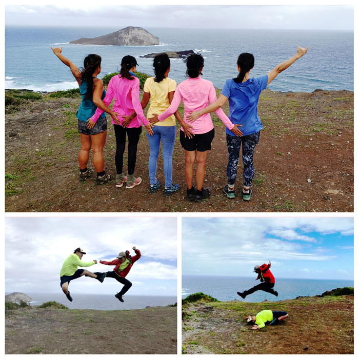
Stupid Human Tricks
Gender segregated butt squeezing, kung fu fighting and leaping over a supine hiker.
KSRT
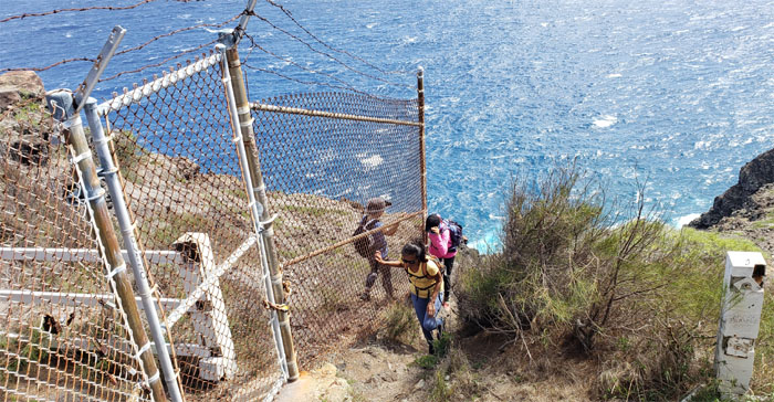
Sally bending with the fence as we made our way down and crossed the highway where we lost Quan who had to go in for work.
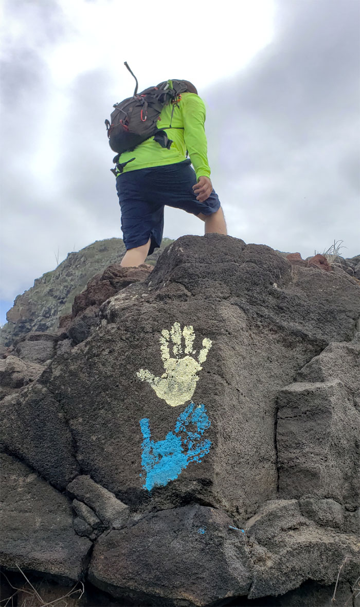
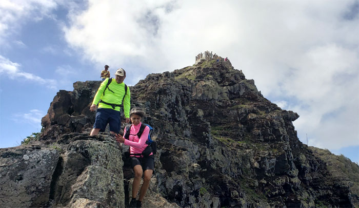
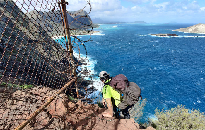
Hands Ten
Art climbing up the cliff side of the lookout.
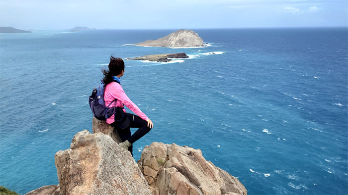
KSRT
Sally perched on top of the rock climbing crag looking out towards the buoyant island that was staying above the waterline. Photo by Aida Gordon.
KSRT
Angela and Sally stayed at the top while the rest of us made our way down to the lighthouse.
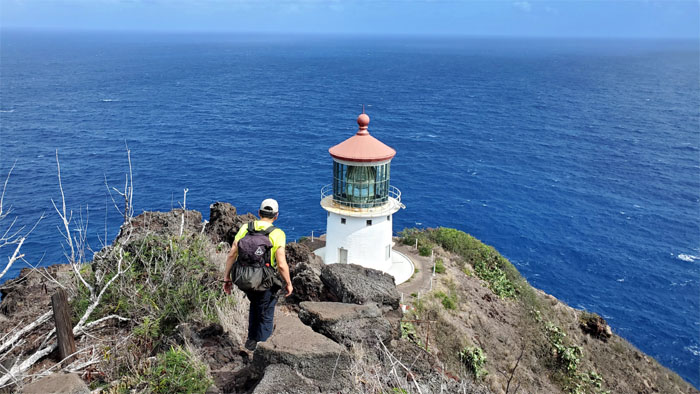
KSRT
Making our way down to the lighthouse that serves as an important navigation aid to the maritime commerce plying the waters around Hawaii. Photo by Aida Gordon.
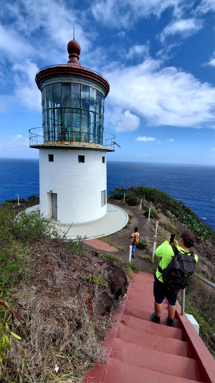
Makapu’u Lighthouse
Walking down the steps to the lighthouse that was constructed in 1909. Photo by Aida Gordon.
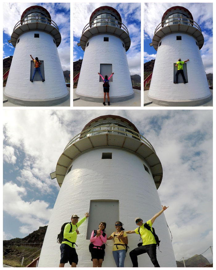
Makapu’u Lighthouse
Individual and group photos at the lighthouse that is home to the largest lens in the country that measures 12′ high and 8′ wide.
Makapu’u Lighthouse
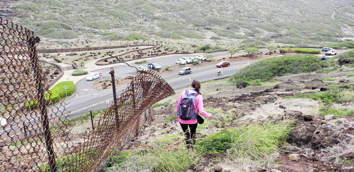
Contouring around the manmade obstacle. Photo by Art Young.
Makapu’u Lighthouse Trail
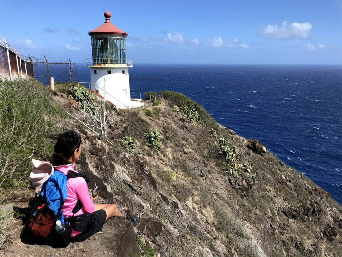
Looking back at the third highest lighthouse in the country that sits at an elevation of 420′. Photo by Lilyn Avendano.
Makapu’u Lighthouse Trail
The girls decided to take the lower trail, while we elected to take the higher trail.
All pau
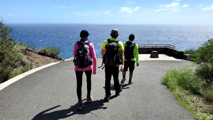
Walking out the two mile paved road and back to our cars. Photo by Aida Gordon.
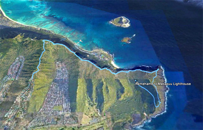
GPS Tracks
Our short hike covered 5.3 miles with fun friends. Post hike meal at Happy Days where Quan rejoined us for lunch. Tip: Don’t have a bunch of public school graduates try to figure out the collective bill, you might be there until closing.
Note: I have been made aware that some hikers have been using my blog as a hiking guide and getting lost on the trails. Please note that this blog was made to document the hike for the crew(s) that did it. That is why some of my comments will seem to have no relevance or meaning to anybody outside of the crew(s) that hiked that trail. My blog was never meant as a hiking guide, so please do not treat it as such. If you find inspiration and entertainment from these hikes, that is more than enough. If you plan on replicating these hikes, do so in the knowledge that you should do your own research accordingly as trail conditions, access, legalities and so forth are constantly in flux. What was current today is most likely yesterdays news. Please be prepared to accept any risks and responsibilities on your own as you should know your own limitations, experience and abilities before you even set foot on a trail, as even the “simplest” or “easiest” of trails can present potential pitfalls for even the most “experienced” hikers.
{ 2 comments… read them below or add one }
Thanks for a fun and relatively short and easy hike with the group! Finished when there was daylight withtime for a late lunch to boot!
Aloha Aida,
Thanks. Yes, it was unusual to see the sun so high up in the sky upon our finish. LOL.
Mahalo