

We decided to explore a new place for some and old hat for others. Thanks to Edgar for the suggestion.
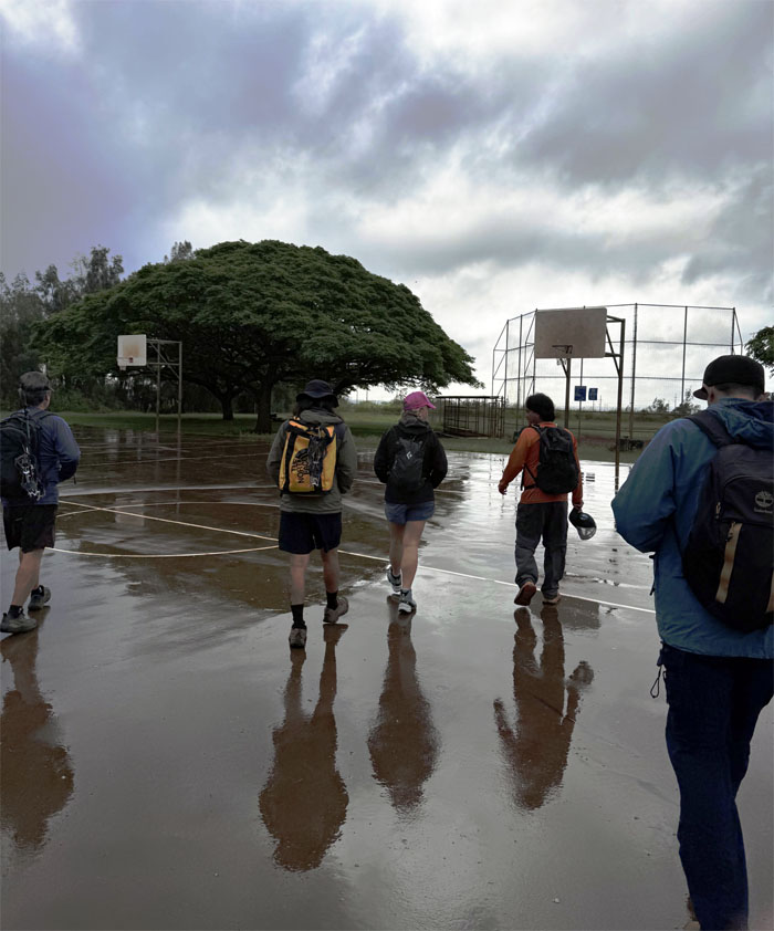
Noholoa Park
Met up at the neighborhood park that was built in the 1980s for the surrounding community.
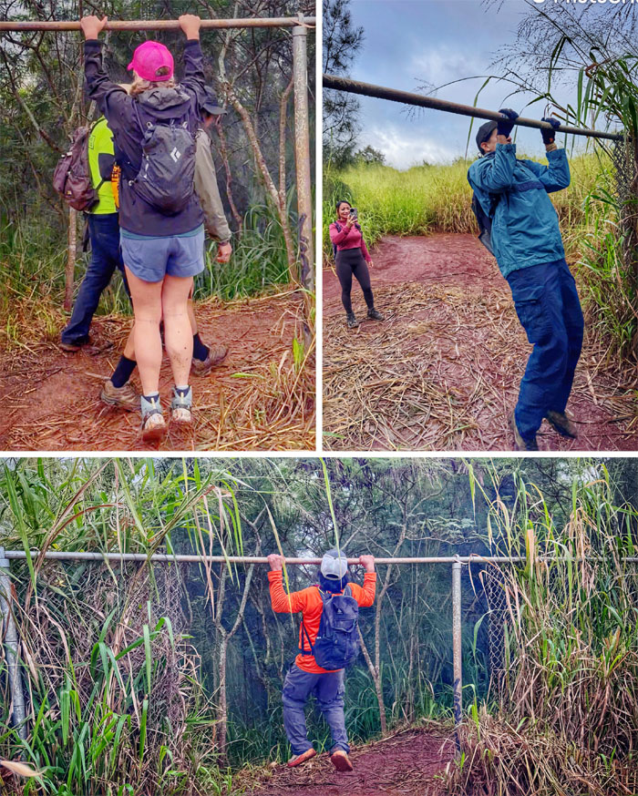
Noholoa Park
Price of admission to the gulch that means paved or placed prone was one pull up. The rest of us sneaked in.
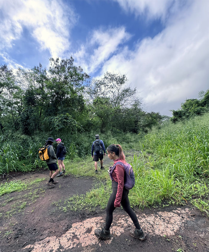
Kipapa Gulch
We took a detour through one of many roads and trails that crisscross the area. Thankfully we did not cross paths with the Huakaii Po or Night Marchers whose path intersects with that of the gulch, that was witness to a bloody battle in the 15th century that saw chiefs from Hawaii and Maui try to take over the land, but they were defeated and their skulls put on long poles to deter future aggression.
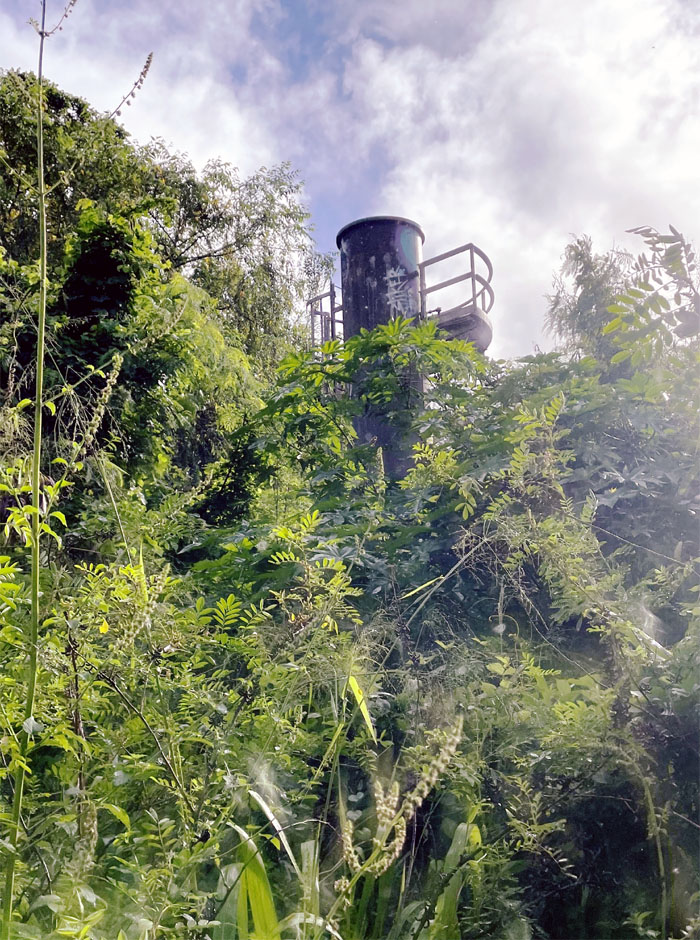
Kipapa Gulch
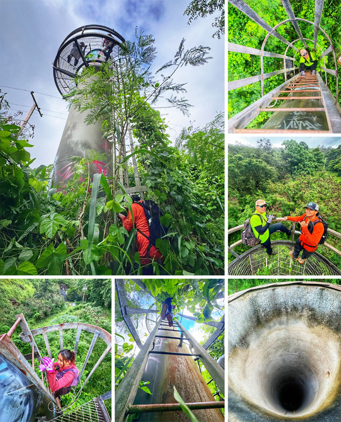
Can you see the tower for the overgrowth?
Kipapa Gulch
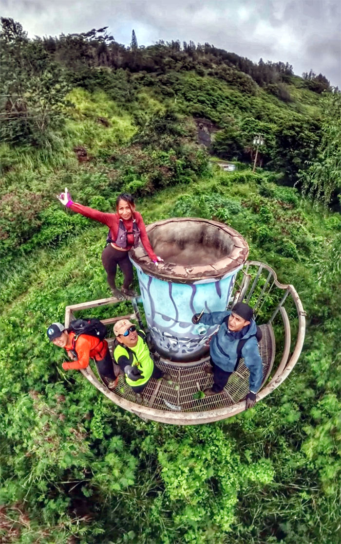
Climbing up the tower whose original function escaped us. Perhaps it was part of the system that supported the sprawling underground fuel storage.
Kipapa Gulch
Insta360 view above the forest.
Kipapa Gulch
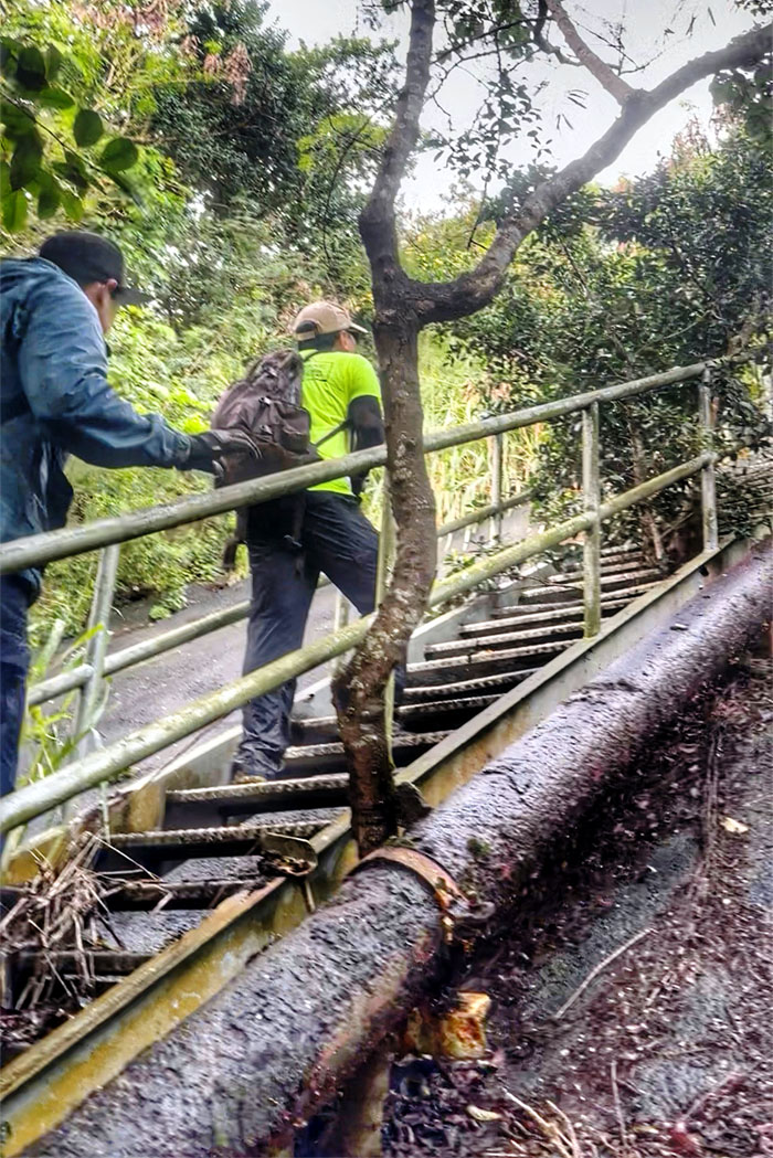
Climbing the stairs to …
Kipapa Gulch
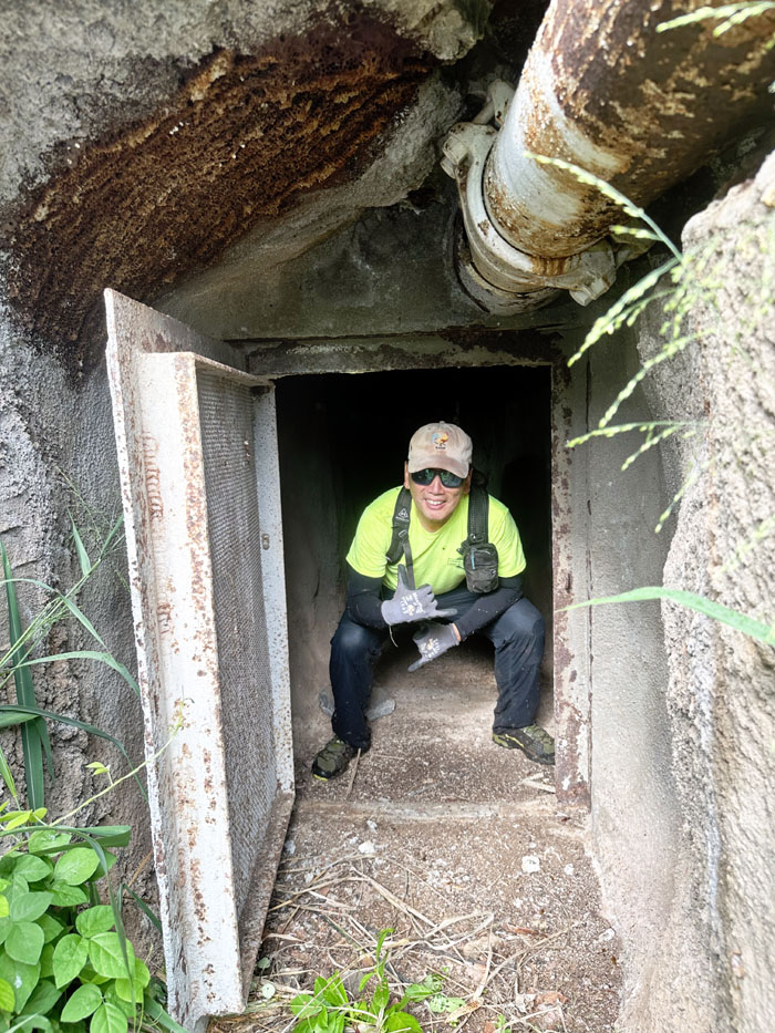
… an ant infested ventilation shaft.
Kipapa Gulch
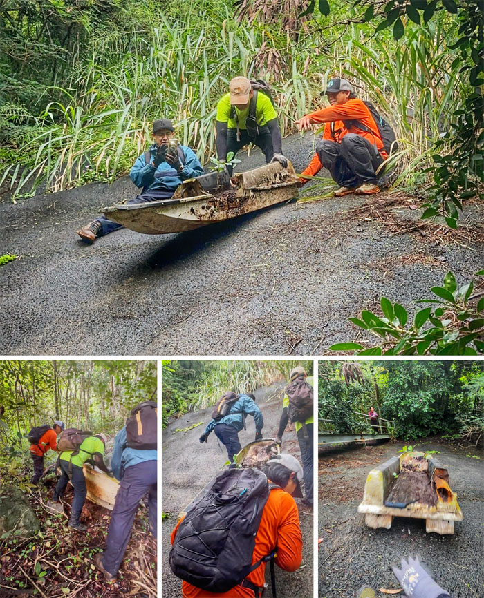
Dump, Pull, Push your boat. Gently down the hill.
Kipapa Gulch
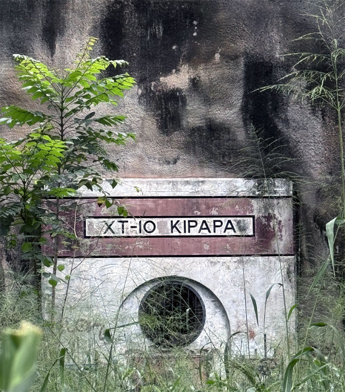
Passing by the exhaust vent for one of the munitions tunnels that honeycomb the gulch walls. Plantation train lines used to transfer the ammunition stores to and from the nearby Kipapa Airfield.
Kipapa Gulch
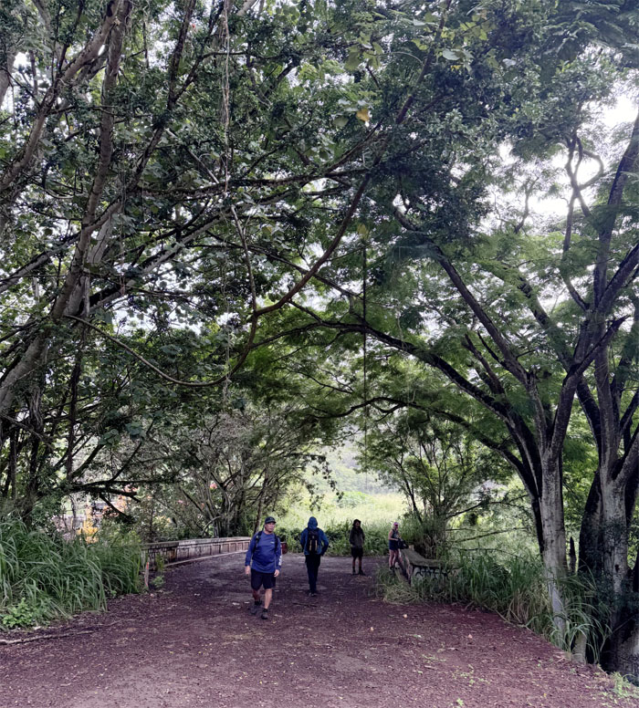
Joining back with the rest of the group that were waiting at one of multiple bridges that span the stream.
Kipapa Gulch
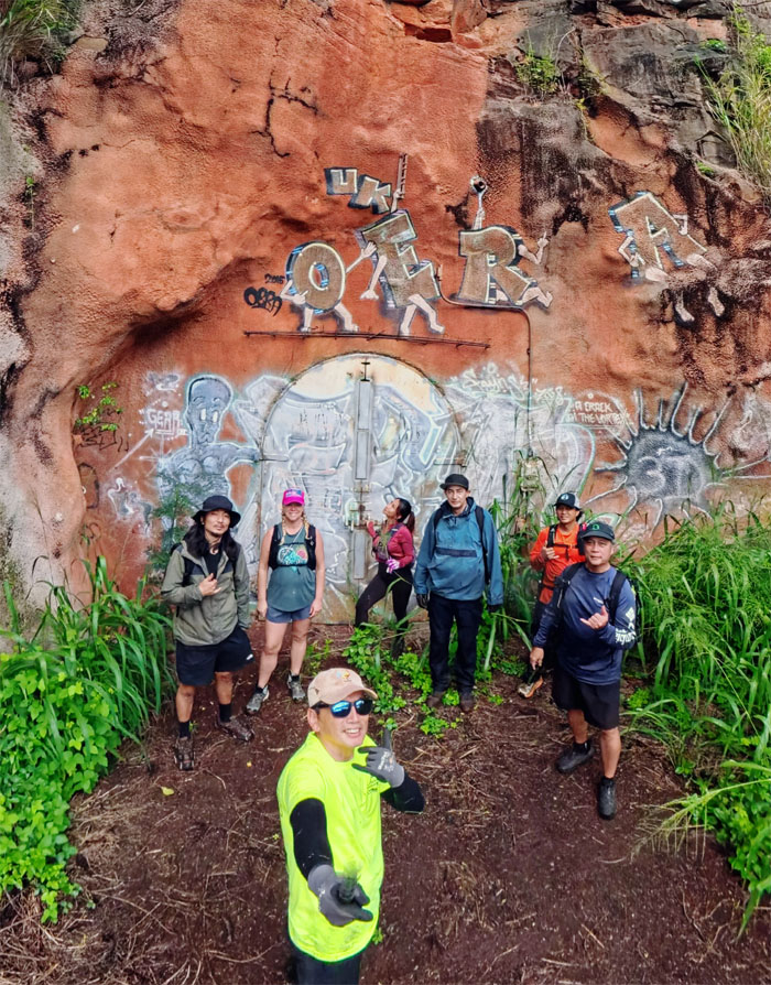
Group photo at one of many bunkers that were blasted into the mountains to store ammunition and ordnance.
Kipapa Gulch
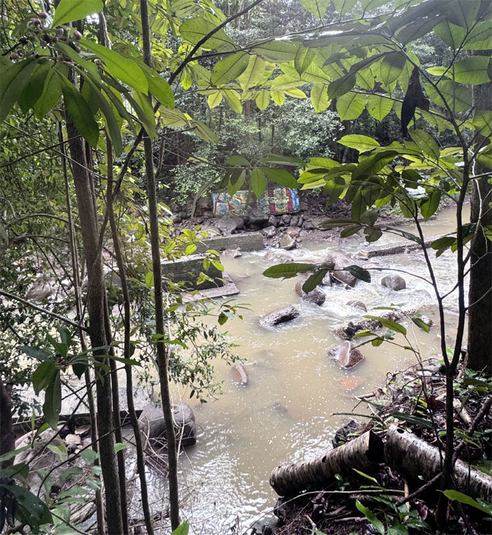
Working our way down to Kipapa Stream.
Kipapa Gulch
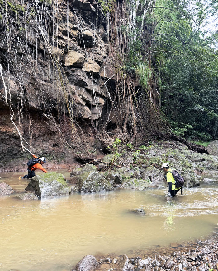
Somebody was waiting for me to go over my head. Sorry to disappoint.
Kipapa Gulch
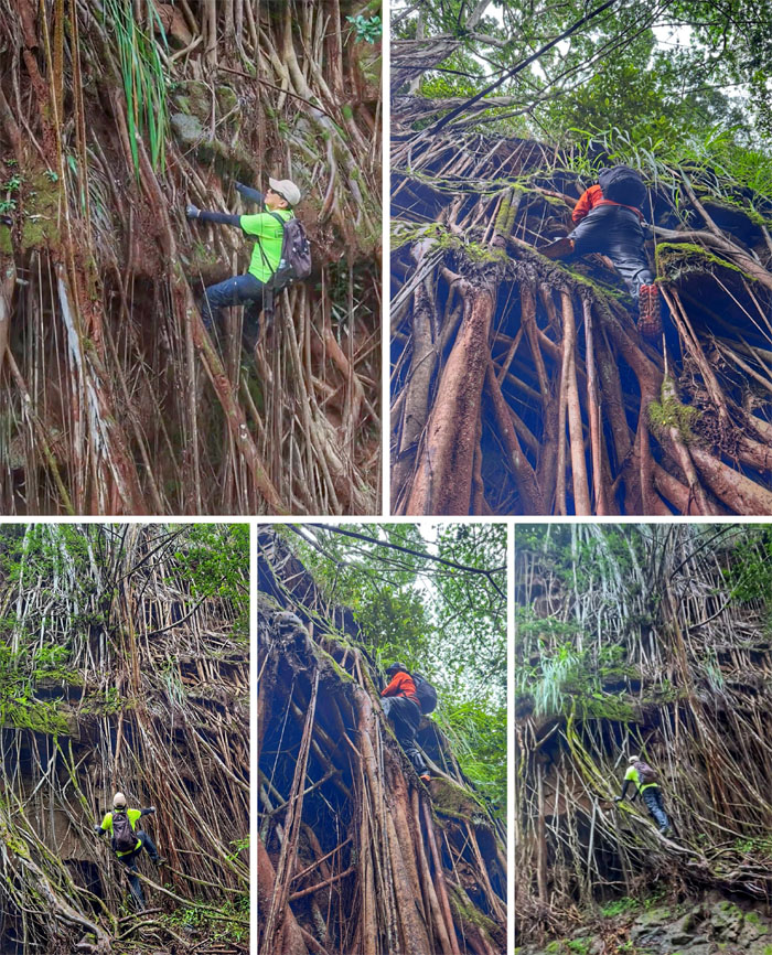
Climbing up the aerial banyan roots until we could climb no more.
Kipapa Gulch
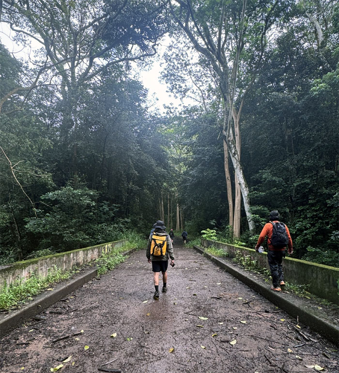
Traversing over another bridge.
Kipapa Gulch
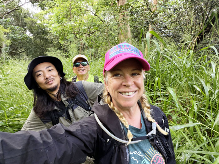
All smiles in the California grass.
Kipapa Gulch
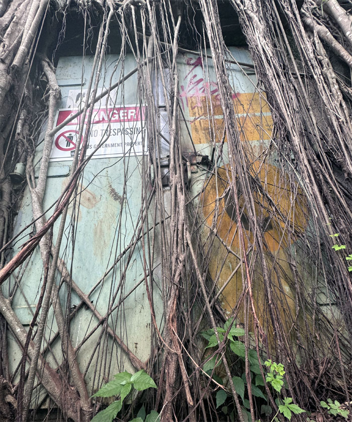
One of 77 ammunition bunkers in the area that was used during WW2 and the Cold War until the Navy terminated the bunkers in 1993. This particular bunker was not only welded shut, it was also rooted shut.
Kipapa Gulch
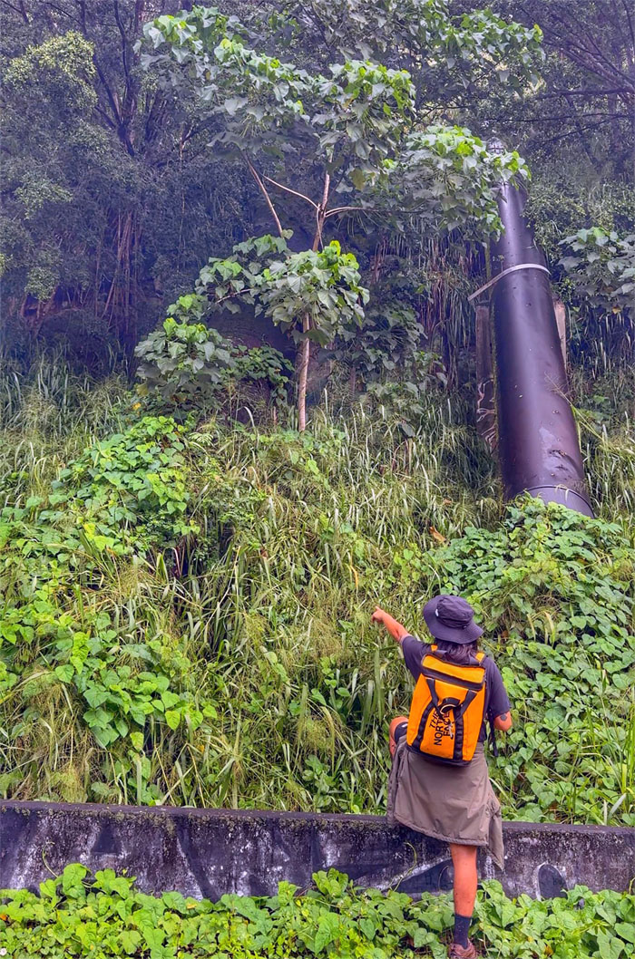
Kenny pointing to the partially hidden original 6′ diameter pipe that was built in 1913 by the Waiahole Water Company to carry water from the Windward side to irrigate sugarcane fields in the Central plains. The replacement pipe to his right was installed in 2014.
Kipapa Gulch
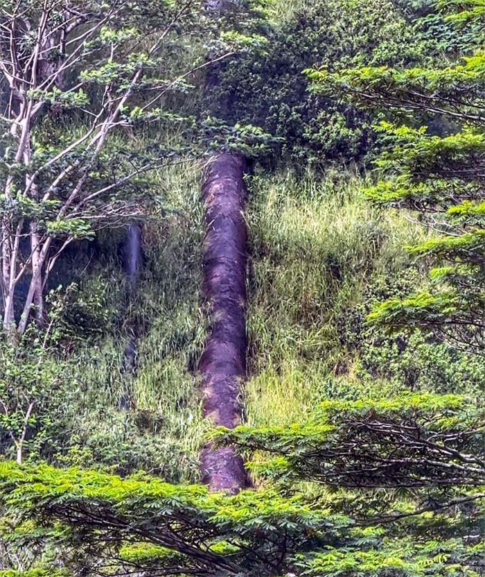
Looking across the gulch as the pipe runs up the steep walls, water flowing through the pipes uses hydrostatic pressure to push itself up the pipe and to its destination.
Kipapa Gulch
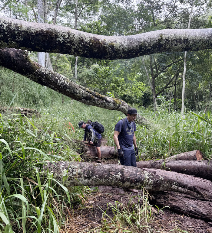
Navigating through one of many blowdowns in the area.
Kipapa Gulch
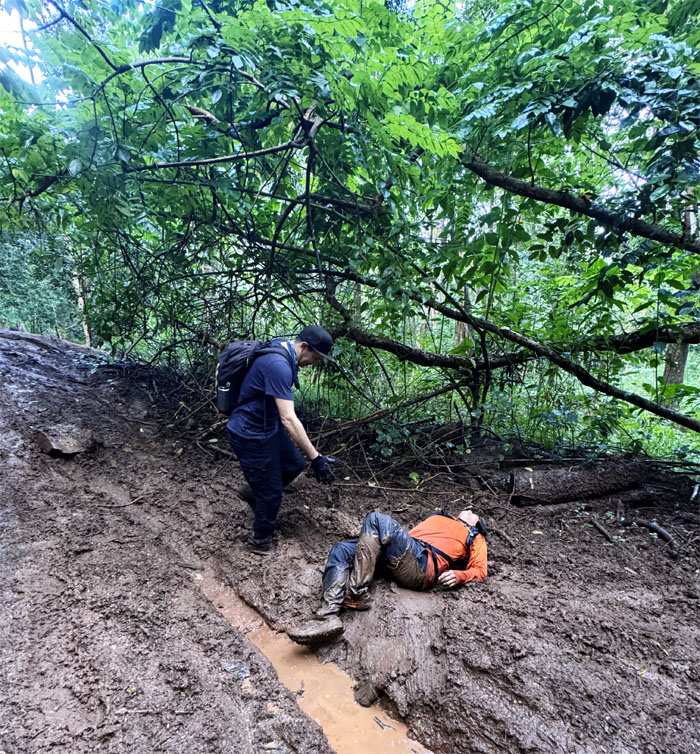
Man down! Most of the trails were a muddy mess.
Kipapa Gulch
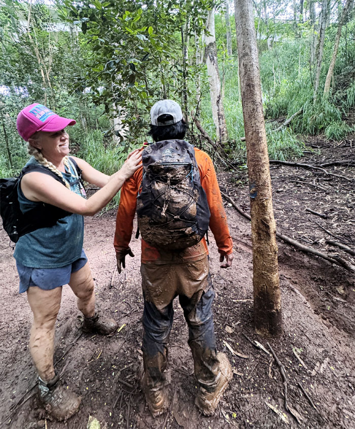
Allison wiping her dirty hands on CB, what’s a little more mud?
Kipapa Gulch
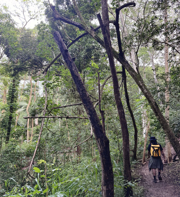
We hiked up a steep and muddy hill to access the belly of the H-2 Freeway which started in the 1960s as a corridor to connect the military bases on Hawaii and was completed in the 1970s.
Kipapa Gulch
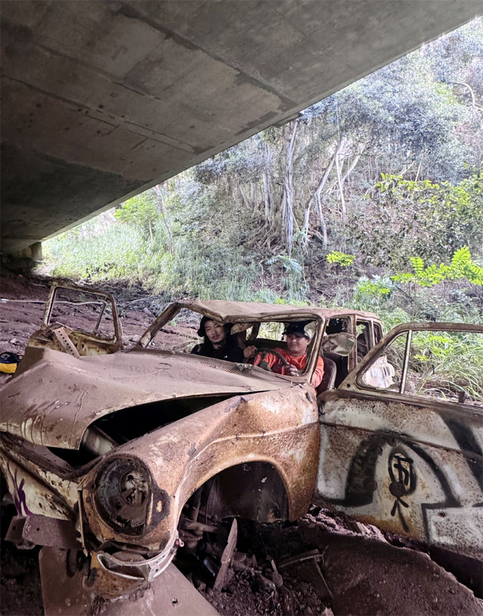
CB and Kenny test driving a pre-owned car. Not sure it’s certified.
Kipapa Gulch
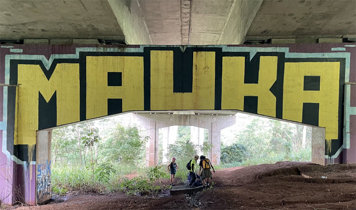
Local newspapers described H-2 as “Hawaii’s forgotten freeway,” as it escaped the controversy and activism that surrounded later projects such as the H-3 and Skyline.
Kipapa Gulch
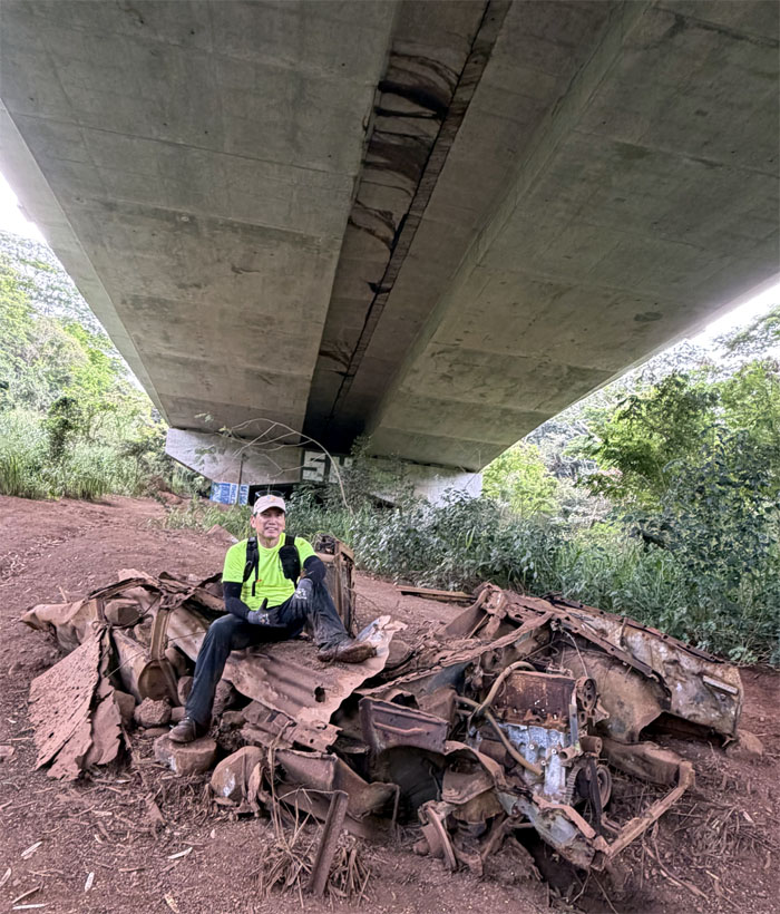
Not sure if this is a pile of junk or a pre-owned car. The distinction is blurry.
Kipapa Gulch
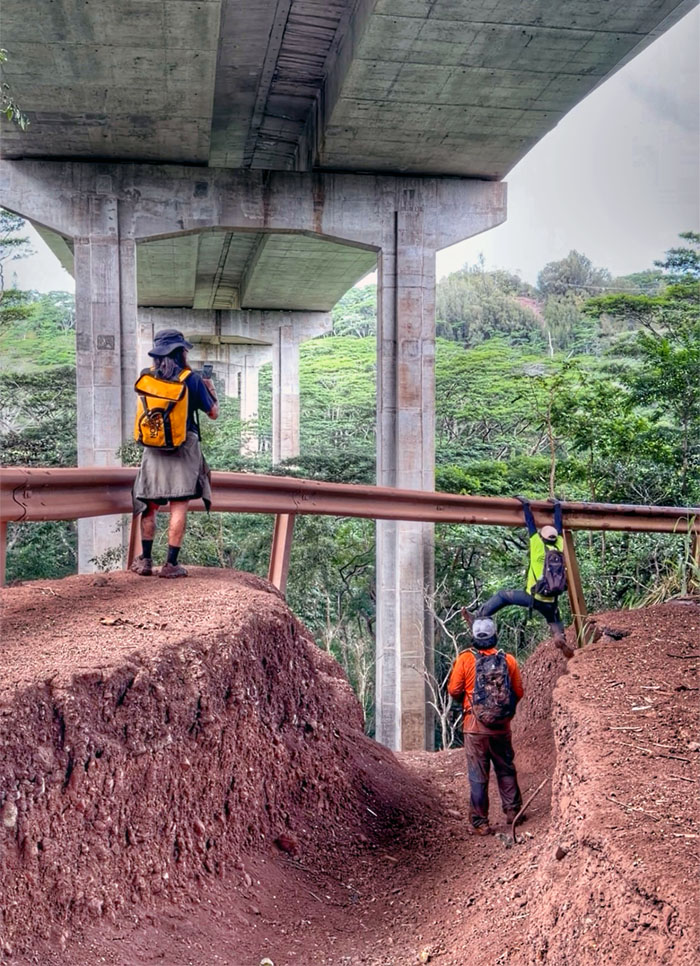
Climbing my way across the guardrail to the middle of the road. Fail.
Kipapa Gulch
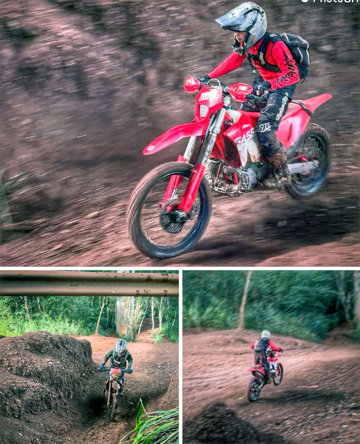
The distinctive high-RPM engines telegraphed the arrival of several motocross bikers tearing across the trails.
Kipapa Gulch
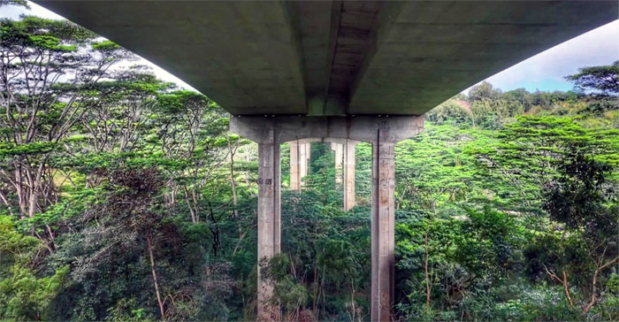
Drone view of the underside of the freeway which directly contributed to the development of the Waipio and Mililani residential communities.
Kipapa Gulch
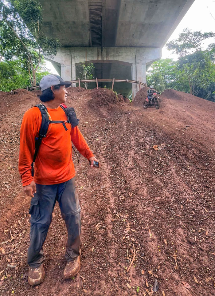
Who will get to the bottom of the hill first?
Kipapa Gulch
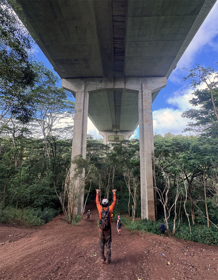
Erik assured us that this way was the way back. Some of us didn’t want to engage in extracurricular walking as they had church services later in the day.
Kipapa Gulch
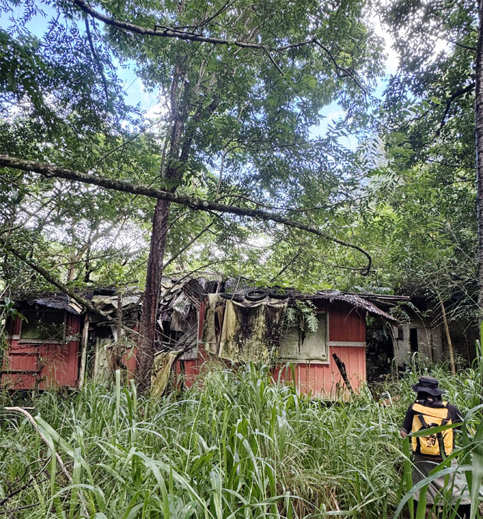
Checking out the open house.
Kipapa Gulch
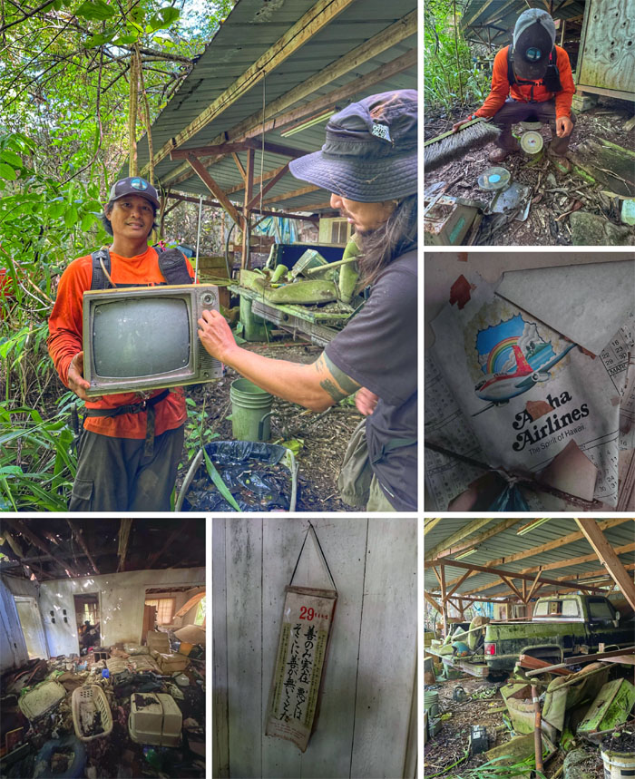
Looks like this house was abandoned in the 1980s based on radiocarbon dating. Actually, there was a calendar left hanging on the wall.
Kipapa Gulch
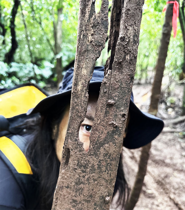
Eye in the Tree. Are we scared yet?
Kipapa Gulch
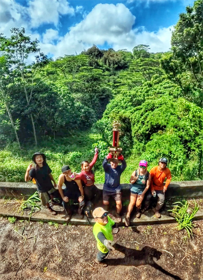
The Kipapa Motocross Not Ready for Prime Time Players.
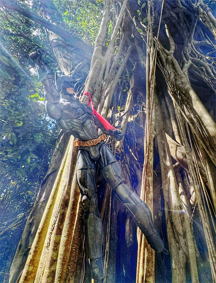
Kipapa Gulch
I’m Batman.
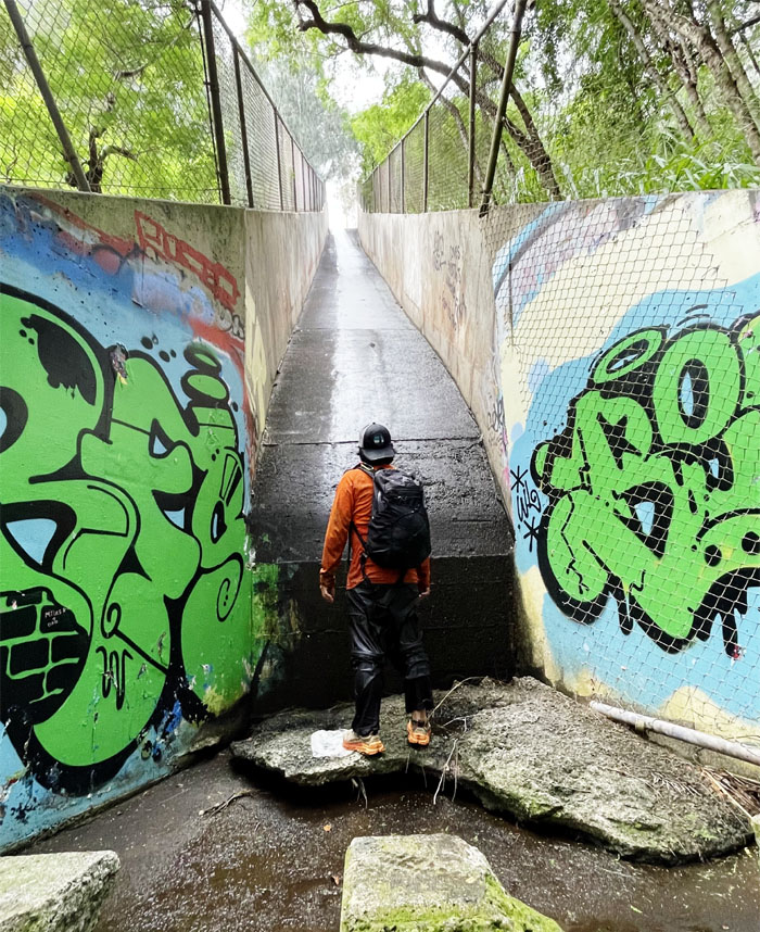
Kipapa Gulch
Some of us took the drainage ditch route.
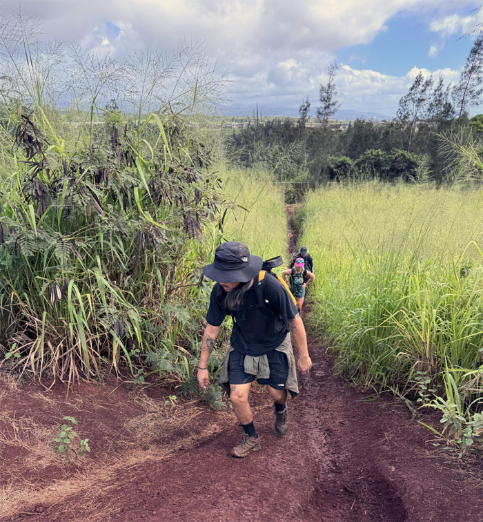
All pau
The rest of us took the same way back to our cars.
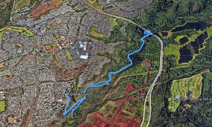
GPS Tracks
Our gulch hike covered six miles in mud and fun times. Post hike meal at Mililani BBQ where you get charged twice for the same meal.
https://www.youtube.com/watch?v=-GNB4OZ3ETc
Video by Edgar Gamiao of our hike.
Photos/Crew taken by Allison Banks, Chris Bautista, Edgar Gamiao, Erik Covarrubias, Kenny Lui, Penny Lou, and yours truly. Not necessarily in order.
Note: I have been made aware that some hikers have been using my blog as a hiking guide and getting lost on the trails. Please note that this blog was made to document the hike for the crew(s) that did it. That is why some of my comments will seem to have no relevance or meaning to anybody outside of the crew(s) that hiked that trail. My blog was never meant as a hiking guide, so please do not treat it as such. If you find inspiration and entertainment from these hikes, that is more than enough. If you plan on replicating these hikes, do so in the knowledge that you should do your own research accordingly as trail conditions, access, legalities and so forth are constantly in flux. What was current today is most likely yesterdays news. Please be prepared to accept any risks and responsibilities on your own as you should know your own limitations, experience and abilities before you even set foot on a trail, as even the “simplest” or “easiest” of trails can present potential pitfalls for even the most “experienced” hikers. One should also always let somebody know of your hiking plans in case something doesn’t go as planned, better safe than sorry.

{ 0 comments… add one now }