

We hiked an abbreviated version of the original plan but still put in decent mileage on today’s hike.
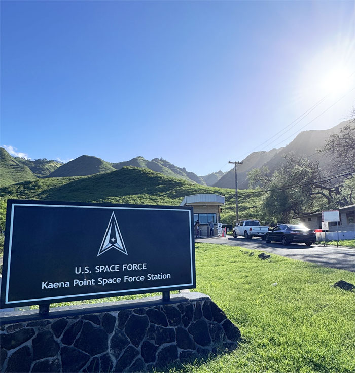
Kaena Point Space Force Station
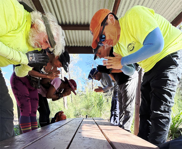
100% ID check in progress.
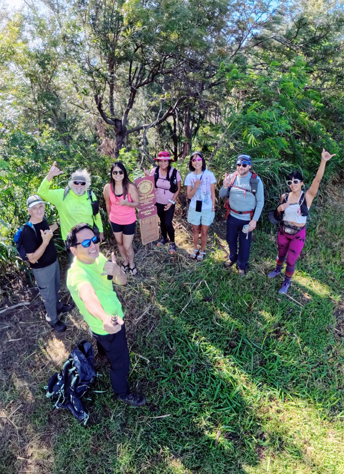
Kuaokala Trail
Thanks to Aida and Marilyn for dropping us off at the trailhead.
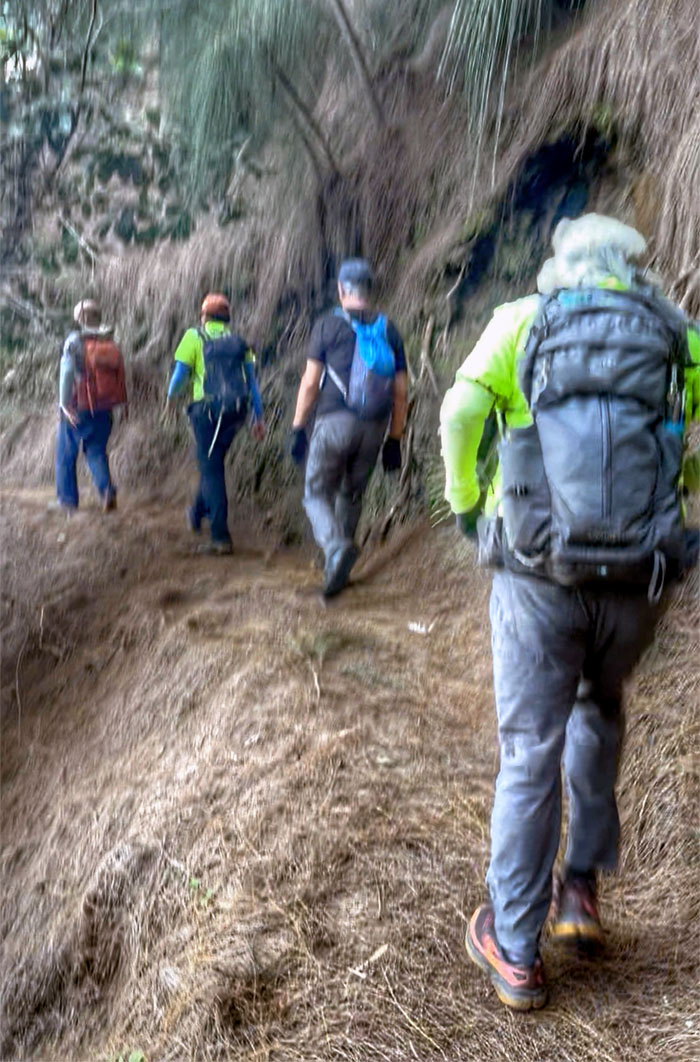
Kuaokala Trail
Making our way on the secluded trail where we only encountered one other soul on the hike who trailed us for a time before turning back.
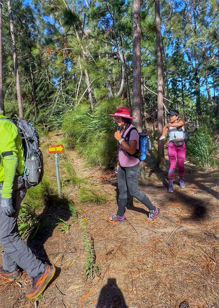
Kuaokala Trail
Is this the way? The arrow points the other way.
Kuaokala Trail
In memory of somebody’s favorite feathered friend, Mana.
Kuaokala Trail
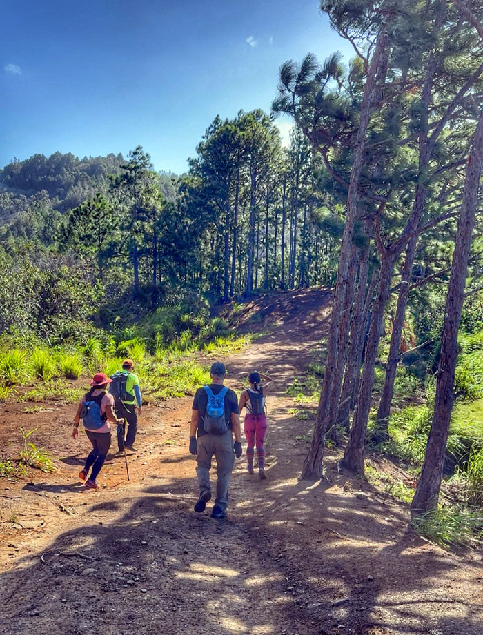
Pushing off on the wide jeep road bordered with pine trees.
Kuaokala Trail
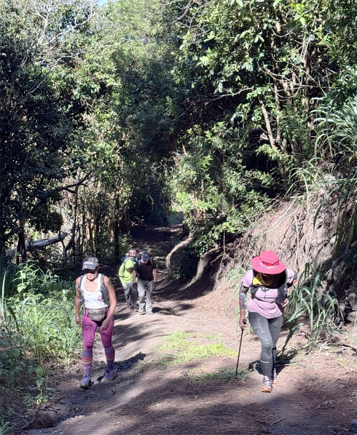
Hiking up one of many steep hills on the trail.
Kuaokala Trail
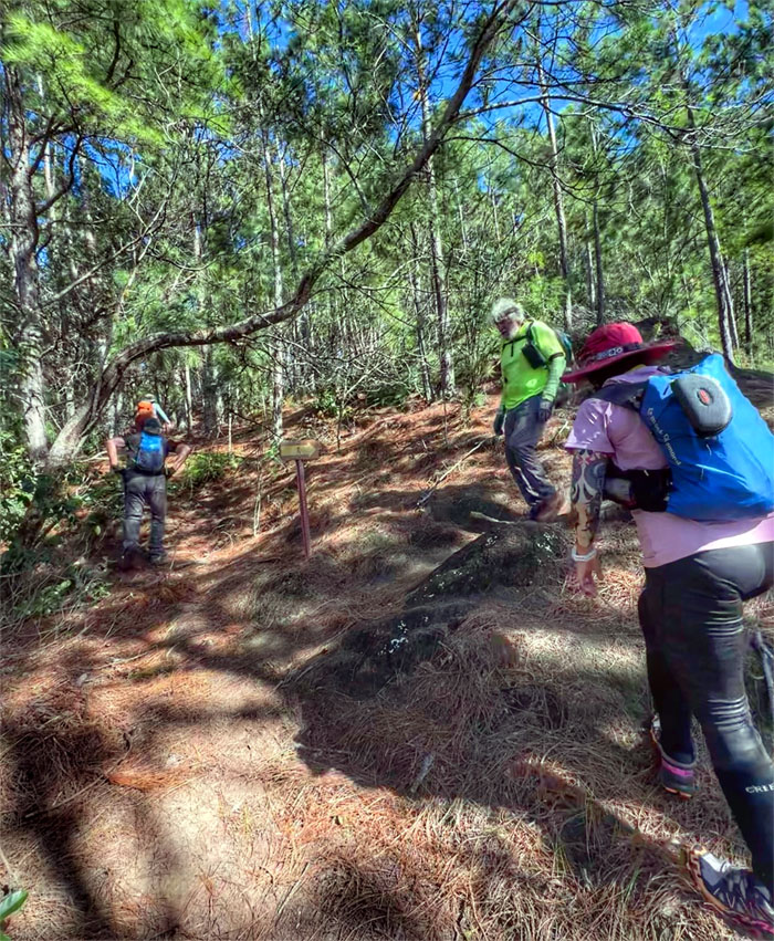
Jeremy wanted to show us a lesser known spot, some of us went and the others waited at the junction.
Kuaokala Trail
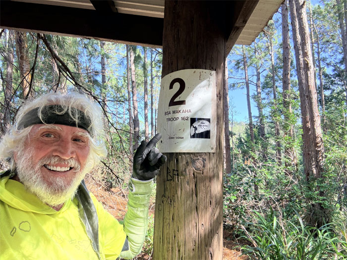
Chico marking the shelter at the top of the trail.
Kuaokala Trail
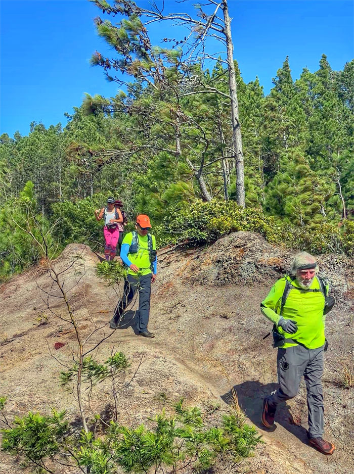
Back to our regularly scheduled program of hiking.
Kuaokala Trail
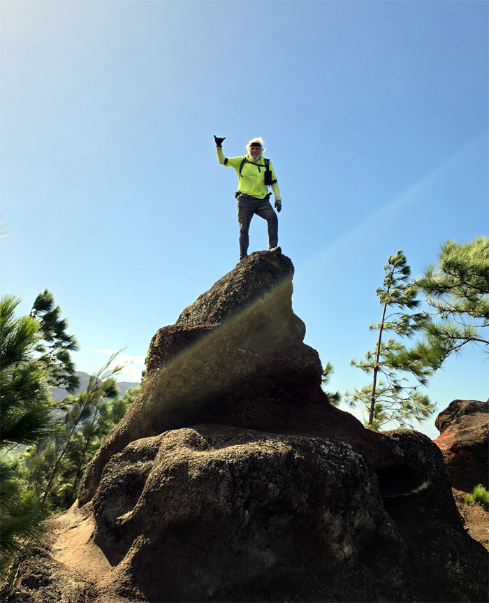
Chico making a deposit on the Doodoo Rock. Also known as Fin Rock or Amber Turd Rock.
Kuaokala Trail
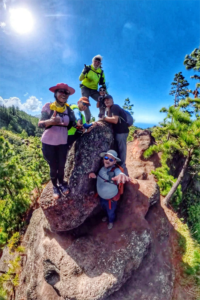
Group photo on the distinct brown colored rock formation as Jeremy finally came down from his favorite scenic spot.
Kuaokala Trail
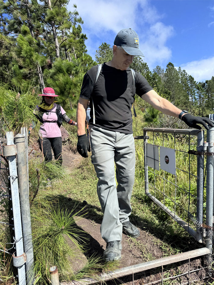
Our first contact with the fence line in the mountains. Not to be our last.
Kuaokala Trail
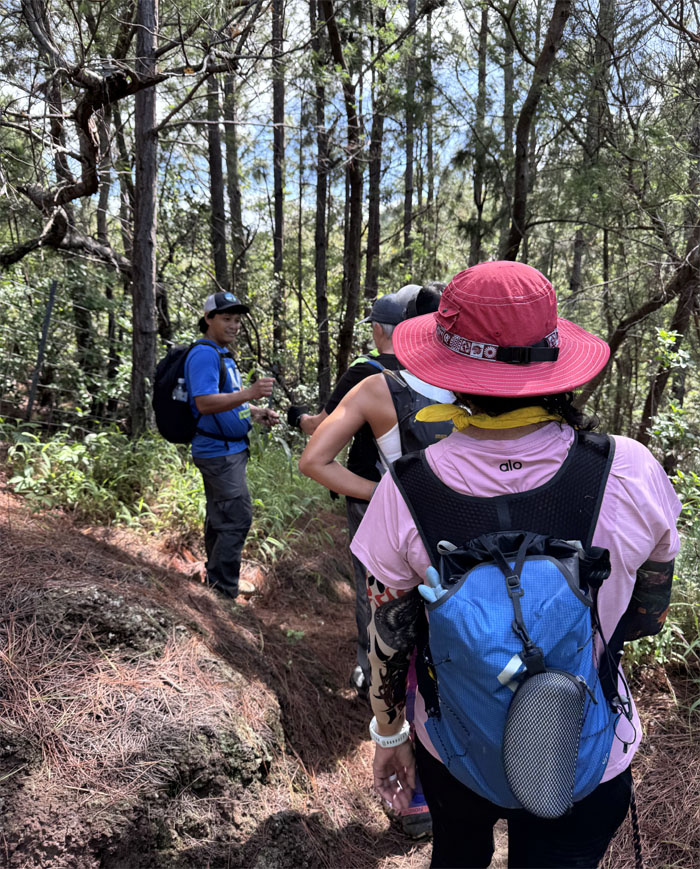
We soon crossed paths with CB who had come up from Kealia Trail to join the group.
Kuaokala Trail
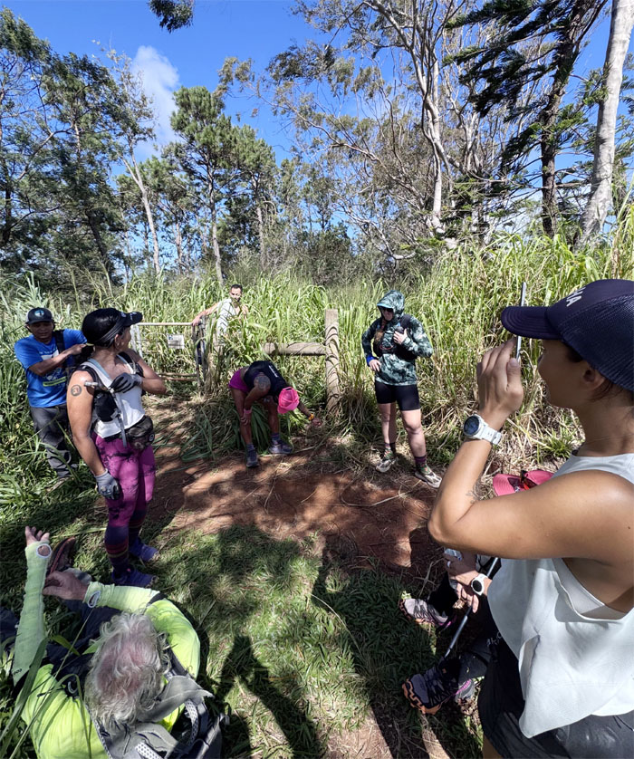
Break spot at the junction where three trail runners were canvassing the area for the upcoming Peacock Flats 50k or 50 mile trail run. No thanks, I’ll stick to hiking.
Kuaokala Trail
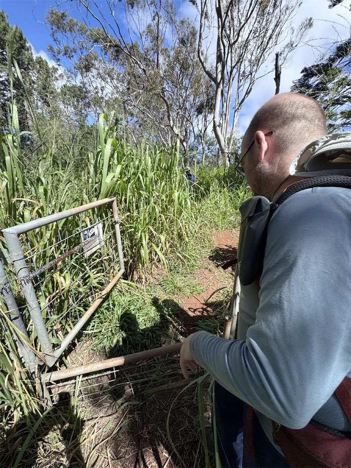
The original fenced way to the road was heavily infested with overgrowth, so we took the connecting road instead.
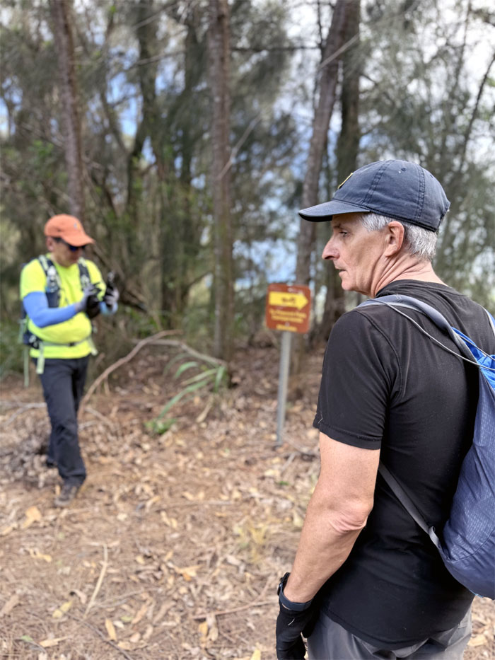
WST
Passing the junction where Kealia Trail intersects with the road.
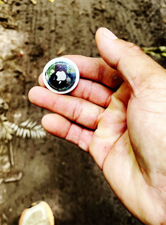
Waianae Summit Trail (WST)
Are we being tracked?
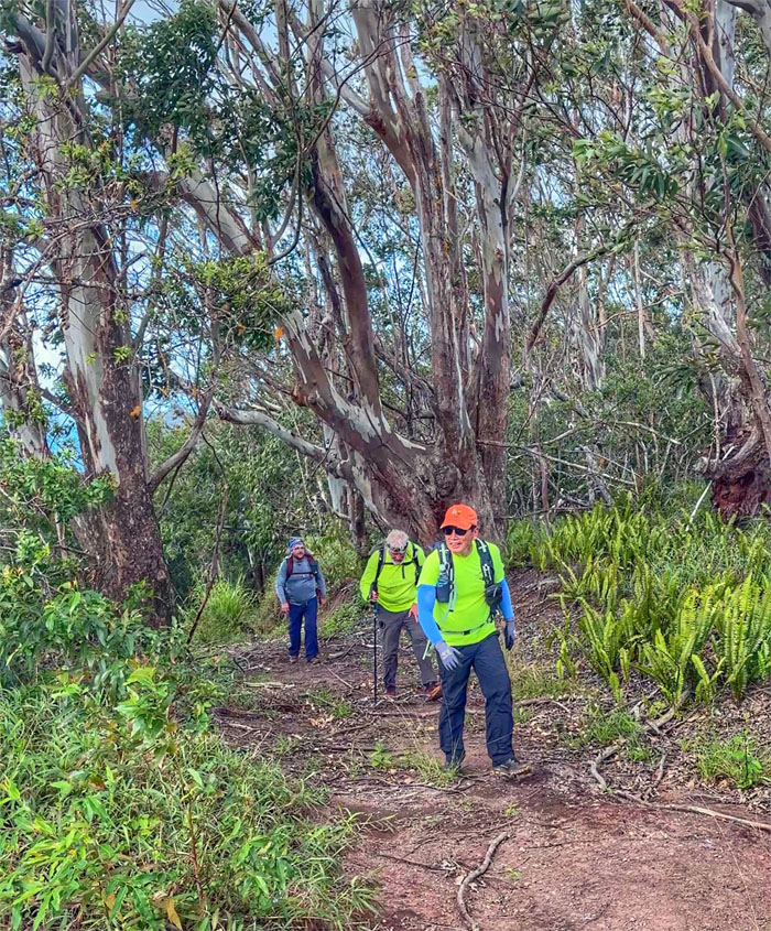
WST
Hiking up the steep road that was sprinkled with multiple blowdowns to connect to the fenced ridge line.
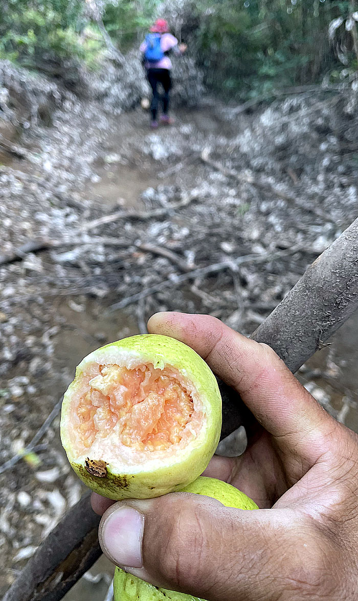
WST
Trail snacks to keep one nourished. A typical guava has roughly 38 calories packed into each fruit.
WST
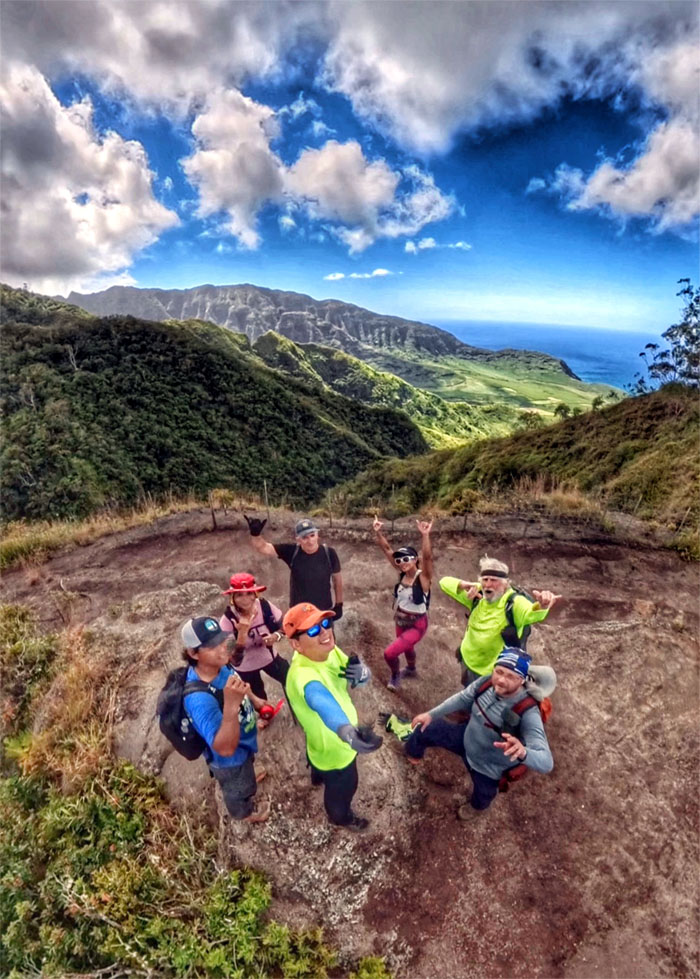
Scenic spot of Makua Valley, that was seized by the US Army in 1941 for training and assured the native families that after WW2 ended, that the land would be returned to them. Broken promises.
WST
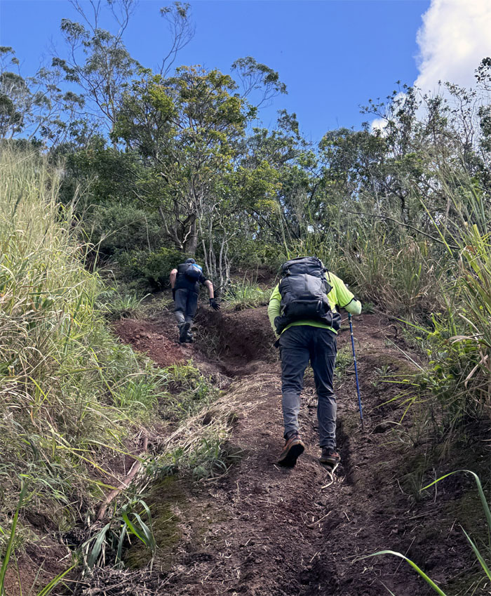
Hiking up the steep, rutted road while ignoring somebody’s pleas that there was a longer but easier contour trail to the right. Sounds like a Coastie.
WST
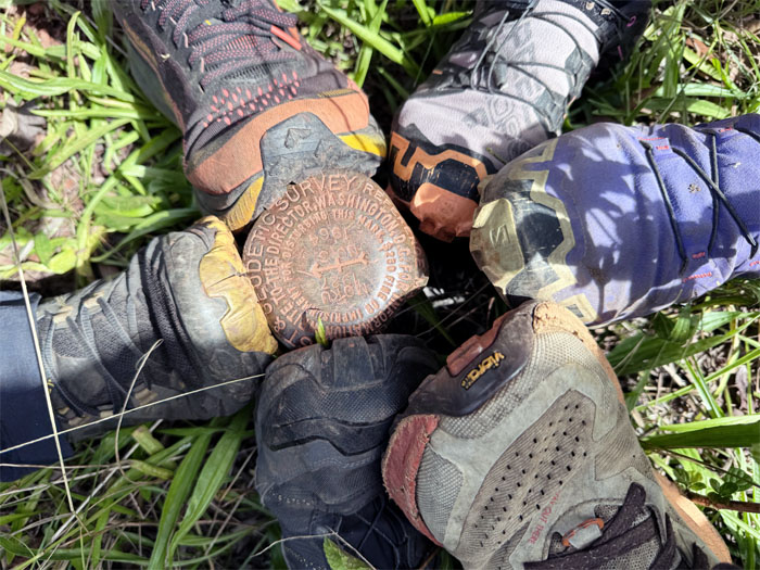
All shoes on the geodetic marker “Moku.”
WST
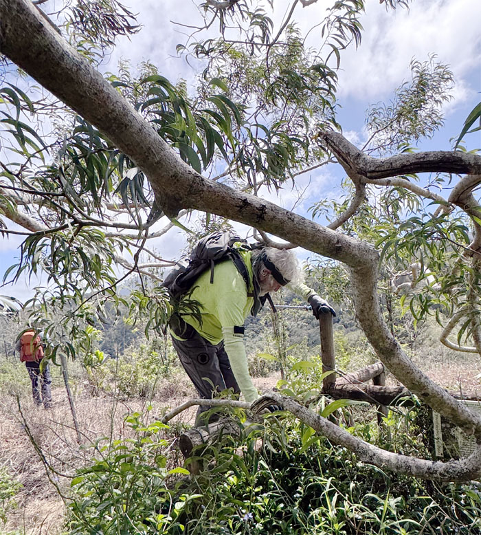
Chico going over one of multiple fence posts as we followed the trail.
WST
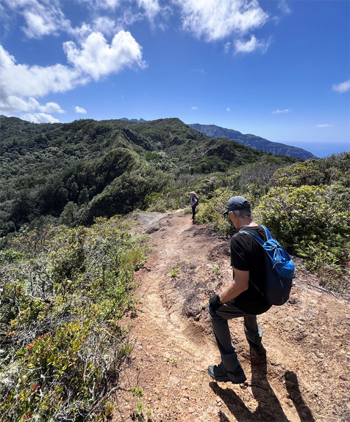
Hiking into part of the 685 acres of the Pahole Natural Area Reserve that was established in 1981 to help protect and preserve rare Hawaiian plants, animals and ecosystems.
WST
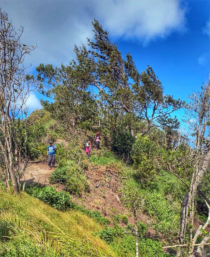
Making sure everybody stays on the same track.
WST
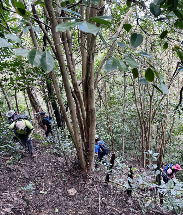
Switch backing our way up through the hill covered with fluttering ribbons and tinkling tags.
WST
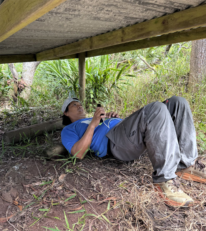
Chris rolling out the kinks in his back.
WST
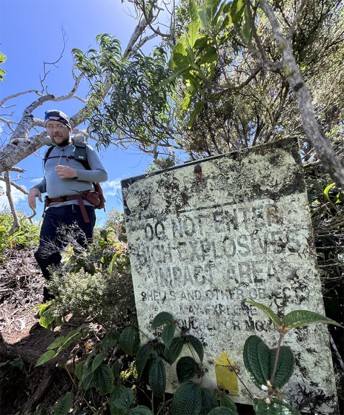
No worries. We have a Coastie with us in case of contact with any UXO. Oh wait, he’s a Marine. We’re screwed.
WST
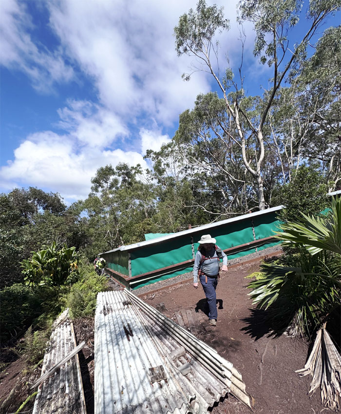
Passing one of the largest native snail habitats seen in the mountains.
WST
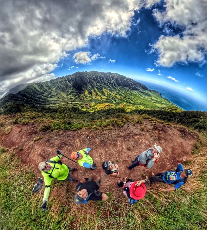
Another group shot of the valley that are home to over 44 endangered and threatened species of plants, birds and snails. The military lease expires in 2029 and there are talks that the military wants to terminate the lease early. Only time will tell.
WST
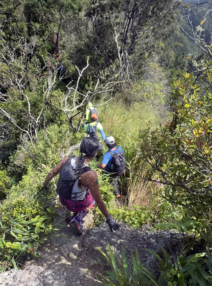
Following the fenced trail as it bordered the valley.
WST
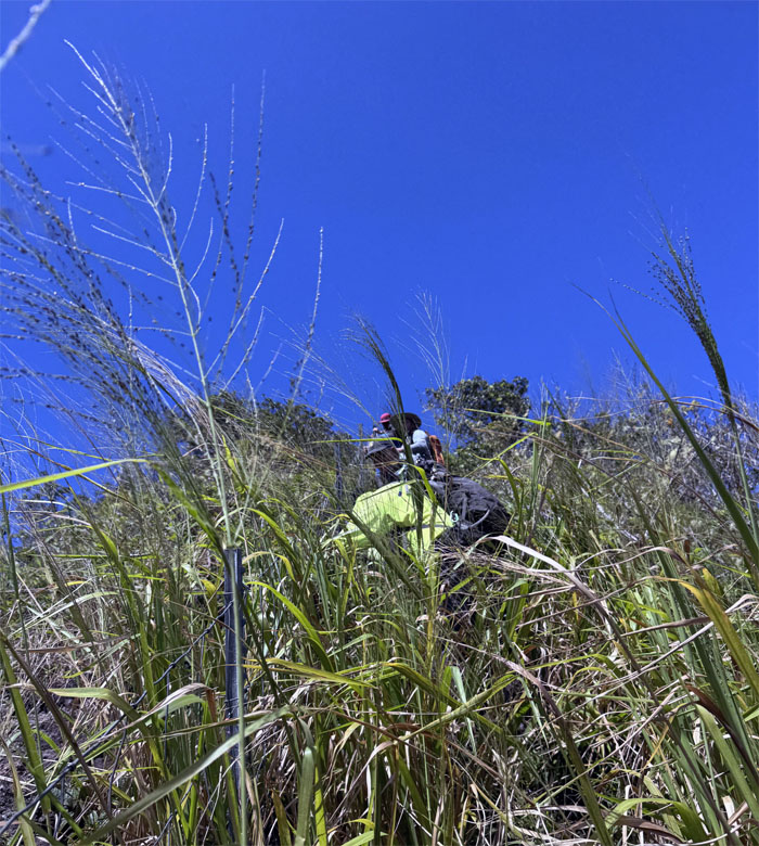
Somebody was trying to lead us astray. Somebody failed land navigation, despite doing this trail over 50 times. Wait, it keeps fluctuating like a body count.
Mokuleia Trail
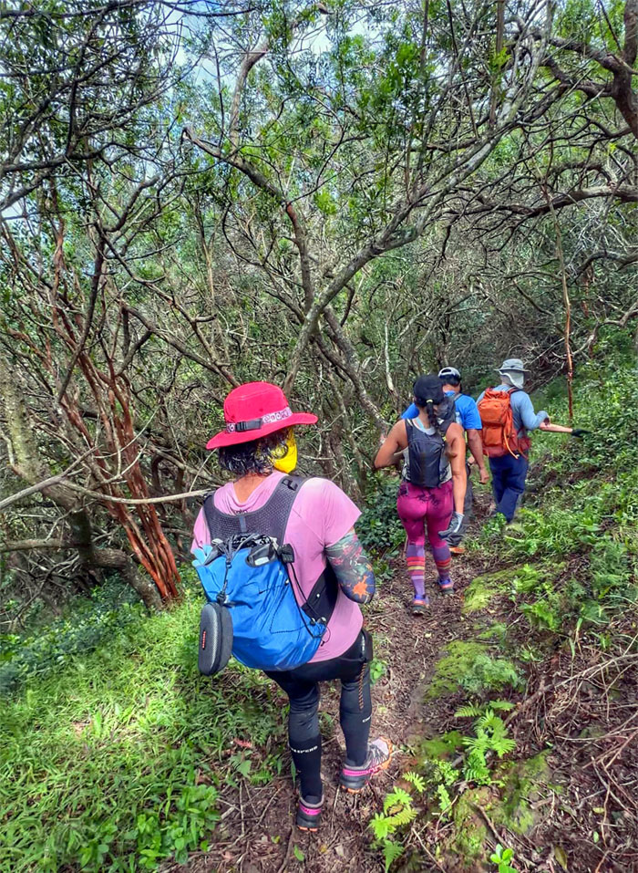
Leaving the Waianae Summit Trail for greener pastures.
Mokuleia Trail
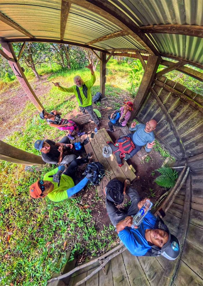
Eating under the shelter, no avocados or oranges for the picking.
Mokuleia Trail
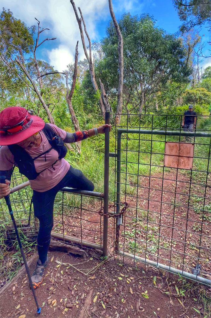
Leaving the Pahole Natural Area Reserve behind us as we closed the gate.
Mokuleia Trail
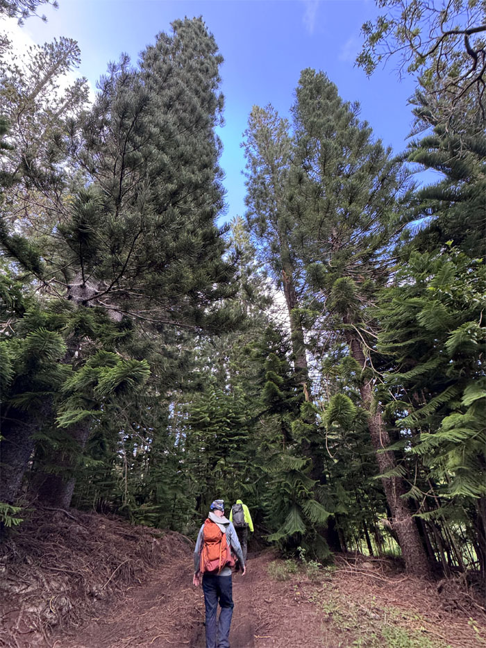
Walking underneath the swaying pine trees, that were planted in the area circa 1926.
Mokuleia Trail
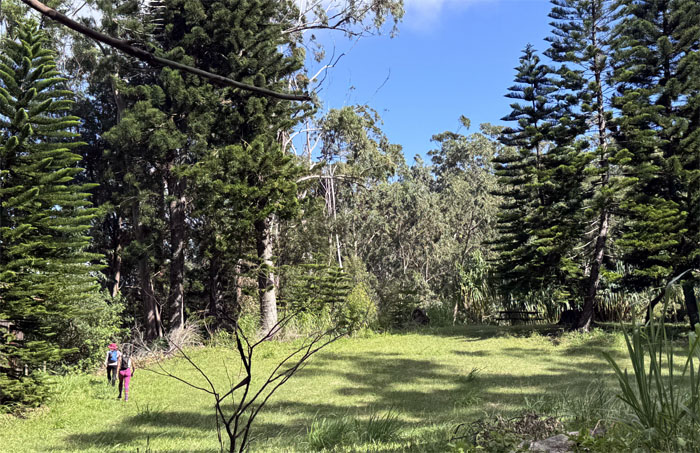
The girls decided to use the bathroom at the deserted Peacock Flats Campground.
Mokuleia Trail
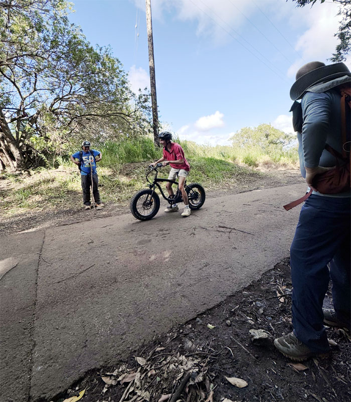
Is that our Uber? Can it fit seven? Looks like we are pounding the pavement.
Mokuleia Road
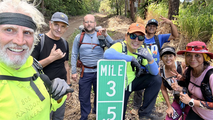
Group photo at the mileage marker, only 3.5 miles of asphalt between us and our cars.
Mokuleia Road
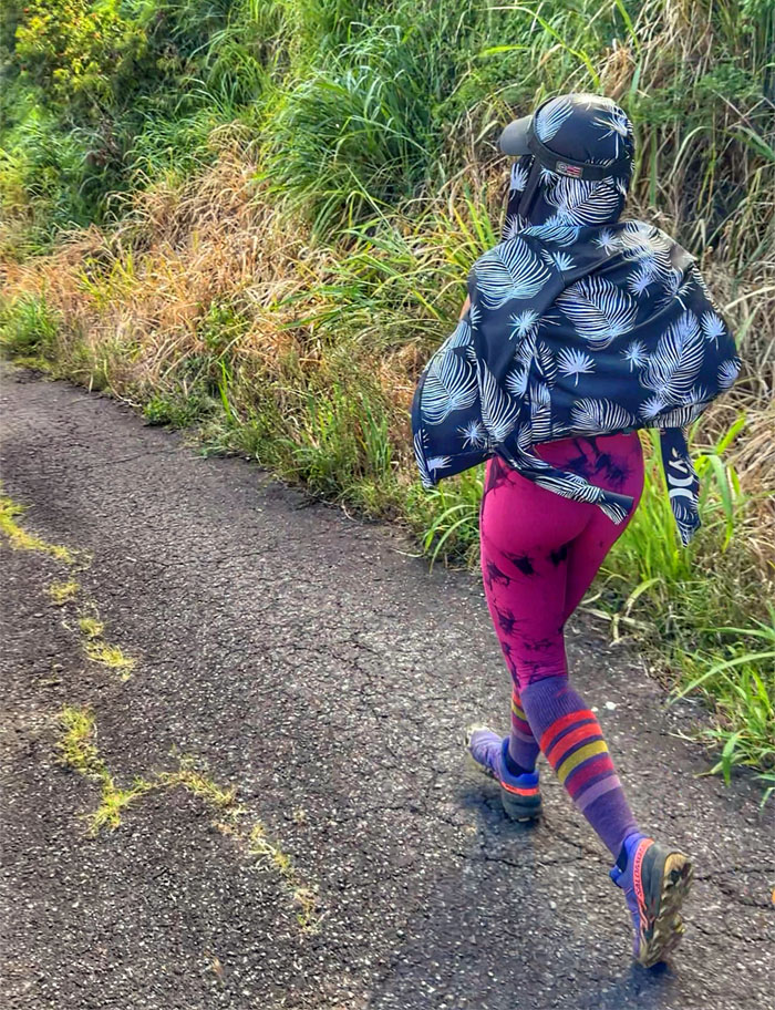
Why is everybody running? Where’s the fire?
Mokuleia Road
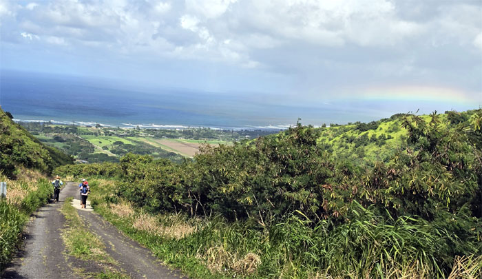
If you can’t walk, then might as well jog down the road.
Mokuleia Road
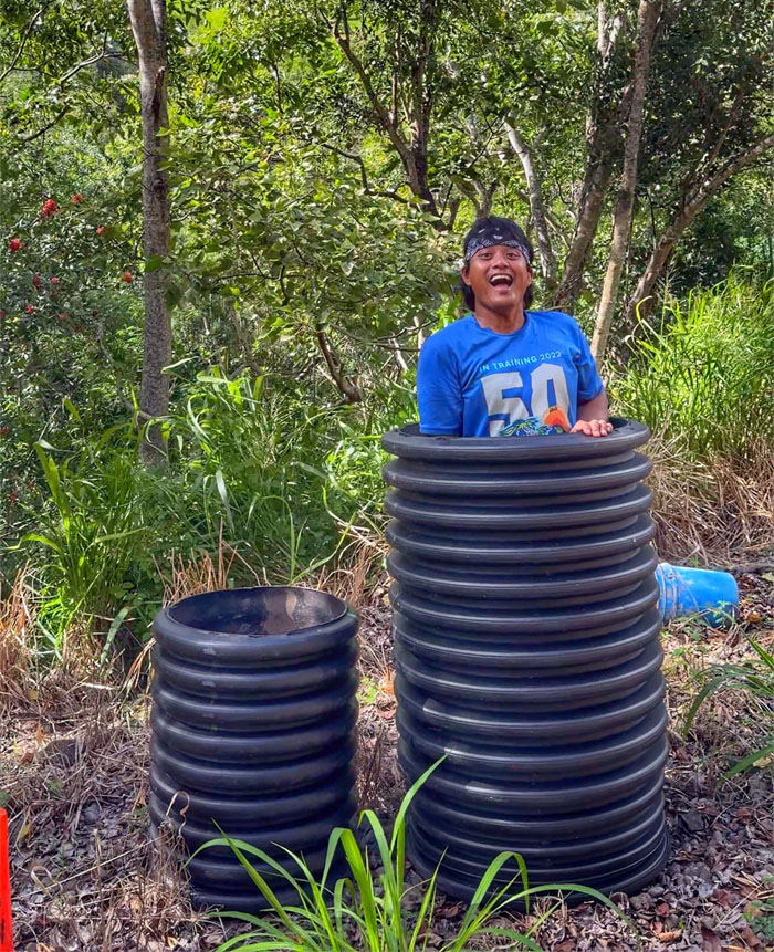
Chris in the Barrel. Are you scared? Are you not entertained?
Mokuleia Road
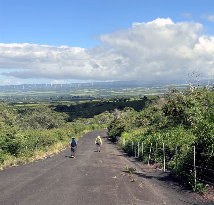
The road soon leveled out, enough of this running nonsense.
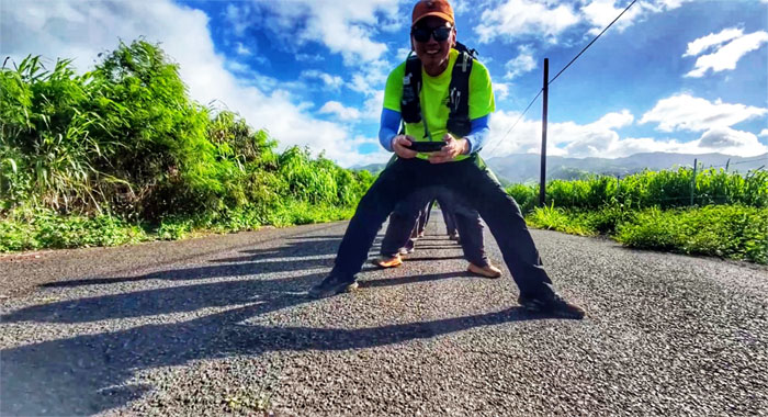
Mokuleia Road
Trying to line everybody up for a fly through. Are you drunk? Hit my leg. Not spread wide enough. Scratch the idea.
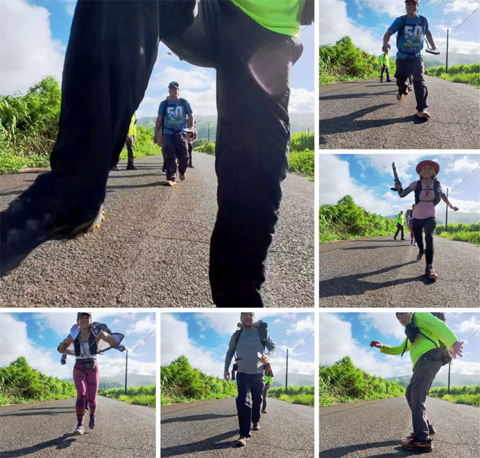
All pau
Hopping over the drone on our way out.
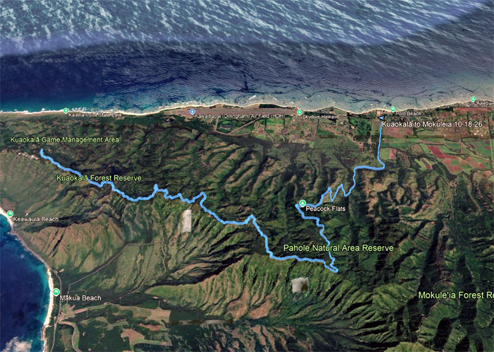
GPS Tracks
Our walk across the West side covered 11.4 miles with a fun group. Hiking is always an adventure to be had. Thanks to Jeremy for driving CB back to his car at Kealia Trail and Aida for picking the rest of us up. Post hike meal at Jerry’s Pizza where they really do have one of the best cheeseburgers in the island. Forget about Shima’s.
Photos/Crew taken by Aileen Agustin, Akira Suzuki, Chico Cantu, Chris Bautista, Cristy CM, Jeremy Cannone, Roger Schiffman, and yours truly. Not necessarily in order.
Note: I have been made aware that some hikers have been using my blog as a hiking guide and getting lost on the trails. Please note that this blog was made to document the hike for the crew(s) that did it. That is why some of my comments will seem to have no relevance or meaning to anybody outside of the crew(s) that hiked that trail. My blog was never meant as a hiking guide, so please do not treat it as such. If you find inspiration and entertainment from these hikes, that is more than enough. If you plan on replicating these hikes, do so in the knowledge that you should do your own research accordingly as trail conditions, access, legalities and so forth are constantly in flux. What was current today is most likely yesterdays news. Please be prepared to accept any risks and responsibilities on your own as you should know your own limitations, experience and abilities before you even set foot on a trail, as even the “simplest” or “easiest” of trails can present potential pitfalls for even the most “experienced” hikers. One should also always let somebody know of your hiking plans in case something doesn’t go as planned, better safe than sorry.

{ 0 comments… add one now }