
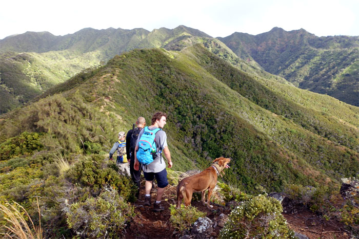
Back to do another short loop on the Eastern Ko’olaus.
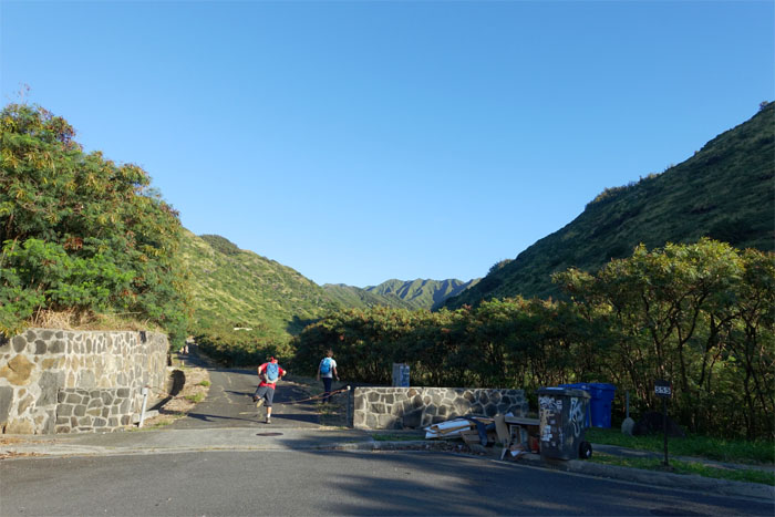
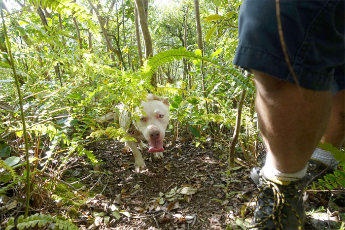
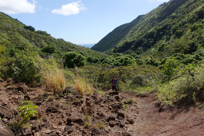
Trailhead
Met up with Chris, Jose, Rob and Ryan at the end of Anolani Street in Niu Valley.
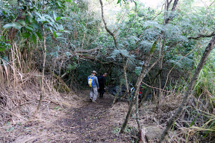
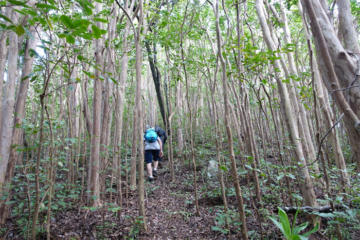
Canopy cover
Headed into the valley with copious amounts of canopy cover and absence of mosquitoes. Can’t ask for much more on the trails.
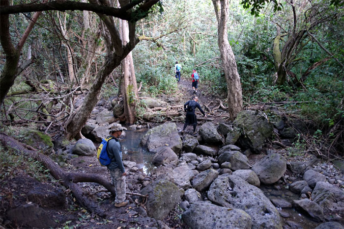
Streambed crossing
Multiple crossings of the boulder strewn Niu Stream marked the start of the trail.
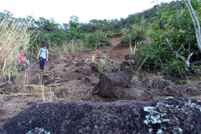
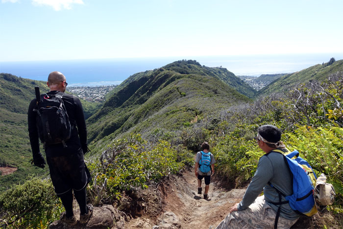
Junction
The washed out section of the trail, where we stayed right to gain the ridge.
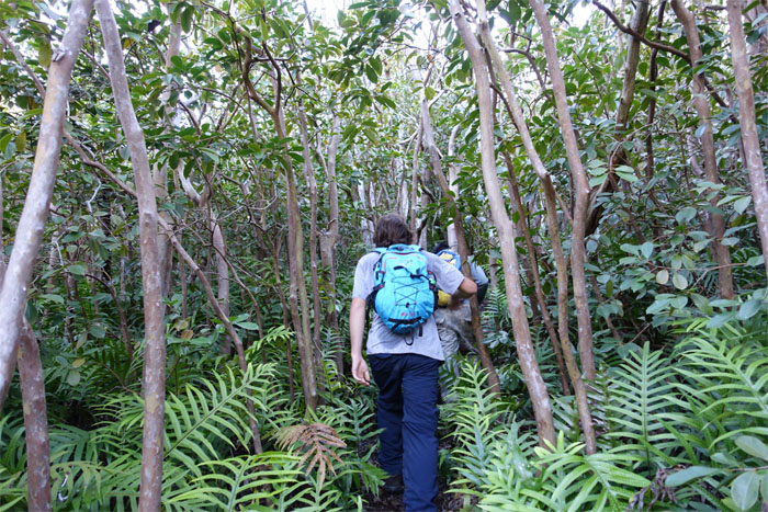
Going up
Tightly packed trees marked the initial ascent up the ridge.
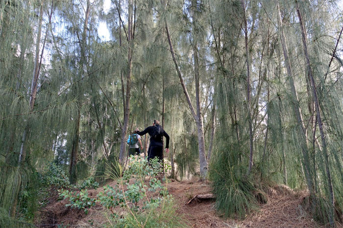
Ironwoods
Dropped pine needles on this section made for slippery and soft footing.
Help!
No hiker was harmed in the making of this photograph.
Seen any pigs?
Met a group of hunters with their dogs on the ridge. The dogs soon lost interest and turned around.
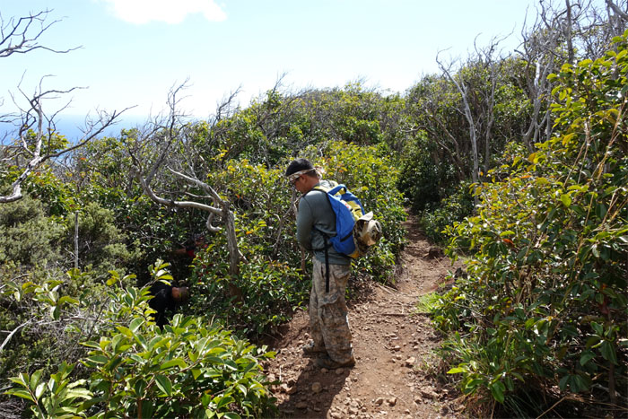
Same hill, different trees
Resuming our slow cardio burn as the trees thinned out as we gained elevation.
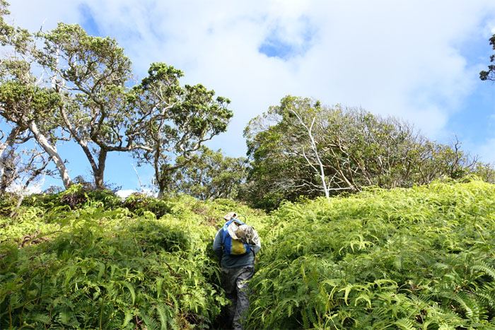
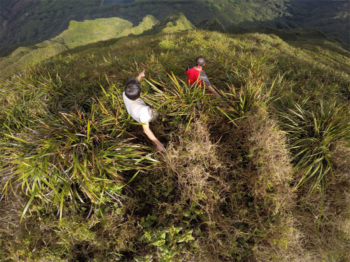
Uluhe ferns
What hike wouldn’t be complete without a patch of uluhe ferns?
Bridging the gap
Rob showing his flexibility.
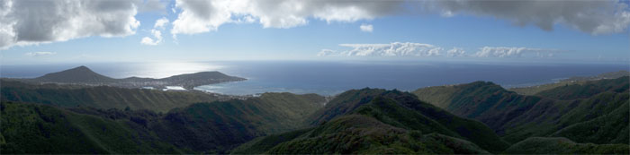
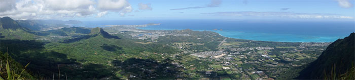
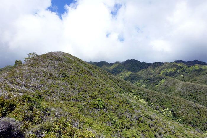
Panoramic view
Click here for the larger image.
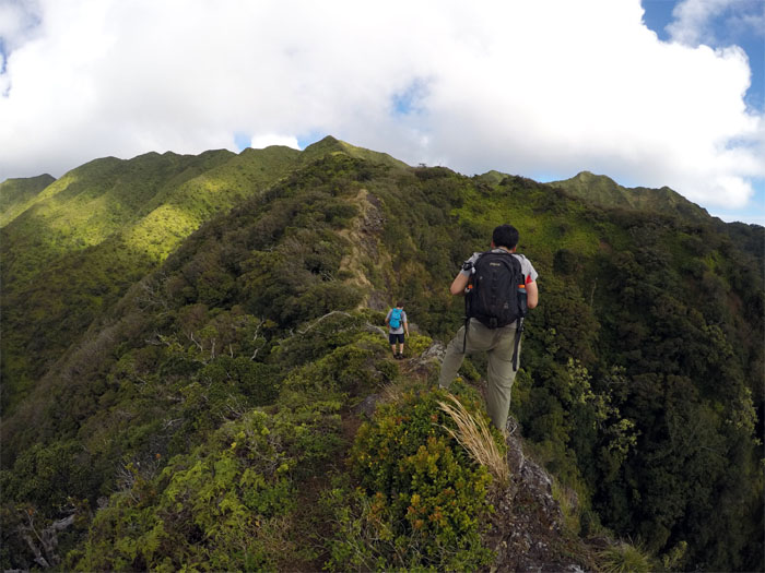
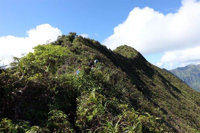
Kulepeamoa ridge
The ridge started to become more defined and exposed. Thank you. Photo by Ryan Leano
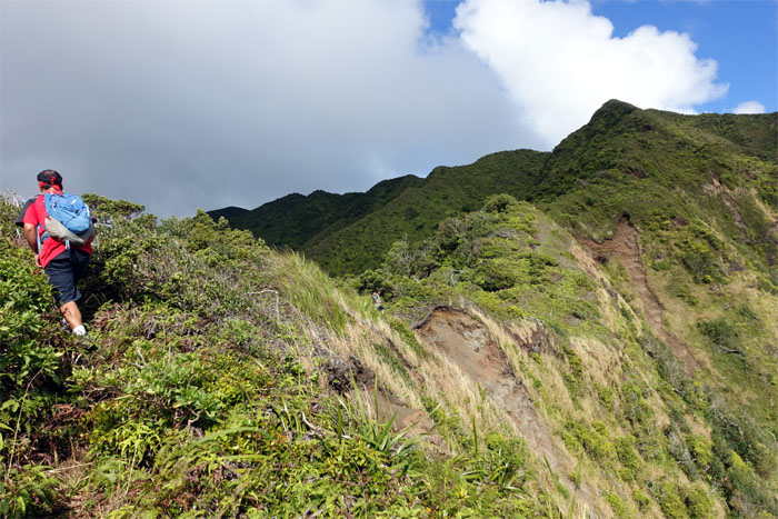
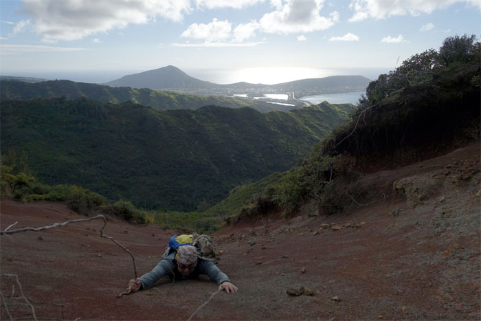
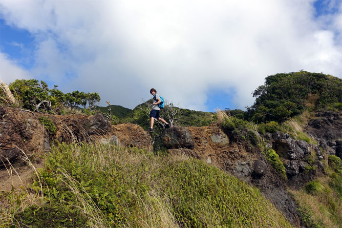
Erosion
Jose about to pass one of many eroded sections sprinkled along the upper ridge.
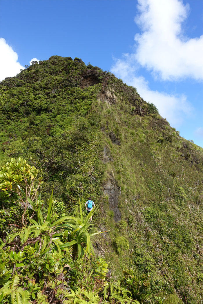
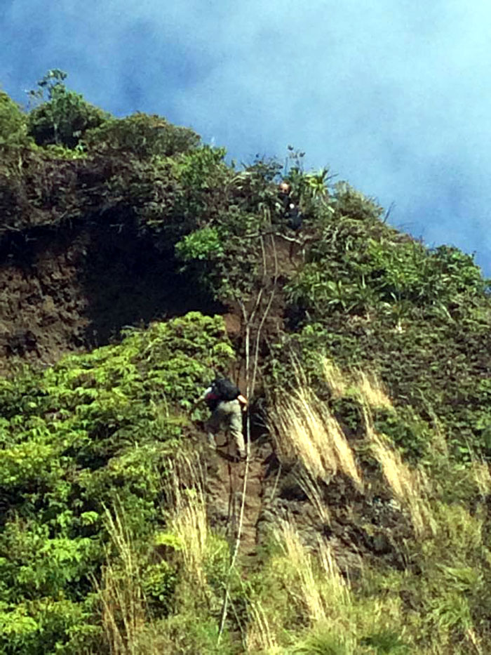
Dirt chute
Rob approaching the roughly 50′ steep section. Ropes are provided.
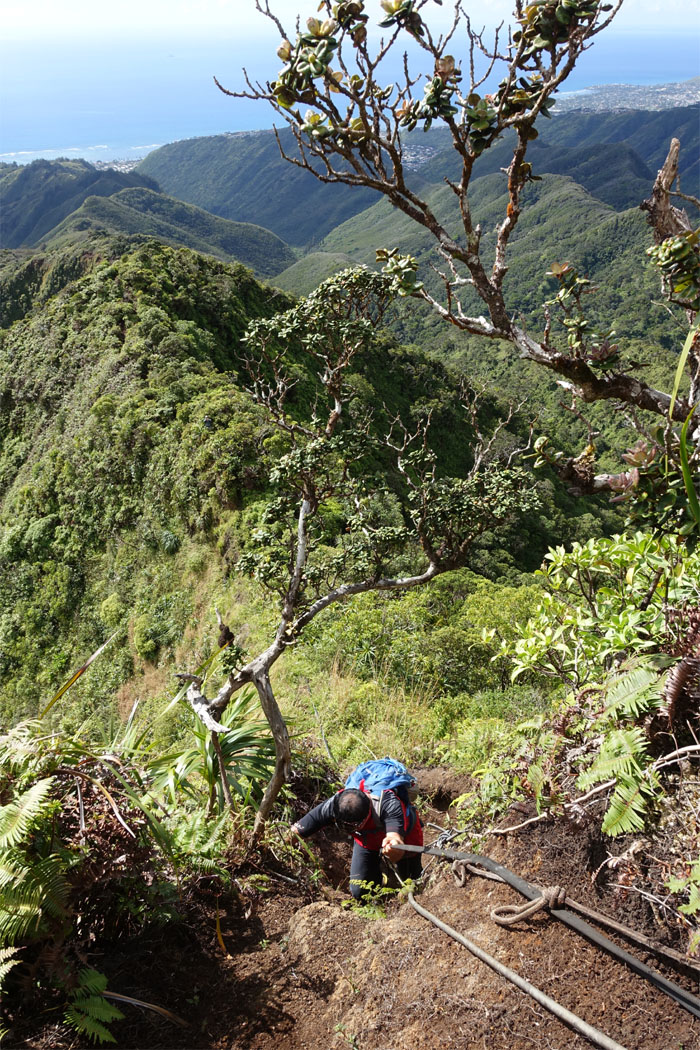
Climbing
Where’s the escalator? Photo by Chris Chun.
Looking down
Jose making his way up.

Ohia lehua
Buzzing bees were busy picking up pollen from the abundant salmon colored lehua flowers.
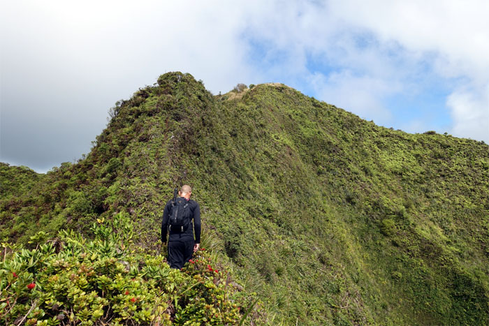
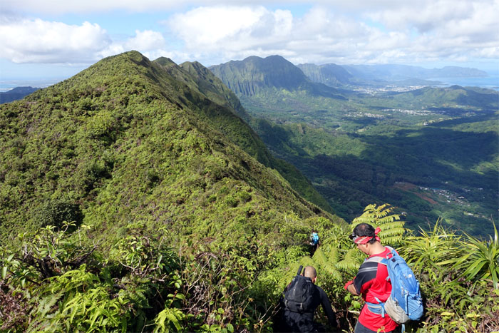
Final push
Multiple false peaks and a roller coasting ridge were behind us as we were within striking distance of the summit.
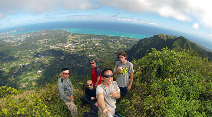
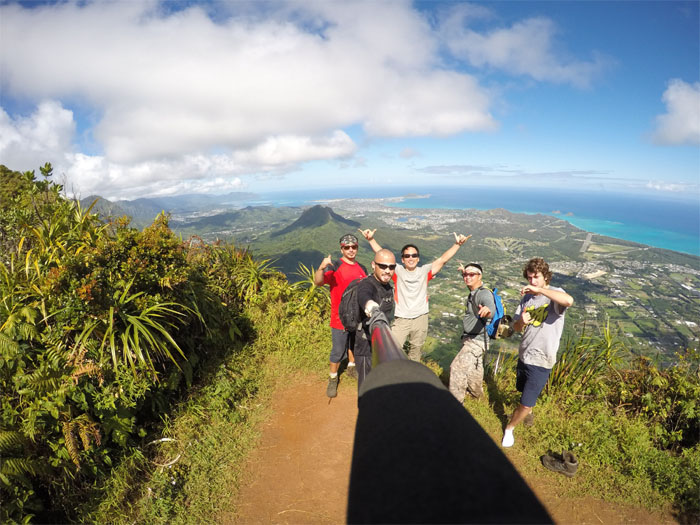
Kulepeamoa summit
Group photo at the 2,480′ summit, left to right: Chris, Ryan, Jose, myself and Rob.
Panoramic view
Click here for the larger image.
Kulepeamoa Windward
Checking out a future Windward ridge hike. Photo by Ryan Leano.
KSRT
The group headed North along the Ko’olau Summit Ridge Trail. The twin peaks of Konahuanui were strikingly clear in the distance.
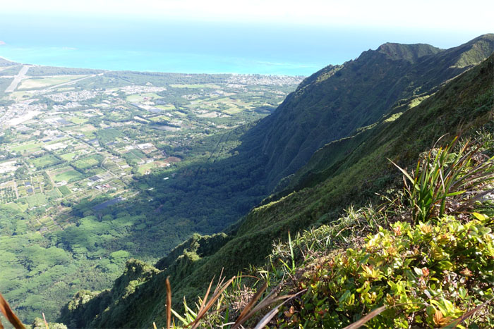
Looking back
Another view of the Windward ridge that we had scouted out earlier from the summit.
Cross over
It was another brief crossing between summits. Within less than half an hour, we found ourselves on top of Hawaii Loa Ridge.
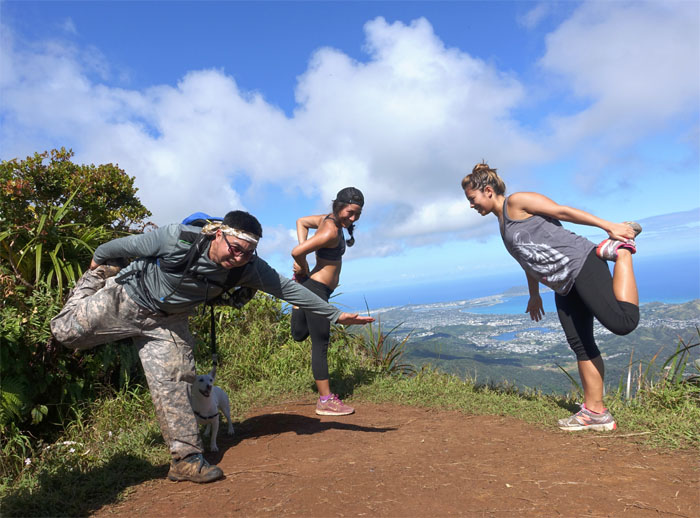
Mountain yoga
Chris showing us how it’s done.
Hawaii Loa summit
Group photo at the 2,520′ summit. Photo by Ryan Leano.
Hawaii Loa Ridge
The sign that warned of multiple slips and falls was missing.
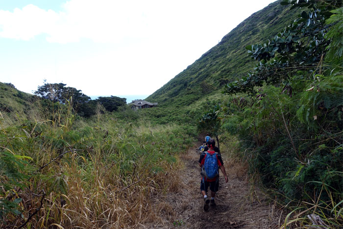
Headed down
It’s been several years since I last set foot on Hawaii Loa Ridge. Nothing much has changed.
Cloudy Ko’olaus
Looking back at the clouds rolling over the Ko’olaus.
Junction
Finding the junction that would drop us back down into Pia Valley was made possible from Troy Solano’s GPS tracks. Mahalo!
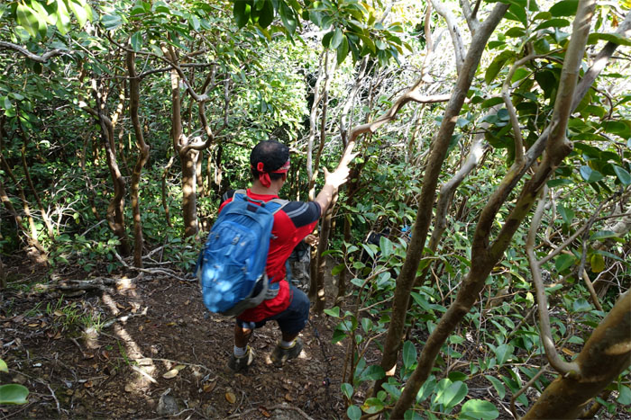
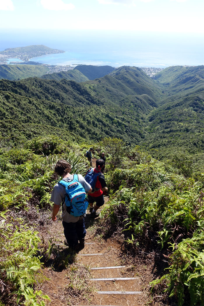
Tree brakes
We lost elevation in a hurry going down into Pia Valley.
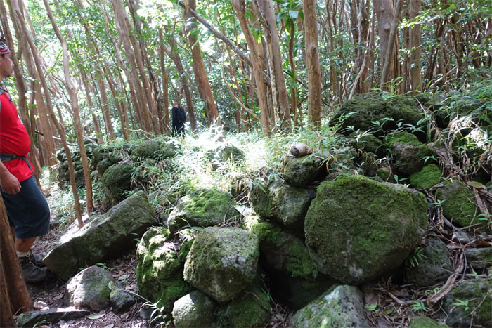
Tramping around
Ryan checking out a rock structure that we came across, possibly built by Hawaiians or cattle ranchers?
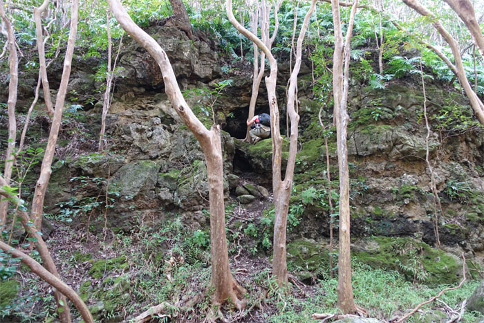
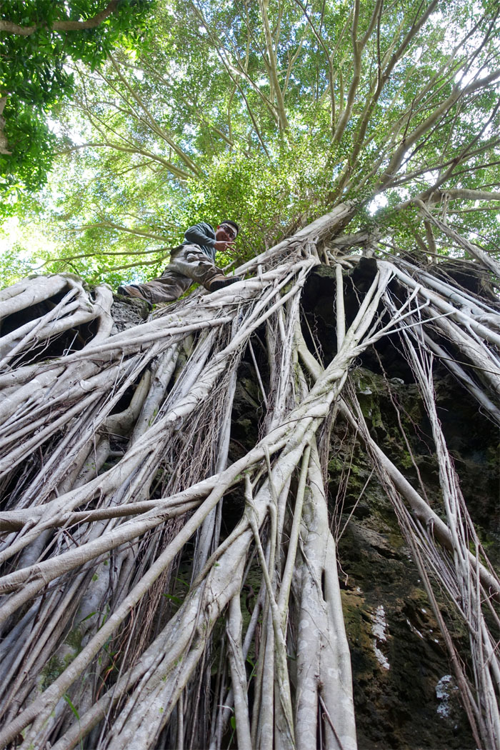
Exploring
Climbing up to see where the cave goes. Photo by Jose Delaki
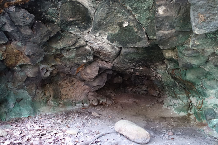
Cave
Dead end.
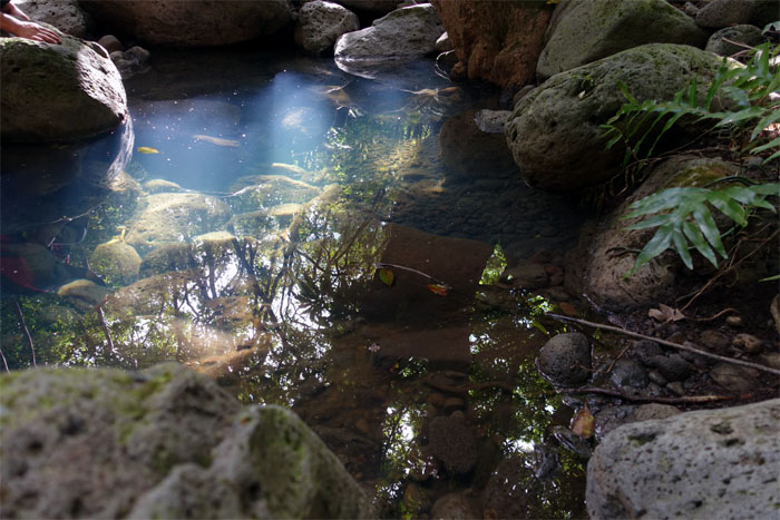
Swimming hole
One of the deeper holes that was actually filled with standing water. Looked inviting and stagnant at the same time.
Junction
We soon intersected at the washed out section where we made the initial ascent up Kulepeamoa Ridge.
Rooting
Chris warming up for Kaupo Cliffs #4.
All pau
Walking back out to our cars.
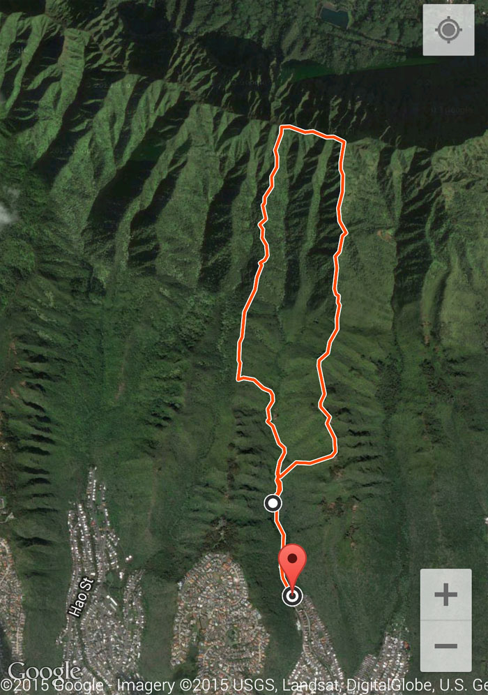
GPS Tracks
The fun loop hike covered a little over 5.3 miles. Post hike meal at Greek Marina. Thanks to Jasmin for bringing us freshly baked muffins and pear cranberry pie.
{ 11 comments… read them below or add one }
Was the brown dog in the first picture able to do the complete hike?
Aloha Mike,
Haha, the dog wisely decided to return back to his pack.
Mahalo
Now know what to expect on our club hike there this coming Sunday. Hope it?s clear at the top like it was for you guys so we get a view.
Aloha Dale,
Nice hiking with you again yesterday. Yes hope it’s nice and clear for you guys. Quite the views up there!
Mahalo
Hi Kenji….can you pls. email me your GPS track for this hike? Thanks.
Aloha Ani,
I emailed it to you. Have a great hike and stay safe!
Mahalo
Much mahalo Kenji. Greatly appreciate it.
Hi Kenji, could you please send it to me too? Thanks
Aloha Frank,
I’ll try and send it out tonight as I’m having computer problems.
Mahalo
Aloha Kenji. Would please send me the track for this hike? Love your blog! Thank you!
Aloha Maria,
Since you love my blog, I’ll send you the tracks. Just kidding. I’ll try and send it out tonight as I’m having computer problems.
Mahalo