I had met John on the Poamoho trail and he had asked me to take him and some friends on an intermediate hike one day. Today was the day.
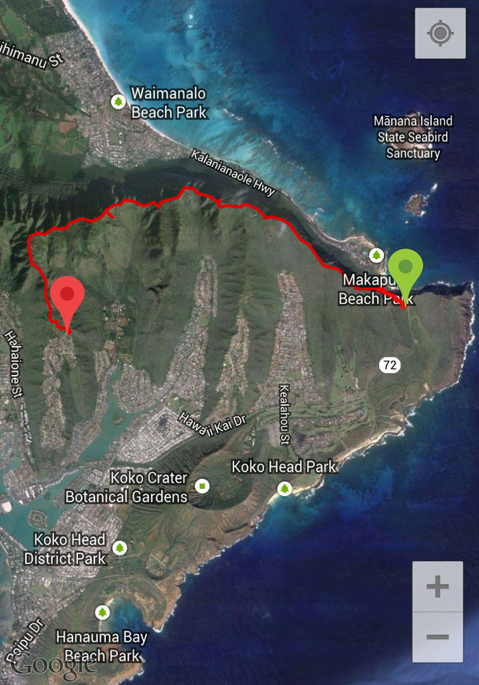
Joining me on this repeat hike, was John, Lyle, Maiko and Naoko. Lyle was the designated driver today and he picked me up from the top of Kaluanui Road and shuttled all of us to the Makapu’u Lookout.
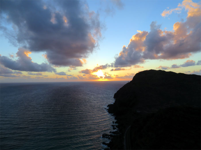
We scrambled up the mountain in time to catch a twin sunrise – the sun and the Makapu’u Lighthouse.
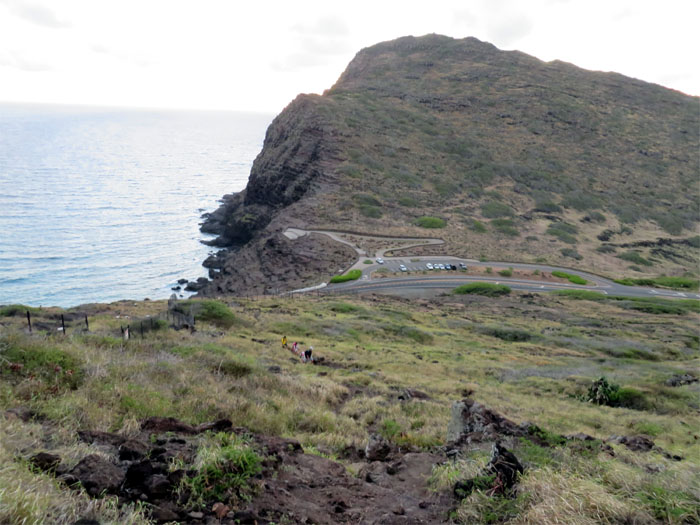
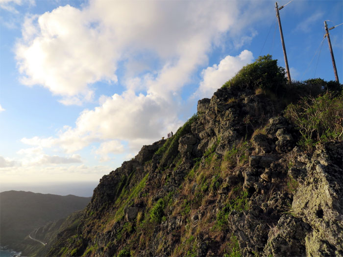
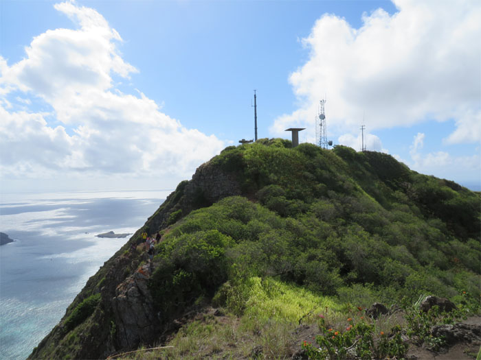
The group making their way up to the powerlines.
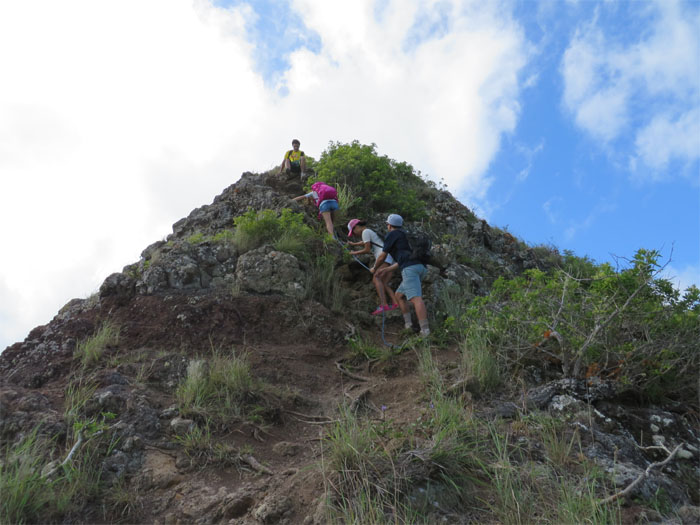
We have to climb on those rocks?
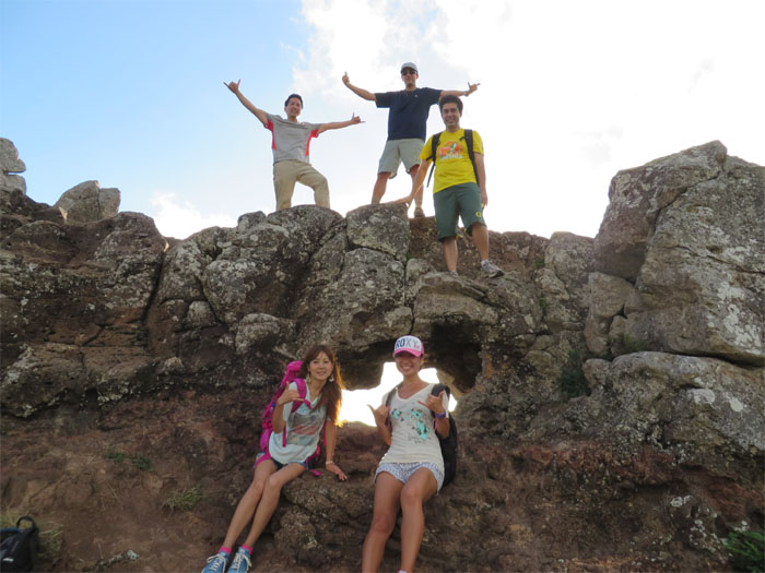
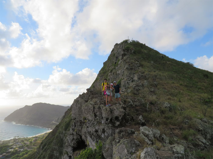
It’s amazing what some people with a fear of heights will do. Photo by Naoko Takaso.
Actually there wasn’t that much room. Photo by John Garrity.
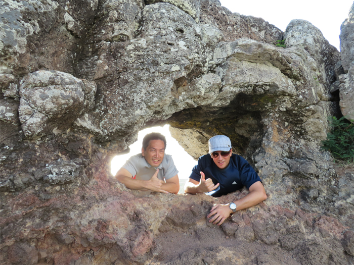
We met three other hikers at the puka, they had hiked up from the lookout earlier than us. This was their return point. This was just our photo opportunity stop. Photo by Naoko Takaso.
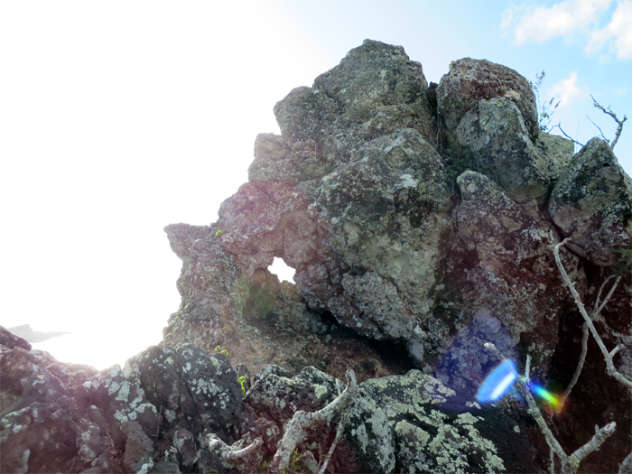
Passing another puka in the making.
Small kine grinder. Only 238,900 miles.
Hanging out at the paraglider platform. Photo by John Garrity.
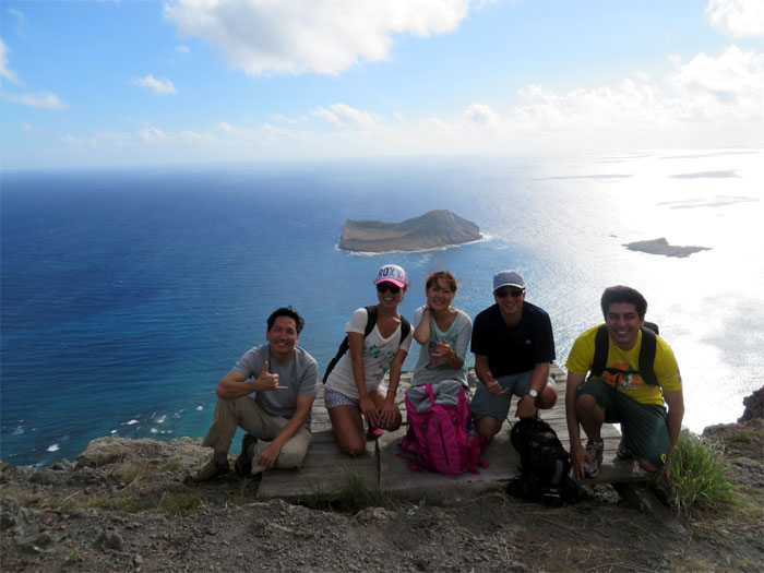
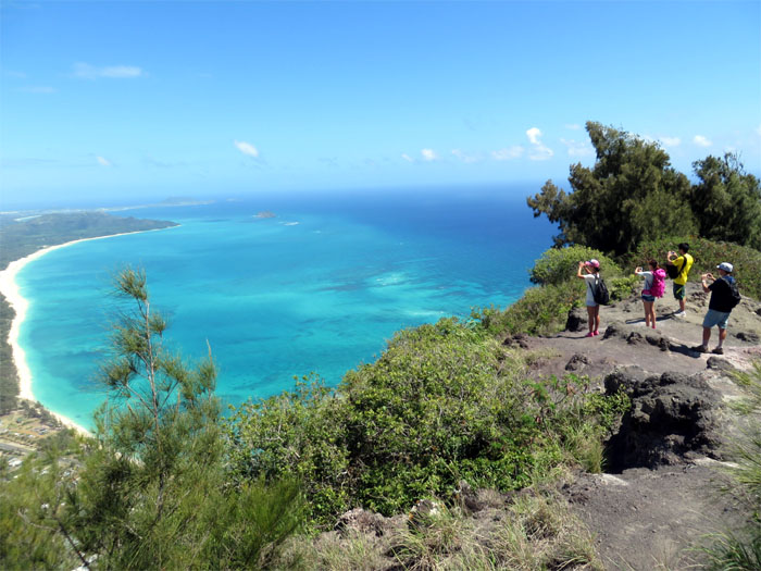
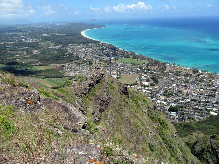
A nice view of Manana (Rabbit) and Kaohikaipu Islands. Both are designated seabird sanctuaries. Jutting out from the coastline is the University of Hawaii’s Makai Research Pier.
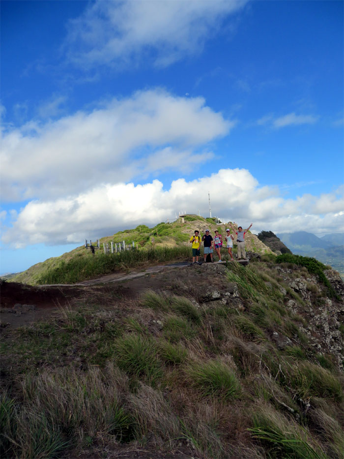
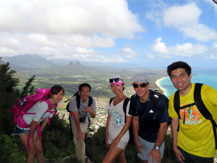
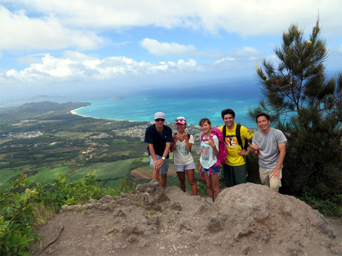
Group photo left to right: myself, Maiko, Naoko, John and Lyle.
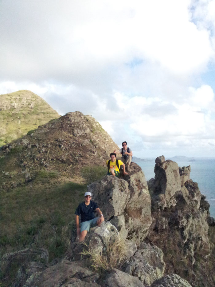
Another group photo.
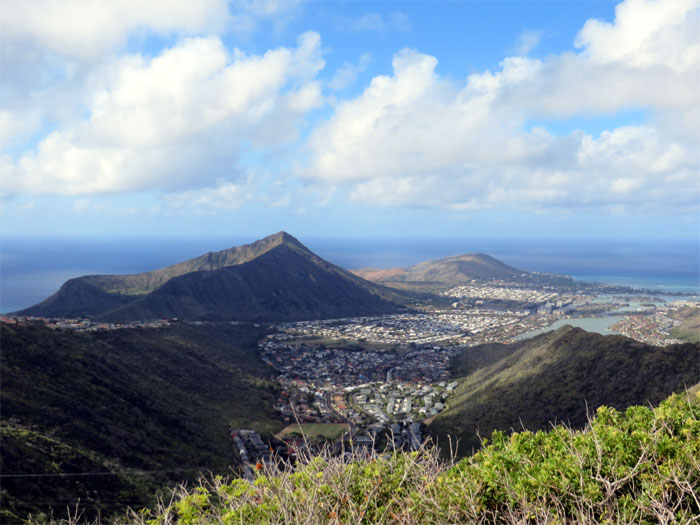
Looking into Kamiloiki Valley, with Koko Crater and Koko Head in the background. The gate to access the “Hidden Stairway” is now padlocked.
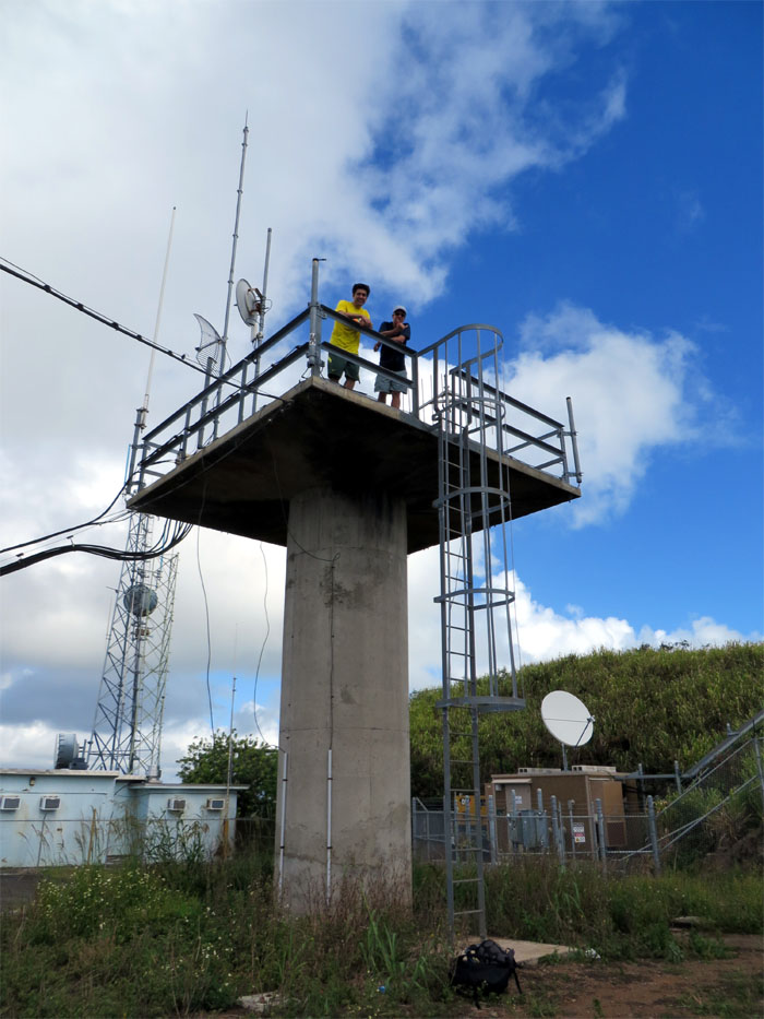
Don’t be standing in front of those microwave dishes, unless you like it medium rare.
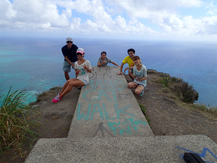
This spot has seen heavy traffic recently, as evidenced by the large amounts of graffiti that hikers have left behind. Heck, there were even two lawn chairs there! Leave it as you find it. Otherwise, access may be denied or severely restricted in the future. Look at Haiku Stairs.
The group leaving the communications facility behind as they make their way down.
“Isn’t there another way down?”
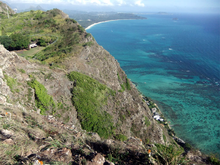
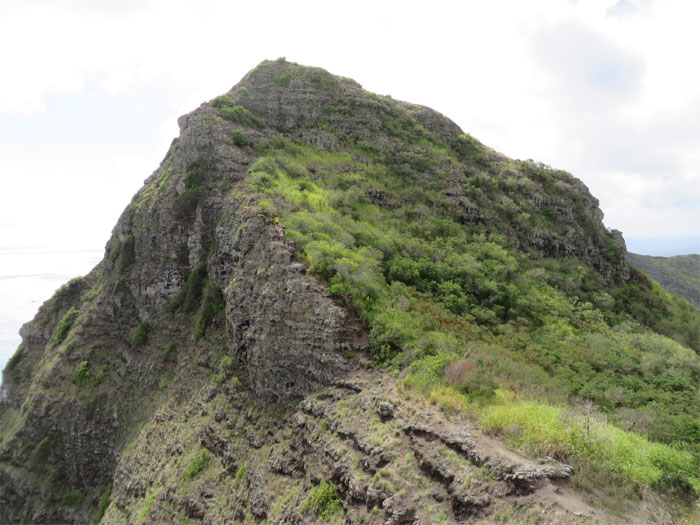
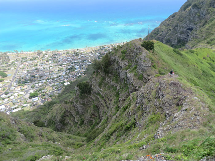
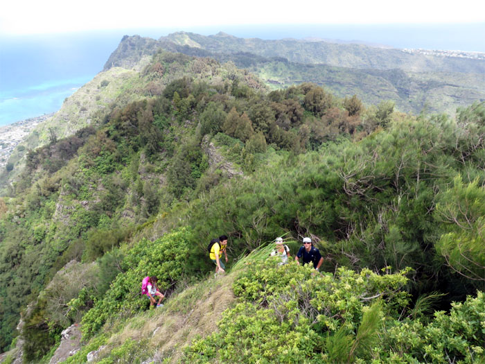
When you are hiking these ridges, most people never realize actually how close to the edge they are. This photo puts it in perspective.
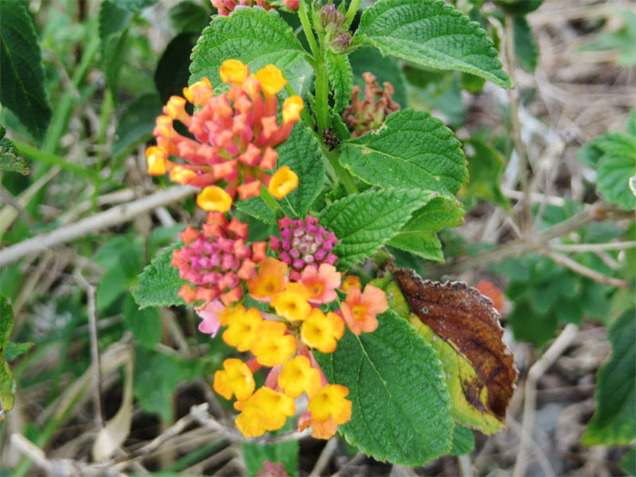
Checking out these tiny colorful flowers as I waited for the group.
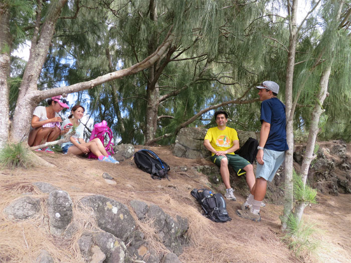
Taking our lunch under the shade of the pine trees and cooled by the trade winds.
Everybody taking pictures at the same time. Who can blame them? It was a beautiful day on the Koolau’s.
We ran into two hikers at Kamiloiki Summit who snapped our group picture. Mahalo!
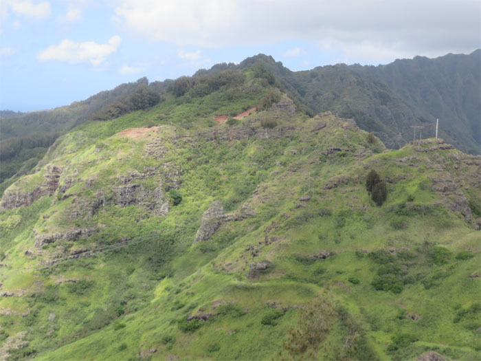
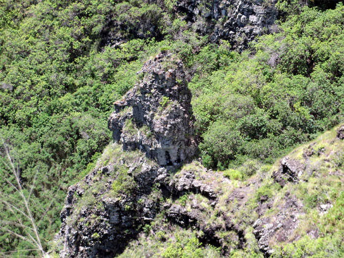
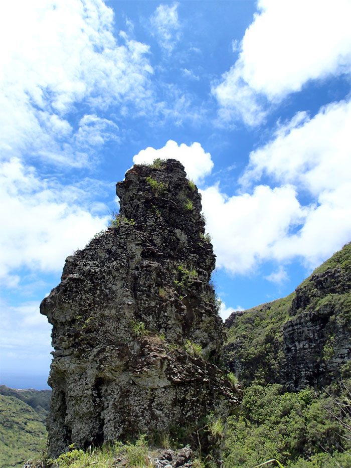
Making our way to the Tom-Tom trail and a little something extra for me – Bell Tower, which is the rock formation in the middle of the photo.
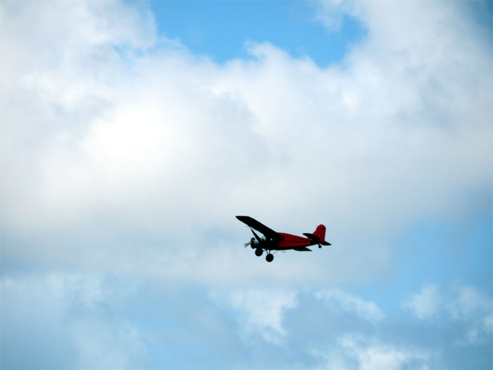
I noticed this vintage plane buzzing around the Koolau’s. The plane resembles a Bellanca CH-300 Pacemaker, Hawaiian Airlines first aircraft to fly in the islands.
The group making their way up to the Tom-Tom trail.
The Tom-Tom trail. We were not descending back down into Waimanalo today.
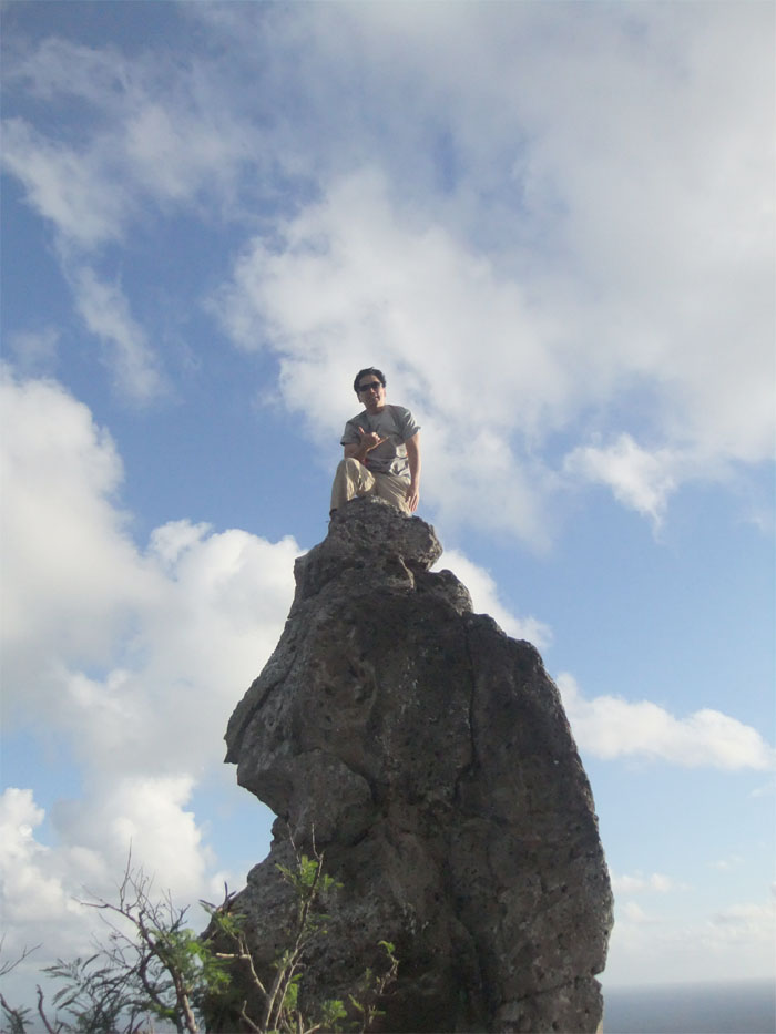
The last time we were on this trail, some in the group talked about tackling Bell Tower. Marcus said a hiker named doRito made the first documented climb. So it’s also known as doRito Tower.
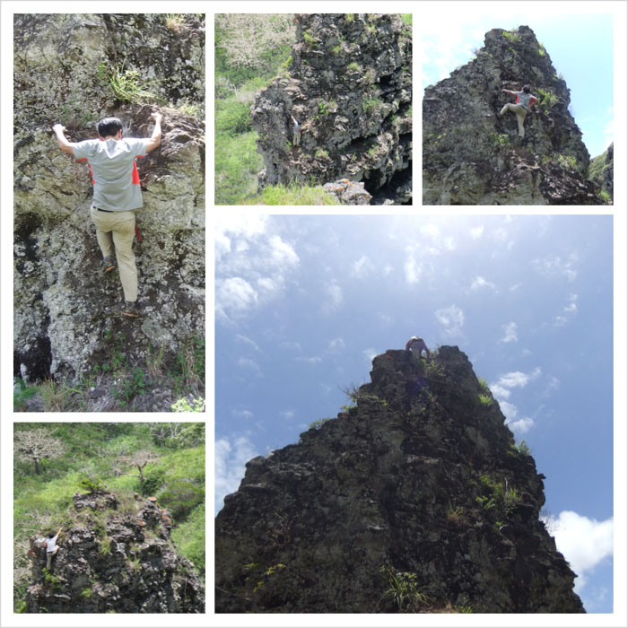
John had agreed to accompany me down the crumbly spur ridge to the tower to act as my spotter. I found a brand spanking new piton and stake lying at the base of the tower. Perhaps somebody was planning on top roping the tower to make it easier for others to climb?
The tower looked somewhat intimidating seeing it up close and personal. It didn’t help that John advised me not to make the climb. After checking it out from ground level and it seemed within my meager climbing ability, I started my way up. It was just a matter of finding the right handholds and footholds. I had a small “diaper change” moment when one of the rocks I was holding onto with my right hand came off the tower and plunged into the valley. John prudently stepped back after that. Photos by John Garrity and Maiko Nakagawara.
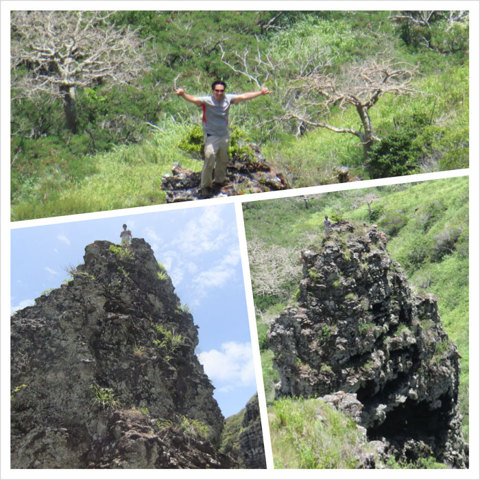
Working from left to right up the tower, I was soon at the top. What a feeling! Now the hard part, making my back down. Photos by John Garrity and Maiko Nakagawara.
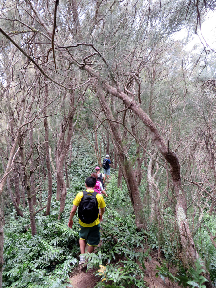
After the fun was over, we got back on the trail to Mariner’s Ridge.
Looking back at the Koolau Mountains. Another beautiful day in paradise.
Taking a last group photo at the 1,640′ summit of Mariner’s Ridge. We didn’t spend much time at the top, as the girls had a happy hour event waiting for them, so we took the trail back down to my car.
The 6.4 mile hike was a fun filled day with new hiking buddies and with a twist (Bell Tower) thrown in for good measure.


{ 4 comments… read them below or add one }
Good fun Kenji!
Thanks Troy! Hope to hike with you again, especially those Northern crossovers on the KST!
Aloha
Thanks Kenji for a very memorable hike. Hooray for KS!!
Anytime John, and thanks for being my spotter! Until the next trail!
Aloha