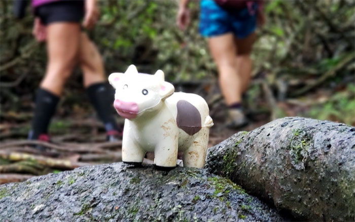
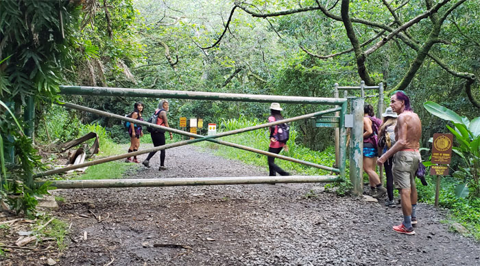
Met up with Aida, Ani, Katie, Laredo, Margaret and Quan at Moanalua Valley Park to hike to heaven. The harder way.
Did everybody brush their shoes?
Can I take you home?
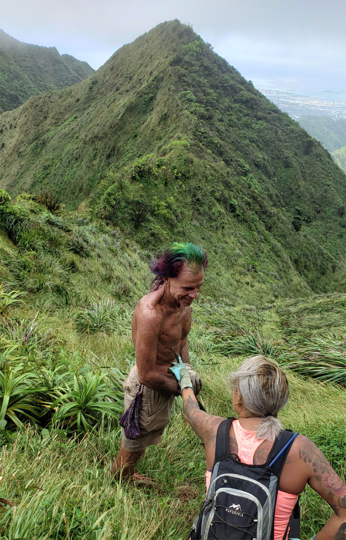
Hold my hand. I’m not quite sure who said it first. Photo by Margaret Wilson.
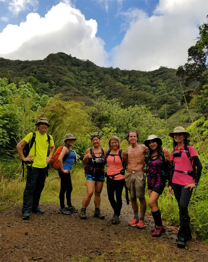
Group photo without holding hands, left to right: myself, Ani, Quan, Katie, Laredo, Margaret and Aida.
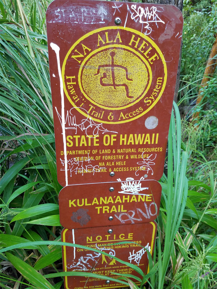
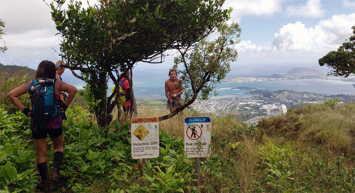
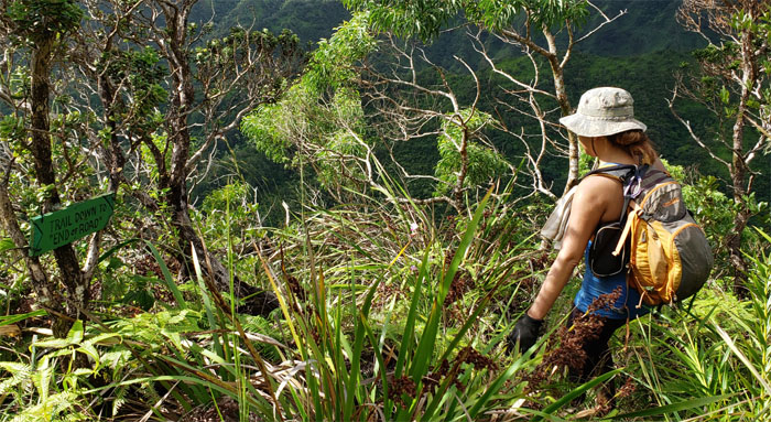
The sign and junction that will continue to baffle and befuddle many hikers looking for heaven. What you are seeking is 30 feet to your right. Photo by Ani Lagpacan
Going through one of many stream crossings.
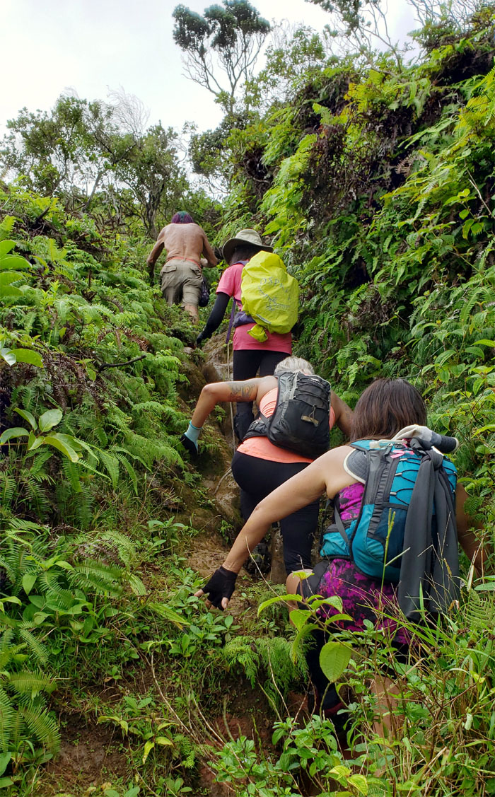
Huffing and puffing our way up the short and steep spur ridge.
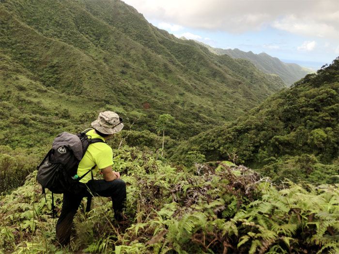
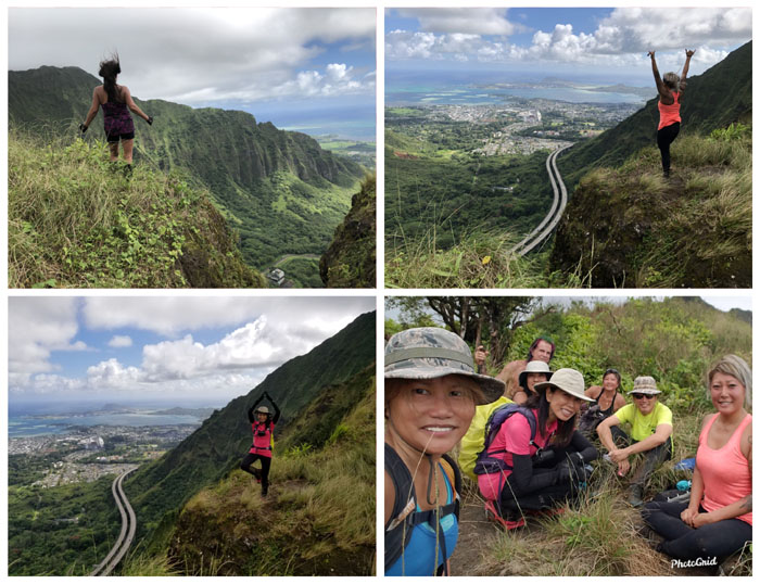
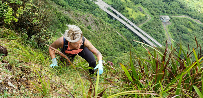
Imagining what the H-3 would have looked like slicing through this valley. Not a pretty thought. Photo by Margaret Wilson.
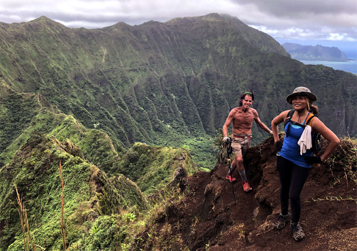
We reached the summit with clear views all around.
Picture time.
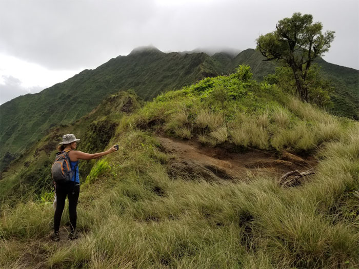
One more selfie and then we can go.
The usual brisk winds blowing from Windward to Leeward kept us company.
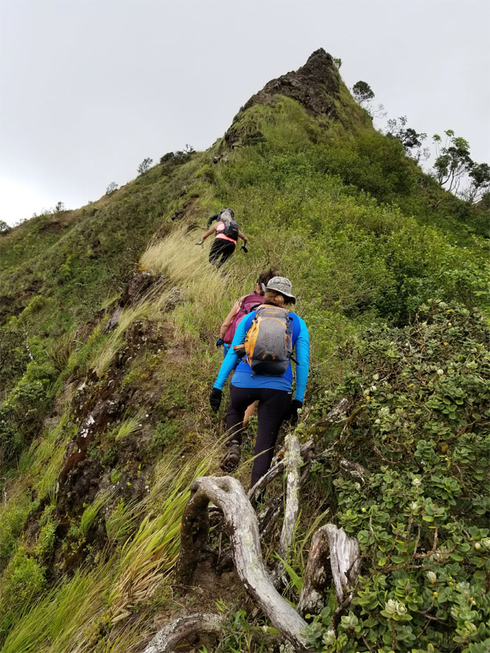
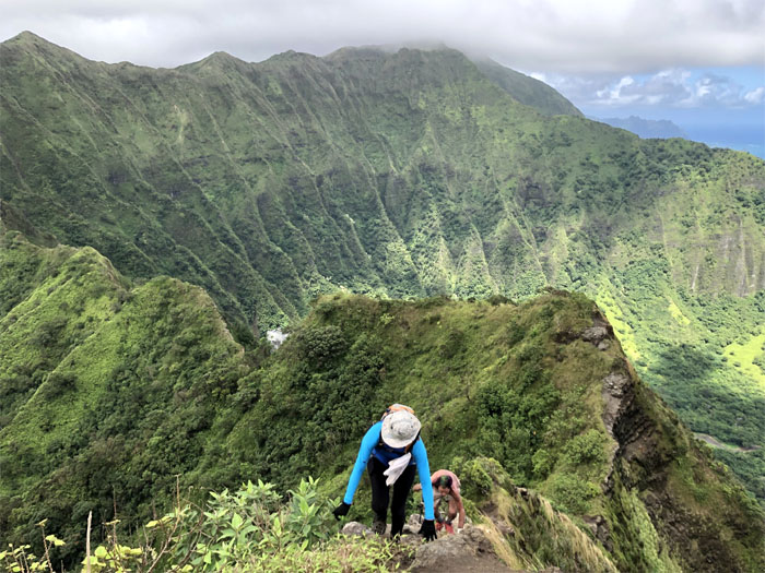
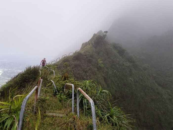
Gaining elevation on our way up. Photo by Aida Gordon.
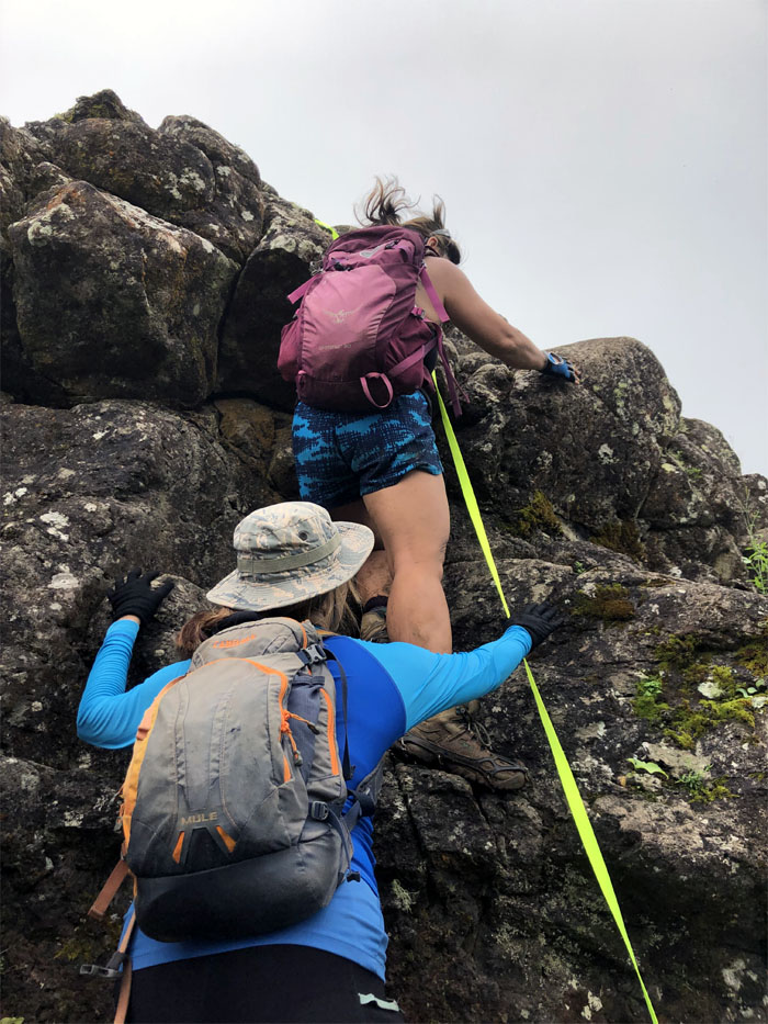
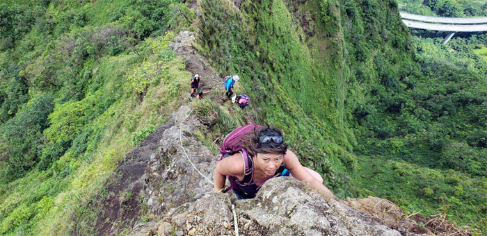
Ani spotting Quan as she climbed her way up the rocks. Photo by Margaret Wilson.
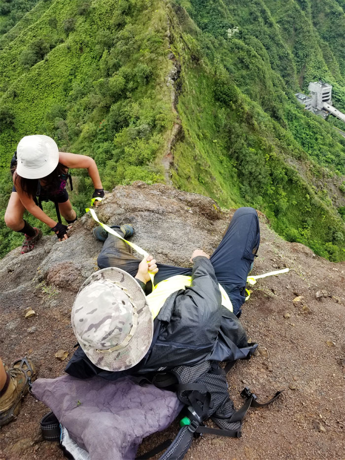
The human anchor at your service. Photo by Aida Gordon.
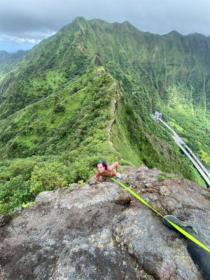
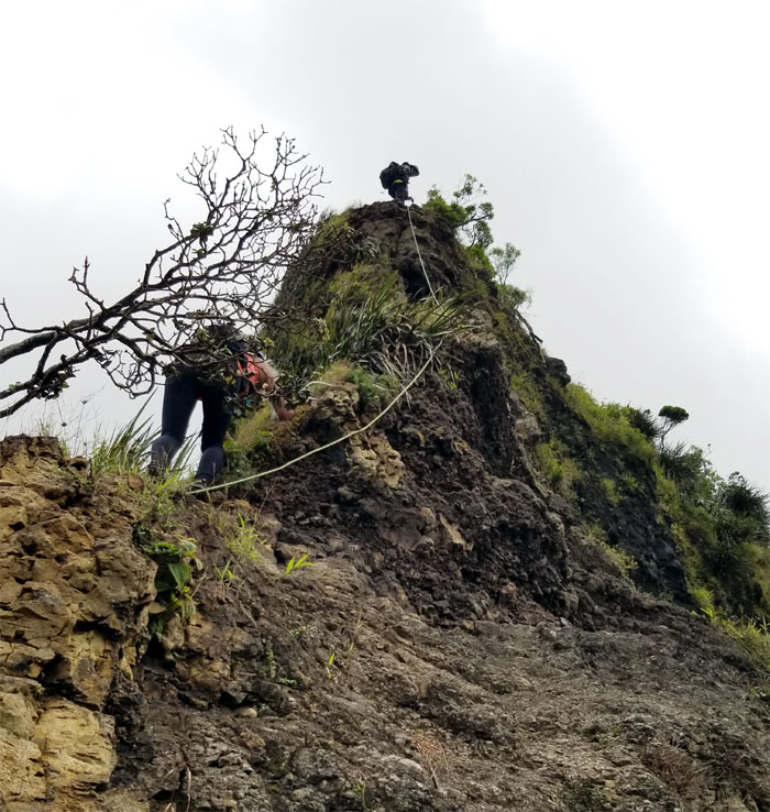
Webbing? I don’t need webbing where I’m going. Photo by Katie Bingham.
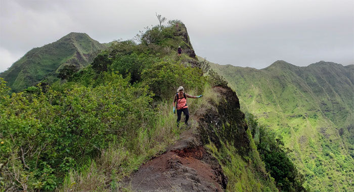
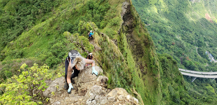
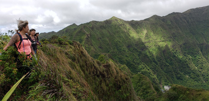
Katie contouring up the Windward side. Watch the drop.
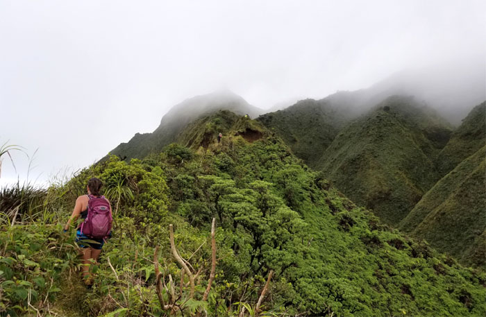
Slow and steady was the theme for the day.
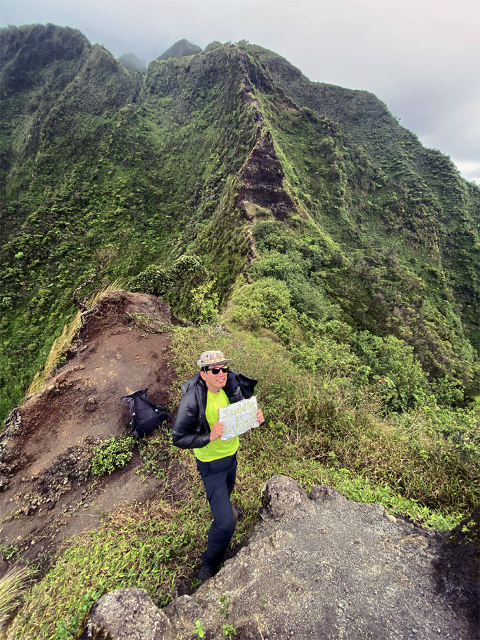
Saddle to Heaven Tours. Five cents. Pictures and meals not included. Tips are appreciated. Photo by Katie Bingham.
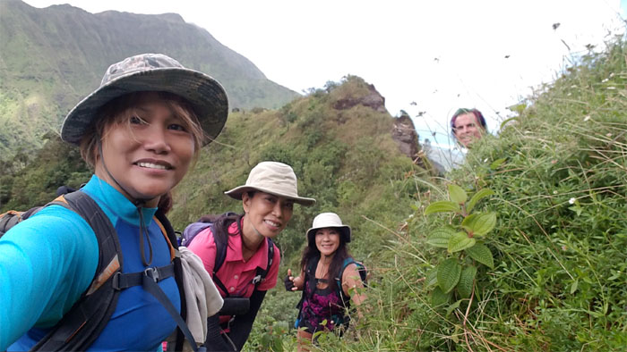
Selfie on the Leeward side. One can’t have enough selfies. Photo by Ani Lagpacan.
Ani approaching the tree that she would soon break in half. Photo by Aida Gordon.
Katie pulling herself up.
Aida climbing her way to the top. Photo by Margaret Wilson.
Back on the crumbly ridge line. Photo by Margaret Wilson
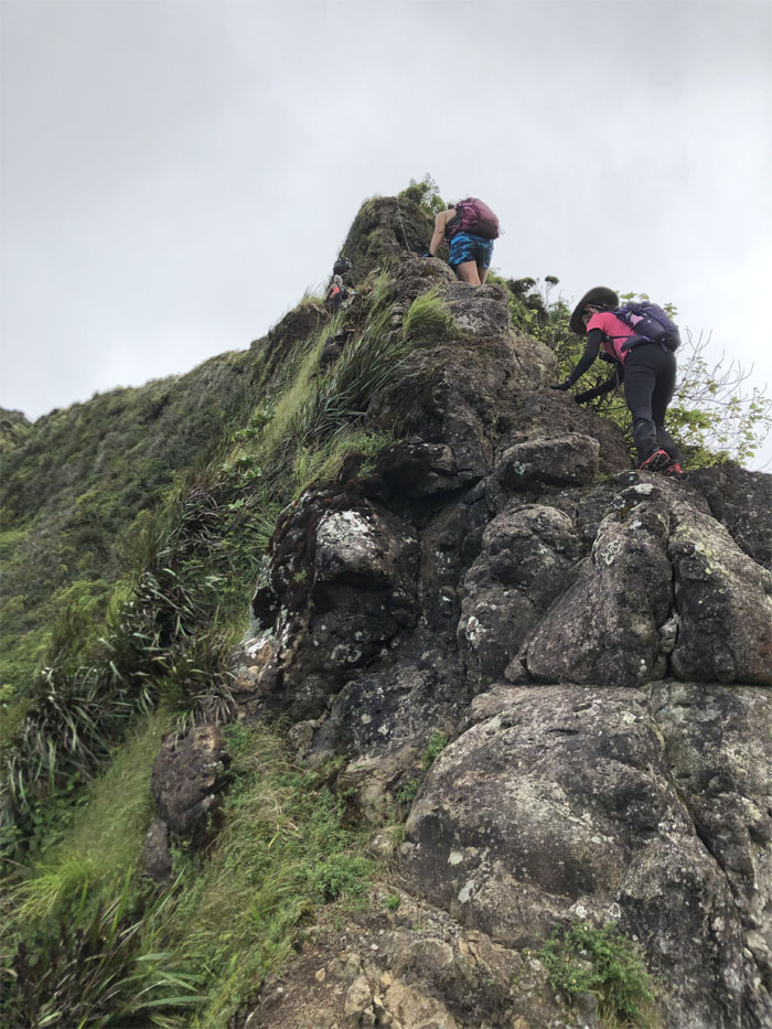
Katie climbing over the rocks.
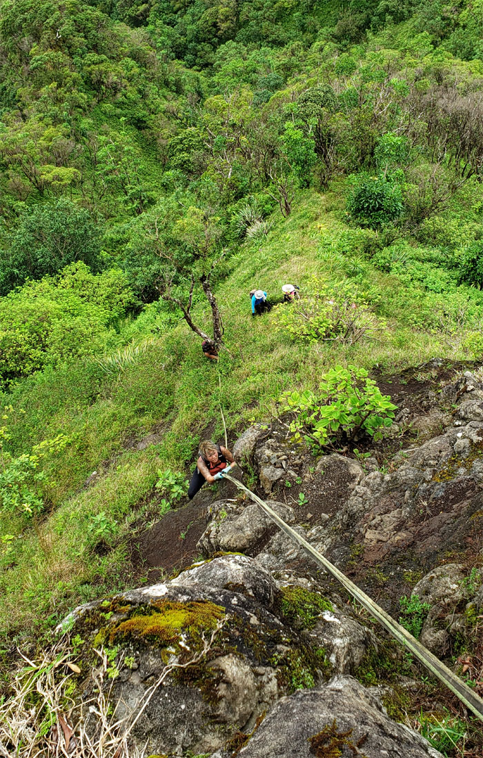
The rest of the group making their way up. Photo by Margaret Wilson.
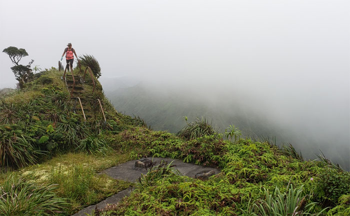
Katie going up the last crumbly section on the saddle. Photo by Aida Gordon.
Quan looking for her next handhold.
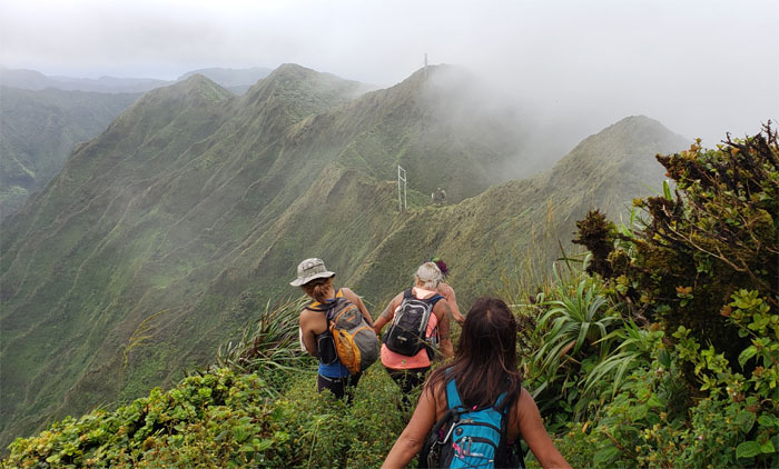
Taking in the views as all the hard parts were behind us.
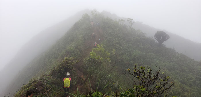
Just straight up ridge hiking from here to the summit. Photo by Aida Gordon.
A couple eroded sections here and there. Photo by Margaret Wilson.
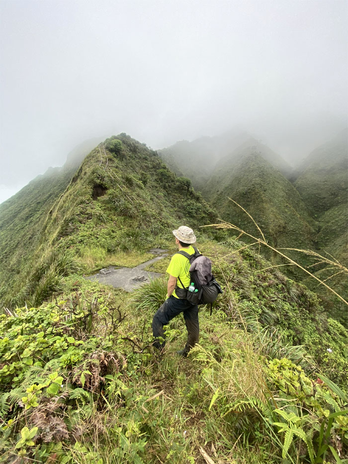
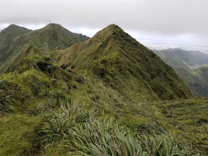
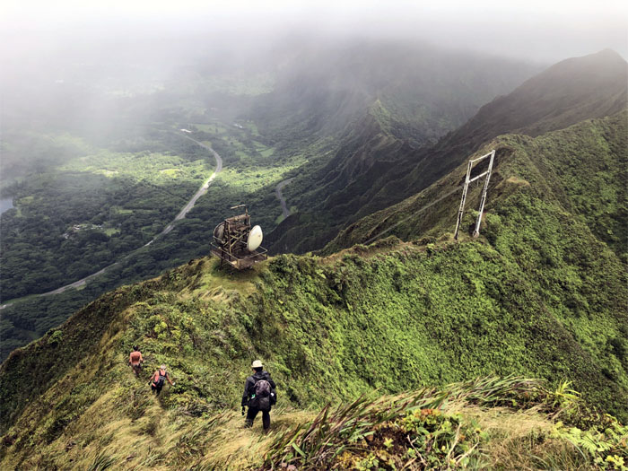
Arriving at the A-frame remnants that once hung five suspended antenna cables across the amphitheater shaped valley. Quite the engineering marvel. Photo by Katie Bingham
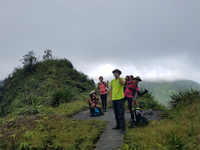
We took a short break on the solid concrete. No need to watch your footing for now. Photo by Ani Lagpacan.
“There’s a lady who’s sure that she’s hiking the backway to stairway to heaven…” Photo by Quan Haberstroh.
“…When they get there, she knows…” Photo by Aida Gordon.
“…If the stairway is closed…” Photo by Aida Gordon.
“…with Laredo’s help, she can get out…”
“…Oh oh oh oh and she’s hiking up the backway to stairway to heaven.” Paraphrased from Led Zeppelin. Photo by Quan Haberstroh.
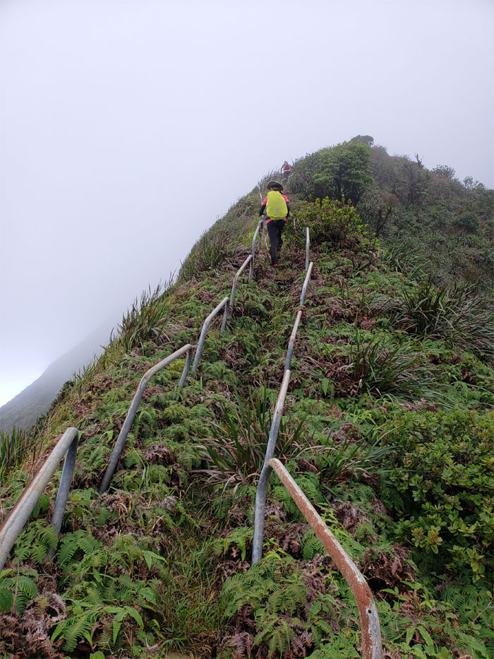
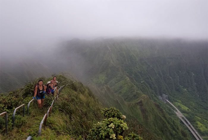
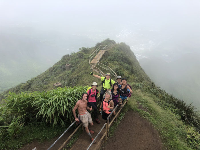
Group photo at the storied stairs. Lunch break in heaven.
Traversing the muddy rutted and crowd packed trail as we left the smoky views.
Leaving the 2,820′ flat summit.
Passing a wind swept grassy meadow. Photo by Aida Gordon.
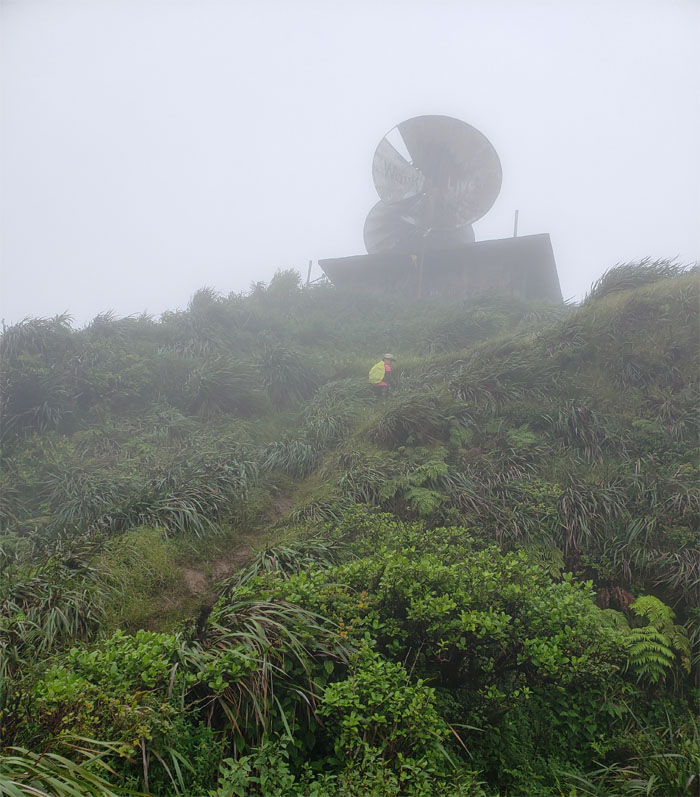
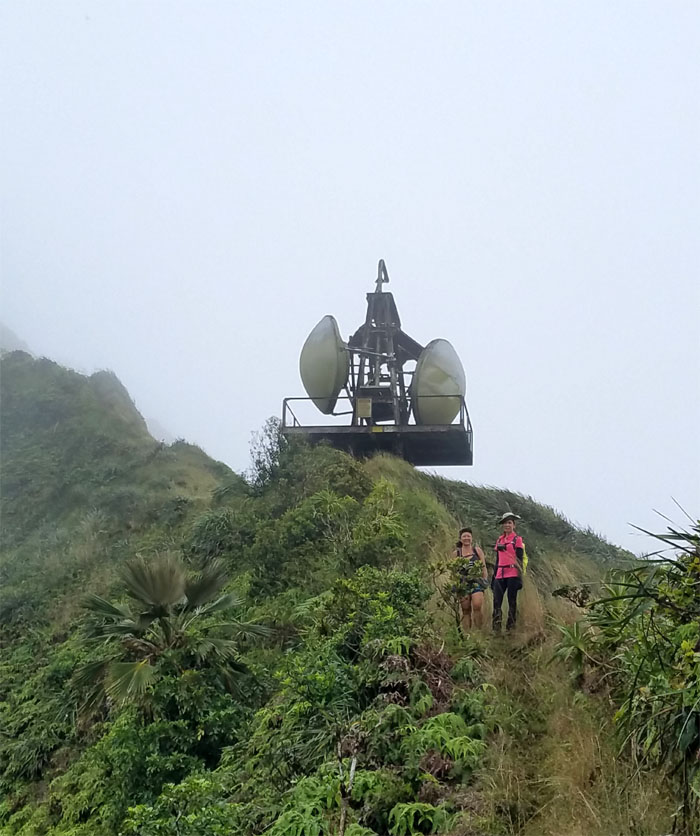
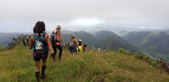
Making our way down the steep hill to the defunct radar station. Photo by Margaret Wilson.
Aren’t you cold? Let’s find out.
Leaving the radar station as we were getting cold. Well, maybe not Laredo. Photo by Ani Lagpacan.
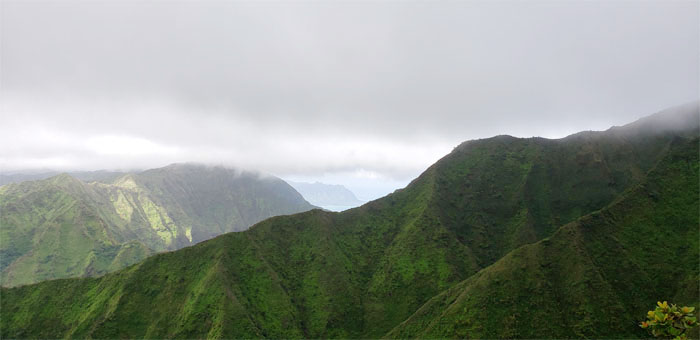
Sweeping views of the Windward side. Photo by Ani Lagpacan.
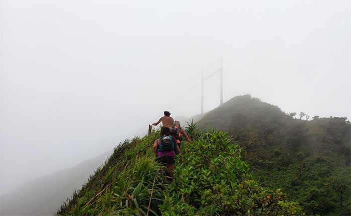
Approaching the power line tower for the grassy knob.
Margaret safe and sound at the 2,760′ grassy summit. Double shaka.
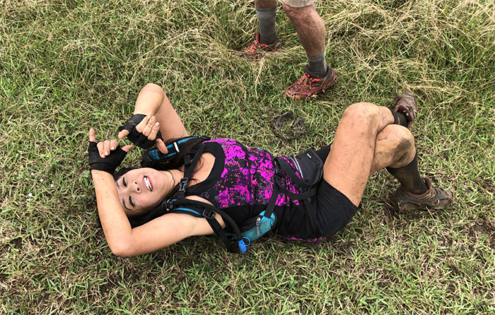
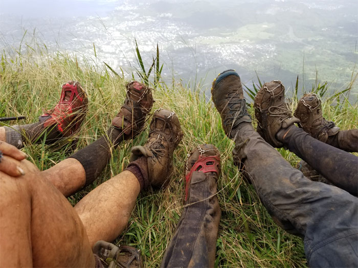
One shoe is not like the others. Photo by Aida Gordon
Going down the “classic Leeward Ko’olau ridge” as Stuart Ball described the trail.
Looking for hikers on the well trafficked ridge.
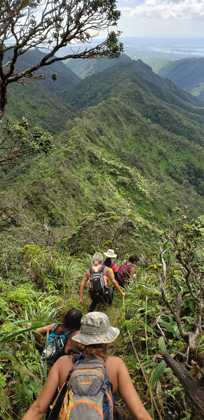
Making our way down the last steep section of the ridge before it leveled off.
Parting ways with Laredo who decided to continue on the ridge towards the hospital.
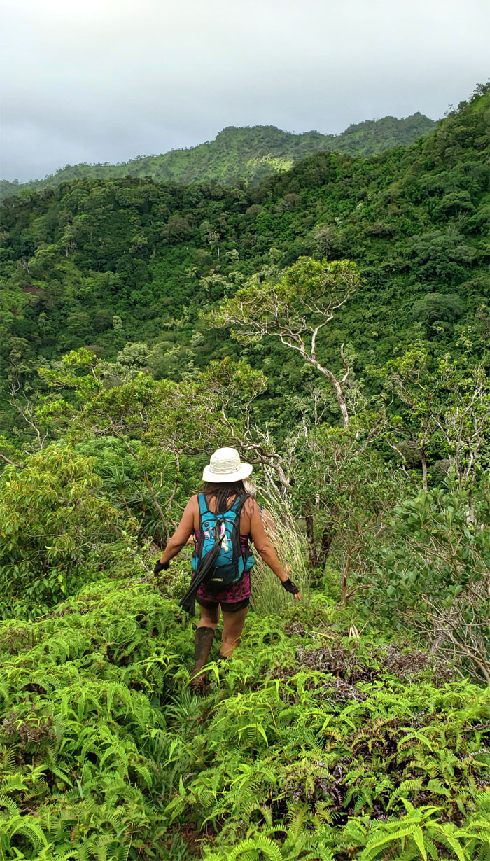
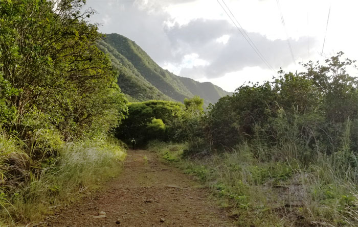
Dropping down to the valley floor.
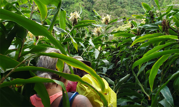
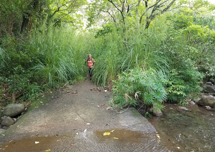
Getting turned around in the towering yellow ginger patch. Look for the power lines.
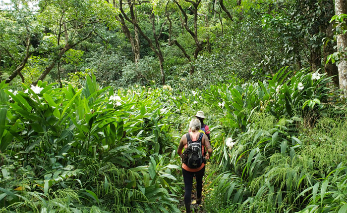
Finding our way out and going through a white ginger patch.
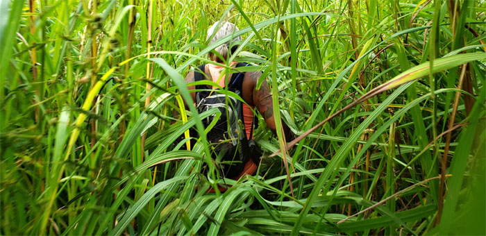
Pushing our way through the insufferable corridor of itchy California grass.
Back on the main trail. Photo by Aida Gordon.
Let’s make like a tire and hit the road. Don’t forget to leave your nickels on the way out. People have to make a living in paradise. Photo by Aida Gordon.
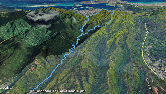
Our saddle and valley hike covered 10.65 miles. Great introductory hike with a fun crew. Post hike meal at Alley Restaurant where during the wait, they ran out of oxtail soup. Just when I thought the day was ending with a bang. Whimper.
Note: I have been made aware that some hikers have been using my blog as a hiking guide and getting lost on the trails. Please note that this blog was made to document the hike for the crew(s) that did it. That is why some of my comments will seem to have no relevance or meaning to anybody outside of the crew(s) that hiked that trail. My blog was never meant as a hiking guide, so please do not treat it as such. If you find inspiration and entertainment from these hikes, that is more than enough. If you plan on replicating these hikes, do so in the knowledge that you should do your own research accordingly as trail conditions, access, legalities and so forth are constantly in flux. What was current today is most likely yesterdays news. Please be prepared to accept any risks and responsibilities on your own as you should know your own limitations, experience and abilities before you even set foot on a trail, as even the “simplest” or “easiest” of trails can present potential pitfalls for even the most “experienced” hikers.






{ 0 comments… add one now }