We spent our last day exploring a manmade cave and tunnel.
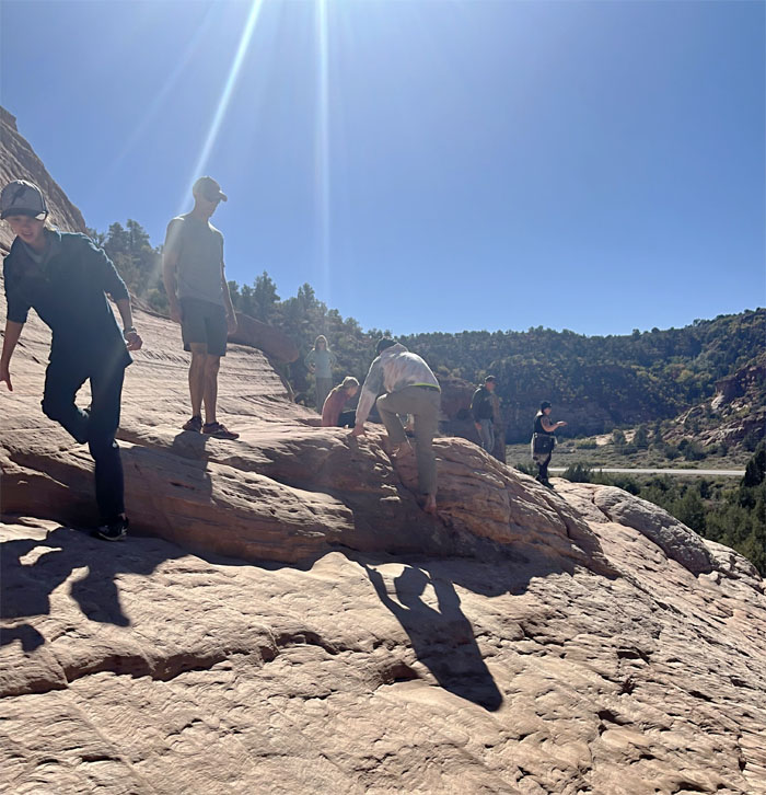
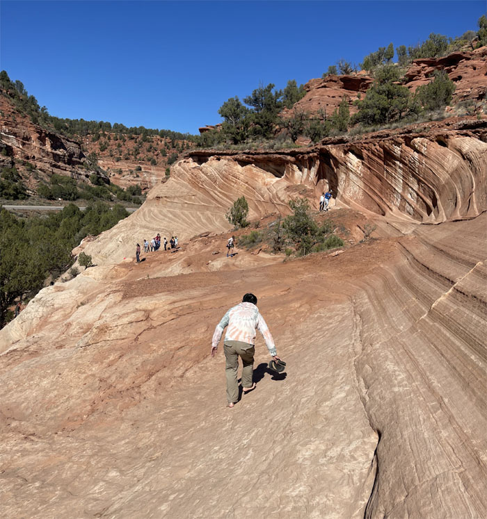
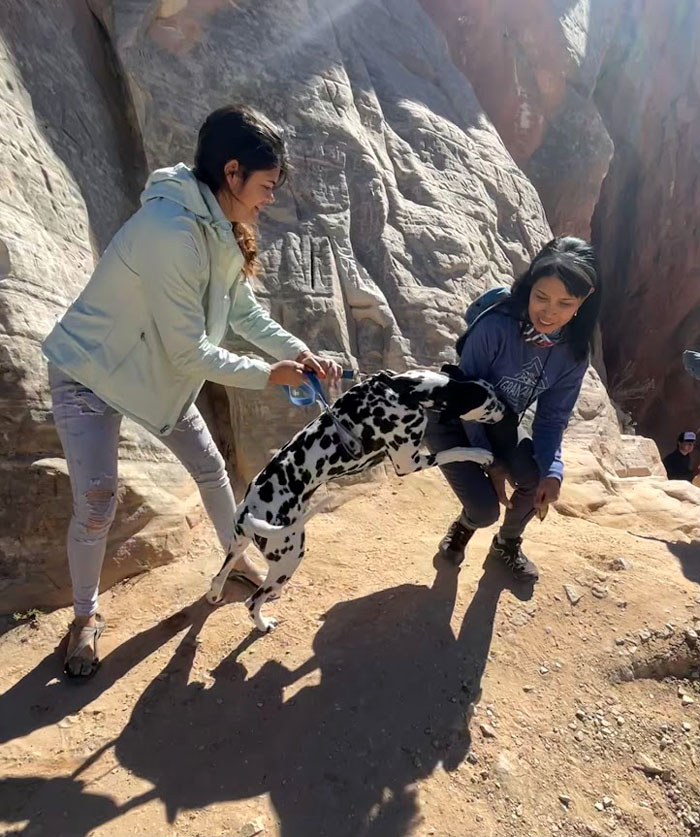
Scrambling up the sloped sandstone face after we parked our car in a dirt lot off Highway 89 near the town of Kanab. Shoes or bare feet are best. Slippers not so much. Photo by Lilyn Avendano.
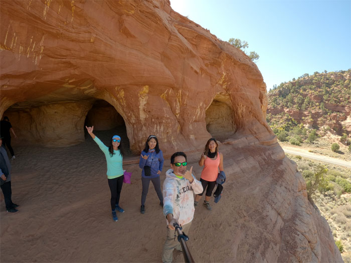
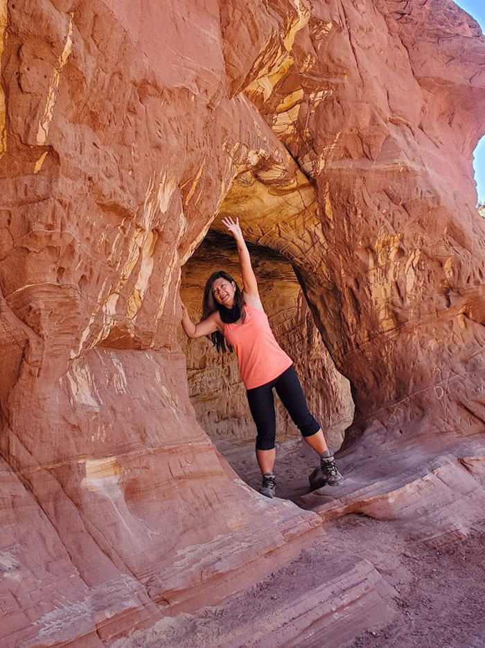
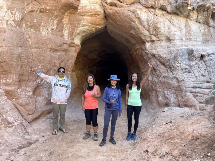
Group photo in front of the man-made caves that were used to mine sand to make iron molds and glass.
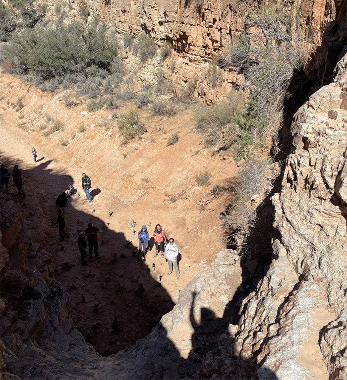
Aida sitting at the edge of a steep drop off. Photo by Lilyn Avendano.
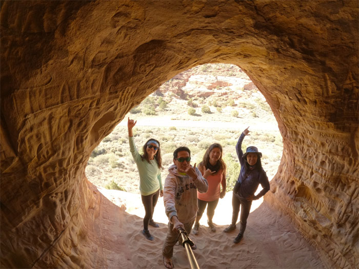
Group photo in front of one of the openings.
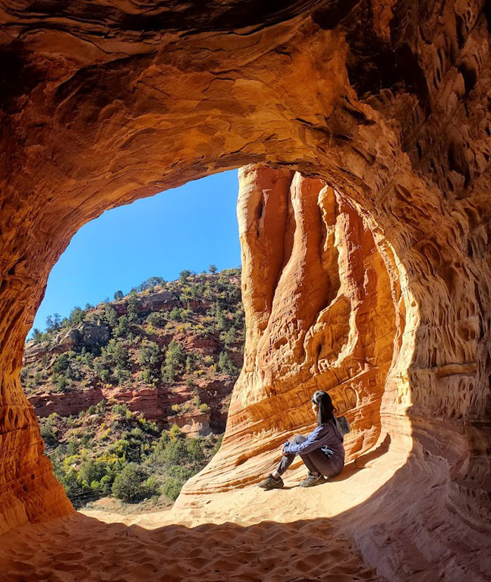
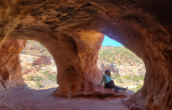
Seeking solitude from the noisy kids playing on the sand floor. Photo by Lilyn Avendano.
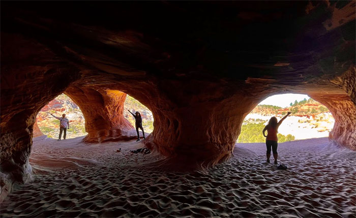
The light filled caves were surprisingly quite roomy in breadth and depth. Photo by Lilyn Avendano.
We left no trace, besides there wasn’t enough space for more graffiti. Photo by Aida Gordon.
Quan standing on the edge of a steep drop off. Photo by Aida Gordon.
Going back down the slippery slope of sandstone. Photo by Lilyn Avendano.
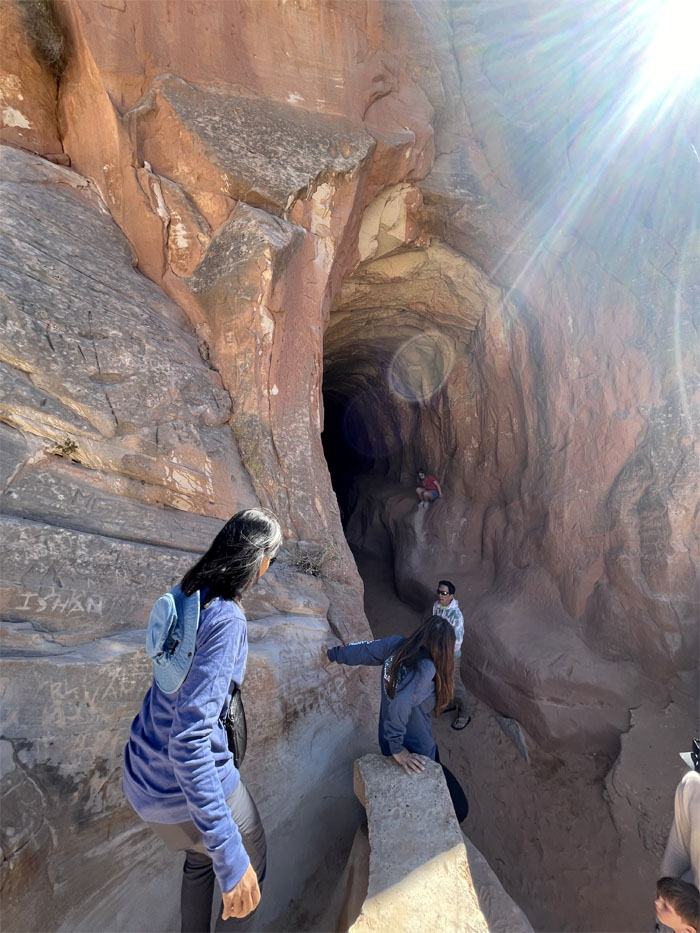
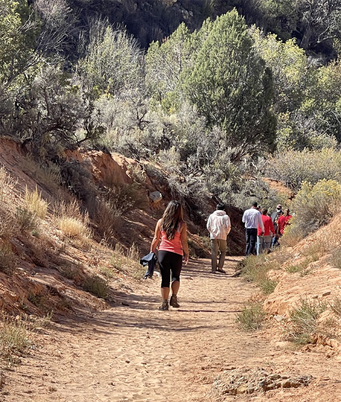
We drove about 11 miles near the Mount Carmel Junction and parked in another dirt lot. Going down the short drop to the entrance. Photo by Lilyn Avendano.
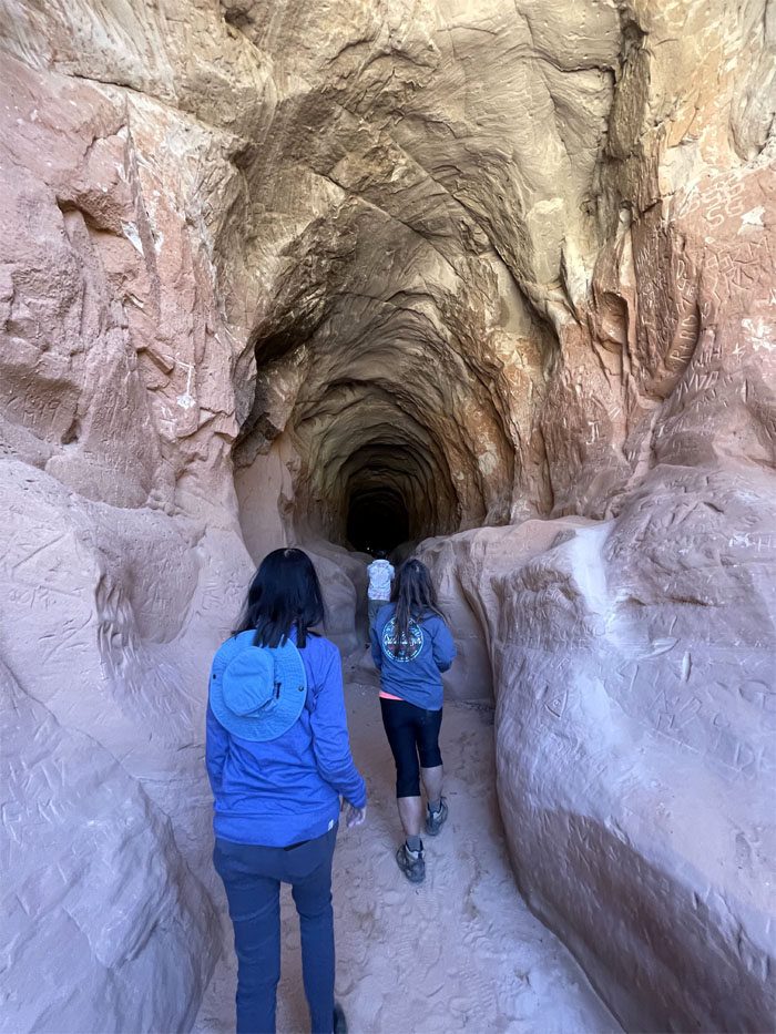
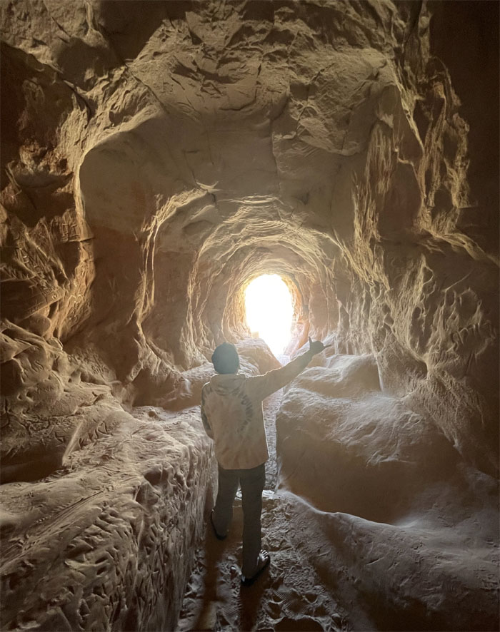
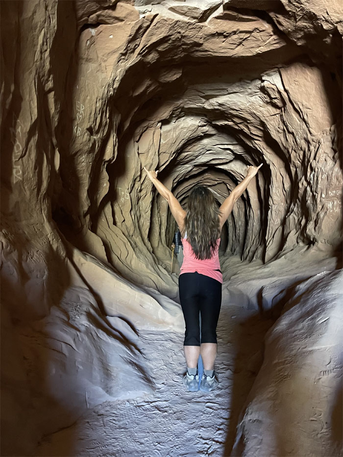
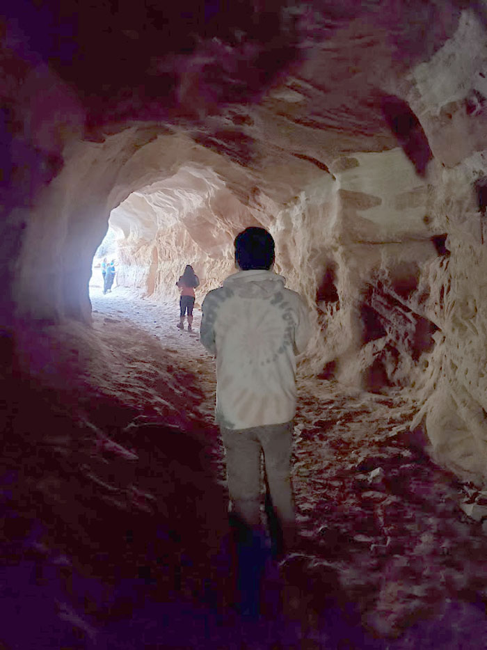
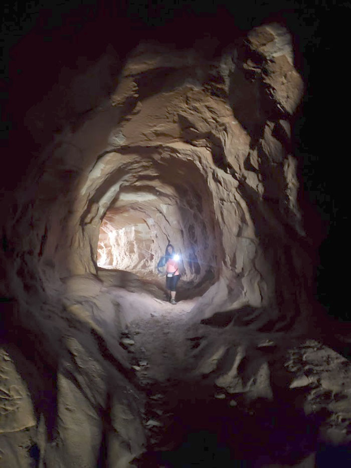
Entering the man-made drainage tunnel that runs under Highway 89. Photo by Lilyn Avendano.
Taking our photos while we could, since we were in the eye of the traffic storm. Photo by Lilyn Avendano.
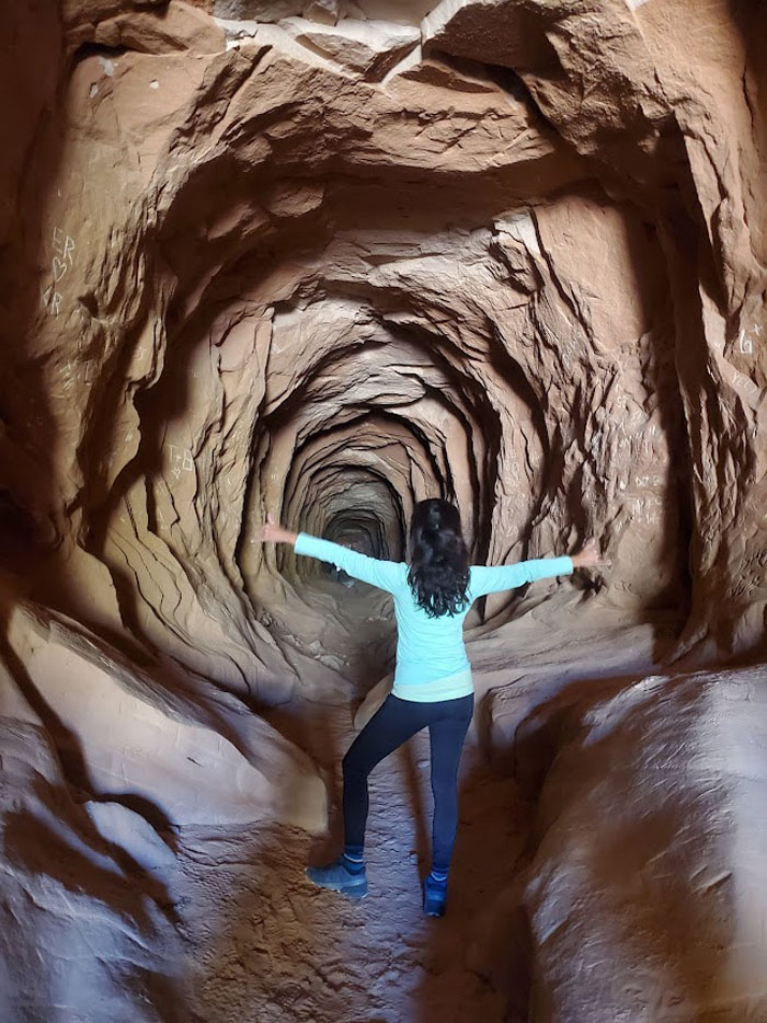
The tunnel was created to provide a drainage outlet for the upper canyons that dump into the North Fork river. Photo by Lilyn Avendano.
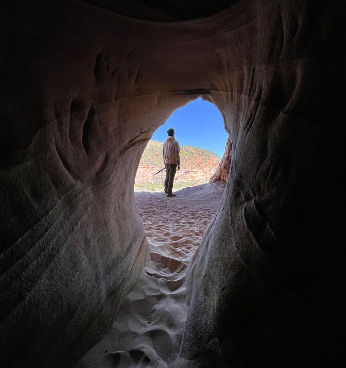
Flowing water over time has carved and wrinkled the sandstone walls into what it is today. Photo by Aida Gordon.
Needless to say, not a good place to visit during periods of heavy rain. Photo by Lilyn Avendano.
Making our way to the washed out exit. Photo by Aida Gordon.
We were told that there was a pleasant surprise at the end. Ice cream? Photo by Quan Haberstroh.
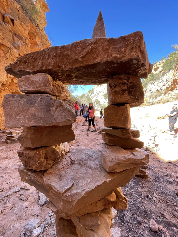
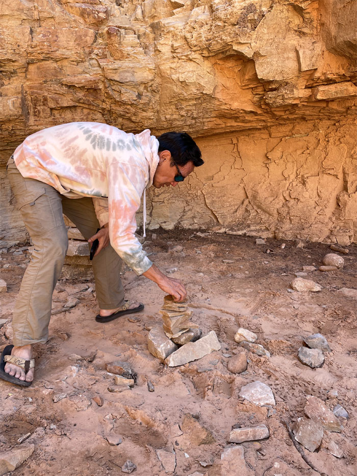
Building my very own cairn, a skill which might come in handy back home. Photo by Quan Haberstroh.
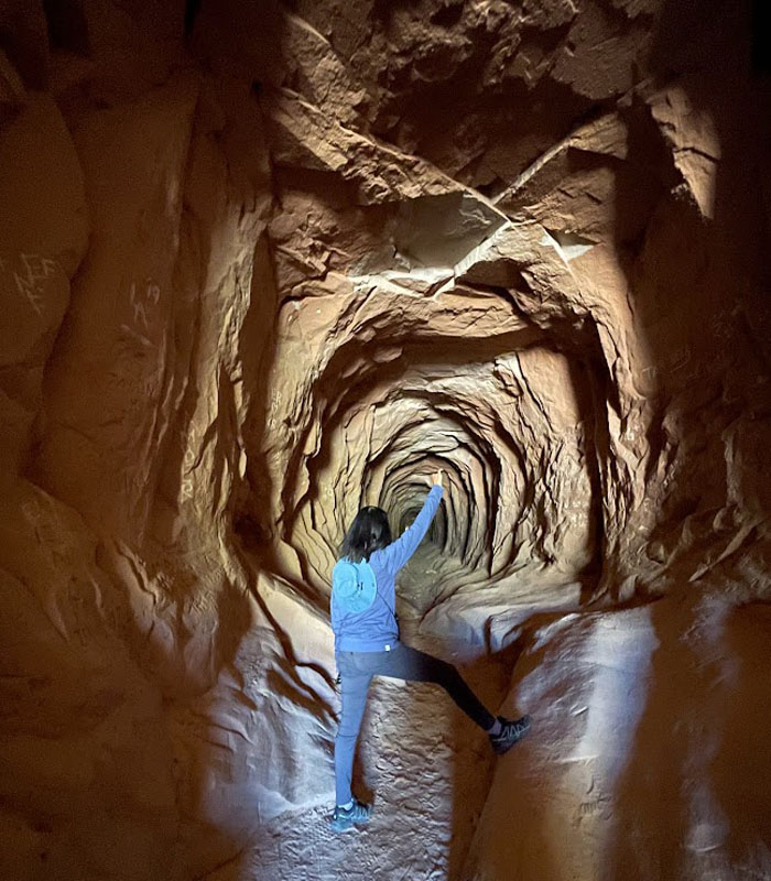
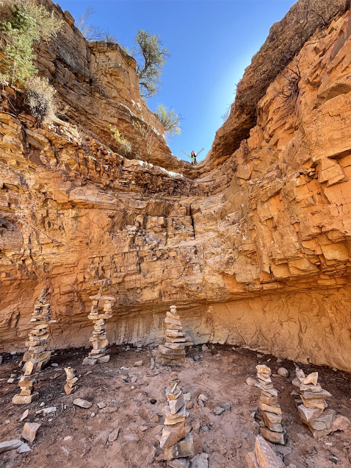
Somebody climbed up to gain …
… a higher perspective. Photo by Lilyn Avendano.
Leaving the build your own cairn workshop. Wish the waterfall still flowed back there. Photo by Lilyn Avendano.
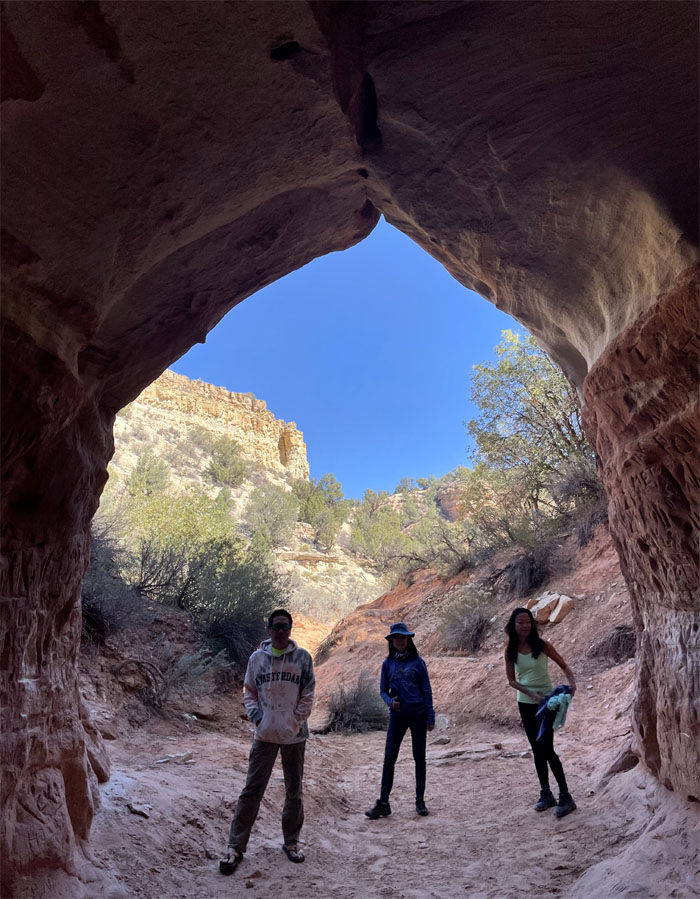
Group photo before going back into the tunnel.
Quan making her way back through the roughly 500′ long drainage system. Photo by Aida Gordon.
What a nice fur coat you would make. Photo by Lilyn Avendano.
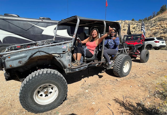
I don’t think that’s our rental car. Post hike meal at Cameron Trading Post where the Navajo Beef Stew with fry bread was excellent. We then drove to Phoenix to prepare for our flight home the next day. Many thanks to the ladies for arranging the logistics and hiking itinerary. Fun times with good company. Photo by Lilyn Avendano.
Note: I have been made aware that some hikers have been using my blog as a hiking guide and getting lost on the trails. Please note that this blog was made to document the hike for the crew(s) that did it. That is why some of my comments will seem to have no relevance or meaning to anybody outside of the crew(s) that hiked that trail. My blog was never meant as a hiking guide, so please do not treat it as such. If you find inspiration and entertainment from these hikes, that is more than enough. If you plan on replicating these hikes, do so in the knowledge that you should do your own research accordingly as trail conditions, access, legalities and so forth are constantly in flux. What was current today is most likely yesterdays news. Please be prepared to accept any risks and responsibilities on your own as you should know your own limitations, experience and abilities before you even set foot on a trail, as even the “simplest” or “easiest” of trails can present potential pitfalls for even the most “experienced” hikers.

{ 0 comments… add one now }