
I had wanted to fit in a somewhat challenging hike during my stay in Japan, but could not get the logistics worked out. So upon the suggestion of a fellow hiking friend, I journeyed to the town of Mitake to bag three mountain summits in a day.
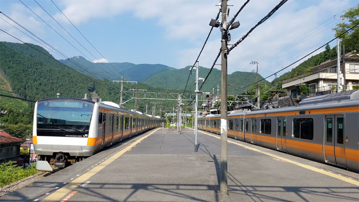
Mitake Station
Three train transfers later and I was in the town of Mitake. Contrary to my wife’s admonitions that I would be the only fool hiking in this horrid heat, I found myself in good company with dozens of foolish hikers.
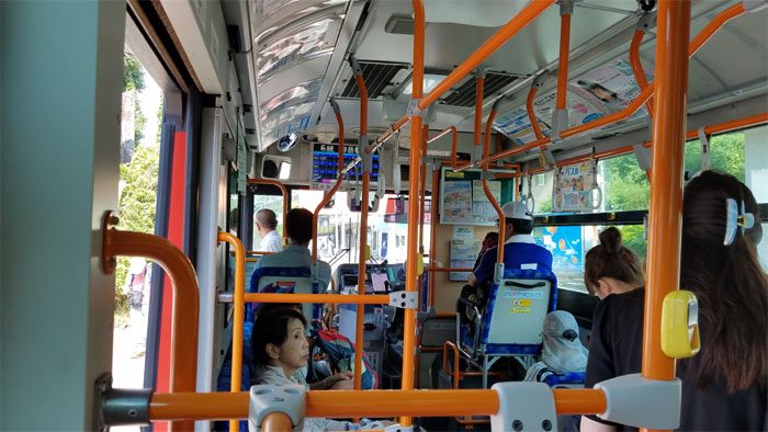
Bus stop
I took a left upon leaving the train station to find the bus waiting down the road, luckily I got a seat early as the bus soon filled up with other hikers and a couple locals. Having a suica (pre-paid) card is highly recommended as you don’t have to fumble for the bus fare when entering and exiting public modes of transportation.
Bus stop
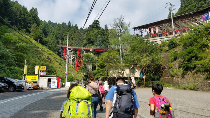
The bus discharged her passengers, who all made a beeline for the cable car. Aren’t we hiking? In 100 degree plus weather? Who is the stupid one and the smart ones? Questions best left unanswered.
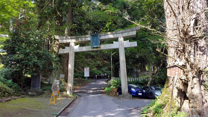
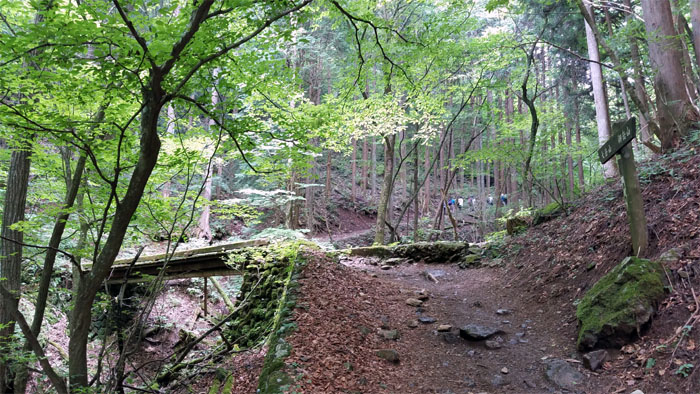
Road
I decided to not “cheat” on the hike by riding the cable car and soon caught up with an elderly couple on the road. They don’t make them like they used too.
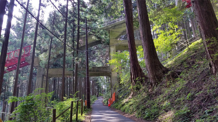
Cable car
The cable car tracks soon intersected with the road and I could hear and see the cable cars coming and going. I soon yielded to the numerous cars and mopeds going up the road, as I found out that people actually live and work on the top of this mountain. It’s not just a shrine but their village as well.
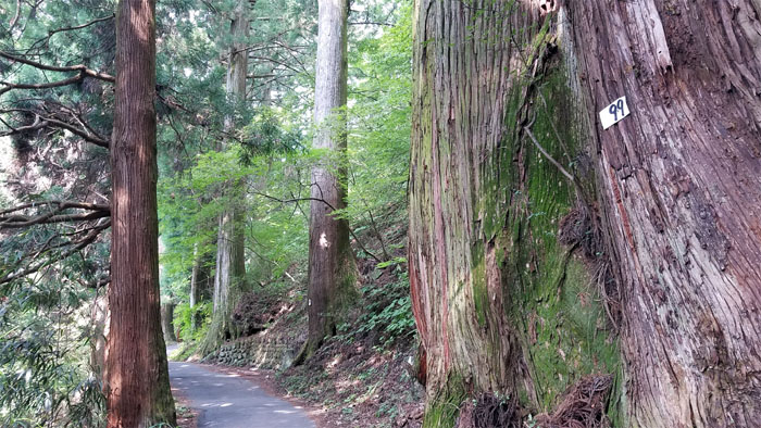
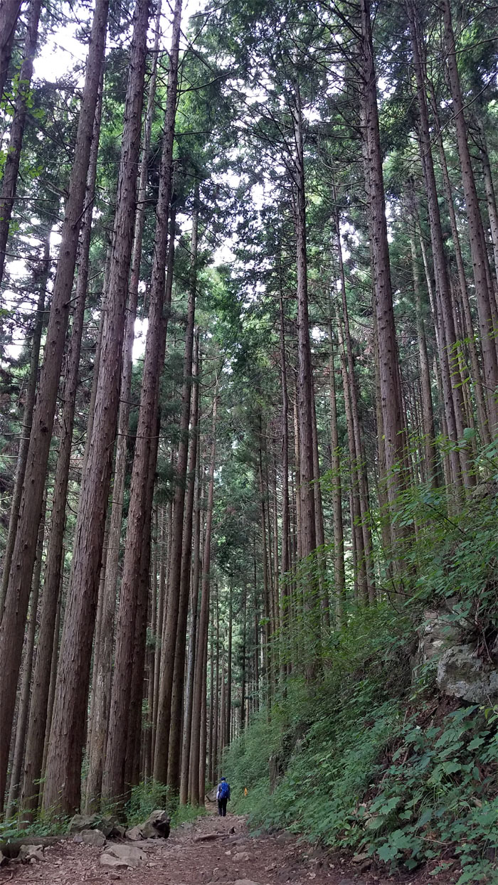
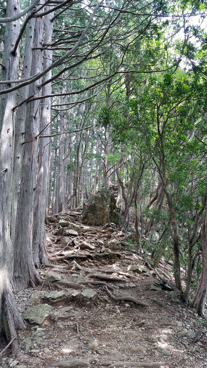
How many trees?
Others have commented how monotous the trail is and they started counting trees to pass the time. All I remember is it started off with roughly 755 trees and I was now down to 99 trees on the trail.
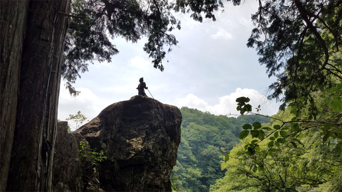
What kind of picture is that?
Bear sighting notice. And here I am without any jingling bear bells. Well, at least I was near the top and heard other voices, so I was merging with a target rich environment. Praying for fat people.
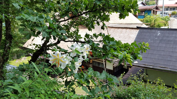
Baba-ke Oshi-Jutaku
Lilies overlooking a tangible cultural thatched building built in 1866.
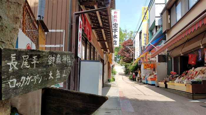
Waikiki?
Preparing to walk through what I like to call the tourist tunnel trap; most shopkeepers had just opened and ignored me as they probably pegged me as destitute in silver, but not in spirit. Or so I would like to think.
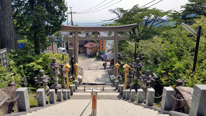
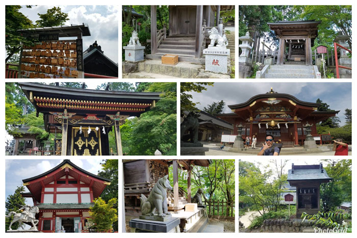
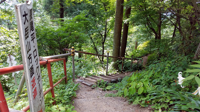
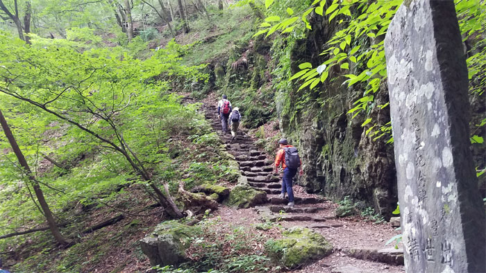
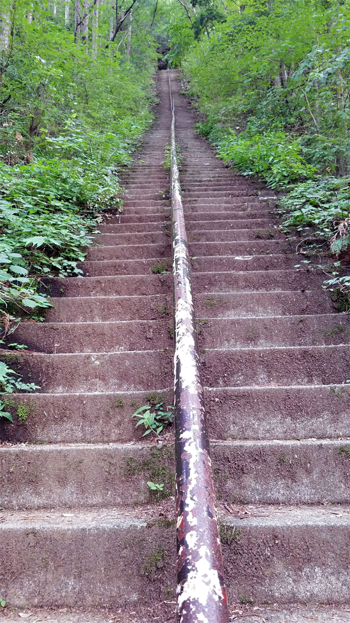
Stairs
No escalators to be seen. The start of multiple flights of stairs that leads to the top. I call this temple walking.
More stairs
Nor were there any working elevators as well. I guess this is one way to keep the peoples guts in check.
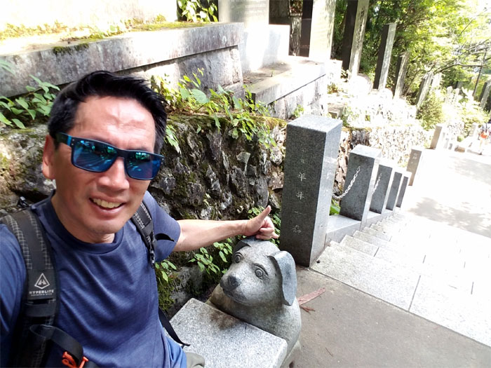
Sit
This temple besides being the one of the oldest in the country is also pet friendly. Many pet owners bring their four legged friends here to get blessed.
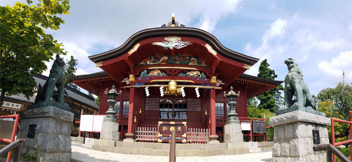
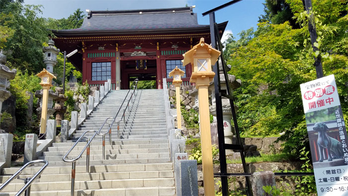
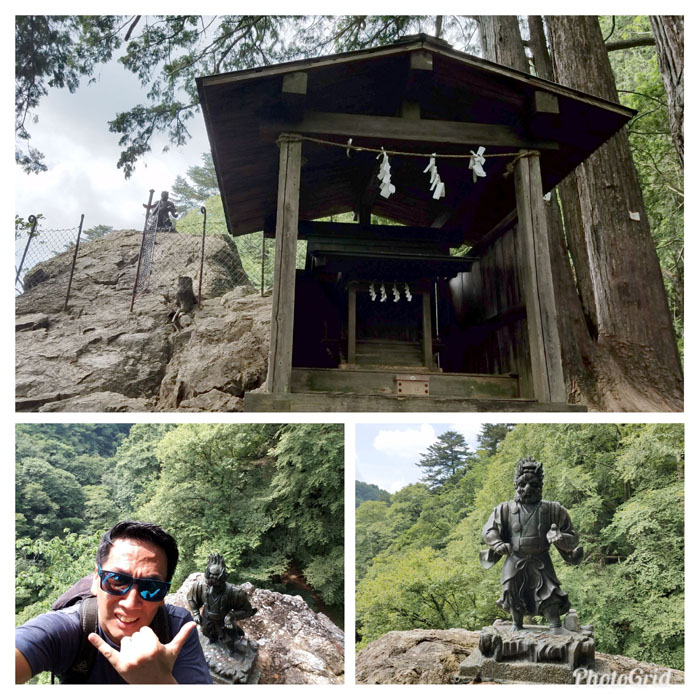
Musashi-Mitake Shrine
The shrine’s summit at 929 meters or 3,047′ was just as muggy and sticky at the top as it was at the bottom.
Musashi-Mitake Shrine
Touring the hot and humid shrine grounds, which pays homage to wolves as one guided a certain Prince Yamato Takeru back to safety after getting lost in the mountains.
Musashi-Mitake Shrine
Looking out at one of the mountains, not sure if it was on my hiking route today.
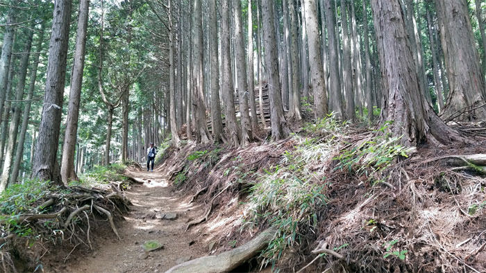
Trail
Walking back down the stairs, I took the right trail that dropped down into the valley.
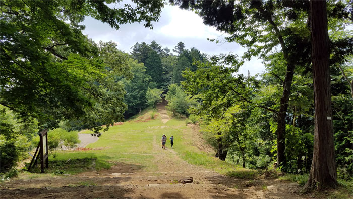
Nagao-daira
Passing a ramen stand as I detoured to one of the five best viewing spots, or at least that’s what the map claimed, I saw a bunch of kids playing whack the watermelon. Not a bad way to keep the kids entertained, fed and cooled at the same time.
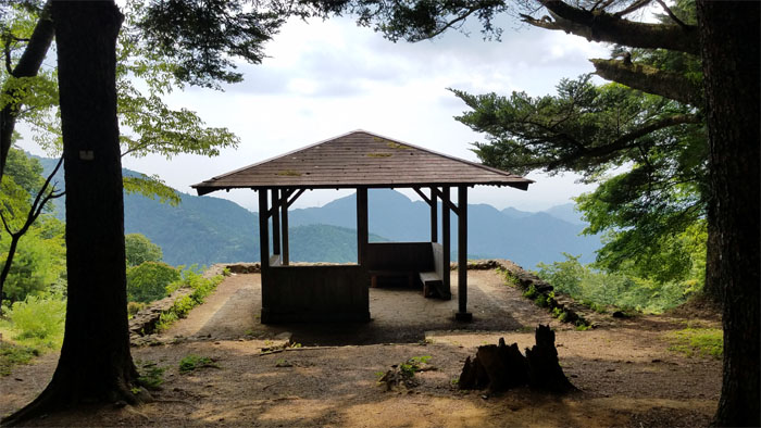
Nagao-daira
Viewing the observation deck overlooking the surrounding mountains, while a ham operator nearby was chattering away. Japan has the second largest population of “old man” and “young lady” operators.
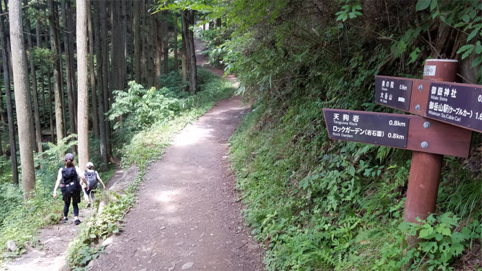
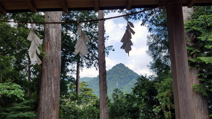
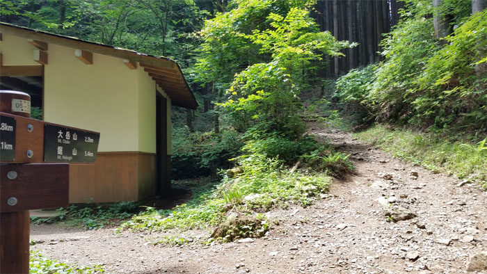
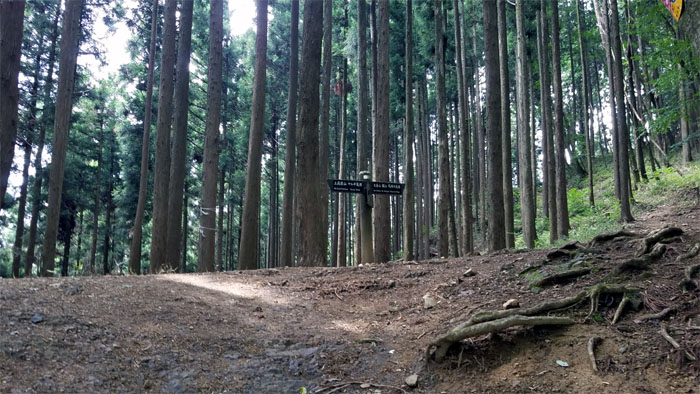
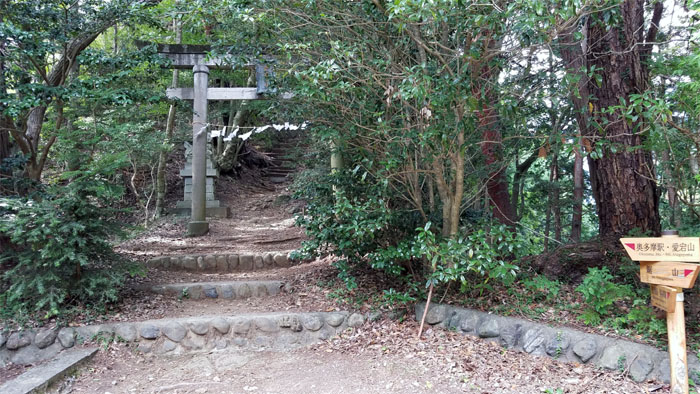
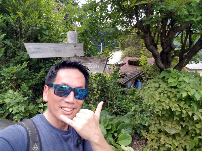
Junction
Just follow the signs.
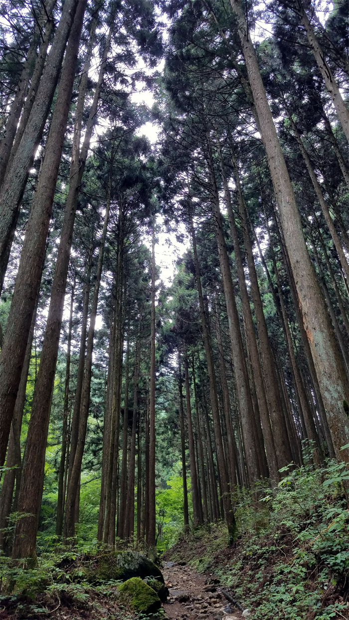
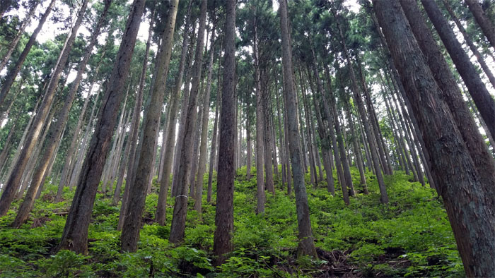
Shinrin-yoku
Forest bathing, a term coined by the Japanese in the late 80’s, on the trail. Not to be confused with sun bathing.
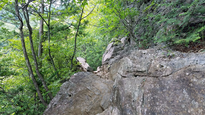
Tengu-iwa rock
I climbed up this boulder using chains bolted into the rock, yes chains. They don’t mess around with ropes, webbing or printer cables here in Japan.
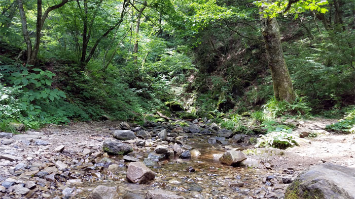
Yozawa River
Crossing the trickling stream. No flash flood conditions here.
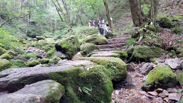
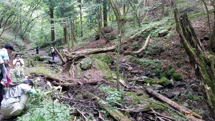
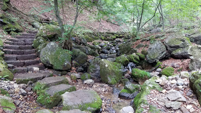
Rock Garden
Stepping foot onto the moss encrusted rocks that winds its picturesque way through the valley.
Rock Garden
Giving the macro photographers a wide berth as I passed them on the trail.
Rock Garden
The stone steps soon lead me to a shelter where people ranging from the infantile to the elderly were enjoying themselves in this idyllic valley.
Rock Garden
I heard fall season is the best time to catch the changing color of the leaves in this valley.

Rock Garden
The stepping rock trail carved its way through narrow rough hewn rocks, close but not claustrophobic close.
Rock Garden
Playing in the shallow end to cool off.
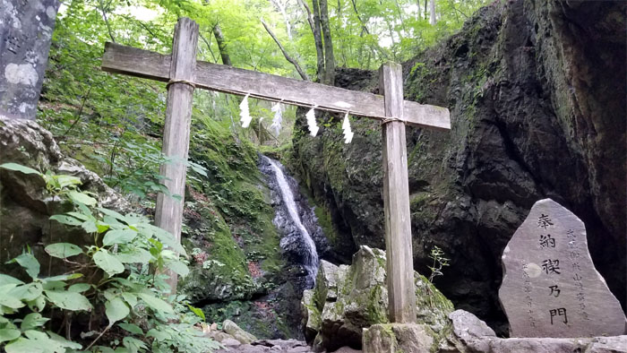
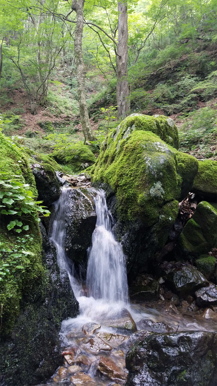
Ayashironotaki Falls
Local monks and other seeking to emulate their lifestyle, often stand underneath the icy waterfall chanting mantras and seeking to temporarily deprive themselves of sensual pleasures. People back home do this for fun and sensual pleasures.
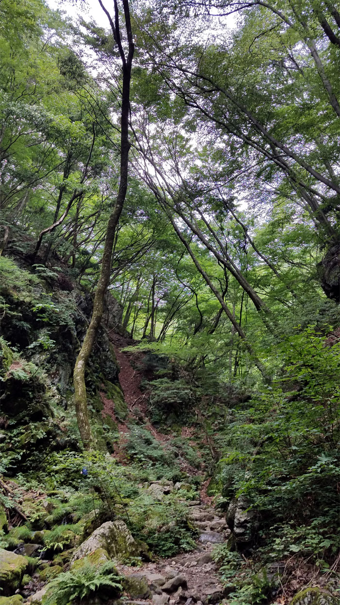
Trail
Leaving the valley behind, with all my sensual pleasures intact.
Bathroom
Last chance to answer the call of nature or otherwise you will be doing it in nature.
Trail
Back to our regular program of forest bathing, does this count as a sensual pleasure?
Bridge
Crossing the bridge to someplace. Someplace that has vending machines filled with cold carbonated beverages. Must get rid of my sensual pleasures. Head back to waterfall.
Junction
Took the right to continue on the trail to the big peak.
Trail
Met another hiker coming from the other way. Konnichiwa.
Trail
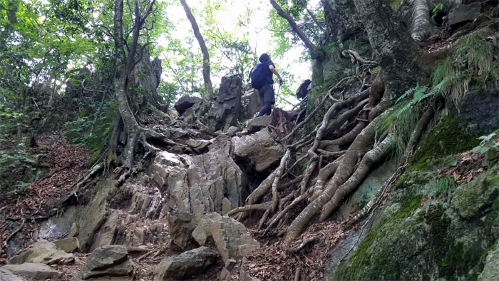
The mostly flat trail eventually yielded to a rockier section with bolted chains for support.
Trail
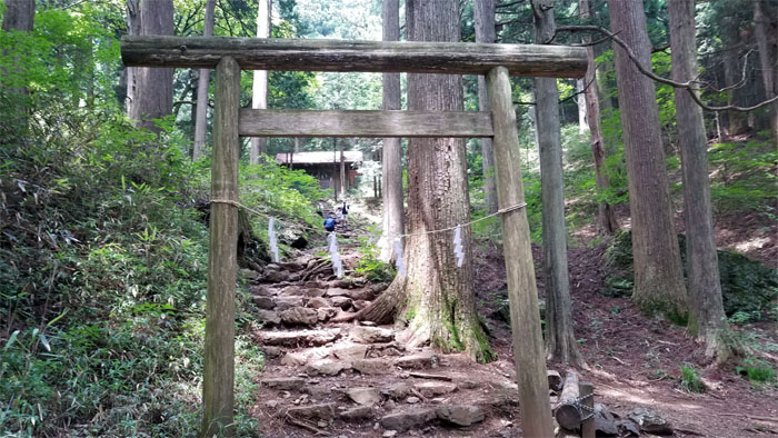
Passing underneath a weathered Shinto gateway that lead to a seemingly abandoned hut.
Trail
Rooting and rocking my way up to the top.
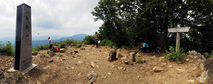
Mount Otake
Reaching the 1,266m (4,153′) top and no vending machines in sight. What kind of country was I hiking in? I checked my water supply and found I had a couple gulps left. The heat was not backing off. I nursed what was left of my water and ate my bag of nuts before taking my leave of the summit.
Kuma
Another bear sighting notice. What was the joke about running away from bears? You don’t have to be the fastest, just not the slowest? Oh snap, I am the slowest.
Trail
Rough hewn rocks interrupted the continuity of the tree bordered trail. More chains for support.
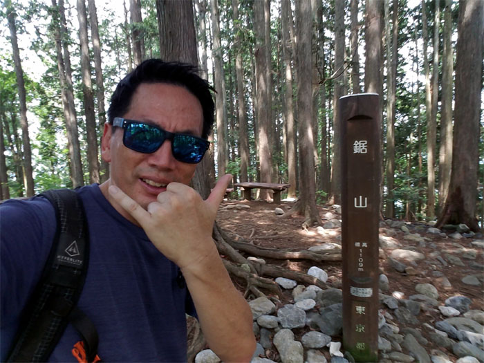
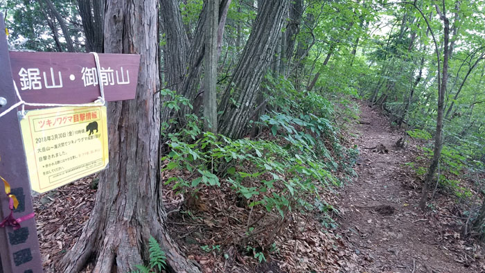
Mount Nokogiri
I reached the 1,090m (3,576′) summit with no views but at least they were benches to sit on, but no vending machines. My water was all gone and the heat was still present and stifling.
Trail
Well, at least it was all downhill. Right?
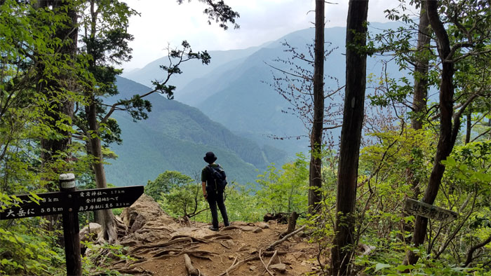
Scenic point
This hiker stopped to linger at this scenic point, as I was out of water and not breath, I continued my hurried way down the trail.
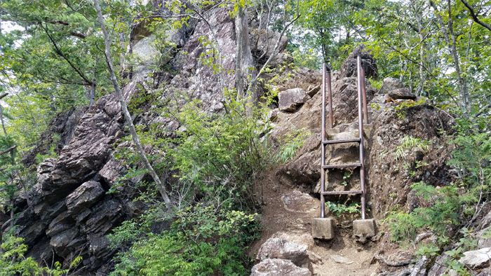
Trail
Climbing over the ladder on another rockier section.
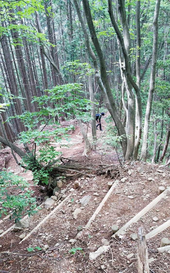
Trail
Looking back at the switch backs that I had descended through the densely populated forest.
Trail
I was not out of the woods yet. Literally. I crossed a parking lot with some hikers, looking in vain for a vending machine and continued on the trail. Going back uphill.
Shrine
The faux shrine signaled that I was close to civilization and vending machines.
Stairs
Looking back at the steep and long flight of steps that I had just come down.
All pau
I ended up in a residential neighborhood. Still no vending machines. Was I not in Japan? Thirsty and nowhere near heat debilitating induced conditions, I walked to the train station and they were out of Coke! I had to settle for a carbonated and sickly sweet drink. The only consolation was that I boarded the express train to Shinjuku. No transfers. Straight back to the hotel.
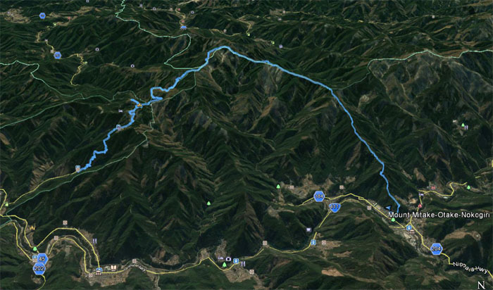
GPS Tracks
My afternoon sauna hike covered 9.66 miles through ridges and stream soaked valleys. Post hike meal at Standing Sushi. Love my sushi.
Note: I have been made aware that some hikers have been using my blog as a hiking guide and getting lost on the trails. Please note that this blog was made to document the hike for the crew(s) that did it. That is why some of my comments will seem to have no relevance or meaning to anybody outside of the crew(s) that hiked that trail. My blog was never meant as a hiking guide, so please do not treat it as such. If you find inspiration and entertainment from these hikes, that is more than enough. If you plan on replicating these hikes, do so in the knowledge that you should do your own research accordingly as trail conditions, access, legalities and so forth are constantly in flux. What was current today is most likely yesterdays news. Please be prepared to accept any risks and responsibilities on your own as you should know your own limitations, experience and abilities before you even set foot on a trail, as even the “simplest” or “easiest” of trails can present potential pitfalls for even the most “experienced” hikers.
{ 0 comments… add one now }