
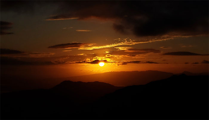
It was time for another camping weekend in the mountains.
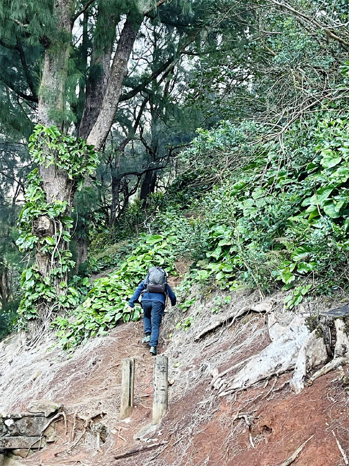
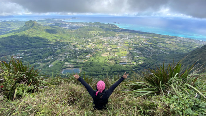
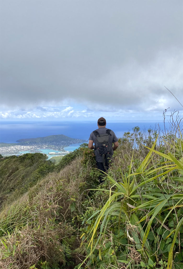
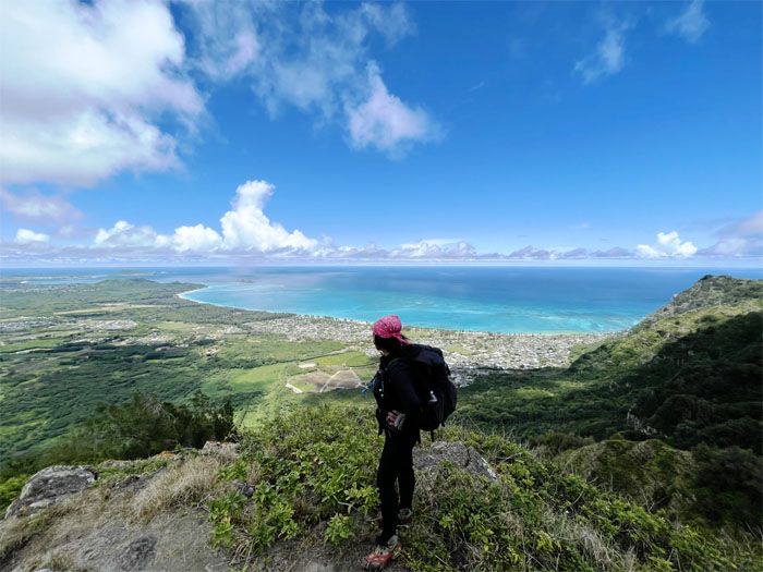
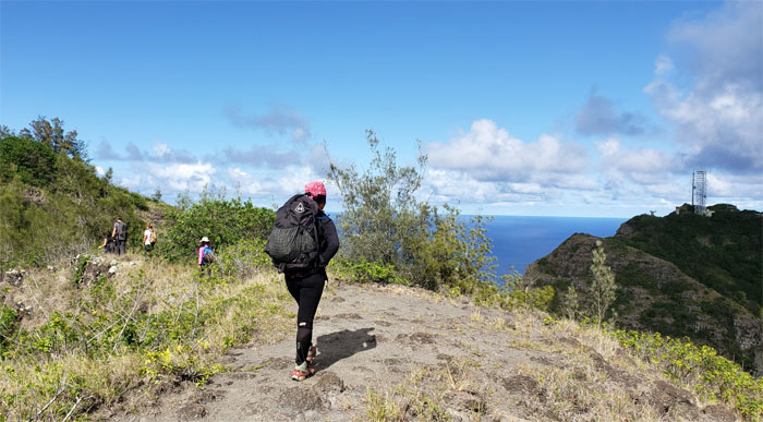
Pali Lookout
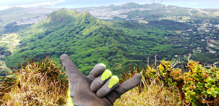
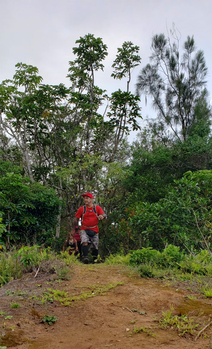
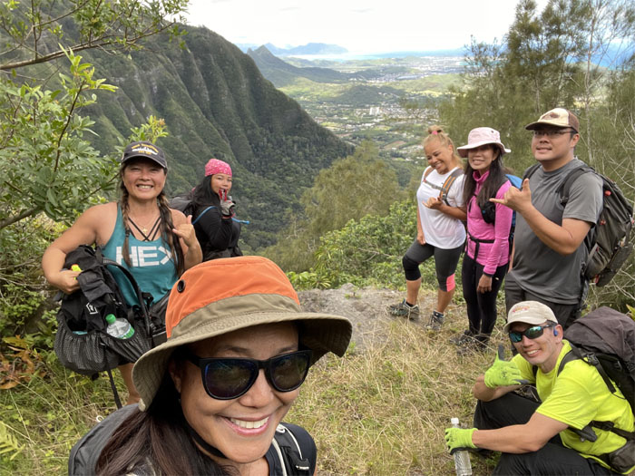
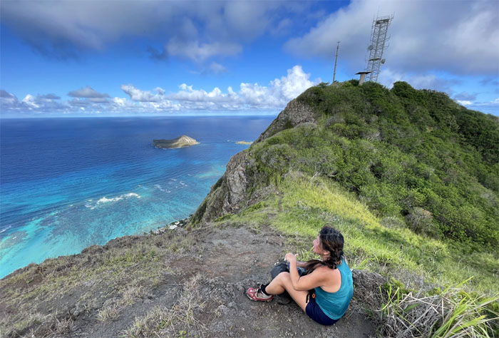
Thanks to Lilyn for dropping me off to begin my brief solo hike. Photo by Lilyn Avendano.
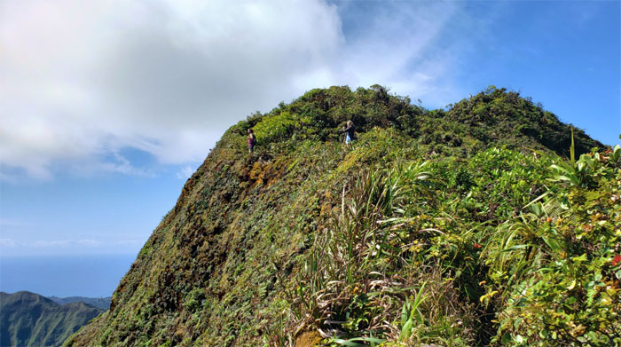
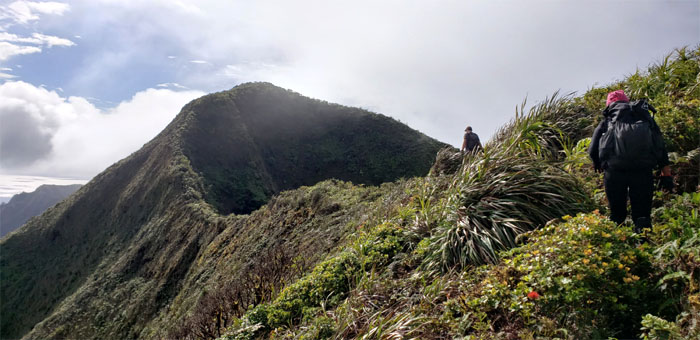
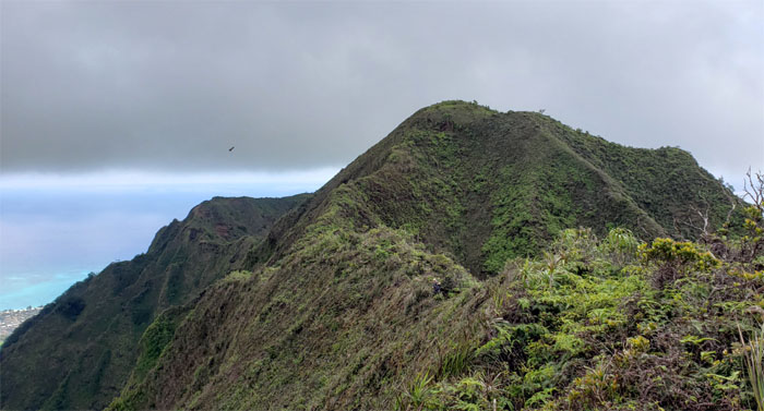
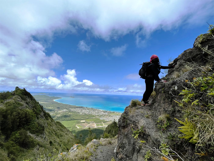
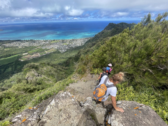
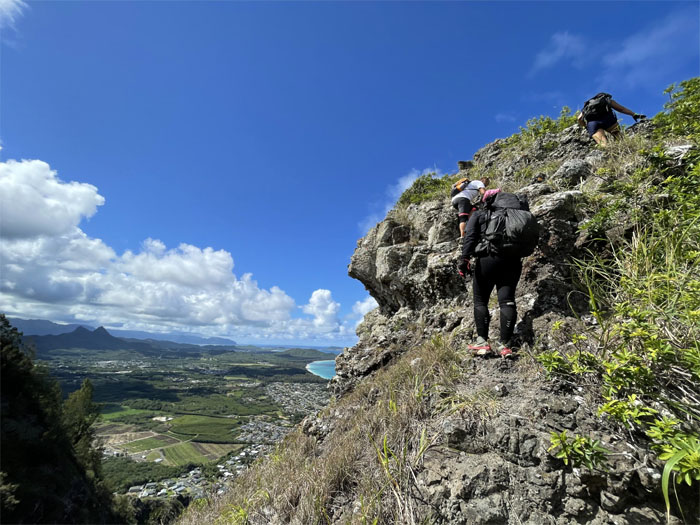
Pali Notches
I soon ran across a group of hikers who were climbing down the second notch. They asked me two questions. Have you done this before and where is the rock formation? I could only answer one of their questions to the best of my knowledge. I asked them what their route was through these mountains. They could not answer my question. Or more accurately, All Trails could not answer it for them.
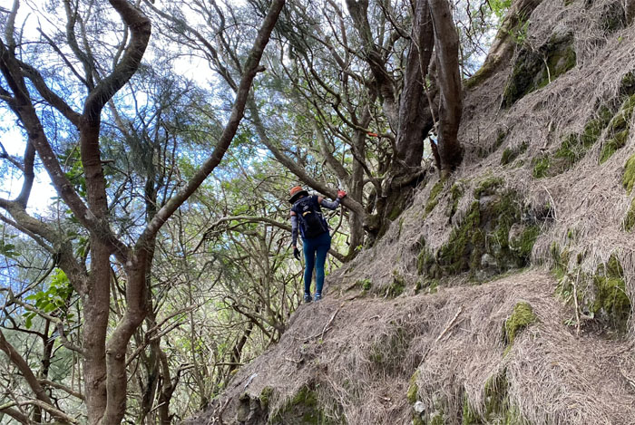
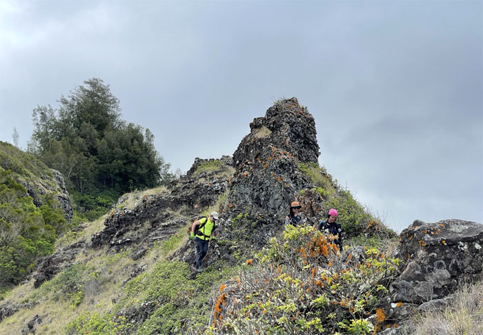
Chimney
I then ran across another solo hiker, Joy, who climbed the “rock formation” with me and gave me a good scare coming around the contour. Luckily the other group decided to trust their gut intuition rather than All Trails and turned around.

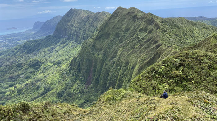
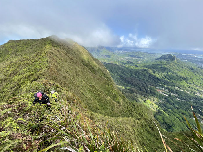
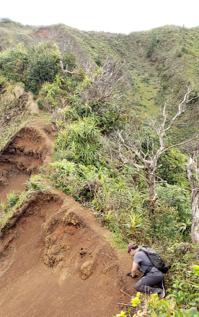
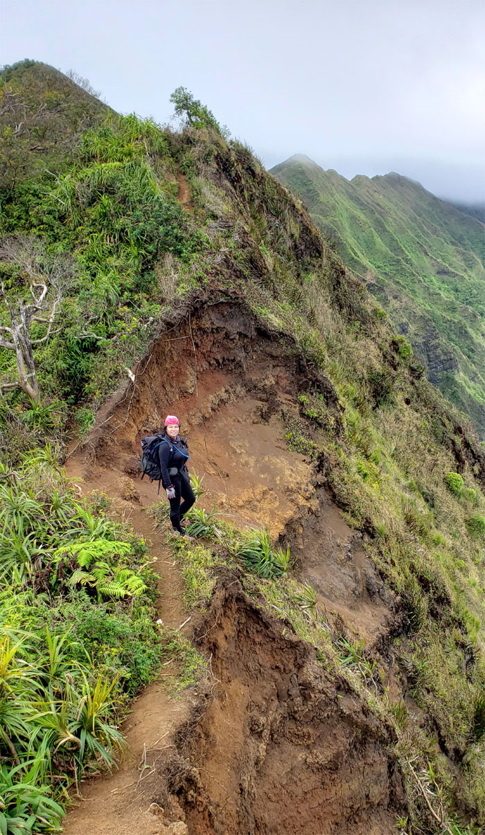
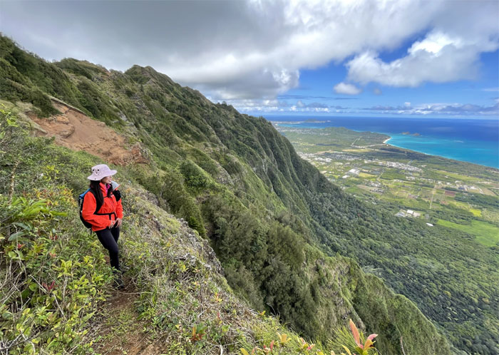
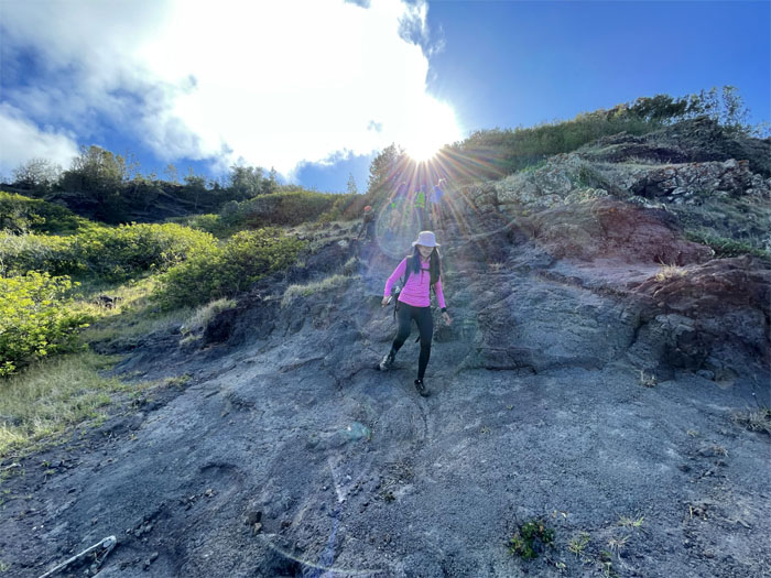
Mud Wall
Watching Joy approach the mud wall with clear views of the Windward coastline and mountains behind her.
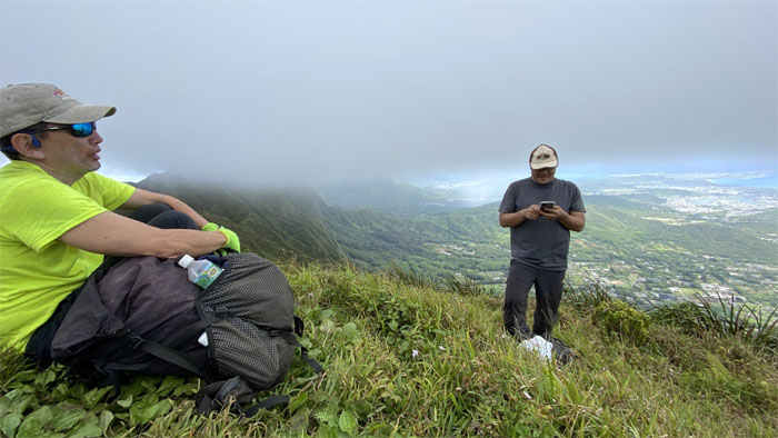
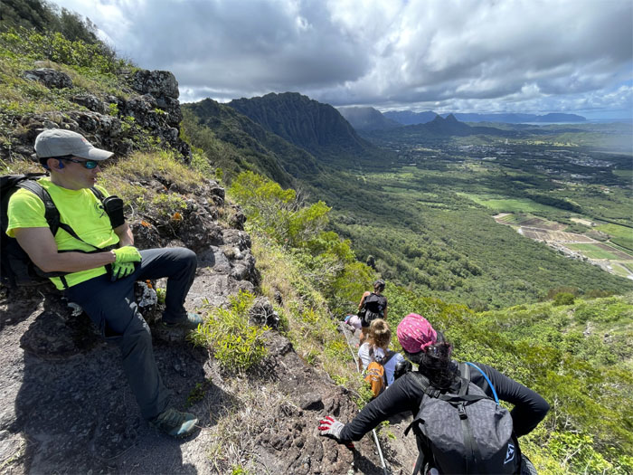
Nu’uanu Saddle
Crossed paths with two hikers who were planning on going down to the Pali from the Kalawahine Trail. Thanks to All Trails.
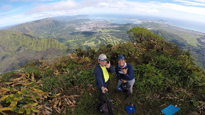
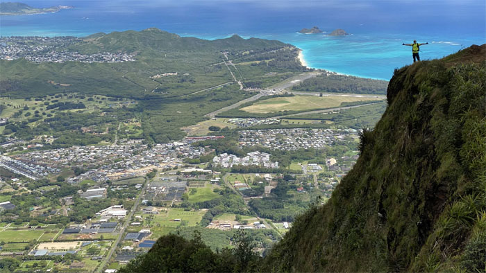
Konahuanui
Uncommonly clear views on top of the highest peak on the Ko’olau Mountain Range.
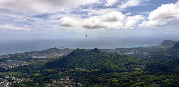
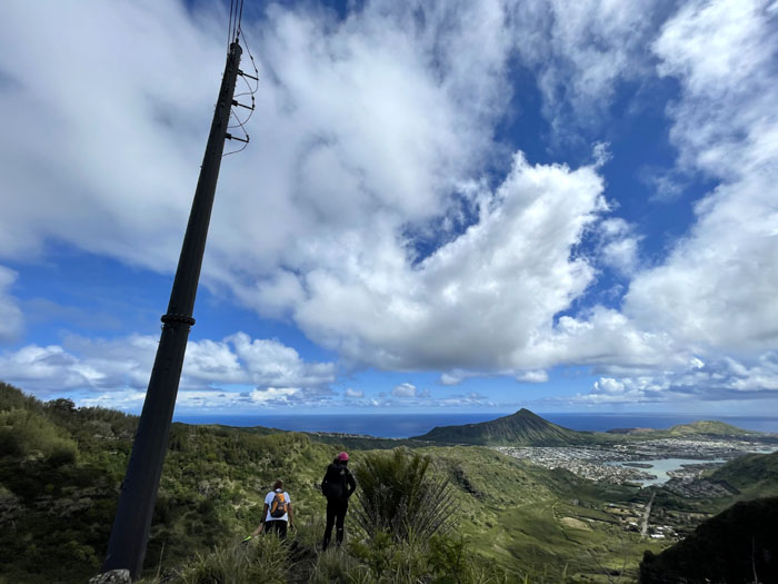
Olomana
Watching paragliders soaring on the thermals as they drifted lazily through the sky.
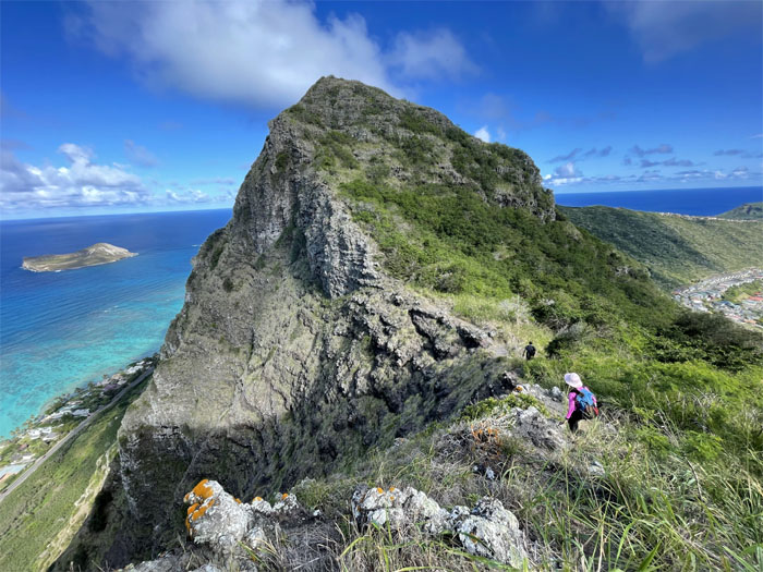
K2
Joy descending down from the two large testicles.
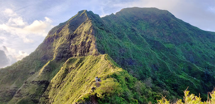
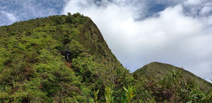
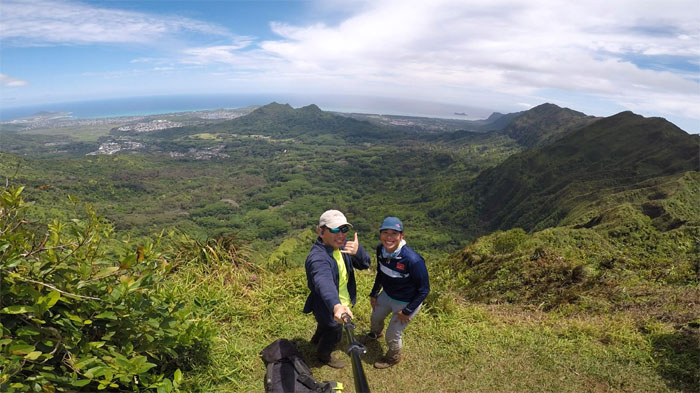
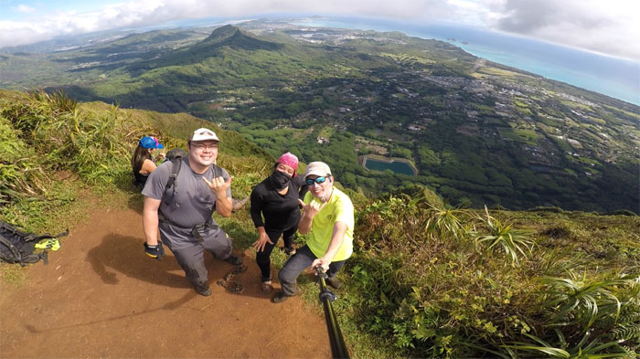
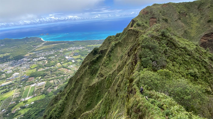
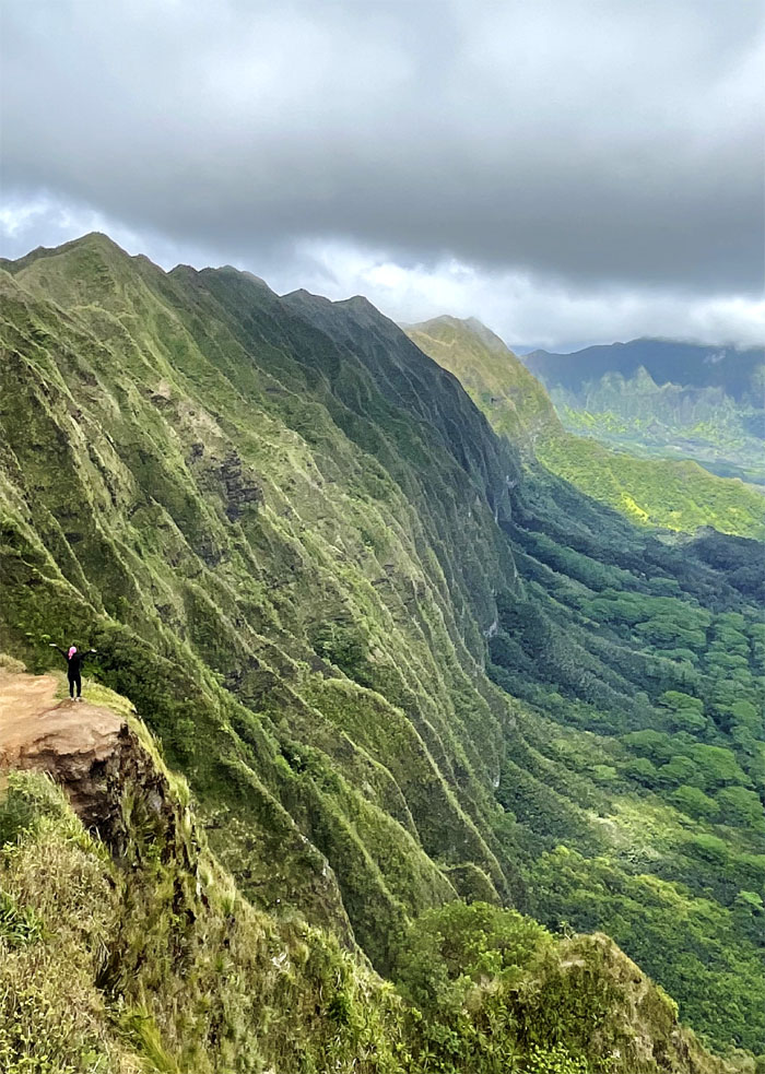
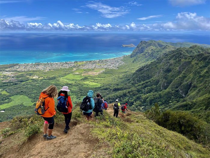
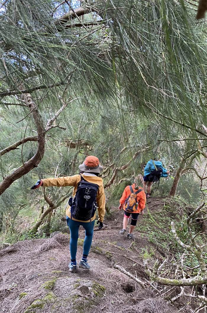
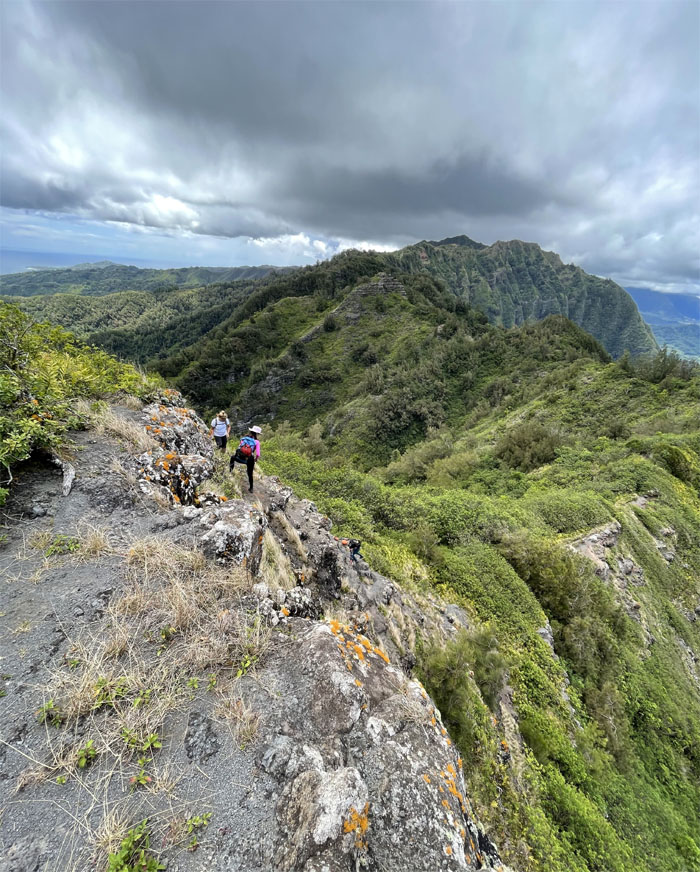
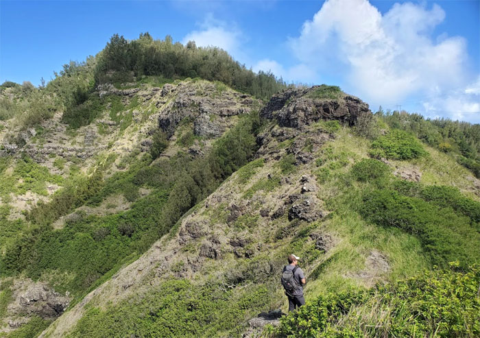
Ko’olau Summit Ridge Trail (KSRT)
Walking into a postcard painted by fluted flanks cascading from the crest of the Ko’olau Mountain Range. Photo by Joy Rodriguez.
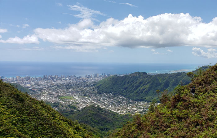
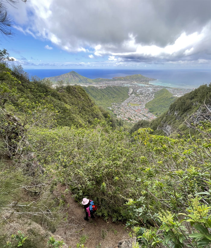
Manoa Middle Summit
Panoramic views of Maunawili Valley and points beyond.

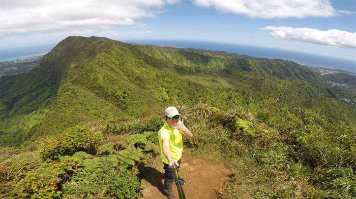
KSRT
Lost in a sea of green. Photo by Joy Rodriguez.
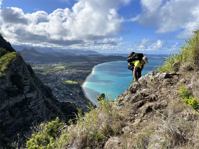
Castle Trail
Contouring our way below the ridge line where we soon met up with the Wa’ahila Ridge Trail where Joy decided to hike down to make her daughter’s ballet recital.
Awaawaloa
Summit view from the massive peak between Manoa and Palolo Valleys.
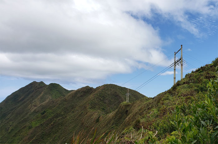
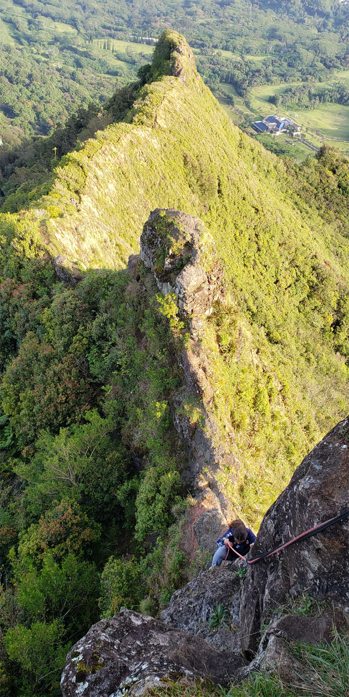
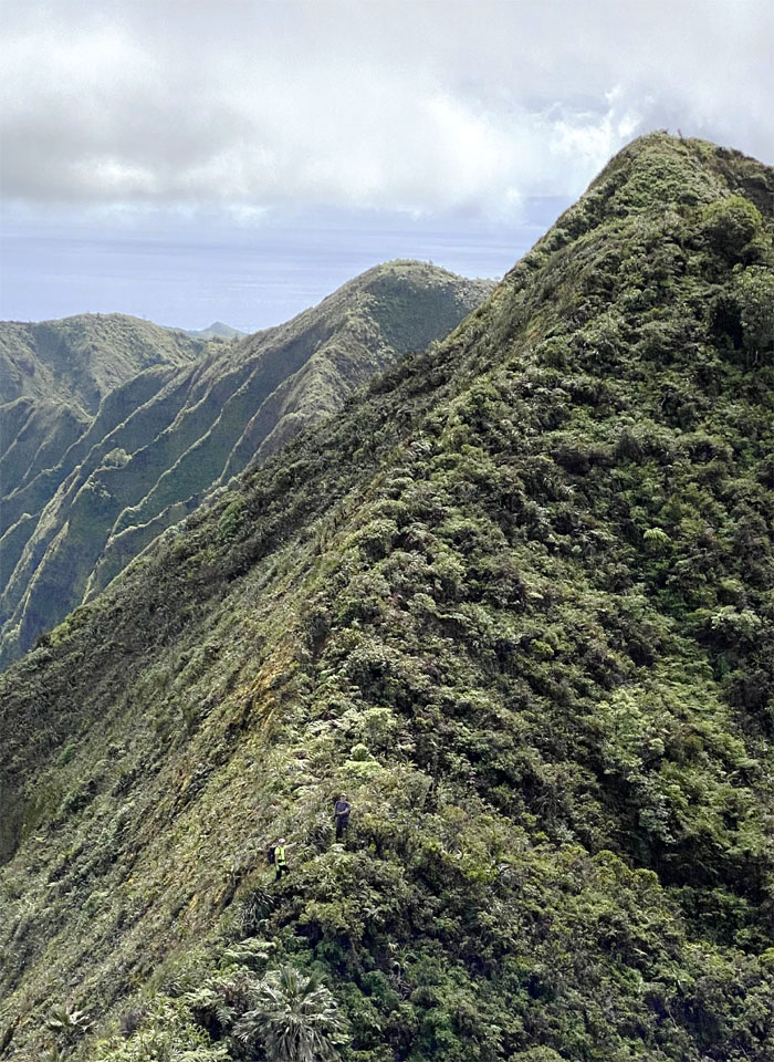
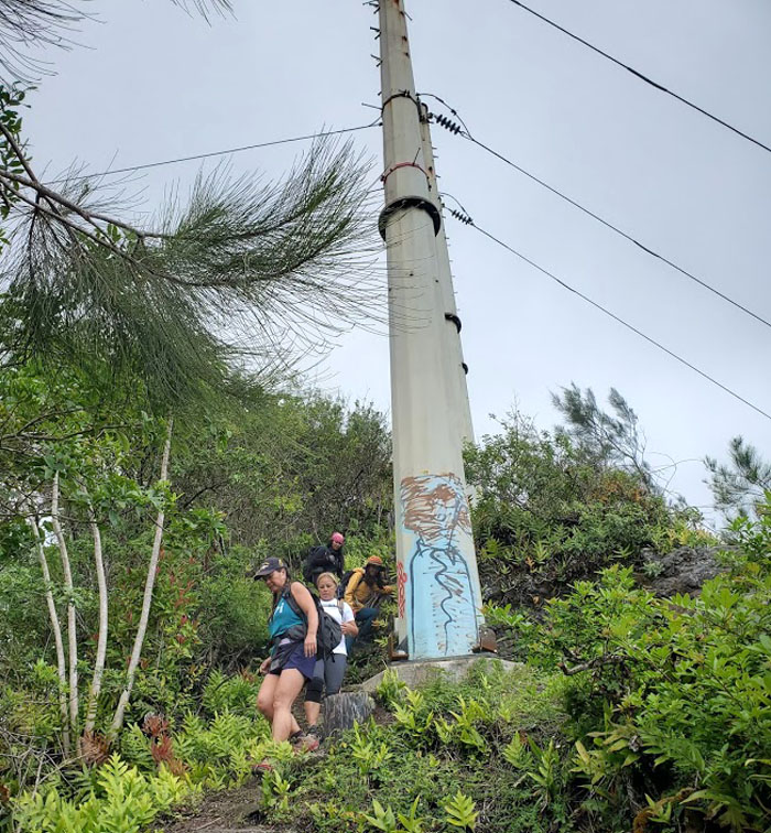
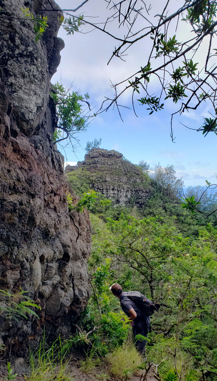
Ka’au Crater
Climbed down from the 2,486′ peak and soon approached the power lines that mark one of three tuff cones on the island.
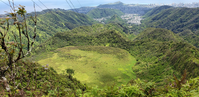
Ka’au Crater
Looking down into the marsh filled crater. I was also asked if I was a crane repair man sent up here to fix something. Perhaps it had something to do with my work shirt, but still somewhat perplexed as to how a crane would find itself on top of these mountains.
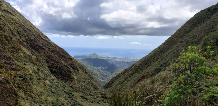
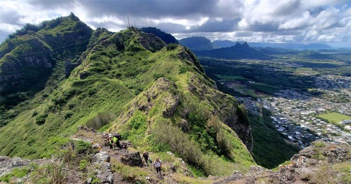
KSRT
Looking into Palolo Valley and the other tuff cone which also happens to be the hardest hike on the island.
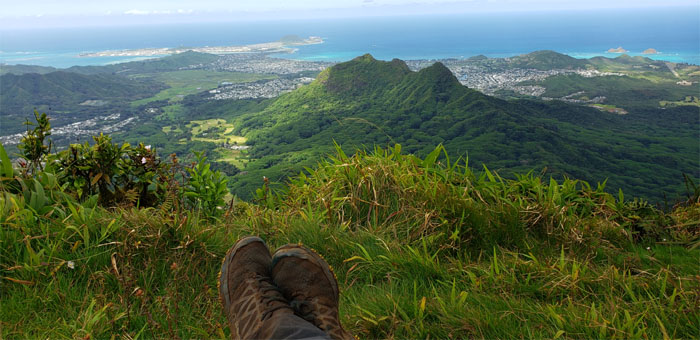
Kainawa’aunui
Taking a load off my feet on the 2,520′ summit after the short and stiff climb up the huge hill.
Pu’u Lanipo
My dream of hiking Lanipo Windward is slowly becoming a pipe dream.
KSRT
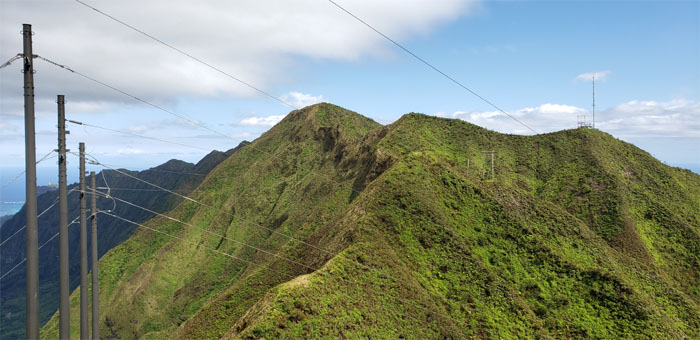
Descending down the ridge marked with power line towers and approaching the cell tower that marks Wiliwilinui ridge.
Wiliwilinui Summit
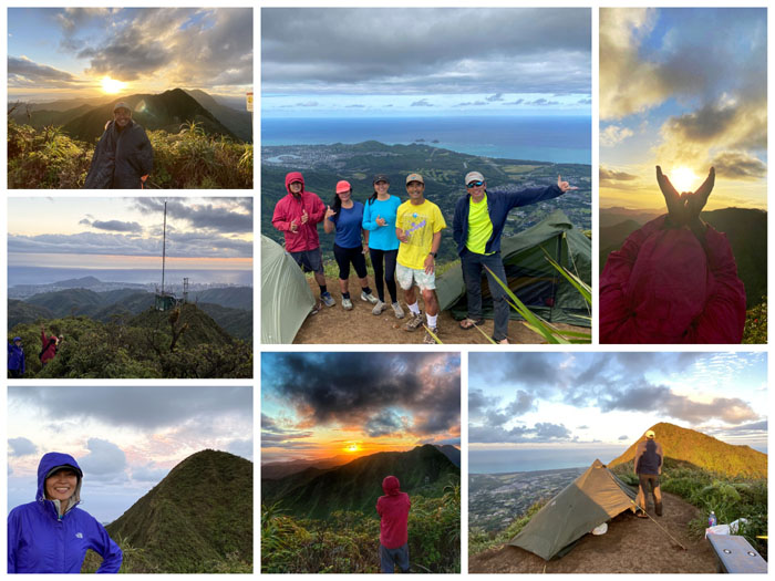
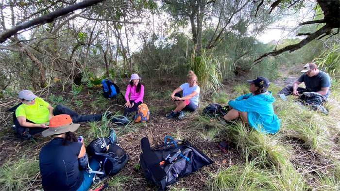
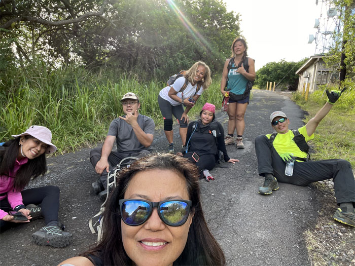
Many thanks to Chris, Dale and Sally that brought us chicken and water and stayed to share the sunset with us.
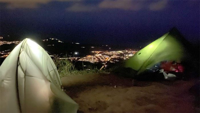
Camp Wili
We enjoyed a cold, clear and crisp night at the summit camp. Photo by Tessa Bugay.
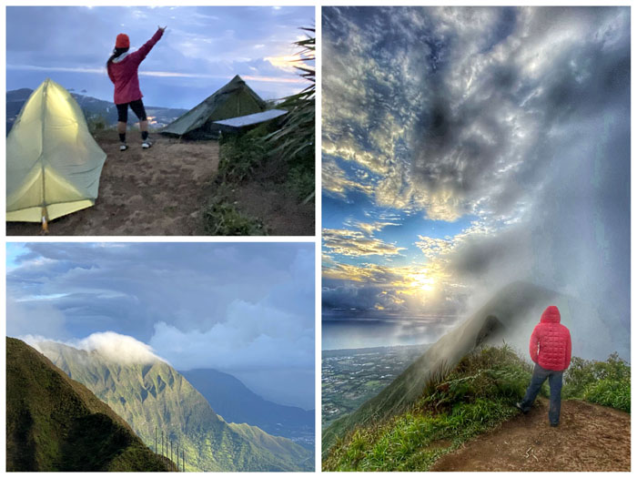
Camp Wili
The morning cloud formations filtered and painted the skies and scenery. It was quite the show.
Wiliwilinui Summit
Art hiked up to join us at the top, carrying a couple of sodas and two legged and four legged hikers in tow.
KSRT
Leaving the 2,520′ summit behind us as we started another day of hiking in the mountains.
Wailupe Summit
What’s going on here? What happened to the prayer flags and the green sign?
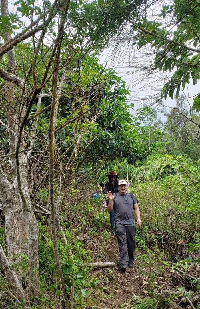
KSRT
It’s always hump day in the mountains.
KSRT
Slightly overcast conditions kept us from overheating in the mountains. Photo by Art Young.
Hawaii Loa Summit
Somebody sounded faintly familiar at the 2,520′ knob.
KSRT
Hiking up the next hill to look for that flapping chicken. Photo by Tessa Bugay.
Kulepeamoa Summit
Never say never? Photo by Art Young.
KSRT
The hills have hills.
Kuli’ou’ou 2?
Isn’t this Pu’u O Kona? I have the same book as well you know. Photo by Tessa Bugay.
KSRT
The debate was still not settled and with a lunch riding on the outcome, we left the questionable summit. Photo by Tessa Bugay.
KSRT
Art warned us to be careful on this eroded section and promptly reinforced it by falling down. Thanks Art!
KSRT
Tessa showing us how to safely cross the trail. Somebody needs to take notes.
KSRT
Scenic view of Waimanalo and points beyond. Photo by Tessa Bugay.
KSRT
Just missing the tent. Photo by Art Young.
KSRT
Art making his way to the sounding knee. Maybe creaking knees. Photo by Tessa Bugay.
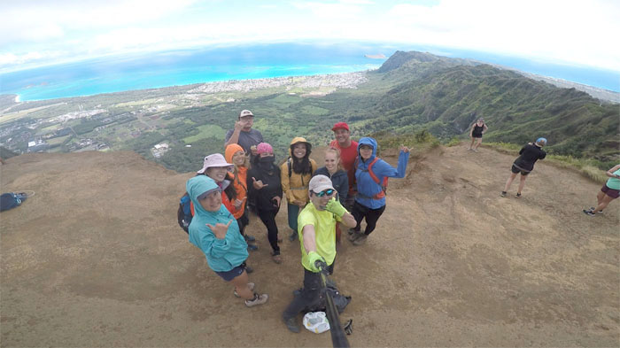
Kuli’ou’ou Summit
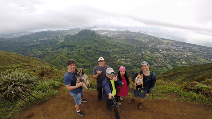
Met up with Aida, Bill, Narissa, Quan, Shirley and Tanya at the 2,028′ eroded hill.
KSRT
It was time to take our leave of the windy and overpopulated summit. Photo by Lilyn Avendano.
KSRT
Aida on the exposed ridge before being swallowed up by the forest. Photo by Art Young.
KSRT
Hey, let’s leave an arrow made of sticks so the rest of the group goes down the right junction. One problem with that, they will have to notice it.
KSRT
Are we on the right trail? Photo by Tessa Bugay.
KSRT
The group making their way down the set of powerline towers that straddle the ridgeline. Photo by Aida Gordon.
KSRT
Did you see the arrow? What arrow?
Scenic point
Where did the other three go? Photo by Lilyn Avendano.
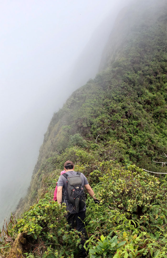
KSRT
Contouring on the Windward side of the ridge that was thickly covered with pine needles and cones. Photo by Tessa Bugay.
Hahaione Pyramid
Looking ahead to the roughly triangular shaped rock that predates the more famous ones located over 9,000 miles away.
KSRT
Some of us took the high road and others took the low road. Photo by Lilyn Avendano.
KSRT
Taking in the Windward views on top of the small, flat topped hill. Photo by Lilyn Avendano.
KSRT
Tessa climbing up the short rockface. Photo by Lilyn Avendano.
Mariner’s Ridge Summit
Watching the rest of the group make their way up to the summit that Kamehameha Schools would like you to forget. Photo by Art Young
Kaluanui Summit
Lunch in the shade. Photo by Tessa Bugay.
KSRT
Back on the trail that alternated between stands of trees and exposed ridge. Photo by Lilyn Avendano.
KSRT
Everybody waiting their turn to go down the printer cable. Yes, printer cable. Photo by Lilyn Avendano.
KSRT
Contouring around the rock that nobody wanted to climb. Photo by Art Young.
Tom-Tom Summit
Passing the powerlines that marks the trail that drops down into Waimanalo. Photo by Lilyn Avendano.
KSRT
Scrambling our way up and over the rockfaces that dominated the trail. Photo by Lilyn Avendano.
KSRT
The sun was taking a beating on us. Photo by Aida Gordon.
KSRT
Headed up to the steep and shaded pine forest. Photo by Aida Gordon.
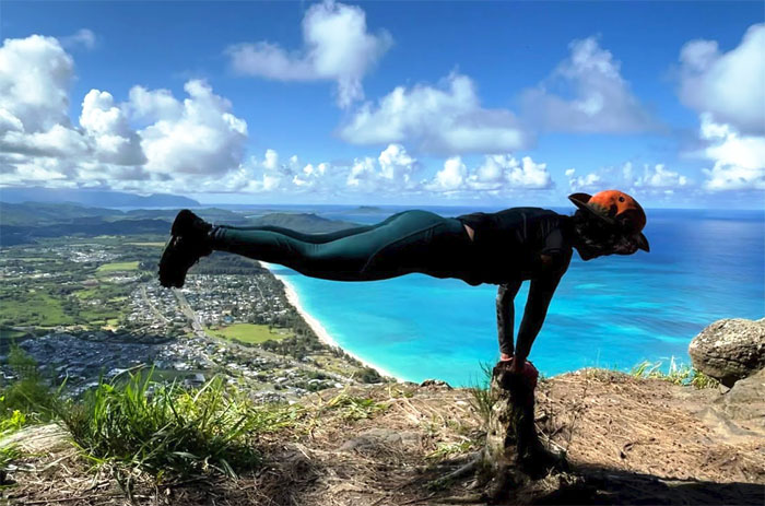
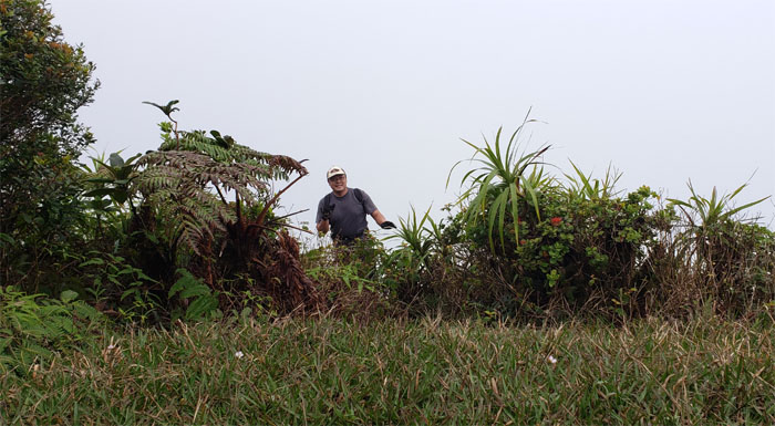
Kamiloiki Summit
Planking at the shaded spot overlooking the Waimanalo coastline.
KSRT
Breaking out onto the exposed trail before plunging back into another stand of pine trees.
KSRT
Leaving the brief shade before getting another does of Vitamin D. Photo by Art Young.
KSRT
Dropping down into the depression. Photo by Lilyn Avendano.
KSRT
Scrambling out of the saddle. Photo by Art Young.
KSRT
Taking a brief break on top of the small denuded hill before another small dip. Photo by Lilyn Avendano.
Kamehame Road
Physical dehydration, fatigue and inducements of free dinner convinced us to end the hike early. Early being relative. Photo by Lilyn Avendano.
Kamehame Road
I guess it was past closing time. Photo by Tessa Bugay.
All pau
End of the well trafficked road for us. Thanks to Chris for picking us up and feeding us with fast food.
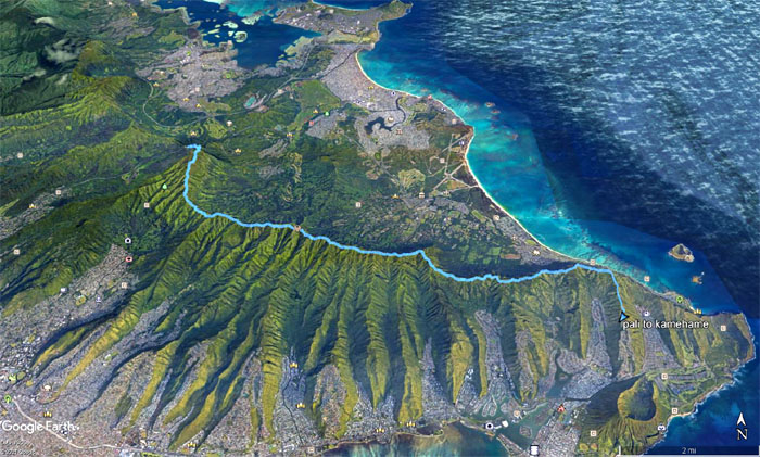
GPS Tracks
Our hike depending who you went with and what routes one took, covered a little over 12 miles. Post hike meal at Pho time. It took time for some of us to get our food. Guess it wasn’t pho time for everybody. Fun hike with new and old friends.
Note: I have been made aware that some hikers have been using my blog as a hiking guide and getting lost on the trails. Please note that this blog was made to document the hike for the crew(s) that did it. That is why some of my comments will seem to have no relevance or meaning to anybody outside of the crew(s) that hiked that trail. My blog was never meant as a hiking guide, so please do not treat it as such. If you find inspiration and entertainment from these hikes, that is more than enough. If you plan on replicating these hikes, do so in the knowledge that you should do your own research accordingly as trail conditions, access, legalities and so forth are constantly in flux. What was current today is most likely yesterdays news. Please be prepared to accept any risks and responsibilities on your own as you should know your own limitations, experience and abilities before you even set foot on a trail, as even the “simplest” or “easiest” of trails can present potential pitfalls for even the most “experienced” hikers.
{ 6 comments… read them below or add one }
Had a great time hiking with you. Felt very lucky to have met up! Lovely blog and hope to hike again with you soon Joy
Joy
Aloha Joy,
It was nice running into you that day. I’m sure we’ll hike together again.
Mahalo
That was certainly a creative write-up for a section you’ve done numerous times (12th to be exact!) LOL. Thanks for letting us join in this dry but hot section of the KST. Kudos to you, Art, and Tessa for even hiking from WIliwilinui…whew!
Aloha Aida,
Thanks for coming along. Good times.
Mahalo
Good thing we never continue on the hike. Was very exhausted & my pack was heavy. Was annoying carrying it. Wanted to throw it off the ridge LOL
Good Company we had! Lots of laugh along the way!
Aloha Tessa,
I guess when the choice is a free hot dinner or hiking in the dark, the choice is clear. Yup, good company and fun times.
Mahalo