
Forecasted thunderstorms changed our camping plans from the WST to the KST on the MLK weekend. So many acronyms, not enough time.
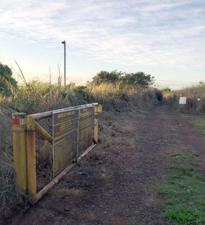
Poamoho Road
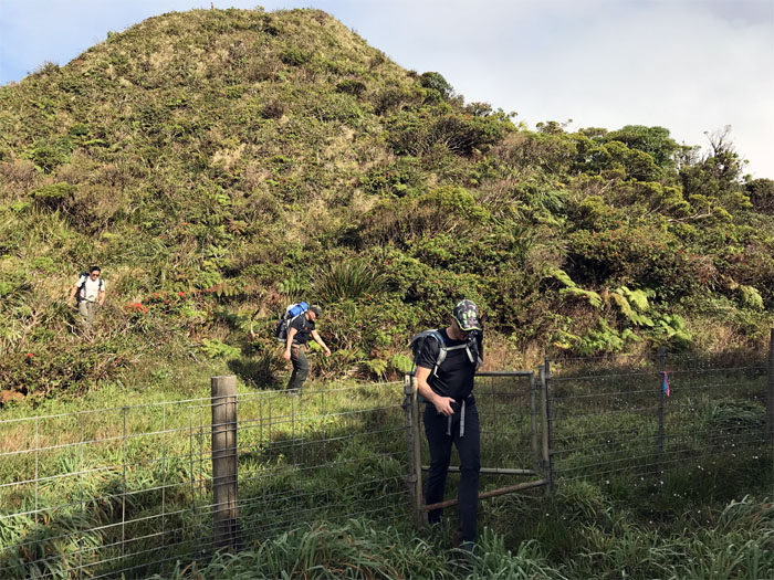
Permit in hand, we swung the gate open to kick off our weekend. Thanks to Ferlino and Jasmin for dropping Chris, Cisco, Stuart and myself off. Photo by Cisco Quintanilla.

Cow Whisperer
Stuart breaking up the bovine blockade until we heard loud snorting from the tree line. A safe seat in the jeep is worth a bull in the bushes.
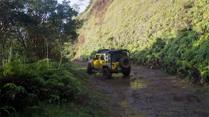
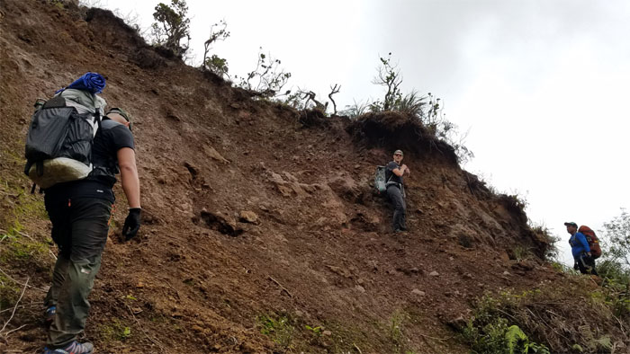
Muddy Road
Shout out to Brian for four wheeling our group up the road. Saved us five miles of walking and possible mad cow attack.
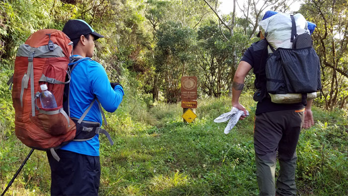
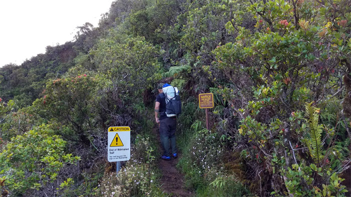
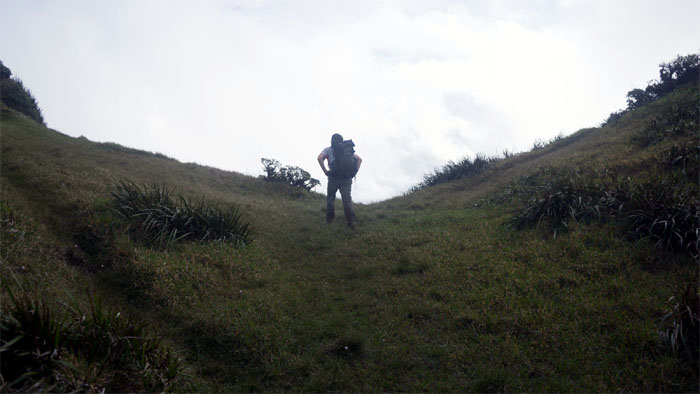
Trailhead
Setting foot on the mostly graded trail that takes you to one of the best scenic spots on the island.
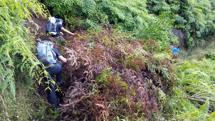
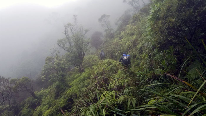
Poamoho Trail
Making our way over a landslide area that had blocked the trail with fallen trees.
Poamoho Trail
Blurring the distinction between maintained and unmaintained.
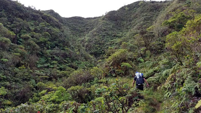
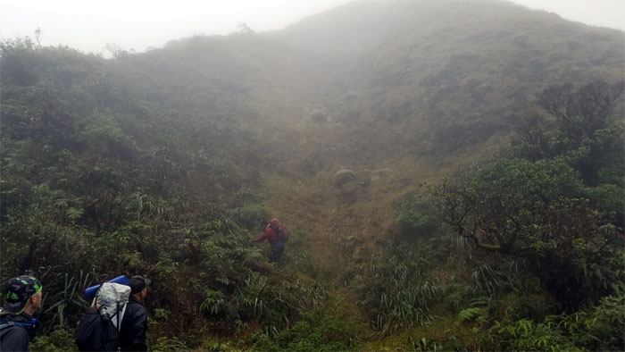
Poamoho Trail
Heading into the side gulch to cross the stream to the summit.
Poamoho Trail
Getting off the trail … Photo by Chris Bautista.
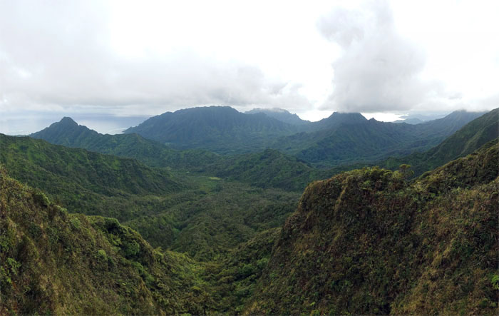
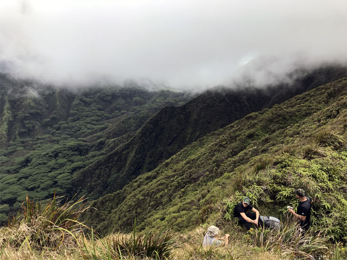
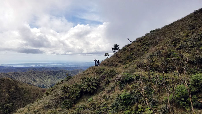
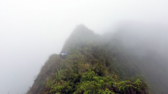
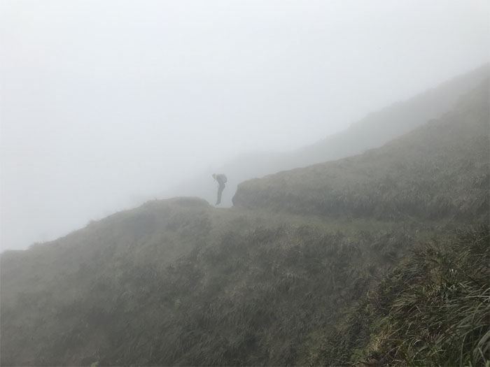
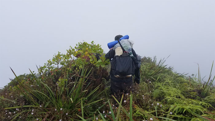
Poamoho Summit
… and heading to the place with a view or so we hoped. Photo by Stuart Krempin.
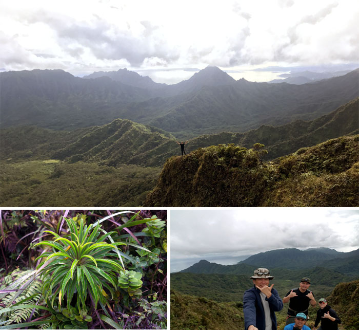
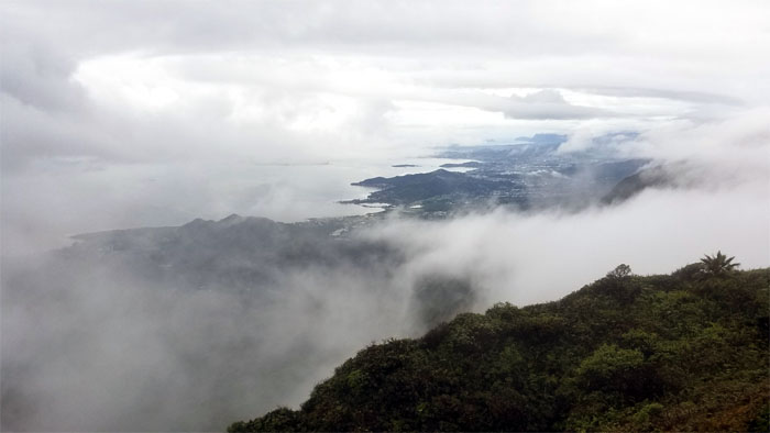
Poamoho Summit
The winds were surprisingly light at the summit and the views did not disappoint today.
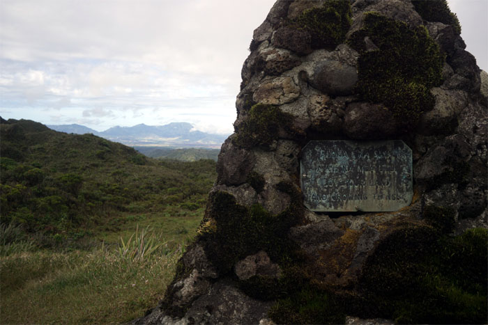
Cline Memorial
Passing the silent stone monument on our way to the cabin. Photo by Cisco Quintanilla.
Boardwalk
A short spell of dry walking.
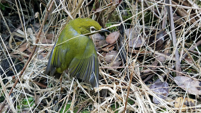
Invasive or Indigenous
The Japanese White Eye was having its feathers ruffled with a grass noose, until we released it back into the forest.
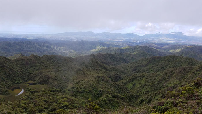
WST
Looking out towards the marsh and the Waianae Mountain Range.
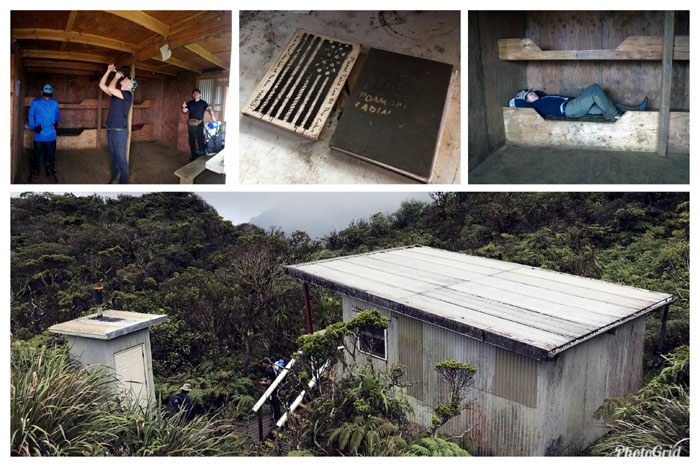
Poamoho Cabin
No camping at the cabin, just enough time to read some poems and sign our names in the log book.
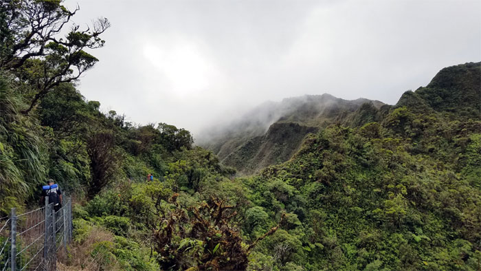
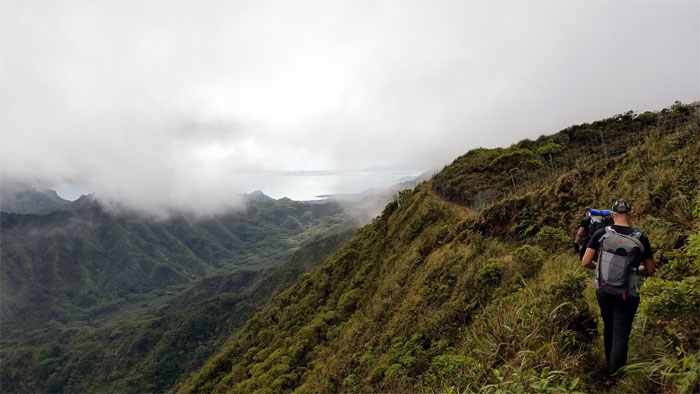
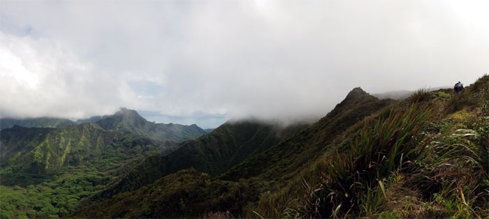
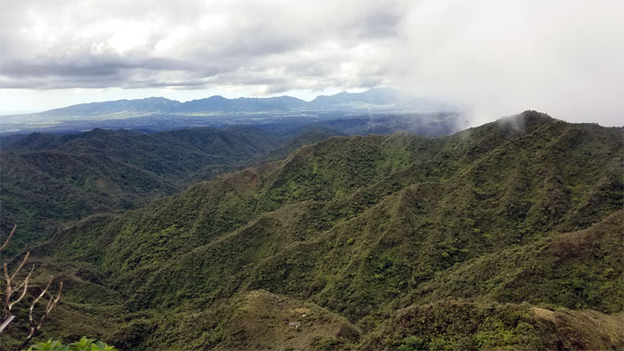
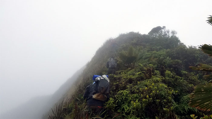
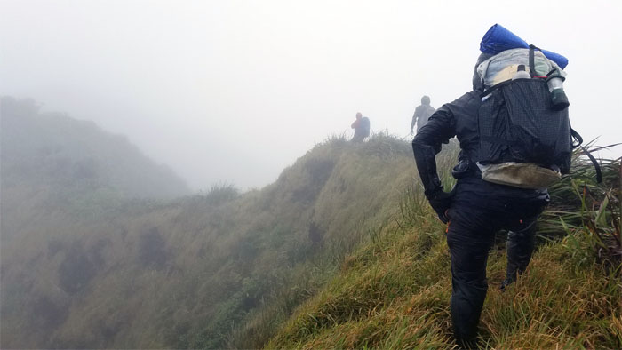
Ko’olau Summit Trail (KST)
Hugging the Leeward side that sheltered us from the Windward winds and views.
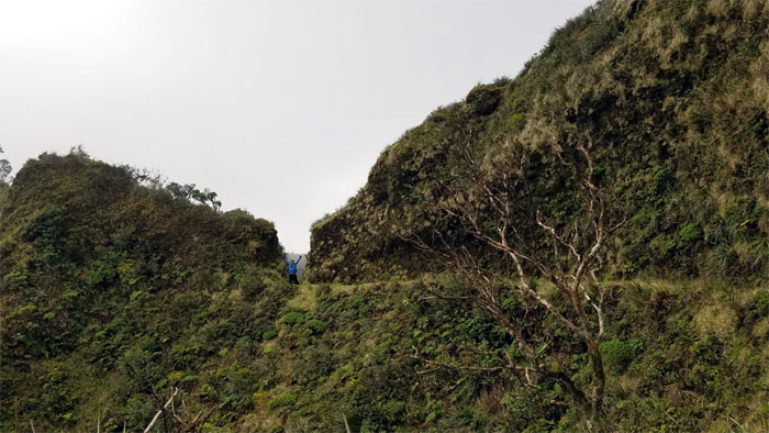
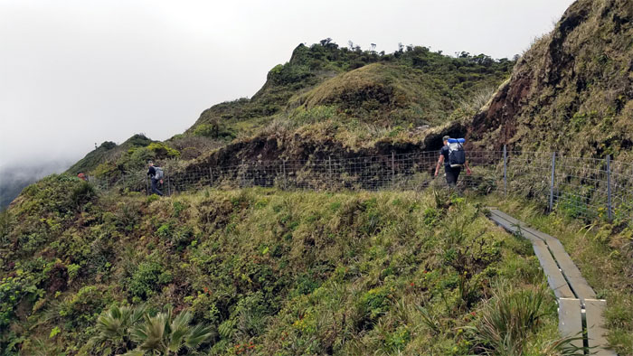
Notch
Chris standing in the pass that dynamite carved out of the mountain.
Pauao Junction
The somewhat steep ridge that drops down into Kahana Valley that used to be heavily overgrown, but thanks to HTMC and dedicated volunteers, remains reasonably passable.
KST
Low hanging clouds in the valley that were slowly migrating to the ridge lines.
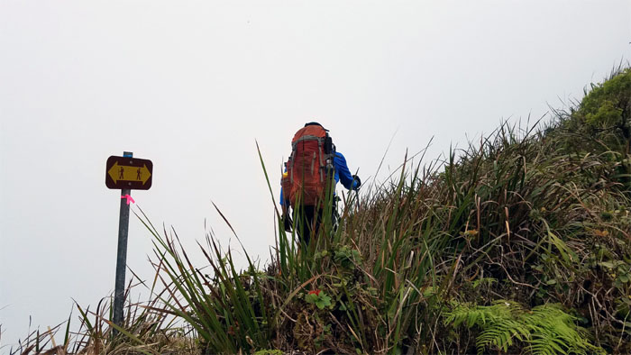
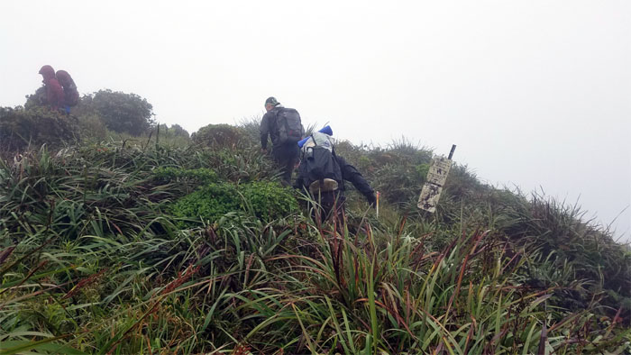
Hiking Sign
We must be on the right trail.
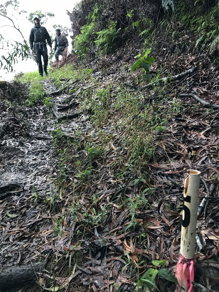
Schofield-Waikane Junction
Taking a break at the 2,360′ summit. Photo by Chris Bautista.
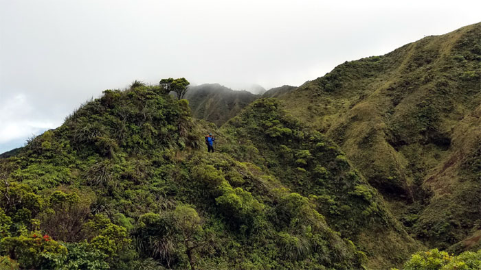
KST
Enjoying our views of the clouds suspended above the valleys.
KST
Chris on the Leeward side of the ridge line.
Waikane Junction
Gaining the higher trail to remain in the mountains, otherwise we would have descended down into the valley of unexploded ordnances.
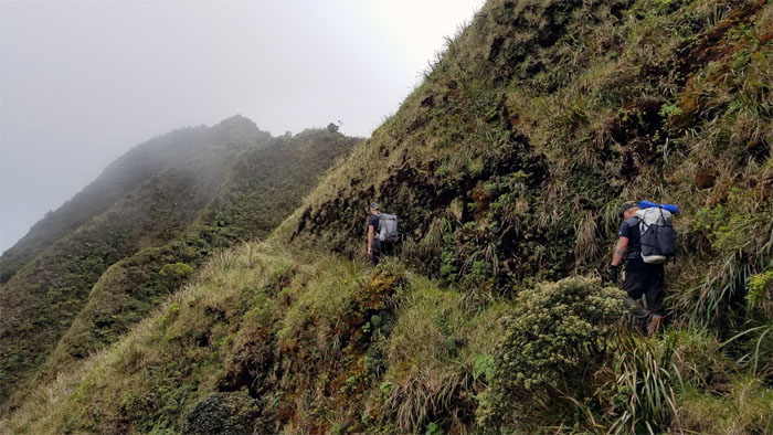
KST
The passage of time and hiker traffic had carved footholds into the landslide that had wiped out a section of the trail earlier last year.
KST
Enjoying the Windward views on the trail.
KST
Our eyes followed a ridge down to where a cabin or manmade structure was perched on the Leeward side. Just looking.
KST
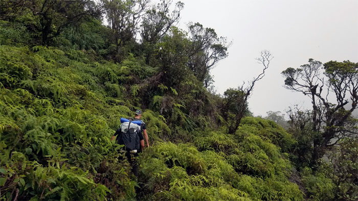
We continued on the Leeward side through the thick overgrowth of knee high uluhe ferns.
KST
Back on the now cloudy ridge line.
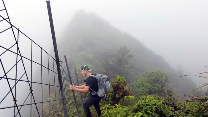
KST
Stuart braking his descent down the fenced ridge line.
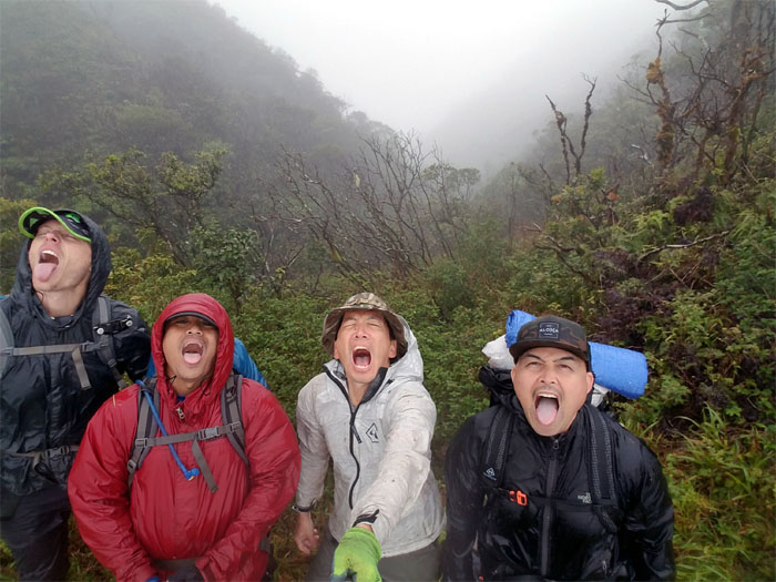
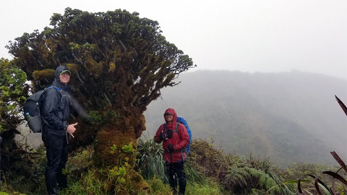
Tree of Life
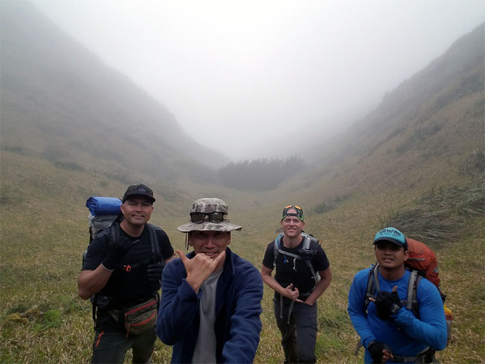
Group photo with the horizontal sugi pine tree in the background, left to right: Cisco, myself, Stuart and Chris.
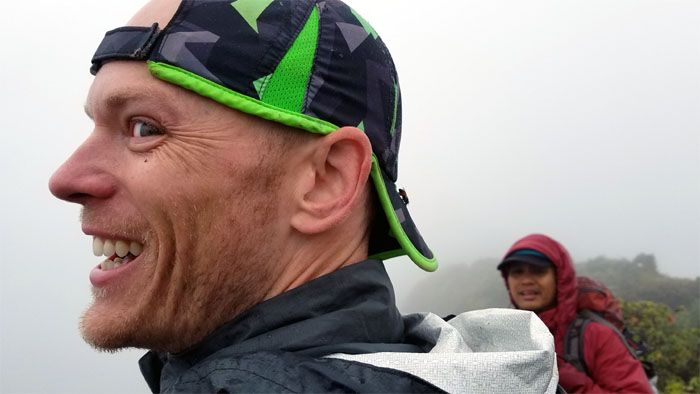
Selfie Junction
You’re supposed to take a picture of yourself.
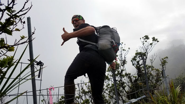
Notch
Jumping or levitating? Photo by Chris Bautista.
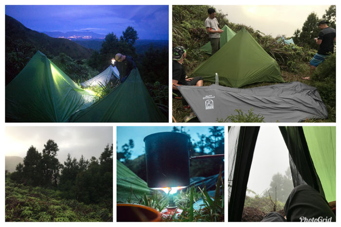
Camp Waiahole
Party of four amidst the lush sugi pine trees, never mind the coiled and rusted barbed wire.
Camp Waiahole
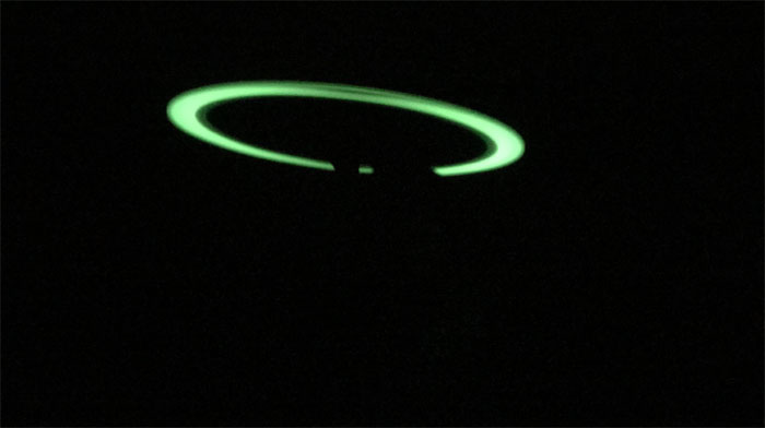
Chris giving us a preview of the electrical show that would soon light up the heavens and a booming orchestra in the sky to boot.
Camp Waiahole
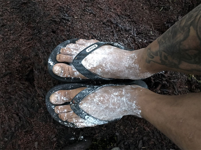
Nothing like waking up in the morning to powdered dry feet. Photo by Chris Bautista.
KST
Leaving our sheltered camp ground, we heard the gushing stream below us, fed from last night’s heavy rainfall.
KST
We saw the clouds breaking up on our climb up, giving us false hope that the worse of the thunderstorms had passed.
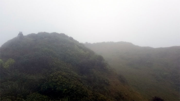
Kipapa Summit
Making our transition from the Ko’olau Summit Trail to the Ko’olau Summit Ridge Trail.
KSRT
To bee or not to bee?
Lapalapa Trees
Rumor has it that Hawaiians burned the green wood of these trees when they were stuck in the cold and wet mountains. Much like us?
Waiawa Gap
Making our way up and down the beast of a rollercoaster ridge.
Notch
When Mother Nature gives you rain, just open your mouth and say “thirsty!”
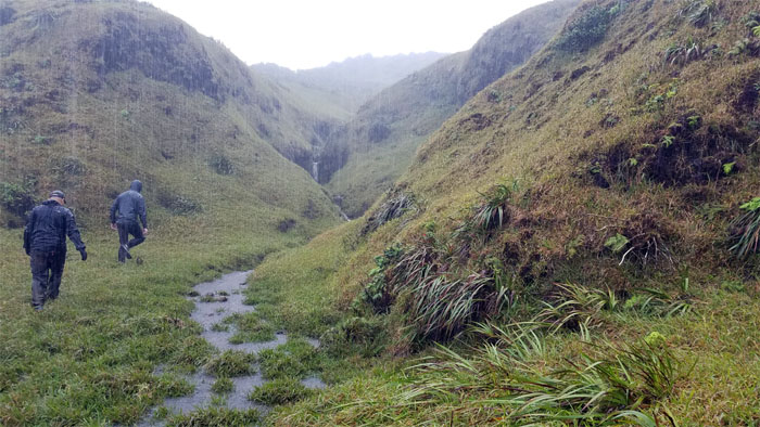
Waiawa Gap
Climbing our way out of the gap, we heard another gurgling steam somewhere off to our right.
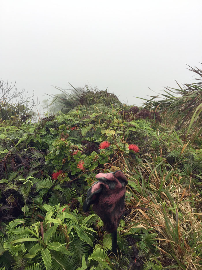
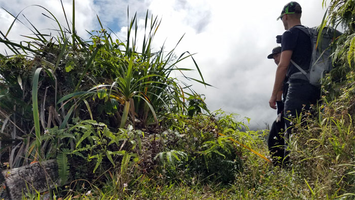
Glove Junction
Somebody must have plucked a lot of these red lehua flowers from the ohia trees.
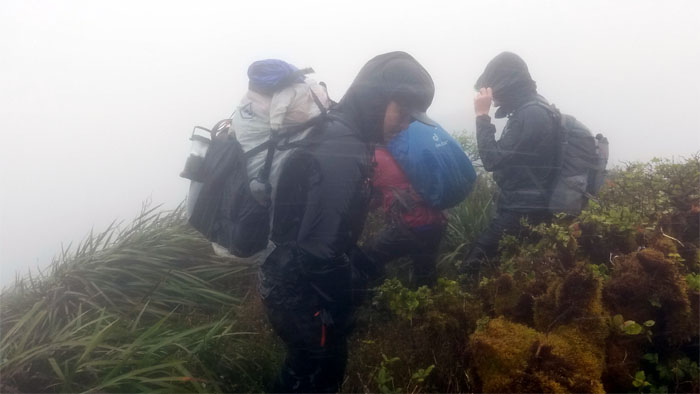
KSRT
Our phones were ringing off the hook with flash flood alerts. Day late and a dollar short. We were in the middle of the system.
Corner
We filled up our water bottles and …
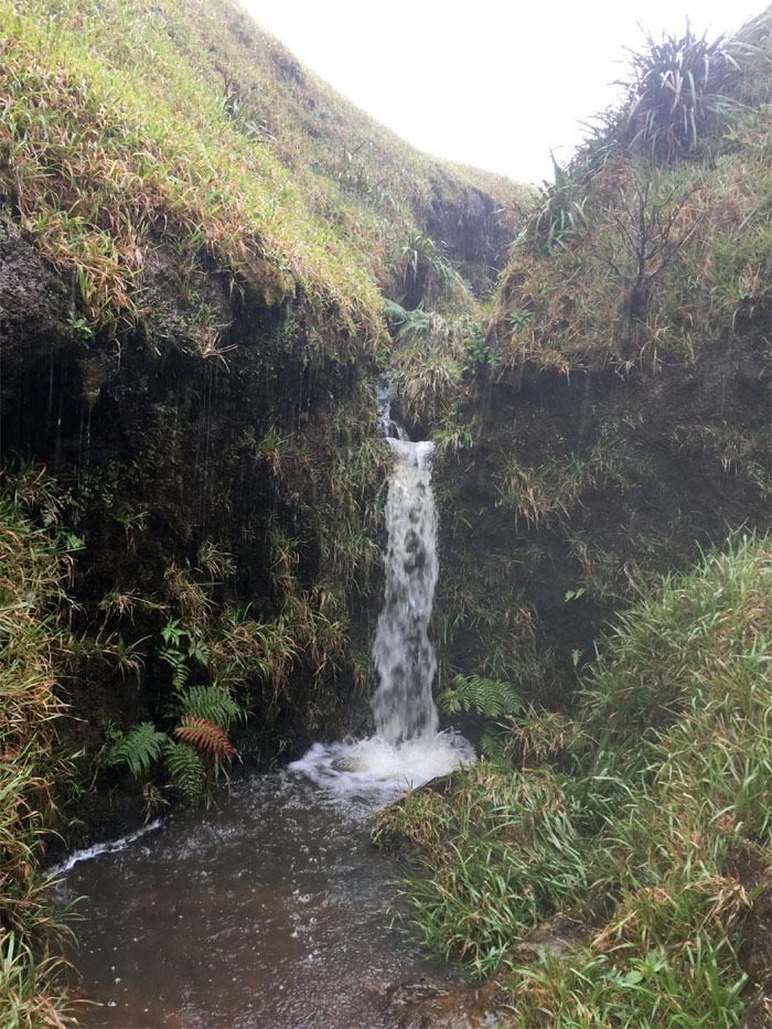
Corner
… visited a mini-waterfall. Photo by Cisco Quintanilla.
KST
The huggable tree on the mountain. No hugs today?
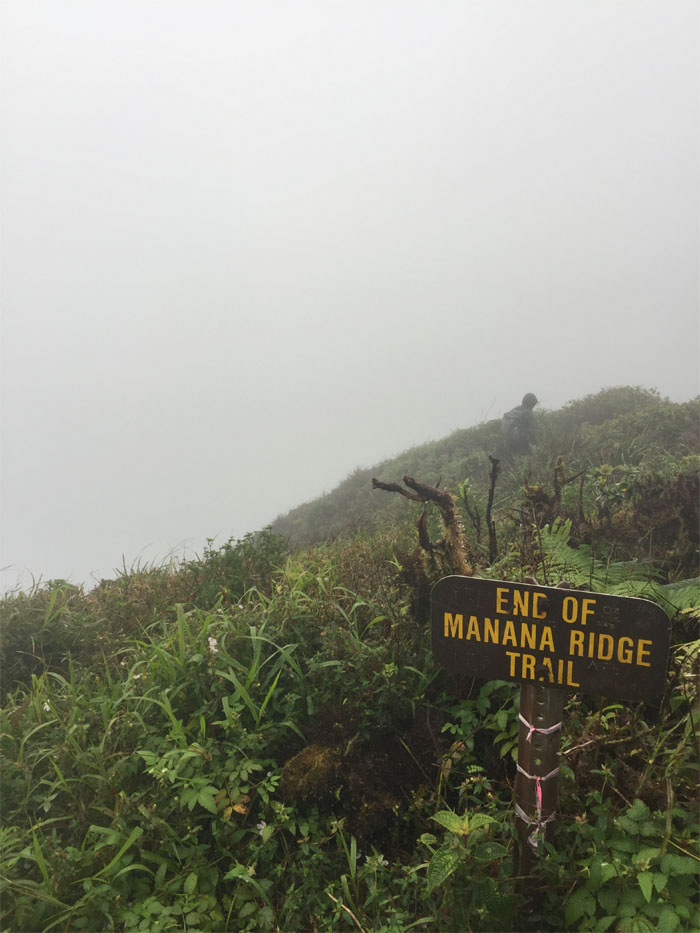
Manana Summit
We stopped briefly at the 2,660′ summit and hunkered below the highly porous trees to eat a bite before moving back on the ridge. Photo by Cisco Quintanilla.
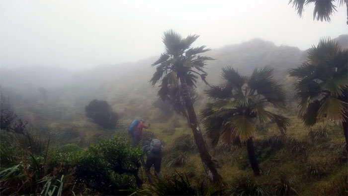
Eleao Meadows
Passing the bowl shaped grassy field.
KST
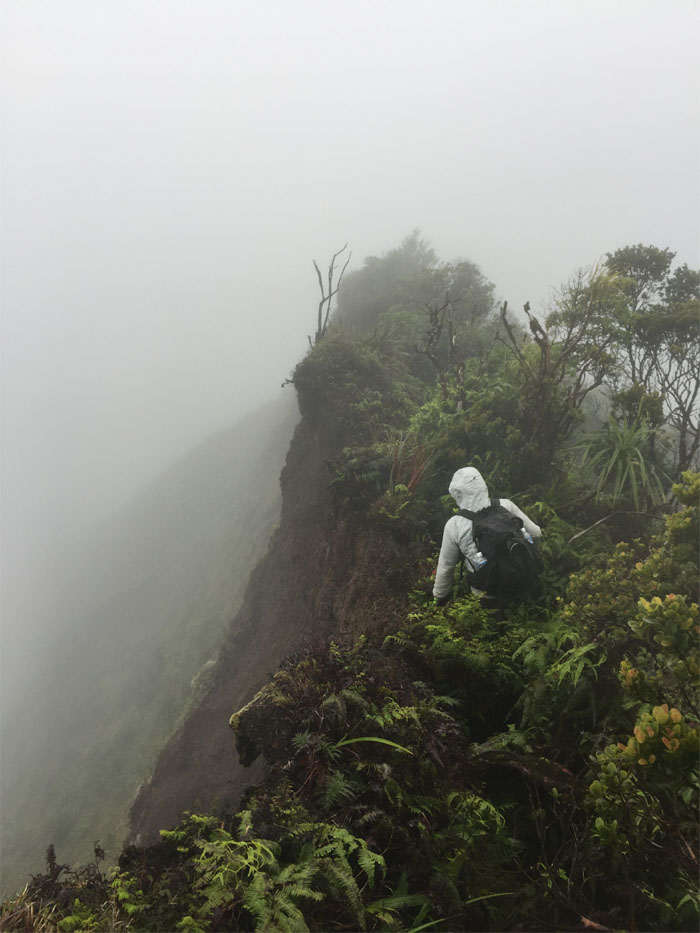
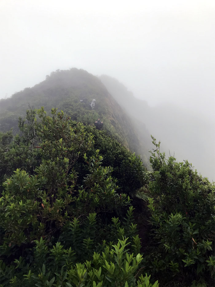
Horizontal rain was sheeting and stinging us on the ridge, complete with complimentary audio. Sensory overload in the mountains.
KST
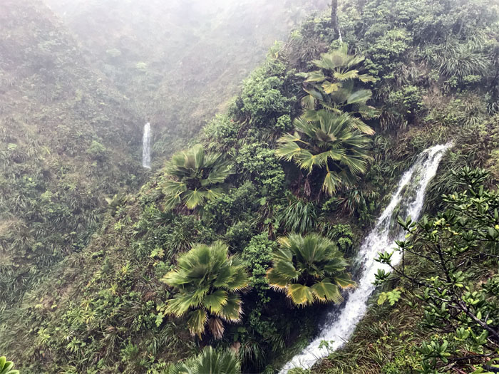
Twin waterfalls on the crossover. Only seen during heavy rainfall. Photo by Chris Bautista.
KST
Passing the eroded section. Photo by Cisco Quintanilla.
KST
Coming down the mountain. Photo by Chris Bautista.
Waimano Summit
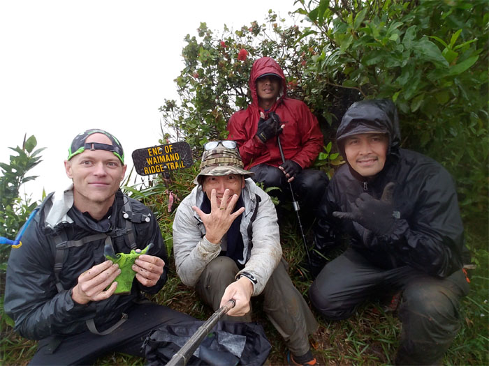
Our rainy crossover hike came to an end at the 2,160′ summit. We still had a rainy trail to hike down.
Waimano Trail
Going down the seven mile graded trail.
Waimano Trail
What? Only mile 5? The miles were not melting away fast enough on the trail back down. Photo by Chris Bautista.
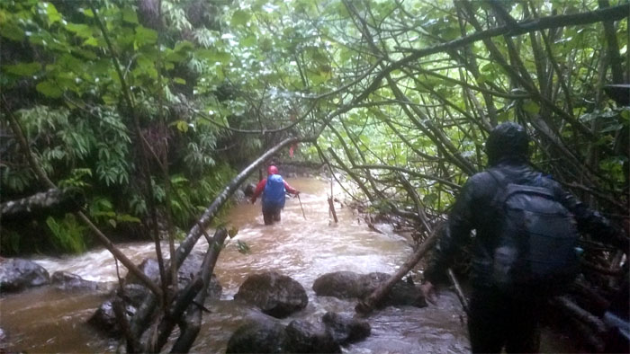
Waimano Stream
Fording the somewhat swollen stream, luckily it was not of flash flood proportions.
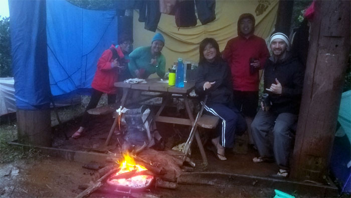
Picnic Shelter
We briefly stopped at the picnic shelter and found that a group had made itself home there, complete with a roaring fire. All that was missing were the marshmallows and horror stories.
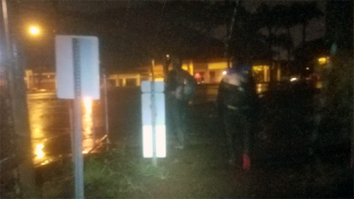
All pau
We left the trail and crossed the road to seek shelter from the rains that had turned from torrential to a constant drip. Our camping weather was split into Jekyll and Hyde, made bearably by good company. Mahalo to Ferlino and Jasmin for picking us up and bringing us hot cocoa on this stormy night. Post hike meal at Zippy’s. Hot soup does a body good.
Note: I have been made aware that some hikers have been using my blog as a hiking guide and getting lost on the trails. Please note that this blog was made to document the hike for the crew(s) that did it. That is why some of my comments will seem to have no relevance or meaning to anybody outside of the crew(s) that hiked that trail. My blog was never meant as a hiking guide, so please do not treat it as such. If you find inspiration and entertainment from these hikes, that is more than enough. If you plan on replicating these hikes, do so in the knowledge that you should do your own research accordingly as trail conditions, access, legalities and so forth are constantly in flux. What was current today is most likely yesterdays news. Please be prepared to accept any risks and responsibilities on your own as you should know your own limitations, experience and abilities before you even set foot on a trail, as even the “simplest” or “easiest” of trails can present potential pitfalls for even the most “experienced” hikers.
{ 0 comments… add one now }