We decided to boldly go where many a (wo)man has gone before today. Thanks to Troy for the beta on this West side hike.
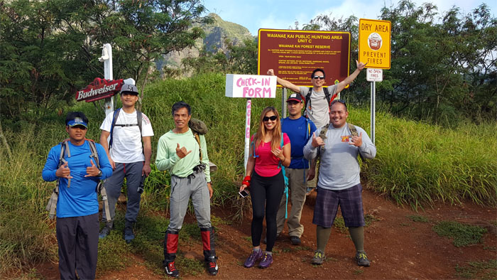
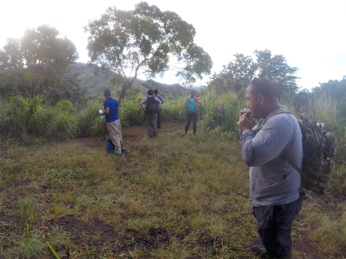
Mahalo to Jasmin and Tricia for dropping us off deep in the Waianae Valley to start our hike. Group photo by Tricia Adams, left to right: Chris, Daryl, Ferlino, Analyn, Lopaka, myself and Owen.
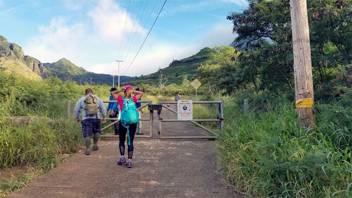
Fortunately we only had to spend scant minutes on this much hated road before …
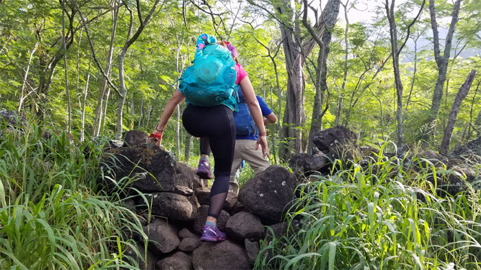
… plunging into the forest and hopping over a rock wall that runs through the woods.
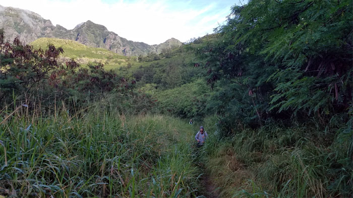
Where the buffalo grass roam.
To the old country or where no man has gone before? Photo by Daryl Cacatian.
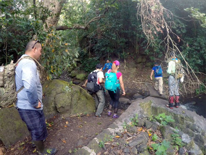
Jumping over one of many manmade structures sprawled throughout the valley. Photo by Daryl Cacatian.
Why follow the arrows when you can make your own arrows? Bad choices lead to unnecessary “exploring.”
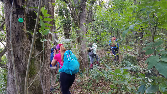
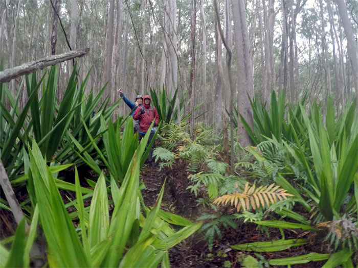
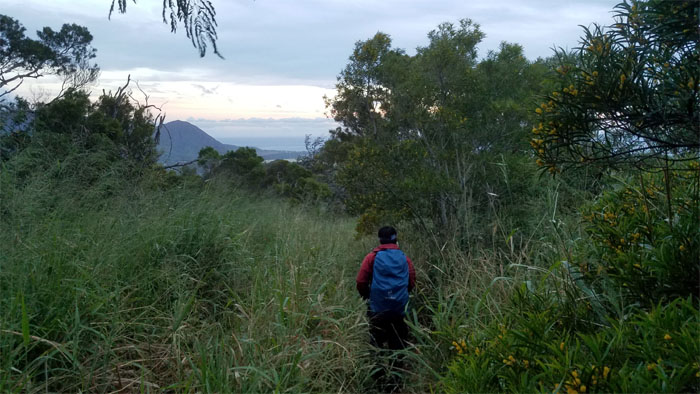
Following the color of nature as it switch backed us through the valley.
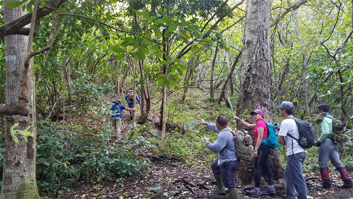
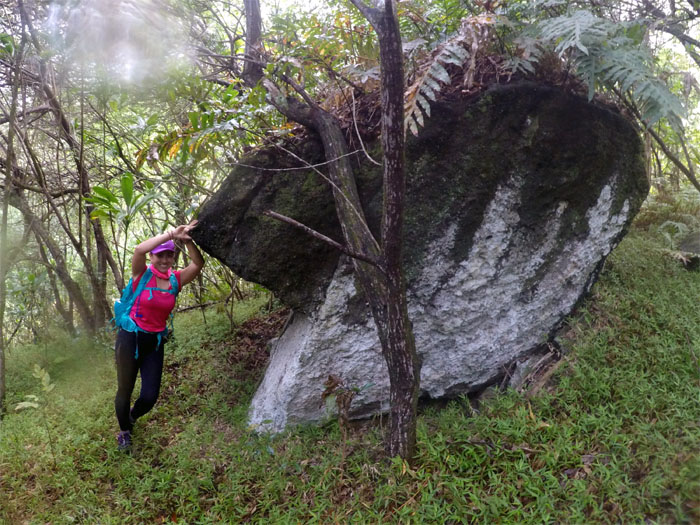
Analyn taking her photo with this rather large boulder sitting in isolated silence of the woods. Photo by Daryl Cacatian.
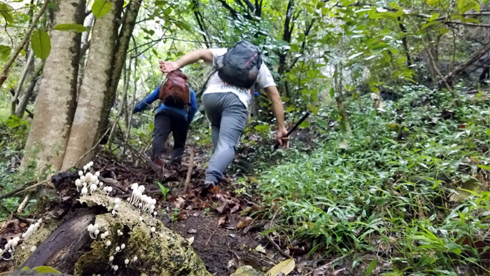
Passing a rotting log decorated with ghost capped mushrooms.
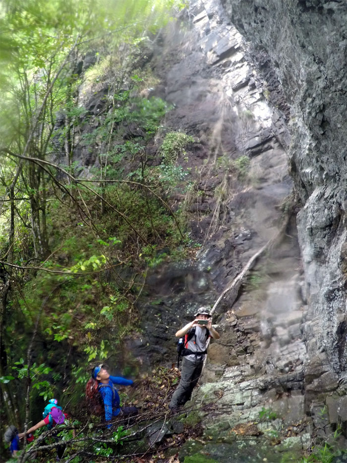
The rest of the group scrambling up towards the ridge.
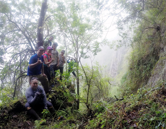
Our pic … Photo by Daryl Cacatian.
… for your pic.
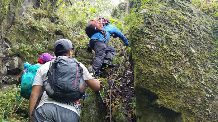
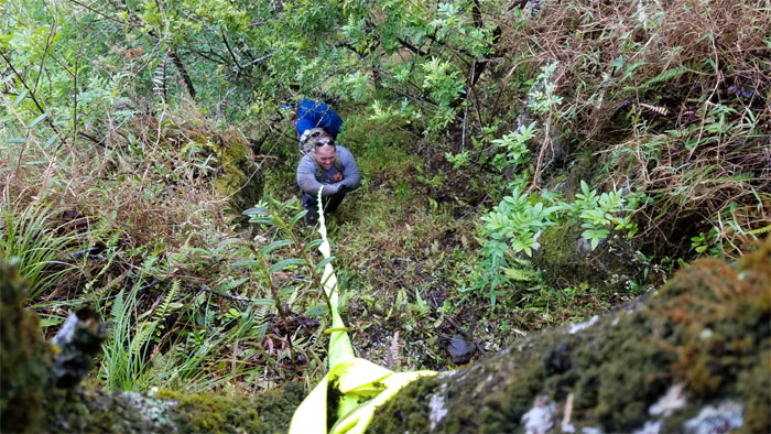
Climbing up the narrow corridor with the help of some weathered webbing.
Making our way up one at a time. Photo by Daryl Cacatian.
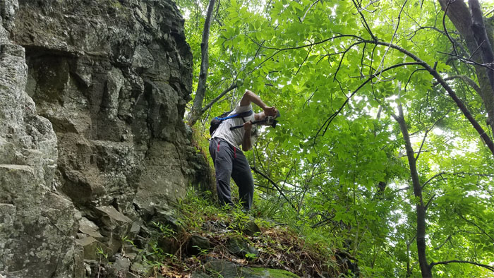
Group photo by Ferlino Carinio at the top of the picturesque cliff.
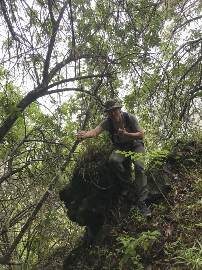
Who you calling an ape? Photo by Chris Bautista.
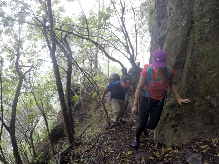
Making our way on the narrow shelf of a ledge. Photo by Daryl Cacatian.
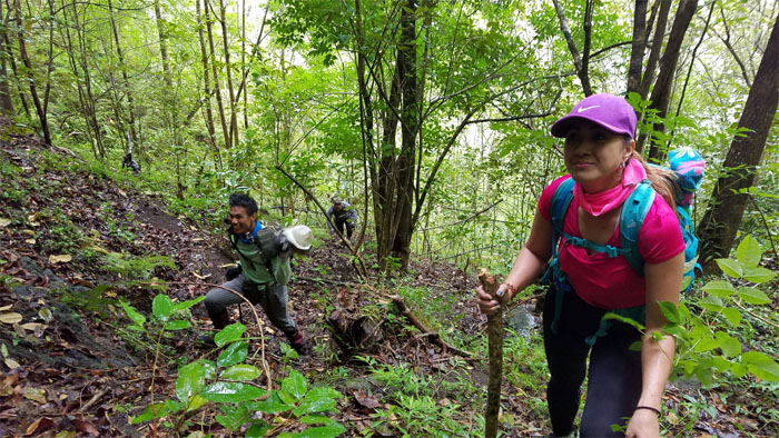
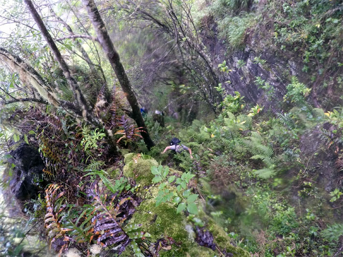
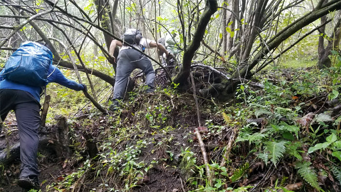
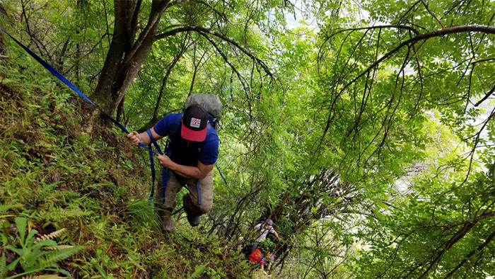
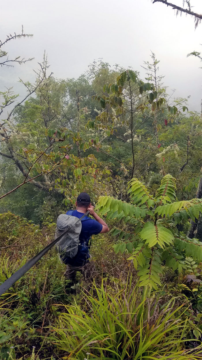
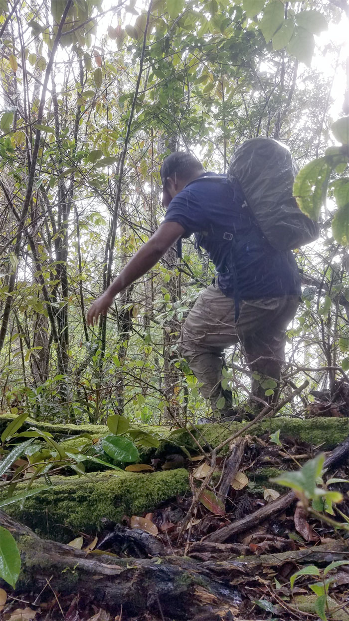
The grade got significantly steeper as we had to rely on the trees to pull ourselves up the ridge.
We may have lost the trail as the ridge became ridiculously steep and the dirt was soft and shifting underneath our scrambling feet.
Owen coming up Star Trek II: What the hell am I doing here?
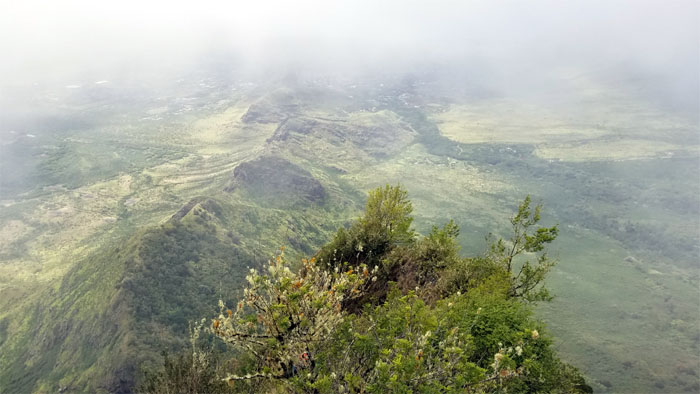
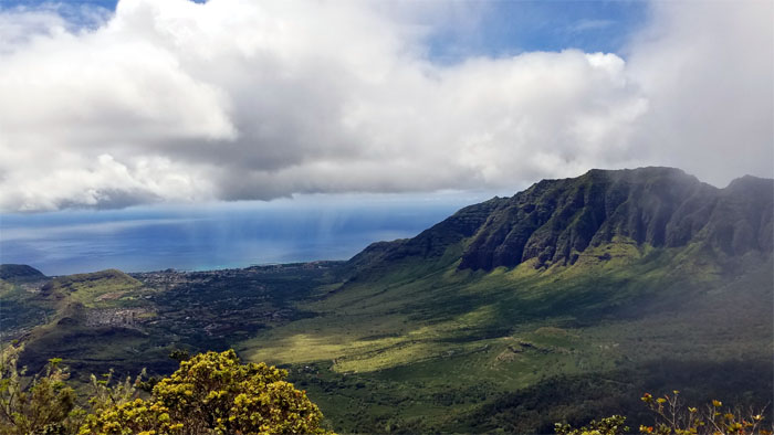
Topping out on the spur ridge with commanding views of the valley.
We can see the fence for the ridge!
Looking back at the spur ridge that we threaded our way up through the thick clumps of trees.
Group photo at the fence line.
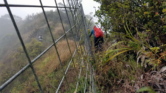
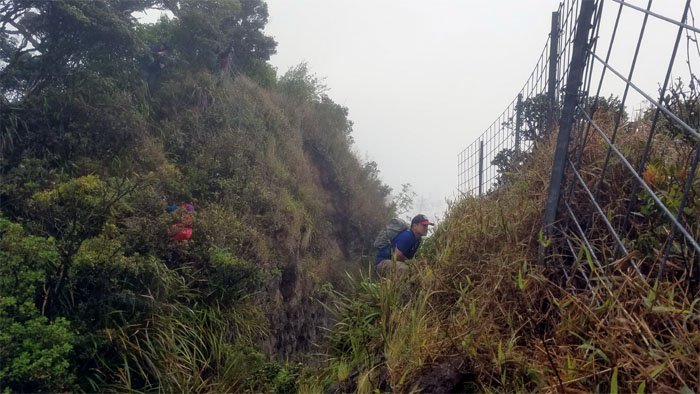
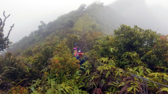
Following the fence, a common and necessary eyesore in the mountains.
Watching the rain showers off shore as it slowly migrated towards our way.
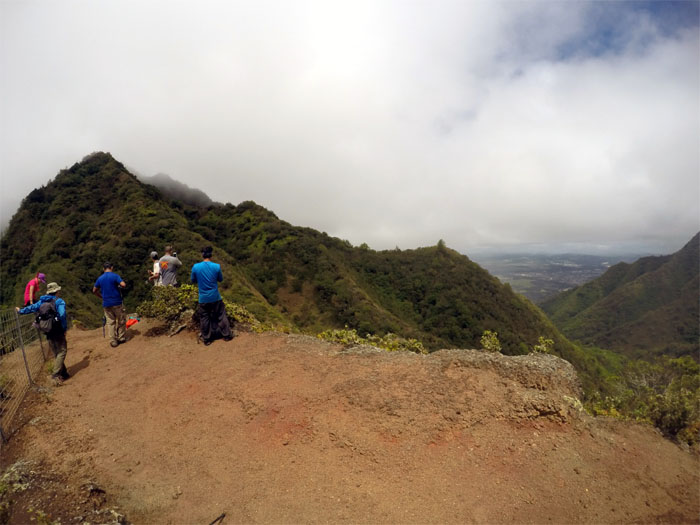
Enjoying the dry spell on the eroded section of the ridge. Photo by Ferlino Carinio.
Hiking in the rain towards the second highest summit on the island.
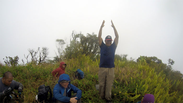
The sun dance, devoid of any personal sacrifices, failed to produce the desired outcome. Photo by Ferlino Carinio.
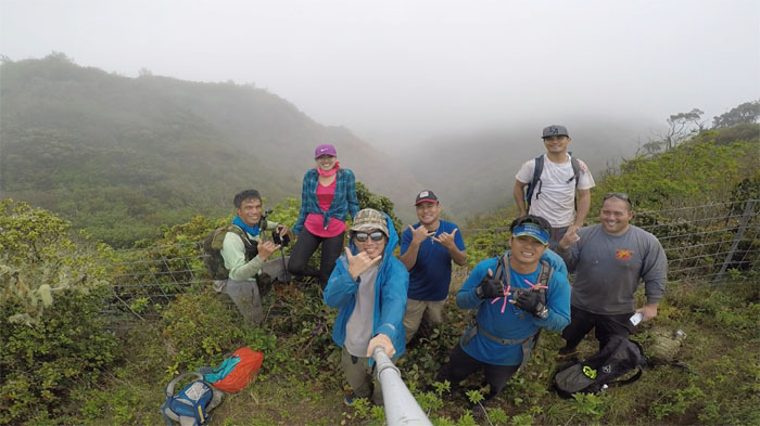
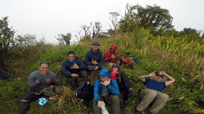
Might as well sit down, as misery loves company and take our group photo at the 3,504′ summit.
Waiting in the freezing rain for the rest of the group to make their way down the ridge.
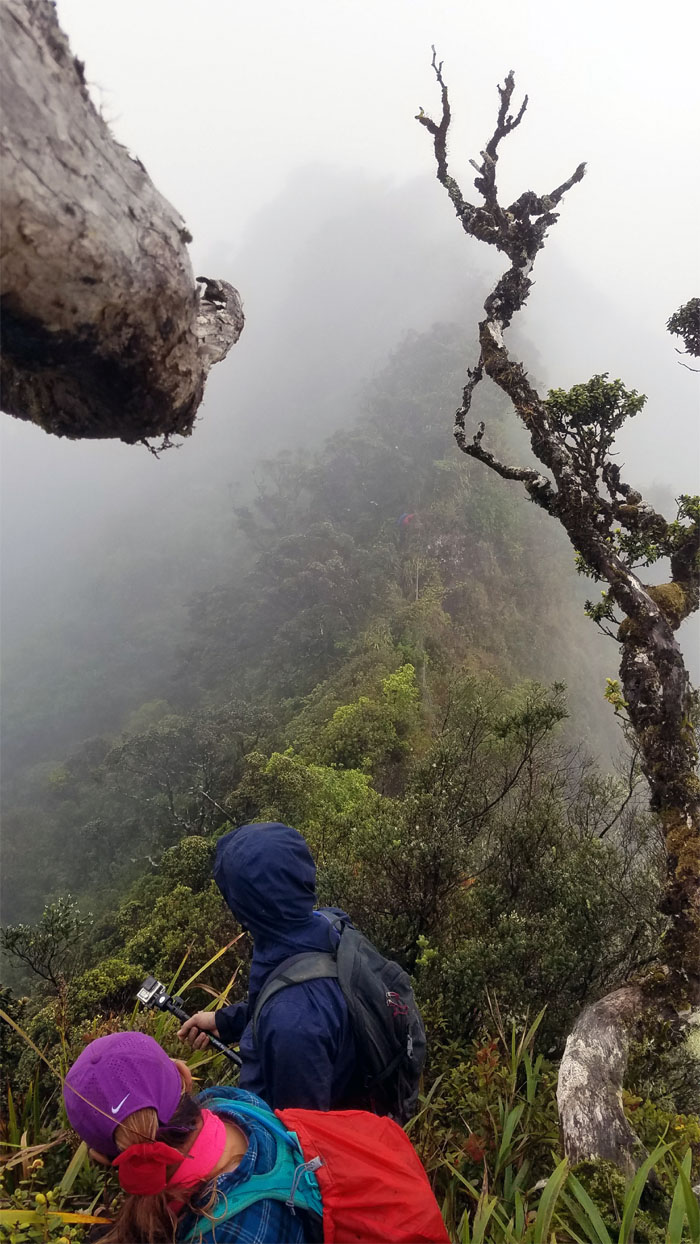
Lopaka traversing the notched ridge.
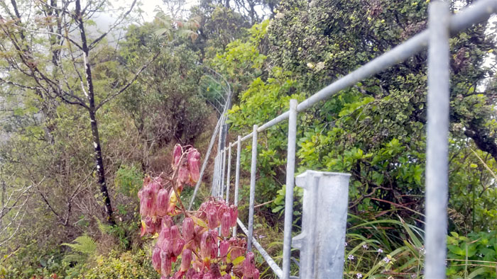
Splash of color on the other side of the fence.
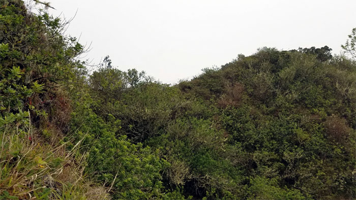
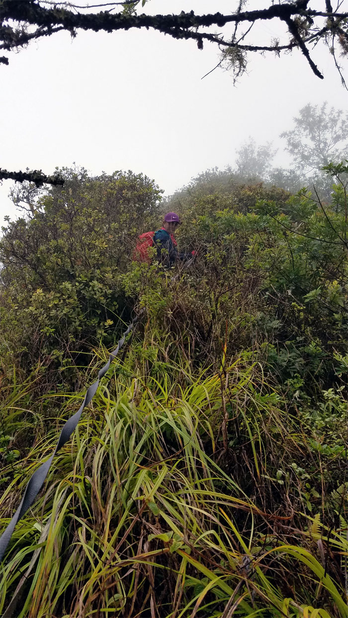
Fighting and pushing our way through the uluhell overgrowth, with trailing thorny thimbleberry plants thrown in for good measure.
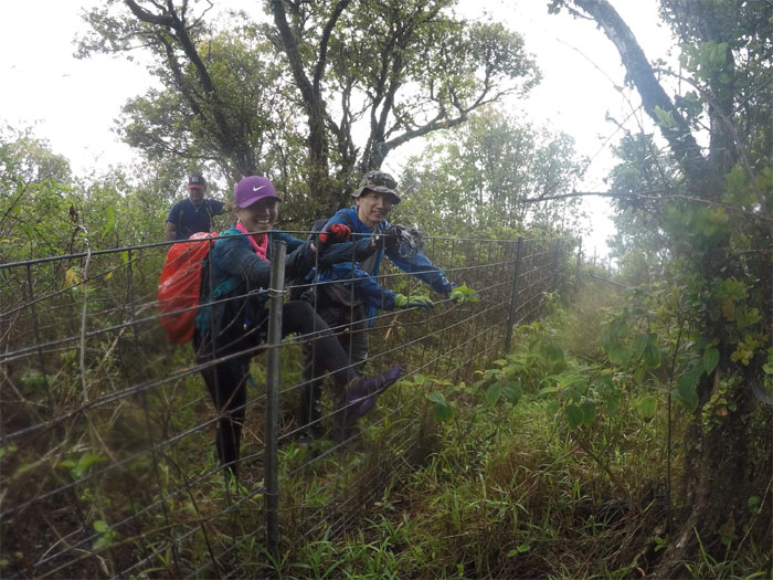
Leaving the exhausting overgrowth as we climbed over the fence to take our leave of the WST. Photo by Chris Bautista.
Analyn coming down from the 3,200′ junction.
Lopaka going down the initial steep descent of the ridge.
The ridge soon leveled off to a more “walkable” grade as the rain decided to stay with us for a little while longer.
Dwarfed and outnumbered by the huge and plentiful agave plants on the lower section of the ridge. Photo by Daryl Cacatian.
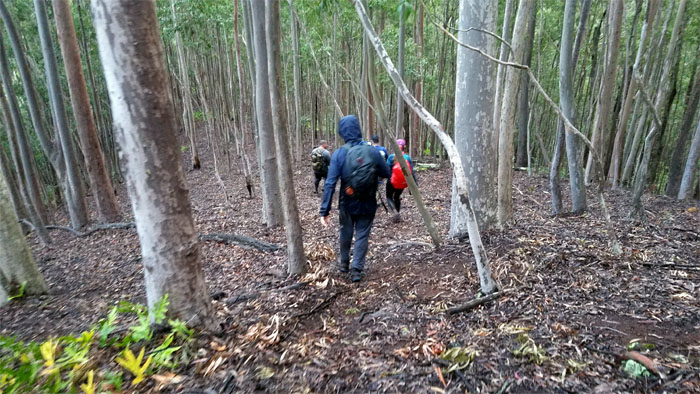
Walking down the easy part of the ridge.
We made our way back to the road just as darkness dropped over the valley where Jasmin and Tricia were waiting for us. Our hike through charted and possibly uncharted trails covered just shy of six miles. Great day with new and old friends on the West side. Post hike meal at Outback Steakhouse where the prime ribs are gone but the clam chowder cups are still full.
Note: I have been made aware that some hikers have been using my blog as a hiking guide and getting lost on the trails. Please note that this blog was made to document the hike for the crew(s) that did it. That is why some of my comments will seem to have no relevance or meaning to anybody outside of the crew(s) that hiked that trail. My blog was never meant as a hiking guide, so please do not treat it as such. If you find inspiration and entertainment from these hikes, that is more than enough. If you plan on replicating these hikes, do so in the knowledge that you should do your own research accordingly as trail conditions, access, legalities and so forth are constantly in flux. What was current today is most likely yesterdays news. Please be prepared to accept any risks and responsibilities on your own as you should know your own limitations, experience and abilities before you even set foot on a trail, as even the “simplest” or “easiest” of trails can present potential pitfalls for even the most “experienced” hikers.



{ 0 comments… add one now }