
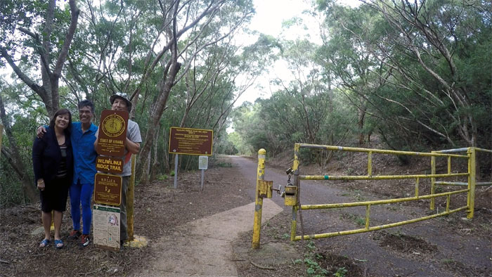
Lack of suitable traction found us hiking on the Southern end of the Ko’olau Mountain Range today.
Makapu’u
Thanks to Jasmin for dropping Ferlino and myself off at the lookout, where we made the dangerous dash across the road to start our hike.
Makai Pier
Passing the concrete pier built to support marine research and moonlights as a platform for public fishing and snorkeling.
Standing Stones
Coming down to the scattered boulders and getting in some climbing to make up for what we missed. Photo by Ferlino Carinio.
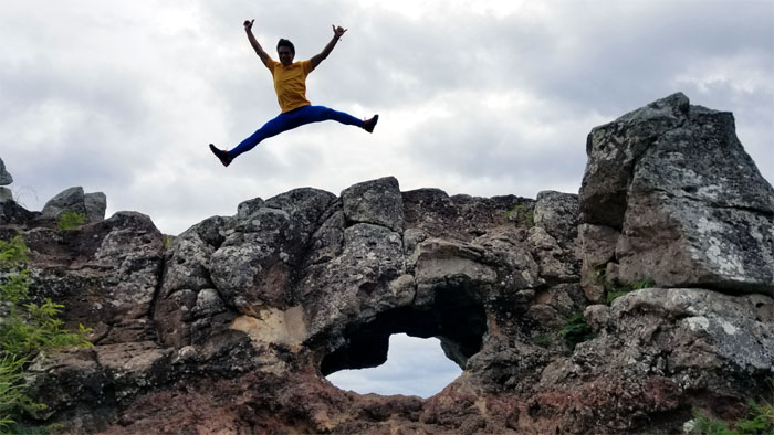
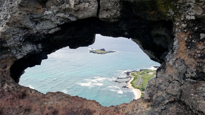
Makapu’u Puka
Ferlino trying to get some air time. Photo by Ferlino Carinio.
Launch Pad
A place to get some serious air time.
Not so Hidden Stairs
We left the ridge to pound the pavement. Photo by Ferlino Carinio.
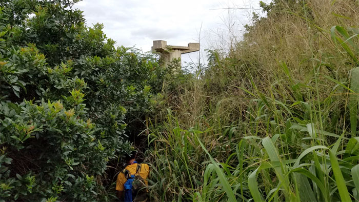
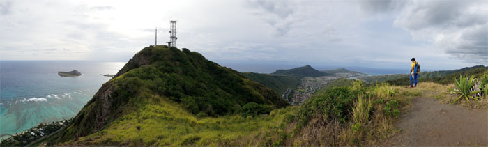
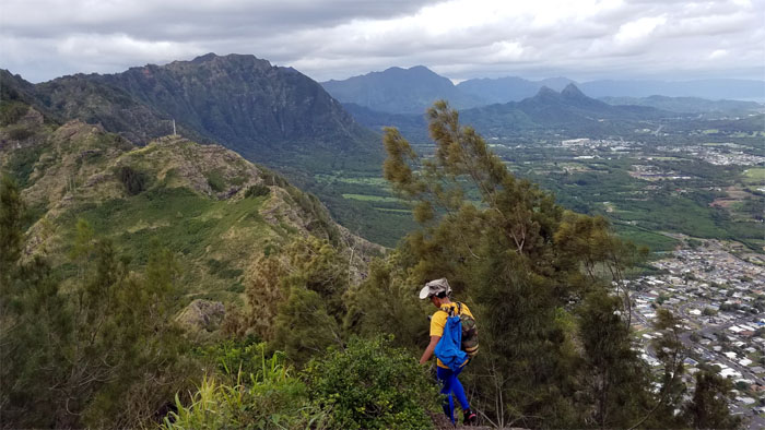
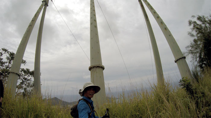
OA-32
Shouldering our way through the head high buffalo glass towards a standing reminder of the Cold War.
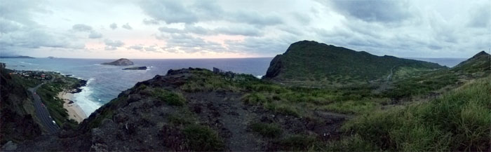
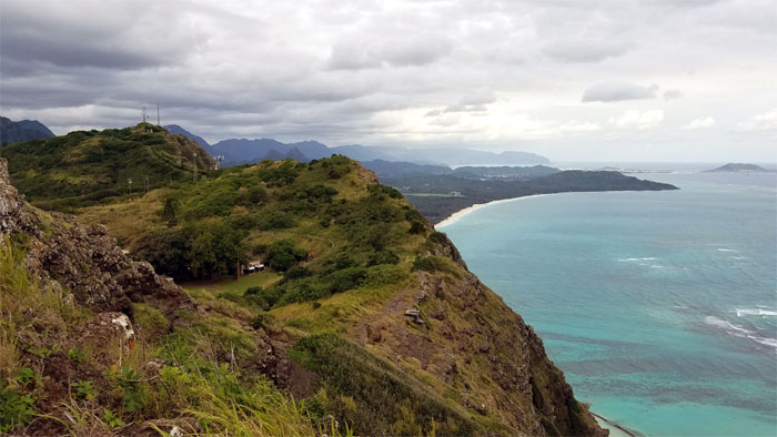
Manana Island
Enjoying the views of Manana (Rabbit) Island and Koko Crater.
Saddle
Ferlino dropping into the saddle to leave the exposed ridge line behind us.

Windbreak
Passing through a curtain of pine needles.
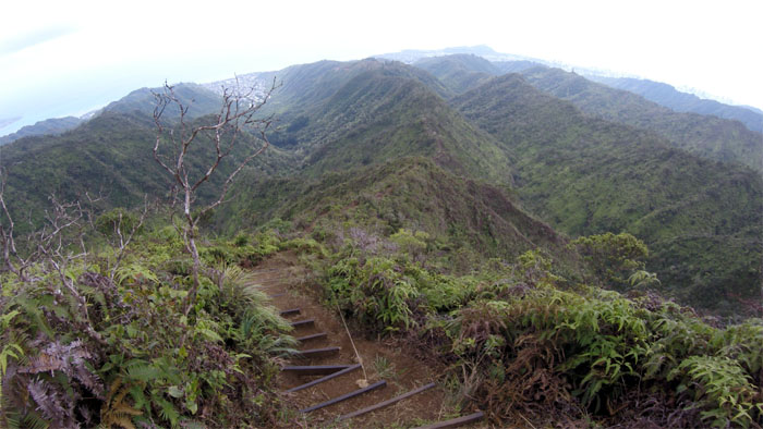
Ko’olau Summit Ridge Trail (KSRT)
From sea to shining sea.
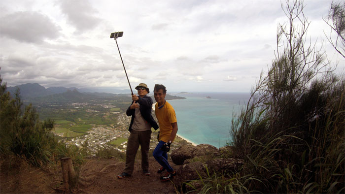
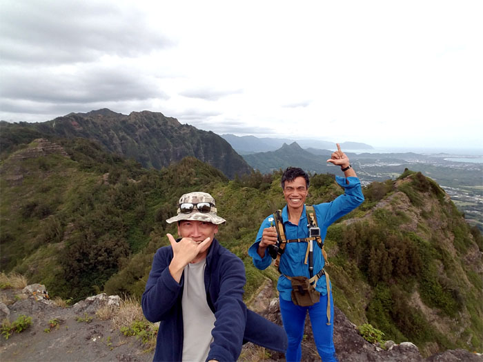
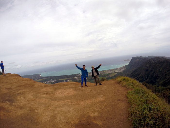
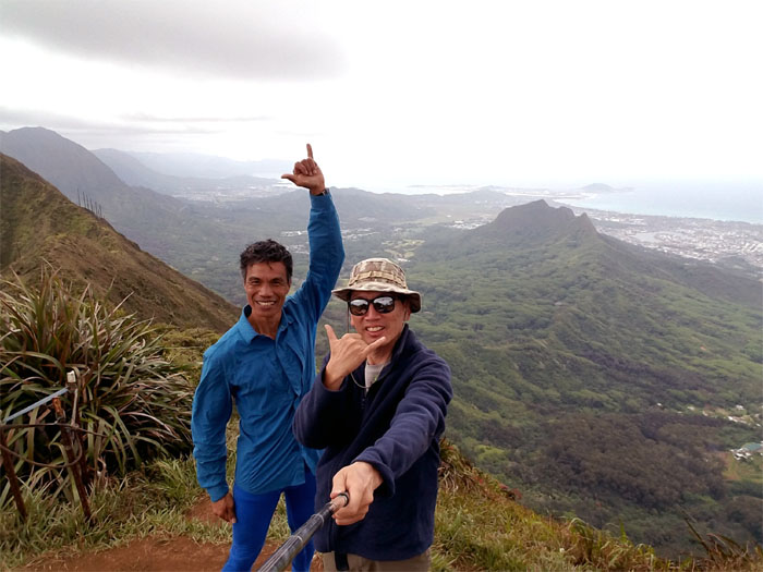
Kamiloiki Summit
Two selfies for the price of one.
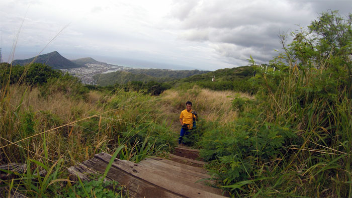
Waimanalo
Back out onto the hot exposed ridge line.
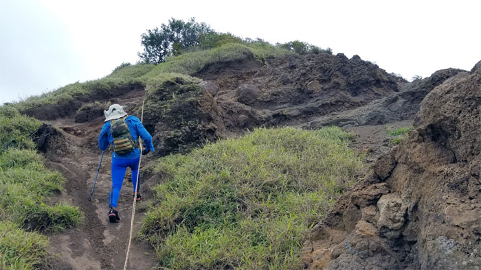
Tom-Tom Trail
Ferlino making his way up to the terminus of the Tom-Tom Trail.
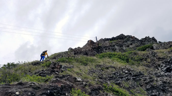
KSRT
King of the Hill.
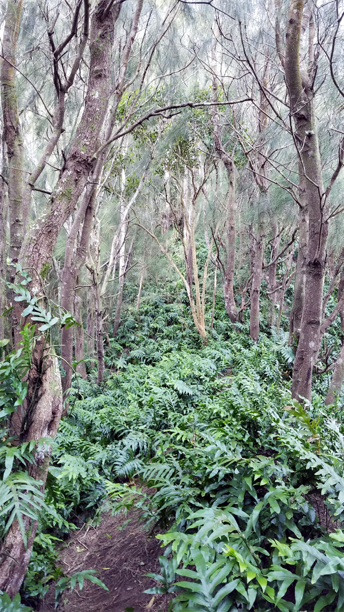
Ferns
Plunging back into the shaded densely thicketed tree line.
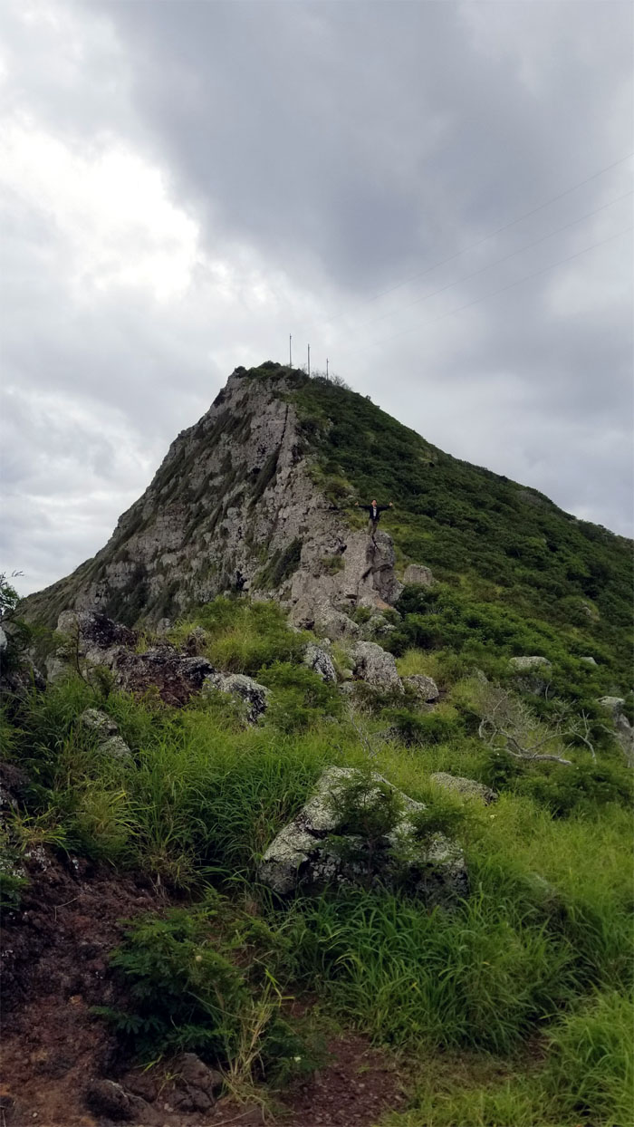
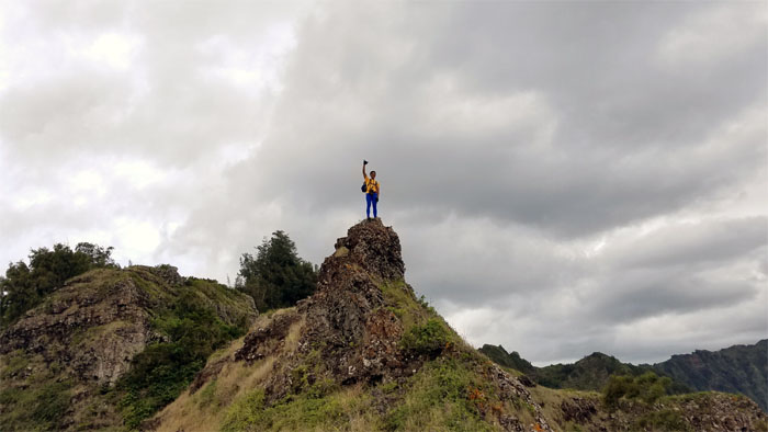
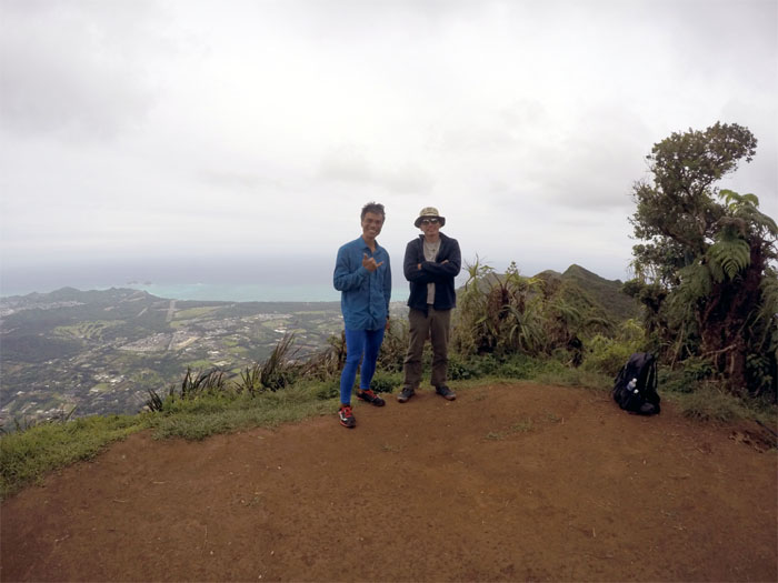
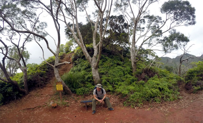
Mariner’s Ridge Summit
Picture taking at the 1,361′ shuttered summit. A shame that Kamehameha Schools shut down one of the shortest and easiest trails to the Ko’olau Mountains.
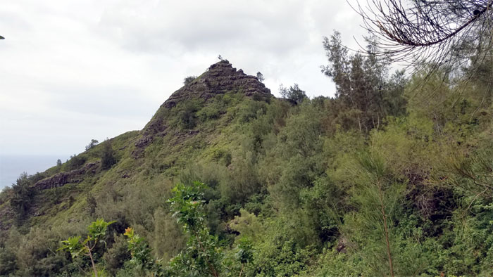
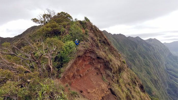
Hahaione Pyramid
Skirting the rocky base that rises to a triangular point, depending on your point of view.
HECO
Powering both sides of the island. Photo by Ferlino Carinio.
KSRT
Approaching one of the most heavily trafficked summits on the Ko’olau Mountains.
Kuli’ou’ou Summit
The less crowded spot on the 2,028′ eroded hill. Photo by Ferlino Carinio.
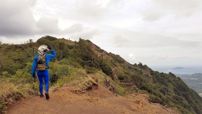
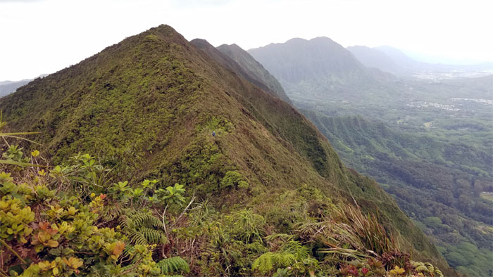
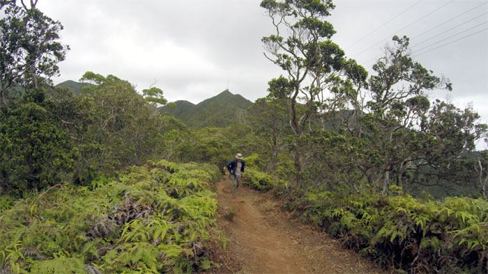
KSRT
We left the crowds behind us to continue our traverse along the heavily eroded ridge section.
IG Spot
Ferlino against the backdrop of the fluted flanks of the Ko’olau Mountain Range.
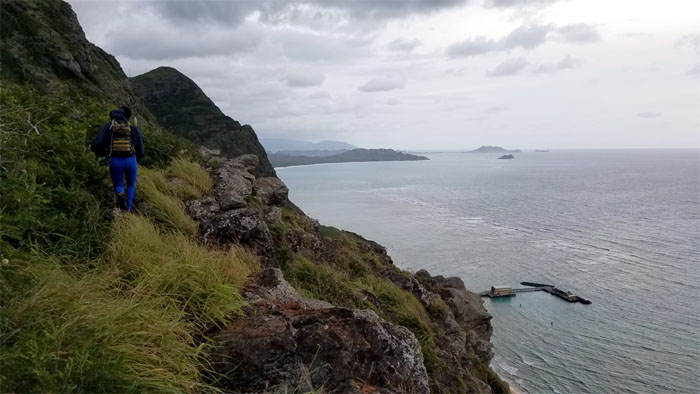
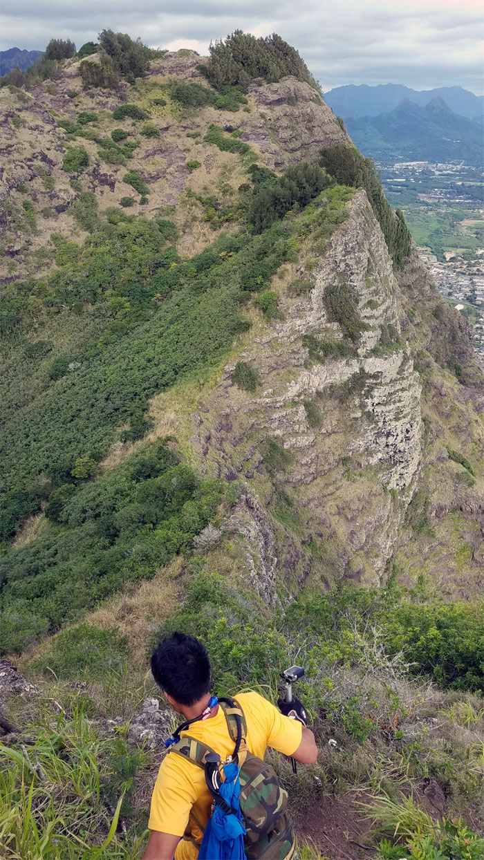
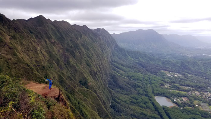
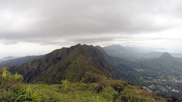
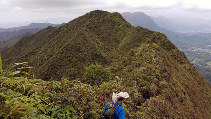
KSRT
The sliver of an eroded ridge that looks narrow and precarious than it actually is.
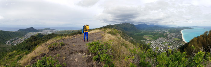
Pu’u O Kona
Looking at a couple more hills that we had to hop, skip and summit to from our 2,200′ flat topped mountain. Photo by Ferlino Carinio.
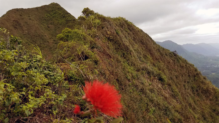
Lehua
We didn’t want to see if the picking of the flowers was folklore or reality.
Kulepeamoa
No flapping chickens were coming home to roost on this summit.
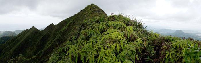
KSRT
The cross over was mild in terms of ups and downs and overgrowth.
Hawaii Loa Summit
Somebody was still cold at the 2,520′ knob. Lacking proper insulation. Photo by Ferlino Carinio.
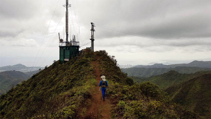
KSRT
We can see the relay station for the summit.
Wiliwilinui Summit
Our last summit stop.
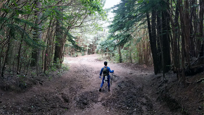
Wiliwilinui Ridge Trail
Time to head down the trail.
Wiliwilinui Ridge Trail
We had 1,300′ and so many slatted steps to go down to the parking lot.
Wiliwilinui Ridge Trail
Leaving the summit and chilly air behind us. Photo by Ferlino Carinio.
Bike stop
Waiting for the #80 Biki Bike and missing that swing to pass the time. Photo by Ferlino Carinio.
Wiliwilinui Ridge Trail
Ferlino swooshing down the trail. Just missing the skis.
All pau
Mahalo to Jasmin for picking us up in the gated community of the rich and not so famous. Photo by Ferlino Carinio.
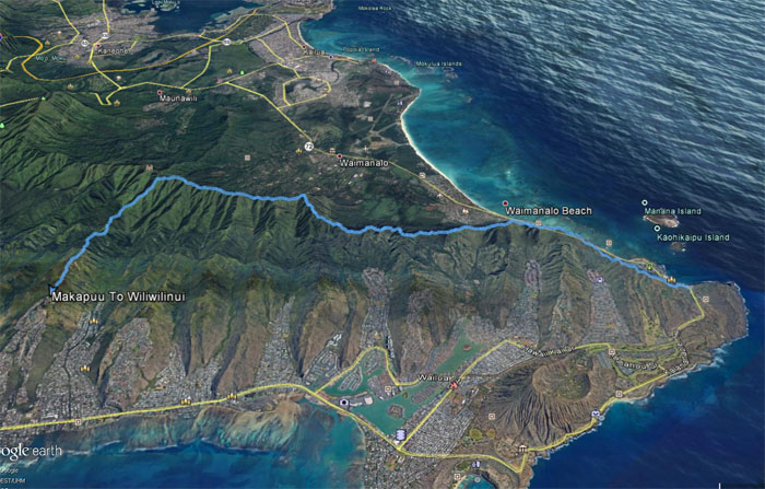
GPS Tracks
Our Plan B hike covered a little over 10 miles through tree topped and exposed ridges. Post hike meal at Mama Pho. Thanks for the meal Jasmin!
Note: I have been made aware that some hikers have been using my blog as a hiking guide and getting lost on the trails. Please note that this blog was made to document the hike for the crew(s) that did it. That is why some of my comments will seem to have no relevance or meaning to anybody outside of the crew(s) that hiked that trail. My blog was never meant as a hiking guide, so please do not treat it as such. If you find inspiration and entertainment from these hikes, that is more than enough. If you plan on replicating these hikes, do so in the knowledge that you should do your own research accordingly as trail conditions, access, legalities and so forth are constantly in flux. What was current today is most likely yesterdays news. Please be prepared to accept any risks and responsibilities on your own as you should know your own limitations, experience and abilities before you even set foot on a trail, as even the “simplest” or “easiest” of trails can present potential pitfalls for even the most “experienced” hikers.
{ 0 comments… add one now }