
It has been over two years since we last hiked up to the flat topped mountain known as Mount Ka’ala. This called for a reunion hike and another reunion of sorts, as Jason joined Glenn and myself after taking a long break from the hiking trails.

Left for Tiki Ridge
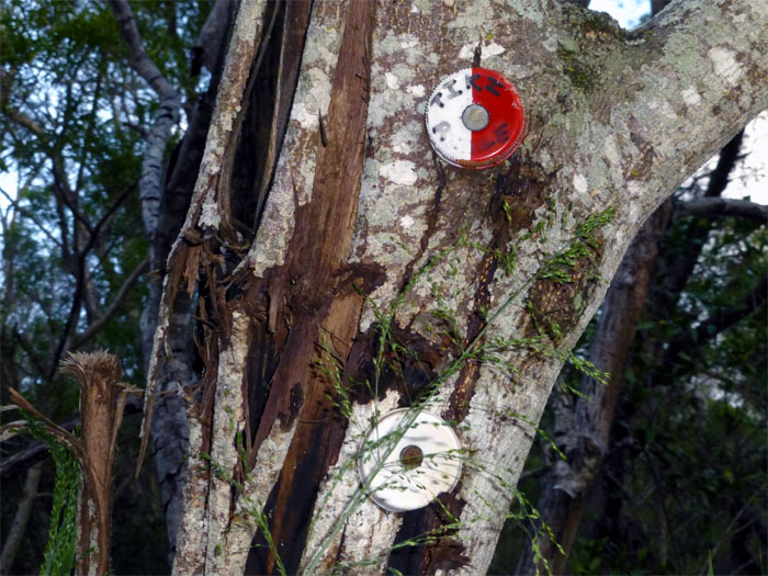
We pushed off a little past 7am and made our way up a mile of alternating asphalt and concrete road. Boy, do I hate this road! Once the paved road ended at the water tank, we turned left into the bushes and started following the red and white bottle caps nailed to the trees.

Follow the red/white bottle caps
The trail lead us through dry riverbeds and kukui nut trees with their droppings crunching and rolling underneath our footsteps. There are an abundance of markers in the form of red/white and white bottle caps, along with red/white and white ribbons. It can be confusing as one is supposed to follow the red/white bottle caps and now you have white bottle caps as well. One should stay to the left and gain the ridgeline when the markers and the opportunity presents themselves. If you start heading to the right and only see solid white markers, then you are heading into the valley and going a different way.

Slight grade going up
Going up the ridgeline was a nice treat for our cardio workout, not too steep and at just the right grade to get the heart pumping.

Looking back into the valley
The ridge finally broke out of the treeline and afforded us views of the valley we had just left behind.

Tiki #1
There are three small rock sections that must be climbed, all relatively easy. All of them have webbing and a bright yellow garden hose, if so needed. Past the first rock section, is a small tiki statue. Which I totally missed. Jason and Glenn had to point it out to me, so I had to climb back down to get my picture!

Hey, give me a hand!
Jason coming up the second rock section. He didn’t really need a hand. Clap. Clap. Clap.

Tiki #2
Looking down at the second tiki statue. Are there any more that we missed?

Top of Tiki Ridge
Glenn holding the black webbing that marks Tiki Ridge, something that we totally missed on our hike last time. After making our way down the goat fenceline, it was a pleasant and flat stroll to 3 poles.

3 Poles
Taking a short lunch break at 3 poles. Jason started cramping up and despite my meager motivations, decided to stay put until we came back down from the mountain top.

Climb to Mount Ka’ala
The winds started to chill us down as we made our way up to the top. At least it wasn’t as blustery as it was on our last hike.

Boulder section
About halfway to the top, are two boulder sections that must be climbed. Both offer ample footholds and handholds to get over them. Ropes are present, if needed.

Panoramic view from top of Ka’ala trail
Click here for the larger image. Pictures, well at least my pictures, don’t do the views justice. You have to see them in person.

Entering Mount Ka’ala Reserve
Nice windbreaker Glenn. Inside joke.

Any happy face spiders in the bog?
As we made our way on the planks through part of the 1,100 acre Mount Ka’ala Reserve, I didn’t realize how big the bog really is. It seemed to go on and on. Endless.

Top of Mount Ka’ala
We finally popped out of the bog to be greeted by the huge dome of the FAA radar station, it was a beautiful day at the 4,025′ summit of Mount Ka’ala.

Panoramic view of North and Central Oahu
Click here for the larger image.

Going back down
Going back down to 3 poles was eye candy almost the whole way. The views of the Waianae Mountain Range and surrounding valleys were just spectacular. When we got to 3 poles, Jason was nowhere to be found. He had decided to go down the trail with another hiker that was waiting for her group.

The long road home
Once we made our way down the Waianae Kaala Trail, we had to subject our toes to that paved road again. Going down. Did I mention I hated this road?

Moon over the mountains
Glenn took his shoes off and jogged down the road in his socks. Hardcore hiker!

GPS Tracks
It took us a little under 8 hours to complete this 8.18 mile hike.
{ 2 comments… read them below or add one }
Nice write up and photos! y cousin and I attempted via the trail on the right. Tiki Ridge looks
Thanks Hawaii Girl! Hope to see you on the trails!