We managed to coax a 10x veteran from retirement to join us on today’s hike. Met up with Agnes, Anne, Chris, Daryl, Lee and Mia at the beach park. Thanks to Alexis for dropping me off.
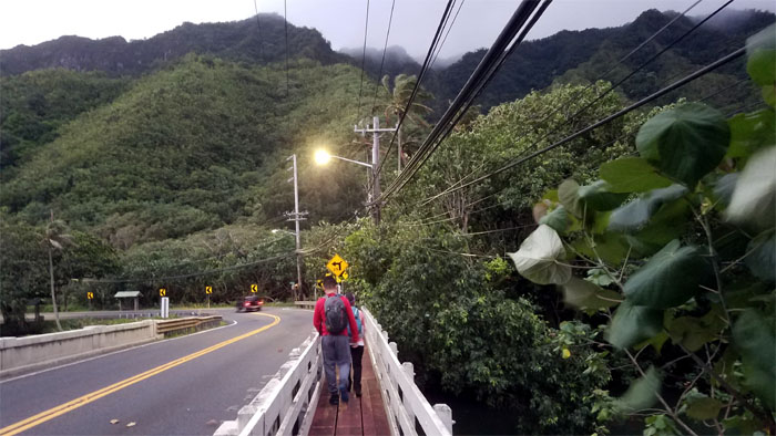
The most dangerous start to any hike, crossing the road to get to the other side. Luckily, we made it without incident and it didn’t hurt that we were wearing bright colors.
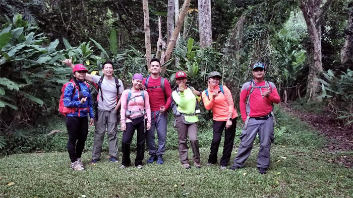
Group photo left to right: Agnes, Sleepy, Mia, Daryl, Lee, Anne and Chris.
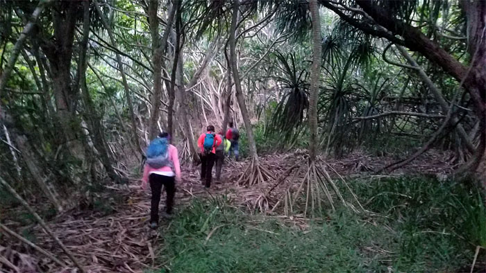
We skirted the cemetery and made our way up through the hala grove.
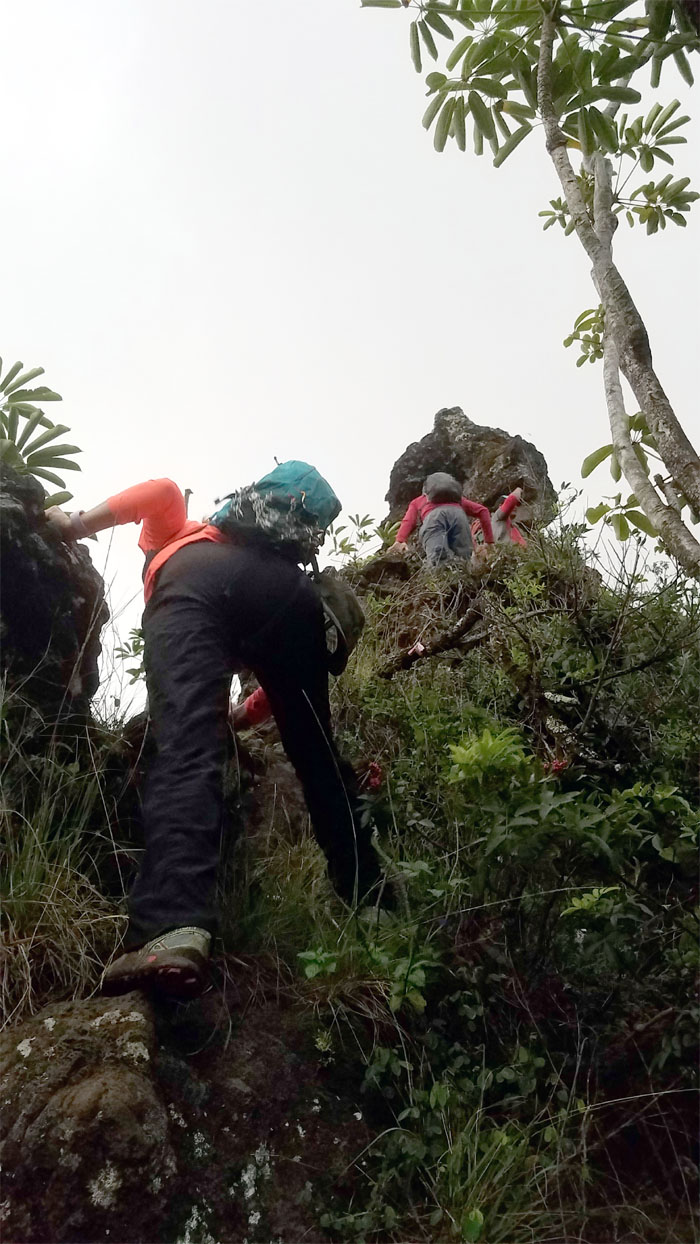
Climbing up the steep, rocky section.
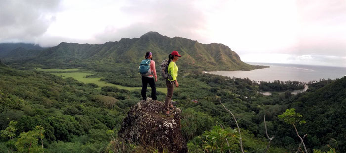
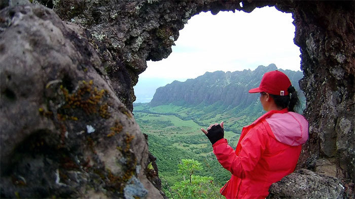
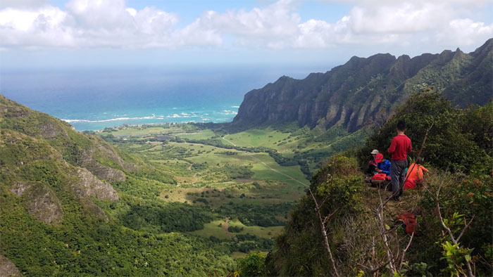
Lee and Mia standing on Picture Rock, with views of Pu’u Piei and Kahana Valley. Photo by Agnes Bryant.
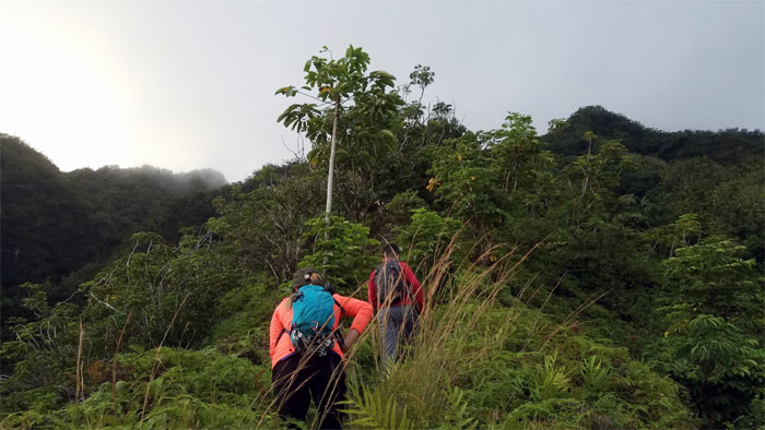
The ridge widened at certain parts but kept the steady incline.
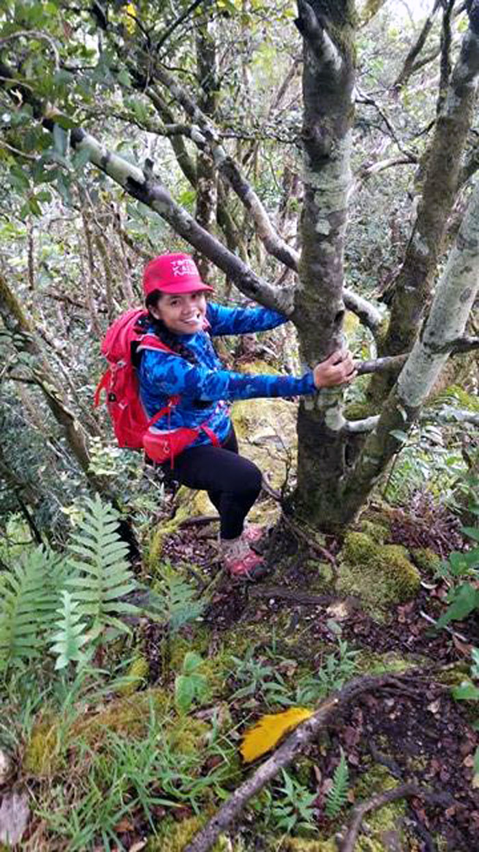
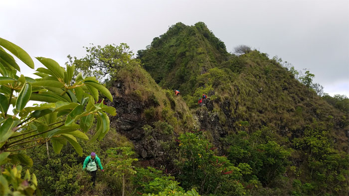
Agnes climbing up the moss carpeted ridge using the trees.
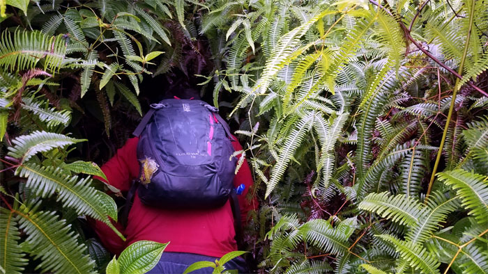
Daryl burrowing through the uluhell overgrowth.
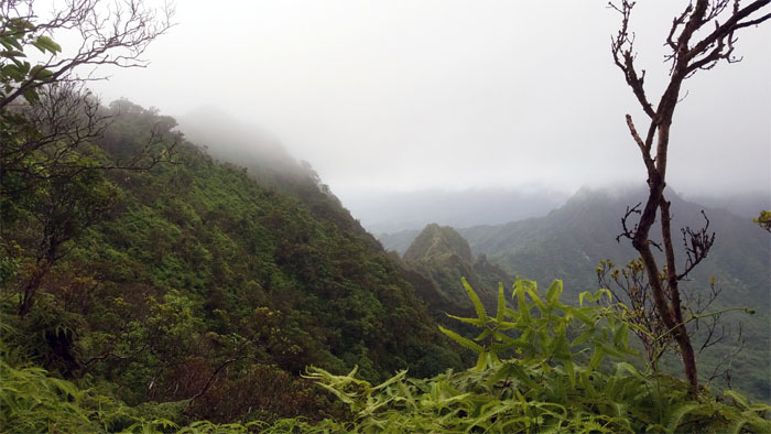
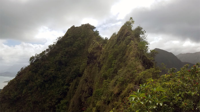
The ridge leveled off somewhat with cloudy views of our destination to the right.
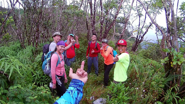
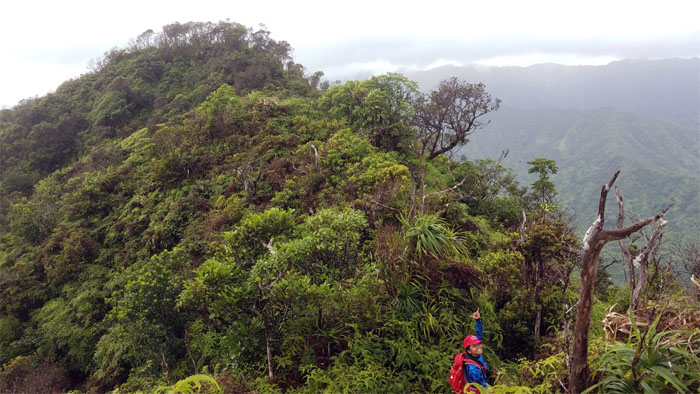
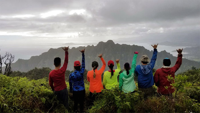
The right and wrong way of doing the oppa finger gesture. Photo by Agnes Bryant.
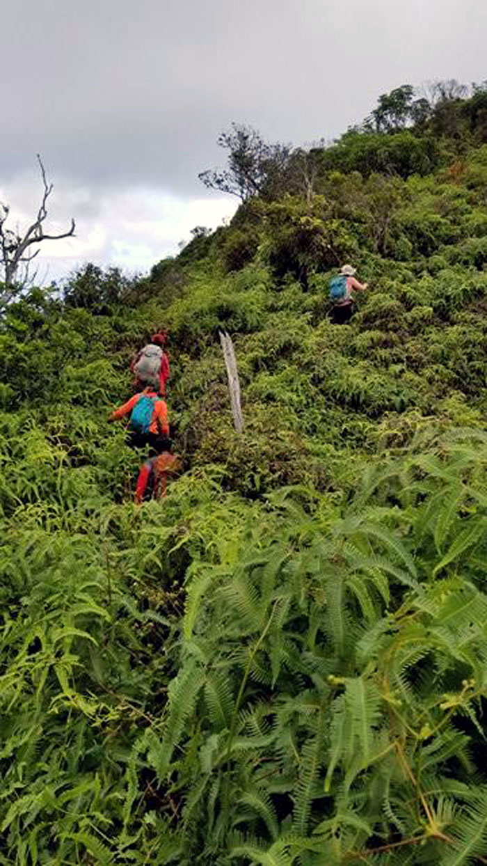
The ridge picked up the pitch as we approached the top.
Group photo at the 2,027′ summit of Manamana ridge.
Agnes plunging ahead into the mud and overgrowth.
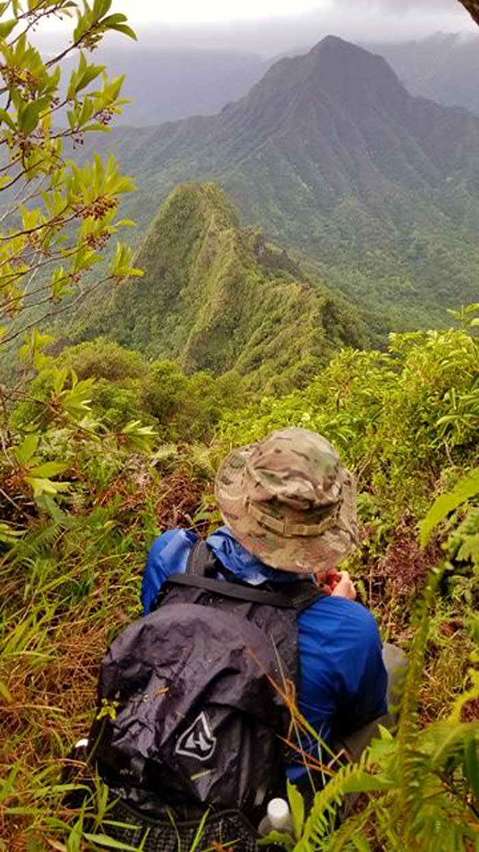
Sitting in Agnes spot. Photo by Agnes Bryant.
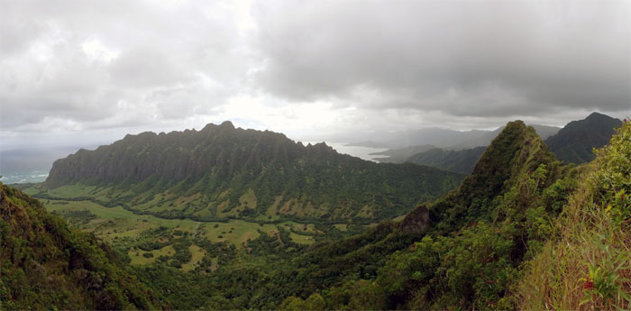
Panoramic view from the 1,900′ spot before dropping down into the saddle.
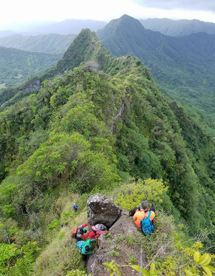
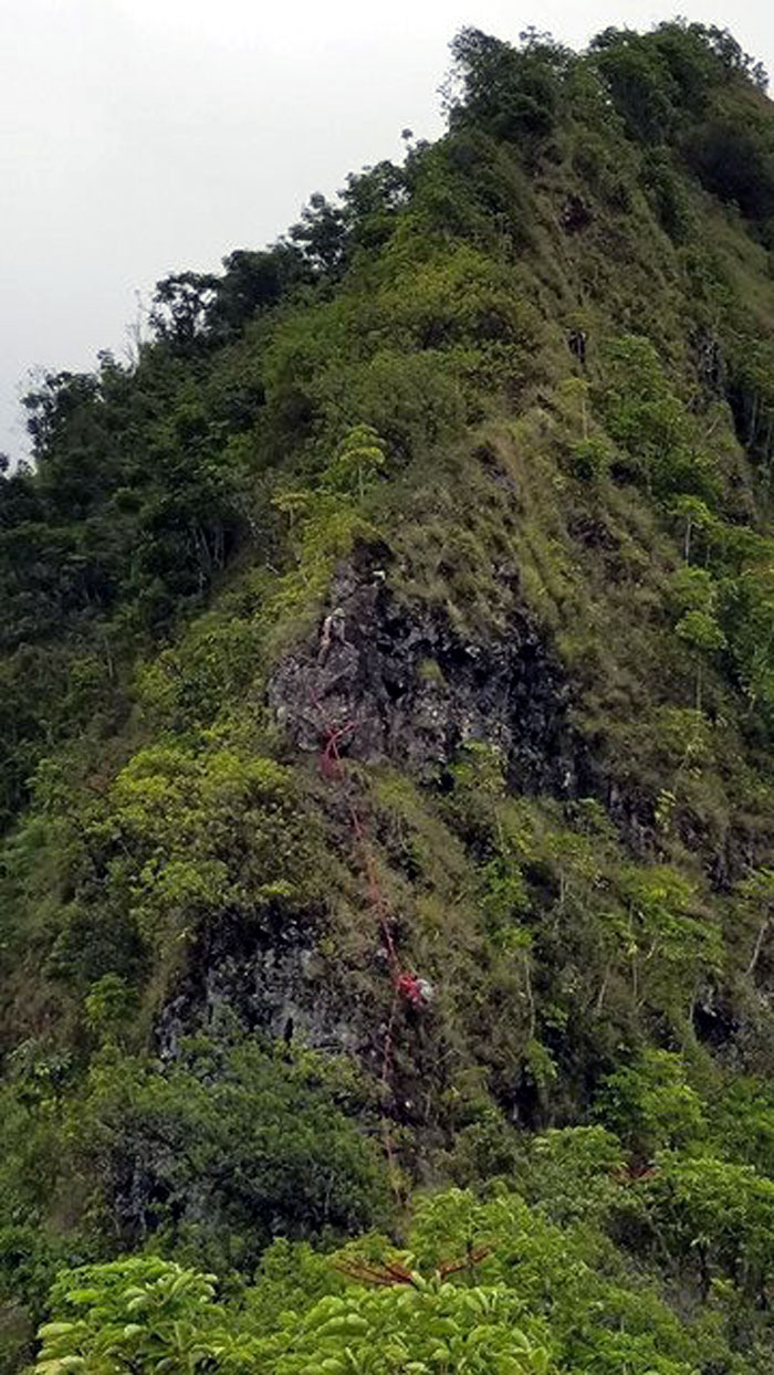
Climbing down the steepest section before I realized this was where webbing would have helped. I didn’t even recognize this spot from five years ago.
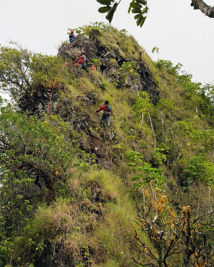
Chris lashing his webbing to the rock for the rest of the crew. Photo by Agnes Bryant.
Sweeping view of Kanehoalani, the detached spur mountain range, that sits on Kualoa Ranch.
Traversing the undulating saddle.
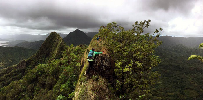
Mia contouring around a boulder on the narrow ridge. Photo by Daryl Cacatian.
Peering into Ka’a’awa Valley. Photo by Agnes Bryant.
Daryl contouring on the Windward side around a knob.
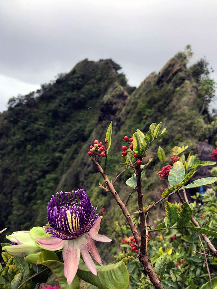
Passionately psychedelic flowers on the ridge. Photo by Mia Garrison.
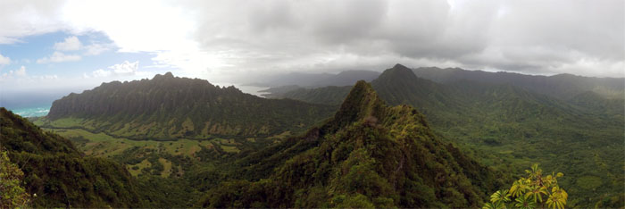
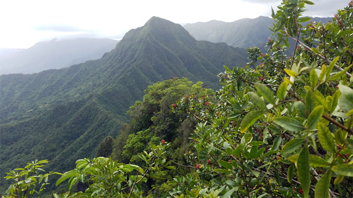
Panoramic view of Pu’u Manamana and True Manamana.
Heading to the summit that was reportedly first ascended back in 2010. Photo by Daryl Cacatian.
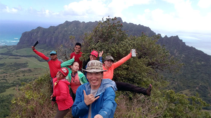
Group photo at the roughly 1,530′ summit. What it lacked in elevation, it more than made up for the sweeping views of the valleys, ridges and mountains from our tiny little perch.
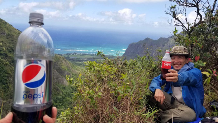
The Pepsi Challenge, going strong since 1975. Photo by Agnes Bryant.
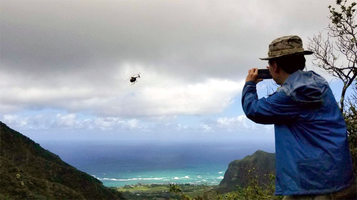
This tour helo buzzed us pretty close. Photo by Agnes Bryant.
Trying to bushwhack through the back door. Nobody’s home. Checking out another interesting ridge dropping off Pu’u Ohulehule. Another hike for another day.
Leaving the postage stamp sized summit.
Making the return trip on the crumbly and jagged ridge.
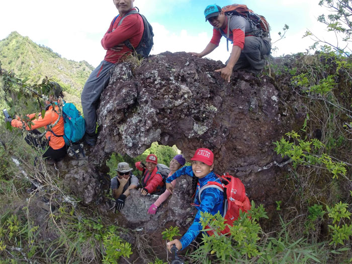
How many hikers can you fit into a puka? Apparently only three. Photo by Agnes Bryant.
Making our way out of the saddle.
Lee climbing her way back up the steep section. Photo by Agnes Bryant.
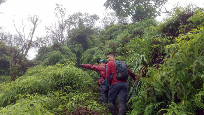
Pushing our way up through the uluhell overgrowth. Photo by Agnes Bryant.
Mahalo for the mountain hospitality.
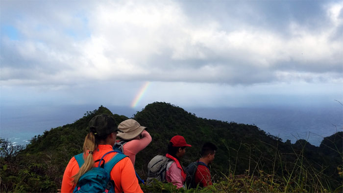
Rainbow sighting off Kahana Bay.
Going down the broad section of the ridge. Photo by Agnes Bryant.
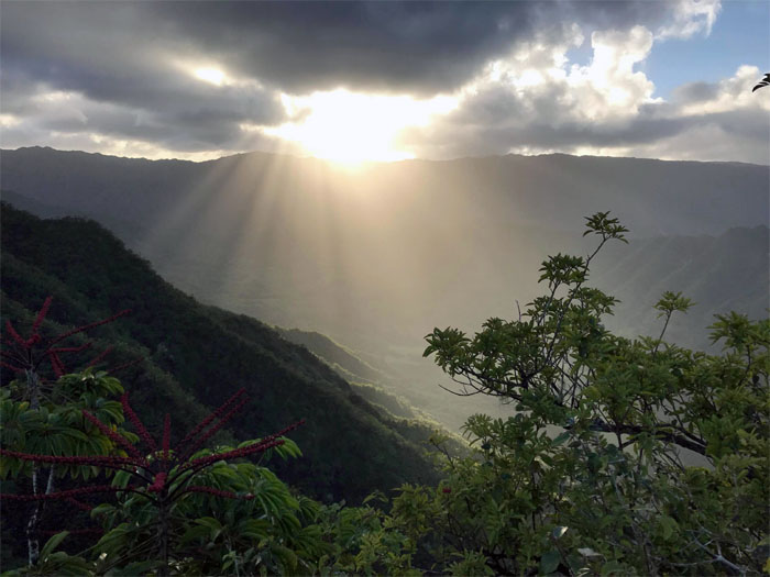
It was a magical moment to witness the sunbeams piercing the clouds and bathing Kahana Valley. Photo by Mia Garrison
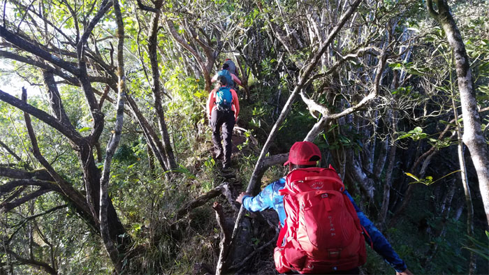
Passing through the forested section of the ridge.
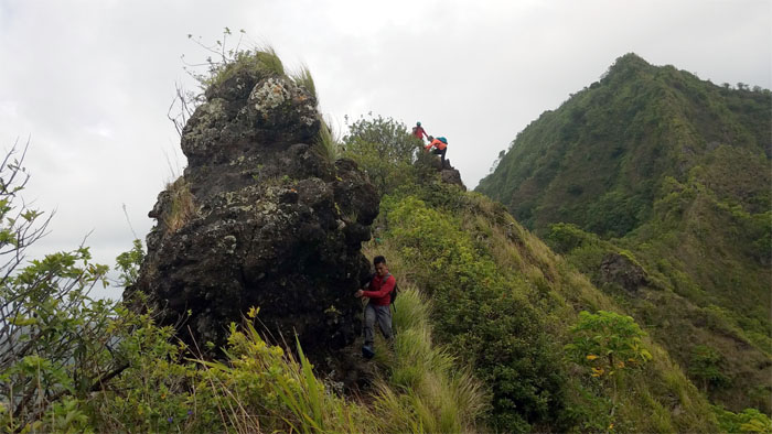
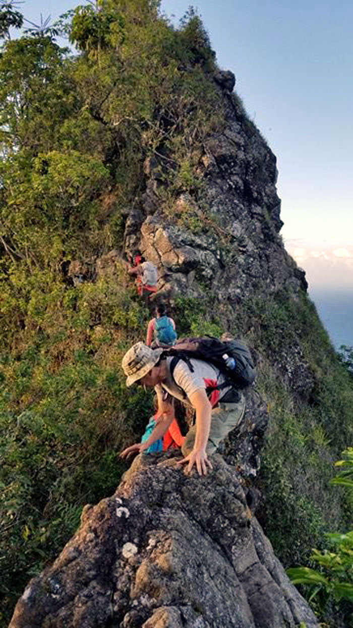
Climbing our way up the steep, rocky ridge section. Photo by Agnes Bryant.
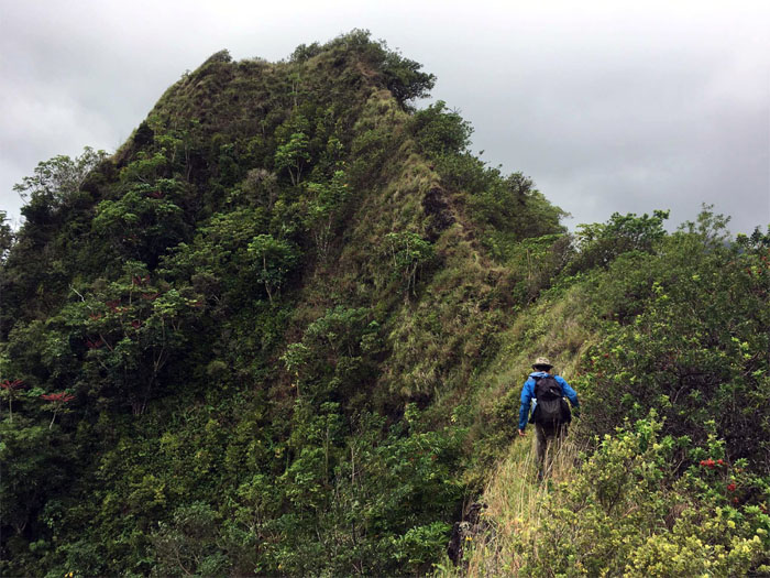
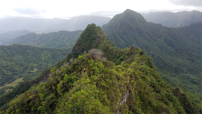
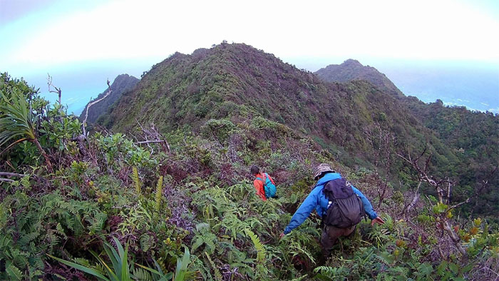
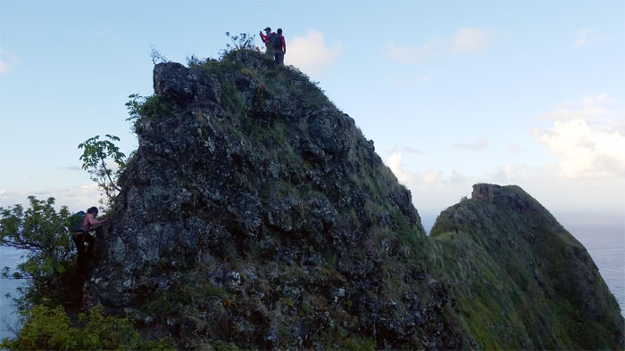
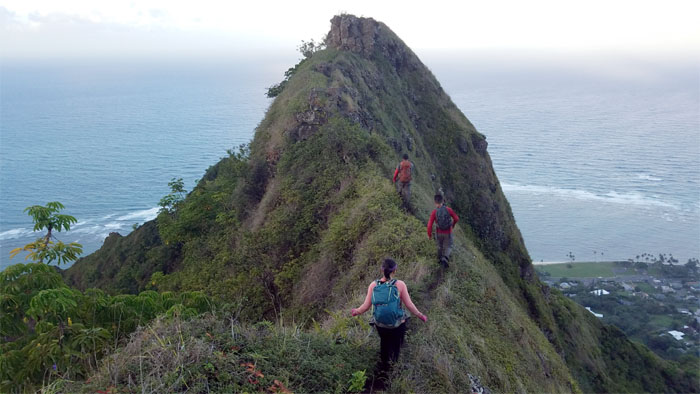
Making our way down towards the pointed and narrow peaks of the ridge.
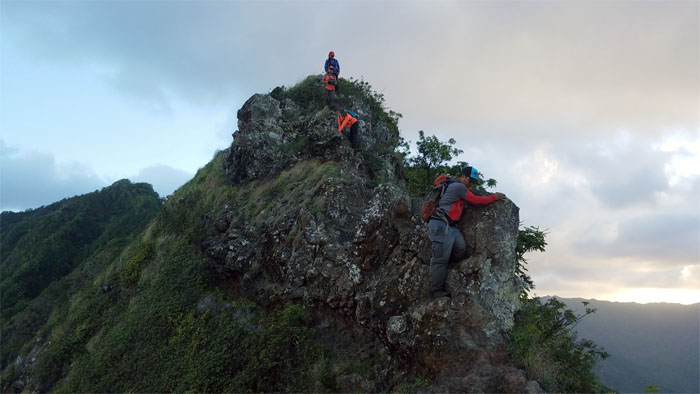
Mia climbing her way up to join Chris and Daryl at the top.
Looking back at the sun slowly settling down behind the mountain range.
Following the well trodden path on the ridge.
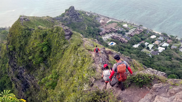
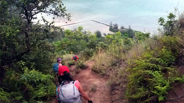
The group negotiating their way down the rock face.
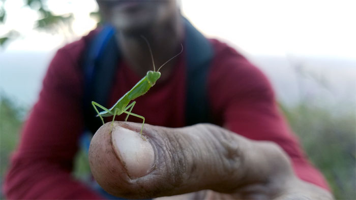
Daryl the praying mantis whisperer.
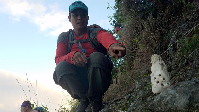
Chris pointing to one of many interesting curios left behind in the mountains for others to witness.
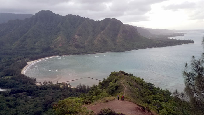
Descending down towards the Crouching Lion rock formation.
The ridge soon broadened and leveled off as we neared Kahana Bay.
We made it down to Kam Highway under the cover of darkness. Thanks to Richie for giving us a hop back to our cars.
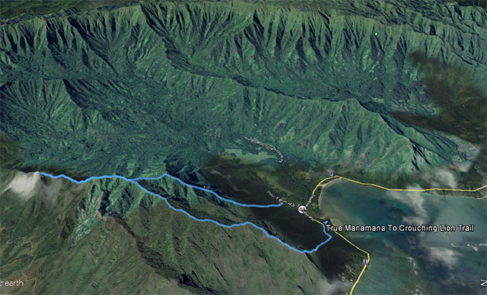
Our dawn to dusk hike covered 4.46 miles with a super fun group. Agnes can now put this hike back into retirement. Post hike meal at Zippy’s. Segregated by gender. I should’ve ordered the usual Oxtail Soup. Mahalo to Daryl for driving me home.
Note: I have been made aware that some hikers have been using my blog as a hiking guide and getting lost on the trails. Please note that this blog was made to document the hike for the crew(s) that did it. That is why some of my comments will seem to have no relevance or meaning to anybody outside of the crew(s) that hiked that trail. My blog was never meant as a hiking guide, so please do not treat it as such. If you find inspiration and entertainment from these hikes, that is more than enough. If you plan on replicating these hikes, do so in the knowledge that you should do your own research accordingly as trail conditions, access, legalities and so forth are constantly in flux. What was current today is most likely yesterdays news. Please be prepared to accept any risks and responsibilities on your own as you should know your own limitations, experience and abilities before you even set foot on a trail, as even the “simplest” or “easiest” of trails can present potential pitfalls for even the most “experienced” hikers.






{ 0 comments… add one now }