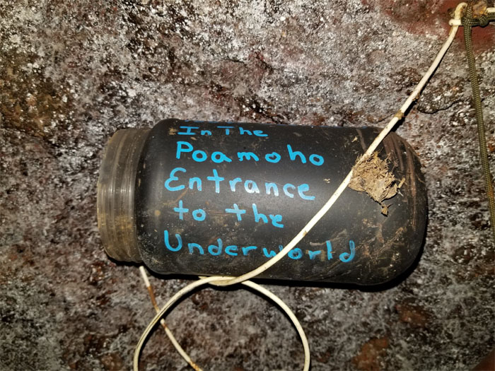
Met up with Chris, Christine, Cisco, Ferlino and Janell to do some possible river riding on the longest stream on the island. Photo by Janell Tuttle.
Janell had checked the rain gauges online earlier and it did not look promising for a day of tubing. We fell back on Plan B. Get lost in the woods. Not literally.
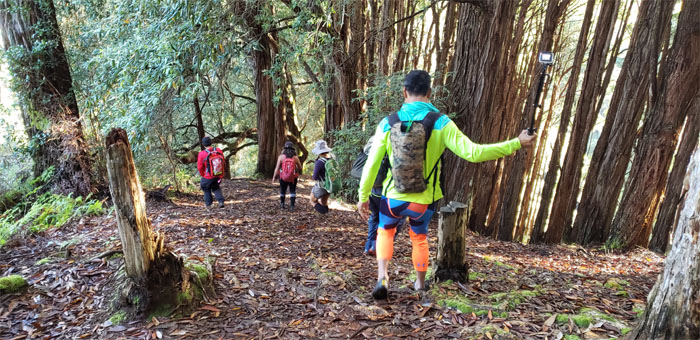
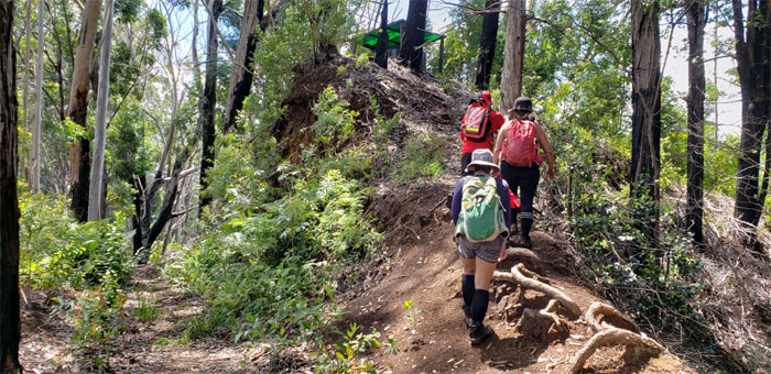
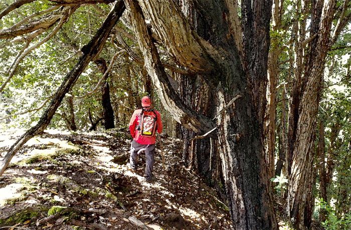
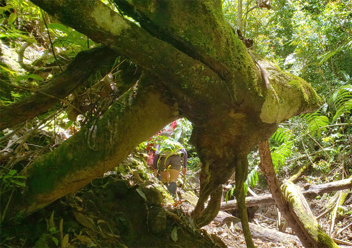
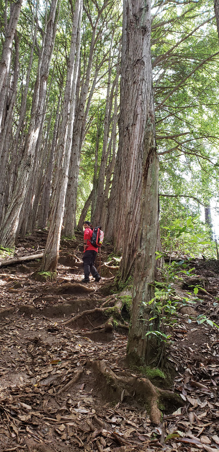
Going down the steeply rooted hill as we passed the twin iconic water tanks that were enveloped with scaffolding.
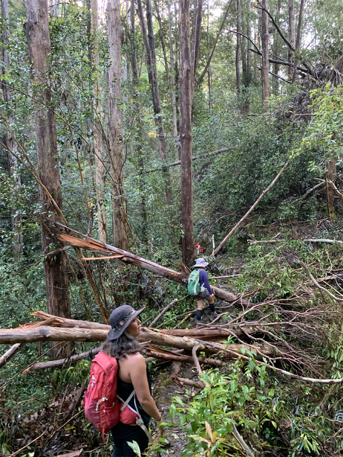
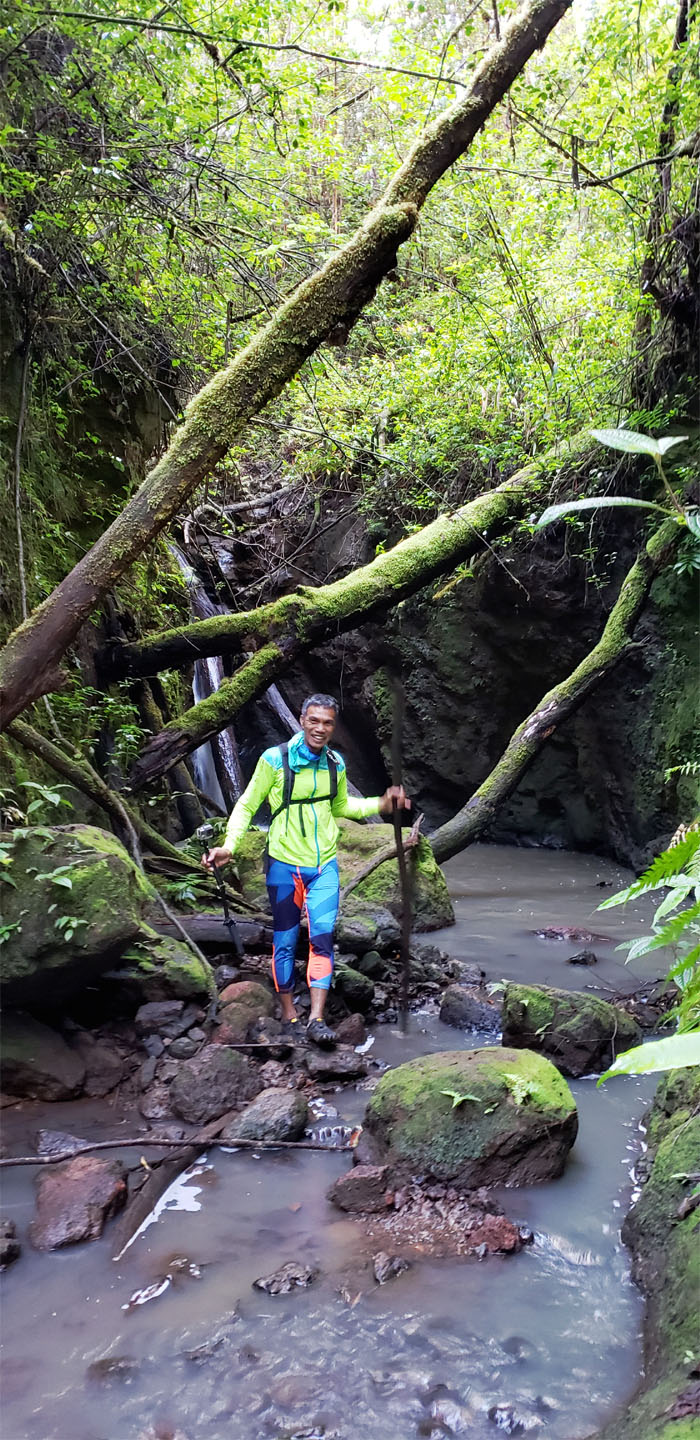
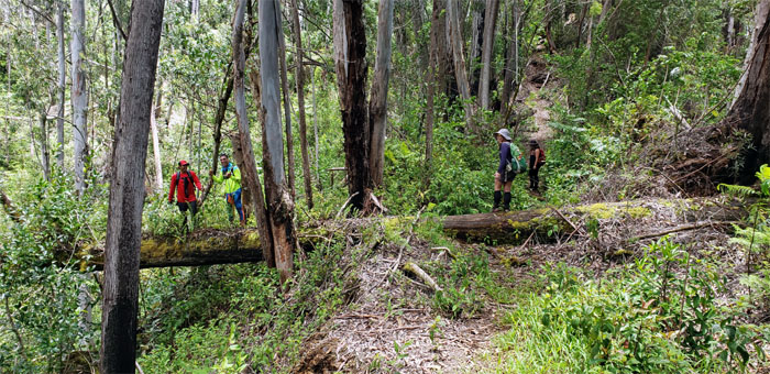
Making our way over the fallen trees blocking the trail. Time for some trail clearing. Photo by Cisco Quintanilla.
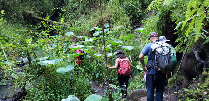
Passing through a clump of elephant ears. Or was it taro plants?
Ferlino’s stay was brief due to the depth and temperature of the pool.
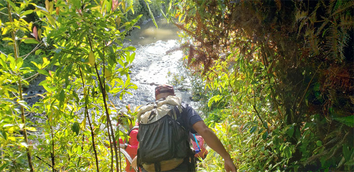
We headed up and over to another water crossing.
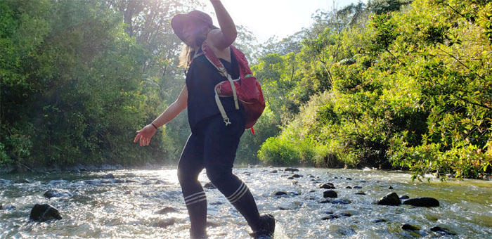
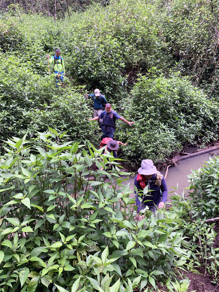
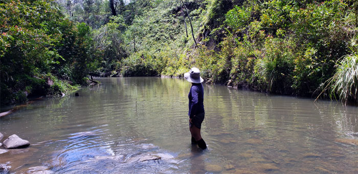
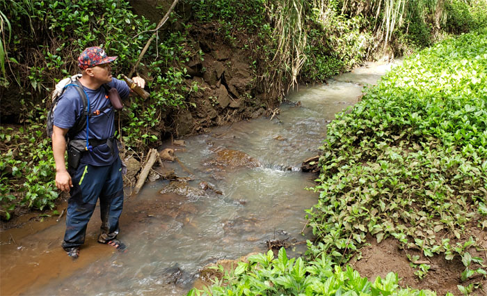
Janell crossing the longest stream in the island. Water levels were definitely low, good for crossing and not so good for tubing.
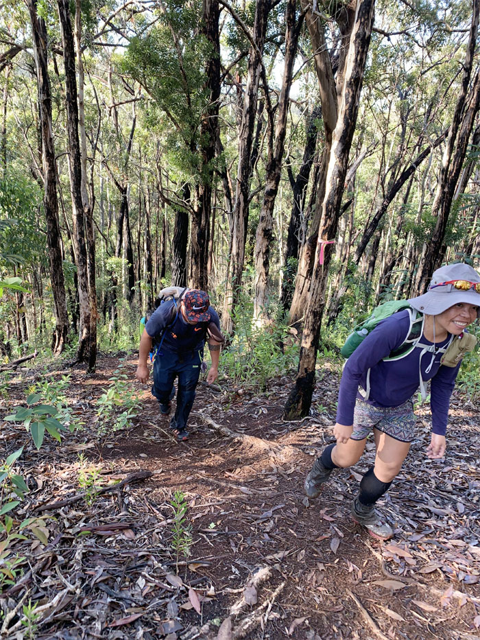
They don’t call this place Wahiawa Hills for nothing. Photo by Chris Bautista.
Janell overlooking the expansive forest and watershed. Photo by Christine Galiza.
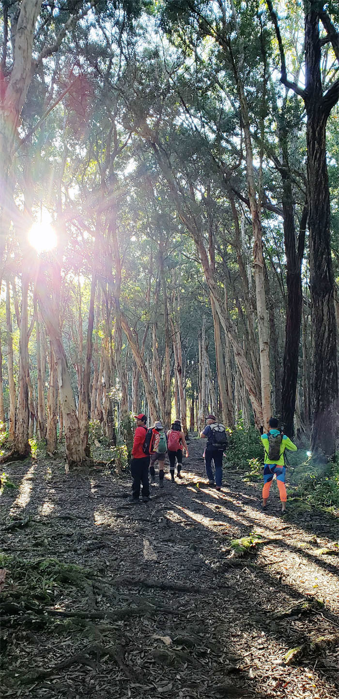
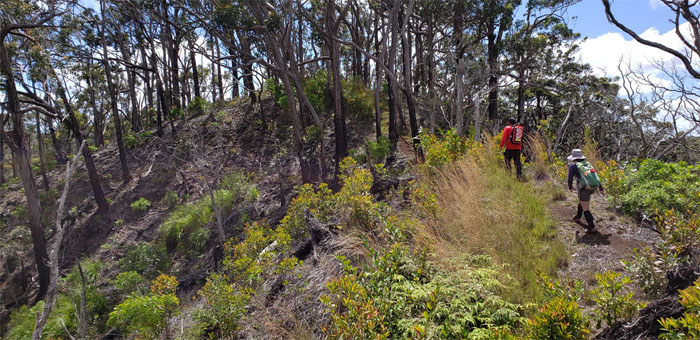
Pushing up another hill dotted with paperbark trees.
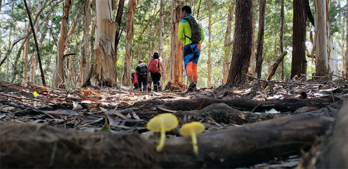
The forest floor was littered with the usual leaves and occasional yellow capped mushrooms living on fallen tree branches.
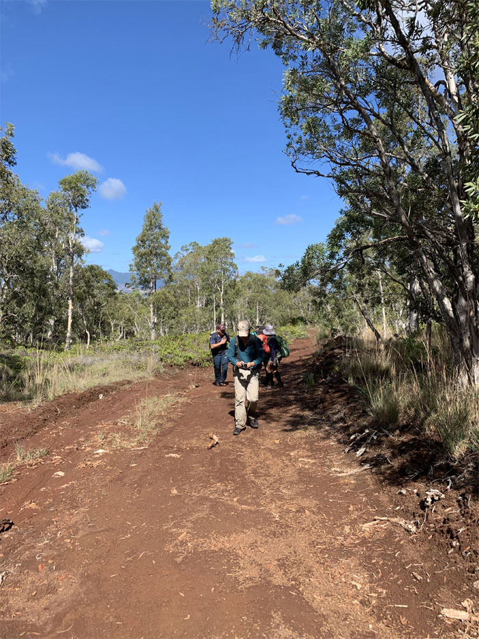
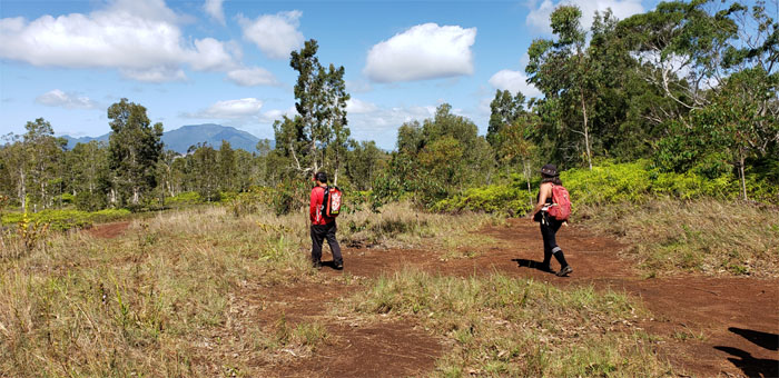
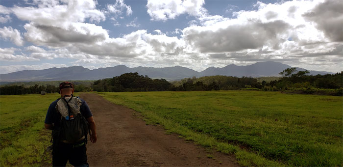
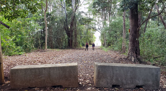
We soon broke free of the tree line and walked on the rutted jeep road that lead to the hunting area. Photo by Chris Bautista.
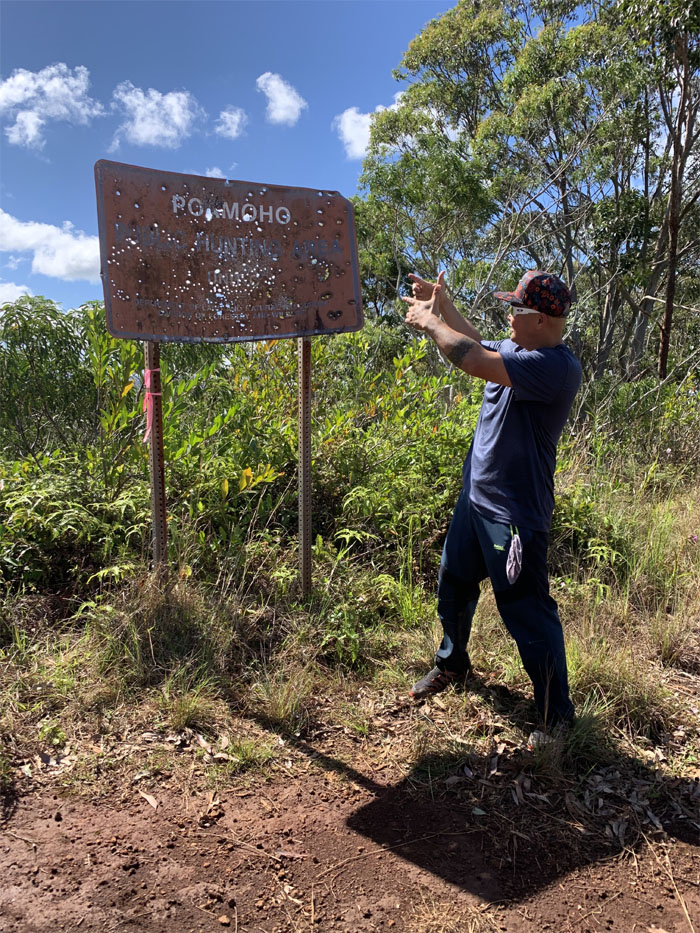
Cisco contributing to the ongoing perforation of the hunting sign.
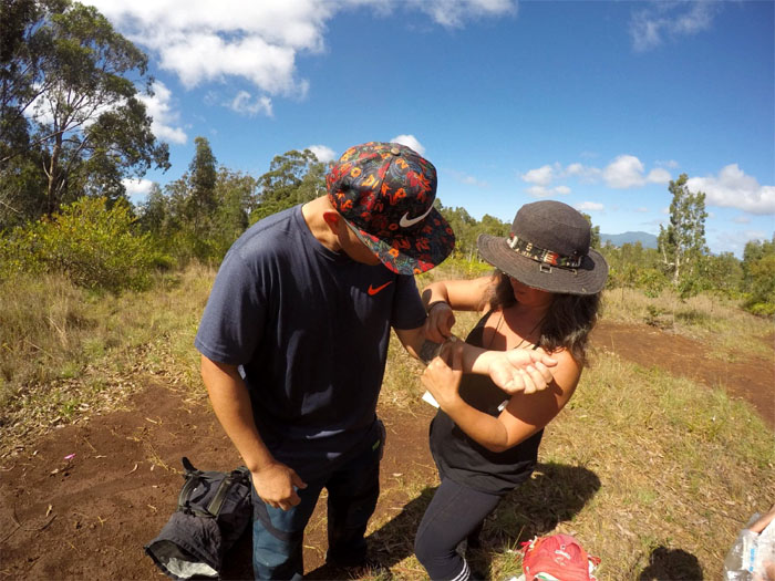
Janell treating Cisco for shooter’s elbow. Firing too many blanks. Photo by Ferlino Carinio.
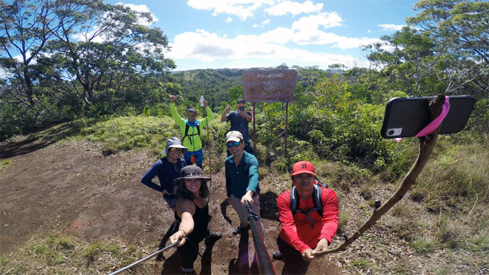
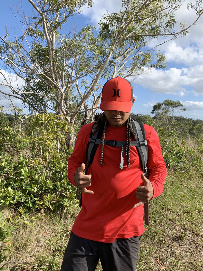
Group photo left to right: Christine, Janell, Ferlino, myself, Cisco and Chris with his eco selfie stick.
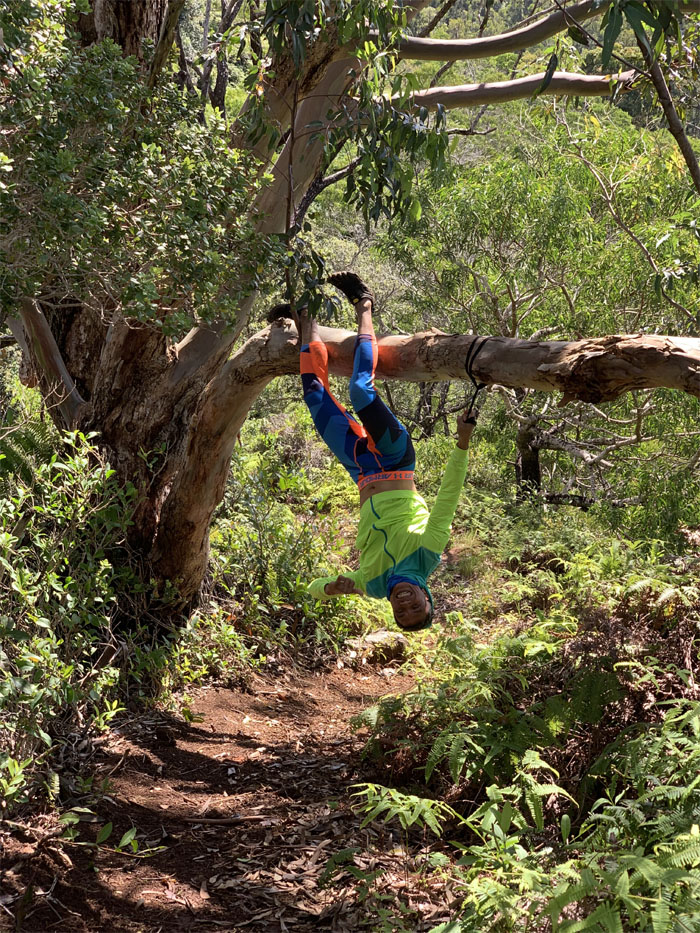
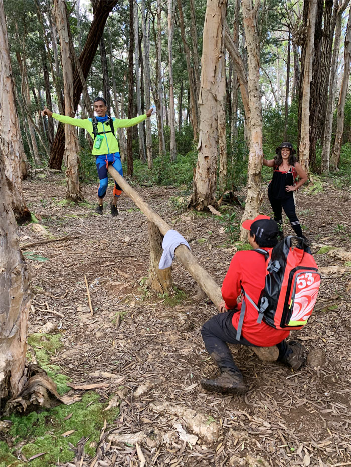
Where there’s a tree, you will find an upside down Ferlino. Photo by Cisco Quintanilla.
I had wanted to refresh my trail memory going to Poamoho, so with that being satisfied, we turned around and headed back.
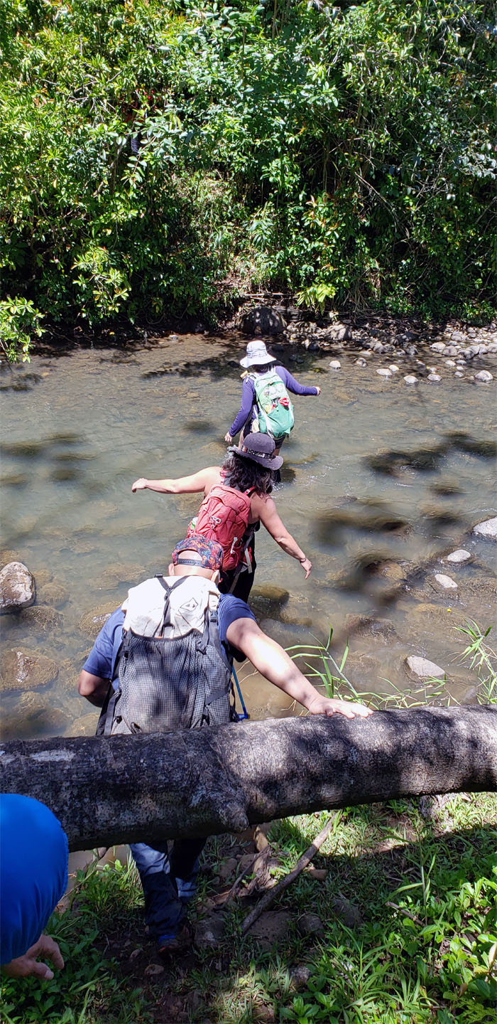
The group getting their feet wet crossing one of several small stream crossings. Photo by Chris Bautista.
Back on the loop trail.
Getting off the loop trail.
You should be in a painting by Photoshop.
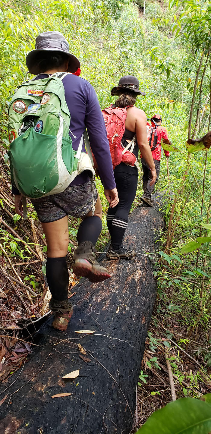
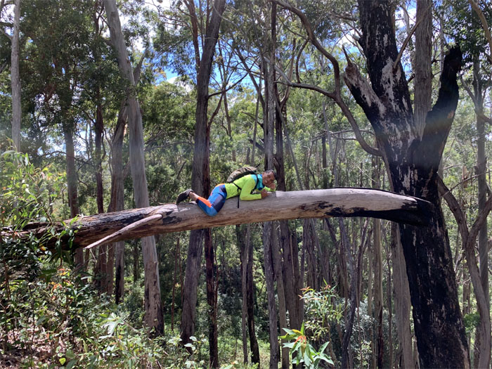
Walking on the fallen tree that was seen as suspect by some.
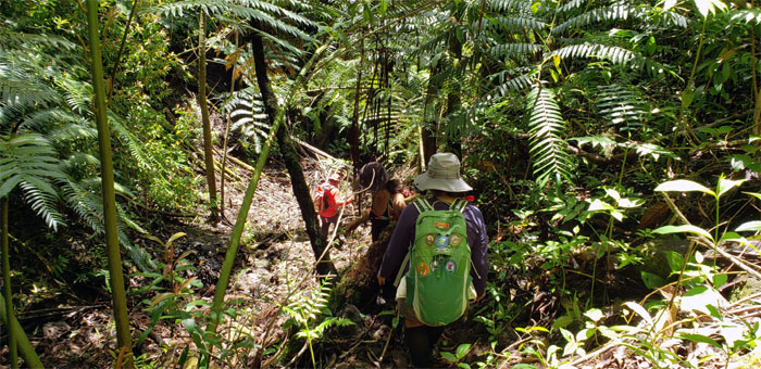
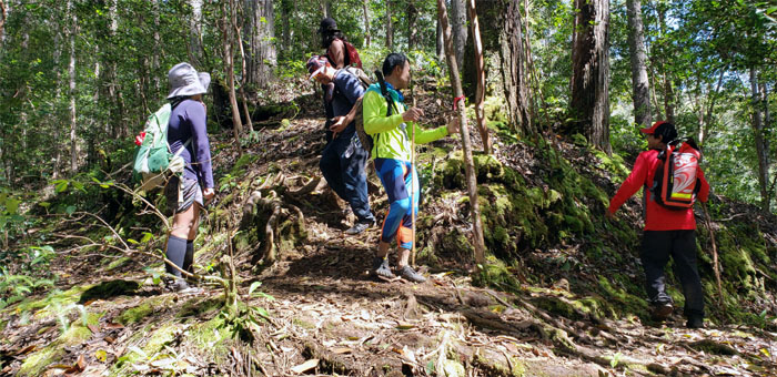
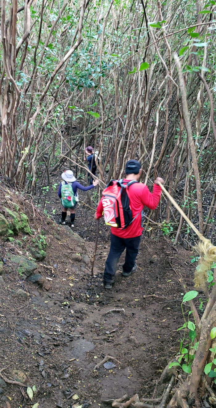
Sliding our way down amongst the giant ferns and loose rocks.
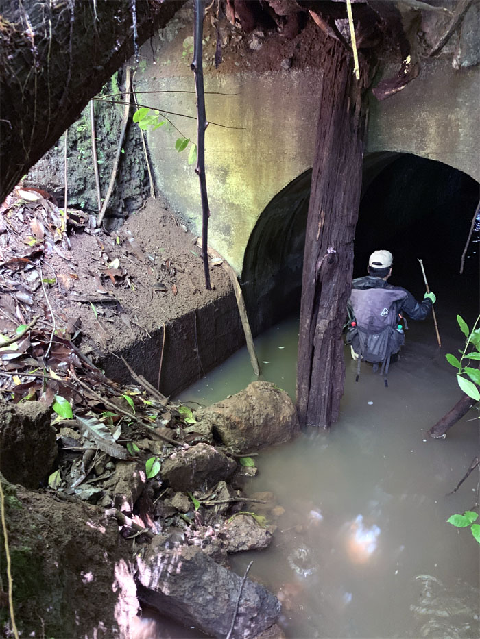
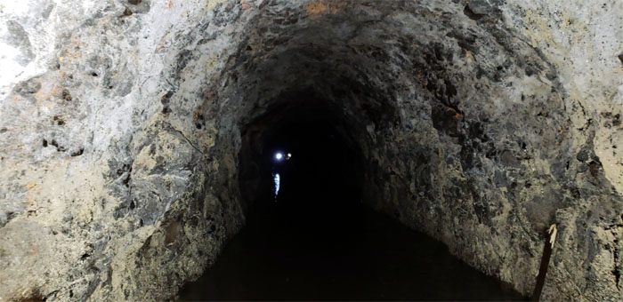
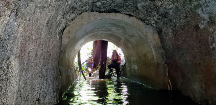
We dropped down into the tunnel that had a giant tree wrapped around the front entrance. Photo by Cisco Quintanilla.
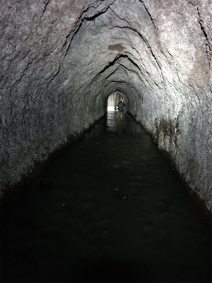
Sloshing and subjecting our extremities to the chill of cold water. It got waist deep as we headed deeper into the tunnel.
Looking ahead to the light that existed at the end of the tunnel. Photo by Cisco Quintanilla.
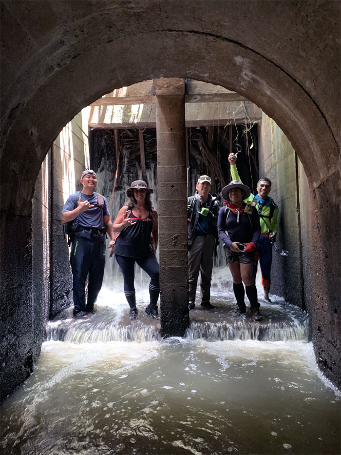
Group photo by Chris Bautista at the end where the full force of the water was muffled by the branches that had clogged the gates over time.
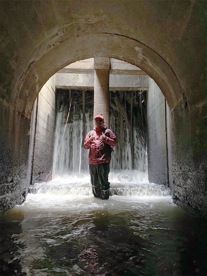
Chris being diffused by the natural light from above.
Thanks to Janell for showing us the “underworld.”
Scrambling our way back out of the gully.
Chris and Ferlino going out on a limb.
Swimming our way through the green ocean of uluhe ferns.
Arriving at our launch or lunch spot, depending on the time of day.
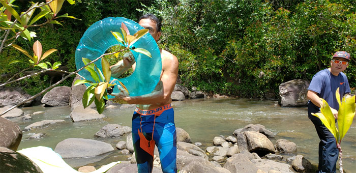
Ferlino didn’t carry the inner tube all day for nothing. Time to huff and puff, but not for the hills this time.
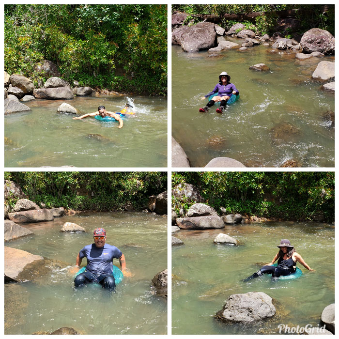
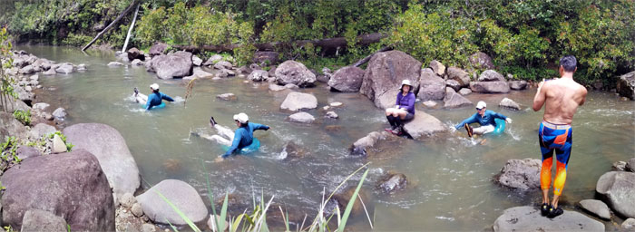
We all tried riding the currents and being swirled around for our amusement. Found out that we needed bigger floaties. These little doughnuts would not have cut it, if we had gone tubing as originally planned. Lesson learned.
Panoramic photo by Janell Tuttle.
After our bottoms were somewhat dry, we launched our way out of the lunch spot.
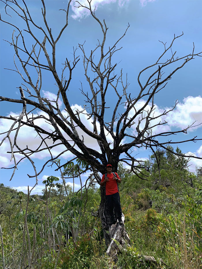
One of many seemingly dead but still standing trees in the hills. Photo by Ferlino Carinio.
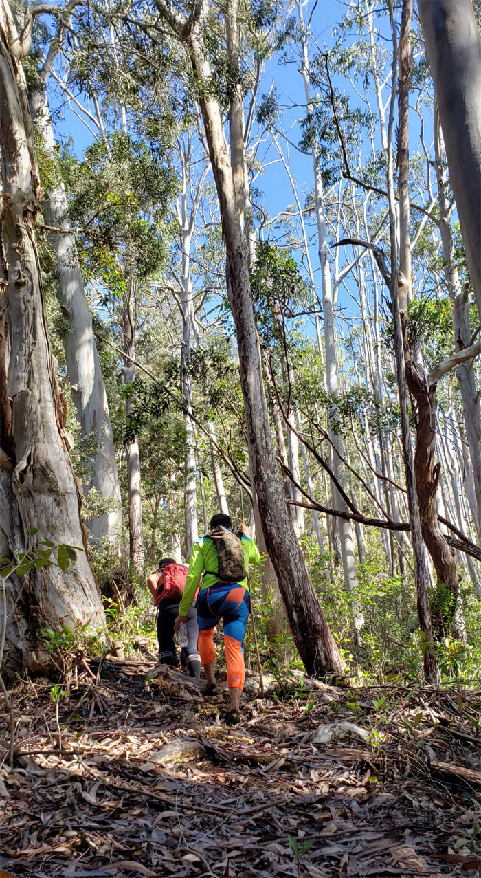
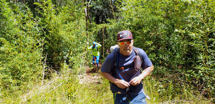
Huffing and puffing this time for the hills.
This is not your high school graduation photo. Photo by Chris Bautista
Coming down our last hill where we intersected with the loop trail from this morning.
Climbing our way back up the steeply rooted hill.
The firing ranges were silent today as Cisco guided us to our last hike of the day.
Leaving the spent brass behind us as we made our way down the slippery slope.
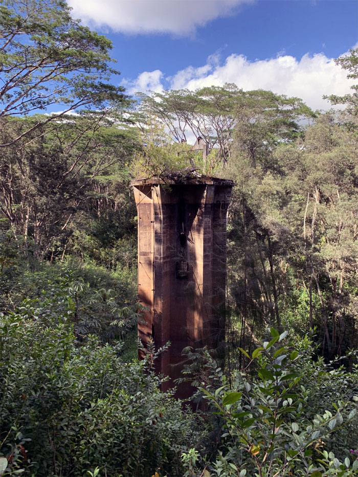
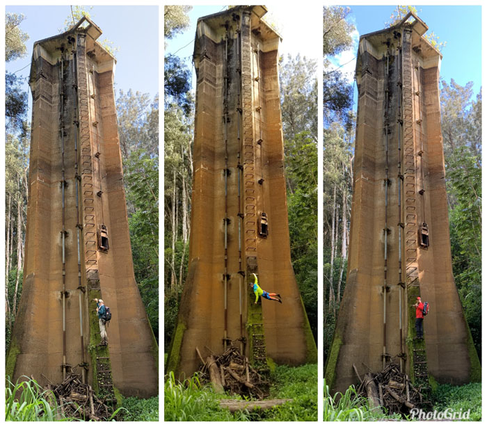
Our first glimpse of the 90′ plus tower that was built back in the 1920s. Photo by Cisco Quintanilla
Ferlino wishing he had his hammock for that perfect picture. Photo by Cisco Quintanilla
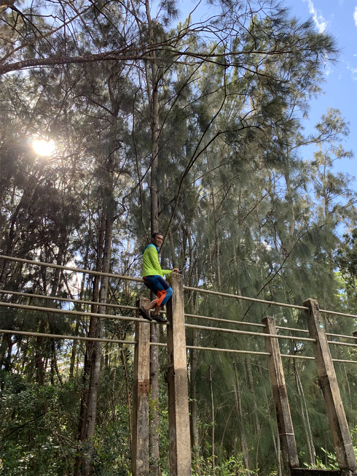
Somebody always has to be different in the crowd.
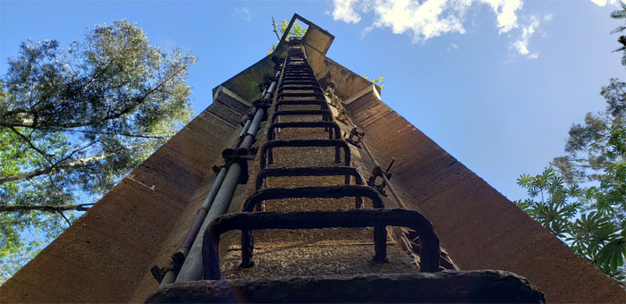
The metal rungs became progressively worse as it reached higher to the top.
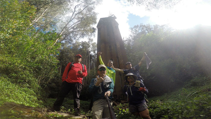
Group photo without Janell, as she decided to stay topside.
The carbonation was flat, but the taste was somewhat briny and gritty.
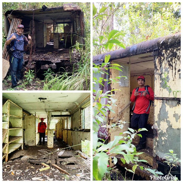
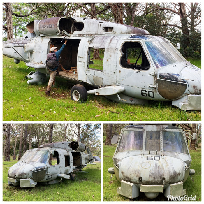
Reporting for duty. Call of duty or off duty? Photo by Cisco Quintanilla
I guess Uber is not picking us up on this road.
Just some bondo and duct tape and we can haul it away.
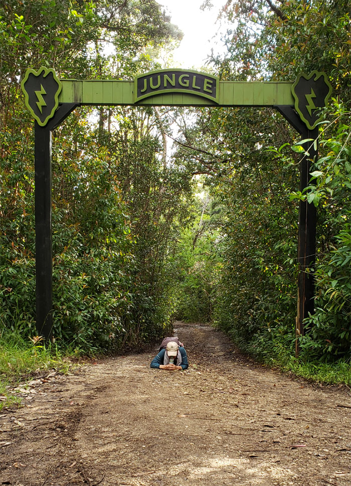
Low crawling through my flash backs or just trying to find that penny that I dropped. Photo by Janell Tuttle.
I wish I could fly.
One’s childhood is only finished when one say it’s finished. Our adventure filled day covered over 11 miles through rolling hills, tunnels, and some neat finds. Post hike meal at Dong Yang Inn, where’s it more of an instituition than a meal. Photo by Cisco Quintanilla.
Note: I have been made aware that some hikers have been using my blog as a hiking guide and getting lost on the trails. Please note that this blog was made to document the hike for the crew(s) that did it. That is why some of my comments will seem to have no relevance or meaning to anybody outside of the crew(s) that hiked that trail. My blog was never meant as a hiking guide, so please do not treat it as such. If you find inspiration and entertainment from these hikes, that is more than enough. If you plan on replicating these hikes, do so in the knowledge that you should do your own research accordingly as trail conditions, access, legalities and so forth are constantly in flux. What was current today is most likely yesterdays news. Please be prepared to accept any risks and responsibilities on your own as you should know your own limitations, experience and abilities before you even set foot on a trail, as even the “simplest” or “easiest” of trails can present potential pitfalls for even the most “experienced” hikers.



{ 6 comments… read them below or add one }
That’s an awesome hike and very fun day. Thank you all so much!
Aloha Ferlino,
Yup great day to be out and about with good company.
Mahalo
Aloha Kenji,
Lived in Wahiawa my whole life and never knew about Poamoho trail. How long was this hike?
Best regards,
Theresa
Aloha Theresa,
It took us basically the whole day, almost ten hours as we were just exploring and having fun. Best to go with somebody that knows the area as its very easy to lose your bearings.
Mahalo
Hi, I am really interested in hiking this trail and definitely observing the towers and the plane. Tomorrow is my last day in Oahu, any chance you cod drop the exact pins for them? Wouldnt want to miss it. Mahalo!
Aloha Chris,
Sorry, I just saw this as we came back from a hiking trip. Hope you did something.
Mahalo