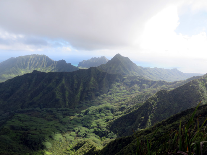
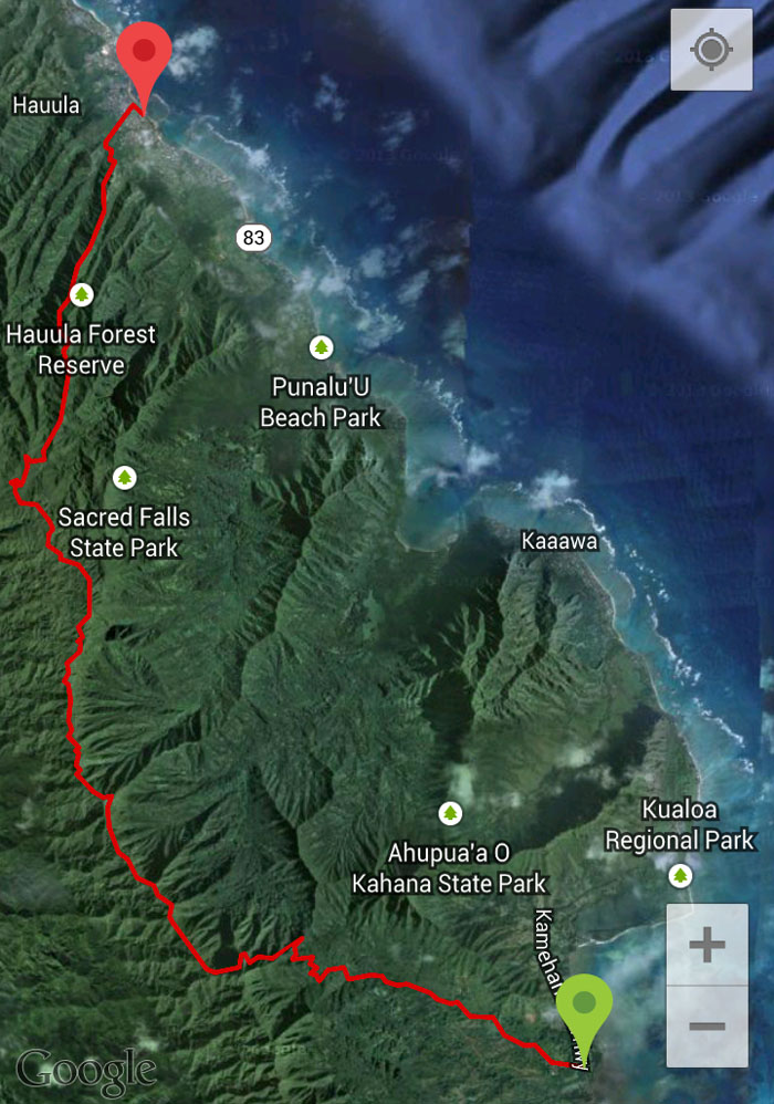
Marvin invited Jose, Thessa and myself to tackle a large chunk of the Northern KST (Koolau Summit Trail) stretching from Waikane Valley to Papali Trail, a grinder of a hike at over 16 miles. Who wouldn’t jump at such an opportunity?
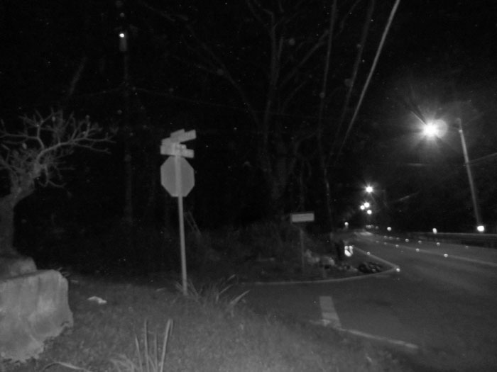
The group picked me up at Hau’ula Beach and we then parked on Kamehameha Highway nearby Waikane Valley Road. The report of large, loose dogs on the road was slightly exaggerated. They were large barking dogs, but all restrained by fences and chains. Rabies shot? Check.
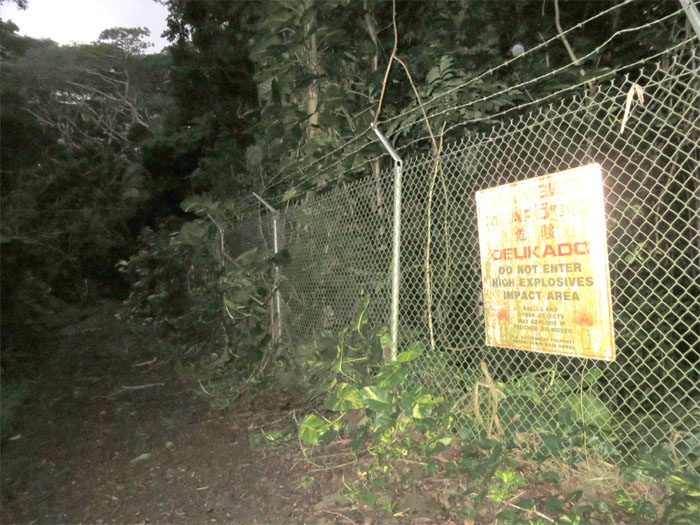
The fence into the valley was decorated with large weathered signs that stated high explosives impact area. On the other side of the fence, I hope.
As we headed deeper into the valley, rain showers paid us a visit. Not a surprise since we were on the Windward side.
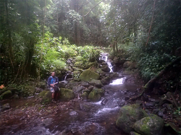
The only active stream crossing of the hike. Last time I was going to get my shoes wet. Fat chance.
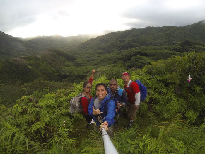
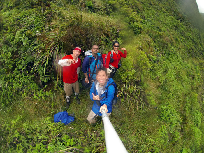
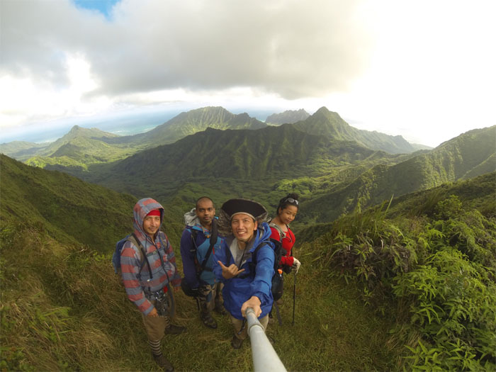
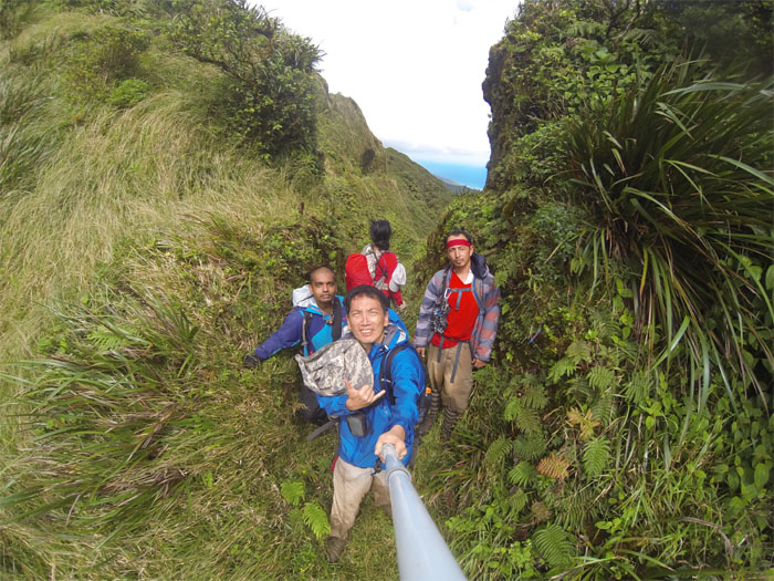
The rain had just left us to be replaced by some sorely needed sunshine. Group picture looking into Waikane Valley left to right: Thessa, myself, Marvin and Jose.
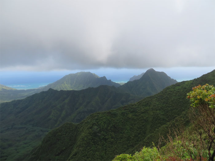
Checking out Pu’u Manamana, True Manamana and Pu’u Ohulehule in the valley below us.
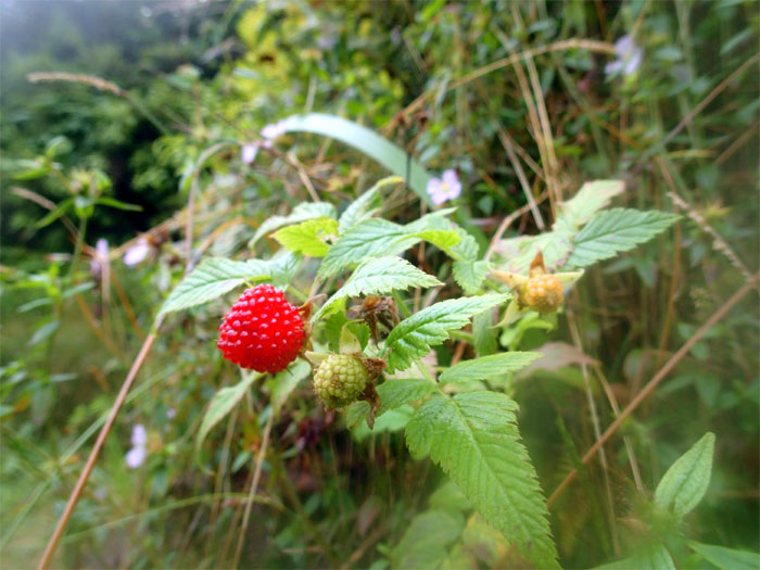
Thimbleberry plants lined the trail, most of them red and ripe, ready for picking and eating.
We arrived at the Waikane terminus to begin our hike on the KST (Koolau Summit Trail). Behind us was the Manana junction. Another grinder hike for another longer day.
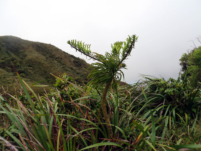
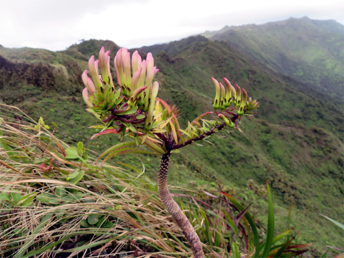
Further up the trail was the rare Lobelia gaudichaudii, endemic only to this island.
Hiking on the Northern KST seems worlds apart from the Southern KST. Maybe it’s just me.
Looking back at how much or how little ground we already covered. It’s all relative.
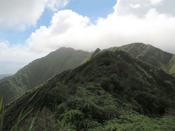
Breathtaking views of Pu’u Piei, Pu’u Manamana, Pu’u Ohulehule and the Kualoa mountains in Kahana Valley. The Windward winds were whipping today in full force.
Looking back at the Schofield junction. Hmm, maybe not another hike for another day.
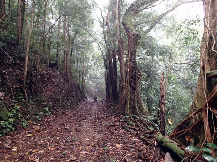
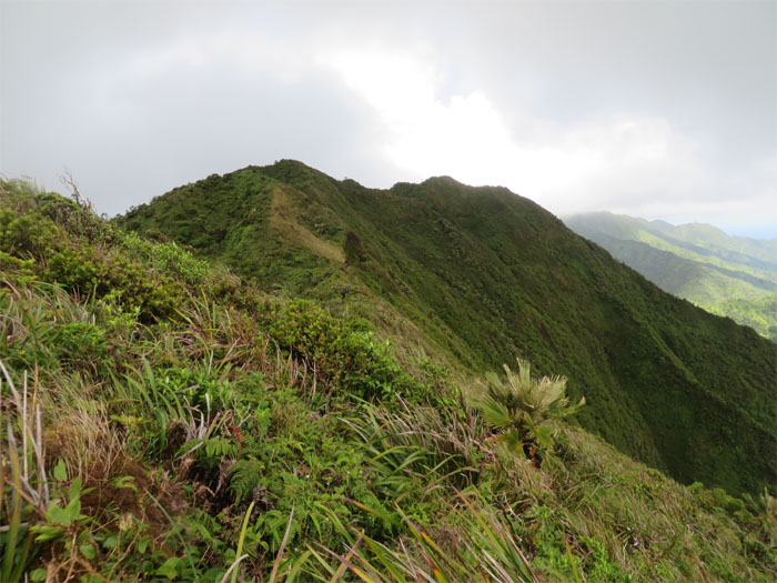
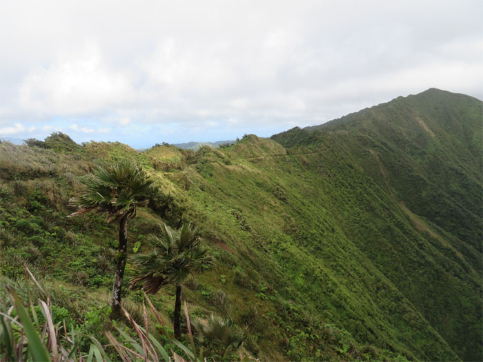
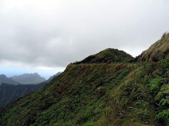
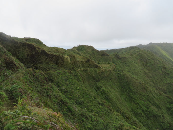
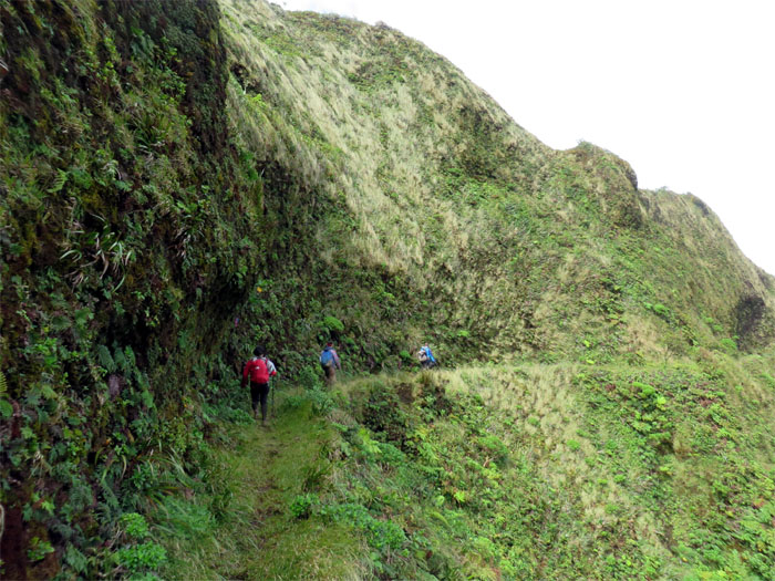
The Northern KST trail is for the most part a contour path that was cut into the side of the mountains.
Digging into the history bin, it seems that a crew from the Kahuku Plantation Company started the trail in 1906 and the work was continued by the Civilian Conservation Corp in 1934. That must have been some backbreaking work. Thank you!
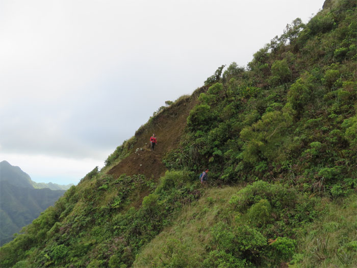
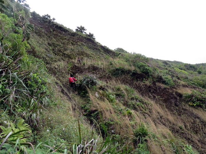
Jose and Thessa make their way over a small landslide area of the trail.
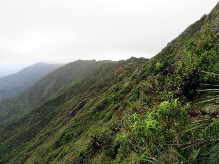
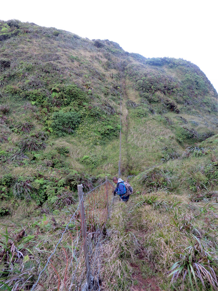
A much larger landslide took out this section of the KST trail.
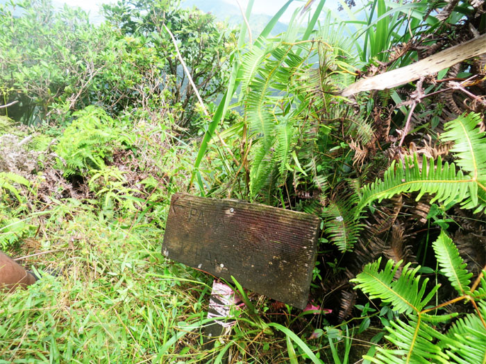
The Pauao Ridge Trail goes down into Kahana Valley. There used to be a troll doll attached to the top of the sign until somebody decided to take it home. Maybe I should’ve replaced it with my Kikaida doll?
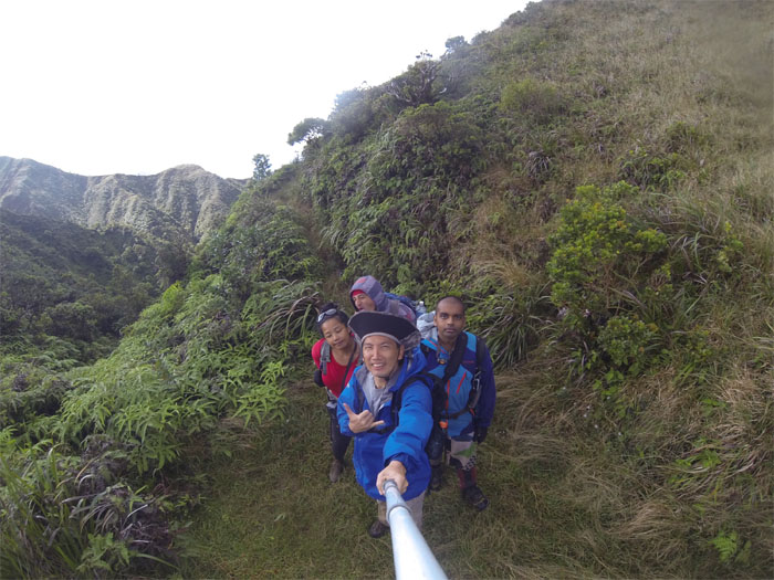
Hiking on the contour trail while enjoying the valley views made the distance more tolerable.
We encountered another Koolau range lobelia on the edge of the trail.
Marvin told us a historical anecdote regarding the trail, the crew had to use a huge amount of TNT to blast a hole through and the sides of the mountain to build the KST.
The trail had to be wide enough to accommodate pack mules that were used to transport supplies up the mountains back in the old days. Erosion and time has taken their toll, but the path still remains quite wide.
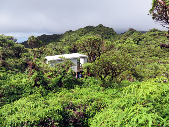
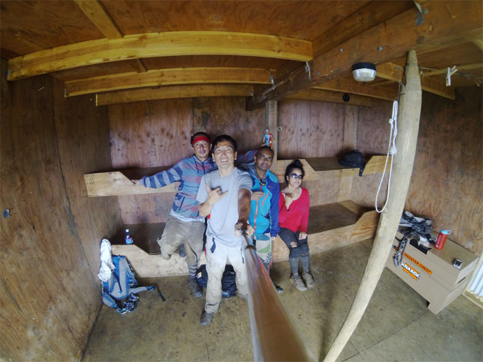
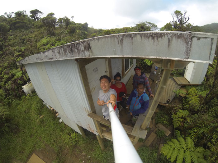
We soon arrived at Poamoho cabin. This would be the final stop for Jose and Thessa who had decided to overnight at the cabin. They would go down Pauao trail the next day.
The cabin provided a nice dry spot to take a load off our feet for awhile. Marvin re-filled his water from the cabin’s supply. One still needs to bring water purification tablets as the water is captured from the constant rain this area gets but is not filtered.
Everybody signed the famous Poamoho Cabin Log Book. If one is staying overnight, it makes for an interesting read, as there are pictures, comments and even short stories people have penned.
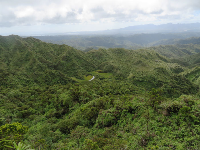
As we all made our way to the summit, Jose and Thessa said they were going to bushwhack their way down to the marshy pond area below the cabin, when they returned from seeing us off.
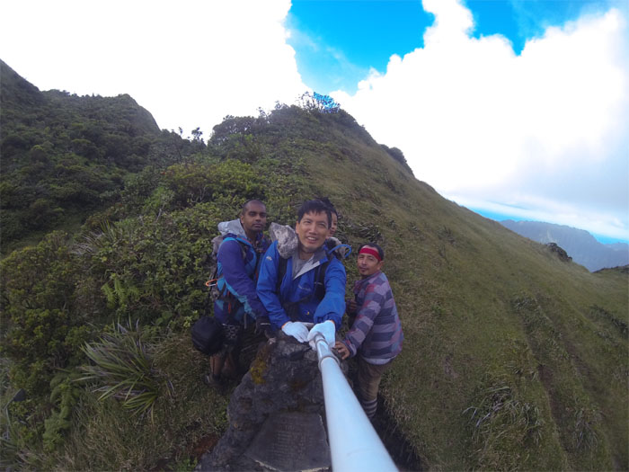
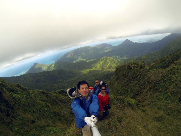
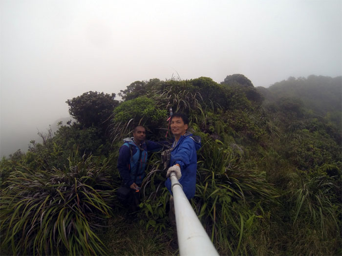
The wind was whipping so hard that I could barely hold my GoPro steady! The winds are fierce at Poamoho summit.
I finally had to use both hands to keep it steady. What a view!
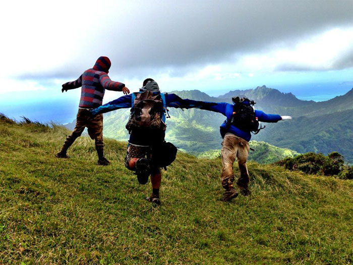
We tried jumping off, but the wind held us back. Photo by Thessa Bugay.
Looking back at Jose and Thessa waving at us from Poamoho summit.
I guess this beats slopping saliva on your finger and sticking it in the wind.
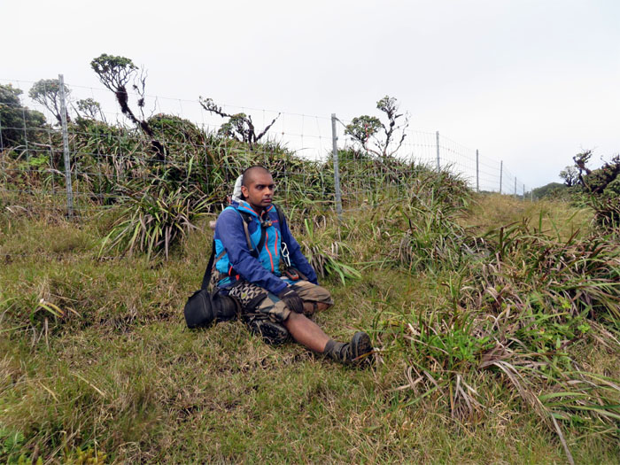
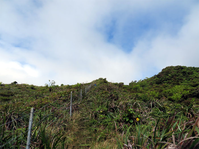
After climbing up a small hill, we soon encountered a familiar feature on the Northern KST. Miles and miles of fence line.
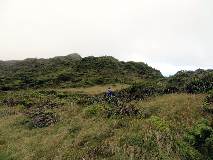
We kept to the Windward side as we hugged the fence line up and down the broad rolling hills.
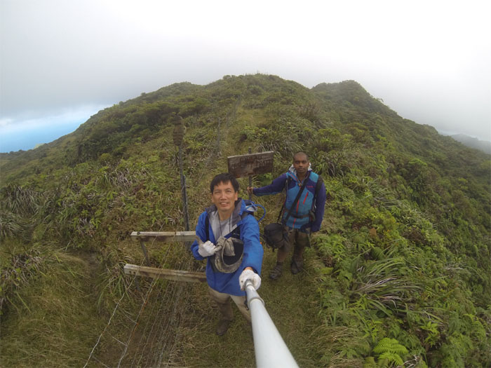
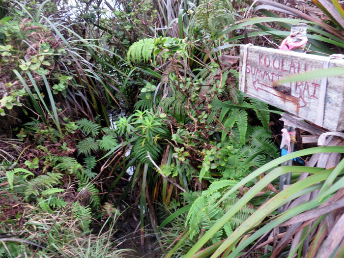
We soon crossed over the KST junction. Thank goodness for these signs. One can easily get lost up here.
Leaving the blighted fence line behind …
… or maybe not.
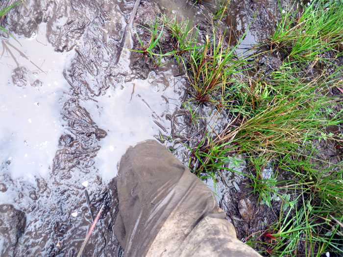
The muddiest part of the KST. Shoes down!
We took leave of the fence line for good as we turned right at this junction.
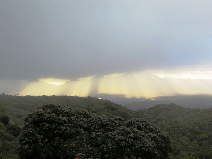
Looking to our left, sunbeams poking out of the heavy cloud banks over central Oahu.
Leaving the KST as the clouds rolled in and the sun started to leave our company.
Taking a break at the Castle junction that was to our right. We would be continuing on our left down the Papali Uka trail.
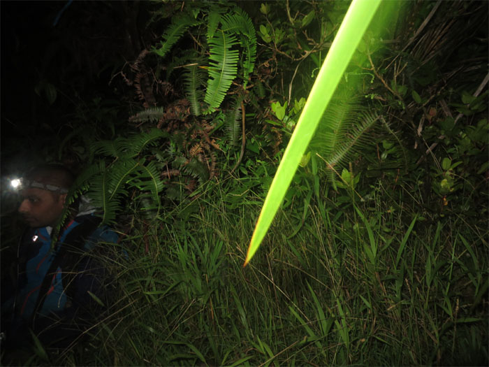
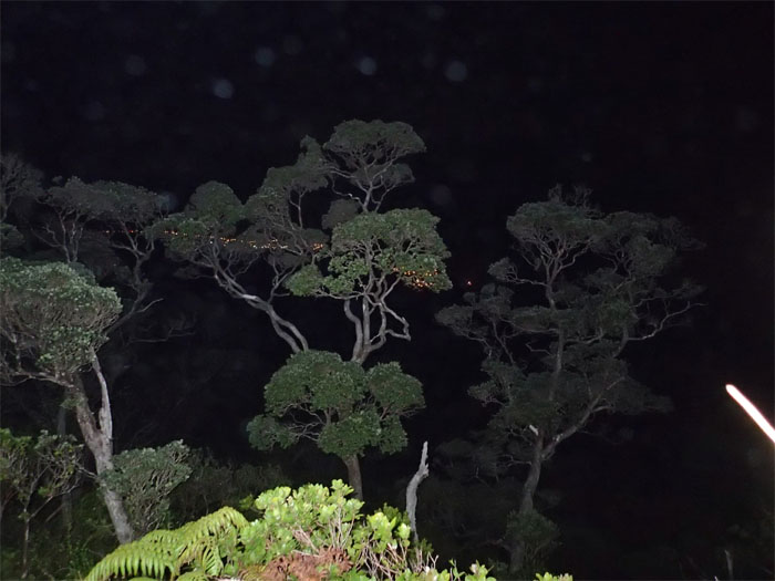
The trail was all downhill, with some small hills to climb. In the dark. Shortly after this picture was taken, combined with exhaustion and my Black Diamond headlamp dimming after only several hours (note to self: complain to the company), I took a false step and fell off the ridge. Cussing the whole time while tumbling down in the dark off a 2,000’+ ridge, vines arrested my fall about 40′ later. Upside down. I’ll take 40′ over 2,000′ any day. Marvin called out to me and asked if he should call rescue. After taking stock of everything and not feeling anything bleeding or broken, I yelled that rescue was not needed and if he had rope with him. No was the reply. Great was my reply. Hanging off the side of a severely eroded ridge with only vines and scrawny trees to grab on, I still managed to recover my headlamp and GoPro that had fallen out of my backpack. Must be my lucky day! With my GoPro clutched in one hand, I resumed my cussing and started making my way up to the ridgeline. When I finally reached the ridgeline, I was gassed out. Marvin helped pull me up and we resumed our hike down the trail. What else could go wrong? My headlamp soon died. Now I had no light and my right ankle was swollen from the fall. We moved at a snails pace going down the rest of the ridge with Marvin intermittently looking back with his light so I would not take another false step. We finally staggered into Hauula at 4am to find my car still where I left it. Best news of the day or night!
The grinder totaled 16.96 miles and at 22 hours (not planned due to my fall) was my longest hike to date. An experience that I have no wish to repeat, especially the falling part.

{ 4 comments… read them below or add one }
That got dark really fast. Thanks for the write up kenji.
Aloha Matt,
Thanks for visiting my blog. Yup, it got dark and the trail was long. Quite the adventure that day!
Mahalo
Don’t know if you’ve hiked waikane recently but a large landslide took out the trail about a quarter mile from the peak making it impossible to pass. Learned this the hard way last Sunday. Cheers, love your blog bro.
Aloha Tim,
No it has been quite a spell since I’ve been to Waikane. Thanks for the heads up. Hmm, impossible? Sounds like a challenging trail. Haha. Sounds like the bottom of Waiahole which is littered with landslides, while not impassable makes it tricky especially if it’s raining! Thanks for visiting!
Mahalo