
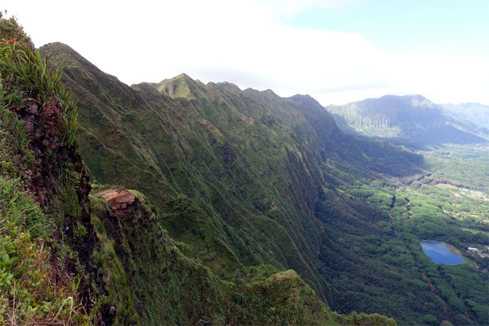
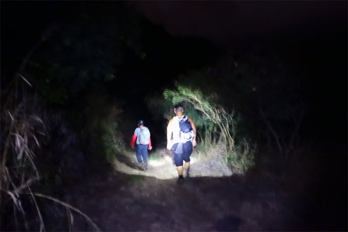
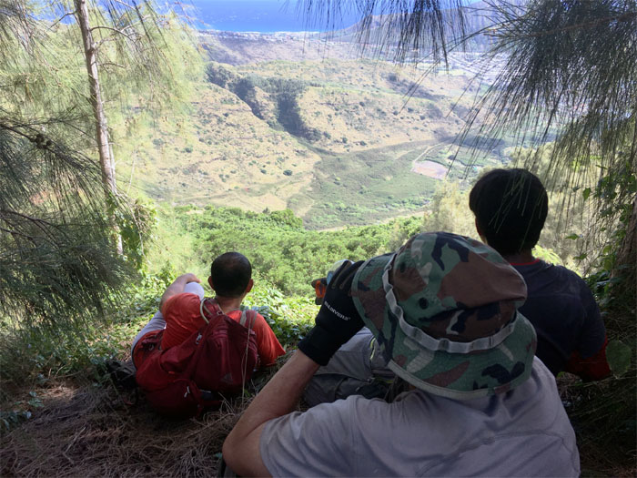
Chris, Jose, Justin and myself picked up from where we left off from last week. We all met up in the back of Wailupe Valley. Somebody was running late and somebody was never in the running.
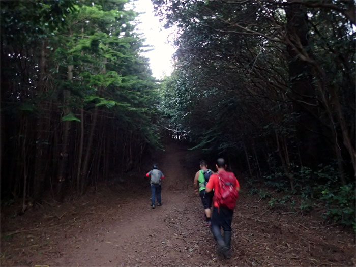
Trailhead
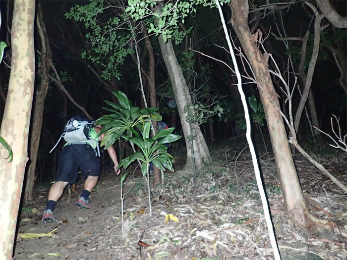
Our group took the valley shortcut as we didn’t want to wait until 8am when the Wiliwilinui Trail opens to the public.
Cardio hill
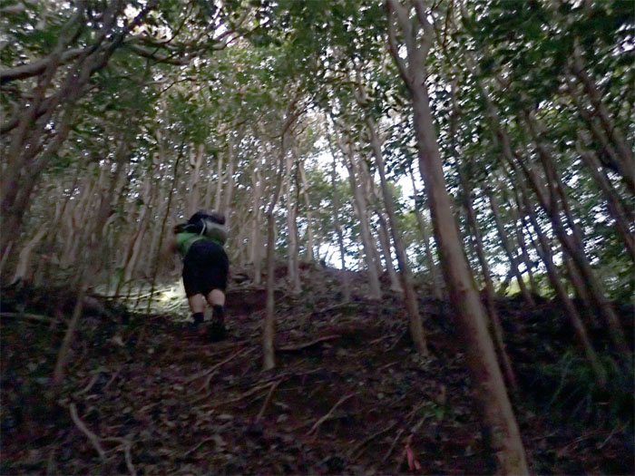
We soon left the valley floor to head up the spur ridge.
Cardiac hill
Huffing and puffing all the way to the top.
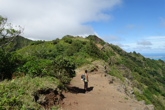
Wiliwilinui Ridge Trail
It was nice to be on the relatively flat jeep road. A mountain bike would have been even nicer.
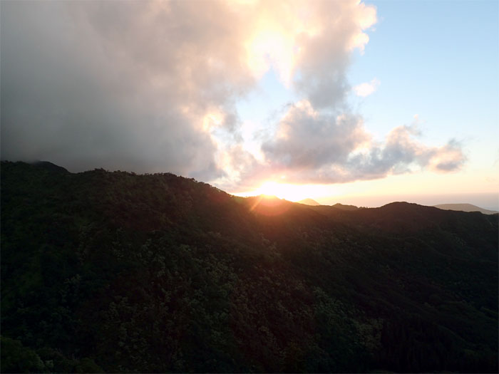
Sunrise
The sun being filtered by the ridges and trees.
Wiliwilinui Stairs and Swing
We left the jeep road behind to start the actual trail.
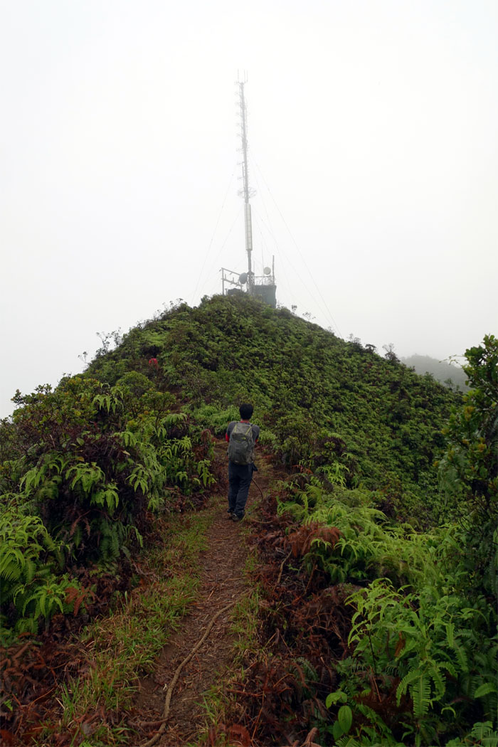
Relay station
Chris about to pass the tower on his way to the summit. The socked in summit.
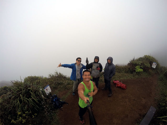
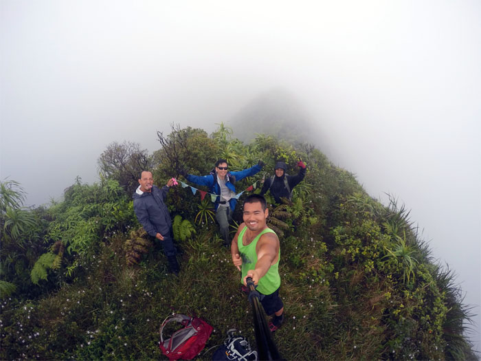
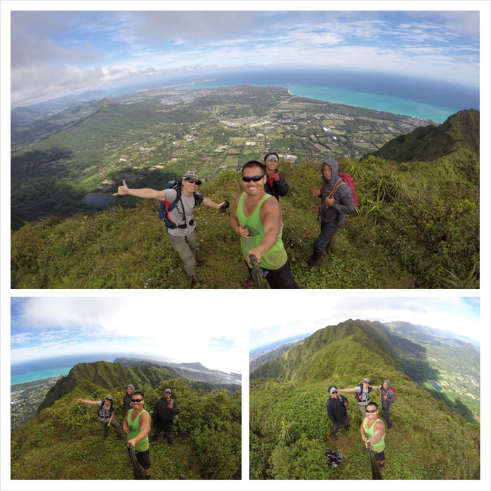
Wiliwilinui Summit
Group photo by Justin Hirako, left to right: myself, Justin, King Kamehameha, Chris and Jose.
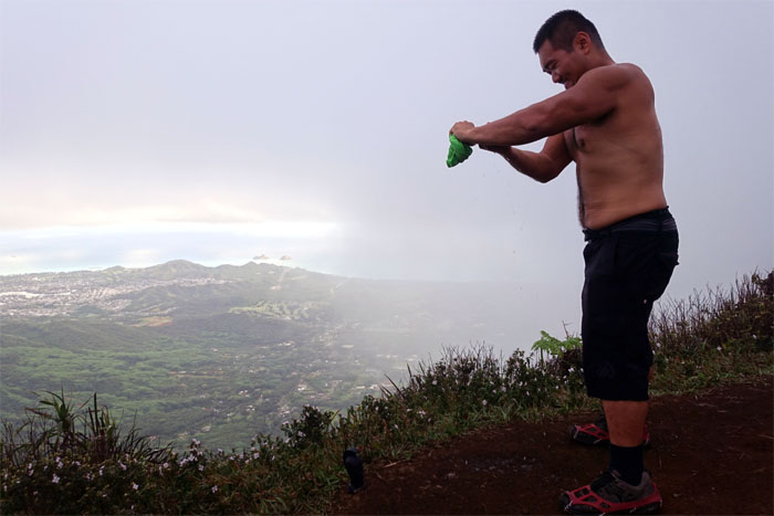
Sweat
Anybody thirsty? Steripen?
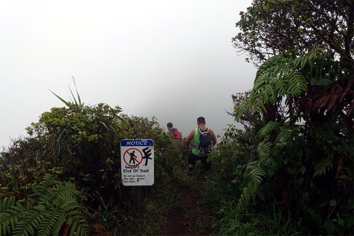
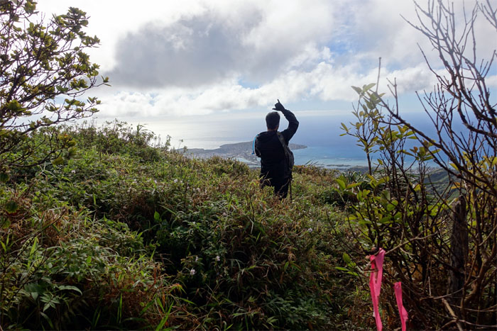
Leaving the summit
Do we follow the arrow or the words?
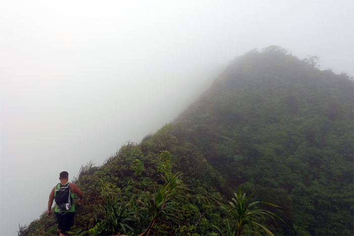
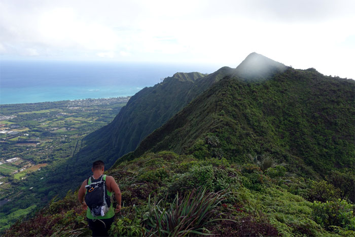
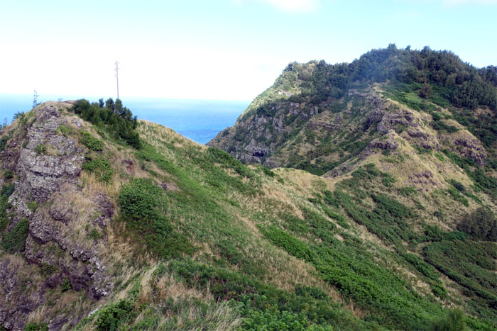
KSRT
Hiking in the clouds. Always a surreal experience.
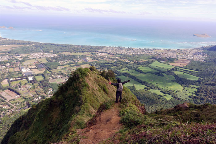
Wailupe Summit
The green wooden sign marking the summit was gone. Hopefully not scavenged by some souvenir seeking hiker. Group photo by Justin Hirako with the replacement fluttering prayer flags. Ring the bell.
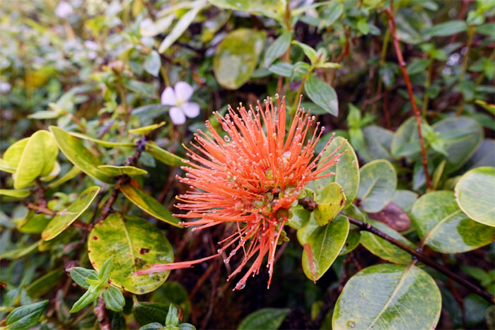
Ohia Lehua
An uncommon sighting of a dew dropped salmon lehua flower.

Flora
Toxic red flower buds of the hydrangea on the trail.
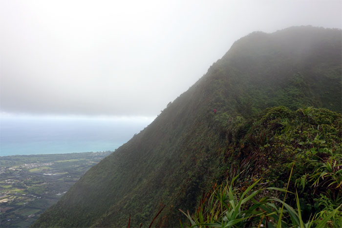
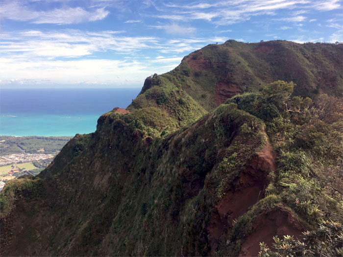
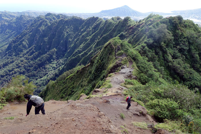
KSRT
Hiking on the edge.
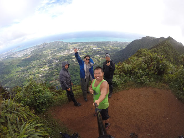
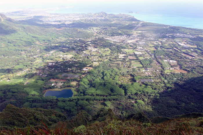
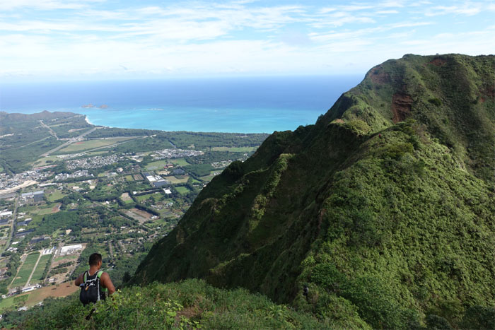
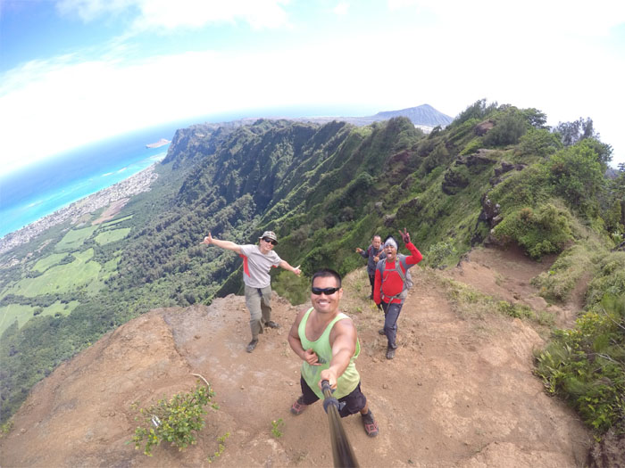
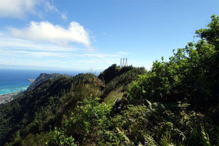
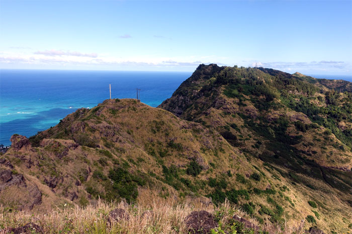
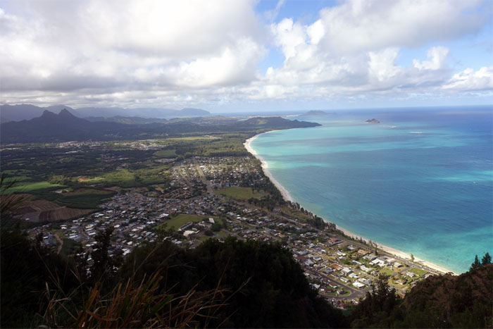
Hawaii Loa Summit
The clouds finally cleared when we reached the 2,520′ summit, affording us clear views of Waimanalo and beyond. Photo by Justin Hirako.
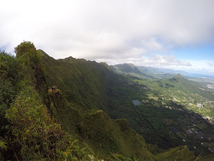
KSRT
Justin setting foot on the now clear Ko’olau Summit Ridge Trail.
Kulepeamoa Summit
Chris at the top of the “flapping chicken.”
Kulepeamoa Windward
Can you spot the palm tree?

KSRT
Justin pushing through as the trail became a tad more overgrown on our way to Puu O Kona.
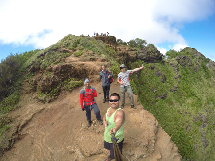
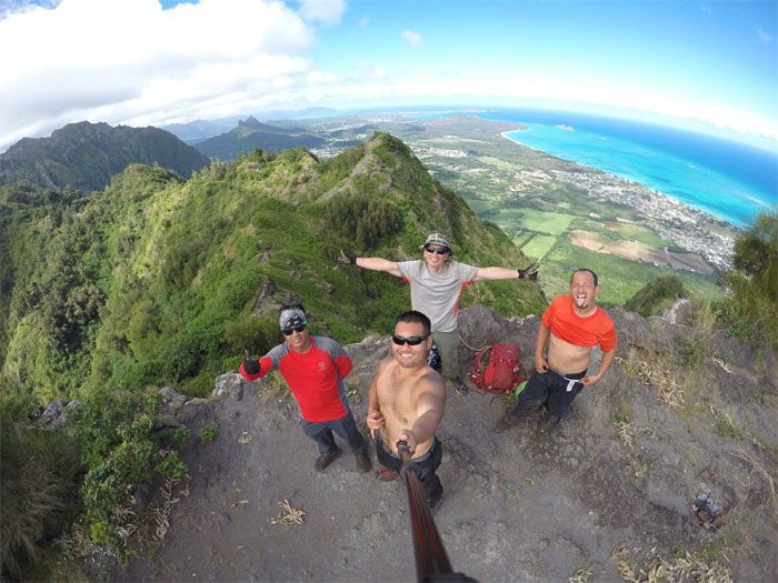
Puu O Kona Summit
Group photos at the 2,200′ summit by Justin Hirako.
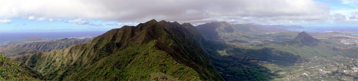
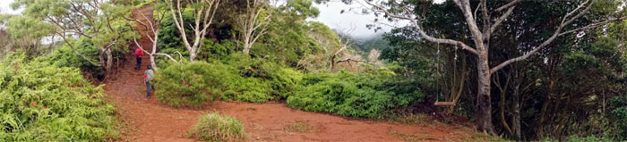
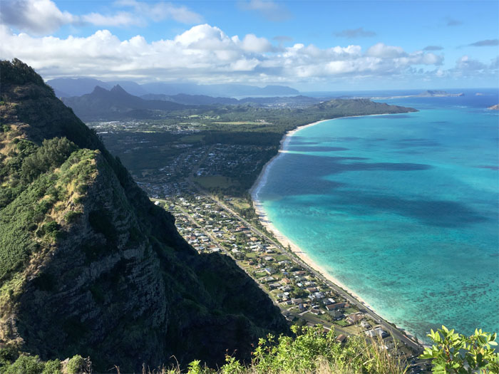
Panoramic view
Click here for the larger image.
KSRT
Justin leaving the summit behind as we made our way to Kuli’ou’ou.
KSRT
Approaching the eroded section of the trail. Photo by Justin Hirako.
Camping spot
The winds were not blowing hard in the mountains today, otherwise this picture would have been lost with the GoPro. Photo by Justin Hirako.
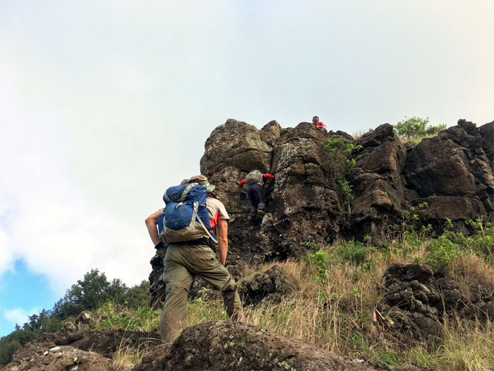
Bear Claw Junction
Right or left?

KSRT
We passed several hikers on their way to Puu O Kona.
KSRT
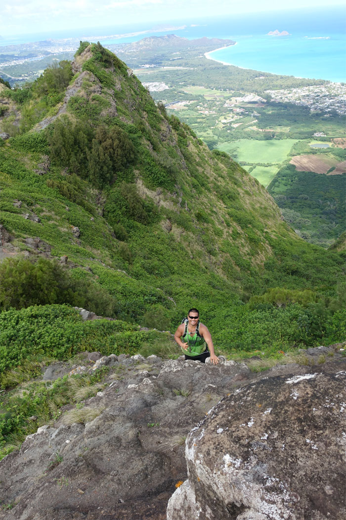
Jose and Chris sliding their way down to the summit of Kuli’ou’ou.
Kuli’ou’ou Summit
A spot less crowded. Photo by Justin Hirako
Kuli’ou’ou Summit
Halfway there. Photo by Justin Hirako.
KSRT
Justin looking back at the crowded summit.
Hahaione Junction
We passed the junction that would take one down the ridge of discarded furniture and paintballers valley.
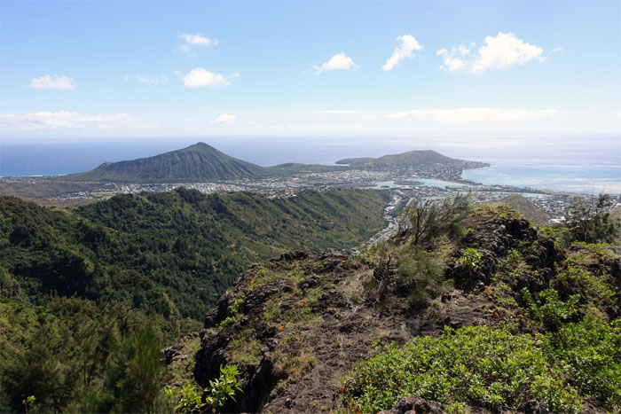
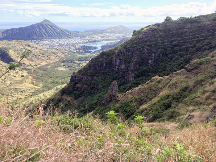
Detour
Looking out at Koko Crater and Koko Head.
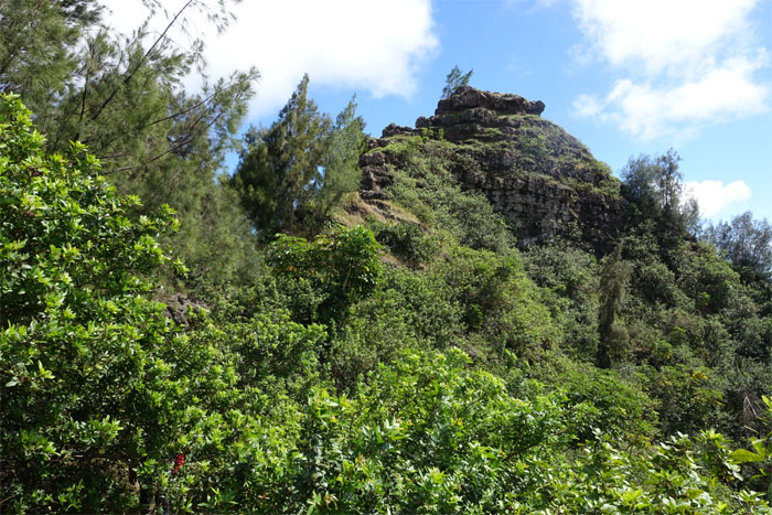
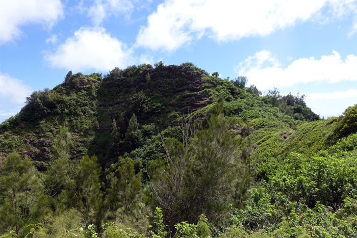
Pyramid
We decided not to visit the top and contoured the trail around the pyramid.
Mariner’s Ridge
The trail to the summit was closed by Kamehameha Schools back in 2013. The only way to visit the summit now is through HTMC, Sierra Club or do cross over hikes from other summits on the KSRT.
KSRT
Justin making his way to the top.
Mariner’s Summit
The once bustling summit was eerily empty except for two hikers passing by on their way to Kuli’ouo’ou. Photo by Justin Hirako.
KSRT
Justin plunging into the pine trees as we left the summit.
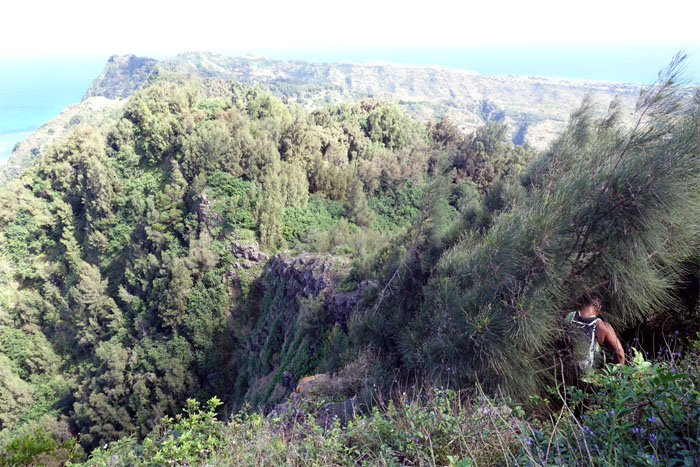
Kamilo Iki Valley
Looking into the last valley on East Oahu not touched by development. That may soon change as increased rents may push the existing farmers out, paving the way for developers to get their shovels into the ground. Photo by Justin Hirako.
KSRT
The trail became less green and more rocky as we made our way to the Tom-Tom trail.
Bells Tower
We passed the rock structure also known as Dorito’s Tower, named after the hiker that was first documented to have climbed it. Photo by Justin Hirako.
Tom Tom Trail
Looking at the spur ridge that descends deep down into Waimanalo country.
KSRT
We left the Tom-Tom trail to continue on the roller coasting ridge.
Caveman Proving Grounds
When do we get our certificates? Photo by Justin Hirako.
Kamiloiki Summit
Just passing by. No time for breaks.

KSRT
Going down into the saddle. Photo by Justin Hirako
KSRT
Looking back into Waimanalo. Photo by Justin Hirako.
KSRT
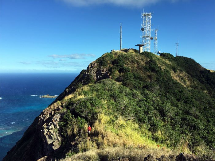
Approaching the old Nike-Hercules missile site and communication towers. Photo by Justin Hirako.
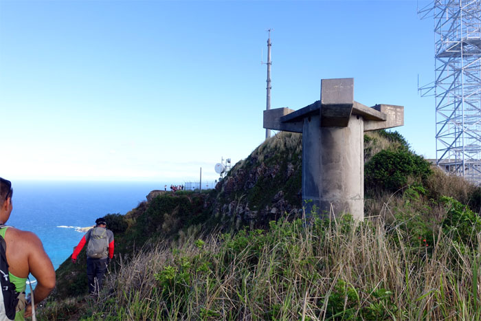
KSRT
We were about to crash the IG party.
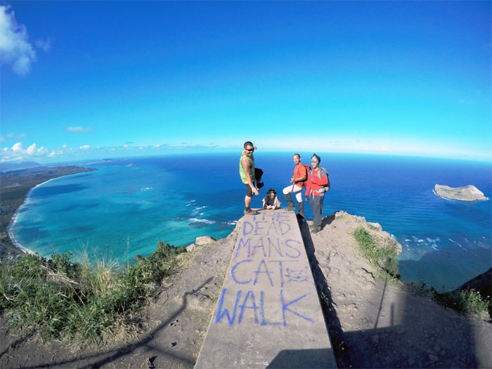
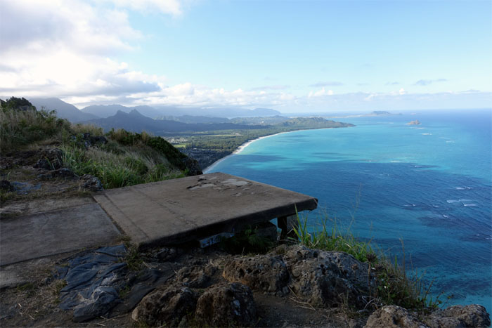
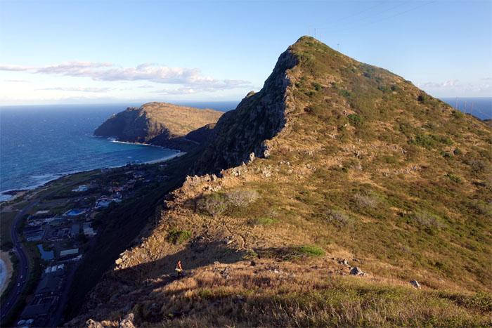
The Dead Mans Cat Walk
Soon to be destroyed by its own fame. Photo by Justin Hirako.
Hang Gliders Platform #1
Have wind, will fly.
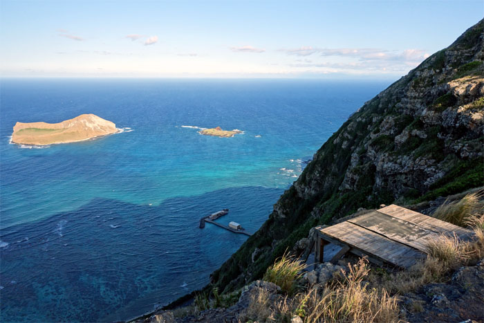
Hang Gliders Platform #2
Looking down at the bird sanctuary islands and the UH Makai Pier.
KSRT
Making our way down the rocky ridge to the puka.
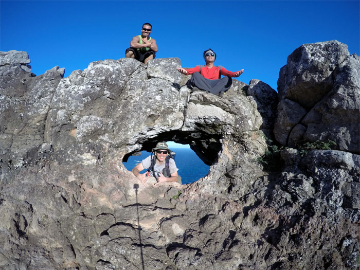
Makapuu Puka
Hey, we’re missing somebody! Photo by Justin Hirako.
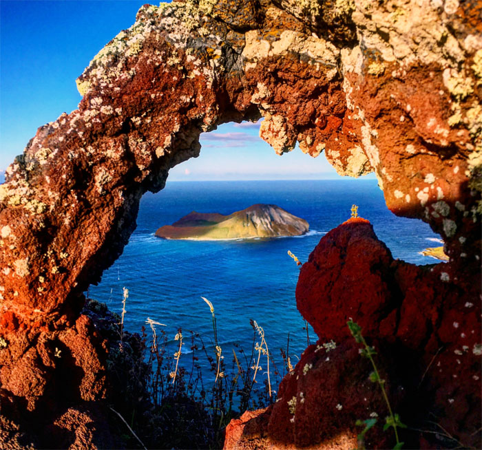
Mini Makapuu Puka
Justin found another smaller puka on our way up the ridge. Photo by Justin Hirako
KSRT
Almost there.
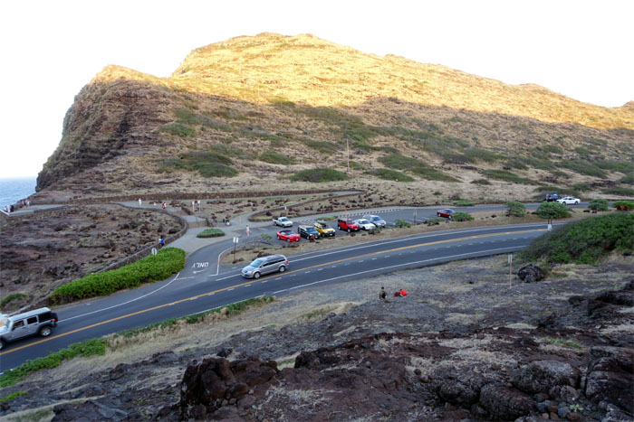
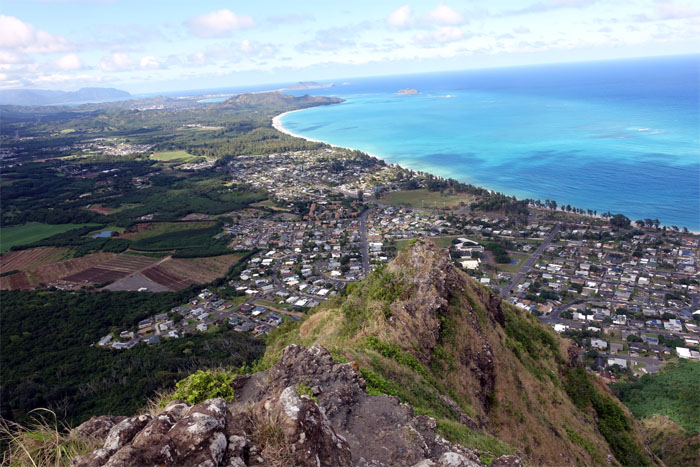
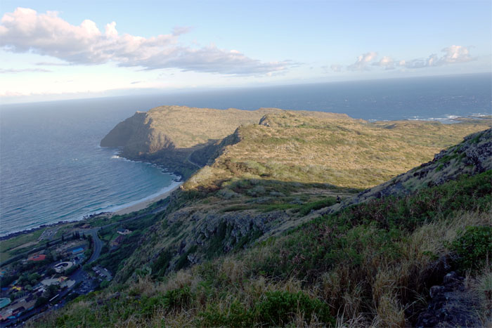
Makapuu Lookout
Why did the hikers cross the road? To visit the lighthouse. Not today.
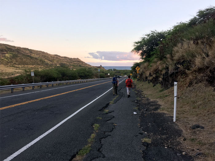
All pau
We still had to walk a good stretch of the road to get back to Justin’s truck that we had staged earlier in the day. Photo by Justin Hirako.
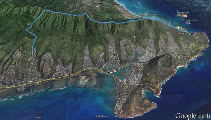
GPS Tracks
Our trek to the end of the Southern Ko’olaus covered 11.08 miles. Post hike meal at Outback. Being mistaken for homeless resulted in appetizers on the house.
Note: I have been made aware the some hikers have been using my blog as a hiking guide and getting lost on the trails. Please note that this blog was made to document the hike for the crew(s) that did it. That is why some of my comments will seem to have no relevance or meaning to anybody outside of the crew(s) that hiked that trail. My blog was never meant as a hiking guide, so please do not treat it as such. If you find inspiration and entertainment from these hikes, that is more than enough. If you plan on replicating these hikes, do so in the knowledge that you should do your own research accordingly as trail conditions, access, legalities and so forth are constantly in flux. What was current today is most likely yesterdays news. Please be prepared to accept any risks and responsibilities on your own as you should know your own limitations, experience and abilities before you even set foot on a trail, as even the “simplest” or “easiest” of trails can present potential pitfalls for even the most “experienced” hikers. Mahalo.
{ 3 comments… read them below or add one }
“Being mistaken for homeless” Hahahaha those appetizers were were well-appreciated after our long hike.
Yes, you should have ordered more! They were on the house!
Guarantee! No need bring my Chef Boyardee! Haha