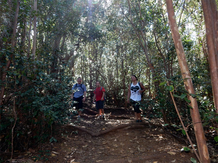
A friend had asked me to take him and his cousin on an easy hike. That is why I found myself at Keaiwa Heiau State Park with Glenn, Jose and Thessa. However, my friend failed to show up. Oh well, let’s hike.
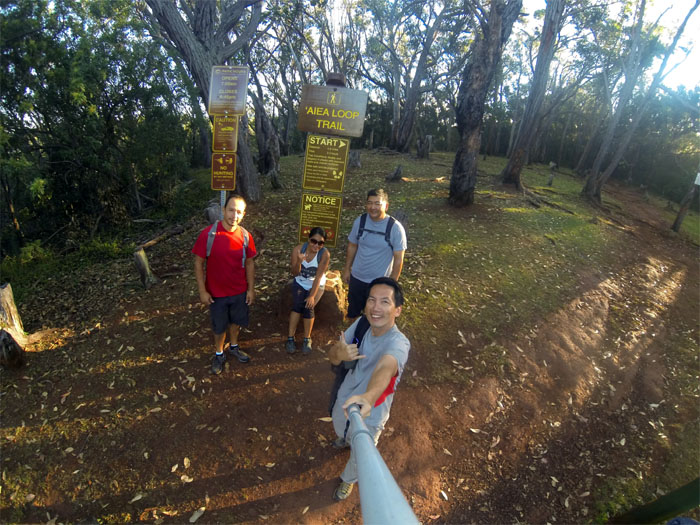
Group photo at the trailhead: Jose, Thessa, Glenn and myself.
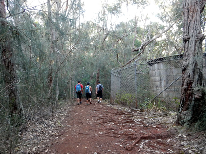
Passing the water tank, that was surprisingly untouched by graffiti.
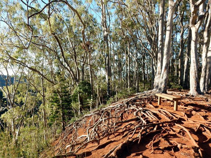
Exposed tree roots are part of the trail, the side of this hill was no exception.
Roughly ten minutes later, we headed down a side trail to our left.
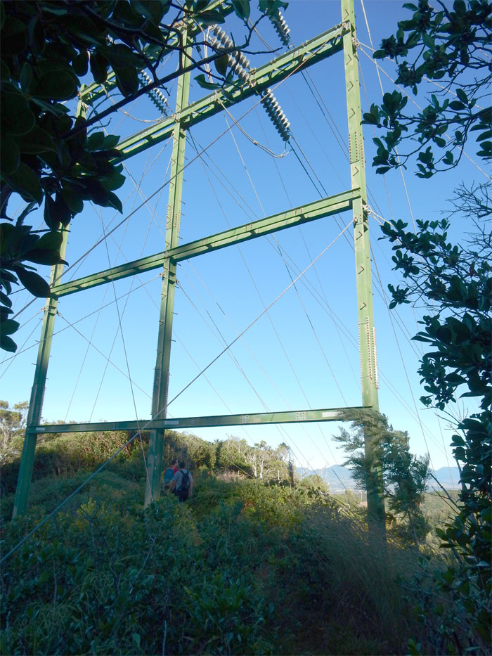
Jose and Glenn passing underneath the powerlines. High voltage.
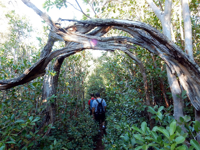
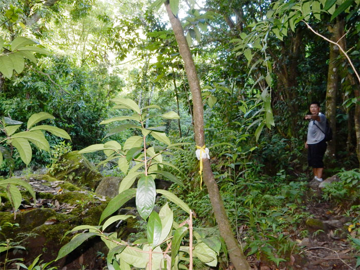
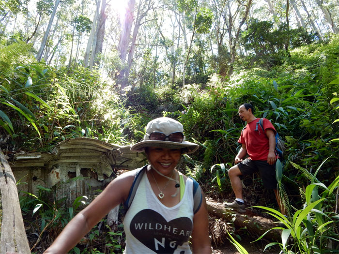
This tree “doorway” was marked with purple coloring.
I had read that many hikers miss the critical junction that is marked by a mango tree, to turn down to Kalauao Valley. We would be no exception. Sort of.
Mango tree. Check. Trail. Check. Let’s go. The actual junction was just a stone’s throw away by another mango tree further down the trail. We would find that out coming back up.
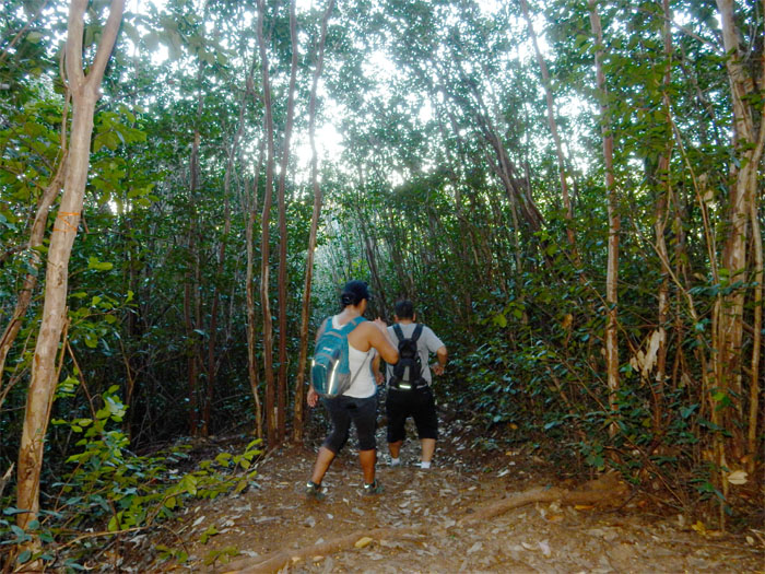
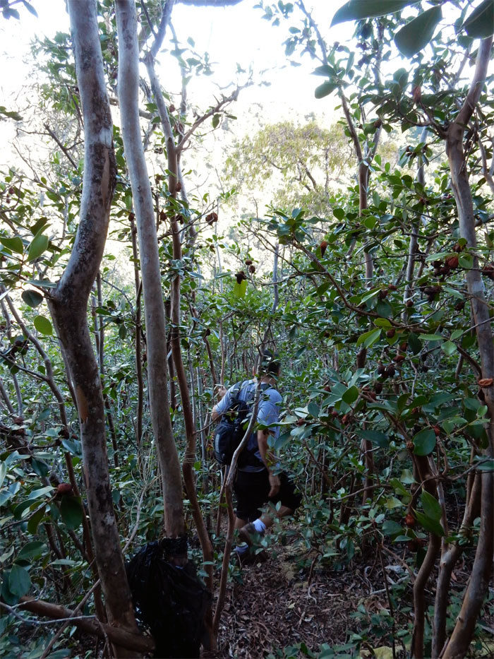
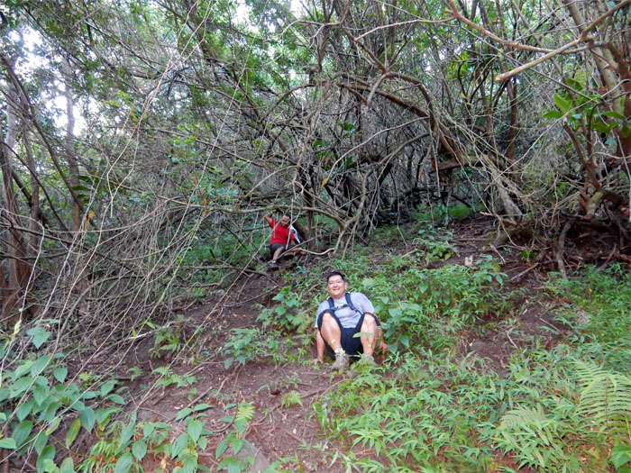
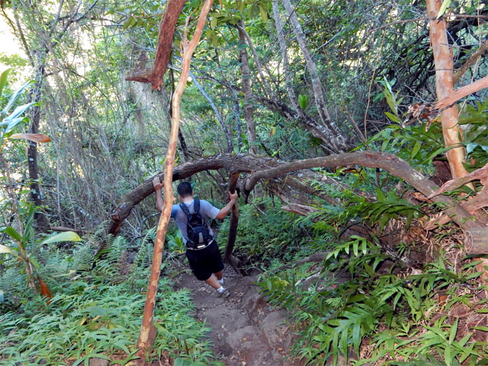
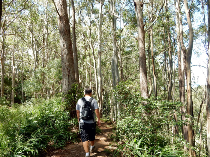
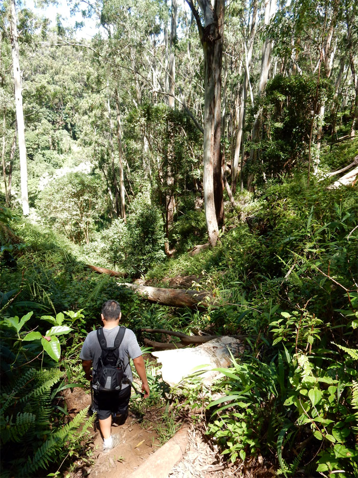
The “trail” soon petered out to be replaced by bushwhacking down a steep hill through heavy vegetation and trees.
Eventually we connected with the obvious trail.
The trail lead us down to the valley floor, where we made a mental note of the junction so as not to miss it.
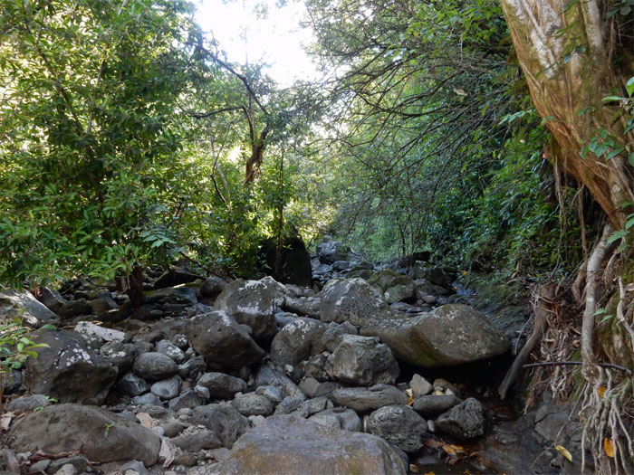
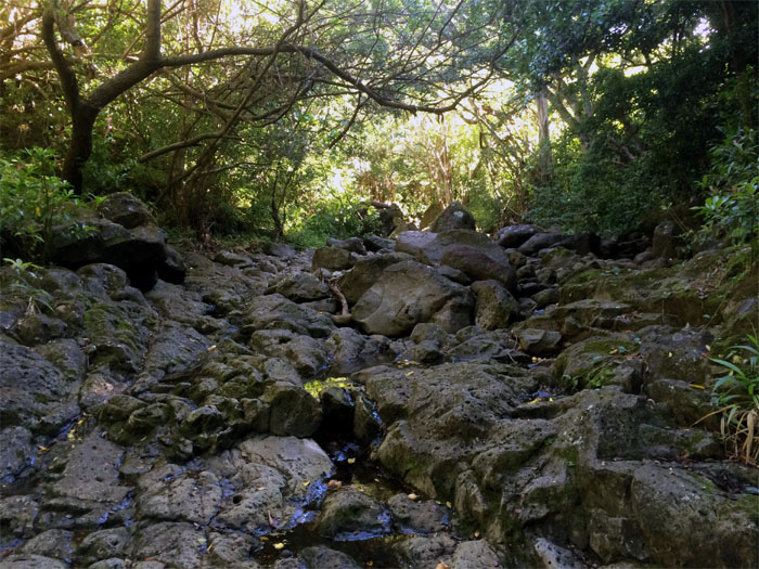
The dry streambed was a good indicator that the waterfall would not be flowing. At least we wouldn’t be slipping and sliding on wet rocks.
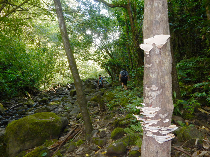
White tree fungi. I read somewhere that fungal fruiting structures will eventually result in structural weakening of the tree. Did not know that.
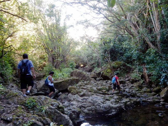
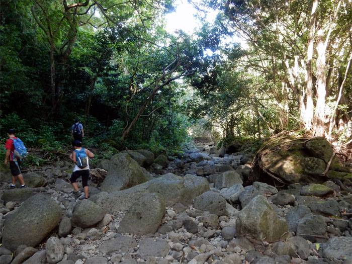
We crossed the dry streambed about eight times before arriving at the waterfall.
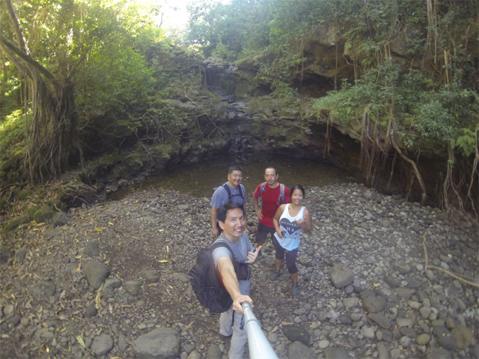
Group photo at the trickling Kalauao Falls. Have to come after a heavy rainfall to see the falls as they should be seen.
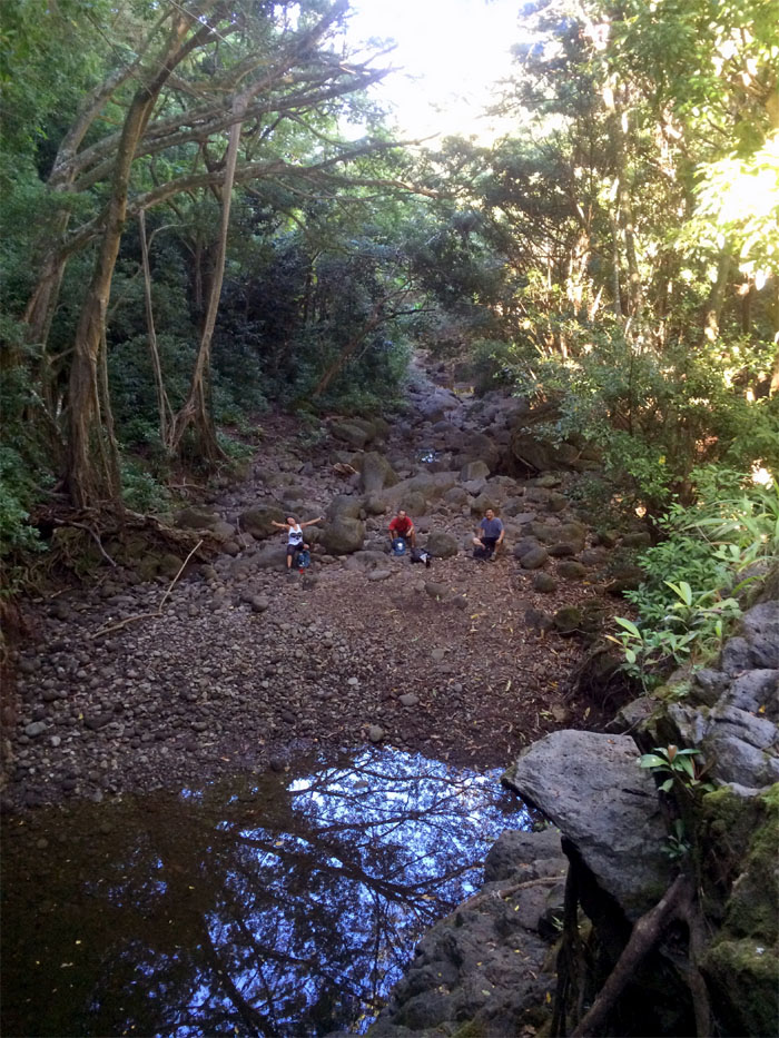
Looking down at the group, wondering who turned off the water?
I heard other hikers have followed this stream further up and bushwhacked their way back to the loop trail.
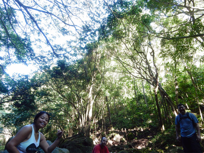
Taking a break under the lush tree canopy.
No raging waterfall. No show for us today.
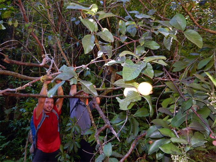
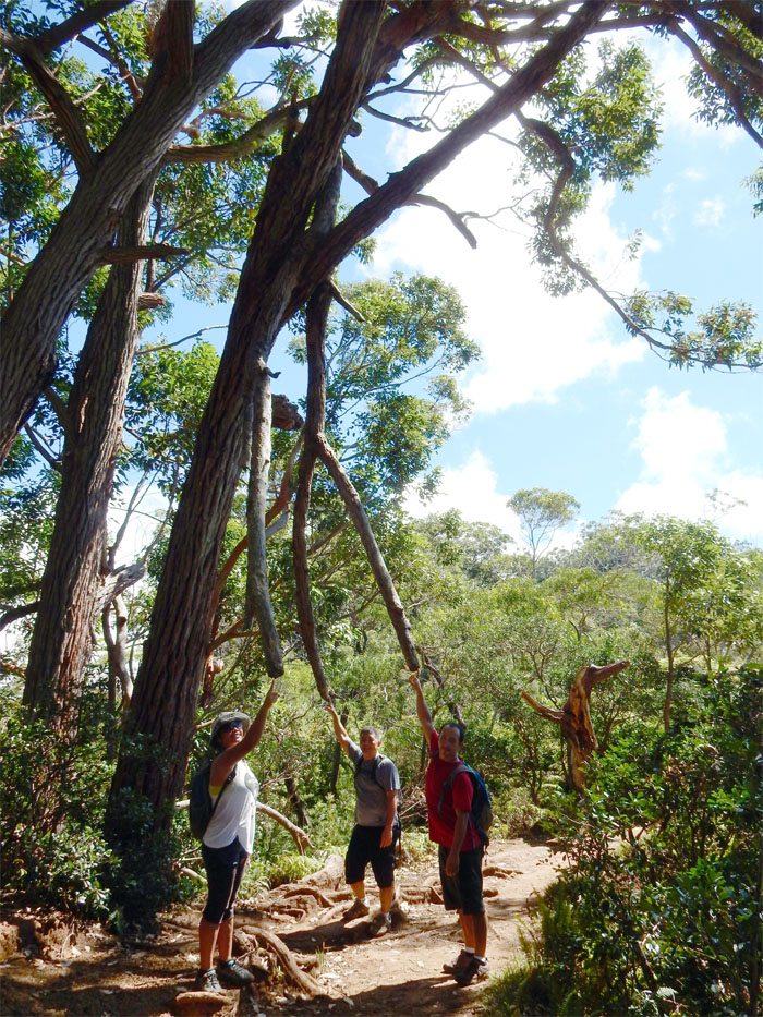
On the way back along the streambed, ripe guavas were hanging high on trees. Jose and Glenn bowed the trees down so that Thessa and I could pick some.
The group back on the loop trail. Now let’s go search for the plane! In 1944, a B-24J Liberator Bomber took off from Hickam Field and crashed into Pu’u Uau. There are some confusion as to the type of plane that crashed, some say it was a Japanese Zero fighter and others a C-47 cargo plane. The memorial plaque at the beginning of the loop trail clearly states what type of plane crashed. End of discussion.
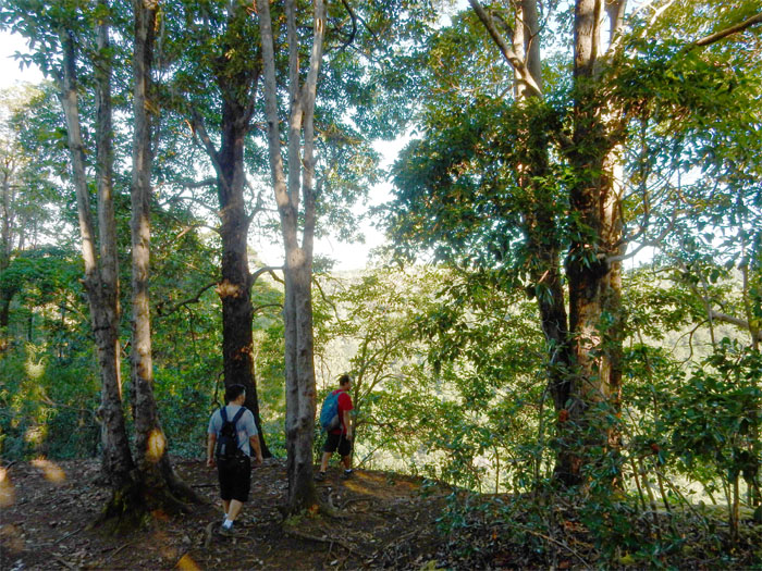
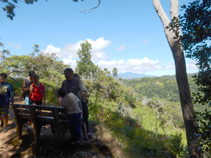
The loop trail seems to be a favorite amongst families and dog owners. One of the few views on the trail of the Waianae Mountains.
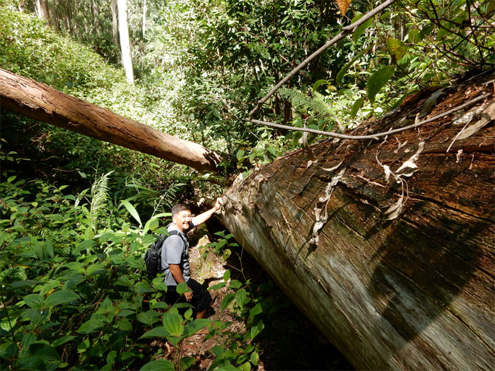
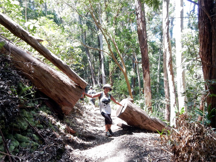
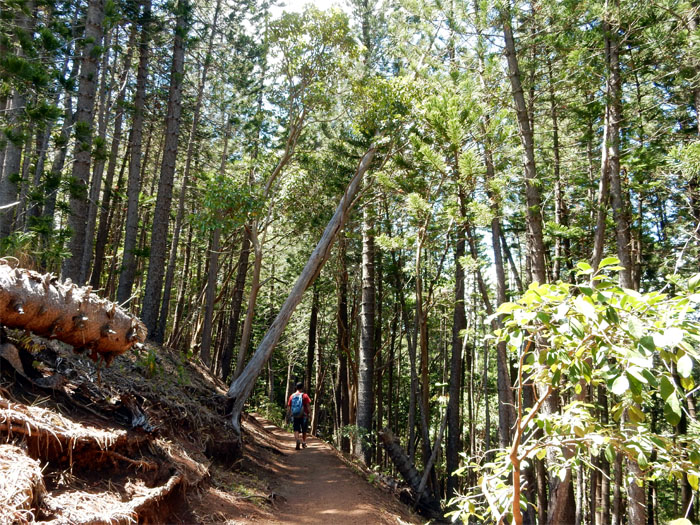
This trail has got to have the most fallen trees and branches I have run across.
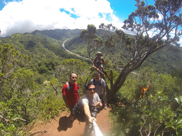
Group photo with the H-3 freeway snaking through Halawa Valley.
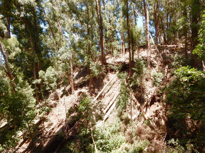
We passed a friendly guy that was greeting hikers as if he were the unofficial docent of Aiea Loop Trail. He told us that a major landslide a few years back had pushed the plane wreckage to the bottom of the gulch and was inaccessible and that scavengers had packed out most of the aluminum pieces from the plane when metal prices were climbing. What a shame.
Roughly two-thirds going into the trail, we rounded a bend and noticed other hikers coming up from the bottom. The plane! The plane! At one time, part of the wing rested against a tree on the trail. A landslide took care of that.
Jose and Thessa passing the wing. Guess it was too big for the scavengers to carry off.
Glenn following the fallen tree down.
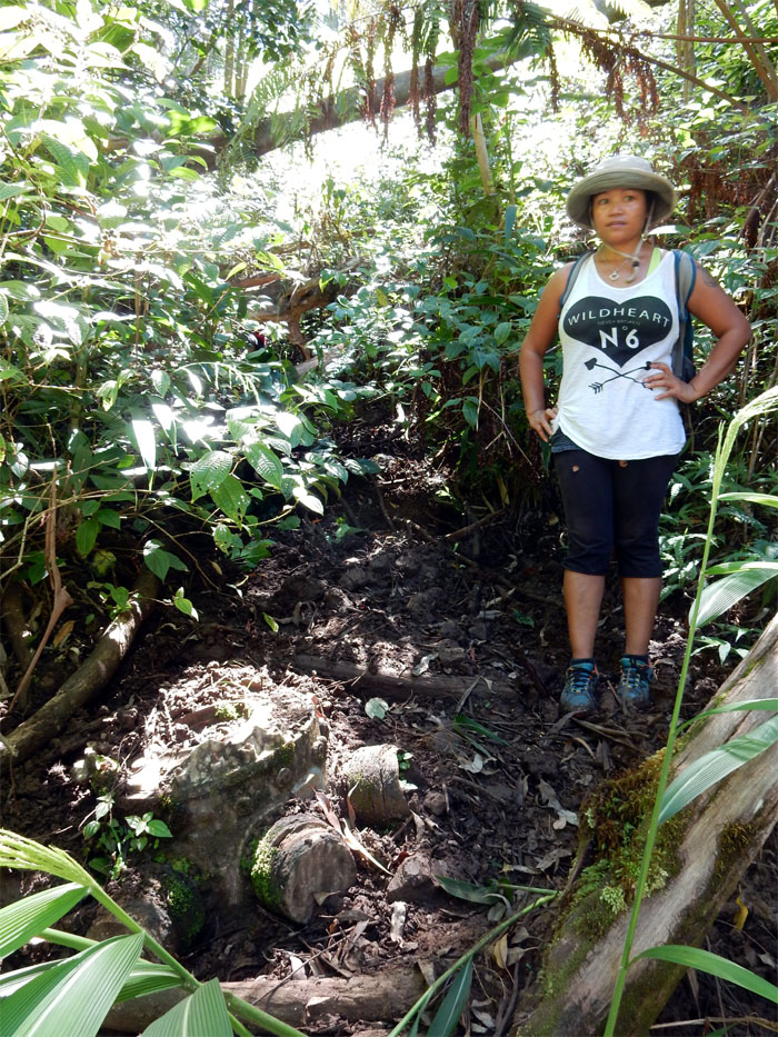
Thessa standing next to part of the plane’s engine.
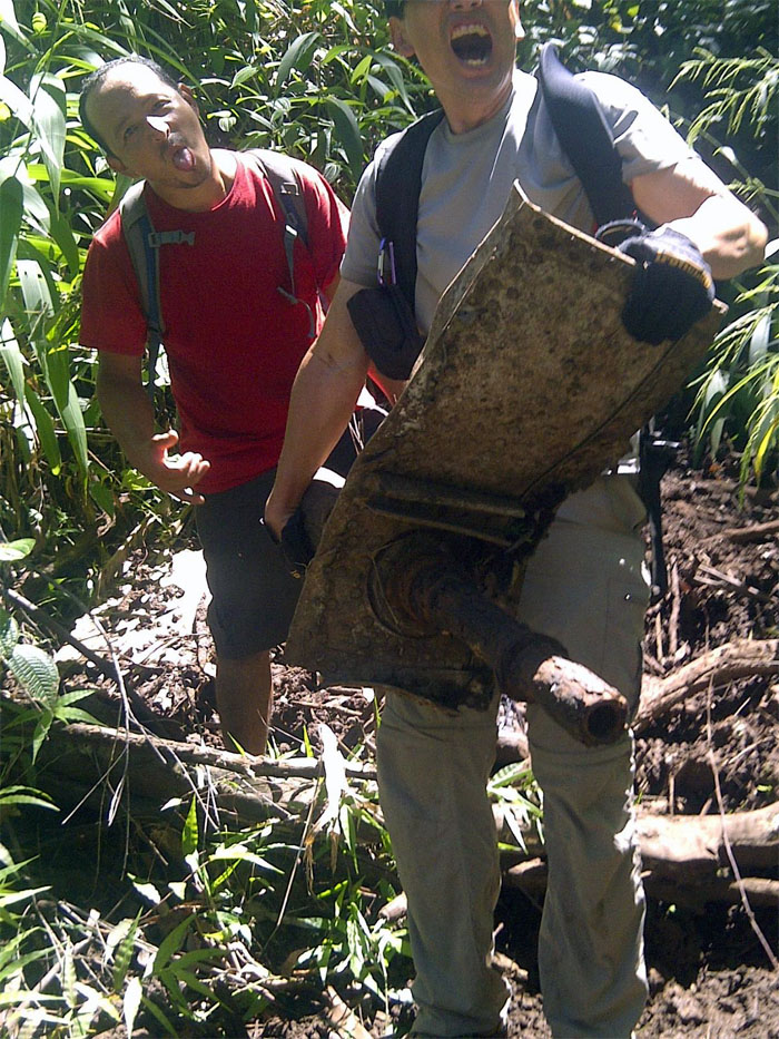
An unidentified hiker holding part of the plane’s wreckage. If you want photos that are off center or not fully framed. Please contact Glenn for a free consultation. Photo by Glenn Toyama.
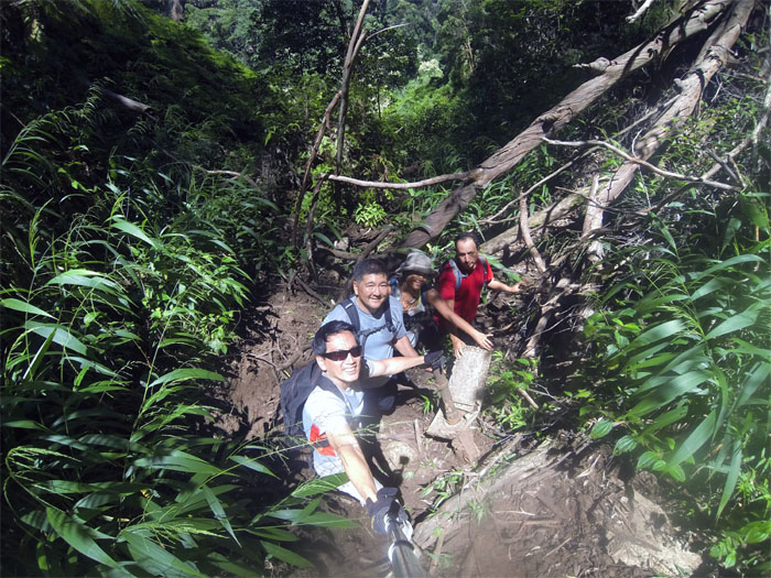
Group photo with part of the plane wreckage. The plane wreckage parts seemed to thin out at this point, so we decided against following the trail down.
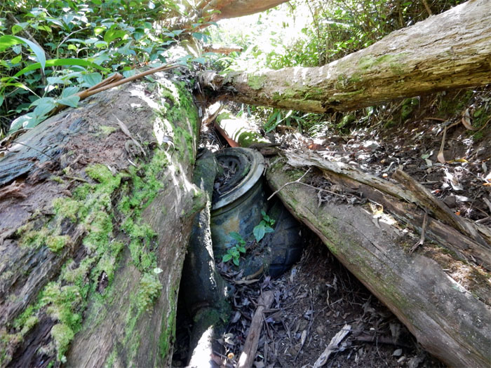
Going back up, we noticed the plane’s tire rim half covered by the tree, that we had overlooked coming down.
One of many trees on the trail that were cut to allow hikers to walk on the trail.
More fallen trees.
Maybe they should cut this one down, before it falls. On somebody.
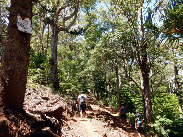
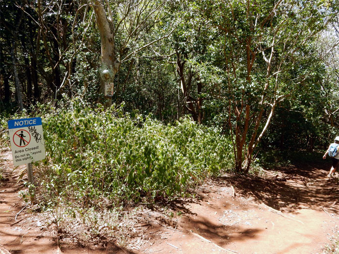
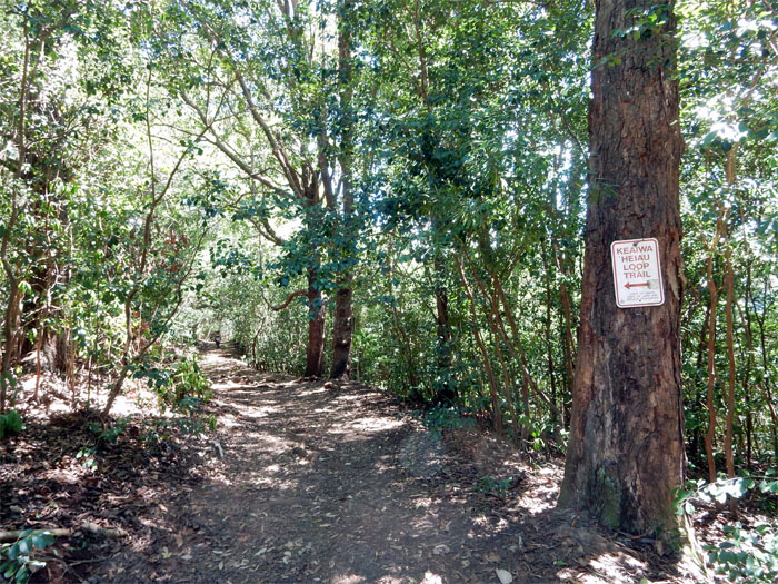
Our first sign on the trail. Right before this sign, we saw another trail on our left that goes to Camp Smith.
What is beyond this sign? Why is it closed? Curiosity killed the cat. The trail dropped a little as we crossed a stream and came back up.
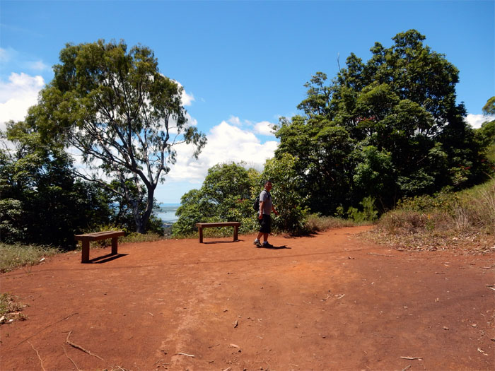
Views of Pearl Harbor peeked out from behind the tree line.
The trail ended at a campsite.
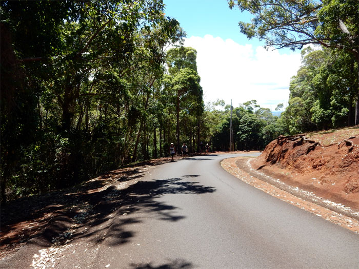
Now we had to walk back up the road to our cars. Broke a sweat doing it.
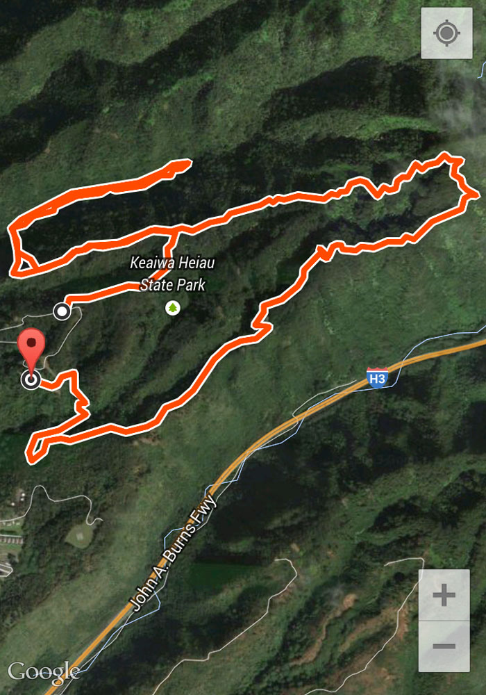
Our nice, easy hike clocked in at 6.76 miles under hot and muggy conditions. Post hike meal at The Alley Restaurant. Best oxtail soup on the island.

{ 9 comments… read them below or add one }
Climbed down as far as the engine last Friday. The gulley has filled in with more dirt from the rains. Afterwards found your article and forwarded to a friend to let him see pictures of the trail. Nice photos.
Aloha Scott,
Thanks. Yeah, at one time I heard the wing was actually propped on the side of a tree on the trail. Then a landslide took everything down to the gully.
Mahalo
Thx for the post! I’ve been on this hike so many times but never knew there was a waterfall. Do you think I can carry my 1 yr old and have my 4 yr old do it…? Or is that being too ambitious?
Aloha Amy,
You’re welcome. Just my opinion, I would not take your kids down this hike. Perhaps wait a couple more years. Or do it yourself first so you can more accurately gauge the hike for you and your family.
Mahalo
Darn it! Yea you’re probably right and it’s better I be cautious with the little ones. Adultering is so hard. ; )
Thanks again!
Amy
Back in the day when I lived in Ai’ea Heights, the trail (such as it was) only ran perhaps 1/4 mile +/- past the bomber wreckage and petered out on the ridge top. There was a bit of an animal track that ran steeply down from there on the Halawa side but I never went down it – us kids were a little spooked by the wild pigs that were “waiting to get us”.
Aloha Phil,
Thanks for sharing your memories. Always priceless!
Mahalo
Use to jog that trail in the late ‘70’s and the wing was about 10 feet off the trail on the left side. Not much was made of it back then.
Aloha,
Thanks for sharing your memories. I heard from some old timers of the same thing, that the plane was against the tree and years later a landslide took it down. And then the scavengers came and took everything of value. Sad.
Mahalo