
The mountain was calling. The highest mountain on the island. Ka’ala. Met up with Carmi, James, Rocky, Ron and Ryan at Waipio Costco, our staging point. Ron’s wife was nice enough to drop us off in Waianae Valley. We even got to watch a comedy video while driving to the trailhead. All we were missing was the drink service.
Clear skies
The skies above Mount Ka’ala were unusually clear. A good sign.
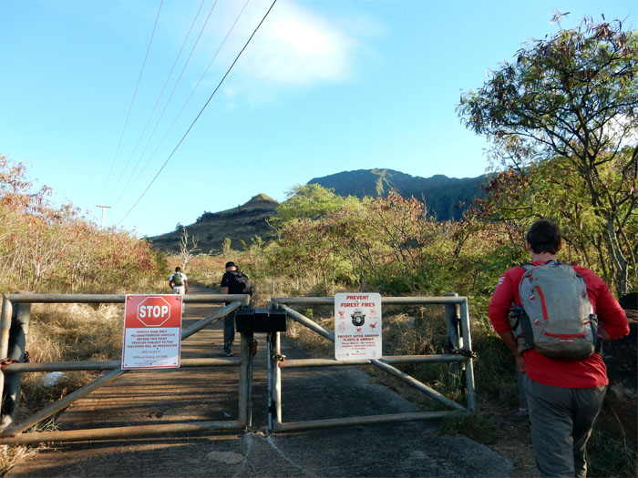
On the road again
There’s just no getting around the paved road to Ka’ala.
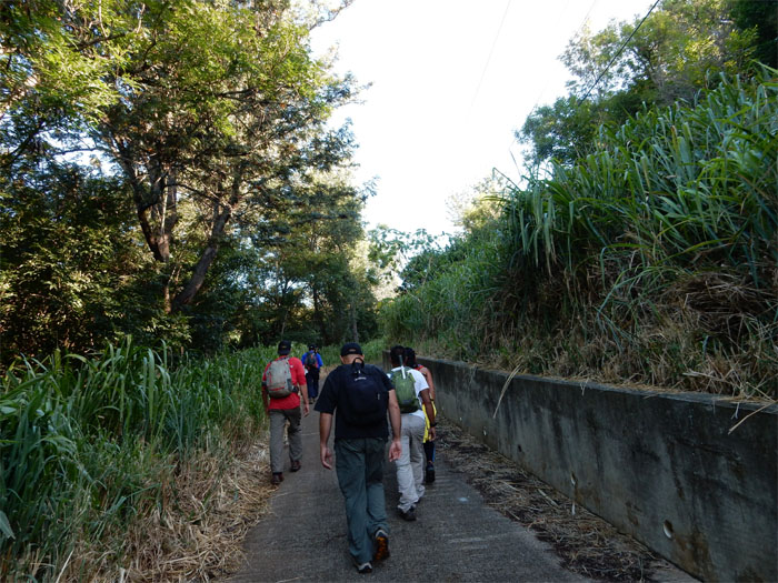
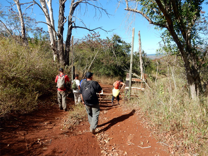
Leaving the road
Transitioning to the dirt road. Straight ahead. The trail to Tiki Ridge is on the left.
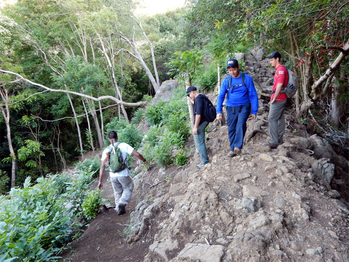
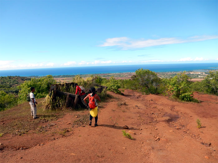
Purple junction
We turned left at the purple bottle capped tree and dropped into a gully to continue the hike.
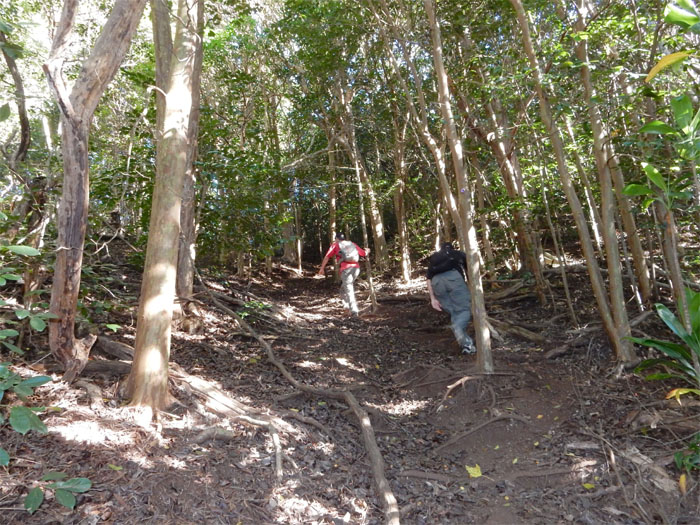
Morning cardio
Making our way up the tree covered ridge that provided ample shade that kept the heat down.
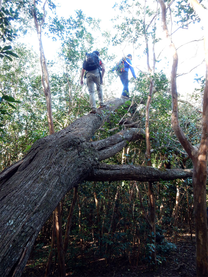
When a tree falls in the forest
Walk on it and see where it goes. Photo by Rocky Abad.
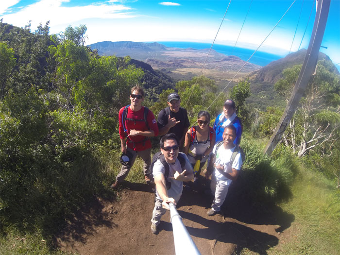
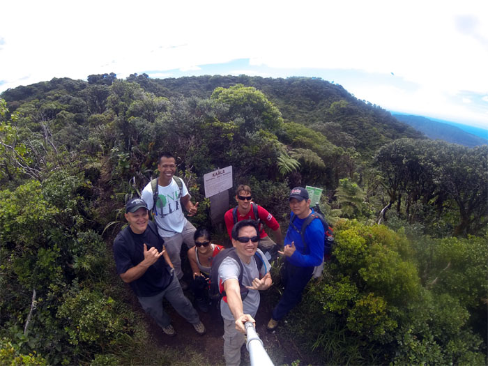
Three Poles
Group photo at Three Poles junction left to right: Ryan, myself, James, Garmi, Ron and Rocky.
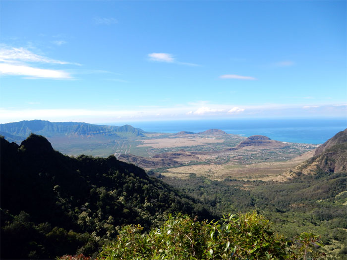
Bolohead ridge
Bolohead Ridge and sweeping views of Lualualei and Waianae Valleys to our right.
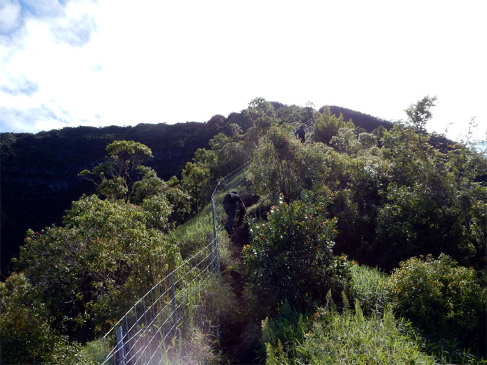
Follow the fence
Making our way up the fenced Kamaile’unu Ridge.
Scenic point
Picture perfect day. Break out the camera. Photo by Rocky Abad.
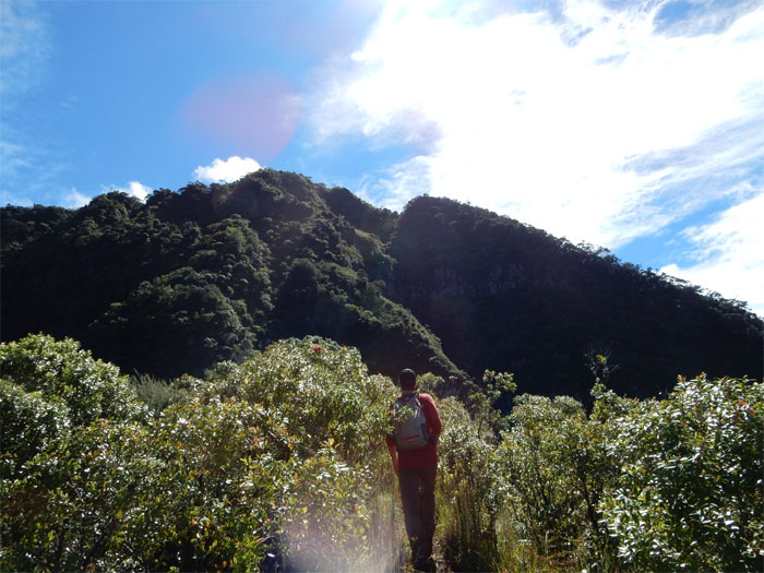
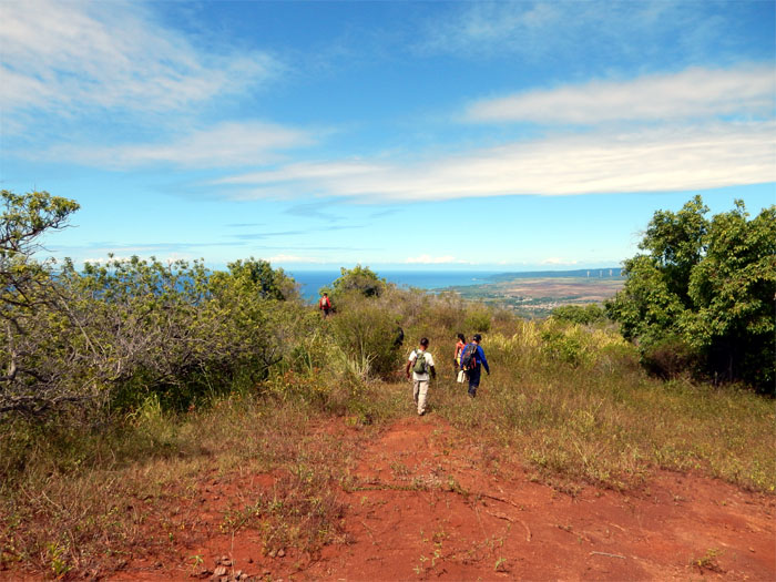
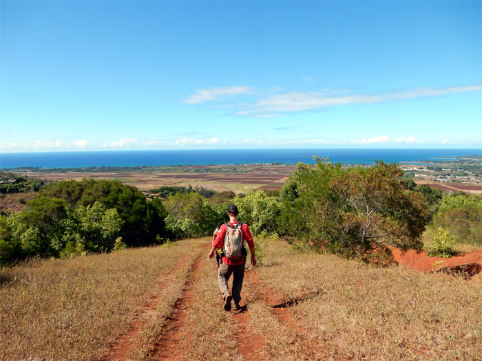
Still a long way to the top
The ridge flattened and widened though an Australian tea grove as the mountain loomed ahead of us.
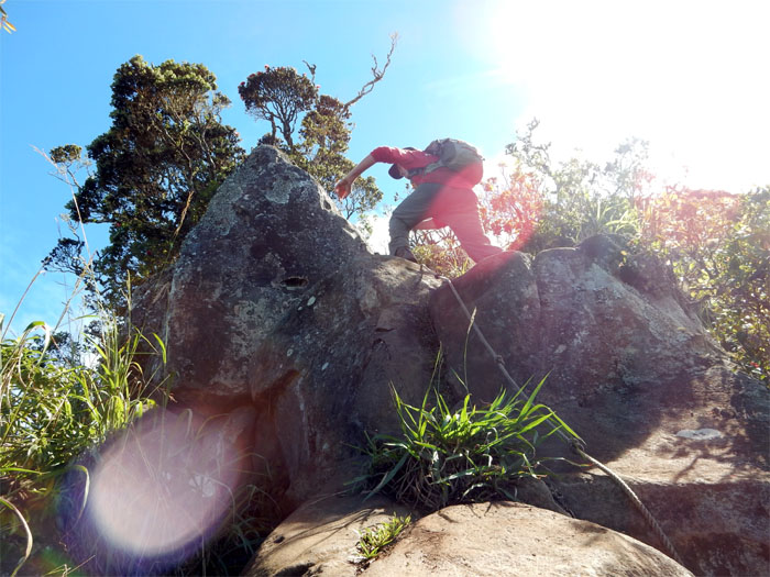
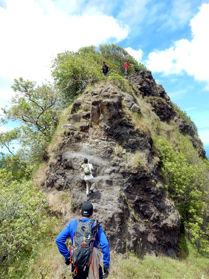
First boulder section
The only rock climbing to be found on this trail.
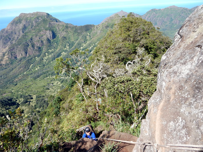
Test all ropes
Ron making his way up.
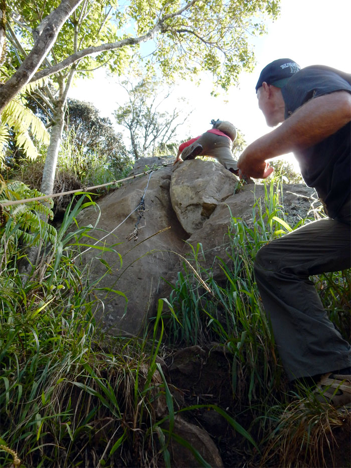
Second boulder section
Fun but short lived. The trail soon became rather steep and muddy to the top.
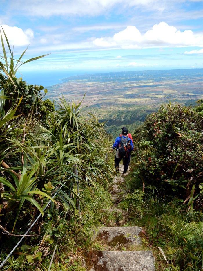
Summit view
The view was strikingly clear all the way to the “golf ball” radar stations at Kaena Point.
Ka’ala Natural Area Reserve
Severe fly infestation at the top. They were either feeding or breeding. Let’s get out of here!
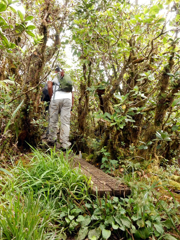
Entering the bog
Rocky walking on the boardwalk that helps to protect the fragile ecosystem that are home to endemic mosses, ferns and plants.
Leaving the bog
After walking about 3/4 of a mile through the misty blog, we emerged on the other side.
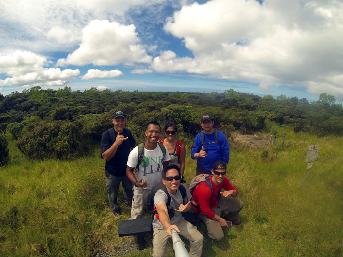
How many hikers can fit on a bench?
The answer is two. Group photo in front of the expansive bog.
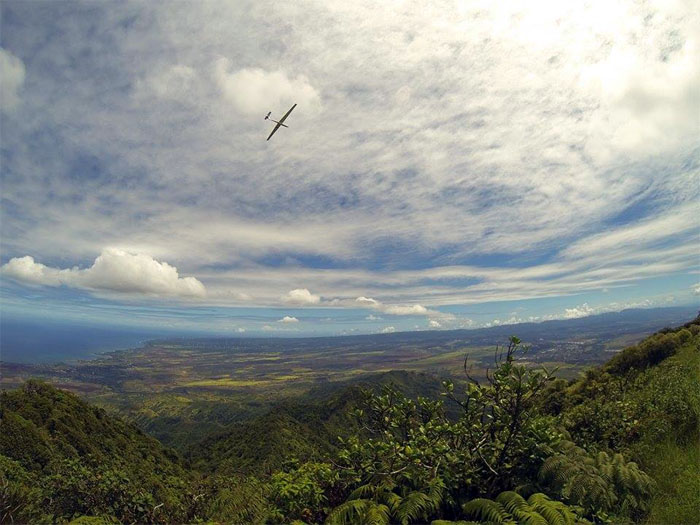
Fly away
A glider flew overhead and swung around the summit. We thought we had a view, that pilot must have had a better view. Photo by Rocky Abad.
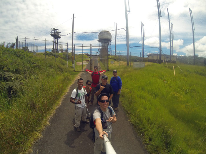
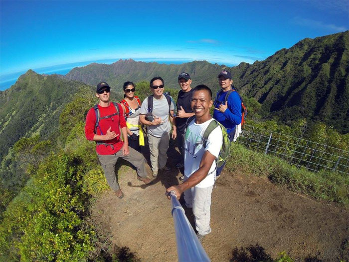
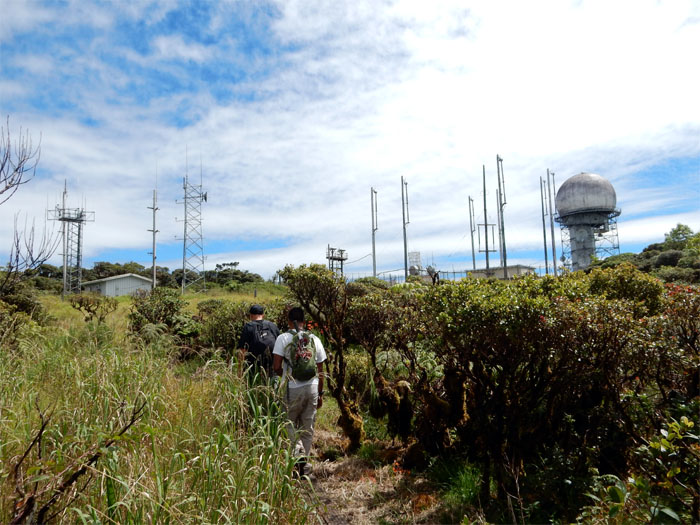
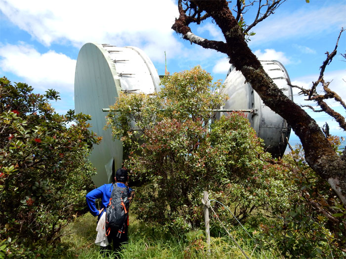
No hat, no salute
Group photo in front of the FAA tracking installation. Only James, Ron and Ryan gets a salute.
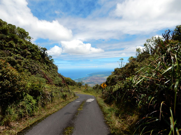
Mount Ka’ala Road
Walking down the road with a million dollar view.
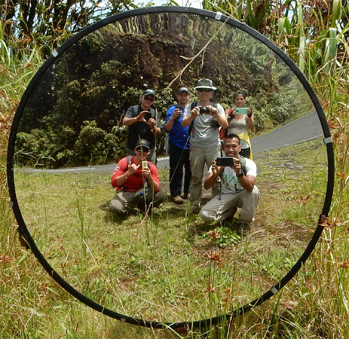
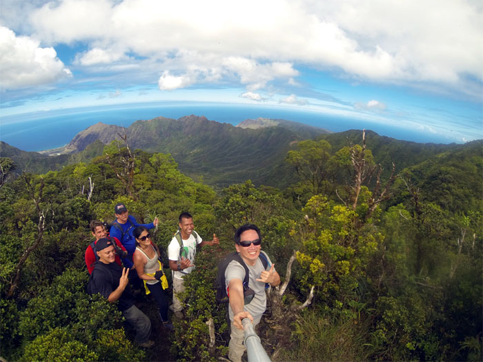
Group selfie
Who cleans all these mirrors?
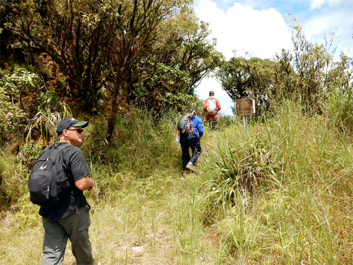
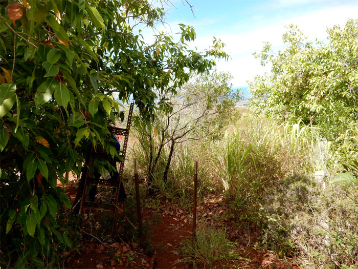
Dupont trail
Leaving the road for greener trails.
Stairs
The stairs extended for a good stretch down the trail.
Goodbye Ka’ala
Looking back at Mount Ka’ala.
Any echo? Any echo?
Is this thing active? Good question to ask before poking your head inside.
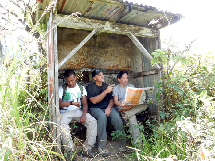
Da Bus Stop
Is my watch broken? Hey, is that Steve Perry? What does my horoscope say today? Running thoughts at the bus stop. Thanks to Troy Solano for pointing this iconic hiking fixture out to me. Photo by Ron Kimura.
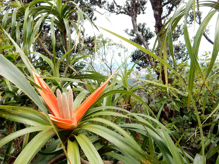
Freycinetia arborea
The ‘ie’ie plant, has medicinal qualities when combined with other endemic plants.
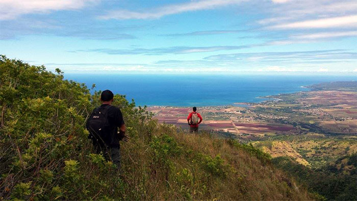
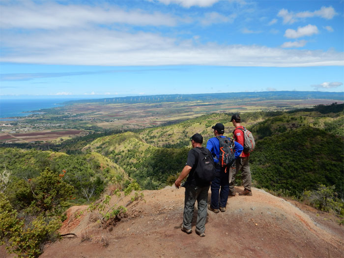
Checking out the view
Sometimes you just have to stop hiking and eyeball the views. Photo by Rocky Abad.
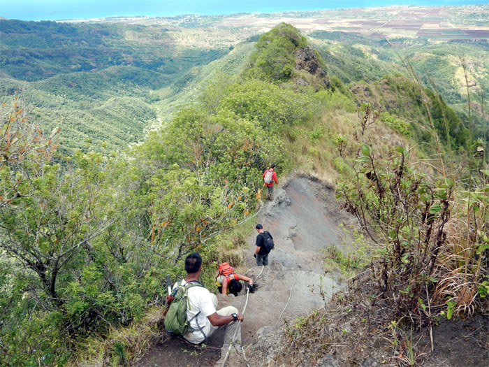
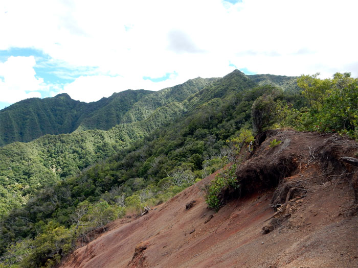
Hiking past erosion
The group making their way past one of several eroded sections on the trail.
Hiking on the edge
Ron and Rocky making their way past the shrubbery on the trail.
Rock climbing…sort of
Rocky going up a 30′ rock face. Ron waiting his turn. Easy peasy.
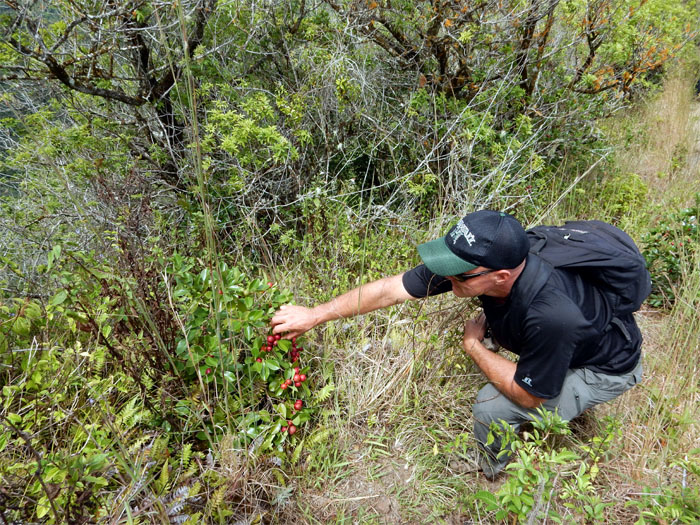
Tasty trail snacks
James picking from the abundant strawberry guava trees that lined the trail.
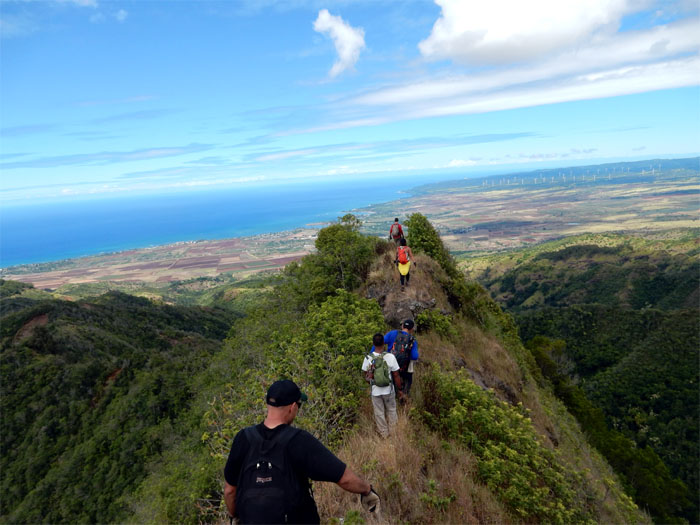
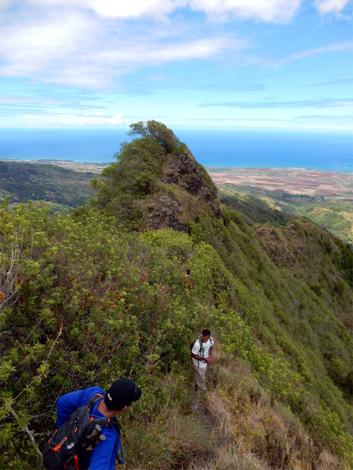
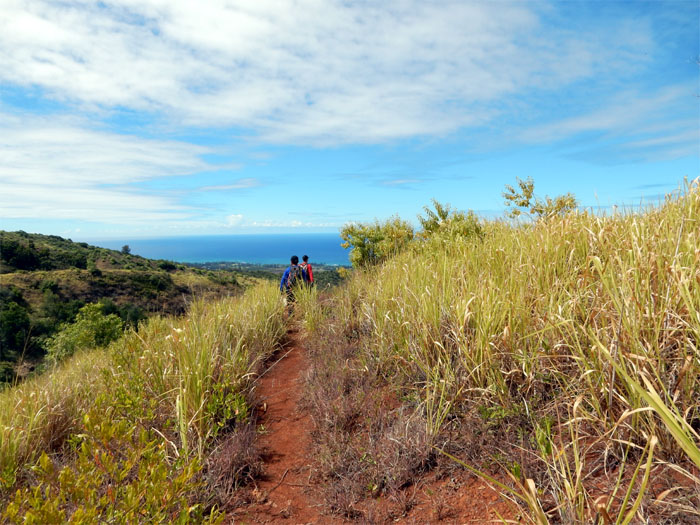
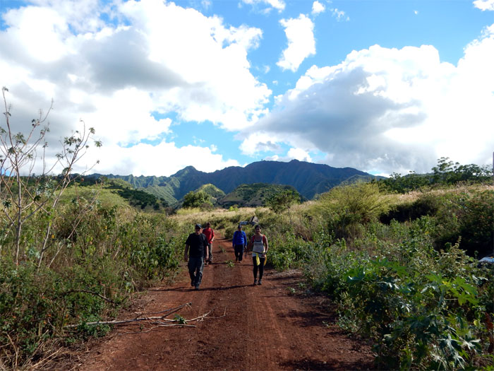
Walking on the ridge
The group making their way along the well defined section of the ridge.
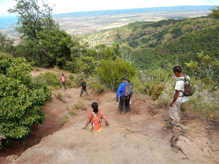
Dirt slalom
Going down this eroded section was fun. Had to stay balanced and slide on loose dirt, past the narrow section without falling down. Staked ropes were provided for assistance.
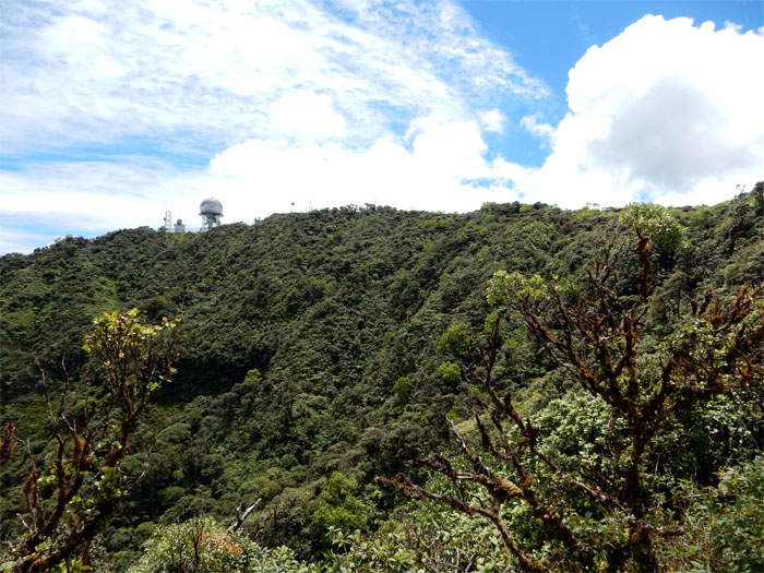
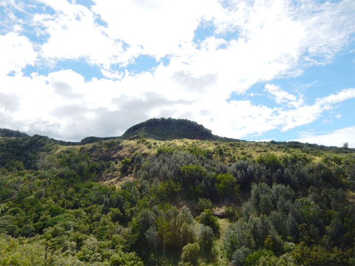
Looking back
The radar dome on the summit was getting smaller as we made our way down.
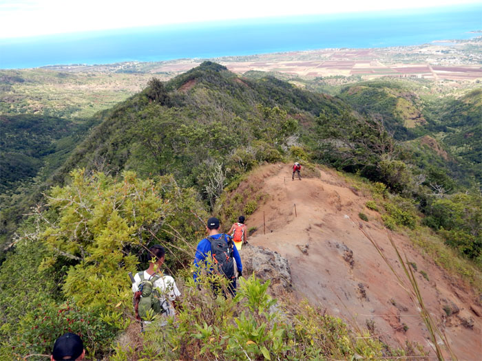
High ground
Still a long way to go.
Following the dirt trail
The trail was for the most part open and obvious…
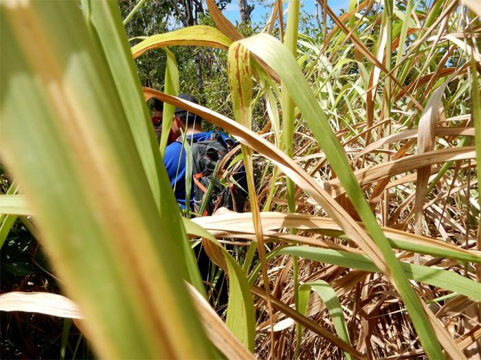
What trail?
…until we hit this section of head high California grass that just swallowed the trail and us. I could barely see Ron ahead of me.
Back on the trail
Visibility restored.
Cattle fence?
Our first fence on the trail. Meant to keep cattle from higher ground?
Trail disappears
We ended up bushwhacking a bit to regain the trail.
Sunday services?
We spotted a huge white cross on the ridge to our left.
Dry trough
No water. No cows. Makes sense.
Back on the trail
The trail soon turned into a jeep road.
Broken gate
The group making their way over a gate that looked like it got hit by a cattle stampede.
No signs of cows
Other hikers had told us of cows giving chase on the trail. Guess they were sleeping or it was too darn hot to be out and about.
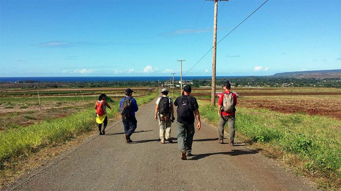
Headed to the highway
The road to civilization. Photo by Rocky Abad.
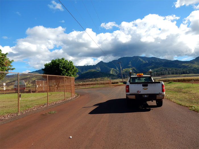
Security stop
Security stopped us short of the gate, asking where we had come from. Down from the mountain. They said next time call the landowner, Pioneer in advance to request permission. Thanks for the tip!
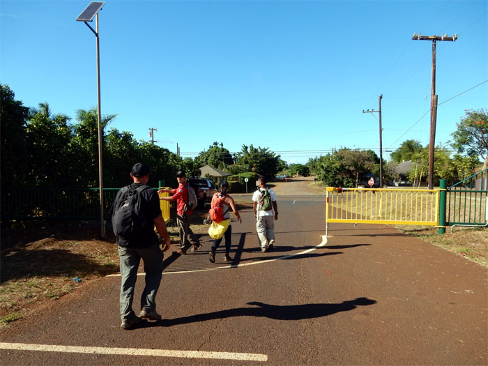
Hold the gate
As we approached the road, the gate swung open to let a car in. Perfect timing. James brother in law was waiting on the other side to give us a ride back to our cars.
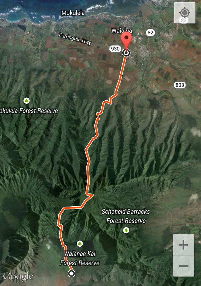
GPS Tracks
Our 8.43 mile hike started on the Waianae side, crossed over the highest mountain on the island and ended up on the Waialua side. Love hikes that don’t come back the same way. Post hike meal at Outback. No surprise. Great hike with old and new friends.
{ 0 comments… add one now }