It was time to tackle the hardest 14er in the Colorado mountains after a leisurely day spent touring the historic town of Frisco yesterday. Not to be confused with San Francisco. We woke up early but not as early as planned and drove to the town of Snowmass after consuming our oven baked pizza. That was not DiGiorno!
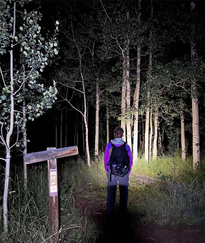
We arrived in the parking lot and after unsuccessfully trying to drive to the summit, we backed down and started our hike in the darkness again. A common theme hiking the 14ers as I slowly found out.
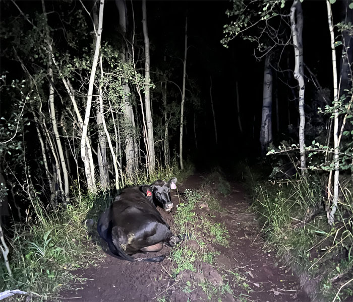
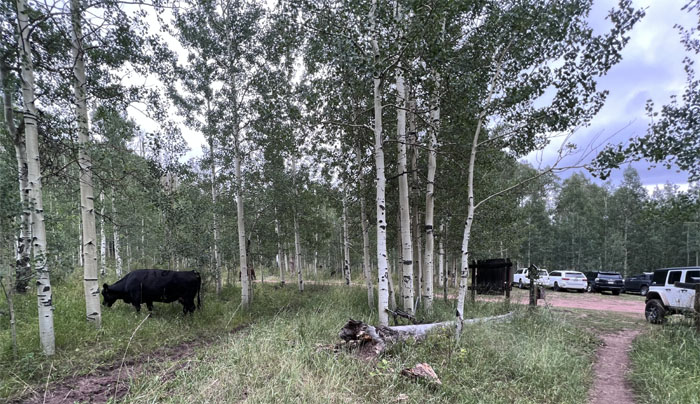
Not ten minutes into the trail and I saw a pair of glowing eyes belonging to a black mass. Somebody said that’s a bear! We instantly regretted not purchasing those cans of bear spray at the Bass Pro Shop. Luckily it turned out to be a sleeping cow as we got closer to shed light on the subject in question. Who needs a jolt of caffeine in the morning? Just pretend you ran into a bear in the middle of the night!
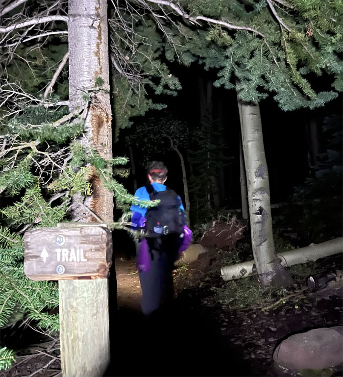
We soon hit the junction and joined up with another trail that branched off from the ditch trail.
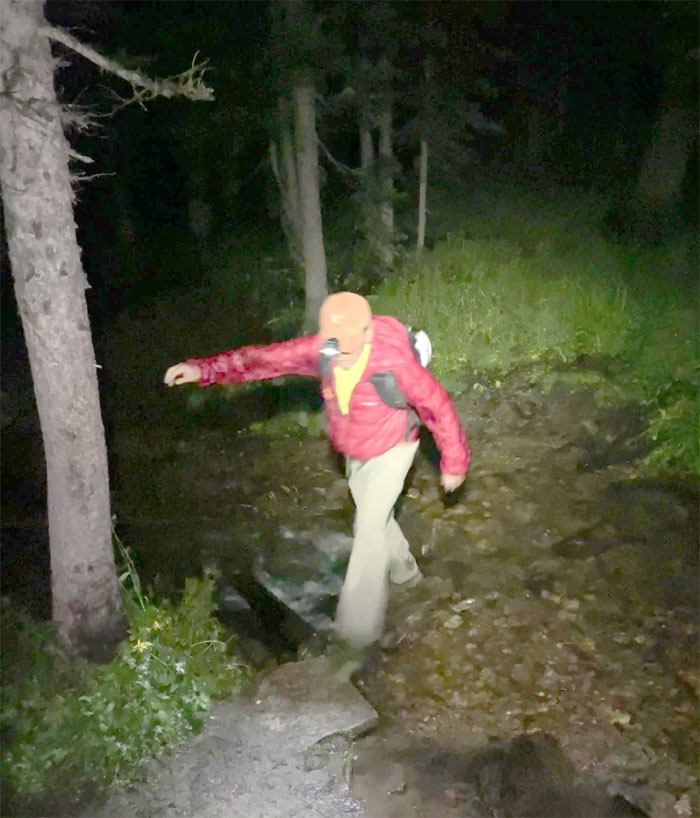
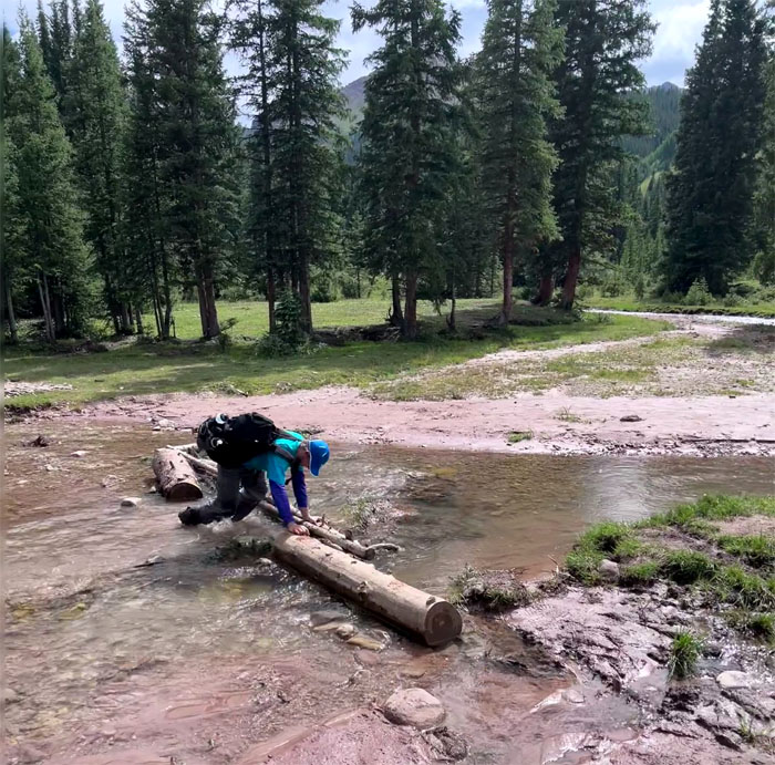
Hop, skip and a jump over the creek.
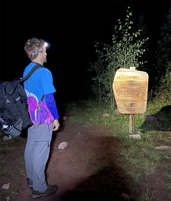
Entering the area that covers 100 square miles of trails and six of the 14ers, including the one we were doing today.
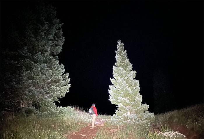
We hiked through an open field seemingly devoid of bears but filled with trees.
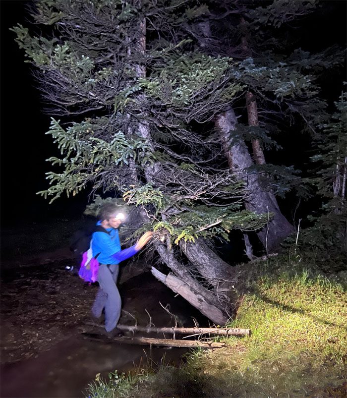
Andy crossing over a stream in the meadows. You sure this is the way?
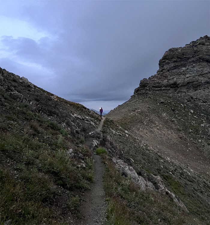
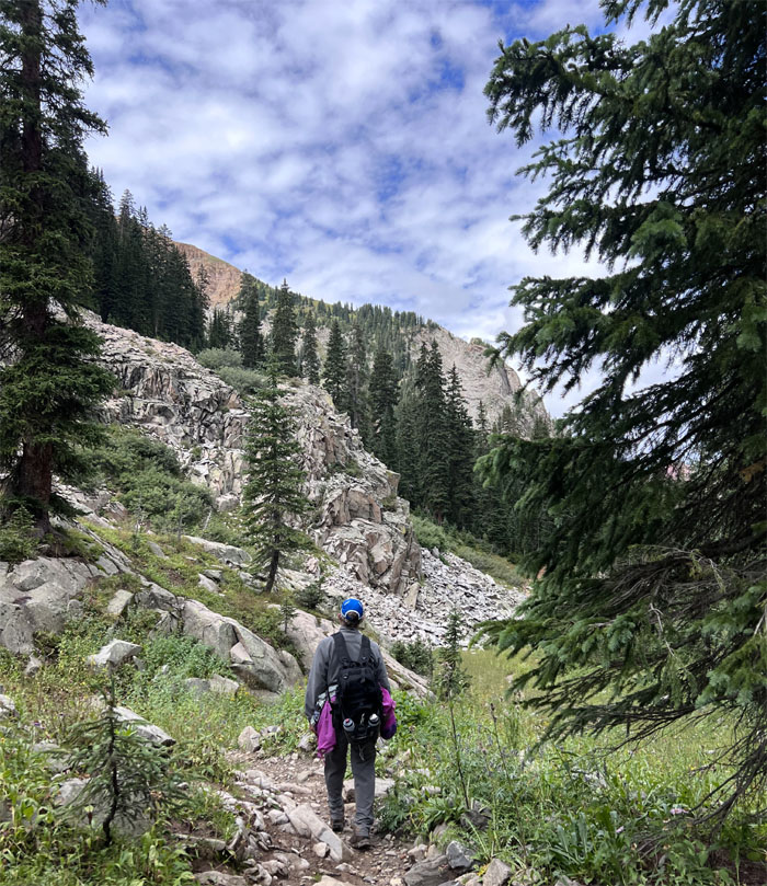
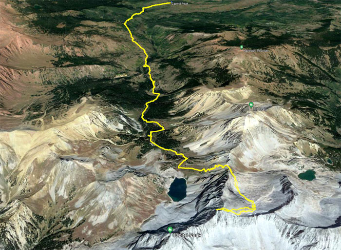
Hiked up a hill filled with peculiar noises to my ears which were further amplified by the darkness. Needless to say, my pace quickend a bit until we reached the saddle between Mount Daly and Capitol Peak where daylight soon shed light on our surrounding areas.
Contouring on the east side of the ridge line.
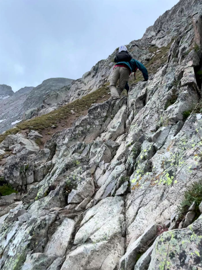
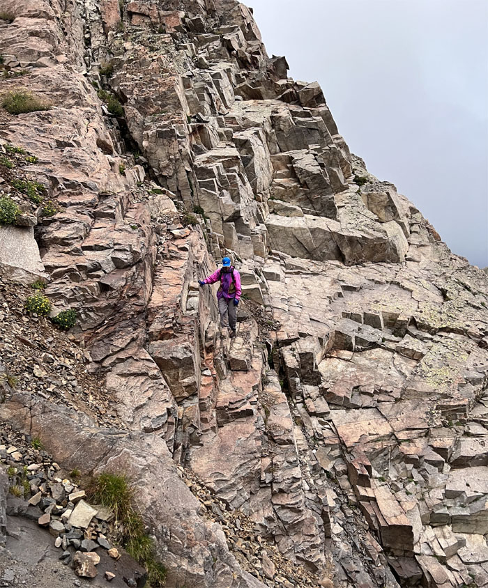
Scrambling up the uneven rocks.
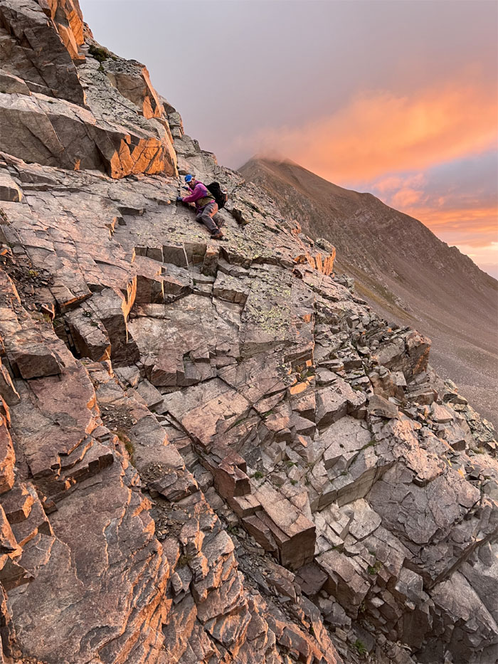
Andy crossing over slabs of granite that were covered with a film of dirt and loose rocks.
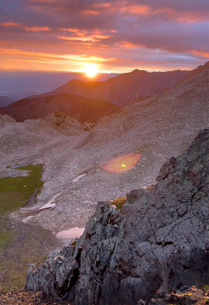
Watching the breaking sun over the mountains. Quite the show.
Andy preparing to cross a thin river of loose rocks and dirt. There’s no other way?
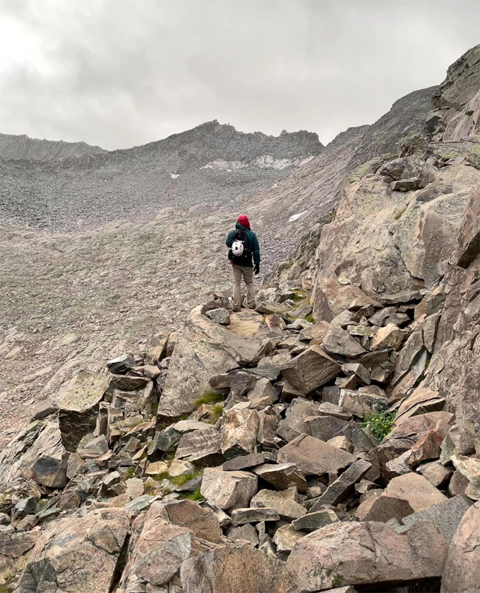
Looking ahead to the stretch of boulder field that was waiting for us.
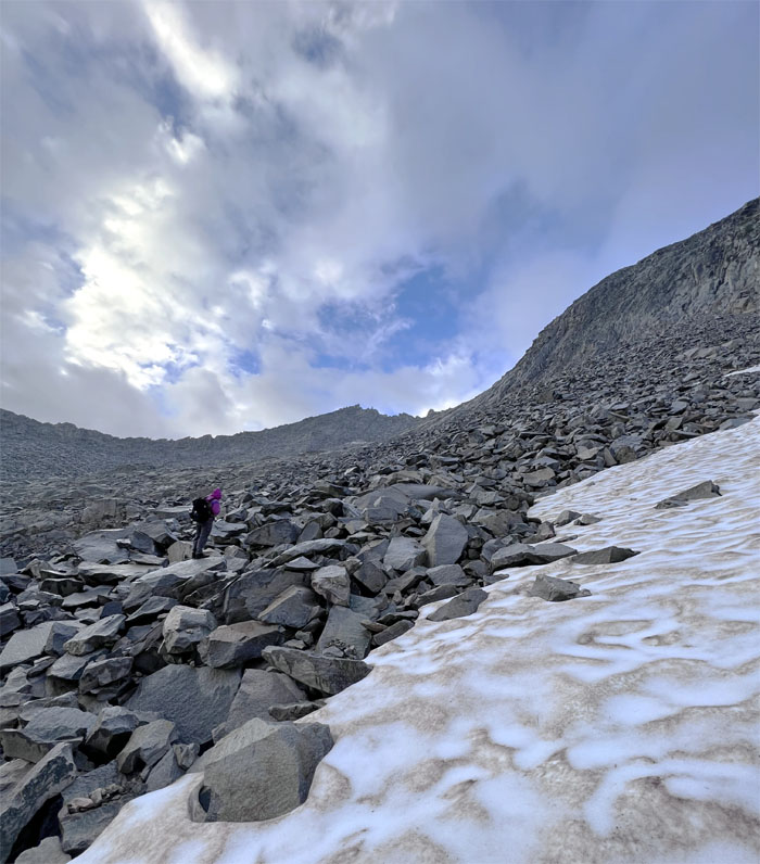
There’s snow in them thar hills.
Following the stacked rocks as we picked our way through the field of bigger stacked rocks.
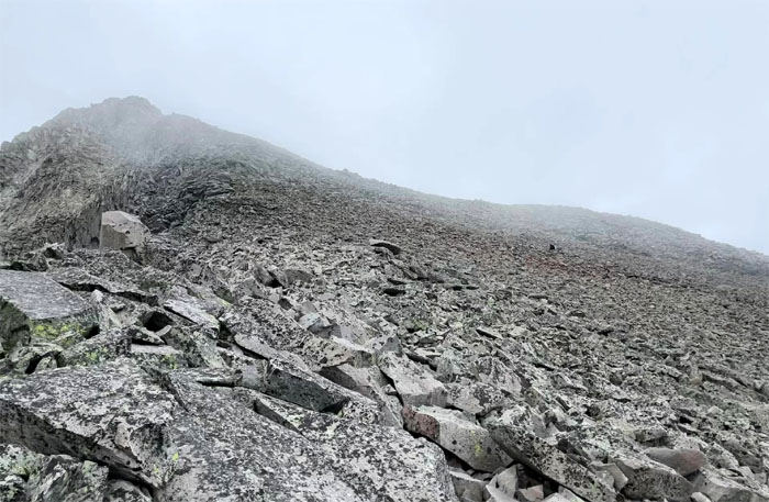
We soon started to angle to the right across the talus slope.
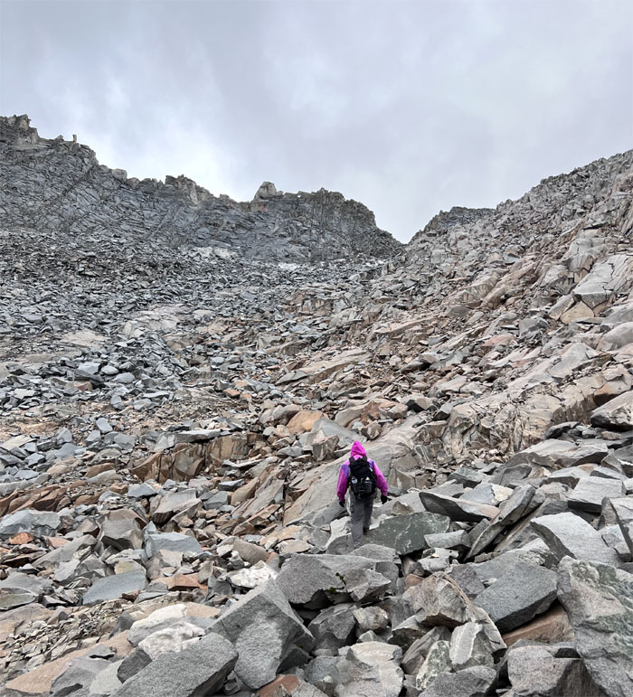
Rock hopping our way up the the mixture of stable and loose rocks. Some may think this is fun. I’m not one of them.
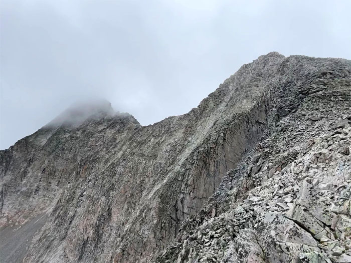
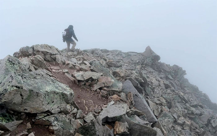
Looking ahead to the cloud wrapped 14,138′ summit. Look but don’t touch.
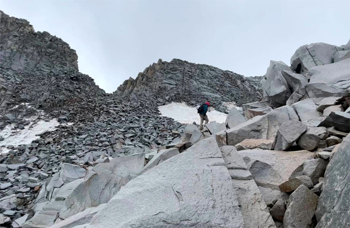
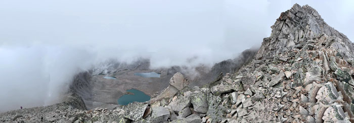
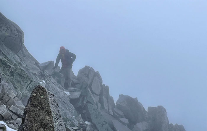
Andy coming up to K2 over the rocky terrain with the clouds behind his back.
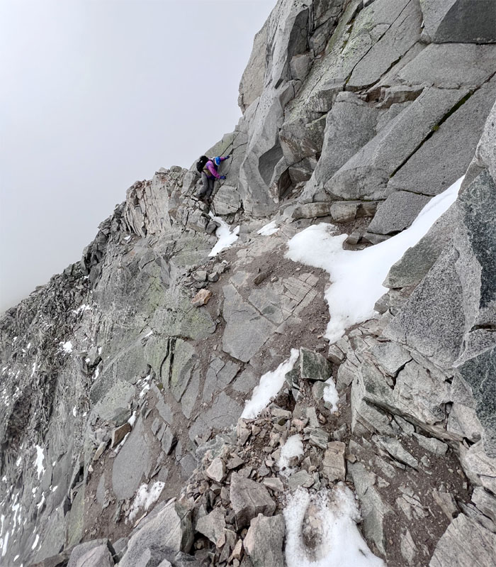
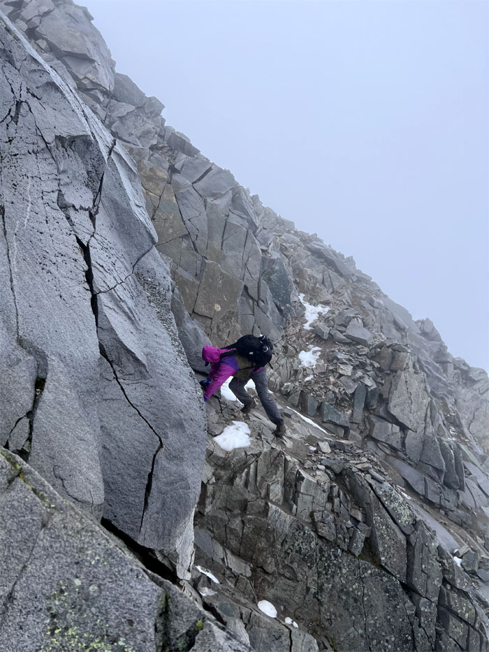
Traversing to the right of K2 with patches of snow and ice.
Why are you eating lunch in the soupy rain? Does that mean we are turning back? Rhetorical question?
Andy making his way back.
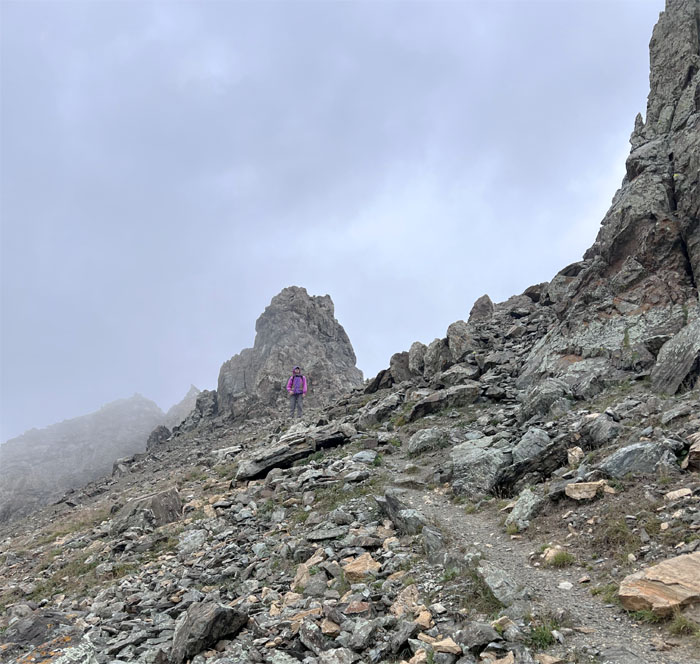
Leaving K2 behind us which is the turning point if the weather conditions takes a turn for the worse. I didn’t even get to use my helmet.
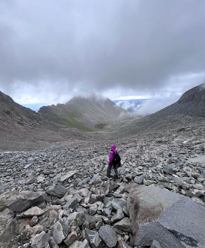
Scrambling our way back over the boulder field. The highlight of the hike for me. Not.
Somebody dug a hole for themselves that they were luckily able to crawl back out.
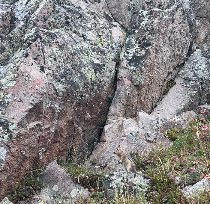
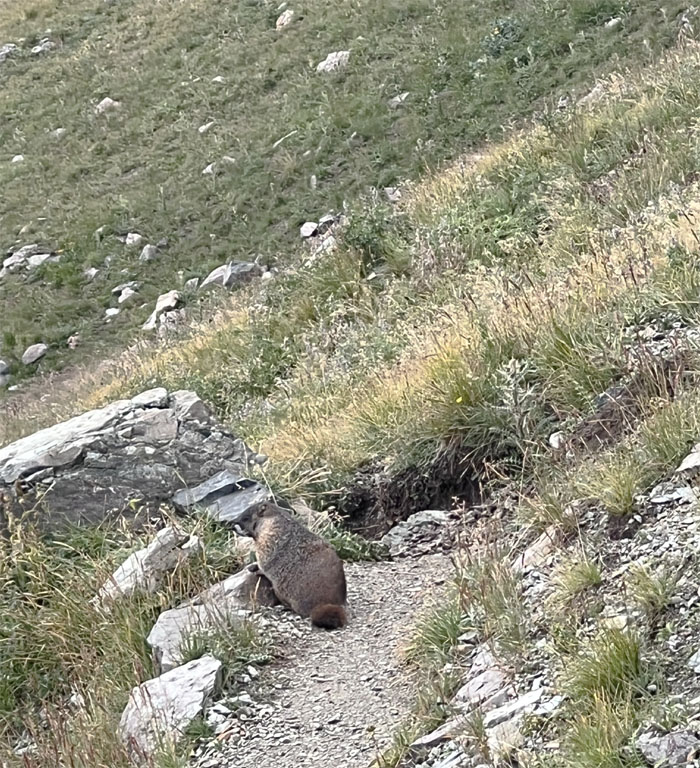
Common critter in the mountains.
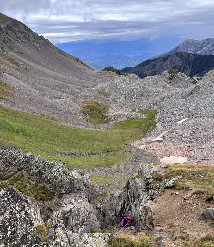
Switch backing our way down the hill.
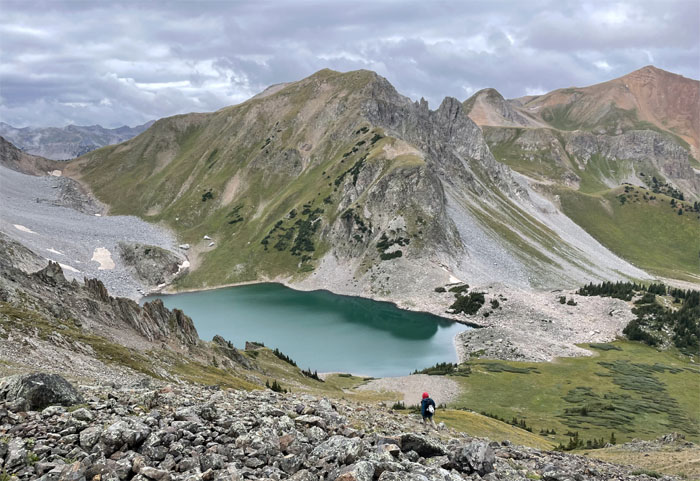
Descending towards the lake where voices floated our way from the clusters of campers down below.
Spotted a fatter version of a squirrel on the trail. It wasn’t looking for handouts.
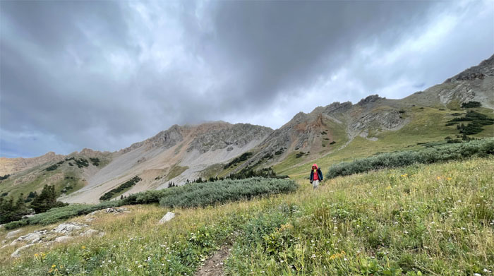
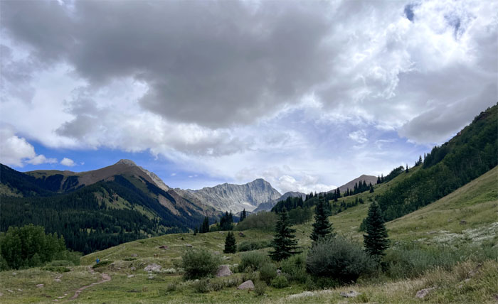
Leaving the mountains behind us, as grassy fields and meadows lay ahead of us.
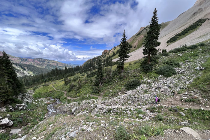
Andy going down the trail which ran next to the flowing creek.
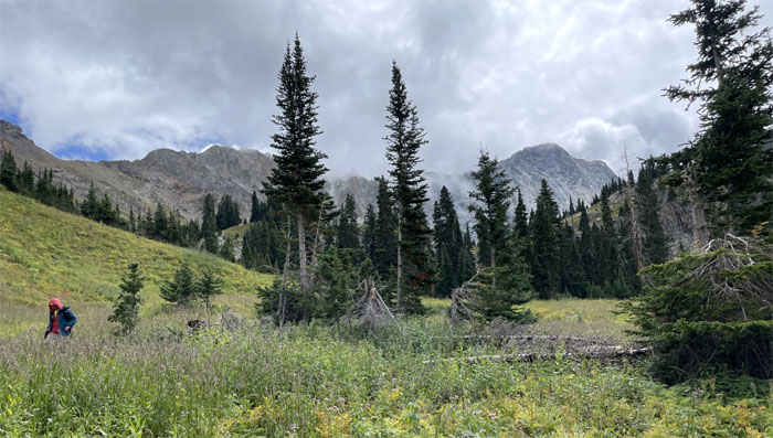
We could actually see the forest for the trees for the mountains. Nice hiking in the daytime.
Andy waiting for the trail to end.
I guess it’s better to take a fall during the day, rather than at night.
We’ll be back. Hopefully under better conditions.
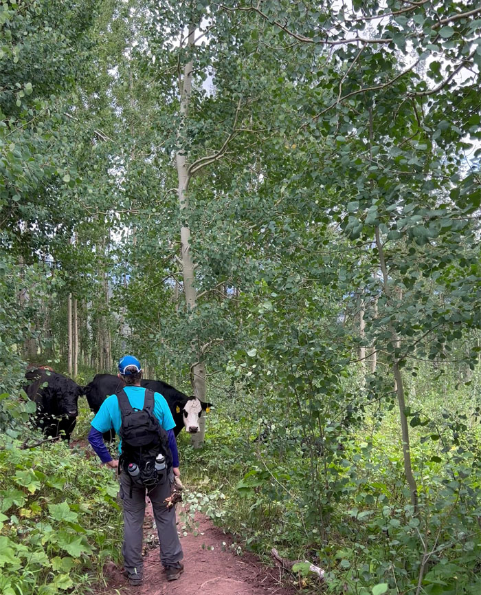
Andy standing his ground and showing the gentle giants, per PETA, who is the boss on the trail. The reports of cows being a “nuisance” on the trails were somewhat accurate. Or perhaps, the cows perceived us as the “nuisance?”
We came back to a still full parking lot as we crossed paths with multiple hikers heading to Capitol Lake to spend the night and perhaps try their hand at tackling the peak. In retrospect, we should’ve taken the advice some had given and split the hike into two days instead of a long day. Lesson learned.
Our attempt at summitting what is regarded as the hardest 14er in Colorado was thwarted by bad weather and covered almost 16 miles. Better safe than sorry. As they say, the mountains will always be there.
Post hike meal at China Town in Glenwood Springs, where we got the dinner plate. We should’ve gone to Panda Express. At least we got fortune cookies with tidings of generalized and vague expressions and prophecies that can be interpreted in ones own favor. The same couldn’t be said about our food.
Photos taken by Andy Wiegand and yours truly. Not necessarily in order.
Note: I have been made aware that some hikers have been using my blog as a hiking guide and getting lost on the trails. Please note that this blog was made to document the hike for the crew(s) that did it. That is why some of my comments will seem to have no relevance or meaning to anybody outside of the crew(s) that hiked that trail. My blog was never meant as a hiking guide, so please do not treat it as such. If you find inspiration and entertainment from these hikes, that is more than enough. If you plan on replicating these hikes, do so in the knowledge that you should do your own research accordingly as trail conditions, access, legalities and so forth are constantly in flux. What was current today is most likely yesterdays news. Please be prepared to accept any risks and responsibilities on your own as you should know your own limitations, experience and abilities before you even set foot on a trail, as even the “simplest” or “easiest” of trails can present potential pitfalls for even the most “experienced” hikers. One should also always let somebody know of your hiking plans in case something doesn’t go as planned, better safe than sorry.


{ 0 comments… add one now }