
We had left Colorado Springs yesterday after a fun day at the Cave of the Winds and one of the local dispensaries, thanks again to the Defelice family for their gracious hospitality and drove to Silverthorne to spend the next couple of days. Today we left early to make the drive to the town of Winfield to hike our next 14er. Thanks to the West family for their generosity in letting us stay in their ski house during our stay.
Lulu Gulch Road
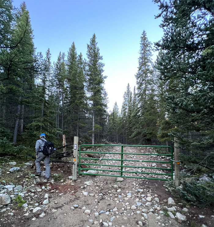
Taking advantage of our 4×4 Highlander, we drove past the 2WD parking lot after a fellow hiker said your car can make it and she got a free ride to Lake Ann to boot. The gate was locked preventing further four wheeled access, so we took over with our two legs.
Lulu Gulch Road
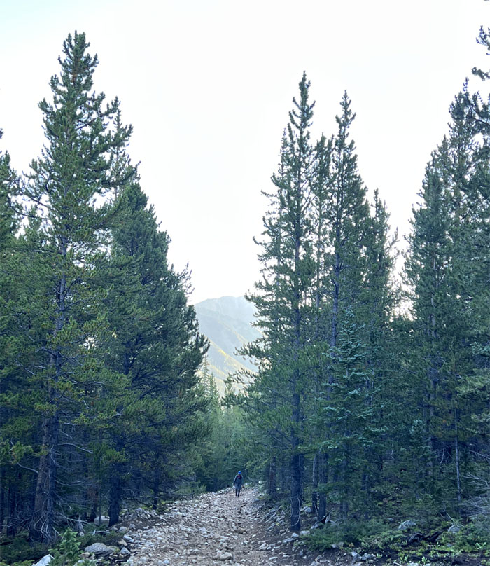
Following the road as it switch backed up the side of the valley.
Lulu Gulch Road
We turned left at the junction as going straight down the road dead ends at an old mine.
Lulu Gulch Road
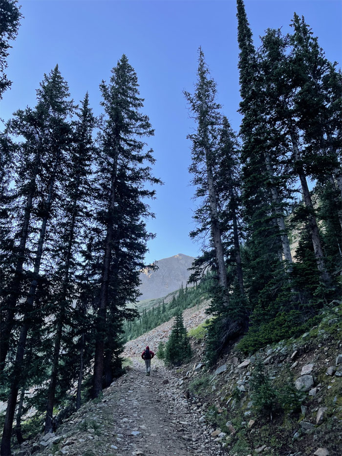
Following the road as it contoured around Browns Peak North Ridge.
Lulu Gulch Road
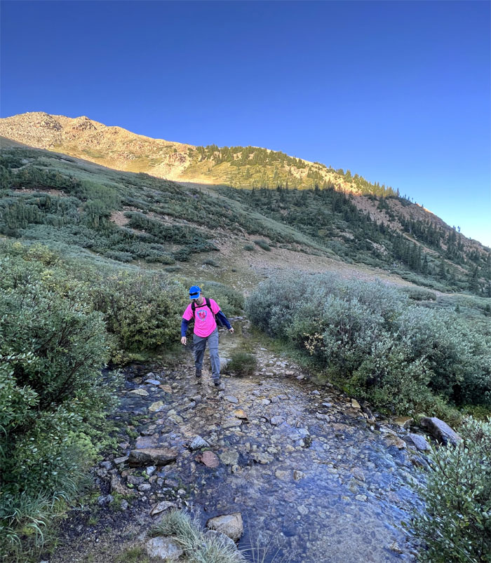
Andy crossing a little creek on the trail.
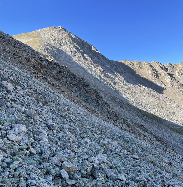
Lulu Gulch Road
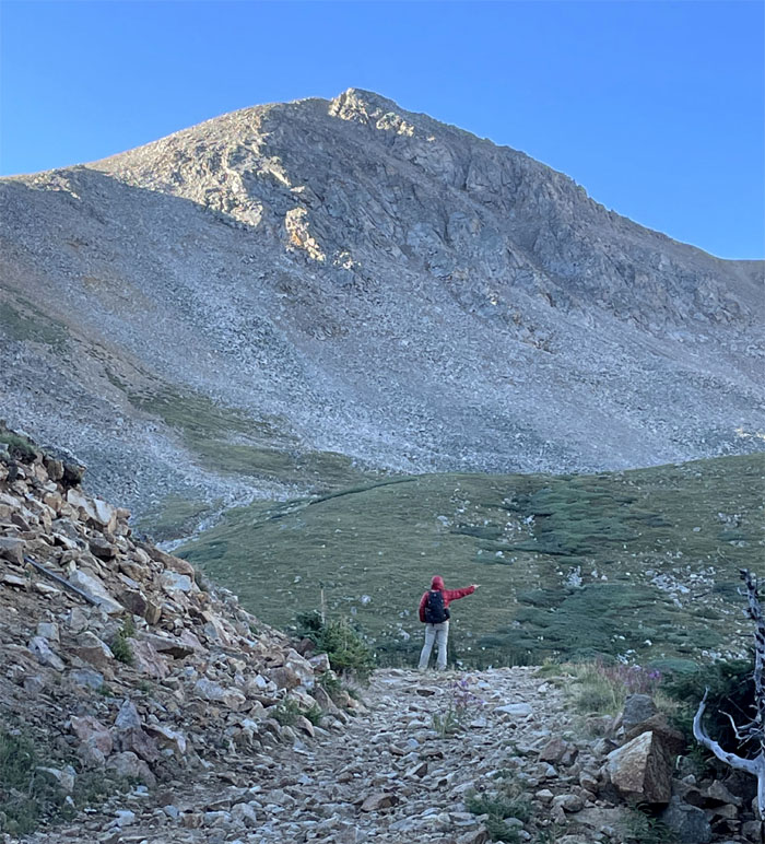
Looking towards Browns Peak that stands at 13,253′.
Lulu Gulch Road
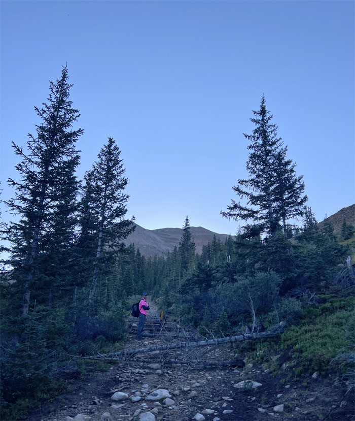
We almost went up the 4WD road to Middle Mountain by mistake and thankfully caught our error early on and backtracked towards the gulch.
Lulu Gulch
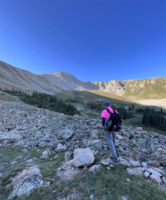
Trying to find our path amongst the scattered scree. What trail? We both just picked our own lines towards the ridge line.
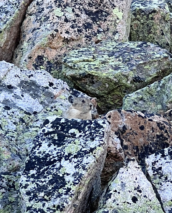
Pika
Spotted one of numerous rock dwelling mammals that are just a click cuter than rats.
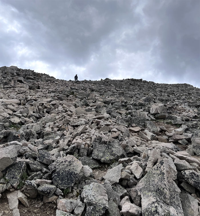
Lulu Gulch
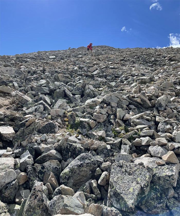
Scrambling up the mountain of scree. No bueno. No fun.
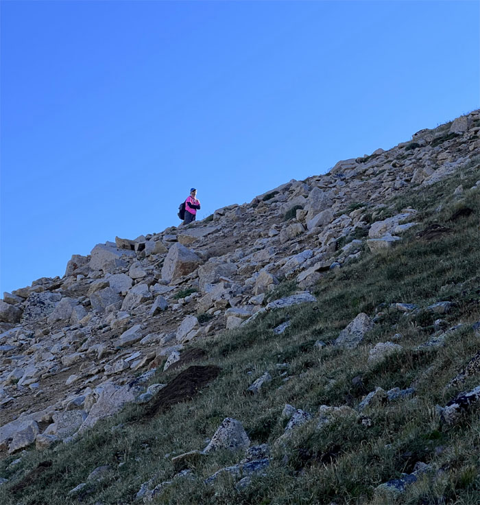
Trail
Apparently Andy picked the better line.
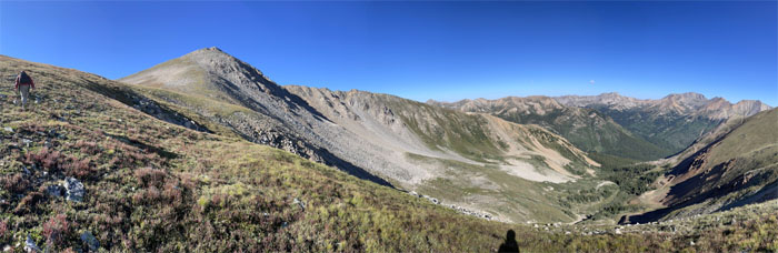
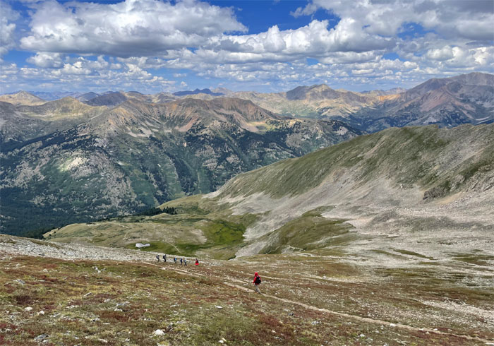
Trail
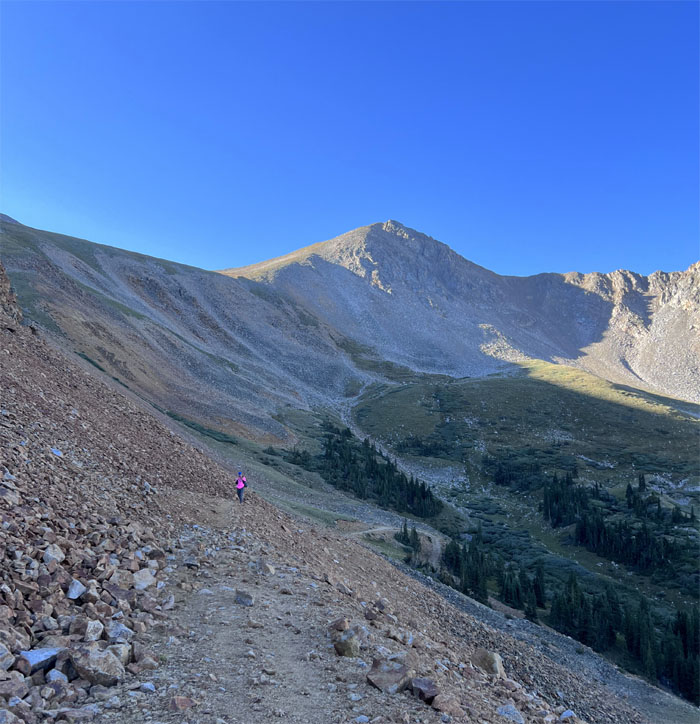
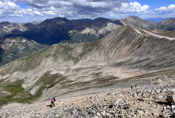
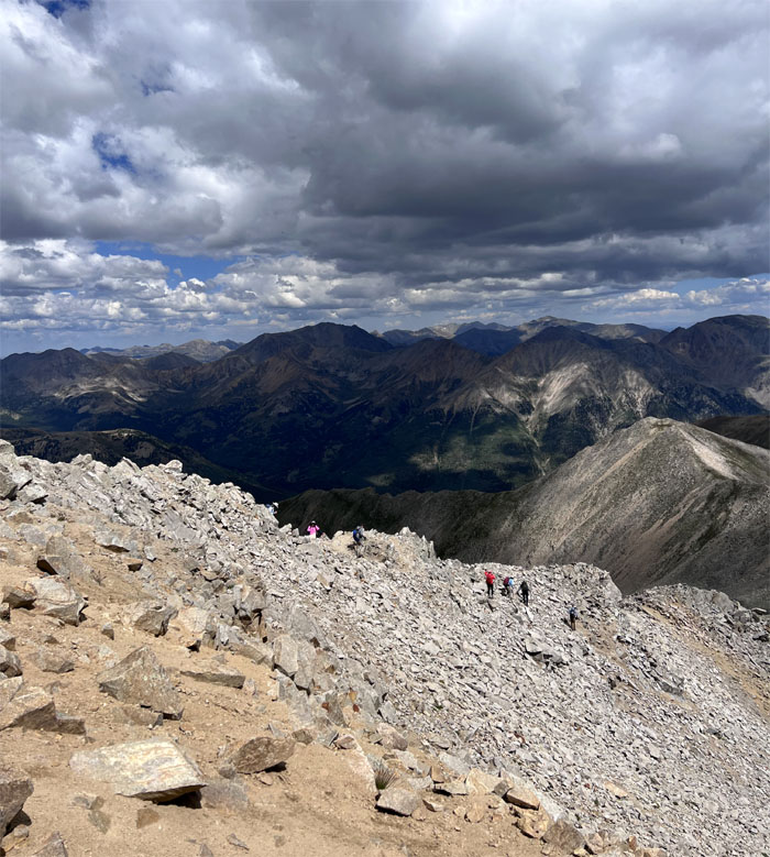
Panoramic view of the upper basin.
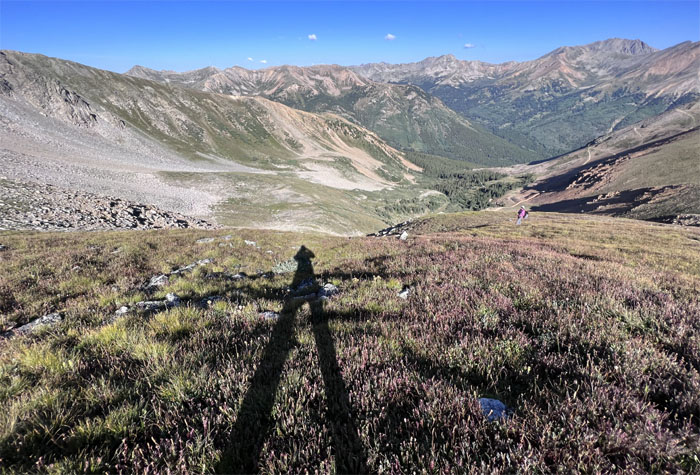
Trail
Daddy Long Legs in the mountains.
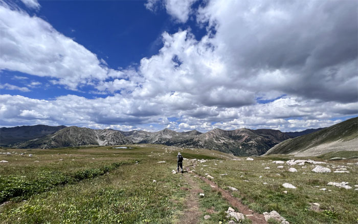
Trail
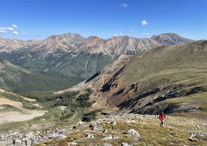
Angling across the grassy tundra and scattered rocks.
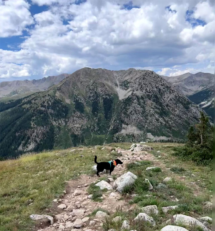
Browns Peak
Crossing over the unranked summit.
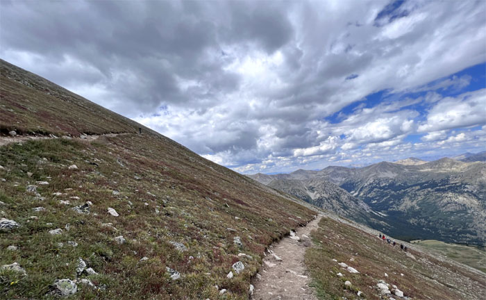
Trail
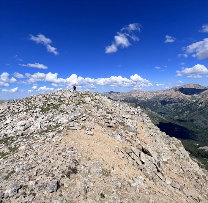
Traversing across the dike.
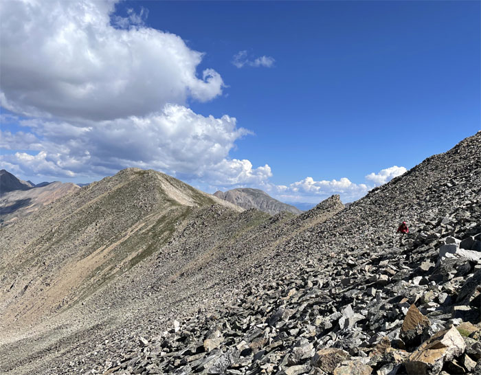
Trail
Contouring our way over the slope of scree.
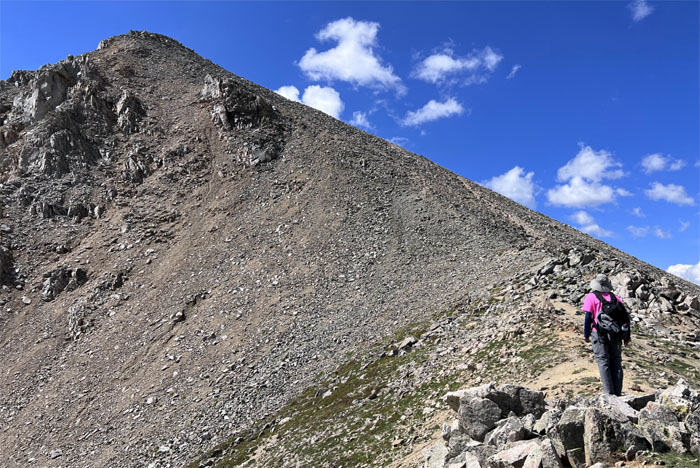
Trail
Are we there yet?
Trail
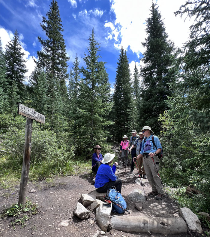
Andy passing the junction to the Standard Huron Route Trail. You mean there was an easier way to get up here?
Huron Trail
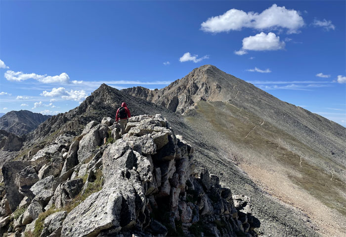
Going up the pile of scree rubble that characterizes the mountains in the Sawatch Range.
Huron Trail
Andy passing other hikers descending from the summit.
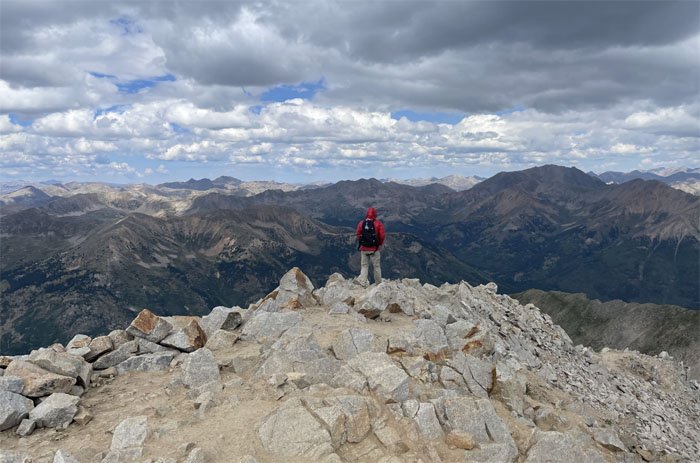
Huron Peak
Standing on the summit named after the Huron Indians. They got the name but not the land.
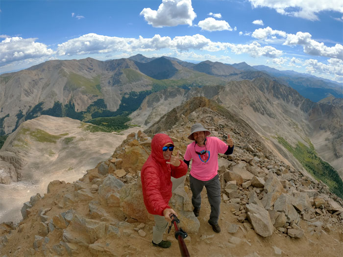
Huron Peak
Group photo at the 14,006′ summit. Or is it 14,003’? Or is it 14,012’? Will the real elevation please stand up. Some people are of the opinion that Huron has the best summit view of all the 14ers. Hard to argue with them, as we haven’t done all the 14ers, so we will just have to take their word.
Huron Trail
Leaving the summit before noon, lest any thunderstorms show up to ruin our day.
Huron Trail
Going down the trail surrounded by stacks of scree.
Huron Trail
We decided to follow the standard trail back down and make it a loop. Nobody wanted to climb back down the gulch. Met a guy and his dog coming up and we all agreed that the gulch “sucked.” Big time.
Huron Trail
Switch backing our way down the mountain.
Huron Trail
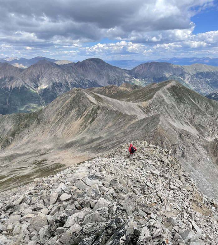
Andy crossing the basin with commanding views of the surrounding mountains.
Huron Trail
No stalking mountain lions seen on the trail. No aggressive or territorial moose spotted. Just a dog. I was fine with that.
Huron Trail
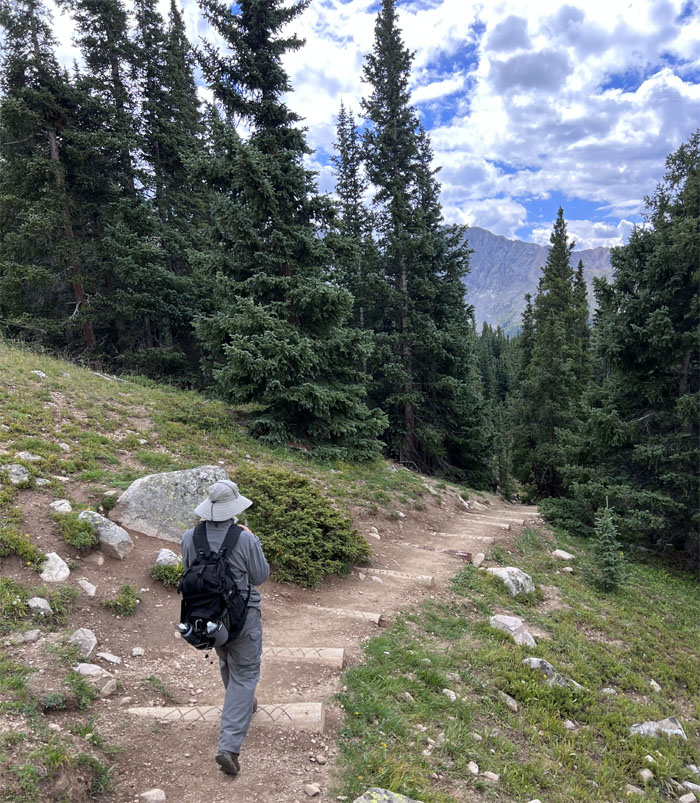
Andy hiking into the treeline.
Huron Trail
Talked story at the end of the official trailhead with a group of hikers from the East Coast. Some summitted. Some did not. The high altitude elevation was the main culprit.
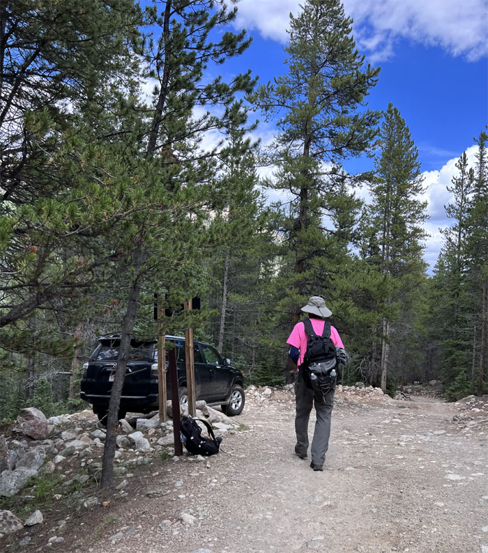
All pau
Nobody was driving back down the road so we ended up hoofing the rutted jeep road back to our car.
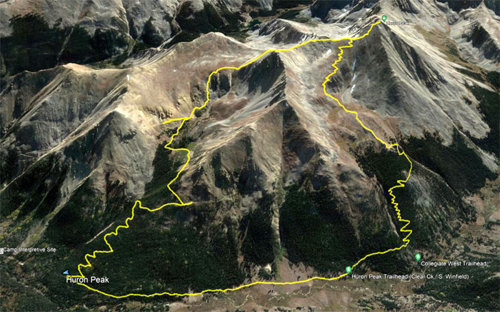
GPS Tracks
Our “Tour de Huron” hike covered a little over roughly nine miles. Post hike meal in the town of Leadville at Moe’s Original BBQ. The outdoor seating was nippy with the edge taken off by the pulled pork chili, potato salad, vegetables and cornbread.
Photos taken by Andy Wiegand and yours truly. Not necessarily in order.
Note: I have been made aware that some hikers have been using my blog as a hiking guide and getting lost on the trails. Please note that this blog was made to document the hike for the crew(s) that did it. That is why some of my comments will seem to have no relevance or meaning to anybody outside of the crew(s) that hiked that trail. My blog was never meant as a hiking guide, so please do not treat it as such. If you find inspiration and entertainment from these hikes, that is more than enough. If you plan on replicating these hikes, do so in the knowledge that you should do your own research accordingly as trail conditions, access, legalities and so forth are constantly in flux. What was current today is most likely yesterdays news. Please be prepared to accept any risks and responsibilities on your own as you should know your own limitations, experience and abilities before you even set foot on a trail, as even the “simplest” or “easiest” of trails can present potential pitfalls for even the most “experienced” hikers. One should also always let somebody know of your hiking plans in case something doesn’t go as planned, better safe than sorry.
{ 0 comments… add one now }