Wishing to explore the iconic symbol of Hawaii but wanting to stay away from the high heeled hordes that flood Diamond Head daily, I decided to literally borrow a page from a published list that details the many other ridges of Diamond Head.
Met up with George and Glenn at the trailhead that was sandwiched in between expensive real estate. Parking is not free.
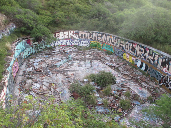
Grafitti, trash and shrubbery have taken over. Photo by Glenn Toyama.
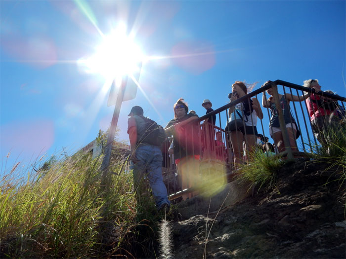
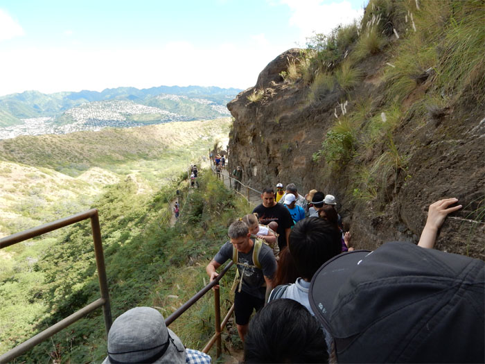
Looking up, we saw the tourists gawking at the sights below them.
Cables are laid out on some of the ridges and the entire crater rim.
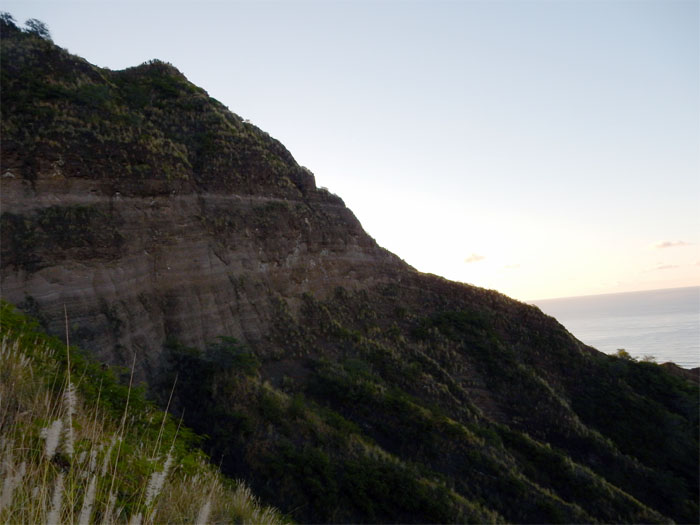
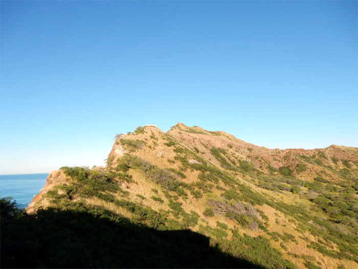
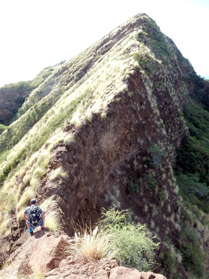
Another ridge to explore for another day.
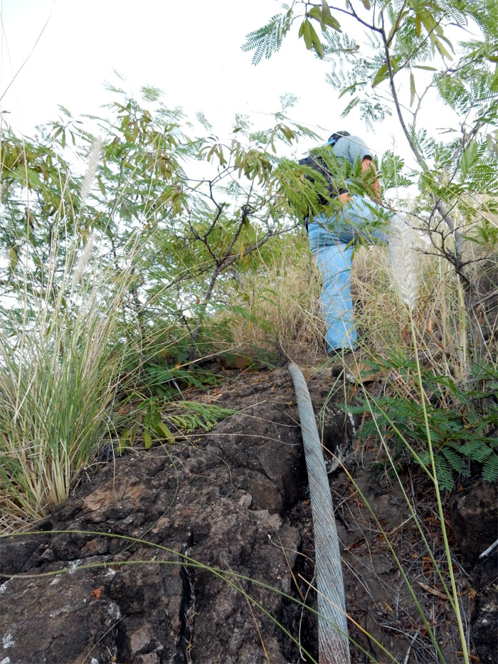
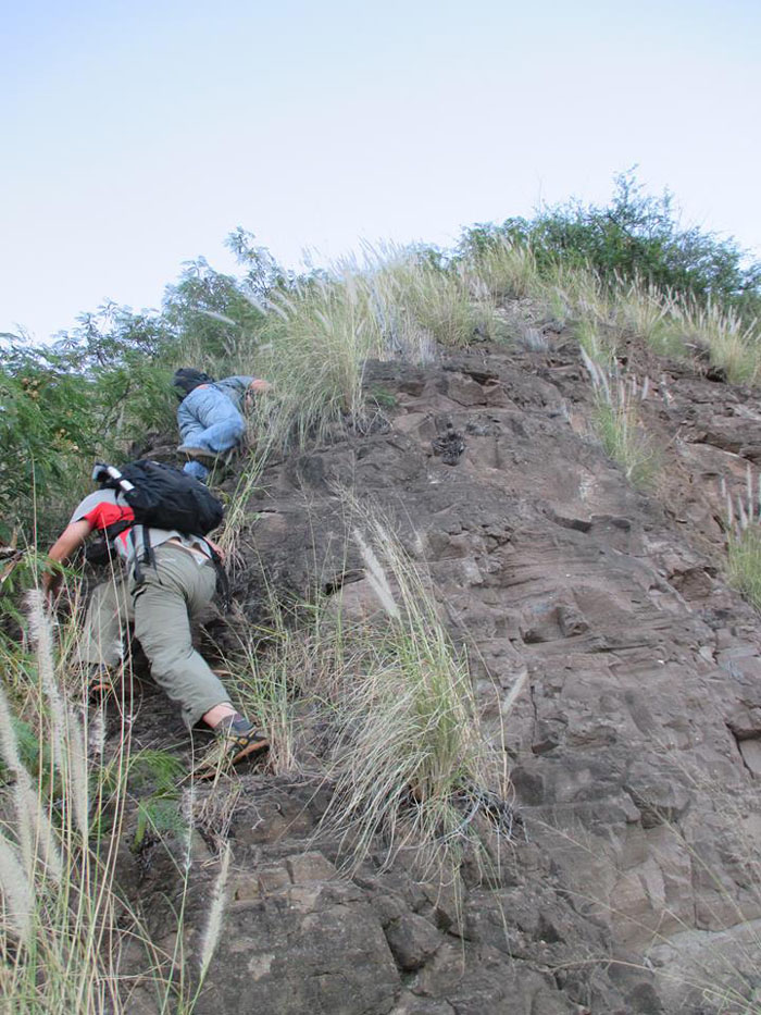
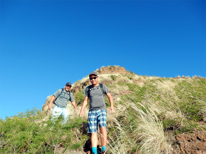
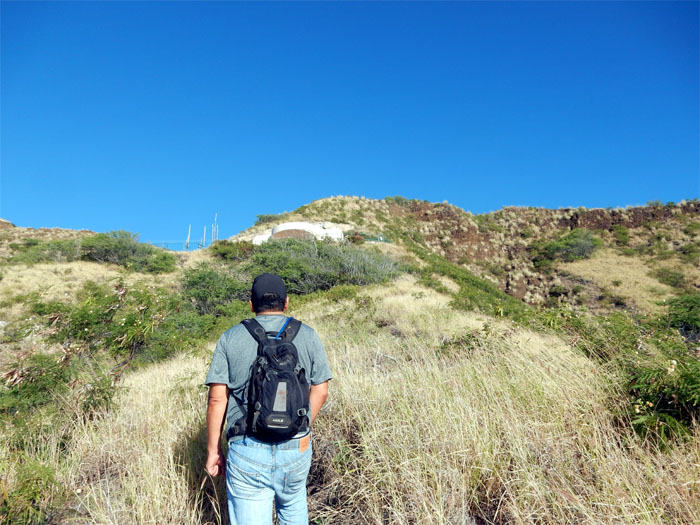
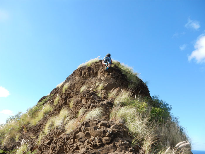
Climbing up the rocky face, ropes are present but not needed. Photo by George Vuong.
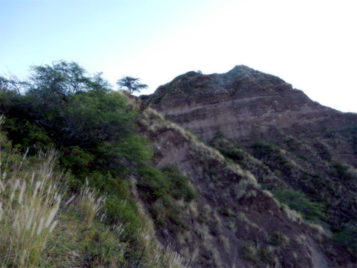
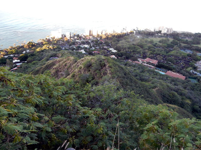
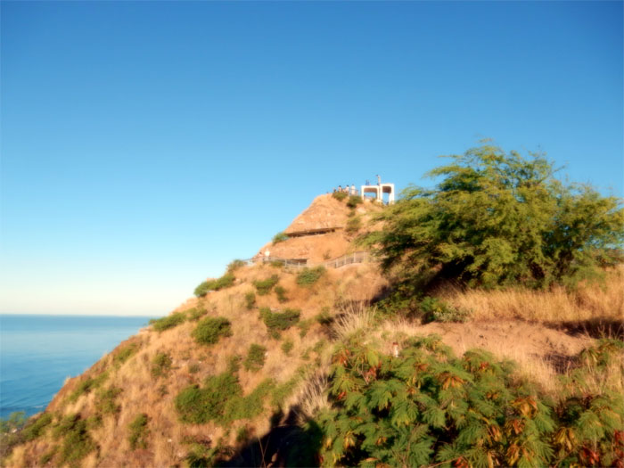
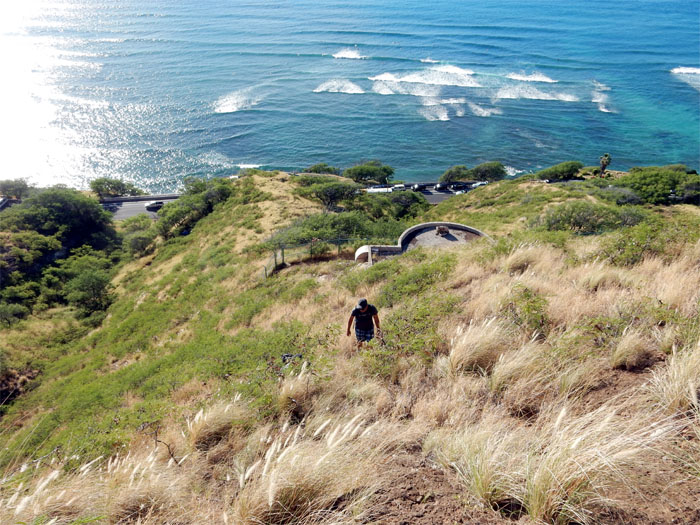
The ridge we had just climbed up.
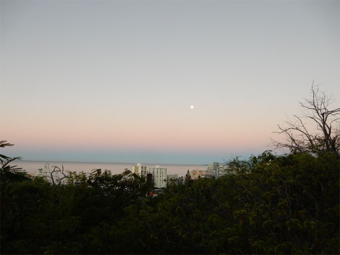
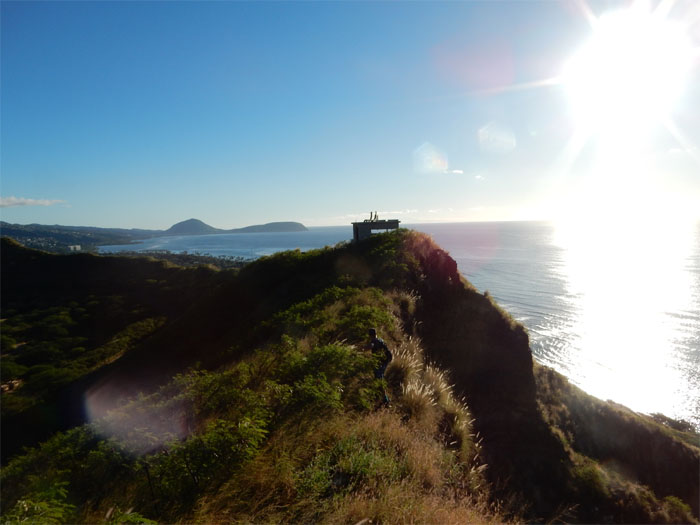
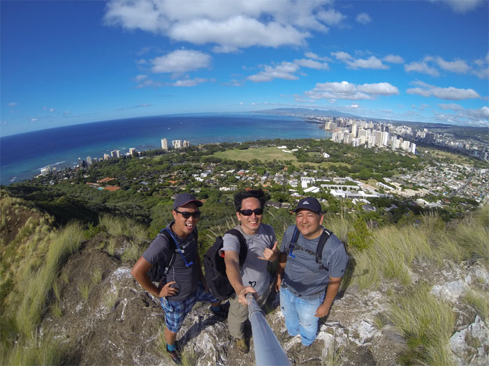
The sun was casting its reflection across the waters of Waikiki.
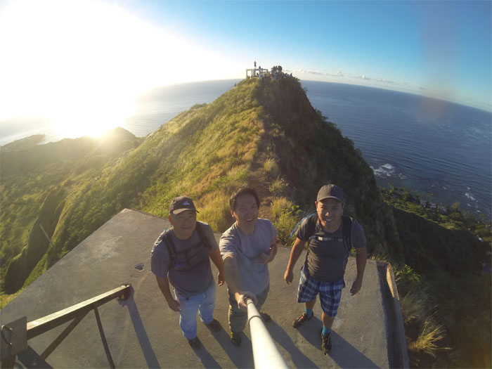
Lots of leg room here. Group photo left to right: Glenn, myself and George.
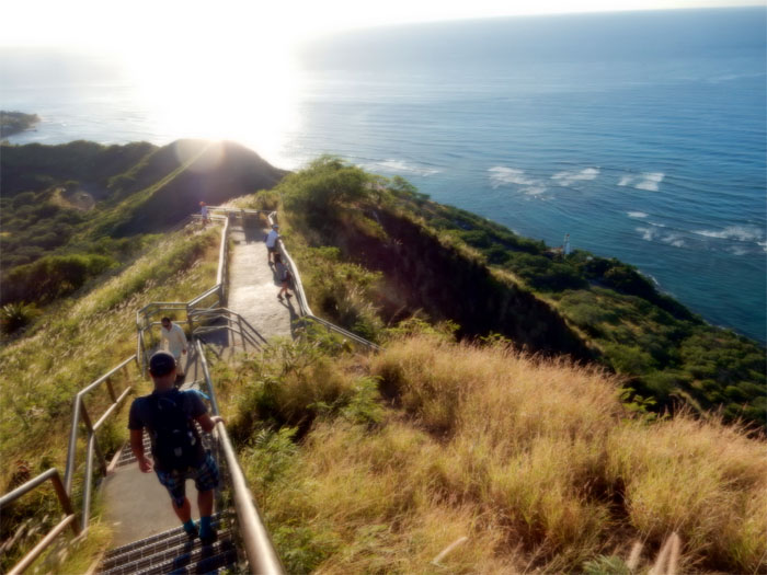
We went down the stairs to connect back to the rim.
Looking back at the four level command post that was completed in 1911.
George on the ocean side of the rim.
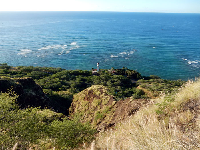
Keeping the ships away since 1899.
The last exposed bunker on the ocean side of the rim.
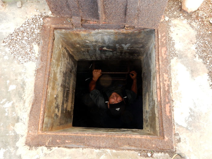
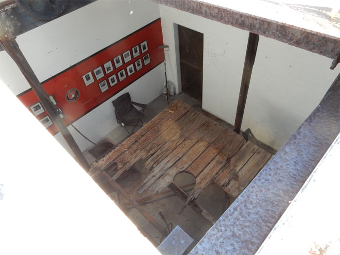
Glenn checked out the lower level of the bunker. No homeless reported. But we did see what looked like several homeless camps in the gullies of the outside crater.
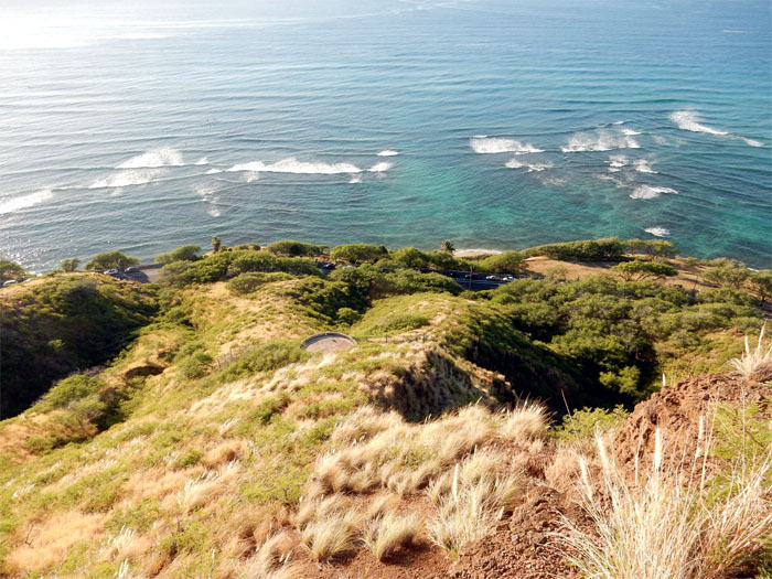
Looking down at one of the two bunkers that are emplaced below the rim on the ocean side.
The sun was slowly chasing the shade away.
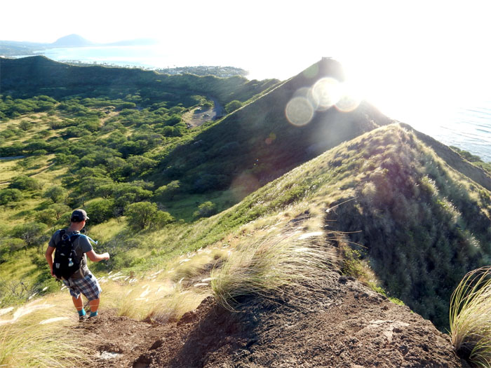
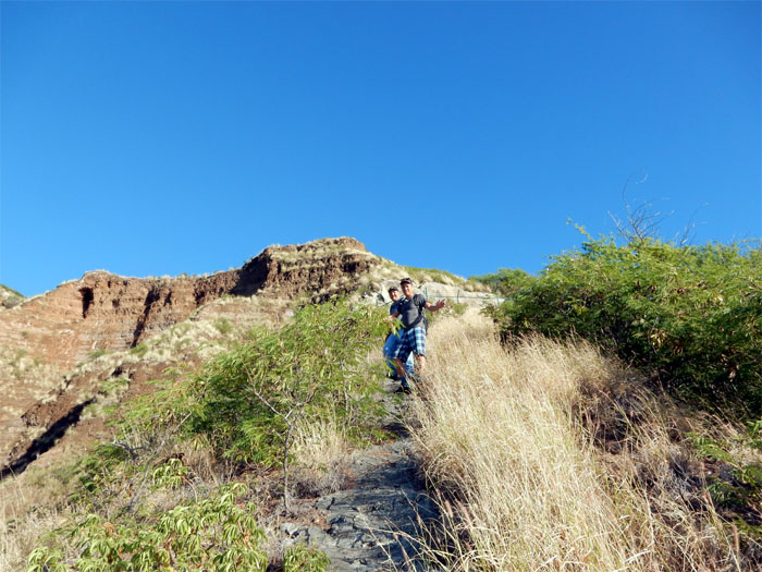
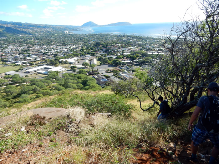
George and Glenn making their way down the loose and crumbly trail.
A roughly poured concrete strip goes down from the bunker to Diamond Head road. Read that people use this to run up to the crater rim.
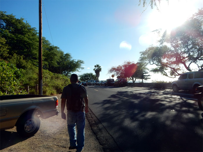
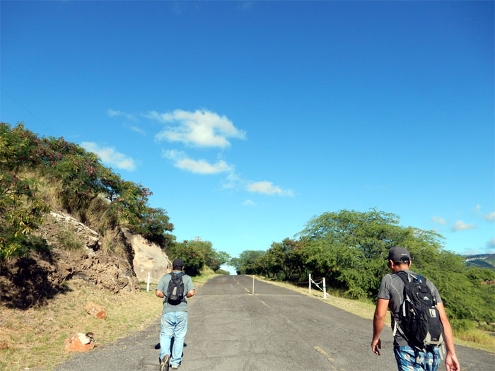
We popped out on the road and began walking to the next ridge that would take us back to the rim.
Figuring out which ridge to go up. A guy shouted to us that we were going up the wrong way and lots of people have been helicoptered out going this way. Really?
The two lower bunkers were heavily ringed with rolls of concertina wire which forced us to contour to the sides to avoid death by a thousand cuts.
Click here for the larger image.
It was getting hot on the exposed rim.
Looking into the last extant bunker that used to house one of six search lights.
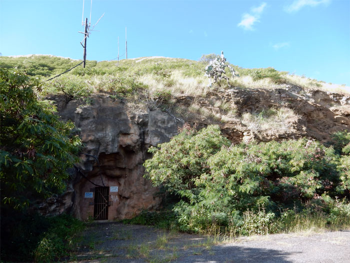
Followed the trail down between two former anti-aircraft bunkers that led us to the Kahala tunnel entrance.
Took a side road that hugged the crater.
One of seven storage tunnels bored into the crater walls.
The road eventually terminated and we followed the closest ridge back up to the rim.
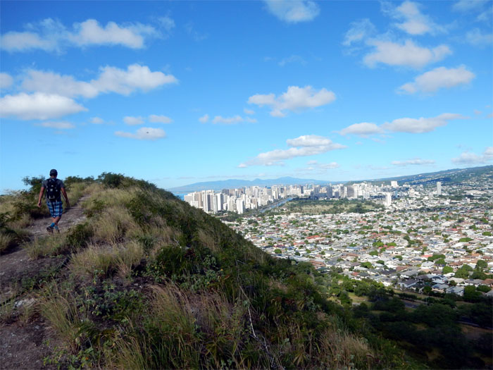
Looking at Ala Wai Canal, created in 1928 that drained the swamps and created the Waikiki that we know today.
It was a windy day on the rim. Claimed my boonie hat. Time to visit the surplus shop.
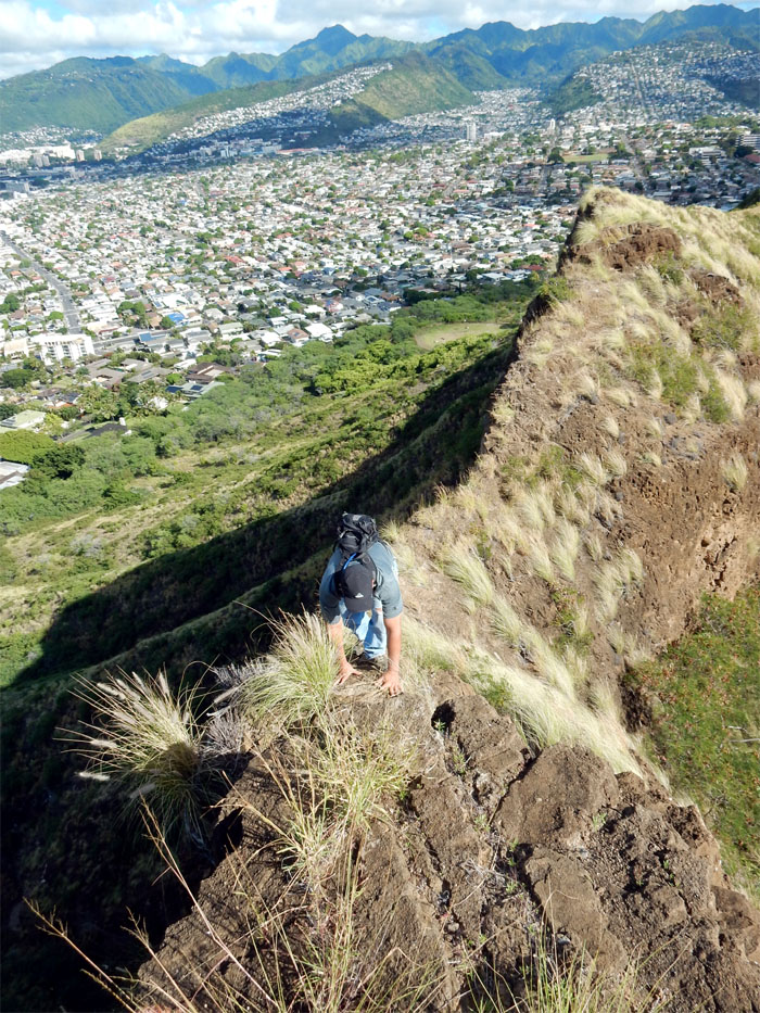
George going up a rock face on the rim.
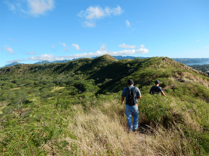
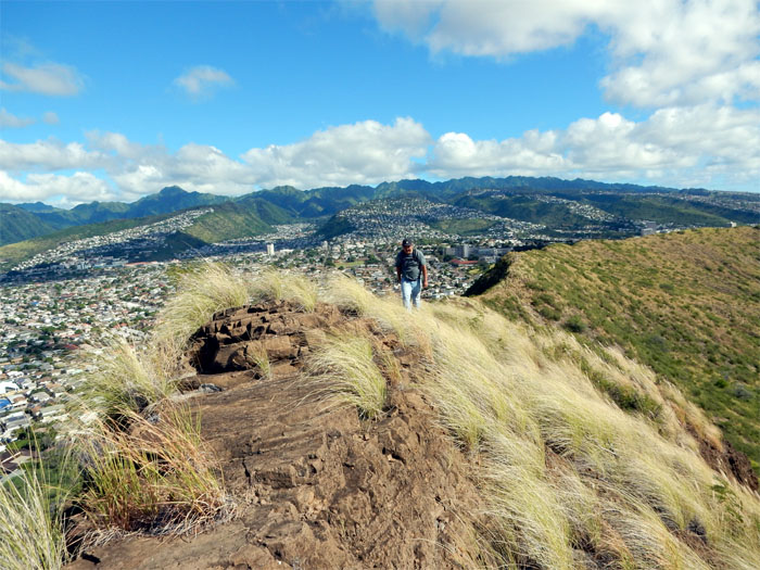
The Ko’olau mountain range in the background.
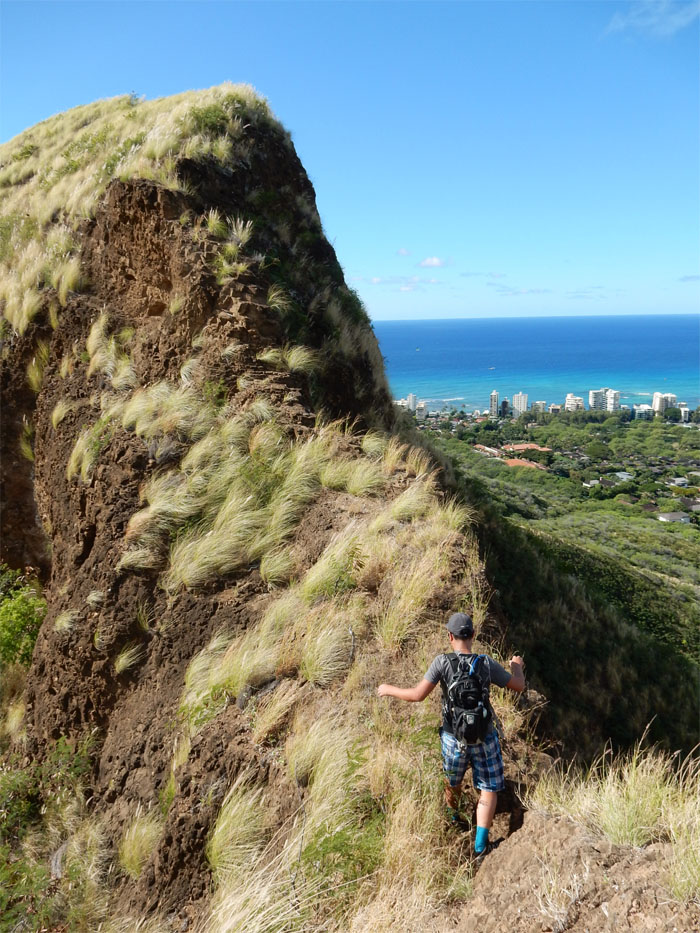
George traversing a narrow section of the rim.
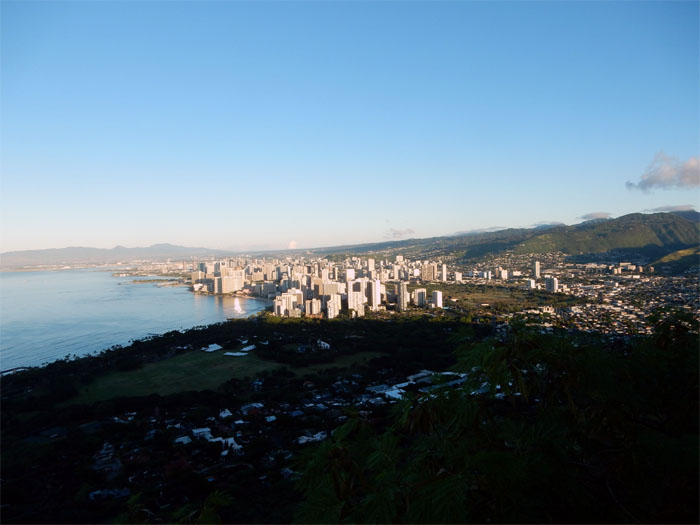
A sea of urbanization spilling from the mountains to the ocean.
George going across the last narrow rim section.
Views of Waikiki and the Waianae mountain range in the background.
We completed the rim loop at the lookout. More tourists.
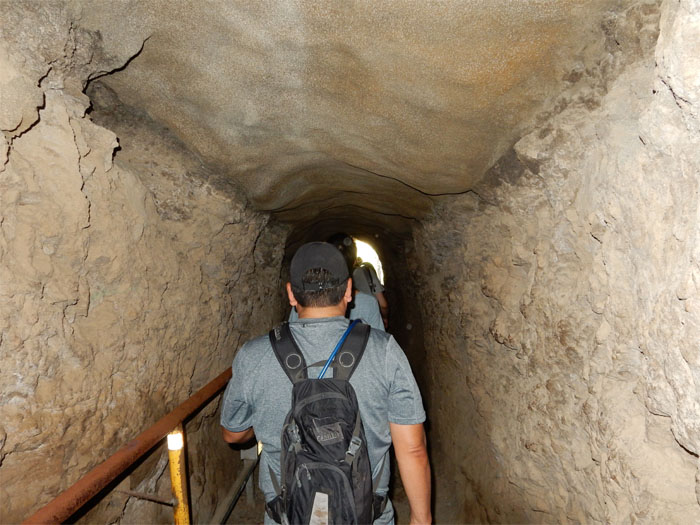
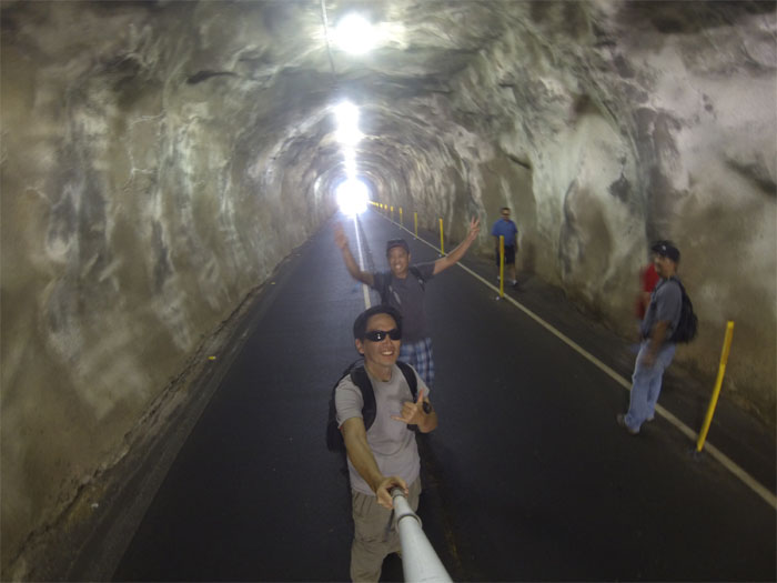
Glenn felt a little claustrophobic going through the dimly lit tunnel. Lucky it was a short walk.
It was a chore navigating the crowd of high heels, slippers and dress shoes.
Going out the Kahala Tunnel.
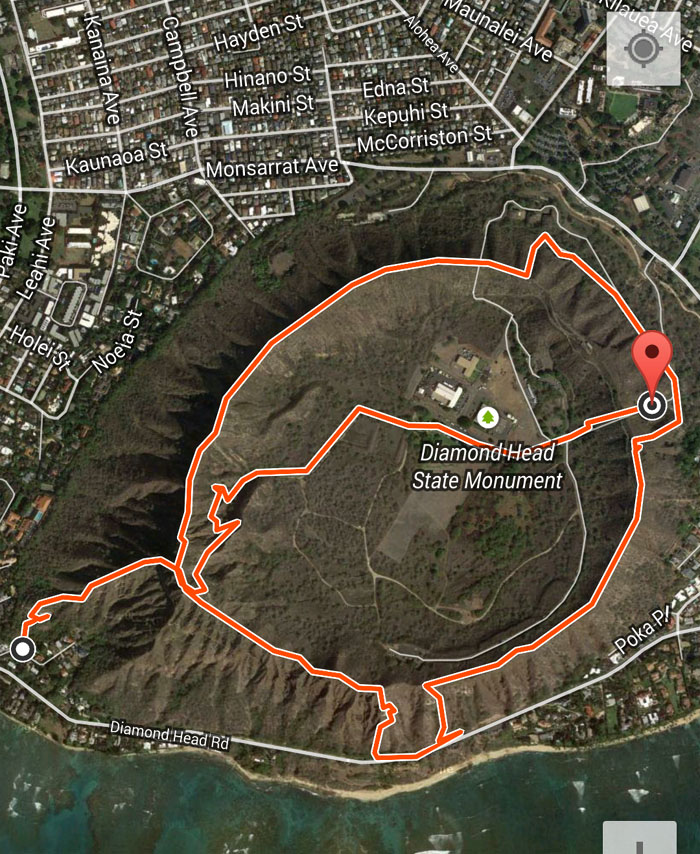
Hiking the crater rim covered 4.7 miles under hot, crumbly and fun conditions. So far, explored seven ridges and fourteen more left!




{ 8 comments… read them below or add one }
Did anyone give you any trouble doing this hike? I’d love to see more of Diamond Head.
Aloha Brandon,
Nobody gave us trouble, but I would not recommend hiking the rim as there are crumbly and narrow sections on the rim.
Mahalo
I had done the pit to the lookout hike and the concrete poured path and when we saw the bunker with the pictures on the wall, we went down the stairs and a bat came flying at our heads! Surely scared us! A little bummed that the pit is closed. New barbed wire, and a six foot tall as wide as you can see stack of dead thorn bushes. I guess you have to come down from the top now… One time we went from the concrete path all on the ridge to the lookout and then down to the pit, once we were down at the fence, we couldnt get passed the thorns so we had to get over the over hanged barbed wire, that was a pain! Loved seeing someone else doing the same things I do with my friends
Aloha Mason,
Thanks. Always good to hear from like minded folks. Yup, saw the stack of dead thorn bushes when we tried going up last year. Guess too much traffic, so they had to cut it off. Always fun exploring the island. Maybe we’ll bump into each other on the trails one day.
Mahalo
Which trail leads to the abandoned water reservoir (graffiti pit)?
Aloha Chris,
That trail is now closed off and virtually impassable due to the barrier of thorns and barbed wire.
Mahalo
Hey do you think you could email me about how to get to the Graffiti pit/abandon reservoir? Or comment back, because I am very interested in exploring it with my own method of photography.
Aloha Natalie,
The way I used to access that particular route has been closed off unfortunately, to my knowledge.
Mahalo