
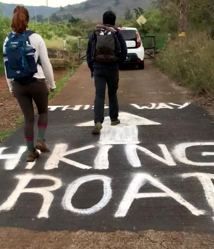
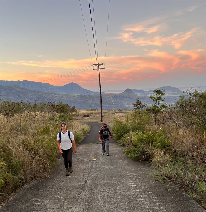
I decided to do another long haul hike back to back from coming off my camping weekend. I don’t want to get fat and lazy. Well maybe just fat. Thanks to Tessa for dropping Chris, Jen and myself off deep into Waianae Valley where the feral dogs still roam at will.
Waianae Valley
They must refresh the painting on the road every now and then. The message is always the same, but the delivery is slightly different.
Waianae Valley
Walking up the service road, our olfactory senses were dusted with a rustic mixture of smoke and shit.
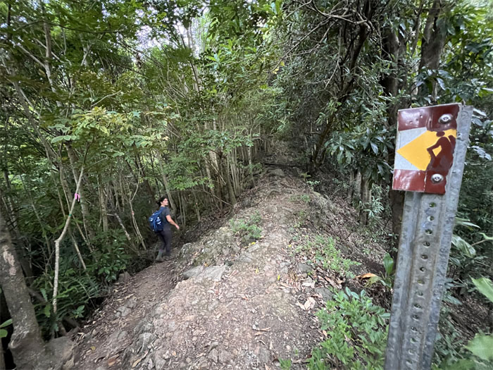
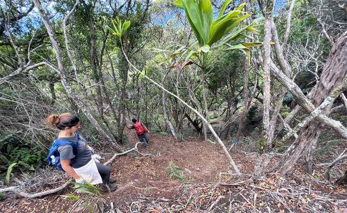
Waianae-Kaala Trail
Going down the trail to cross the dry streambed and making our way through the lowland forest.
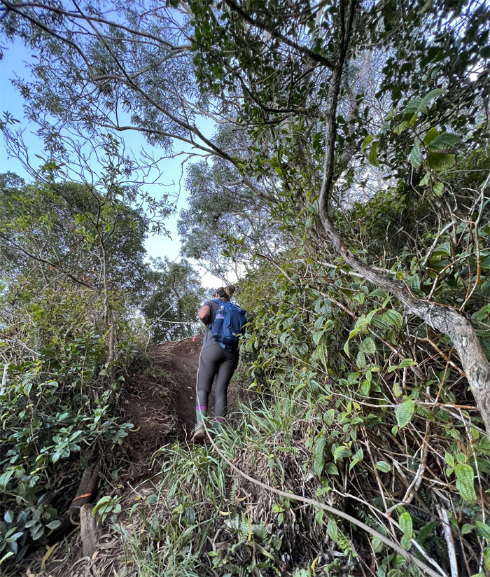
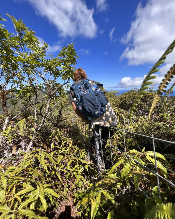
Three Poles
Jen pulling herself up to the ridge line.
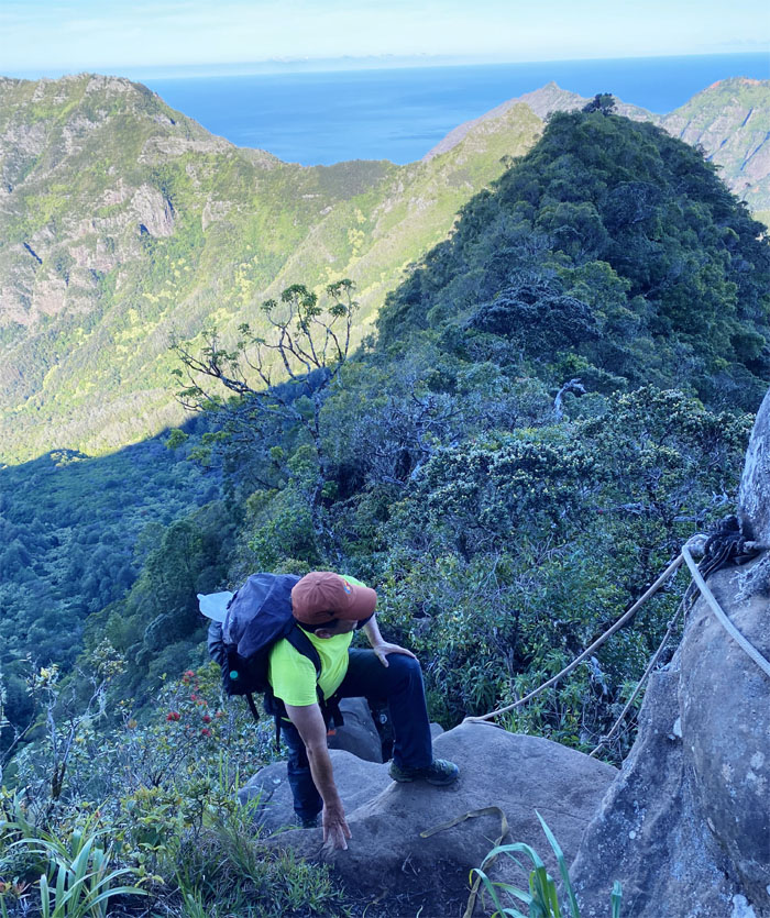
Waianae-Kaala Trail
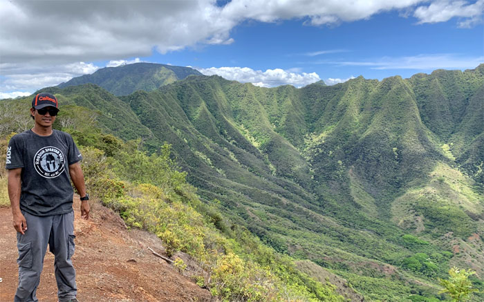
Climbing over the first boulder section with Kamaileunu and Ohikilolo ridges in the background.
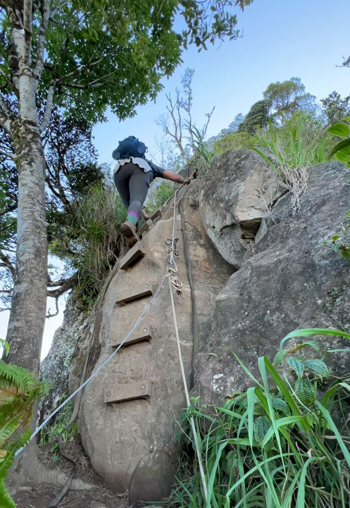
Waianae-Kaala Trail
Jen going up the ladder on the second boulder section.

Waianae-Kaala Trail
Working for that elevation gain.
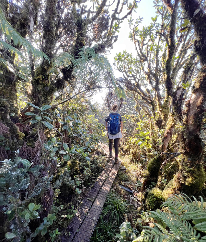
Mount Ka’ala
Walking through the native cloud forest, that was once home to a freshwater pond full of mullet and other fish.

Mount Ka’ala
The end of the roughly 3/4 mile walk through the stunted ohia forest that harbors endemic fauna and flora found nowhere else.
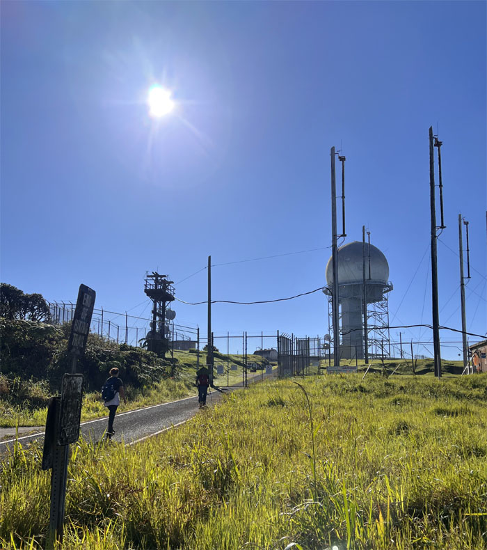
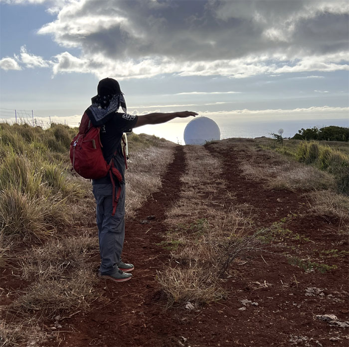
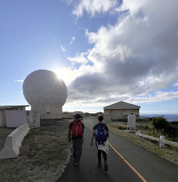
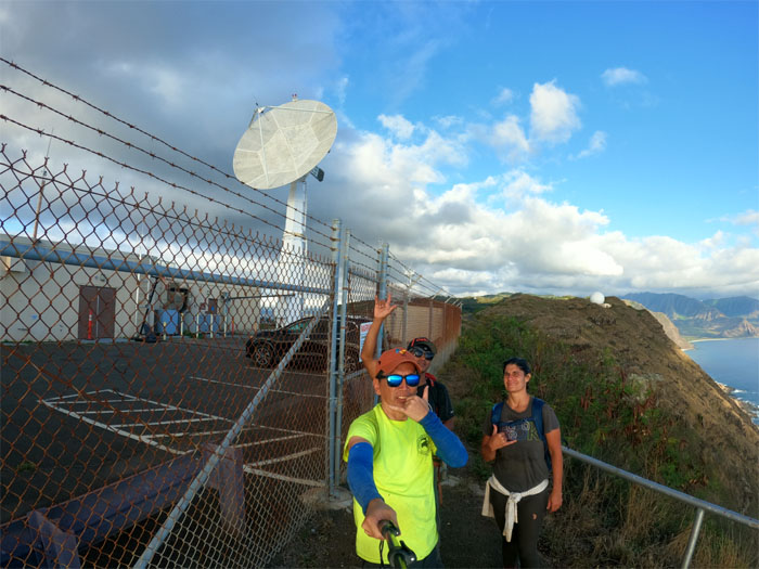
Mount Ka’ala
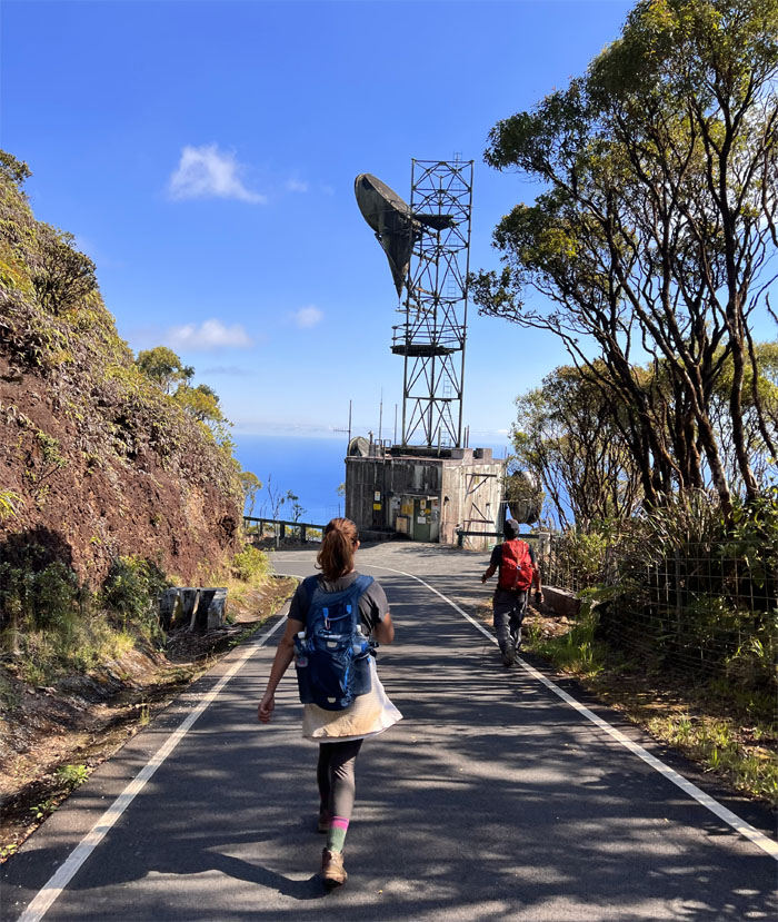
Skirting the radar tracking station that is operated by the HANG 169th ADS, to check out the mountain and coastal sights.
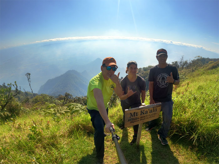
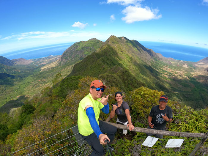
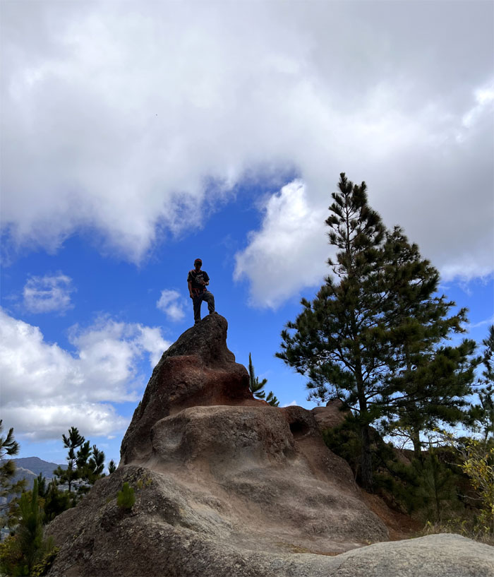
Mount Ka’ala
Group photo at the relatively new sign proclaiming the elevation at 4,026′, the highest peak on the island. Smoke from recent brush fires gave the surrounding skies a hazy veneer.
Ka’ala Road
Walking down the road that only a truck could love.
Ka’ala Road
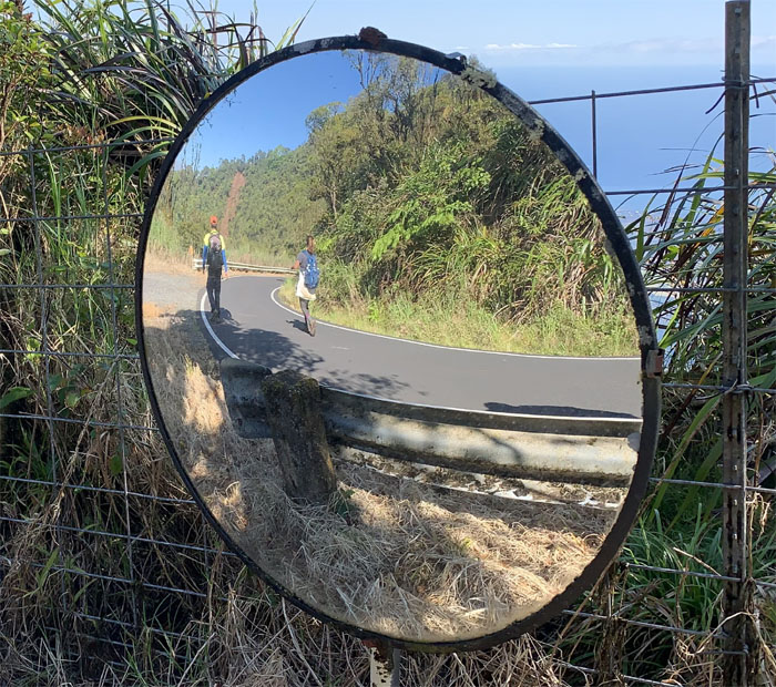
Road reflections.
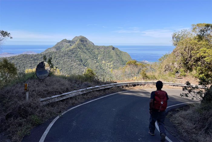
Ka’ala Road
The saving grace to the unyielding road was the postcard views that decorated the way down.
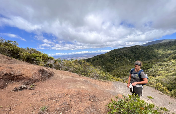
Waianae Summit Trail (WST)
We soon left the road and followed the fence line as it sliced an uneven corridor through the clawing and cloying uluhe ferns whose pollen was aggravatingly annoying.
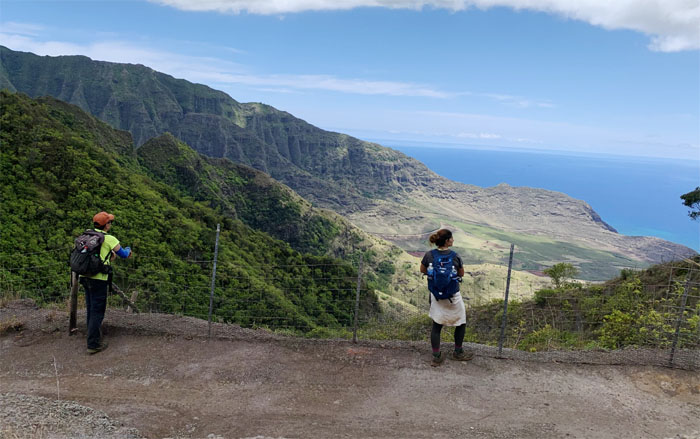
Three Corners
Group photo with Makaha and Makua Valleys behind us. I don’t have an Insta360 camera.
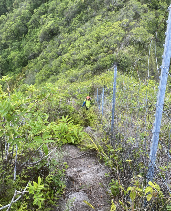
WST
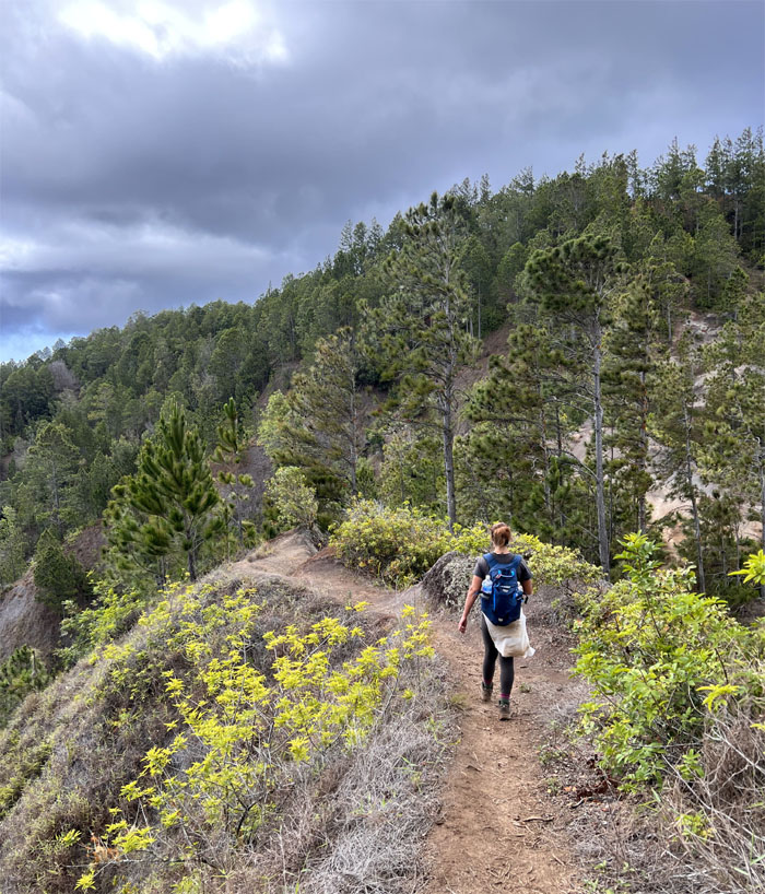
Following the fence line as it went up and down the highs and the lows on the ridge line.
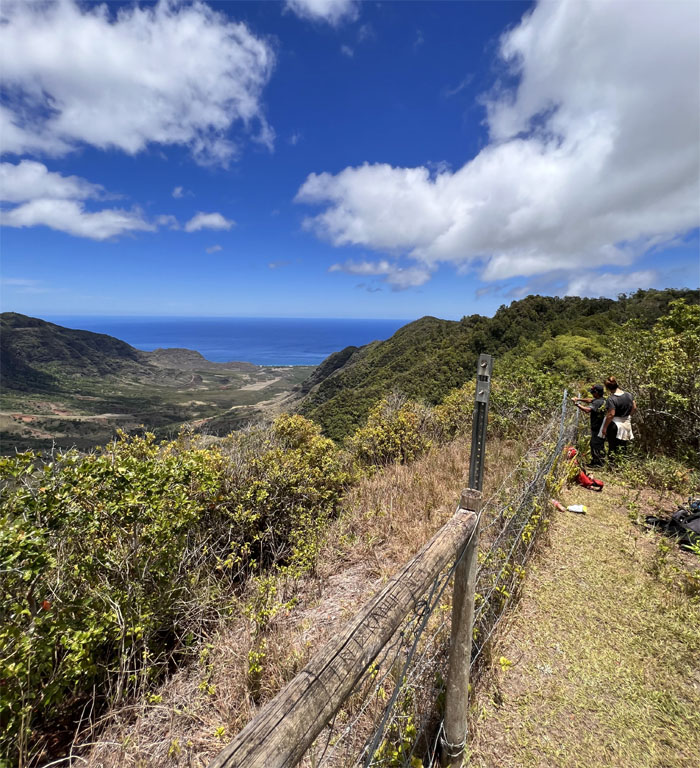
Mokuleia Bench
Approaching the overlook where we ran across a couple on their way to Three Corners, perhaps they had an Insta360 camera and another individual who preferred to remain benched and came back for his hydroflask of … hot coffee on this hot day?
WST
Chris at the exposed ledge with the strikingly clear flat top mountain of Ka’ala and the fluted ridges that circled Makua Valley in the background.
WST
Switch backing our way down the hill that were festooned with blue flags and tinkling metal tags that marked endemic plantings?
WST
Jen snacking on the invasive strawberry guava plants that were sprinkled throughout the area.
WST
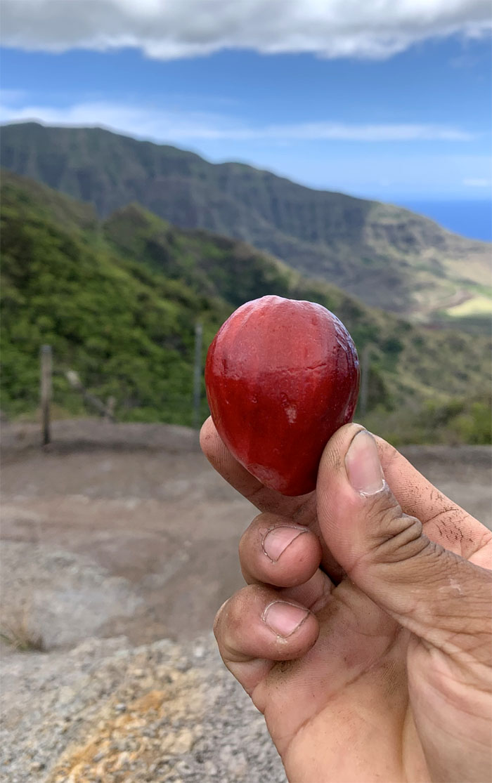
Thanks to Chris who brought us a bag of mountain apples or what I call nature’s hydroflask.
WST
Looking into the valley where ancient Hawaiians believed man was first created. Now the same man can’t step foot into this deceptively looking valley strewn with unexploded munitions dating back to WW2. The lease runs out in 2029, let’s see if the US military will give the land back to its rightful owners.
WST
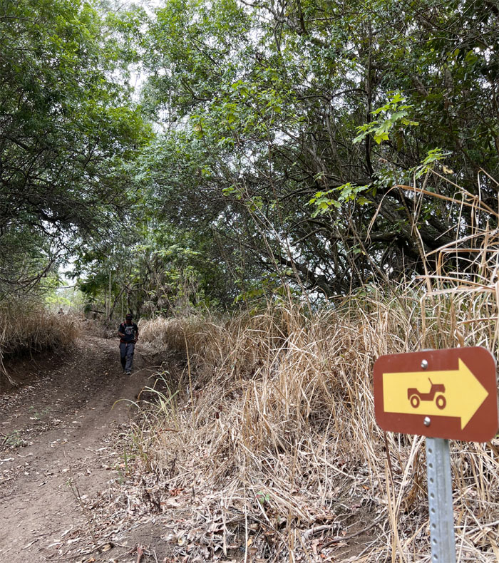
Meeting up with the jeep road where we ran into several trucks making their way to Peacock Flats. No sparkling water was handed out.
WST
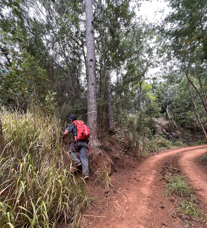
Leaving the jeep road for the fence line. One of the constants when hiking in Hawaii.
Kuaokala Trail
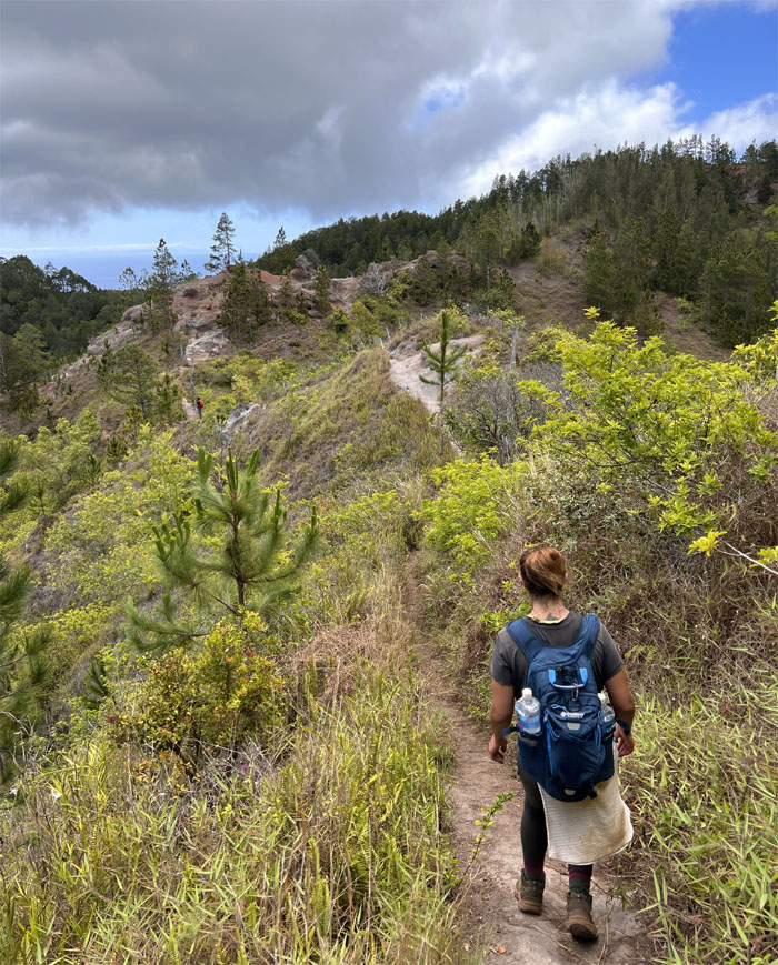
Following the fence line for the last time on the trail as it bordered the valley on one side and pine forests on the other side.
Kuaokala Trail
I heard rumors that Johnny Depp purchased this particular rock and re-named it the Amber Turd Rock. It just could be an urban legend.
Kuaokala Trail
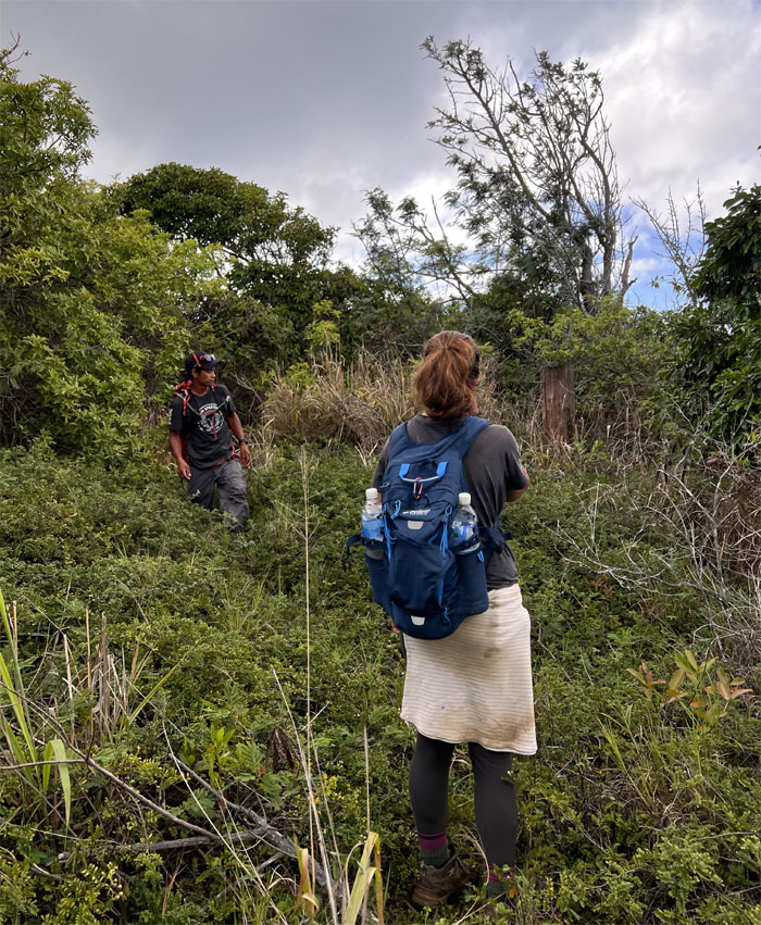
Making our way to the pine tree forest, where we ran across another hiker who was seemingly picking flowers.
Kuaokala Trail
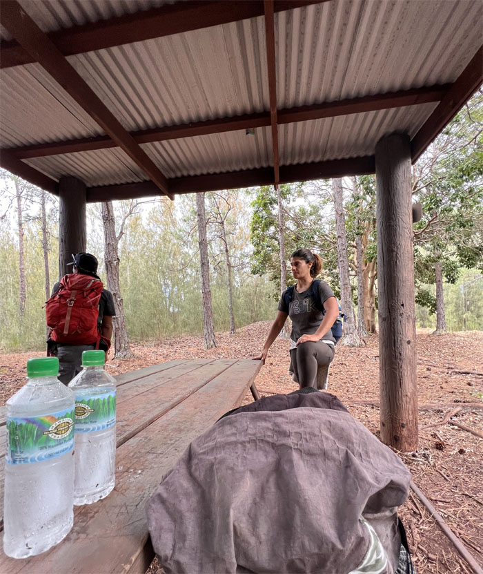
Our last pit stop as we took stock of our water and food supplies. Good to go.

Kuaokala Trail
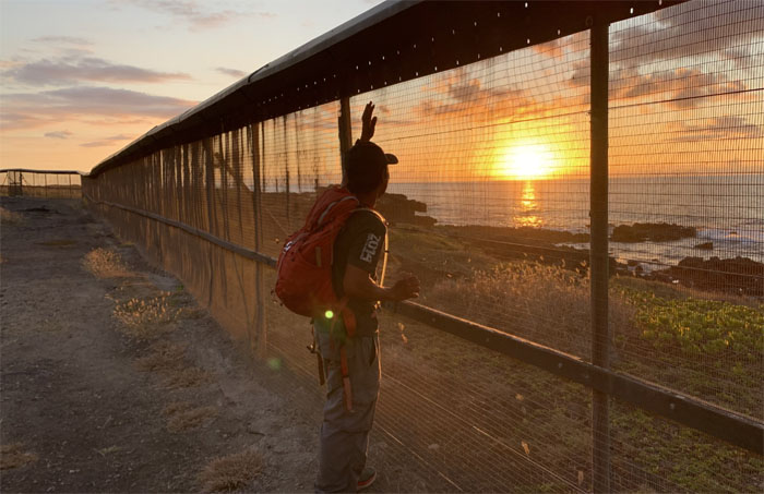
Heading off the reservation.
Kaena Point
Are we on trail or off trail? Safe or not safe?
Kaena Point
Chris couldn’t decide whether to dribble or do a chip shot.
Kaena Point
Walking on the road that gives you ten minutes of self-induced anxiety.
Kaena Point
End of the road for us. Big sigh of relief.
Kaena Point
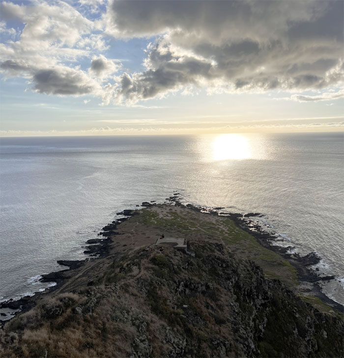
Going down the point that is believed to be the jumping off point for souls leaving this world for the next one.
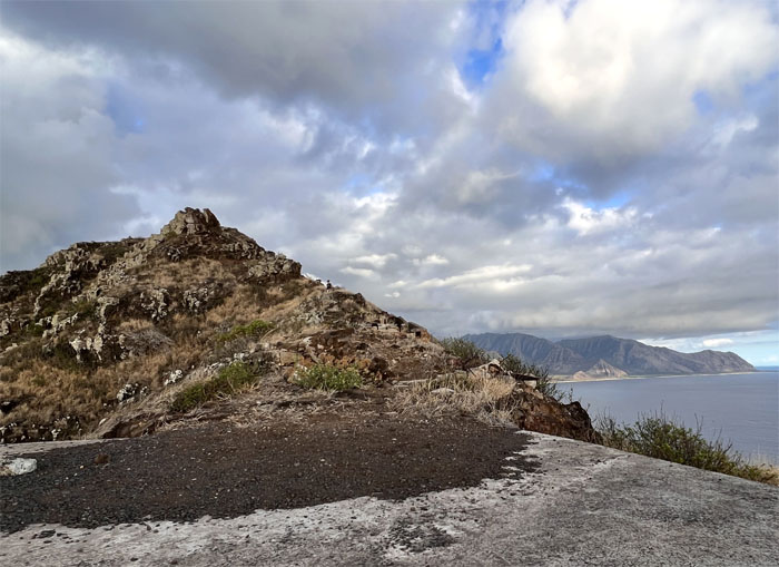
Kaena Point
Jen making her way down the rocky ridge punctuated with multiple bunkers from WW2.
Kaena Point
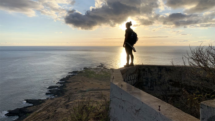
Silhouetted against the sunset.
Kaena Point
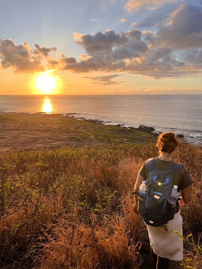
Approaching the bottom of the ridge with sunlight to spare. We didn’t want no random encounters with the huaka’i po or night marchers.
All pau
Chris waiting for the green flash. Mahalo to Edgar for grabbing us at the bird sanctuary gate which saved us over two extra miles of walking. The dogs were barking loud and clear for some of us.
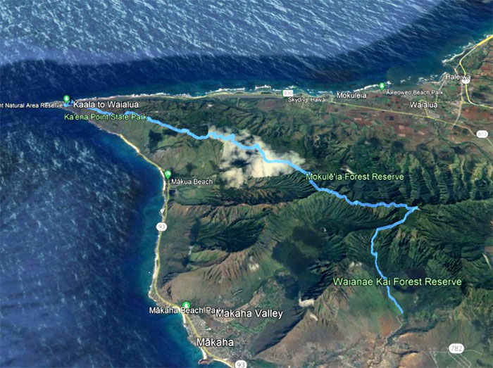
GPS Tracks
Our grinder of a hike covered 16.3 miles through the eroded remains of the shield volcano that is over 3 million years old. Post hike meal at the nearby beach where Cathy, Marilyn, Quan and Tessa joined and fed us with chicken papaya, summer salad and cold drinks. Much appreciated guys.
Photos taken by Chris Bautista, Jen Odence and yours truly. Not necessarily in order.
Note: I have been made aware that some hikers have been using my blog as a hiking guide and getting lost on the trails. Please note that this blog was made to document the hike for the crew(s) that did it. That is why some of my comments will seem to have no relevance or meaning to anybody outside of the crew(s) that hiked that trail. My blog was never meant as a hiking guide, so please do not treat it as such. If you find inspiration and entertainment from these hikes, that is more than enough. If you plan on replicating these hikes, do so in the knowledge that you should do your own research accordingly as trail conditions, access, legalities and so forth are constantly in flux. What was current today is most likely yesterdays news. Please be prepared to accept any risks and responsibilities on your own as you should know your own limitations, experience and abilities before you even set foot on a trail, as even the “simplest” or “easiest” of trails can present potential pitfalls for even the most “experienced” hikers.
{ 0 comments… add one now }