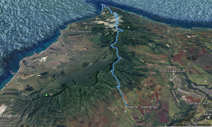
Gen, Jose and myself spent the Kamehameha Day Weekend hiking and camping on the Waianae Mountain Range.
Thanks to Ryan for dropping us off at Kaena Point, the jumping off point for departed Hawaiian souls and the starting point for our hike.
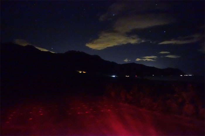
We walked past the slumbering fishermen and scrambled our way to the top of the blinking ridge.
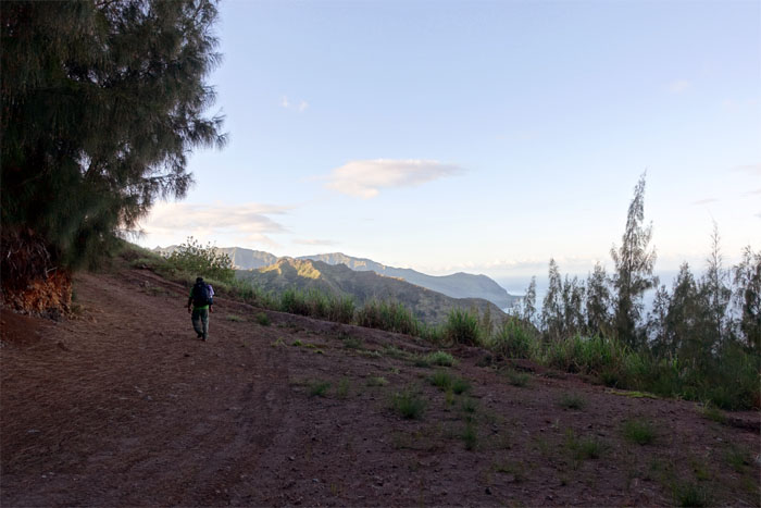
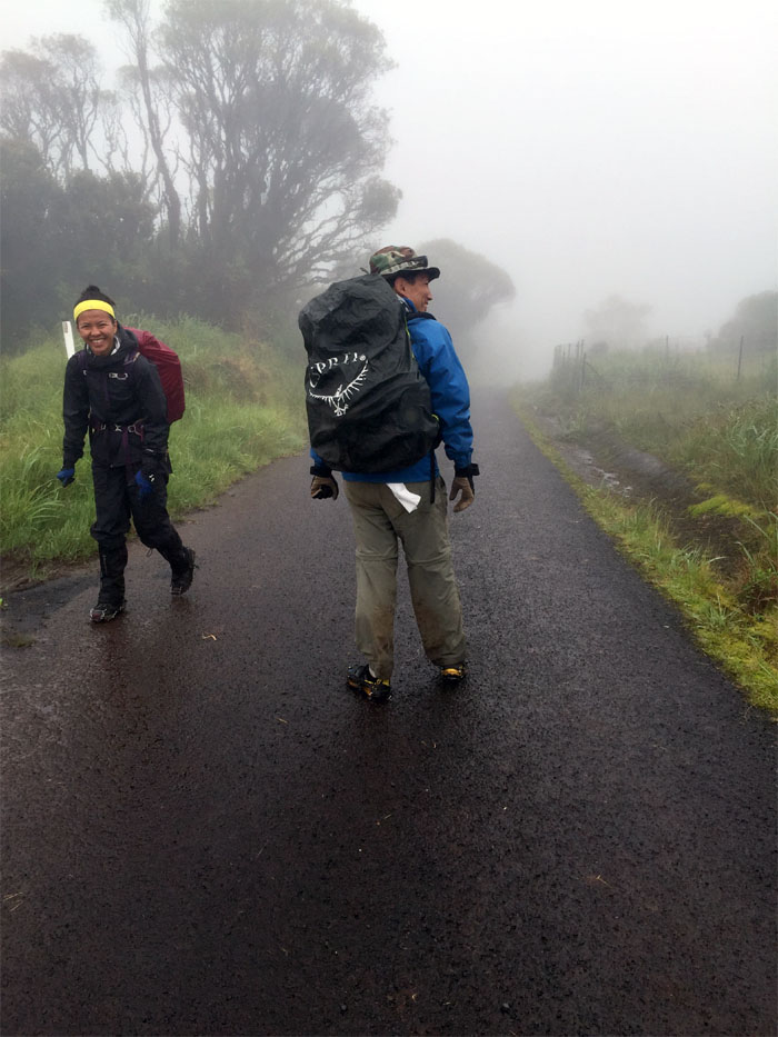
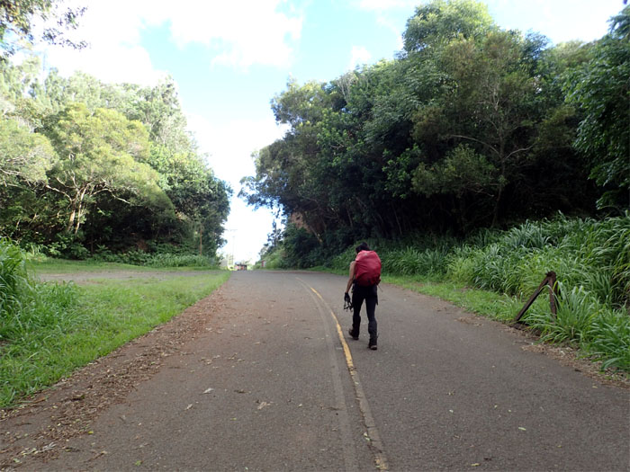
Hiking on the road. Enjoying the level and compacted ground while it lasted.
We left the road for greener pastures. Only one cow sighted. He obligingly left the road for greener pastures as well.
Checking for traffic. JPO flashbacks. Photo by Genesaret Balladares.
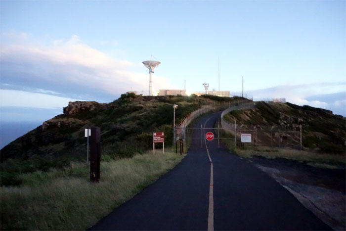
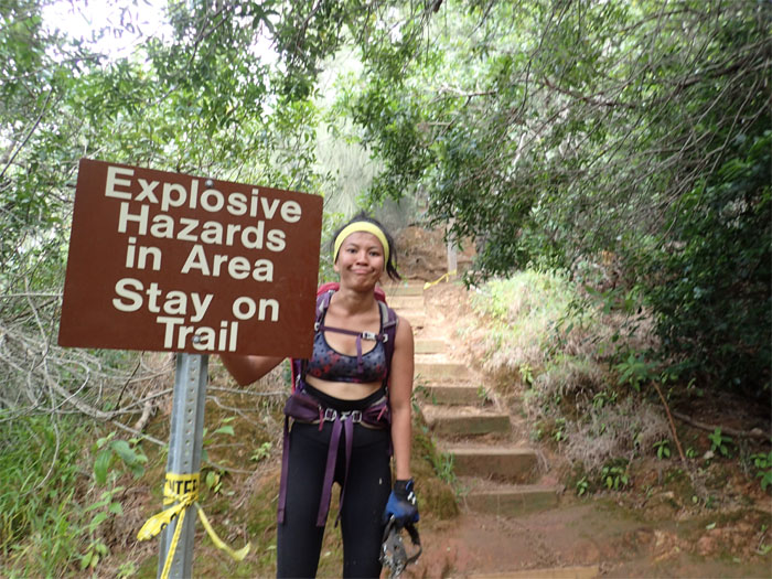
Have permit, will hike.
If we had a 4×4, it would have shaved a couple miles off the hike.
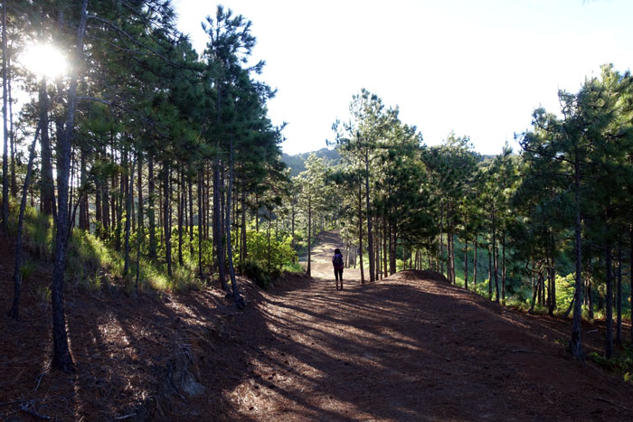
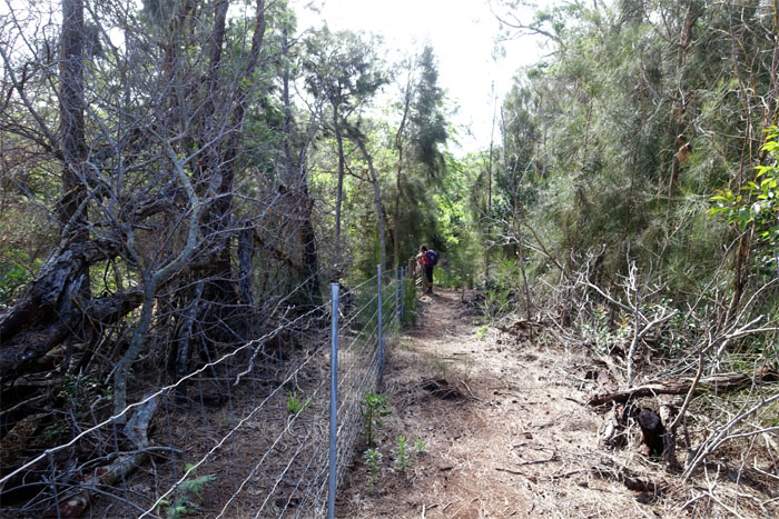
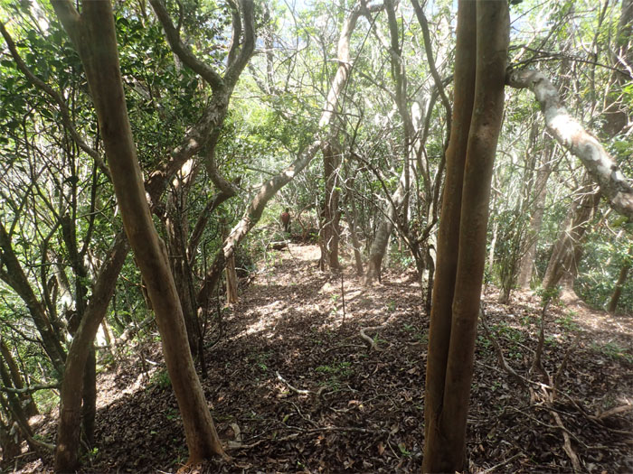
The sunlight being filtered by the tree lined trail.
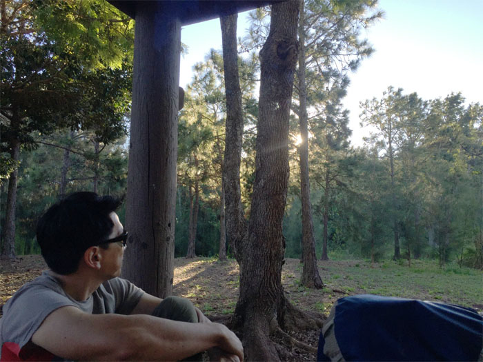
Enjoying the revenant experience at the picnic shelter. Photo by Genesaret Balladares.
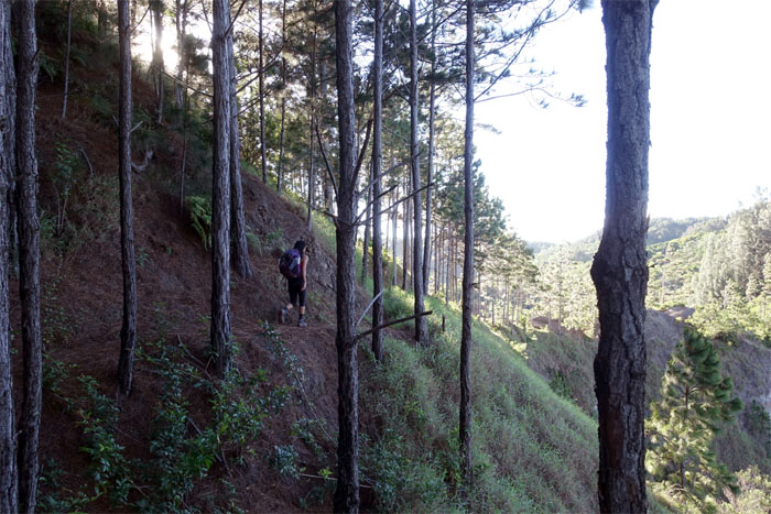
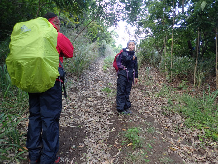
Gen and Jose rounding the trail that borders Makua Valley.
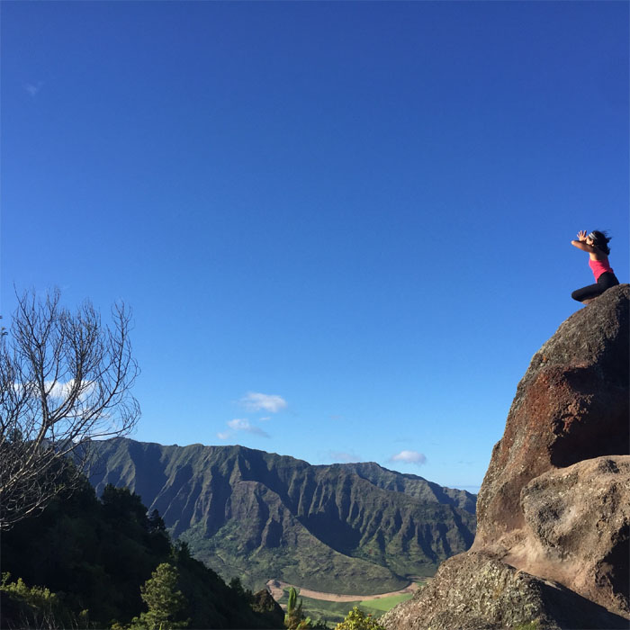
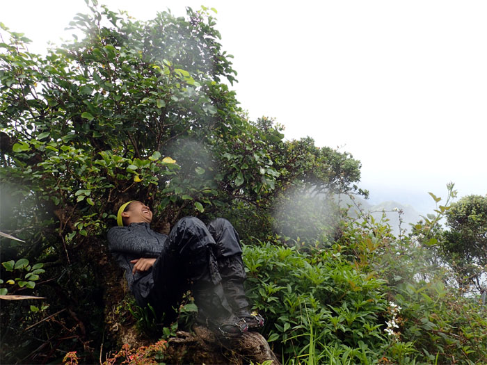
Rock yoga. Photo by Jose Luis Delaki.
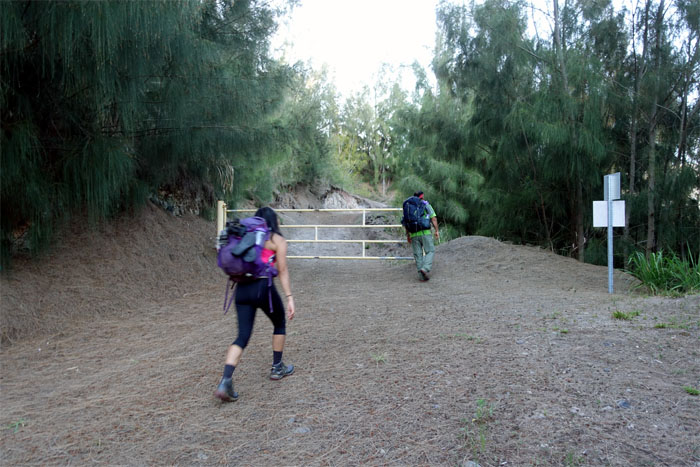
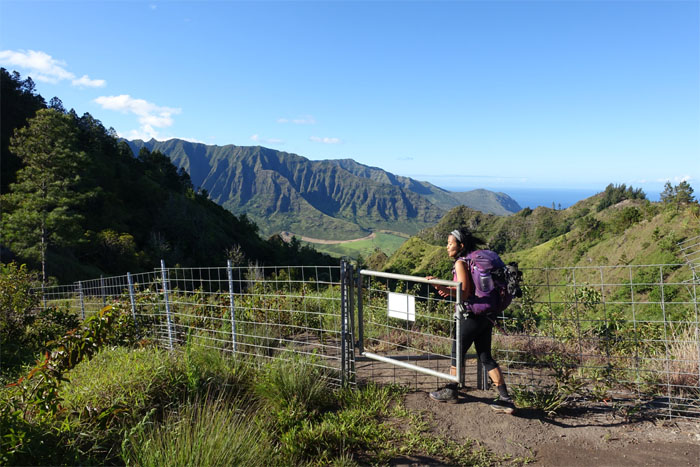
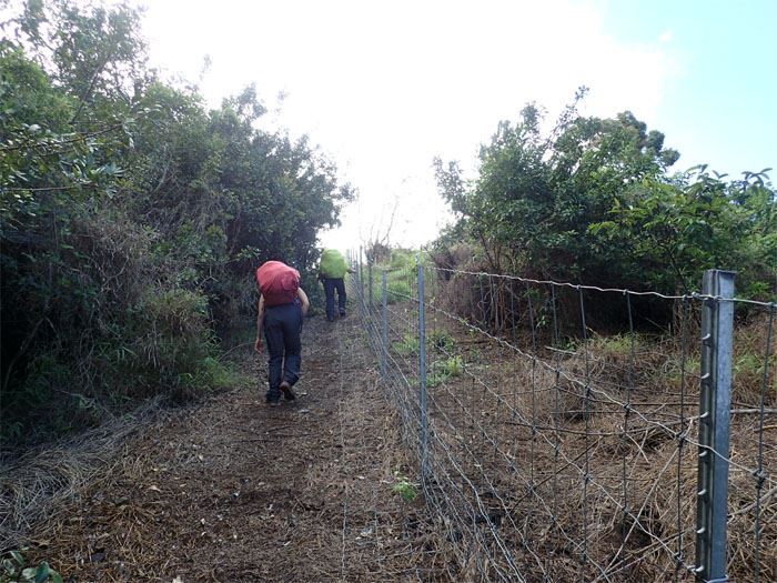
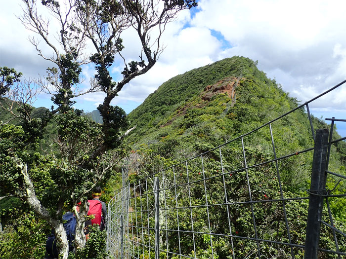
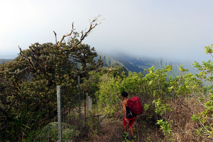
Our first contact and certainly not our last with the fence line on the trail.
The hike began to slightly rollercoaster. Small ups and downs.
We left the fence and dropped down onto the jeep road.
Here comes the rain.
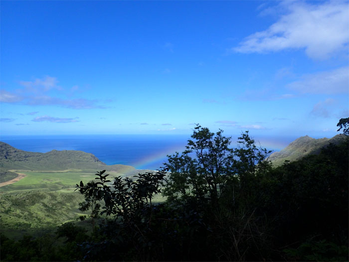
Rainbow in Makua Valley.
The rain left us as the hills took on a more pronounced grade.
No feet picture at the Moku geodetic marker?
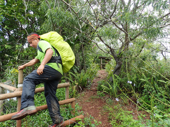
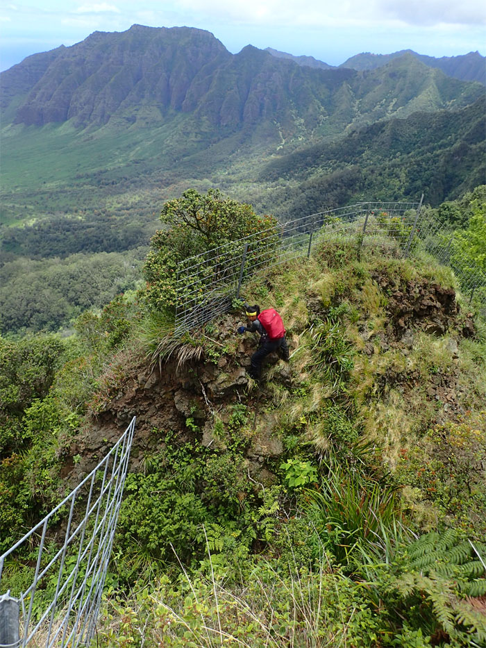
Jose hopping over the fence that is meant to keep out feral ungulates.
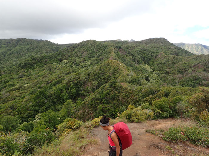
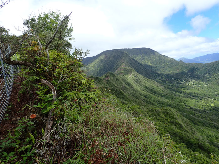
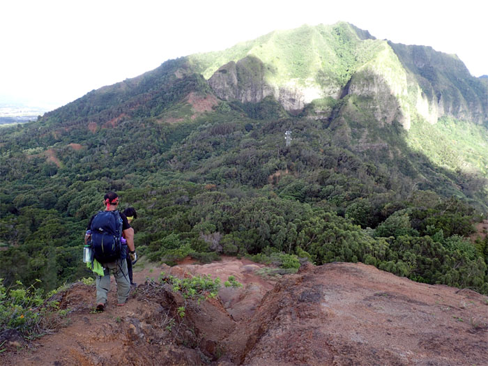
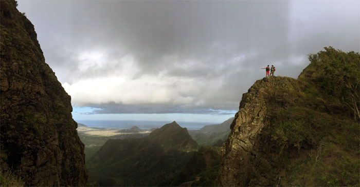
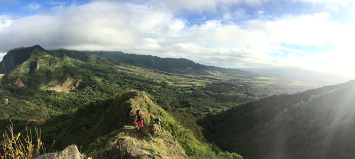
The trail soon opened up to reveal the wide expanse of the Waianae Mountain Range. Quite the sight.
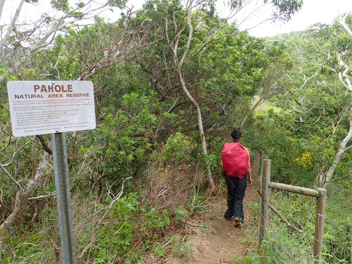
Passing through the 658 acres of Hawaiian endemic fauna and flora.
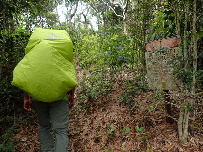
We had no plans to do any landscaping down in the valley.
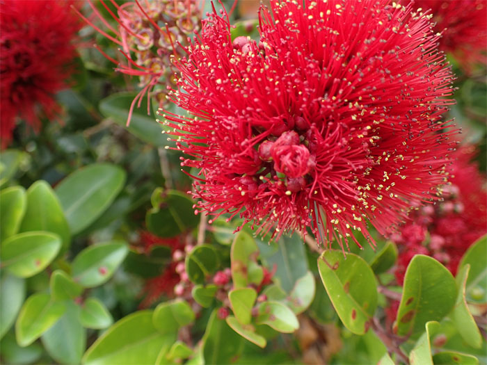
Densely packed red stamens of the ohi’a lehua blossom.
Panoramic view.
We had planned on taking lunch at the Mokuleia lookout but the weather was not cooperating. So we dropped down into the valley to seek refuge from the looming rain clouds.
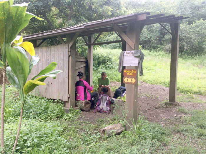
It felt good to have a rickety roof over our head as we ate our lunch in relative dryness.
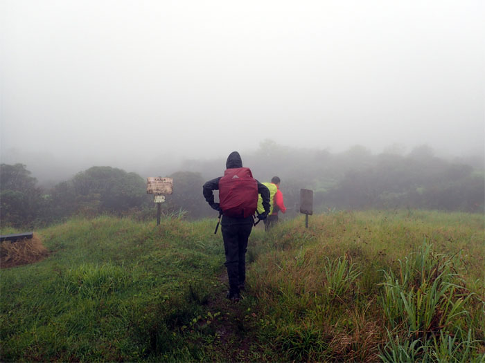
Back on the trail. Nice and clear.
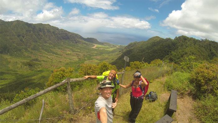
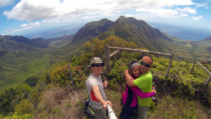
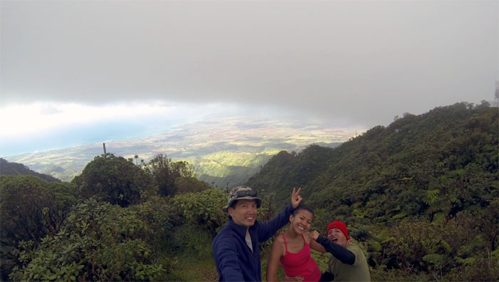
Group photo left to right: myself, Jose and Gen overlooking Makua Valley.
Almost there.
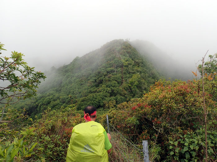
But first, we had to make our way up and down the overgrown trail that leads to the highest mountain.
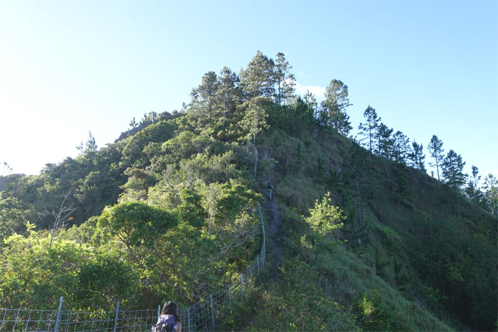
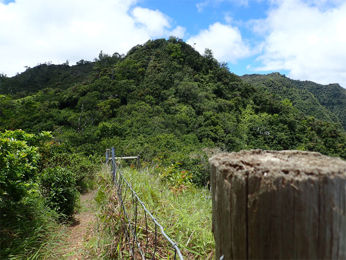
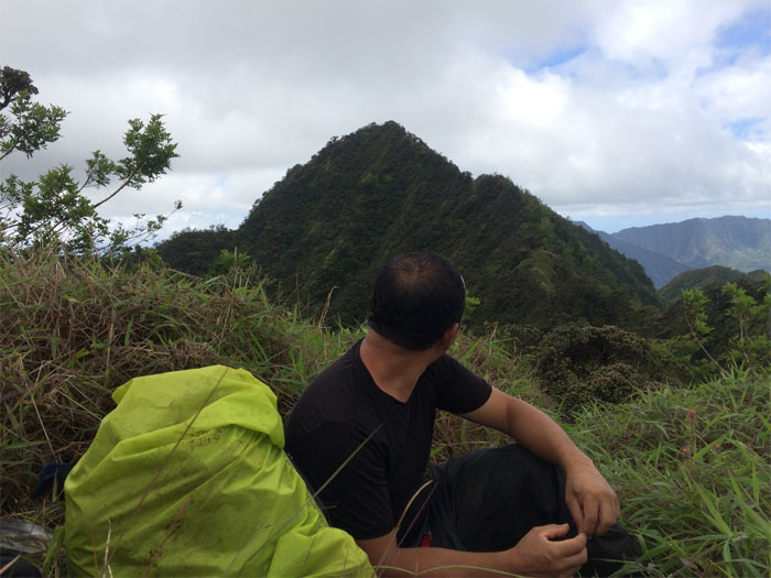
Looking ahead to the summit of Three Corners.
We’re here!
Group photo at the summit.
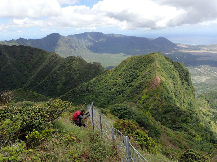
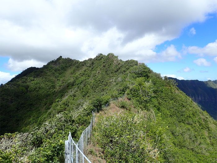
Now we had to just follow the fence on the ridge …
… that will take us all the way down … Photo by Jose Luis Delaki.
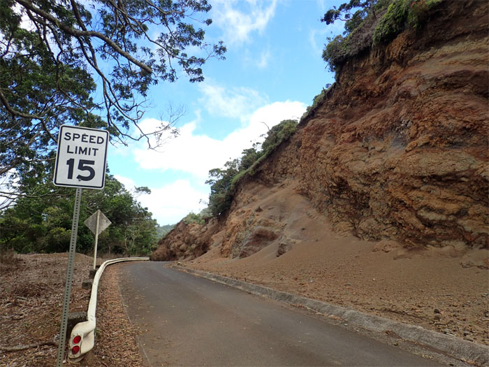
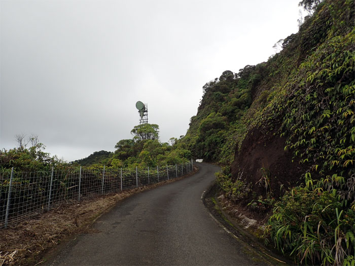
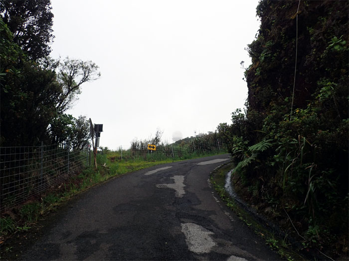
… to Mount Ka’ala Road. If you thought the road in Waianae Valley was bad, you haven’t walked up this road. Especially at the end of a long day and shouldering heavy packs. Talk about a slow cardio burn.
Sometimes you just have to get off the road. Photo by Jose Luis Delaki.
The monotonous road was tempered by magnificent views.
Every curve and bend on the road played with my mind as to how false summits does on a ridgeline. You think you are almost to the top. Think again.
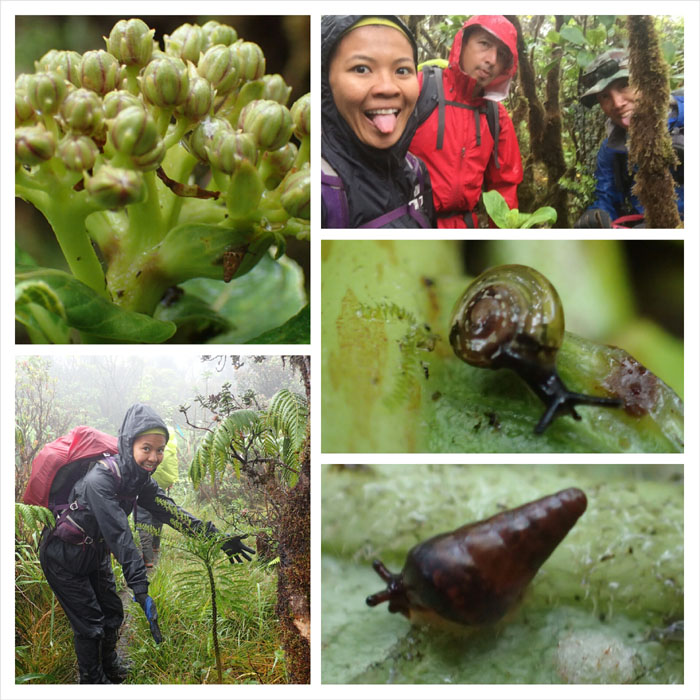
Look! An endemic tree snail up there. Don’t walk away. Just walk away mad.
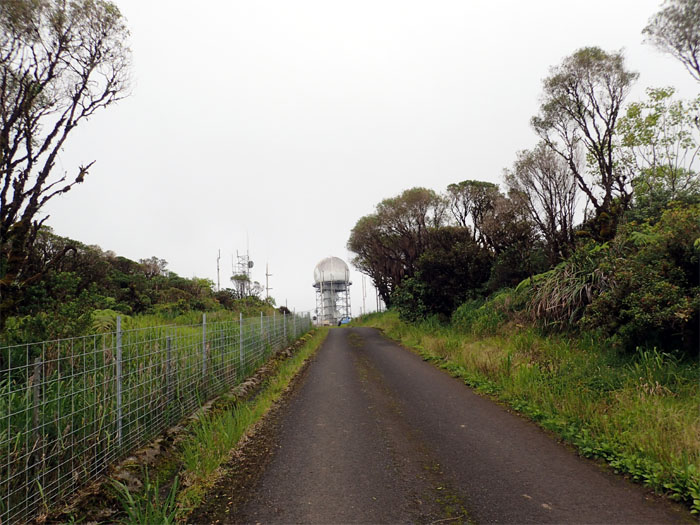
All roads lead to Mount Ka’ala. Well, at least this one does.
Our cloudy view of the North Shore.
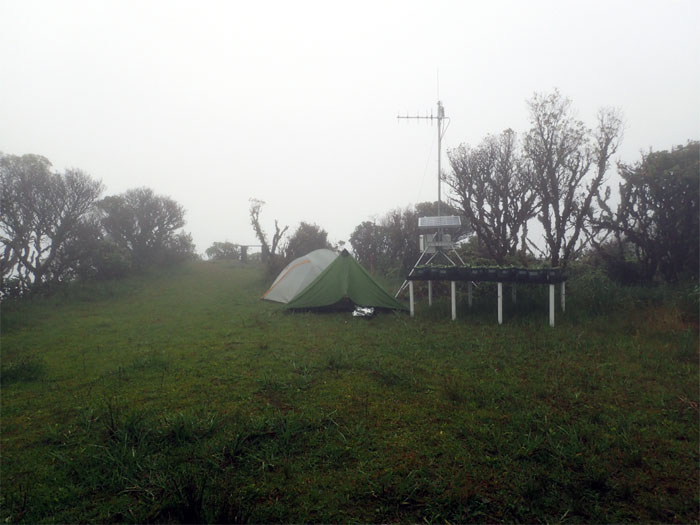
We spent the rest of our daylight hours making camp and dinner.
Good morning from Ka’ala.
Somebody used the public outhouse this morning. One guess and one guess only. Photo by Jose Luis Delaki.
Gen and Jose about to enter the Ka’ala bog.
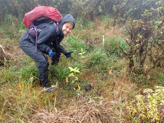
Gen checking in on her “plant.”
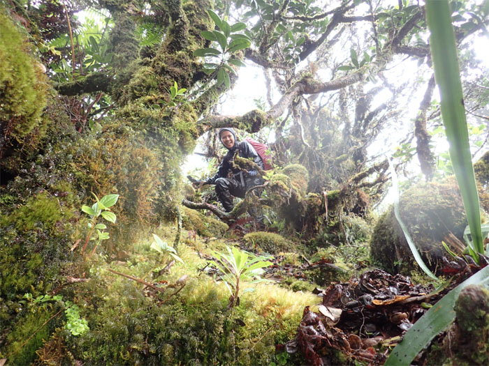
Life off the boardwalk.
We soon left the bog and began our descent off the mountain.
To climb down with or without our backpacks. Such was the question for the day.
Gen making her way down the rain slicked boulder section.
Jose crossing the boulder gap.
Don’t lean too far back.
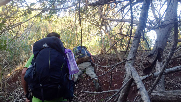
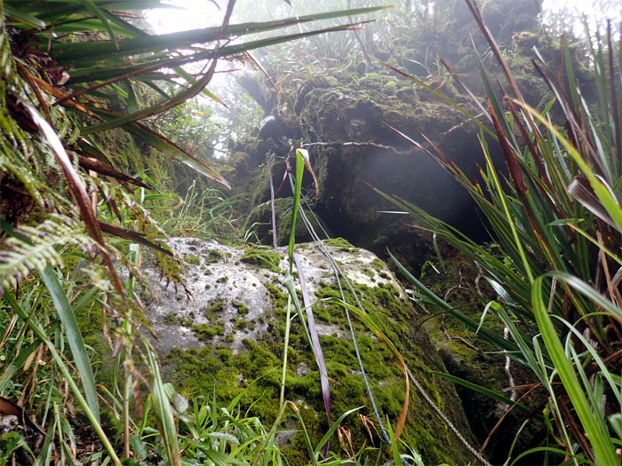
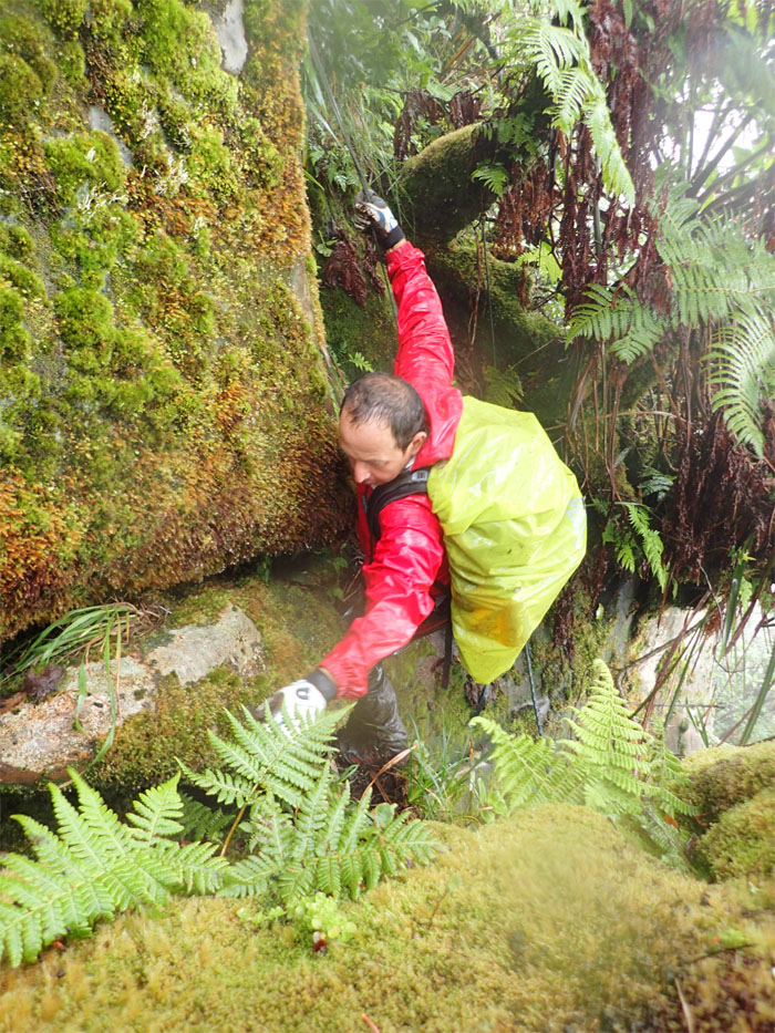
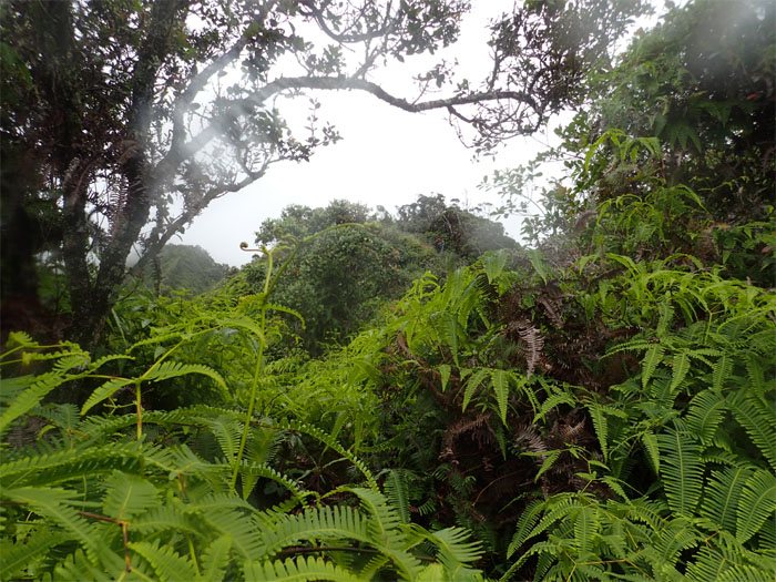
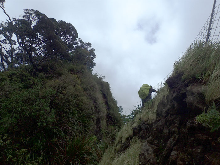
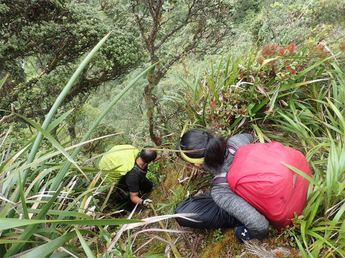
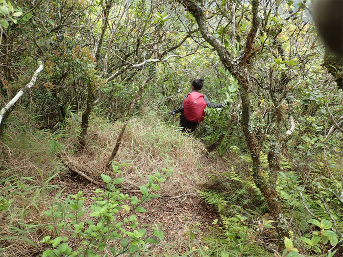
Who wants to go first? Heavy overgrowth from this point.
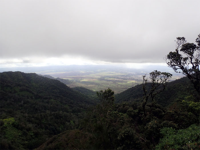
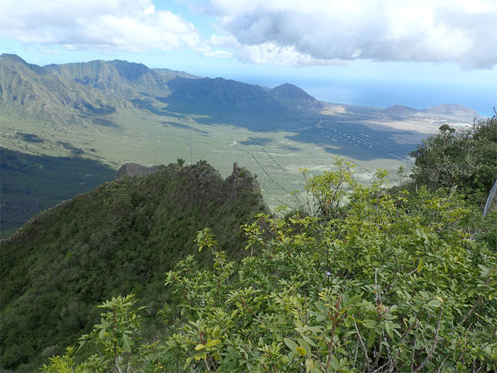
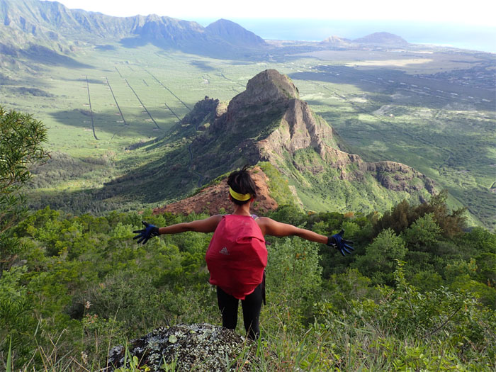
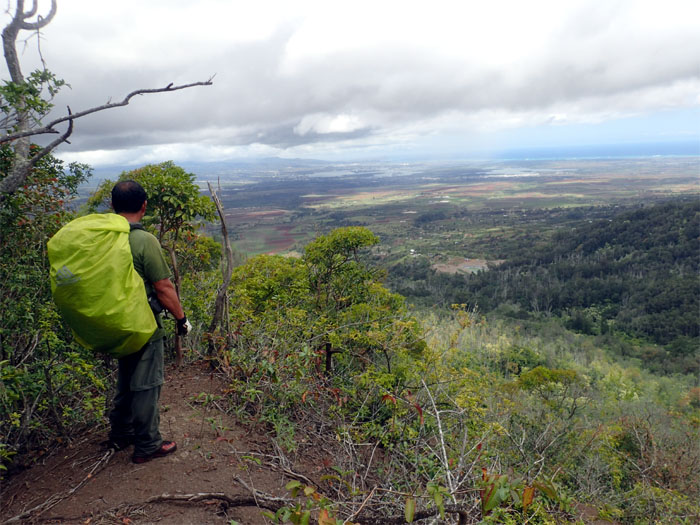
Looking out towards the central plain.
Heavy overgrowth of uluhell mixed in with blackberry thorns.
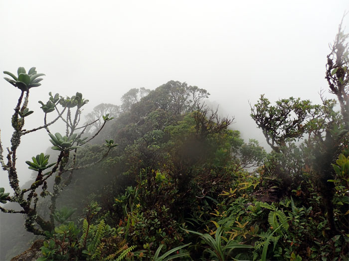
Looking back at cloud capped Mount Ka’ala.
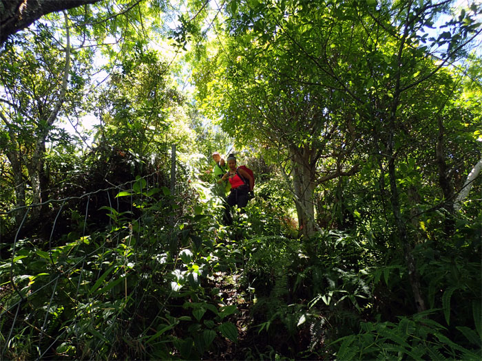
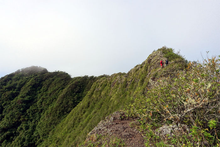
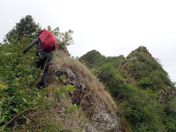
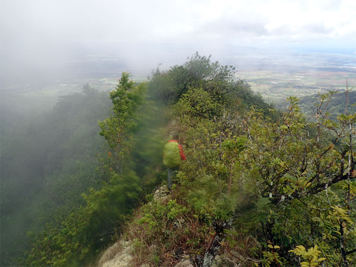
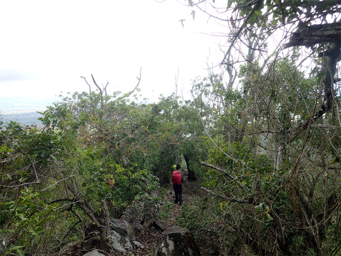
The trail started to get narrow in some sections as we forged ahead.
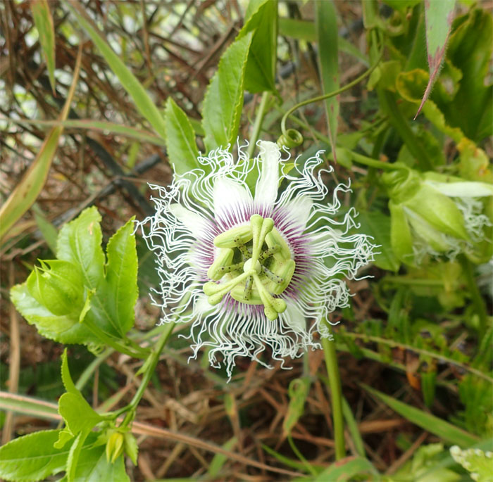
Lillikoi flower. Too early for trail snacks.
Jose crossing the gap in the trail.
Gen making her way across.
Jose about to drop down and swing over a narrow section.
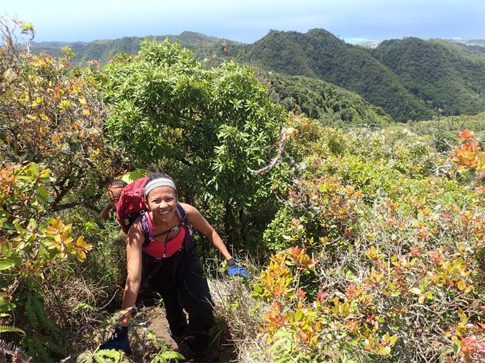
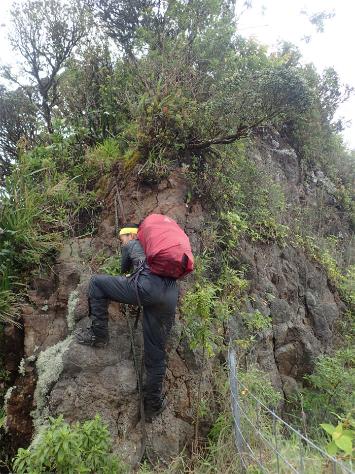
Gen climbing up.
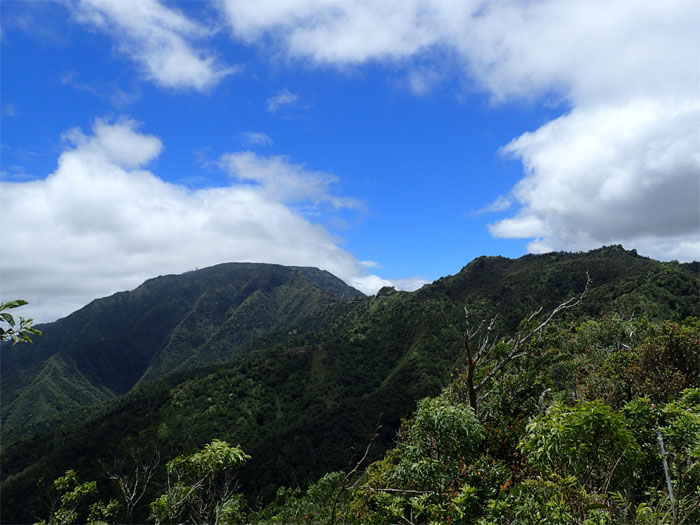
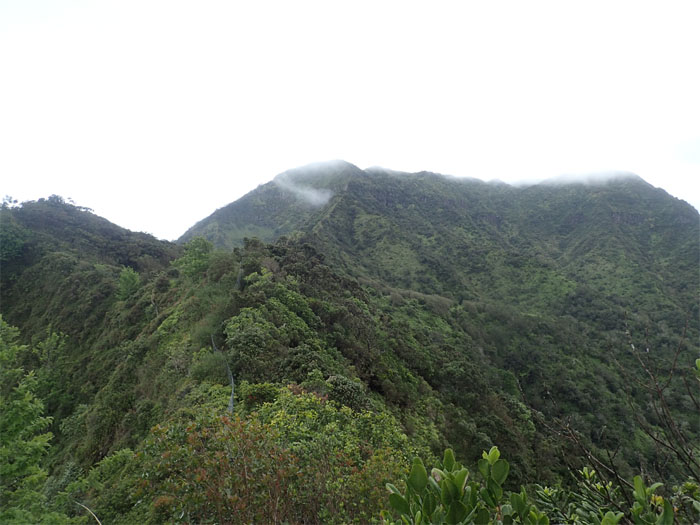
Jose looking at the second highest mountain on the island from the last false peak.
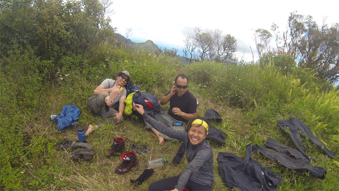
Group photo at the 3,504′ summit. Time to dry out our tents and feet.
Break over. Back to hiking.
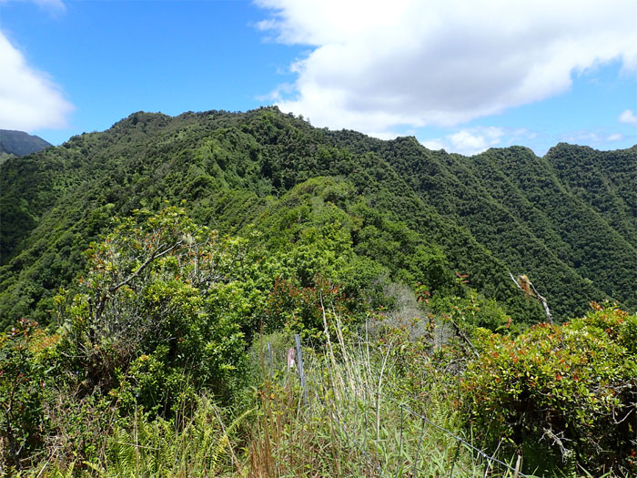
The overgrowth thinned out from this point, still there but not as pervasive.
However, the rollercoaster hike stayed with us.
This hike will develop your bushwhack arm and fence arm.
No sexxxy time today.
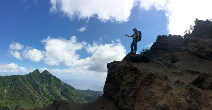
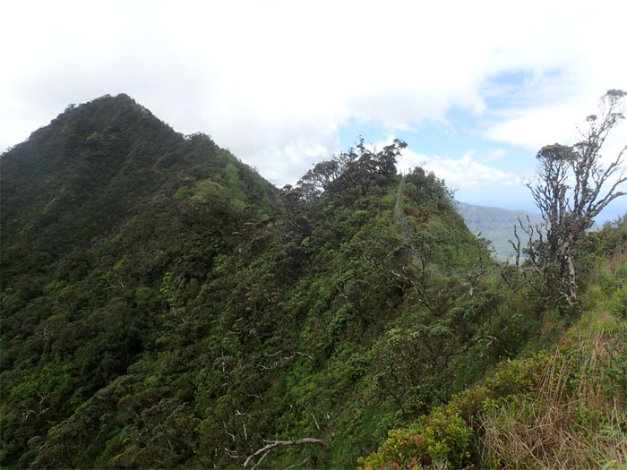
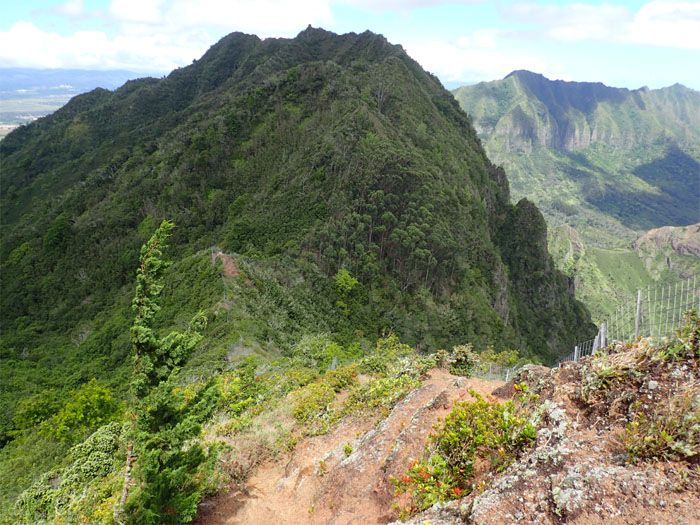
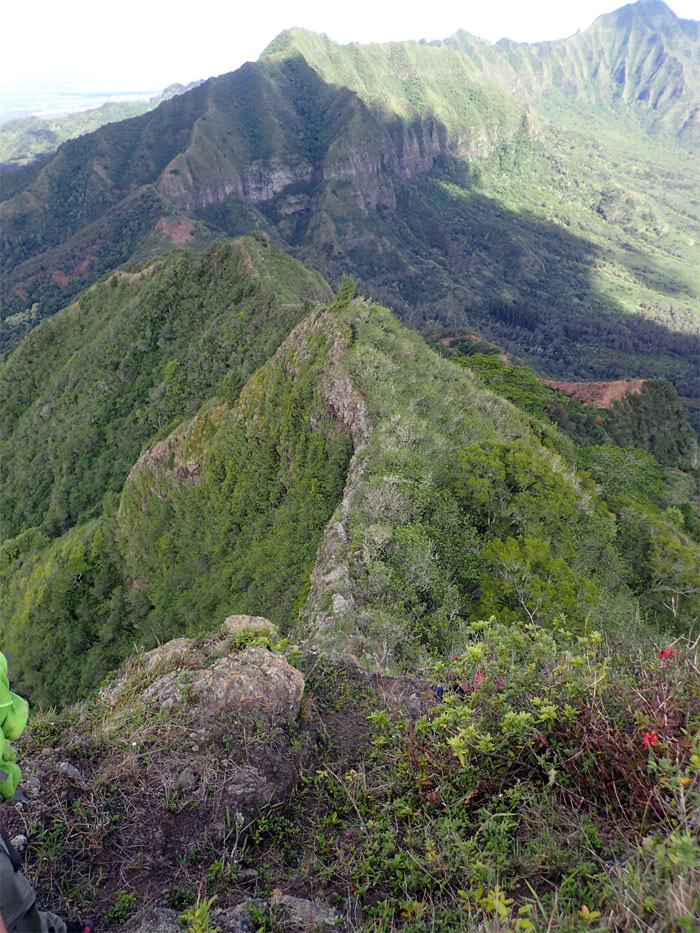
Approaching the narrow and rocky dike.
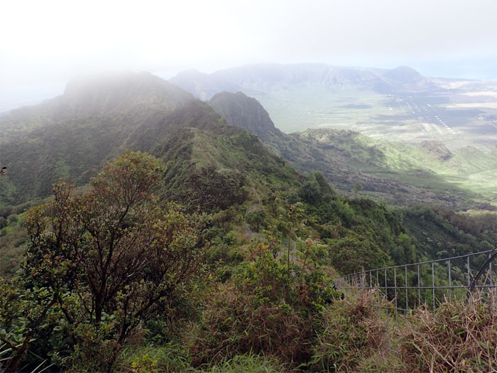
Looking out towards Pu’u Kalena and Ka’ala.
Nothing to see here. Facebook status checking.
All downhill from here.
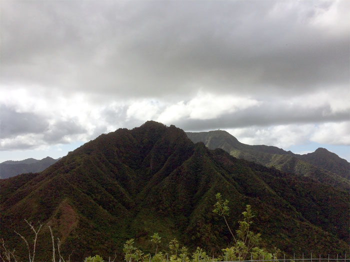
The forbidden mountain.
Looking for Martians.
Where’s the crosswalk? Safety first. Lowest point on the Waianae Range.
Watch your step.
Meadow view.
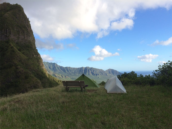
Set up for the night. Pigs are not welcome.
Tobacco – breakfast of hikers.
Headed towards Pu’u Hapapa.
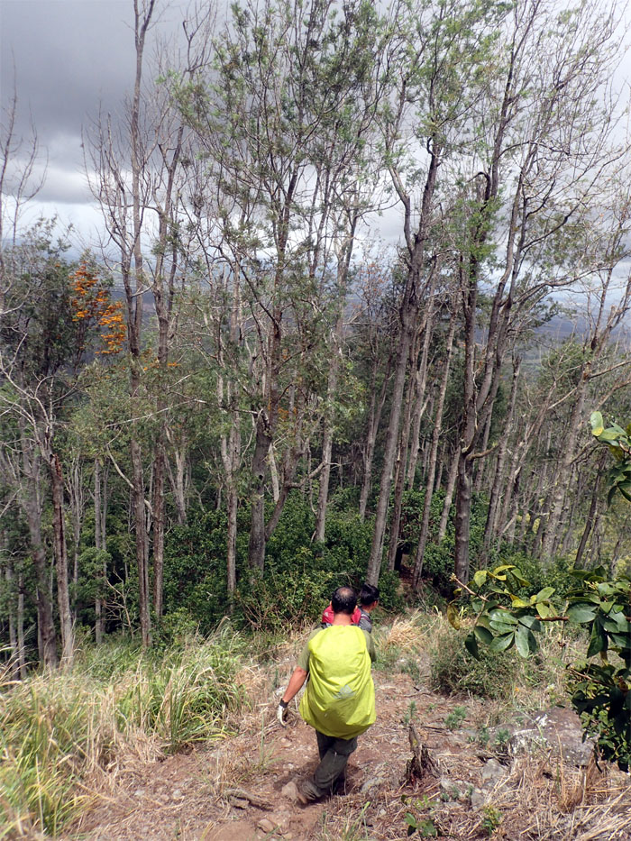
Forget the switchbacks.
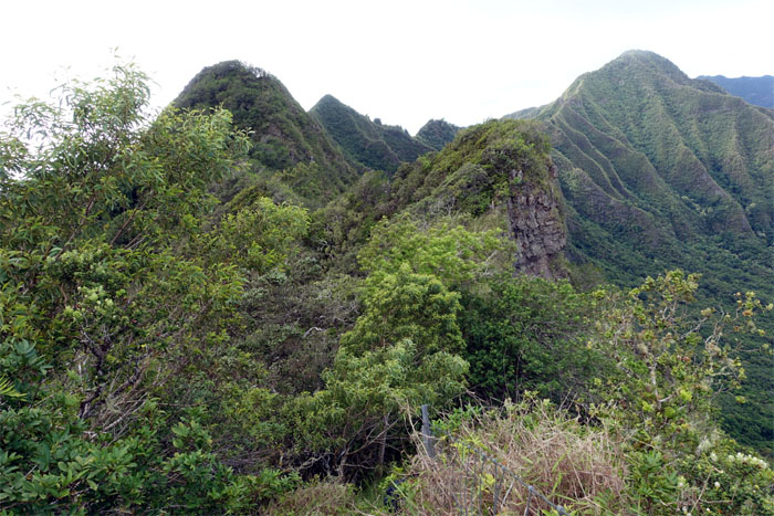
Approaching the notches.
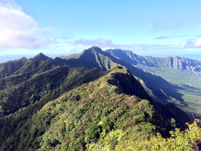
Panoramic photo by Jose Luis Delaki.
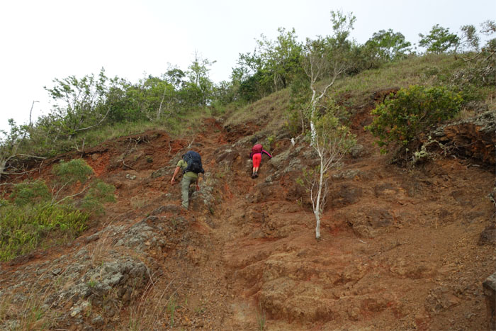
Scrambling up from the notches. Photo by Jose Luis Delaki.
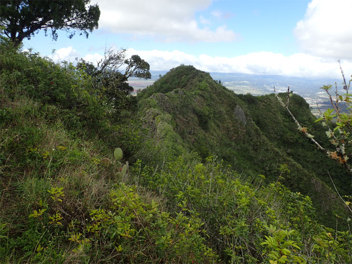
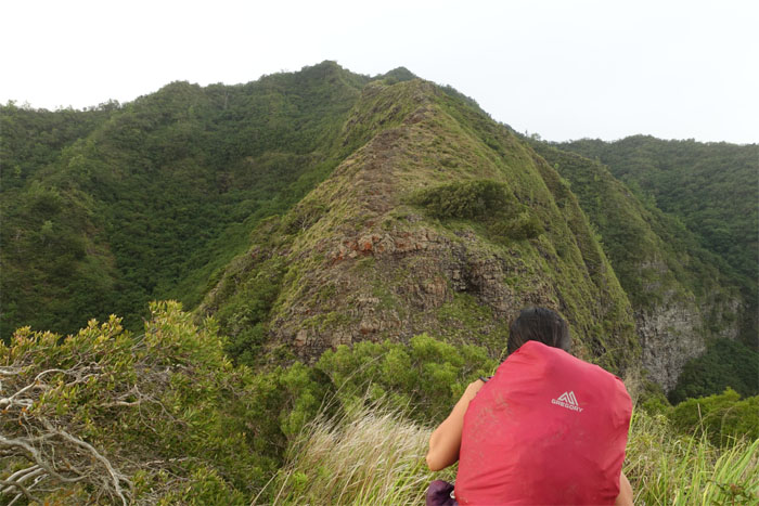
After we cleared the notches, it was a short ridge hike to the summit.
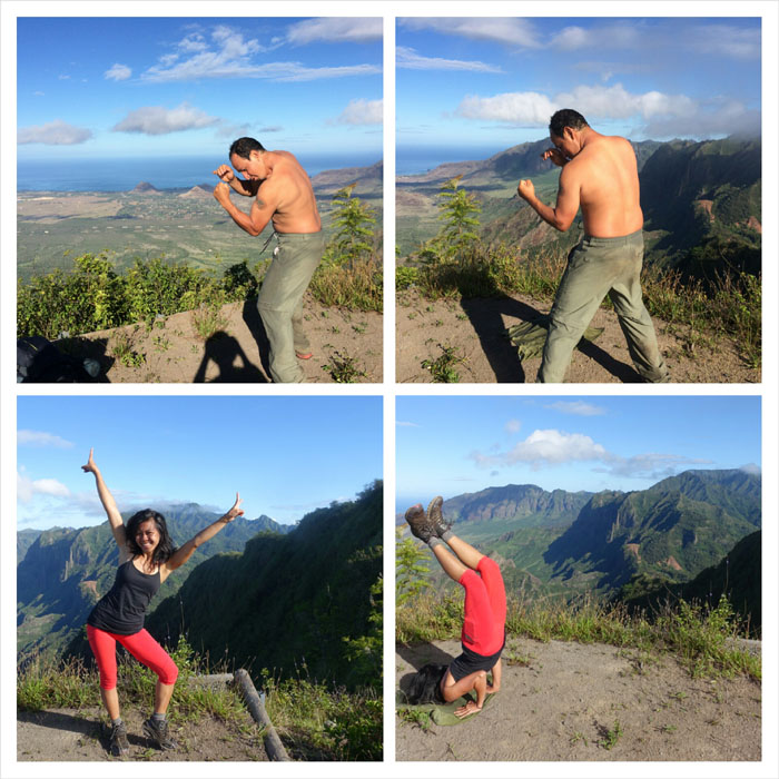
Jose warming up.
Boxing and yoga on the mountains.
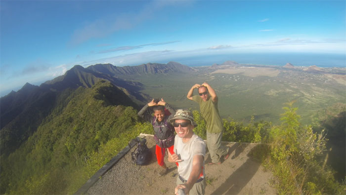
Group photo at the 2,883′ summit.
The long stretch home. We still had to hit the summits of Kanehoa, Kaua, Palikea and Palehua along with some climbing sprinkled in for good measure.
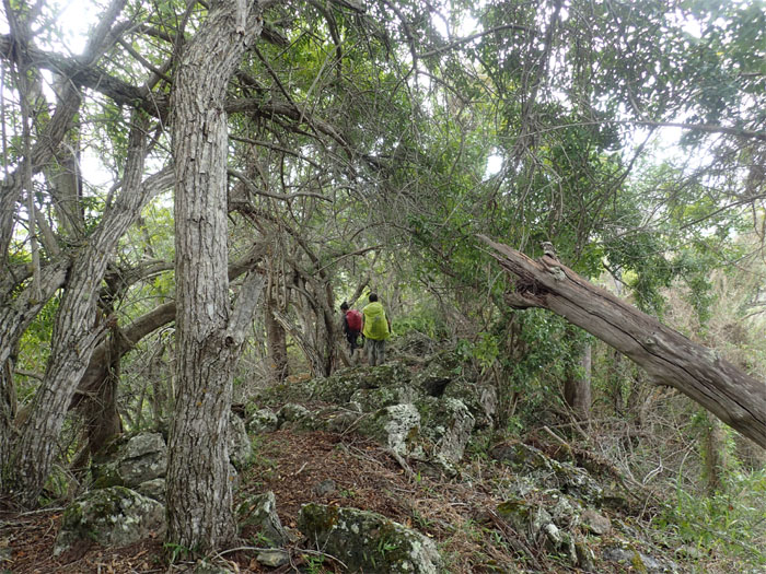
Heavy overgrowth returned on this trail section.
Gen and Jose approaching the summit of Pu’u Kanehoa.
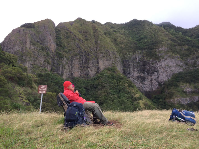
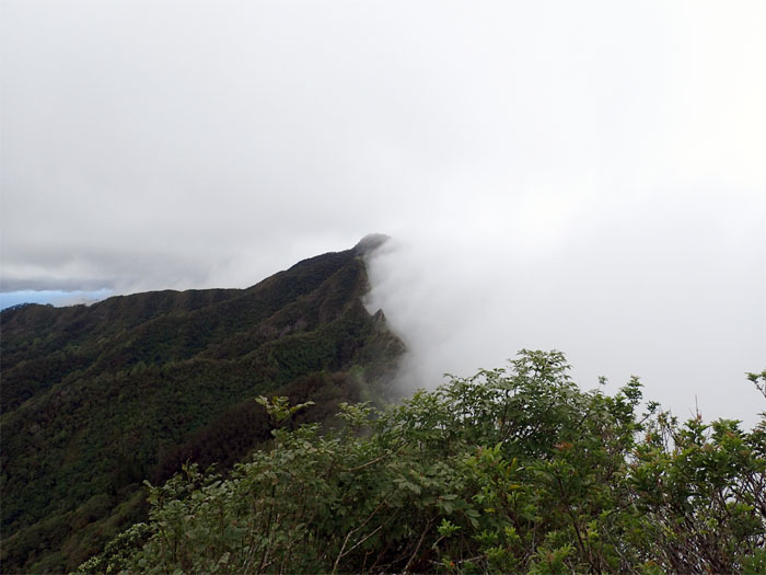
The ridge keeping the clouds at bay.
We had been talking of doing the Kanehoa trail one day. Be careful of what you ask for. Fatigue and carelessness resulted in me bumping myself off a rock for an unexpected drop that resulted in double sprained ankles. Time for a detour.
Light rain drizzled over us as we came down the ridge.
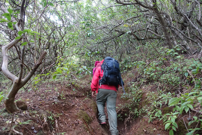
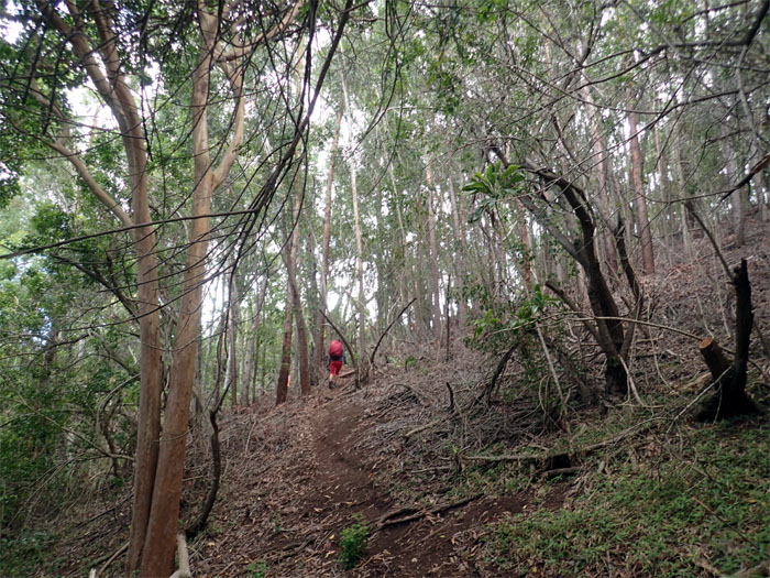
Hiking through the corridor of strawberry guava trees.
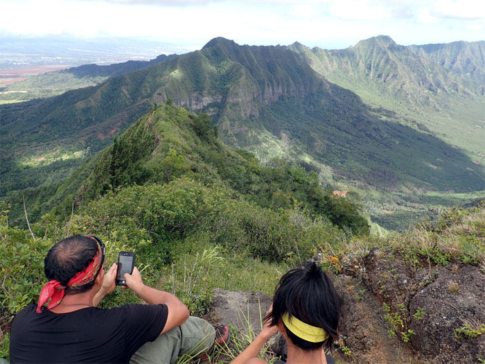
Jose checking out the view to make sure we were on the right ridge.
Stay to the right.
Headed down into the forest.
Coming off the ridge.
Finding our way out of the storied 3,592 acre area that encompasses lowland forests up to the mountains and are home to a diverse array of endemic fauna and flora.
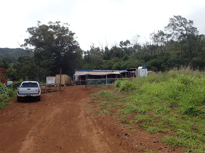
The trailhead was blocked by trailer homes. What the heck? As we rounded the trailer, I noticed a large black dog that made no sound but followed us with his head. Lucky he was fenced. Lucky us.
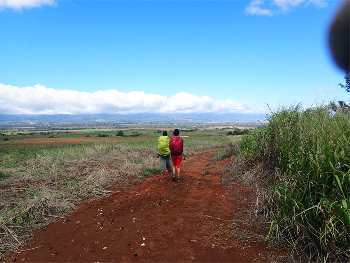
Walking out of the farmlands. Thanks to Ryan for picking us up. Again. Need to get more friends.
We covered almost 26 miles during our three day hike across the raw and rugged beauty of the Waianae Mountain Range. While bummed that we didn’t complete the hike as originally planned, thankful that I spent it in the company of good friends. Post hike meal at Maui Mike’s Fire-Roasted Chicken. Should’ve got the half chicken instead.
Note: I have been made aware the some hikers have been using my blog as a hiking guide and getting lost on the trails. Please note that this blog was made to document the hike for the crew(s) that did it. That is why some of my comments will seem to have no relevance or meaning to anybody outside of the crew(s) that hiked that trail. My blog was never meant as a hiking guide, so please do not treat it as such. If you find inspiration and entertainment from these hikes, that is more than enough. If you plan on replicating these hikes, do so in the knowledge that you should do your own research accordingly as trail conditions, access, legalities and so forth are constantly in flux. What was current today is most likely yesterdays news. Please be prepared to accept any risks and responsibilities on your own as you should know your own limitations, experience and abilities before you even set foot on a trail, as even the “simplest” or “easiest” of trails can present potential pitfalls for even the most “experienced” hikers.









{ 0 comments… add one now }