
Met up with Chris, Gen, and Jose to loop some ridges on the West side and perhaps hyphenate a climb. Alas, weather would have a say in those plans.
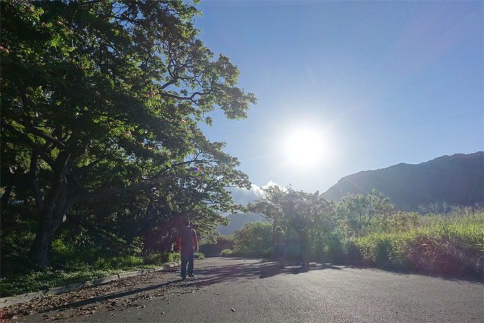
Trailhead
Thanks to Makaha Gene for letting us park at his place. Crying peacocks punctuated the air all too often as we walked the road deep into the valley.
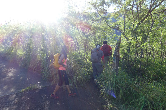
Trailhead
Leaving the trodden path of civilization … temporarily.
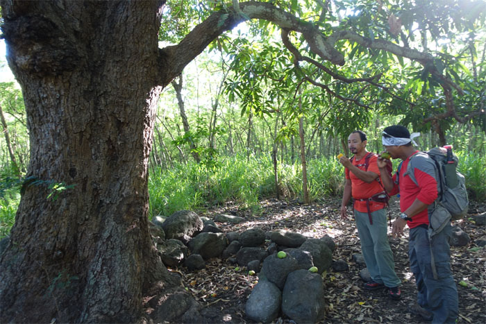
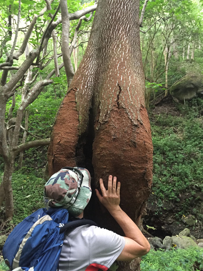
Makaha Valley
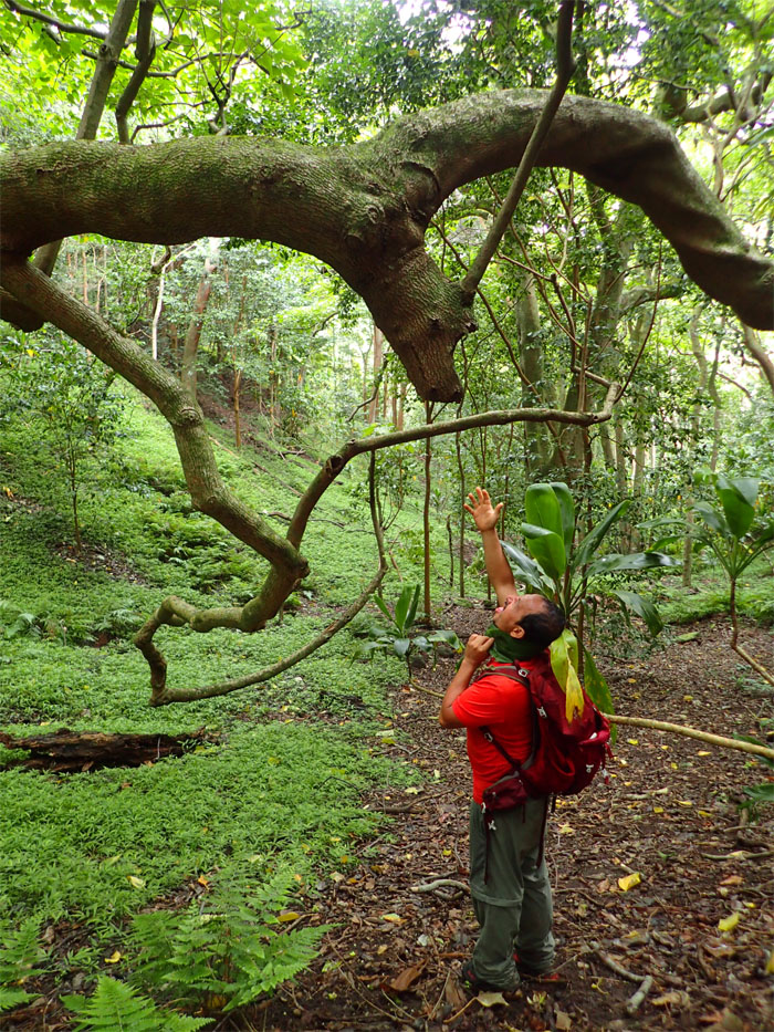
The mango tree that keeps on giving and giving. Just need some shoyu and vinegar.
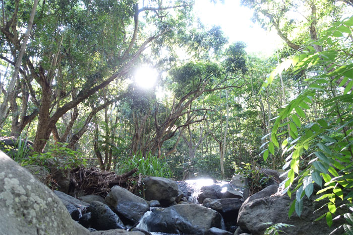
Makaha Valley
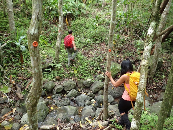
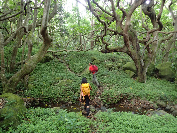
Multiple stream crossings were in order for today.
Makaha Valley
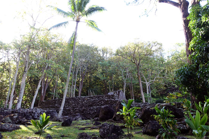
Tucked deep behind a gated community is Kane’aki Heiau, closed to the public. No tours.
Makaha Valley
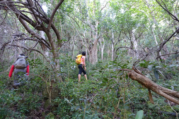
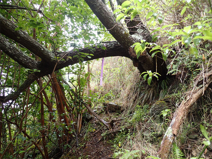
Wandering in the valley while looking for the ridge to go up. Thanks to Tom for the beta on the trail.
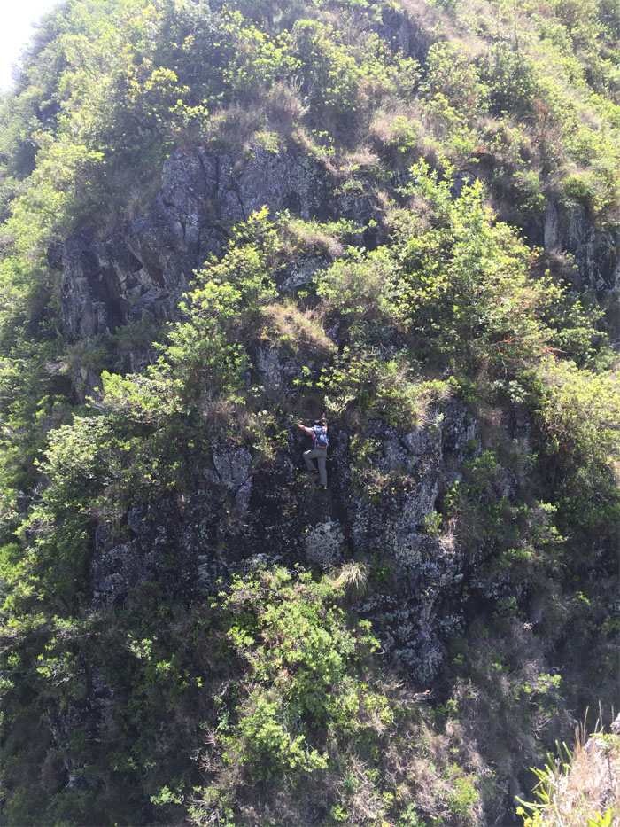
Razor Ridge
Chris breaking out of the canopied forest and onto the ridge.
Razor Ridge
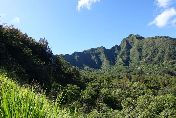
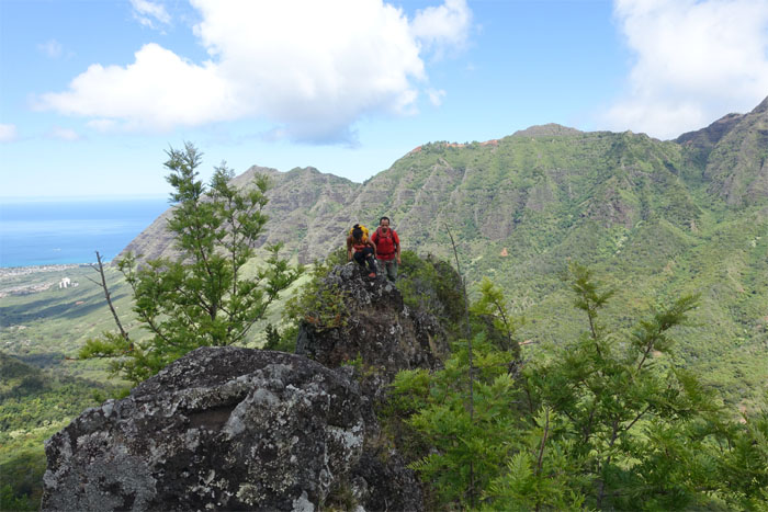
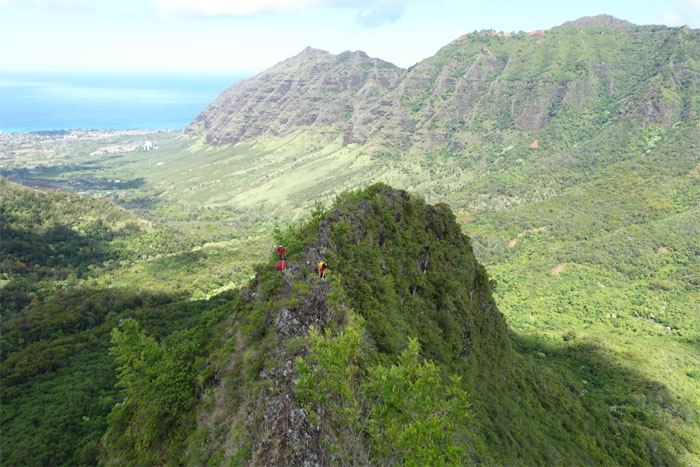
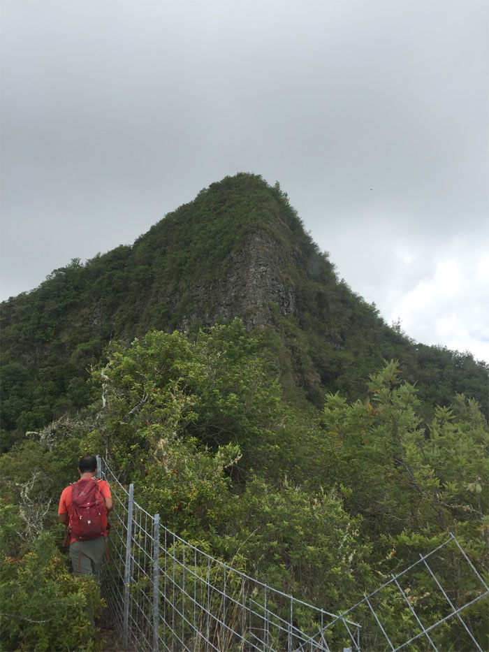
Our ridge for today.
Razor Ridge
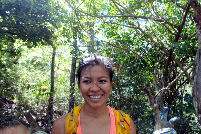
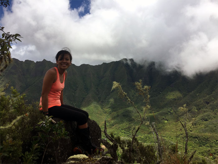
Lady and the peacock.
Razor Ridge
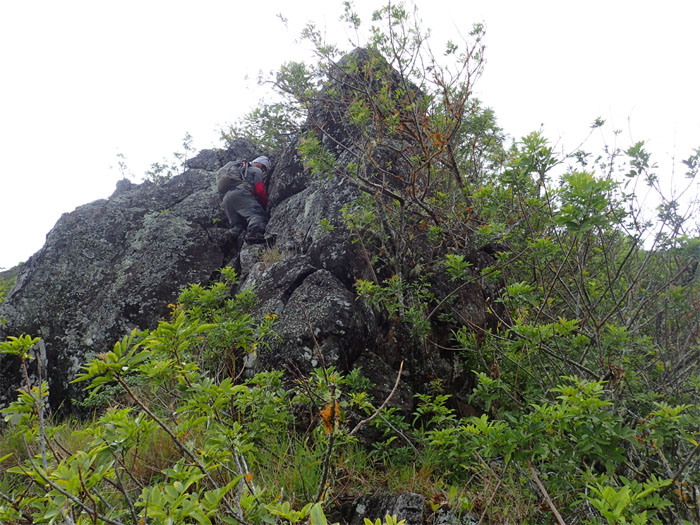
Boulder hopping.
Razor Ridge
Is this why it’s called razor ridge? Photo by Chris Bautista.
Razor Ridge
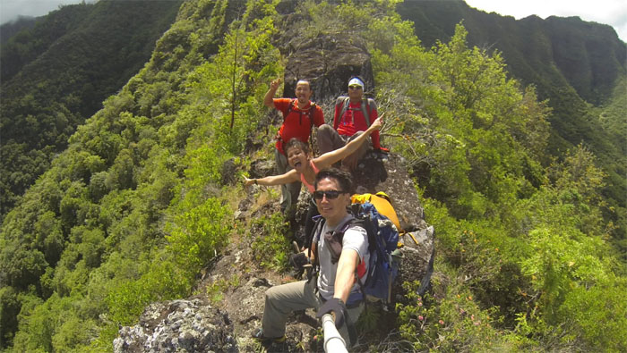
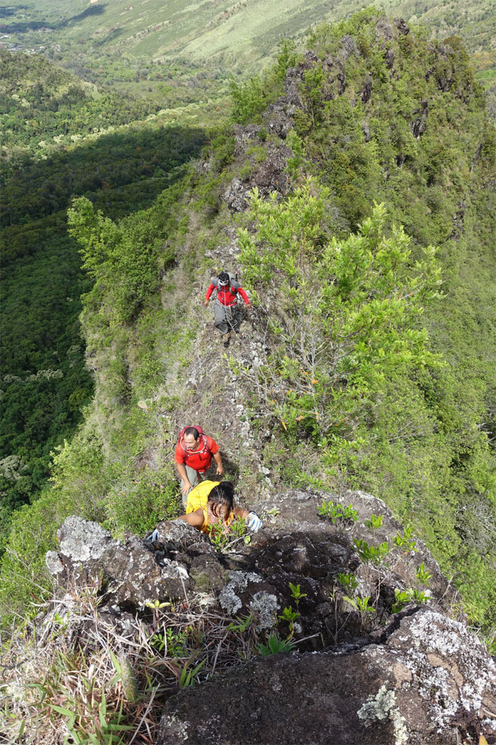
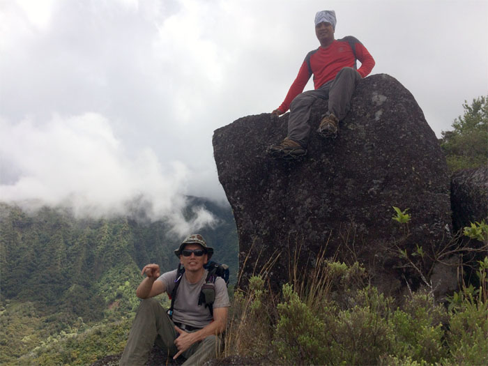
Group photo left to right: Jose, Gen, myself and Chris.
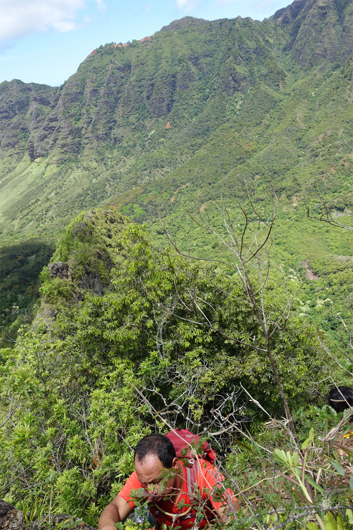
Razor Ridge
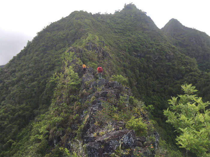
This section reminds me of Bolohead ridge.
Razor Ridge
Gen coming up the side of a rock face.
Razor Ridge
Chris coming down the other side.
Razor Ridge
Jose and Chris waiting their turn to go down the notch and up the rock face.
Razor Ridge
Eh! One rope stay on da left contour! Wat? Nevah mind. We going dis way! Photo by Jose Luis Delaki.
Razor Ridge
Jose making his way up.
Razor Ridge
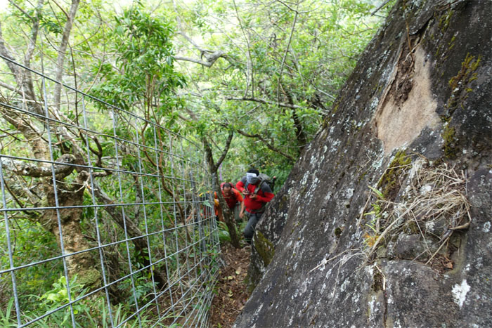
Coming up the ridge between a rock and a fence.
Razor Ridge
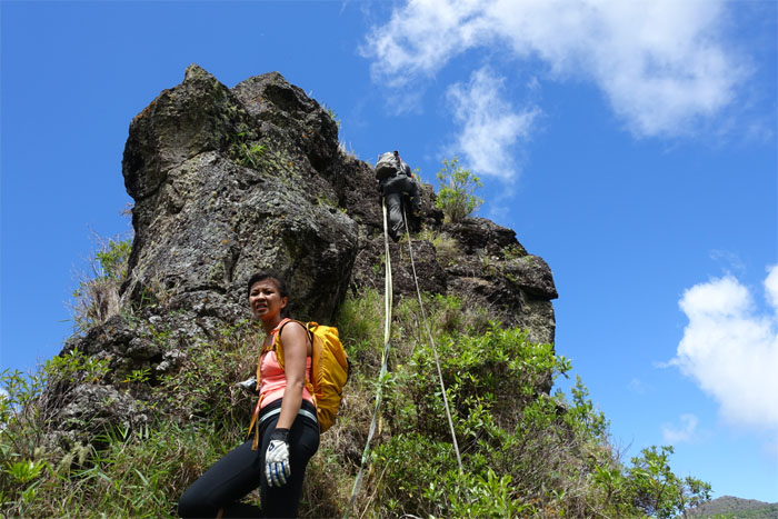
Some people like to stand …
Razor Ridge
… others prefer to sit … Photo by Jose Luis Delaki.
Razor Ridge
… while some are mere spectators. Photo by Jose Luis Delaki.
Razor Ridge
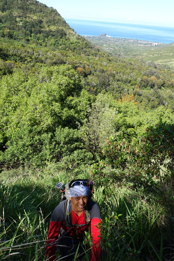
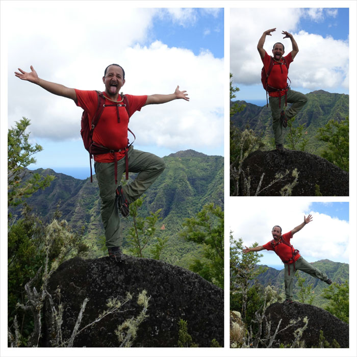
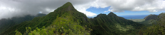
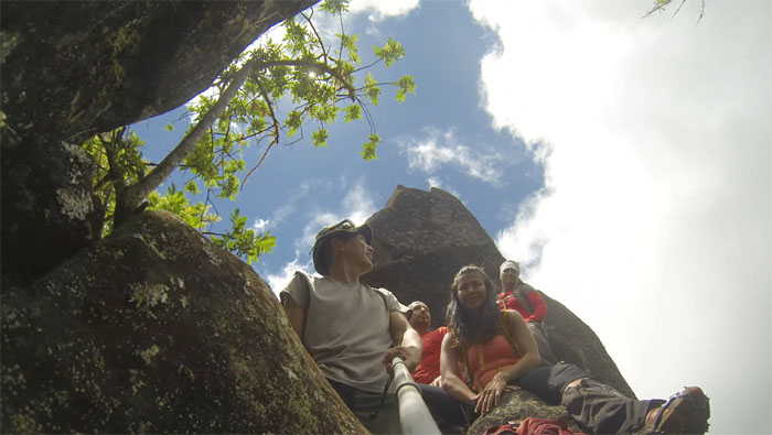
Panoramic view.
Razor Ridge
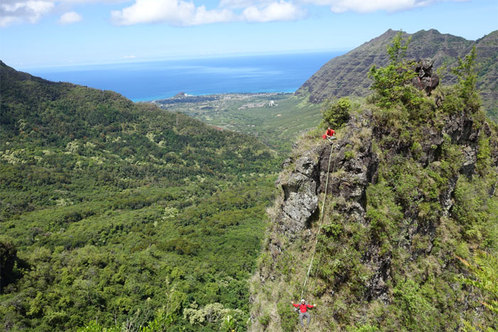
I want to camp there … and there … and there … Photo by Jose Luis Delaki.
Razor Ridge
The original plan was for some fool (s) to go up the Griego Wall and loop back down to Makaha Valley via Knife Edge. Falling rain called for a detour down to Tiki Ridge. I’ll be back. Photo by Genesaret Balladares.
Waianae
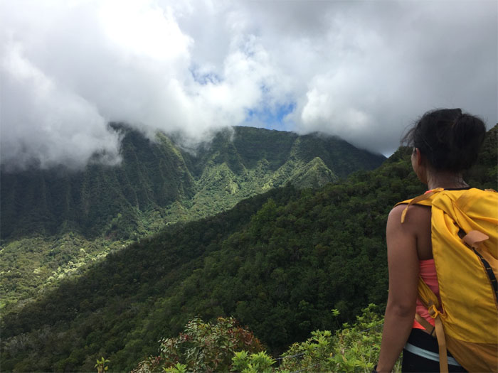
We contoured around the backside of No Name Peak to regain the ridge.
Tiki Summit
What happened to the rain? Grrr.
Tiki Ridge
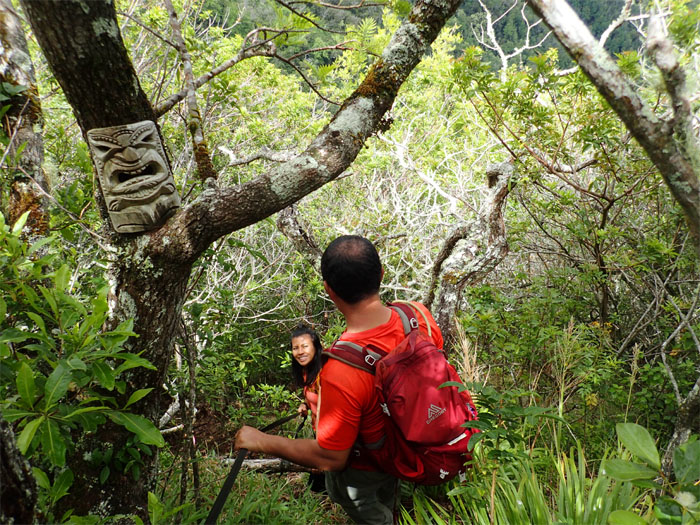
Making our way down the ridge, passing the first tiki.
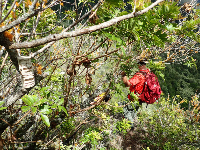
Tiki Ridge
Passing the second tiki.
Tiki Ridge
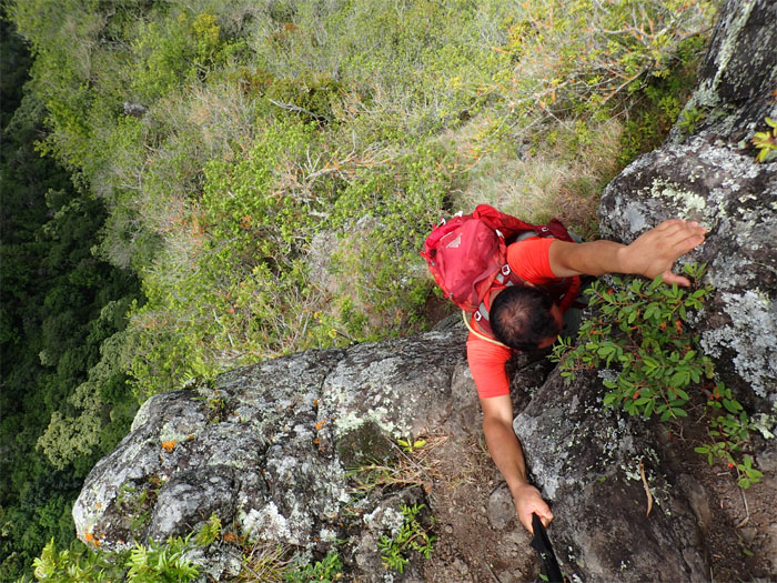
Top view of Jose climbing down.
Tiki Ridge
Bottom view of Chris making his way down.
Tiki Ridge
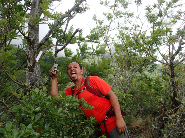
The last tiki on the ridge.
Tiki Ridge
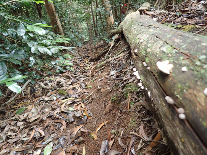
Fallen trees and fungus go hand in hand on the trails.
Waianae Valley
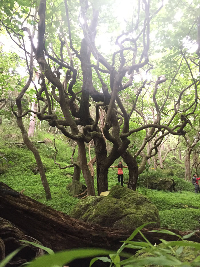
Do you see a dragon or a deer? Rorschach test for hikers.
Waianae Valley
Orange bottle caps are the way back to civilization. Just like bread crumbs, but not as organic.
Waianae Valley
From the sublime … Photo by Jose Luis Delaki.
Waianae Valley
… to the disturbing. Photo by Genesaret Balladares.
Waianae Valley
Time to leave Middle Earth.
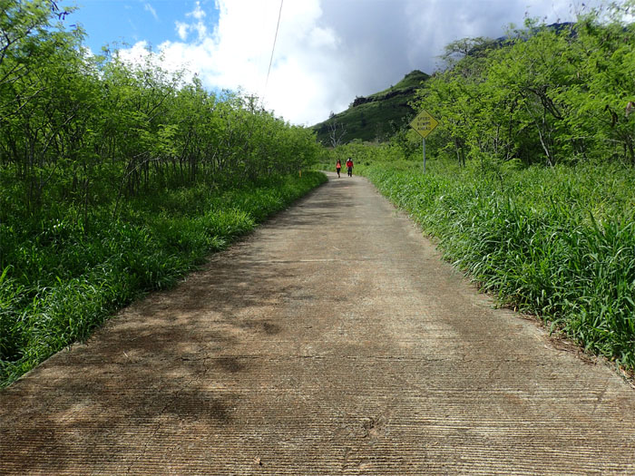
Waianae Valley
The long road down.
All pau
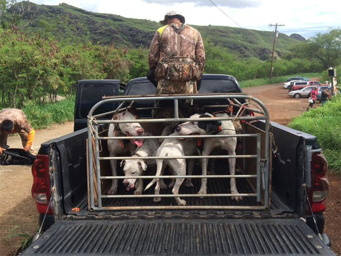
Like one ride to the bottom? Shout out to the hunters that took us down to the road. Thanks to Ryan for taking us back to Makaha Valley.
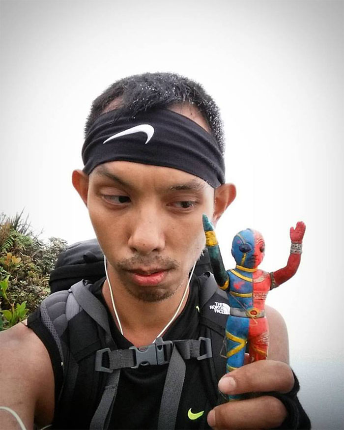
I’m so Happy!
Khym had been invited to this hike but decided to go camping in the meadows by himself. Lucky me. He found my Kikaida that I had lost in the same area over six months ago. It was plain as a blue colored centipede on the ground. Many thanks again! Photo by Khym Ansagay.

GPS Tracks
While our 6.19 mile hike did not go off as originally planned, we still had a great time and hike on the ridges and in the valleys. Post hike meal at Max’s of Manila. In Waipahu. Halohalo to wash down our holoholo adventures for today.
Note: I have been made aware the some hikers have been using my blog as a hiking guide and getting lost on the trails. Please note that this blog was made to document the hike for the crew(s) that did it. That is why some of my comments will seem to have no relevance or meaning to anybody outside of the crew(s) that hiked that trail. My blog was never meant as a hiking guide, so please do not treat it as such. If you find inspiration and entertainment from these hikes, that is more than enough. If you plan on replicating these hikes, do so in the knowledge that you should do your own research accordingly as trail conditions, access, legalities and so forth are constantly in flux. What was current today is most likely yesterdays news. Please be prepared to accept any risks and responsibilities on your own as you should know your own limitations, experience and abilities before you even set foot on a trail, as even the “simplest” or “easiest” of trails can present potential pitfalls for even the most “experienced” hikers.
{ 0 comments… add one now }