
We were supposed to meet up with another friend to celebrate her KST completion, but ended up stumbling into another surprise with a happy ending. And no, it wasn’t a massage.
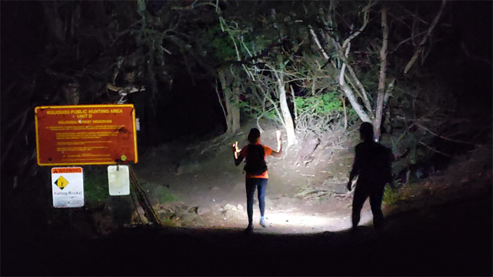
Trailhead
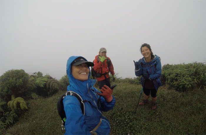
Met up with Lilyn and Quan in the wee hours of the morning in the hills of East Oahu and yes there is a rhyme and reason behind the early start.
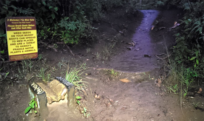
Kuli’ou’ou Ridge Trail
Brushing ones shoes helps to prevent rapid ohia death and bringing invasive seeds into native areas.
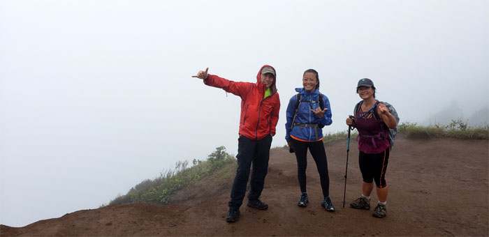
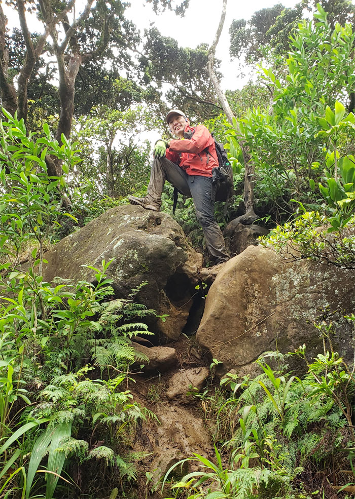
Kuli’ou’ou Summit
We got no views at the 2,028′ eroded hill, but at least we had ourselves. That’s worth something, right?
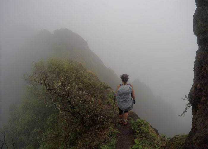
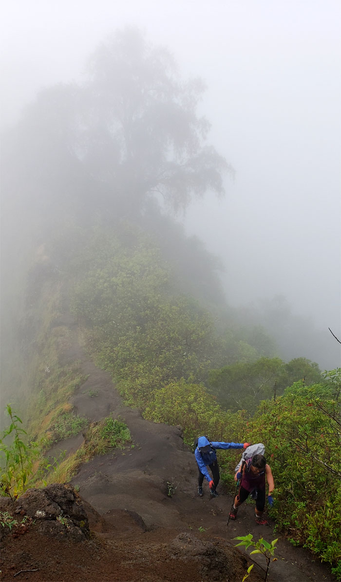
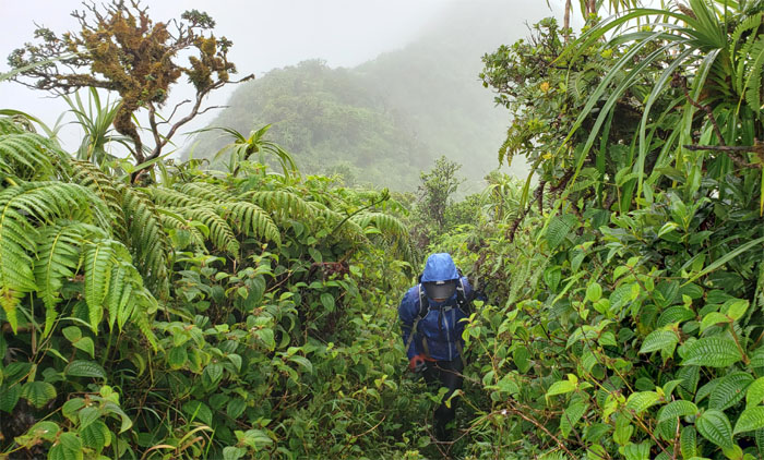
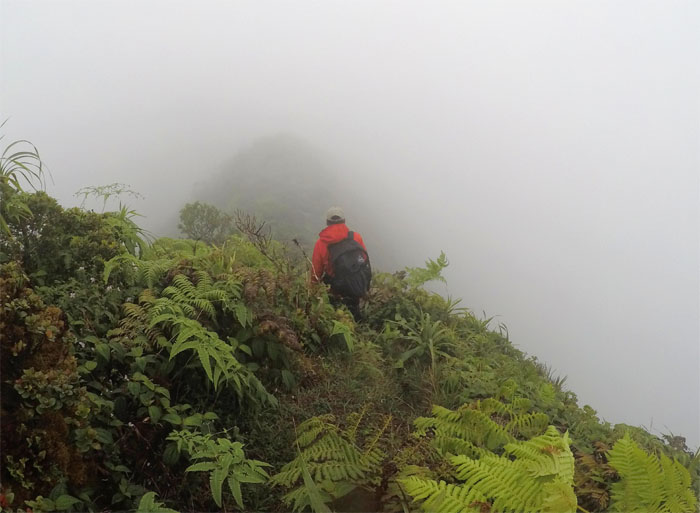
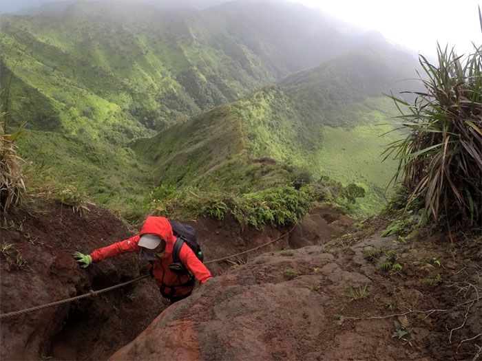
Ko’olau Summit Ridge Trail (KSRT)
Quan heading into the mist. Photo by Lilyn Avendano.
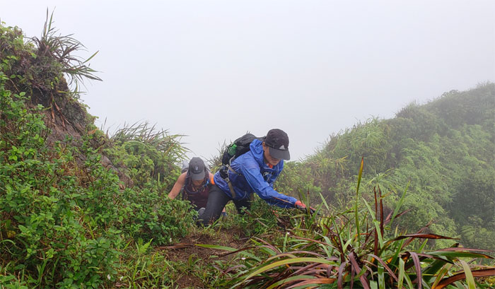
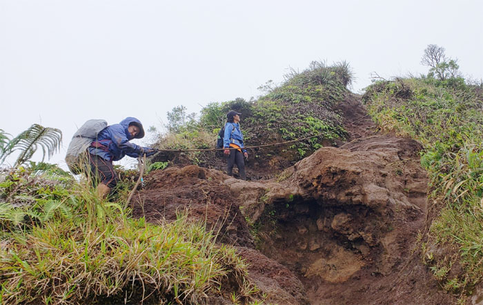
KSRT
Lilyn and Quan scrambling up the eroded section. Pays to speak softly and carry a hiking stick.
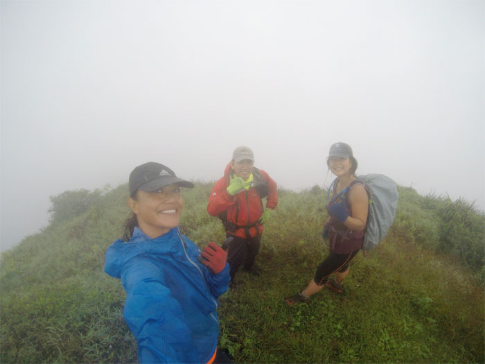
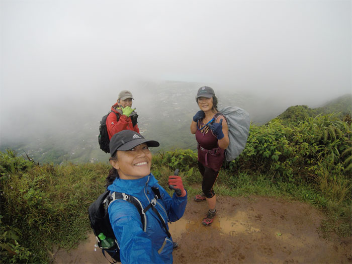
Pu’u O Kona Summit
One of many cloud soaked views at the 2,200′ top. Photo by Lilyn Avendano.
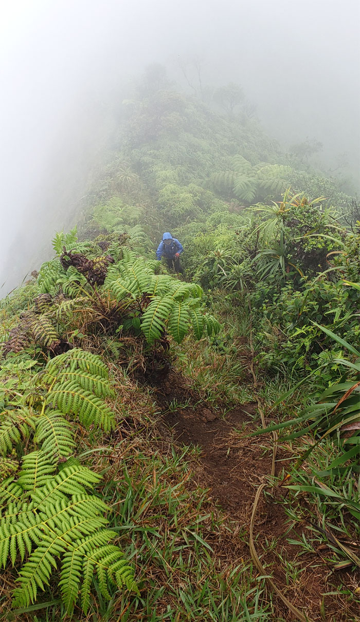
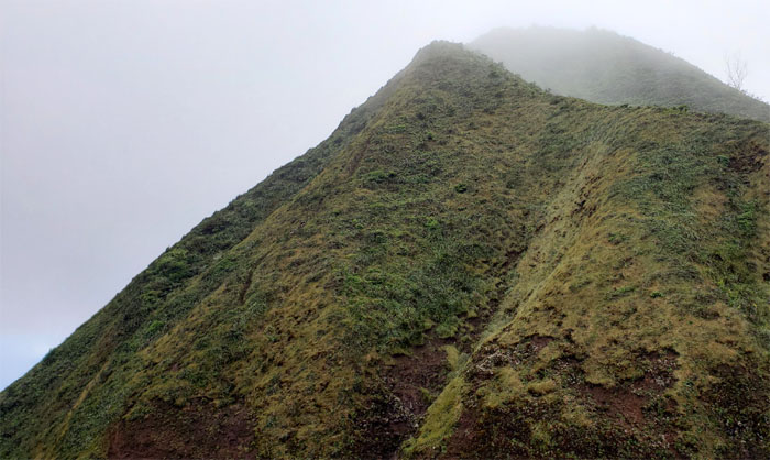
KSRT
The girls pulling themselves up one of many hills on the ridge line.
Kulepeamoa Summit
Where’s the flapping chicken at the 2,520′ summit? Photo by Lilyn Avendano.
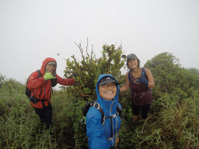
KSRT
Lilyn making her way up to the 2,429′ summit.
Hawaii Loa Summit
We got partial views at the denuded top.
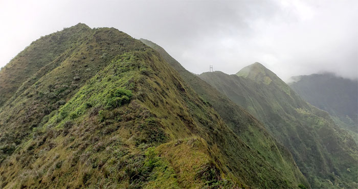
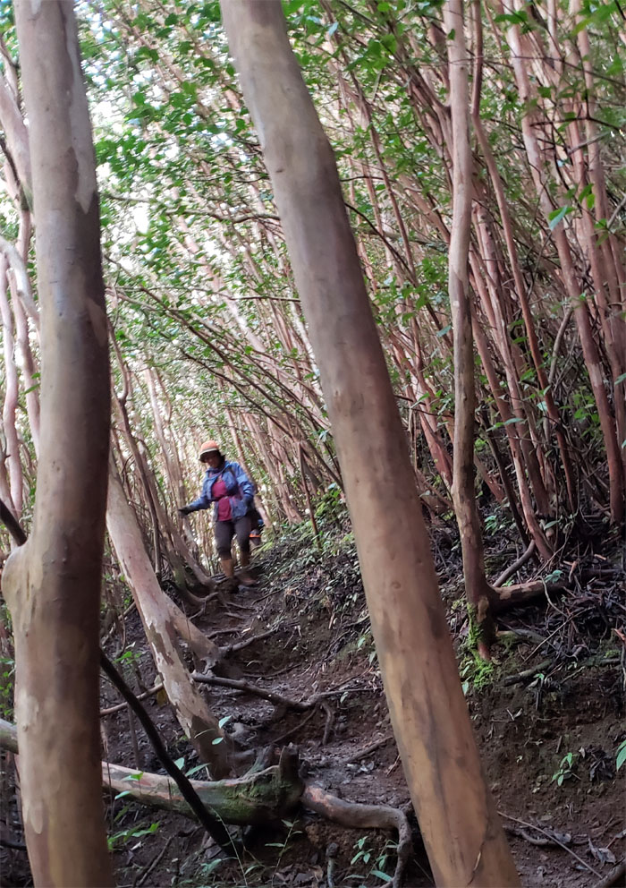
KSRT
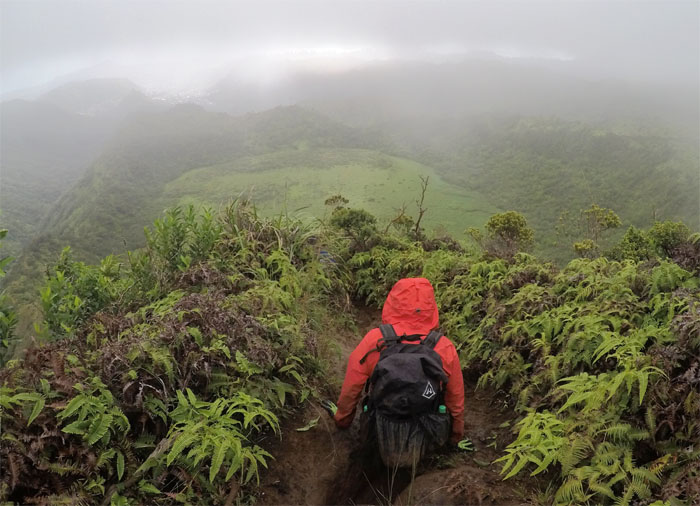
Traversing our way along the spine of the Ko’olau Mountains.
Wailupe Summit
Missing the prayer flags and the green trail sign. Photo by Lilyn Avendano.
KSRT
Making our way to Wiliwilinui Summit where we met another bunch of hikers milling around at the 2,520′ top. Lilyn and Quan kicked me out of the group and told me to go meet Agnes at Mount Olympus for her KST champagne finish. Photo by Lilyn Avendano.
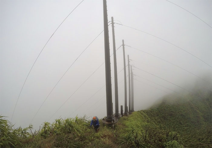
KSRT
Quan coming up the powerline ridge that transfers electricity from Leeward to Windward. Photo by Lilyn Avendano.
KSRT
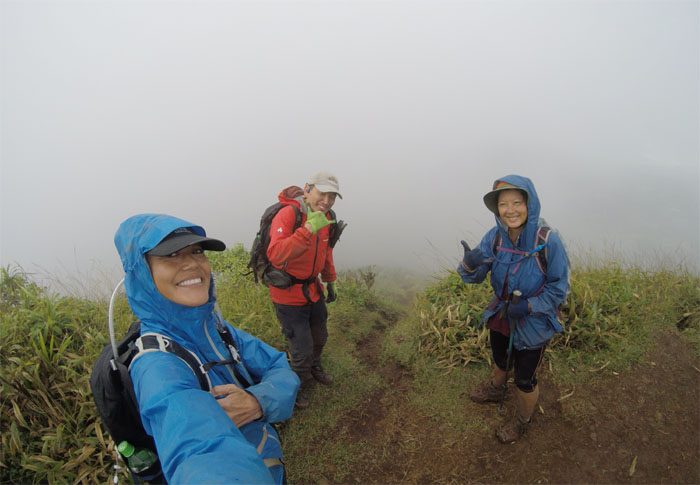
I got a random call from Shirley asking where I was hiking and it turned out we were both heading to the same place. Will wonders never cease.
KSRT
Looking back at the big hill that the rains had turned into a giant mud slide.
Ka’au Crater
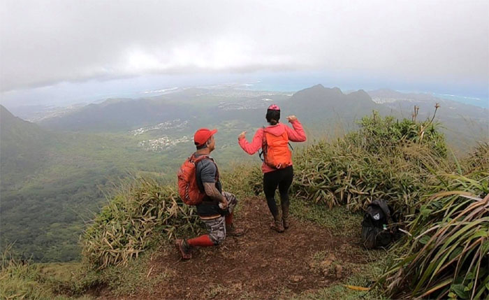
Met up with Bill and Shirley at the top of the Ka’au Crater Loop Trail, where I was soon pressed into filming what I thought was another cheesy dance, when … wait for it …
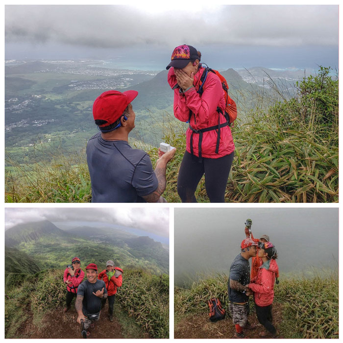
Ka’au Crater
Something old, something new, something borrowed and something blue. I don’t want the blue hole! I want to be surprised! Surprised much? Congrats to Bill and Shirley on their engagement in the mountains.
Ka’au Crater
The impromptu proposal had derailed my plans to meet up with Agnes, so I just waited for the rest of my group to catch up where we enjoyed some mama ramen tom yum shrimp flavor. Nom nom.
Ka’au Crater
Making our way down the trail towards one of three tuff cones on the island. Photo by Lilyn Avendano.
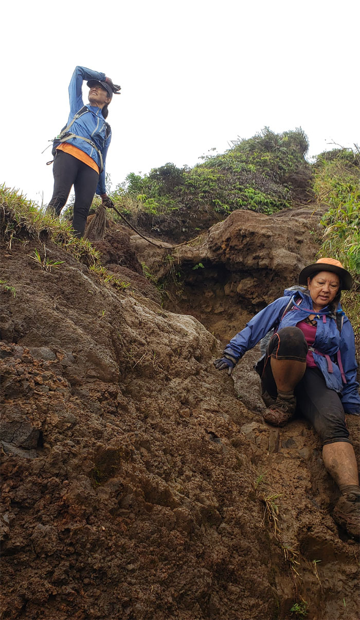
Ka’au Crater
The girls coming down one at a time on the ropes that came in handy on the slicked and muddy trail.
Ka’au Crater
Rutted much? Photo by Lilyn Avendano.
Ka’au Crater
Why am I holding this rope?
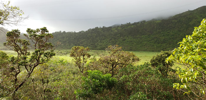
Ka’au Crater
Dropping down to almost eye level with the marsh filled crater.
Ka’au Crater
We decided to take the loop trail that bypassed the waterfalls. In hindsight, wrong choice! Too long. Photo by Quan Haberstroh.
Ka’au Crater
Dropping down to the valley floor. Finally.
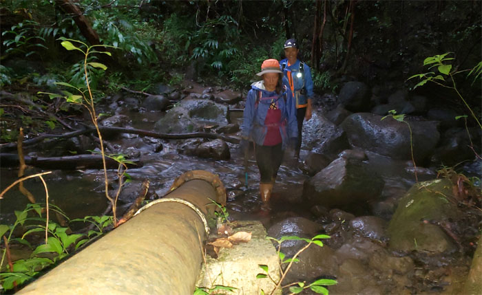
Ka’au Crater
Following the water pipe out of the valley.
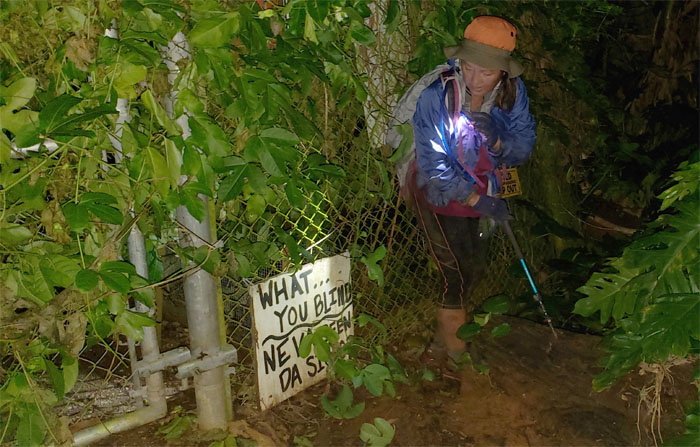
All pau
When you are too tired to appreciate the sarcasm. Thanks to Aida and Sally for picking us up and driving us back to our cars. Post hike meal at Peppa’s Korean BBQ. Our first choice wasn’t open for business.
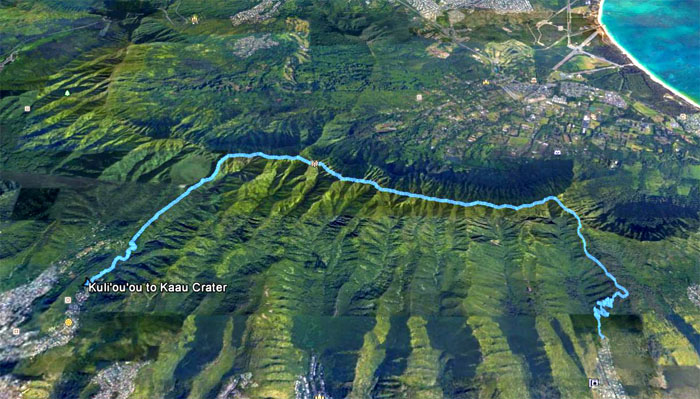
GPS Tracks
Our hike covered almost eight miles through rain, wind and mud. While I didn’t get to see the ending of Agnes Bryant’s finish of the KST, I was witness to the beginning of another happy story. Not a bad trade off.
Note: I have been made aware that some hikers have been using my blog as a hiking guide and getting lost on the trails. Please note that this blog was made to document the hike for the crew(s) that did it. That is why some of my comments will seem to have no relevance or meaning to anybody outside of the crew(s) that hiked that trail. My blog was never meant as a hiking guide, so please do not treat it as such. If you find inspiration and entertainment from these hikes, that is more than enough. If you plan on replicating these hikes, do so in the knowledge that you should do your own research accordingly as trail conditions, access, legalities and so forth are constantly in flux. What was current today is most likely yesterdays news. Please be prepared to accept any risks and responsibilities on your own as you should know your own limitations, experience and abilities before you even set foot on a trail, as even the “simplest” or “easiest” of trails can present potential pitfalls for even the most “experienced” hikers.
{ 2 comments… read them below or add one }
Glad you were able to differentiate all the different summit photos! ????
Aloha Lilyn,
Yup, I am not the forgetful hiker and time stamps on the photos help as well. LOL.
Mahalo