
Throwback. The mountains were calling and we must go. Or was that Heaven? Hope it wasn’t the other dark and dank place.
Moanalua Valley
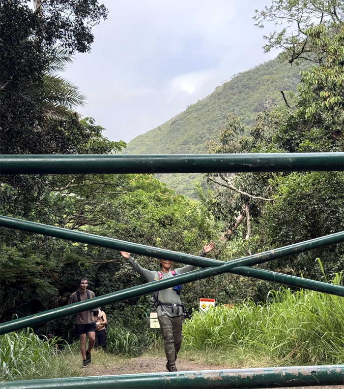
We all met up in the valley that was once owned by Samuel Mills Damon who inherited it from Bernice Pauahi Bishop in 1884. The C&C employee promptly opened the gates to the park at 0700. Mahalo.
Kamananui Valley Road Trail
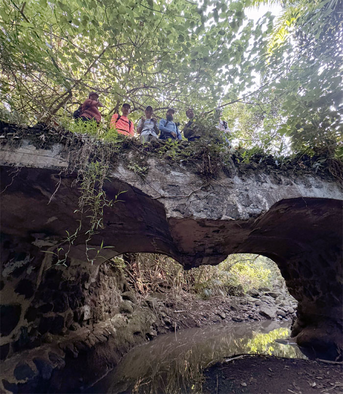
Crossing over one of seven bridges built to accommodate the horse drawn carriages of the Damon family back in the day.

Kamananui Valley Road Trail
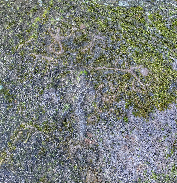
Kenny checking out the “stone of the old woman.” This boulder carved with petroglyphs stopped the H3 construction in its tracks. It was of course re-routed through Halawa Valley at an insane cost of $1.3 billion and took 37 years from planning to completion in 1997. The current Skyline will easily exceed the time and money spent.
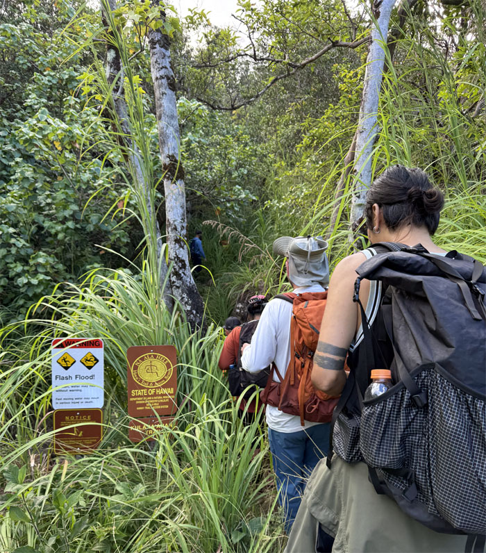
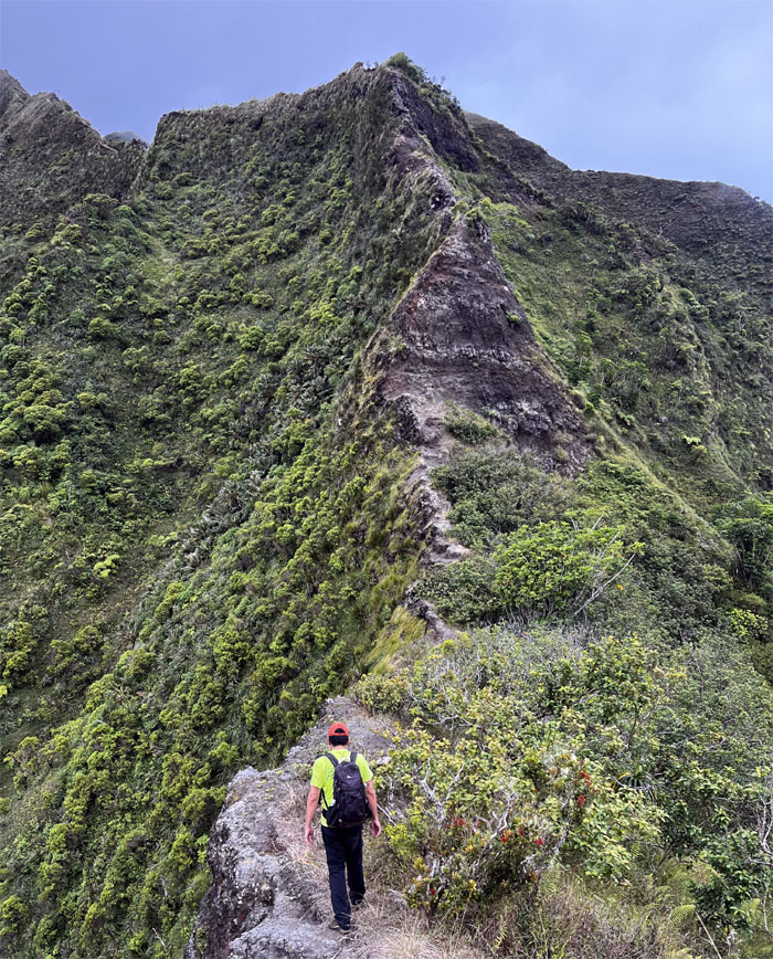
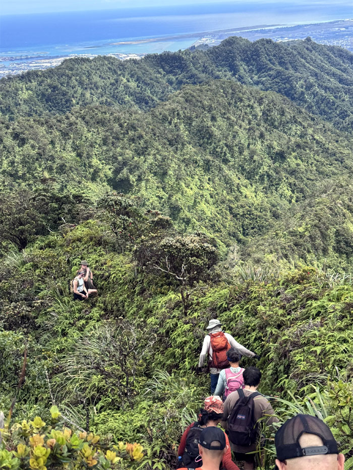
Kulana’ahane Trail
Plunging into the trail intersected with 28 stream crossings and tangled thickets of hau branches.
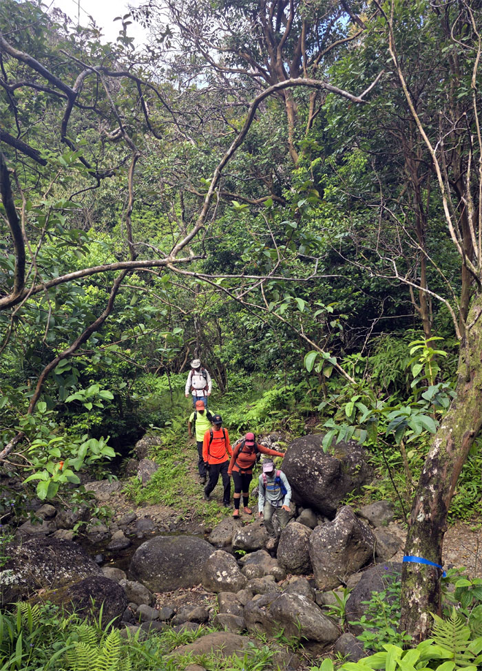
Kulana’ahane Trail
One of multiple stream crossings.
Kulana’ahane Trail
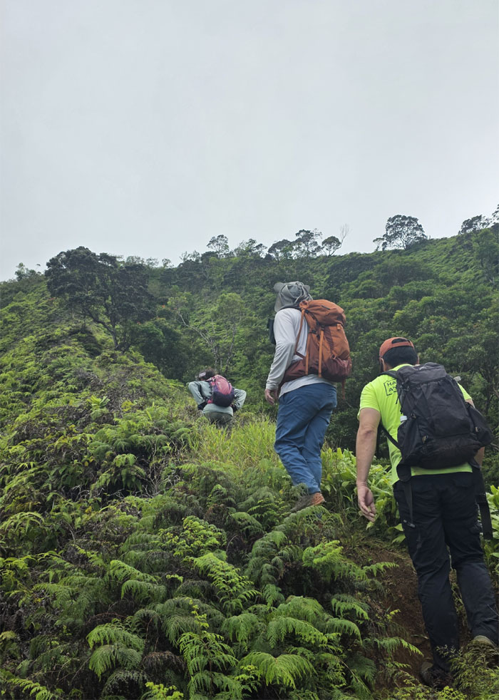
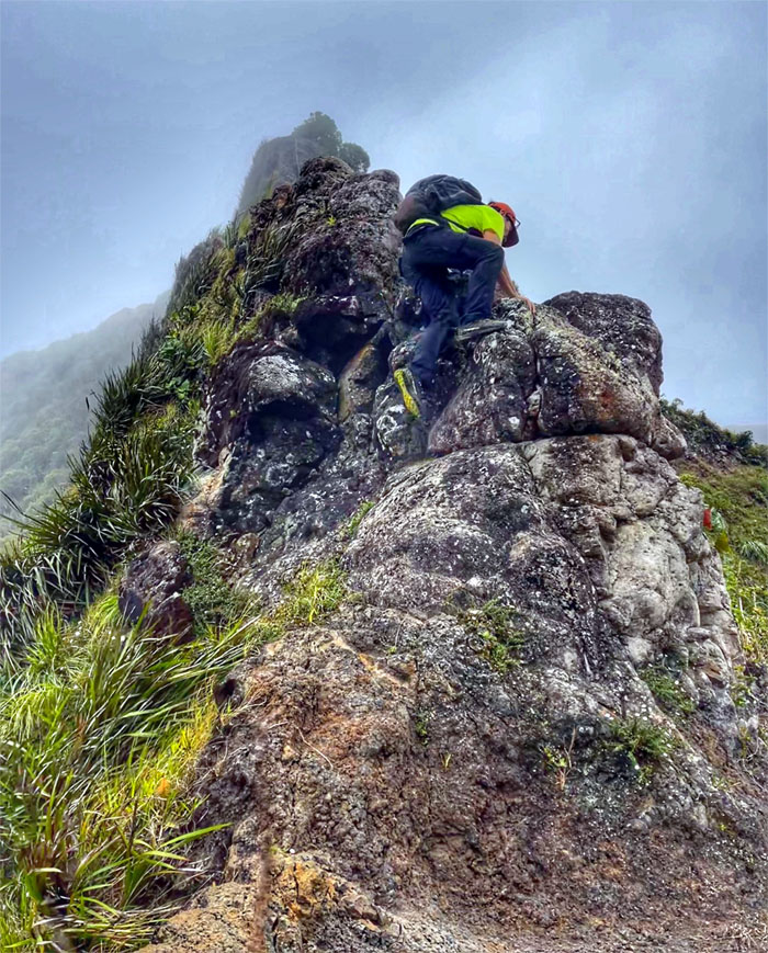
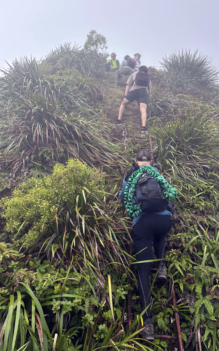
Short and sweet cardio climb up the spur ridge.
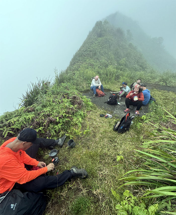
Kulana’ahane Summit
We caught up with Jace, Allie and Samuel at the terminus who had mistakenly taken the wrong ridge to their destination. Saddle. Ridge. Tomato. Tomatoe.
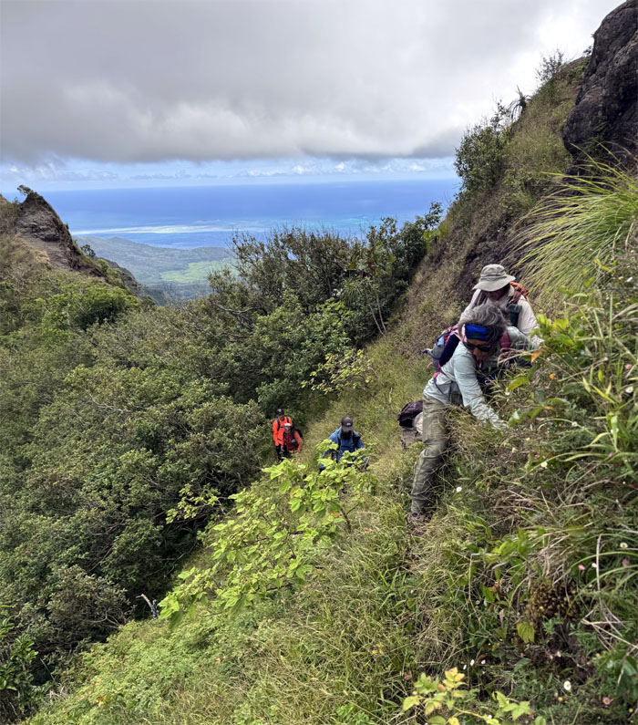
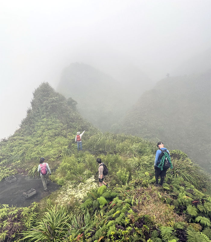
Moanalua Saddle
Our group remained the same in numbers, but the composition was slightly different as Jace replaced Kenny in the group.
Moanalua Saddle
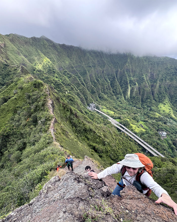
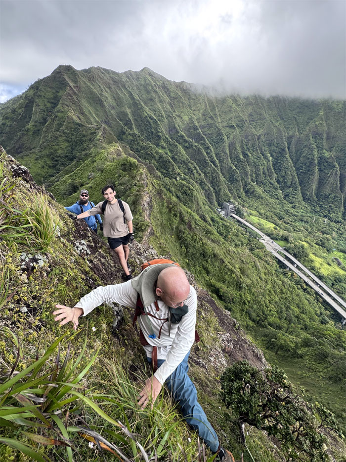
Jeremy climbing up the direct path as he upheld the three core values of the Corps. Courage, Commitment and Honor. Semper Fi. Besides, he didn’t want to hear those motivating words from Gunnery Sergeant Hartman. “Are you quitting on me? Well, are you? Then quit, you slimy fucking walrus-looking piece of shit! Get the fuck off of my obstacle! Get the fuck down off of my obstacle! NOW! MOVE IT! Or I’m going to rip your balls off, so you cannot contaminate the rest of the world! I will motivate you, Pvt. Pyle, EVEN IF IT SHORT-DICKS EVERY CANNIBAL ON THE CONGO!”
Moanalua Saddle
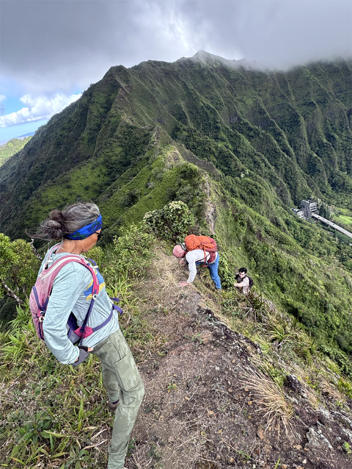
Deborah electing to take the Leeward contour. She wasn’t in the military.
Moanalua Saddle
The group clinging on the Windward side.
Moanalua Saddle
Regaining the ridge line.
Moanalua Saddle
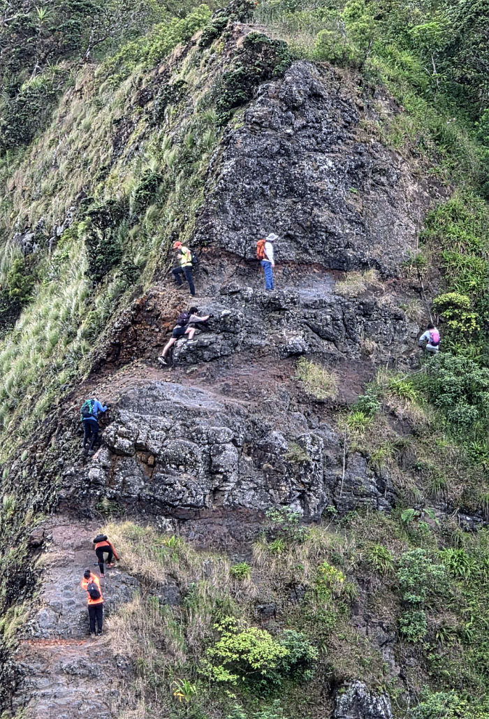
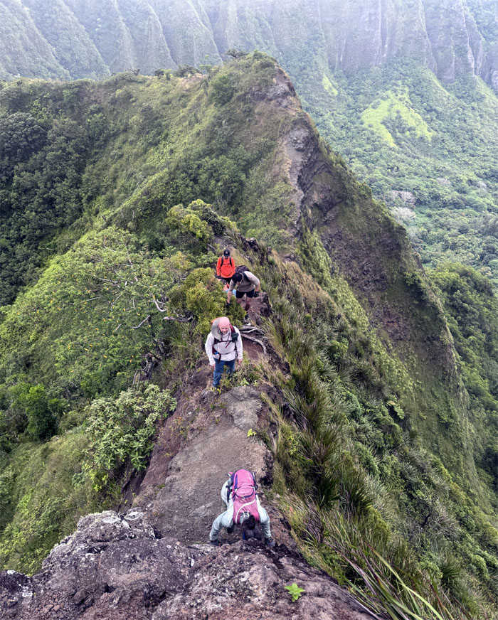
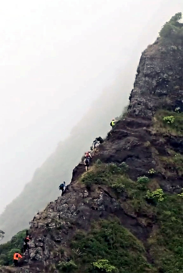
Making our way towards the triangular shaped obstacle that lay in our path.
Dirt Triangle
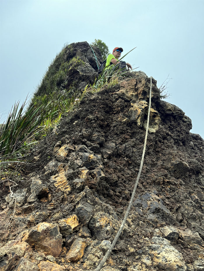
Contoured on the right to climb the flank of the cliff while keeping our footholds and handholds firm to avoid sliding down the hill.
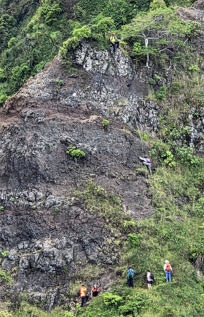
Dirt Triangle
One at a time. Falling rocks for everybody behind. Climbing helmets optional.
Dirt Triangle
Deborah pulling herself up, one step at a time.
Moanalua Saddle
Climbing over small rocks to get to bigger rocks.
Moanalua Saddle
Slow and steady will get you across the finish line.
Moanalua Saddle
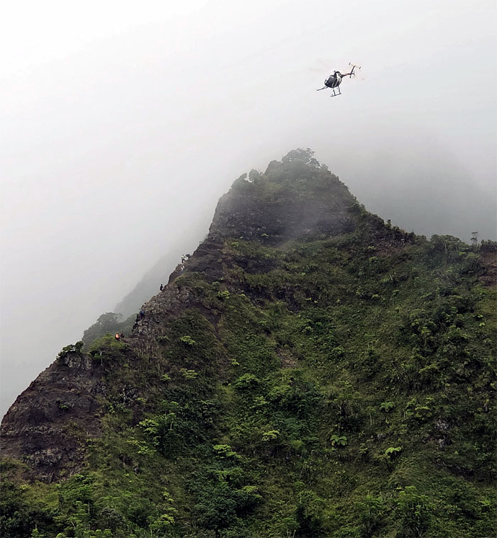
A curious helicopter with no markings buzzed us briefly and peeled off as the weather conditions worsened.
Moanalua Saddle
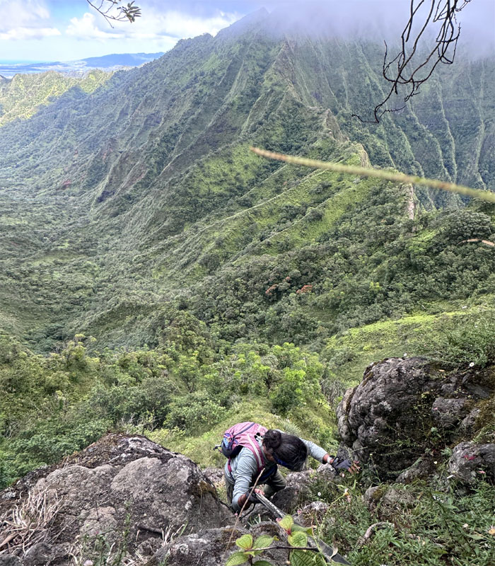
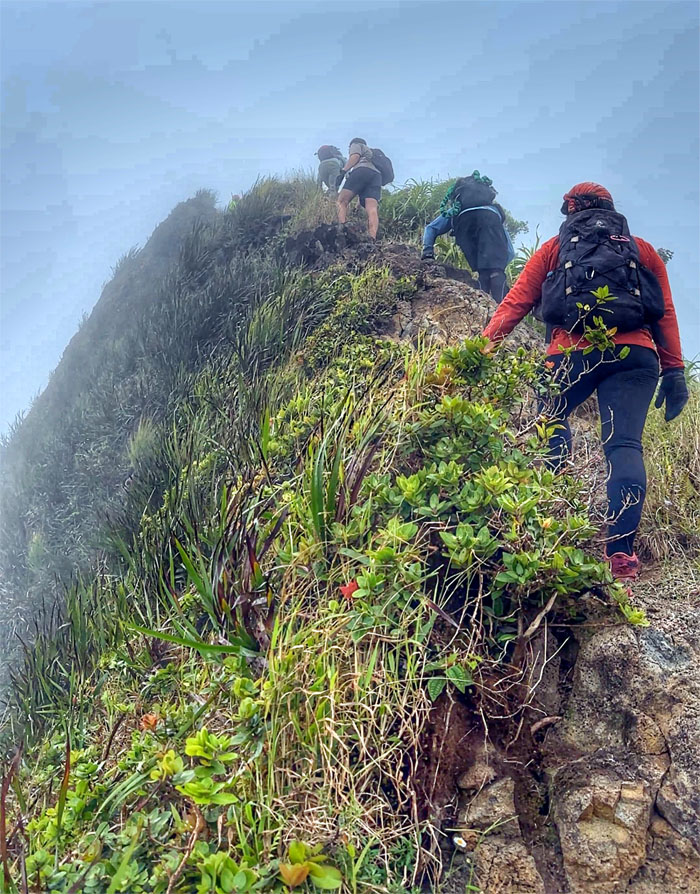
This was probably the most fractured and crumbly section of the saddle. Every visit shows a different character of the saddle as it constantly changes due to weather and traffic.
Moanalua Saddle
Now that we didn’t have any aerial gawkers, we could safely concentrate on climbing up this near vertical section.
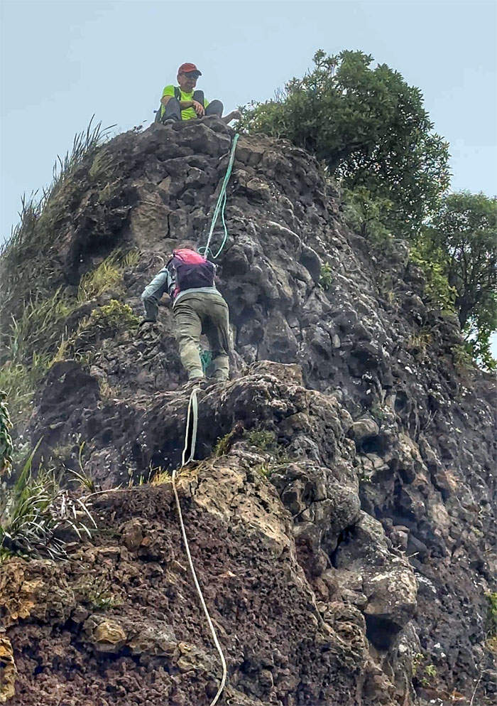
Moanalua Saddle
Deborah slowly making her way up on the crumbly rocks, checking it twice, gonna found out which rocks are naughty and nice.
Moanalua Saddle
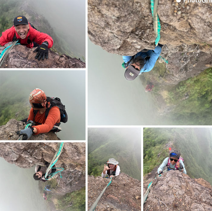
Six faces of determination. One even had a good sized rock fall in his lap. More determination.
Moanalua Saddle
All the “technical” sections were behind us. Just had to look forward to hiking in the rain.
Moanalua Saddle
We decided to have a quick bite to eat at the first landing.
Moanalua Saddle
Climbing up the ladder to see first hand the results of the “Brazilian wax” that stripped most of the metal from the ‘aina.
Moanalua Saddle
Going down to the second landing. Back in the day, each landing had an A-frame that in total hung five suspended antenna cables across the amphitheater shaped valley that was used by the US Navy to communicate with far flung ships and submarines in the Pacific.
Moanalua Saddle
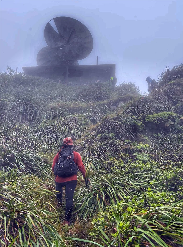
Approaching the CCL building that was built to house emergency communication back-up for the ground communications link during WW2. The twin microwave antennas on top of the building were installed after the war ended, for use by the US Air Force and later the US Coast Guard.
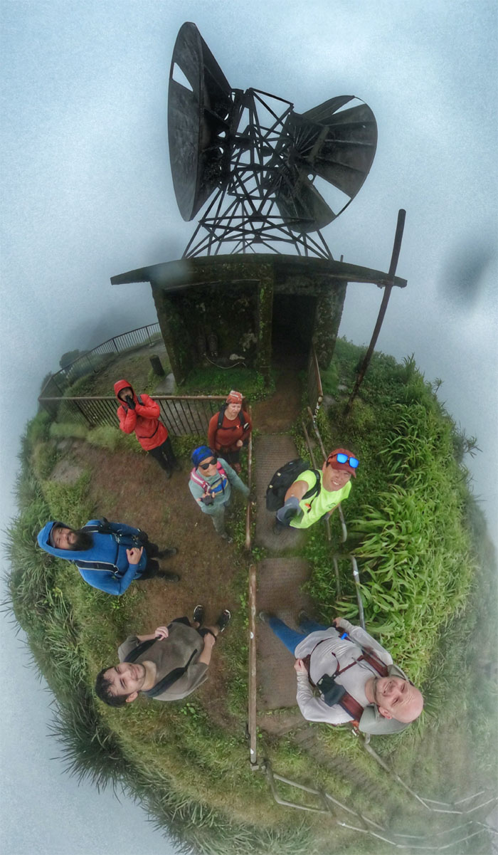
CCL Building
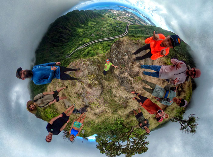
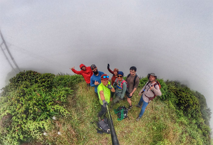
Group photo at the terminus for the storied 3,922 steps, count is actually less as people have stripped some of them for souvenirs, that make up the Stairway to Heaven. You can thank Bill Adams and Louis Otto who climbed the seemingly insurmountable cliffs in two weeks to lay the foundation for the original wooden Haiku Ladder in 1942. The fate of the stairs is tied up in the courts as FHS and the City both have opposing agendas.
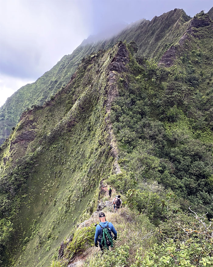
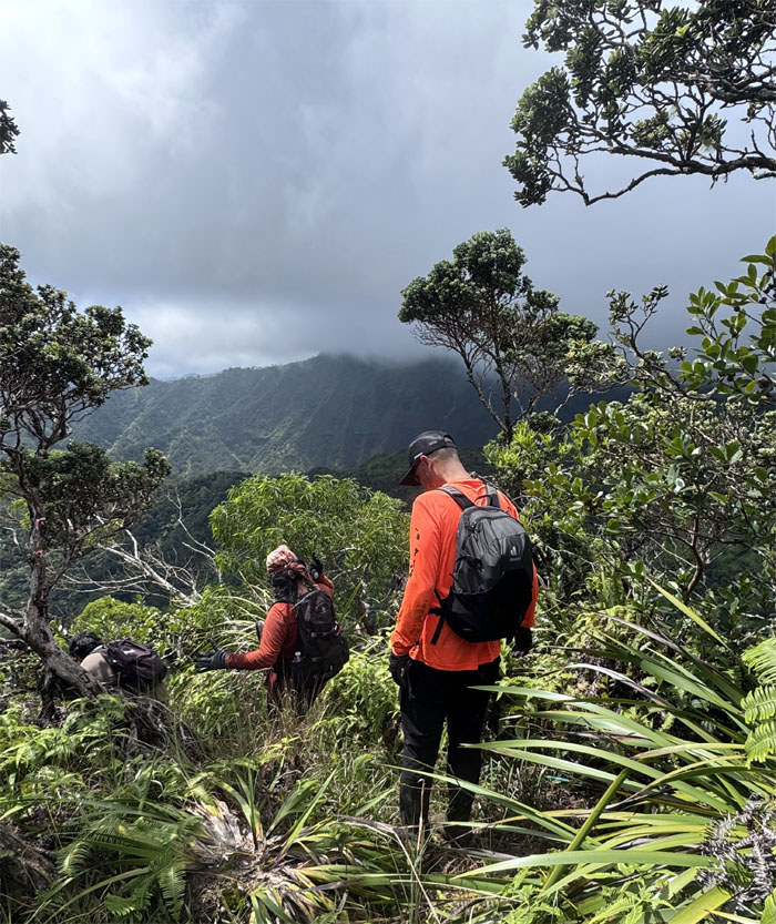
Ko’olau Summit Ridge Trail (KSRT)
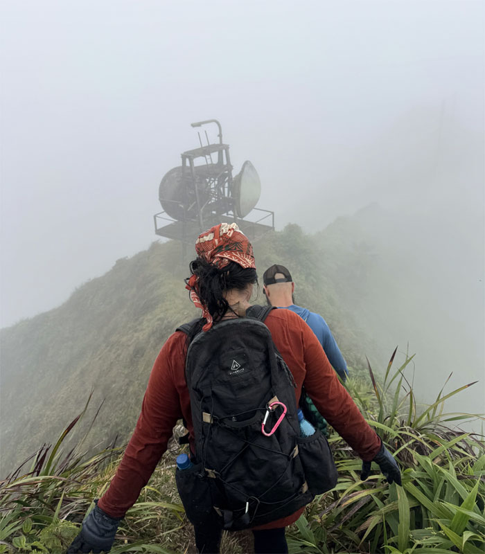
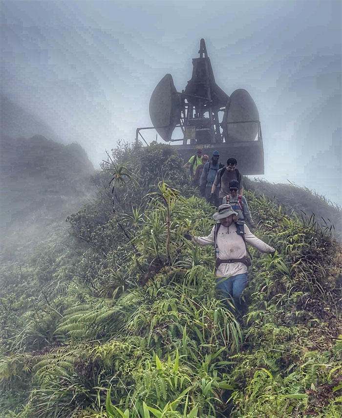
We left the summit of Pu’u Keahi a Kahoe to continue our traverse on the muddy ridge line.
KSRT
Leaving the defunct radar station in the clouds and rain.
KSRT
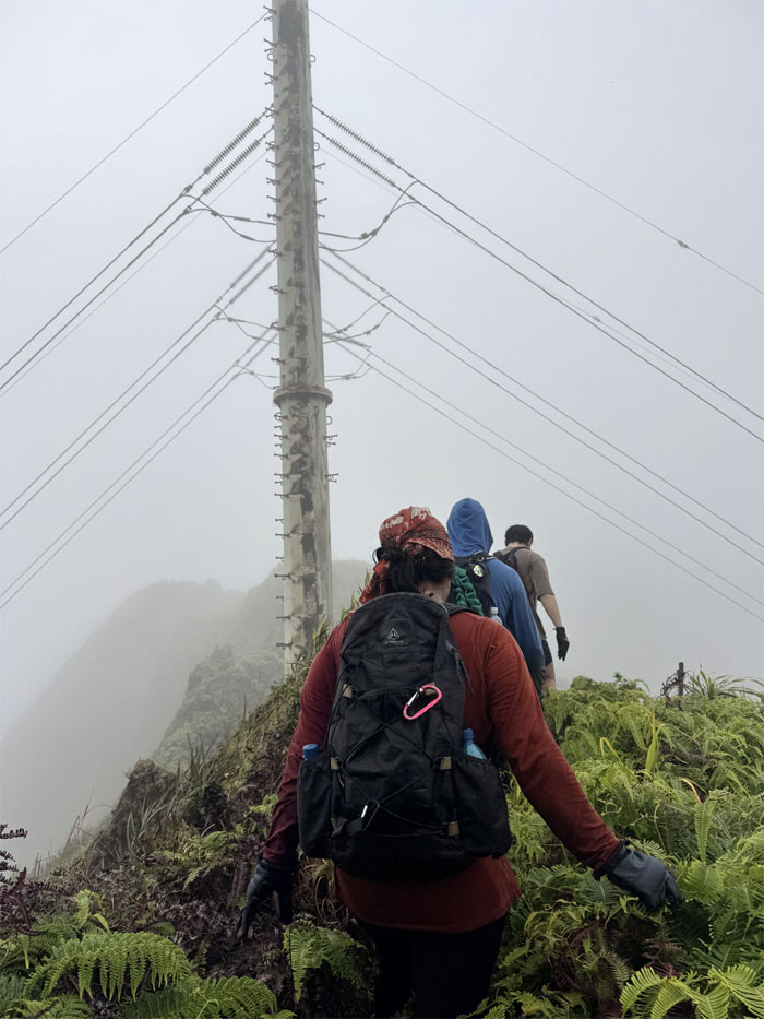
Passing multiple sets of power line towers that transfer power from East to Windward.
Kaho’omoe’ihikapulani
Last group photo of the day at the summit most commonly referred to as Tripler, for obvious reasons.
Tripler Ridge
We left the 2,706′ peak and the clouds and rain as sunshine and other company soon greeted us on the trail.
Tripler Ridge
Going off the ridge and descending down the “End of Valley” trail. There used to be a green HTMC sign that marked the junction, now the only visual reminder is a weathered rope. Perhaps a victim of weather or scavengers.

Moanalua Valley
Hitting the valley floor that is initially covered in head high ginger plants and California grass.
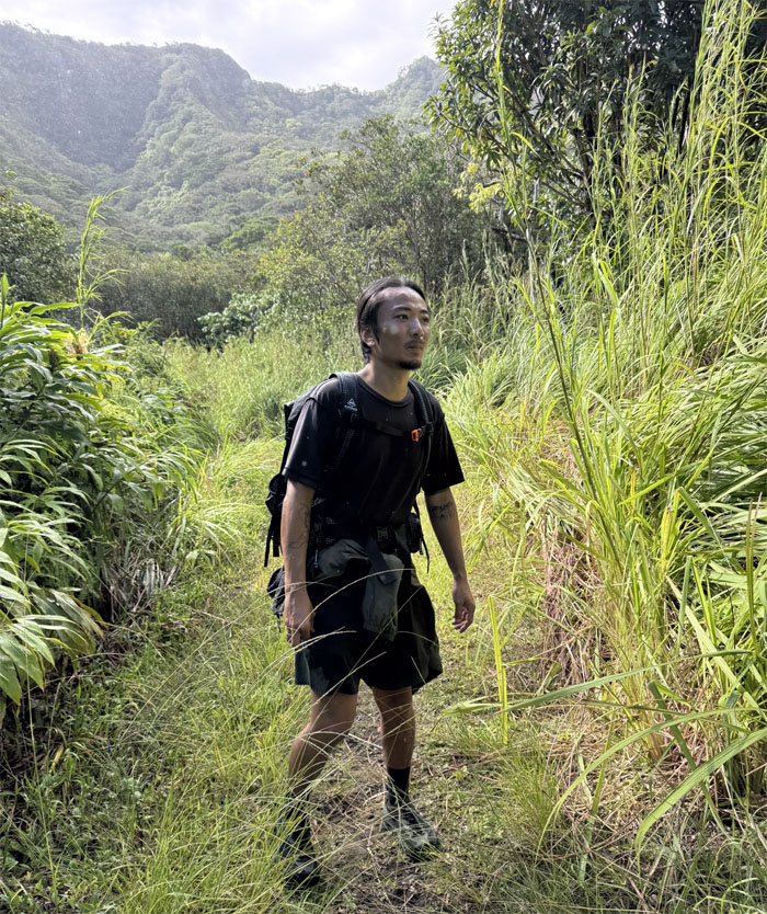
Moanalua Valley
We soon met up with a patient Kenny who had been waiting for us at the Kulana’ahane Junction and we walked out the long road together.
All pau
Our day in the mountains covered 10.66 miles through inclement and sunny weather made bearable by hearty company. Post hike meal at Wendy’s so that the carnivores could join us. One to eat and one to socialize.
Photos taken by Akira Suzuki, Deborah Tom, Jace Quinata, Jeremy Cannone, Kenny Lui, Scott Peterson, Tessa Bugay and yours truly. Not necessarily in order.
Note: I have been made aware that some hikers have been using my blog as a hiking guide and getting lost on the trails. Please note that this blog was made to document the hike for the crew(s) that did it. That is why some of my comments will seem to have no relevance or meaning to anybody outside of the crew(s) that hiked that trail. My blog was never meant as a hiking guide, so please do not treat it as such. If you find inspiration and entertainment from these hikes, that is more than enough. If you plan on replicating these hikes, do so in the knowledge that you should do your own research accordingly as trail conditions, access, legalities and so forth are constantly in flux. What was current today is most likely yesterdays news. Please be prepared to accept any risks and responsibilities on your own as you should know your own limitations, experience and abilities before you even set foot on a trail, as even the “simplest” or “easiest” of trails can present potential pitfalls for even the most “experienced” hikers. One should also always let somebody know of your hiking plans in case something doesn’t go as planned, better safe than sorry.
{ 0 comments… add one now }