Joining me on this hot and humid day to tackle my last segment of the Waianae Summit Trail (WST) were Chris and Thessa. Photo by Thessa Bugay.
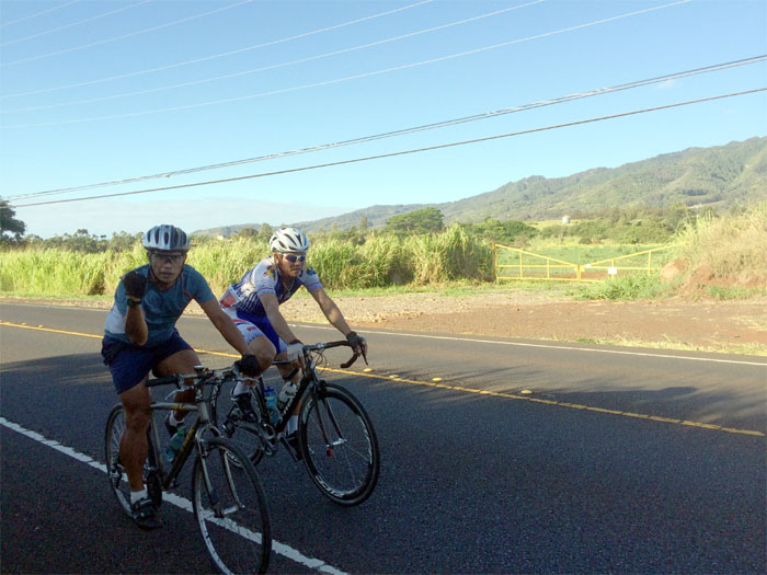
There were more bicycles on the road than cars this morning, due to the 112 mile Dick Evans Memorial Road Race.
Where are the farmers? Photo by Chris Chun.
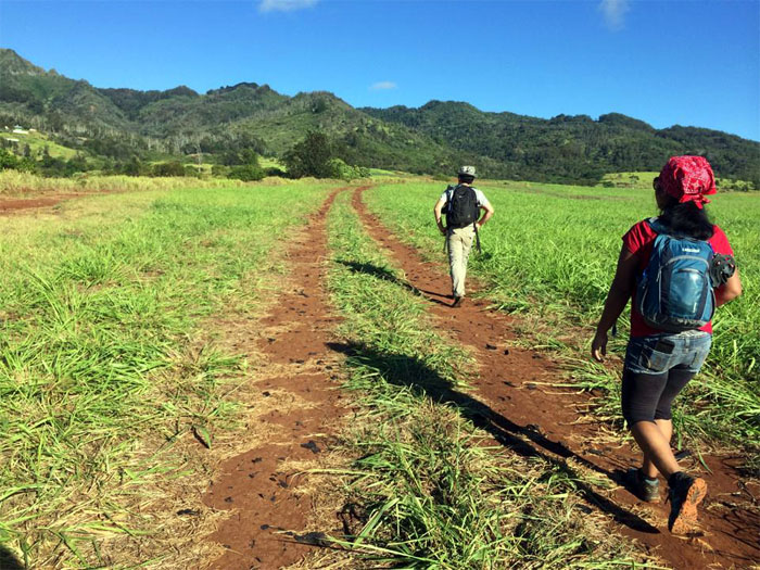
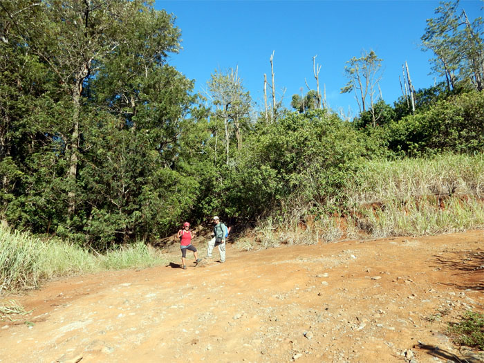
Thessa and Chris in front of the trailhead that lead us into part of the Honouliuli Contour Trail.
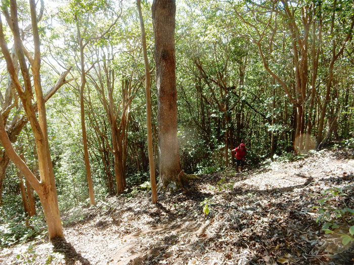
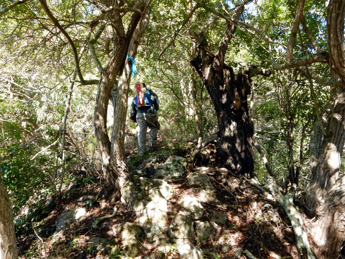
We soon left the trail to begin our push up the steep ridge lined with strawberry guava trees. The carpet of leaves was particularly thick under our feet; fun sliding down, not so fun going up.
The ridge is straight up with a couple weak switchbacks thrown in the middle. As we neared the top, the vegetation became thicker and wet.
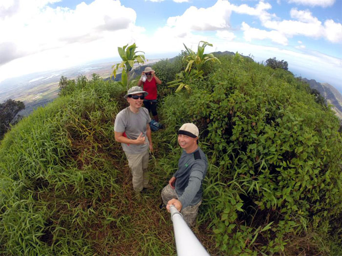
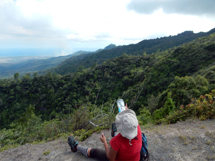
Clear and hot day on the 3,127′ summit; with views of the Ko’olau Range, Central Oahu and the Leeward coast and valleys. We tried in vain to spot our friend, Jose on the KST, where he was hiking from Pupukea to Waiahole. Where were the trade winds when you need them? Photo by Chris Chun.
Click here for the larger image towards the leeward valleys and Mount Ka’ala.
The grass was head high at the summit, when we finally pushed our way through, a familiar sight awaited us. The fence line.
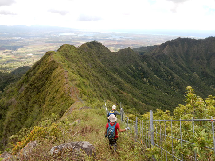
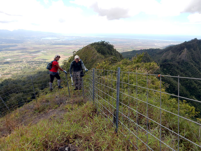
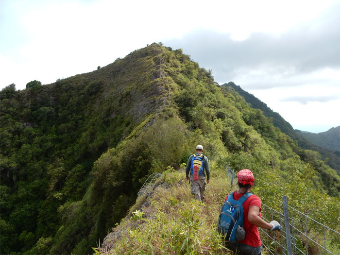
The fence soon turned left and down a spur ridge. We hopped the fence to stay on the Waianae Summit Trail (WST).
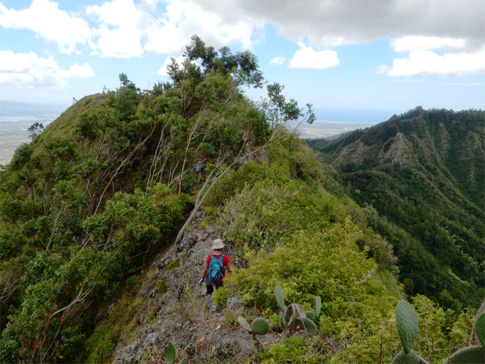
No fence, just nature.
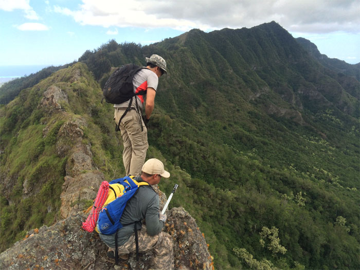
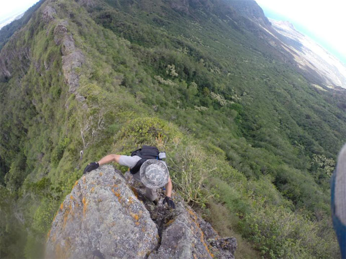
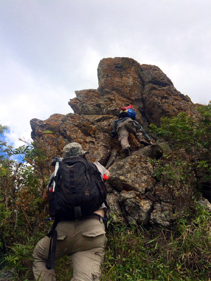
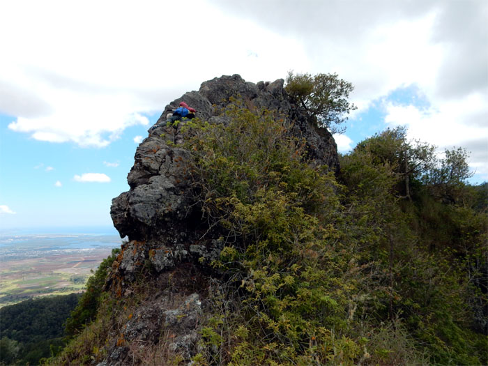
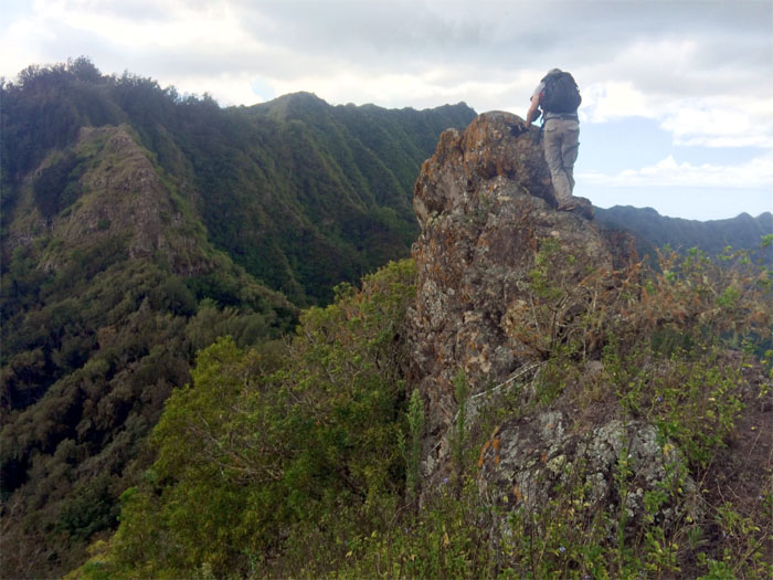
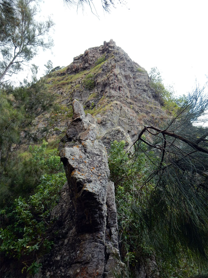
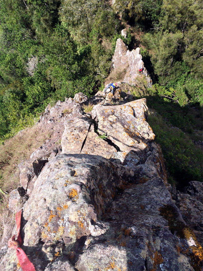
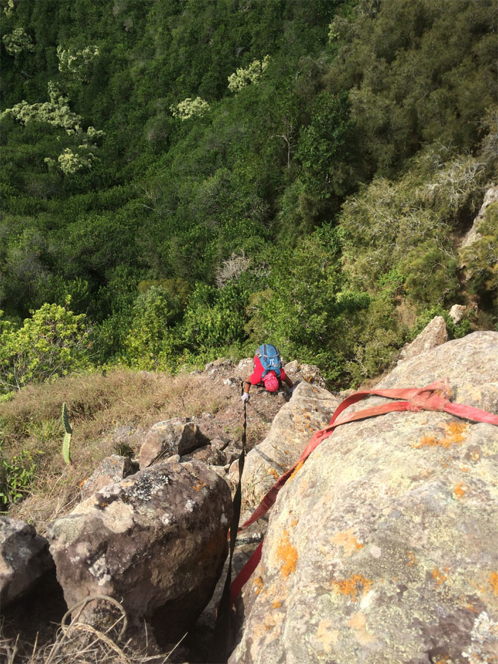
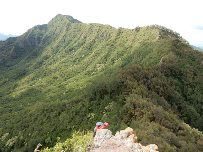
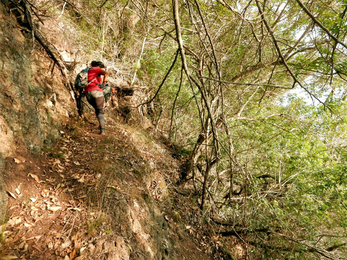
This section until the pass contained the most rock climbing found on the WST. Photo by Thessa Bugay.
Making my way down. Photo by Chris Chun.
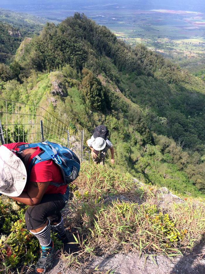
Thessa making her way down.
Chris making his way down. Photo by Thessa Bugay.
It was like being at an outdoor rock jungle gym. All to ourselves.
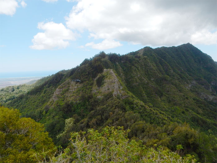
A helicopter flew right past us and continued below the ridgeline. I want to be on one of those aerial tours.
We worked our way around the clump of trees to continue our hike.
Dropping into the saddle. Photo by Thessa Bugay.
Watch out for falling rocks.
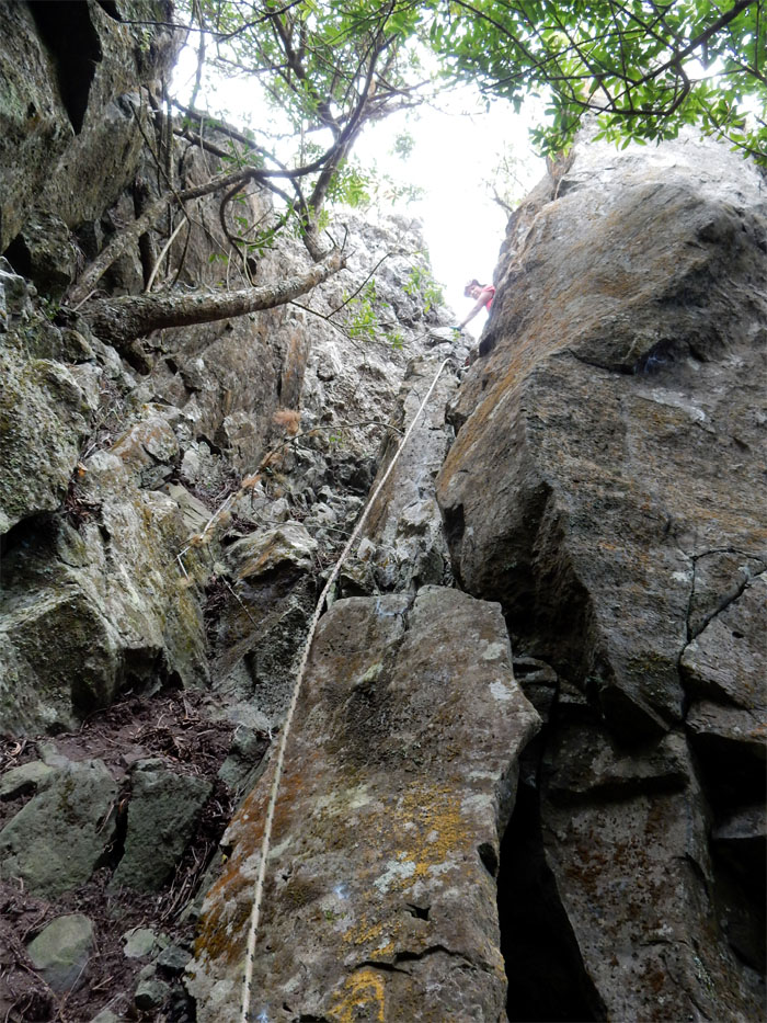
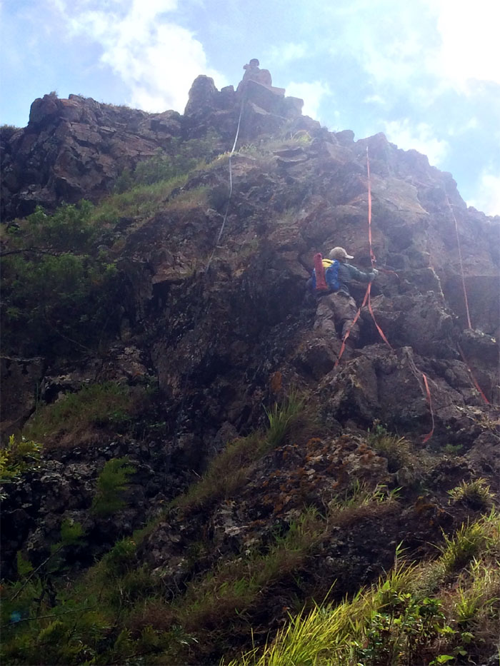
We meet again. Took a quick break at the base and inspected what we expected. 80′ of crumbly rock. Is that webbing?
Climbing up the pass, I found out the webbing that was oddly placed was of no help. Photo by Thessa Bugay
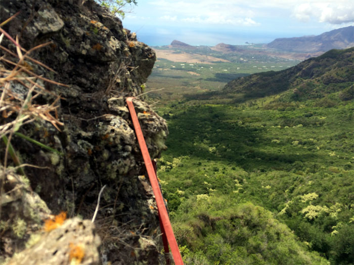
The webbing had snapped from the top anchor and fallen onto this rock. A dangerous false illusion of assistance when in fact the webbing was anchored to nothing. Guess it was free climbing for me. Should have joined the VRG.
Once at the top, I let out an elated whoop. My WST journey was completed. I then secured my 100′ of webbing around the anchor rock and dropped it to Chris and Thessa.
As Chris made his way up the cliff, the old webbing came off the rock. Good riddance. Photo by Thessa Bugay.
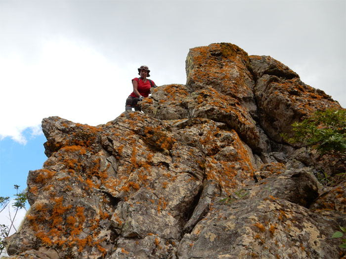
Sitting on the anchor rock. Photo by Chris Chun.
Thessa making it look easy.
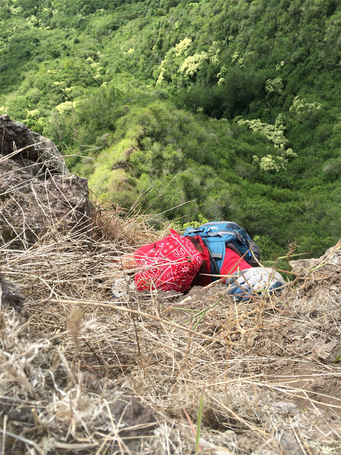
The top of the pass was extremely crumbly. Dirt crumbly. Nice to have a helping hand.
Leaving behind the hardest parts of the hike. Pu’u Kaua in the distance. Still had a lot of ground to cover.
The fence line came back to greet us, like an old friend.
Huffing and puffing our way to the top. Photo by Chris Chun.
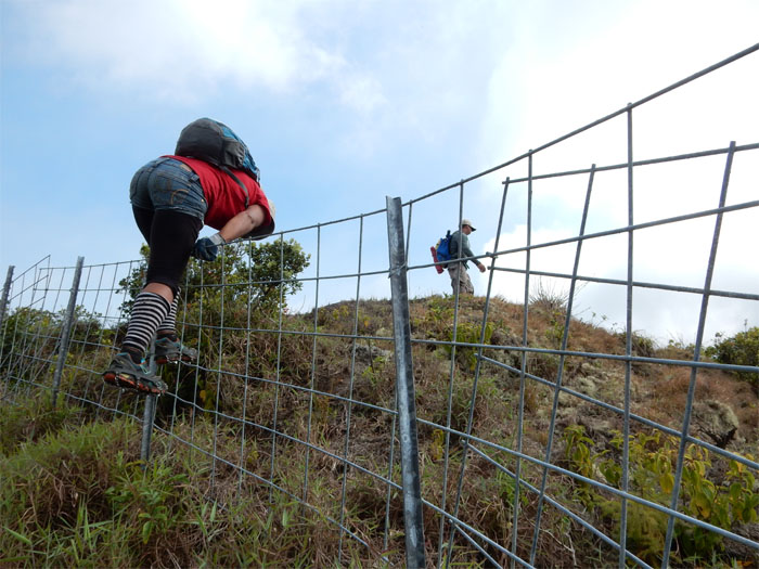
Climbing over another fence, meant to keep out goats and pigs. We are not farm animals!
Smoke coming from a ridge near Makakilo. Fire was over a week old.
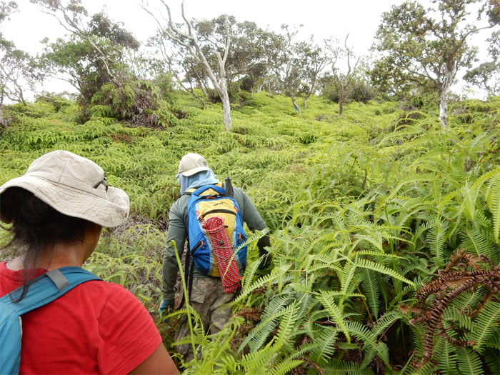
The uluhe ferns were thick and tangled. Chris, like the true Spartan he is, bulldozed through the fern nightmare.
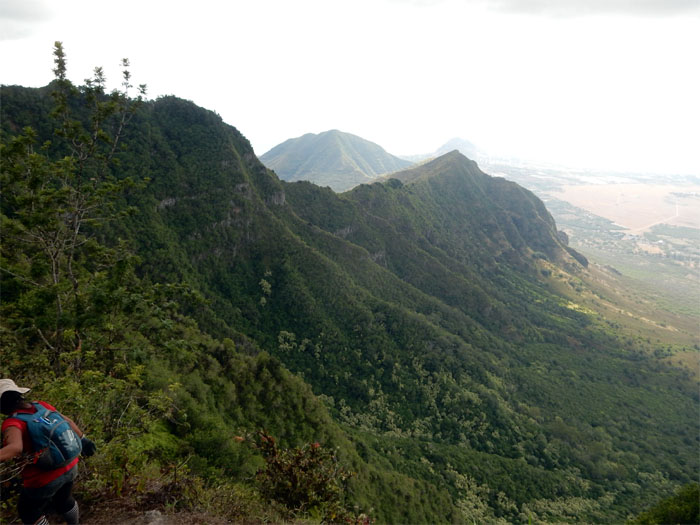
Looking at the ridge that connects Palikea to Heleakala out in Nanakuli.
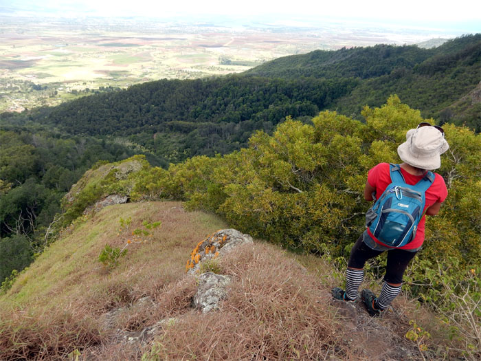
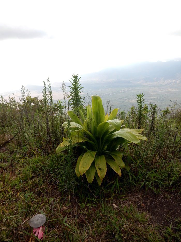
The ti leaf plants seem to have dwindled in numbers at the 3,098′ summit. Clear views of Nanakuli and Lualualei Valleys were available for our viewing pleasure.
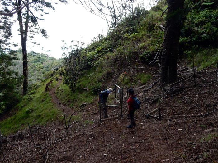
Thessa had wanted to check out the tree snails and happy face spiders at Palehua, but time was running short, so we made our way out of the Honouliuli Preserve. Chris, always the gentleman, opened the gate for Thessa. The fenced area contains a lot of native fauna and flora that are best guided with an experienced eye.
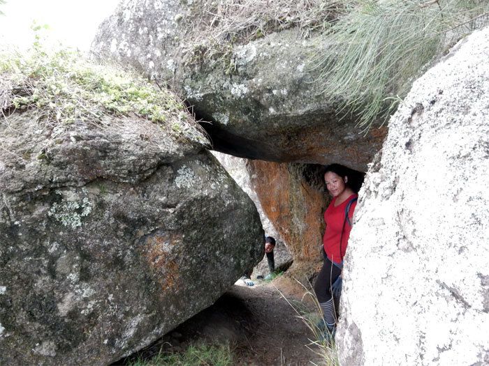
Making our way under some very large boulders.
It was turning out to be another long day on the trail.
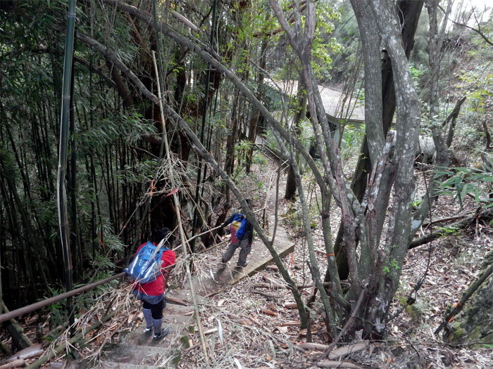
Chris and Thessa walking down the stairs that leads to the communications site at the top of Palehua Road. Oh yes, the road. All five miles of paved goodness.
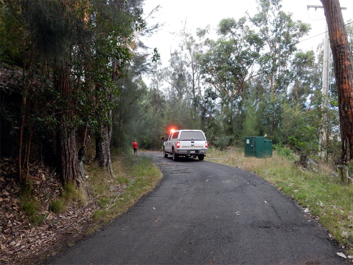
As we were walking down, numerous fire trucks were traveling up and down the road. The smoldering brush fire had flared up again.
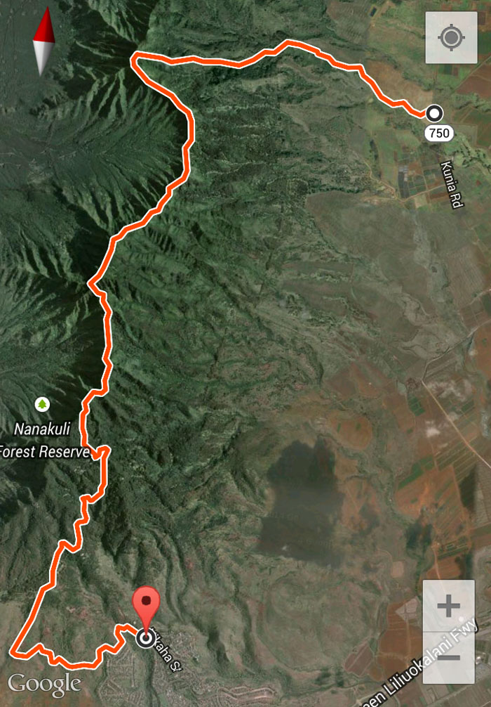
The 15 mile hike actually ended up roughly 11.5 miles under our feet. We lucked out and got a ride down the rest of the road. As we were driving down the road, a family of pigs were blocking the road and they didn’t take too kindly that they had to move off. One pig even gave chase after our truck. Lucky we weren’t walking on the road. Don’t think we were in any condition to outrun pigs. Post hike meal at Ruby Tuesday. No prime rib? Had to settle for steak and rock lobster. Times are hard. Awesome hike with great friends.
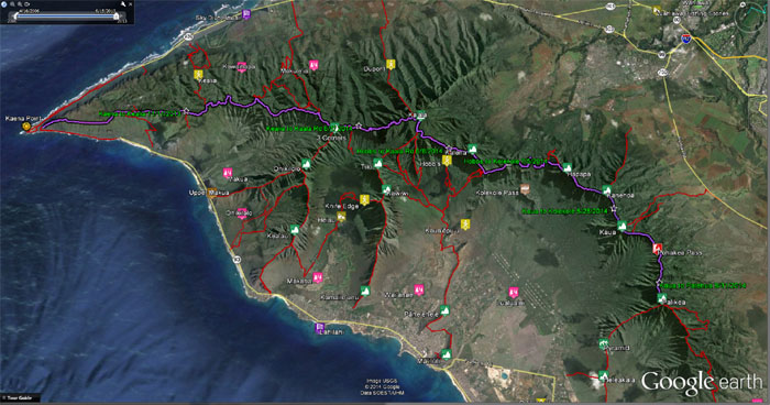
Click here for the larger image of my section hikes across the Waianae Summit Trail. Map by Marvin Chandra.




{ 0 comments… add one now }