We dropped in at Zion National Park and secured walk in permits for Left Fork of North Creek, more commonly called The Subway. The Narrows on steroids. Photo by Lilyn Avendano.
Met up with Aida’s friend, Mark who had drove up from Las Vegas to hike with Aida originally as the rest of us had planned to hike from the top down. Plunging temperatures and lack of wetsuits threw that plan out the proverbial window.
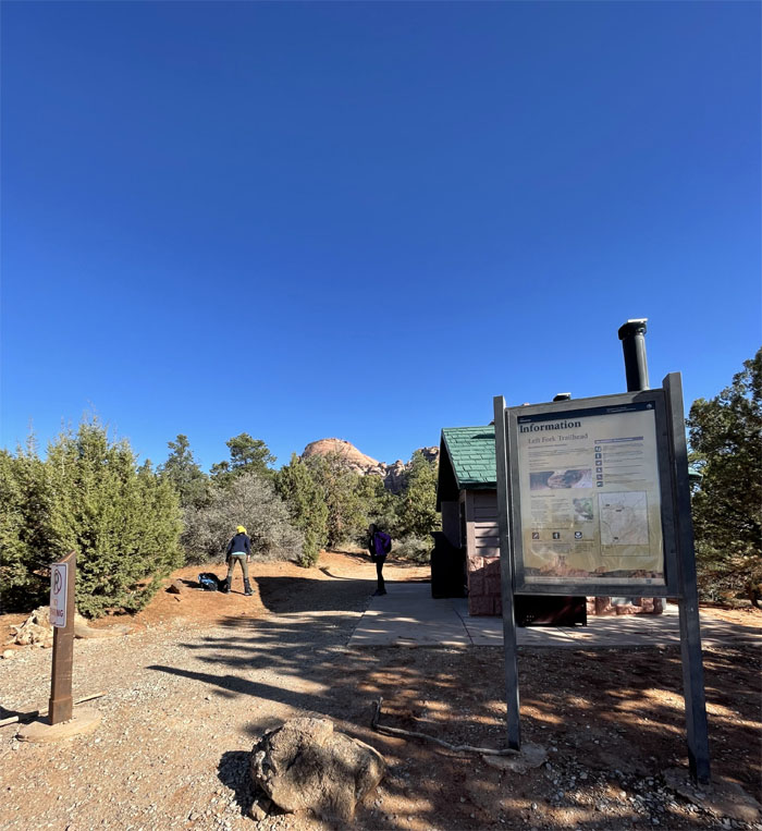
Entering a wilderness that is recognized as “an area where the earth and its community of life are untrammeled by man, where man himself is a visitor who does not remain.”
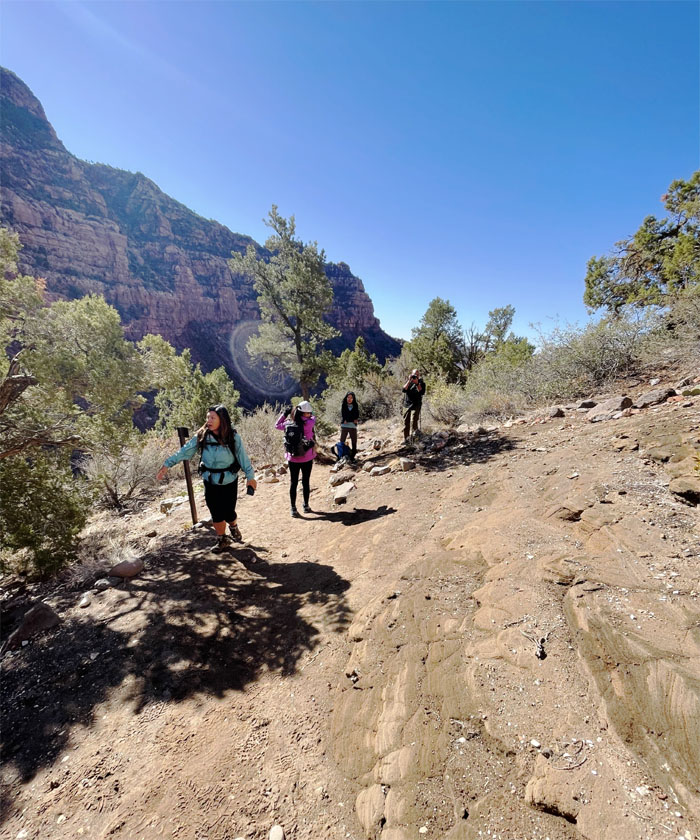
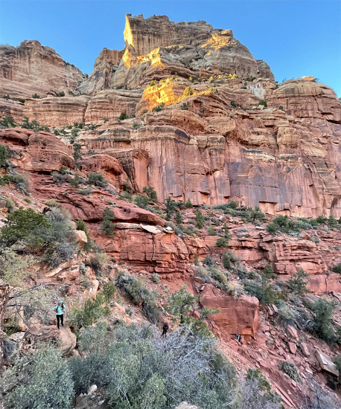
Going down the side of the cliffs. Photo by Aida Gordon.
Who brought the 300′ of rope? Photo by Lilyn Avendano.
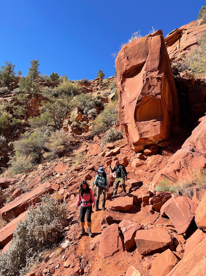
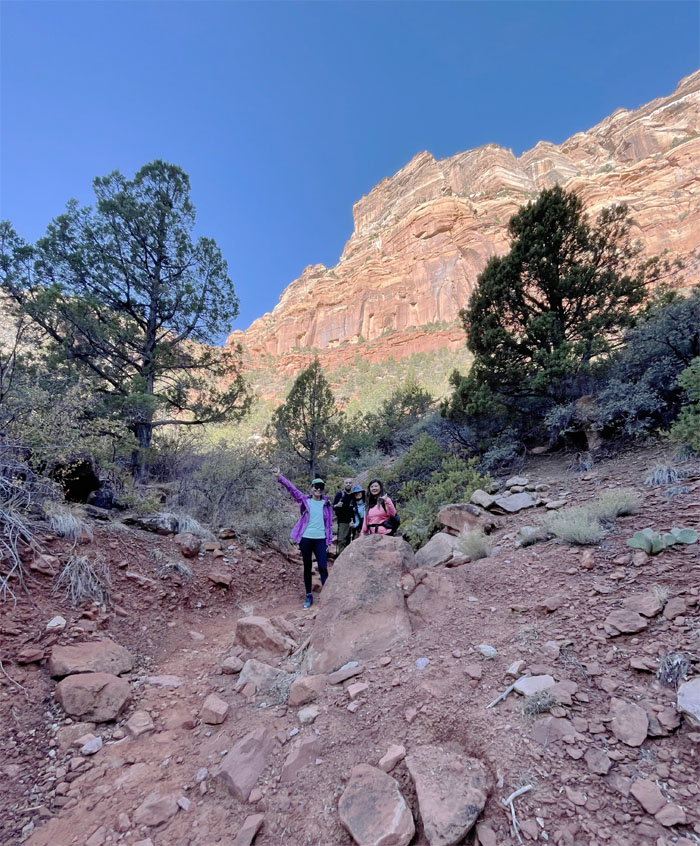
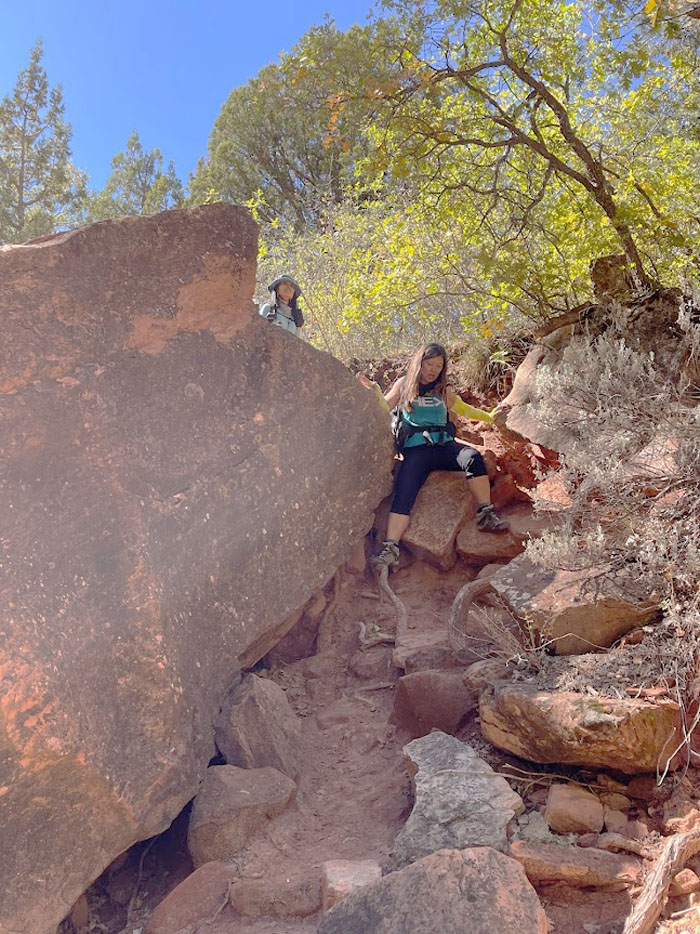
Scrambling down a short section of loose rocks before we hit the creek.
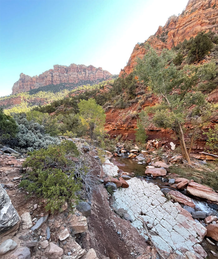
Following the stream like so many spawning salmon.
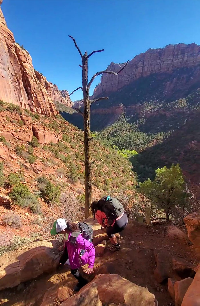
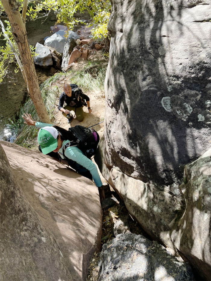
Now how do I get back down without dropping my phone? Too late. Photo by Aida Gordon.
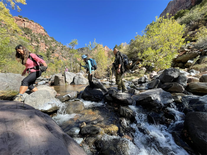
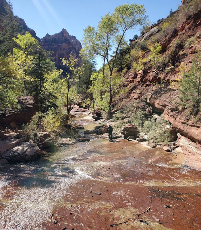
One of many creek crossings on the trail. Despite the NPS (National Park Service) stating that there is no trail and that this is an off-trail wilderness route, there is an fairly obvious trail alternating on both sides of the creek bank.
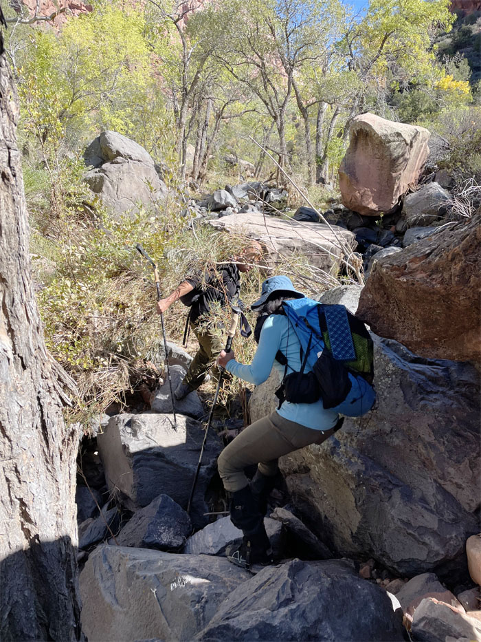
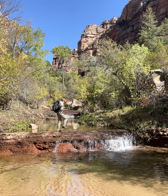
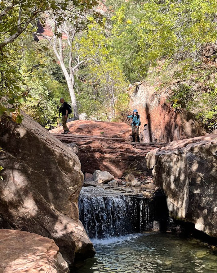
Alternating between boulder hopping in the stream and on the banks.
Trying to stay dry as long as possible. Somebody said we weren’t getting wet today. I also believe Guy Hagi. Photo by Lilyn Avendano.
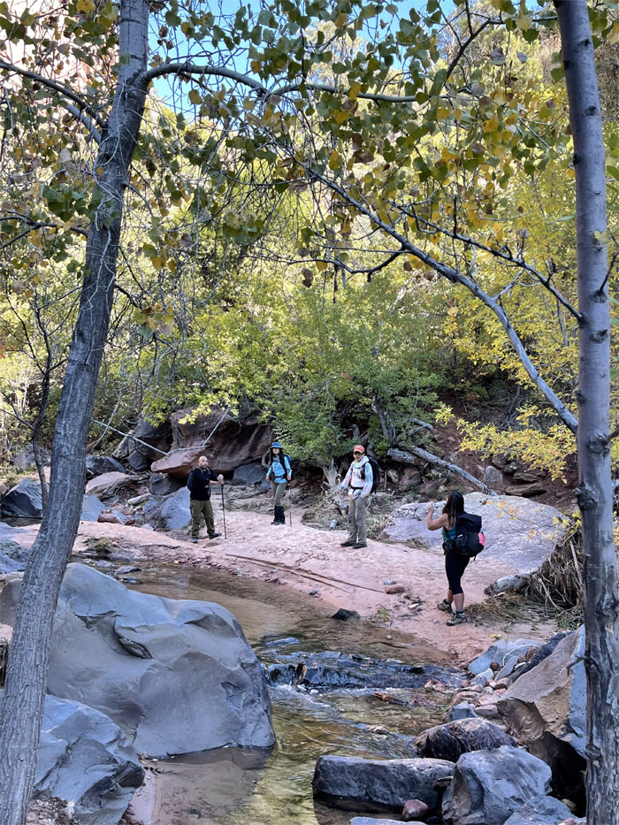
Everybody going their own way.
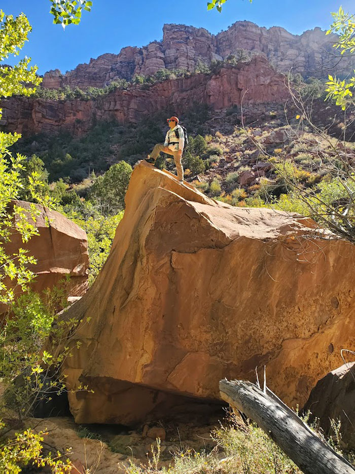
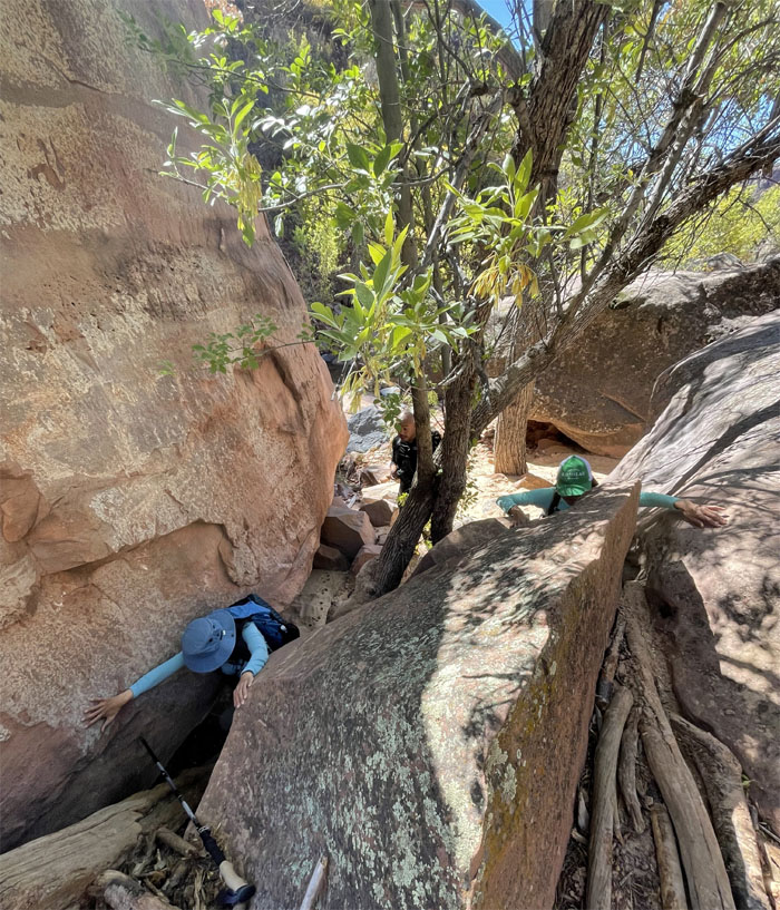
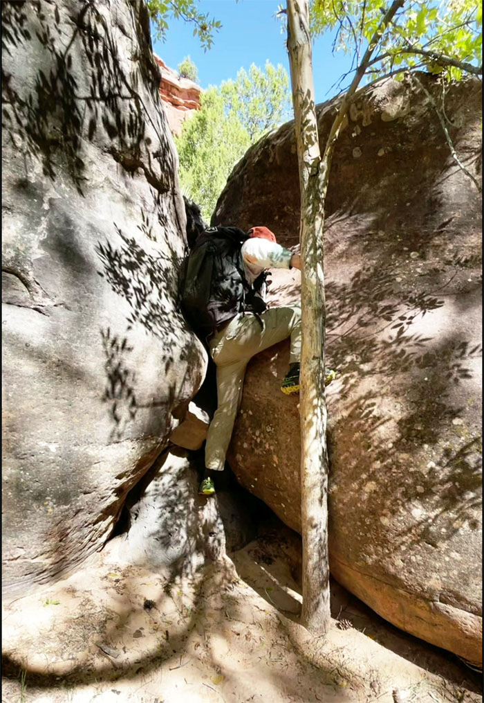
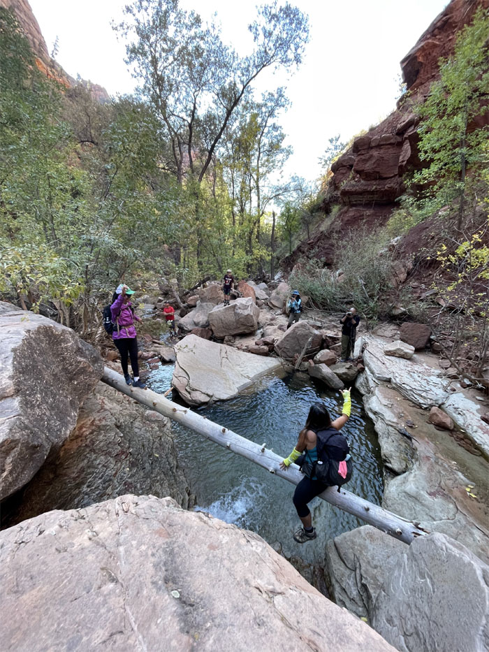
Going up a rock and a hard place. Photo by Lilyn Avendano.
It can’t be that hard. Let me try.
I think we missed the dinosaur tracks. 37°17.986 N, 113°04.207 W for future reference. Photo by Lilyn Avendano.
Trying not to get my feet wet. Photo by Lilyn Avendano.
Quan scrambling around a boulder. Photo by Lilyn Avendano.
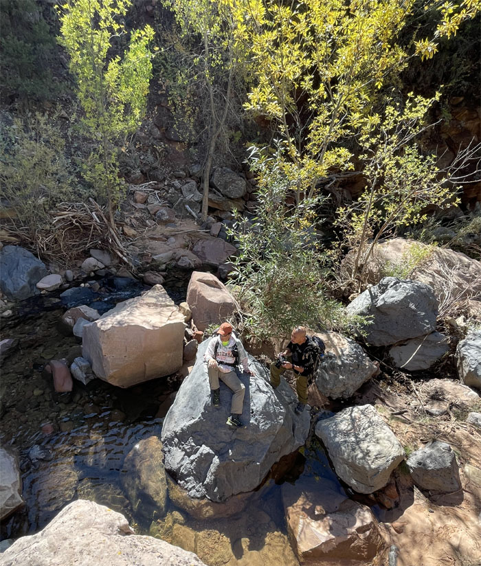
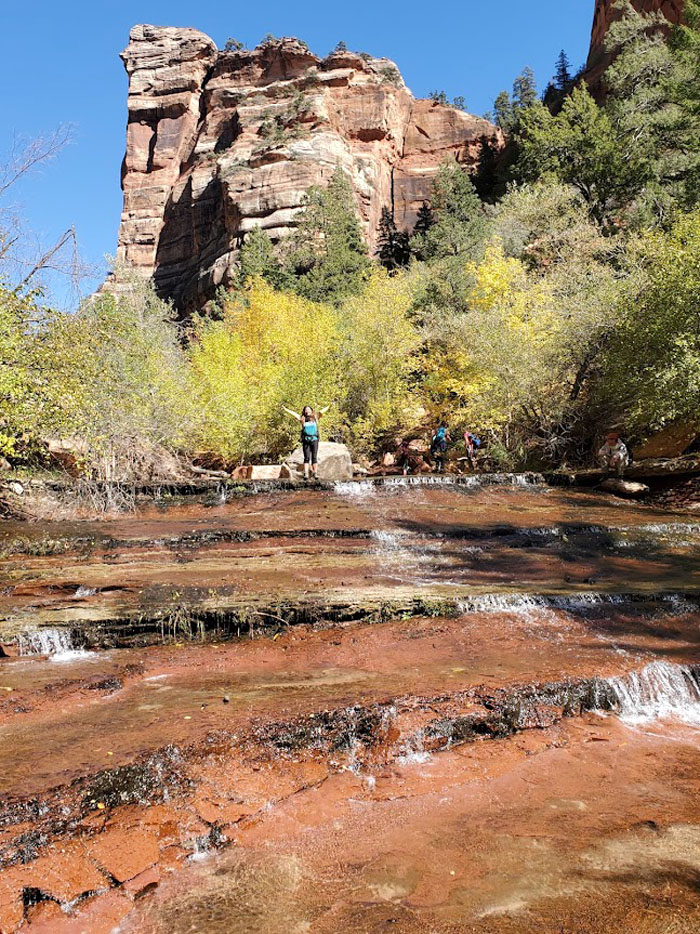
These trees are made for sittin’ and standing’. And that’s just what we’ll do. So take our picture!
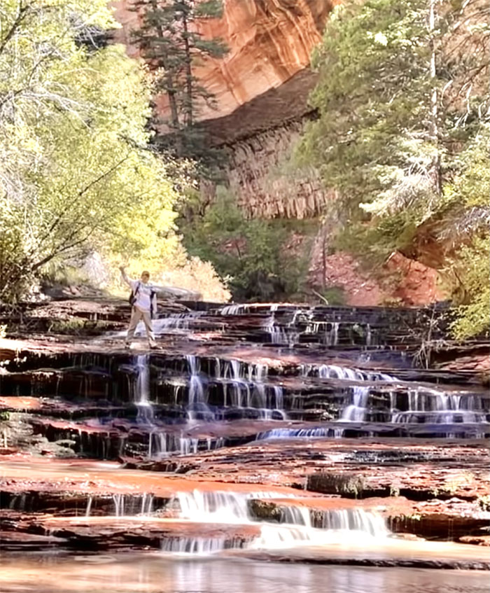
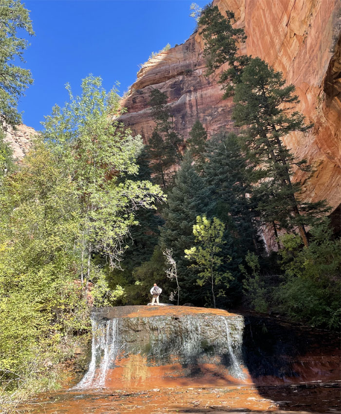
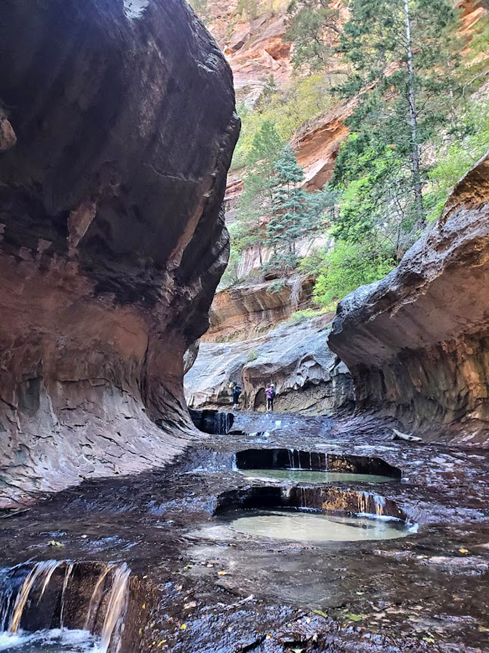
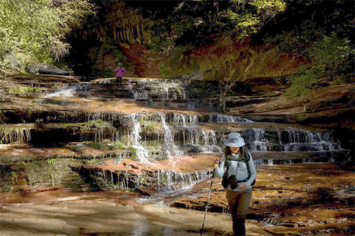
Quan standing at the terraced waterfall.
Watching the water flow down the sandstone ledges towards Mark.
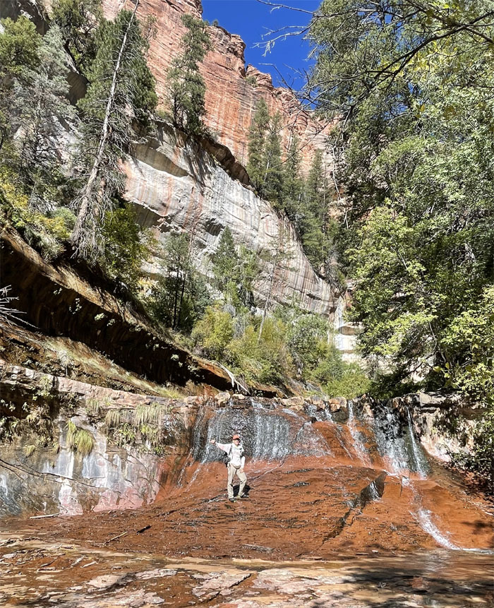
Getting my feet wet at the staircase waterfall. Who said we didn’t need waterproof shoes? Photo by
Contouring and climbing my way up the first 15′ waterfall.
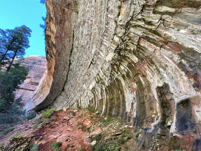
Passing a massive alcove carved into the side of the cliff that looks like its painted with natures colors.
Standing in front of the second 15′ waterfall.
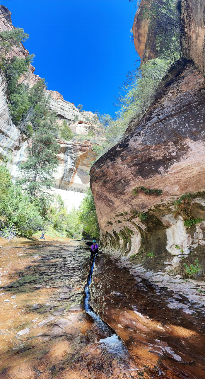
Lilyn straddling the crack as the water flowed down and then cascaded down the terraced falls.
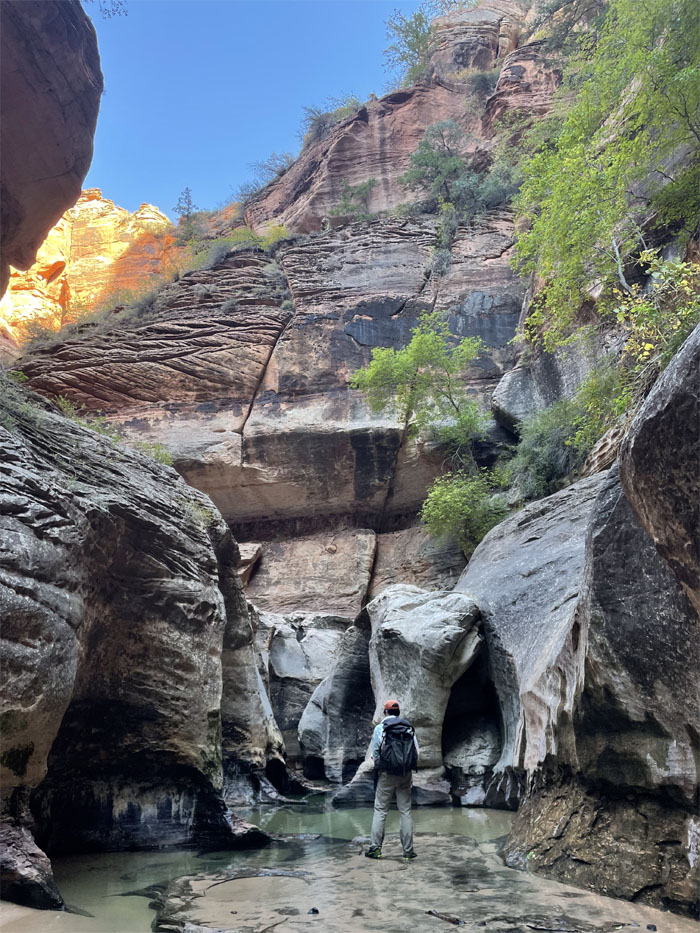
Standing at the entrance to the lower subway, made famous by countless other hikers and photographers before us.
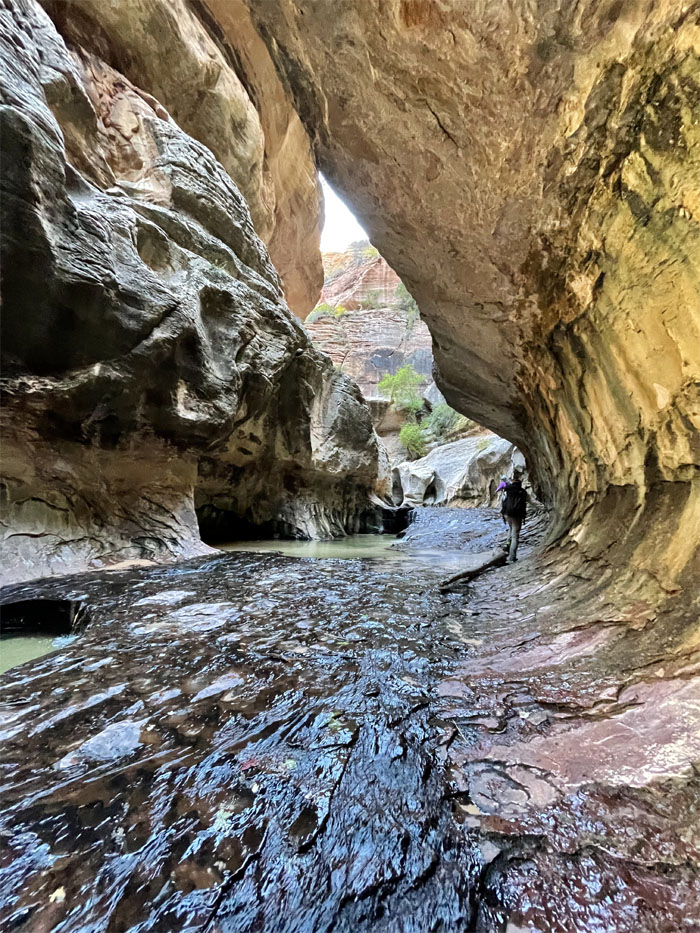
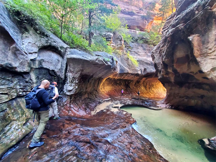
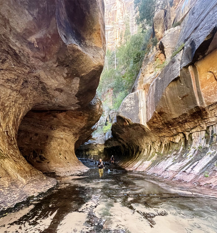
Entering the tube that was gouged out of the slot canyon by the power and persistence of flooding waters. I read that rivers on average can cut through three feet of solid rock every thousand years.
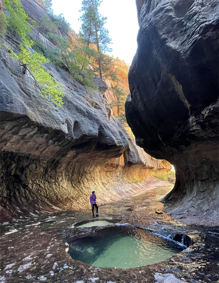
Passing one of many emerald pools as we walked on the slick rock. Photo by Aida Gordon.
End of the road for us. The adults only. Not for one particular kid.
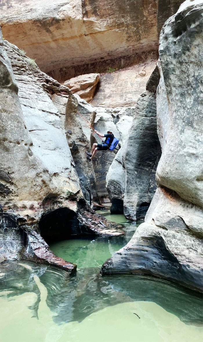
Watching a group rappel their way down.
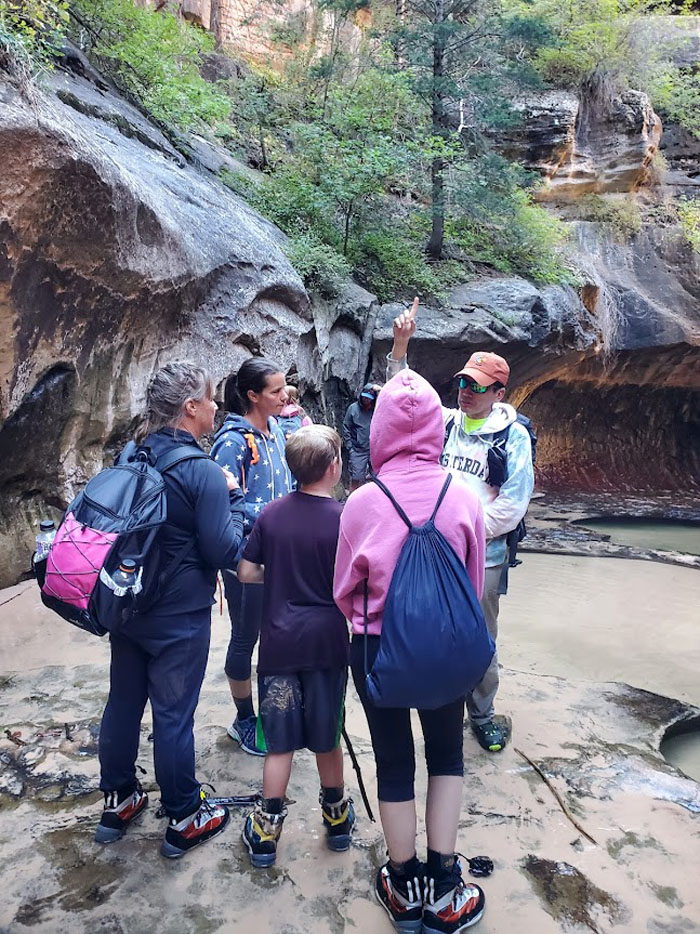
Trying to explain how to get to Stairway to Heaven to people from Utah. Thanks Aida! Photo by Aida Gordon.
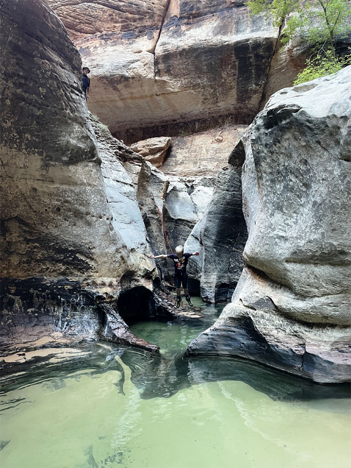
This kid just took the plunge into the icy pool. Photo by Quan Haberstroh.
Trying not to slip on our way back out. Photo by Aida Gordon.
Lilyn standing next to a deep and cold looking pool.
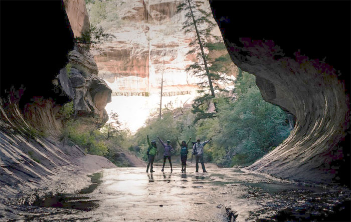
Group photo by Mark Nemenzo at the mouth of the subway.
Leaving the curved walls of the subway and into the arms of the warming sun.
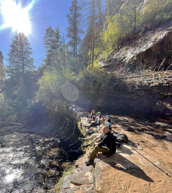
Group photo at our lunch spot above one of the small waterfalls.
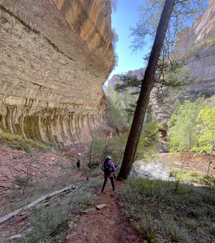
Making our way down the painted alcove.
Aida stepping her way down the staircase waterfall. Photo by Mark Nemenzo.
Creek crossing.
Scrambling up the slippery sandstone.
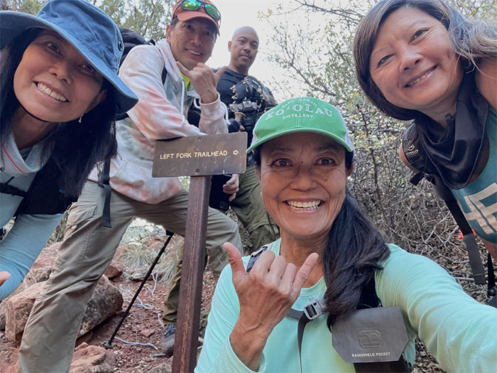
We followed the creek until we hit the sign, which marked the end of our relatively flat hike.
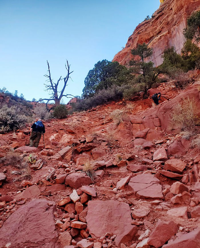
Going up the 400′ slippery slope with loose rocks underfoot. Photo by Aida Gordon.
Contouring to the left so we didn’t have to hike any unnecessary elevation gain.
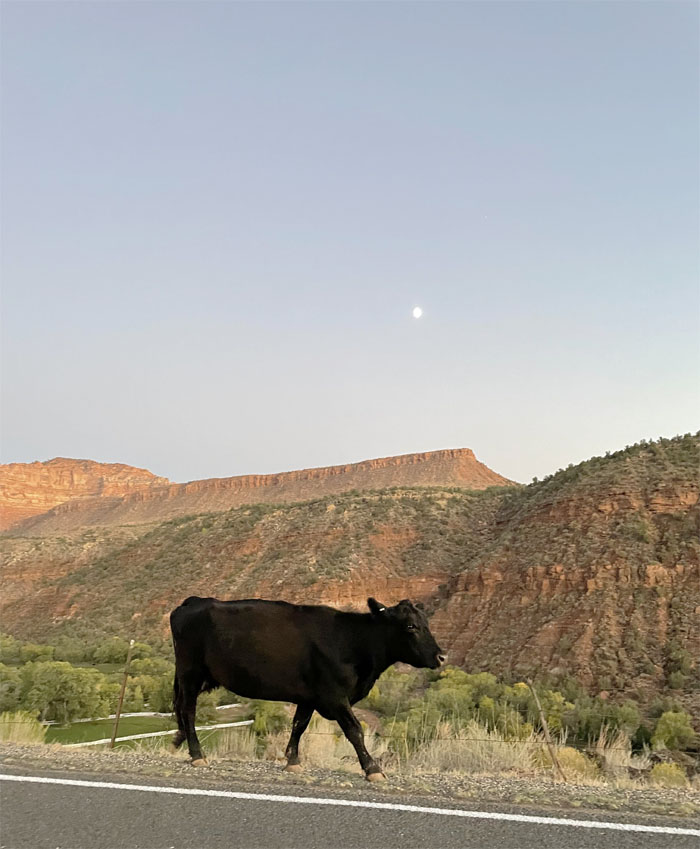
What’s for dinner? The roaming cow gave us an idea. Post hike meal at Zion Canyon Brew Pub where bison burgers and fries hit the spot.
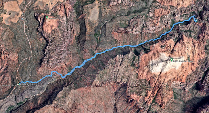
Our hike which is the third most sought after hike in Zion National Park, after the Narrows and Angels Landing, covered 8.39 miles through a geologic wonder filled with stunning scenery and vibrant colors. I’ll be back. Top down next time.
Note: I have been made aware that some hikers have been using my blog as a hiking guide and getting lost on the trails. Please note that this blog was made to document the hike for the crew(s) that did it. That is why some of my comments will seem to have no relevance or meaning to anybody outside of the crew(s) that hiked that trail. My blog was never meant as a hiking guide, so please do not treat it as such. If you find inspiration and entertainment from these hikes, that is more than enough. If you plan on replicating these hikes, do so in the knowledge that you should do your own research accordingly as trail conditions, access, legalities and so forth are constantly in flux. What was current today is most likely yesterdays news. Please be prepared to accept any risks and responsibilities on your own as you should know your own limitations, experience and abilities before you even set foot on a trail, as even the “simplest” or “easiest” of trails can present potential pitfalls for even the most “experienced” hikers.



{ 0 comments… add one now }