
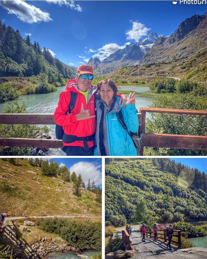
Woke up the next day to start our third day on the trail that was formalized in the early 19th century as a means so that the general public could explore and hike the surrounding areas of Mont Blanc.
Hotel Base Camp Lodge
It was hard leaving the creature comforts of our second night lodging. The show must go on. We had our usual European breakfast, packed our lunch tins and duffel bags and checked out.
Les Chapieux
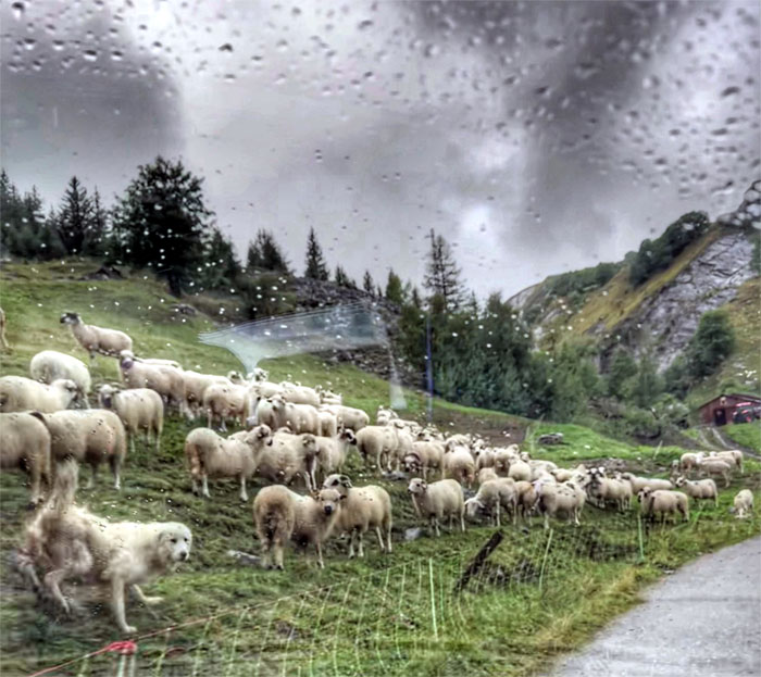
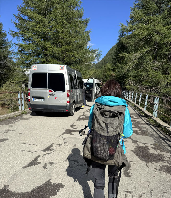
The same shuttle driver from last night picked us up and drove us to the trailhead while a sheepdog seemed to either want to herd or guard us on the way.
La Ville des Glaciers
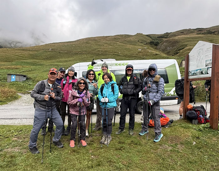
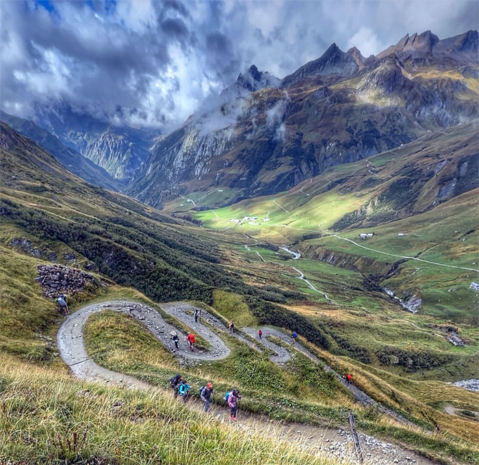
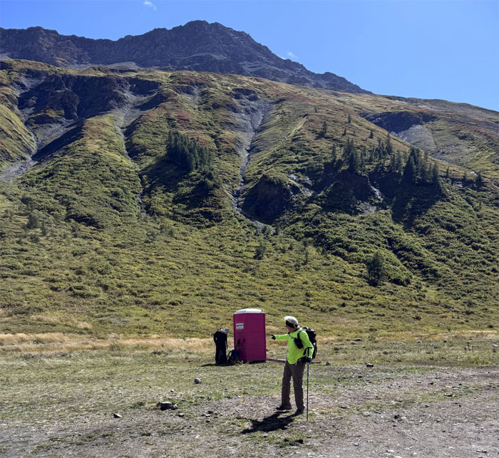
Group photo at the start of the hike, the driver said this was our only opportunity to use the last toilette in France.
TMB Trail
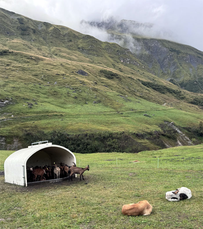
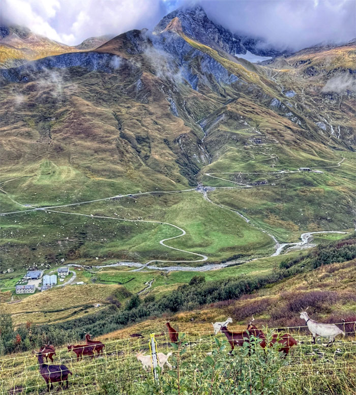
When the dogs are sleeping, the goats are roaming.
TMB Trail
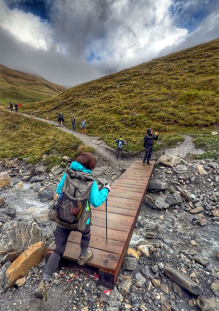
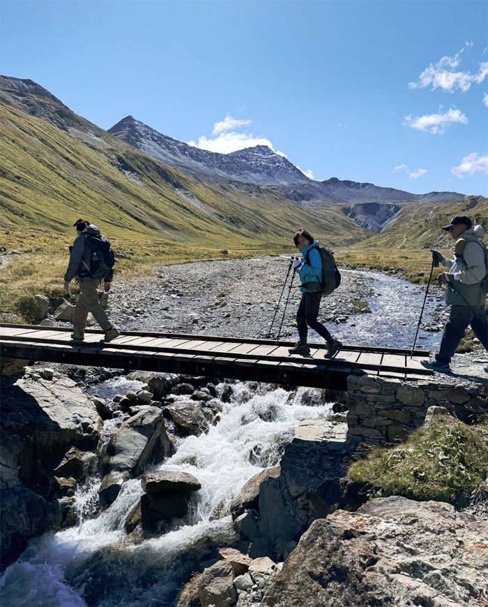
Crossing over one of multiple bridges to stay on trail.
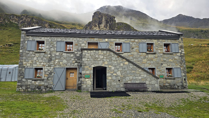
Refuge des Mottets
Somebody got iced coffee at the mountain hut where the temperature hovered around 40 degrees Fahrenheit. This place is also a donkey and mule sanctuary where the beasts of burden can take your baggage for a euro.
TMB Trail
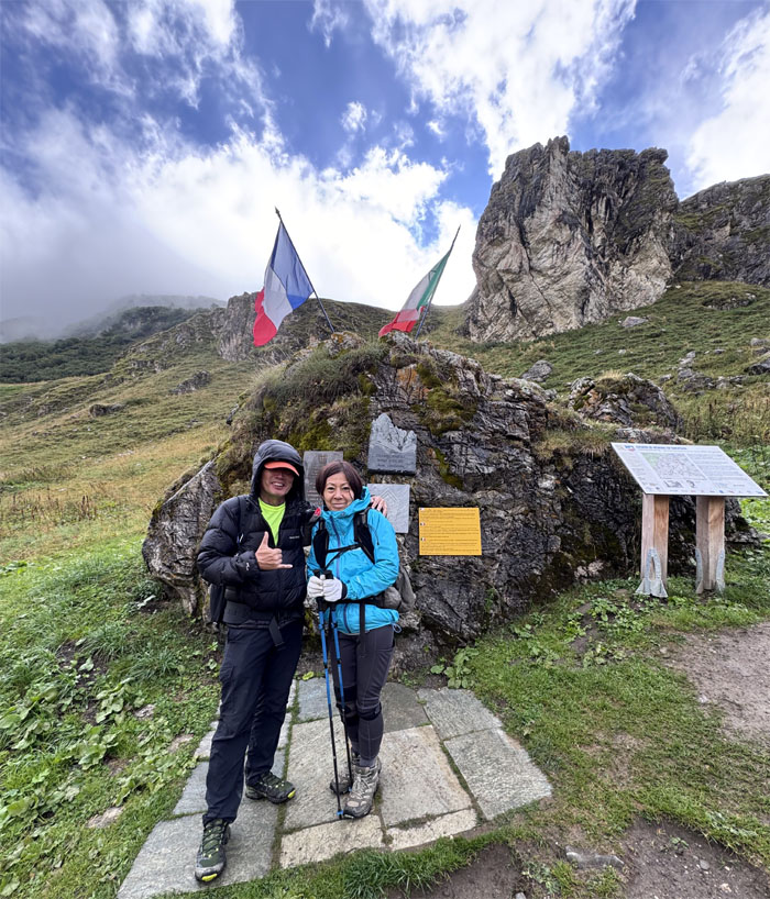
Standing in front of the monument that is dedicated to the B17 bomber crew that crashed into the Aiguille des Glaciers in 1946. The melting ice finally gave them back from 1972 through 1979.
TMB Trail
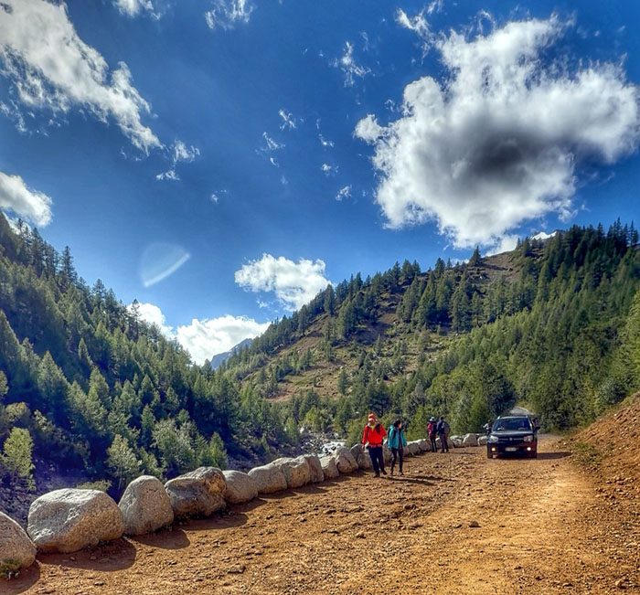
Huffing and puffing our way up the switchbacks.
TMB Trail
Cheaper to pay a fence than a sheepdog.
TMB Trail
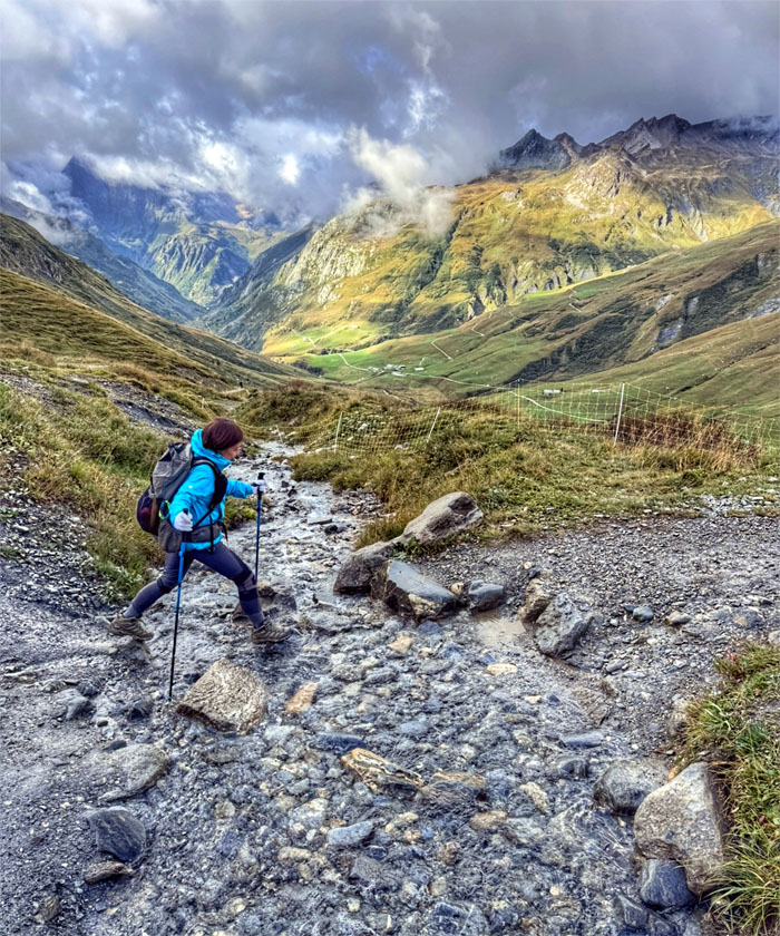
Mari striding over one of many glacier fed streams.

TMB Trail
Walking into the picturesque window of clouds.
TMB Trail
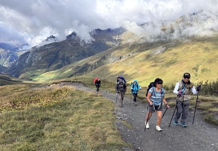
The group talking and hiking at the same time. But can they chew gum too?
TMB Trail
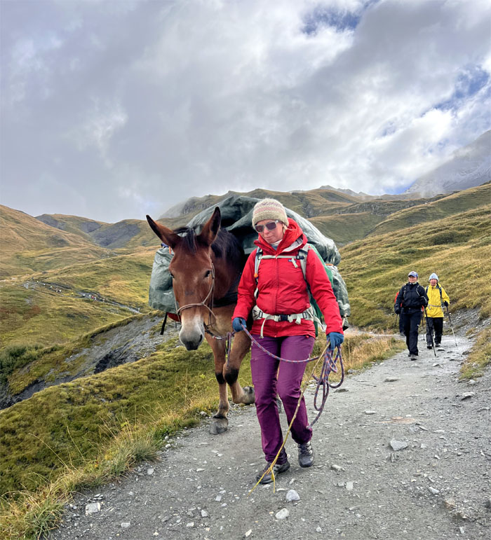
Yielding to a horse on the trail coming down. You mean we could have took a beast of burden instead?
TMB Trail
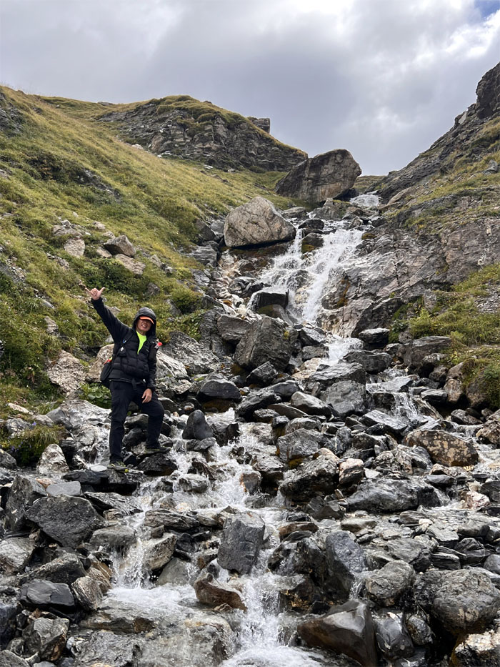
Who says I don’t like waterfalls or something that closely passes for one?

TMB Trail
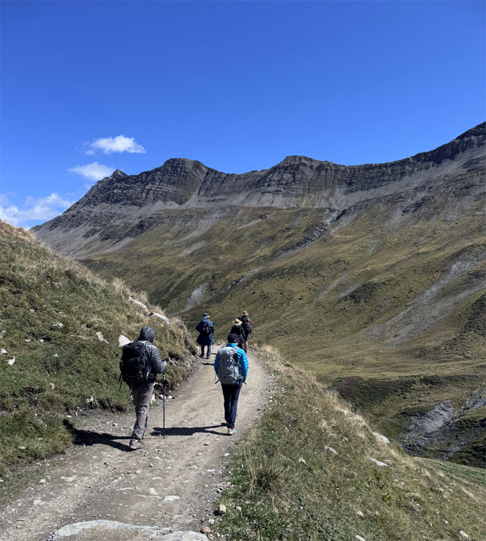
The rest of the group making their way up against the stunning backdrop of the Alps.
TMB Trail
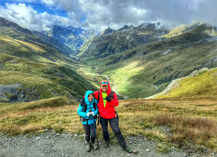
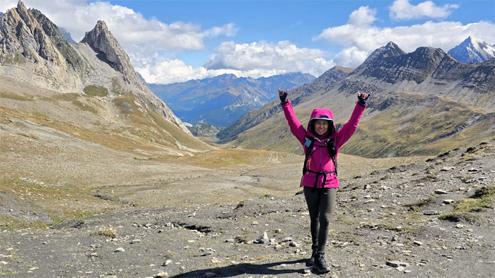
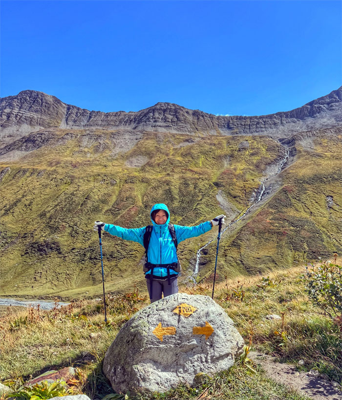
Soaking in the splendid views of the valley and mountains.
TMB Trail
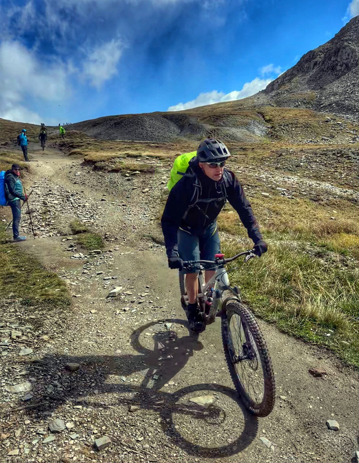
Yielding to mountain bikers hurtling down the trail. You mean, we could’ve took pedal-driven single track vehicles instead?
Col de la Seigne
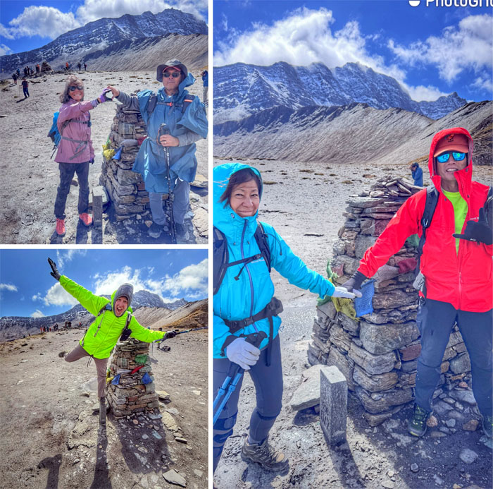
Everybody had their own way of crossing the border into Italy at the 8,241′ mountain pass. Ciao!
Col de la Seigne
The wind was biting cold, time to head down into Italy.
TMB Trail
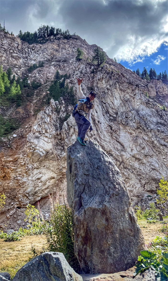
We saw this Taiwanese hiker standing on the rocks below us. Monkey see, monkey do.
TMB Trail
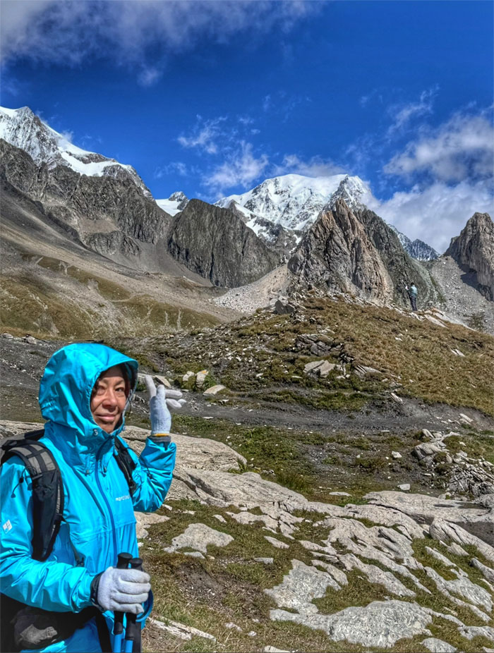
Others chose to keep their feet planted on the ground with snow capped Mont Blanc in the background.
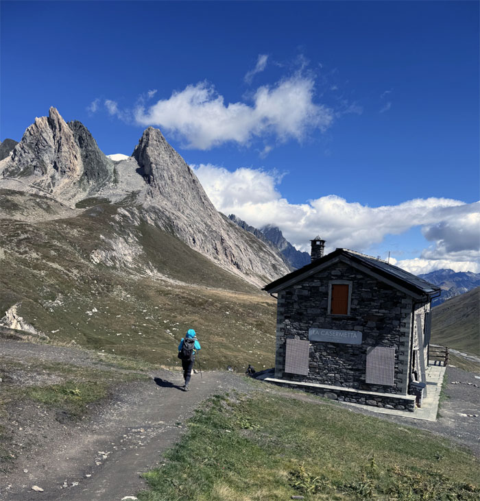
La Casermetta
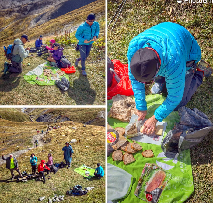
Going down the trail as we passed the former military barracks turned reception center in search of a less windy place to have lunch.
TMB Trail
We found it below the shadow of La Casermetta that was thankfully just vacated by another group. It was still teeth chattering cold for myself.
TMB Trail
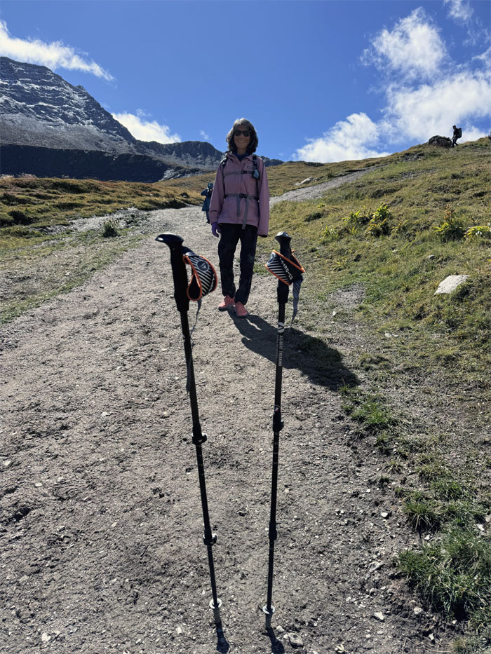
These poles are made for hiking.
TMB Trail
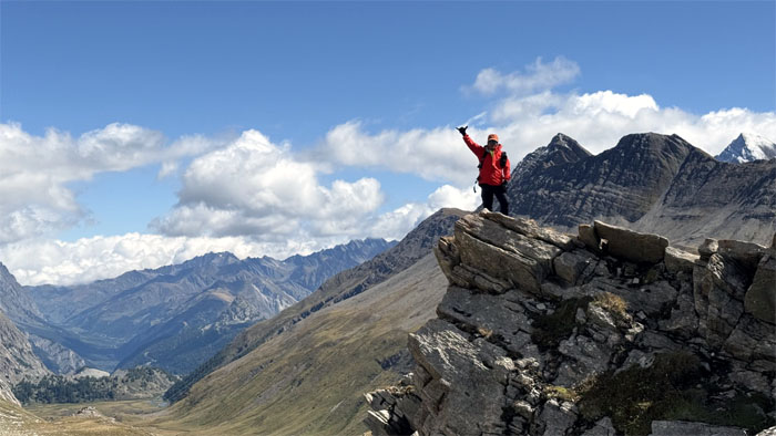
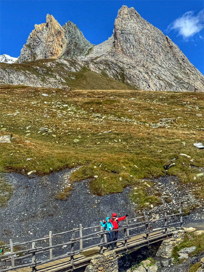
A mountain too far, with the Aiguille Noire de Peuterey that is part of the Mont Blanc Mountain Range.
TMB Trail
Easy peasy on the trail.
TMB Trail
Coming or going?
TMB Trail
Two way traffic on the trail.
TMB Trail
Who’s who? How do you say doppelganger in Italian?
TMB Trail
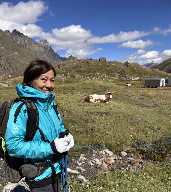
The cow was not cooperating.
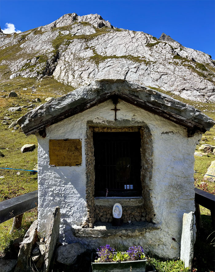
La Chapelle de Giorgio Patriarca
Early mountaineers built these structures as a place of refuge and worship as they feared the Alps were the abode of demons and dragons.
TMB Trail
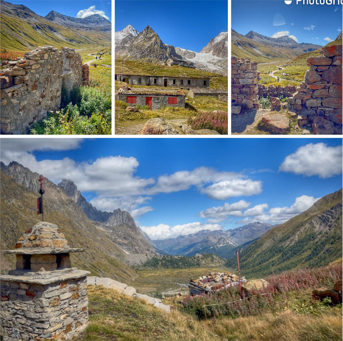
Chico explored the old military ruins that dates back to when France and Italy were not on friendly terms.
TMB Trail
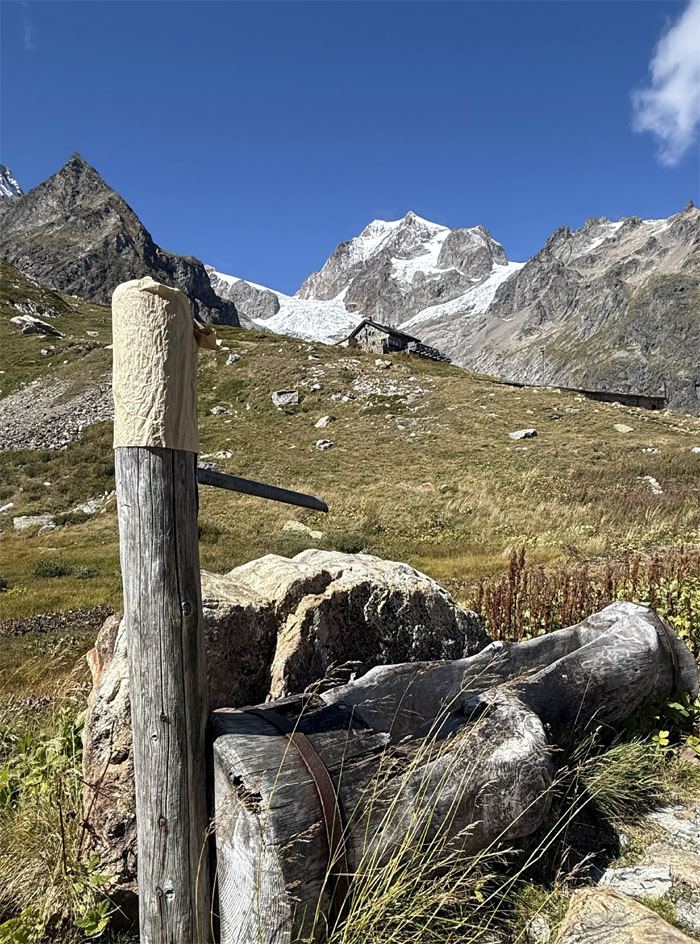
Please don’t pee near the water source. Perched on the hillside is Rifugio Elisabetta, the only mountain hut on this section of the trail.
TMB Trail
Crossing over the water source.
TMB Trail
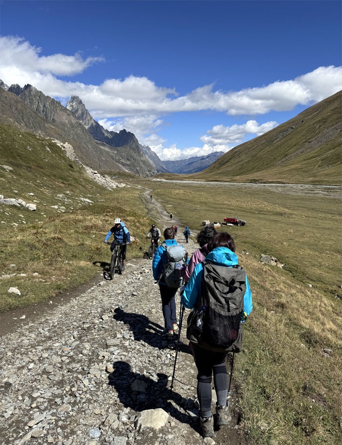
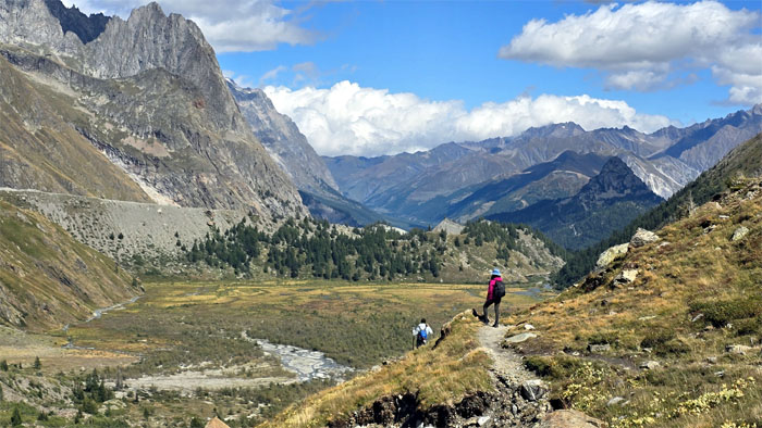
Dropping into the valley known as Val Veny.
TMB Trail
The worst toilette in all of Italy. But when you gotta go, you gotta go.
TMB Trail
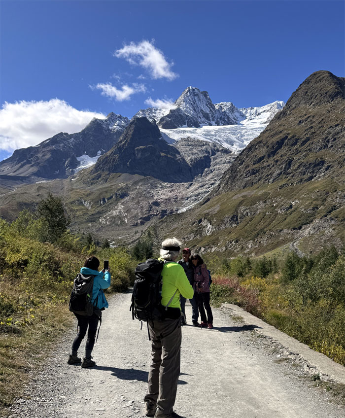
Taking a photo of the photographer taking a photo. Redundancy in action.
TMB Trail
One of many bridge crossings.
TMB Trail
Kicking dust on the trail as we yielded to a car on the road. You mean we could have ridden down?
TMB Trail
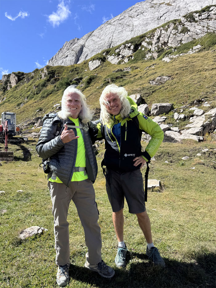
Where there is a tree or rock to climb, Ferlino will be there. Chico will be not far behind.
TMB Trail
End of the trail for today. Time to take a load off our feet.
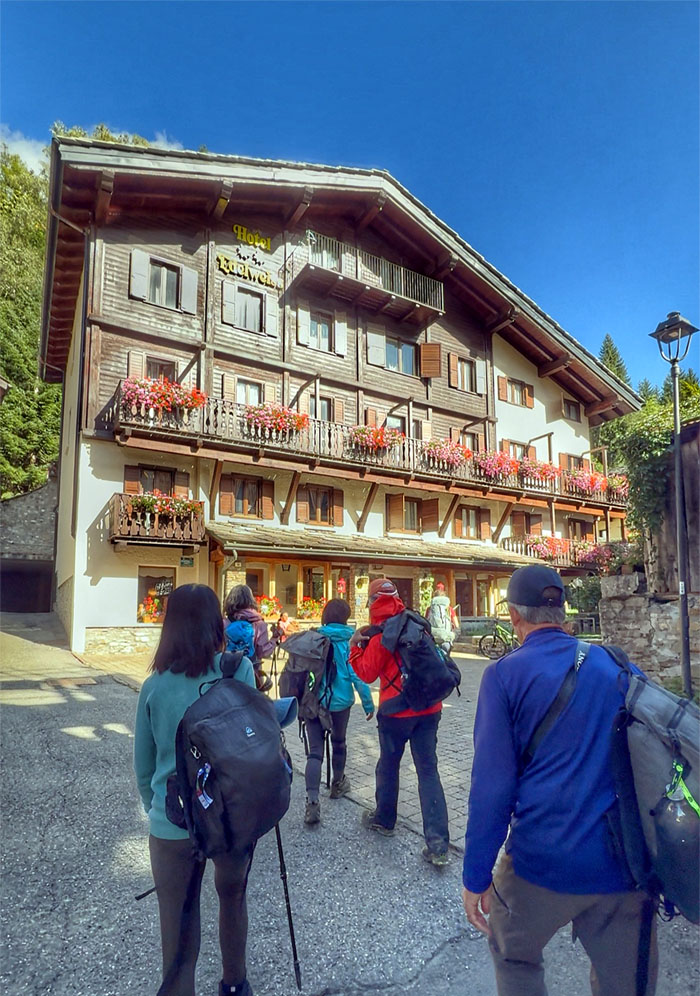
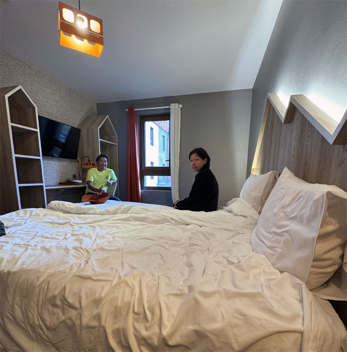
Hotel Edelweiss
The shuttle dropped us off to our hotel where we checked into our private rooms. Heaters don’t work in the summer. Suck it up.
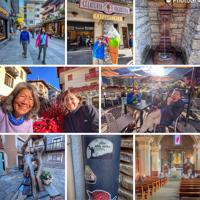
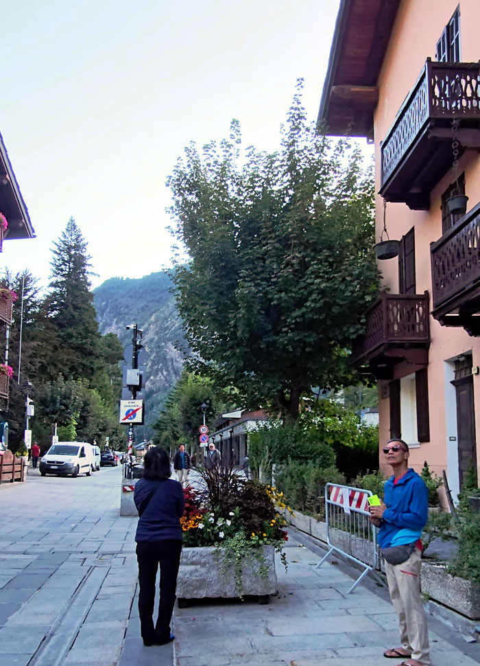
Courmayeur
We explored and walked around “Italy’s best ski resort town.” Sampled some gelato in cones and cups. Shopped for souvenirs. Popped into the Church of Saint Pantaleon, who is the patron saint of physicians and midwives. Groot “marked” the boot shaped country. Chico got friendly with the “natives.”
Courmayeur
Taking in the sights of the picturesque town that sits at the foot of Mont Blanc.
Courmayeur
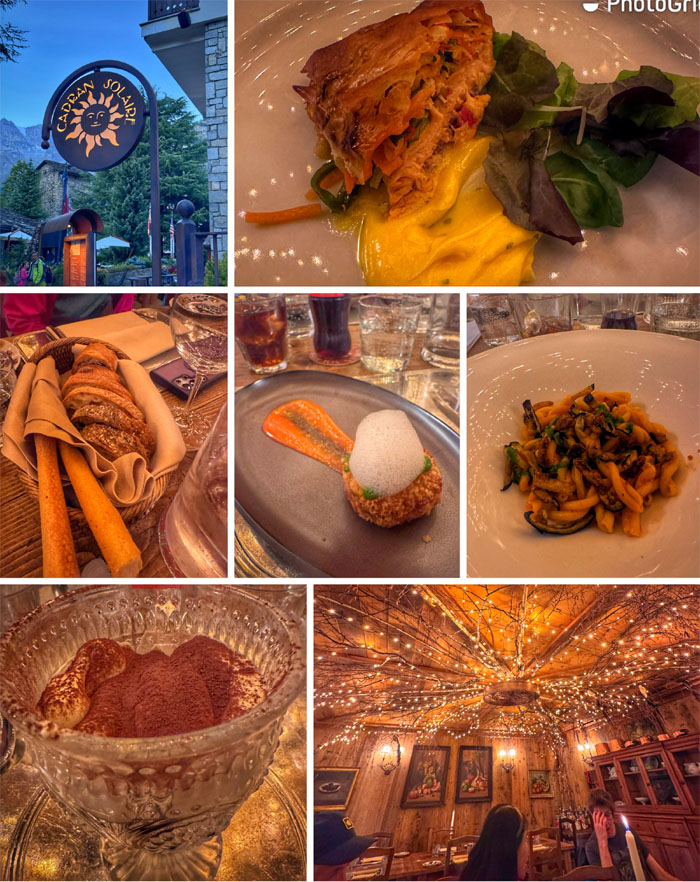
Dinner was at Cadran Solaire, described as a place of conviviality serving Alpine cuisine. It was quite tasty. Somebody got a doggie bag to go or as the Italians say “vaschetta per gli avanzi.”
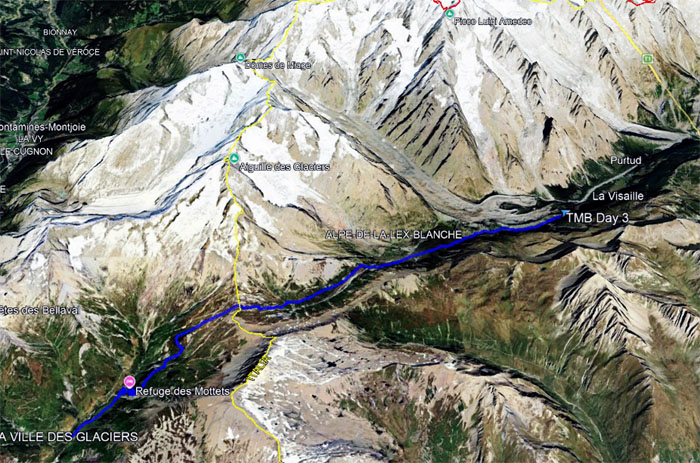
GPS Tracks
Our third day on the TMB covered 9.4 miles through the mountain pass of Col de la Seigne where we crossed over into Italy and down into Val Veny and finally Courmayeur. Somebody was questioning why we did not get the 13 miles on the trail as “promised” in the itinerary. Really? Nobody was talking about taking zero days anymore. Committed to the finish line.
Photos taken by Aida Gordon, Chico Cantu, Deborah Tom, Ferlino Carinio, Mari Saito, Patrick Tom, Robin Farr, Roger Schiffman, and yours truly. Not necessarily in order.
Note: I have been made aware that some hikers have been using my blog as a hiking guide and getting lost on the trails. Please note that this blog was made to document the hike for the crew(s) that did it. That is why some of my comments will seem to have no relevance or meaning to anybody outside of the crew(s) that hiked that trail. My blog was never meant as a hiking guide, so please do not treat it as such. If you find inspiration and entertainment from these hikes, that is more than enough. If you plan on replicating these hikes, do so in the knowledge that you should do your own research accordingly as trail conditions, access, legalities and so forth are constantly in flux. What was current today is most likely yesterdays news. Please be prepared to accept any risks and responsibilities on your own as you should know your own limitations, experience and abilities before you even set foot on a trail, as even the “simplest” or “easiest” of trails can present potential pitfalls for even the most “experienced” hikers. One should also always let somebody know of your hiking plans in case something doesn’t go as planned, better safe than sorry.
{ 3 comments… read them below or add one }
This waa the easiest day on the trail for everyone plus the town Courmayeur was so cute, it reminded me of towns we stopped by overnight on the Camino de Santiago. BTW, the hut Eisabeta is ranked highest in TMB because of its sweeping views.
Sorry, not Courmayeur…I meant Orseires in La Fouly, Switzerland
Aloha Aida,
Well, easy peasy and we should have stayed there for the views and not for the bugs.
Mahalo