
Back in the mountains to pick up from we left last week.
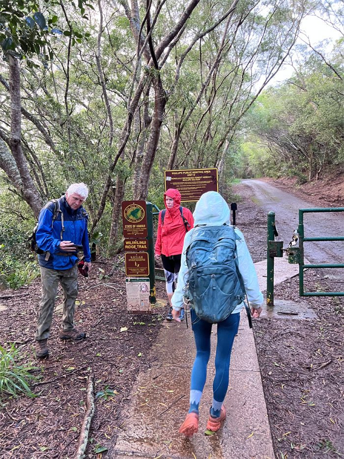
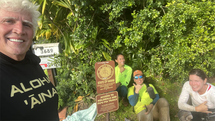
Trailhead
Met up with Chico, Karen and Rose in the gated community to start our hike. But first, a group selfie photo.
Wiliwilinui Ridge Trail
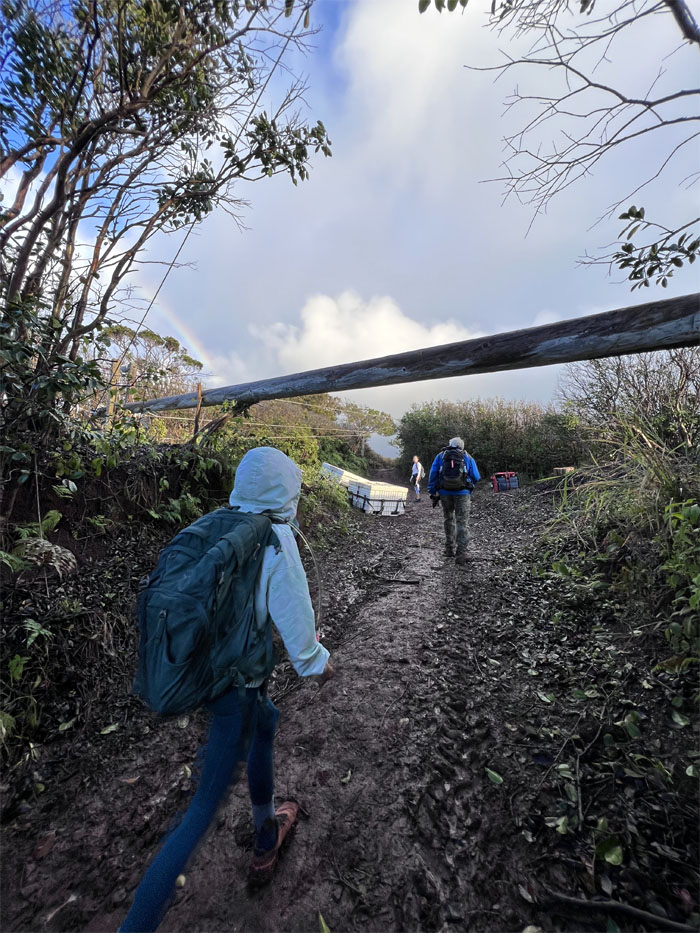
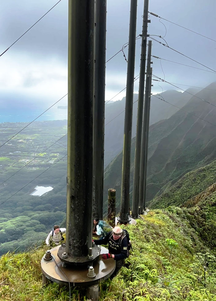
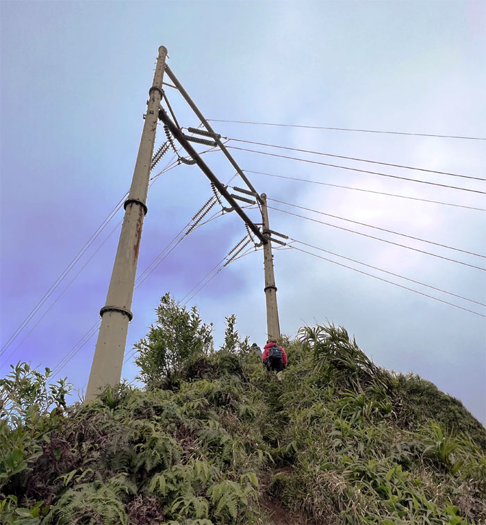
Passing underneath what we initially thought was a fallen tree, that turned out to be a HECO utility pole waiting to be erected.
Wiliwilinui Ridge Trail
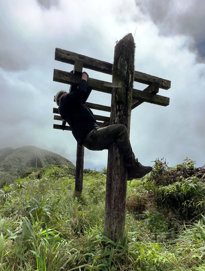
Reversing hiker etiquette.
Wiliwilinui Ridge Trail
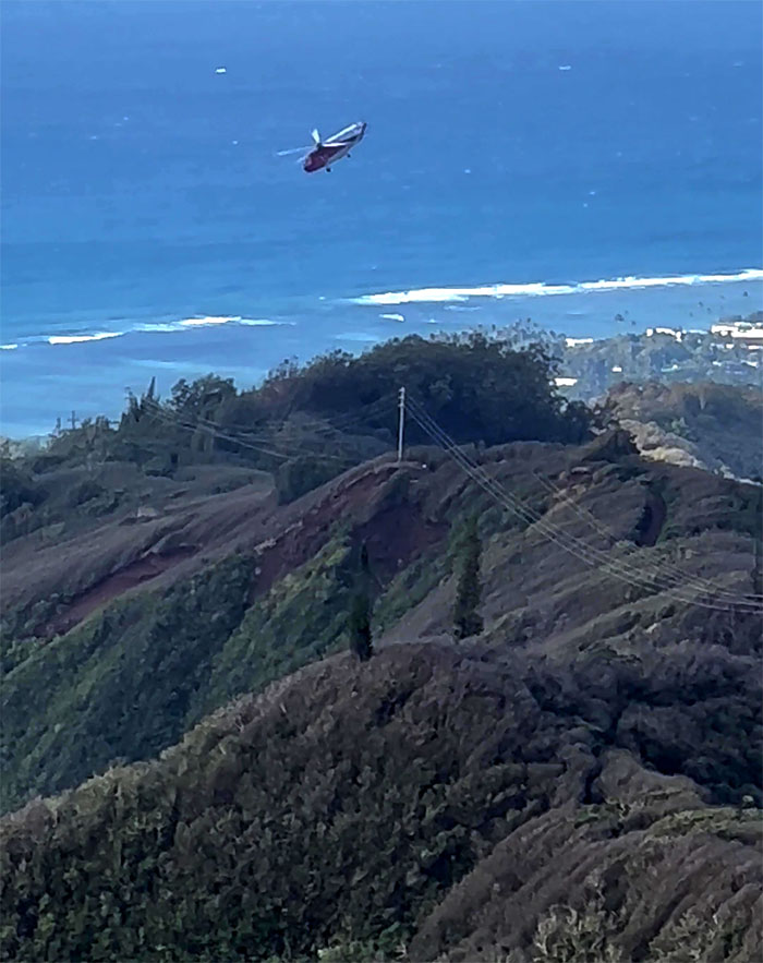
Looking back at the Sikorsky S-61 helo peeling off from probably standing up the pole we had passed earlier on the trail.
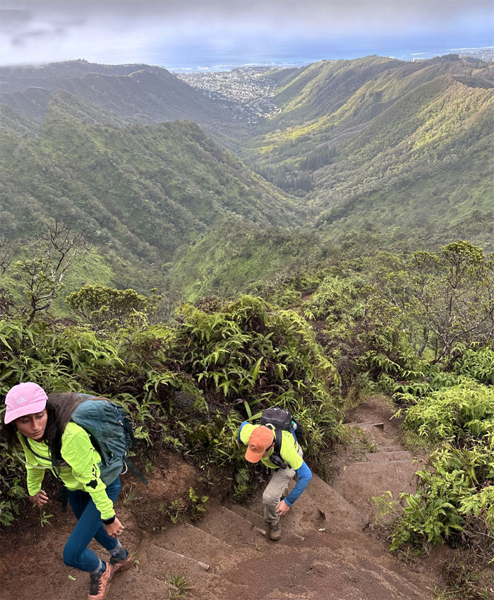
Wiliwilinui Ridge Trail
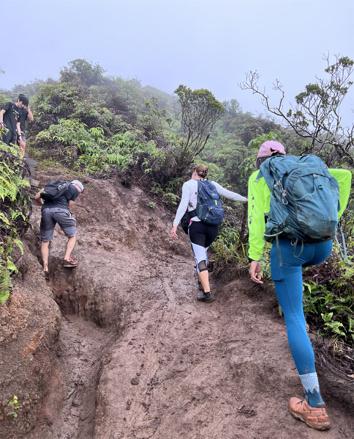
Climbing up the muddy stairs.
Wiliwilinui Ridge Trail
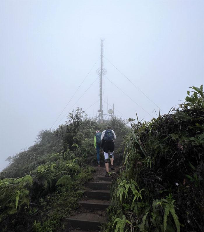
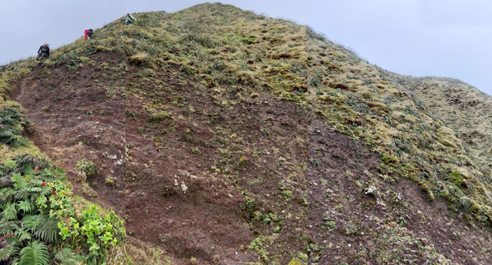
Approaching the communications tower and cloud saturated summit.
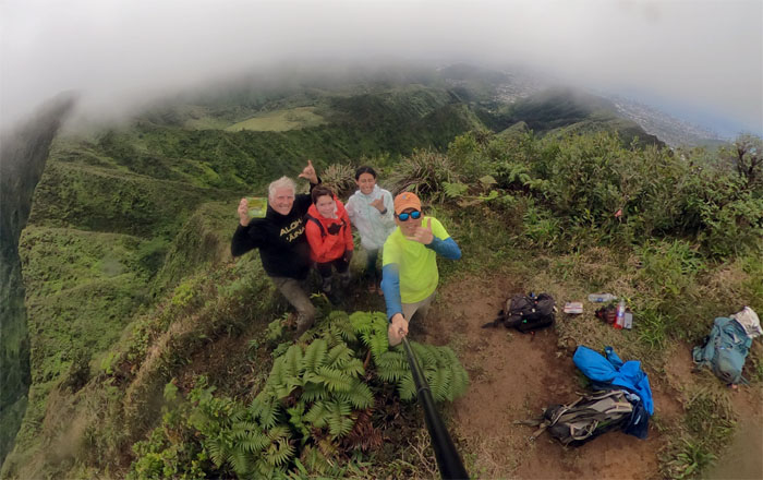
Wiliwilinui Summit
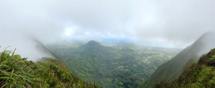
Panoramic view from the 2,480′ summit.
Wiliwilinui Summit
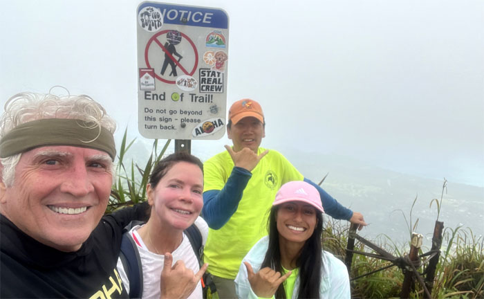
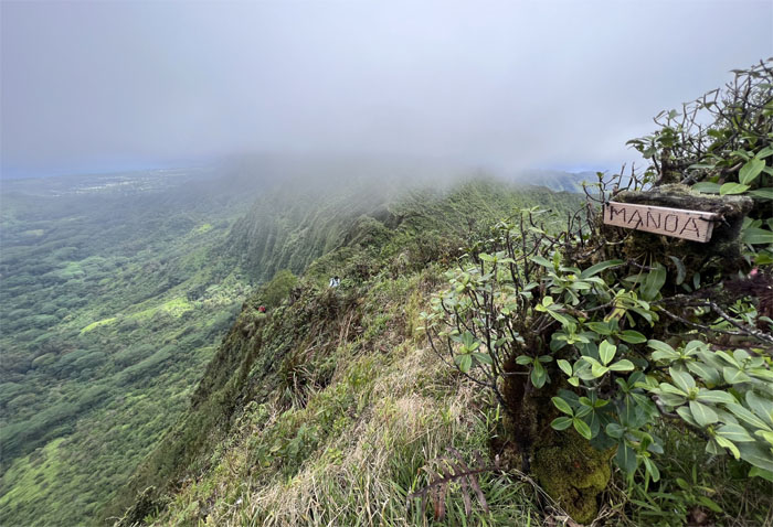
Lucky we are illiterate.

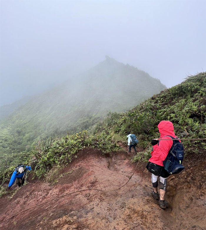
Ko’olau Summit Ridge Trail (KSRT)
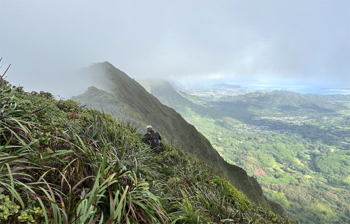
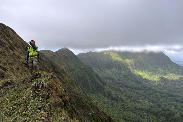
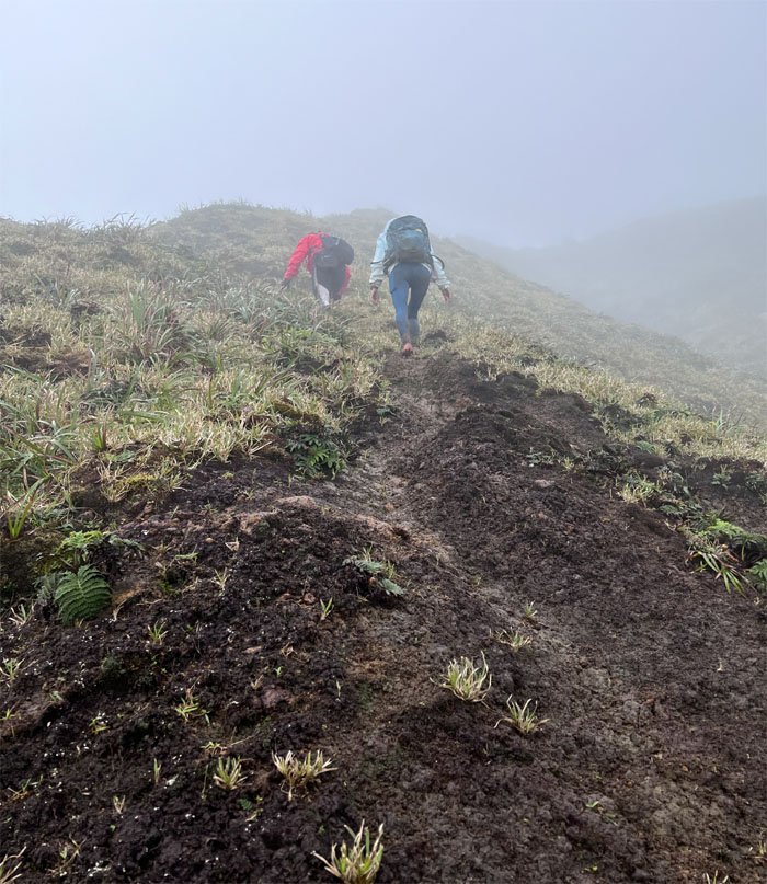
We left the summit and dropped in elevation underneath the cloud cover where the Windward views opened up to us.
KSRT
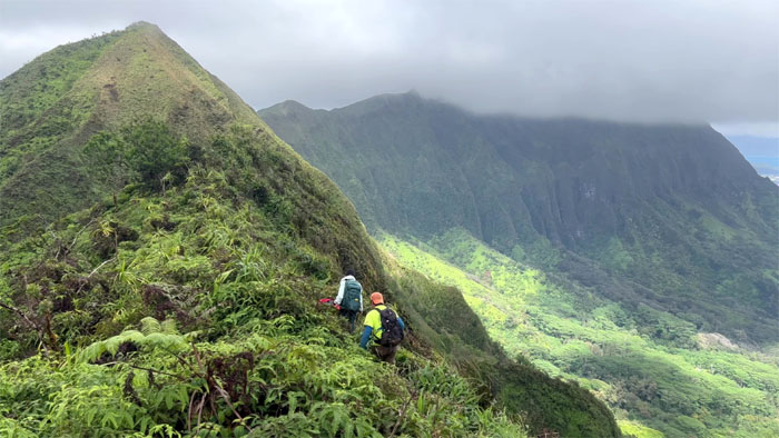
Why go in a straight line, when you can weave in and out?
KSRT
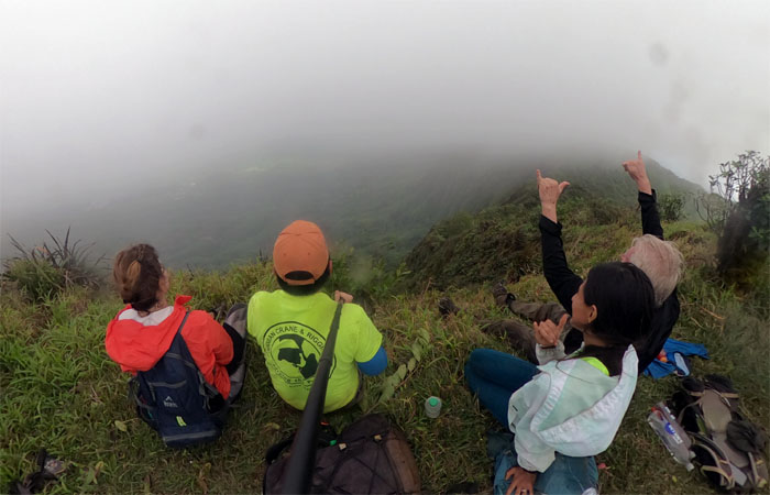
The clouds being kept at bay on the Leeward side.
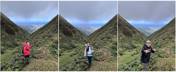
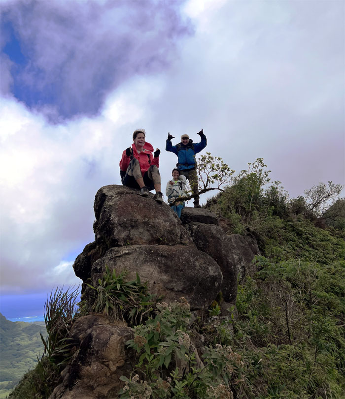
Kainawa’au Summit
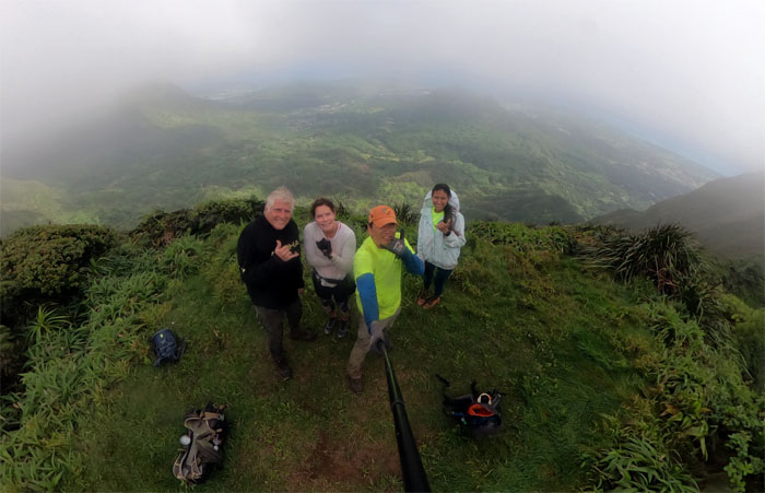
Group photo at the 2,520′ summit with cloud tinted views.
KSRT
Scooting our way down the grassy hill.
KSRT
The group coming down the big hill, glad we came down and not up.
KSRT
Photographer is waiting.
KSRT
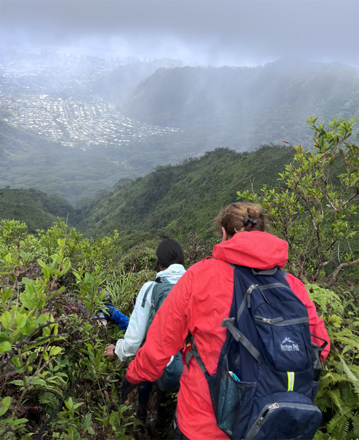
Scenic shots of the valley with the hardest hike framed in the background.
Ka’au Crater
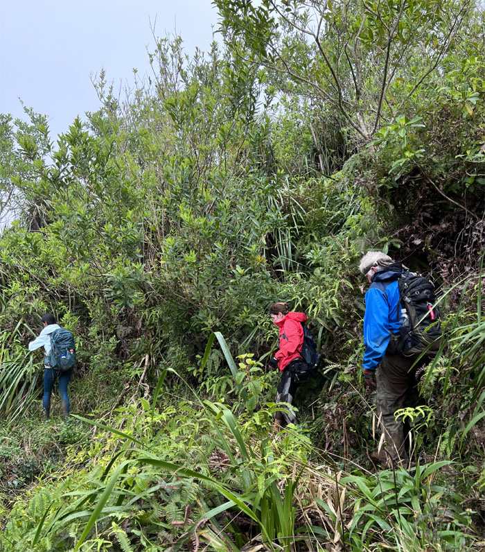
Going down the heavily rutted trail which would give Moanalua Middle Ridge a run for its money.
Ka’au Crater
Approaching the first set of powerline towers which stands over the marsh filled crater, one of three tuff cones on the island.
Ka’au Crater
Young at heart. When the mind is willing, but the body is not.
KSRT
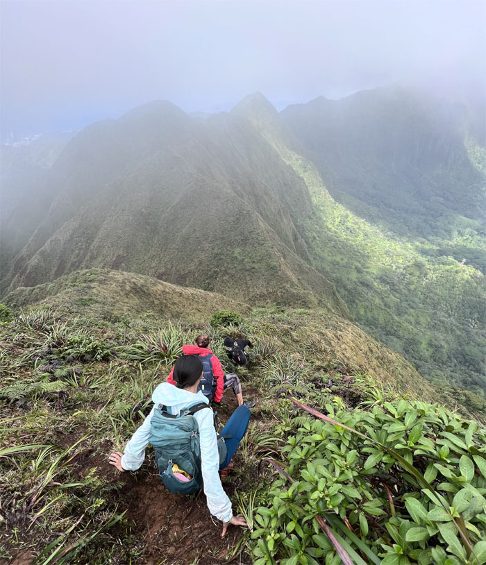
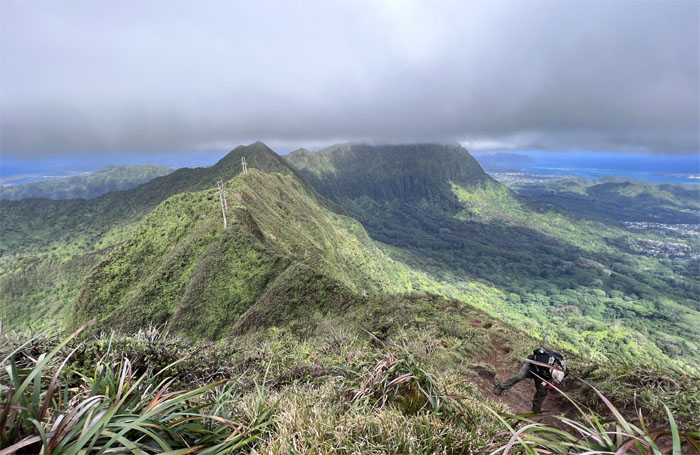
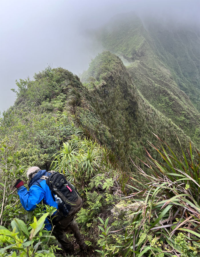
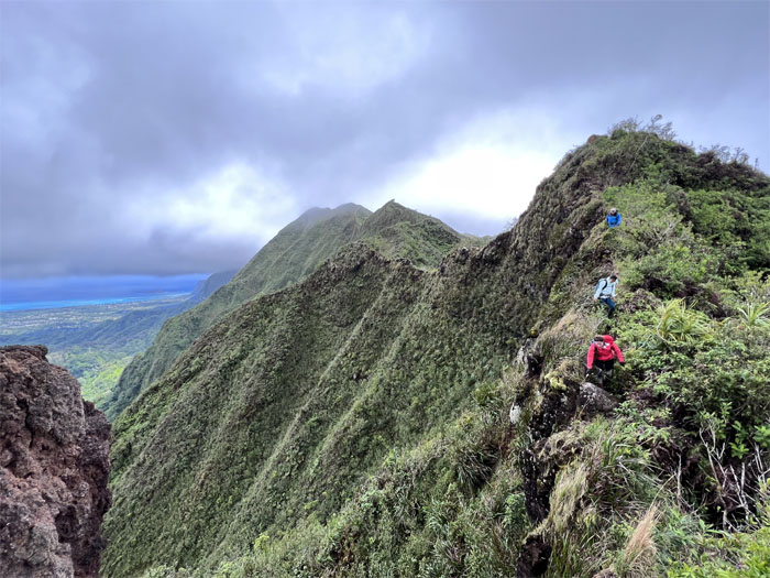
Making our way to the towering peak on the ridge line.

KSRT
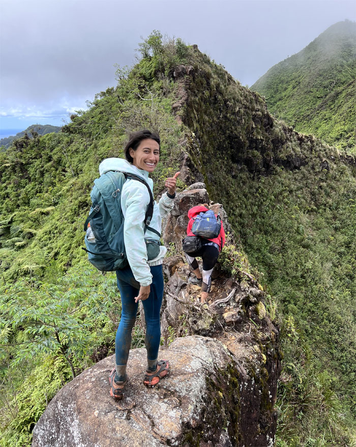
Chico climbing his way out of the notch.
KSRT
Making our way to the top of Mount Olympus. A compressed cardio climb.
‘Awa’awaloa Summit
Group photo at the eroded summit with Ka’au Crater in the cloudy background.
Wa’ahila Ridge Trail
Going down the slick muddy rutted trail.
Castle Trail
Contouring on the Castle-Olympus trail built back in 1911 and partially restored by unknown hikers.
KSRT
Back on the ridge line.
KSRT
Walking to the dealership to pick up our Flintmobile.
Sedan Rock
This is not your Father’s Oldsmobile. Or maybe it is.
KSRT
The group making their way over the undulating ridge line.
KSRT
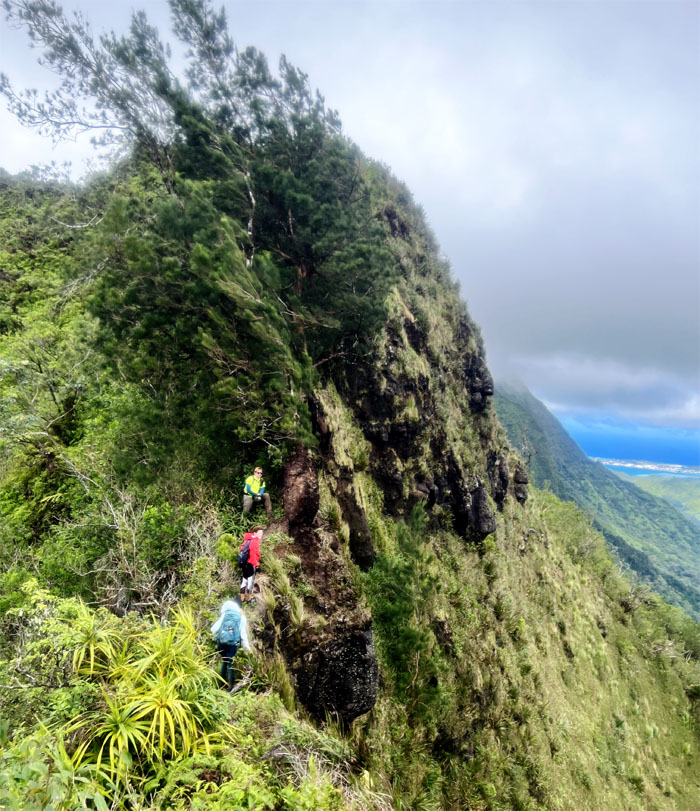
Approaching the stand of pine trees on the ridge.
Manoa Middle Summit
The rest of the group reaching the summit.
Manoa Middle Summit
Sitting group photo looking into the cloud abyss punctuated by the drizzling rain showers.
Manoa Middle Trail
Rain showers washing over the verdant valley.
Manoa Valley
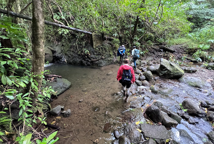
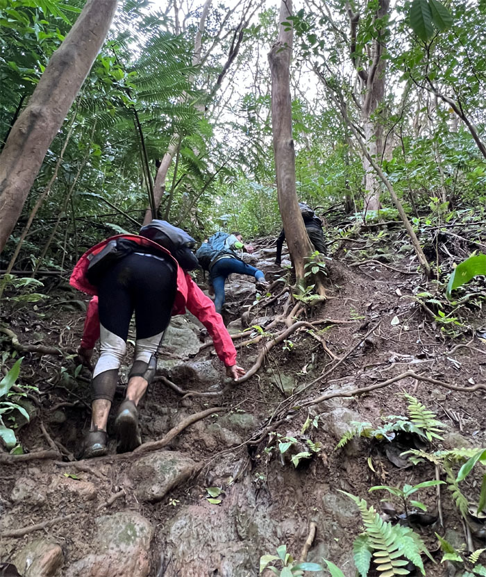
Dropping off the steep ridge line to the valley floor.
Manoa Valley
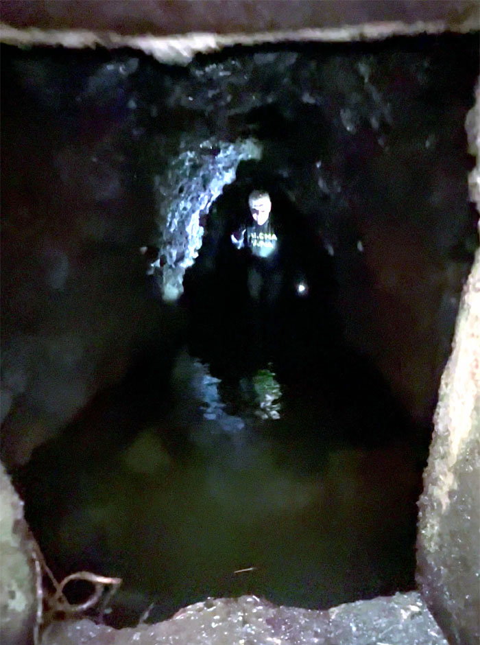
My precious.
Manoa Valley
Climbing up another steeply compressed cardio climb to pick up the trail which would deposit us back into civilization.
All pau
Thanks to Lilia for picking up four hikers in varying degrees of muddiness.
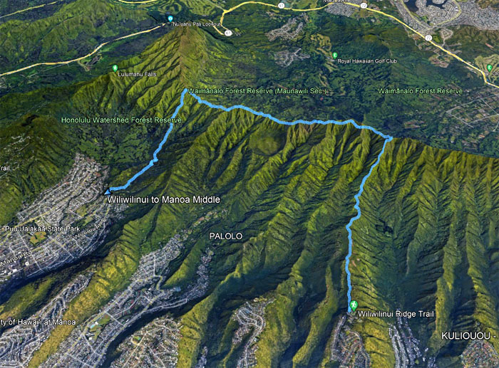
GPS Tracks
Our KST crossover tracked 7.43 miles with new and old friends. Post hike meal at Aina Haina Chop Suey. Family style.
Photos taken by Chico Cantu, Karen Bischoff, Rose Mathis and yours truly. Not necessarily in order.
Note: I have been made aware that some hikers have been using my blog as a hiking guide and getting lost on the trails. Please note that this blog was made to document the hike for the crew(s) that did it. That is why some of my comments will seem to have no relevance or meaning to anybody outside of the crew(s) that hiked that trail. My blog was never meant as a hiking guide, so please do not treat it as such. If you find inspiration and entertainment from these hikes, that is more than enough. If you plan on replicating these hikes, do so in the knowledge that you should do your own research accordingly as trail conditions, access, legalities and so forth are constantly in flux. What was current today is most likely yesterdays news. Please be prepared to accept any risks and responsibilities on your own as you should know your own limitations, experience and abilities before you even set foot on a trail, as even the “simplest” or “easiest” of trails can present potential pitfalls for even the most “experienced” hikers. One should also always let somebody know of your hiking plans in case something doesn’t go as planned, better safe than sorry.
{ 0 comments… add one now }