
Our last hike in Yosemite where the math didn’t add up. Old math. New math.
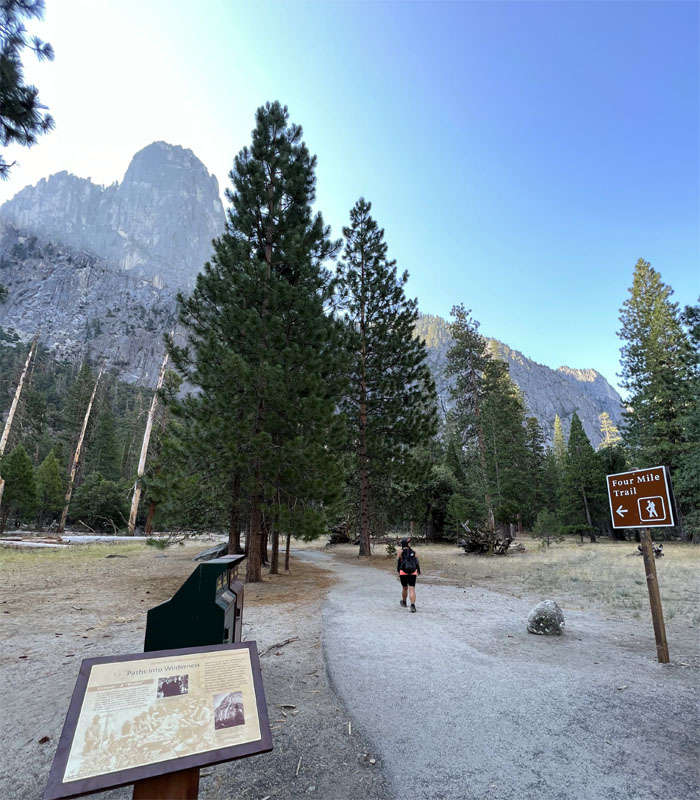
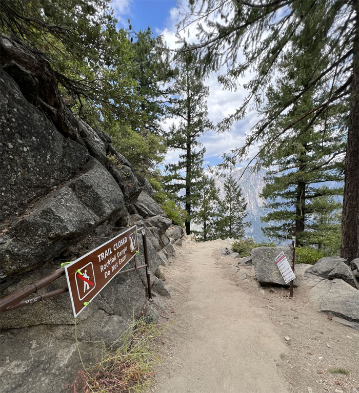
Trailhead
Quan and I left the rest of the girls in the house to watch the nearby wildlife from the living room window as we made our last drive into Yosemite National Park. We found one of the last open stalls close to the base of Sentinel Rock as we made our way up the trail.
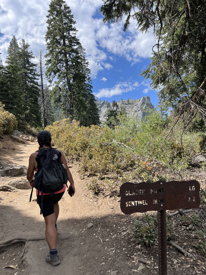
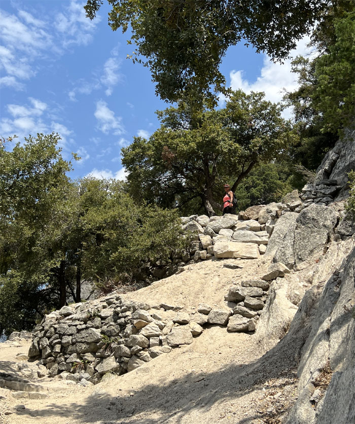
Four Mile Trail
Going up the old toll trail that was completed in 1872. They increased the distance of the trail by roughly a mile in the 1920s, but did away with the toll of one dollar.
Four Mile Trail
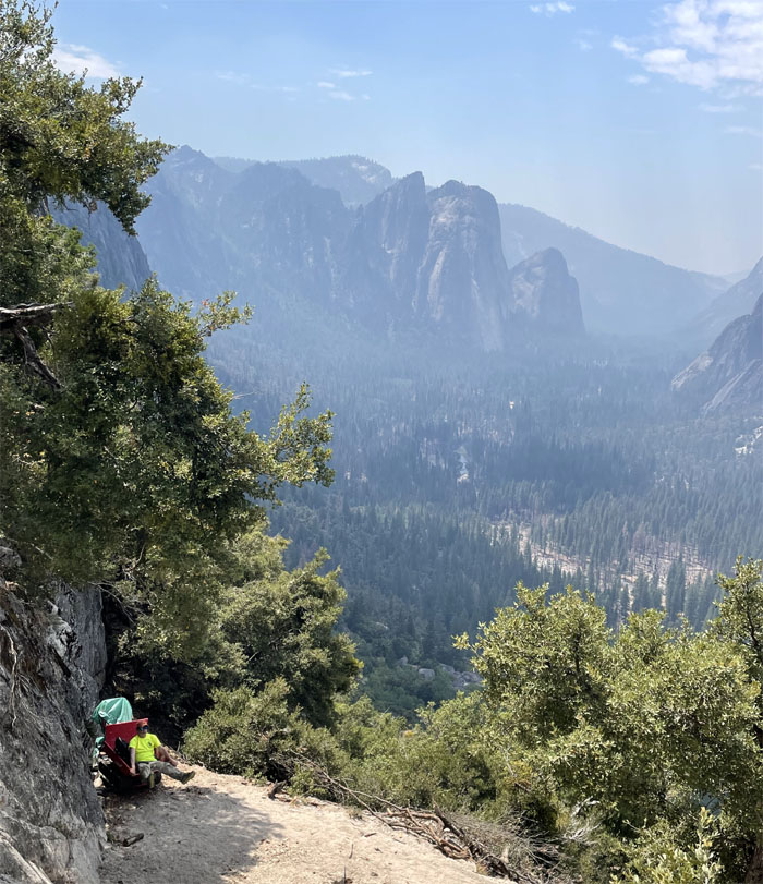
Quan perched on her lookout towards the “reverse tunnel view” of Cathedral Rocks and El Capitan.
Four Mile Trail
Going up the switchbacks that hugged the cliff wall.
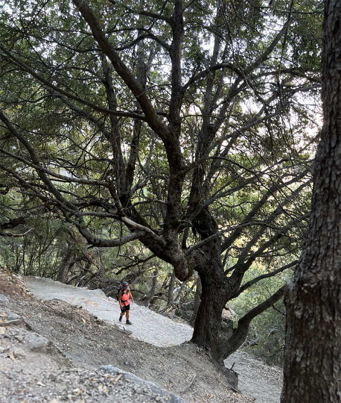
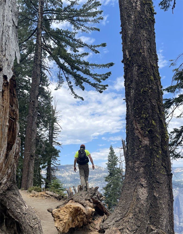
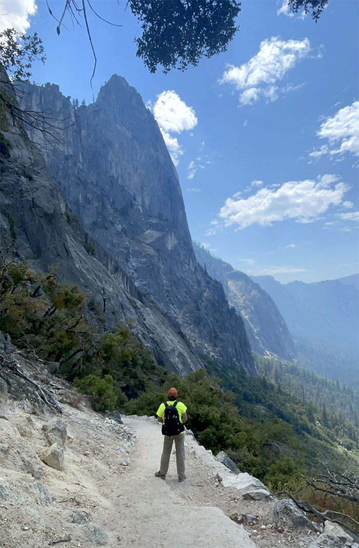
Four Mile Trail
Hiking up the trail that some people consider the third hardest hike in the valley, behind Snow Creek and Yosemite Falls.
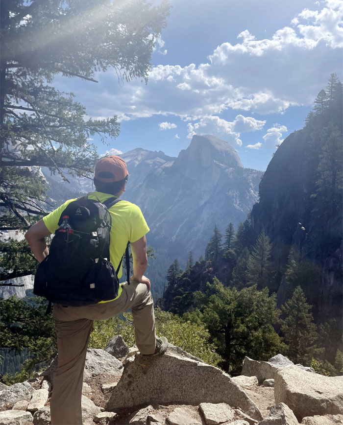
Four Mile Trail
Looking out towards views of Half Dome and Tenaya Valley.
Four Mile Trail
Are we there yet?
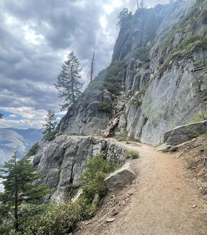
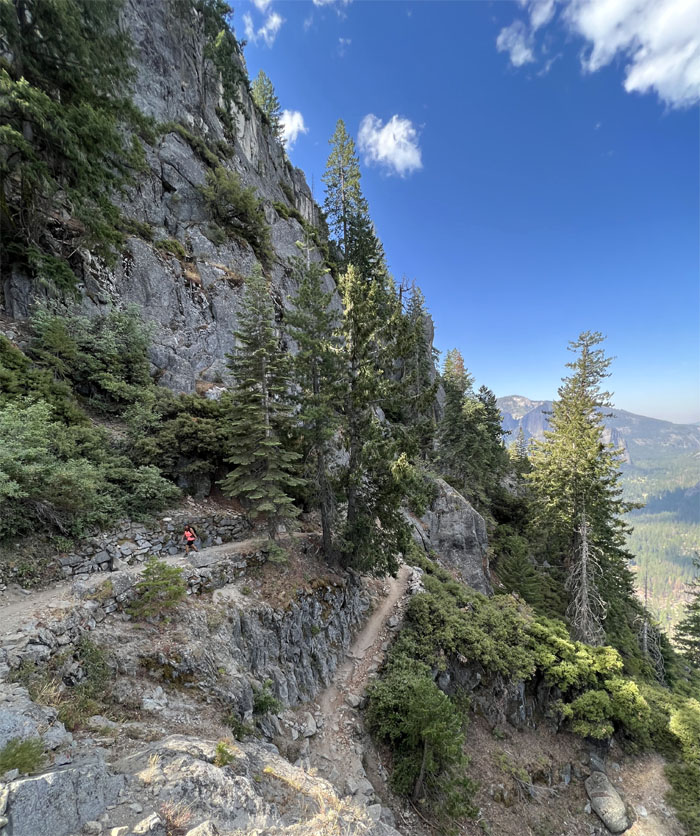
Four Mile Trail
Heading towards a short exposed stretch of the trail as it hugs the cliffs.
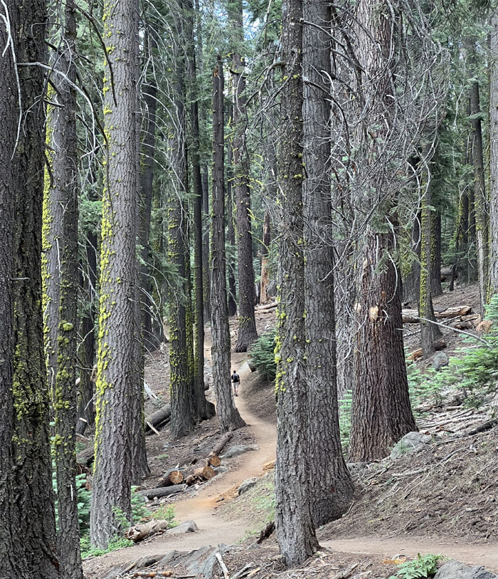
Four Mile Trail
The steepness of the trail slackened off as we wound our way through the forest of moss encrusted trees.
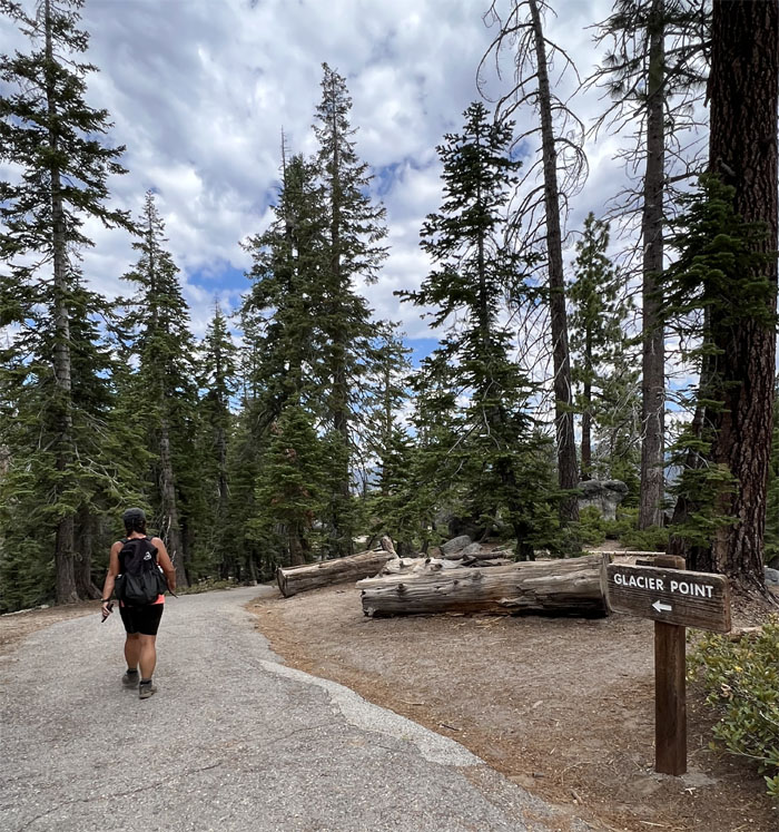
Four Mile Trail
It was an auditory shock to hear the rumble of construction equipment near the top as it beggared the question. You can drive to the top? The only saving grace was that since the road was closed for construction, the crowds were noticeably absent.
Glacier Point
Saw an illiterate person standing on the Overhanging Rock that overlooks (dry) Yosemite Falls.
Glacier Point
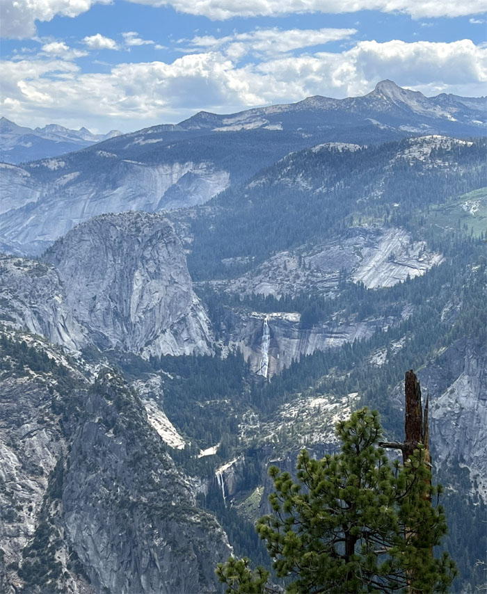
Looking down at Nevada and Vernal Falls.
Glacier Point
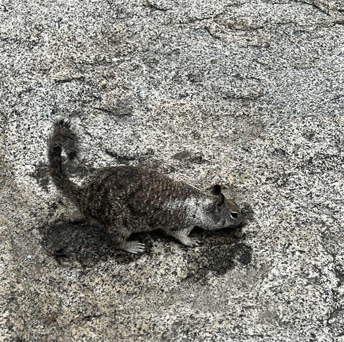
This particular squirrel was intent on licking as much of the frozen coke that dribbled onto the rocks from our bottle. He wasn’t getting any other handouts, so he had to refresh himself.
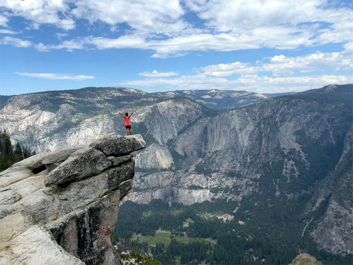
Glacier Point
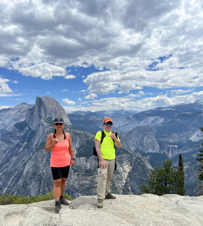
Photo at the promontory with an elevation of 7,214′. Between 1872 and 1968, it was the site of the Yosemite Firefall, where the old hotel workers used to push burning embers to the valley floor 3,000′ below to give the appearance of a glowing waterfall.
Glacier Point
Walking back down the trail as we passed the closed snack stand. No ice cream for us today.
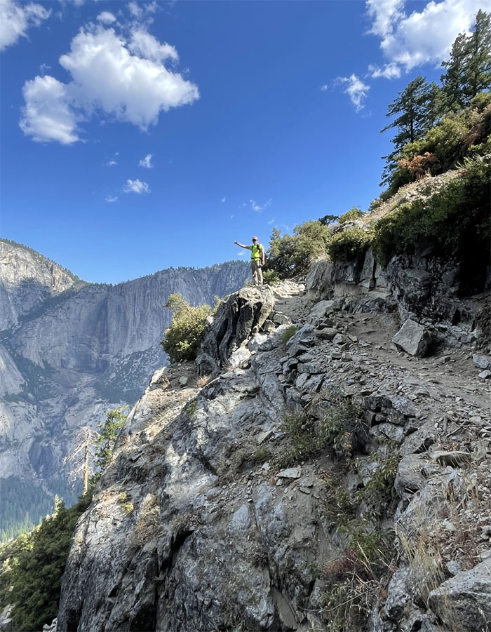
Four Mile Trail
Going out on a limb.
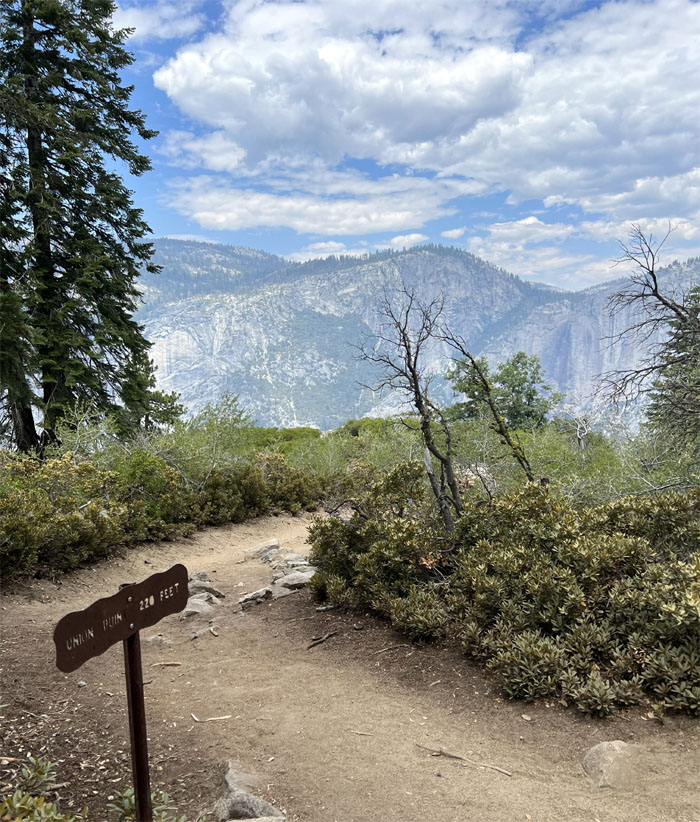
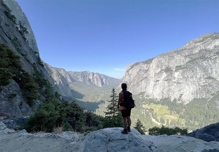
Union Point
I had time to kill so I took the side trail down to check out the view of Yosemite Valley.
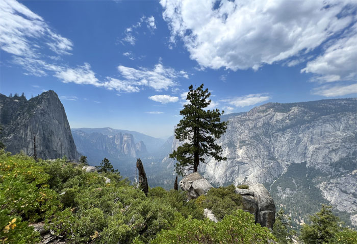
Union Point
Looking down into the glacial valley densely populated with pine trees and surrounded by towering granite cliffs and summits.
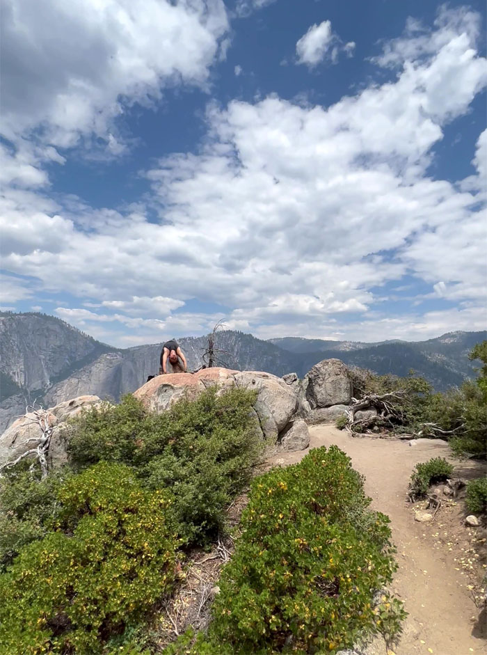
Union Point
Yoga with a view. Upside down.
Four Mile Trail
Passing through the gate that is shut down for winter.
Four Mile Trail
Quan coming down on one of the dozens of switchbacks that define the trail.
Four Mile Trail
Waiting for my uber driver to take me down the rest of the trail.
Four Mile Trail
Looking out towards Sentinel Rock.
Four Mile Trail
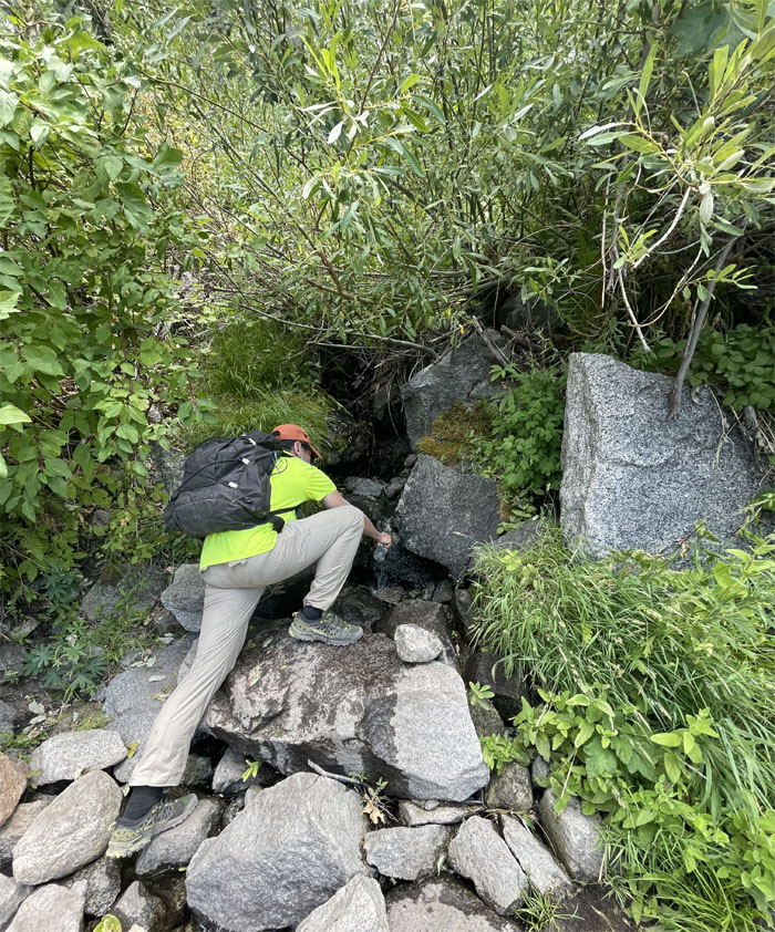
One of the best places to find potable water on the trail, unfiltered from the tap.
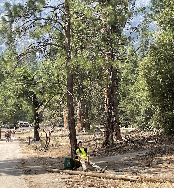
All pau
Making use of the trail chair as we exited the trail. Our hike mileage covered 9.49 miles with spectacular views of Yosemite Valley, waterfalls, and assorted granite summits. Post hike meal at Oakhurst Grill as we couldn’t get enough of their clam chowder.
Photos taken by Quan Haberstroh and yours truly. Not necessarily in order.
Note: I have been made aware that some hikers have been using my blog as a hiking guide and getting lost on the trails. Please note that this blog was made to document the hike for the crew(s) that did it. That is why some of my comments will seem to have no relevance or meaning to anybody outside of the crew(s) that hiked that trail. My blog was never meant as a hiking guide, so please do not treat it as such. If you find inspiration and entertainment from these hikes, that is more than enough. If you plan on replicating these hikes, do so in the knowledge that you should do your own research accordingly as trail conditions, access, legalities and so forth are constantly in flux. What was current today is most likely yesterdays news. Please be prepared to accept any risks and responsibilities on your own as you should know your own limitations, experience and abilities before you even set foot on a trail, as even the “simplest” or “easiest” of trails can present potential pitfalls for even the most “experienced” hikers. One should also always let somebody know of your hiking plans in case something doesn’t go as planned, better safe than sorry.
{ 0 comments… add one now }