

I had an unplanned couple free days to spend in Japan rather than Yellowknife in Canada. Long story. Thanks to Val for letting me tag along with her planned adventures.
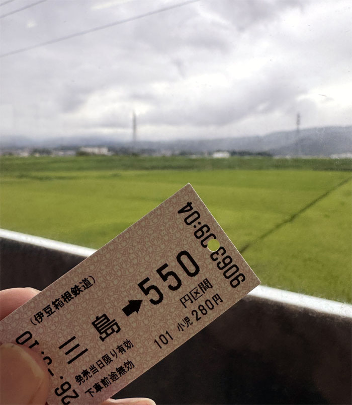
Izuhakone Railway Sunzu Line
Riding the third of four transfer trains that took me from Shinjuku Station to Shuzenji Station in roughly 3 1/2 hours, where Val picked me up in her rental car.
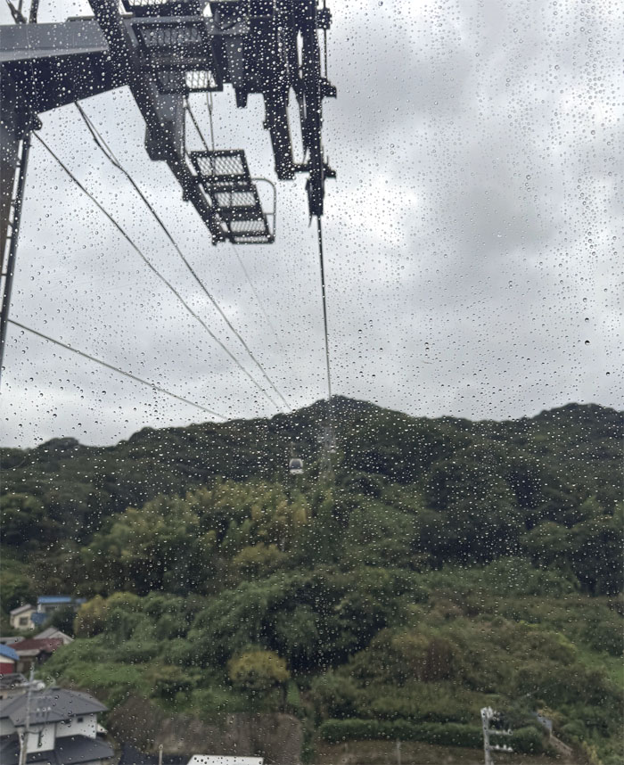
Izu Panorama Park
The rain was sprinkling and the clouds were gathering in the skies above us, so we paid 4,000 Yen and took the seven minute ride on the ropeway to Mount Katsuragi, which is the highest mountain on the Izu Peninsula.
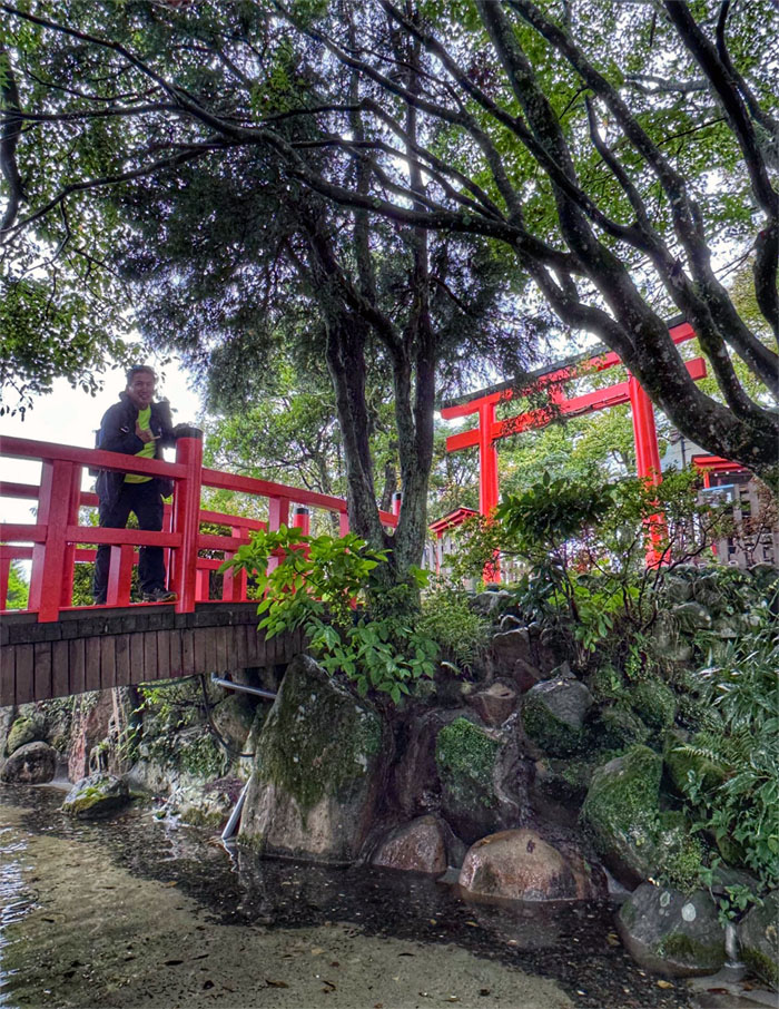
Izu Panorama Park
We got off at the top of the mountaintop resort at an elevation of 1,483′ and walked over the bridges and passed under the torii shrines.
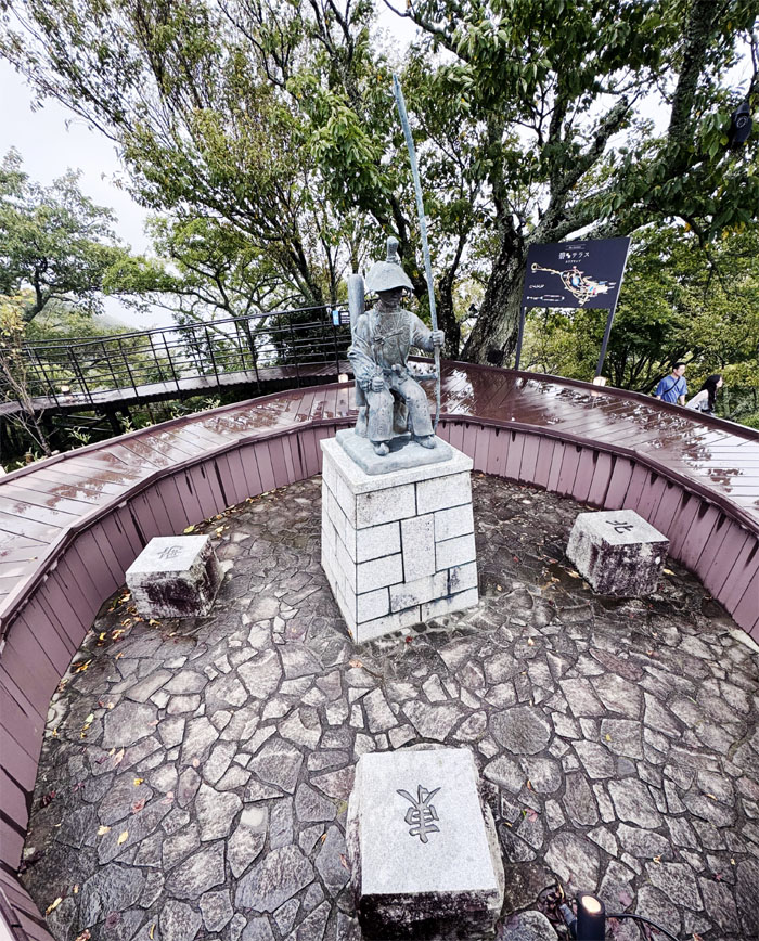
Izu Panorama Park
Looking down at the statue of Minamoto no Yoritomo, the first shogun of Japan who lived from 1147 to 1199.
Izu Panorama Park
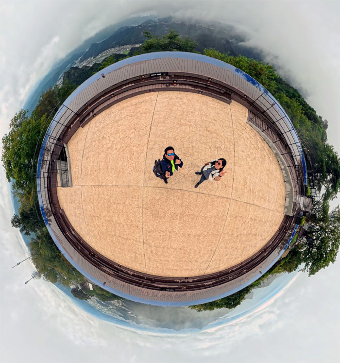
Bird’s eye view of the Aqua ring, that is meant to evoke a floating sensation with serene views of Mount Fuji and Suruga Bay. Well at least we got glimpses of the bay.
Izu Panorama Park
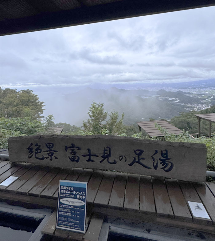
We decided against dipping our toes in the Fujimi Foot Bath.
Izu Panorama Park
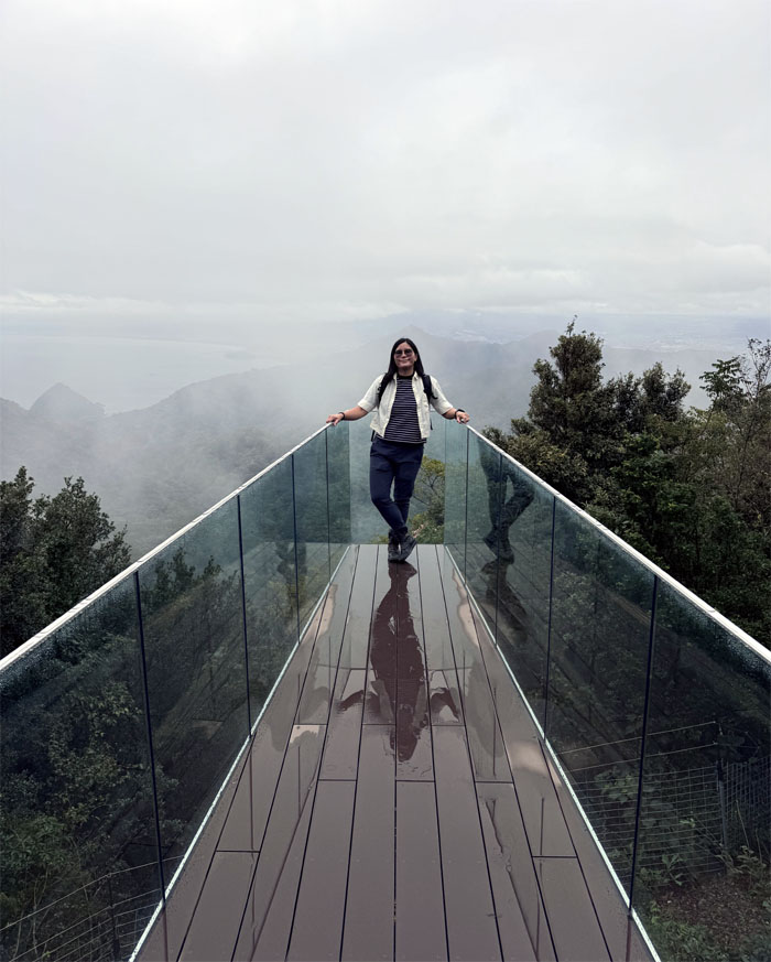
Val out on the glass walkway that is a perch for birdwatching.
Izu Panorama Park
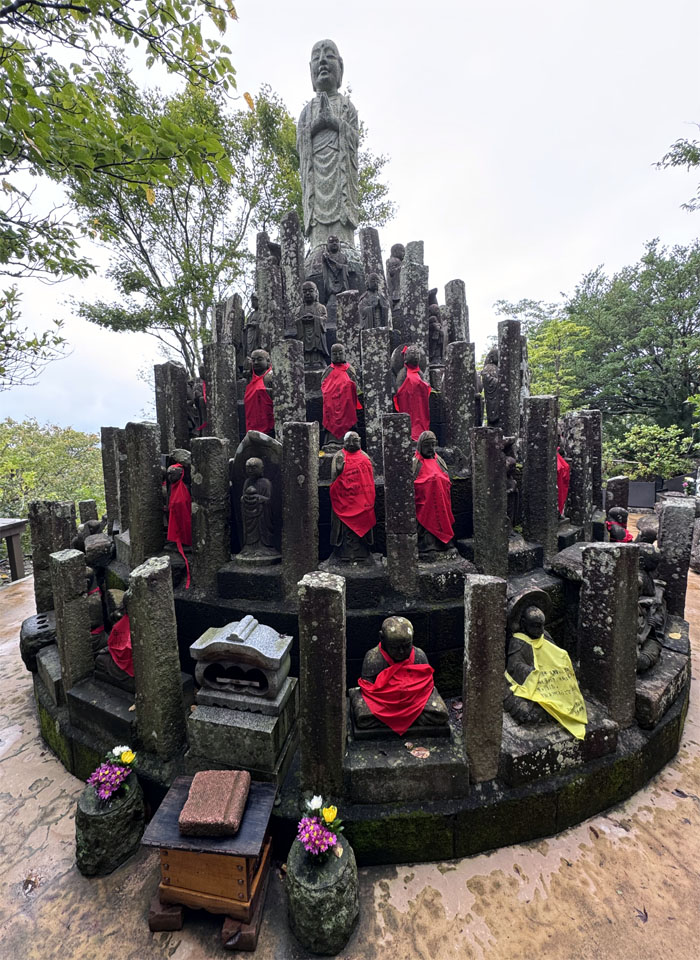
Katsuragi Shrine is home to 108 Jizo statues, we didn’t count, where one can write your wish on a red bib and if it comes true, then report back on a yellow bib. No bibs to be found for us.
Izu Panorama Park
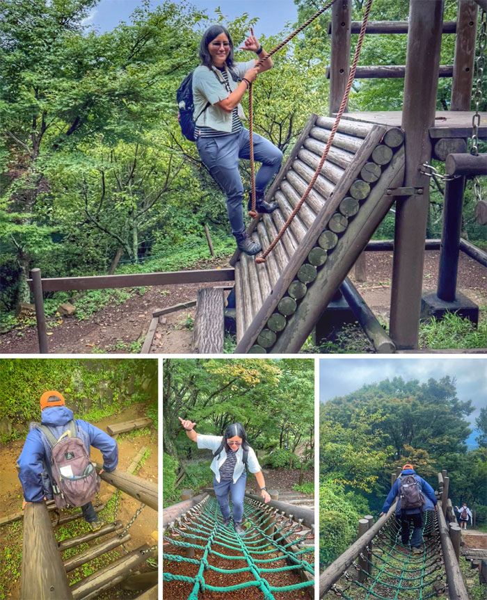
Acting our appropriate age at the Log Athletic Square.
Izu Panorama Park
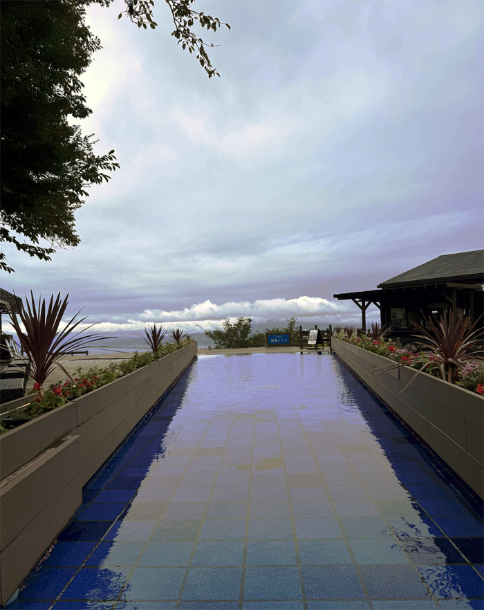
Just missing the reflection of Mount Fuji in the reflecting pool of AO Terrace.
Izu Panorama Park
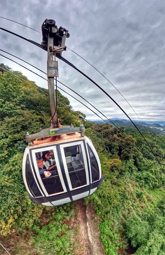
Riding the ropeway back down where we saw a hawk circling the forest below us. Minamoto no Yoritomo went hawking in this same area back in the day.
Izu Norimaki
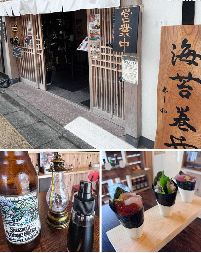
We then found a shop selling hand rolled sushi with local brewed beer and spray on shoyu for lunch, this was after we provided entertainment for a local resident who watched us for a good amount of time trying to figure out how to pay for our parking. Hint: You pay when you leave, not when you arrive.
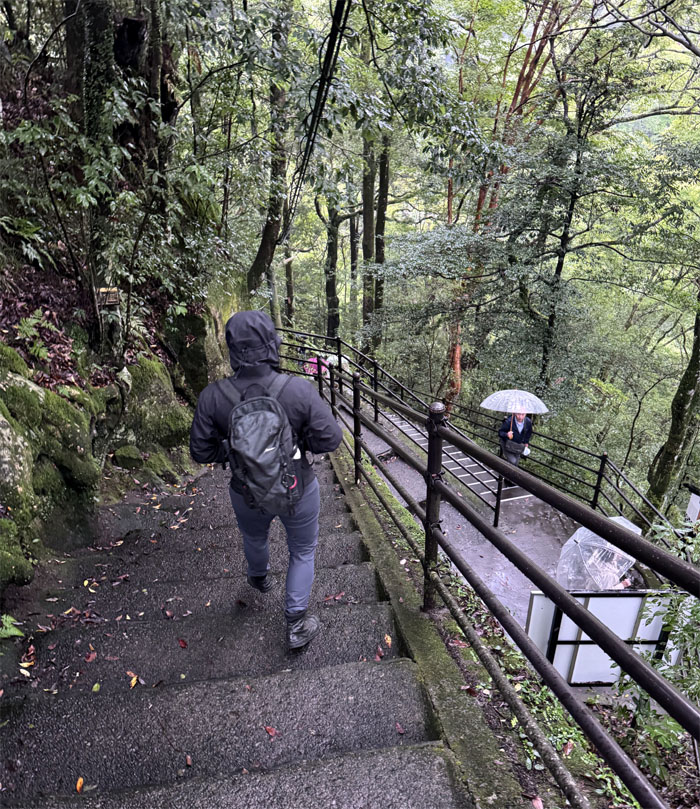
Joren Falls
It was still raining, so when Mother Nature gives you rain, go see a waterfall that is ranked as one of Japan’s Top 100 Waterfalls.
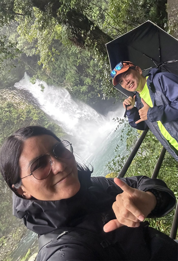
Joren Falls
According to Japanese folklore, the 82′ falls are home to a spider that can transform into a seductive woman.
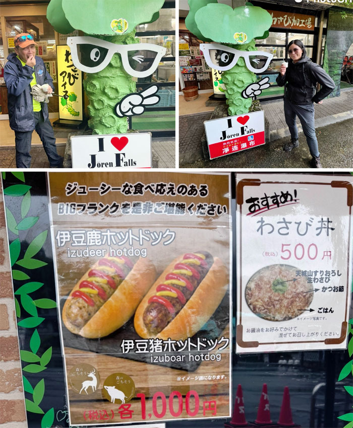
Joren Falls
Sampling the wasabi-flavored soft-serve ice cream, the hotdogs would have to wait another day as they were closed for business.
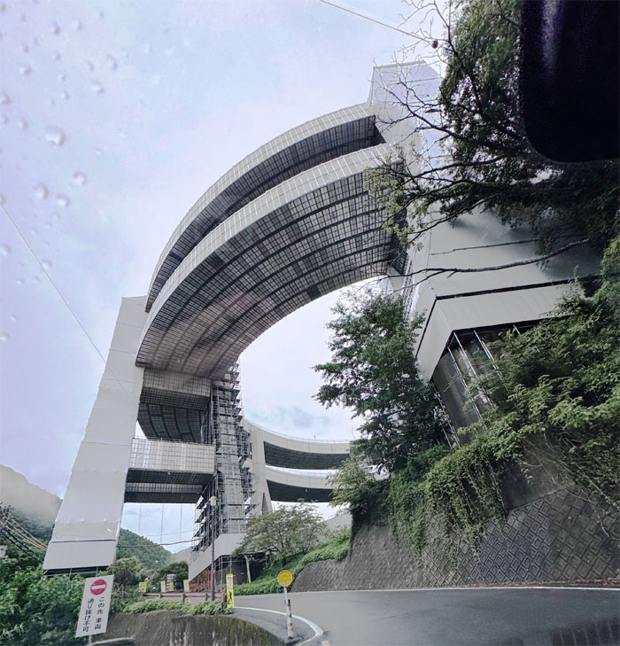
Kawazu-Nanadaru Loop Bridge
Driving in circles on the double looped highway that was built in 1981 after an earthquake leveled the original road.
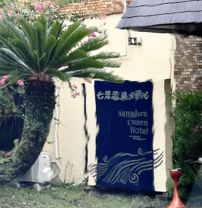
Nanadaru Onsen Hotel
We checked into the traditional ryokan that was built in 1971 and was showing its rustic age, I mean charm.
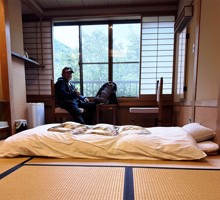
Nanadaru Onsen Hotel
Our traditional tatami mat room with futon and “private” onsen baths to soak our wet and tired muscles.
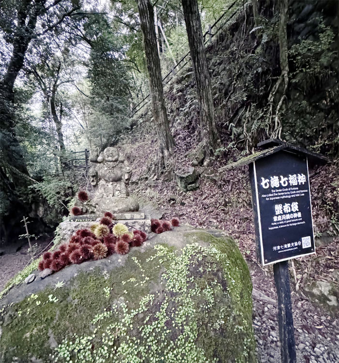
Kawazu Nana-Daru
We had some time to kill before dinner, so we walked up the road to explore some waterfalls. Seven total to be exact, but not all would be explored.
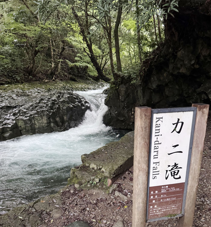
Kani-Daru
Our first 6′ fall was the crab waterfall, so named due to the nearby rock formation resembling a crab shell. Still looking.
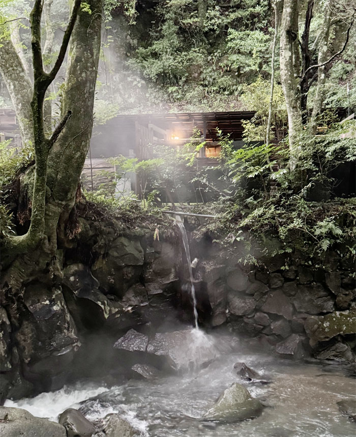
Kawazu Nana-Daru
Following the well lit walking trail where we noticed a private campsite across the Kawazu River along with its own private hot bath.
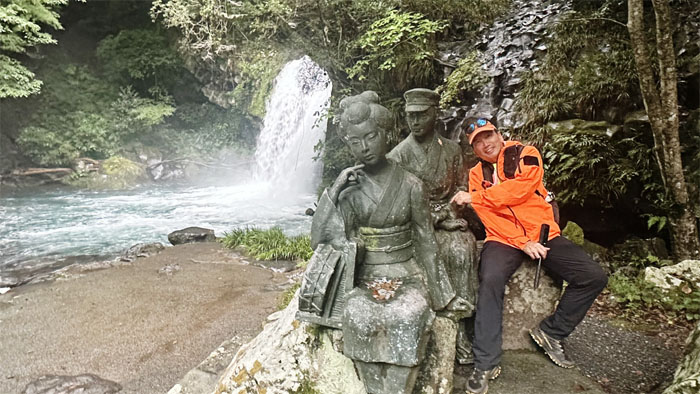
Shokei-Daru
Taking pictures with the statues inspired by the 1926 novel “Izu no Odoriko,” which chronicles first love lensed through platonic channels. The waterfall was named because it was the first falls that travelers saw when descending from the old nearby road.
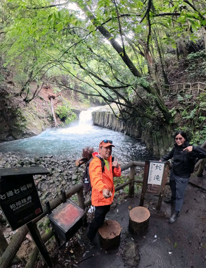
Hebi-Daru
Standing in front of the Snake Waterfall that got its name due to the surrounding rock formations resembling the scales of a snake.
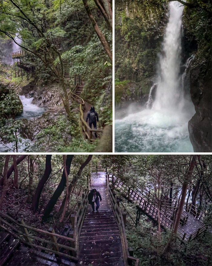
Kama-Daru
Climbing the walkway to bear witness to the plunging falls whose basin resembles a cooking pot.
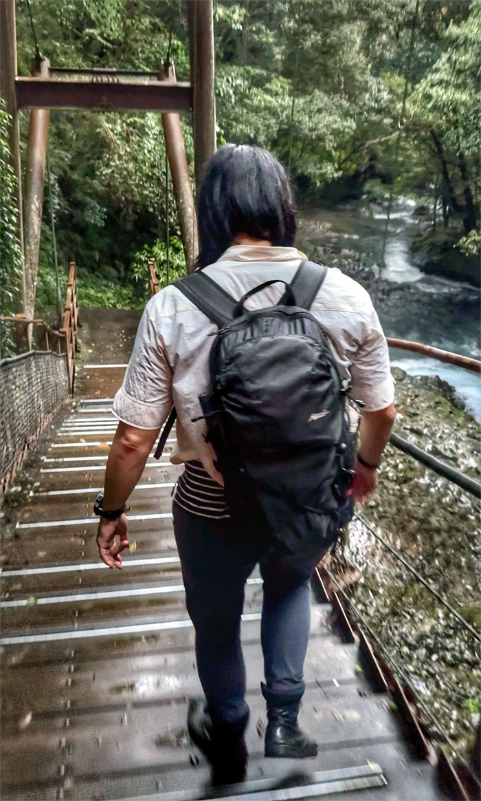
Kawazu Odoriko-Takimi Bridge
Walking our way back on the pedestrian bridge with vantage views of the river surging below us. We only had time to check out four of the seven waterfalls as dinner was waiting for us back at the hotel and a nice hot onsen bath after the meal.
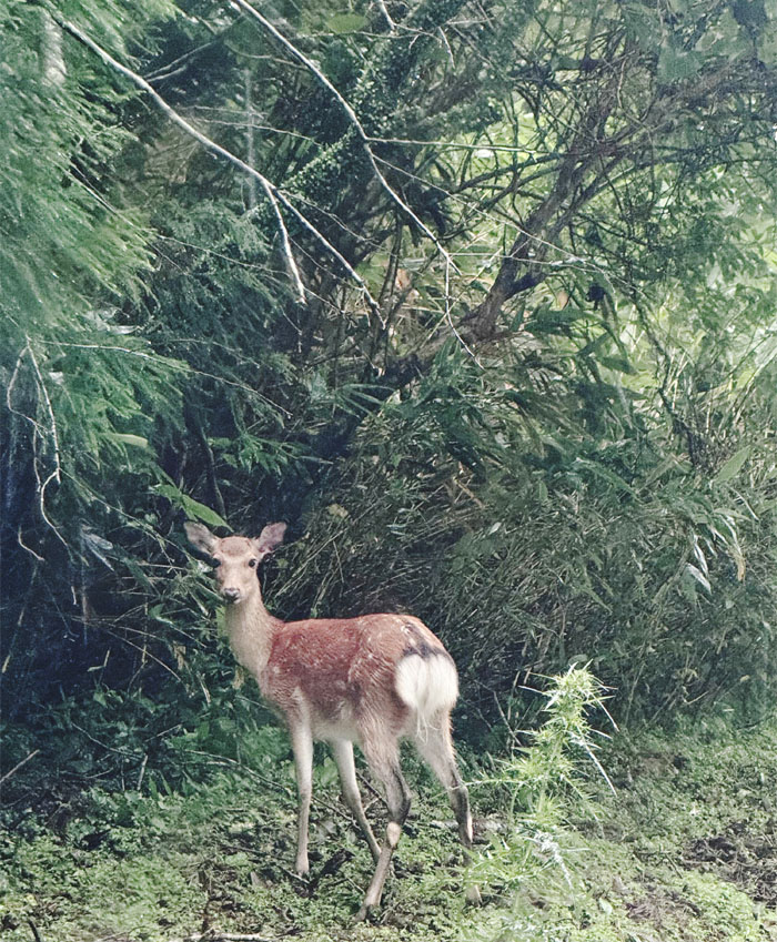
Nishi-Izu Skyline
Day 2
The next morning greeted us with more rain. Perfect time to do a ridgeline hike to a mountain top. We drove up the scenic road blanketed with clouds and drizzled with rain as we made our way towards the trailhead of our hike for today.
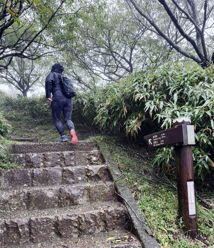
Izusanryosen Trail
Something tells me we were going to have the trail all to ourselves today. I’m just psychic.
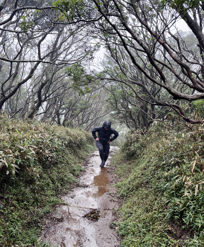
Izusanryosen Trail
Val stepping up the waterlogged trail.
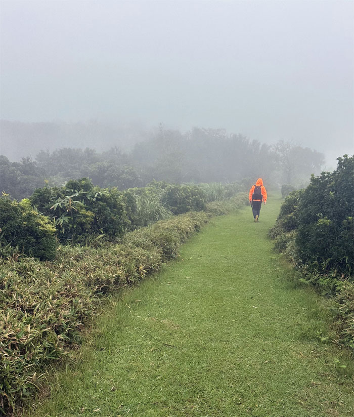
Izusanryosen Trail
The trail was wide open and manicured. A far cry from the KST.
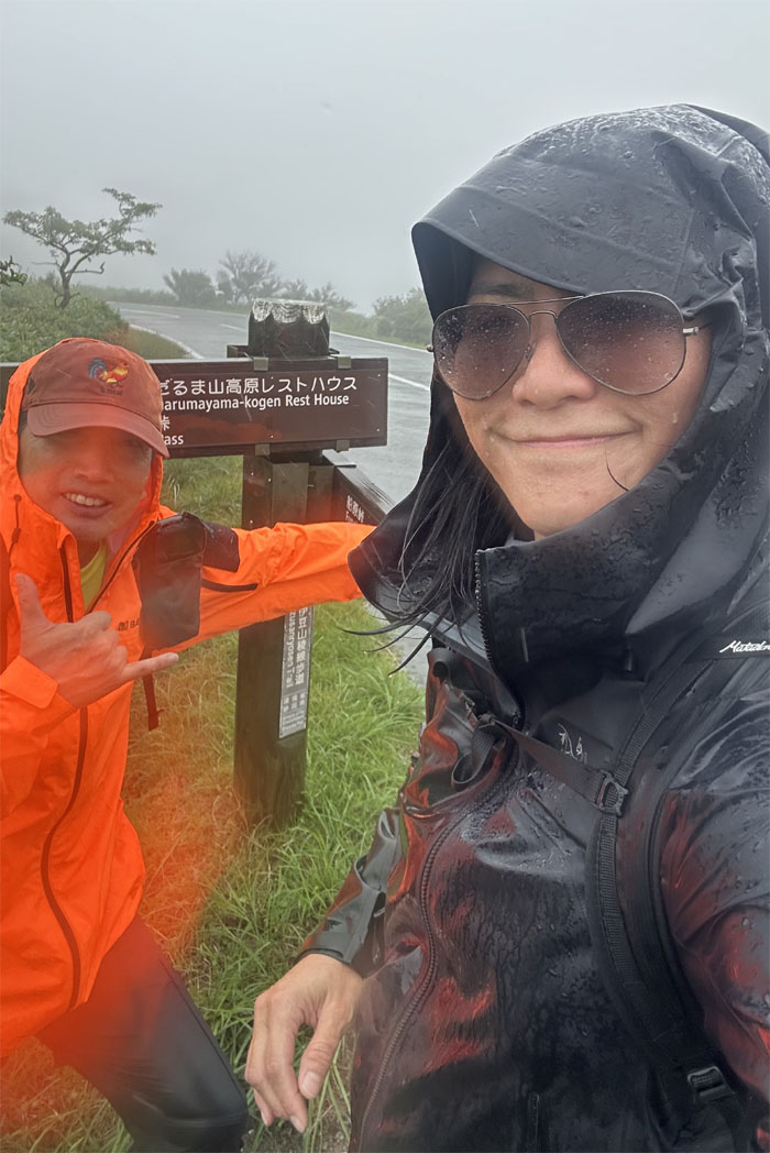
Izusanryosen Trail
We came to a road which we followed for a bit. No traffic, just our foot traffic.
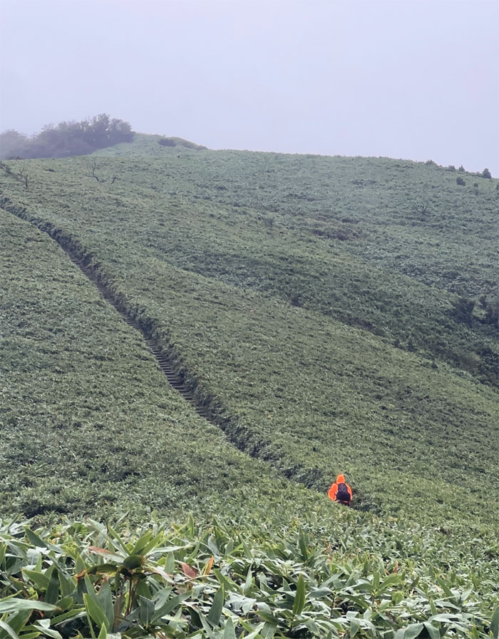
Izusanryosen Trail
Going up the short and steep hill to the summit.
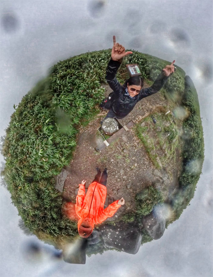
Mount Daruma
Known to have the best views of Mount Fuji from anywhere in the Izu Peninsula. Not today. This particular 3,222′ dome shaped peak is named because it resembles the Indian monk Bodhidharma (known as Daruma in Japan). Dolls of Daruma are sold everywhere with blank eyes where you color one pupil for your goal, once it’s achieved, you color in the remaining pupil.
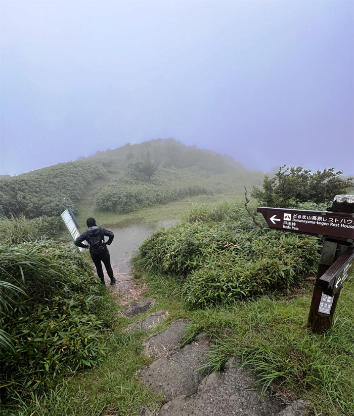
Izusanryosen Trail
Going back down the increasingly watered down trail.
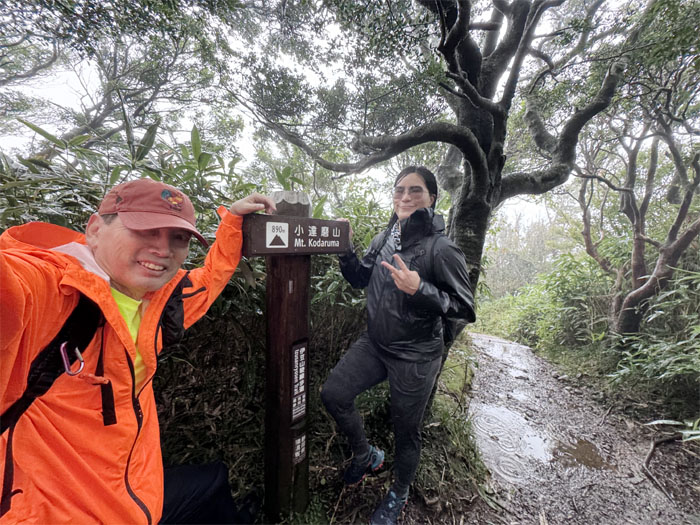
Mount Kodaruma
Brief stop at the peak sandwhiched between Daruma and Kinkan which stood at 2,920′ complete with no views as well. Batting two for two. Yay!
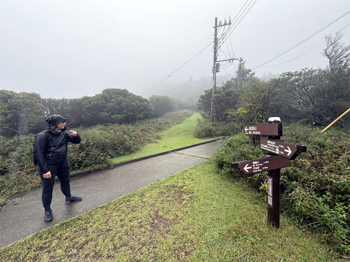
Izusanryosen Trail
We came down the trail and crossed the road to pick up another trail to our last summit for the day.
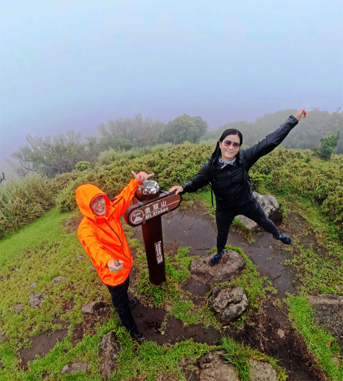
Mount Kinkan
Standing at our last summit at 2,677′ elevation whose peak takes on a distinctive golden glow during sunrise and sunset and offers unparalleled views of Mount Fuji. Not today.
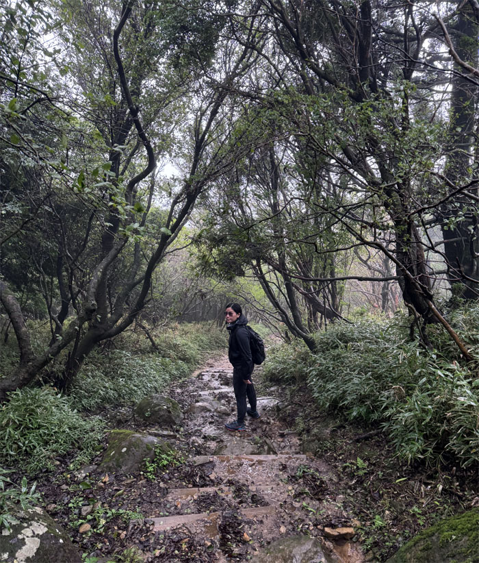
Izusanryosen Trail
Going back down the short trail as we just completed the trifecta of three summits with no views. Just another day on the KST.
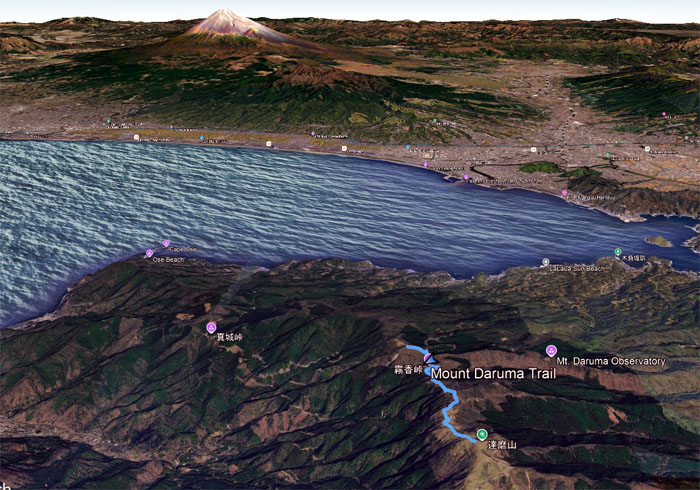
GPS Tracks
Our triple summit hike covered 3.74 miles through rain and zero visibility when it came to Mount Fuji, but it was still an adventure with fun company.
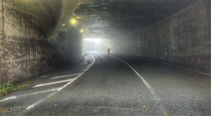
All pau
We checked out a nearby tunnel that was vacant except for echos and draining water which gave it an eerie feeling. Hopped back into the car and looked for a nearby ramen shop to warm up our cold bones. We found a soba shop instead that served the best tempura this side of the Japanese Alps. It was that good or maybe it was because we were cold and hungry. Thanks to Val for two days of rainy day adventures and for dropping me back at the Shuzenji Station where I transferred my way back to Shinjuku.
Photos/Crew taken by Val Wang and yours truly. Not necessarily in order.
Note: I have been made aware that some hikers have been using my blog as a hiking guide and getting lost on the trails. Please note that this blog was made to document the hike for the crew(s) that did it. That is why some of my comments will seem to have no relevance or meaning to anybody outside of the crew(s) that hiked that trail. My blog was never meant as a hiking guide, so please do not treat it as such. If you find inspiration and entertainment from these hikes, that is more than enough. If you plan on replicating these hikes, do so in the knowledge that you should do your own research accordingly as trail conditions, access, legalities and so forth are constantly in flux. What was current today is most likely yesterdays news. Please be prepared to accept any risks and responsibilities on your own as you should know your own limitations, experience and abilities before you even set foot on a trail, as even the “simplest” or “easiest” of trails can present potential pitfalls for even the most “experienced” hikers. One should also always let somebody know of your hiking plans in case something doesn’t go as planned, better safe than sorry.

{ 0 comments… add one now }