

It was time for that once a month club or something to that effect. Somebody had an itch to hike the saddle and that itch would be scratched, but not in the manner she thought it would be scratched.
Kalihi Valley
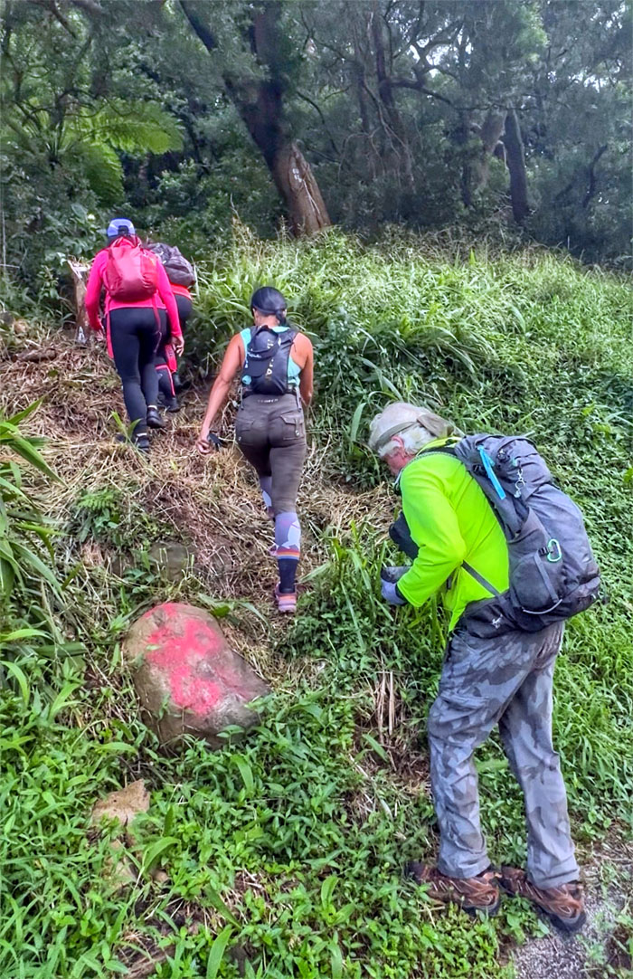
Thanks to Kenny and Lilia for dropping us off as we plunged into the forest looking for wallabies. Oh wrong hike.
Kalihi Valley
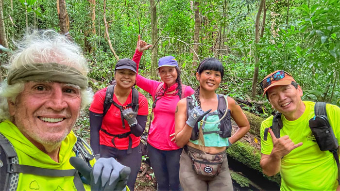
All smiles as the beginning trail was surprisingly cleared and clearly marked with orange and white ribbons. HTMC at work? The club was the one that actually “made” this trail after all.
Kalihi Valley
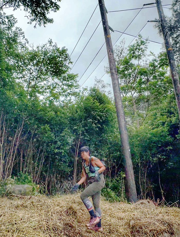
We soon came to a clearing marked by powerlines. HECO at work.
Kalihi Valley
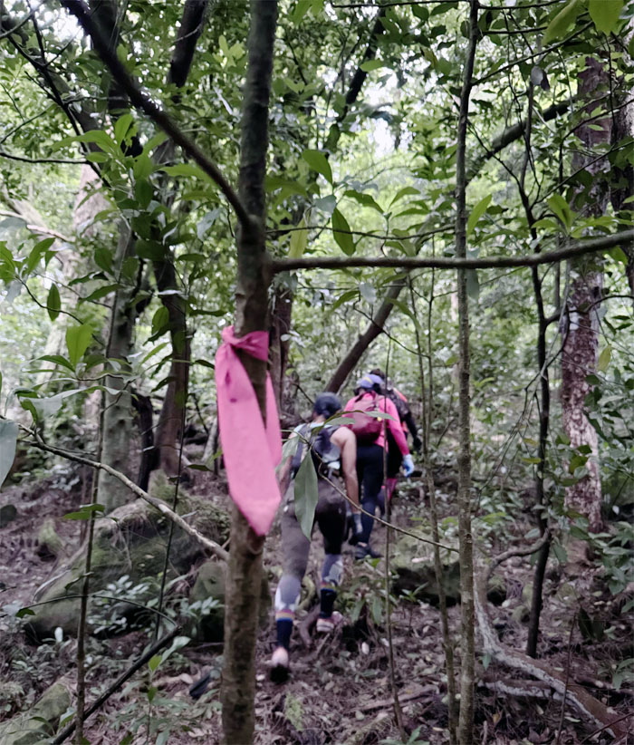
Picking out the trail through the forest.
Kalihi Valley
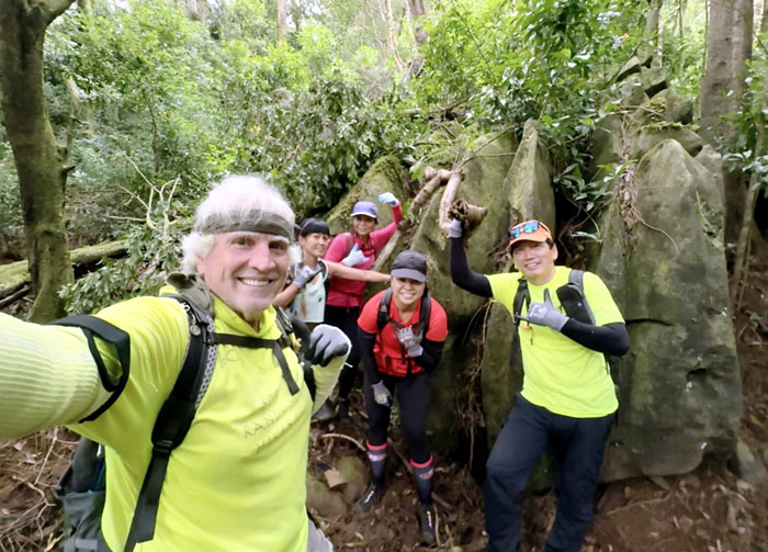
Group photo in front of the bell pepper or dinosaur rock.
Kalihi Valley
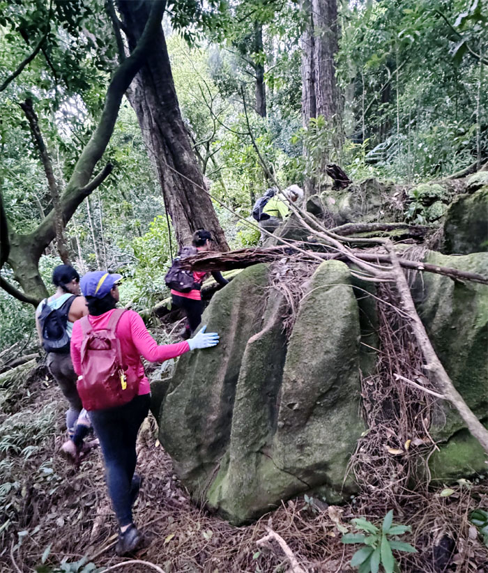
Contouring around the second and smaller bell pepper or dinosaur rock.
Commando Trail
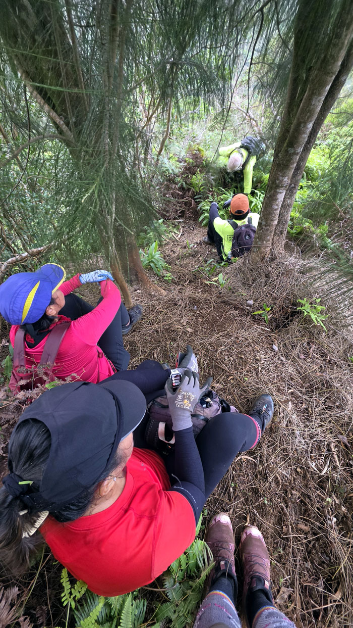
The group bushwhacked our way up from the valley to the spur ridge. The worst was behind us, right? Think again.
Commando Trail
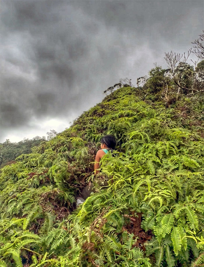
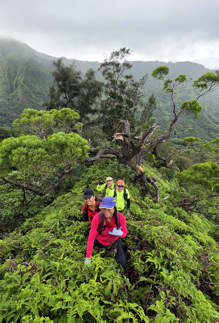
Where is the trail?
Commando Trail
The trail had been swallowed by the uluhe ferns probably through a combination of the recent heavy rains and lack of foot traffic.
Commando Trail
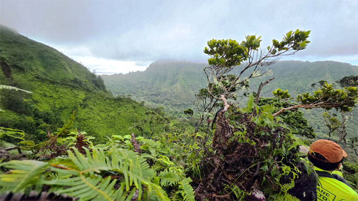
Looking at Kalihi Saddle which was our intended destination as rain showers washed over the ridge line. Passing morning showers?
Commando Trail
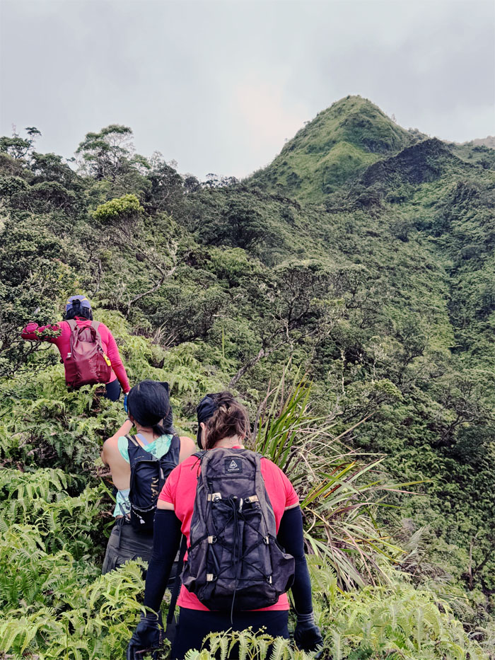
Can you see the face for the mountain?
Commando Trail
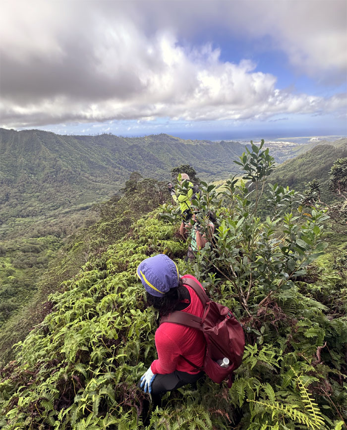
Bushwhacking is tiring work, so we rotated the lead position when the foliage became dense and unyielding.
Commando Trail
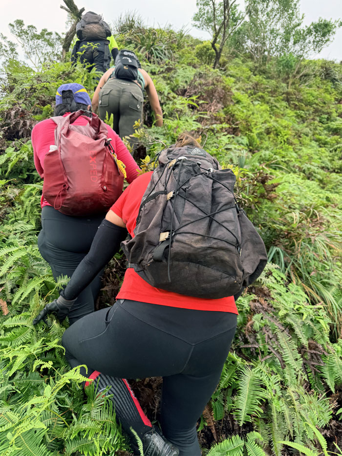
Whose bright idea was it to climb up this ridge instead of the scheduled descent?
Bowman Trail
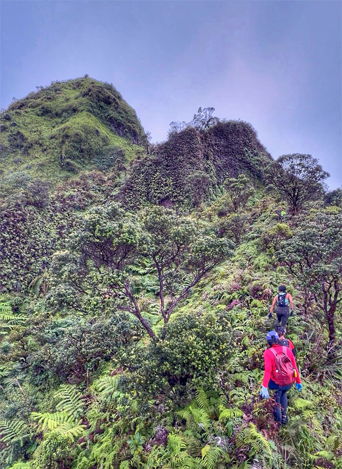
The heavy overgrowth made the transition from Commando to Bowman pass unnoticed by us but not under the watchful gaze of Jabba the Hut.
Bowman Trail
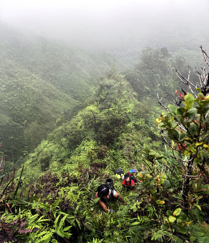
Climbing up the steep section with an assortment of climbing aids to include rope, webbing and printer cable. This is hiking in Hawaii.
Bowman Trail
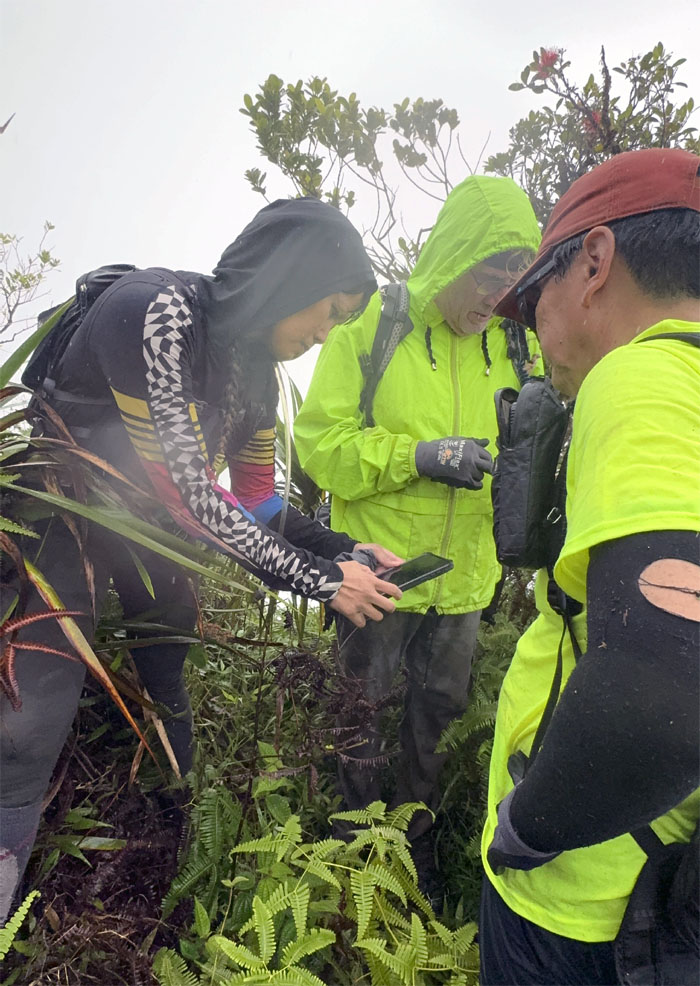
Point of no return? The increasing frequency of the rain showers, while not pelting, was of concern along with the forecast for more rain in our future. It was decided, albeit grudgingly, to turn back and return another day.
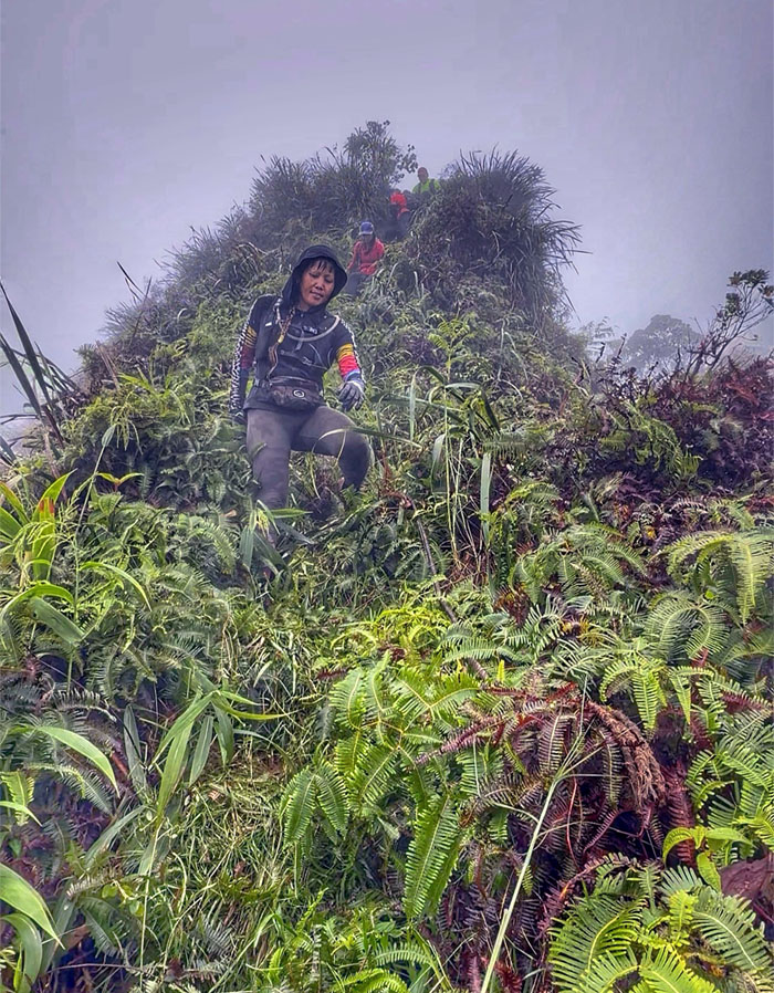
Bowman Trail
What goes up, must come back down.
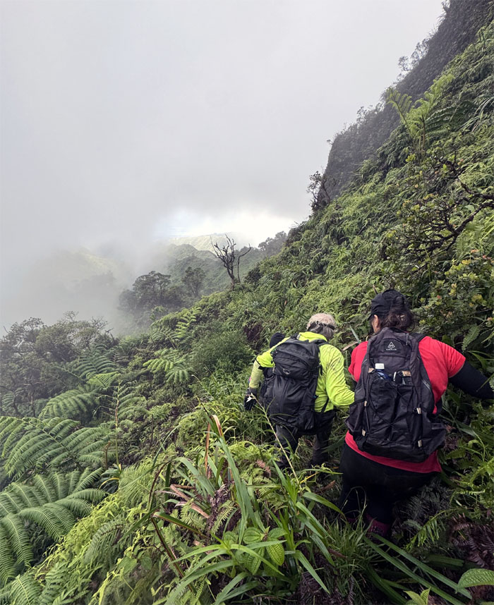
Bowman Trail
Clinging on the side of the mountain as we pressed forward or backwards.
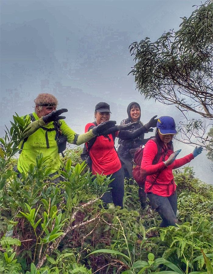
Bowman Trail
The hike would not be complete without a showing from the Dancing Queens.
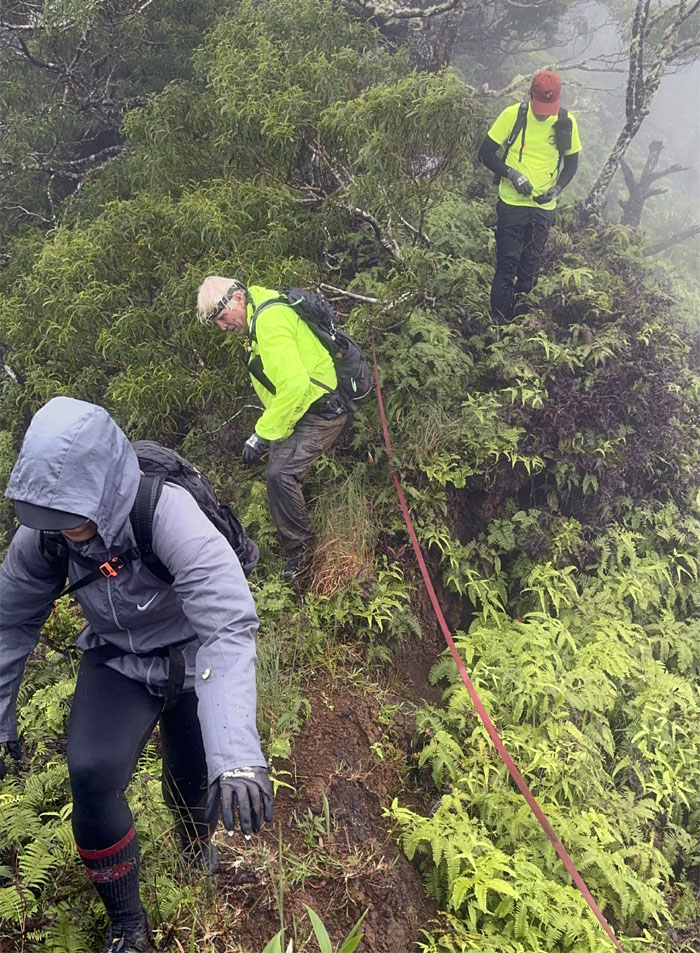
Bowman Trail
Traversing the undulating ridge line.
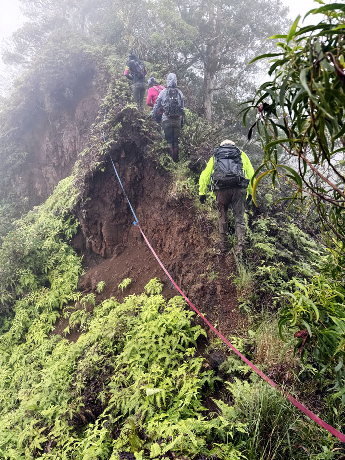
Bowman Trail
The webbing was set to warn hikers of the eroded section on the trail. Caution tape would’ve worked just as well.
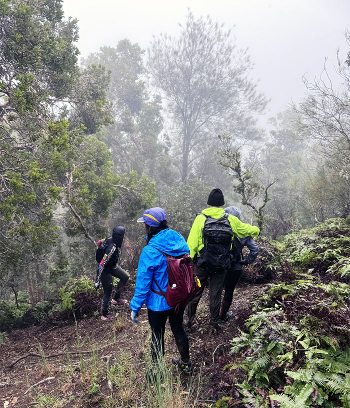
Bowman Trail
Should we take this lower trail? Stay high on the ridge line.
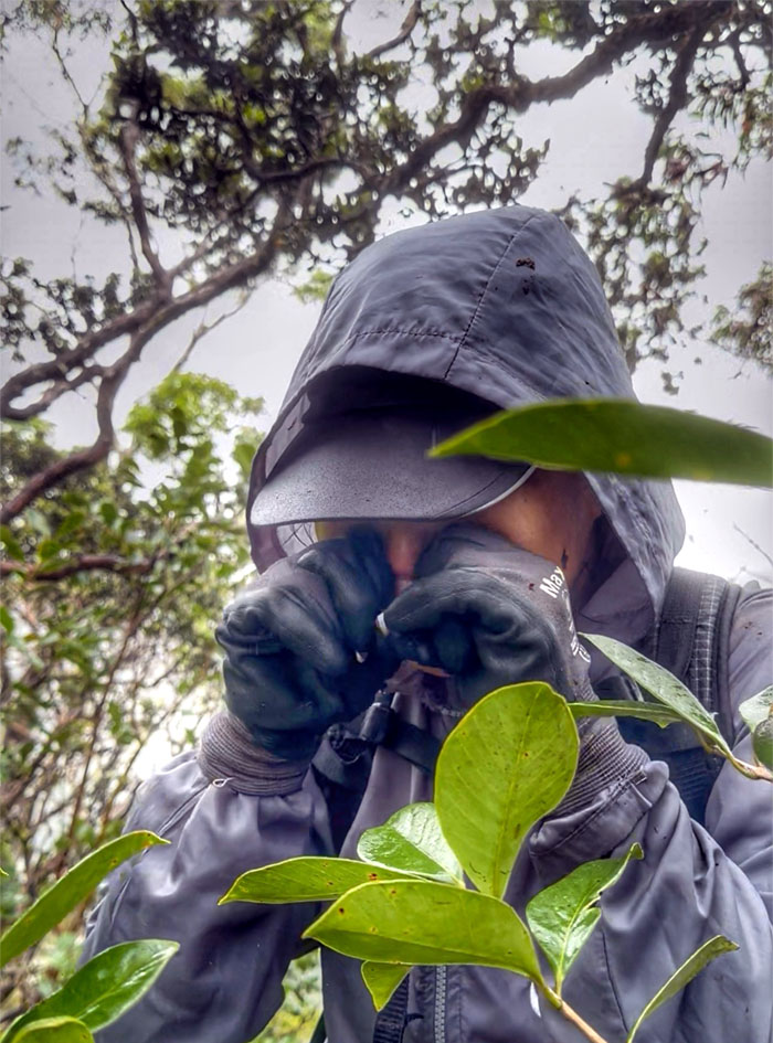
Bowman Trail
Why is Marilyn shedding crocodile tears in the rain? A) We didn’t get to do Kalihi Saddle as originally planned. B) We seemed to have lost the trail high on the ridge line. C) All of the above.
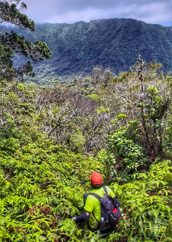
Bowman Trail
Following the ridge line with no apparent trail in sight for over half an hour, we looked at the spacing of the topographical lines and decided to just bushwhack our way down to the ravine and eventually intersect the actual trail. It was only roughly 200′ give or take of elevation loss.
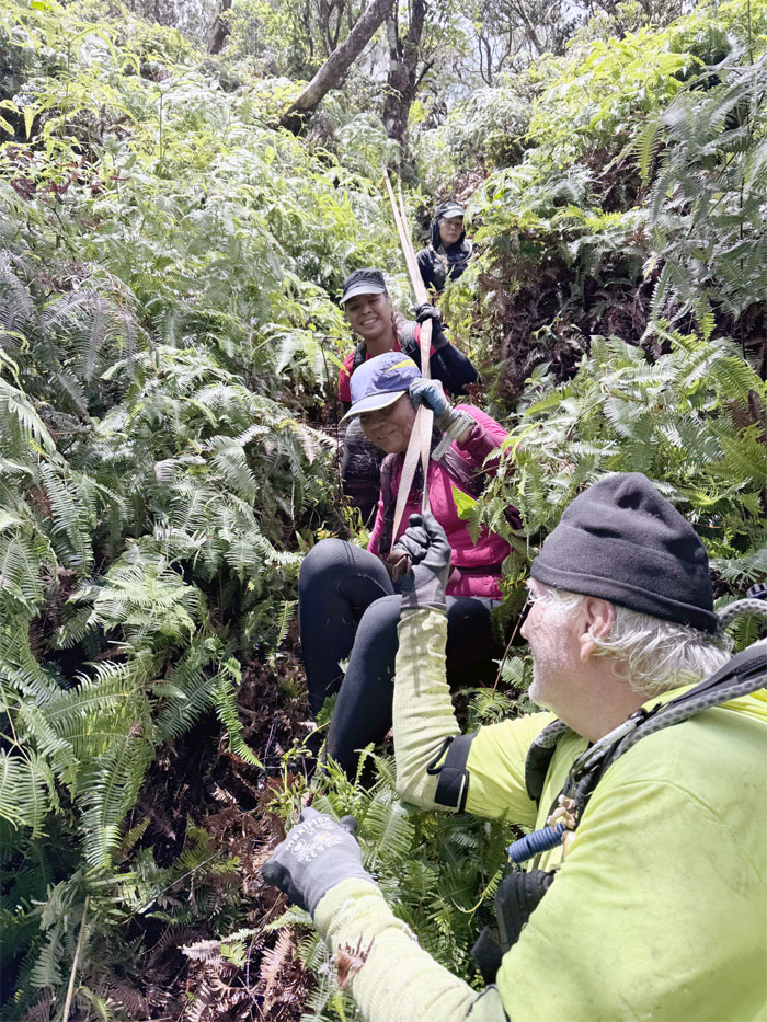
Bowman Trail
The initial descent was somewhat steep and carpeted with heavy uluhe that masked several deep holes.
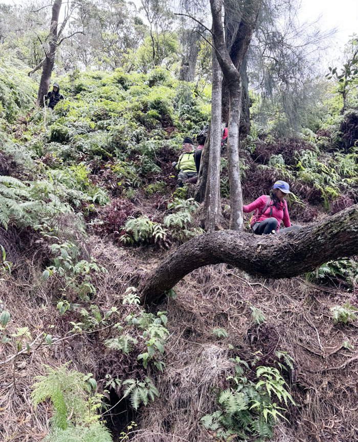
Bowman Trail
We soon were able to actually see the ground below our feet and the grade became less severe as we dropped to the dry streambed below us.
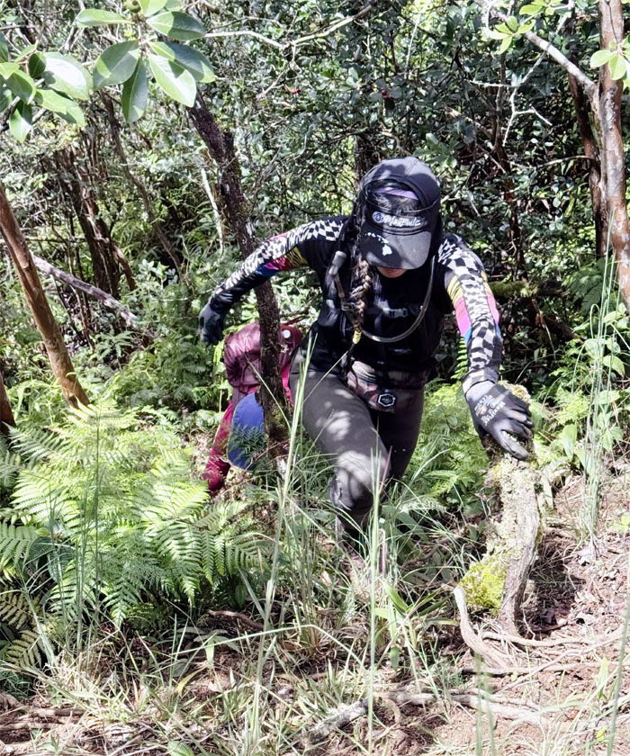
Bowman Trail
Scrambling up the steep and slippery hill where we soon met up with the trail.
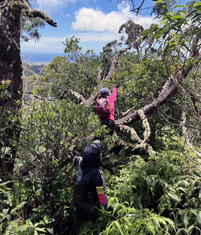
Bowman Trail
Cristy harvesting the abundant red and yellow strawberry guavas on the trail. The invasive plant that is native to Brazil, was introduced to Hawaii in 1825 by the British and spread throughout the islands by birds and pigs. They block out sunlight for native plants and consume more water than other plants.
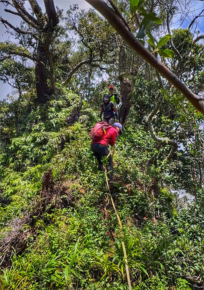
Bowman Trail
Down …
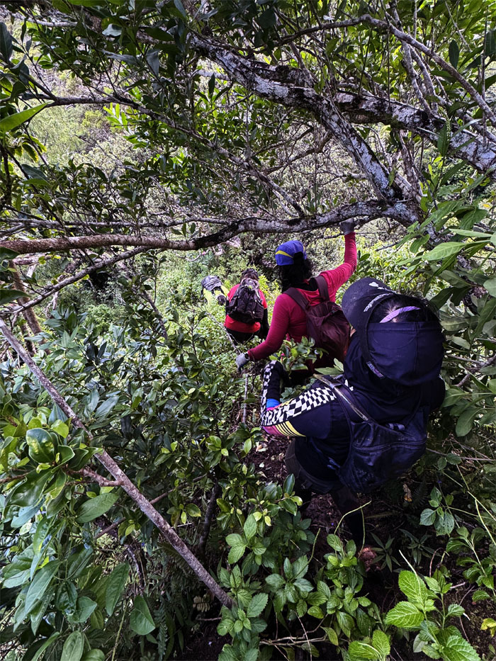
Bowman Trail
… down …
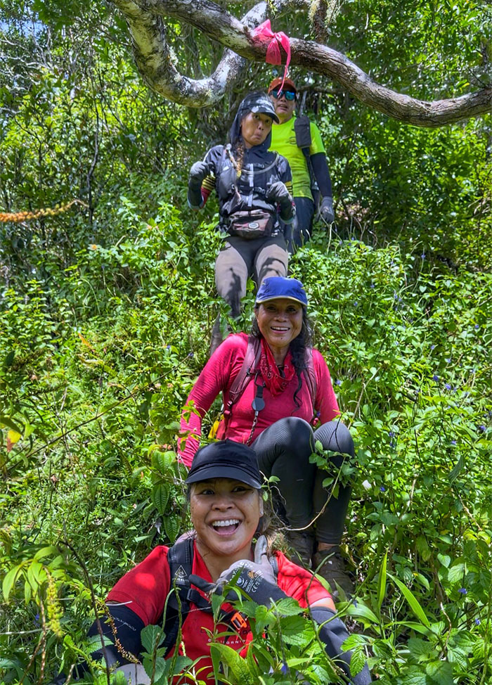
Bowman Trail
… and down. We must be getting closer to the bottom.
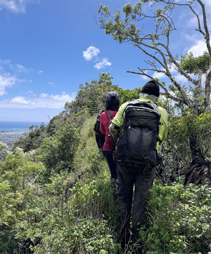
Bowman Trail
Nope. The rolling ridge was punctuated with many false summits, just like any other ridge lines.
Bowman Trail
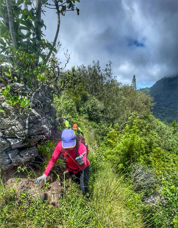
Contouring around the rock that squarely in our path.
Bowman Trail
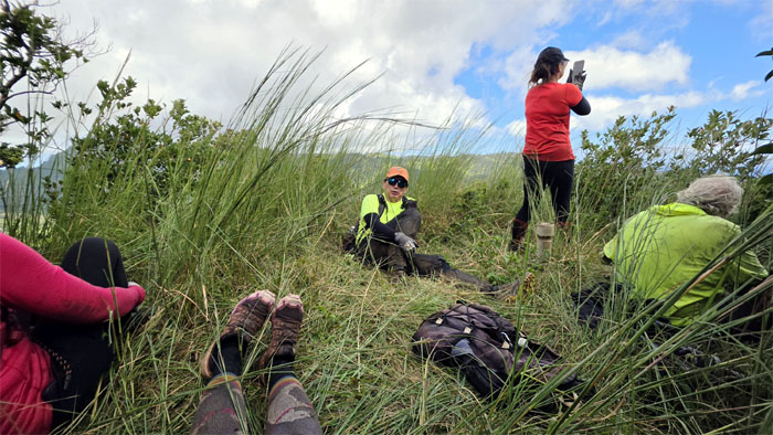
Taking a break at the geodetic survey marker and not to be confused with a geocache.
Bowman Trail
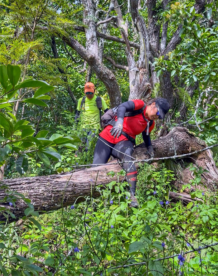
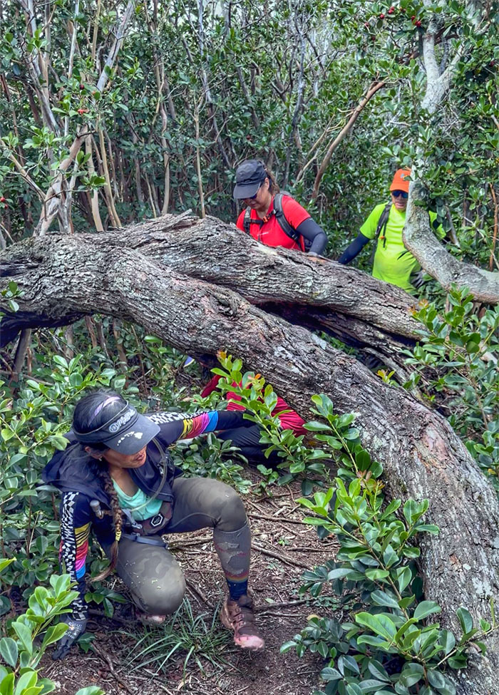
Over …
Bowman Trail
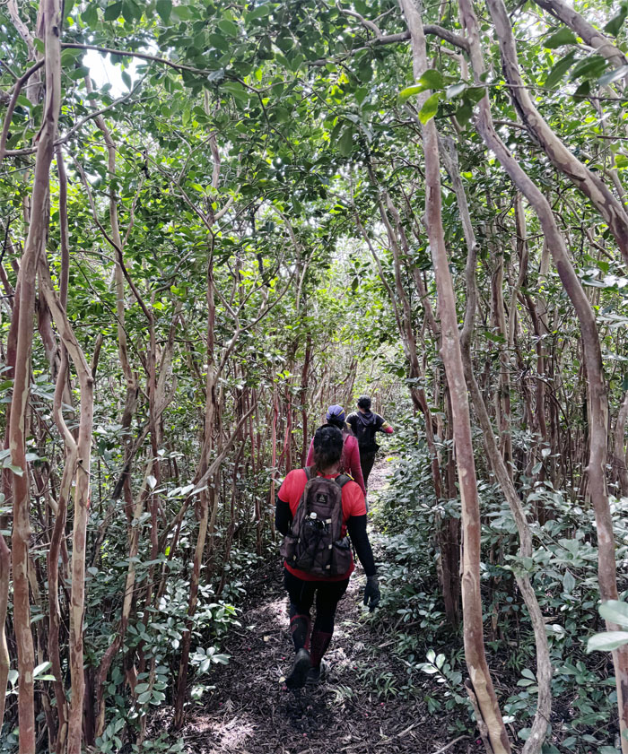
… through …
Bowman Trail
… and under.
Bowman Trail
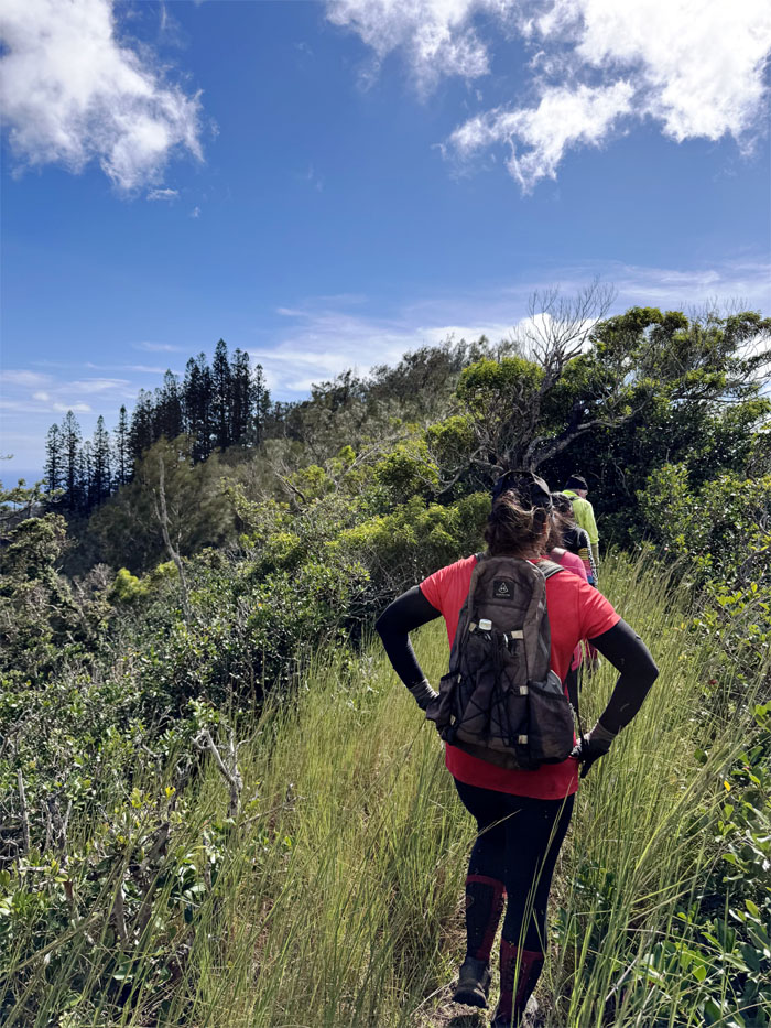
Are we there yet?
Bowman Trail
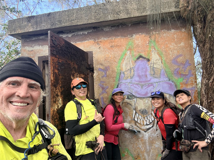
The end of the trail that was marked with a WW2 bunker probably meant for observation or command and control purposes?
Bowman Trail
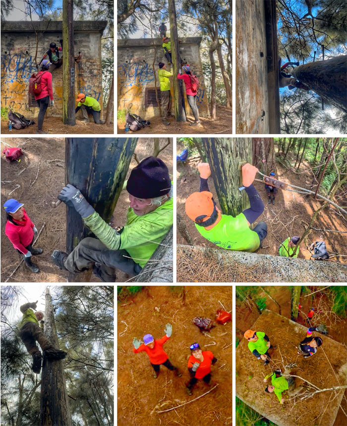
Time to explore the exterior of the bunker as there was nothing of note in the interior of the structure.
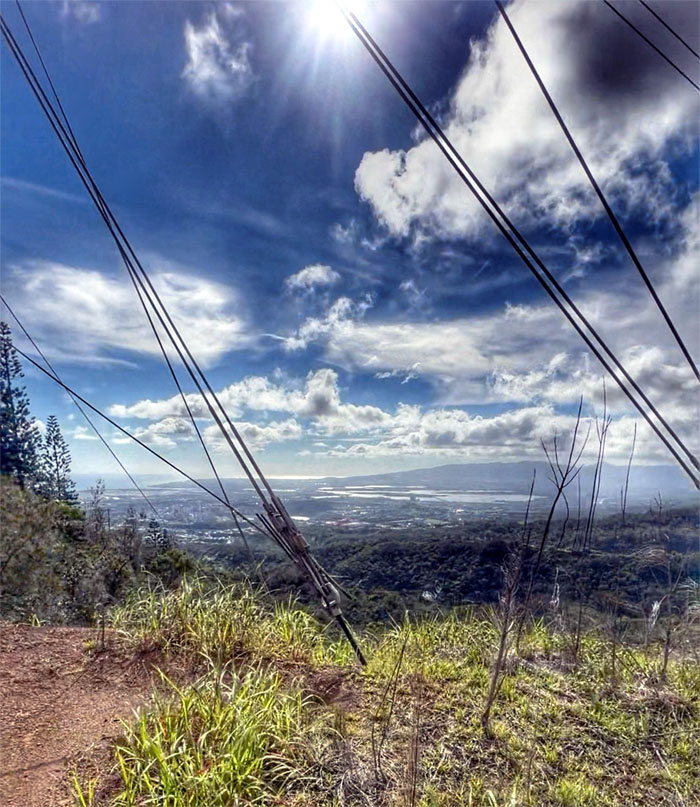
Radar Hill Road
Nice views but this is not the way we want to go.
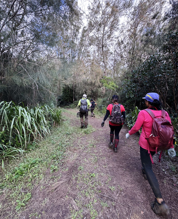
Radar Hill Road
Back the other way.
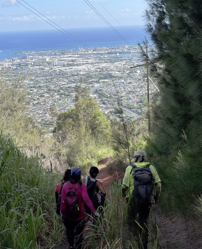
Trail
We branched off the road and descended down towards the urban creep.
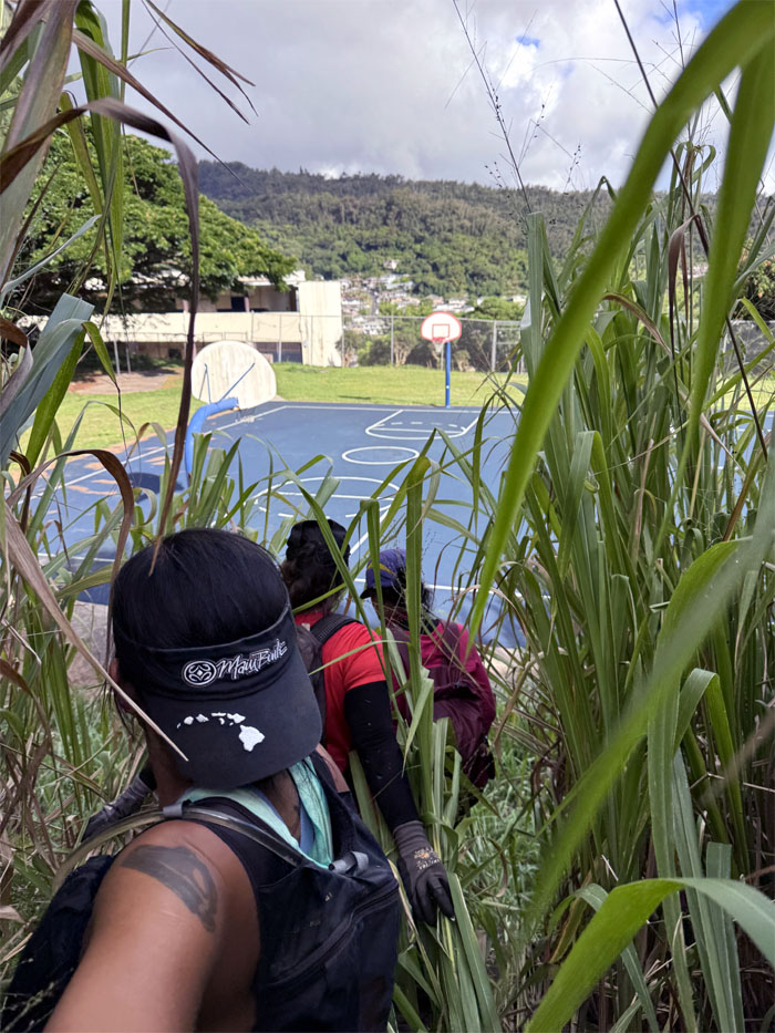
Trail
The end is in sight! Yah! I think I can speak for the group and say we were over this trail and then some.
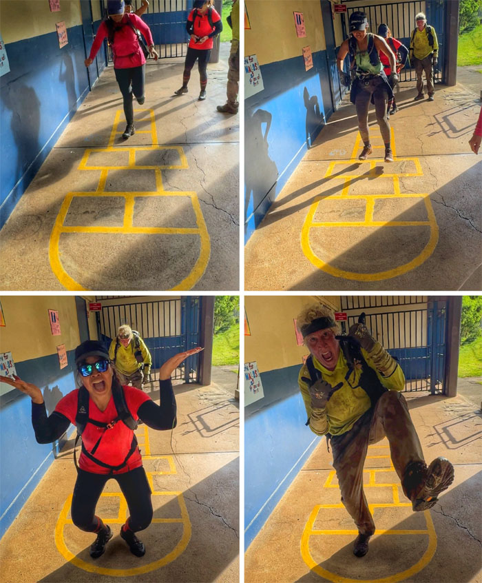
Kalihi Elementary
Playing hopscotch like it was yesterday.
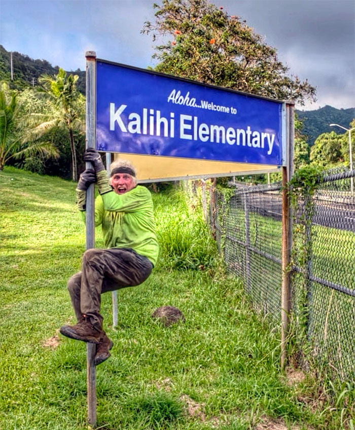
Kalihi Elementary
Kid at heart. We were in the right place.
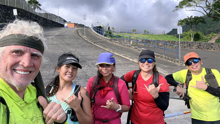
All pau
Thanks to Akira and Lilia for picking us up in the crowded neighborhood.
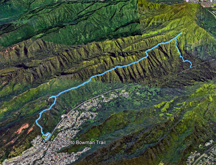
GPS Tracks
Our not as planned hike covered 5.17 miles with fun company and good times. Is it the journey or the destination? Neither. It’s the company. Post hike meal at Teishoku where we were also joined by Aida, Kenny and Val.
Photos/Crew taken by Aileen Agustin, Chico Cantu, Cristy CM, Marilyn Bermudez, and yours truly. Not necessarily in order.
Note: I have been made aware that some hikers have been using my blog as a hiking guide and getting lost on the trails. Please note that this blog was made to document the hike for the crew(s) that did it. That is why some of my comments will seem to have no relevance or meaning to anybody outside of the crew(s) that hiked that trail. My blog was never meant as a hiking guide, so please do not treat it as such. If you find inspiration and entertainment from these hikes, that is more than enough. If you plan on replicating these hikes, do so in the knowledge that you should do your own research accordingly as trail conditions, access, legalities and so forth are constantly in flux. What was current today is most likely yesterdays news. Please be prepared to accept any risks and responsibilities on your own as you should know your own limitations, experience and abilities before you even set foot on a trail, as even the “simplest” or “easiest” of trails can present potential pitfalls for even the most “experienced” hikers. One should also always let somebody know of your hiking plans in case something doesn’t go as planned, better safe than sorry.

{ 2 comments… read them below or add one }
Awesome blog brother.
Awesome adventure! So much fun with friends. ????????
Aloha Chico,
Yep, tons of fun in the rain. lol.
Mahalo