
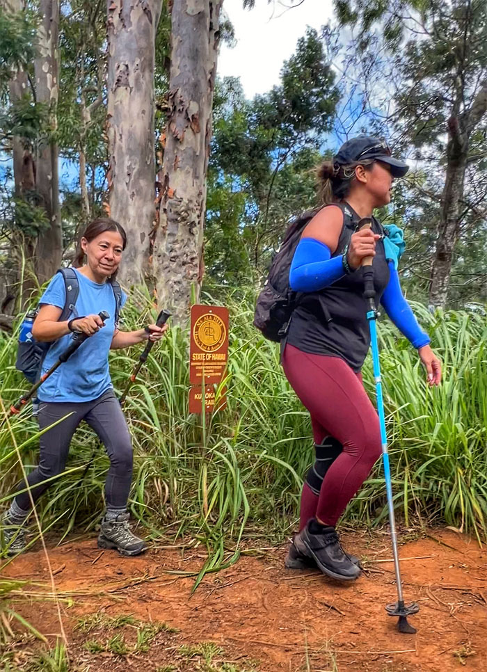
A bunch of us took a walk on the West side today.
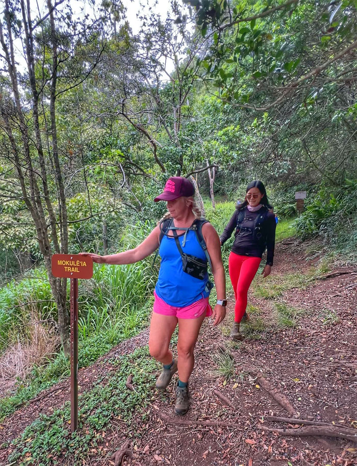
Kuaokala Trail
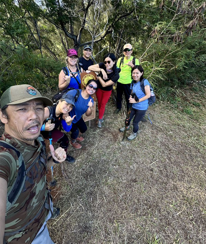
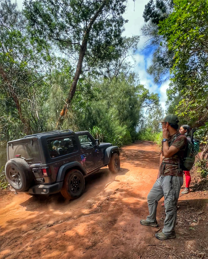
Thanks to Edgar for driving Akira, Allison, Mari, Marilyn, Tessa, Val and myself up the winding road to the Kaena Point Space Force Tracking Station. Not to be confused with Spaceballs.
Kuaokala Trail
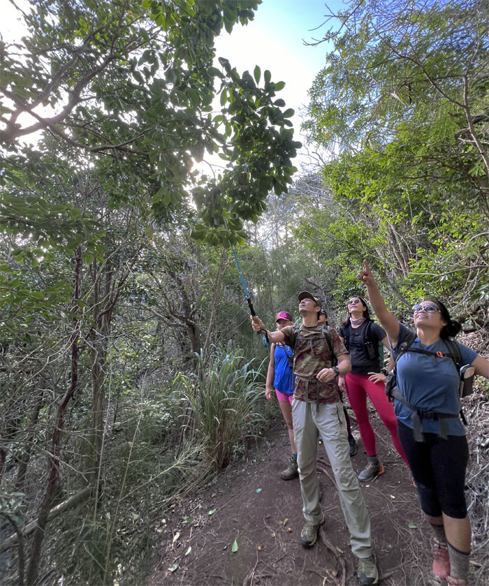
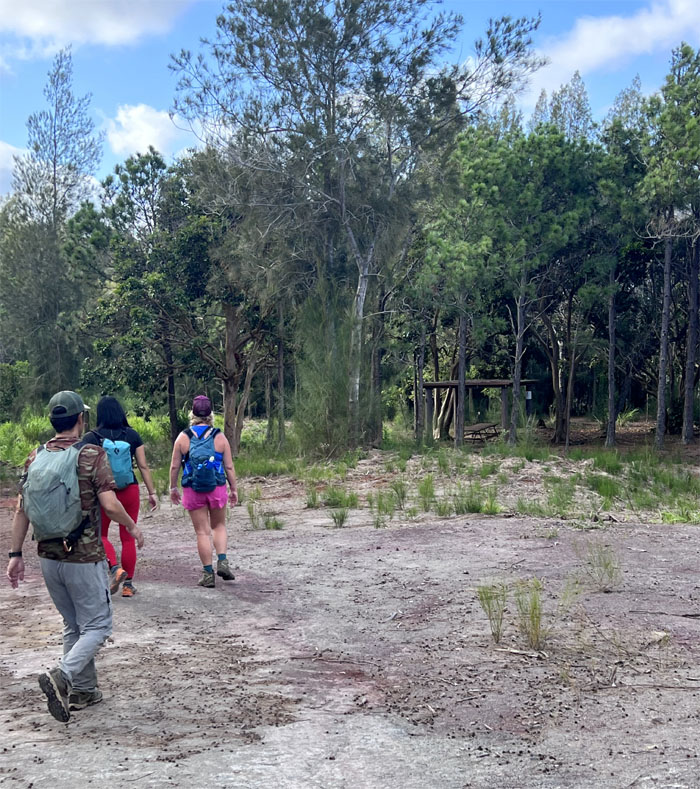
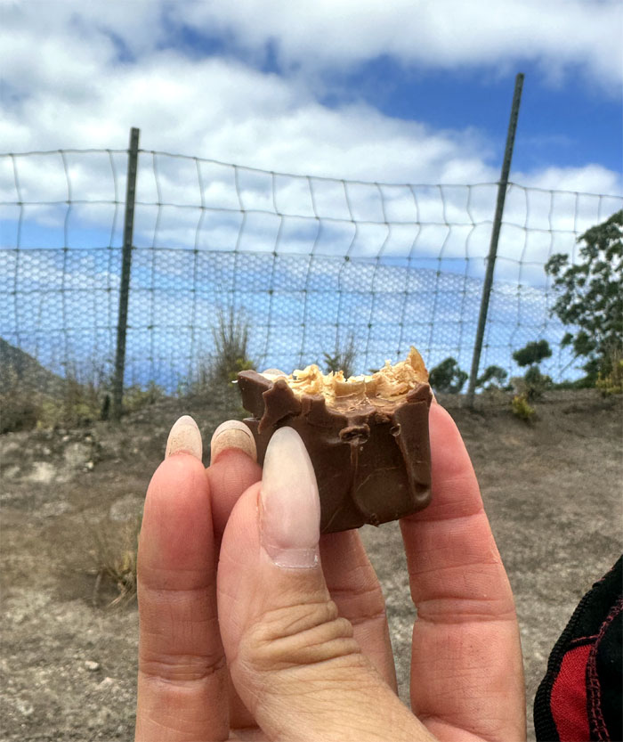
Foraging for trail snacks when we haven’t even been 10 minutes on the path. Priorities.
Kuaokala Trail
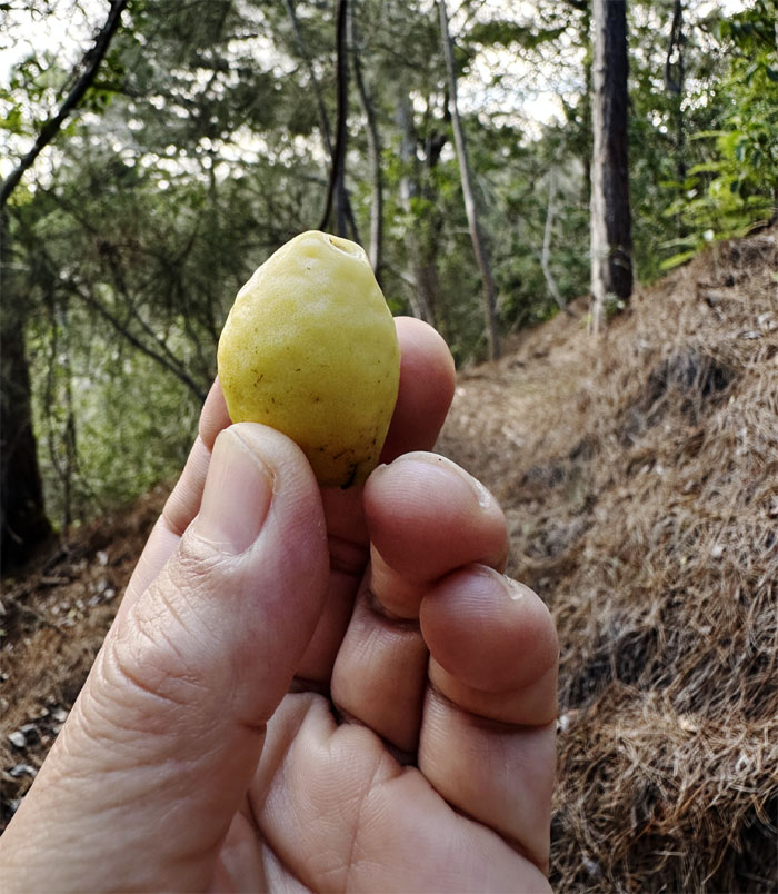
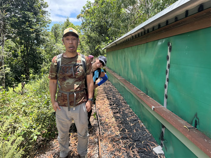
Yellow guavas are much sweeter than their red cousins.
Kuaokala Trail
Stepping foot on the Waianae Summit Trail (WST). It was a refreshing change to do this in broad daylight rather than under the cover of darkness.
Kuaokala Trail
Passing the Boy Scout Picnic Shelter. We are hiking today and not having a picnic. Besides, nobody brought steak today.
Kuaokala Trail
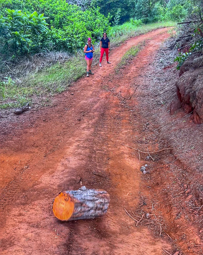
Rolling pine logs gather no moss. They just leave sap on your hands.
Kuaokala Trail
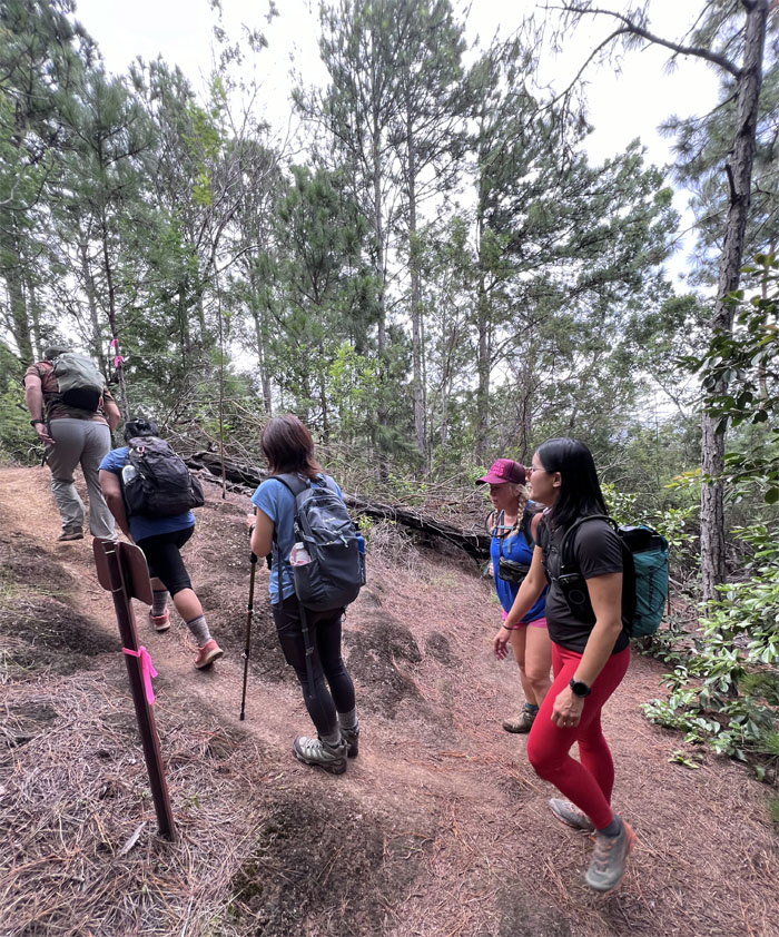
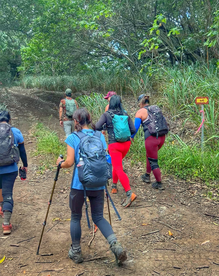
Following the well signed and marked trail. Hard to get lost.
Kuaokala Trail
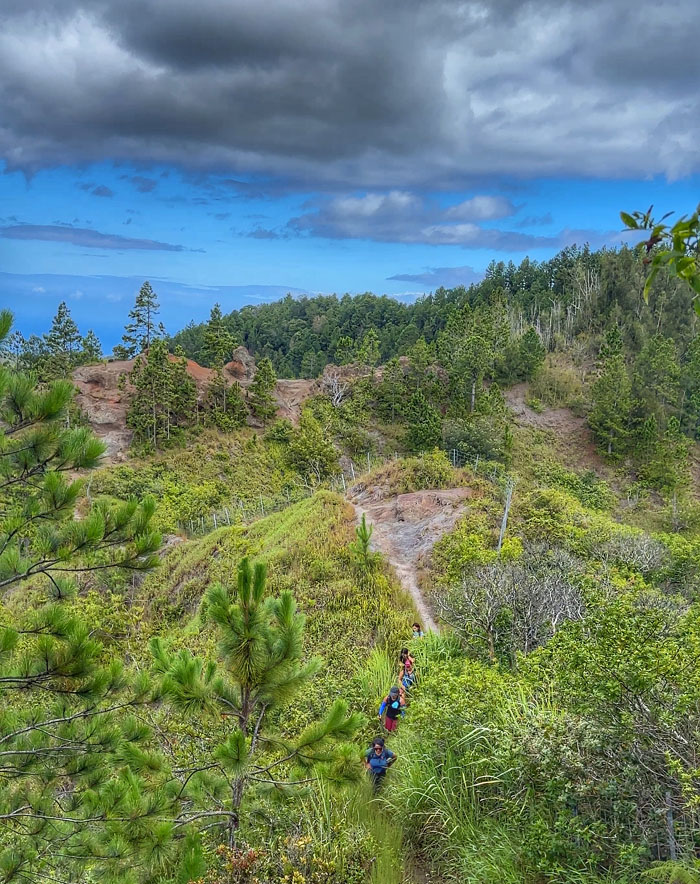
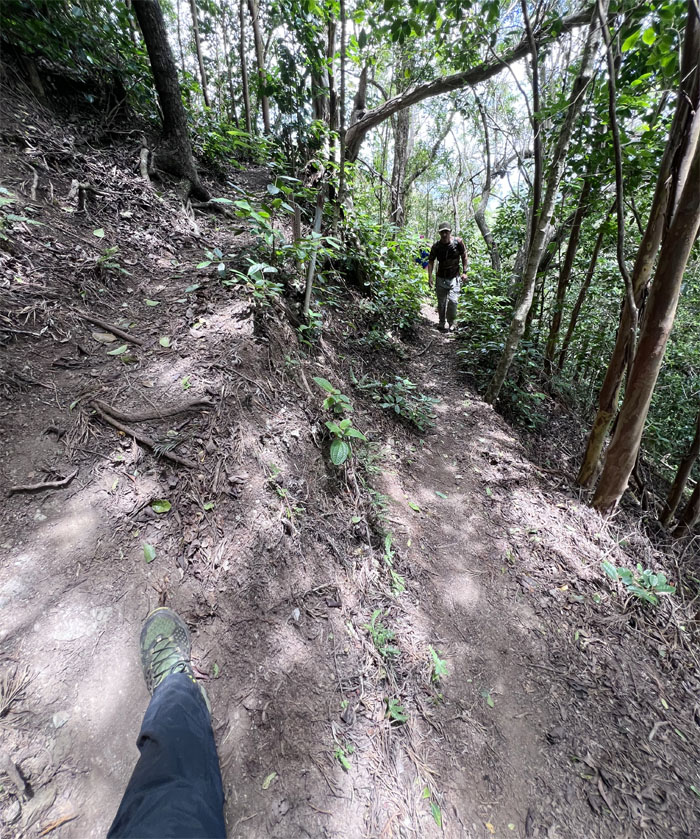
Going down the exposed and eroded area of the trail.
Kuaokala Trail
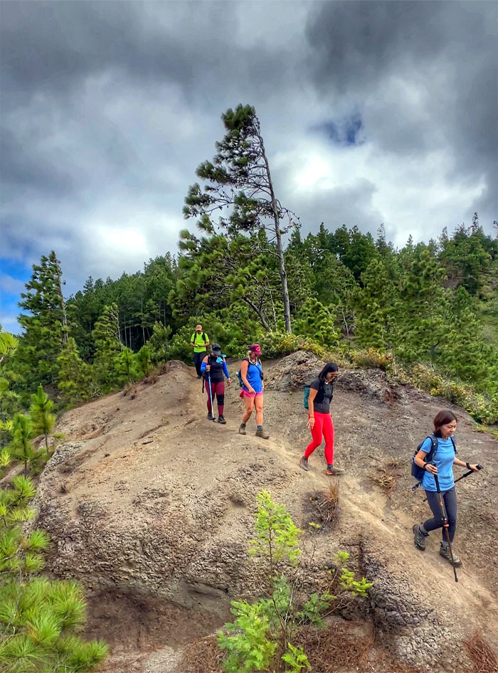
Somebody had already staked out his position on the dodo or fin rock. You can call it whatever is most palatable for you.
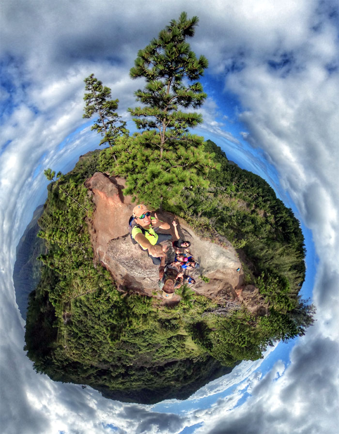
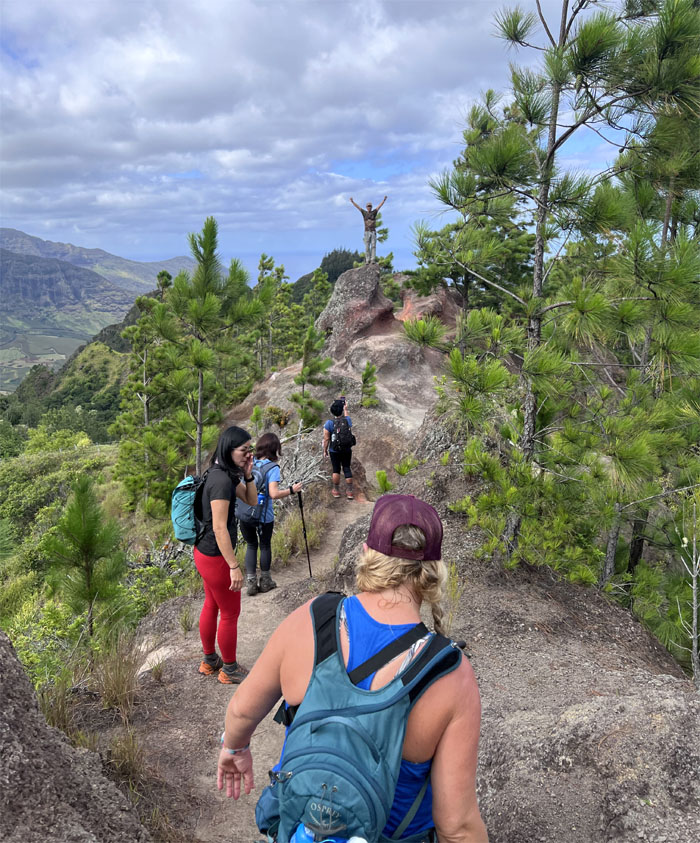
Kuaokala Trail
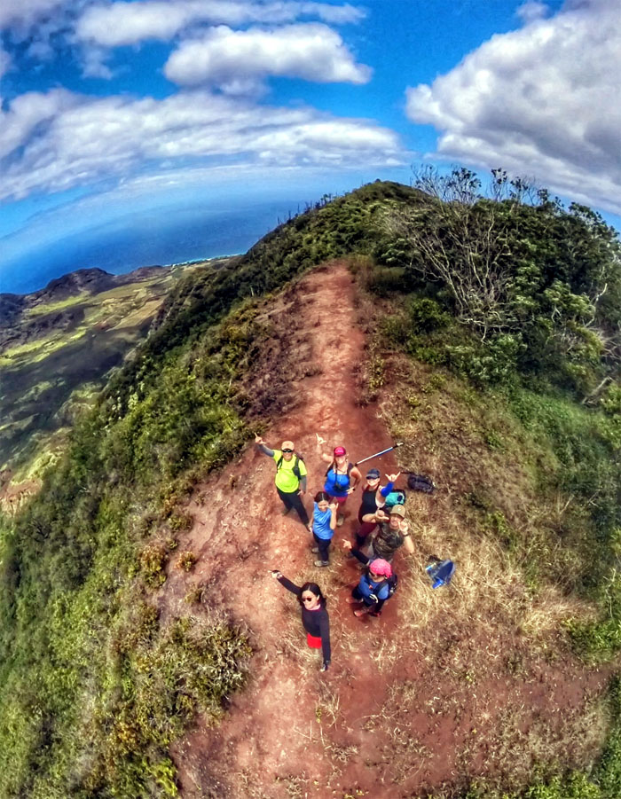
How many people can fit on this spit of a rock? Apparently seven.
Kuaokala Trail
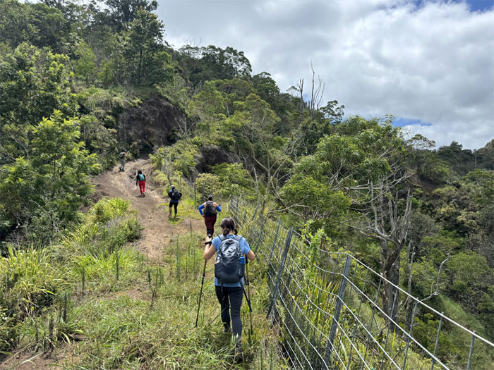
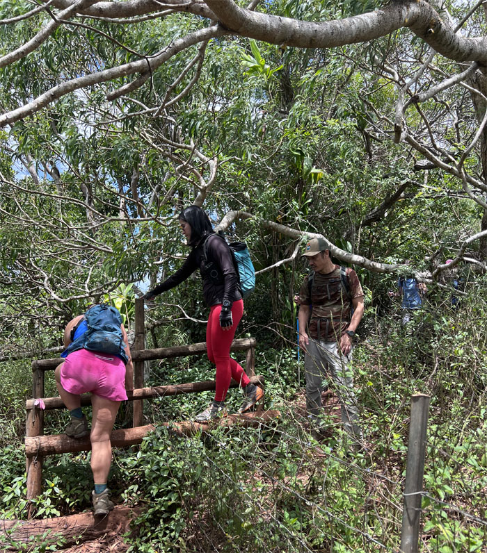
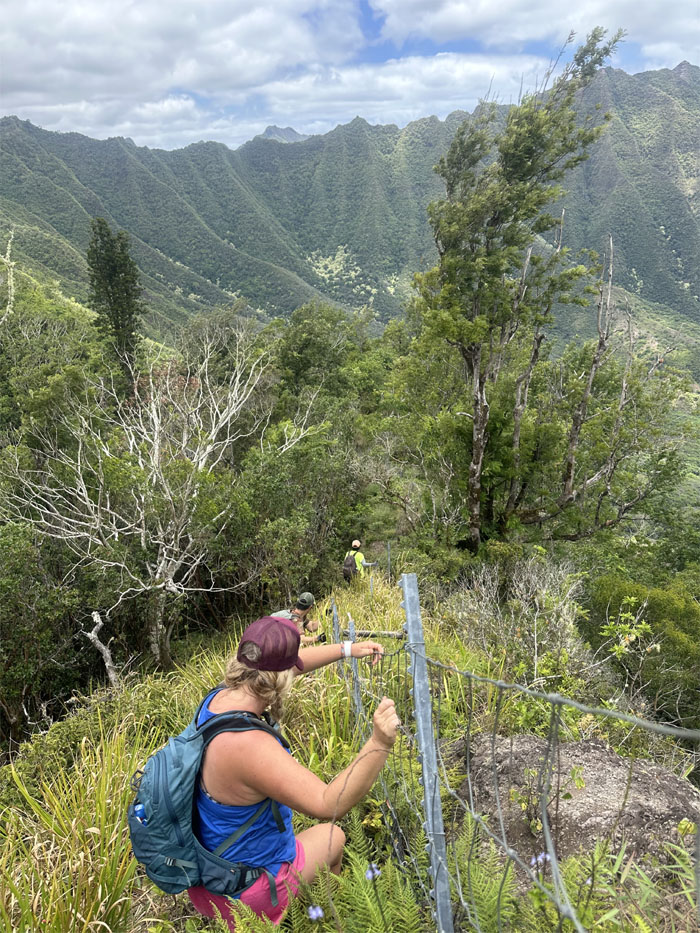
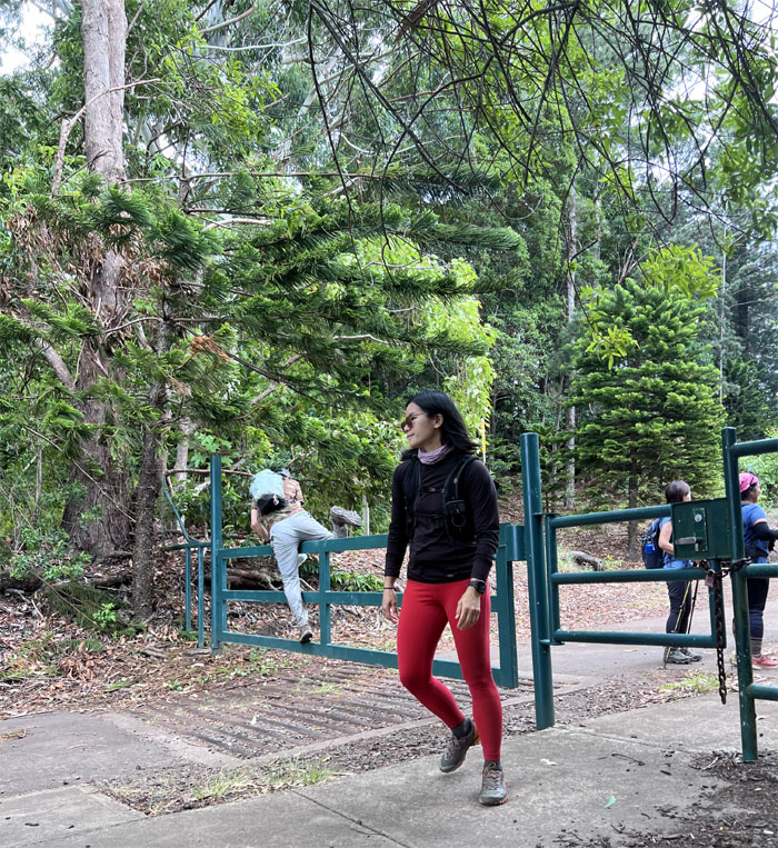
Going through the gate as we met up with the ubiquitous fence line that seems to dominate the mountains as of late.
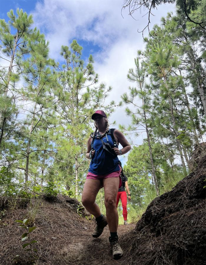
Kuaokala Trail
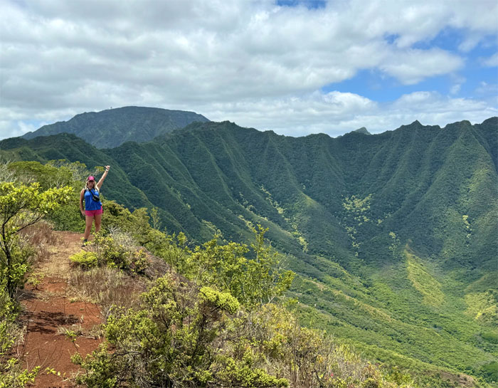
Allison training for either one of her multiple half-marathons or the Inca Trail.
Kuaokala Trail
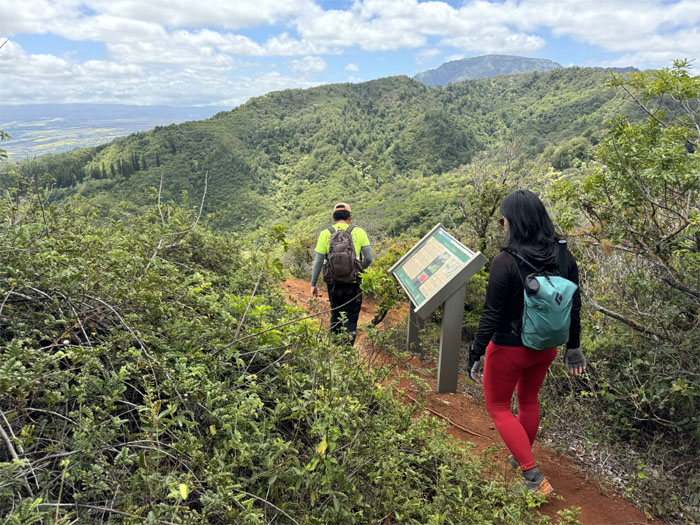
The end of the trail where we took a quick break.

Waianae Summit Trail (WST)
Just a tad overgrown. Luckily, it was just for a short stretch.
WST
Sharing the road with others. Especially when they weigh several thousand pounds more than you do.
WST
Detouring off the road for higher ground.
WST
Scenic view of Makua Valley, the valley that has gone to hell and back. But not back to its rightful owners. The current 65 year lease that the US Army paid for with one dollar, expires in 2029. The local families that were forcibly evicted from their homes and were told they would get it back after WW2 ended. The clock is ticking.
WST
Trail snacks from your favorite convenience store. No need for any foraging for this one.
WST
Trudging up the rutted trail that is also a tad overgrown.
WST
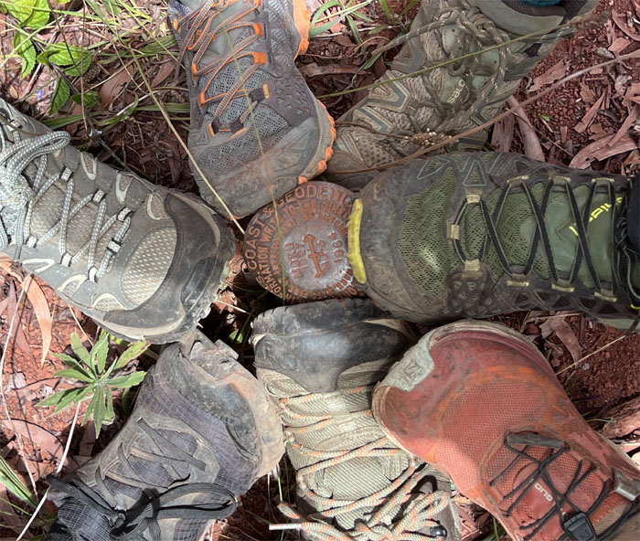
Shoefie at the geodic marker “Moku.”
WST
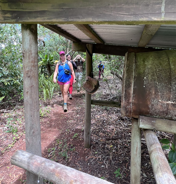
Passing the water shelter with the hanging first aid kit that needs first aid itself.
WST
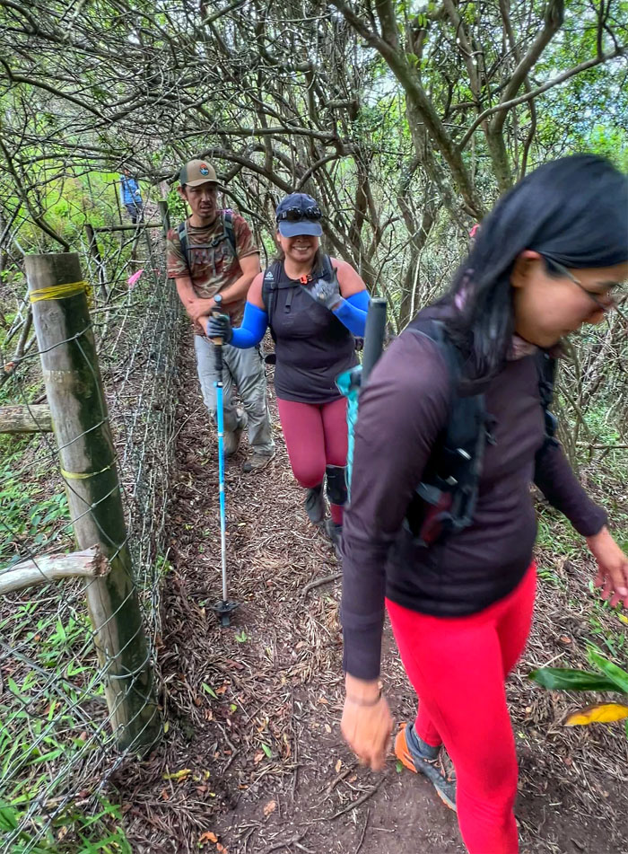
The group going over one of many fence crossings meant to keep out the invasive species that snack on the endemic fauna and flora.
WST
Welcome to Pahole, the 658 acres of natural area reserve established in 1981 to help protect the native fauna and flora from going extinct and to help build up their numbers in the wild.
WST
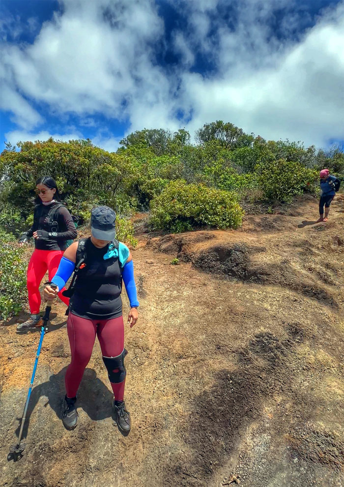
The group going down on another exposed and eroded section of the trail.
WST
Switch backing our way up through the plot of blue flagged native plantings.
WST
Passing the enclosed native snail habitat enclosure.
WST
The backdrop of the highest peak on the island that was strikingly clear, greeted us as we made our way out of the forest.
WST
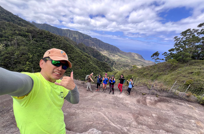
Group shot on the ridge that borders Makua Valley.
WST
We followed the fenced ridge line as we started our descent down into the valley.
WST
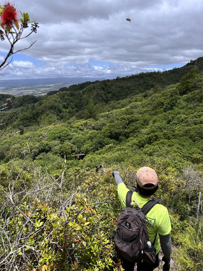
Can you see the shelter for the forest?
WST
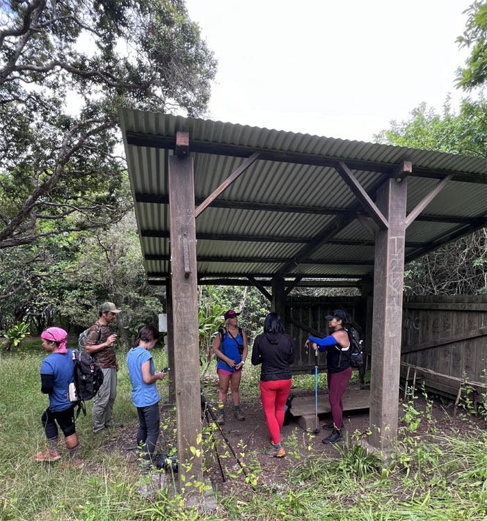
Turning off the WST as we dropped down the side trail towards the shelter.
Mokuleia Shelter
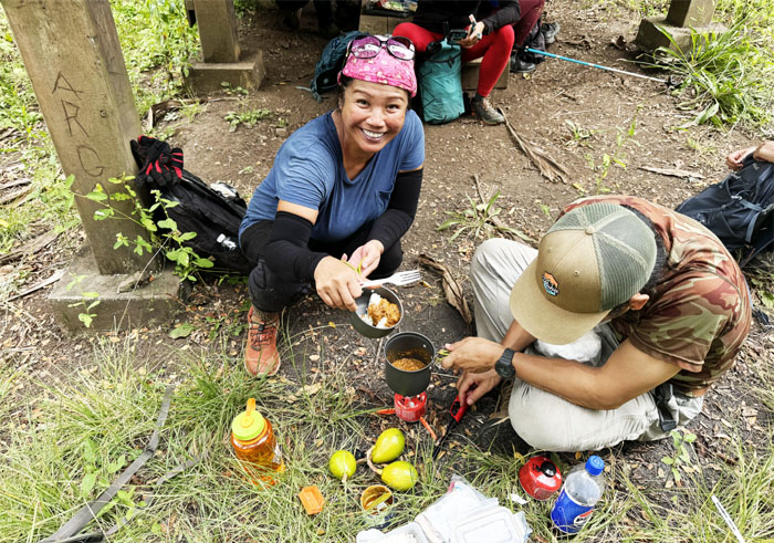
We had curry and noodles for lunch. Avocados for snacks. Future snacks. No fruiting oranges today.
Mokuleia Shelter
Everybody was looking forward to the long walk down as we collected ourselves from the shelter and made ready to leave.
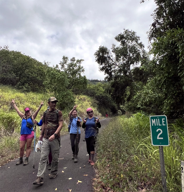
Mokuleia Trail
It was a hop, skip and jump before we found ourselves at the end of the trail. Well, more closer to 15 minutes.
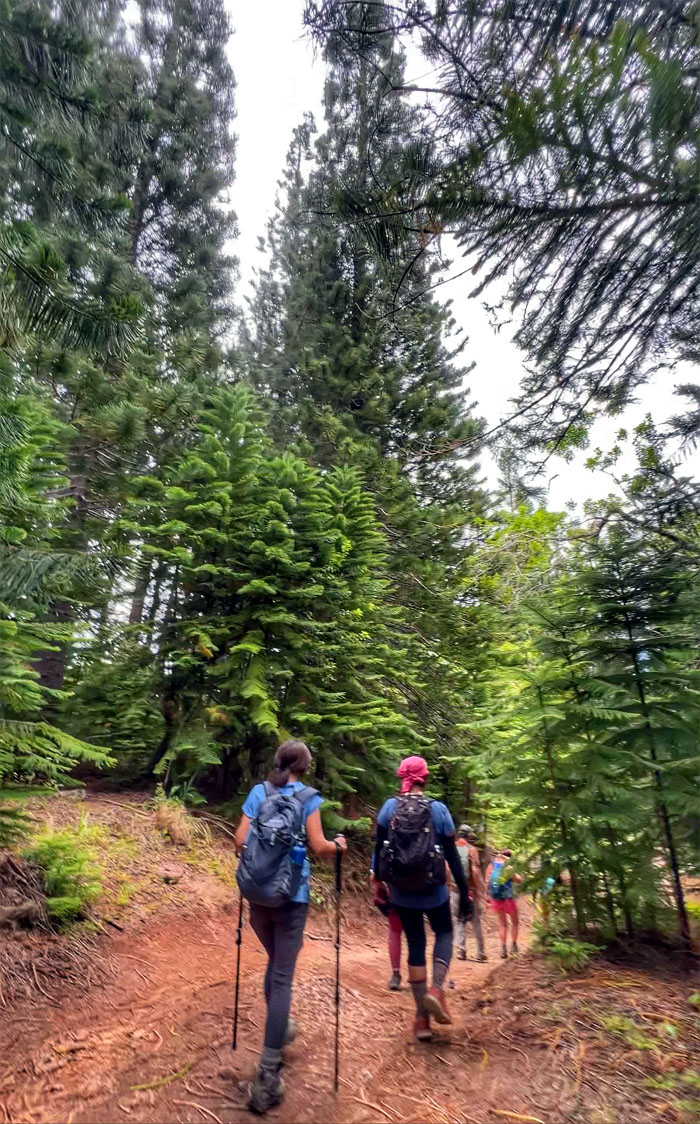
Peacock Flats
Walking down the jeep road that was dominated by the towering pine trees.
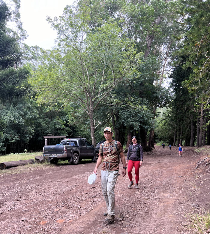
Peacock Flats
Passing through the camp grounds that was host to several families enjoying the weekend.
Peacock Flats
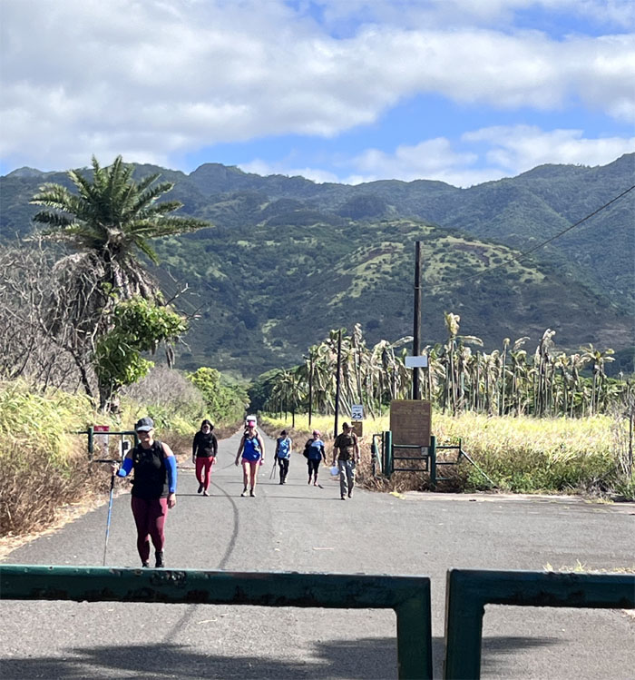
Leaving the 4×4 road for the 2×2 road.
Service Road
Walking down the paved road that is only open to two foot traffic.
Service Road
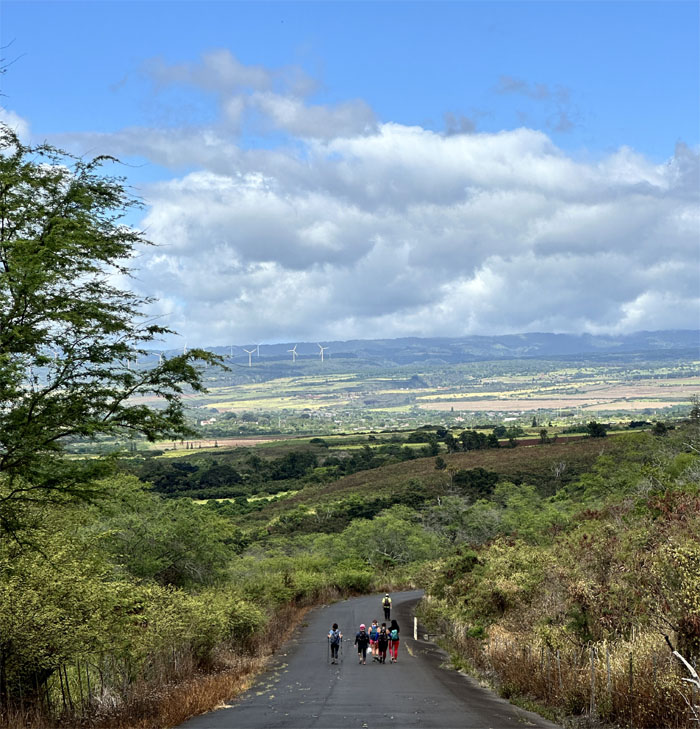
Halfway there! These roads get old pretty fast.
All pau
Shout out to Edgar who not only dropped us off but also picked us up on the other side of the island.

GPS Tracks
Our hike across the Waianae Mountains and valleys covered roughly 11 miles and change. Fun hike with a good group of friends. Post hike meal at Mililani BBQ due to Jerry’s Pizza not having enough room and more importantly no AC. Hot hikers want a cool environment to eat in. Spoiled, but that’s the truth.
Video by Edgar Gamiao of our West side hike.
https://www.youtube.com/watch?v=LzasyCnorA4
Photos taken by Akira Suzuki, Allison Banks, Edgar Gamiao, Mari Saito, Marilyn Bermudez, Tessa Bugay, Val Wang and yours truly. Not necessarily in order.
Note: I have been made aware that some hikers have been using my blog as a hiking guide and getting lost on the trails. Please note that this blog was made to document the hike for the crew(s) that did it. That is why some of my comments will seem to have no relevance or meaning to anybody outside of the crew(s) that hiked that trail. My blog was never meant as a hiking guide, so please do not treat it as such. If you find inspiration and entertainment from these hikes, that is more than enough. If you plan on replicating these hikes, do so in the knowledge that you should do your own research accordingly as trail conditions, access, legalities and so forth are constantly in flux. What was current today is most likely yesterdays news. Please be prepared to accept any risks and responsibilities on your own as you should know your own limitations, experience and abilities before you even set foot on a trail, as even the “simplest” or “easiest” of trails can present potential pitfalls for even the most “experienced” hikers. One should also always let somebody know of your hiking plans in case something doesn’t go as planned, better safe than sorry.
{ 0 comments… add one now }