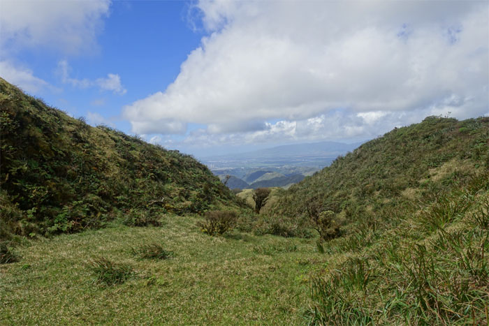
The mountains were calling and we answered with a weekend camping hike.
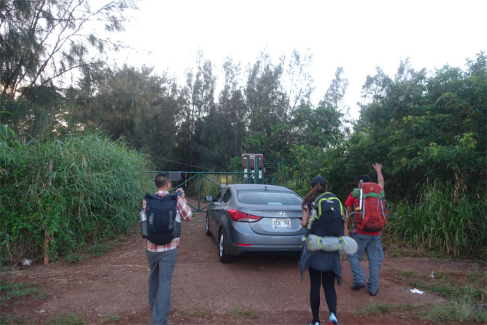
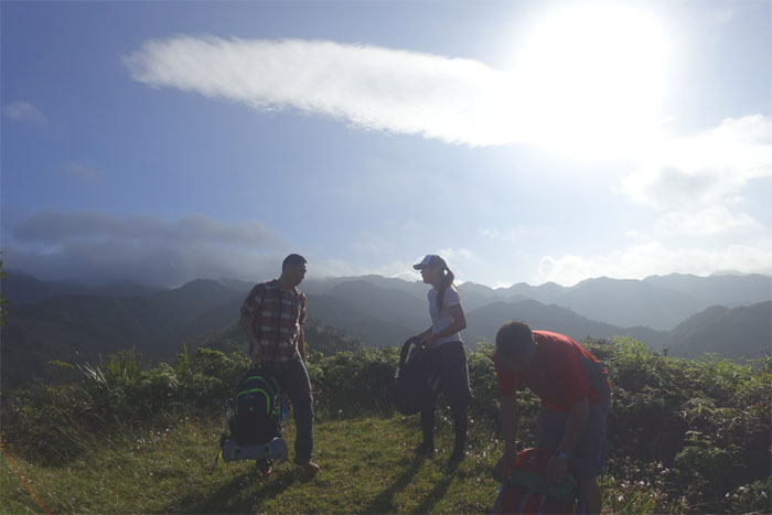
Met up with Chris, Ethan and Shirley at the top of Pacific Palisades to start our hike. I guess when you have to park, you have to park.
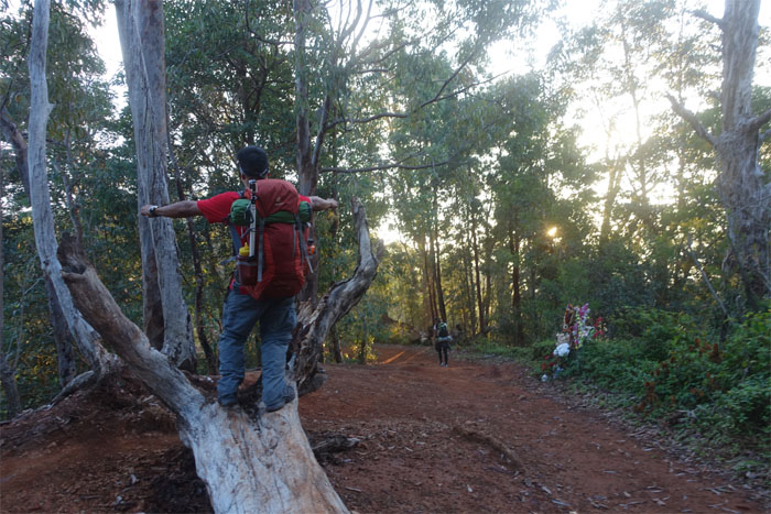
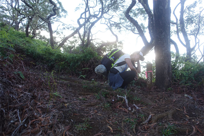
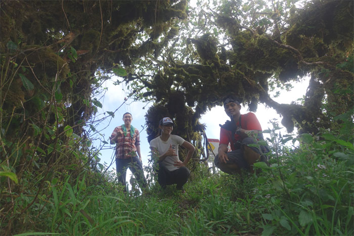
Chris grabbing the tree by its branches.
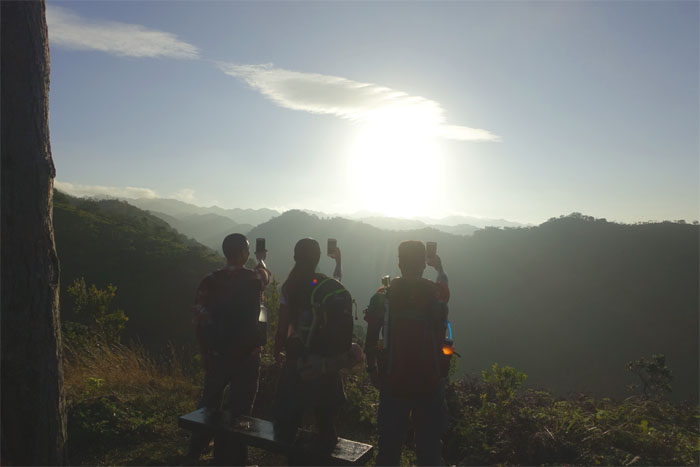
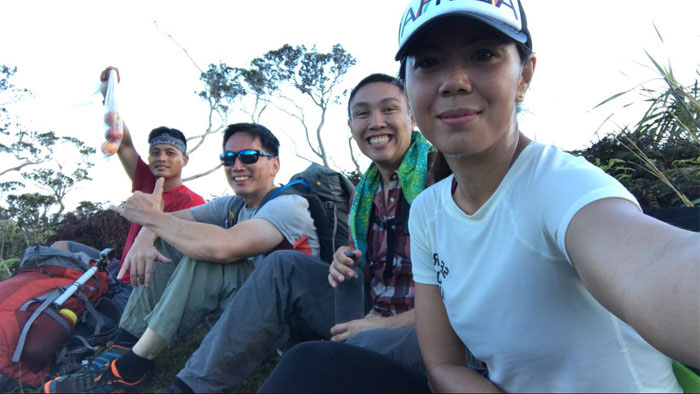
Synchronized sunrise picture taking. Soon to be an Olympic sport.
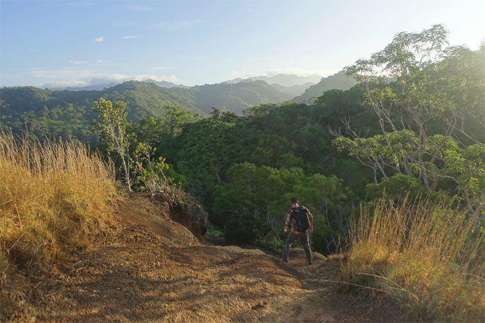
Ethan going down the eroded section of the trail.
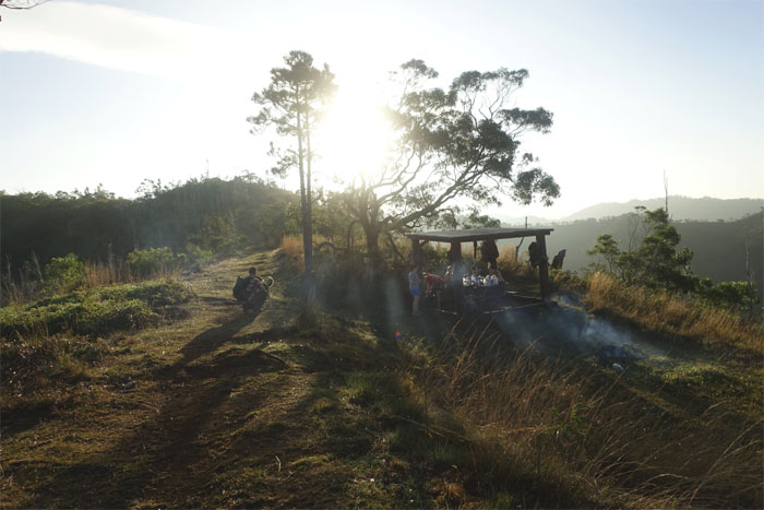
Passing the picnic shelter as mans best friend and the smell of campfire cooking greeted us.
Shirley at the 2.5 mile marker. The day has just started.
Your pack is heavy. Your pack is not heavy.
Apple break. The fruit and phone kind. Photo by Shirley.
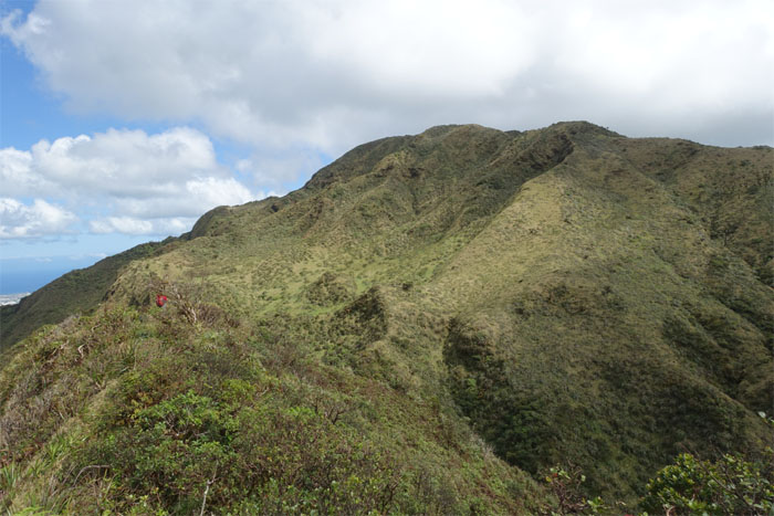
We could soon see the hole for the summit.
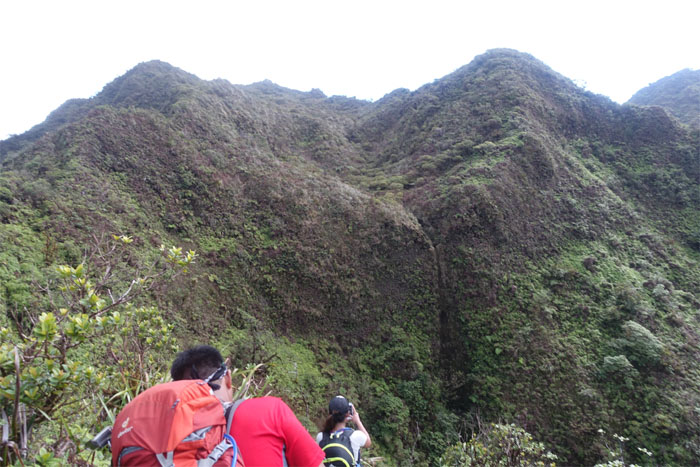
Chris and Shirley passing a dry waterfall chute. Glad the waterworks were turned off today.
The group at the top of the b*tch trail.
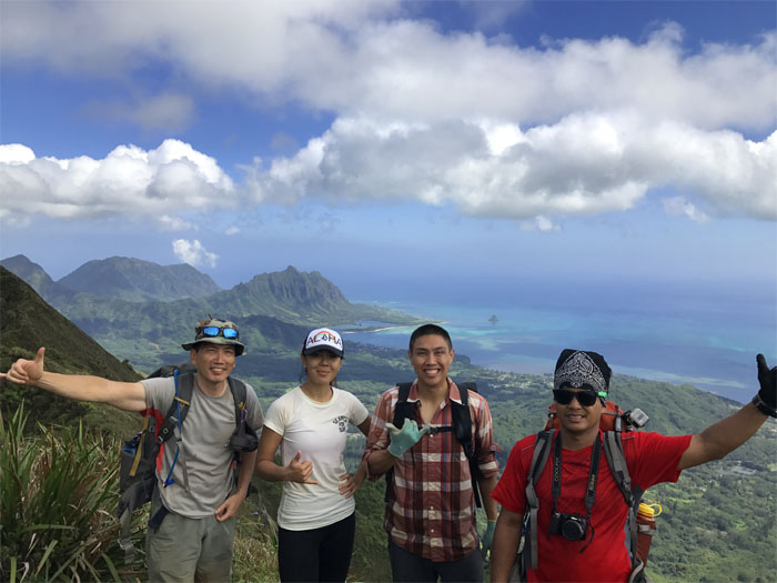
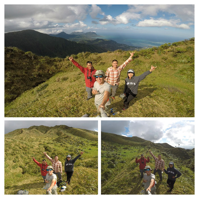
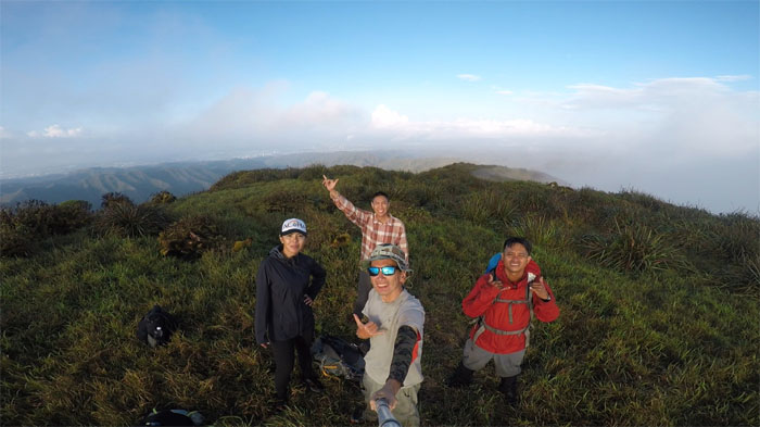
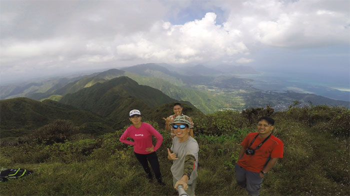
Group photo by Out of My League, left to right: myself, Shirley, Ethan and Chris.
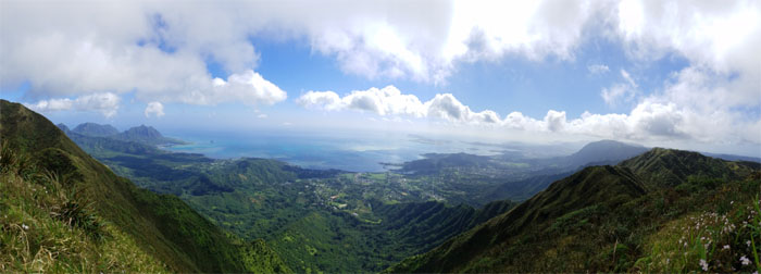
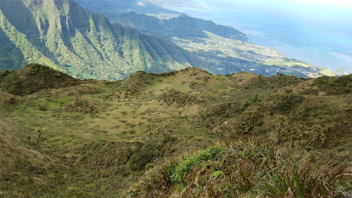
Panaromic view from the 2,660′ summit by Ethan Clavecillas.
Leaving the summit behind as Shirley almost forgot her sweater and somebody’s number.
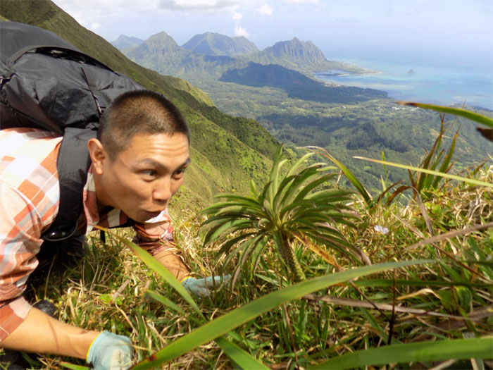
Ethan up close and personal with a Ko’olau Range lobelia. Photo by Chris.
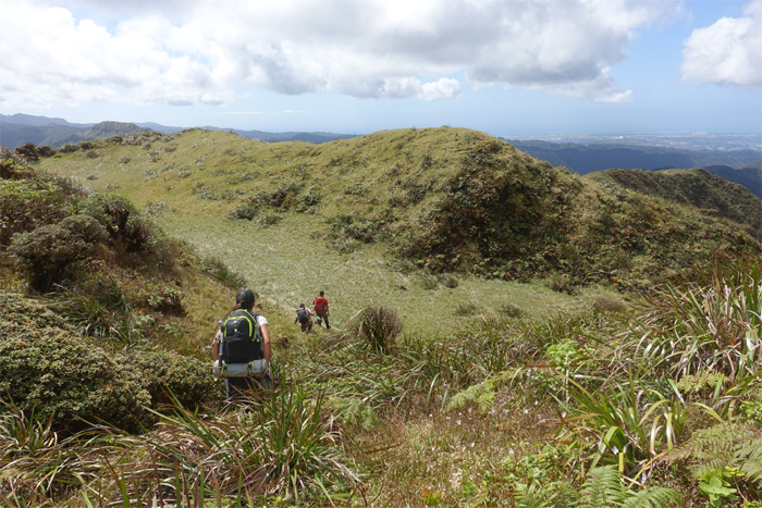
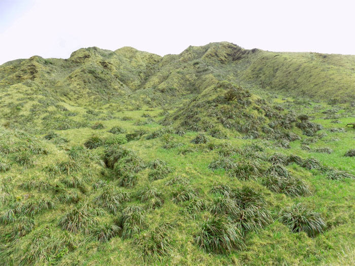
The group dropping down into the wide open grassy field.
Ethan providing assistance in the form of sweater securement. Photo by Chris.
Chris leaving the lush and rolling field. Photo by Ethan Clavecillas.
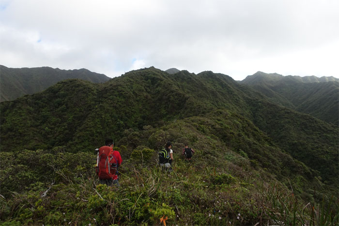
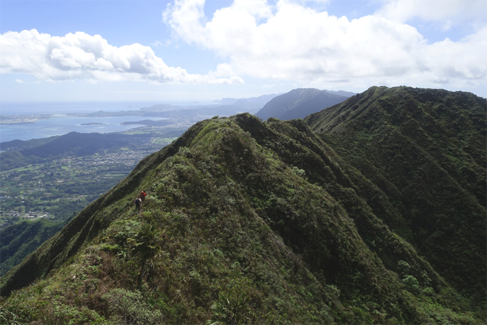
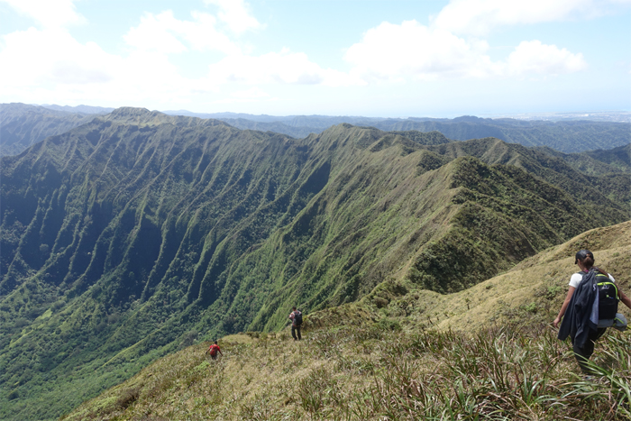
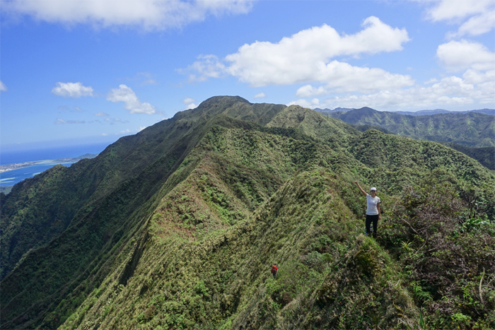
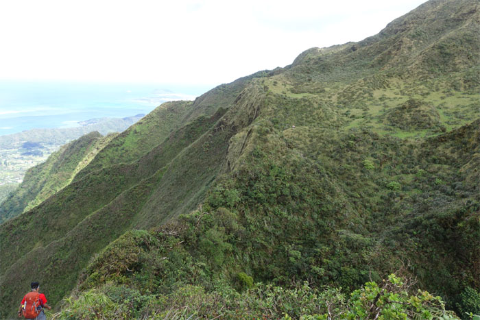
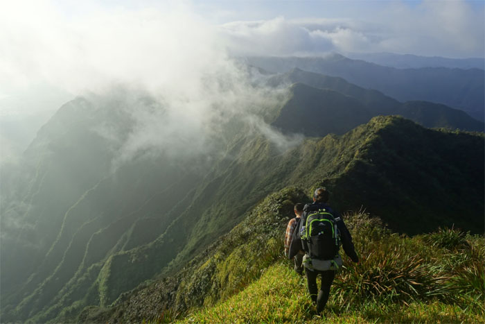
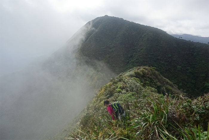
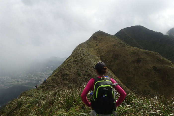
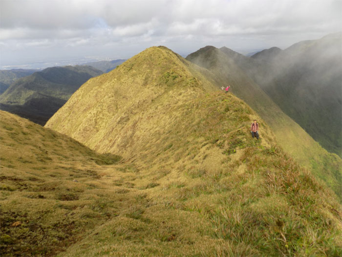
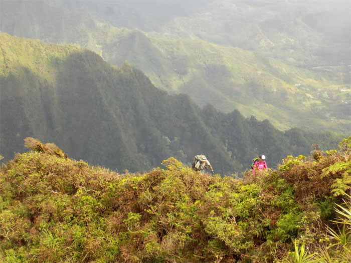
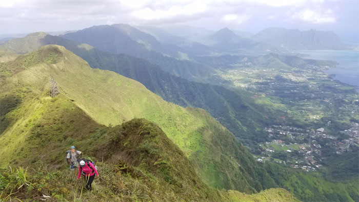
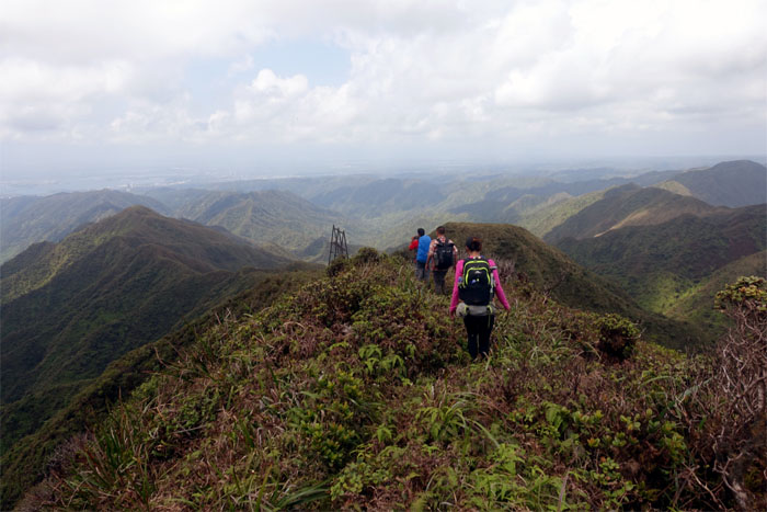
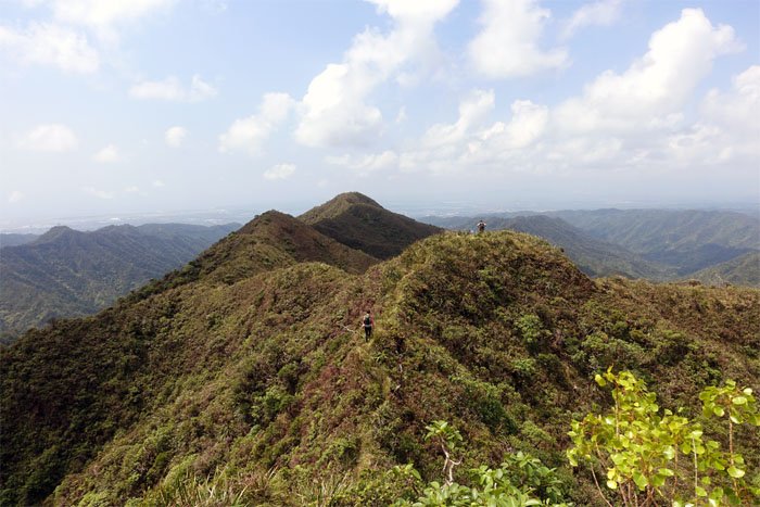
The group traversing the hilly up and downs of the Ko’olau spine.
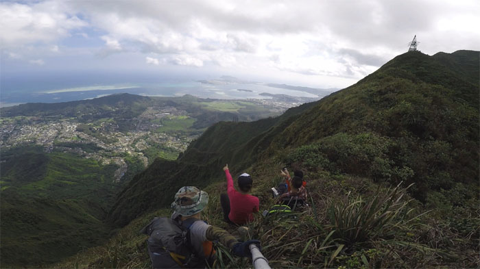
Group photo at the 2,160′ lookout.
What is that smell? When you got to go, you got go.
Leaving the summit and the panoramic views of Waihe’e Valley behind.
Who’s on the summit?
One of the few times that I have witnessed the meadows so clear. Lucky us.
Chris dropping into the meadows.
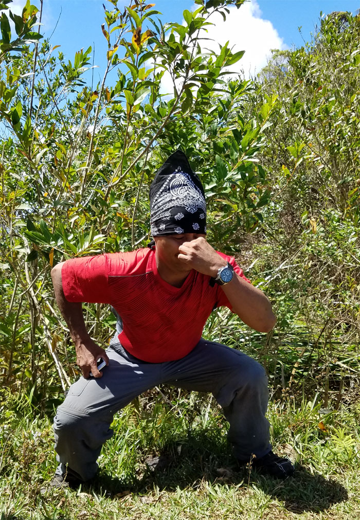
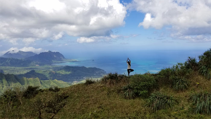
Shirley striking a pose. Yoga pose.
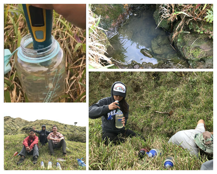
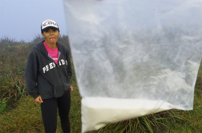
Water hole. Scoop. Strain. Sterilize. Is the light supposed to be on? Try again. Repeat.
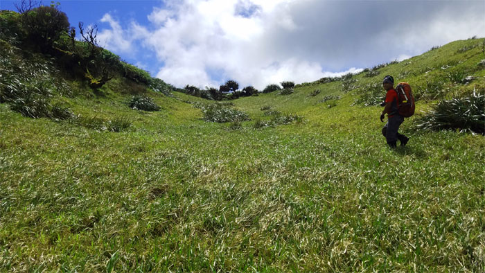
The lush and spongy meadows that have often been described as magical and mystical. Something to be experienced in person. Photo by Chris.
Group photos in the meadows.
Leaving the meadows and hiking up towards our home for the night. Photo by Ethan Clavecillas.
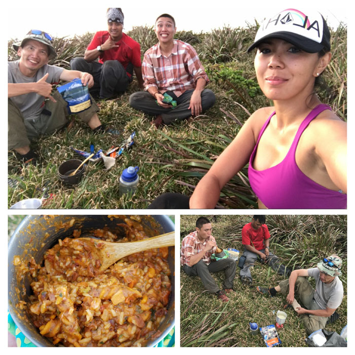
What’s for dinner?
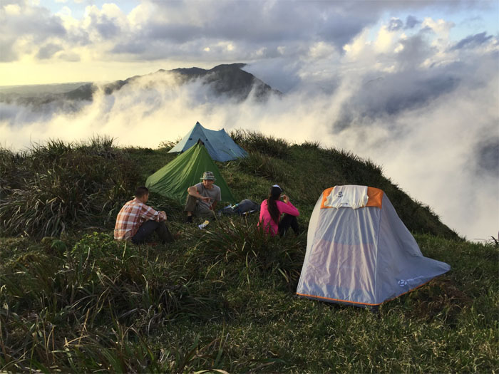
Dining in the clouds. Reservations required. Photo by Chris.
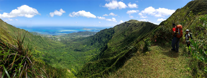
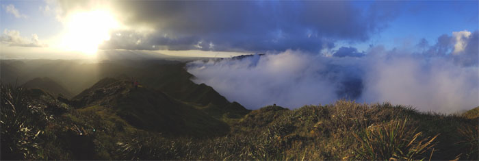
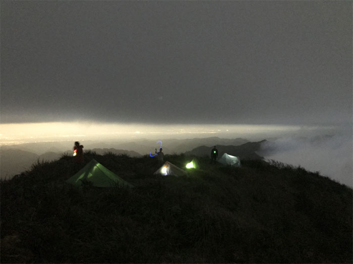
Panoramic view from our campsite.
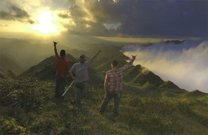
The sun setting in the cloudy mountains. Magical. Photo by Shirley.
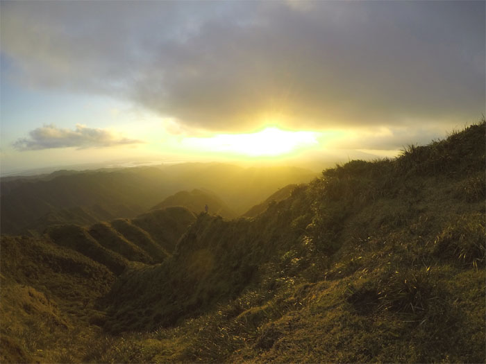
Standing on a spur ridge with the sunrise behind me. Mystical. Photo by Chris.
Turning the lights on in the mountains. Who brought the honey whiskey? Photo by Shirley.
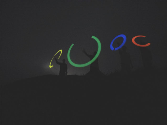
Spinning the glow light fantastic. Without ecstasy.
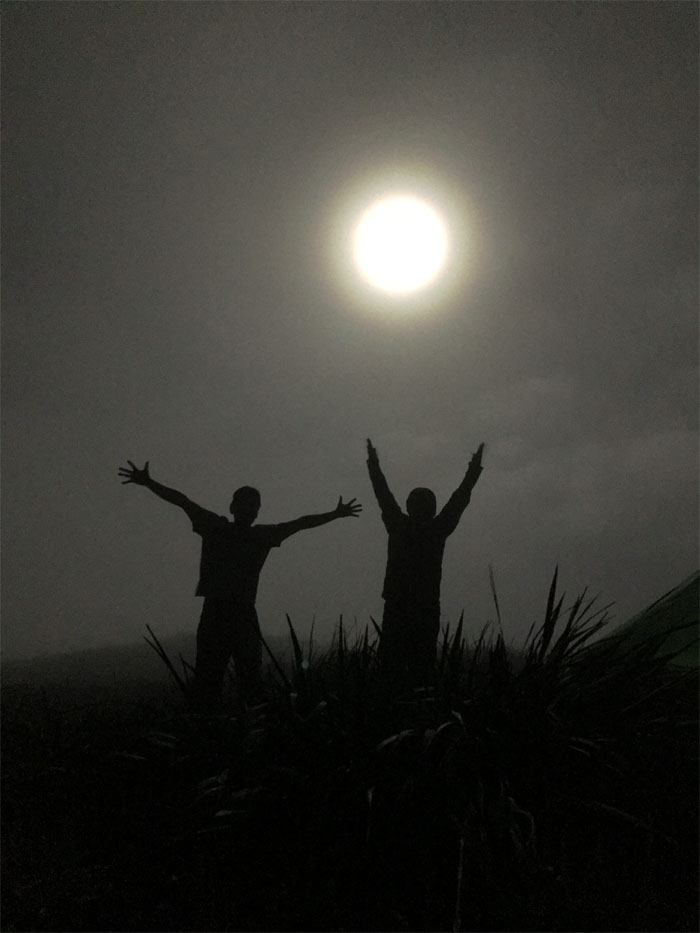
If you can’t catch the moon at night … Photo by Shirley.
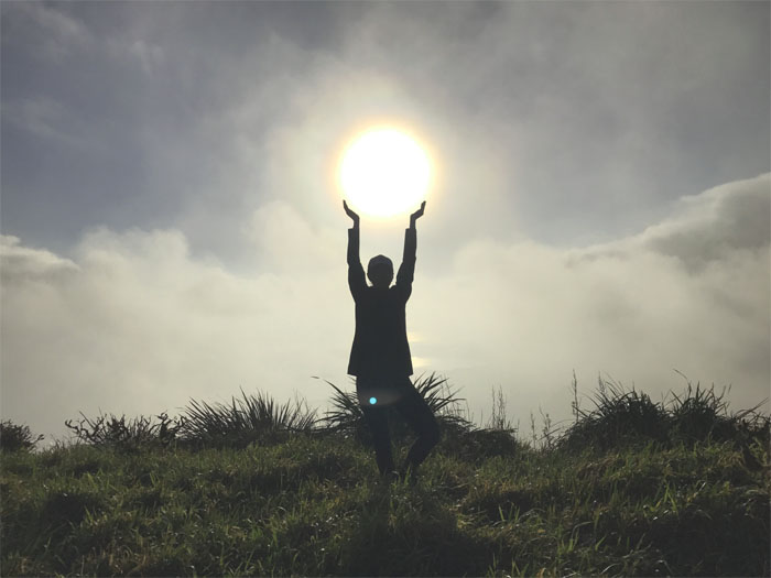
… you can catch the sun at daybreak. Photo by Chris.
Breakfast in a bag. Who needs Starbucks?
Group photo ushering in another beautiful day in the mountains.
Time to hit the mountains.
The clouds started to roll in from the Windward side …
… but were kept at bay by the ridge line.
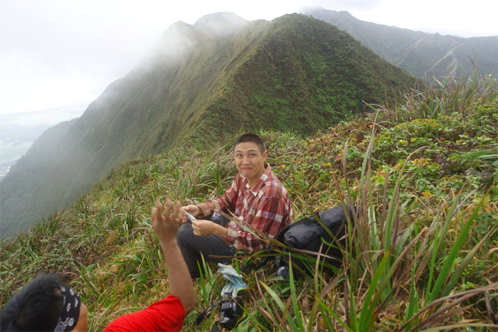
Break time.
Back to the hill climbing.
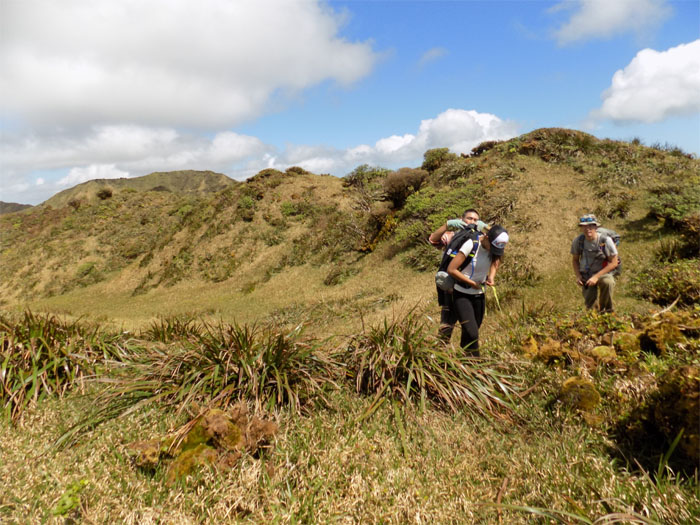
The group passing through another meadow. Photo by Chris.
The clawing vegetation had claimed my left pants leg. Now I didn’t have a hiking pants leg to stand in. The view was blinding. Time to finally retire my hiking pants. Patches and all.
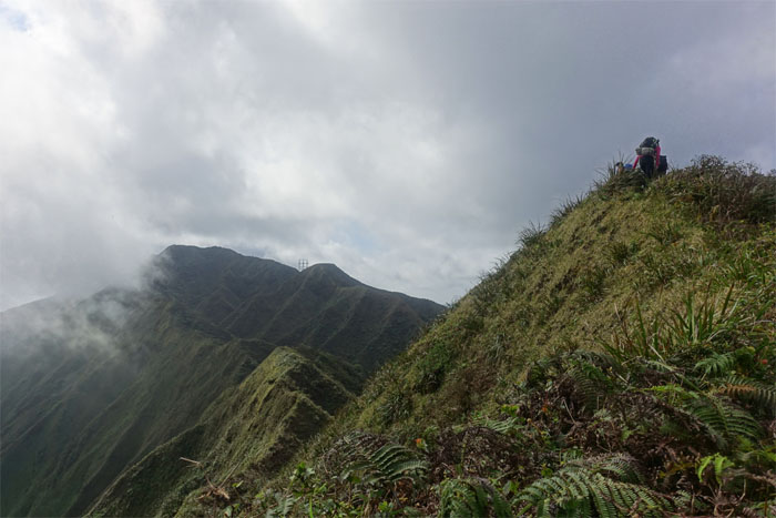
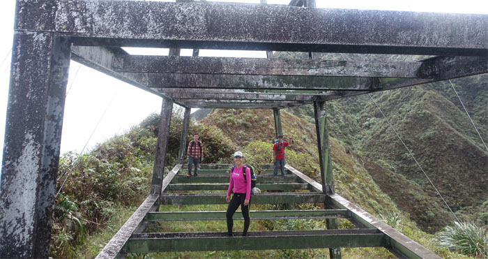
We can see the power lines!
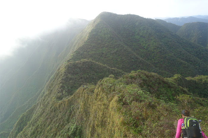
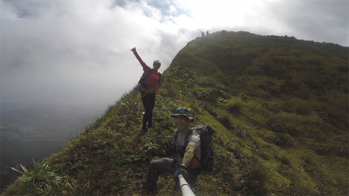
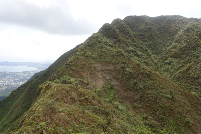
Ridge life. Photo by Chris.
What are we pointing at?
We spotted the yellow bird flying around.
Do the electric slide.
Making the final push up the last hill.
Almost there. Photo by Ethan Clavecillas.
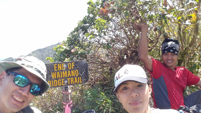
Group photo at the 2,805′ summit with clear views all around.
We left the summit as Shirley left a silent present behind for some other unfortunate hikers.
The heat and the hills.
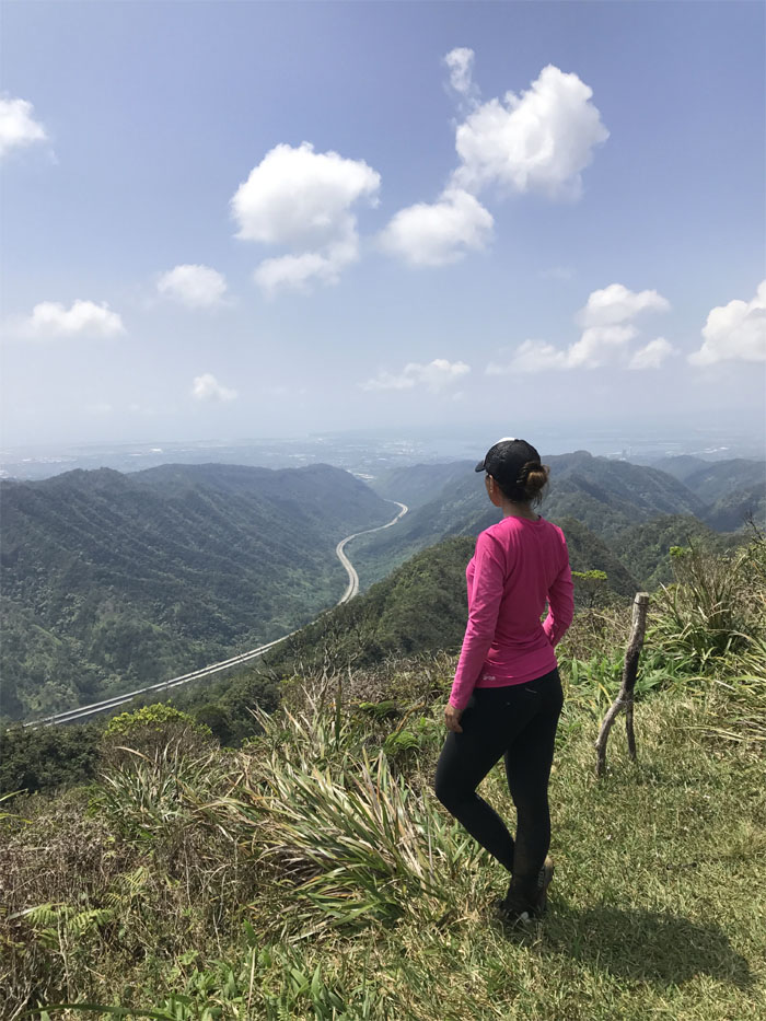
Shirley giving the H3 traffic and trail report.
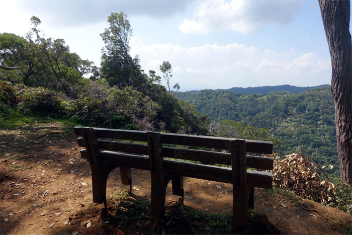
A bench with a valley view.
The heat had really gotten the best of me as I was burning up. As luck would have it, a group was eating at the picnic area. Not only was I thirsty, but I was also a HTMC member. Membership has its rewards. Thanks to Chris’s friend, Joey, who picked us up and dropped us back to our cars.
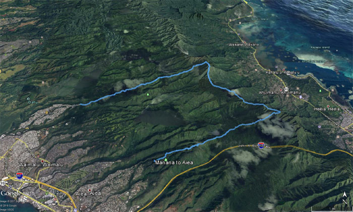
Our fun camping hike covered 15.7 miles through hilly terrain, grassy meadows, verdant vistas with great company. Post hike meal at Alley Restaurant. Their oxtail soup gives Kam Bowl a run for their money.
Note: I have been made aware the some hikers have been using my blog as a hiking guide and getting lost on the trails. Please note that this blog was made to document the hike for the crew(s) that did it. That is why some of my comments will seem to have no relevance or meaning to anybody outside of the crew(s) that hiked that trail. My blog was never meant as a hiking guide, so please do not treat it as such. If you find inspiration and entertainment from these hikes, that is more than enough. If you plan on replicating these hikes, do so in the knowledge that you should do your own research accordingly as trail conditions, access, legalities and so forth are constantly in flux. What was current today is most likely yesterdays news. Please be prepared to accept any risks and responsibilities on your own as you should know your own limitations, experience and abilities before you even set foot on a trail, as even the “simplest” or “easiest” of trails can present potential pitfalls for even the most “experienced” hikers.

{ 4 comments… read them below or add one }
I’m trying to look for official topographic maps and coordinates to hike the Koolau ridge portion from Manana Ridge to Waimano Ridge. I am having a hard time finding any online, do you know of a guidebook that you could recommend?
It’s roughly two hours from Manana to Waimano at an average pace. Sorry I don’t know of any guidebook. The only main tricky part is when you pass Eleao Meadows and start going down the ridge, you have to make sure you stay on the left. If it’s clear, it’s pretty obvious. Sometimes it’s socked in, so you have to make sure you take the right ridge going down. Hope this helps.
Mahalo
Hi Kenji,
Thanks for the info. One last question, since I’m not too familiar with the Hawaiian terrain yet. How narrow are the narrow parts? Is it doable with a 44 L backpack as we have planned on camping (will be lightly packed though)?
Mahalo
Aloha Lai,
Yes it’s doable as long as you watch your step as the trail is littered with branches that can trip you and false holes. Narrow parts typically range about 2-3′. Just take your time and be safe.
Mahalo