
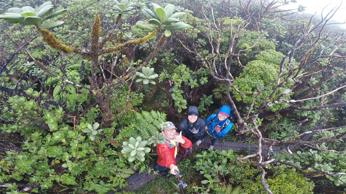
Met up with Lilyn and Marilyn to boldly go to the two highest peaks on the island and down the path where many a (wo)man has gone before. Photo by Lilyn Avendano.
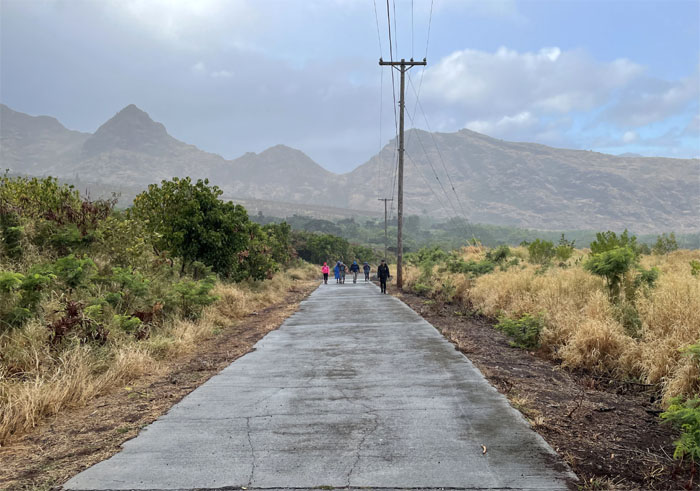
Waianae Valley
Thanks to Leander for dropping us off deep in the valley. We also met up with Dale’s group and trudged up the much maligned service road. Light rain showers kept the temperature down and the grounds saturated.
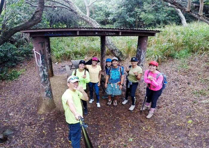
BSA Shelter
All smiles as we started on the trail and took a group photo left to right: myself, Marilyn, Lilyn, Chongsuk, Dale, Almira and Jan.
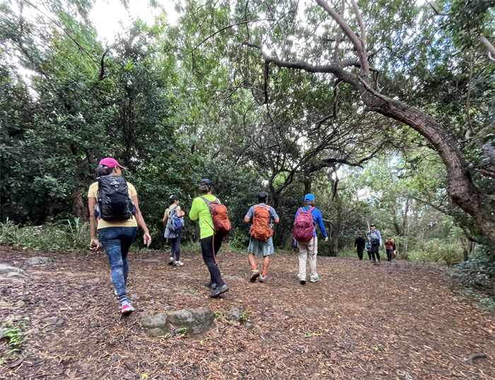
Rush hour
Leaving the shelter, we met up with Kyle’s group. Ka’ala was the place to be on this Kamehameha Day holiday.
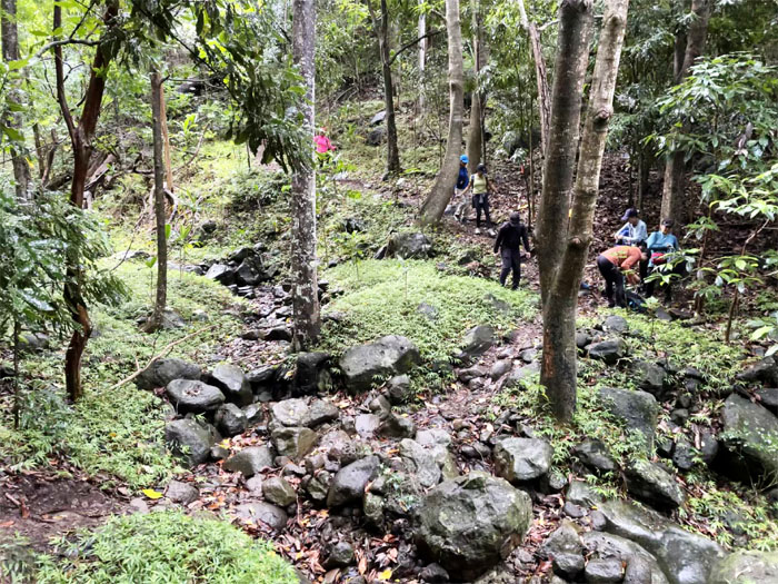
Ka’ala Trail
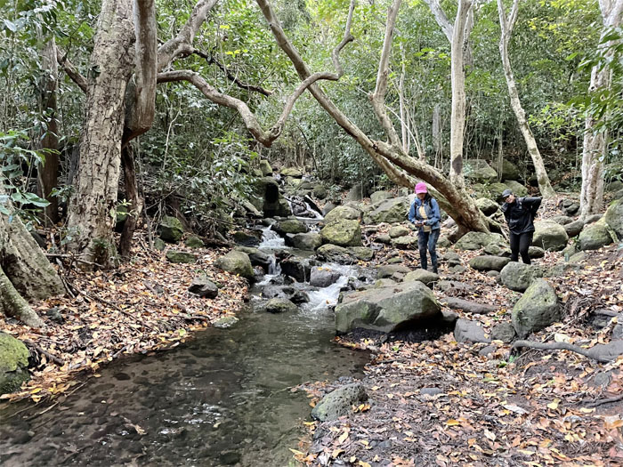
Crossing the dry streambed. The waterfalls were parched and thirsty.
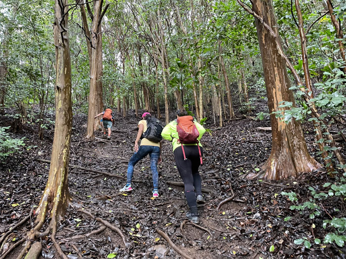
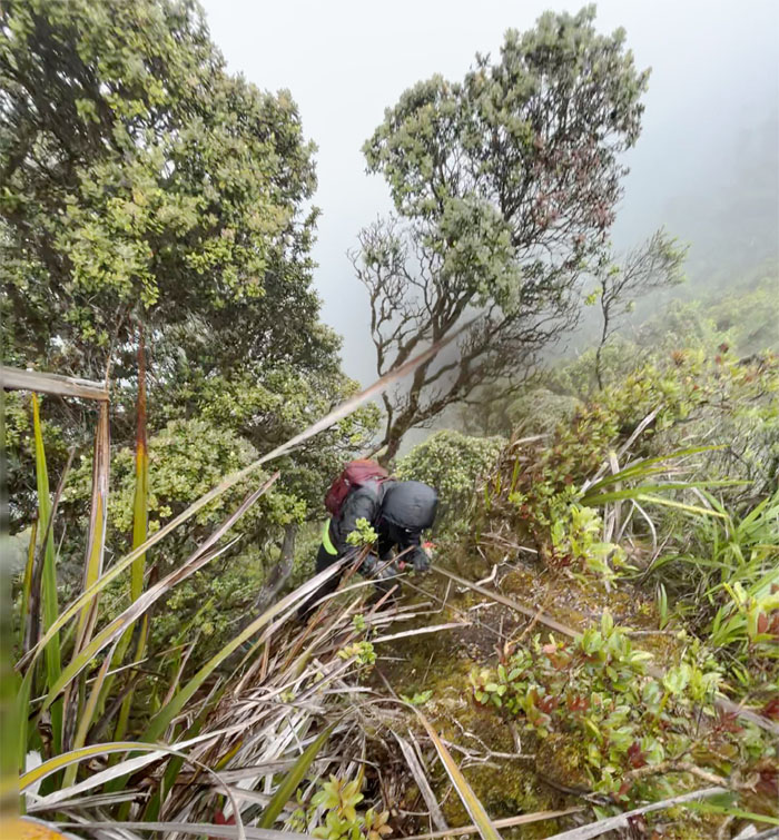
Ka’ala Trail
Pushing up the slippery slope of carpeted wet leaves and rooted ground.
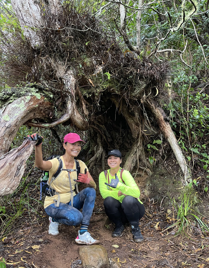
Tree huggers
Seeking shelter or shade. Photo by Dale Yoshizu.
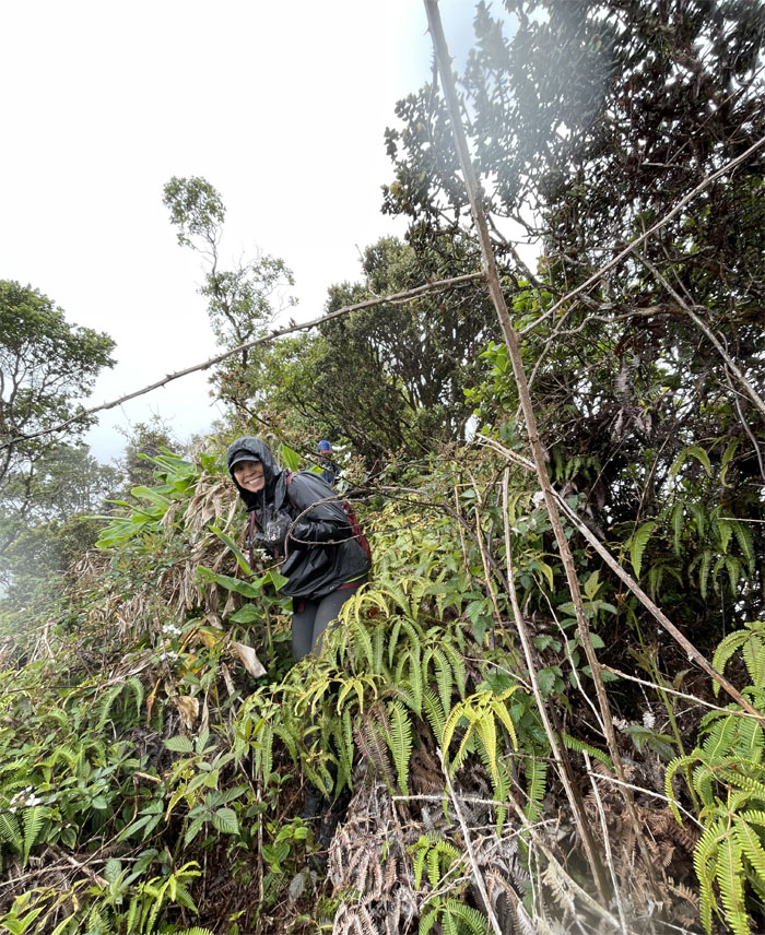
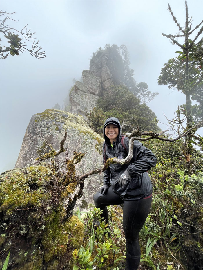
Three Poles
I wouldn’t hike with you guys. Seriously! Other hikers were heard muttering in the drizzling rain “Let’s go hiking they said. They said it would be fun.” Heavy on the sarcasm.
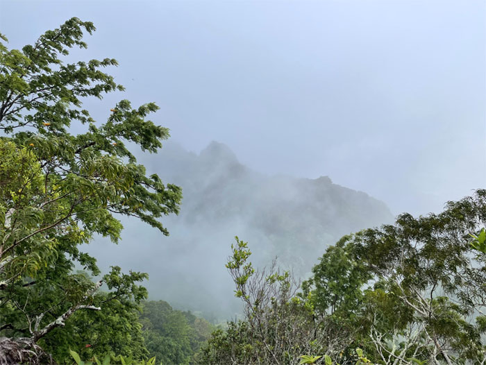
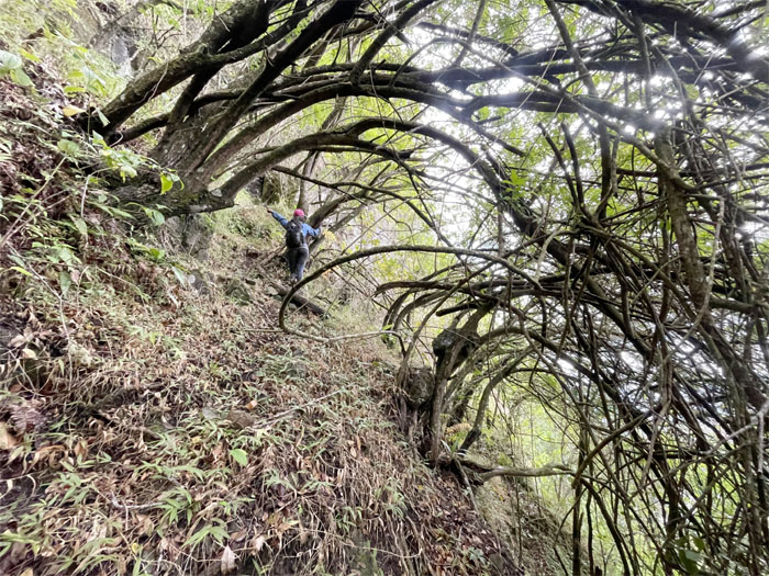
Bolohead Ridge
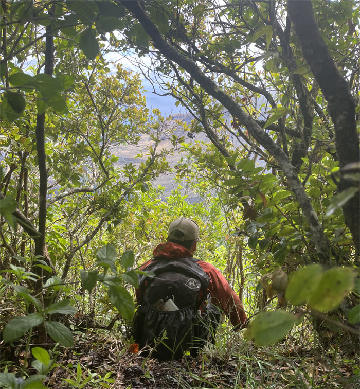
Looking over to the next crumbly ridge that also leads to the highest mountain.
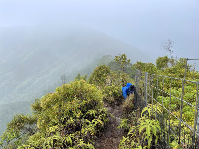
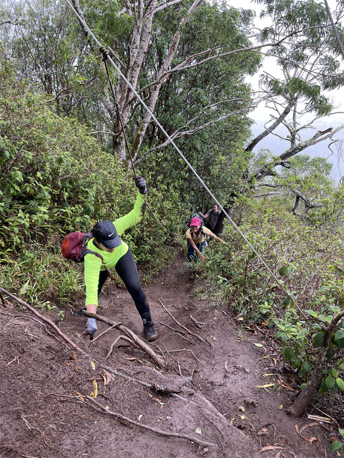
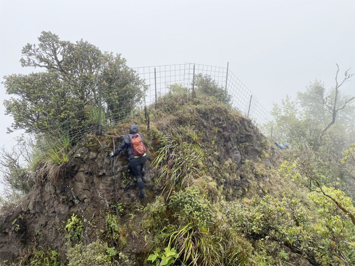
Ka’ala Trail
Pulling ourselves up the fenced ridgeline as the ascent got a tad steeper.
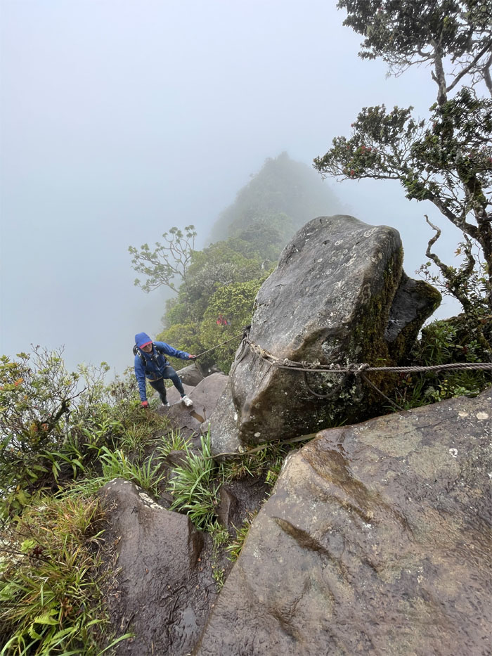
Ka’ala Trail
Climbing our way up and over the somewhat slick boulders.

Ka’ala Trail
Laddering my way up. Photo by Lilyn Avendano.
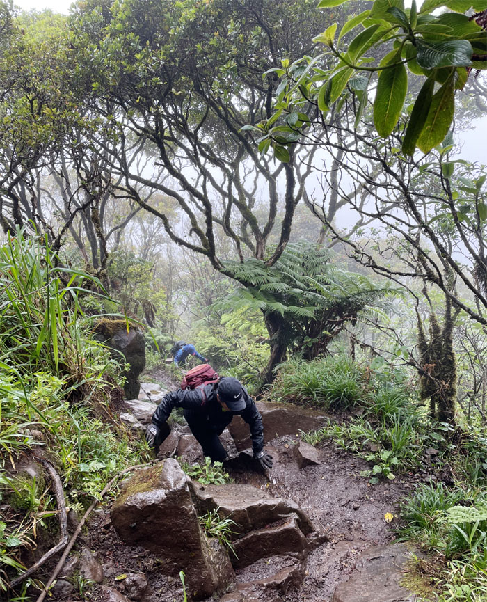
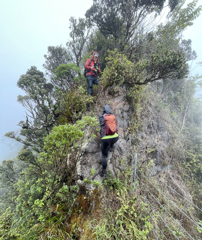
Ka’ala Trail
The girls climbing their way up the rock punctuated trail.
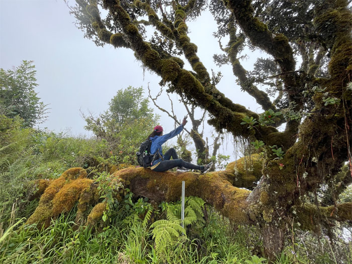
Boardwalk
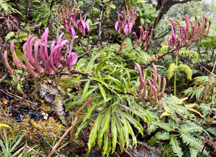
Smack dab in an ancient Hawaiian rain forest that’s perched on top of the 4,025′ flat summit of Ka’ala. The native lobelia plants seemed to be in full bloom.
Ka’ala Bog
Treading our way carefully through what was once a fishpond, according to some historical accounts.
Ka’ala Bog
The 1,100 acres of the Mount Ka’ala Natural Area Reserve encompasses 12 ecosystems, 208 native plant groups and 11 native animal groups. Photo by Lilyn Avendano.
Ka’ala Bog
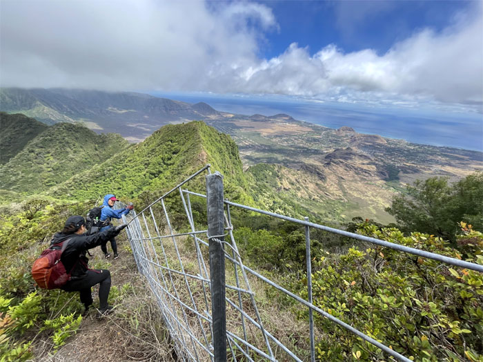
We soon found the fence and followed it out of the mist soaked plateau … Photo by Lilyn Avendano.
Waianae Summit Trail (WST)
… and descended our way down a sliver of a ridge into the clouds.
WST
Marilyn lowering herself down the mossy covered boulders. Photo by Lilyn Avendano.
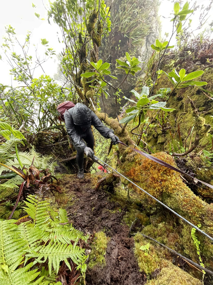
WST
Threading our way carefully through the tangled mess of ropes and webbing.
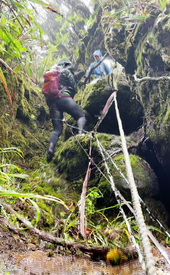
WST
Swinging to the other side of the rock. Photo by Lilyn Avendano.
WST
Marilyn standing against the backdrop of jumbled boulders that we had contoured and climbed our way down. Photo by Lilyn Avendano.
WST
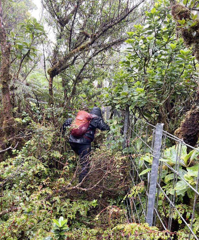
Pushing our way through the thorny overgrowth as we picked up the fence line again. Photo by Marilyn Bermudez.
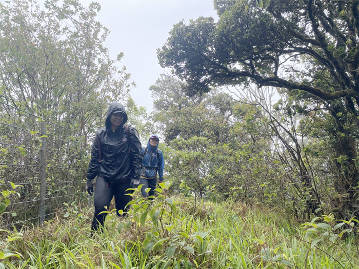
Hobbs Junction
Break time!
WST
Switching from the ridge line to the fence line as we made our way across the rugged terrain. Photo by Lilyn Avendano.
WST
Marilyn climbing down through a break in the fenced ridge line.
WST
Lowering ourselves down to a sliver of a ledge. Photo by Lilyn Avendano.
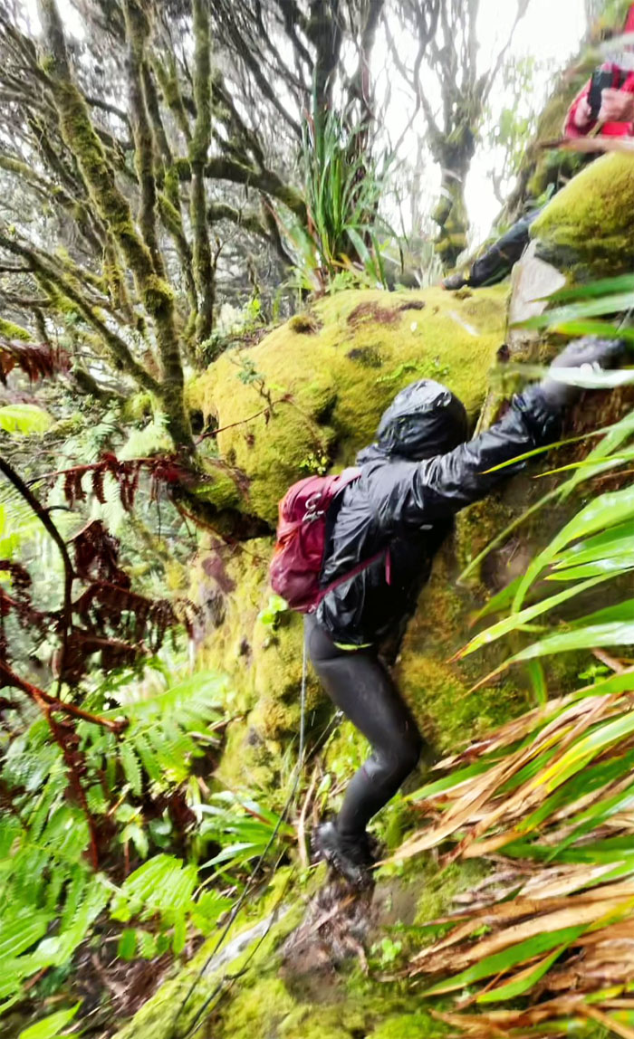
WST
Marilyn climbing up the crumbly rockface. Photo by Lilyn Avendano.
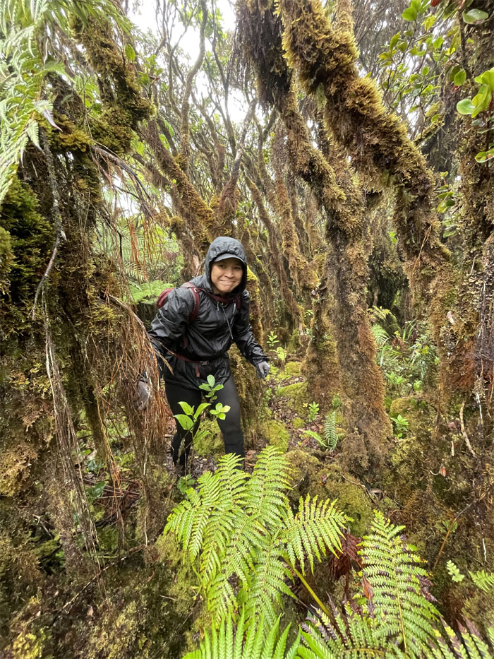
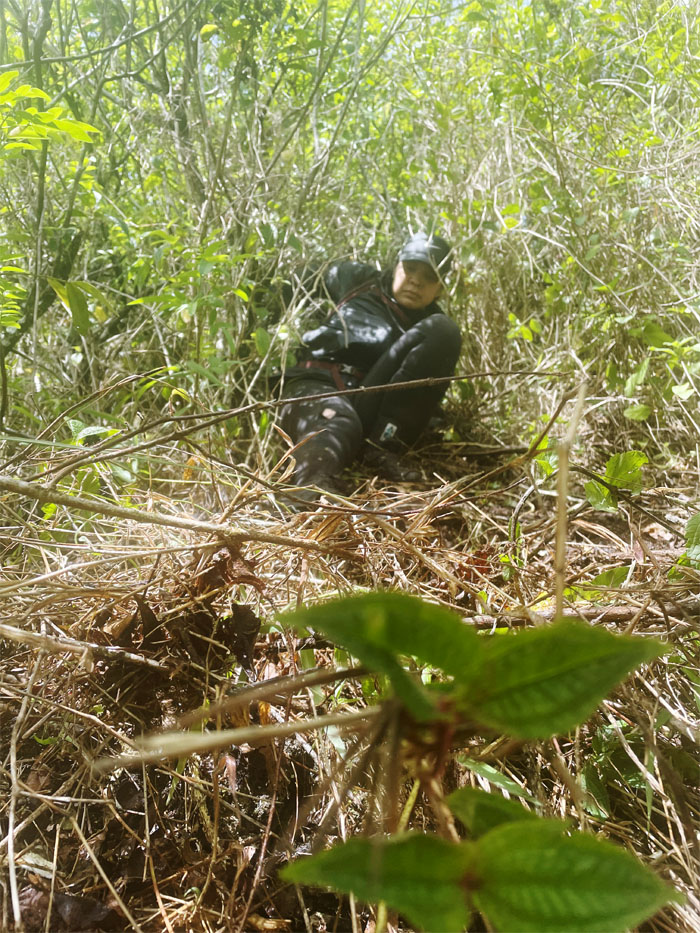
Ms. Lonely
Lilyn standing in for Tessa. Photo by Marilyn Bermudez.
Pu’u Kalena
Group photo at the second highest peak on the island that stands at 3,504′ tall. Robbed of the views again.
WST
Dropping down the ridgeline where the views of Lualualei and Waianae Valleys opened up.
WST
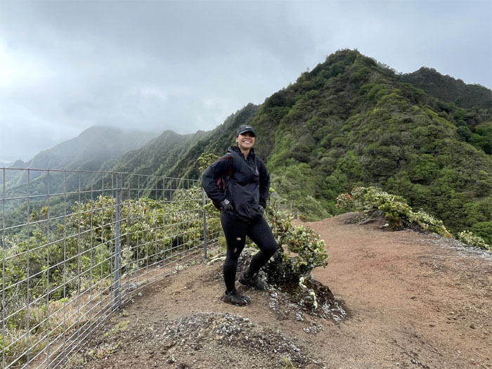
Marilyn standing on one of the few barren spots on the ridgeline. Photo by Lilyn Avendano.
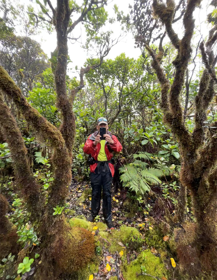
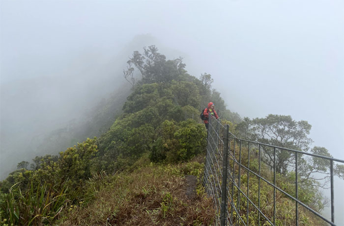
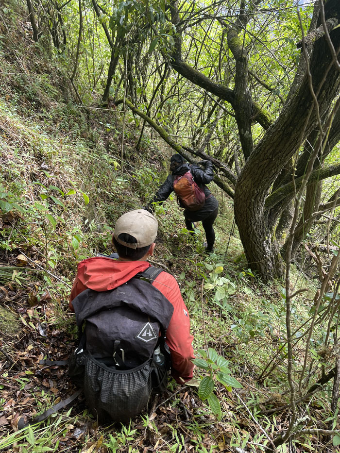
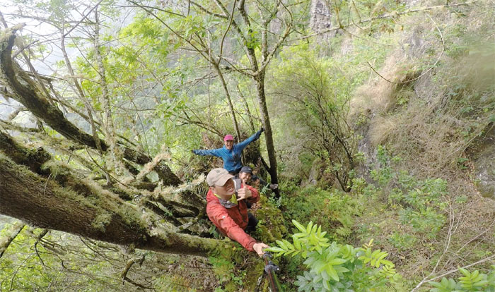
Star Trek
We all had another bite to eat before hopping the fence and looking for a trail down. Any trail. Will the real trail stand up? Photo by Lilyn Avendano.
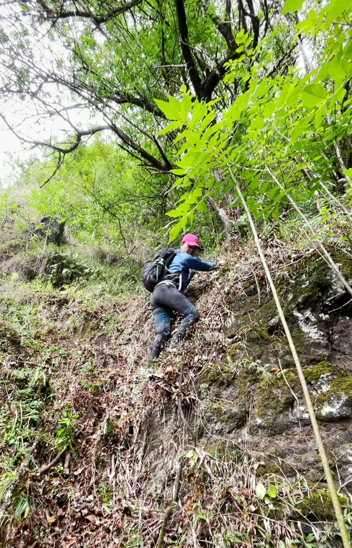
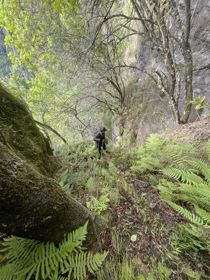
Star Trek
Looking for the next tree or grass to grab.
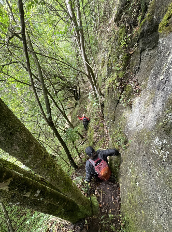
Star Trek
Following the trail that was marked with black webbing. Photo by Lilyn Avendano.
Star Trek
Lilyn coming down a steep section.
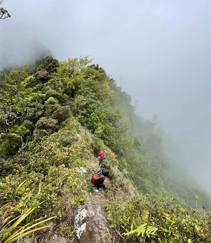
Star Trek
Contouring our way down the ridge. Photo by Lilyn Avendano.
Star Trek
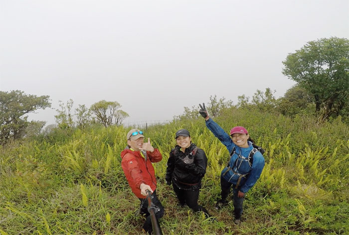
Group photo on the edge where you can’t see the depth for the trees.
Star Trek
Marilyn going down the steep pocket. Photo by Lilyn Avendano.
Star Trek
Walking under the heavily bowed trees.
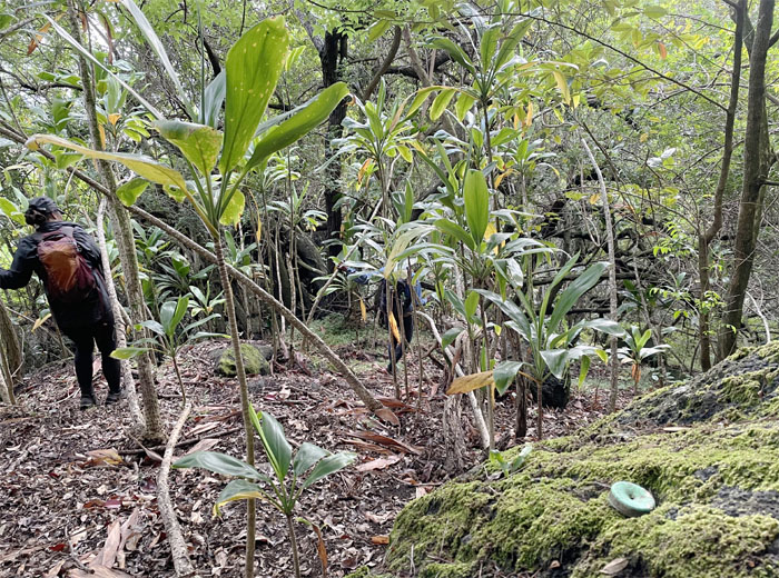
Star Trek
Following the scattered green bottlecaps on our way out.
Star Trek
Crossing Honua Stream? on our way out.
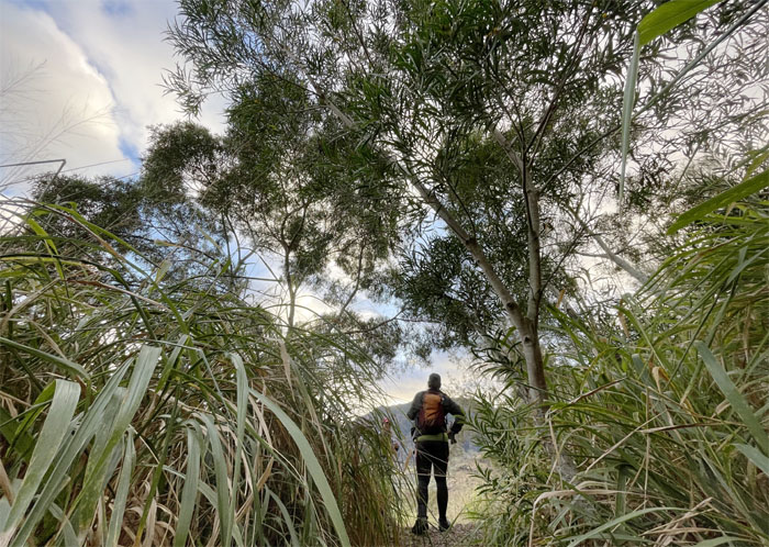
Junction
Climbing up the small hill bordered with irritating California grass where we soon hit the junction shared by Hobbs.
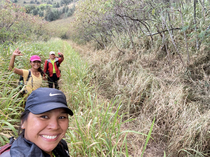
Waianae Valley
Yay, it’s still daylight! Photo by Marilyn Bermudez.
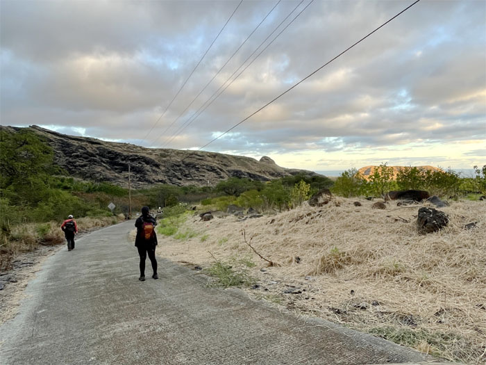
All pau
It was barely a hop, skip , and jump once we hit the service road before we found ourselves back at the parking lot. Mahalo to Leander for picking us back up. Photo by Lilyn Avendano.
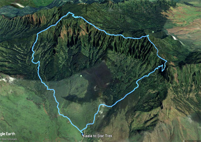
GPS Tracks
Our hike to the roof of the Hawaiian skies and down the trail where no views existed covered a little over seven miles. Post hike meal at Coquito’s. Fun hike with good friends.
Note: I have been made aware that some hikers have been using my blog as a hiking guide and getting lost on the trails. Please note that this blog was made to document the hike for the crew(s) that did it. That is why some of my comments will seem to have no relevance or meaning to anybody outside of the crew(s) that hiked that trail. My blog was never meant as a hiking guide, so please do not treat it as such. If you find inspiration and entertainment from these hikes, that is more than enough. If you plan on replicating these hikes, do so in the knowledge that you should do your own research accordingly as trail conditions, access, legalities and so forth are constantly in flux. What was current today is most likely yesterdays news. Please be prepared to accept any risks and responsibilities on your own as you should know your own limitations, experience and abilities before you even set foot on a trail, as even the “simplest” or “easiest” of trails can present potential pitfalls for even the most “experienced” hikers.
{ 0 comments… add one now }