
I continued my annual tradition of doing a solo post hike after Mount Fuji. My only change was that I wore my La Sportiva shoes, as they were so comfortable. Left the slippers back at the hotel.
Torisawa
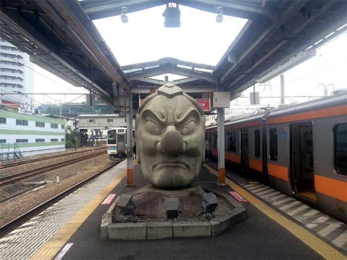
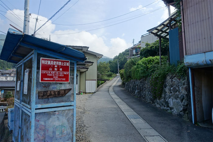
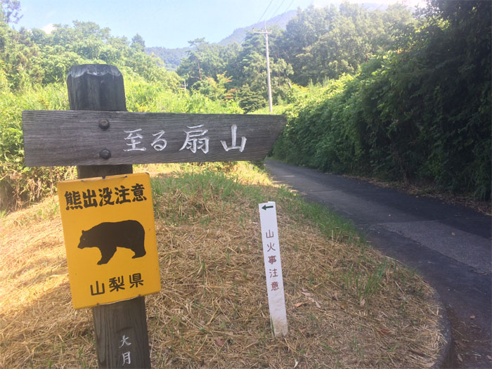
The train ride from passenger packed Shinjuku and the connecting station of Takao took roughly 90 minutes to Torisawa. I walked out of the station and was pleasantly surprised to find Ougiyama trail signs across the street. No bushwhacking on this hike. Just follow the road.
Torisawa
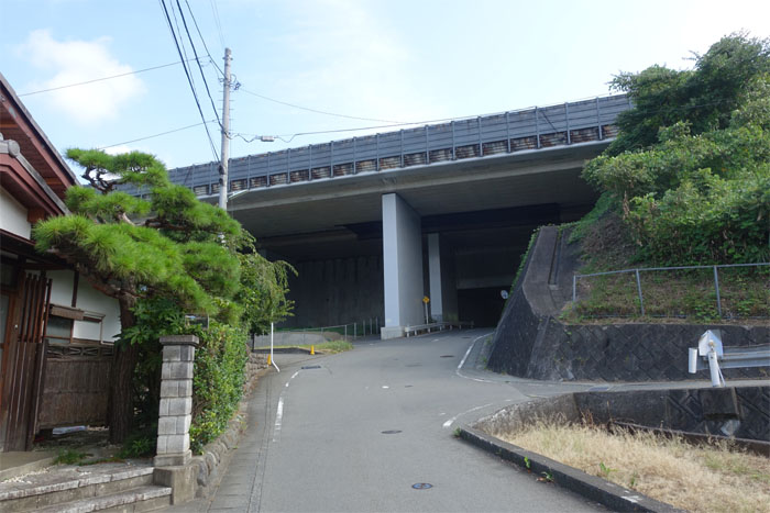
The road took me under the Chuo Expressway, which is a major road artery connecting Tokyo and Nagoya.
Torisawa
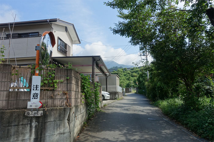
Trail signs intermittently posted in the densely packed residential area kept me from straying into somebodys bonsai garden.
Torisawa
Hmmm, guns are prohibited in hunting area. Just have to watch out for those samurai swords. What do they hunt around here?
Torisawa
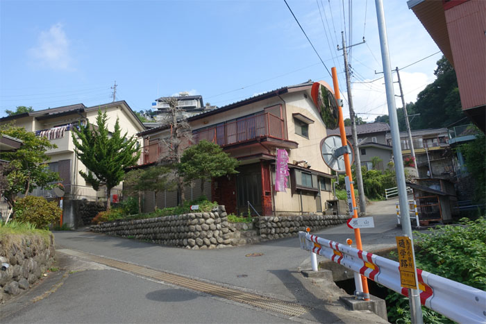
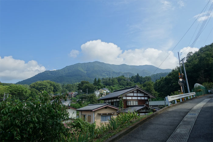
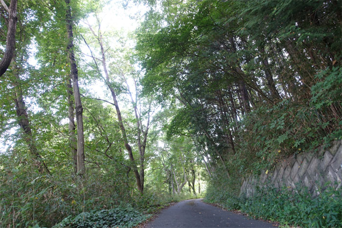
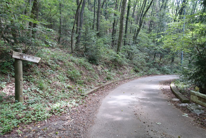
Gaining elevation. Still on the road.
Torisawa
The helpful trail signs disappeared and since I had passed a junction earlier, I stopped an old man out for a walk to ask in my mangled Japanese if I was on the right road. Hai (Yes).
Torisawa
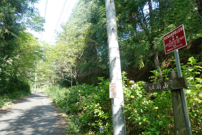
The trail signs popped up again.
Torisawa
Beware of bears! Is this what the hunting signs were talking about? Great. Here I am without any bear bells or bear spray. All by myself. Bear bait.
Torisawa
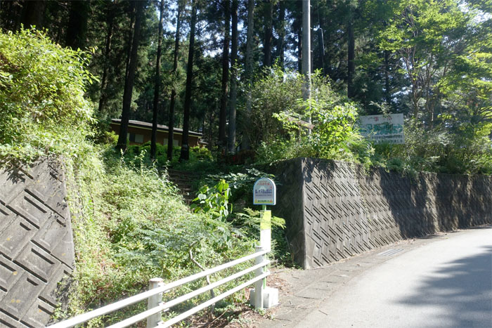
The road bended and soon shadowed a golf course. Fah!
Trailhead
I made it to the bus stop aka trailhead, roughly 50 minutes after leaving the train station, without running into any bears. Safe and sound. Wait, don’t bears live in the woods? Or was that sh*t in the woods?
Ougiyama Trail
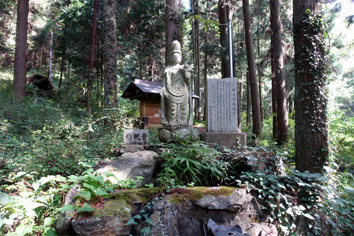
A Buddhist statue at the trailhead was dedicated to all the hikers that had unfortunate encounters with bears. Actually, it was of Kannon, goddess of mercy. Erected to honor the residents and hikers that died in 1907 when part of this mountain collapsed. Met a couple also hiking the trail.
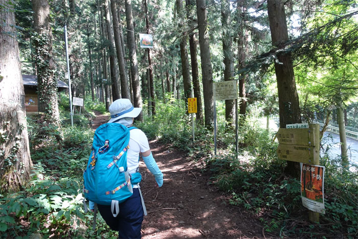
Ougiyama Trail
A lot of signs to digest. Let’s see … 1 hour 50 minutes to the summit … Prevent forest fires …. Watch out for bears … What’s that old joke? You don’t have to be the fastest runner. Just don’t be the slowest one.
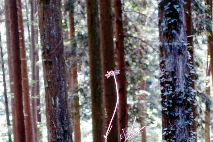
Tombo
A dragonfly at rest. The predator insect is the oldest known design used on pottery in Japan and called the victory insect by the ancient samurai due to the fact that the insects don’t fly backwards and for their hunting prowess.
Ougiyama Trail
I exchanged “konnichwa” greetings with the couple and passed them on the clearly marked trail.
Ougiyama Trail
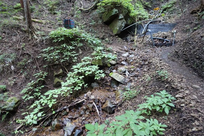
Crossing this bridge over a trickling stream that lead to …
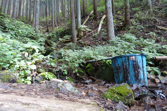
Water hole
… a blue bucket of water. Potable?
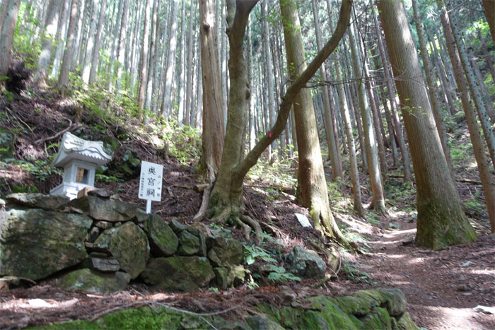
Mountain Spirit
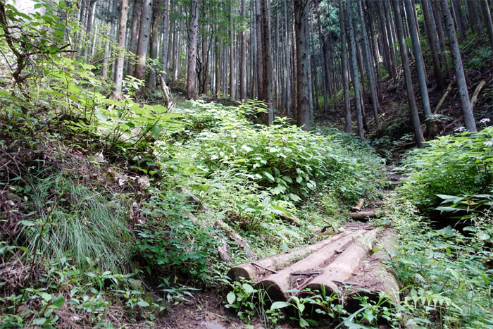
The trail lazily switch backed up the mountain, passing a small shrine.
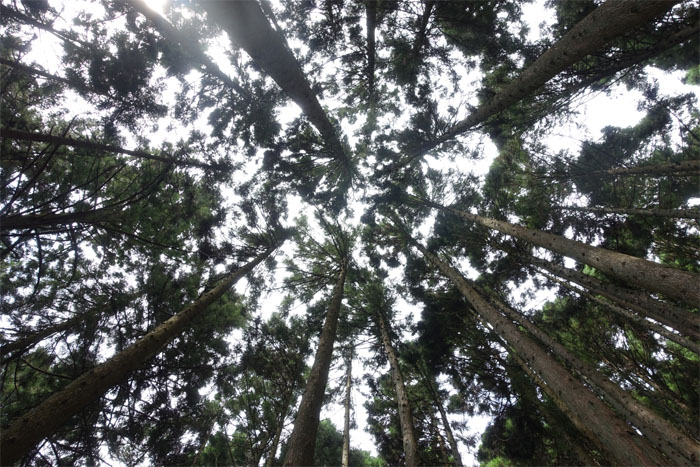
Ougiyama Trail
The heat and humidity were off the charts. Soaked in sweat.
Ougiyama Trail
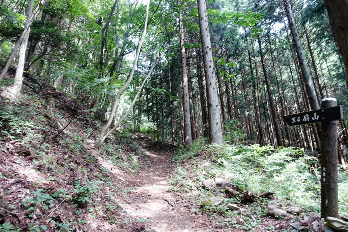
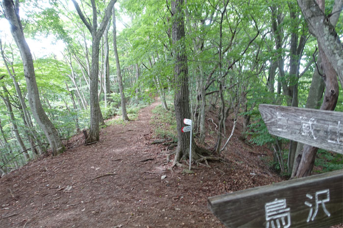
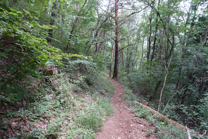
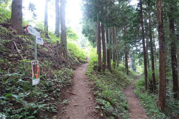
The trail took on a slightly steeper pitch towards the top of the ridgeline, where I turned right for the summit.
Ougiyama Trail
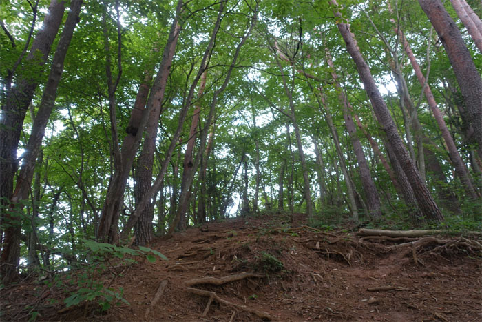
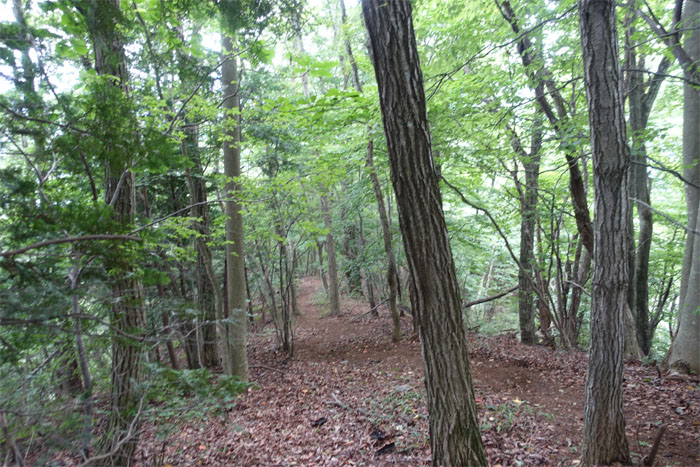
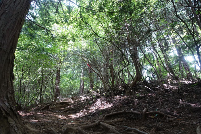
Hiking up the pitched and rooted trail …
Ougiyama Trail
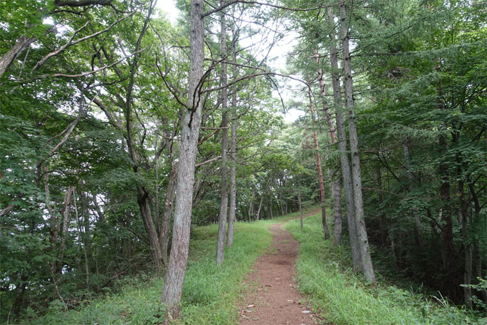
… which soon leveled off …
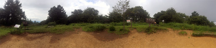
Mount Ouyigama
… and lead to this panoramic view of the 3,733′ summit. A sign said this was #6 of 12 nice views. No view of Mount Fuji. What nice view?
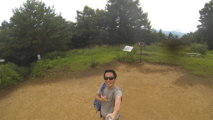
Mount Ouyigama
Another hiker soon joined me at the summit. He promptly took off his sweat soaked shirt. Reminded me to replace my sweat with sweat. Pocari Sweat.
Ougiyama Trail
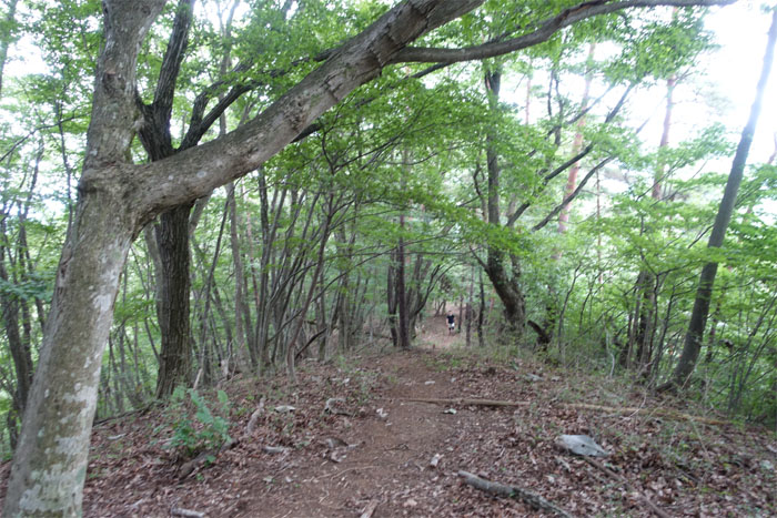
I headed back down the ridgeline and met up with the couple that I had passed earlier coming up. Konnichiwa.
Trail
The trail dropped in elevation as I went down into the saddle between the mountains.
Trail
Noticed somebody coming up the trail. Konnichwa. Just glad it wasn’t a bear.
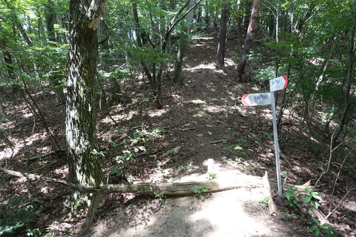
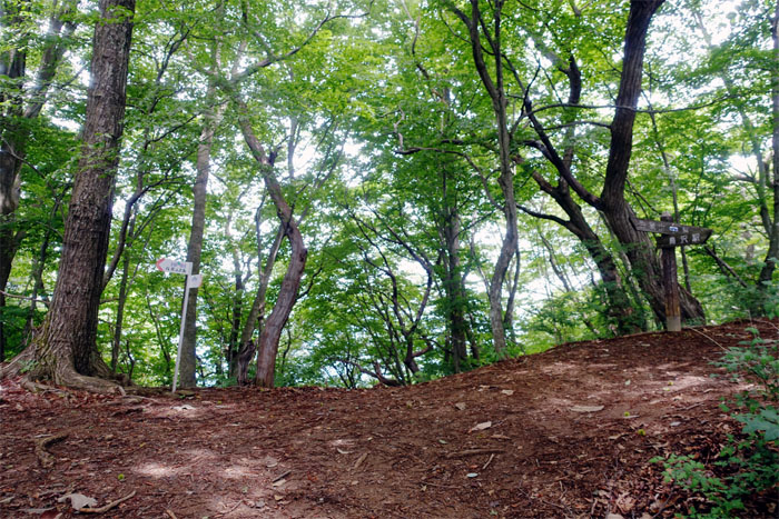
Junction
The trail contoured to the left …
Trail
… and started to pick up the lost elevation.
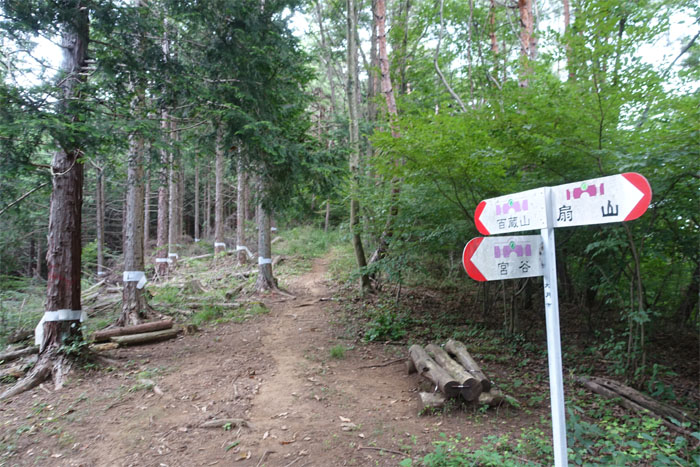
Junction
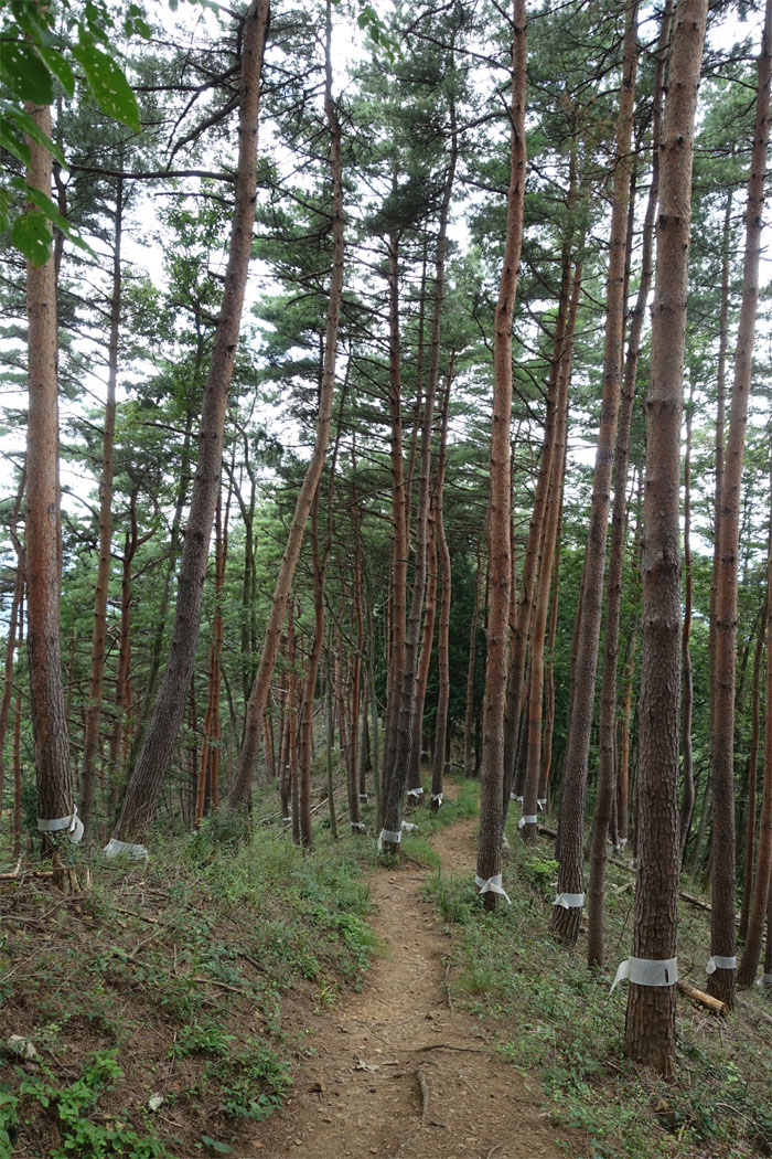
I continued straight on the trail for Momokura. Noticed that a lot of trees were banded with white ribbons. Shinto purification? Tree cutting?
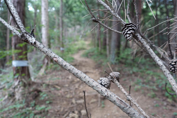
Pine cones
Open for ovulation.
Trail
The trail became steeper as I approached the summit.
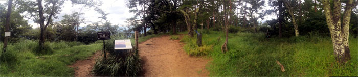
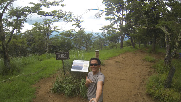
Mount Momokura
Panoramic view of the 3,290′ summit. A sign said this was #7 of 12 nice views. No view of Mount Fuji. Again. What nice view?
Mount Momokura
The summit had a nice picnic bench with tree blocked views of the surrounding mountains.
Trail
Making my way down the corridor of white banded trees.
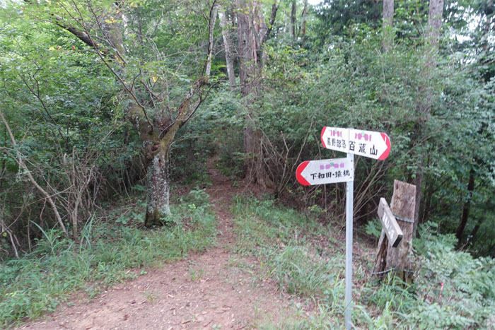
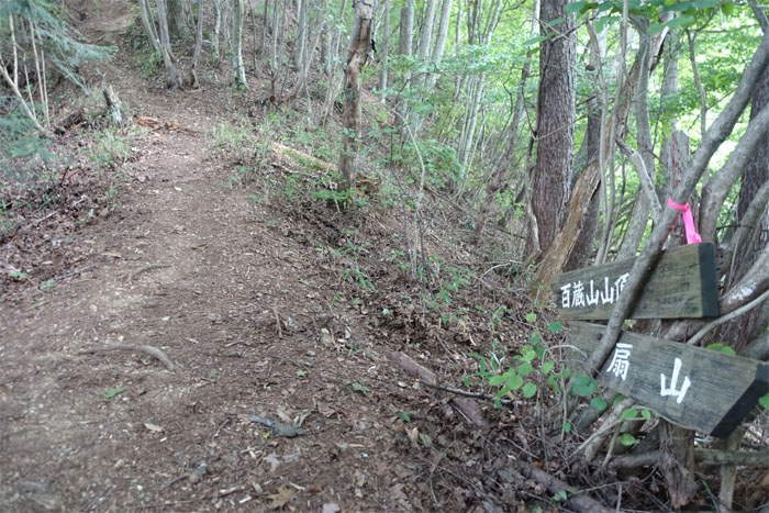
Junction
I made a left at the junction that would take me down to Saruhashi station. No time to check out the other 10 nice views.
Trail
The trail gradually wound its way down the mountain and took me to …
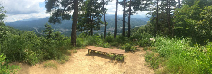
Scenic point
… a bench with a view of Otsuki City.
Trail
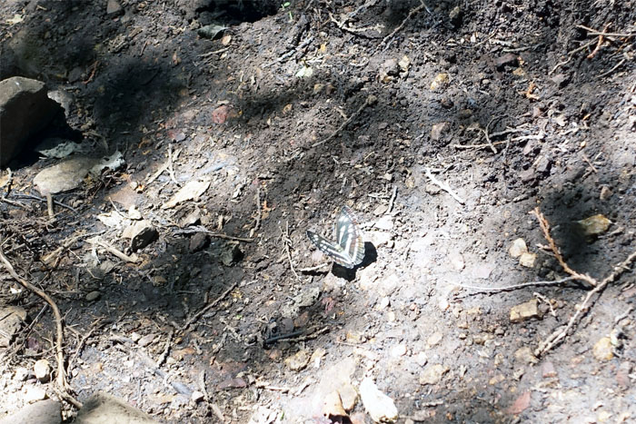
Butterfly blocking the trail.

Trail
All downhill from here.
Trail
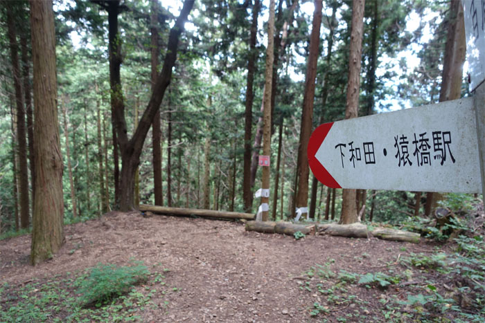
Google translation = Shimowada Saruhashi Eki = Going down the right way.
Water hole
Thirsty? Got steripen?
Trail
I could see the light at the end of the trail.
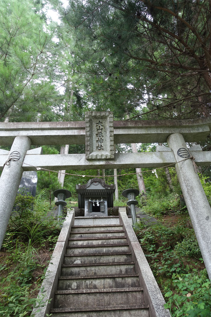
Mountain Shrine
The trail ended at a small parking lot and another small shrine.

Road
The long road downhill.
Mountain Shrine
Knock. Knock. Nobody home. No time for mountain mediation.
Road
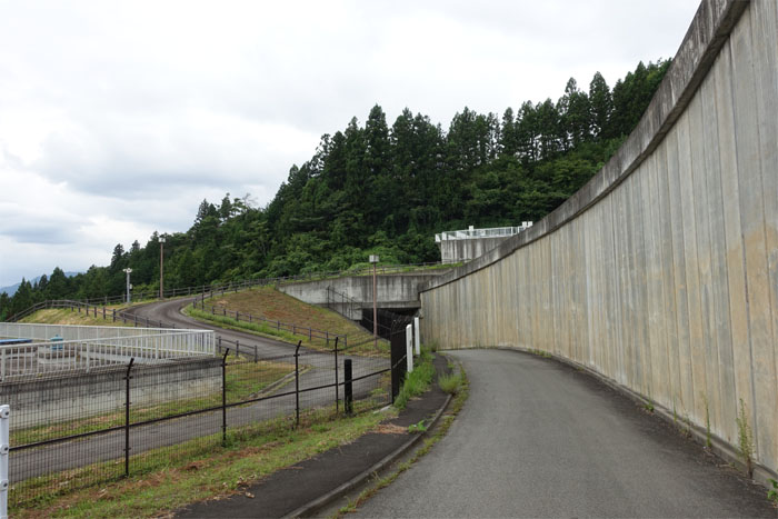
The road took me underneath a bridge and out to …
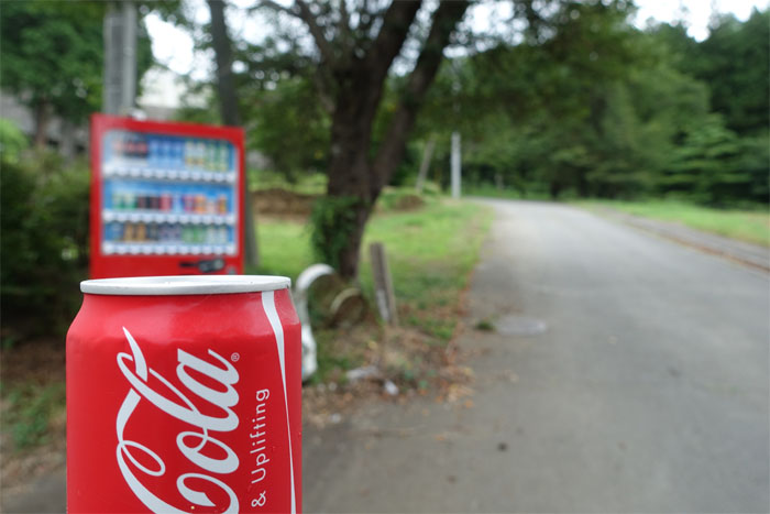
Road
… ice cold refreshment. Replaced my sweat with sugared caffeinated water. Love the land of vending machines.
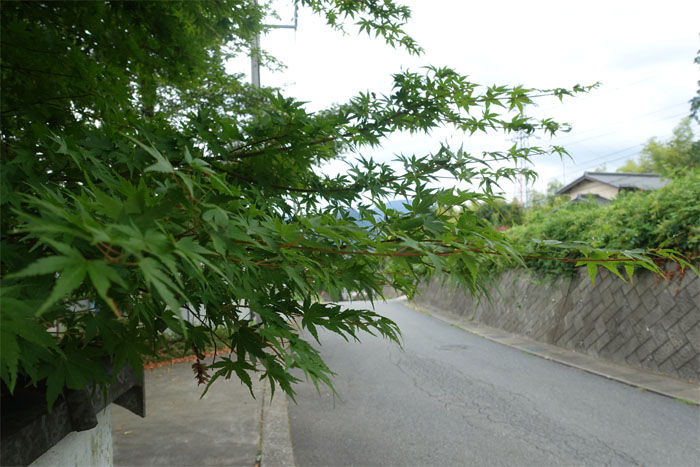
Momiji Tree
It would be nice to come back for the “fall” showing.
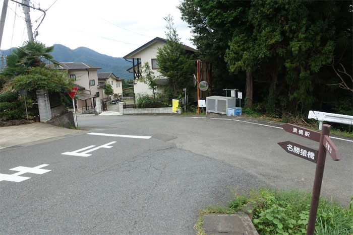
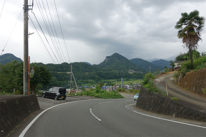
Road
Back in the ‘hood. Signs keeping me straight.
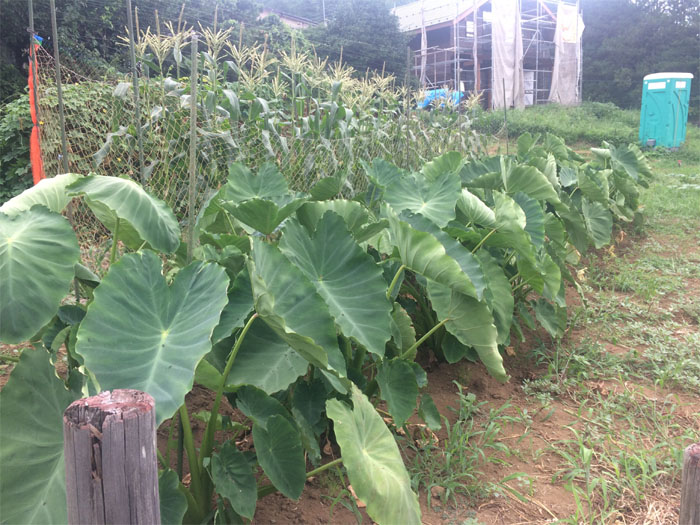
Satoimo
I was looking for the Hawaiian Plate Lunch Wagon.
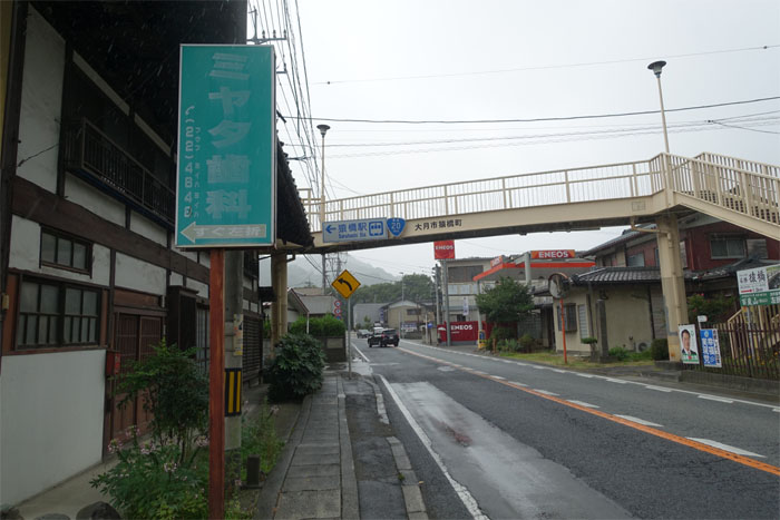
Road
Where are the sidewalks?
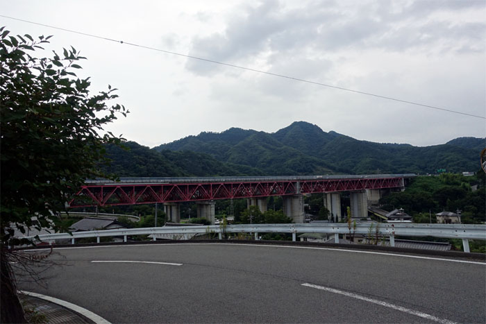
Road
Almost there. My ride home was on the other side of the elevated bridge.
All pau
I made it to the cover of the Saruhashi train station just as the rain picked up in intensity and duration.
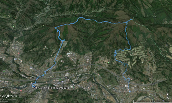
GPS Tracks
My two mountains for the price of one hike covered 9.33 miles with no bear sightings. Post hike meal at Hidakaya. A big bowl of hot and tasty ramen for only 390 yen ($3.90). You can’t beat the price!
{ 4 comments… read them below or add one }
Nice dude, I am going to get over to Japan this coming year, I read about the Japanese Alps area that looks like some awesome mountain trekking.
Aloha Stuart,
Thanks! You should come with us in July when we go back for the fifth time. Yeah there are a lot of mountains to hike over there.
Mahalo
Hi Kenji,
Been a long time follower of your blog. I’m from Hawaii, but have been living in Japan for Tokyo for the past 3 years.
I do this hike about 5 times a year, since it’s relatively close to Tokyo and you get a good burn. Especially during that last leg up momokura!
Anyway, lmk if you’re ever in japan and need some hiking buddies!
Aloha Brent,
Thanks! I might take you up on that offer as we will be there next month! Want to hike some new trails while I’m there, any suggestions?
Mahalo
{ 1 trackback }