
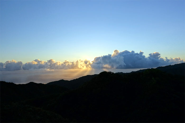
It was time to repay a visit to the Ko’olau Range. Gen, Jose and myself spent the Labor Day weekend cabin hiking in the mountains. Mahalo to Chris Hiona for dropping us off in Pupukea.
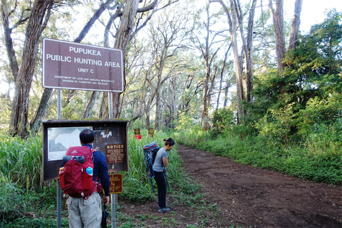
Pupukea
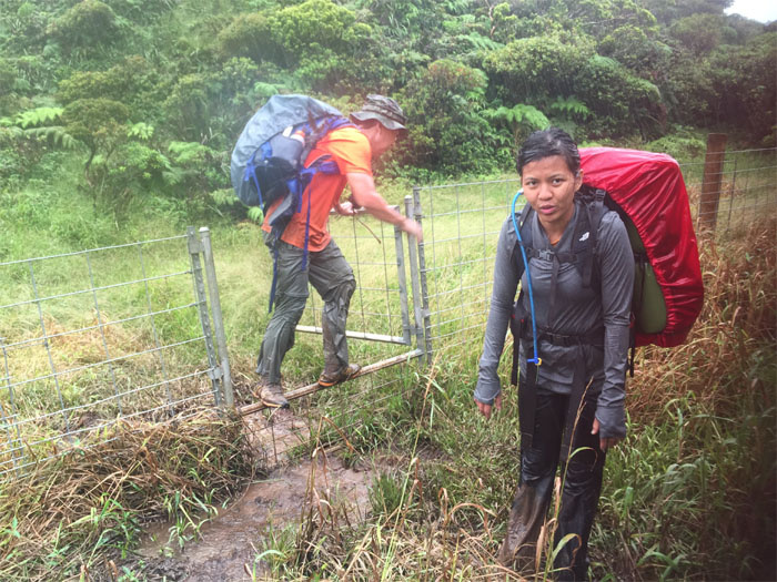
We shouldered our hefty backpacks, some were stuffed with the kitchen sink and the liquor store, as we started on the dirt road that passed the Boy Scout Camp and headed deep into the forest.
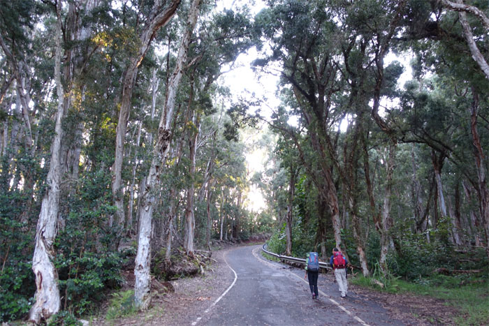
Paalaa Uka Pupukea Road
The dirt road transitioned to a paved military road where we soon passed the Kaunala trailhead on our left that winds through the Pupukea Paumala Forest Reserve. Another hike for another day.
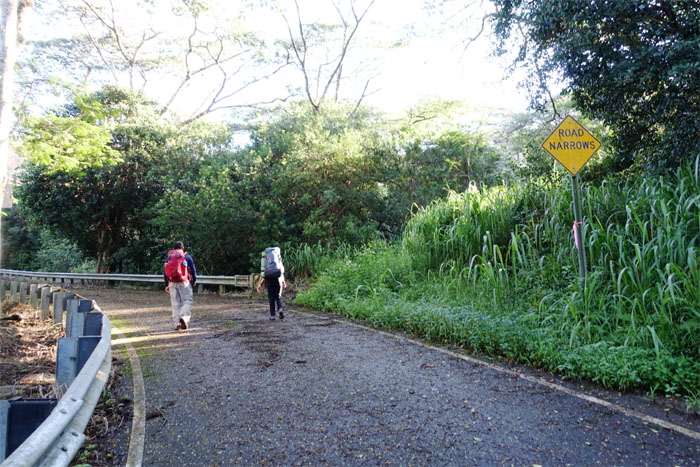
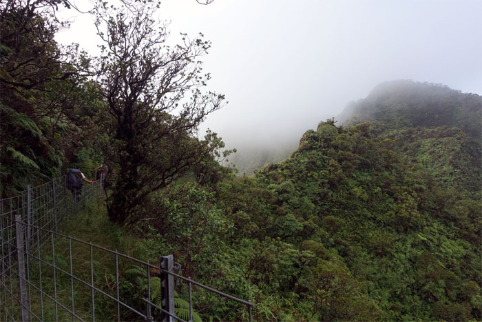
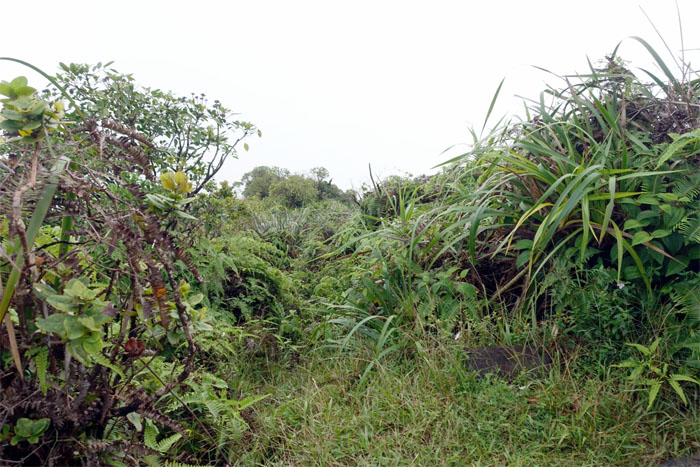
Off the beaten road
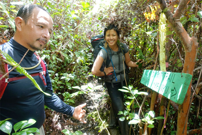
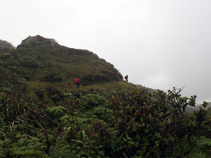
We left the road past mile marker 19 to begin our hike on the Pupukea trail. The road actually continues its way through the lower Ko’olau Range and ends at Helemano Military Reservation.
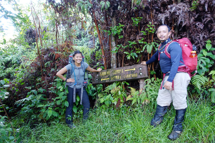
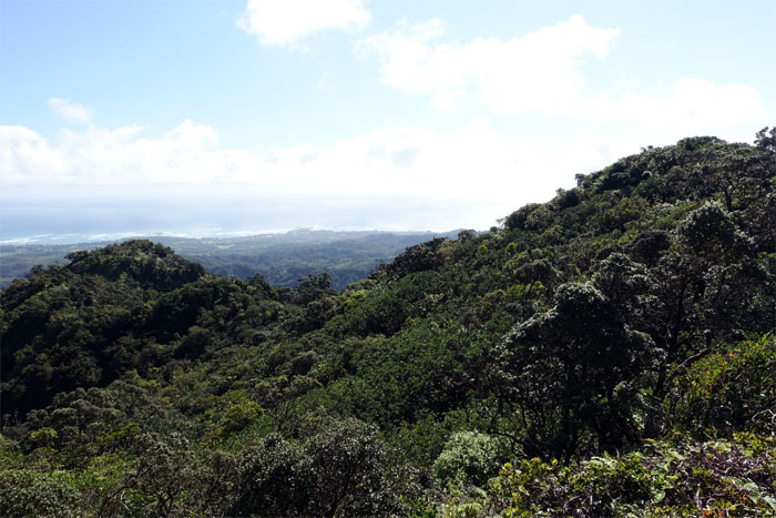
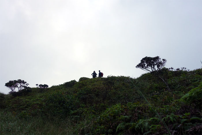
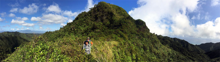
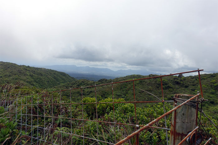
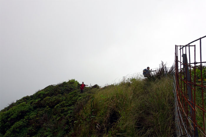
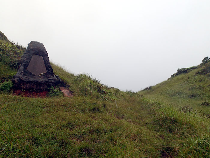
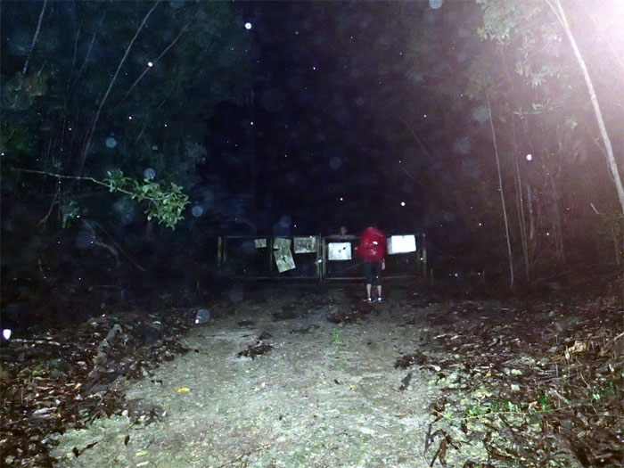
Black Junction
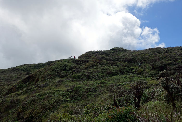
The “official” start of the KST trail. We decided to take a short jaunt to the lookout.
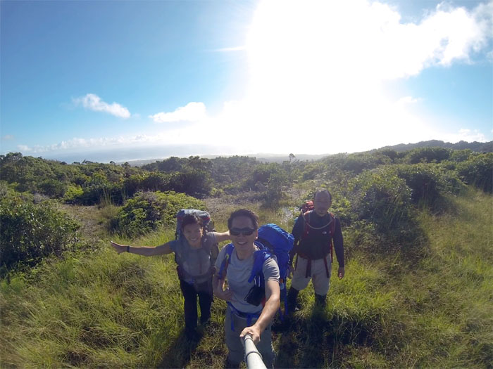
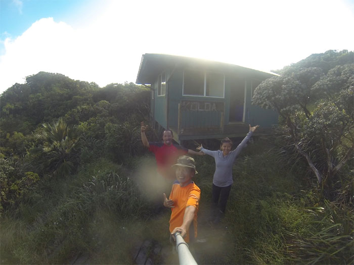
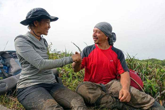
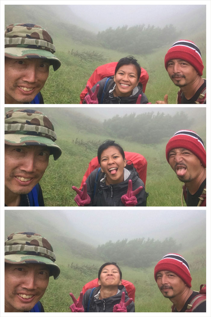
Summit Lookout
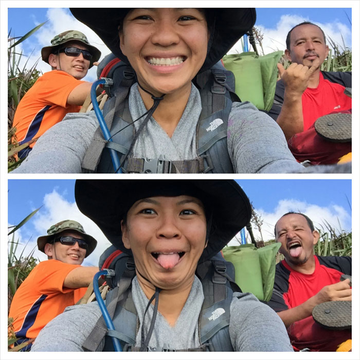
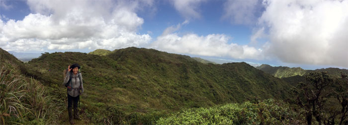
Group photo left to right: Gen, myself and Jose.
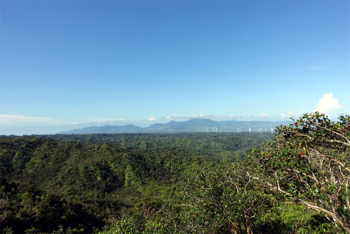
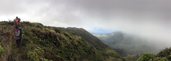
WST
Looking out towards the Waianae Range and the Kawailoa Wind Farm.
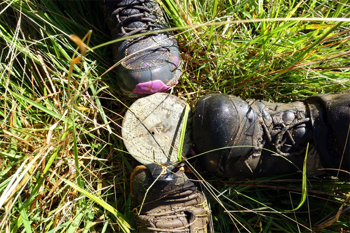
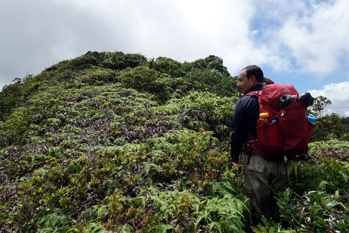
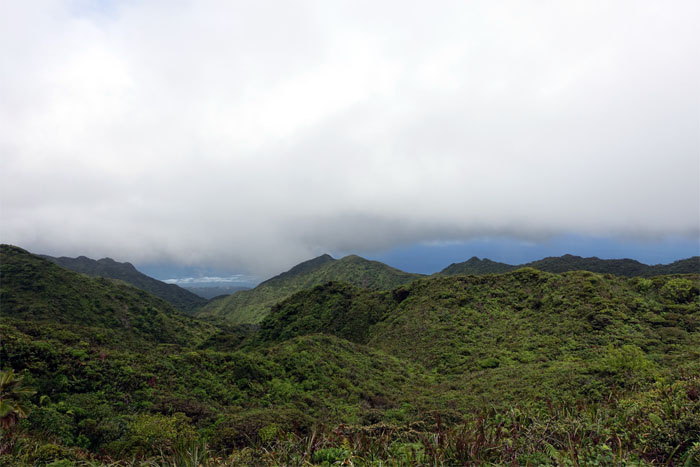
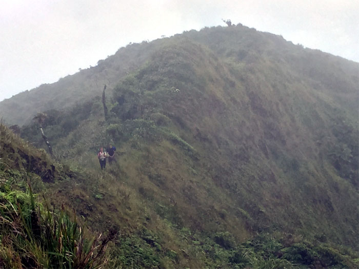
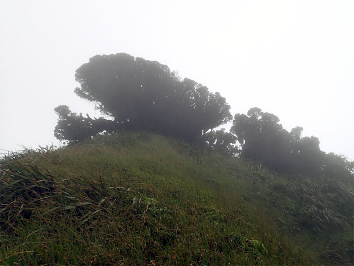
Hina
All feet on the Pupukea Summit. This is also supposed to be the junction for the old Kahuku trail.
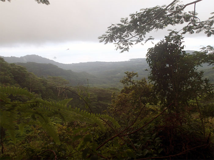
Ocean View
Looking out towards Laie Point.
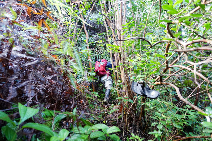
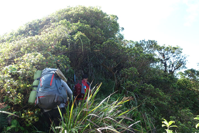
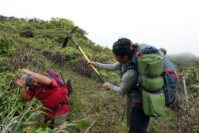
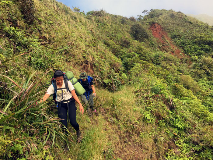
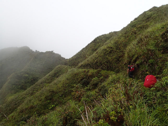
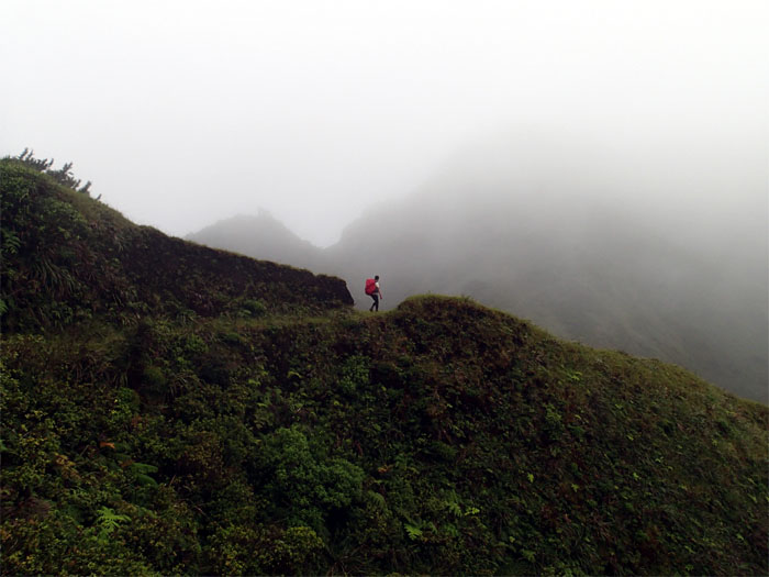
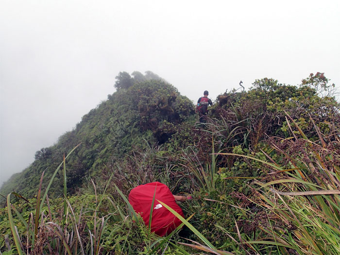
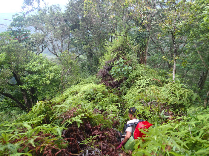
Slipper Junction
Jose plunging into one of the heavily overgrown sections on the trail.
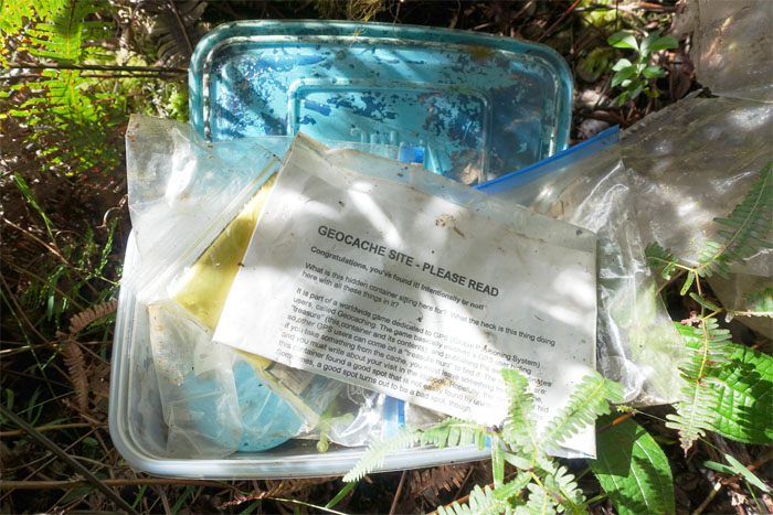
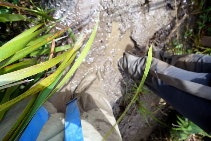
Soggy
Ziploc bags and plastic containers are not foolproof nor waterproof over time.
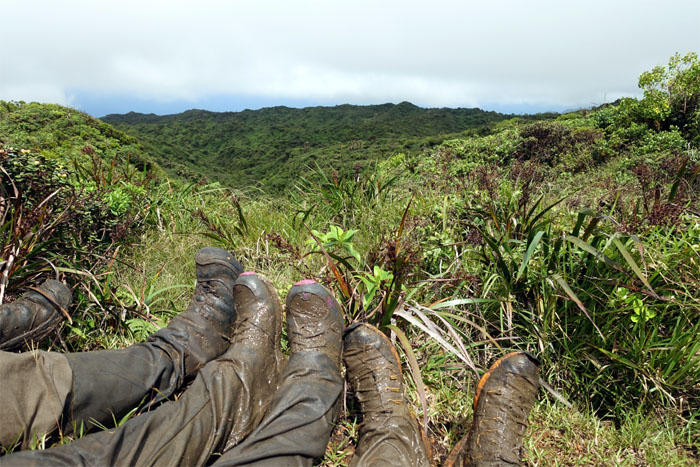
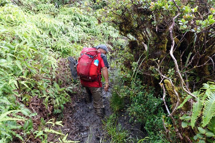
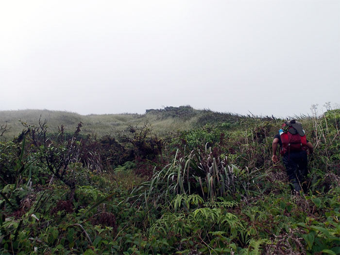
Trail
Jose walking through knee high uluhe ferns and vegetation.
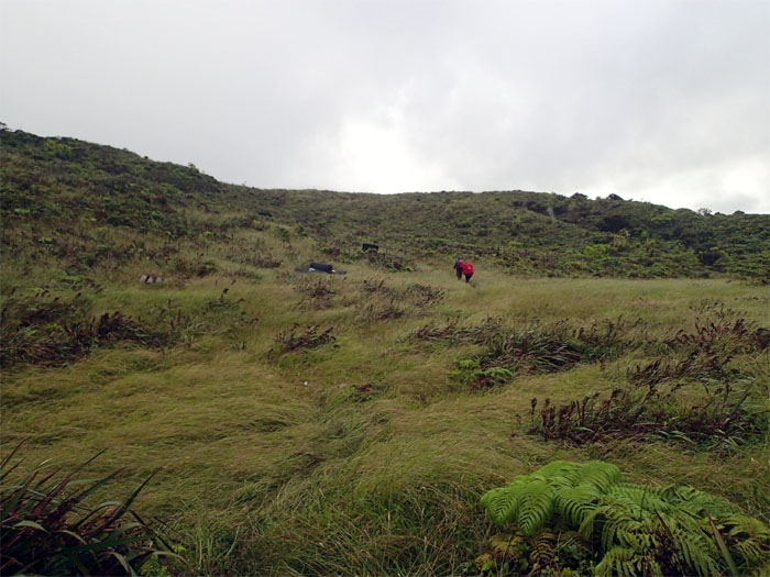
Laie bound
Just a couple more hours to the summit. Almost there. Flashbacks to another hike.
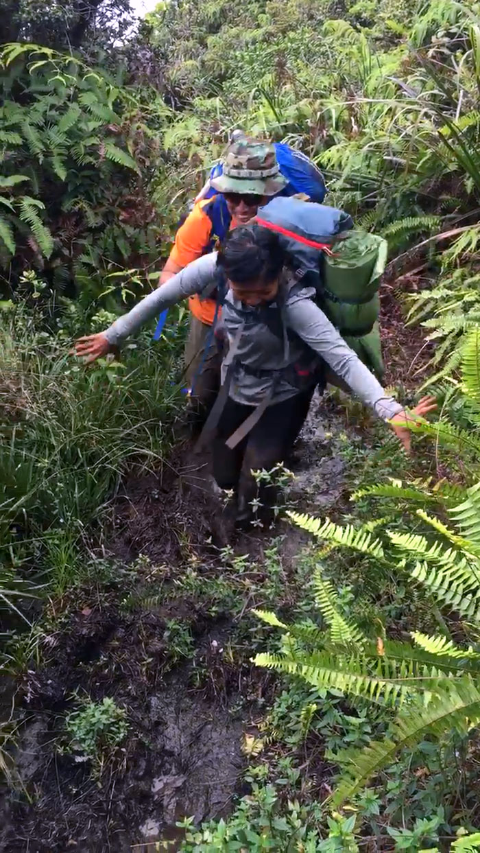
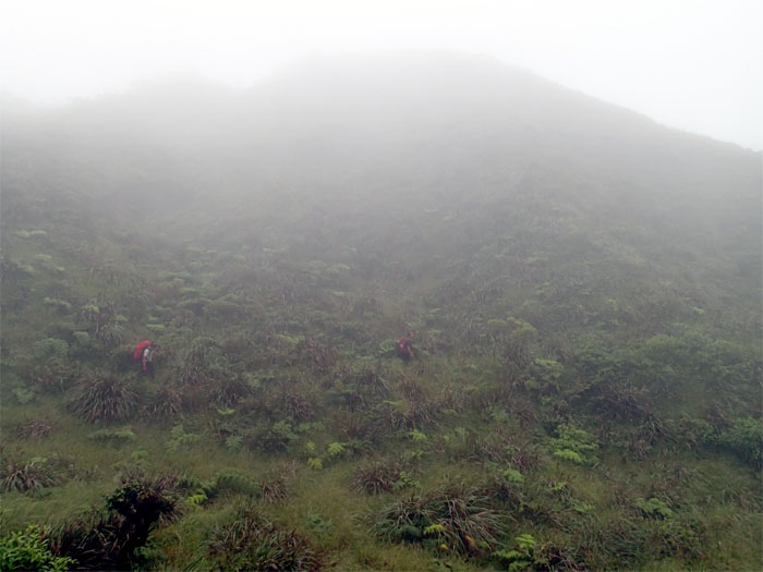
Trail
The trail opened up, giving us a brief respite from all the overgrowth.
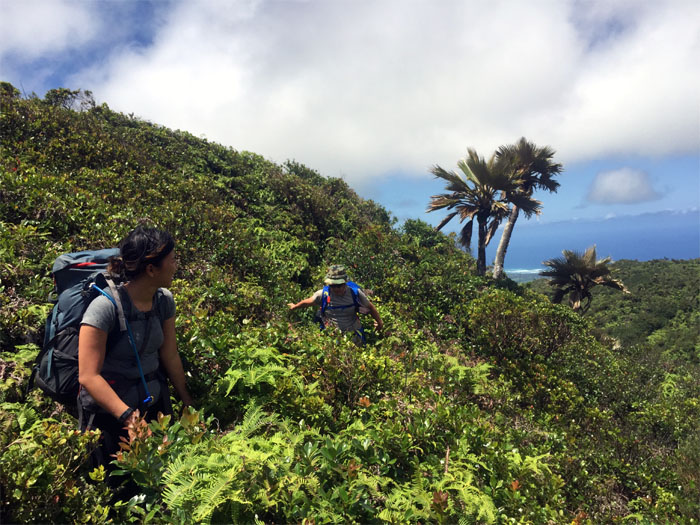
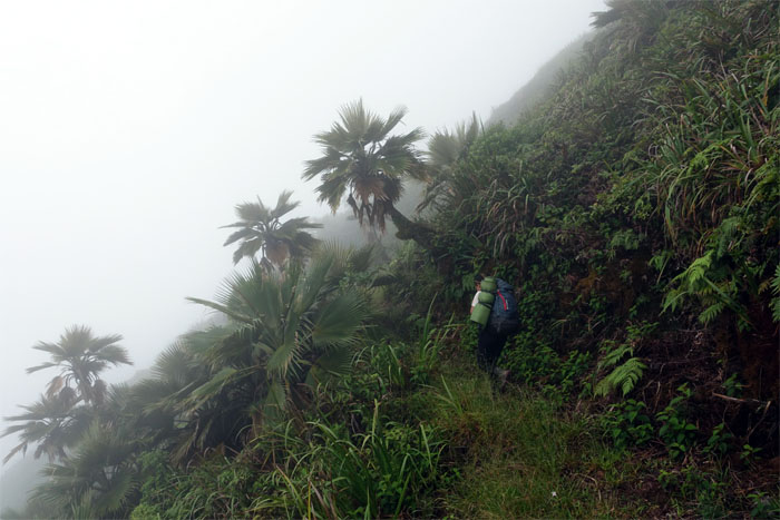
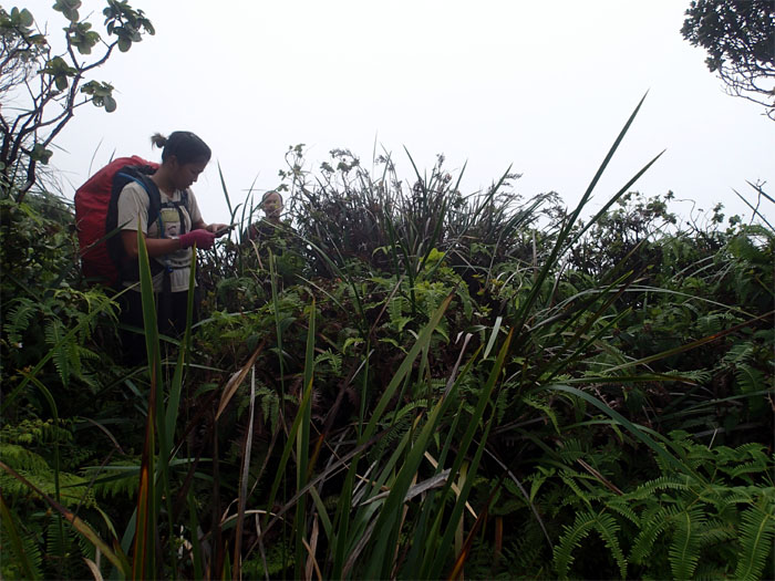
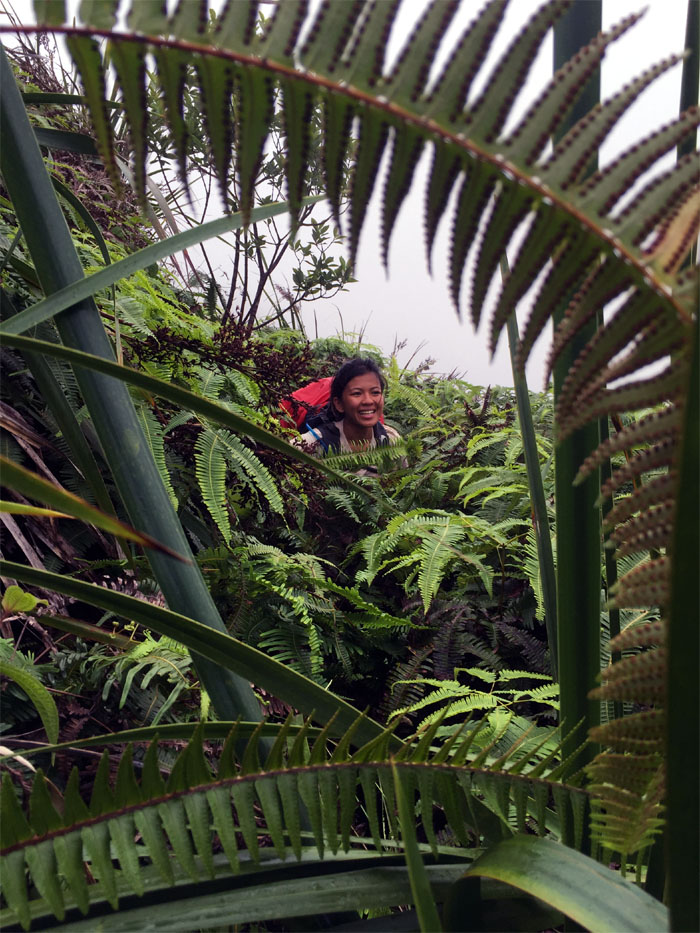
Loulou Palms
Wading through waist high uluhe ferns and shrubs. Photo by Jose Luis Delaki.
Country
Somewhere along this section, we missed the junction for the Maleakahana Trail. Another hike for another day.
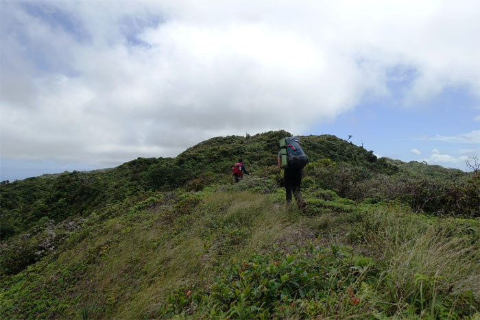
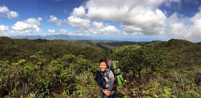
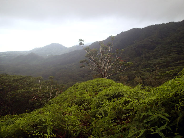
Summit
The Laie summit.
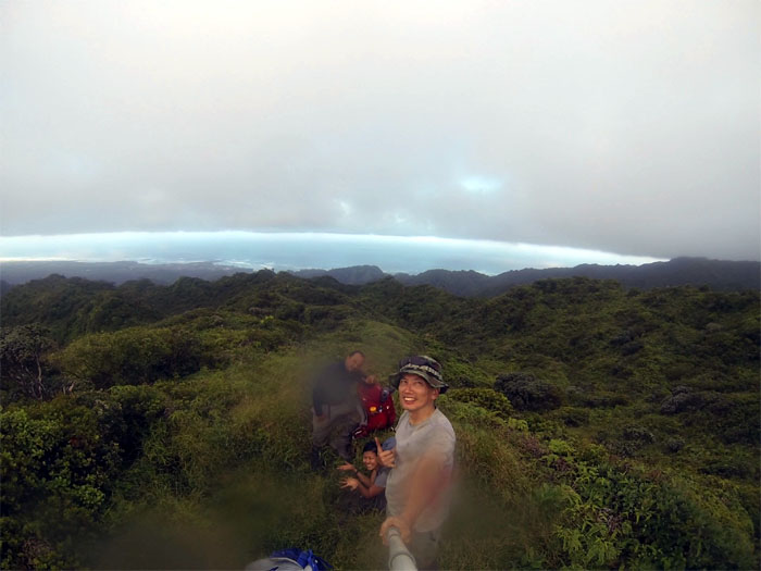
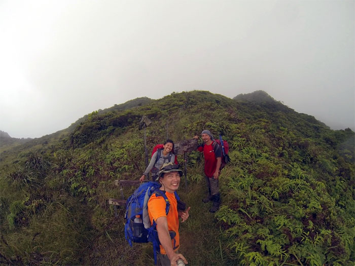
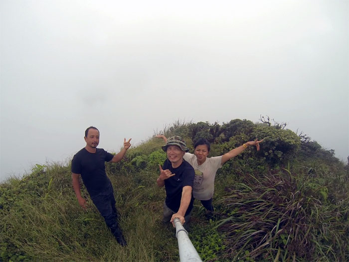
Foxhole
Group photo at the 2,240′ summit.
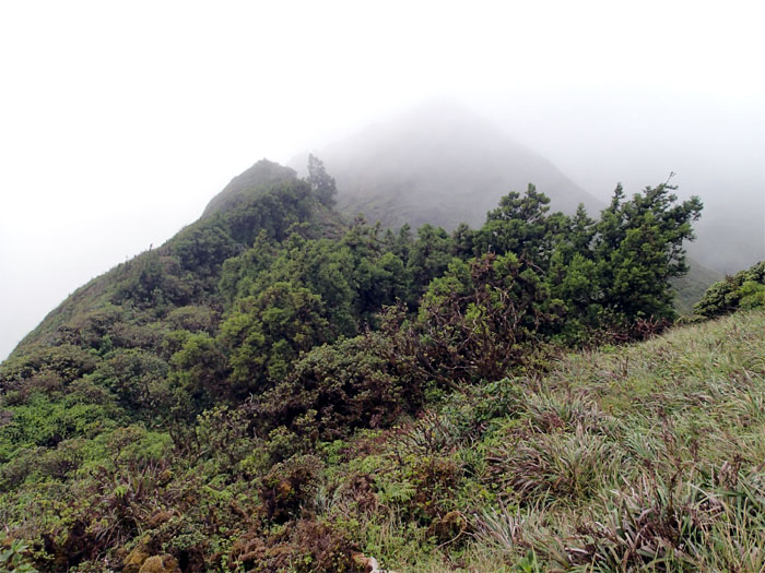
Trail
The trail from the summit was initially defined and well trodden.
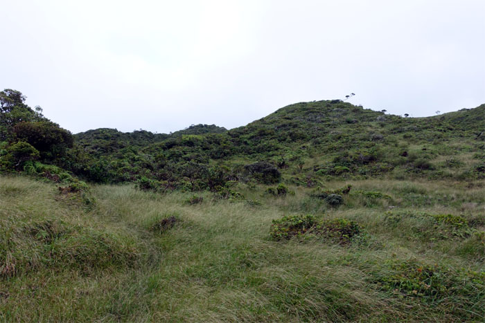
Meadow
We passed the summit of Kawailoa on our right as we crossed the bowl shaped depression. There’s also a nearby water source that Patrick Rorie showed us on our last hike in this area.
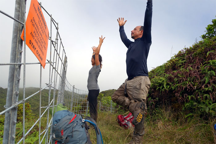
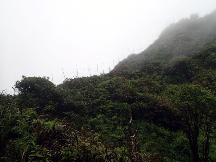
Mountain Yoga
Our first sign of the fence on the KST. It would keep us intermittent company through the following days.
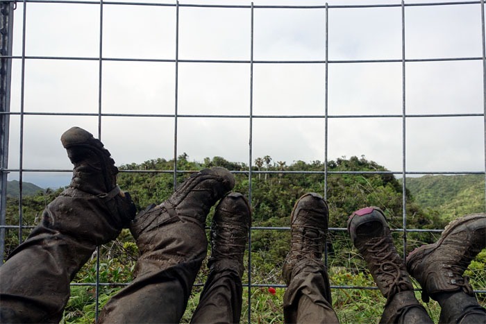
Muddy shoes
Time to take a break. A break from the mud.
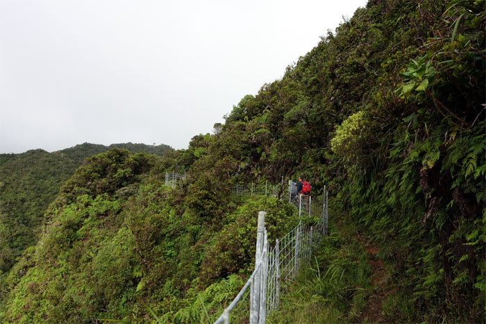
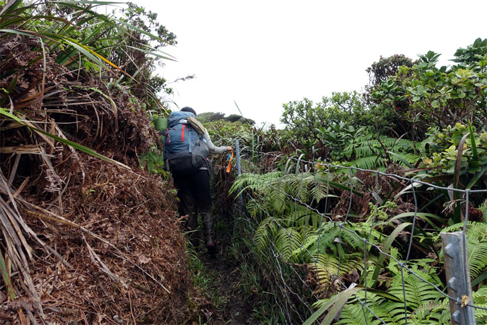
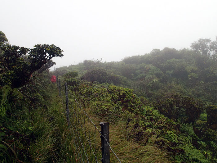
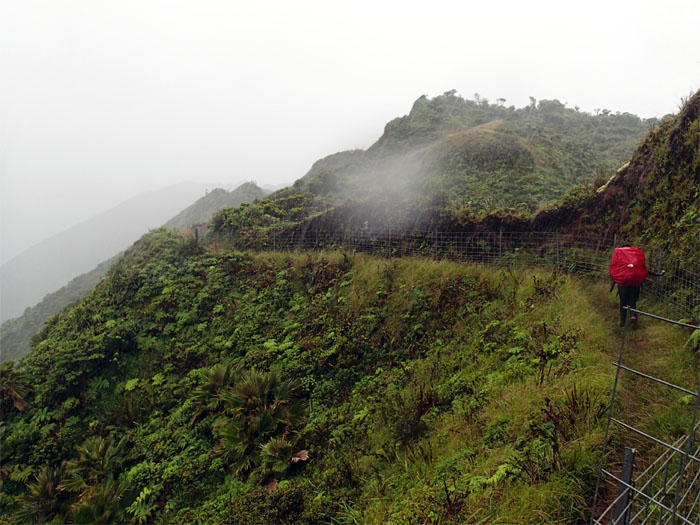
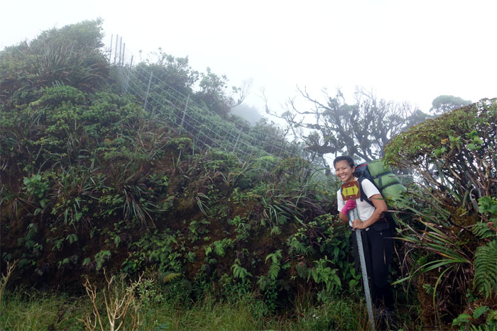
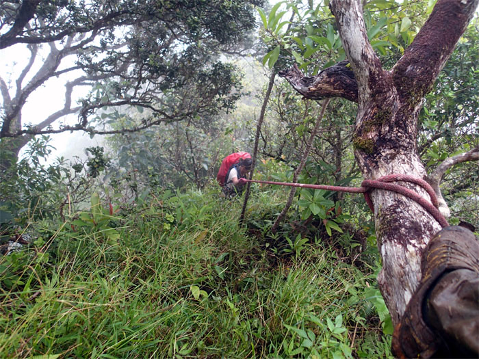
Follow the fence
We resumed hiking on the mostly Windward side of the fenced trail.
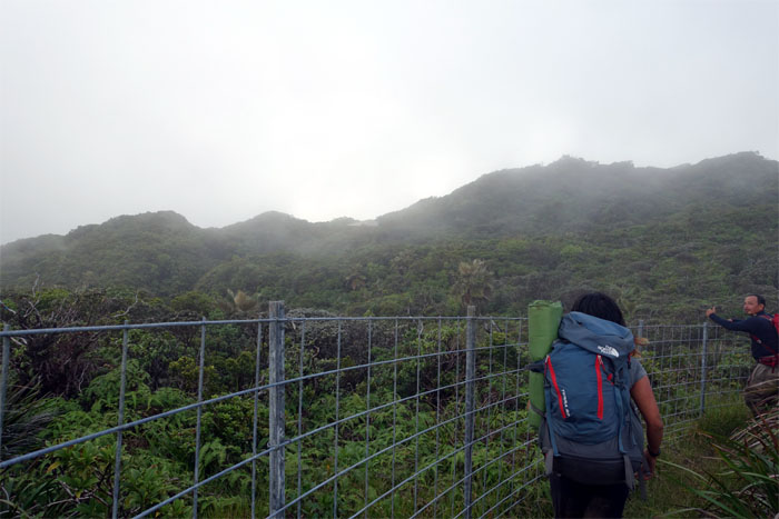
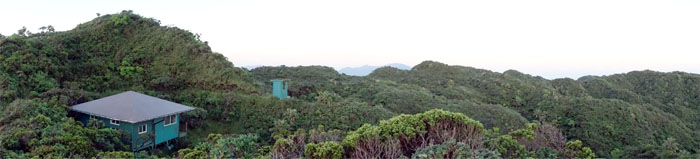
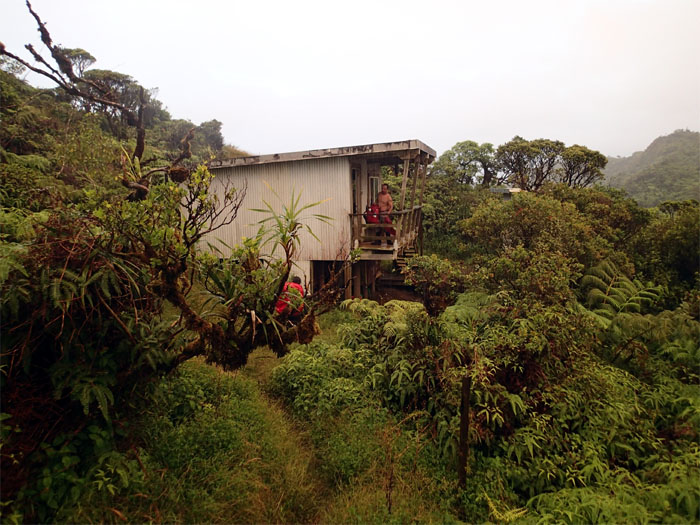
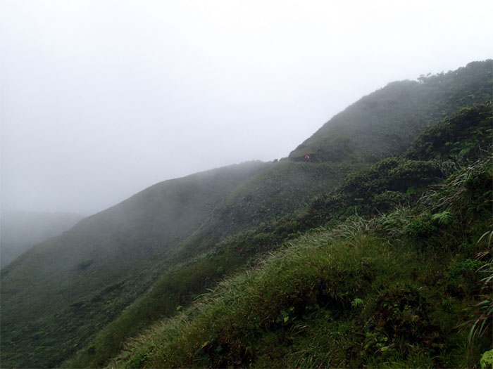
Cabin in the clouds
A sight for sore eyes.
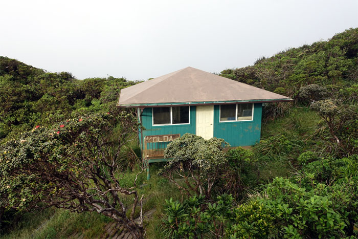
Koloa Cabin
The best cabin on the KST.
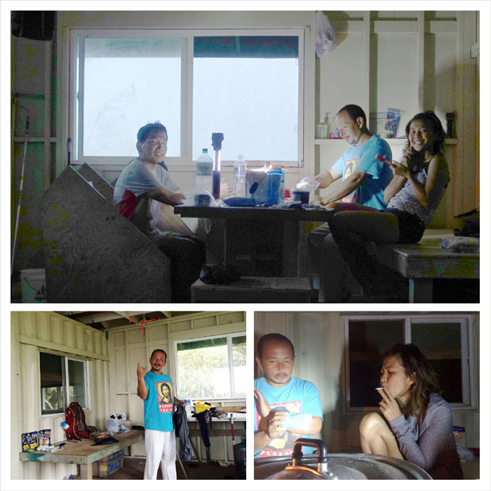
Cabin life
Stuff I learned on my first cabin hike. Bring extra clothes, so you don’t have to be wet, dirty and miserable the whole day and night. Wet clothes and shoes will not dry on top of the KST. Bring a toothbrush, as dental hygiene is important when roughing it. Mountain House tastes a lot better than MREs, especially if you have a heat source. Hot chocolate is imbibed better laced with vodka. Smoking tobacco tastes better when you roll it yourself. Things that go bump in the night could be a rat or a ghost. But if you sleep soundly and snore loudly enough, things like that don’t bother you.
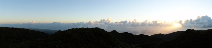
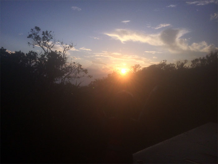
Sunrise
Click here for the larger image.
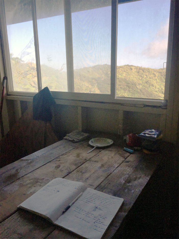
Morning musings
Rambling reflections of our hike so far that we left in the cabin log book, that was donated by Allison Baird.
Good morning
Group photo at the cabin.
Leaving the cabin
It was so hard to leave this cozy cabin in the mountains. Click here for the larger image.
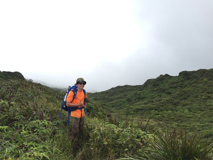
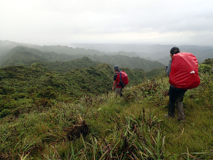
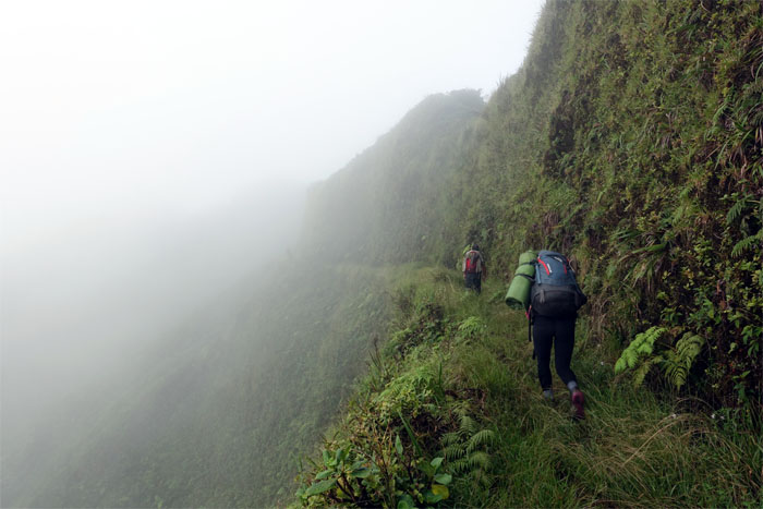
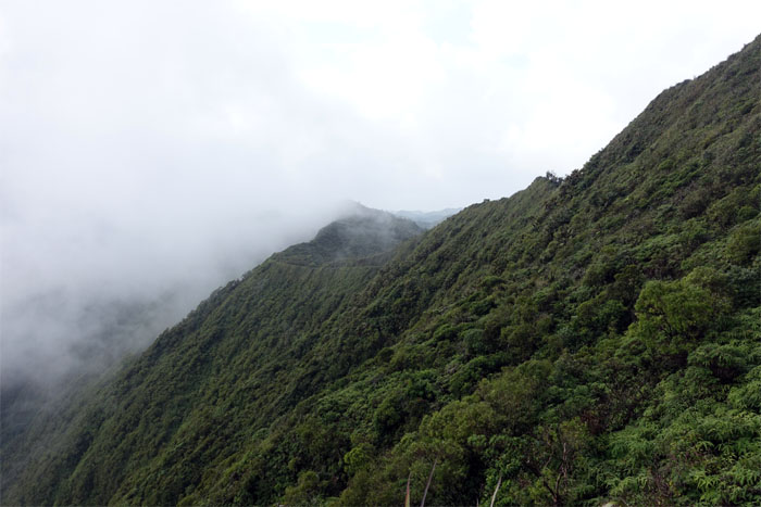
KST
The Windward side of the Ko’olau Summit Trail.
Leeward side
The trail also meandered on the Leeward side that was marked by heavy cover and vegetation.

Trail
The trail weaved across open meadows and back to the Windward side.
Looking back
Click here for the larger image. Photo by Jose Luis Delaki.
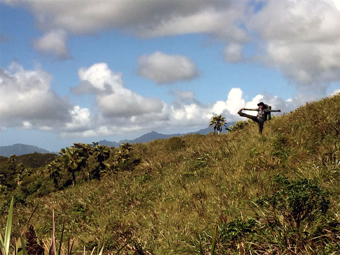
Kicking It
Stretching it on the KST. Photo by Jose Luis Delaki.
Ko’olau Faces
I always fail to get the memo. Photo by Genesaret Balladares.
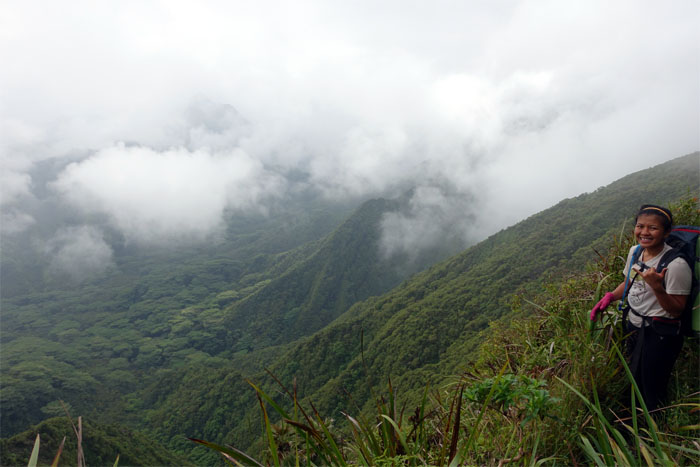
Waianae Mountain Range
Click here for the larger image. Photo by Jose Luis Delaki.
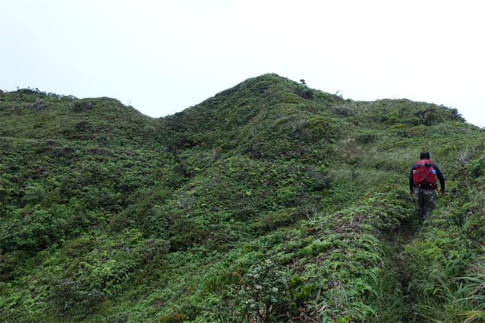
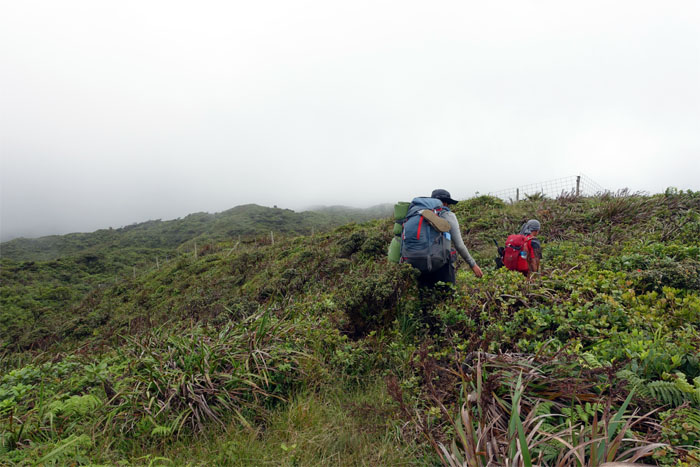
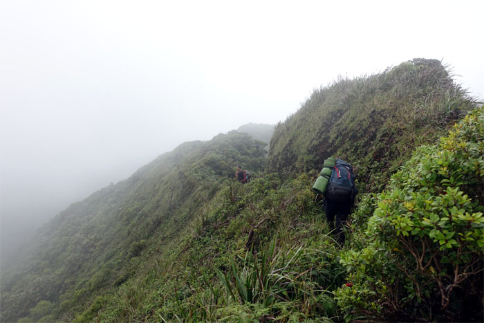
Trail
The trail contoured the ridgeline for the most part.
Scenic view
Click here for the larger image. Photo by Jose Luis Delaki.
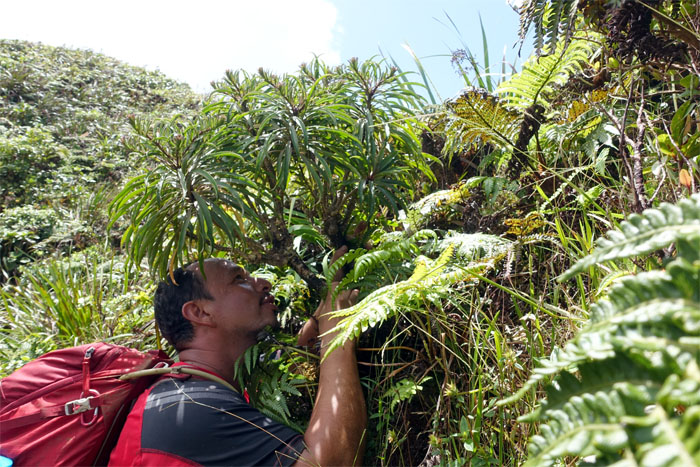
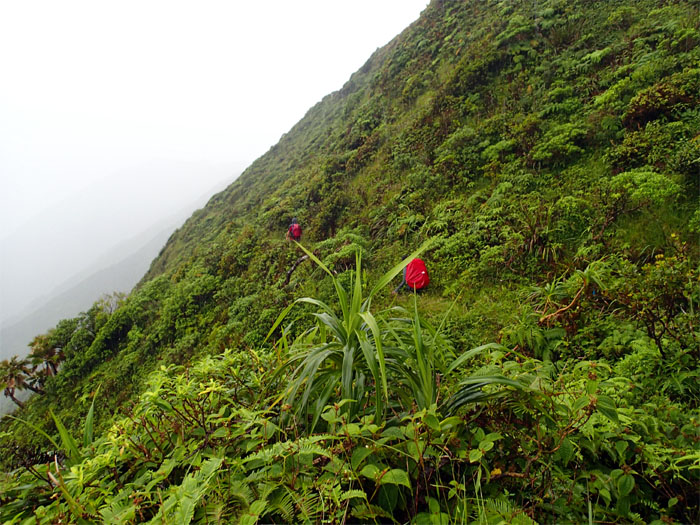
Ko’olau Range Lobelia
No plants were harmed or molested in the making of this photograph.
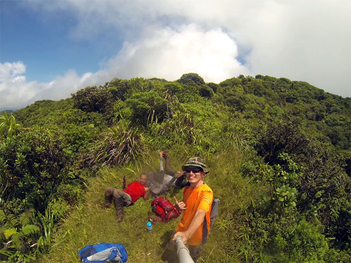
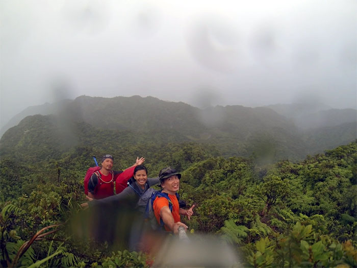
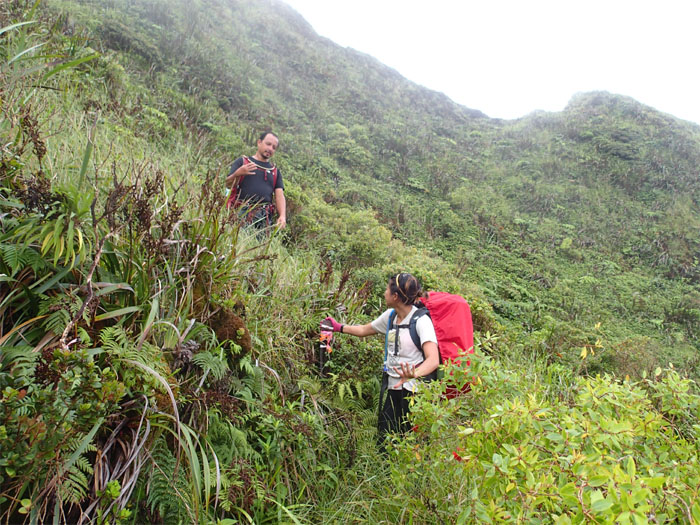
Castle Junction
Group photo.
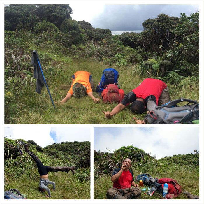
Mountain activities
Time to stretch and relax.
Trail
Open country. Photo by Genesaret Balladares
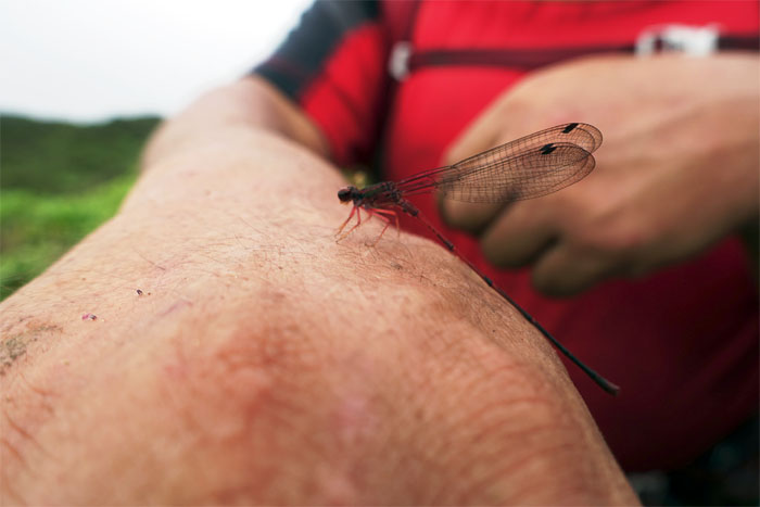
Dragonfly
Hello. Which one of 5,000 species are you?
Hello fence
Just when we thought we lost the fence.
Army Cabin
A junction and cabin for another day. Time and weather was not on our side.
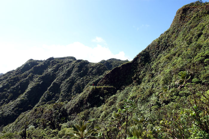
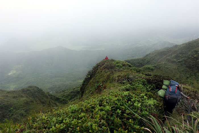
Ridges
Looking out at all the ridges and valleys.
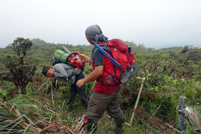
Got Mud?
The Papali section is feet down, the muddiest section of the KST.
Mud break
We needed a Kit Kat break, not a mud break.
Ko’olau Award
Gen being badged the Wawae’iole club moss. The order of mud splatter was automatically awarded.
Deep Mud
Jose going through a typical muddy section of the trail.
Spartan Mud Race
Get ready. Set. Go! Photo by Jose Luis Delaki.
Trail
The fence made some sections of the trail a little tight for space.
Ko’olau Massacre
Hiking in mud all day can do strange things to a person.
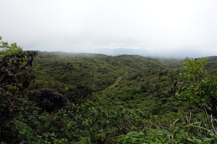
Cloudy view
We saw a stream meandering its way down to the valley below us.
Revenge of the Ko’olau Massacre
Hiking in the mountains all day can do strange things to a person.
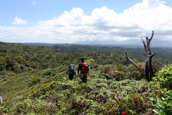
Trail
Approaching a scenic point overlooking Kahana Valley.

Kahana Valley
Click here for the larger image. Photo by Jose Luis Delaki.
Trail
Clinging onto the fence as the trail traversed a narrow section of the ridgeline.
Hanging on
Click here for the larger image. Photo by Jose Luis Delaki.
Meadow
Why did the hikers cross the fence? To get to the other fence.
Da Boot
The iconic landmark on the KST. Some believe this is the junction for the Pe’ahinai’a Trail, another trail that has fallen out of use.
Trail
We followed the contour trail on the Leeward side.
Fence
The fence picked the trail back to the Windward side.
Almost there
We left the fence line to continue following the ridge down to Poamoho.
Contouring
Hiking on the Windward side of the trail.

Gated hike
The gate was a sign that we were close to the Poamoho summit.
All wet
Soaked to the bone with mud and water.
Poamoho Summit
One of the best views on the island. When it’s not socked in. Like today.
Trail
There was no view at the summit to be had, so we pushed onto the cabin. The fence had extended its reach since my last visit.
Cabin and marsh
Let’s get out of this rain, but let’s take a group photo first.
Poamoho Cabin
Our cabin for the night.
Cabin entertainment
Poamoho cabin is the oldest extant cabin on the KST and is beginning to show its age. Especially after staying in the newer and roomier Koloa Cabin, but at least it wasn’t locked. We had a roof over our heads and all the rain water we wanted at our disposal.
Sunrise
Good morning! Time to put our wet clothes and shoes back on.
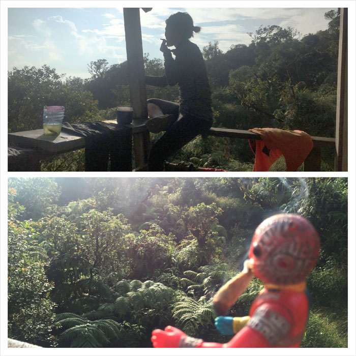
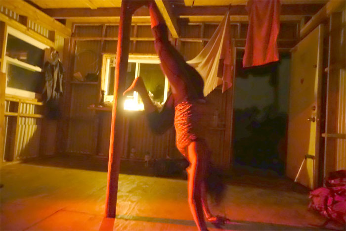
Morning smokes
Even robots just want to have fun.
Back on the trail
Our final day hiking on the KST, as we pushed towards our destination which was Waiahole Uka.
Donkey trail
These trails were blasted and carved out of the mountains by the CCC gangs back in the 1930s.
Hiking sign
Another new sight on the KST. What’s next? Lunch wagons?
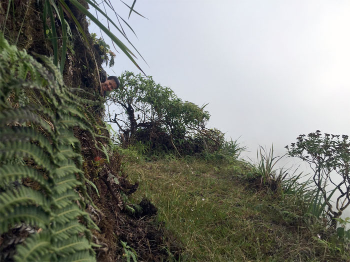
Peek-a-boo
Can you see us? Photo by Jose Luis Delaki
Pauao Ridge Junction
The long hike down to Kahana Valley. Another hike for another day.
Trail
Hiking the Windward side of the trail.
Trail
Watching out for the numerous false steps on the trail. Photo by Jose Luis Delaki.
Trail
The mountainside was dotted with assorted shapes and sizes of native loulou palm trees.
Trail
The trail had numerous short up and downs. Photo by Jose Luis Delaki.
A trail with a view
Every now and then, the clouds would part to tease us with a view.
Schofield-Waikane Junction
The long ridge down to Wahiawa. Another hike for another day.
Waikane Junction
We came to the Waikane junction where we took the higher trail to continue our hike.
KST
The trail contoured on the Windward side below the ridgeline.
Meadow
Cloudy and socked in conditions makes it easy for hikers to get confused and lost navigating the trails.
Tricky Junction
This section was counter-intuitive as one does not continue straight but heads up and turns left to maintain track on the KST.
Trail
Contour for days.
Lehua Papa
Perched above us was the largest known tree of the myrtle family on the Ko’olaus according to Dave Fahrenwald.
Fence
Fenced ridgeline.
Ko’olau Potraits
The mountain meadow photo booth. Where do all those memos go?
Jungle
Uluhe was growing rampant in some sections. Photo by Jose Luis Delaki.
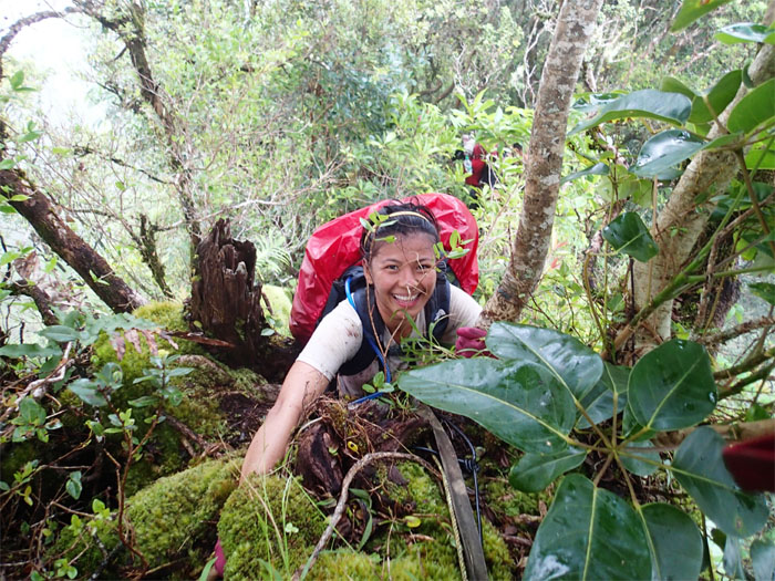
Notch
Gen going through the notch.
Uphill
Pushing up the last hill to the summit of Waiahole Uka.
Looking down
One of the few groves of Japanese Sugi Pine Trees to be found on the island. Other than at your friendly neighborhood nursery.
Waiahole Uka Summit
Socked in and raining. Typical Windward ridge.
Going down
Making our way down the cloud covered ridge.
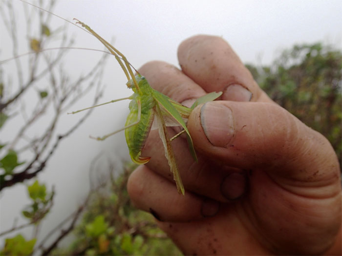
Grasshopper
Can you hear me now?
Going down
One at a time.
Mossy
Abundant moss covered most of the trees at the higher elevation.
Uluhe
Waiahole is known for its dense and interlocking uluhe ferns. Loads of fun. Not really.
Ocean view
Taking a respite from the uluhe, enjoying limited views of Mokolii.
Never ending
Coming to the last major hump before the final descent off the ridge.
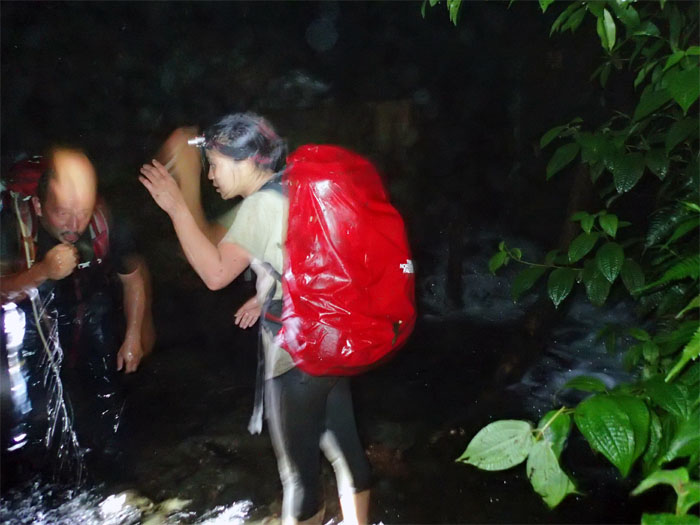
Water
Once we dragged ourselves off the uluhe infested mountain, we turned right onto the Kuolani-Waianu trail and crossed over several large landslides with huge trees blocking the trail.
All pau
Big mahalos to Chris Bautista for picking us up in the dark and pouring rain. No sign of Scuba, the self proclaimed guardian of the valley.
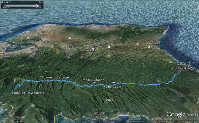
GPS Tracks
The laborious three day hike covered 27.92 miles through the Northern Ko’olaus with stunning scenery, convoluted terrain and not another soul in sight. Good times with great friends. Post hike meal at Haleiwa Joe’s. Gen ran into the restaurant to secure our table before the last seating. I got the most eye popping, belt busting piece of prime rib that my stomach has seen. All that was missing were the horns and the tail.
{ 0 comments… add one now }