
I had read somewhere that a ridge could be traversed from the Pu’u O Kona Summit down to the Windward side. Muddled thinking clouded my judgment and I became rather excited that I had “found” another ridge to explore despite having been up there too many times to shake a stick at. My euphoria was short-lived until a friend pointed out that it was most likely Bear Claw. Photo by Cisco Quintanilla.
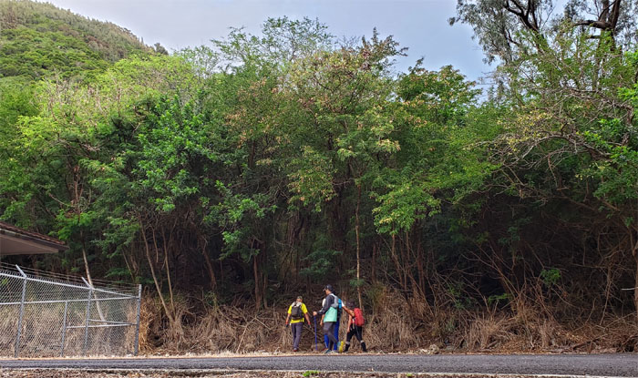
Trailhead
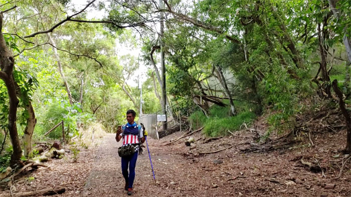
Met up with Charlie, Cisco, Ferlino and Janell at the Kuli’ou’ou trailhead to hike a “new route” and a new hike for some.
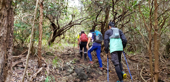
Kuli’ou’ou West
Right off the bat, it was a short and steep climb that were partially interrupted by switch backs.
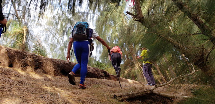
Kuli’ou’ou West
We soon crested to the relatively flat section of the ridge shaded and carpeted by the pine trees.
Kuli’ou’ou West
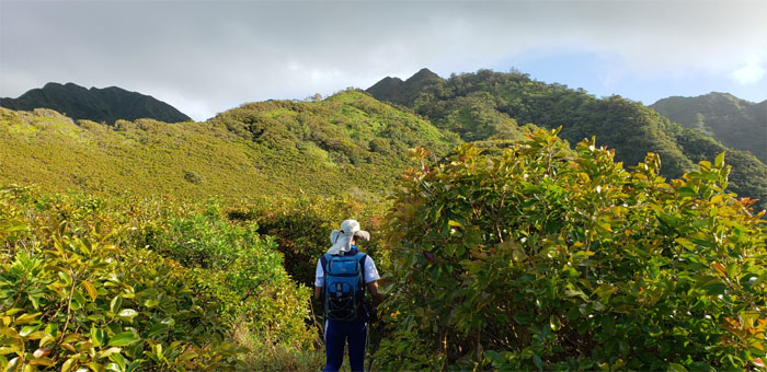
Leaving the tree line to make our way up to the Ko’olau Mountains.
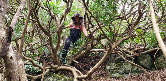
Kuli’ou’ou West
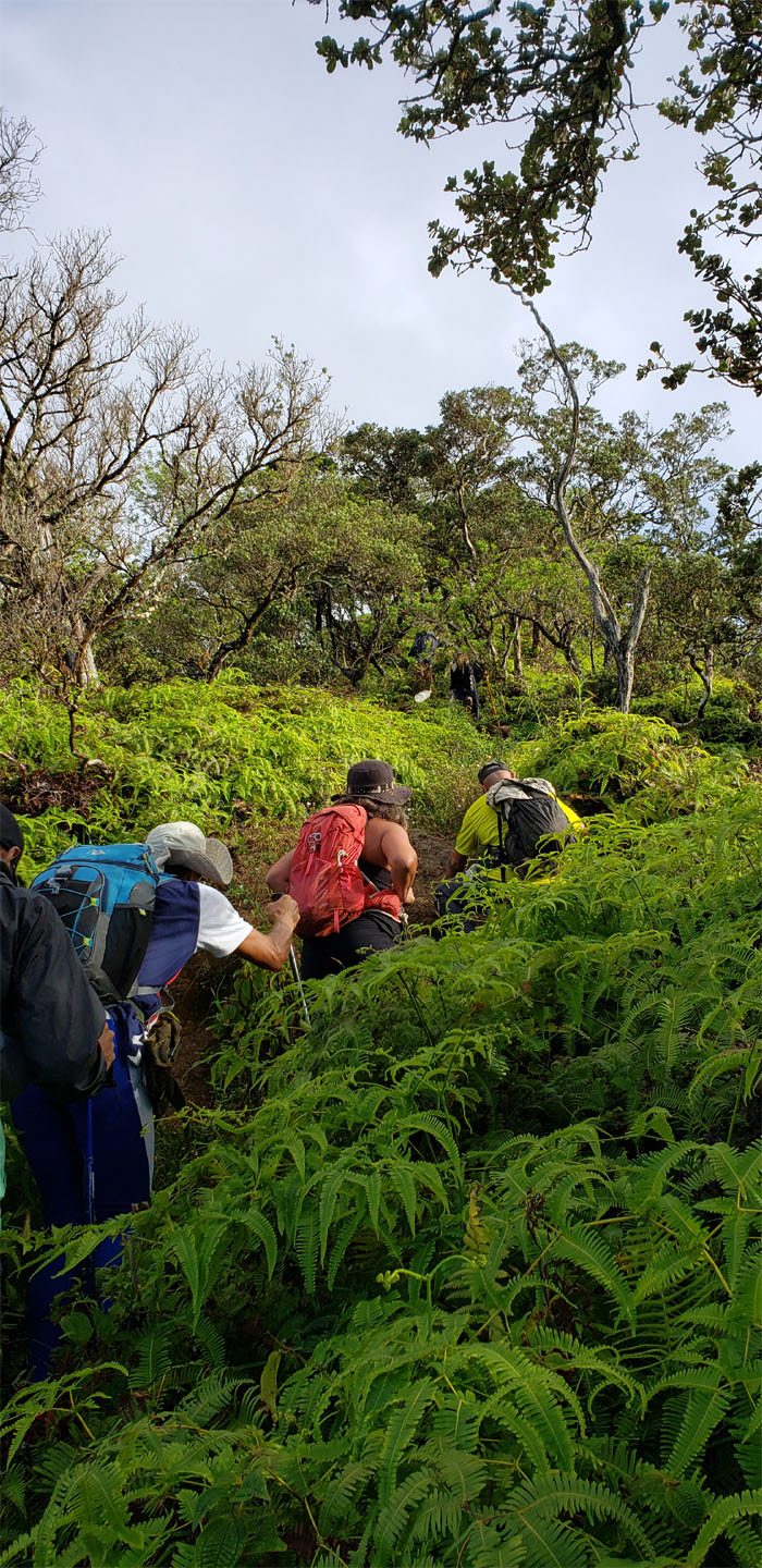
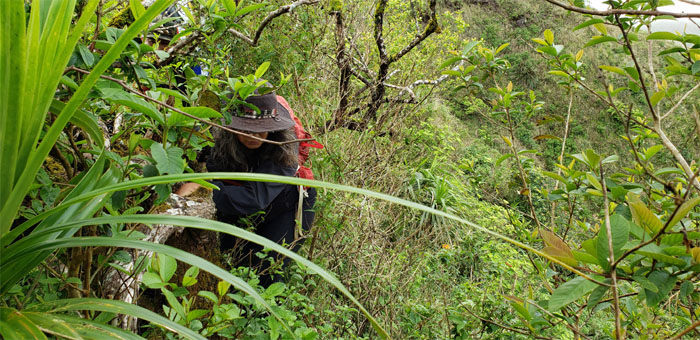
Slogging through the thick underbrush of uluhe ferns.

Kuli’ou’ou West
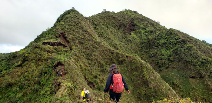
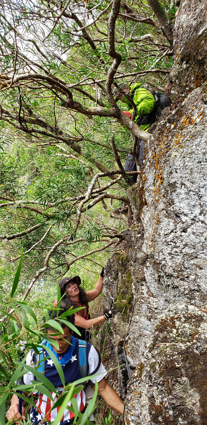
Climbing up the exposed and crumbly ridge line, a welcome relief from the scratching and clawing ferns.
Kuli’ou’ou West
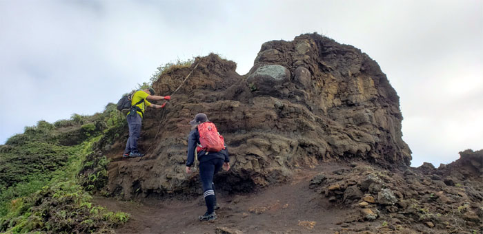
Our last crumbly rock climb. Well, not counting the other spur ridge going down.
Kuli’ou’ou West
We were within striking distance of the flat topped summit.
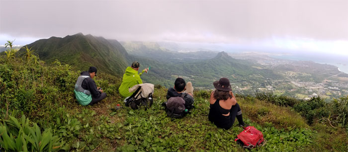
Pu’u O Kona Summit
Enjoying the expansive views from our 2,200′ perch. Photo by Ferlino Carinio.
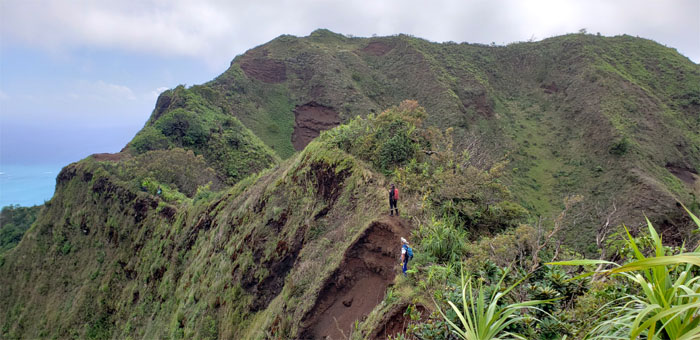
Ko’olau Summit Ridge Trail (KSRT)
Passing over the eroded section that looks worse than it actually is.
KSRT
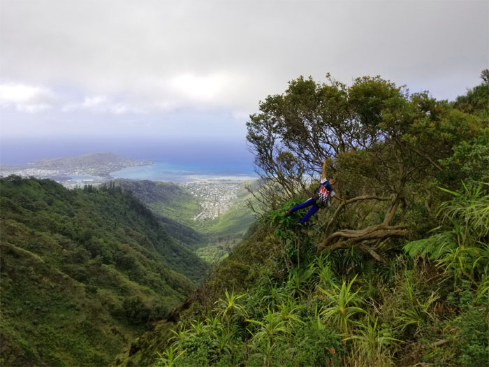
Not all monkeys fall from trees. Core strength goes a long way. Photo by Charlie Antonio.
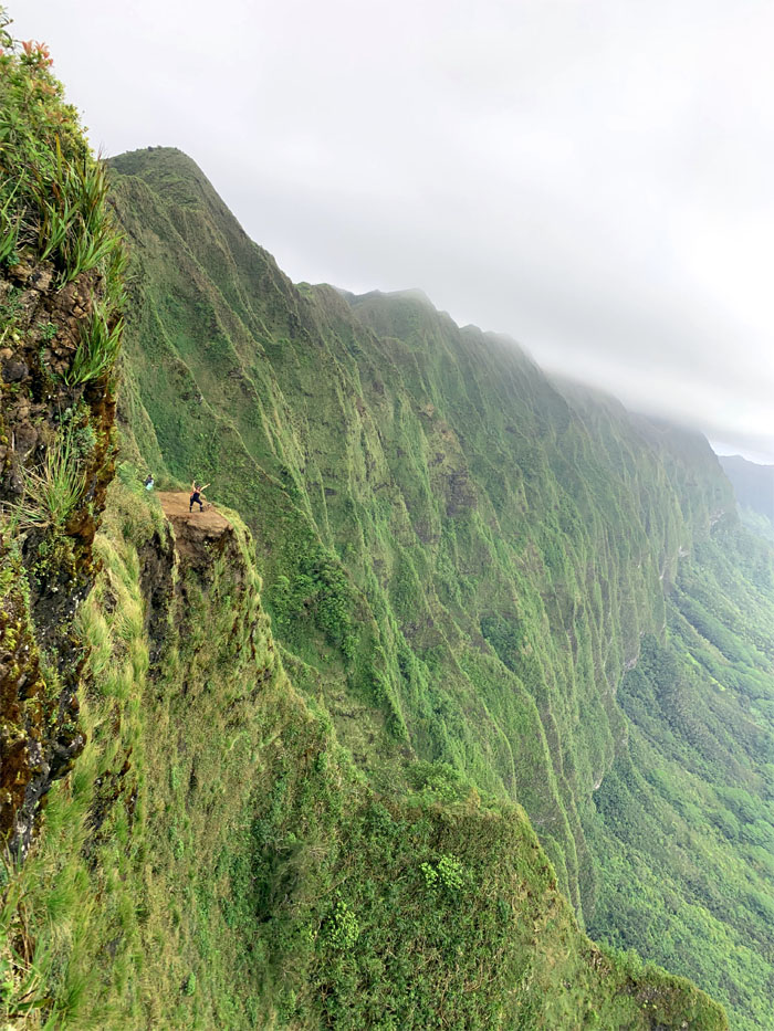
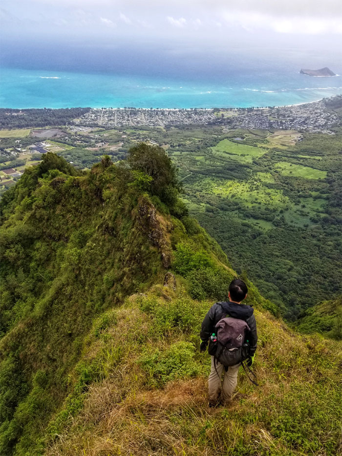
IG Spot
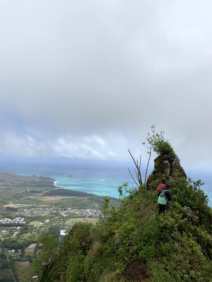
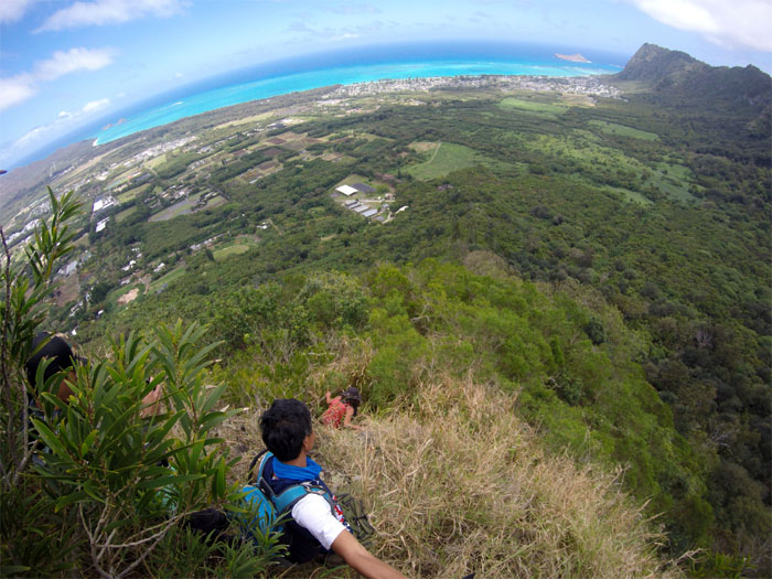
I can see why people even drag tents to take a photo at this spot that has the striking background of fluted ridges that seem to go on forever. Photo by Cisco Quintanilla.
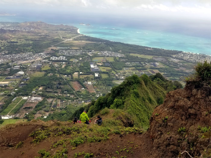
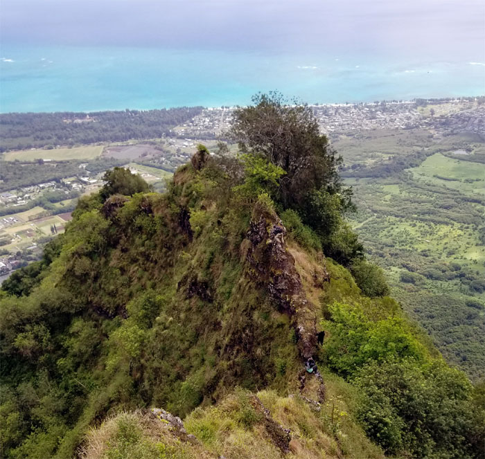
Bear Claw Ridge
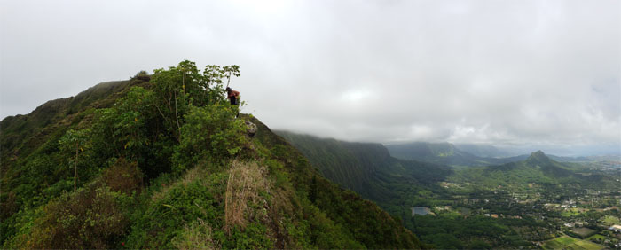
Leaving the spine of the Ko’olau’s as we headed down the Windward ridge. Photo by Ferlino Carinio.
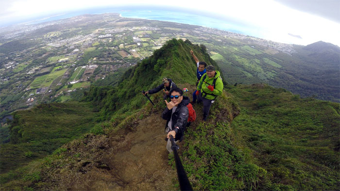
Bear Claw Ridge
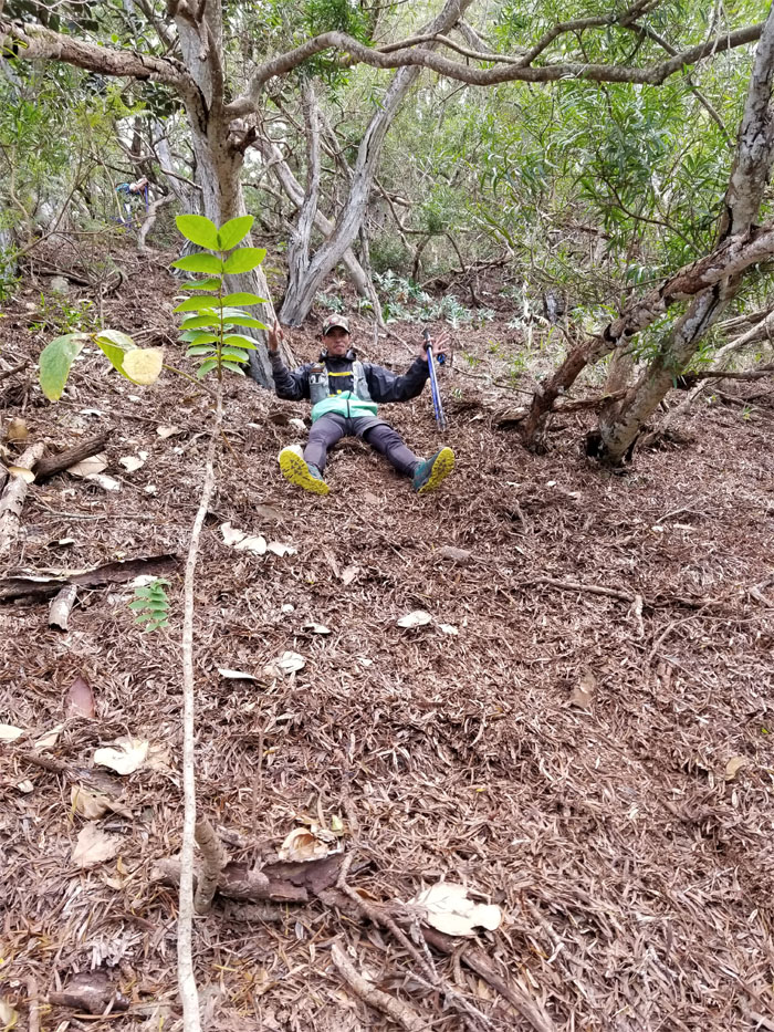
Happy Easter from Bear Claw.
Bear Claw Ridge
The initial descent down the ridge. You can do this!
Bear Claw Ridge
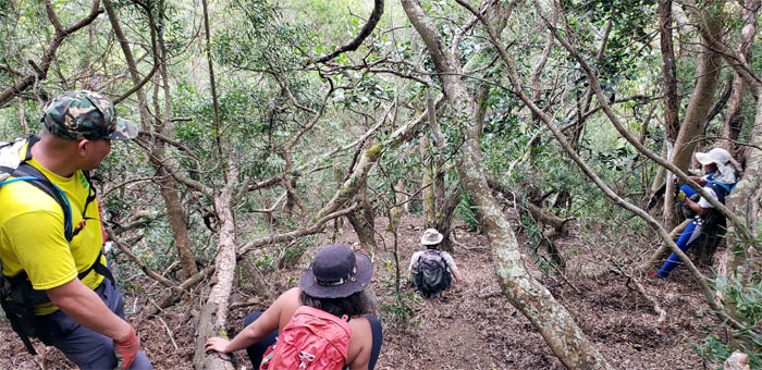
Going down the ridge and battling the overgrowth on our way down. Photo by Charlie Antonio.
Bear Claw Ridge
Janell swinging herself around the tree to regain the ridge line.
Bear Claw Ridge
Leaving behind the pesky overgrowth as the ridge became more exposed. Thank goodness. Photo by Janell Tuttle.
Bear Claw Ridge
Climbing and contouring on the ridge line. Photo by Ferlino Carinio.
Bear Claw Ridge
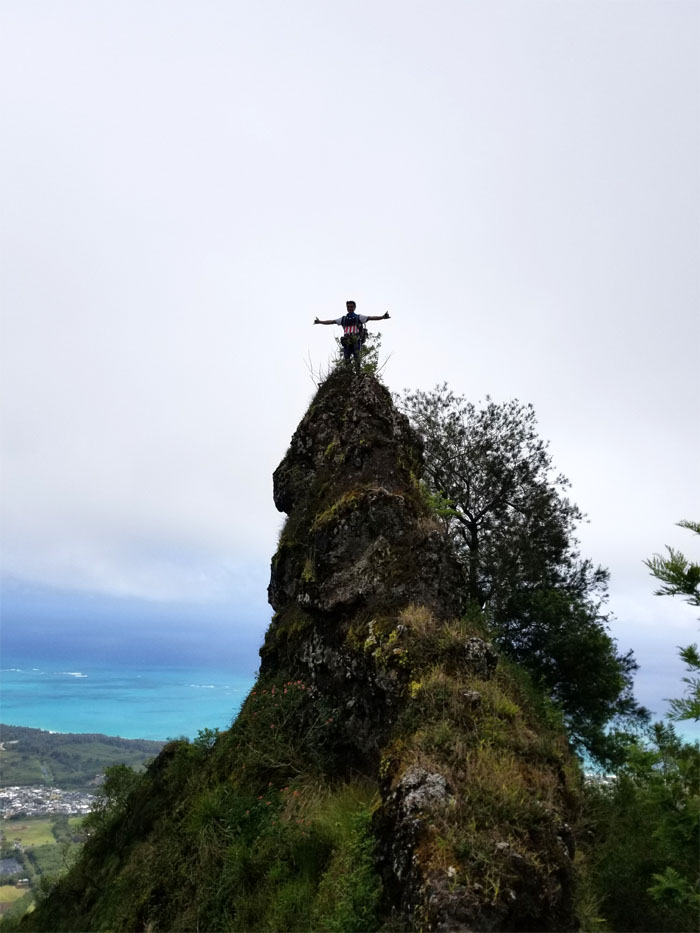
The human cross. Photo by Charlie Antonio.
Bear Claw Ridge
Making our way up … Photo by Cisco Quintanilla.
Bear Claw Ridge
… and down a small bump on the ridge. Photo by Charlie Antonio.
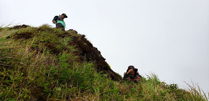
Mushroom Rock
Janell perched on the rock that has seen better days, in terms of less overgrowth.
Junction
Brief break where the ridge splits into two. Your left, our right. Photo by Janell Tuttle.
Bear Claw Left Fork
Janell going through the tangled tree line.
Bear Claw Left Fork
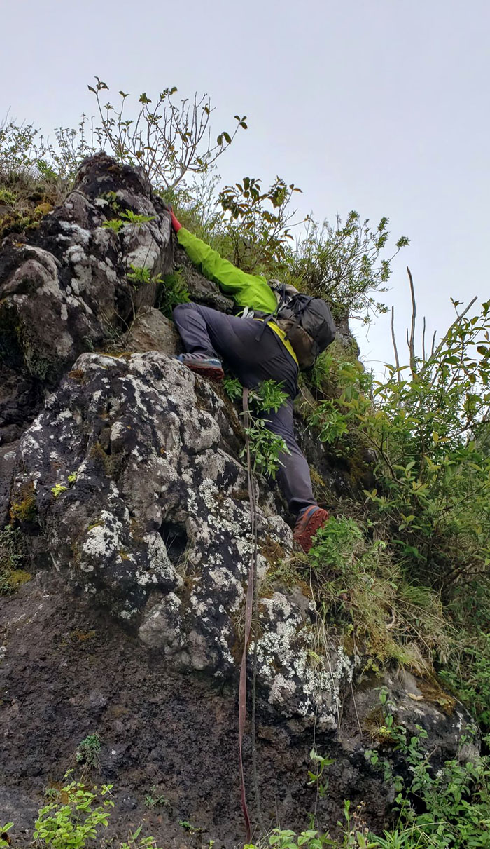
Cisco coming down a small cliff while Janell spots him.
Bear Claw Left Fork
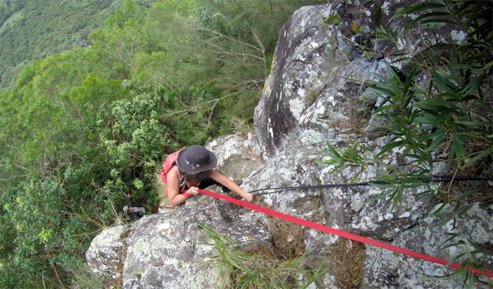
Janell climbing down the hardest part of the ridge. Photo by Ferlino Carinio.
Bear Claw Left Fork
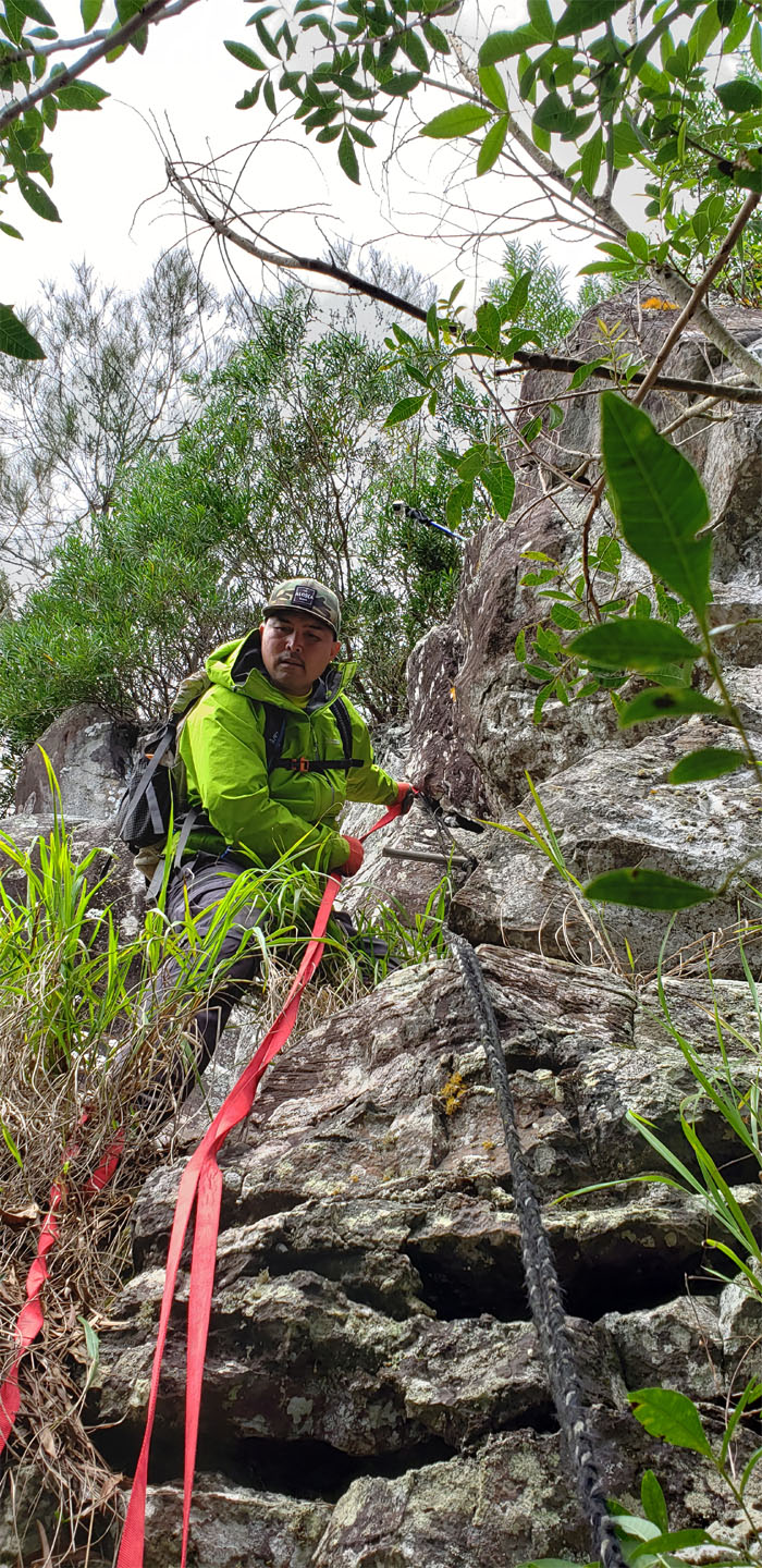
Cisco pondering his next move.
Bear Claw Left Fork
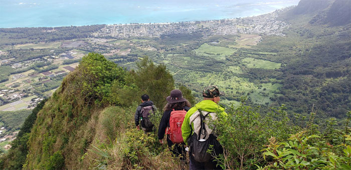
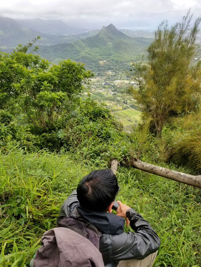
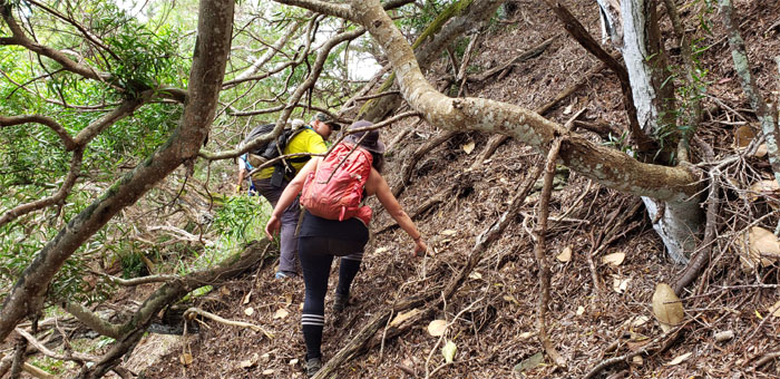
Enjoying the views of Waimanalo and beyond on our way down. Photo by Ferlino Carinio.
Bear Claw Left Fork
We took a slight detour to experience the express slide short of the cliff. Photo by Charlie Antonio.
Look Ma No Hands
Charlie’s turn coming down. Photo by Janell Tuttle.
Bear Claw Left Fork
Making our way down the trail to the power lines and water tank.
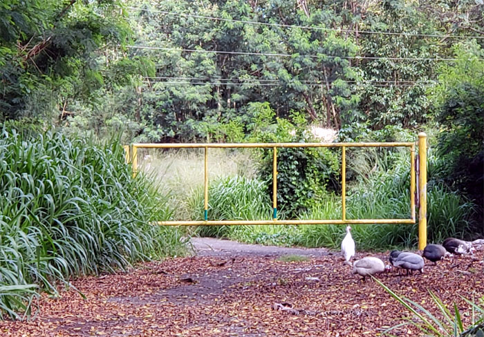
BOWS
“You are being recorded. And the police have been notified. Leave immediately.” We are also recording as well.
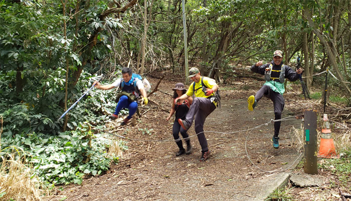
Synchronized Jumping
Not everybody was on the same page.
All pau
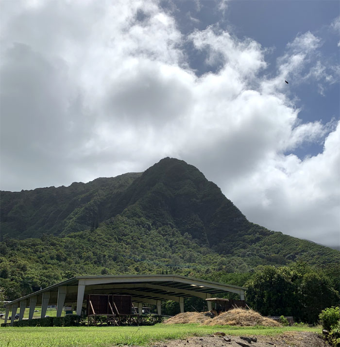
We ended our hike on the grounds of Hilltop Ranch, with plump quails walking and pecking nearby, just out of cooking reach. Thanks to Jasmin for picking us up.
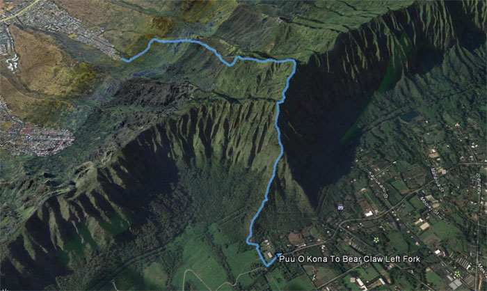
GPS Tracks
Our up and down hike barely registered at 3.13 miles, not even worth getting out of bed for, just kidding. Fun hike with a great group. Post hike meal at Pieology, where I swear the pizza and portions have somewhat shrunk in size.
Note: I have been made aware that some hikers have been using my blog as a hiking guide and getting lost on the trails. Please note that this blog was made to document the hike for the crew(s) that did it. That is why some of my comments will seem to have no relevance or meaning to anybody outside of the crew(s) that hiked that trail. My blog was never meant as a hiking guide, so please do not treat it as such. If you find inspiration and entertainment from these hikes, that is more than enough. If you plan on replicating these hikes, do so in the knowledge that you should do your own research accordingly as trail conditions, access, legalities and so forth are constantly in flux. What was current today is most likely yesterdays news. Please be prepared to accept any risks and responsibilities on your own as you should know your own limitations, experience and abilities before you even set foot on a trail, as even the “simplest” or “easiest” of trails can present potential pitfalls for even the most “experienced” hikers.
{ 0 comments… add one now }