
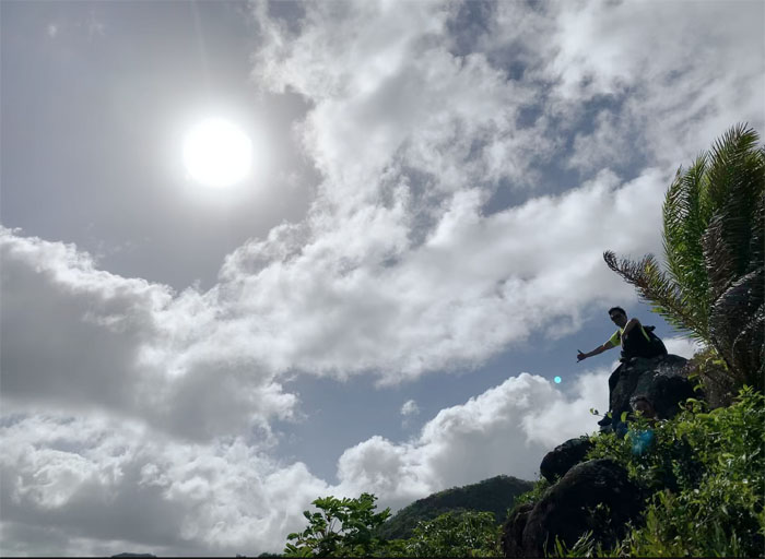
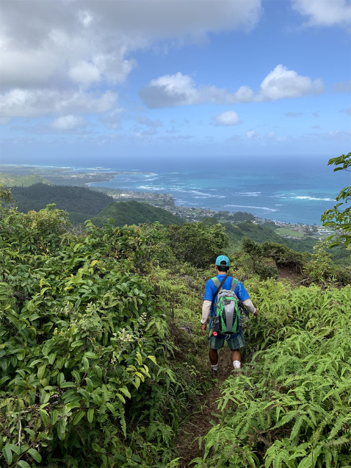
Some folks wanted to visit the peak in the areola of the mountains of Hau’ula otherwise known as Pu’u Waiahilaahila. Photo by Dale Yoshizu.
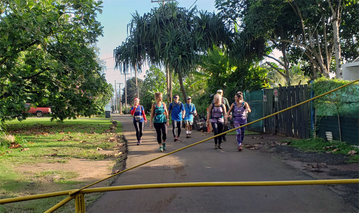
Hau’ula Homestead Road
Met up with Aida, Analyn, Ani, Cisco, Dale, Janell, Jennifer, Katie, Kip, Margaret, Petra, Quan, Robin and Sally at Hau’ula Beach Park and walked down the lane of barking dogs.
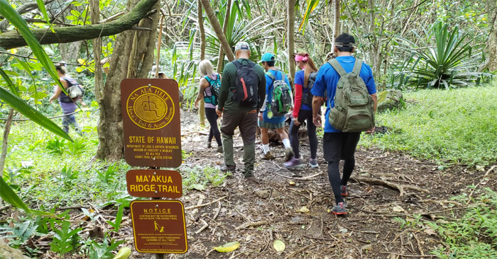
Ma’auka Trailhead
We are not going to Papali.
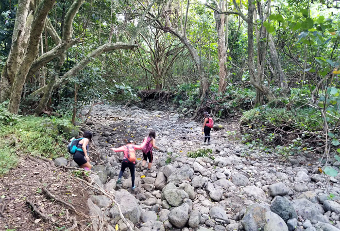
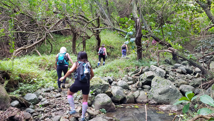
Streambed
Rock hopping our way across the bed, minus the water. Photo by Aida Gordon.
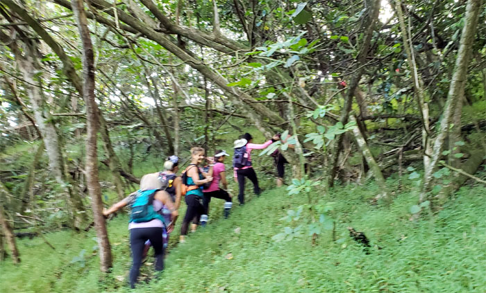
Ma’uka Trail
The calm before the storm.
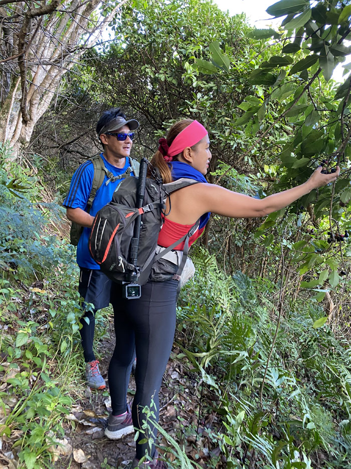
Java Plum
Analyn picking up some trail snacks.
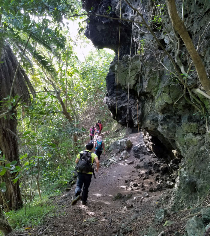
Ma’uka Trail
Passing a rock climber’s wet dream or worst nightmare. Photo by Ani Lagpacan.
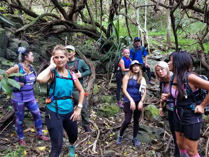
Trail finding
Somebody was cussing up a storm. And it wasn’t Mother Nature. Photo by Sally Chow.
Trail
Back on the ribboned trail.

Trail
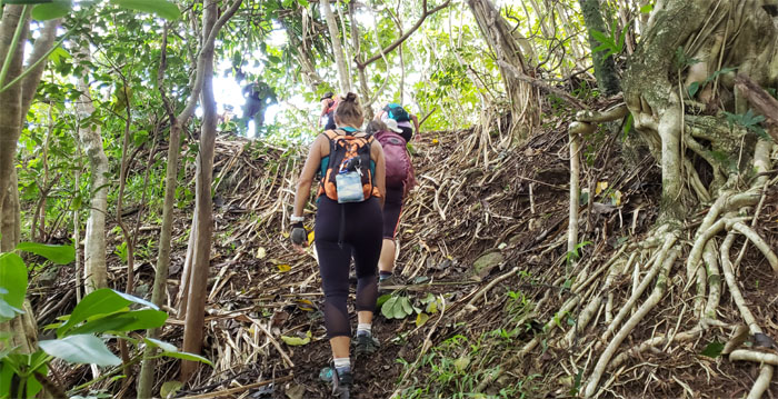
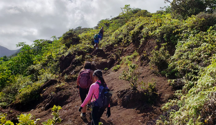
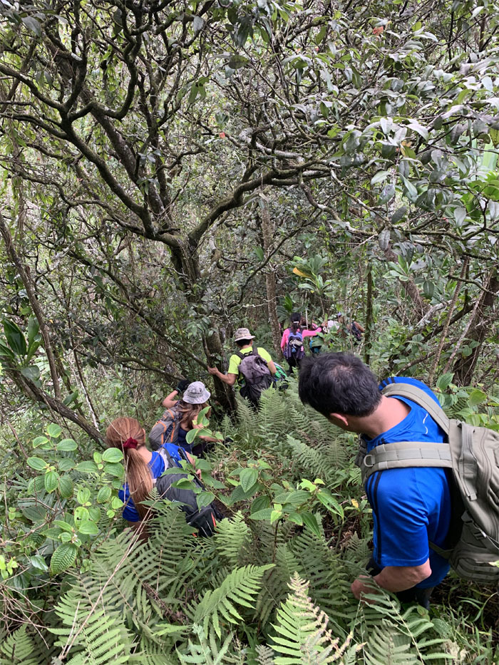
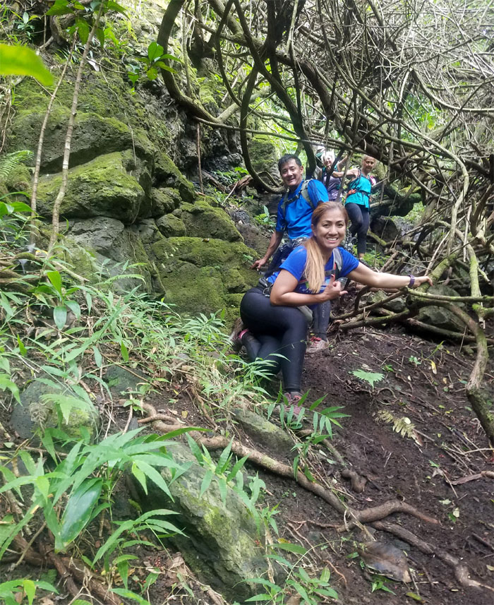
We were deciding to go down this trail as it seemed impassable in terms of overgrowth, when another storm warning was issued. Photo by Jennifer LaRochelle.
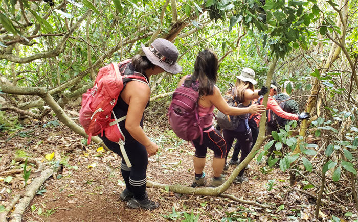
Trail
Cisco scouted ahead and reported that the trail looked passable, so down we went.
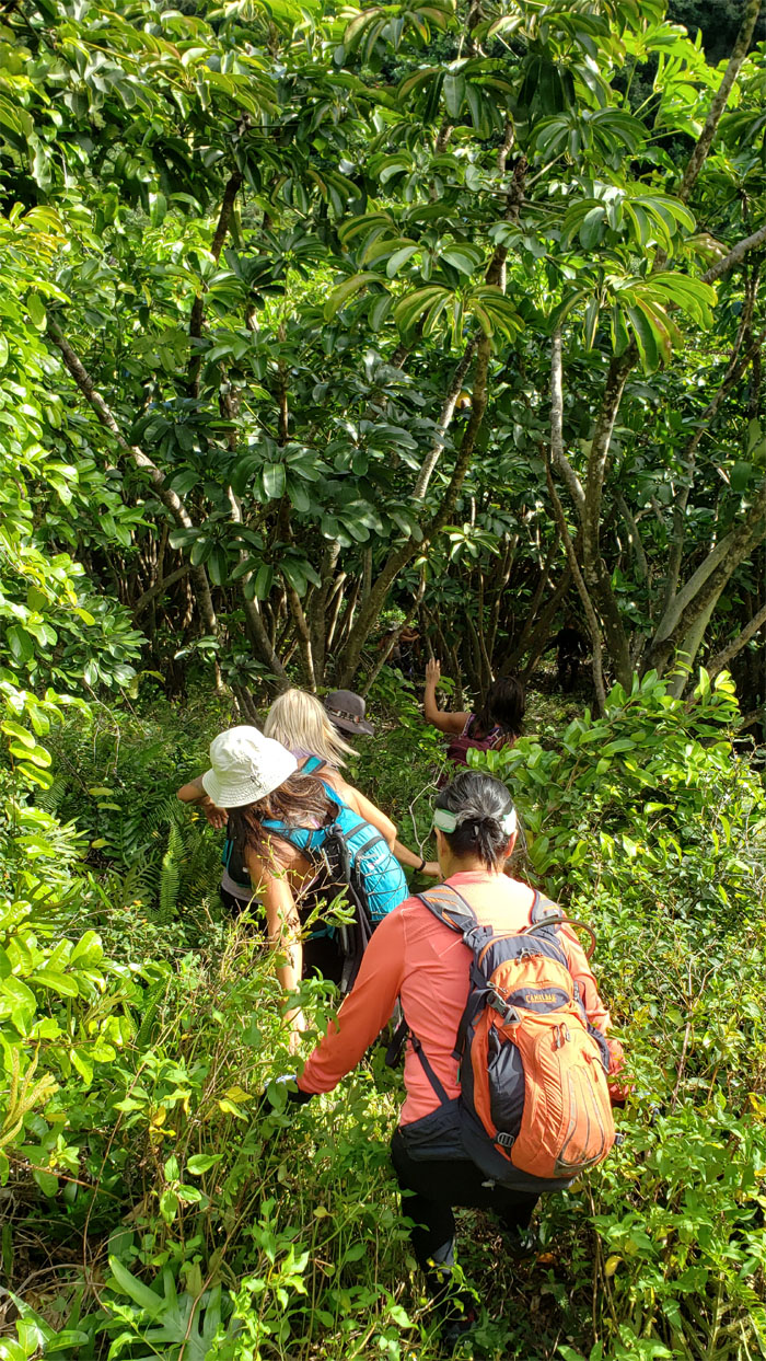
Trail
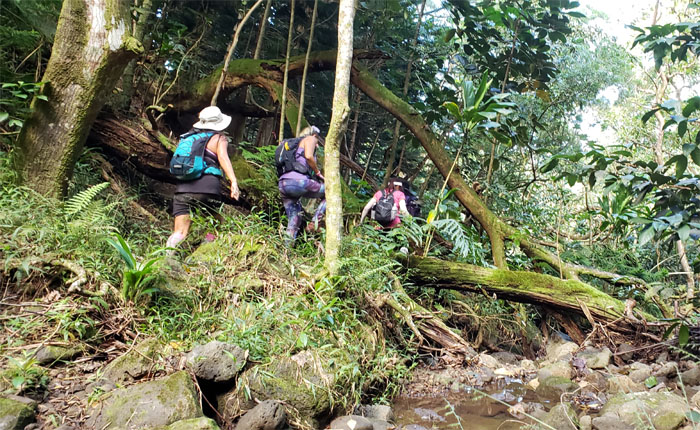
Going down the steep hill into the gulch.
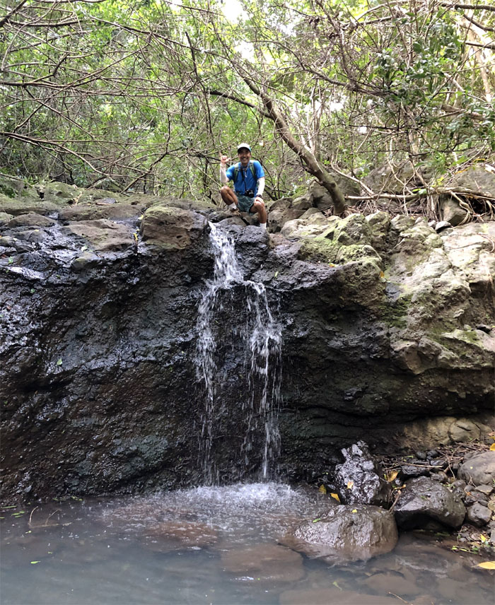
Waterfall
Dale on top of the waterfall that somebody was talking about. Perhaps not this one. Photo by Sally Chow.
Trail
Climbing out of the gulch.
Lookout
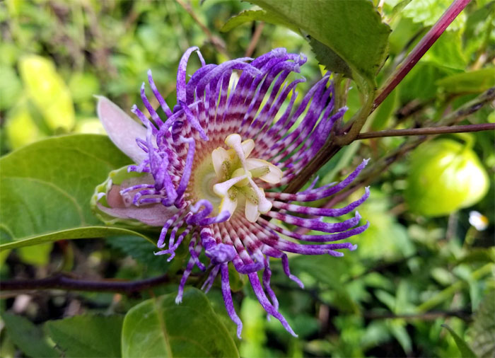
We ran across a farmer tending and protecting his solar powered patch of …
Flower of the Five Wounds
… non self-pollinating purple passion flowers. Or was it pakalolo? Photo by Sally Chow.
Trail
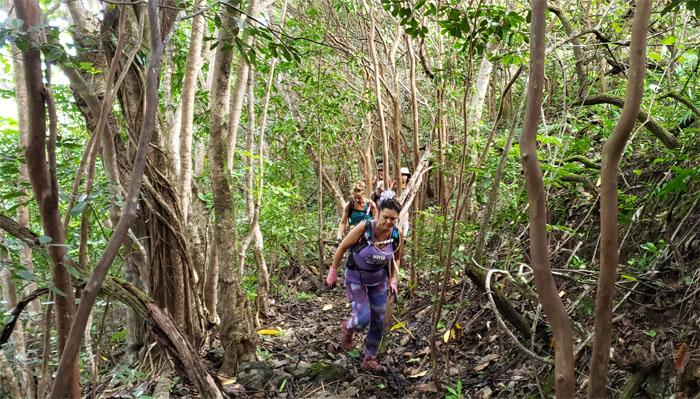
We retreated from the top where the impassable overgrowth prevented forward movement and found the contour trail below the ridge.
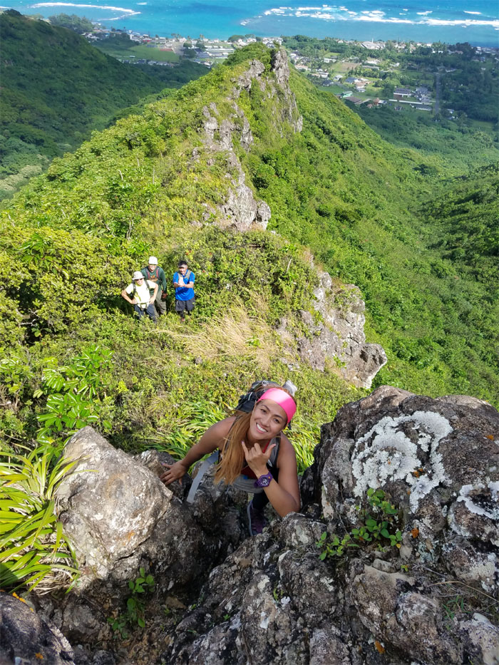
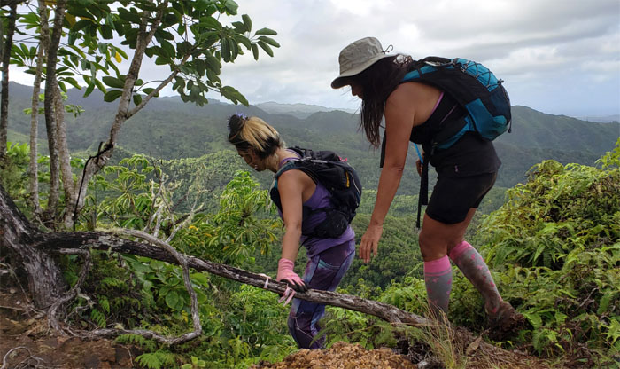
Punaiki Ridge
Climbing through the break in overgrowth to finally gain the ridge. Photo by Petra Raser.
Punaiki Ridge
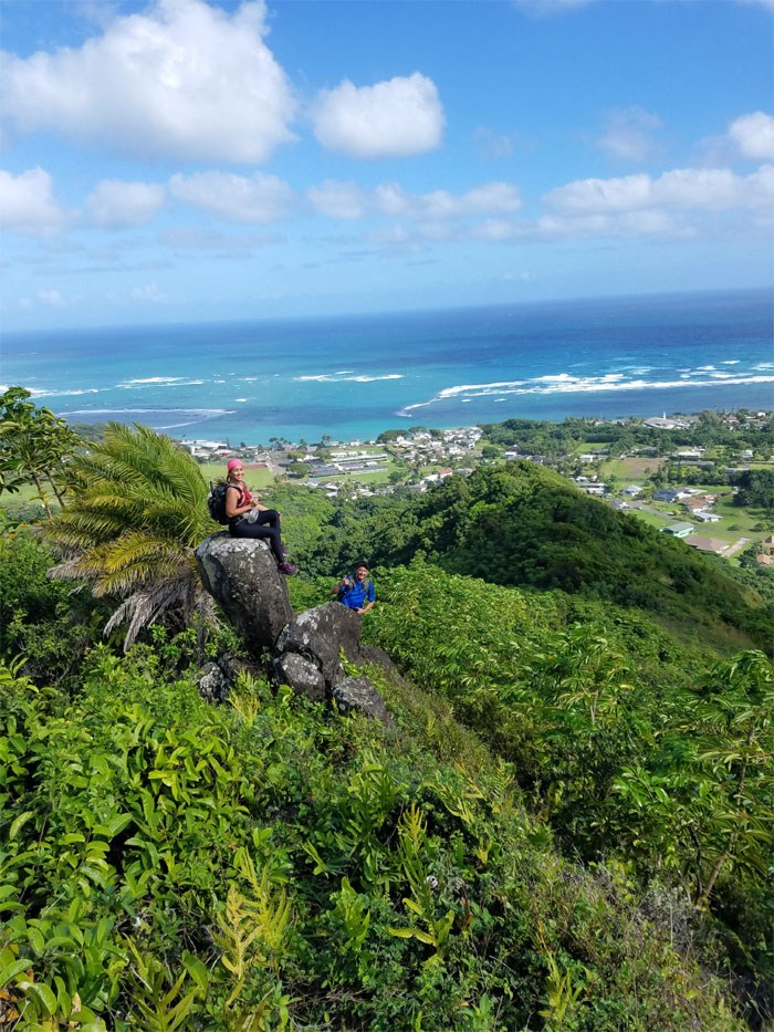
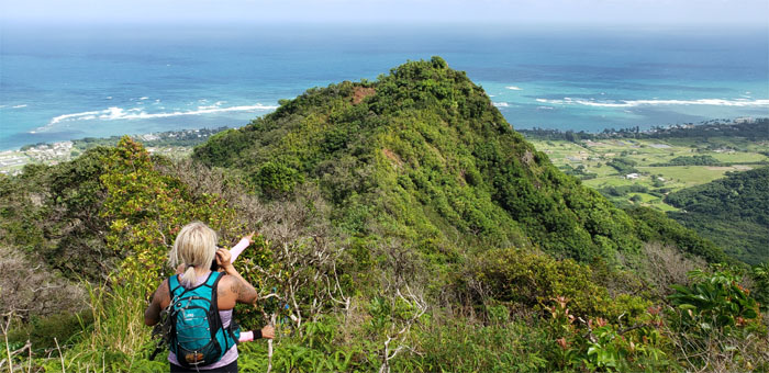
Looking back at Analyn, Kip and the town of red trees. Not necessarily in that order. Photo by Ani Lagpacan.
Punaiki Ridge
The winds picked up on the ridge about the same time the storm warning expired. Photo by Sally Chow.
Punaiki Ridge
Somebody was elated to finally discover the difference between riding a dyke and hiking a dike.
Punaiki Ridge
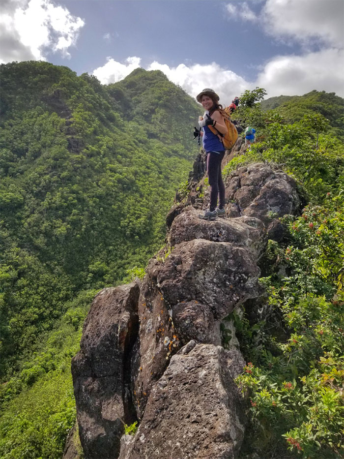
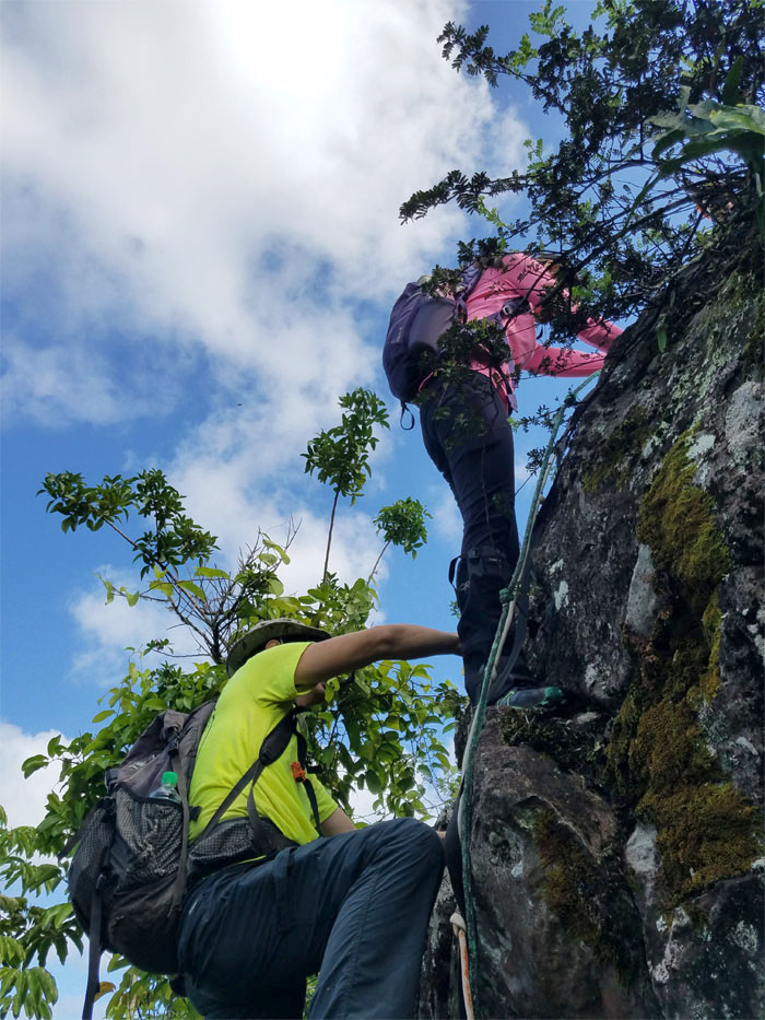
Ani multi-tasking on the dike, climbing and posing. Photo by Aida Gordon.
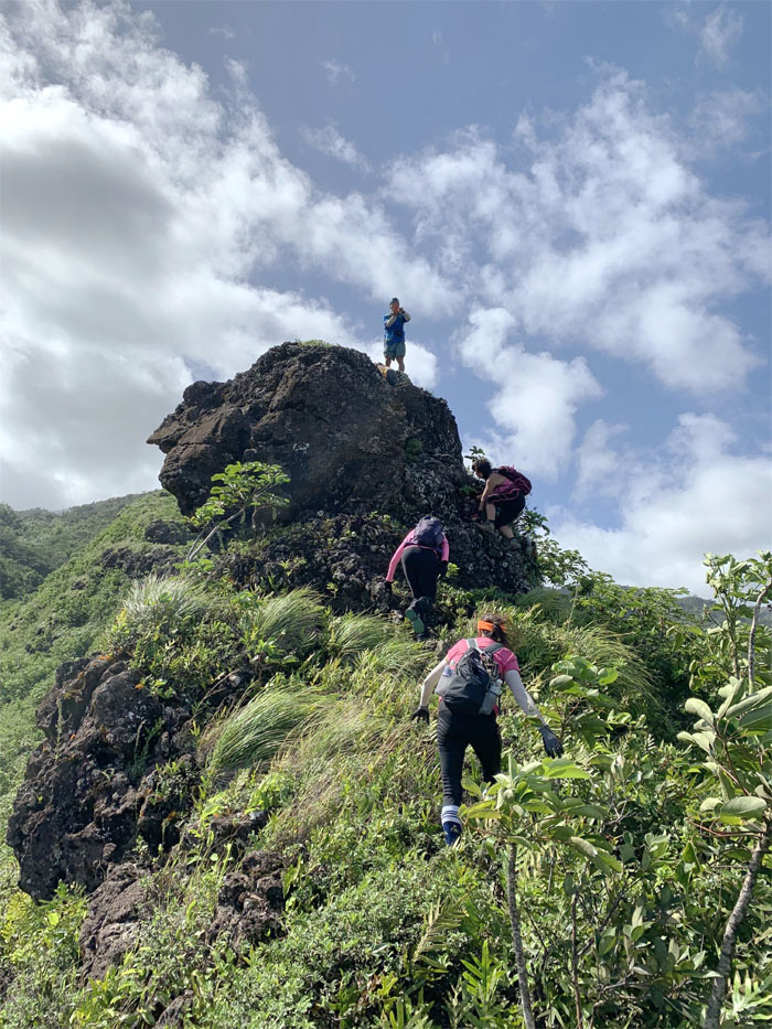
Punaiki Ridge
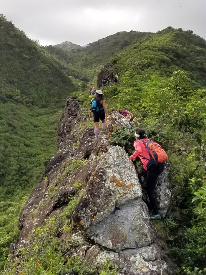
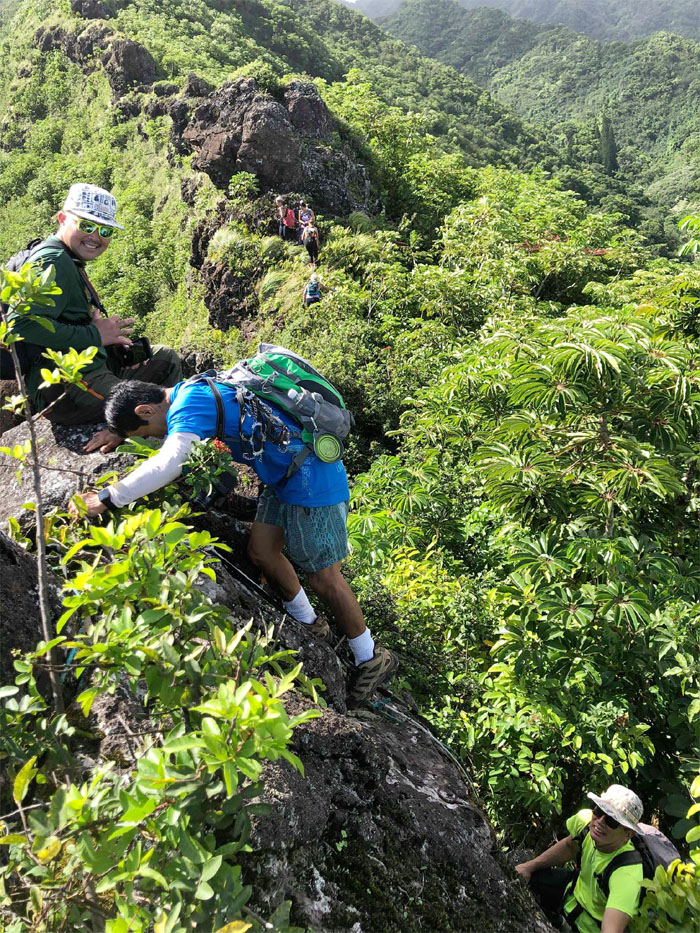
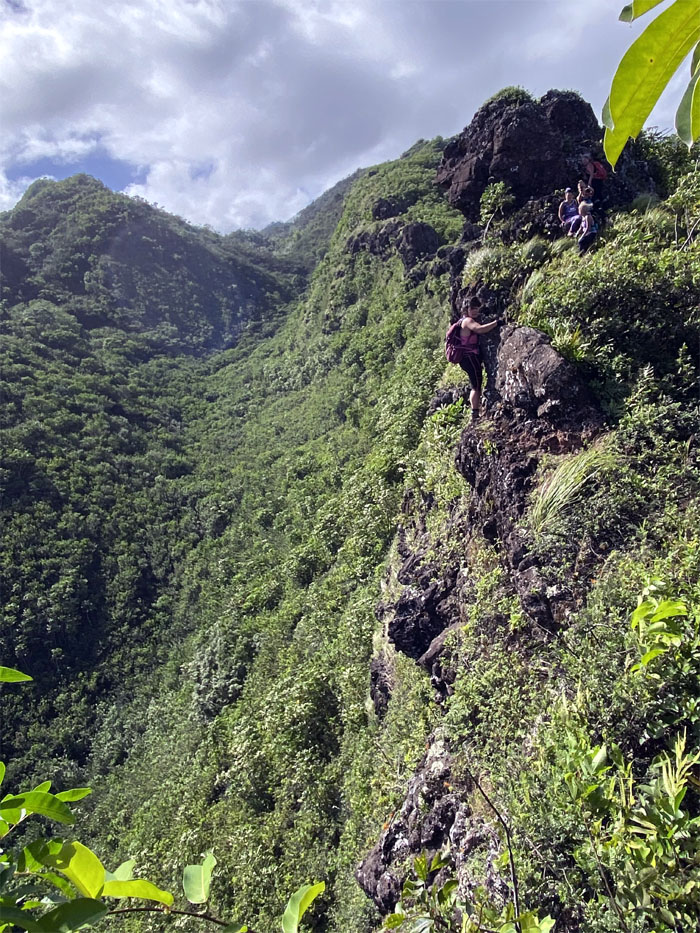
Climbing and contouring on the geological sheet of rock.
Punaiki Ridge
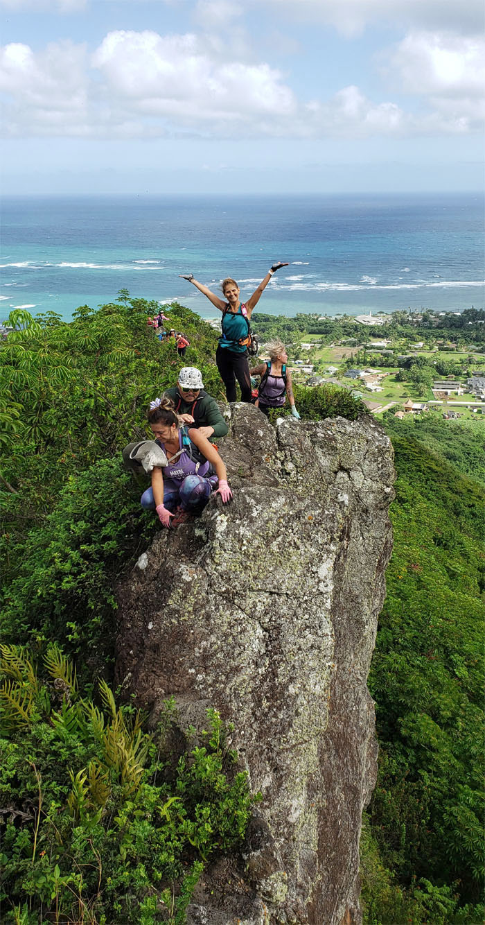
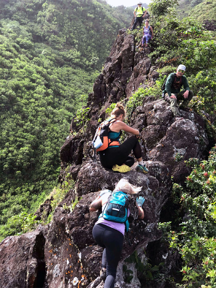
Katie climbing up the ridge while Petra sit blocks her. Photo by Margaret Wilson.
Punaiki Ridge
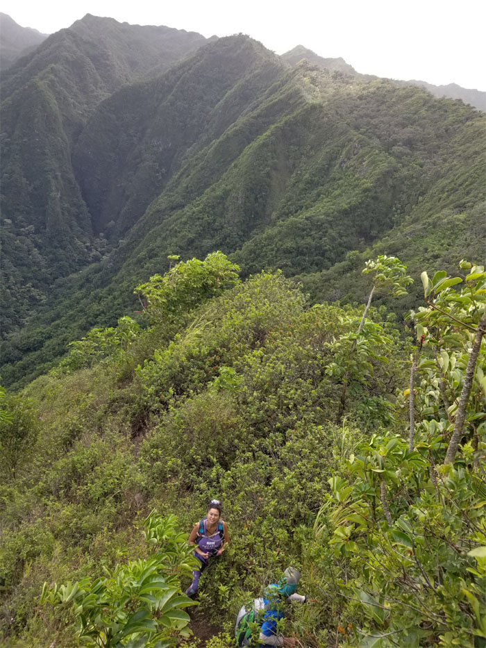
What’s down there? The bottom. Photo by Margaret Wilson.
Punaiki Ridge
Dale climbing down. Photo by Margaret Wilson.
Punaiki Ridge
Aida making her way down. Photo by Ani Lagpacan.
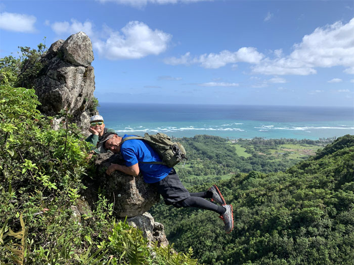
Boto Rock
Squeezing it to prevent premature excitement from spilling out. Photo by Aida Gordon.
Punaiki Ridge
Quan hugging the boulder tightly as she contours around the ridge. Photo by Dale Yoshizu.
Punaiki Ridge
Amusement and bemusement. Photo by Analyn Baliscao.
Punaiki Ridge
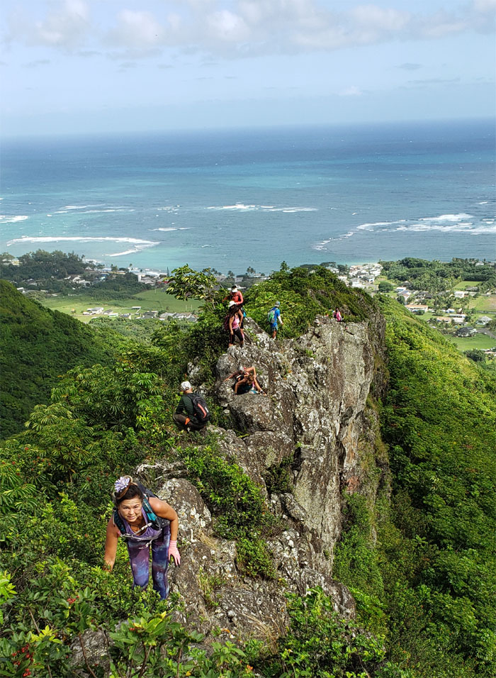
Some minor rock scrambling was still ahead of us.

Punaiki Ridge
Looking back as the ridge took on a wider approach. Photo by Jennifer LaRochelle.
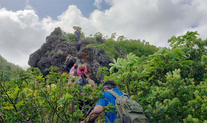
Punaiki Ridge
Coming up to the last rock scramble left on the ridge.
Punaiki Ridge
Progress halted. Photoshoot in progress. Photo by Ani Lagpacan.
Punaiki Ridge
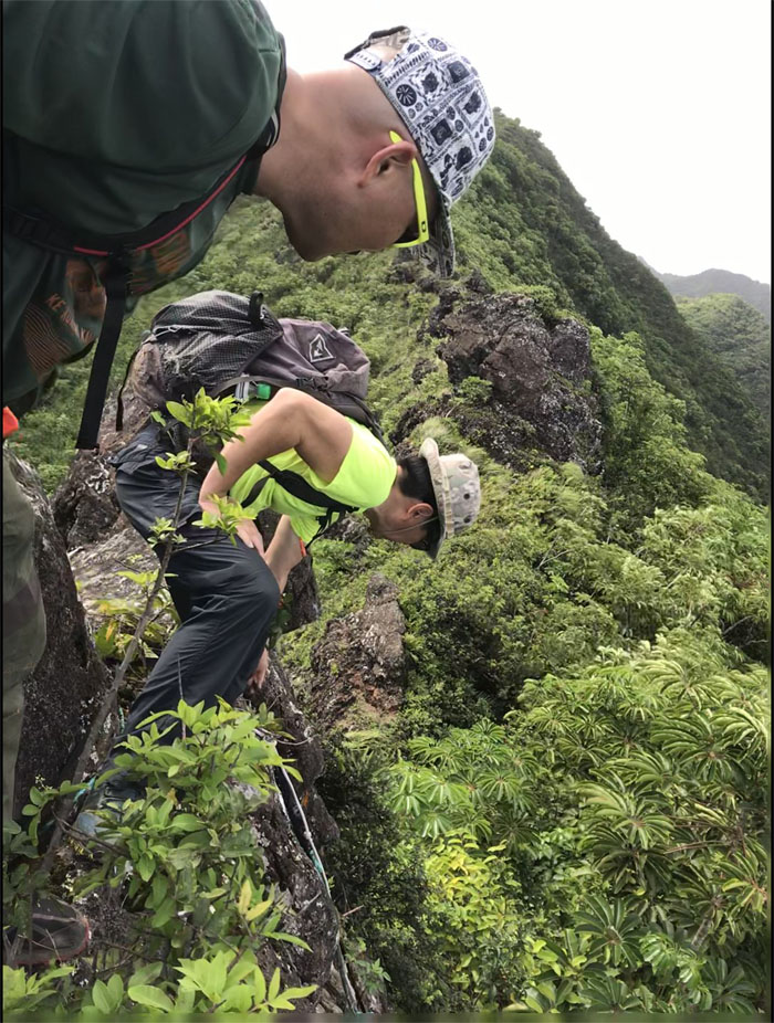
Crossing an eroded section to get to another eroded section.
Punaiki Ridge
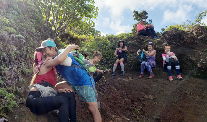
Analyn getting lei’d by Dale. Ani and Quan stayed behind to babysit my empty can of Coke while the rest of us resumed our hike.
Trail
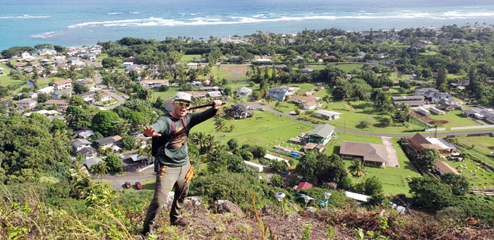
Dale pointing out the direction that we needed to go, if some of the group had continued on their direction, another storm would have erupted.
Trail
The location of Sacred Falls was marked by the constant buzzing of tour choppers plying their trade back and forth into the valley. Photo by Aida Gordon.
Pu’u Waiahilaahila
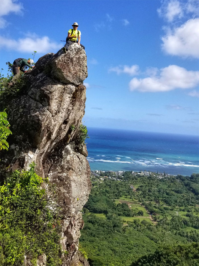
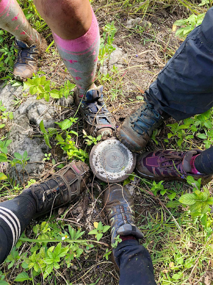
We made it to the 1,246′ summit. All 15 square feet of it. Or something close to that. Photo by Robin Farr.
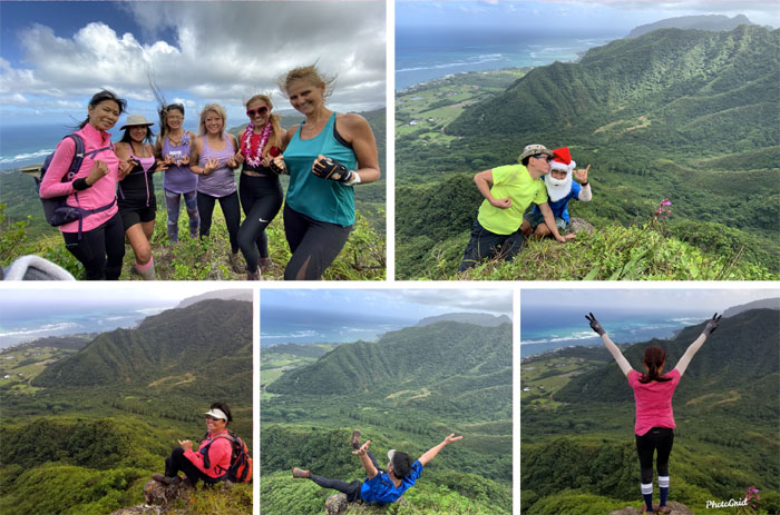
Pu’u Waiahilaahila
Tweaking it and kissing Santa Claus. What happens on the nipple, stays on the nipple.
Pu’u Waiahilaahila
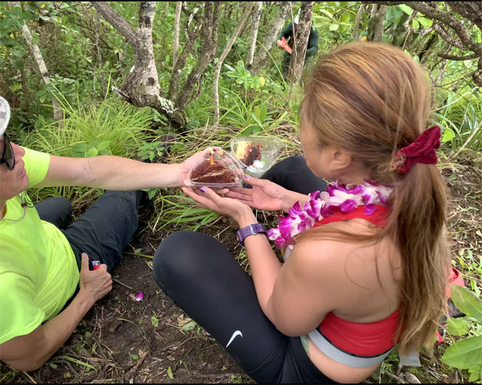
The Chantilly cake I had carried came out somewhat worse for wear, but it’s the thought that counts. Right? Happy Birthday Analyn! Photo by Petra Raser.
Pu’u Waiahilaahila
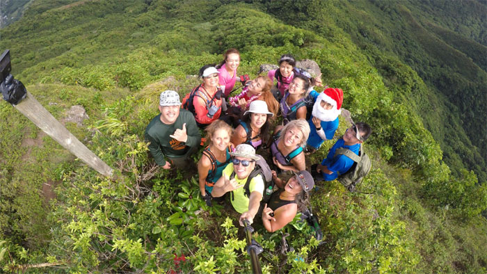
Bird’s eye view of the postage stamp sized summit. Anymore and we would have to start kicking people off to make room.
Trail
Dale making his way back to the eroded spot where Ani and Quan were waiting.
Junction
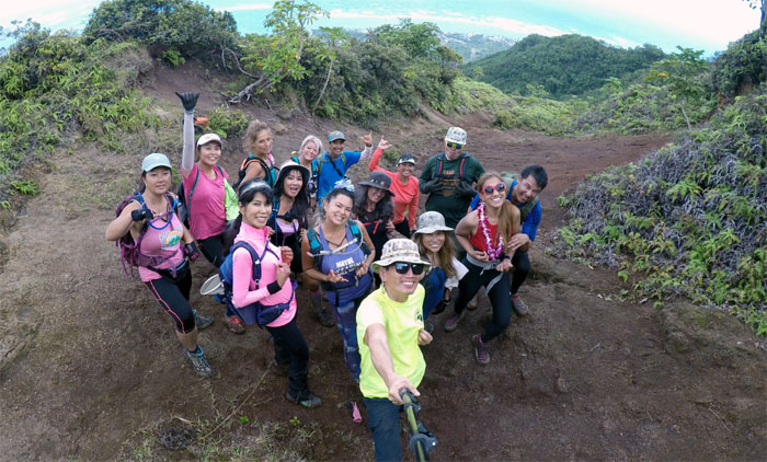
Not everybody was a team player in our group photo.
Junction
Two pink ribbons marked the spot to go down.
Trail
The top slope was steep and overgrown coming down. Photo by Petra Raser.
Trail
The bottom slope was slippery with assorted rocks and low hanging branches. Photo by Ani Lagpacan.
Trail
Connecting back to the loop trail.
Trail
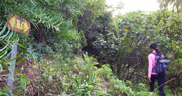
Aida passing the hiker sign on her way down back to the streambed.
All pau
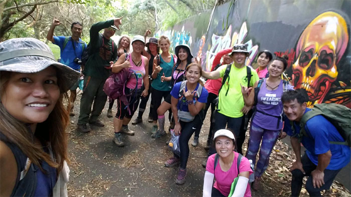
We survived our 4.86 mile hike through valleys, ridges and summits despite storm outbursts and windy dykes. Group photo by Ani Lagpacan, left to right: Ani, Dale, Cisco, Katie, Quan, Janell, Petra, Margaret, Analyn, Robin, myself, Sally, Aida, Jennifer and Kip. Post hike meal at Papa Ole’s where ordering first doesn’t mean you get your food first.
Note: I have been made aware that some hikers have been using my blog as a hiking guide and getting lost on the trails. Please note that this blog was made to document the hike for the crew(s) that did it. That is why some of my comments will seem to have no relevance or meaning to anybody outside of the crew(s) that hiked that trail. My blog was never meant as a hiking guide, so please do not treat it as such. If you find inspiration and entertainment from these hikes, that is more than enough. If you plan on replicating these hikes, do so in the knowledge that you should do your own research accordingly as trail conditions, access, legalities and so forth are constantly in flux. What was current today is most likely yesterdays news. Please be prepared to accept any risks and responsibilities on your own as you should know your own limitations, experience and abilities before you even set foot on a trail, as even the “simplest” or “easiest” of trails can present potential pitfalls for even the most “experienced” hikers.
{ 2 comments… read them below or add one }
Another great write up, Kenji! I thought at first there was really a storm and I was asking myself why I missed it then I finally got what uou meant! LOL. Too funny!! ????
Aloha Aida,
Thanks! Yes the storm clouds were always on the horizon, luckily they only released twice!
Mahalo