
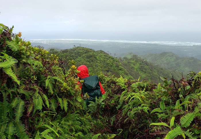
It was time to help another friend connect the dots and complete the Ko’olau Summit Trail. Photo by Cisco Quintanilla.
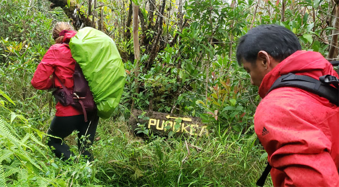
Paala Uka Pupukea Road
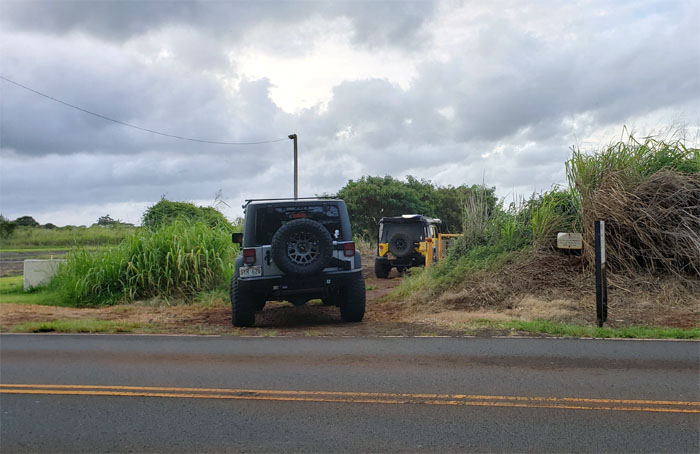
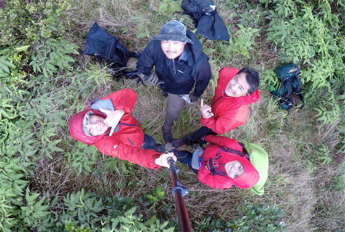
Mahalo to Quan for dropping Analyn, Cisco, Kip and myself off on the military road where our rides were waiting.
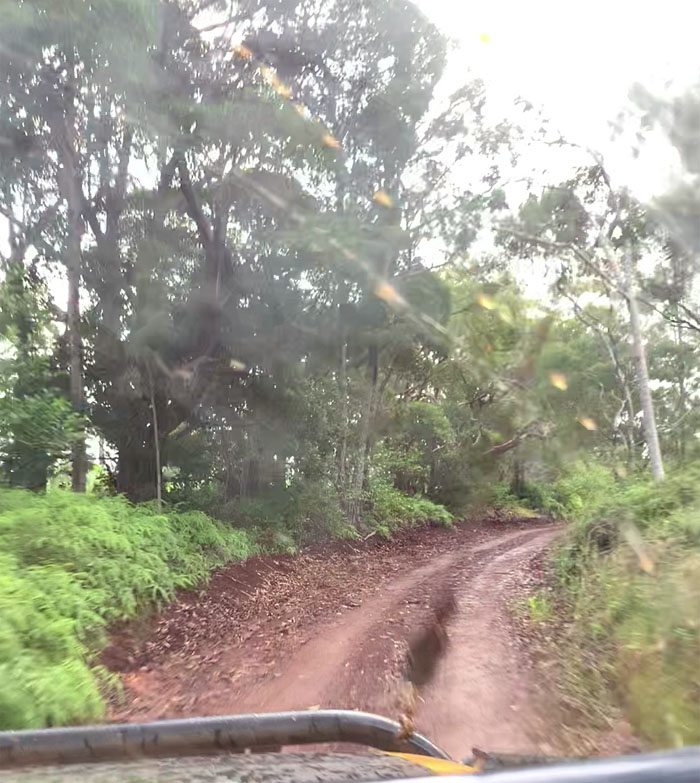
Jeep Road
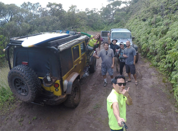
We were shaken, not stirred in Brian’s Jeep. Photo by Cisco Quintanilla.
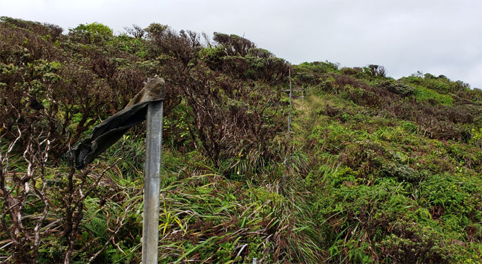
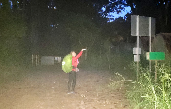
Trailhead
One jeep was muddy, the other was not. Thanks to Brian and Jason for off-roading us up to the trail.
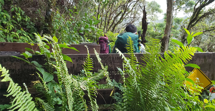
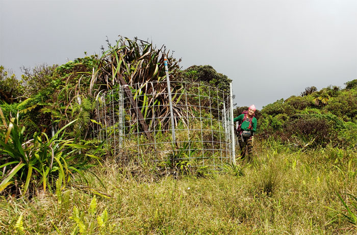
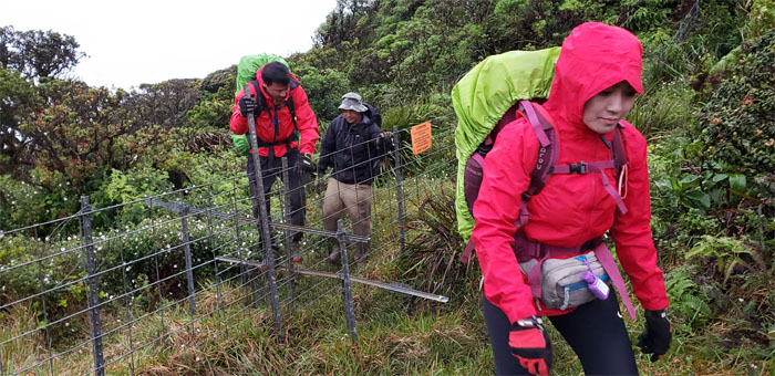
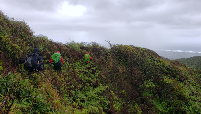
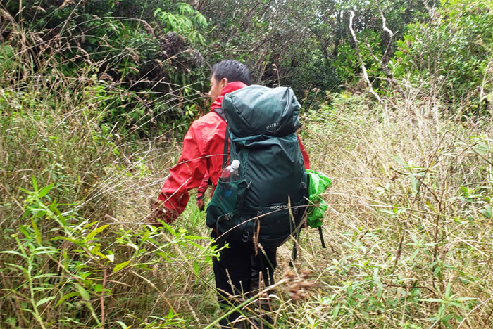
Poamoho Trail
Passing through the barricades designed to filter only humans and dogs onto the trail. It’s hard to believe that the Army once thought of paving the entire trail to the summit to allow vehicle access.
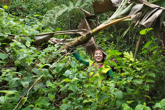
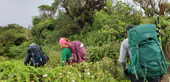
Poamoho Trail
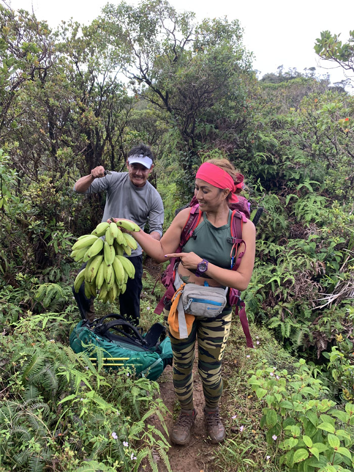
No tree shall stand in the way of Analyn getting her bananas. I would hate to be standing between her and the dessert buffet.
Poamoho Trail
How long more do I have to carry this?
Boy Scouts of America
We ran into Troop 197 who were aborting their hike down to Laie due to the troop leader not feeling well.
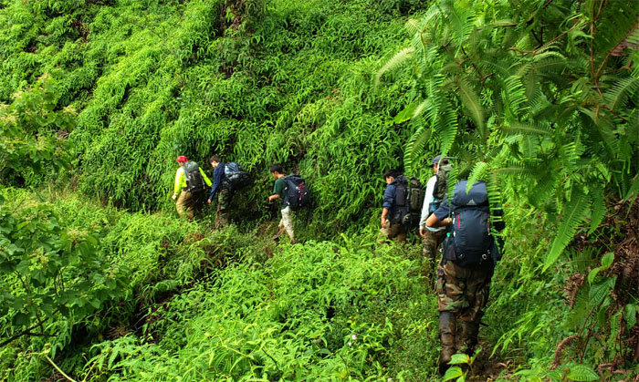
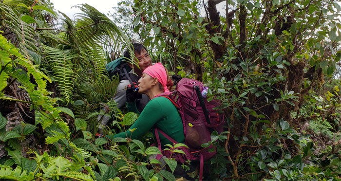
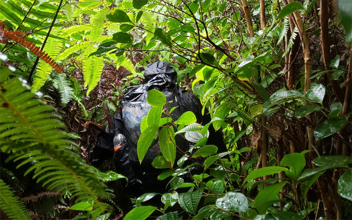
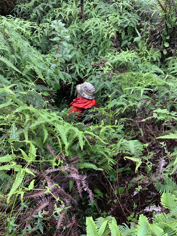
Unmaintained Trail
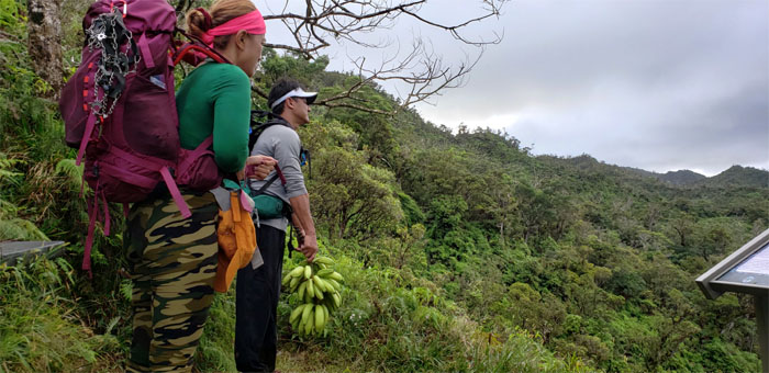
It was time to distribute the bunch of botanical berries between the group. Photo by Cisco Quintanilla.
Poamoho Trail
Heading into the gulch that was once home to the Civilian Conservation Corps (CCC) cabin that was built back in the 1930’s.
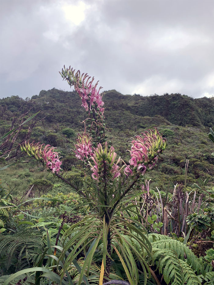
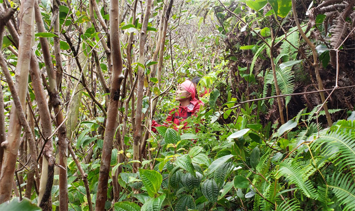
Lobelia
Is somebody excited or what?
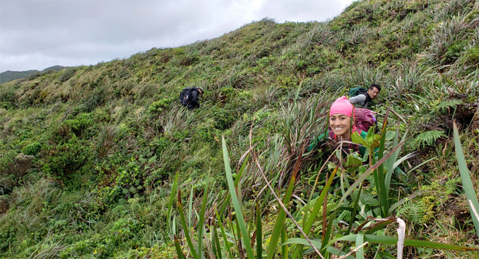
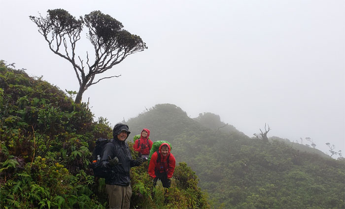
Poamoho Summit
We took our group photo on the hill above the summit where the winds were something fierce.
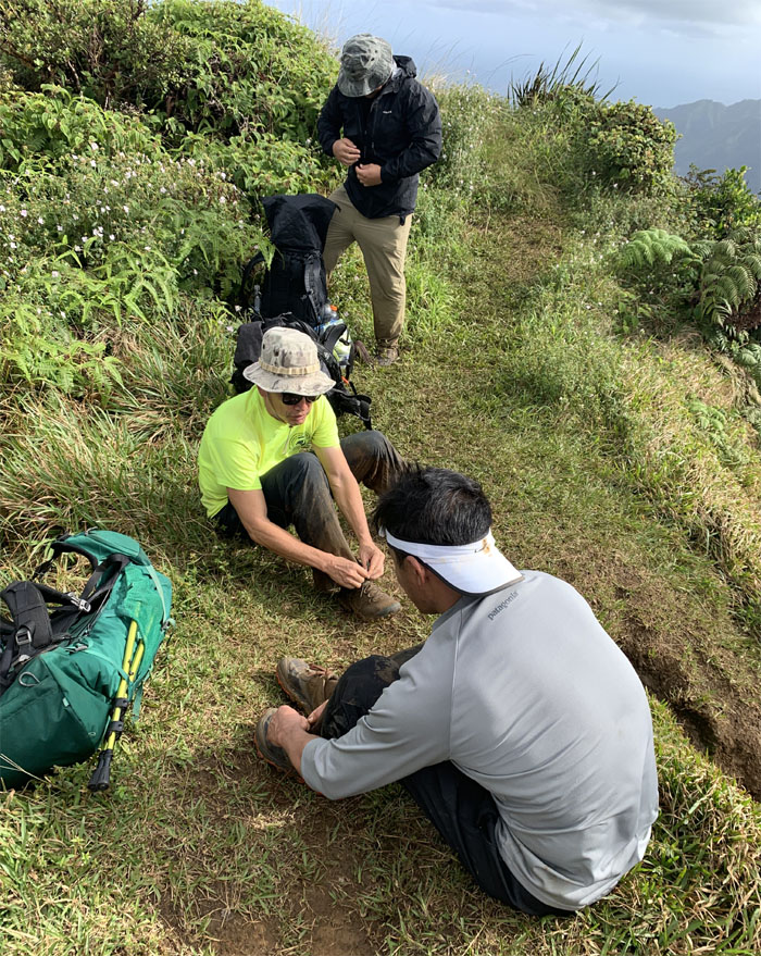
Poamoho Summit
Double knot shoe tying lesson. Please pay attention as I’ll only demonstrate it one time and one time only. Photo by Analyn Baliscao.
Poamoho Summit
Leaving the windswept summit as we started on the Leeward side of the trail that would shelter us from the biting wind.
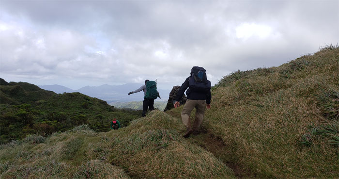
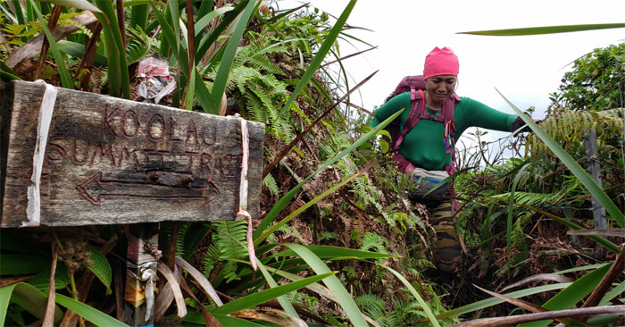
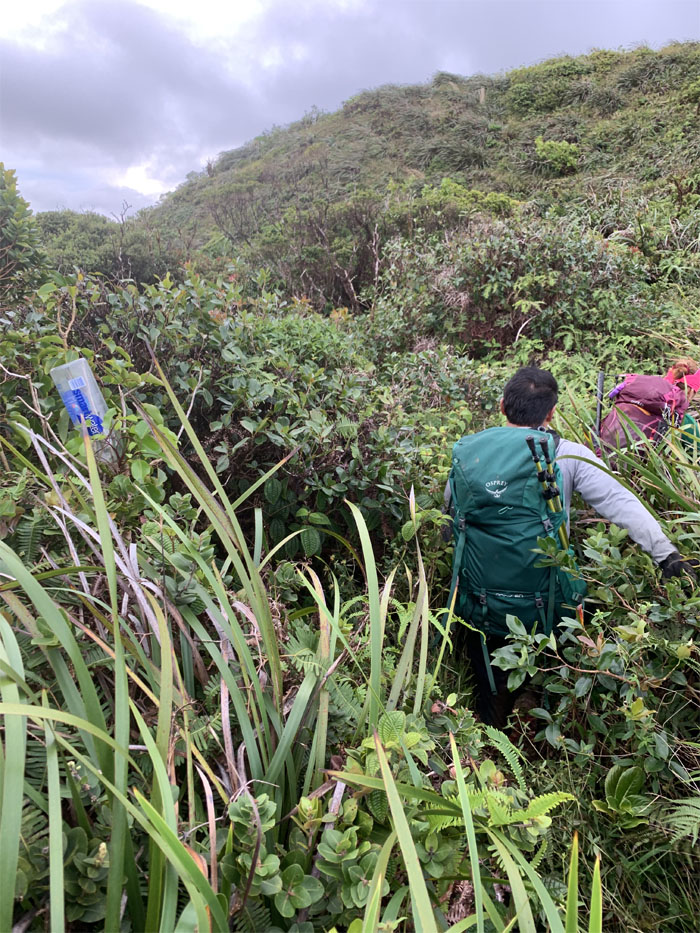
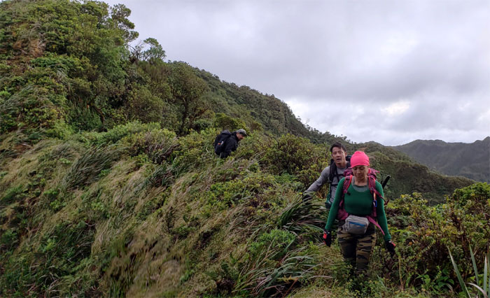
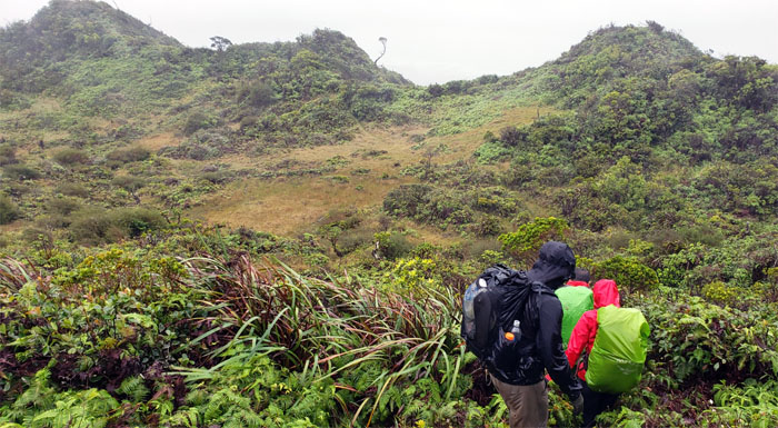
Ko’olau Summit Trail (KST)
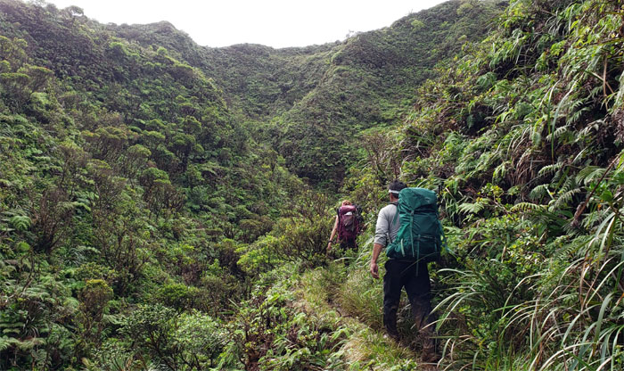
Scrambling our way over the Windward contour. The landslide has been pretty much reclaimed by Mother Nature.
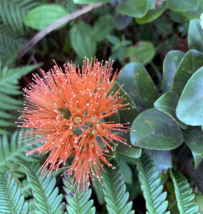
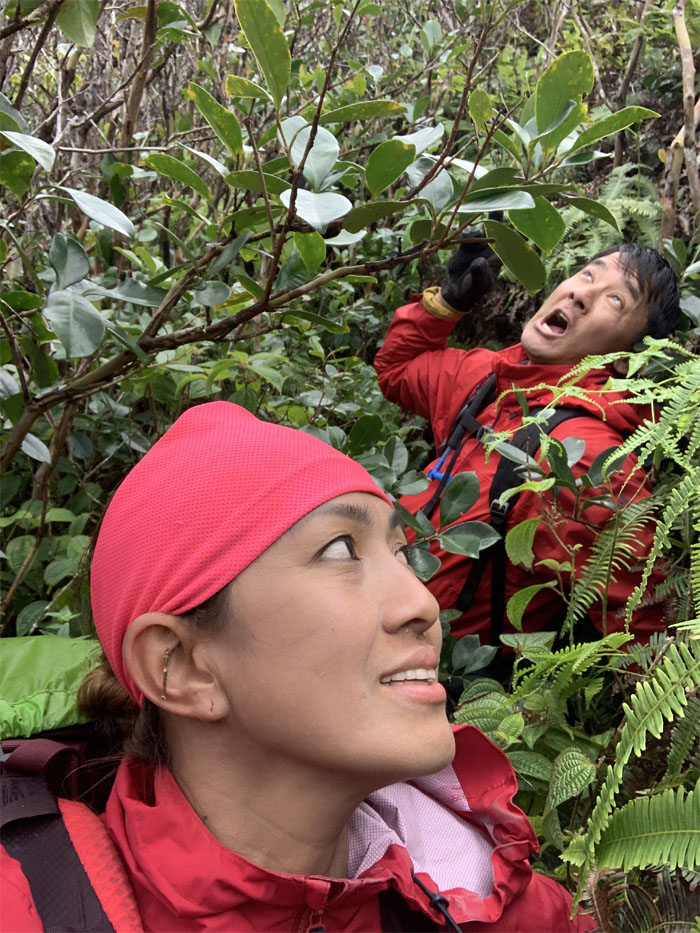
Salmon Ohi’a Lehua
Look but don’t touch. Photo by Cisco Quintanilla.
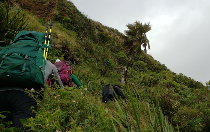
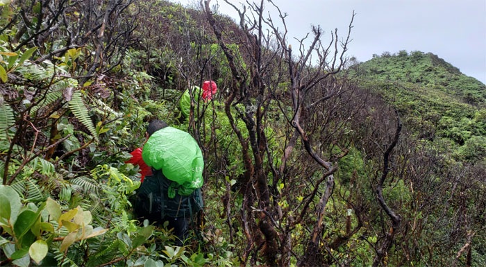
KST
Making our way on the Leeward side of the trail, where the overgrowth are slowly poised to take over the trail if traffic remains light.
Lobelia
Back on the Windward side of the trail, where the windy conditions keep the overgrowth at bay.
KST
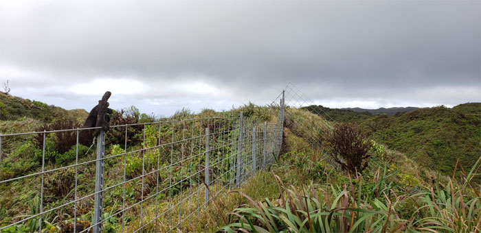
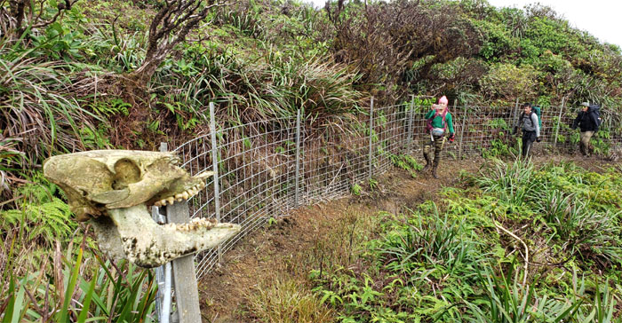
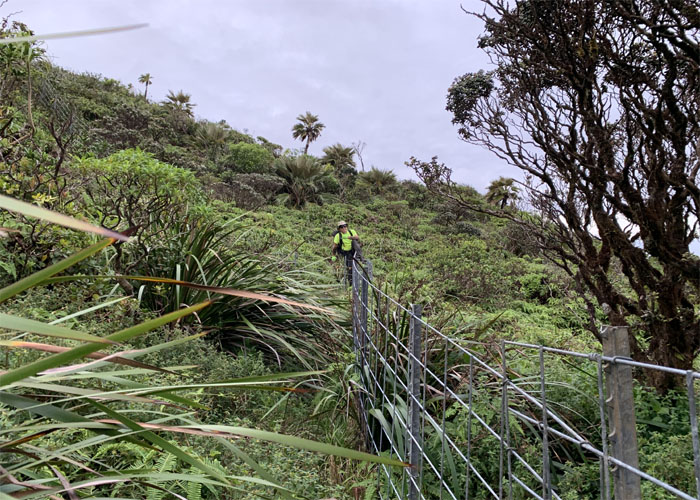
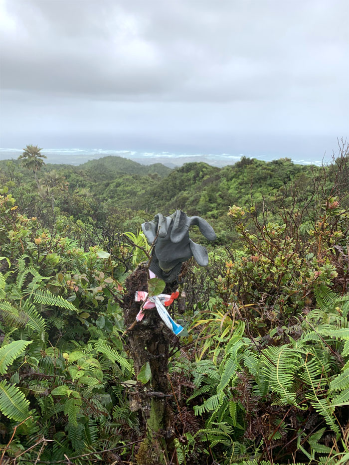
The fence line is like the washing machine of the mountains. It is where gloves, socks and boots end up.
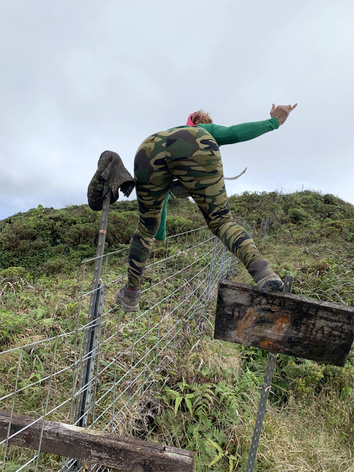
Boot Junction
Booty call. One of them needs to be replaced soon. Not saying which one. Photo by Kip Mizushima.
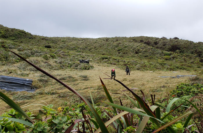
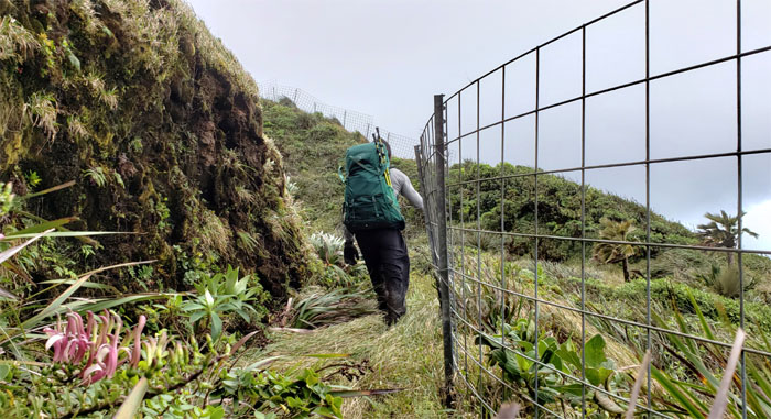
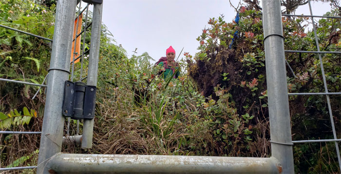
Fence Meadows
Crossing the spongy meadow to get to the other side of the fence.
KST
Climbing down into the fenced ravine.
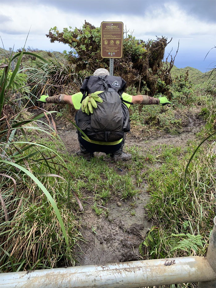
Kaluanui
Take a left to go to the cabin or take a right to see waterfalls. Choose wisely. Photo by Analyn Baliscao.
KST
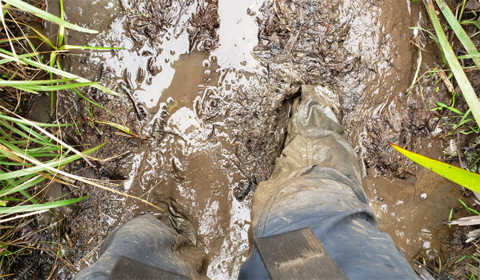
Sloshing in the mud pits. If it’s good for your face, must be good for the feet as well.
Windsock
Winds were coming from the North-East and blowing at 7 MPH. That’s what the dirty sock said.
KST
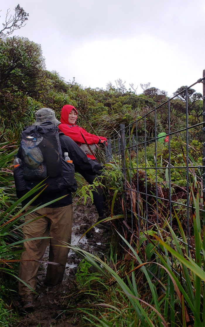
Analyn came into contact with a protruding part of the fence and suffered a poke to her leg.
KST
After being patched up by the RN on duty, we went back to our regularly scheduled program of hiking.
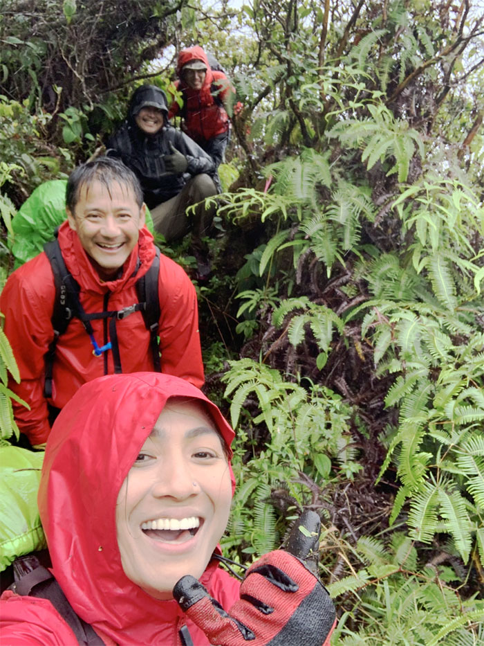
KST
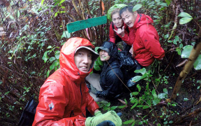
The Pig and The Lady and The Guys.
Papali Junction
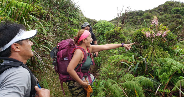
Analyn approaching the sign-less summit, where we took a short break.

KST
Cisco navigating one of the many twists and turns on the KST.
KST
Analyn suckling from Kip’s teat. I thought it was supposed to be the other way around?
Deja vu
If you see this water bottle twice, you are hopelessly lost. Photo by Cisco Quintanilla.
KST
Smiling and swimming in the overgrowth. Two contradictory actions.
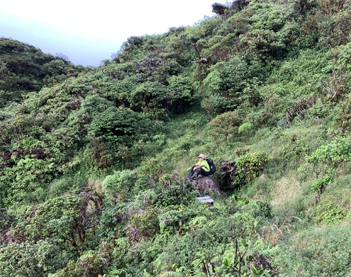
KST
Sitting on the scenic rock looking out towards the Waianae Range and surrounded by rat traps. Mountain life. Photo by Analyn Baliscao.
KST
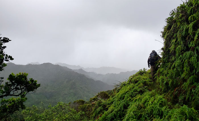
Breaking out onto the exposed ridgeline.
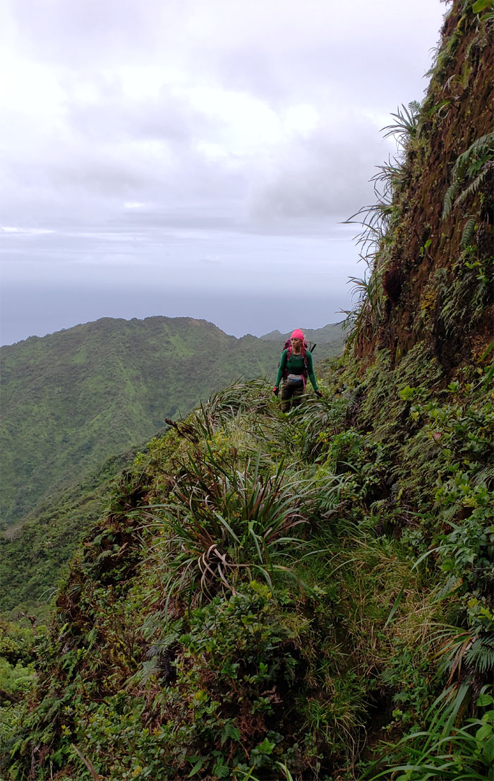
KST
Analyn rounding the corner and approaching the biggest hole on the trail.
KST
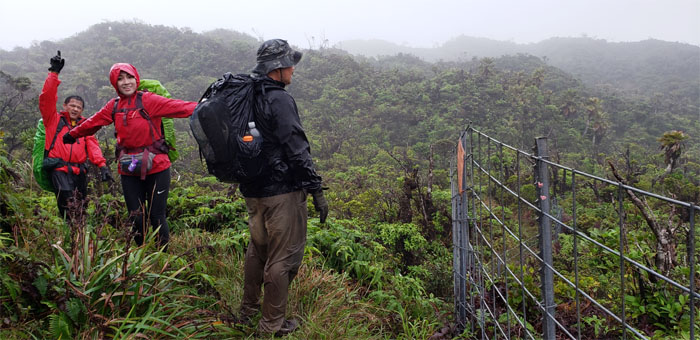
Joining back up with the fence line, which meant we were very close to the cabin.
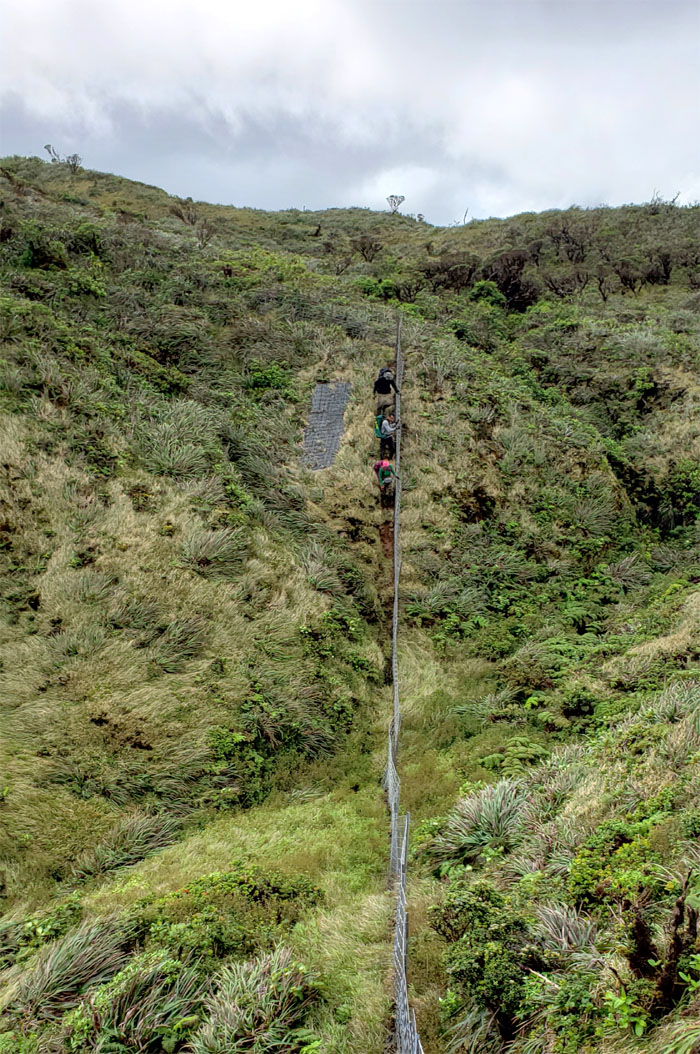
KST
Following the fence down and crossing over to our home for the night. Photo by Analyn Baliscao.
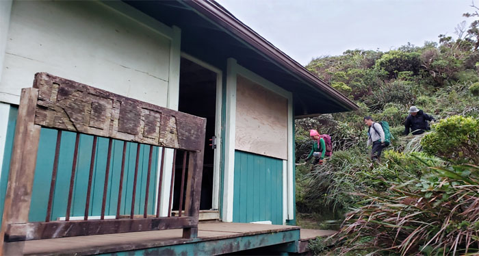
Koloa Cabin
Making our way down to the cabin. The open cabin.
Koloa Cabin
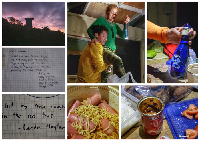
Blood with tomatoes. Sardines in tomatoes. Kim Chee noodles with Vienna sausage. Wine but no Coke. Blue orbs floating below the floorboards. Only one wasn’t edible.
Koloa Cabin
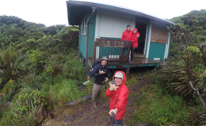
It was time to leave the cozy cabin and slip back into our still wet shoes. Wet clothing remains wet in the mountain air.
KST
Going over the fence to get back onto the trail.
KST
The muddy fenced path. Made more muddy with all the rain we got last night. Somebody refused to embrace the mud.
KST
Cisco on the exposed and graded trail carpeted with lush, green uluhe ferns.
KST
Leaving the fence line behind us.
KST
Crossing down into the bowl shaped depression between Kawailoa and Laie.
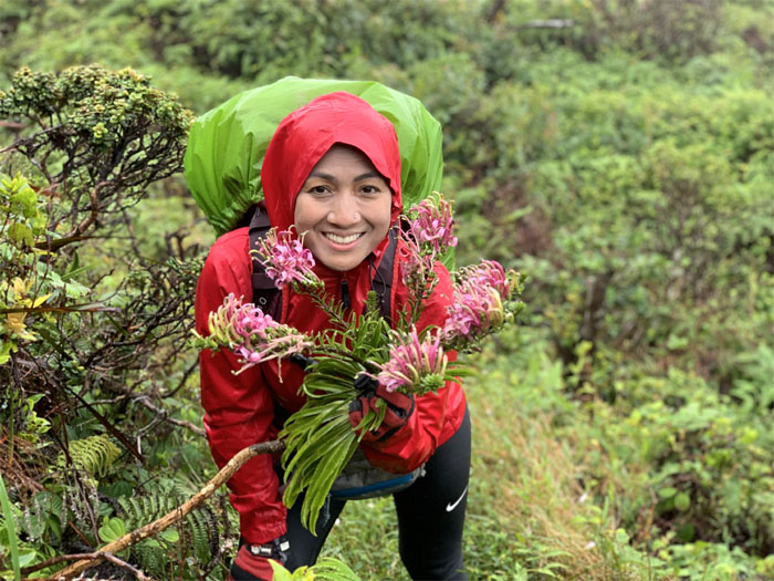
Lobelia
… where we saw patches of Koolau Range Lobelia, yes I put my face down into the bouquet of tubular flowers like the IG girls … Paraphrased from James Joyce. Photo by Kip Mizushima.
KST
Making our way to the cloudy summit. Photo by Analyn Baliscao.
Laie Summit
We hunkered down in the foxhole to escape from the cold, biting winds since we had zero views. Photo by Analyn Baliscao.
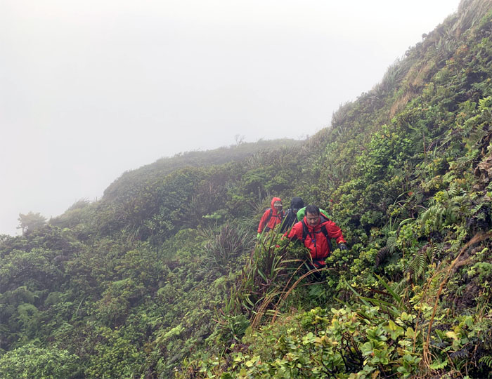
KST
The clouds, rains and winds persisted throughout the day. Typical weather found on the Northern Ko’olau Range.
KST
Cisco plunging into the tangled thicket of uluhe ferns and clidemia shrubs.
KST
Enjoying a brief respite from the overgrowth. Photo by Analyn Baliscao.
Maleakahana Junction
The glove needs to be replaced soon. Barely hanging on.
KST
Following the convoluted trail as we meandered through the mountains.
KST
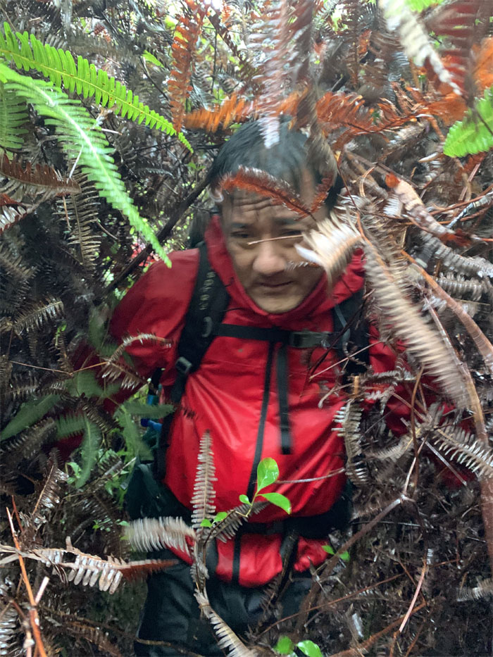
Pushing our way through the bruising corridor of hardwood trees.
Green Marker
Halfway there!
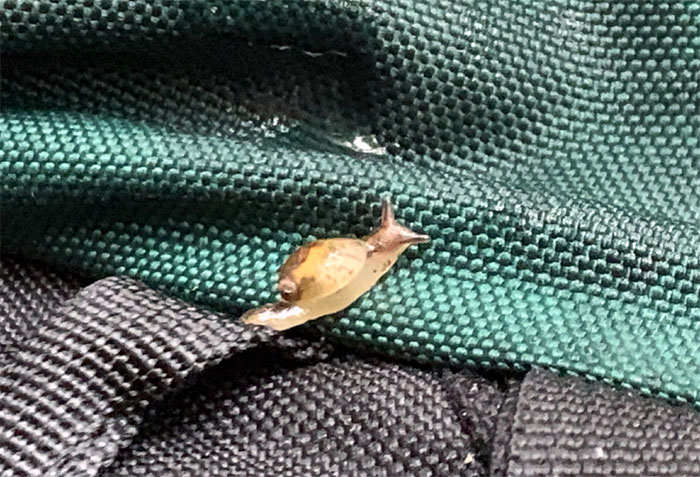
Hitchhiker
When you are in constant contact with the surrounding overgrowth, you are bound to pick up the odd gastropod on your hiking gear. Photo by Kip Mizushima.
KST
Taking a break from the jungle and catching a glimpse of the Kahuku Wind Farm.
KST
Face in the woods. Plural.
KST
Kip having the time of his life pushing through the clawing and scratching uluhe ferns. Photo by Analyn Baliscao.
V is for Victory
Or is it? This girl has talent.
KST
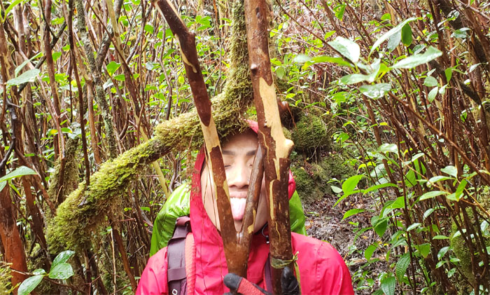
Neck deep in the uluhe ferns and strawberry guava trees.
KST
When the overgrowth drives you straight to the funny farm. These guys should know. Photo by Analyn Baliscao.
KST
The light green ferns that keep invasive foreign weeds and hikers at bay. Photo by Analyn Baliscao.
KST
Breaking out of the overgrowth and onto the semi-exposed trail.
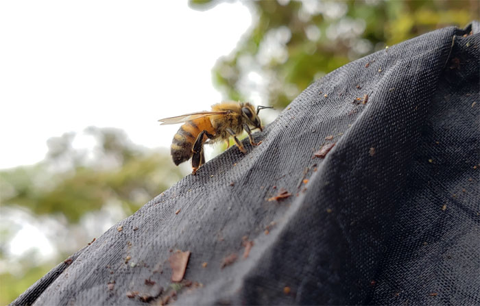
To bee or not to bee
The rain and winds looked like they tuckered this bee out who refused to fly away when nudged off my pack.
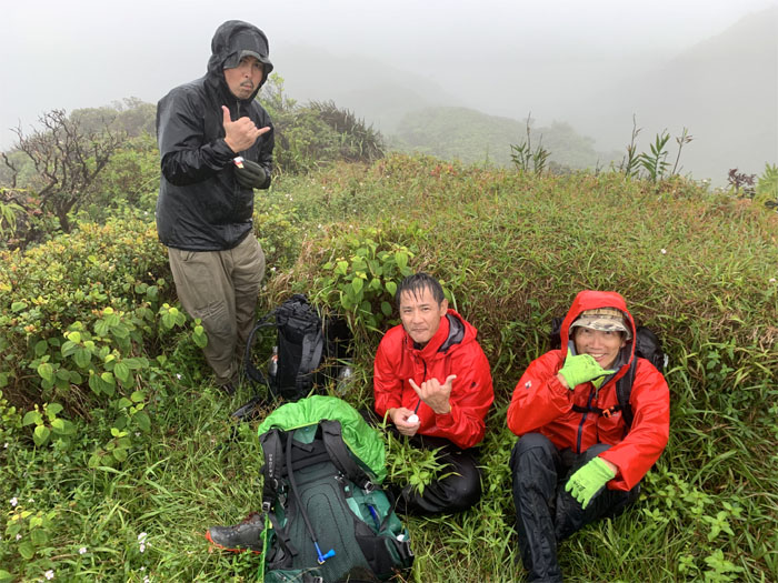
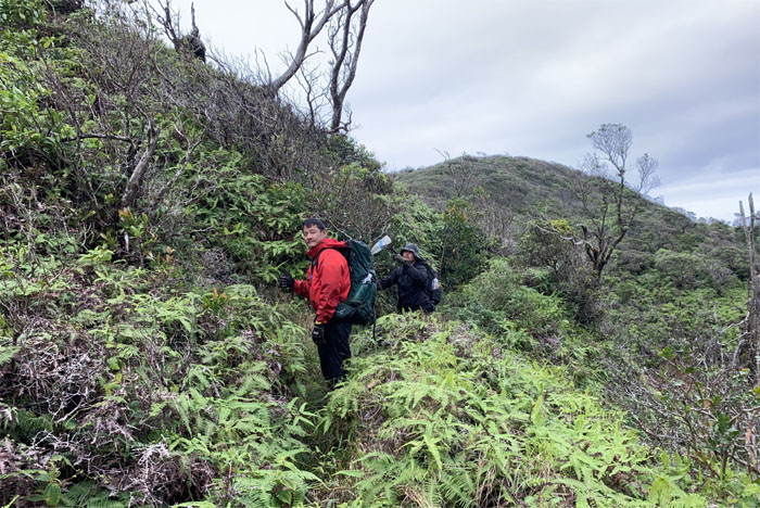
Pu’u Hina
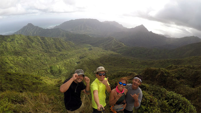
Group photo at the summit that we almost missed.
KST
Walking down the grassy trail. A much needed relief from the punishing section that we had just come from.
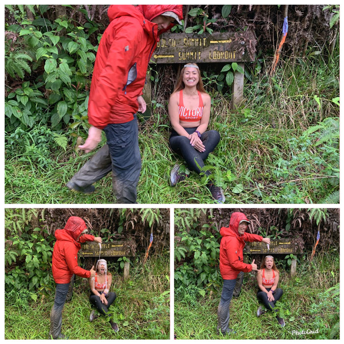
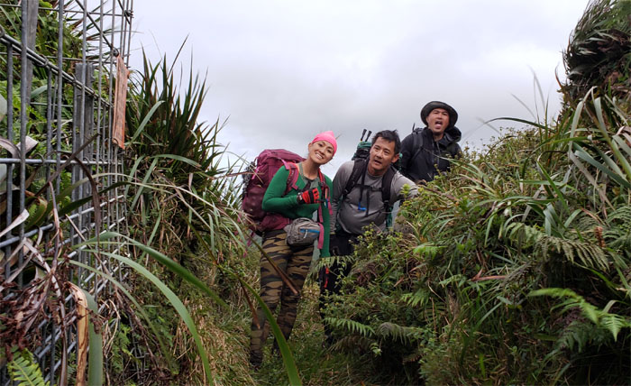
Black Junction
When a Burger King paper crown will not do. Why do it once when you can do it twice. Good until the last drop. Congratulations to Analyn for completing the last section she needed to finish the Ko’olau Summit Trail in its entirety.
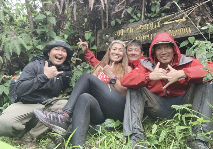
Black Junction
Group photo left to right: Cisco, Analyn, Kip and myself.
Trail
Following the sign down to the white shell city.
Trail
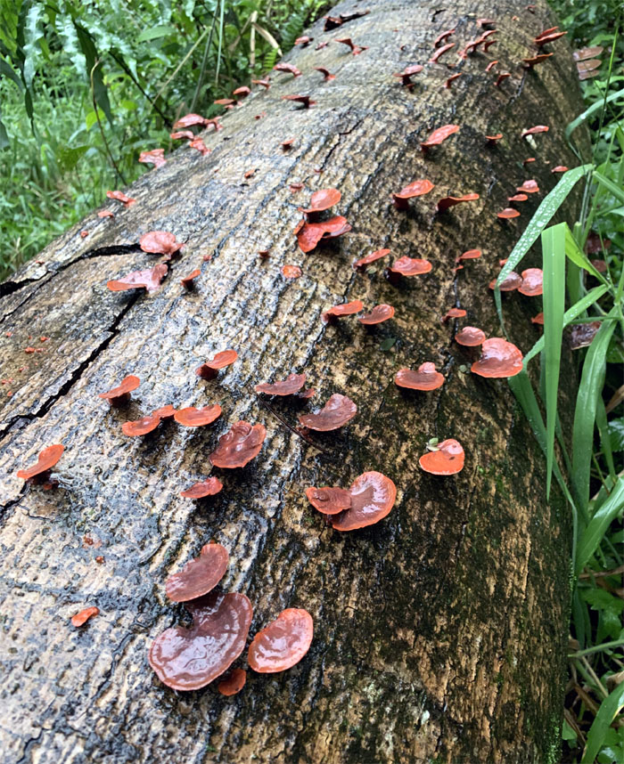
The trail going down was littered with fallen logs colonized by fungus that helps to accelerate their decay. Photo by Cisco Quintanilla.
Paala Uka Pupukea Road
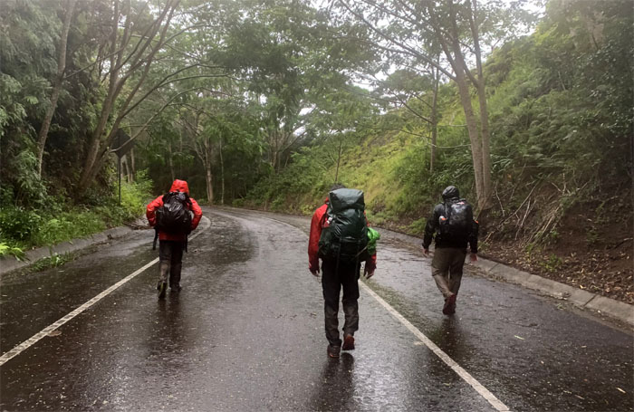
Walking down the military road that had several eroded sections and rock runoffs from the cliffs above. Photo by Analyn Baliscao.
All pau
Our hike was over and it was time for the crown to come off. A big thanks to Quan for picking us up by the Boy Scout Camp.

GPS Tracks
Our weekend camping hike through the muddiest and most overgrown section of the KST covered 17.33 miles. Post hike meal at Ted’s Bakery. No sign of the domesticated swine looking for handouts. Congratulations again to Analyn for finishing the KST.
Note: I have been made aware that some hikers have been using my blog as a hiking guide and getting lost on the trails. Please note that this blog was made to document the hike for the crew(s) that did it. That is why some of my comments will seem to have no relevance or meaning to anybody outside of the crew(s) that hiked that trail. My blog was never meant as a hiking guide, so please do not treat it as such. If you find inspiration and entertainment from these hikes, that is more than enough. If you plan on replicating these hikes, do so in the knowledge that you should do your own research accordingly as trail conditions, access, legalities and so forth are constantly in flux. What was current today is most likely yesterdays news. Please be prepared to accept any risks and responsibilities on your own as you should know your own limitations, experience and abilities before you even set foot on a trail, as even the “simplest” or “easiest” of trails can present potential pitfalls for even the most “experienced” hikers.
{ 2 comments… read them below or add one }
Terrific writeup as always! Was laughing at all the funny captions..I don’t know how you come up with them! Congratulations to Analyn for completing KST!
Aloha Aida,
Thanks and glad you found it an entertaining read!
Mahalo