
I had a free weekend and decided to spend it in the mountains. How do you spell fun in the Ko’olaus? M – U – D.
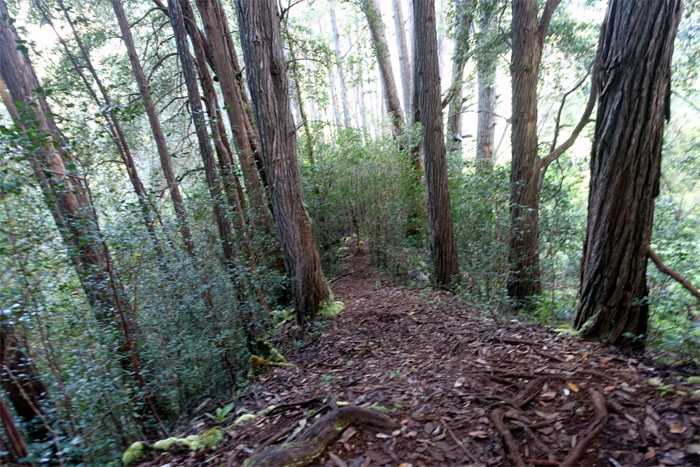
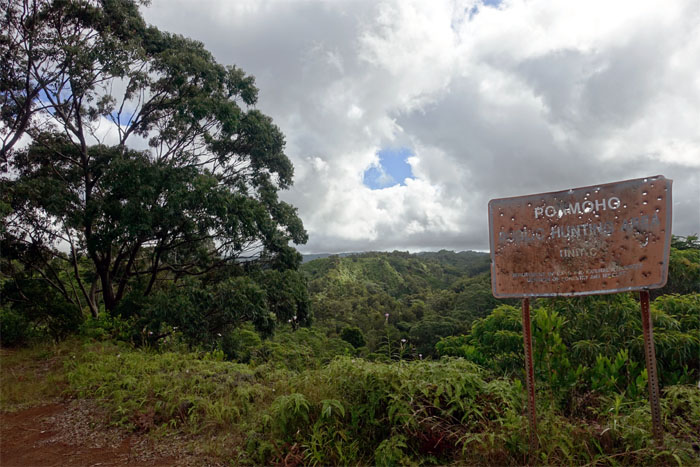
Trailhead
My mirrors were folded in. The dogs were barking. The blue skies were smiling at me.
Wahiawa Hills
Time to get swallowed in the hills of Wahiawa.
Wahiawa Hills
My first stream crossing. Didn’t even get my feet wet. Just yet.
Wahiawa Hills
The rolling down hills.
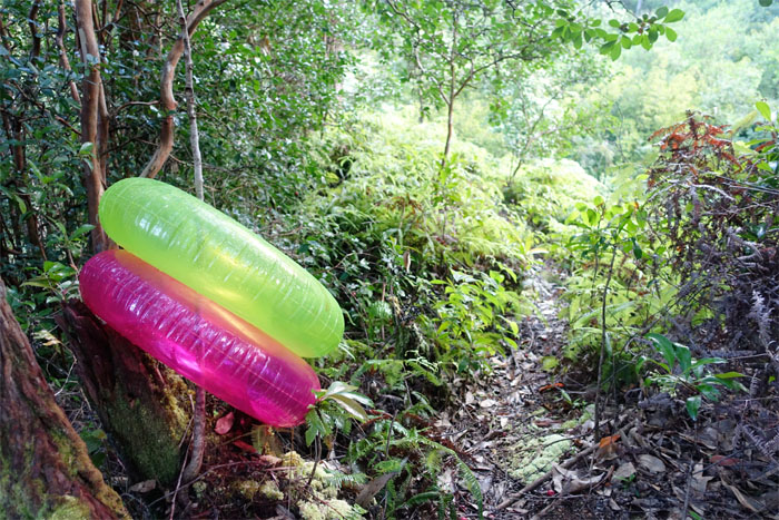
Wahiawa Hills
Brightly colored float tubes as trail markers. Why didn’t I think of that?
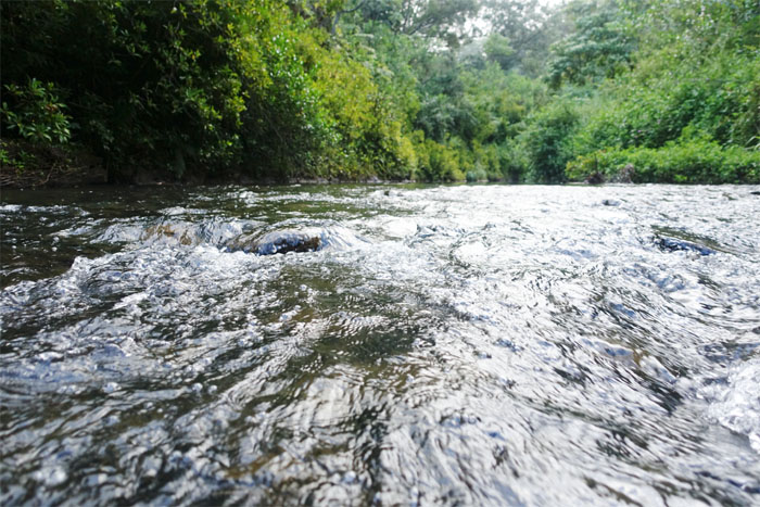
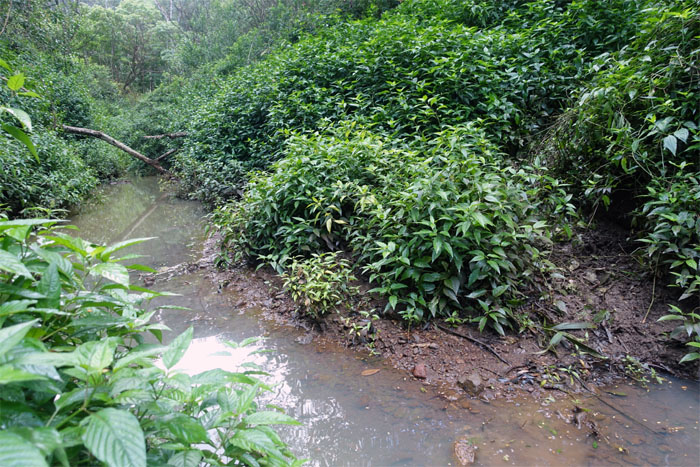
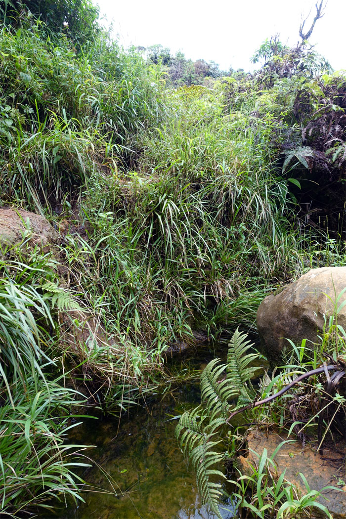
Kaukonahua Stream
The longest river on the island. 33 miles. Got wet. Not deep enough for tubing.
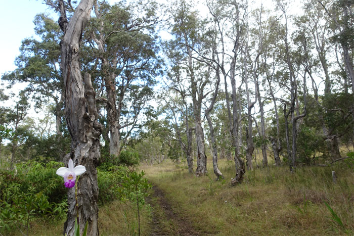
Wahiawa Hills
The rolling up hills.

Wahiawa Hills
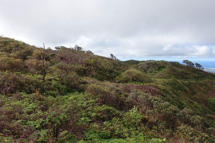
The vegetation has returned with a vengeance since it was burned out over a year ago.
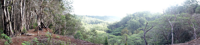
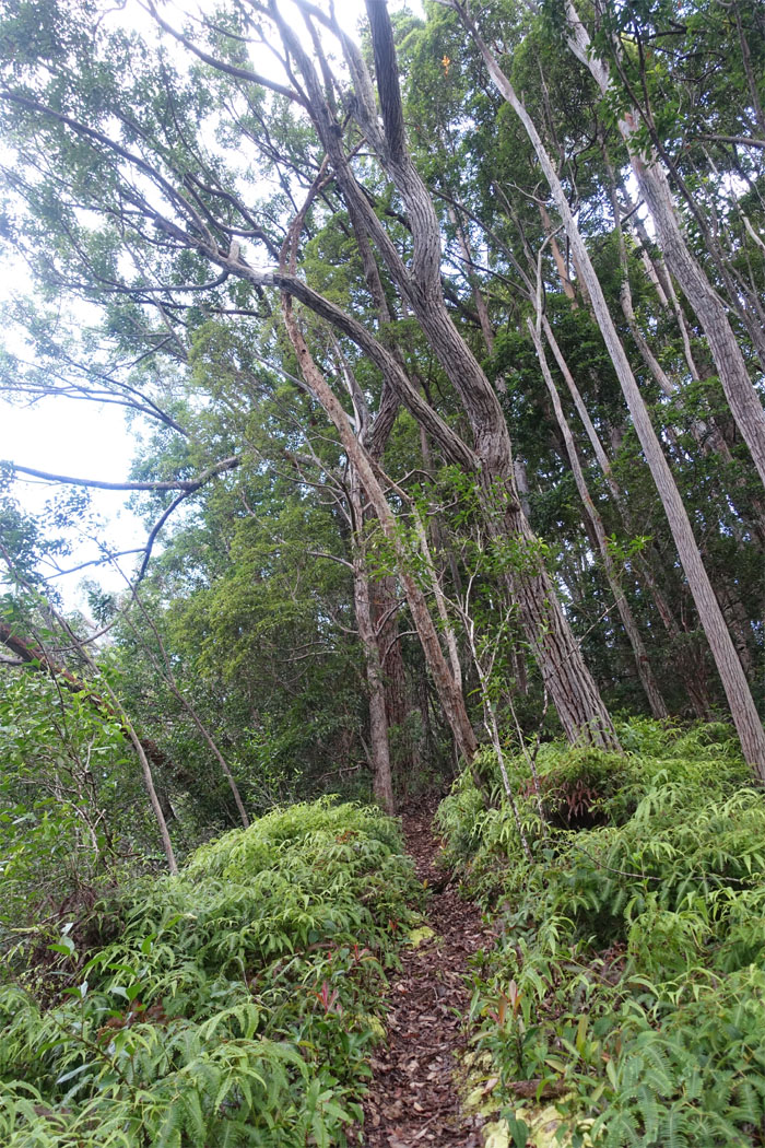
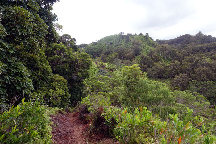
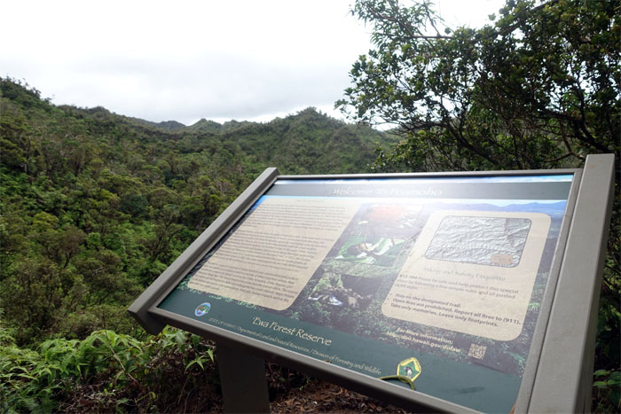
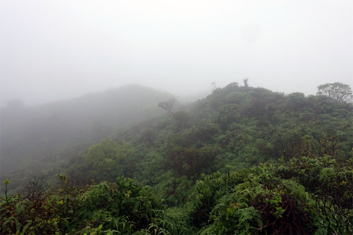
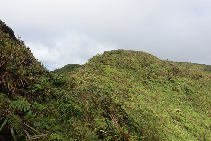
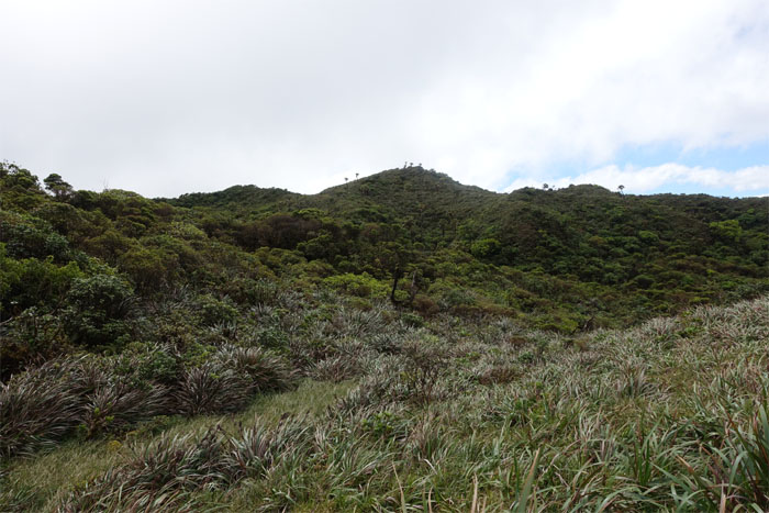
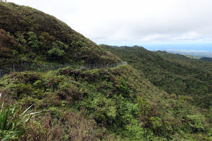
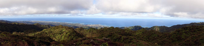
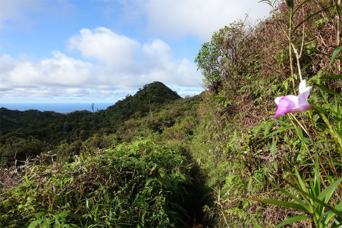
Wahiawa Hills
Panoramic view of the vast Ewa Forest Reserve.
Wahiawa Hills
More rolling down hills.
Wahiawa Hills
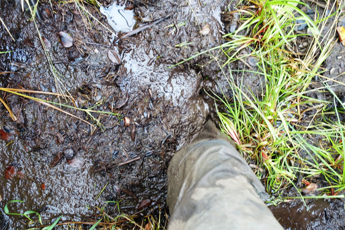
Got wet again.

Wahiawa Hills
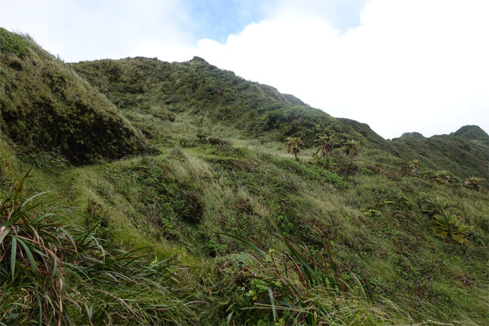
The hills have hills.
Wahiawa Hills
Leaving the hills behind.
Wahiawa Hills
Soon you will be able to read the bullet holes instead.
Wahiawa Hills
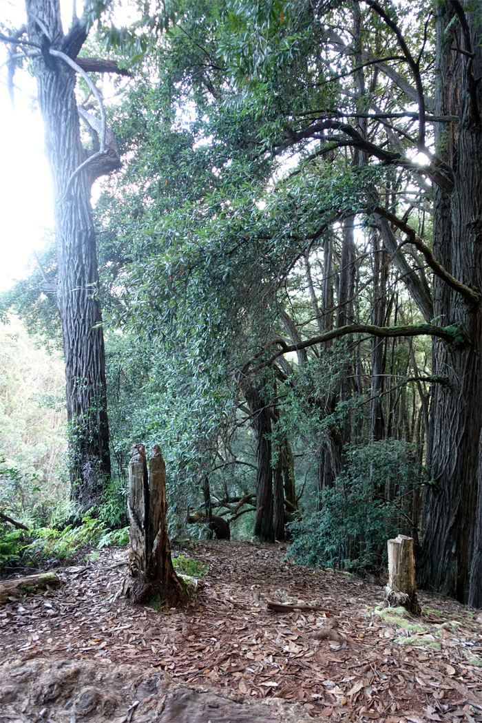
A freshly cut trail. Relatively speaking. Looks like the work of the HTMC trail clearing crew.

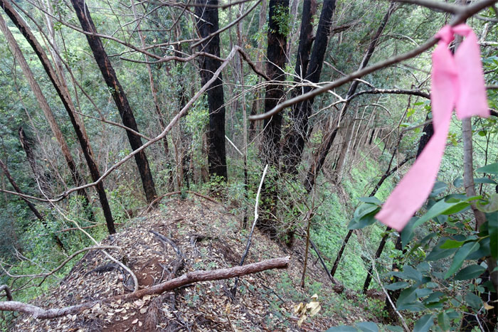
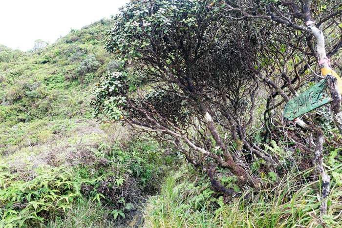
Wahiawa Hills
Pink ribbons fluttering from the branches that marked the trail. I miss the float tubes.
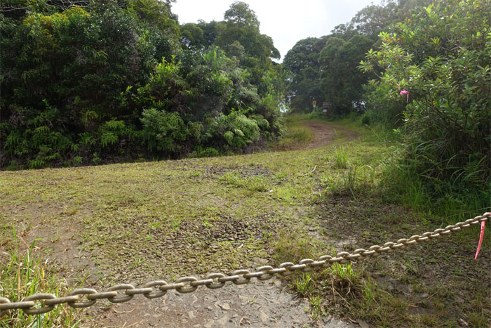
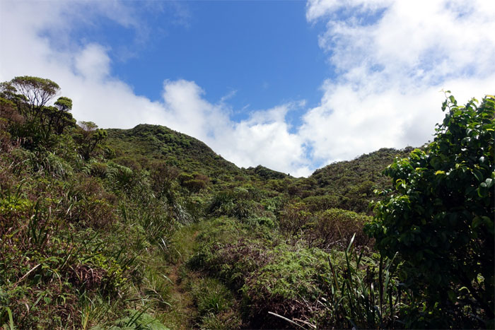
Poamoho Road
Time to transition from trail to road. All it took was a hop. No skip. No jump.
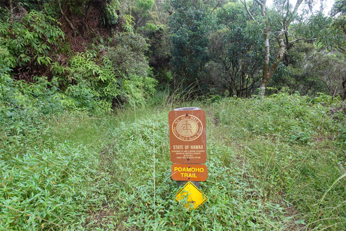
Poamoho Trail
No sign of bees. No honey either. I had my nuts too.
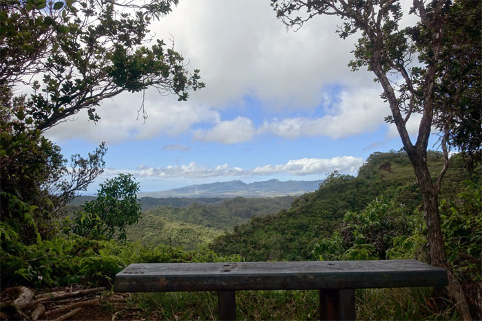
Poamoho Trail
Bench with a view. Warm bench.
Poamoho Trail
Something new. Time to edumucate myself.
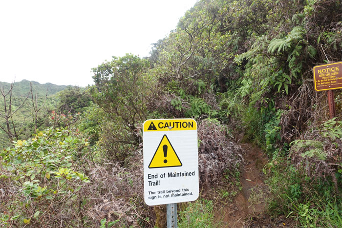
Poamoho Trail
Well, at least it’s not imploring me to turn back.
Poamoho Trail
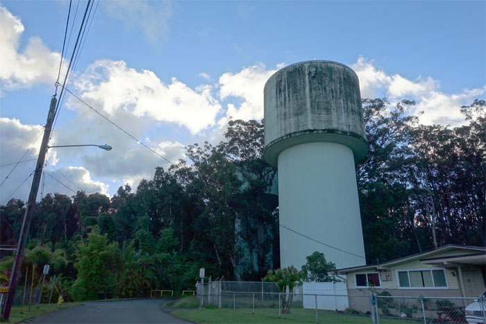
We meet again. A familiar but necessary eyesore in the mountains.
Poamoho Trail
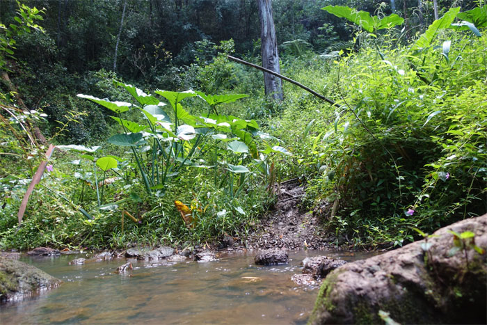
The last stream crossing. Didn’t get my wet shoes wet.
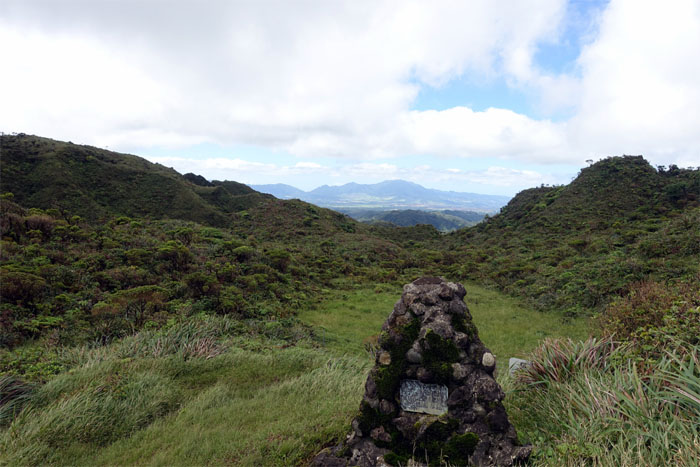
Poamoho Trail
Memorial in sight.
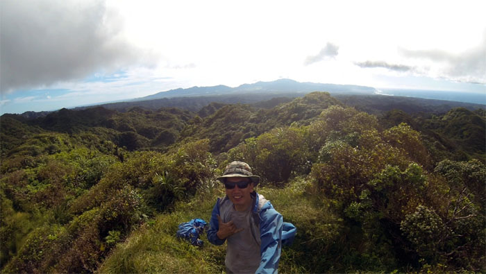
Poamoho Summit
Not a bad spot to have lunch.
Poamoho Summit
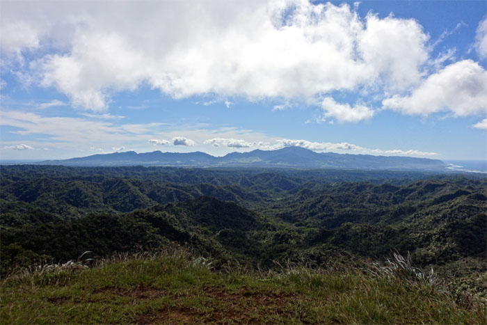
Looking out towards the Waianae Range.
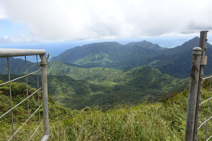
KST
The gate is open. The Ko’olau Summit Trail beckons.
KST
Still working on my plant identification skills. Lack of.
KST
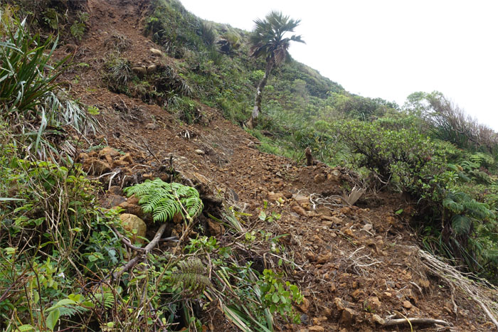
Landslide. I’ve been seeing more of these on the trails lately.
KST
The trail for the most part contoured on the Windward side.
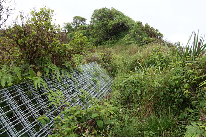
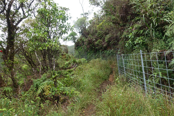
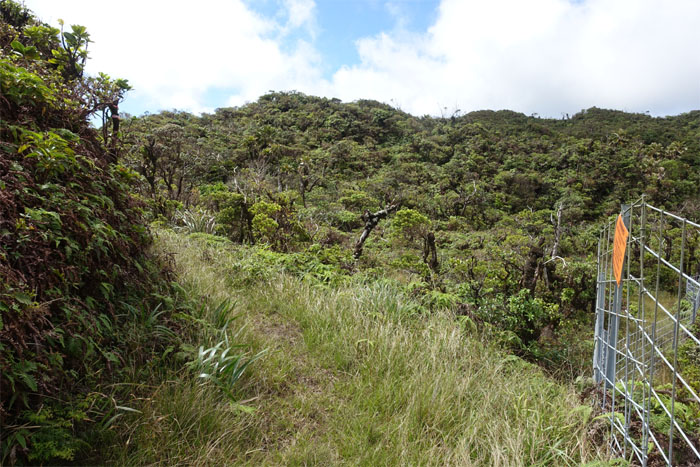
KST
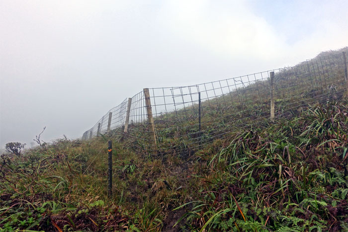
Stacked fences. Assembly included.
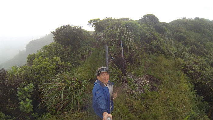
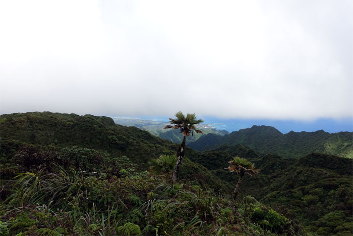
Pritchardia
Native loulu palm trees dotting the sides of the mountain.
KST
Following the fence line.
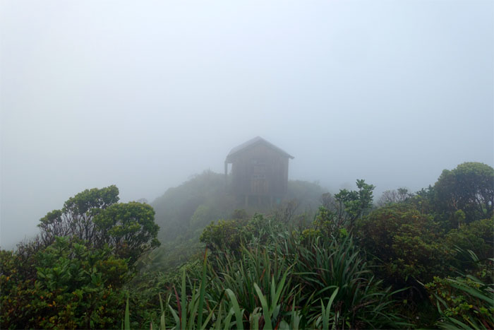
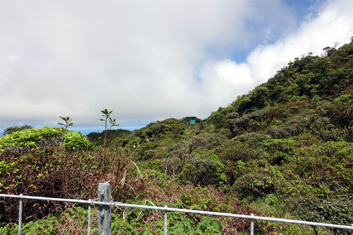
KST
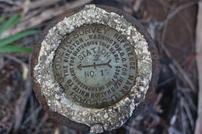
I spotted something wooden and rectangular off in the distance. What could it be?
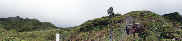
KST
The iconic boot junction.
KST
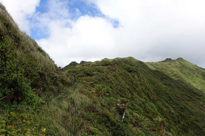
Traversing the undulating fenced trail.
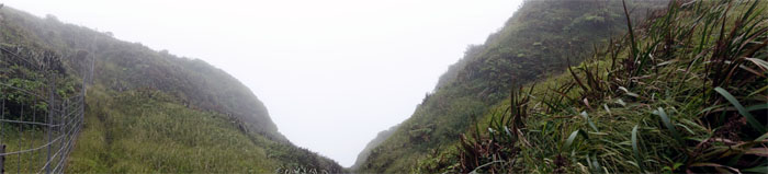
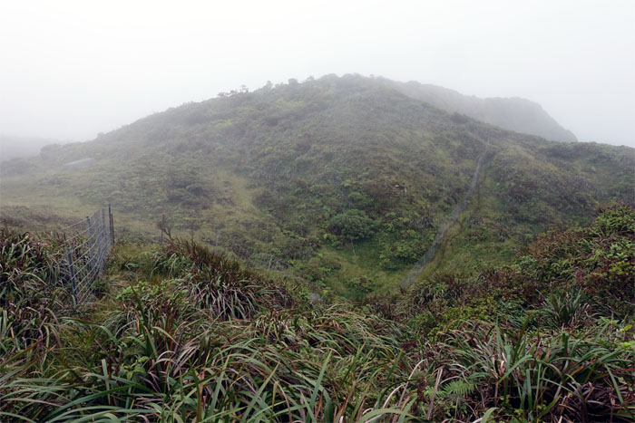
KST
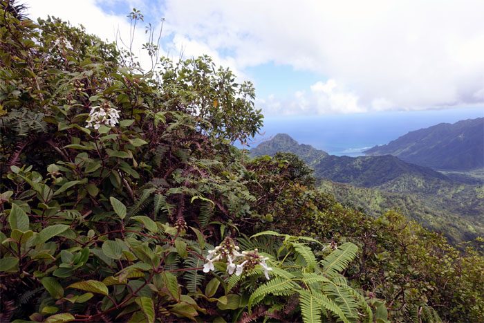
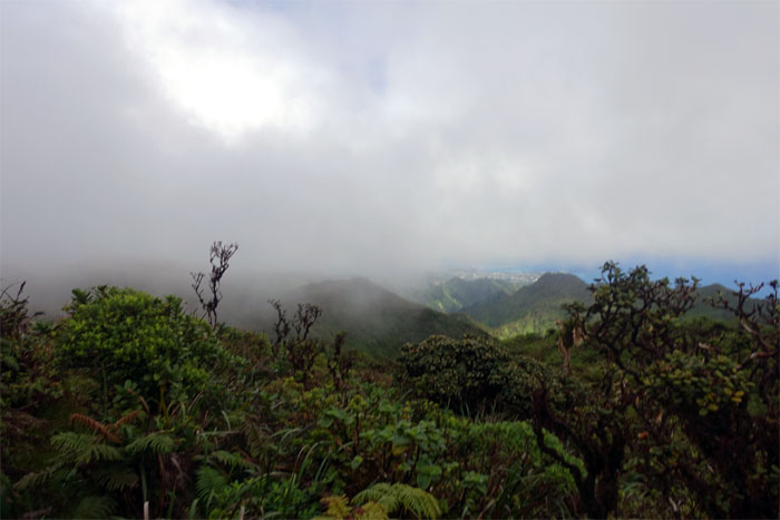
Passing by a notch in the mountains that the clouds filled in.
KST
The clouds started to slowly drift and diffuse over the jungled landscape.
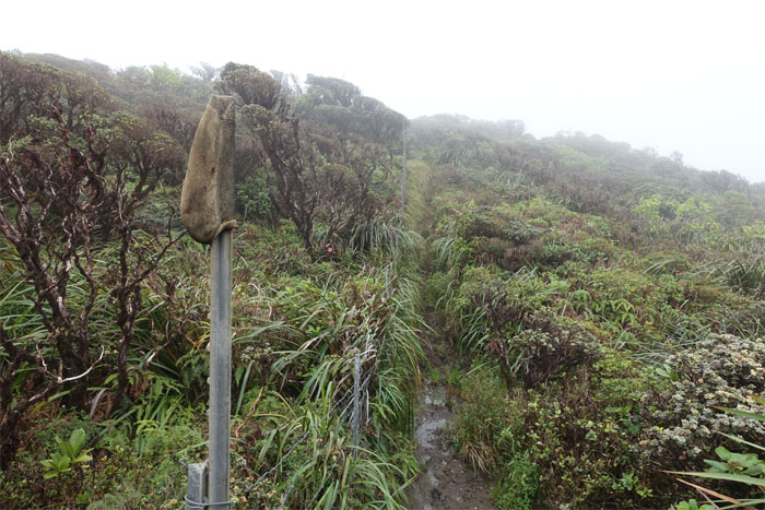
KST
The sock stake. Someone has a good sense of humor.
Trail
How do you spell fun again?
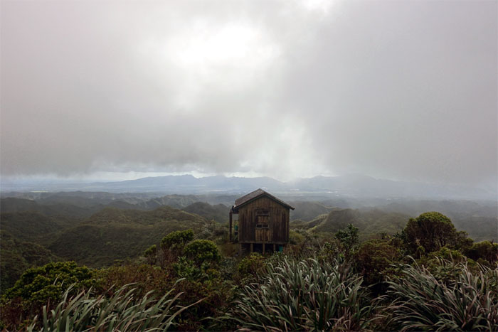
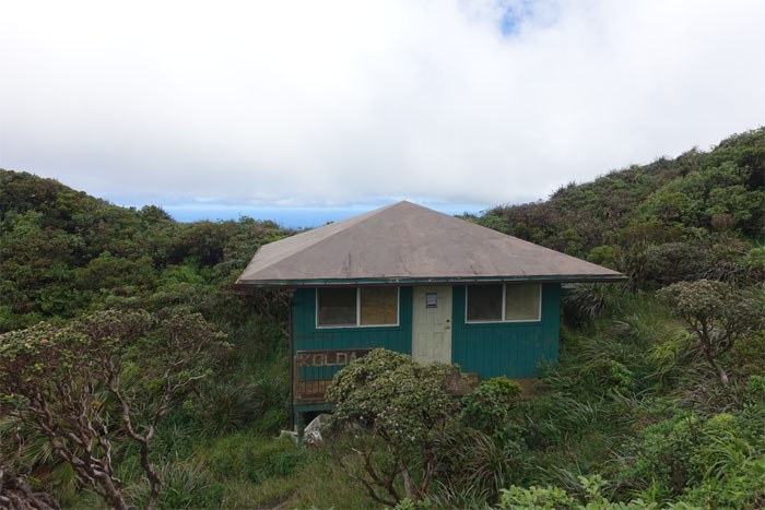
Opaeula Cabin
I’ll take the room with mountain views please.
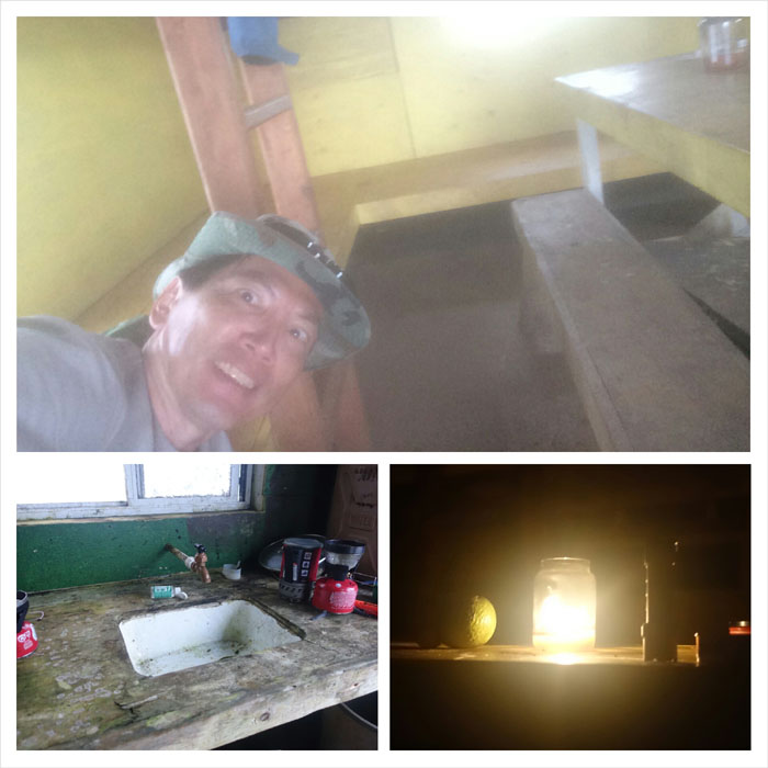
Opaeula Cabin
Cabin life. Kitchen sink included. Night views not included.
Opaeula Cabin
Wakey wakey eggs and bakey. No eggs. No bacon. A bowl of hot beef pho will have to do.
Trail
Down into the rabbit hole.
KST
A lehua papa tree? sticking out like the proverbial veined thumb. Still working on those skills.

KST
Spider web catching morning dew drops.
KST
The trail soon met up with the fence again.
KST
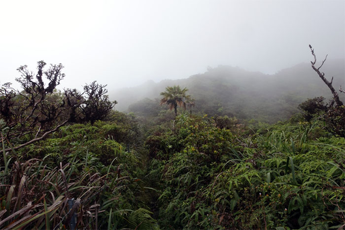
Hiking through the cloudy, twisted topography of the Northern Ko’olau can be confusing and clarifying at the same time.
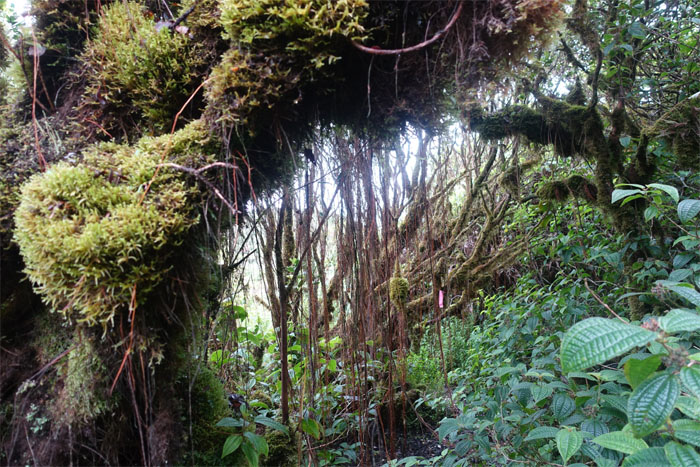
KST
Corridor of moss hanging trees sheltering a river of mud.
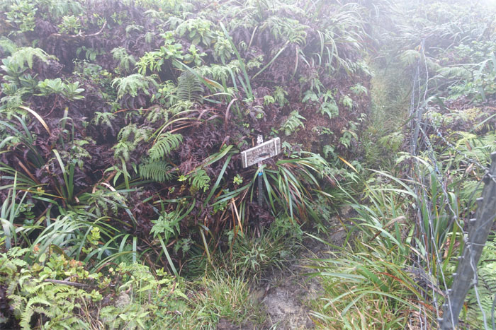
Papali Junction
The junction has been cleared and fenced. No stopping the fence migration.
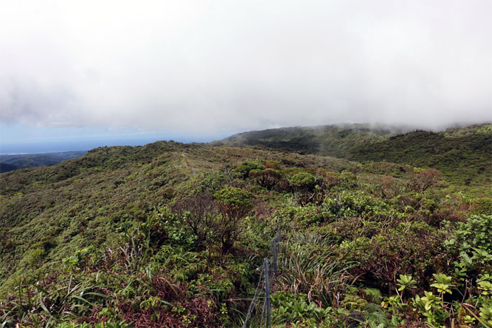
KST
The cotton candy clouds seemed to slowly dissolve as they drifted over the mountains and out to the ocean.
KST
The overgrowth relented somewhat as the trail continued to contour on the Windward side.
KST
Spoke too soon.
KST
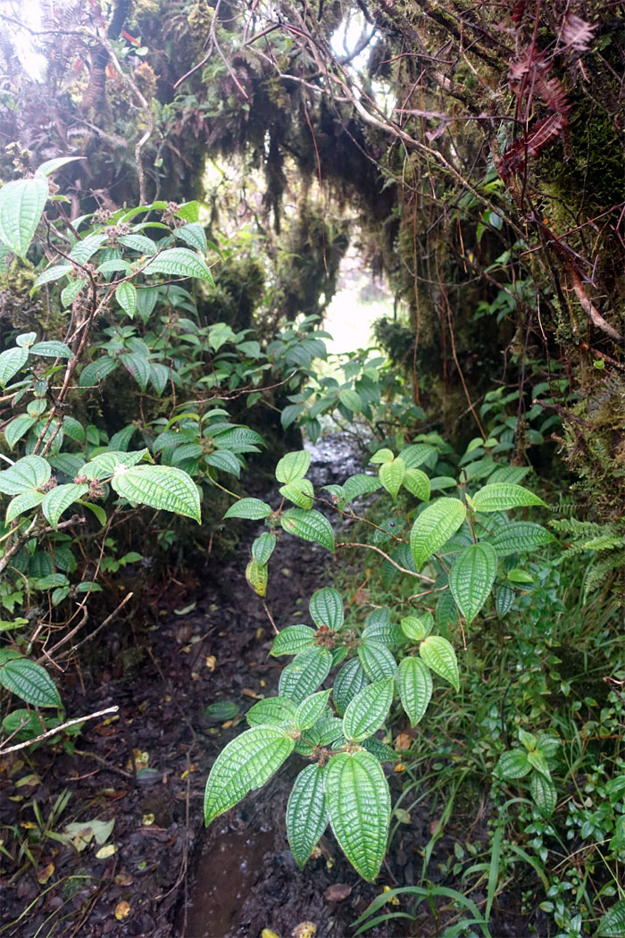
Curtain of hanging roots obscuring pungent and cloying rivers of mud.
KST
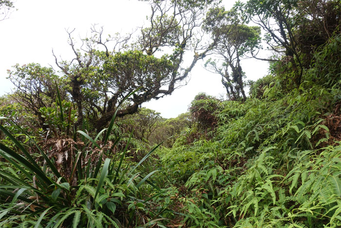
What hike wouldn’t be complete without wading through pockets of chest high uluhe ferns? Exactly.
KST
Temporary relief.
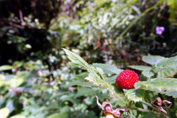
Trail snacks
Thimbleberry. Many berries to make a big berry.
Koloa Cabin
I guess the rats are all gone.
Koloa Cabin
Leaving the outhouse behind, no deposits left.
KST
The uneven fencing reflected the convoluted trail.
KST
Leaving the fence behind.
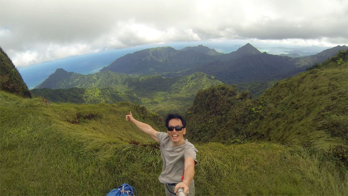
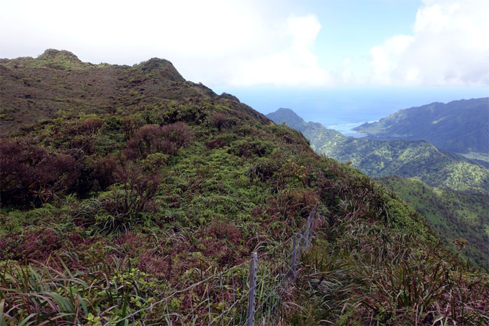
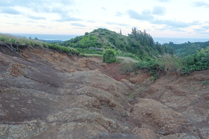
Kawailoa Summit
Stunning end to end views of the Waianae Mountain Range from the 2,360′ top.
KST
Crossing the bowl shaped depression to climb back up to the Windward side of the trail.
Laie Summit
Panoramic view from the 2,240′ top.
Laie Summit
The winds were biting cold as I took my hurried leave of the summit.
Laie Trail
Only six miles left. All downhill.
Laie Trail
The elevation hourglass seemed to drop slower than usual, as the trail descended through native forest and invasive strawberry guava trees.
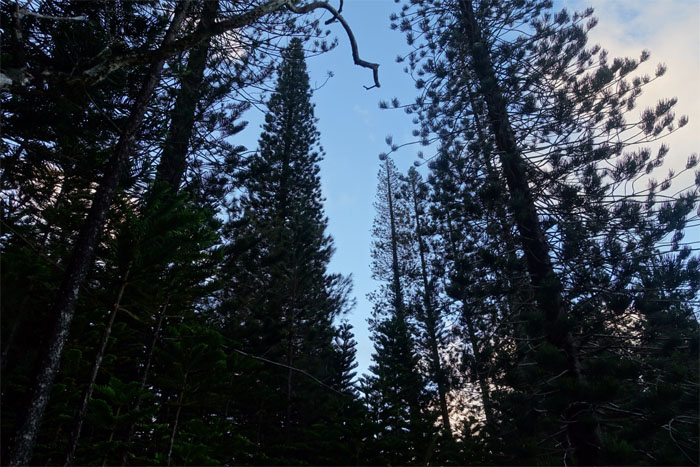
Laie Trail
I soon ran across the grove of Norfolk Pines. Halfway there. Keep on going. Almost there.
All pau
My two day hike across and through the mud, overgrowth and stunning scenery of the Ko’olau Mountains covered over 24 miles. I was beaten like a rented mule at the end of the trail. Euphorically exhausted. Thanks to Dale for picking me up. Post hike meal at Outback. Eyes were bigger than my stomach. Doggy bag.
Note: I have been made aware the some hikers have been using my blog as a hiking guide and getting lost on the trails. Please note that this blog was made to document the hike for the crew(s) that did it. That is why some of my comments will seem to have no relevance or meaning to anybody outside of the crew(s) that hiked that trail. My blog was never meant as a hiking guide, so please do not treat it as such. If you find inspiration and entertainment from these hikes, that is more than enough. If you plan on replicating these hikes, do so in the knowledge that you should do your own research accordingly as trail conditions, access, legalities and so forth are constantly in flux. What was current today is most likely yesterdays news. Please be prepared to accept any risks and responsibilities on your own as you should know your own limitations, experience and abilities before you even set foot on a trail, as even the “simplest” or “easiest” of trails can present potential pitfalls for even the most “experienced” hikers.
{ 4 comments… read them below or add one }
Always wondered where is Opaeula cabin location. Thanks for sharing Kenji
Udom
Aloha Udom,
You’re welcome and hope you get to enjoy the cabin one day.
Mahalo
THANK YOU! I AM SOOOOO doing this! Like in the next two months if it doesn’t start raining too bad and floods everything out.
Aloha John,
You’re welcome. Just be prepared to hike through the muddiest section of the KST and the overgrowth is pretty much up there as well. Also try to pick a day with clear skies and good weather, I know that’s easier said than done as the mountain weather often changes on a dime and is a study in contrasts with sea level weather and good weather will help when navigating certain sections as it can get confusing. Stay safe and have fun.
Mahalo