Note: It has been brought to my attention that the Kipapa Trail 1.5 miles mauka of Koa Ranch to the Ko’olau Summit lies within the boundaries of the Oahu Forest National Wildlife Refuge and is currently closed to the public, in order to protect some of the last intact native Hawaiian Forest, endangered species such as the pupu kani oe and many native Hawaiian Forest birds.
Chris and Ethan joined me today in tackling a Windward ridge. Thanks to Glenn for dropping us off in Waiahole Valley.
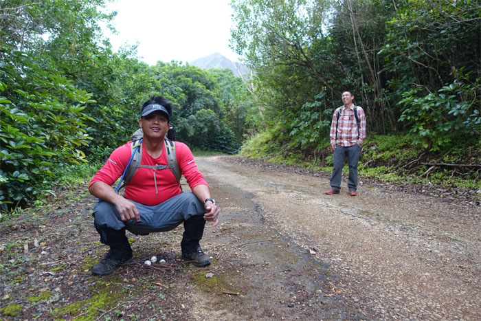
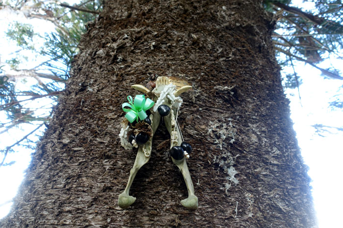
Chris subbing for the mother hen and her clutch of eggs. Balut anybody?
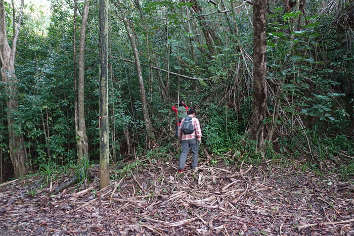
We soon left the ditch trail to climb up the flank of the ridge. Thanks to George Vuong for the beta on this trail.
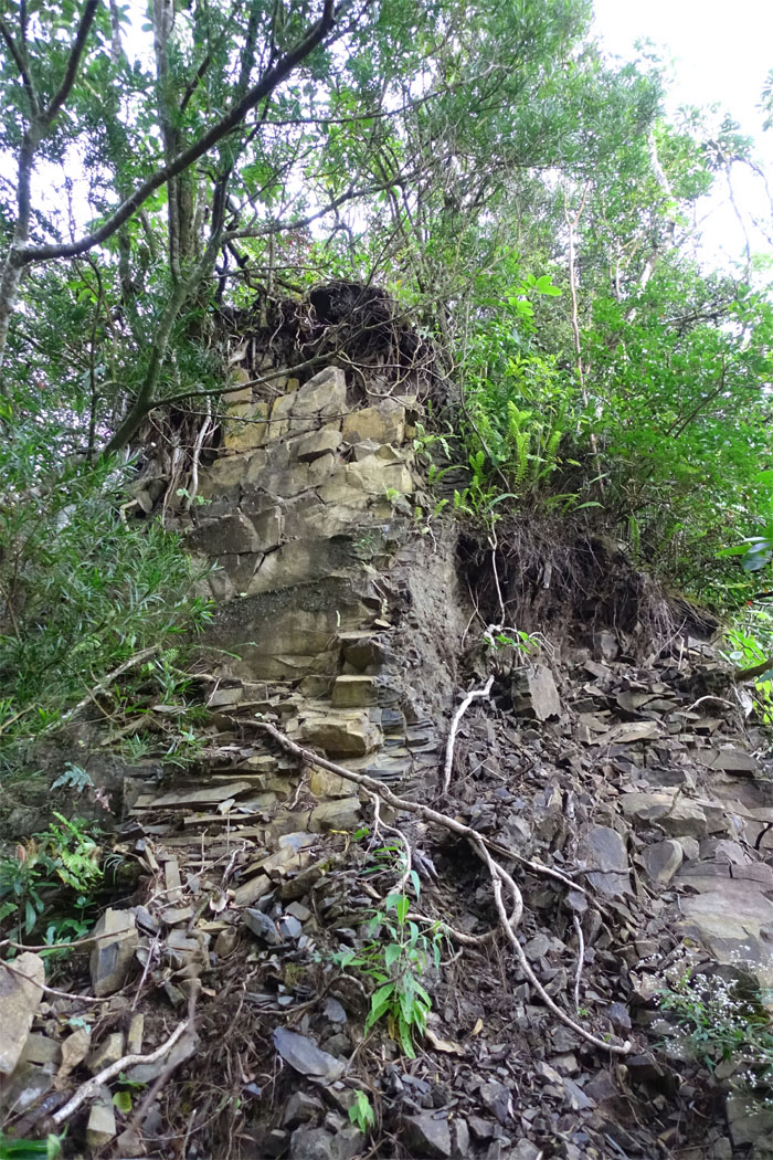
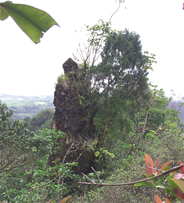
One of the few times we would see exposed rock on the ridge.
Finding the least path of resistance as we made our way up. Least being relative.
We made it to the ridge line with hours and hours of bushwhacking ahead of us.
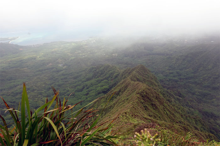
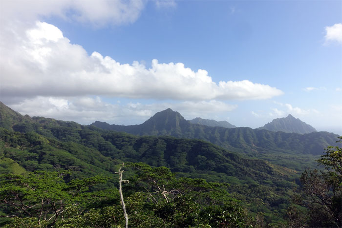
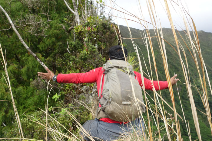
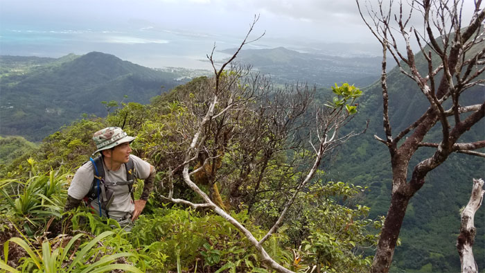
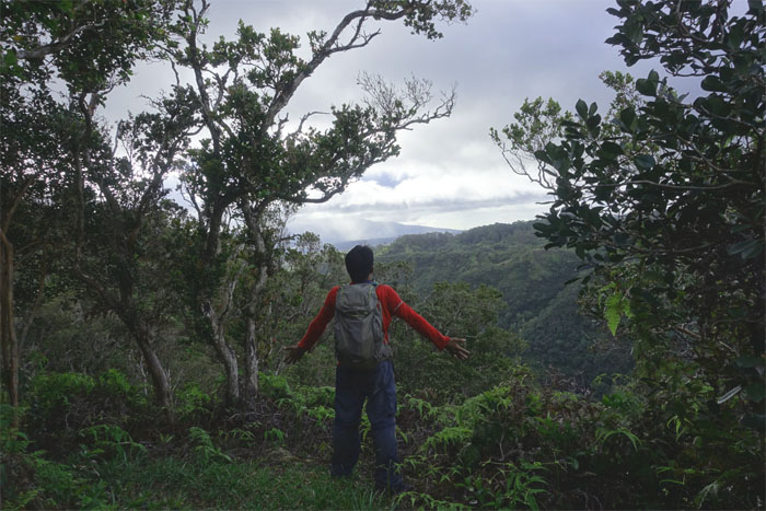
Looking out towards Kahana Valley and her majestic mountains rising from the floor.
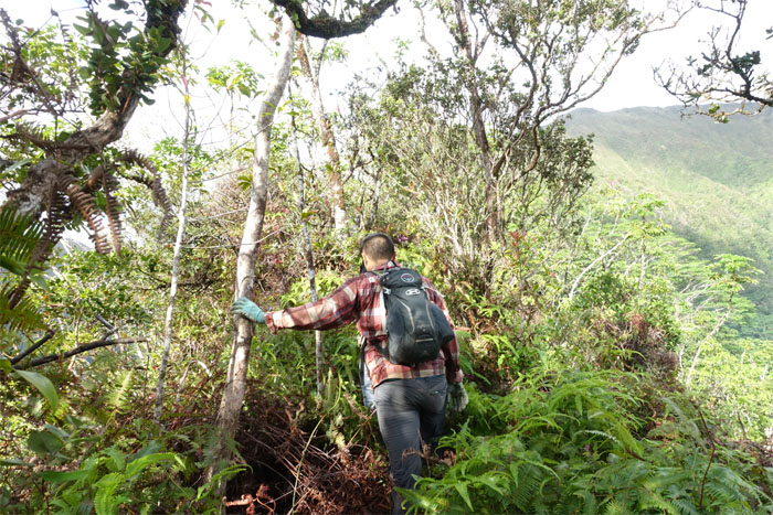
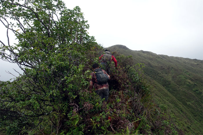
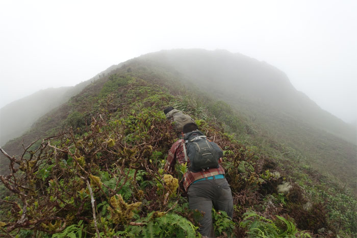
The overgrowth seemed to increase proportionally as we gained elevation on the ridge. Or was that disproportionately?
Contouring around a large boulder through the rough sea of uluhe ferns.
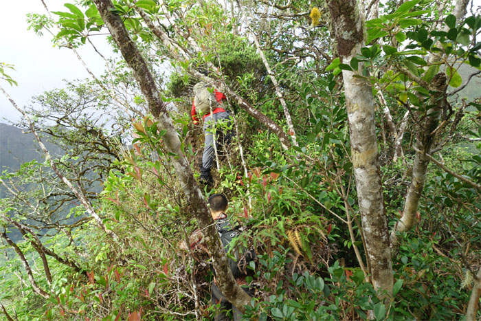
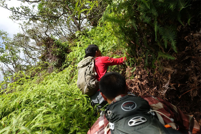
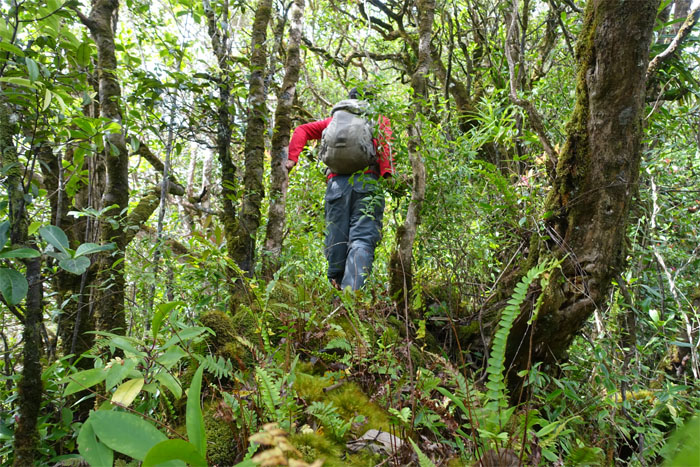
Climbing and weaving our way up through the trees.
Chris going down the first notch. Not that bad.
Right Ethan?
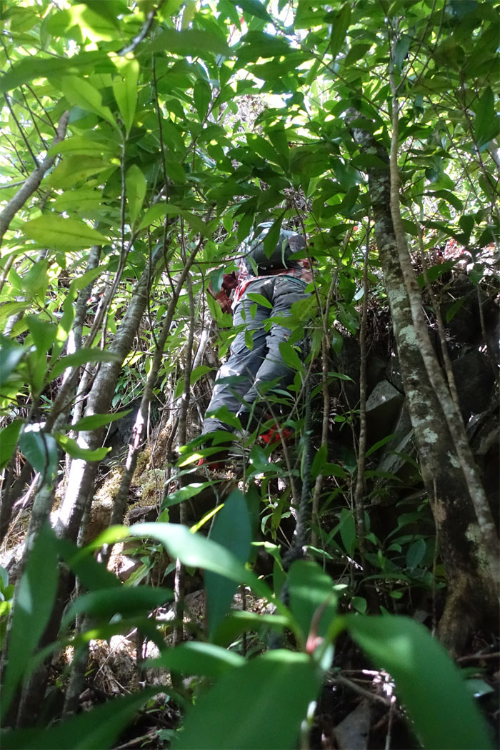
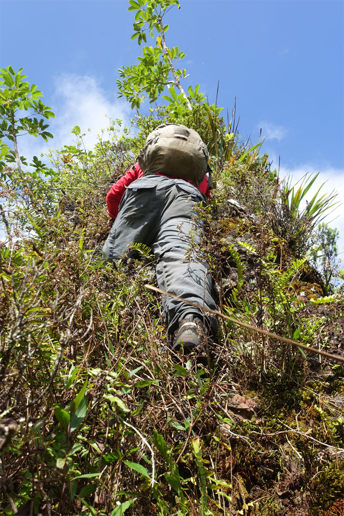
Chris scampering up a particularly crumbly section that had a thin film of vegetation holding everything loosely together.
Straddling and scooting along a narrow dike section.
Back on more solid footing.
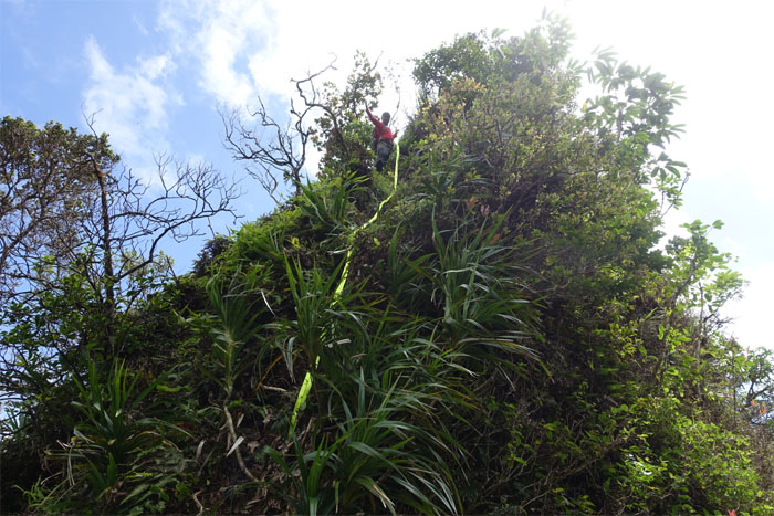
Looking up at the second and slightly higher second notch.
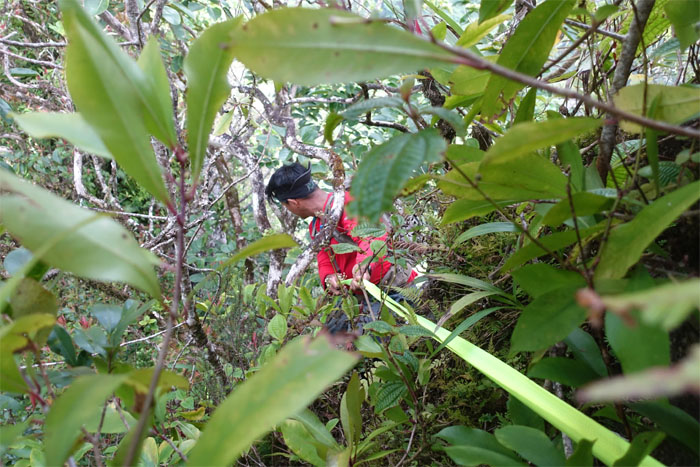
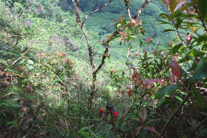
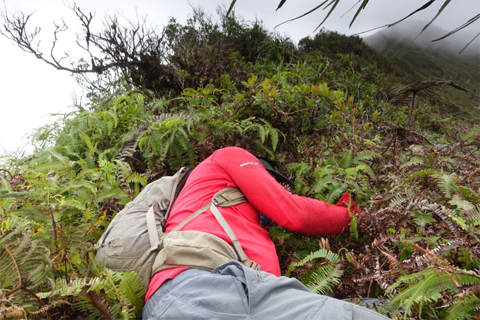
Can you see Chris for the overgrowth?
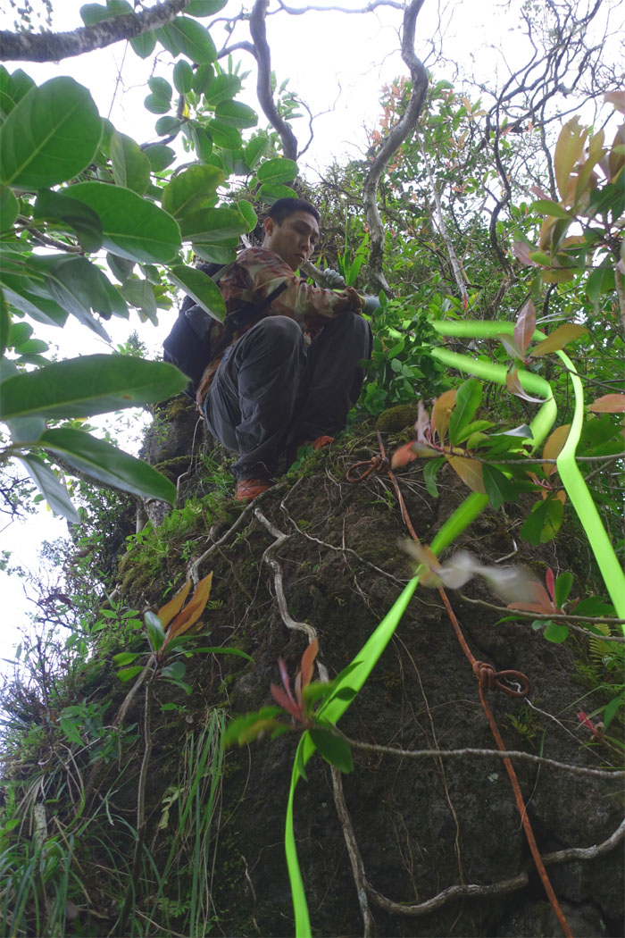
Looking back at the final and most challenging notch that claimed my camera. Luckily, I was able to climb down and retrieve it on the side of the ridge. Photo by Chris.
So close and yet so far away.
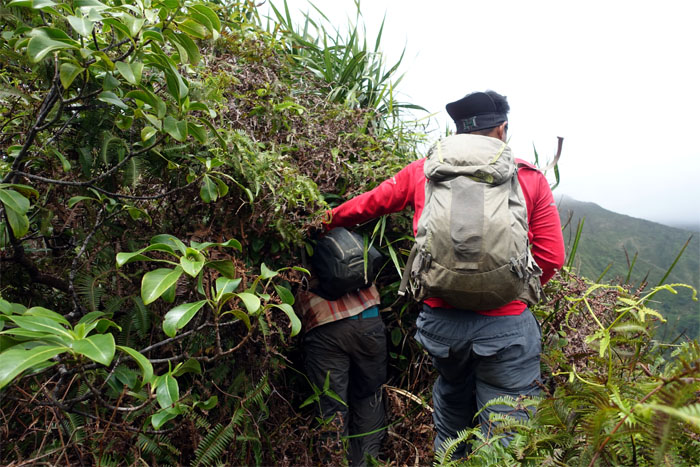
Burrowing through the constant and dense overgrowth.
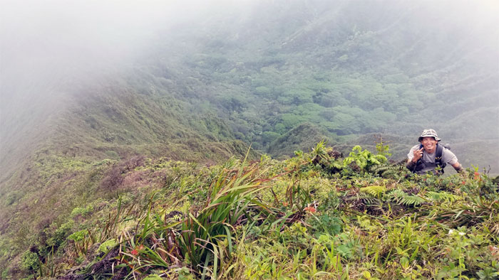
Sweating in the views. Photo by Ethan Clavecillas.
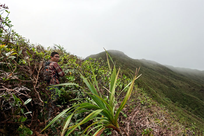
When will this overgrowth end?
Chris lay where he fell, showing that uluhe ferns can be somewhat comfortable and not just thorns in our sides.
Are we there yet?
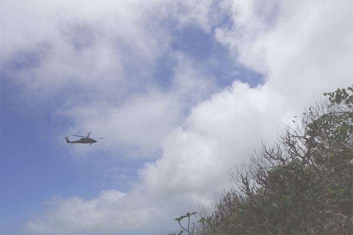
Did somebody call Uber Copter?
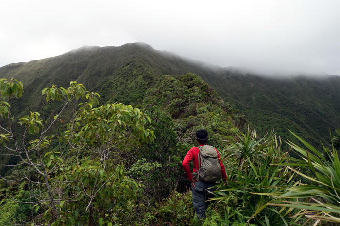
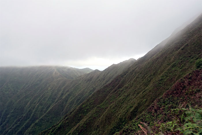
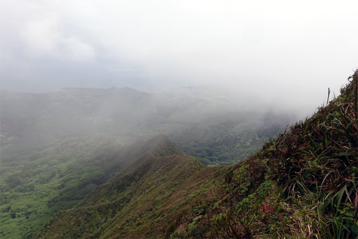
Looking out towards the undulating ridge line of the Ko’olau Summit Ridge Trail.
Almost there. Almost fawking there.
How do we feel about this ridge? No words needed. Photo by Ethan Clavecillas.
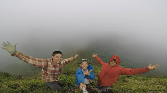
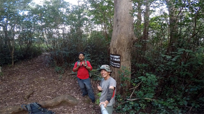
Group photo left to right: Ethan, myself and Chris. It took us about six hours to push our way through roughly 2,400′ of relentless ridge elevation gain. An exhausting experience none of us wants to repeat again.
We left the summit after our lunch, as the winds really picked up and the clouds blotted out our views.
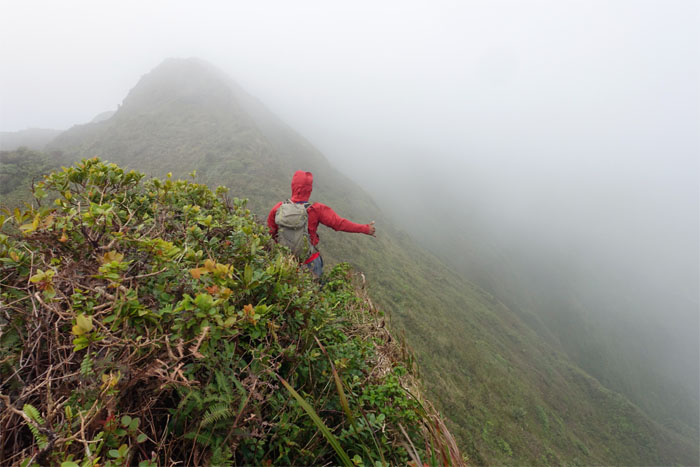
Looking back at the rough ride of a ridge.
The original route down was Waiahole Uka, but we decided to pick duration rather than density in terms of trail choices.
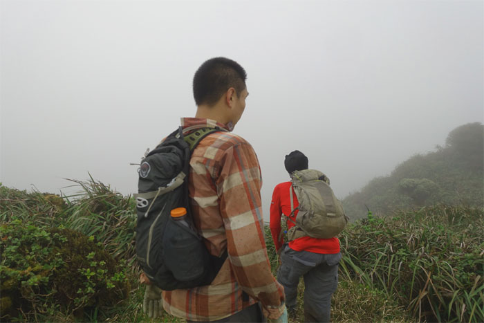
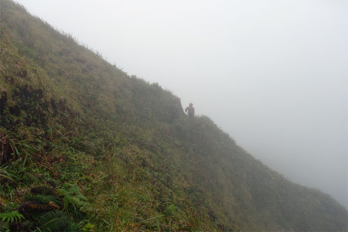
Hiking down in the clouds.
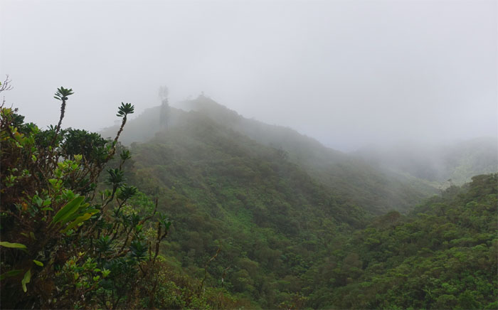
Pine trees in the cloudy distance.
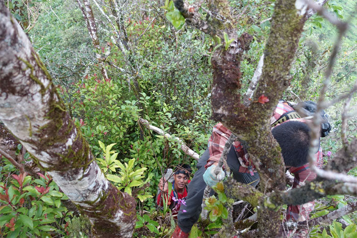
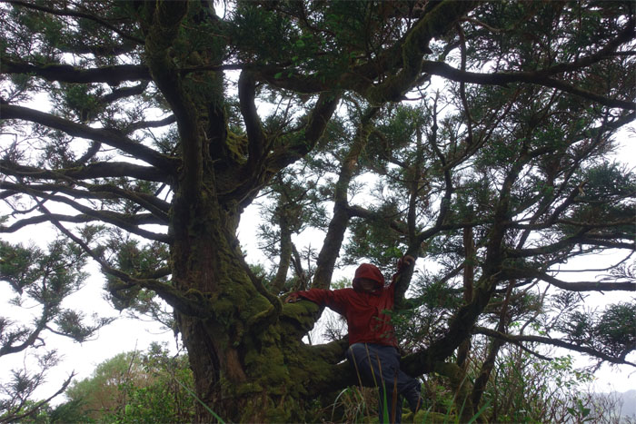
Chris sitting in the tree … wait … we are missing somebody again.
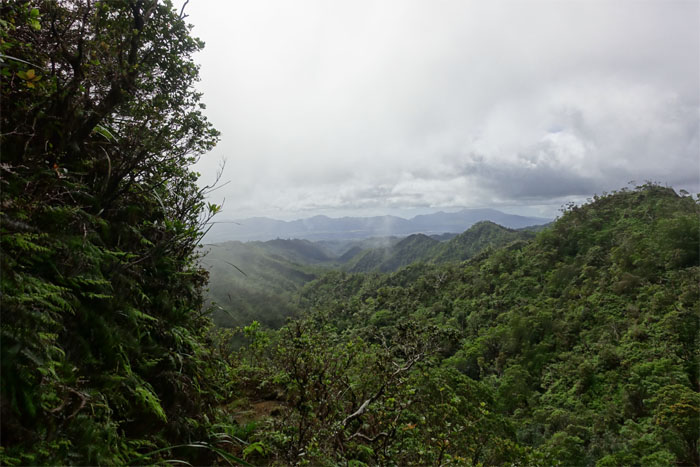
The winds relented and the clouds abated as we dropped lower in elevation on the ridge. Looking out towards the Waianae Mountains.
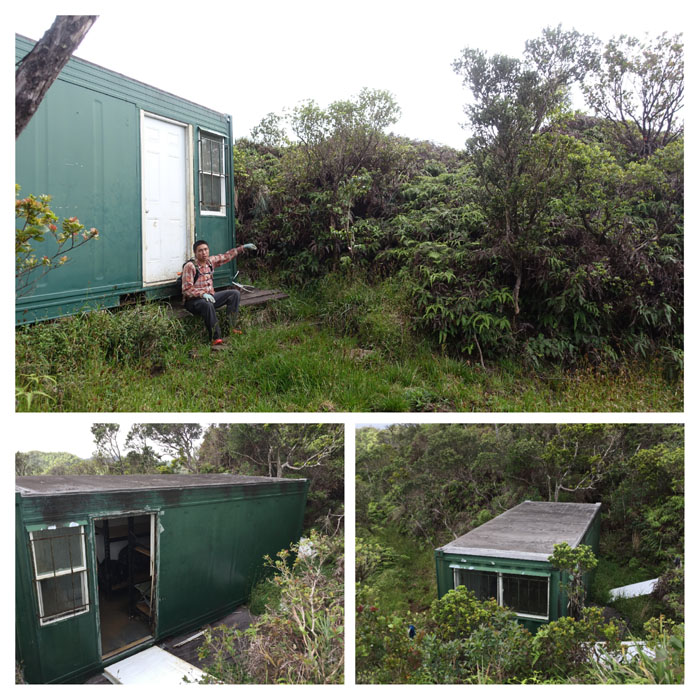
Cabin life.
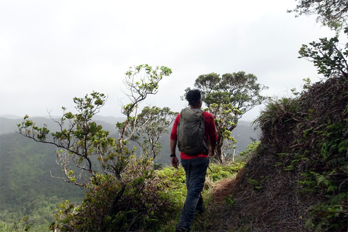
Chris rounding the bend …
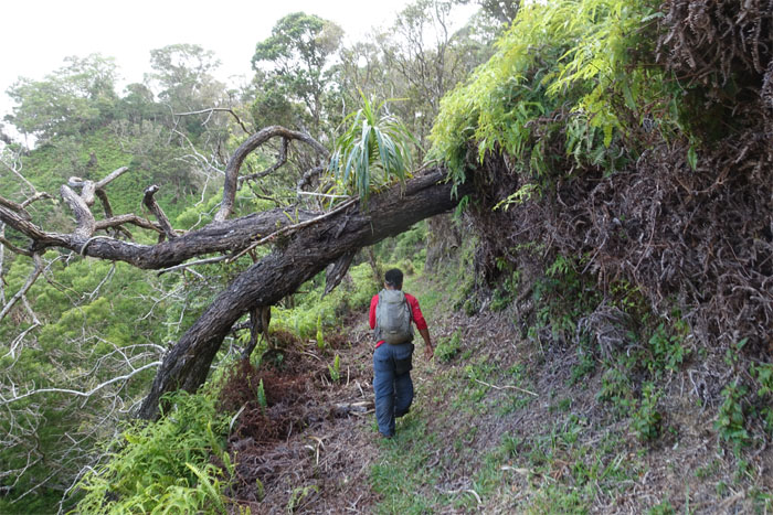
… as we made our way down the wide open …
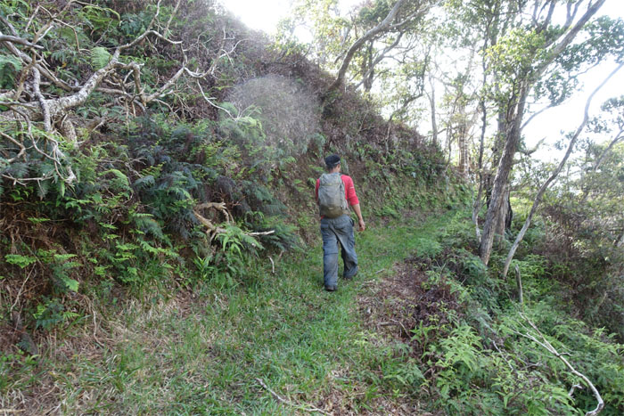
… and graded trail.
The pig and the hunter.
One can “lose” oneself very easily in the raw and rugged beauty of the mountains.
The wide open and cleared trail made short work of the six miles.
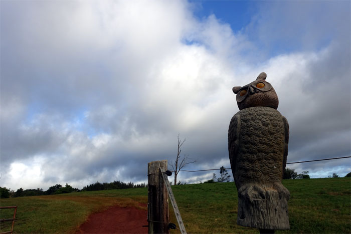
Whooo goes there?
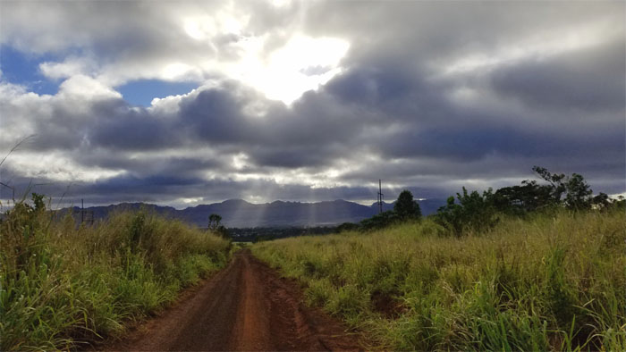
Walking the long road out and watching the sun beams washing over the Waianae Mountains. Not a bad way to end the day.
Our 15 mile hike started with brutal overgrowth and ended with the best maintained trail outside of the Na Ala Hele Trail System. Our Waiahole Death March hike, as Ethan called it, was with an amazing bushwhacking crew. Mahalo to Ben and Will for picking us up at Costco. No $1.50 hotdog and sodas for us. Post hike meal at Zippy’s. They need to turn up the temperature in the restaurant. Photo by Chris.
Note: I have been made aware the some hikers have been using my blog as a hiking guide and getting lost on the trails. Please note that this blog was made to document the hike for the crew(s) that did it. That is why some of my comments will seem to have no relevance or meaning to anybody outside of the crew(s) that hiked that trail. My blog was never meant as a hiking guide, so please do not treat it as such. If you find inspiration and entertainment from these hikes, that is more than enough. If you plan on replicating these hikes, do so in the knowledge that you should do your own research accordingly as trail conditions, access, legalities and so forth are constantly in flux. What was current today is most likely yesterdays news. Please be prepared to accept any risks and responsibilities on your own as you should know your own limitations, experience and abilities before you even set foot on a trail, as even the “simplest” or “easiest” of trails can present potential pitfalls for even the most “experienced” hikers.

{ 2 comments… read them below or add one }
is it possible to hike kipapa ridge without getting in some sort of trouble?
Aloha,
It’s best you secure permission from the ranch owners before attempting to set foot on their land.
Mahalo