
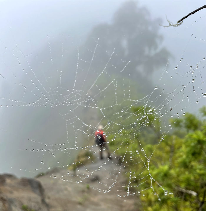
The winds were whipping around the island resulting in trees falling on Pali Highway, storm clouds were gathering on the mountains and the hiking mood was not right to go down to the Pali Lookout. Plan B. Let’s do something fun. Plan B. Photo by Lilyn Avendano.
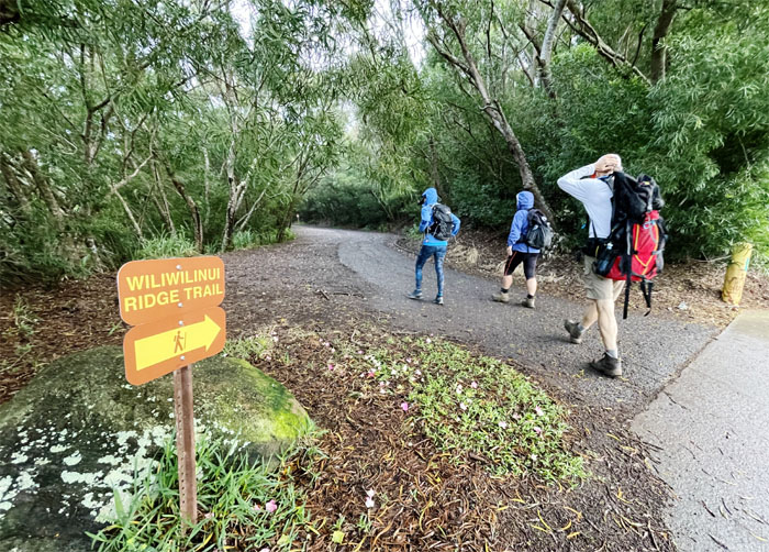
Wiliwilinui Trail
Pushed off the trail with the reluctant group that included Andy, Lilyn, Quan and Robin.
Wiliwilinui Trail
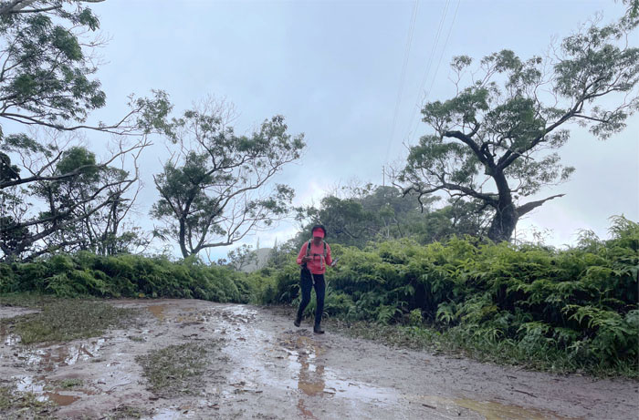
End of the biking trail.

Wiliwilinui Trail
Quan going up the muddy path that passed for a trail.
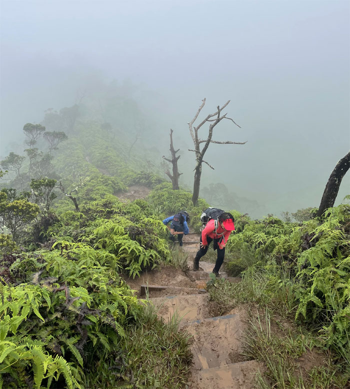
Wiliwilinui Trail
Step by step. Puddle by puddle.
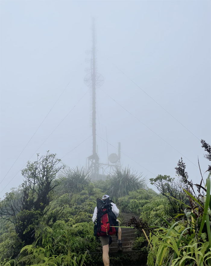
Wiliwilinui Trail
We could soon almost see the summit for the communications tower.
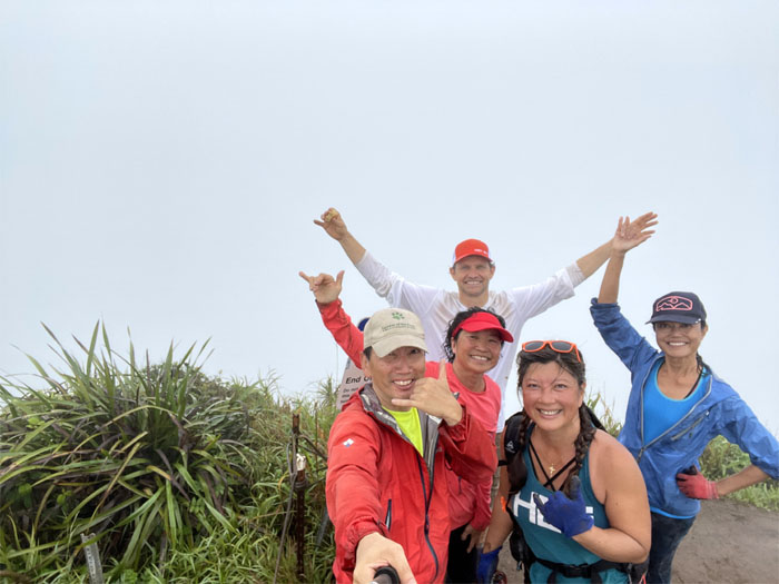
Wiliwilinui Summit
All wet at the 2,480′ summit.
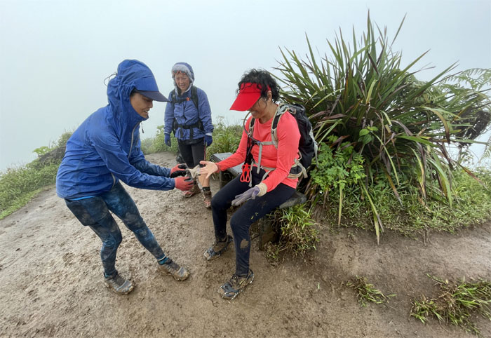
Wiliwilinui Summit
Does somebody have a pair of ambidextrous gloves? Inside out?
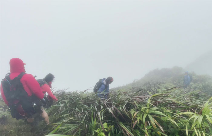
Ko’olau Summit Ridge Trail (KSRT)
Whiteout views of the Windward side.
Wailupe Summit
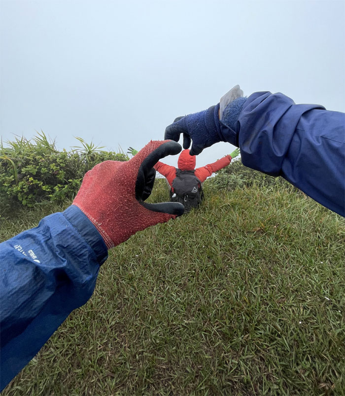
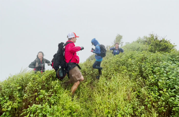
When you have no views, you make your own fun. Photo by Lilyn Avendano.
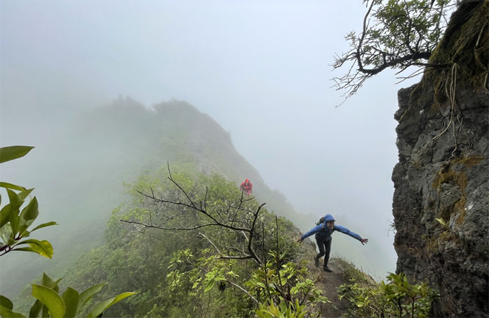
KSRT
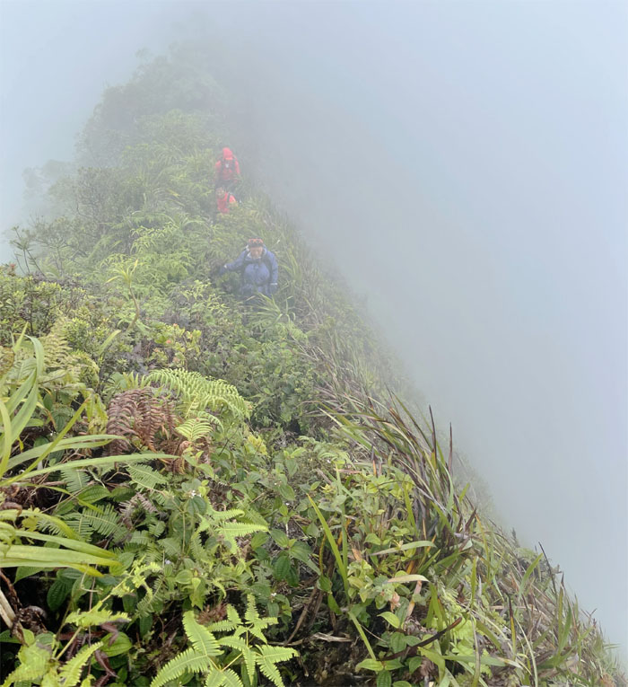
Traversing on the edge of the Ko’olau Mountains. Photo by Lilyn Avendano.
Hawaii Loa Summit
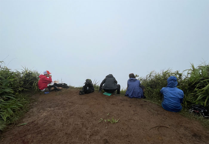
Sharing food at the 2,520′ knob.
KSRT
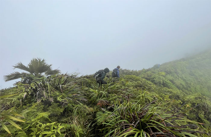
Passing the rustling palm trees as we climbed up and down the hills.
Kulepeamoa Summit
Visually depicting the Hawaiian name for this hill. Or just trying to keep warm.
KSRT
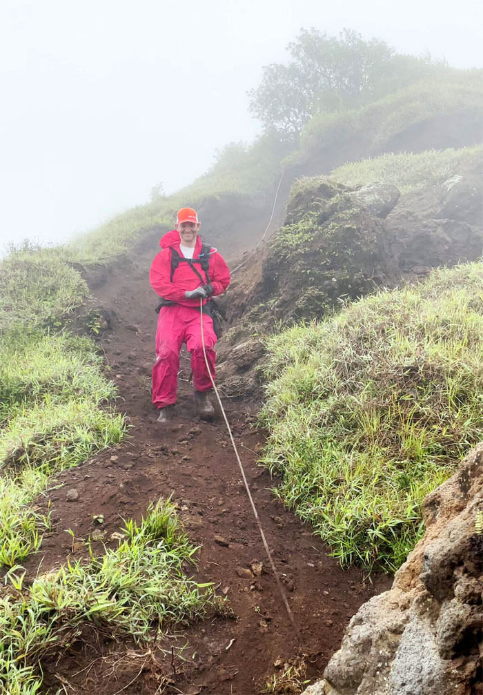
Quan waiting for her turn to go down.
Kuli’ou’ou West
Let’s go down this way! Let’s get ready to rumble!!! Photo by Quan Haberstroh.
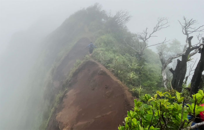
KSRT
Quan crossing over the heavily eroded section of the trail.

IG Spot
Where’s the backdrop? Where’s the tent? Photo by Lilyn Avendano.
Australian Abseiling
Andy descending down the slippery slope face first.
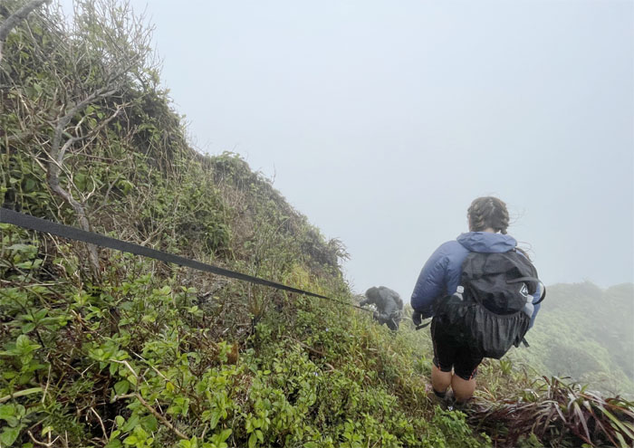
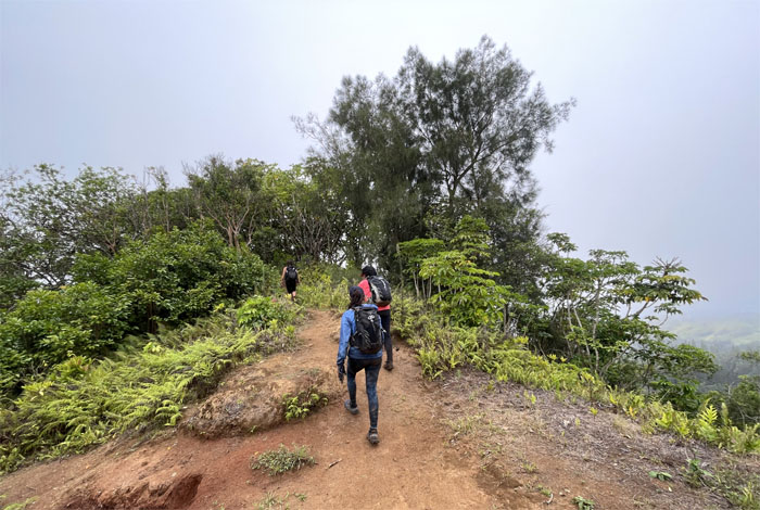
KSRT
Trying to keep our balance on the ridge as the pushy winds continued throughout the hike.
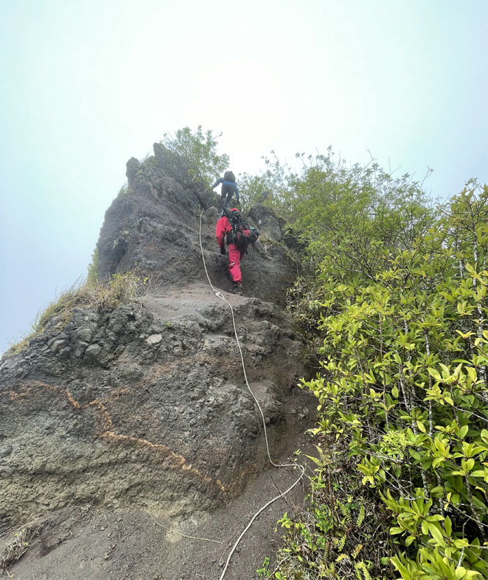
KSRT
Climbing up the rock face to reach the eroded hill. Photo by Quan Haberstroh.
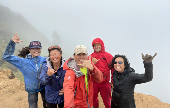
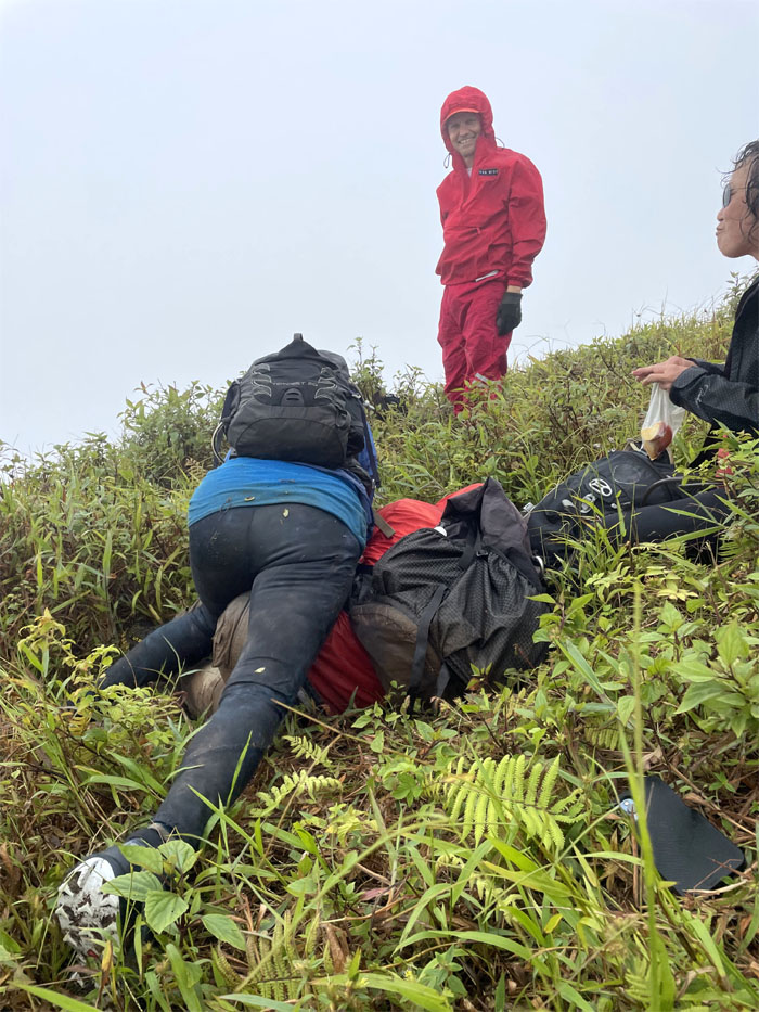
Kuli’ou’ou Summit
Group photo at the 2,028′ summit. Some wanted to bail. Some wanted to continue. Okay, it was just singular.
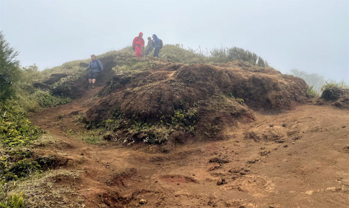
KSRT
The group reluctantly descending from the eroded summit.
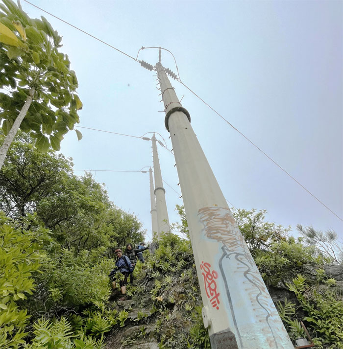
KSRT
Passing the first set of powerline towers on the trail.
Junction
The “mutineers” heading down towards the valley.
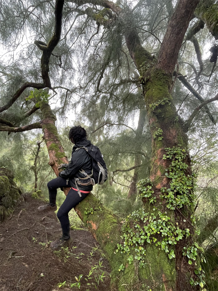
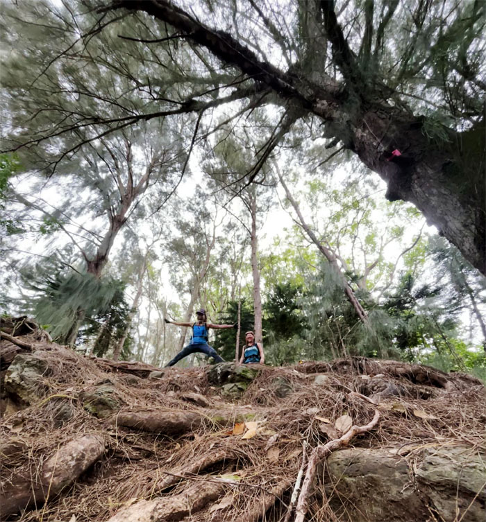
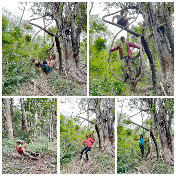
Hahaione Trail
Robin sitting on a tree. All that was missing was a proper noun and another verb. Photo by Lilyn Avendano.
Hahaione Trail
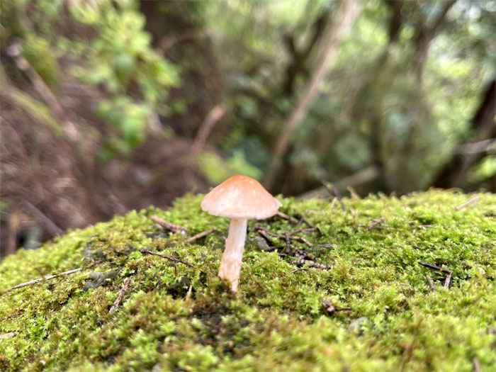
Is that a magic mushroom? Did somebody ingest one going down the trail? Photo by Lilyn Avendano.
Hahaione Trail
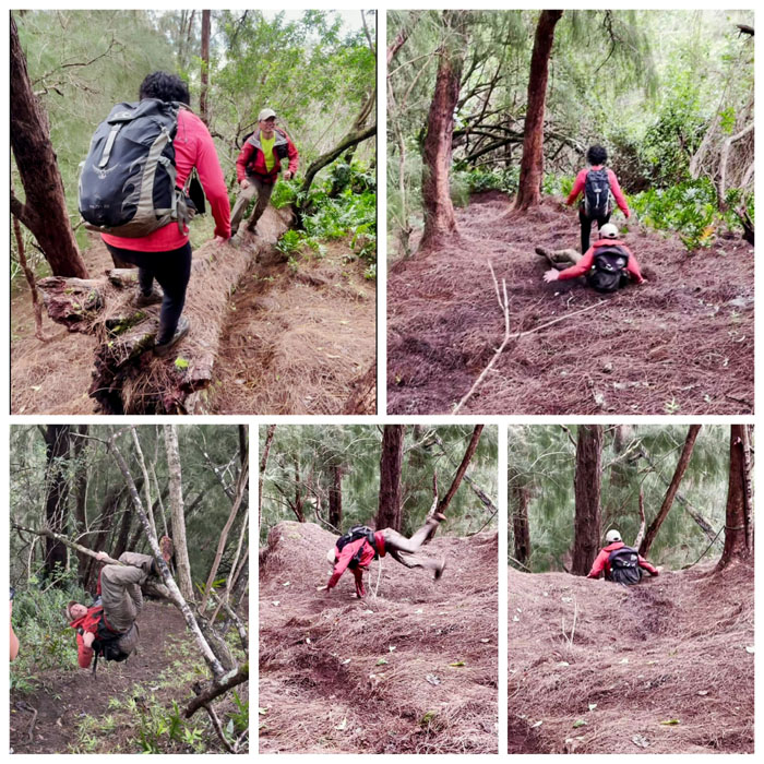
Burning off the excess energy which was not a result of psilocin.
Hahaione Trail
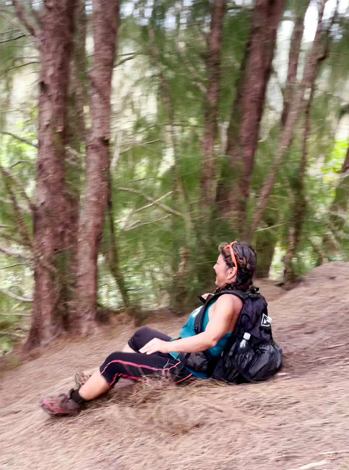
Somebody needs a cardboard box. Photo by Lilyn Avendano.
Animal Crackers
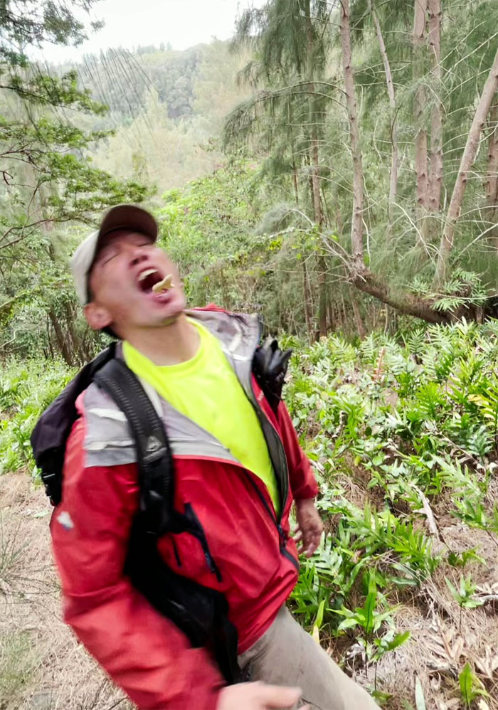
Please do not feed the wildlife. Photo by Lilyn Avendano.
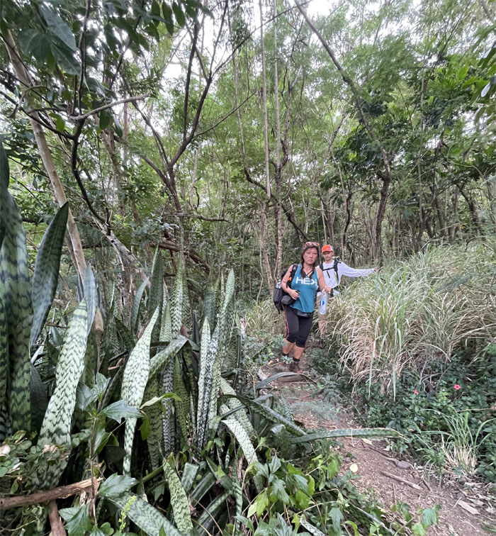
Hahaione Trail
Going down the slippery and rooted slope.
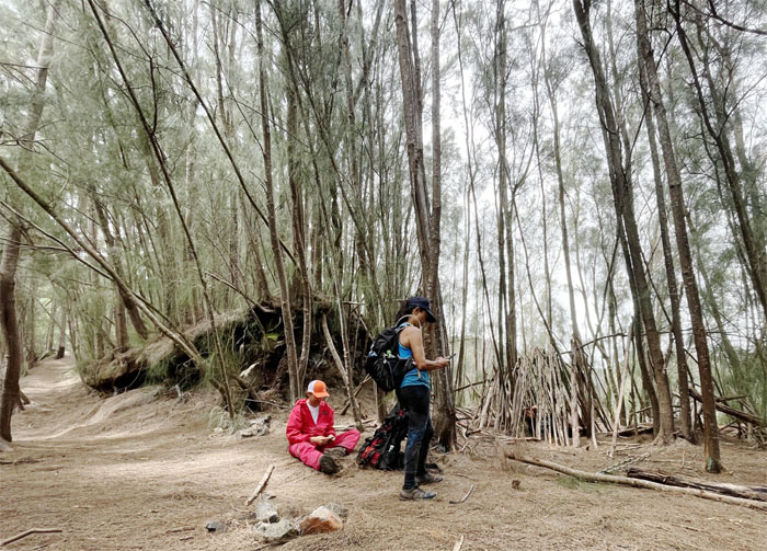
Hahaione Trail
Resting at somebody’s campsite.
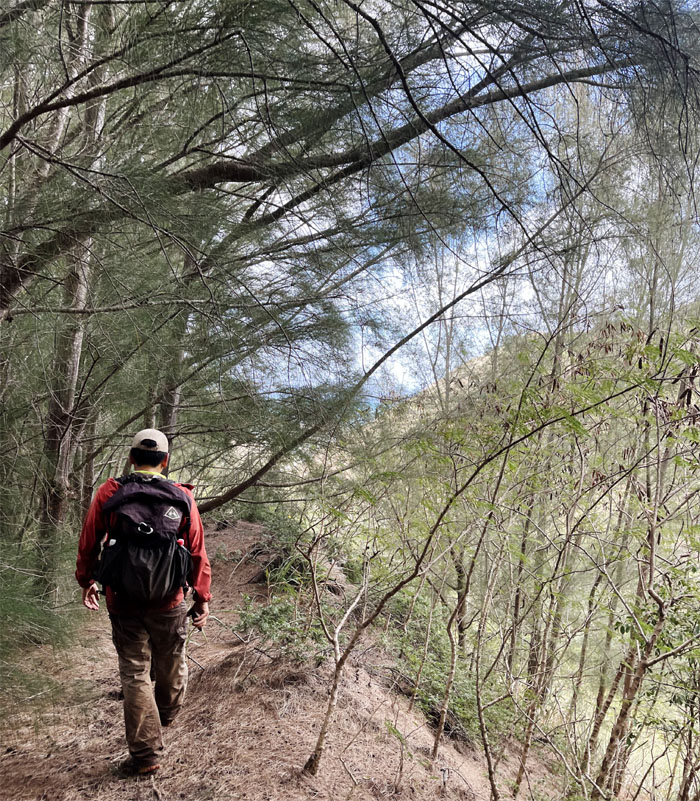
Hahaione Trail
Walking … too far on the trail. Photo by Lilyn Avendano.
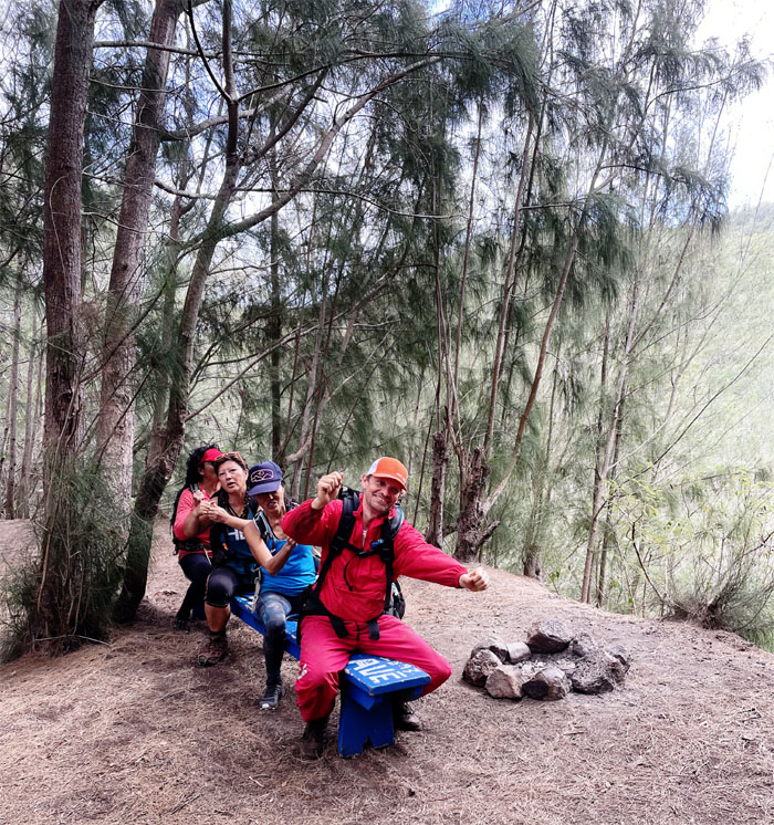
Hahaione Trail
Rowing, rowing, rowing the bench back to the right trail. Maybe these guys took the magic mushrooms.
Hahaione Trail
Hanging out with Mother Nature.
Hahaione Trail
Exiting out towards the shifting sands valley.

All pau
Thanks to Aida and Art for picking us up and taking us back to our cars. Somebody was over dressed for the ride. Photo by Lilyn Avendano.
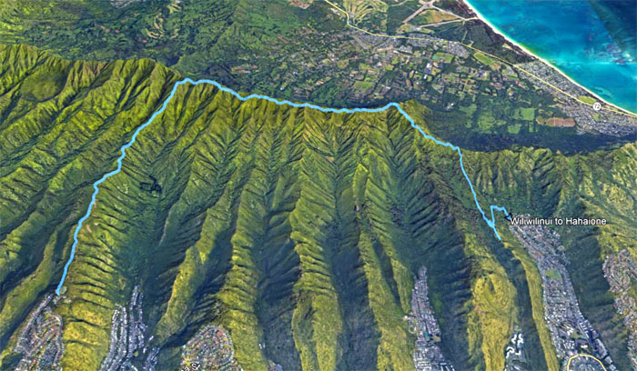
GPS Tracks
Our rainy weather of a hike covered a little under seven miles with fun company. Post hike meal at Outback, where I’m glad clam chowder is back on the menu.
Note: I have been made aware that some hikers have been using my blog as a hiking guide and getting lost on the trails. Please note that this blog was made to document the hike for the crew(s) that did it. That is why some of my comments will seem to have no relevance or meaning to anybody outside of the crew(s) that hiked that trail. My blog was never meant as a hiking guide, so please do not treat it as such. If you find inspiration and entertainment from these hikes, that is more than enough. If you plan on replicating these hikes, do so in the knowledge that you should do your own research accordingly as trail conditions, access, legalities and so forth are constantly in flux. What was current today is most likely yesterdays news. Please be prepared to accept any risks and responsibilities on your own as you should know your own limitations, experience and abilities before you even set foot on a trail, as even the “simplest” or “easiest” of trails can present potential pitfalls for even the most “experienced” hikers.
{ 0 comments… add one now }