
Nobody was in the mood to do a grinder on the KST, so we switched to the West side to do a shorter but slightly sketchy hike. Depends on your interpretation of what exactly is sketchy.

Trailhead
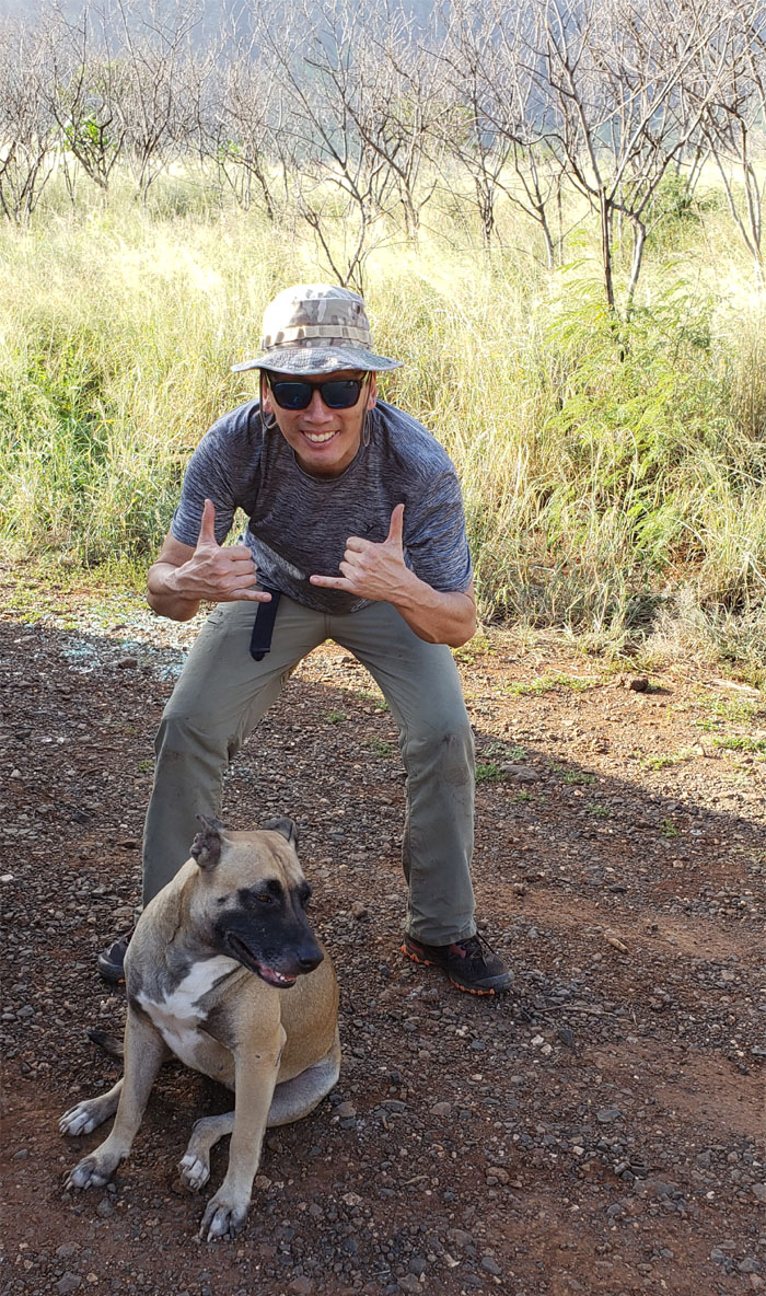
Thanks to Jasmin for dropping us off deep in Waianae Valley where we soon picked up a certain four legged companion that tagged along for our first hike of the year.
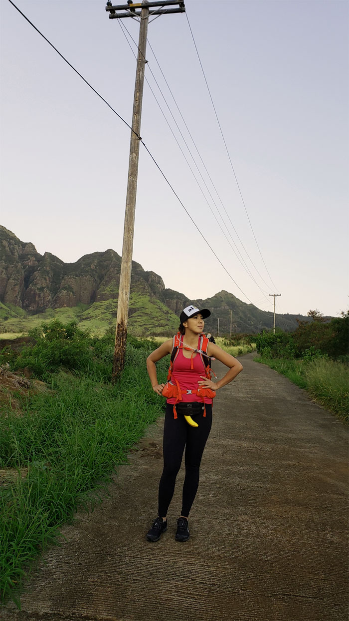
Potassium pants
Is that a banana in your pants, or are you just glad to see us?
Ka’ala Road
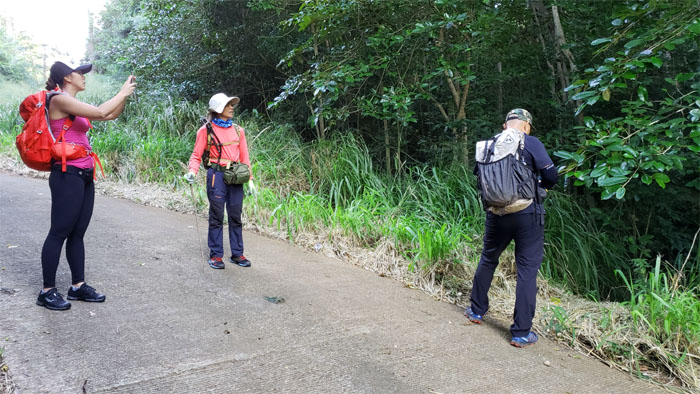
Time to leave the road and get our feet dirty.
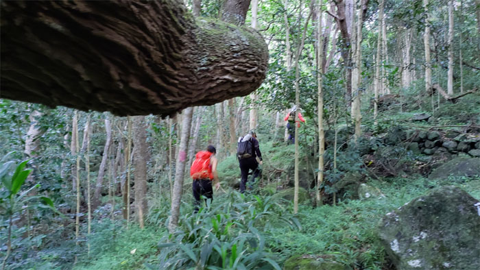
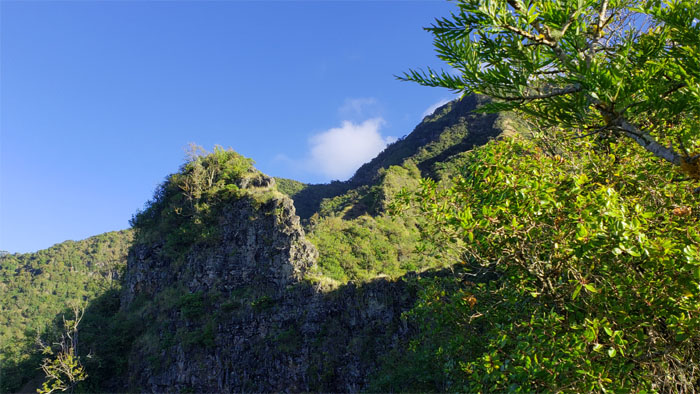
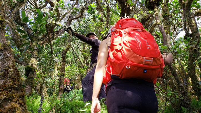
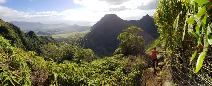
Waianae Valley
We soon lost our canine companion to a group of hikers who were irritated that she was throwing off their dogs.
Waianae Valley
I guess yellow is for Bolohead.
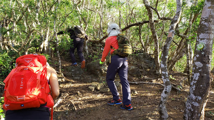
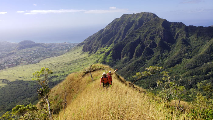
Bolohead Ridge
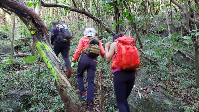
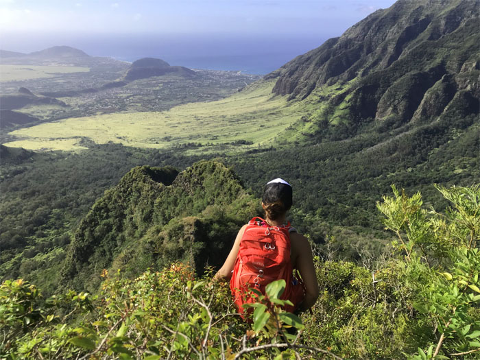
The meandering trail through the valley eventually lead us to our desired destination.
Bolohead Ridge
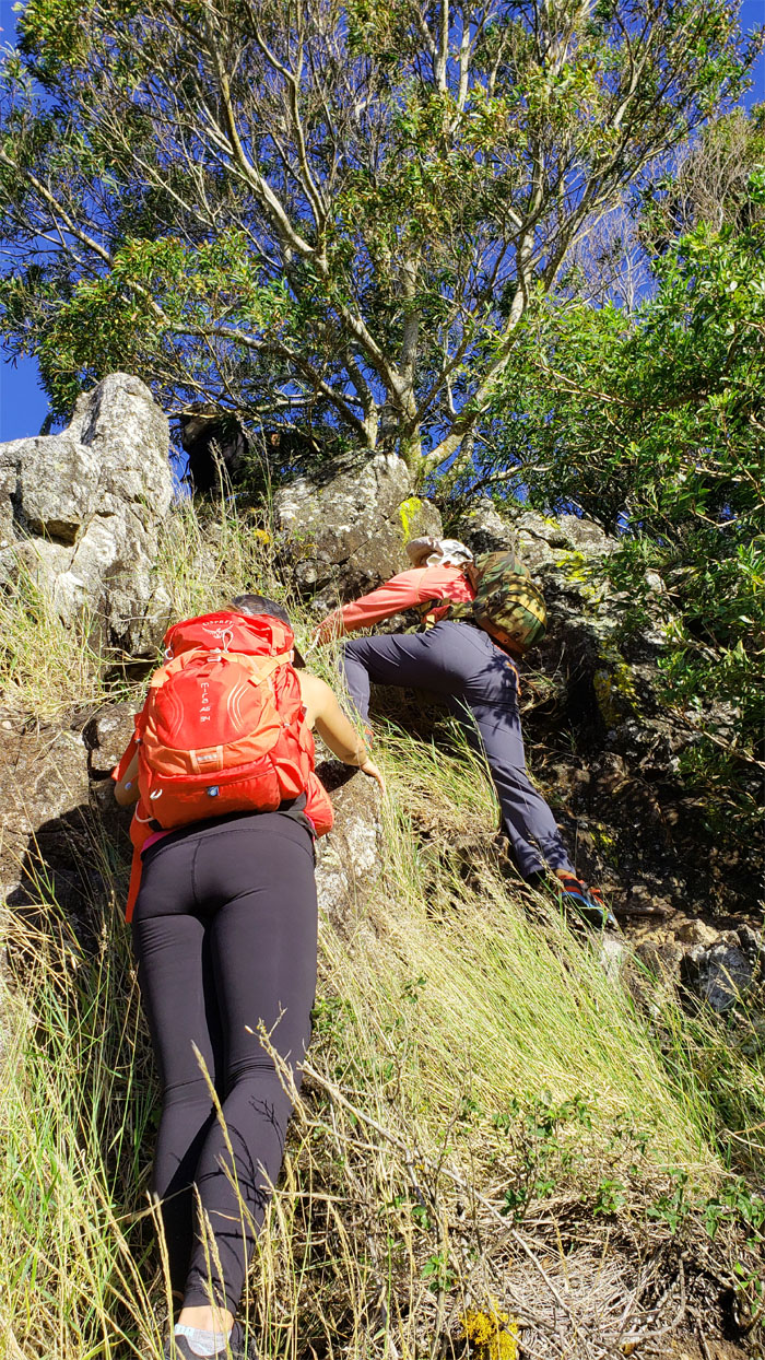
Pushing our way through the dry grass to clamber over the moss covered boulders.
Bolohead Ridge
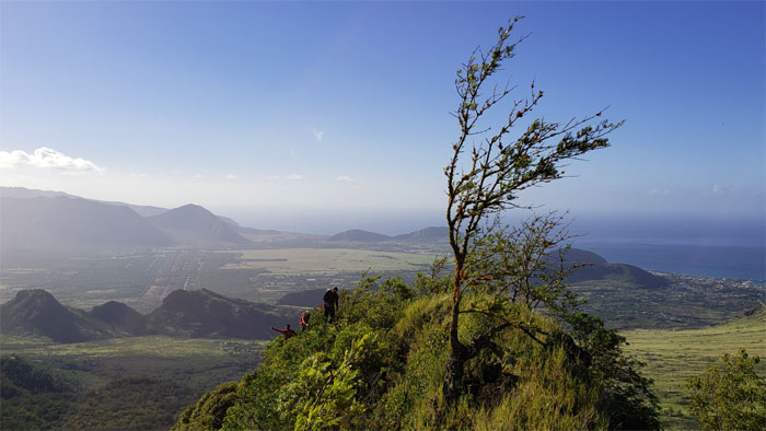
The pitch of the ridge soon relented to a more bipedal friendly grade.
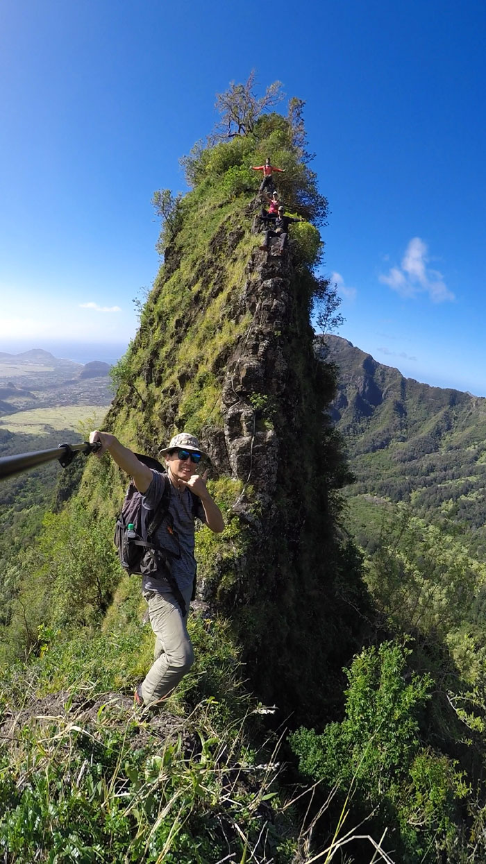
Game of Thrones
Optical illusion, as the space was not big enough to park my skinny butt. Photo by Shirley.
Bolohead Ridge
Is that Bolohead? Nope.
Bolohead Ridge
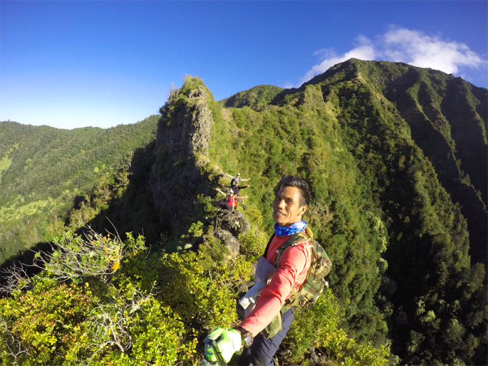
Group photo by Ferlino Carinio on the very narrow and windy ridge.
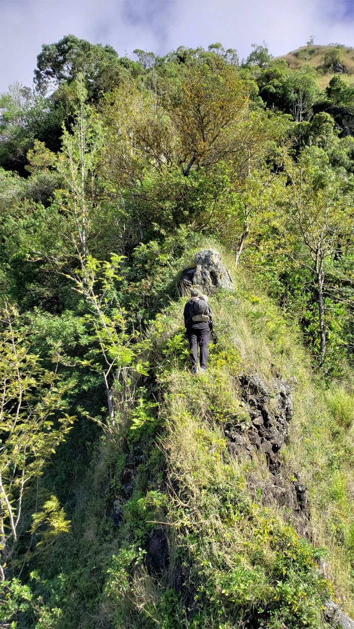
Bolohead Ridge
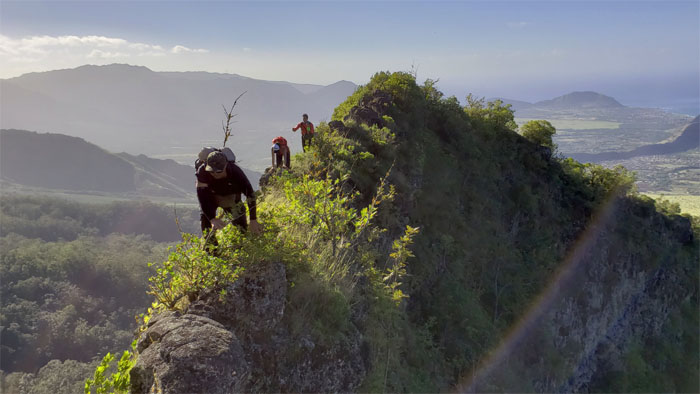
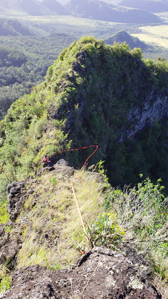
The group making their way over the skinny ridge while trying not to get blown off.
Bolohead Ridge
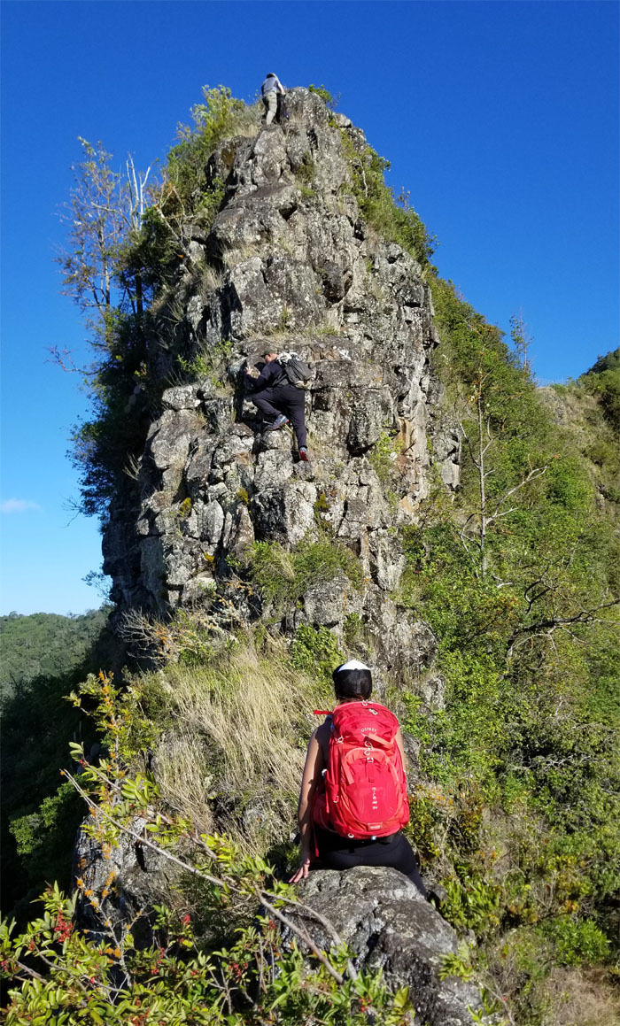
Our first climb of the day. Photo by Ferlino Carinio.
Bolohead Ridge
Which way does the wind blow? Just let the webbing show you.
Bolohead Ridge
One of a few trees on the ridge line itself.
Bolohead Ridge
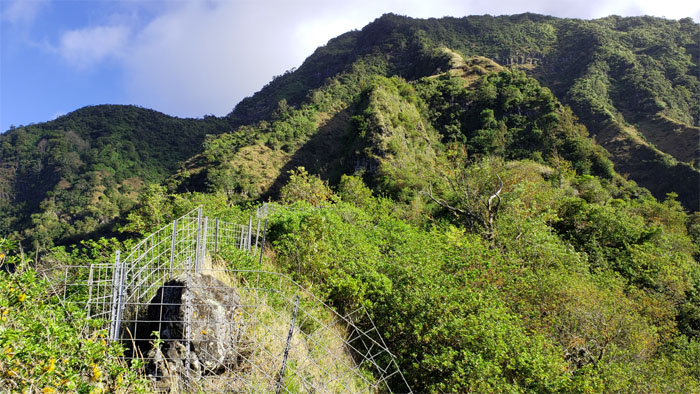
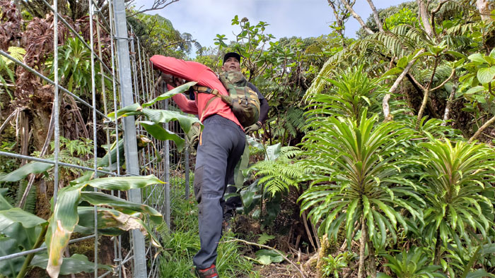
It was just a matter of time before we ran across a fence in these mountains.
Bolohead Ridge
I had tied some webbing to my pack to secure at the top for the rest of the group as I climbed up the front, little did I know that Shirley was at the end of the webbing, stalling my progress. I had thought the webbing had snagged onto a branch and I was pulling up dead weight. It was just Shirley.
Bolohead Ridge
The back side of Bolohead, since nobody got a picture of the front side.
Bolohead Ridge
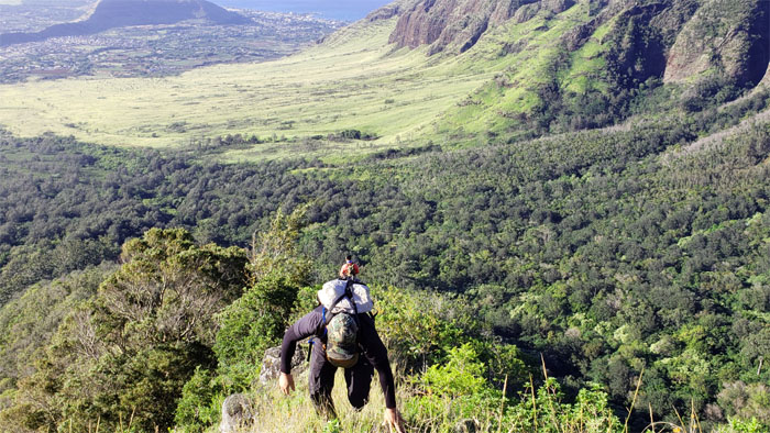
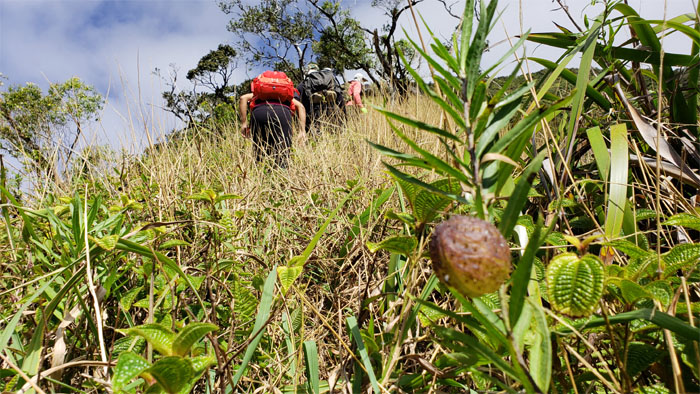
Time to climb to the highest peak on the island.
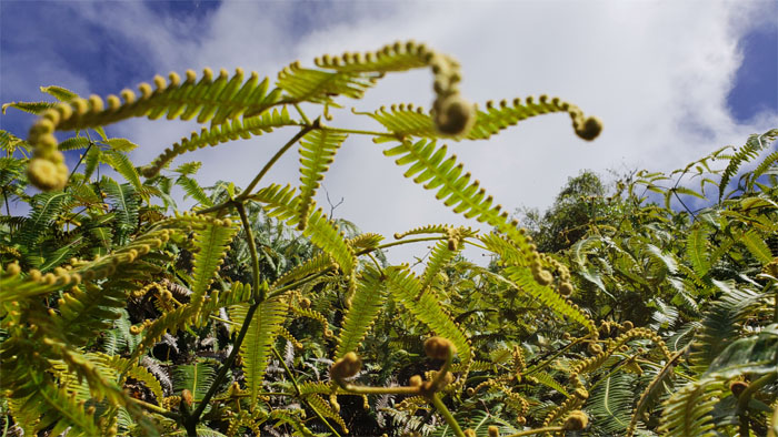
Uluhell
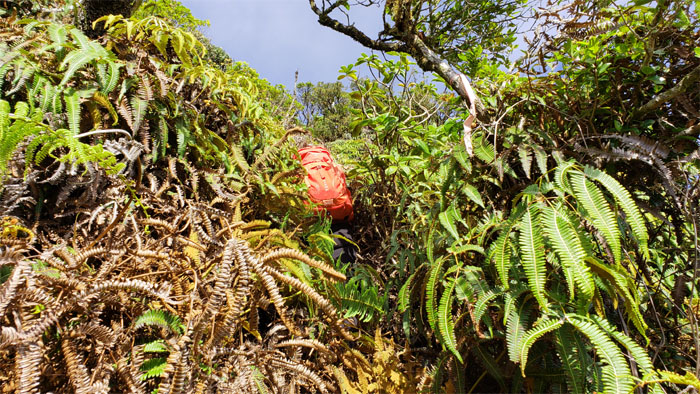
The hardest part of the hike where we were in over our heads literally with uluhe ferns that were so dense and the pollen and dust being released had me constantly choking and gagging. Ferlino climbed up a tree to point us in the right direction as we battled our way out of the fern forest.
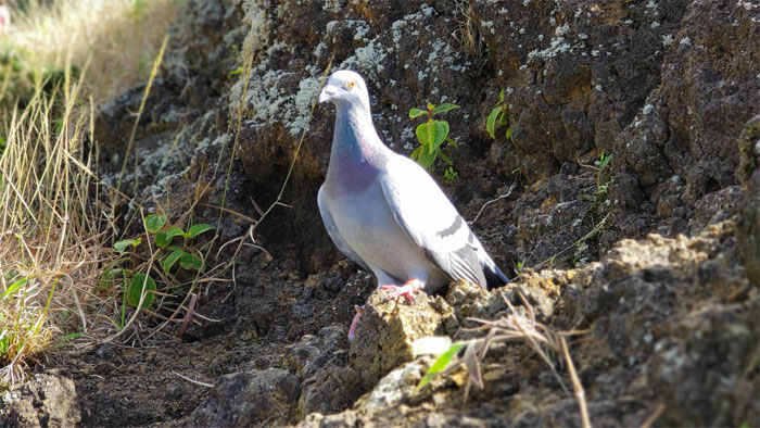
Stand your ground
We ran across this rock dove who didn’t flinch or fly away at our approach. Perhaps she was nesting and keeping a wary eye on us to see if we were egg eaters.
Bolohead Ridge
The tangled thicket of ferns soon gave way to dry grass. Thank goodness.
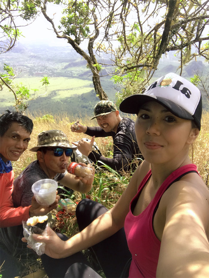
7-11
Our well deserved lunch spot for the day. Photo by Shirley.
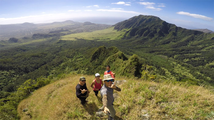
Bolohead Ridge
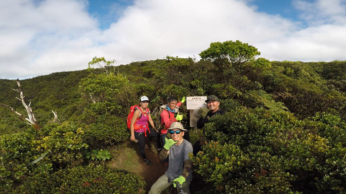
Group photo left to right: Cisco, Shirley, myself and Ferlino with the ridge we had just climbed in the background.
Bolohead Ridge
Passing some hairy balls on our way up.

Bolohead Ridge
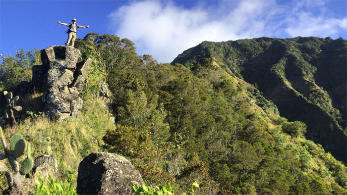
One last photo. I promise. Where have I heard that before?
Ka’ala Bog
We soon reached higher elevation, at the point where refrigerated air from the bog cooled us down.
Ka’ala Bog
Shirley getting swallowed up in the uluhe ferns.
Ka’ala Bog
Following the fence line as we passed native lobelia plants.
Mount Ka’ala
Nobody with the exception of Cisco had an interest in going to the actual summit, despite the excellent weather conditions. We are only interested in going to the summit when it’s rainy and windy, like our last visit.
Waianae Kaala Trail
Grabbing the fence line as we made our way back down to the valley.
All pau
Look who we found waiting for us at the bottom! Photo by Shirley.
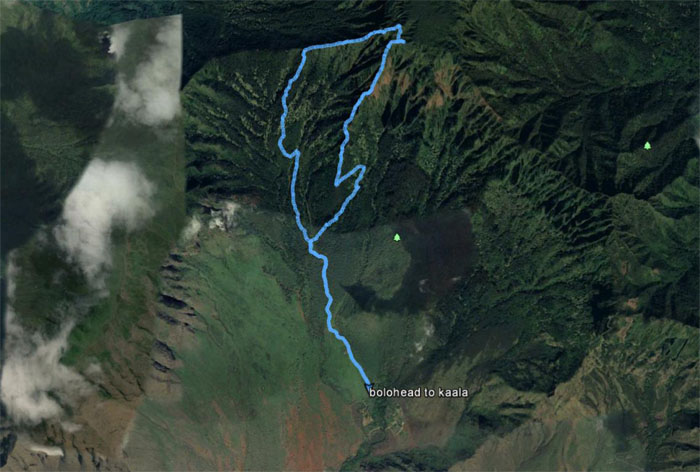
GPS Tracks
Our first hike of the year covered 5.5 miles through valleys and ridges that was blessed with fun company and ideal weather, albeit windy conditions. Thanks to Jasmin for picking us up again and shuttling us to our post hike meal at Coquito’s. The go to eatery on the West side.
Note: I have been made aware that some hikers have been using my blog as a hiking guide and getting lost on the trails. Please note that this blog was made to document the hike for the crew(s) that did it. That is why some of my comments will seem to have no relevance or meaning to anybody outside of the crew(s) that hiked that trail. My blog was never meant as a hiking guide, so please do not treat it as such. If you find inspiration and entertainment from these hikes, that is more than enough. If you plan on replicating these hikes, do so in the knowledge that you should do your own research accordingly as trail conditions, access, legalities and so forth are constantly in flux. What was current today is most likely yesterdays news. Please be prepared to accept any risks and responsibilities on your own as you should know your own limitations, experience and abilities before you even set foot on a trail, as even the “simplest” or “easiest” of trails can present potential pitfalls for even the most “experienced” hikers.
{ 2 comments… read them below or add one }
That was a Fun Gnarly Hike…Thanks Kenji
Aloha Cisco,
Thanks for coming, always a great time!
Mahalo